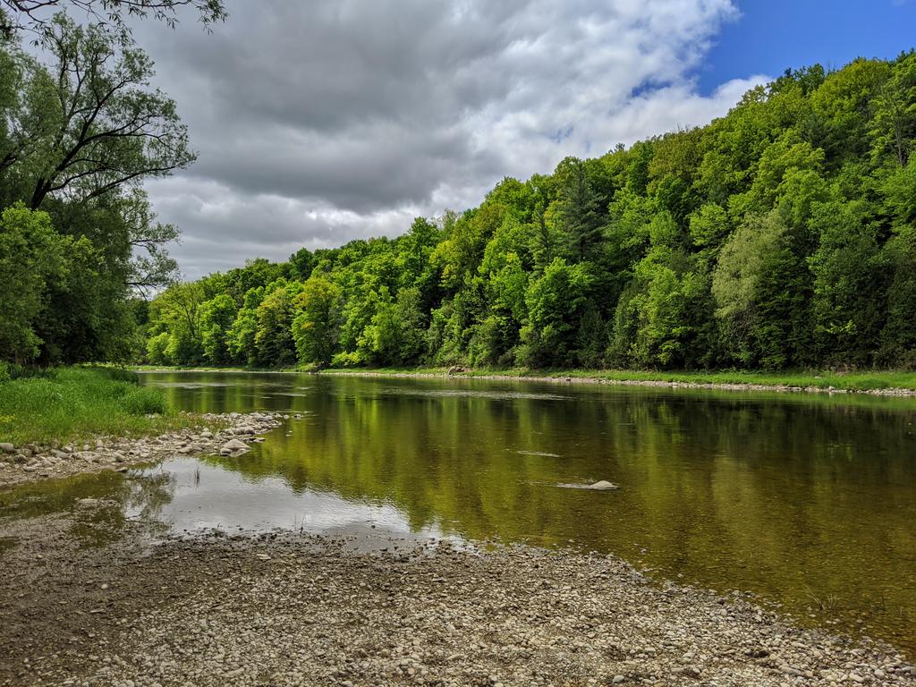
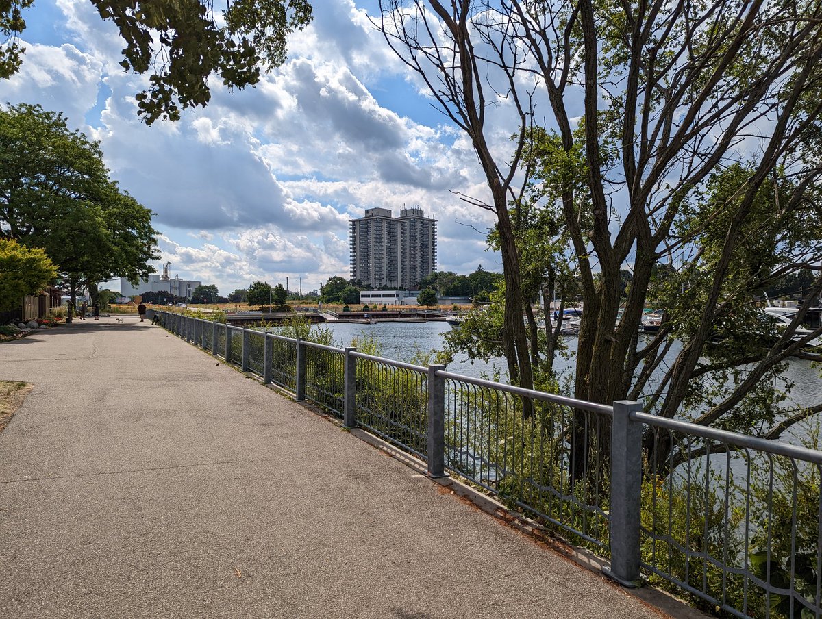
Walking your city is a big part of understanding it. We’ve come a long way since before the internet, and mapping and street image captures have allowed us a glimpse and incredible level of analysis of we’ve never been. But you need a first hand look to gain a deeper understanding, and get into the nooks, crannies and the details that the internet seldom reaches.
Even my walks are the tip of an iceberg. Get out and explore your local metroscapes. Use my website as inspiration.
Below is a map of all current documented walks. Click on any line to generate a pop-up window, which will give you a link to the respective walk page. Alternatively you can browse from the list below.
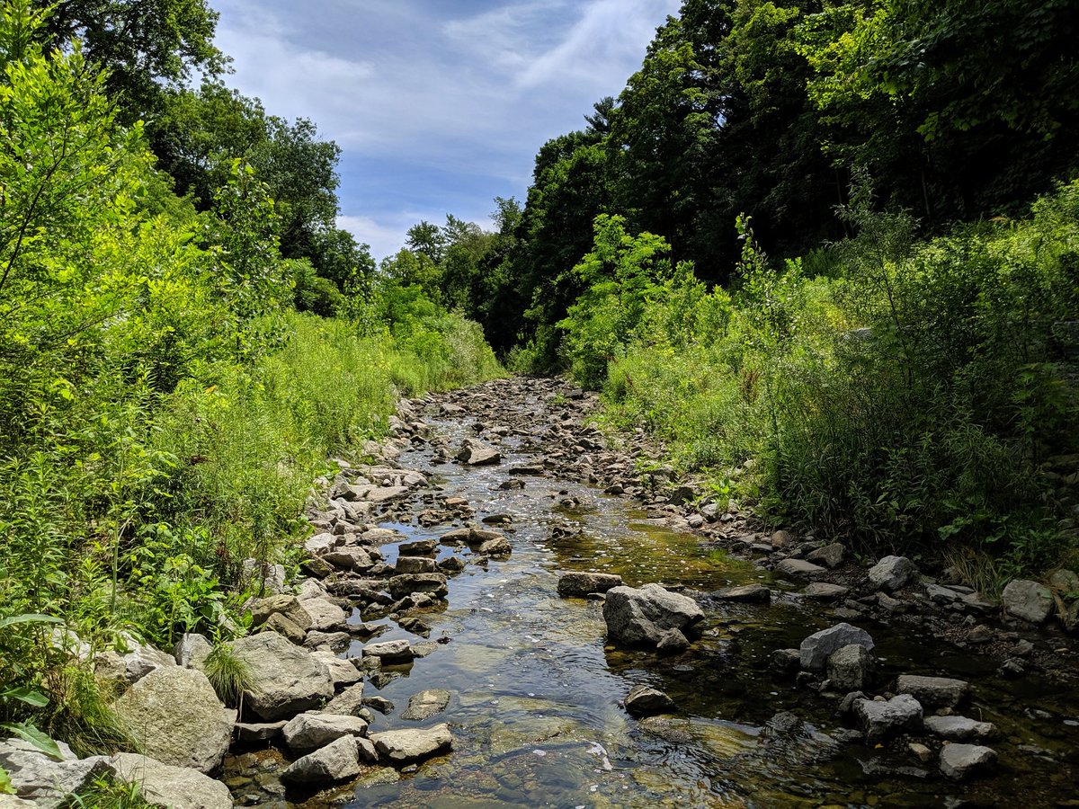
Riverine Walks
Toronto
2016/10/22 – West to Lower Don
2016/11/26 – Mimico I
2017/03/12 – Lower Highland and Shore
2017/04/29 – Progress / Morningside
2017/05/13 – Yellow Creek I
2017/05/14 – Yellow Creek II
2017/06/24 – East Highland
2017/07/29 – Cudmore Creek
2017/09/09 – Wilket Creek
2017/09/23 – Etobicoke I / Shoreline I
2017/09/30 – Crothers / East Don
2017/10/21 – Wilket / Fischerville Creek
2017/11/04 – Newtonbrook Creek
2017/12/02 – Mud Creek I
2017/12/09 – Beaches Creeks
2017/12/16 – North / Jackson Creeks
2018/01/06 – Humber Tributaries I
2018/01/13 – Humber Tributaries II
2018/02/17 – Black Creek I
2018/03/03 – Lower Humber I
2018/03/10 – Bonar / Superior
2018/04/07 – Garrison Creek
2018/05/05 – Centennial / Adam’s
2018/05/12 – Burke Brook
2018/05/21 – Walmsley / Taylor-Massey I
2018/05/26 – Taylor Massey II
2018/06/02 – West Highland I
2018/07/14 – Black Creek II
2018/07/28 – East Highland II
2018/08/05 – Little Rouge
2018/07/14 – Black Creek II
2018/07/28 – East Highland II
2018/08/05 – Little Rouge
2018/09/22 – Mimico II
2018/11/12 – West Highland II
2018/12/01 – East Don III
2018/12/23 – West Highland III
2019/01/26 – West Don III
2019/02/09 – Lower Humber II
2019/03/29 – Black Creek III
2019/04/04 – Russell Creek
2019/04/07 – East Highland III
2019/04/13 – Lower Highland II
2019/05/17 – Etobicoke Creek III
2019/06/14 – Humber III / High Park
2019/06/21 – West and East Humber
2019/07/21 – East Don IV
2022/10/02 – Rouge River I
Kitchener-Waterloo-
Cambridge-Guelph
2019/09/21 – Moffat Creek
2019/09/29 – Riverside Park
2019/10/05 – Grand (Cambridge)
2019/11/09 – Schneider
2020/02/22 – Devil’s / Mill
2020/04/25 – Speed Tributaries I
2020/05/31 – Grand (Kitchener)
2020/06/06 – Idlewood
2020/06/14 – Shoemaker et. al.
2020/08/08 – Laurel Creek
2020/09/06 – Montgomery et. al.
2020/09/29 – Henry Sturm et. al.
2020/10/10 – Speed
2020/10/12 – Grand (Waterloo)
2020/11/11 – Portuguese Swamp
2021/01/17 – Groff’s Mill Creek
2021/03/22 – Strasburg Creek
2021/04/24 – Colonial / Forwell / Cedar
2021/05/15 – Clair Creek I
2021/05/29 – Doon Creek
2021/07/04 – Speed River
2021/08/15 – Little Kitchener Tribs
2021/11/14 – Willow Creek
2022/07/03 – Eramosa / Clythe
2022/08/18 – Speed River II
2023/05/21 – Hanlon Creek
Hamilton-Niagara
Greater Toronto
Ottawa
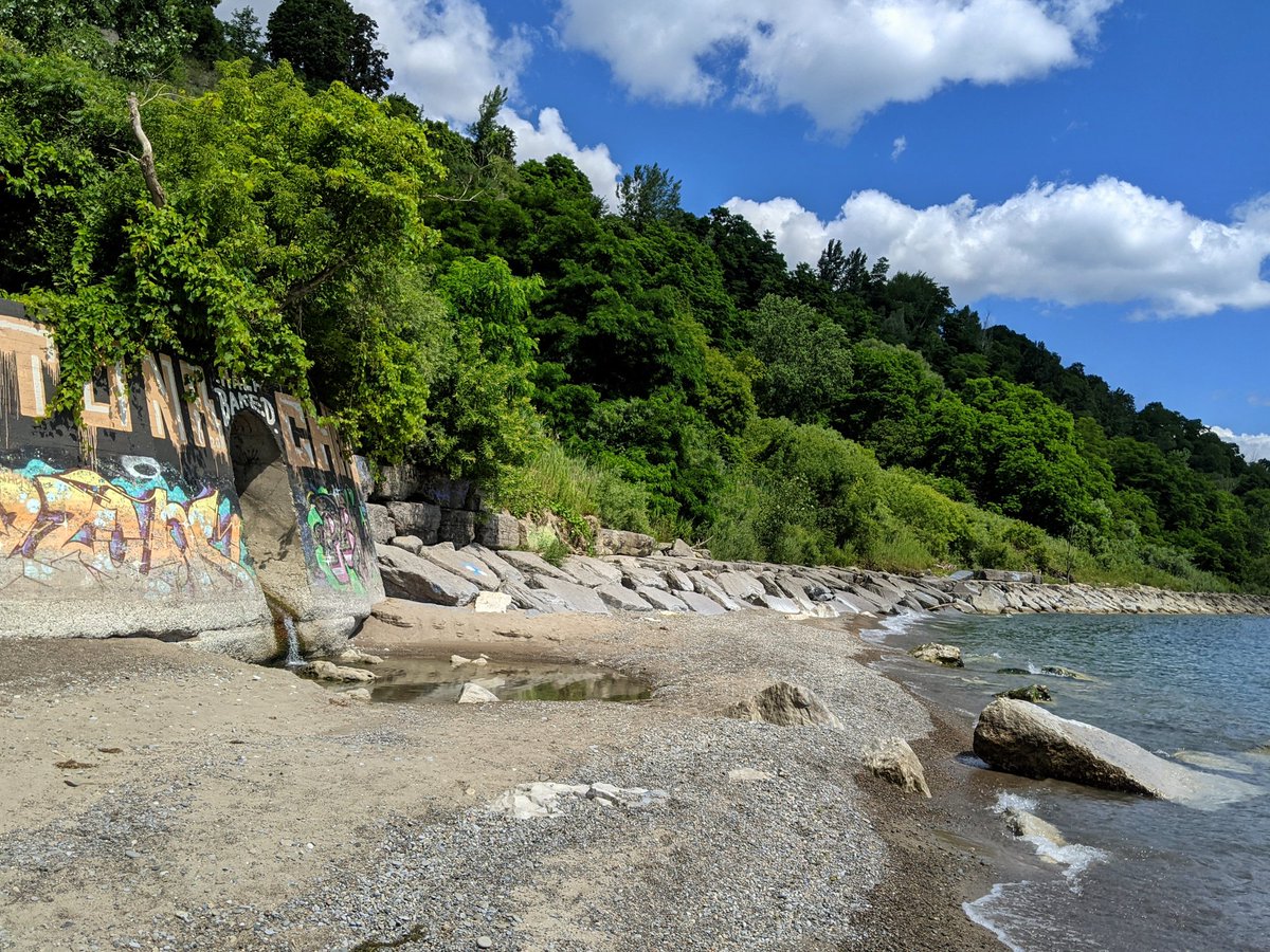
Shoreline Walks
Toronto
Hamilton-Niagara
2021/02/21 – Hamilton Industrial
2022/08/01 – West Harbour / South Cootes
2023/07/07 – East Shoreline
2024/09/22 – St Catharines Shoreline
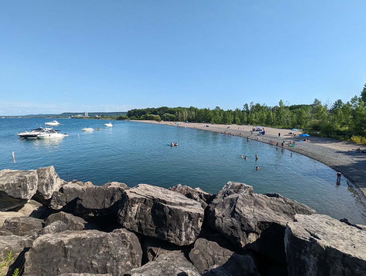
Greater Toronto
2024/04/21 – Burlington Shoreline
2024/06/01 – Oakville Shoreline
2024/07/07 – Mississauga Shoreline
2025/08/04 – Pickering / Ajax Shoreline

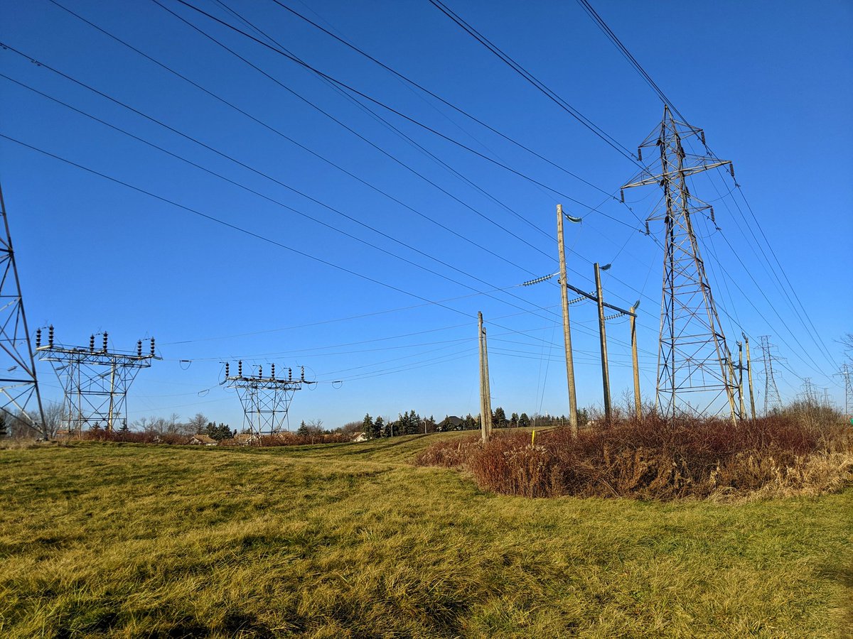
Utility Walks
Toronto
Kitchener-Waterloo-
Cambridge-Guelph
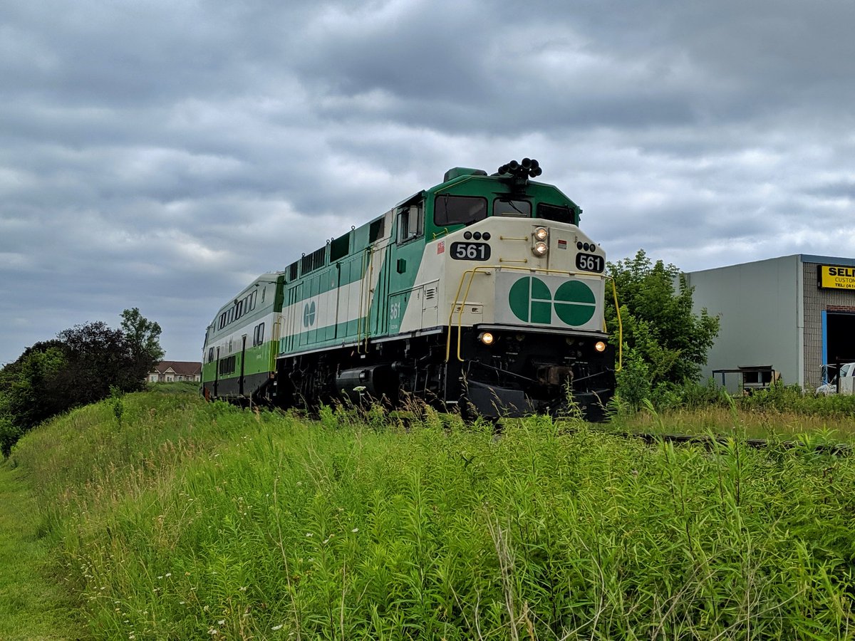
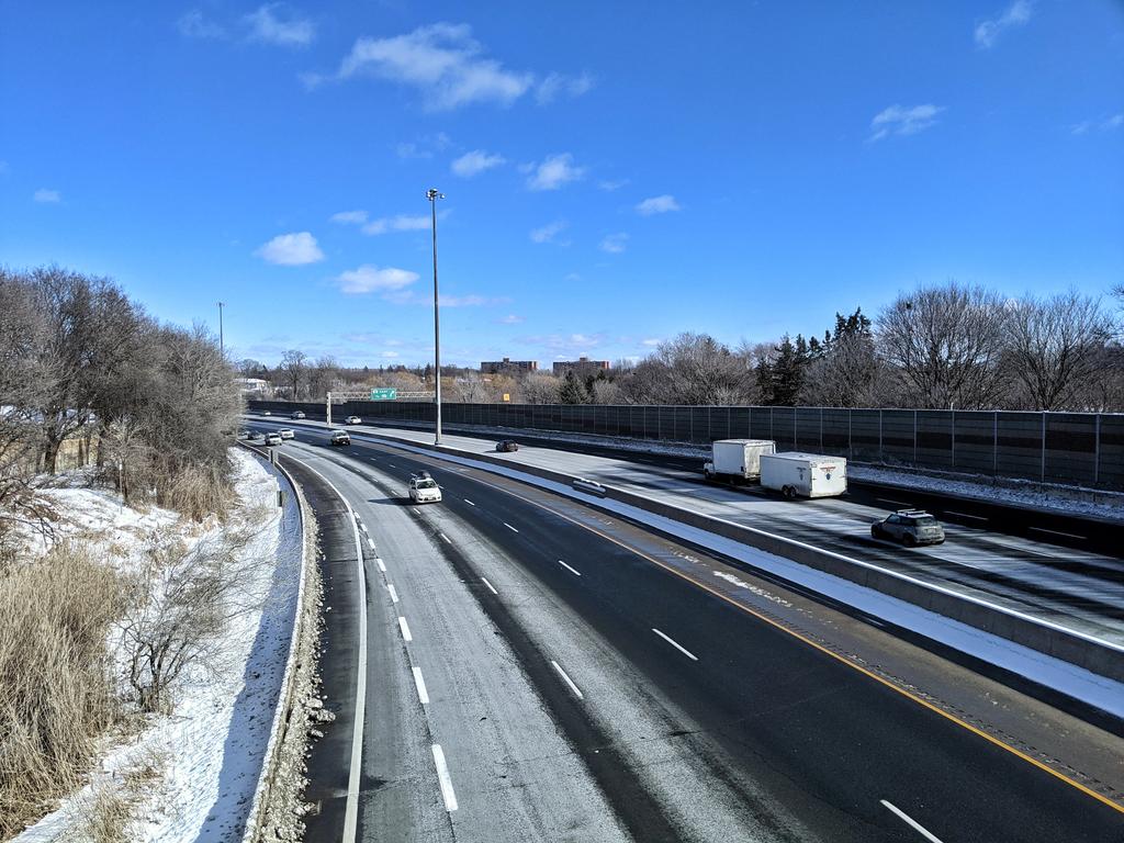
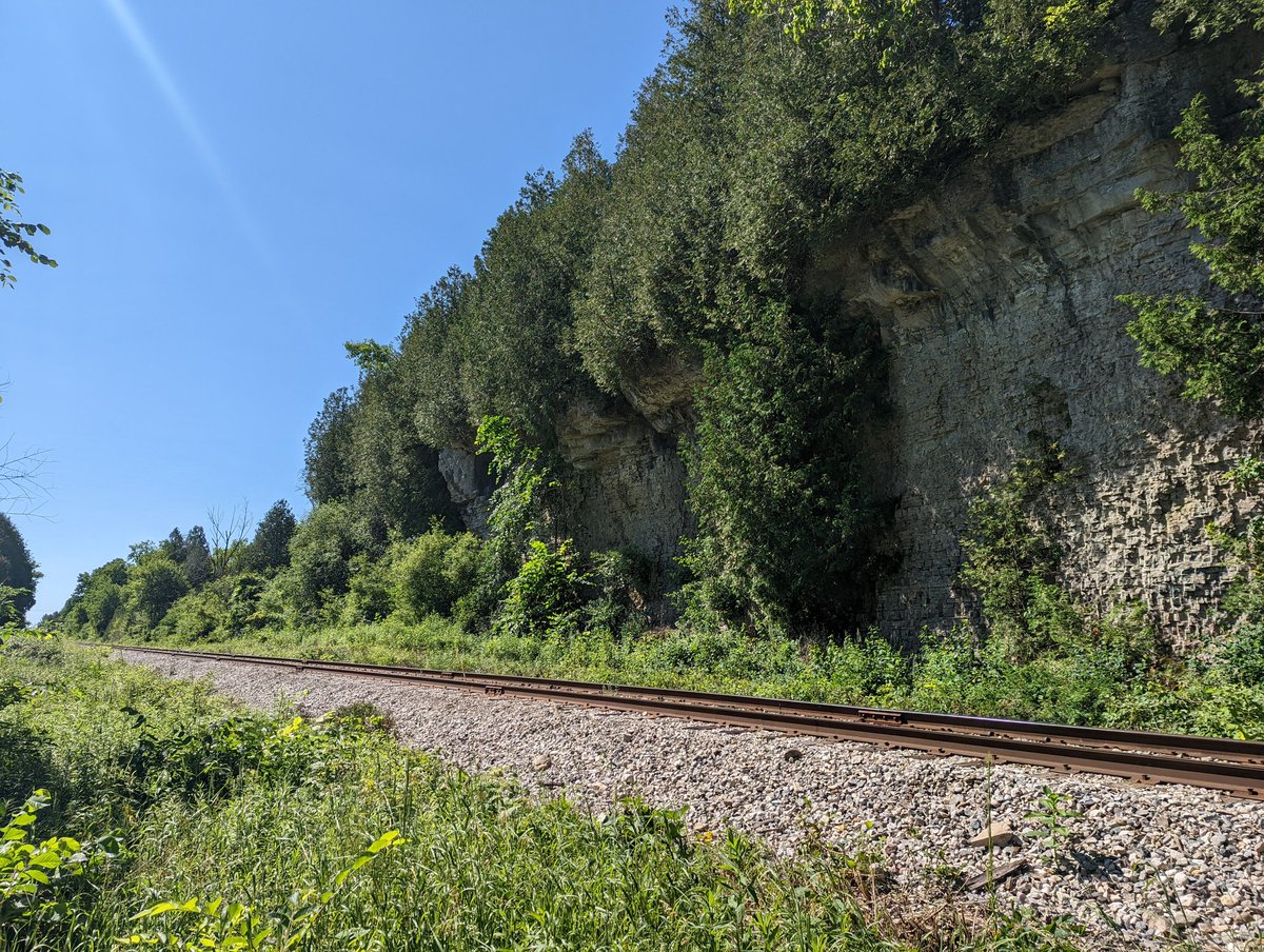
Railway / Highway Walks
Toronto
Kitchener-Waterloo-
Cambridge-Guelph
Tips
Planning / Documenting

Mapping
Maps have been very beneficial to planning and documenting my walks. This can help with wayfinding when you’re out and about, ensure you keep the length of your walk manageable, help you identify specific points or shortcuts to take, and help you remember where you actually went.

Resources
Using certain resources can help you discover lots of what has been lost to history, or is hidden and tucked away. I highly recommend checking out historical aerial imagery to find past features that have been lost, as well as current municipal GIS maps to identify public lands and easements.

Analysis
If you are into doing further analysis, you need a way to enter, formulate and display your data. A spreadsheet application can help you take a lot of raw data, create summary statistic tables, and can be shared and updated automatically on a website. Even if it’s as simple as counting certain elements of your data, a simple formula can provide a ton of insight. Stop counting beans, and start making stats.
Walking

Travel
Exploring your local metroscapes should be a sustainable matter. I encourage using transit to get to and from a walk by planning to start / end at local transit stops, where possible.

Food
Brings snacks and/or a meal. This can either be something you can eat out of tupperware along the way, or picking a local restaurant on your route. I recommend at least two things you can eat with your hands: something with protein, and something with some sugars; the former can fill you up and satiate your hunger, and the latter can give you an energy boost if/when you hit a wall of fatigue. My personal favourite snacks are crackers with peanut butter, as well as clementines.

Drink
Staying hydrated is important for your muscles on a hike, otherwise you’ll cramp up. Make sure you take water with you during your trip, regardless of whether it is hot or cold. I like to start off my walks with a mug of coffee, but still need water along the way.

Bathroom
Going to the bathroom can be a tricky affair to plan. Just like food, I would try to identify potential bathroom breaks along your walk.

Property
Respect private property. As for public spaces, no trespassing signs and/or fencing should be your indicator that you should not enter.
Hazards
Make sure your walks are safe and geared to your abilities; and don’t put yourself in danger. This includes staying away from cliff edges and eroding banks / bluffs. Also use caution near waterways during and after major rainfall or ice melting / ice jam events. Monitor warnings from your local conservation authority and municipality, and heed any signs that restrict access due to hazardous conditions.
