Nice day for a walk. Taking off west of Pearson to follow Etobicoke Creek south. Partly a redo of a previous walk south of Eglinton, trail and rehab work were happening at the time and have since been completed. Let’s go.
A trail will take you from Dixie, parallel to an urbanized tributary to its confluence with Etobicoke Creek on the airport lands. Mind you the creek enters the airport lands further north, but within a runway path.


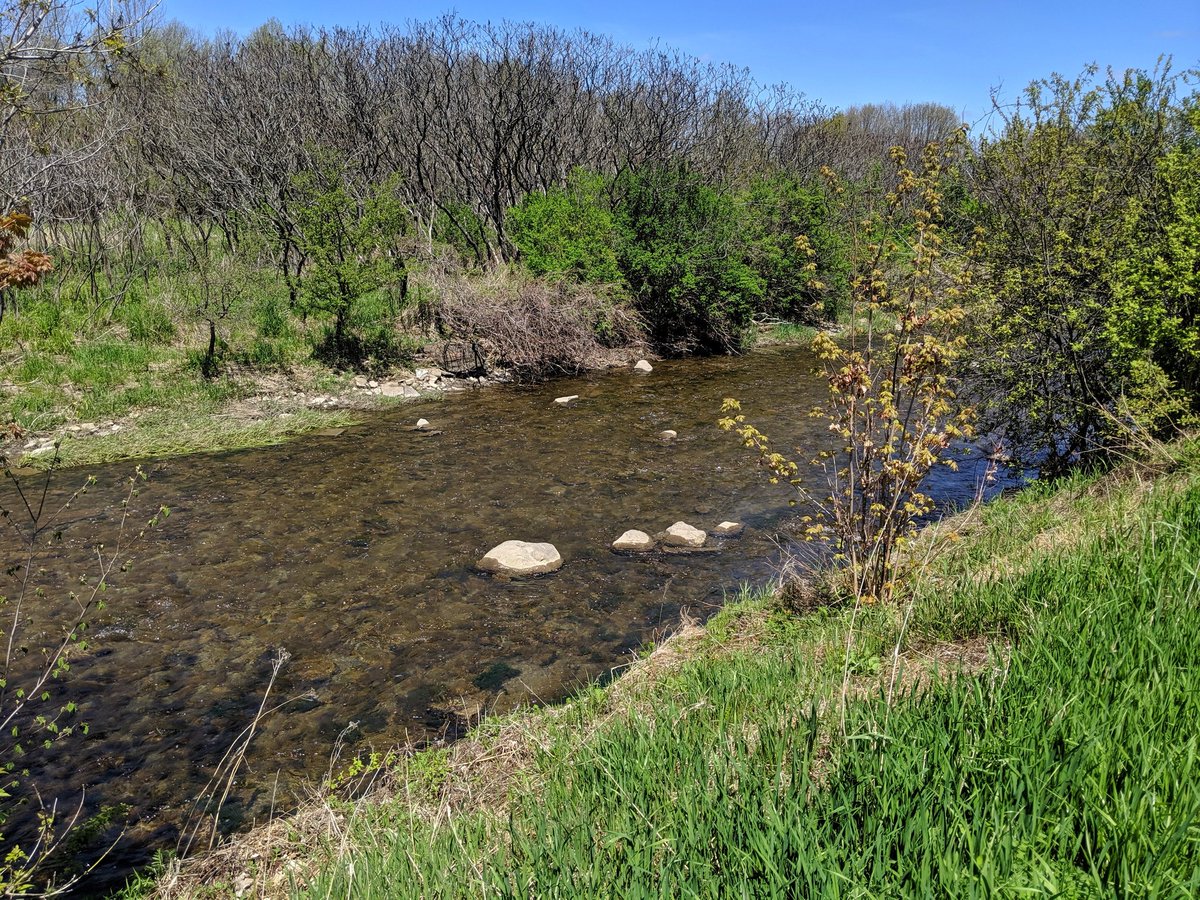
It’s surprisingly natural and lush down here. When they’re not drowned out by aircraft, you can hear lots of birds and frogs. Which is surprising; airports generally don’t like natural areas near their runways if it could attract birds, because of the risk of a strike.
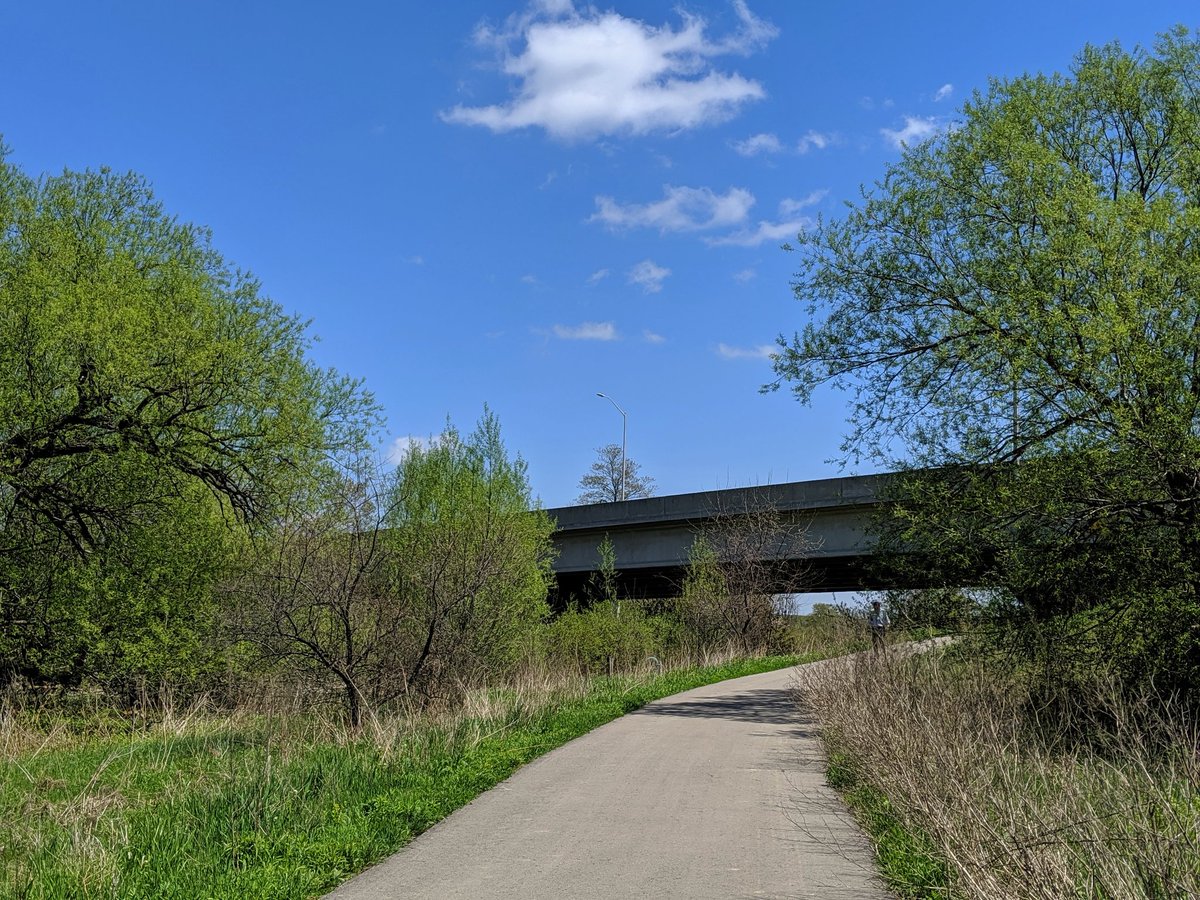
You don’t really realize how big Pearson is until you gotta walk around it.


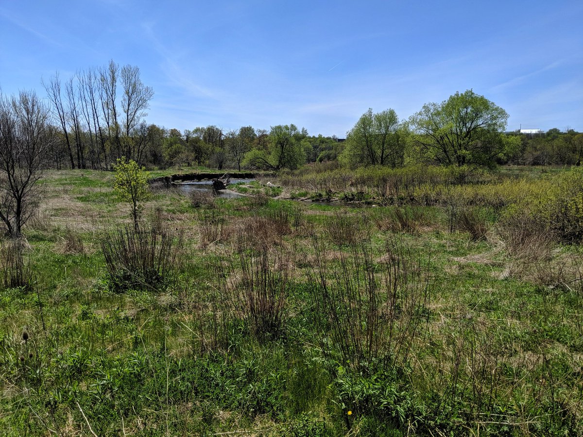
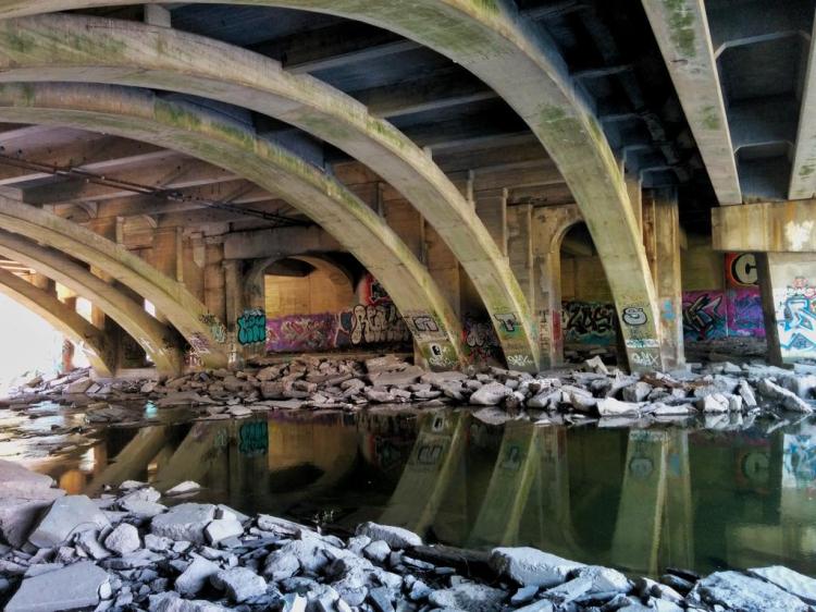
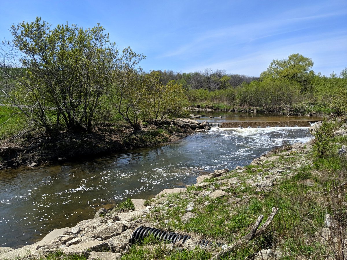
It’s a harsh environment in a runway’s flight path, absolutely ear splitting. But Etobicoke Creek sure looks pretty through it all.


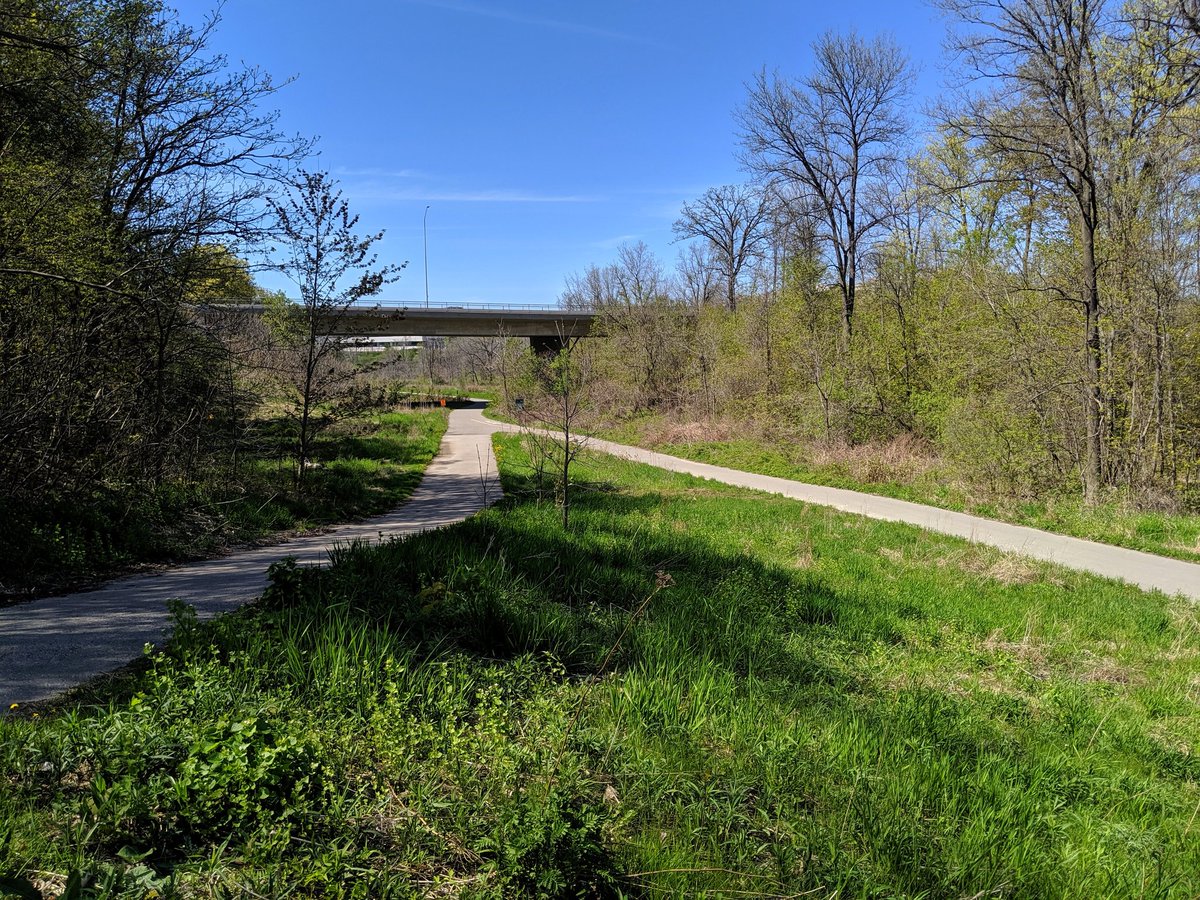
I must have missed the sign. Etobicoke Creek Trail is closed under the 401 due to construction. Looks like I gotta backtrack and get around somehow. A detour would have been nice, but accomodating pedestrians is rarely deemed worth the effort.

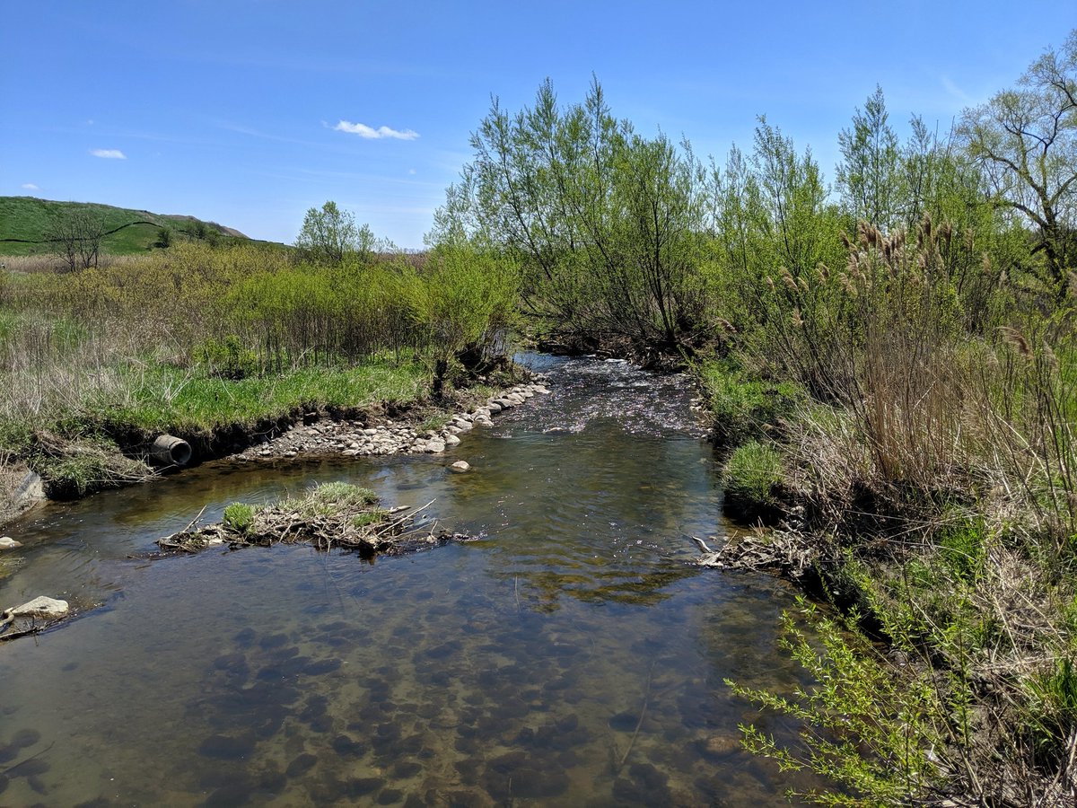
Made it back to Etobicoke Creek south of Matheson. Nice little access off Sismet.

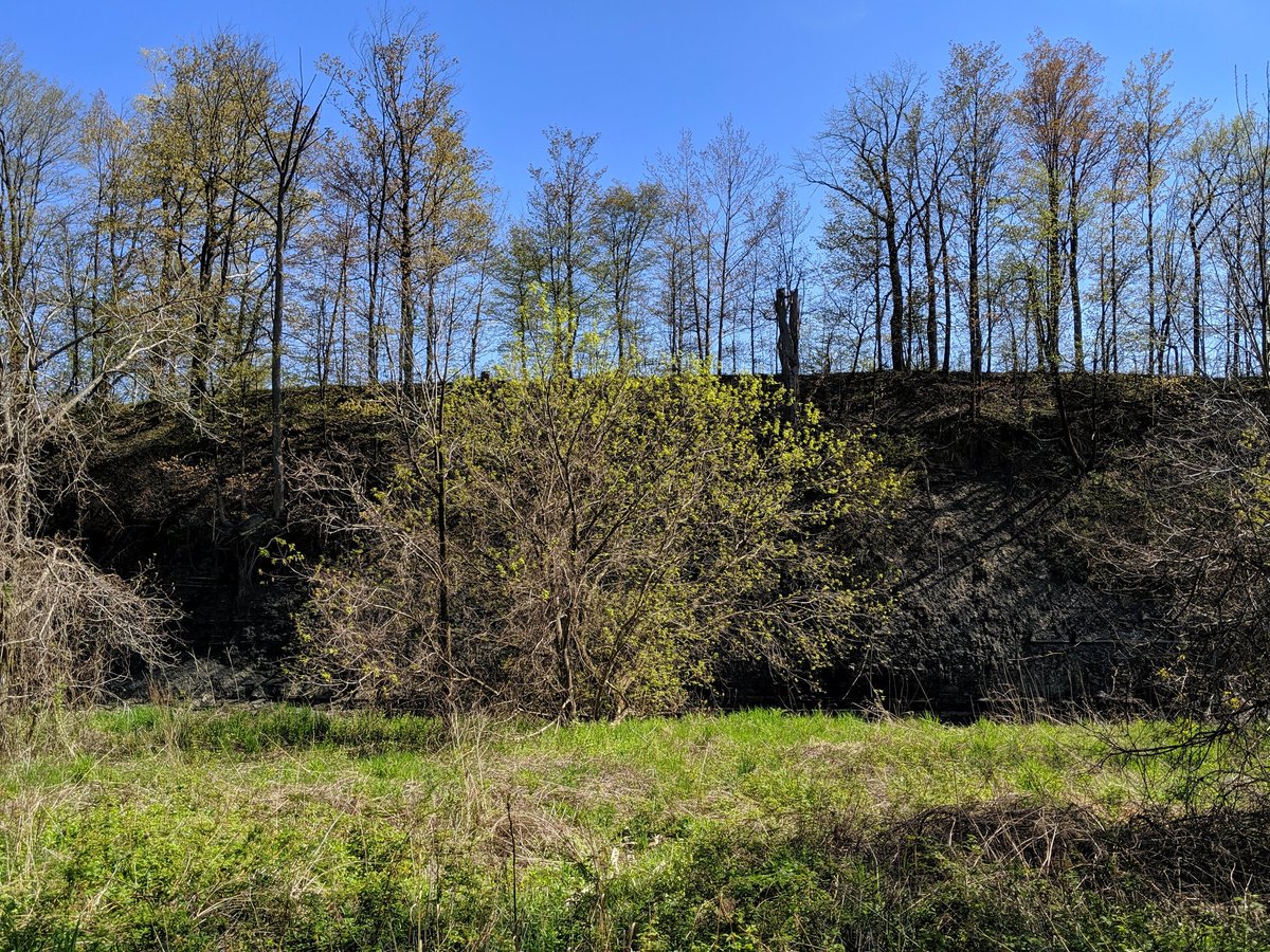
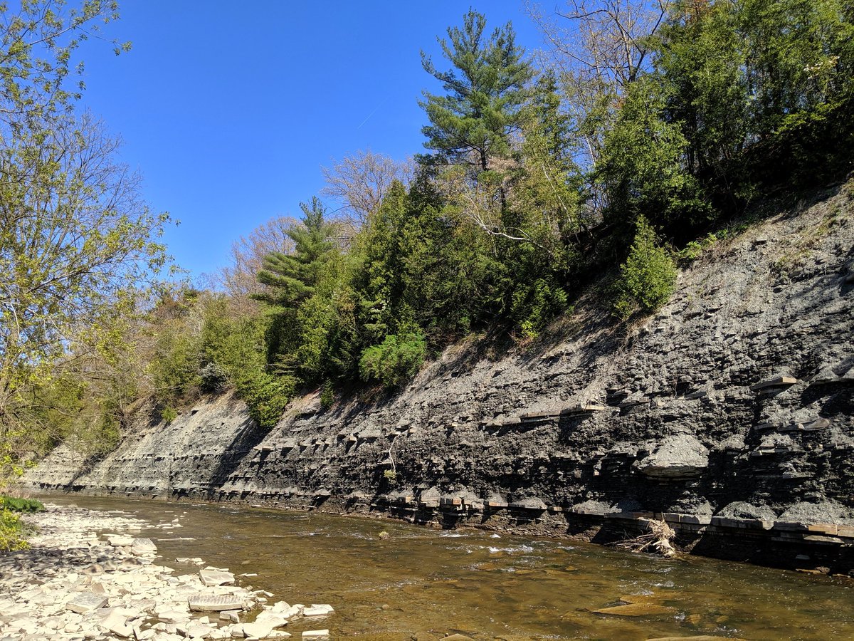
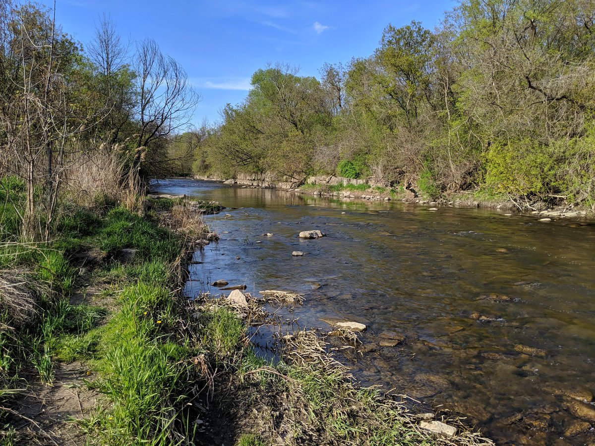
South below Eglinton, and finally into Toronto proper. There were signs of the flat chunks of shale that dominates this longitudinal part of the region, but it is super obvious south of the 401 as it makes up portions of the ravine slope.


Coniferous, water, bedrock. You can get it here in Toronto. Driving north up the 400 not required.
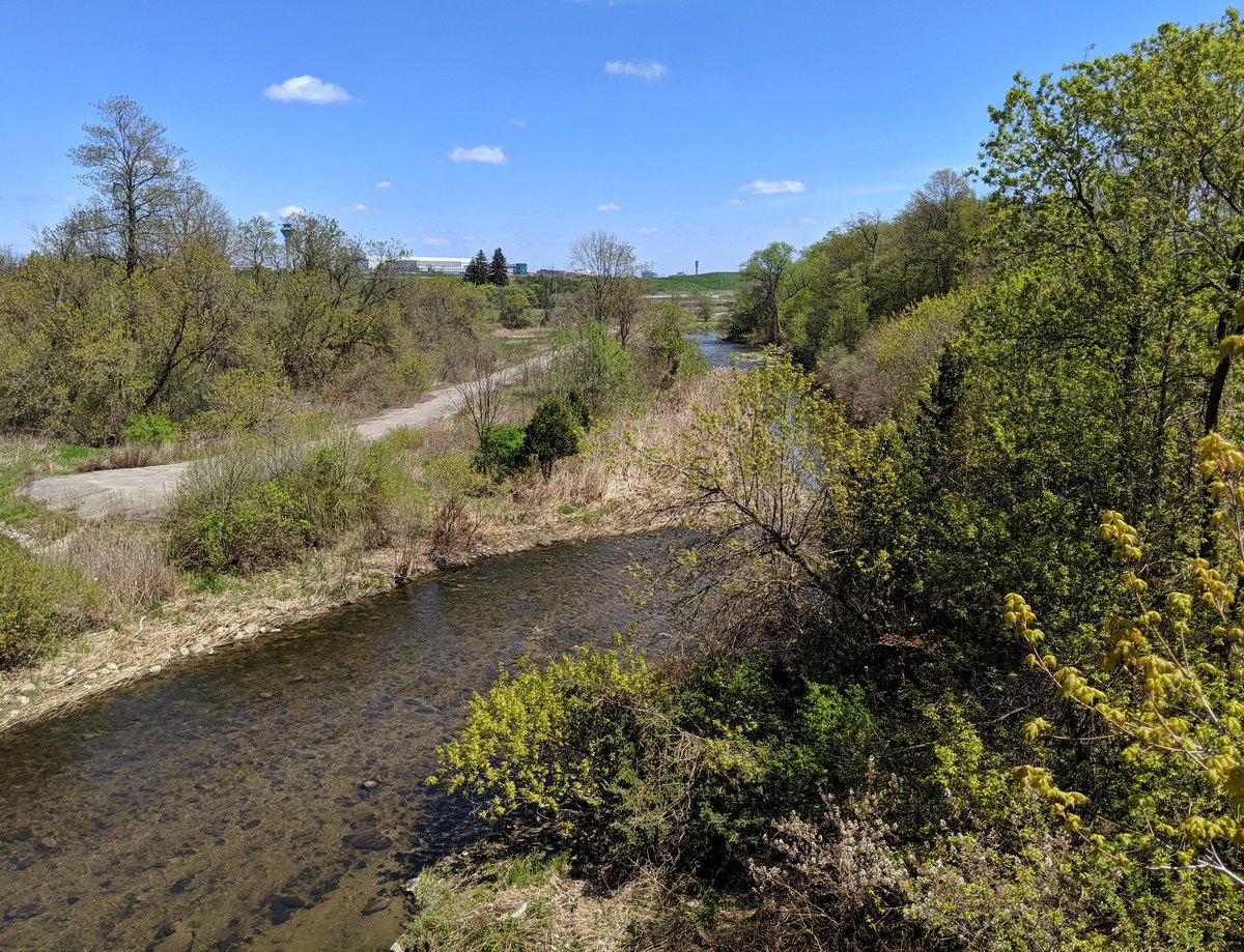
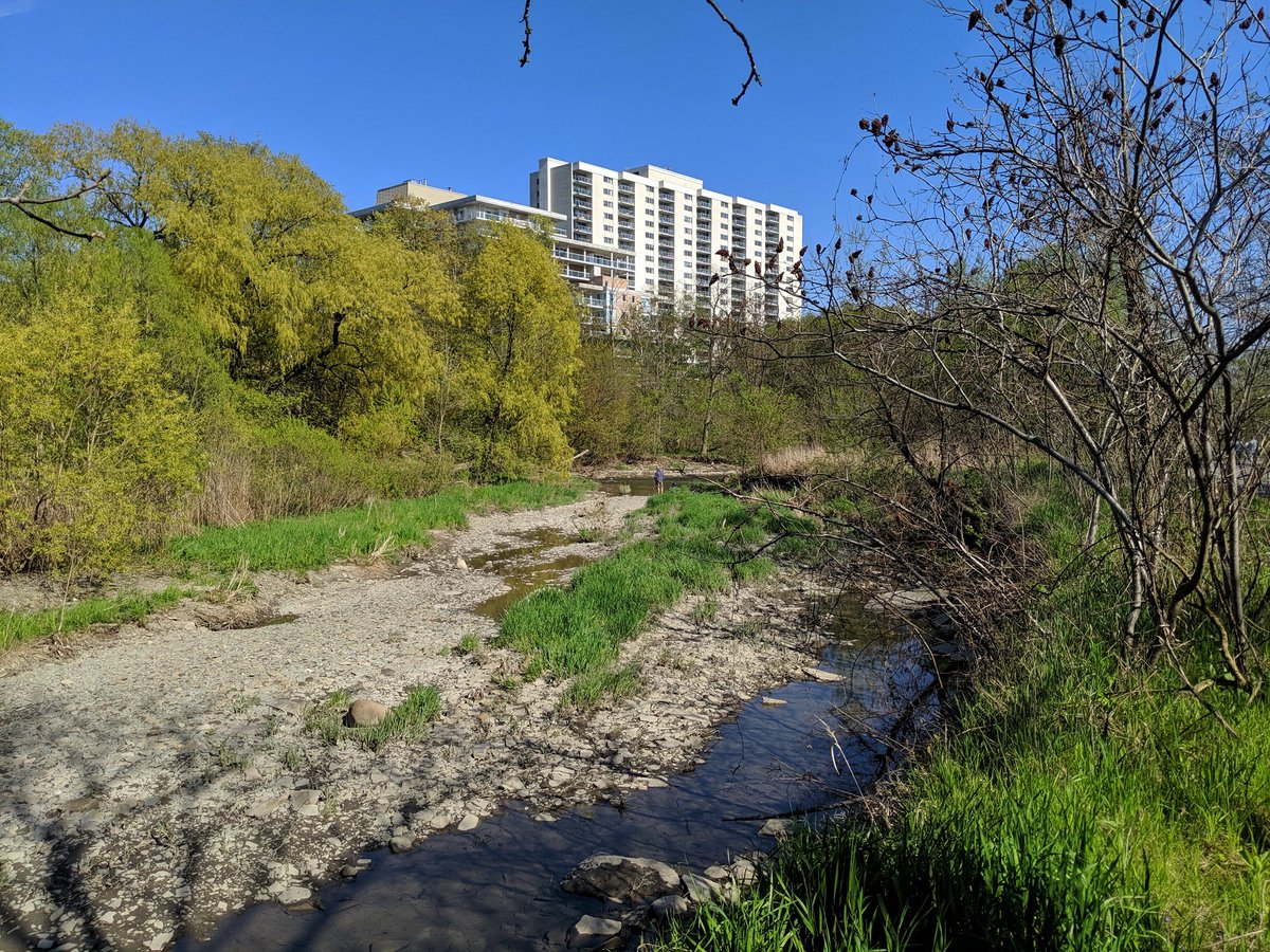
The roar of airplanes at Pearson are dull enough now to be a faint memory. High rises come into view.


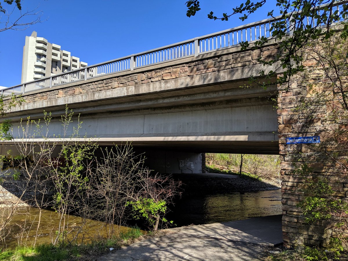
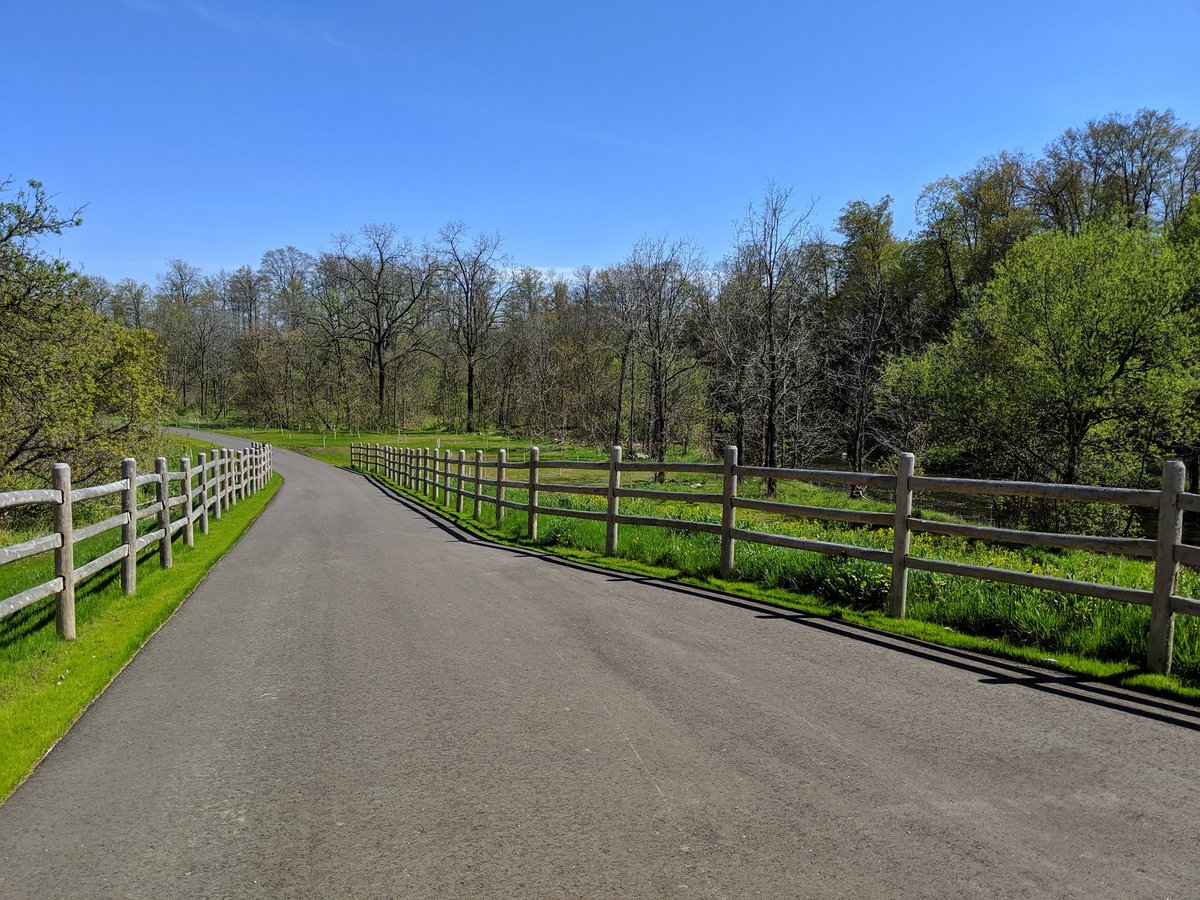
South of Burnhamthorpe, the Markland Wood Golf Course starts taking over the ravine, pushing trail users away from the creek and to local streets.


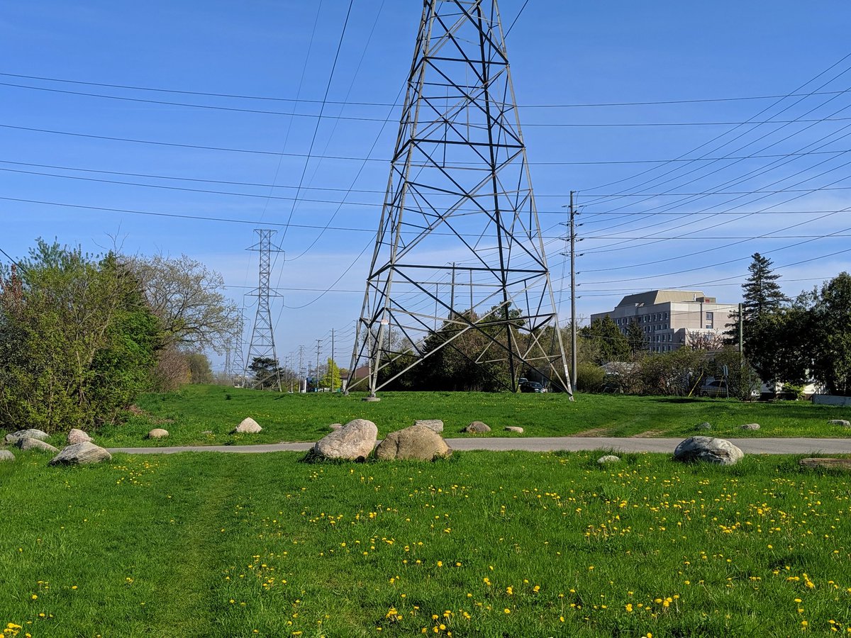
To continue south, I follow a nearby hydro corridor. The TRCA proposed this as a regional trail connection in their draft strategy, I urged them to use an alternate. The corridor links up with the Crosstown South corridor into Toronto, I’m back at Etobicoke Creek’s east bank.


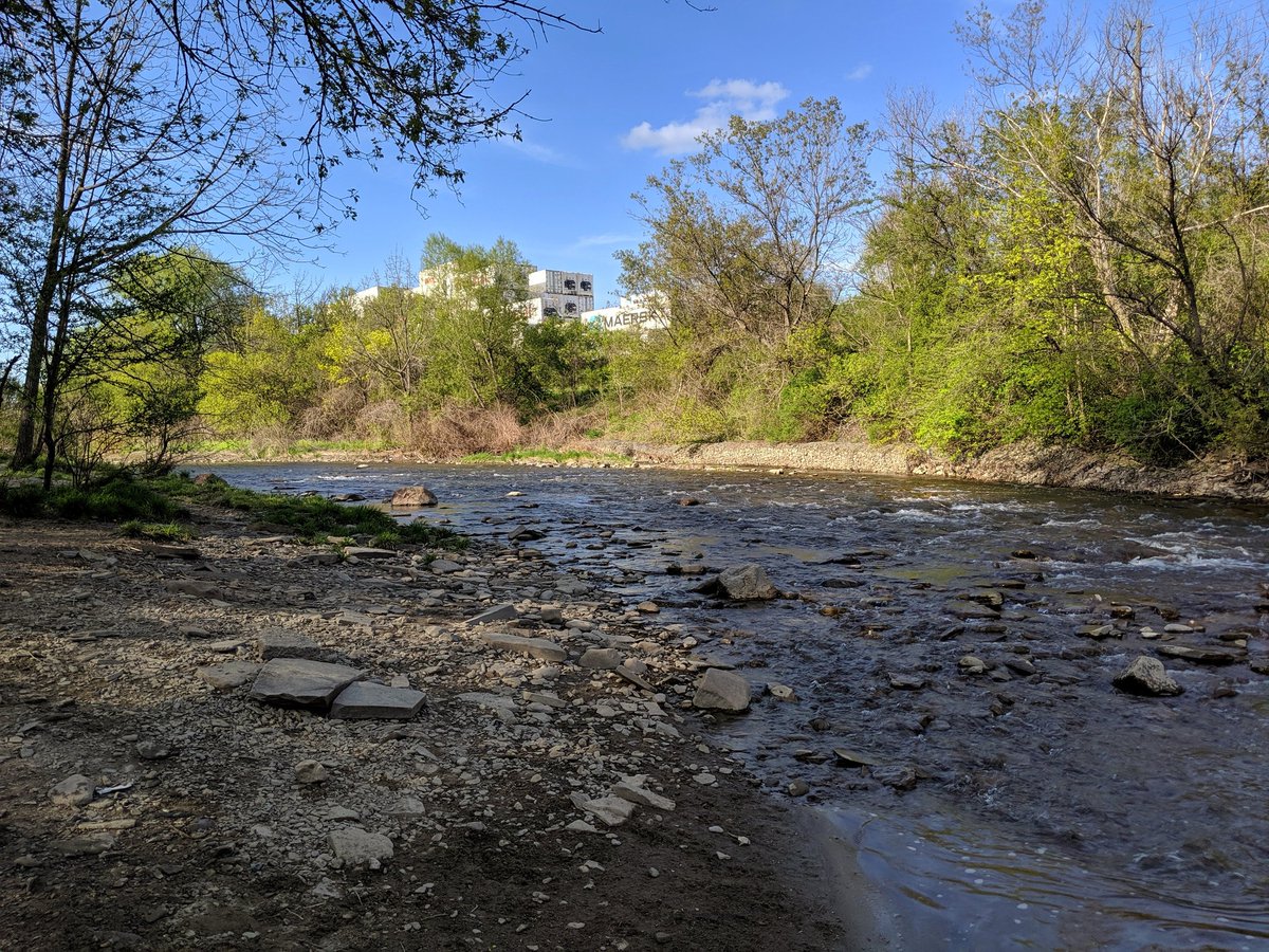
A dog park in a great location. Lots more shale with shipping containers on the table lands.


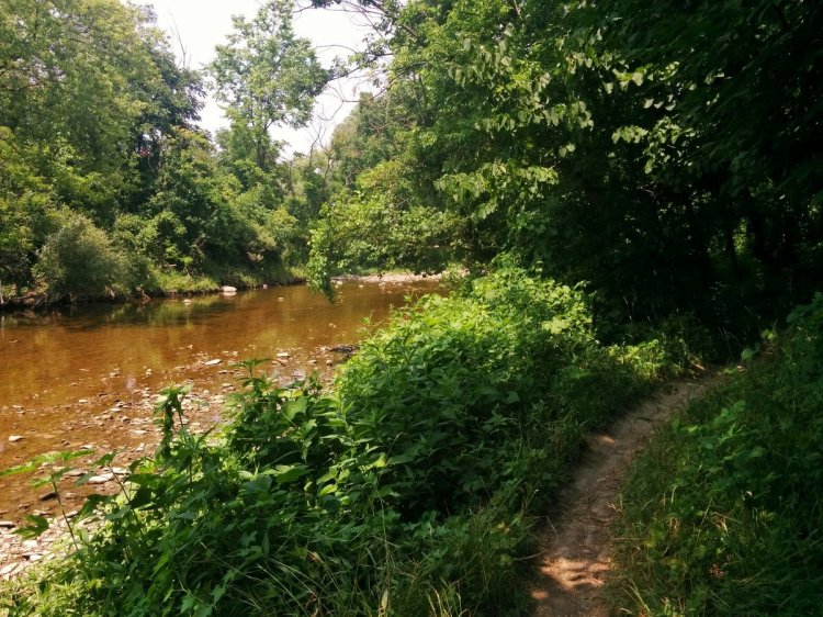
One last look at the creek before I cross back into Toronto, and catch the bus home.

Date: May 17, 2019
Length: 17.8 km
Type: Riverine

Related Walks
Etobicoke Creek and Tributary 4 upstream from hydro corridor
Etobicoke Creek II
Etobicoke Creek continued downstream
Etobicoke Creek I / Shoreline I