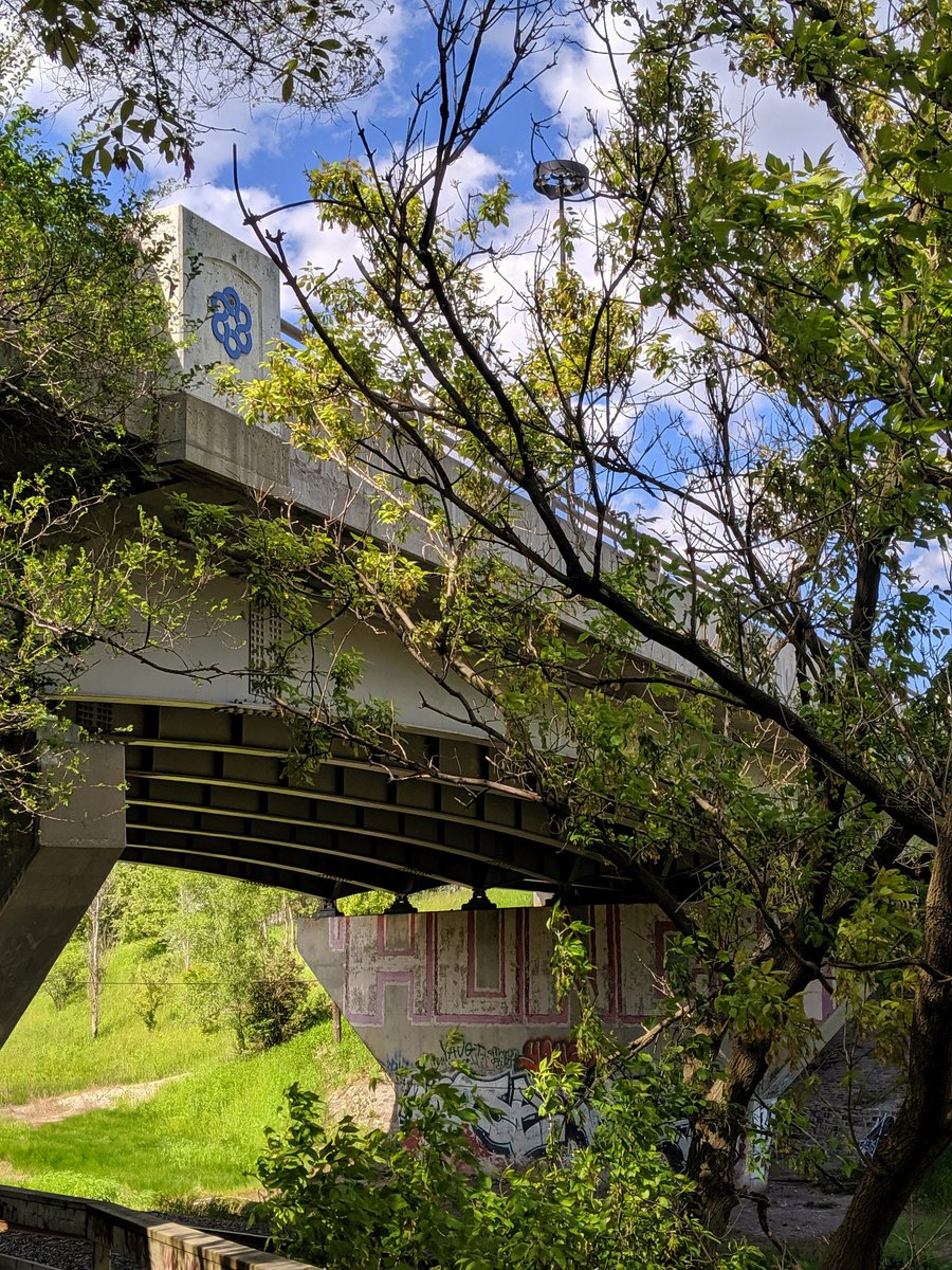
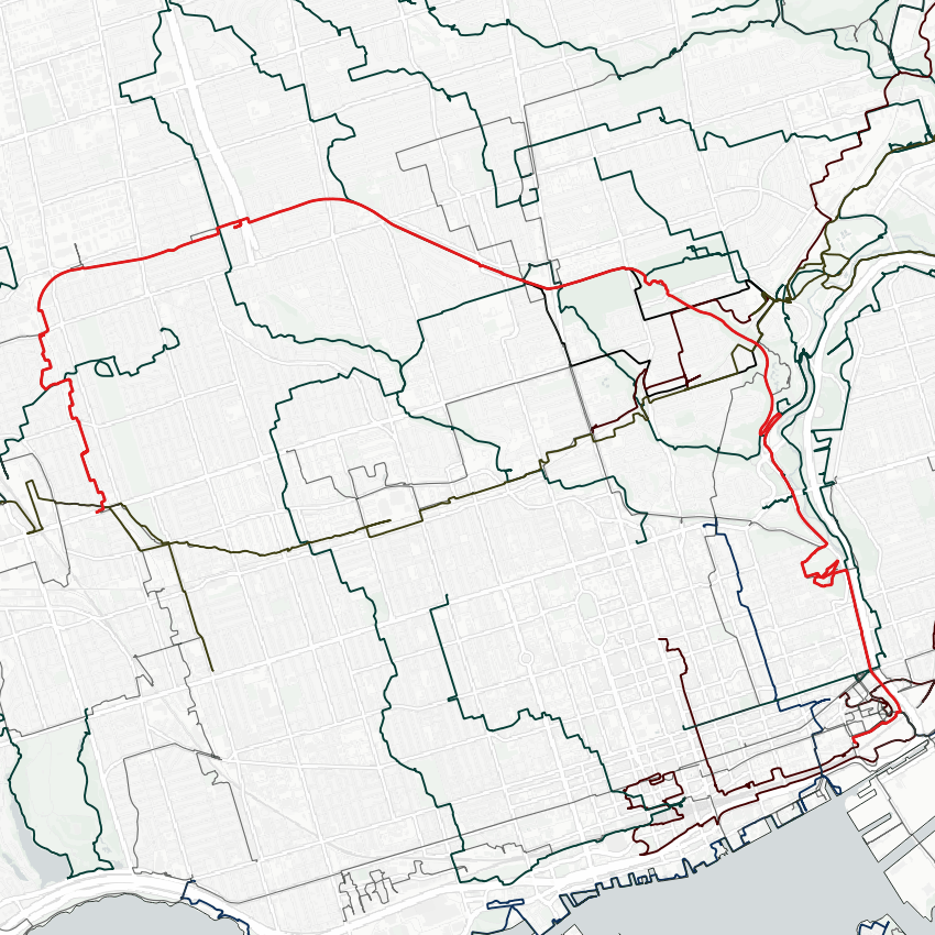
The weather has cleared up, so let’s go for a walk. I’ll be navigating the north half of the Beltline Trail. A former 1890s railway that went under after two years, it’s probably the best and most popular trail in Toronto that isn’t primarily in a ravine. Starting from St Clair, going north parallel to the GO Barrie Line. No trail yet, but a sweet pedestrian bridge.


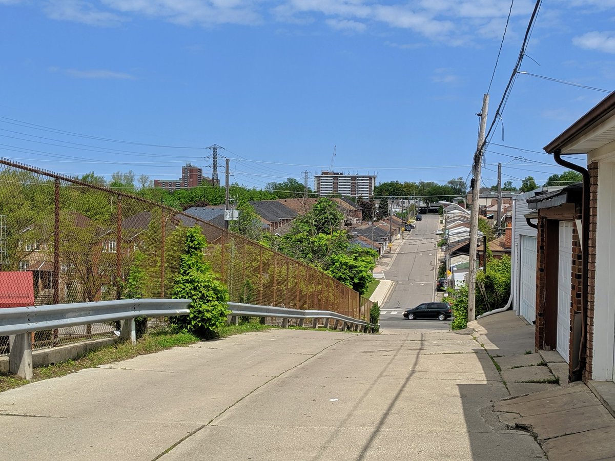
Fairbank neighbourhood is notable for its hilly nature. I believe it’s drumlins that caused it. Also led to the creation of Lavender Creek, which used to flow under the Beltline at one time. That said, still no trail, but lots of steps.
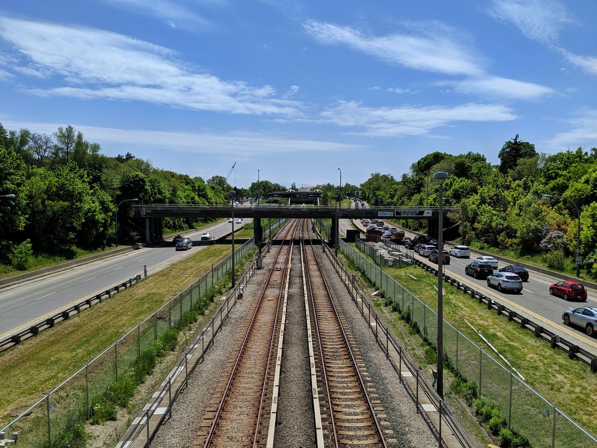
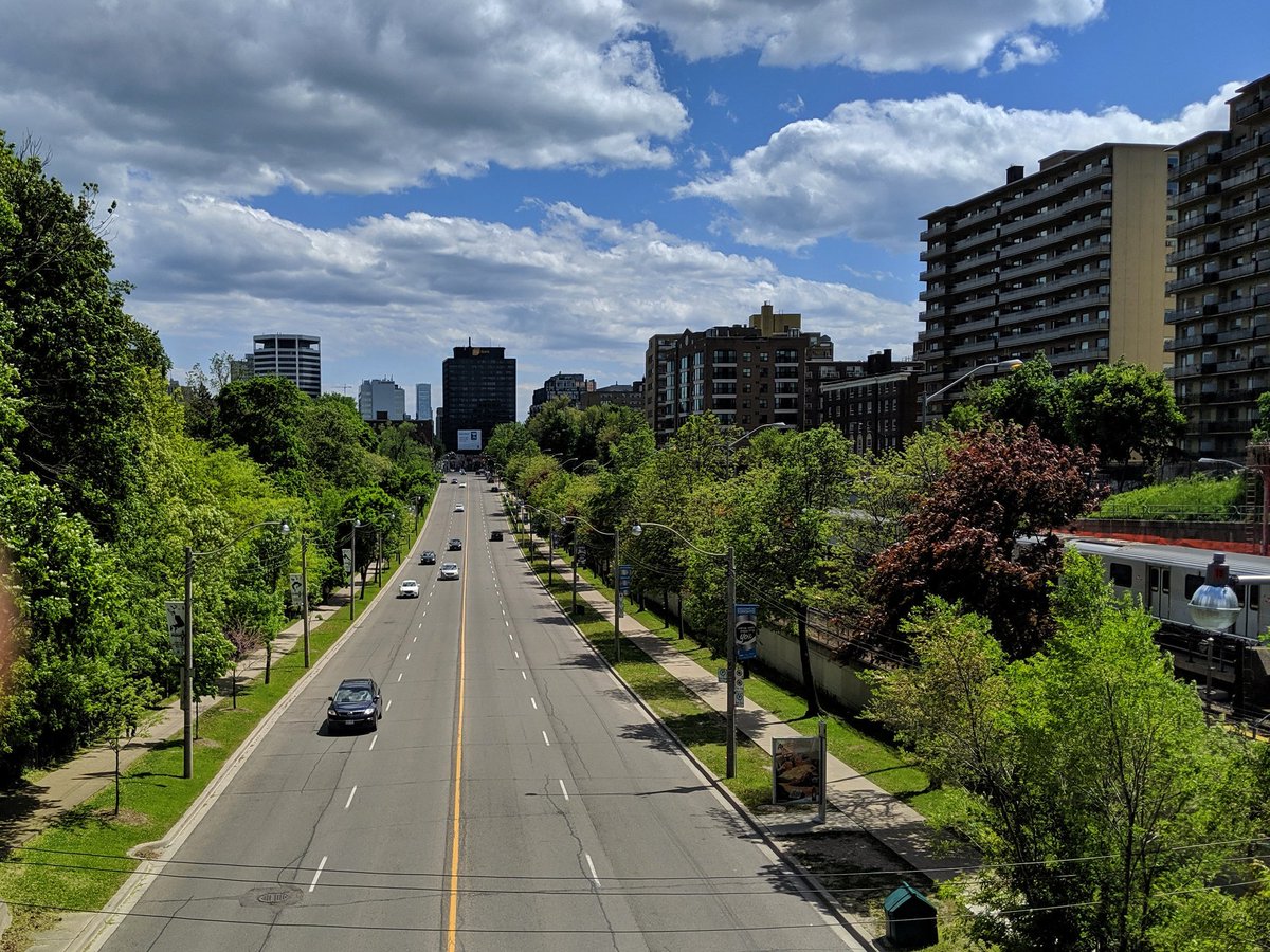
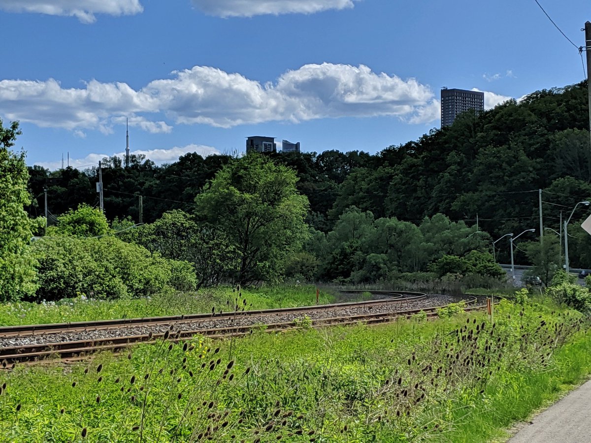
At Eglinton, a new hub station is being built between the Crosstown LRT and GO trains on the Barrie Line. Oddly enough, this will restore one of the stations of the Beltline Railway. And while trains continue north, this is where the old Beltline splits off and the trail begins.


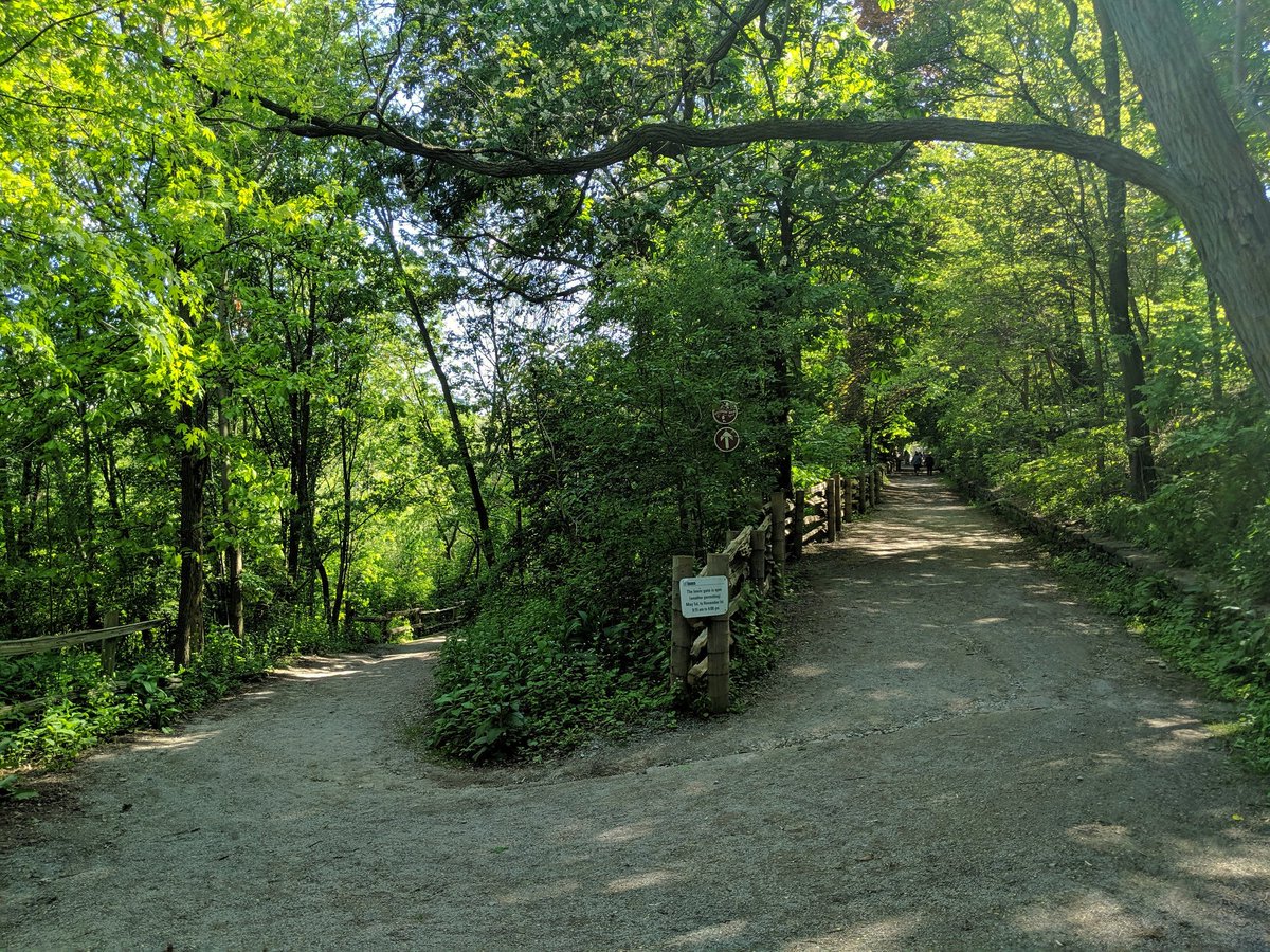
Rounding the bend of the “York Beltline Trail,” the part Beltline west of the Allen. Some improvements are visible, such as sitting areas (‘stations’) and accessible switchbacks. That’s easy though, proper grade-separated crossings are too complex/costly for the city to bother.


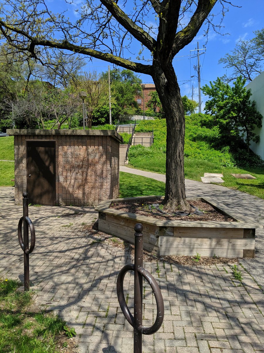
A key crossing retained. Trail enters a great neighbourhood park.


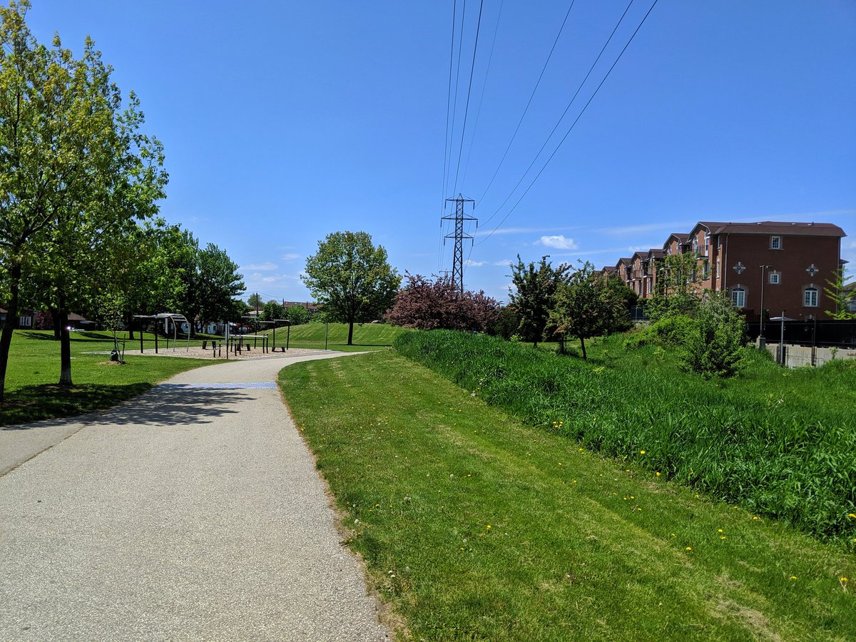
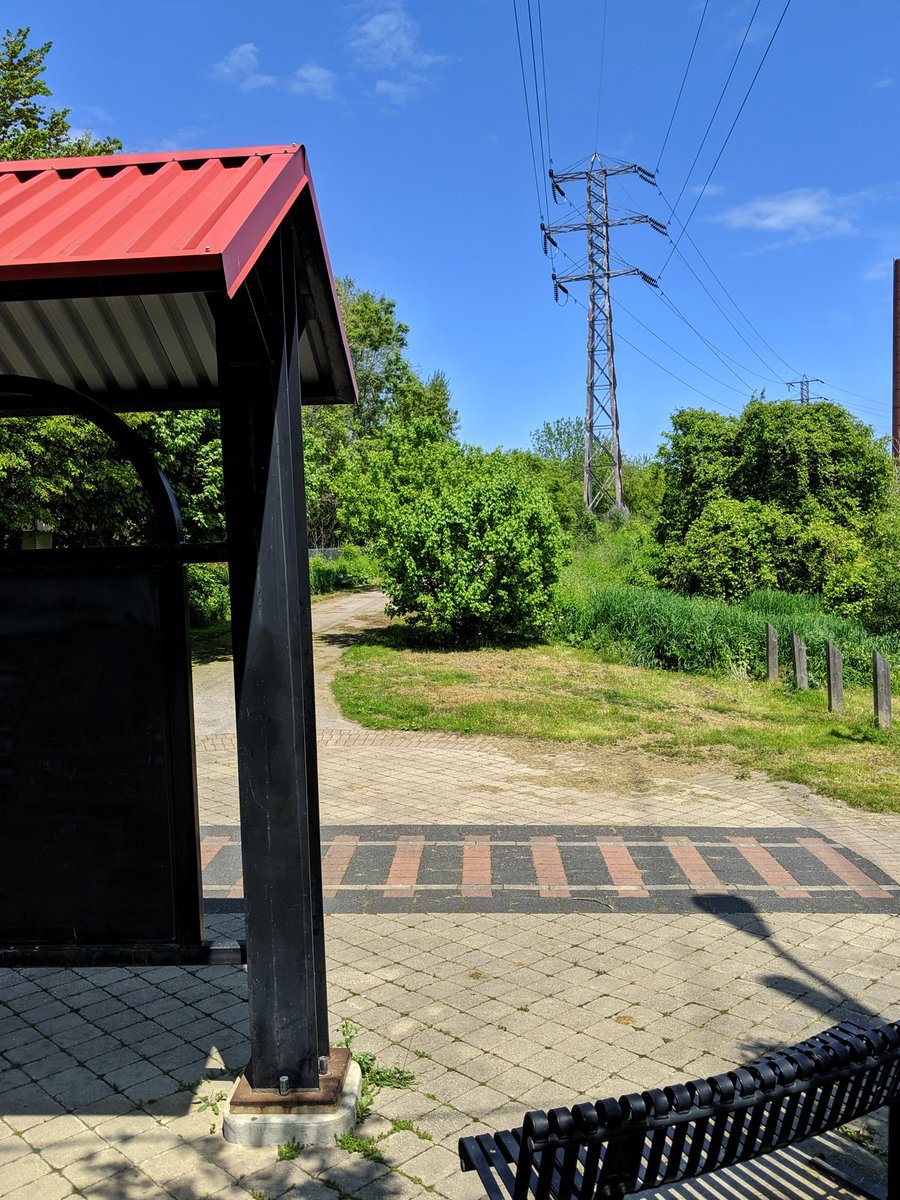
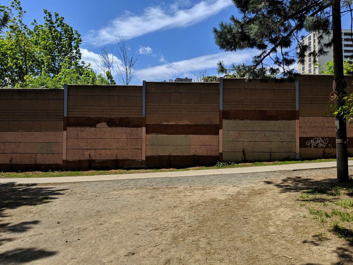
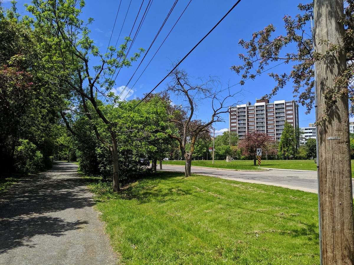
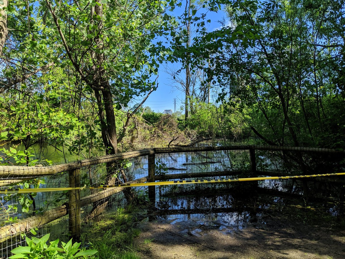
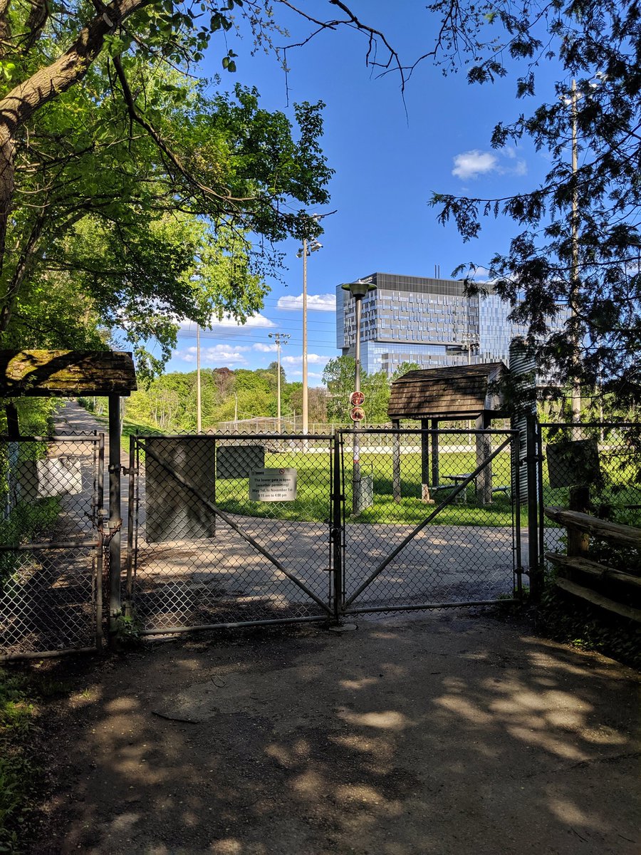
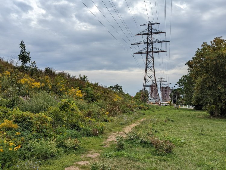
East of Walter Saunders Memorial Park, the hydro lines deke north to end at a local substation. This is where the York Beltline Trail used to end too prior to last year. Then a past wrong was finally rectified, with the trail being extended to Marlee Avenue. No further though.


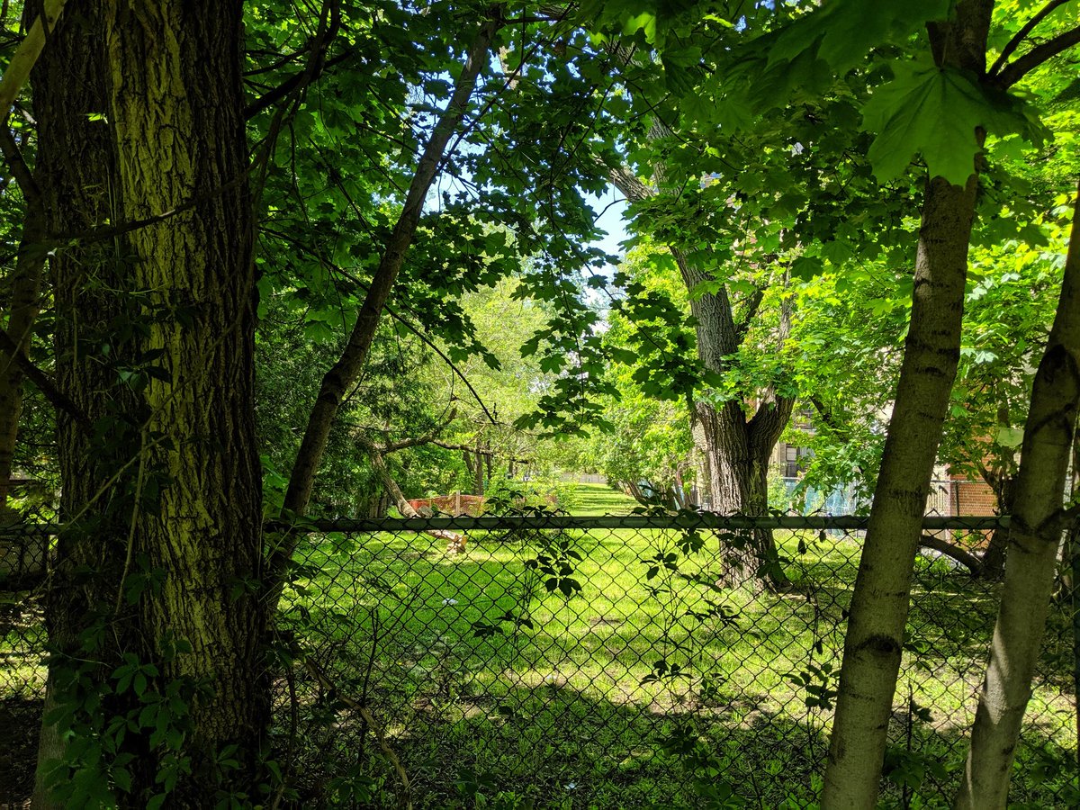
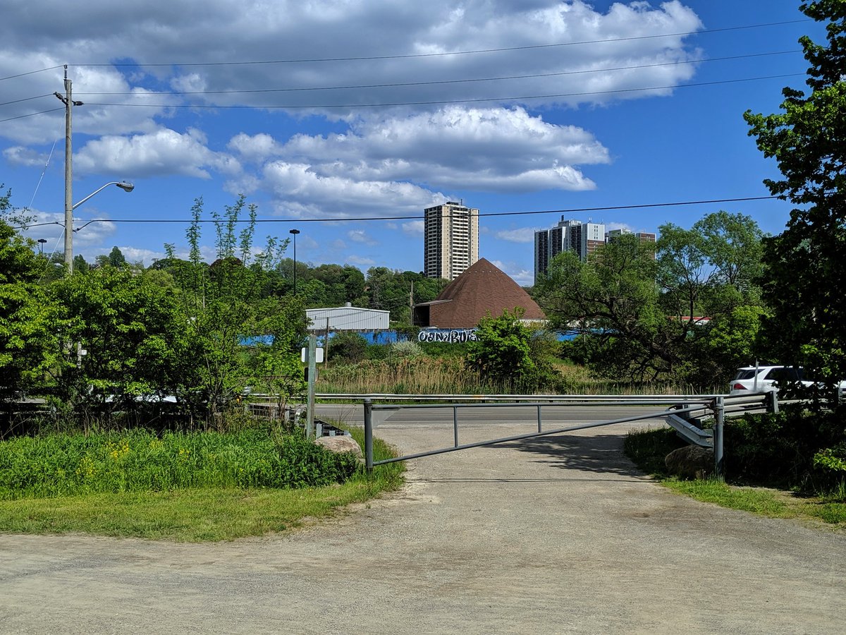
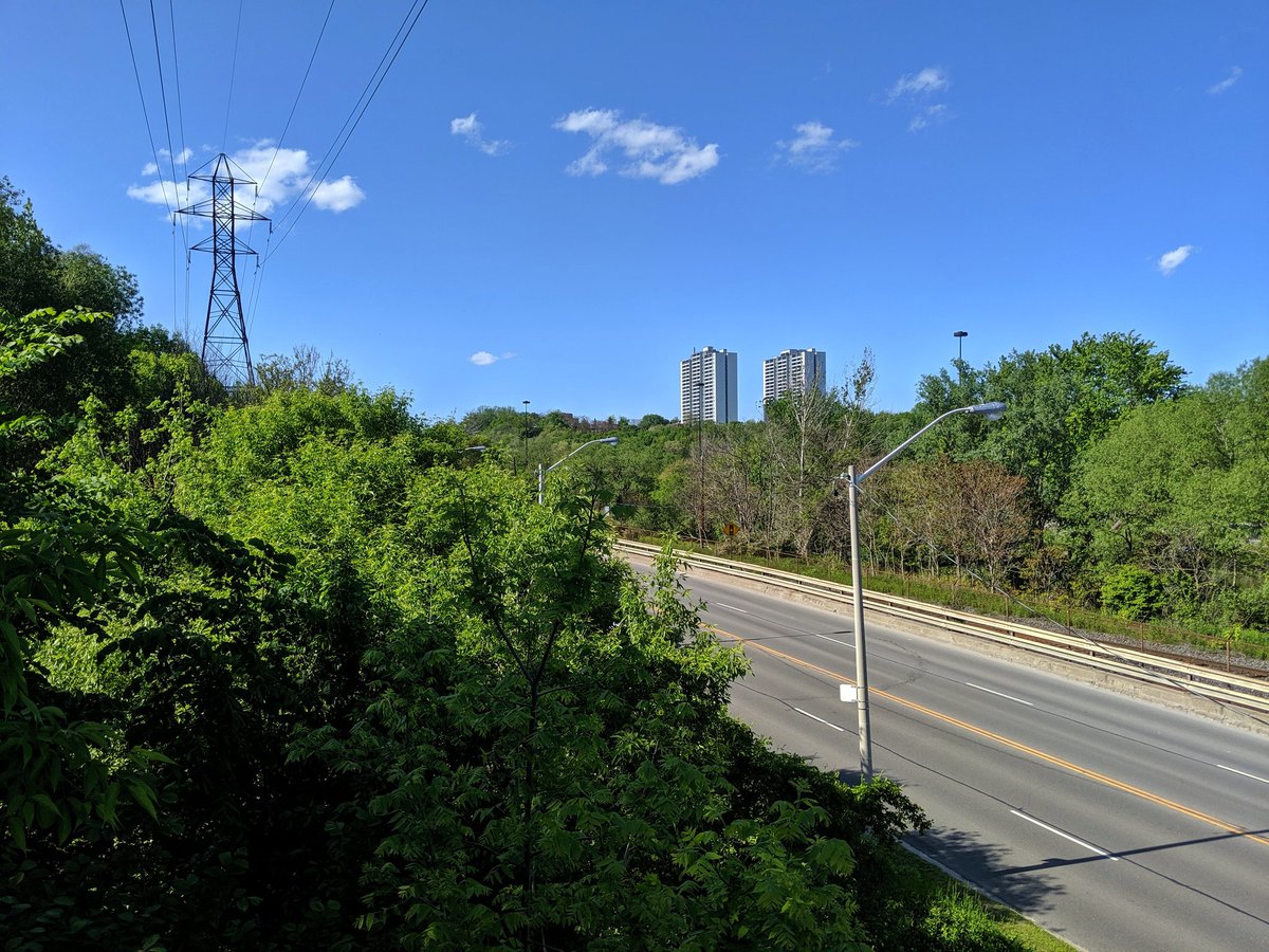
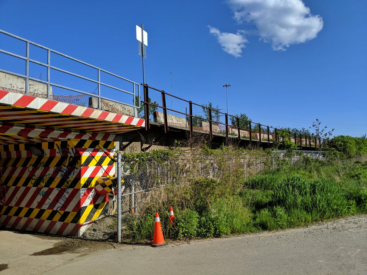
This has enraged me since I moved to Toronto. This high quality trail has a massive gap between Marlee and the east edge of the Allen. While the space of the former railway exists, part of it behind 4 apartment buildings is fenced off. Insufficient space on the bridge too.
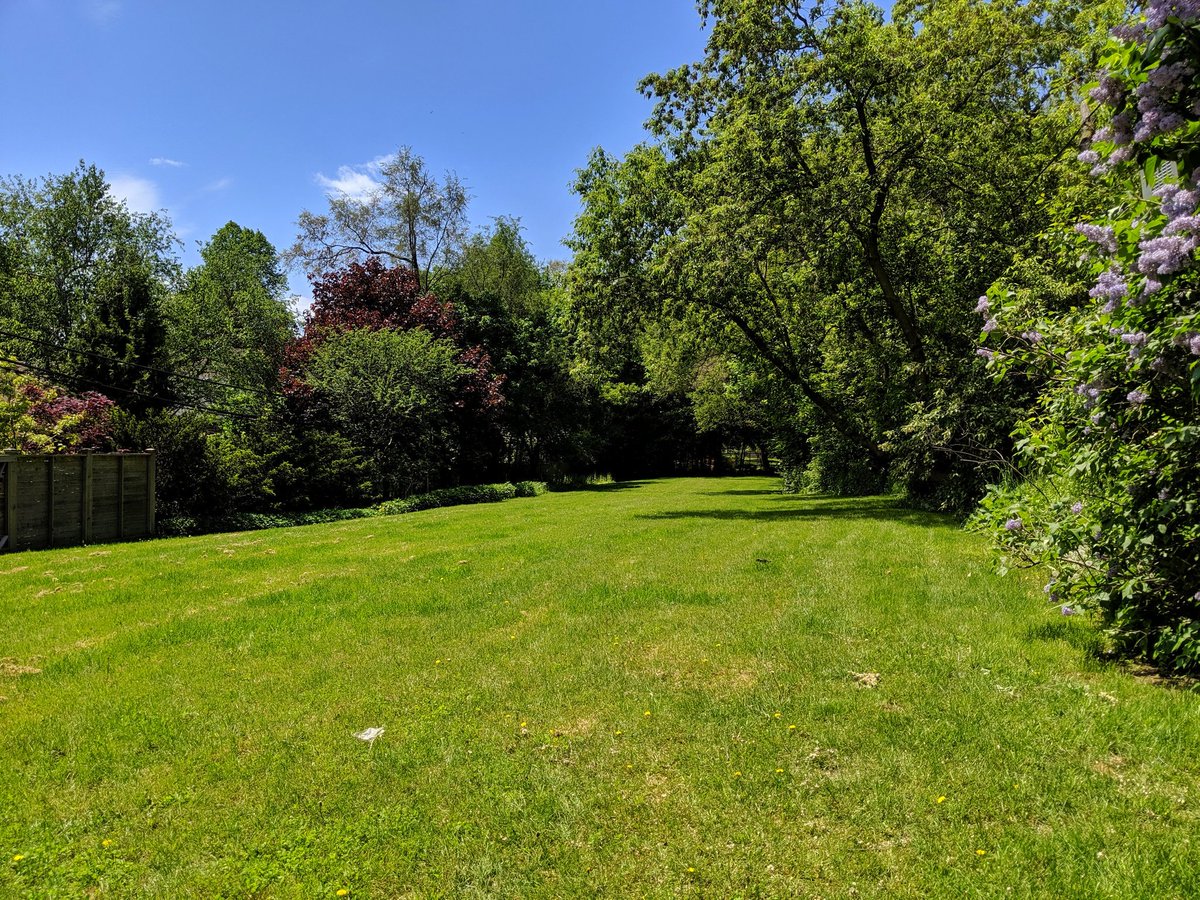
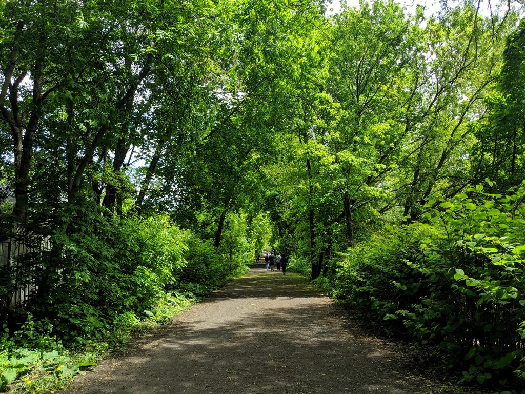
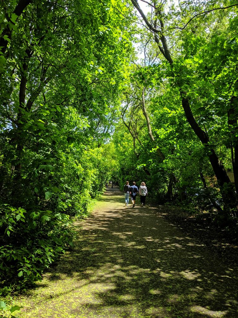
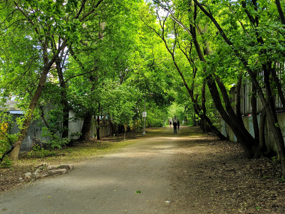
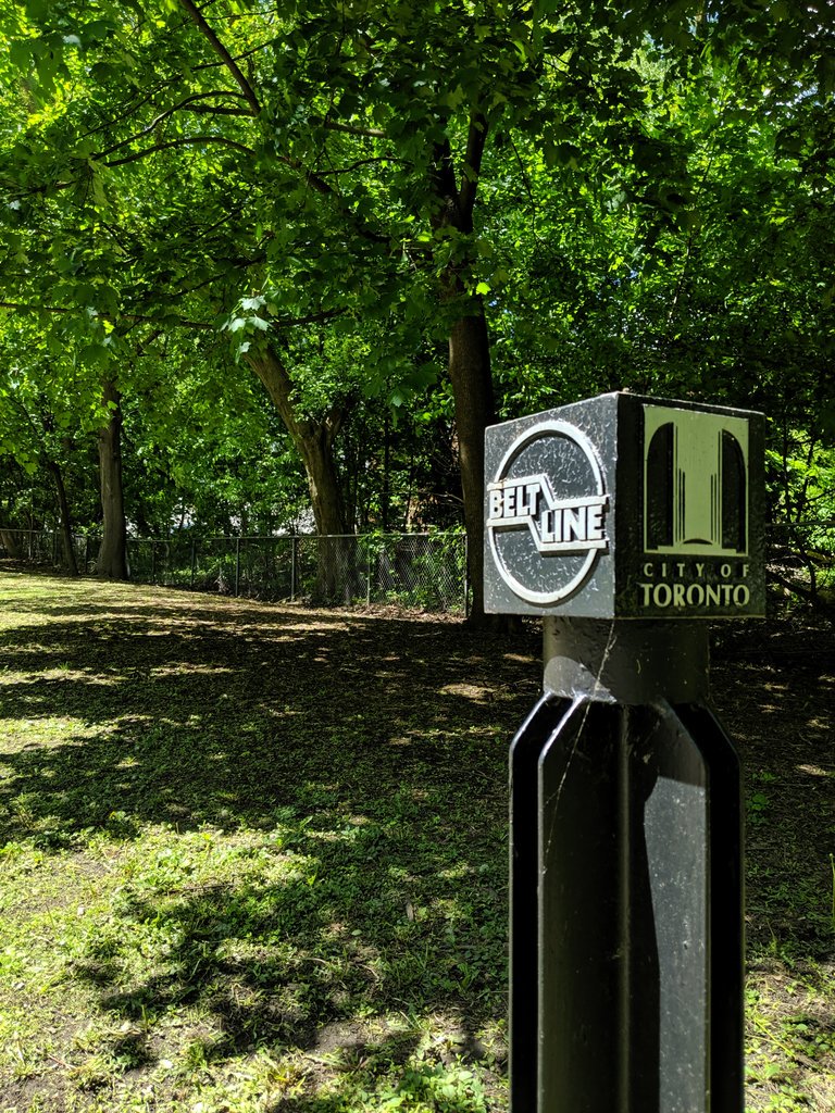
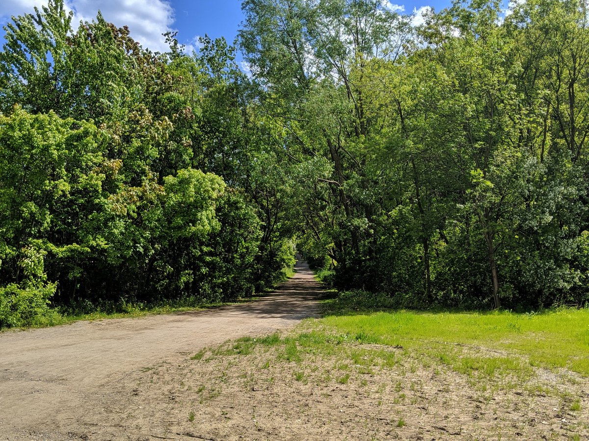
East of the Allen is the part called the “Kay Gardner Beltline Trail,” named for the driving force behind getting the city to buy it for parkland. A step above the York portion; lush with vegetation, and at least some island refuges where major roads are met.
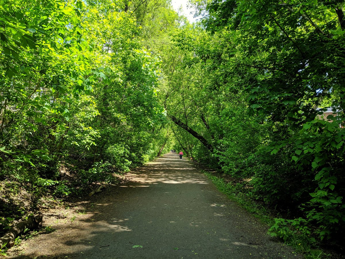

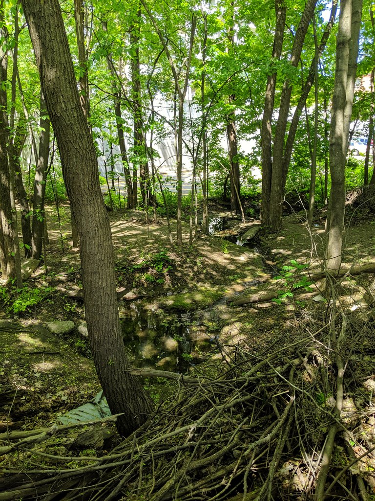
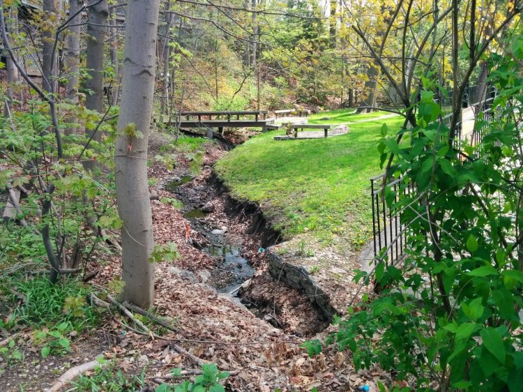
As the trail bends to the southeast, it meets one of Toronto’s lost rivers: Yellow Creek. Was buried by the railway, which is too bad. Trail is still thick with vegetation, and passes the backyards of Forest Hill’s grand homes. Heavily used for jogging / biking / hiking.


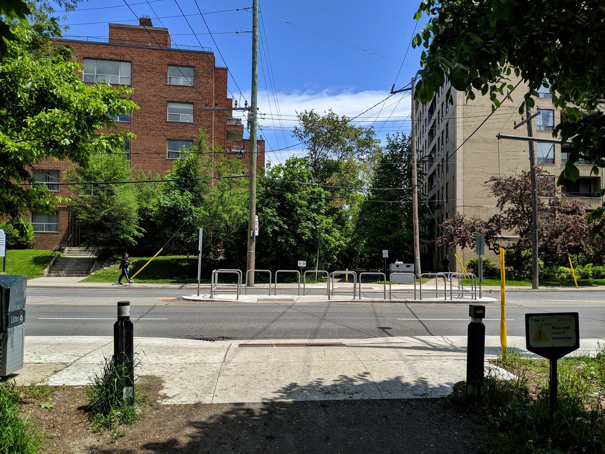
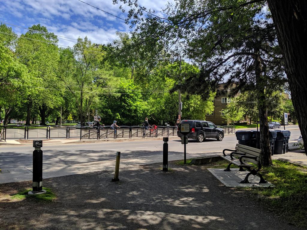
Trail. Signal. Trail. Island. It’s better than the unprotected state it used to be in, but it’s still a prime example of how this city settles for 4/5 stars all too often, all in the name of low taxes and disruption avoidance. Bold visions are not welcome here.

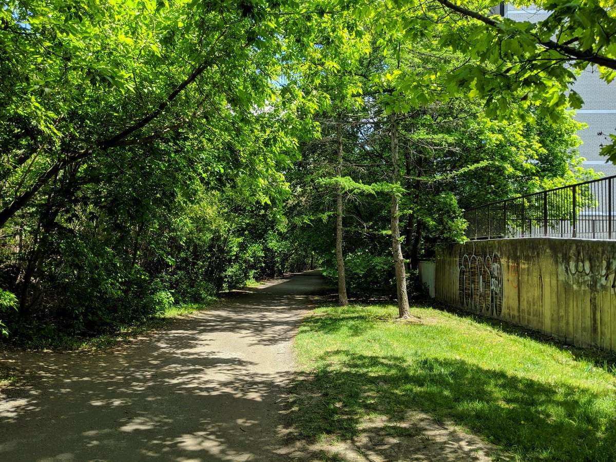
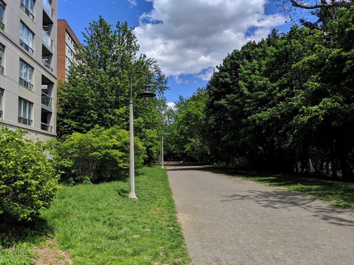
This is the segment I’m very familiar with, in the vicinity of Yonge. Well lit, used by local apartment dwellers at night to stretch the legs. Crosses Davisville Subway Yard, and Yellow Creek finally takes off to the southeast.

The trail parallels Mt Pleasant Cemetery before being cut into by it. Although access remains, it’s a wrong that will likely never be righted (in respect for the dead). Same goes for Mud Creek, which also parallels the existing and former Beltline from this point to the Don.

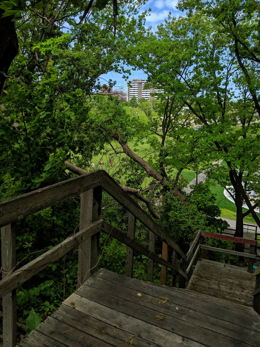
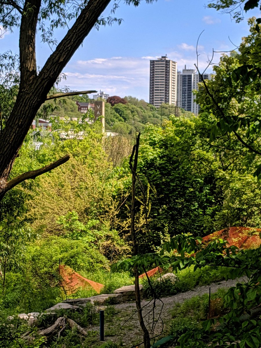
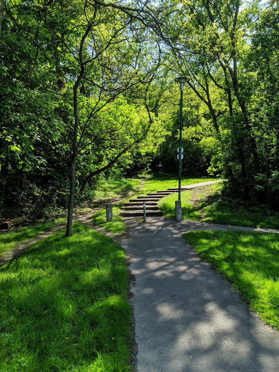
Through the rest of the cemetery, across a busy local road at-grade, and down a steep incline into the Mud Creek Ravine. At this point, I don’t know what you call this segment formally. Whatever it is, it changes from neighbourhood running track to Brickworks hiker access.


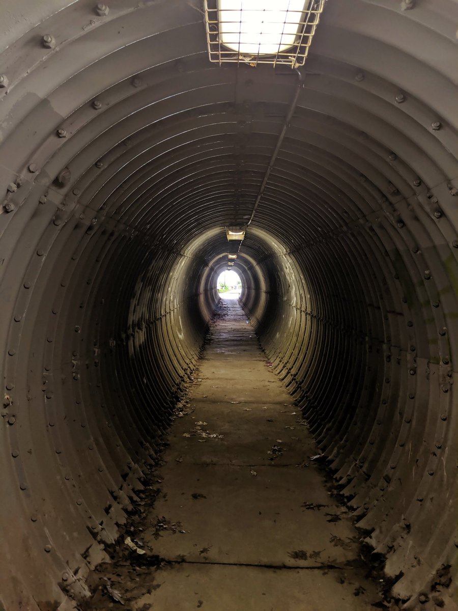
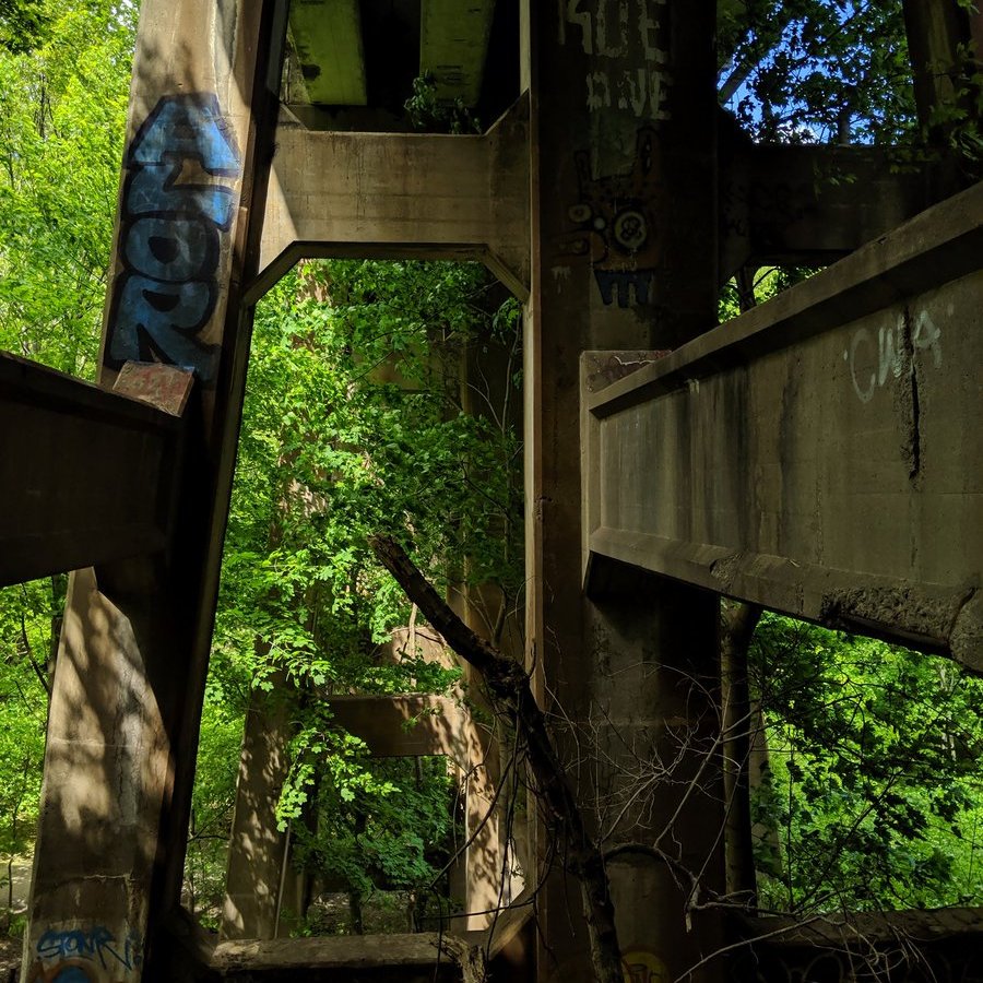
Crossings are a theme here. Multiple crossings of the creek below and other linear infrastructure above.


A beloved city institution on the left. An upscale neighbourhood on the right. And a pathway in-between that formed another chapter in the book of Toronto NIMBYism.

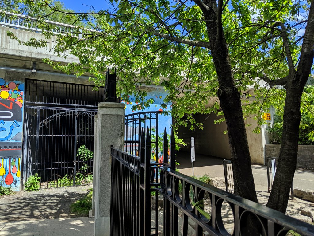
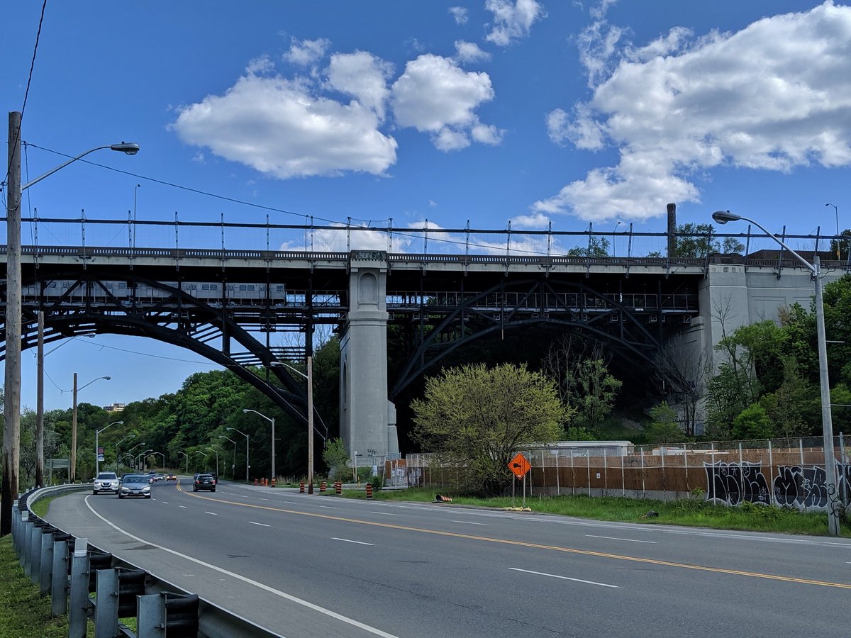
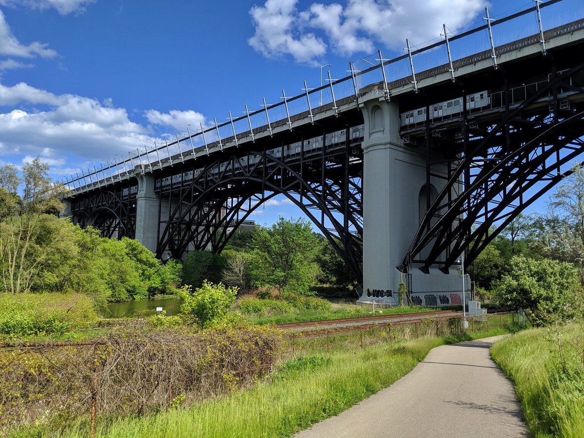
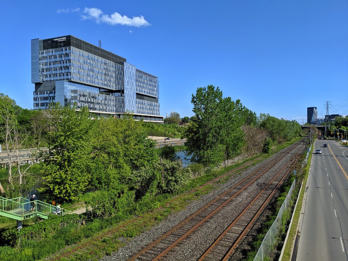
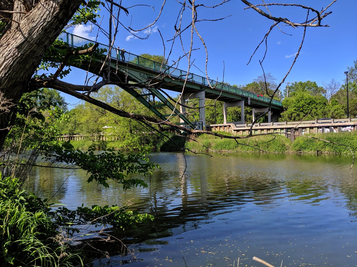
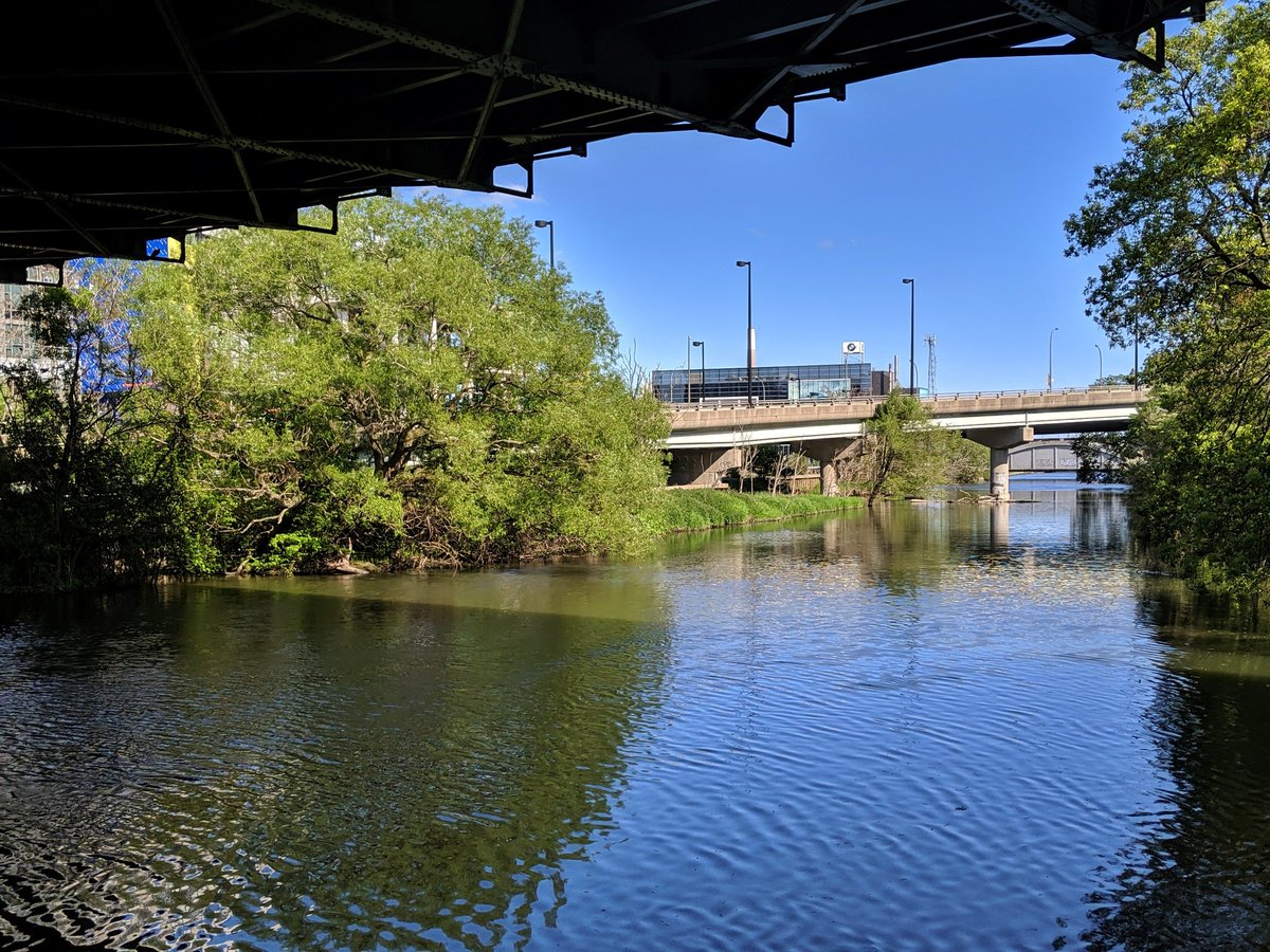
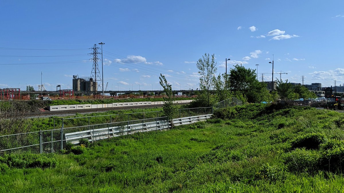
It’s at the Brickworks that the Beltline met with what is now the GO Transit Richmond Hill Line. Trails continue up the hill into Rosedale, or back northwest overtop Yellow Creek / beside the Castle Frank Brook diversion. I’m carrying on south with the Beltline in spirit.

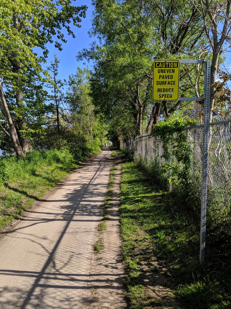
Following the rail line via the Bayview Extension Trail. The stupid speed limit debate here drowned out the fact that better trail infrastructure is needed to connect between the Brickworks, Lower Don Trail, Milkman’s Lane, Prince Edward Viaduct, and Rosedale Valley.
The trail ends at Rosedale Valley, forcing a detour up the hill, around the Necropolis, and through Riverdale Farm. At least I get to check out the east terminus of Winchester Street, tucked away at the back.
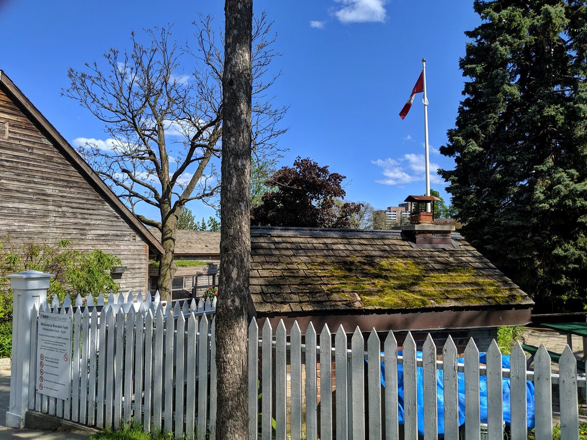

Lower farm is in rough shape. On top of that, the lower gate to the bridge over the Don Valley closes 1 hour before the farm. Don’t get me wrong, I love the farm, but this part (where the animals/buildings aren’t) is an affront to publicly accessible space.

Up. Down. Ramp. Steps. Lots of distance covered to get here.

So here we are, shoehorned between the DVP/Don River & Richmond Hill Line/Bayview Extension. Why does Bayview even exist between River Street and Lawren Harris Square, or the east Gardiner + DVP exist from the Bayview ramp and Jarvis? Maybe one day a better vision will be fulfilled.


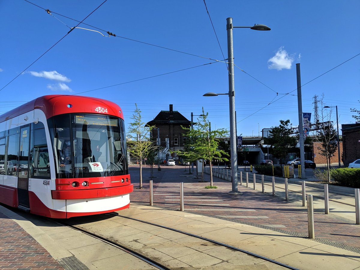
Under the Richmond Hill Line, and to Distillery Loop where an old switch cabin remains. Calling it a day here. I know I said “north half” of the Beltline, but pretty sure this qualifies as the northeast three quarters.

Date: June 2, 2019
Length: 20.0 km
Type: Railway/ Highway
Related Walks

Hydro corridor continued to the southwest
Crosstown Southwest
Hydro corridor continued to the east
Midtown / Oakridge Hydro
Yellow Creek continued upstream
Yellow Creek I
Yellow Creek continued downstream
Yellow Creek II

Rail line over the Beltline
CP Midtown
Rail line continued east
Kingston Sub


