Good morning. I’ll be following part of the Toronto shoreline that is south of the former borough of East York, between the RC Harris Treatment Plant and Ashbridges Bay, then following Lake Shore Boulevard into downtown. Let’s go.
For all the times I’ve been to RC Harris, this is the first time I’ve been around the east side of it. View does not disappoint. The fact that there’s no formal trail to head east from here is disappointing.


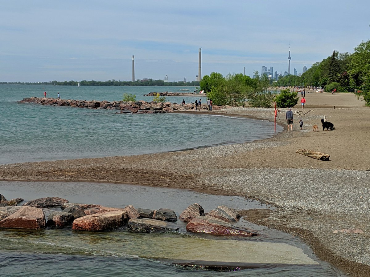
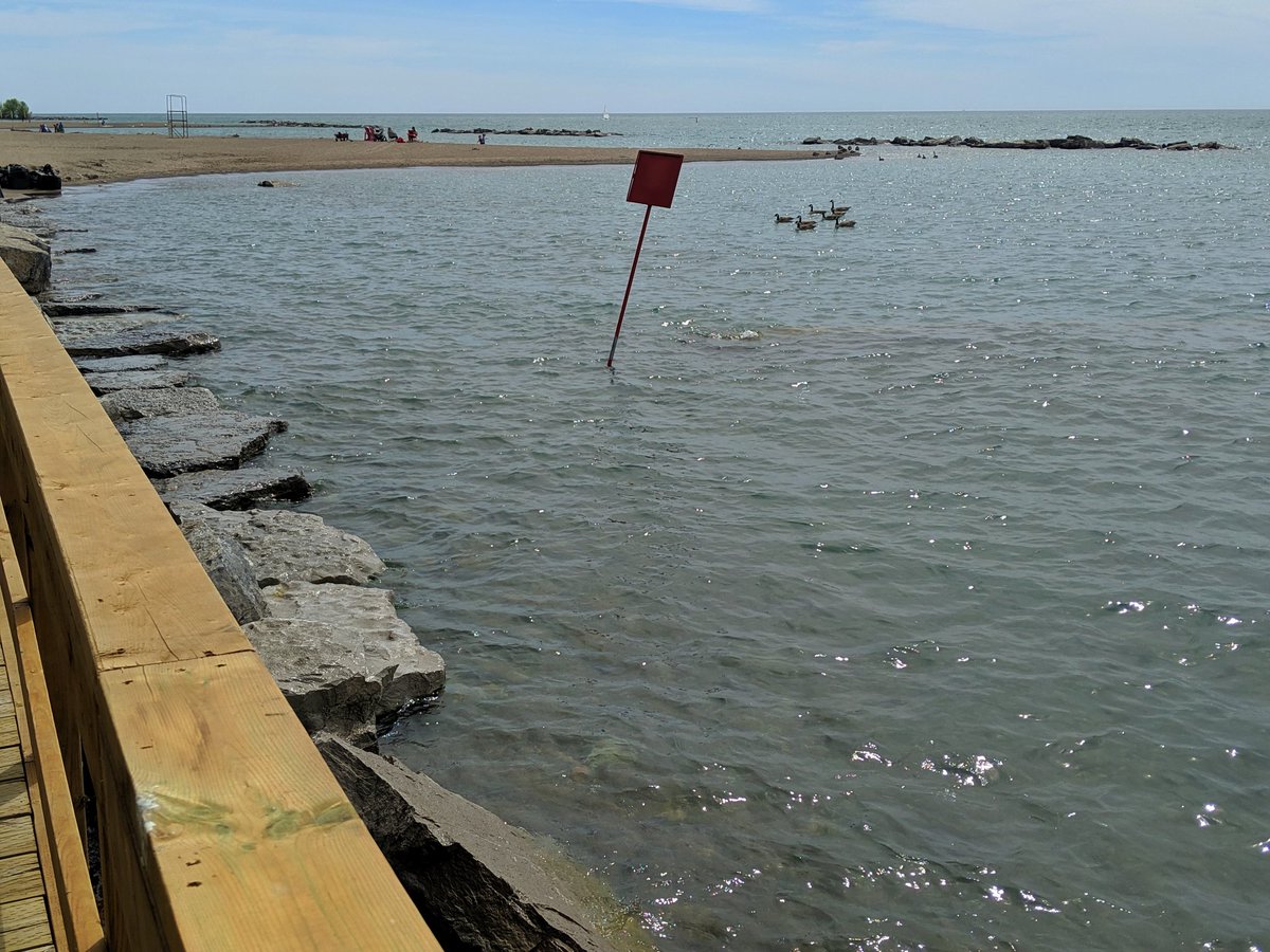
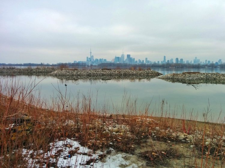
The Toronto shoreline is publicly accessible from the water treatment plant to the wastewater treatment plant. There’s even a tiny spit before the big beach(es). I’m surprised it’s survived the record high lake levels.


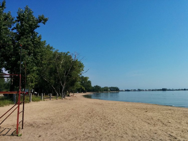
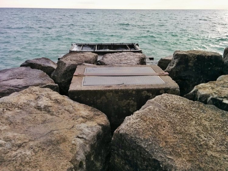
Just sandy beach for the first stretch of beach. Then a formal trail and boardwalk begin, and the impacts of the high lake pop up. Sandbags to protect the shore. Groynes underwater.


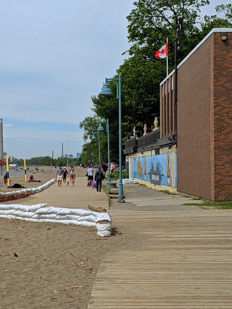

The boardwalk is fortunately free from harm. Same can’t be said for the beach itself, probably some of the sand has been carried away. Dog park is inundated too.
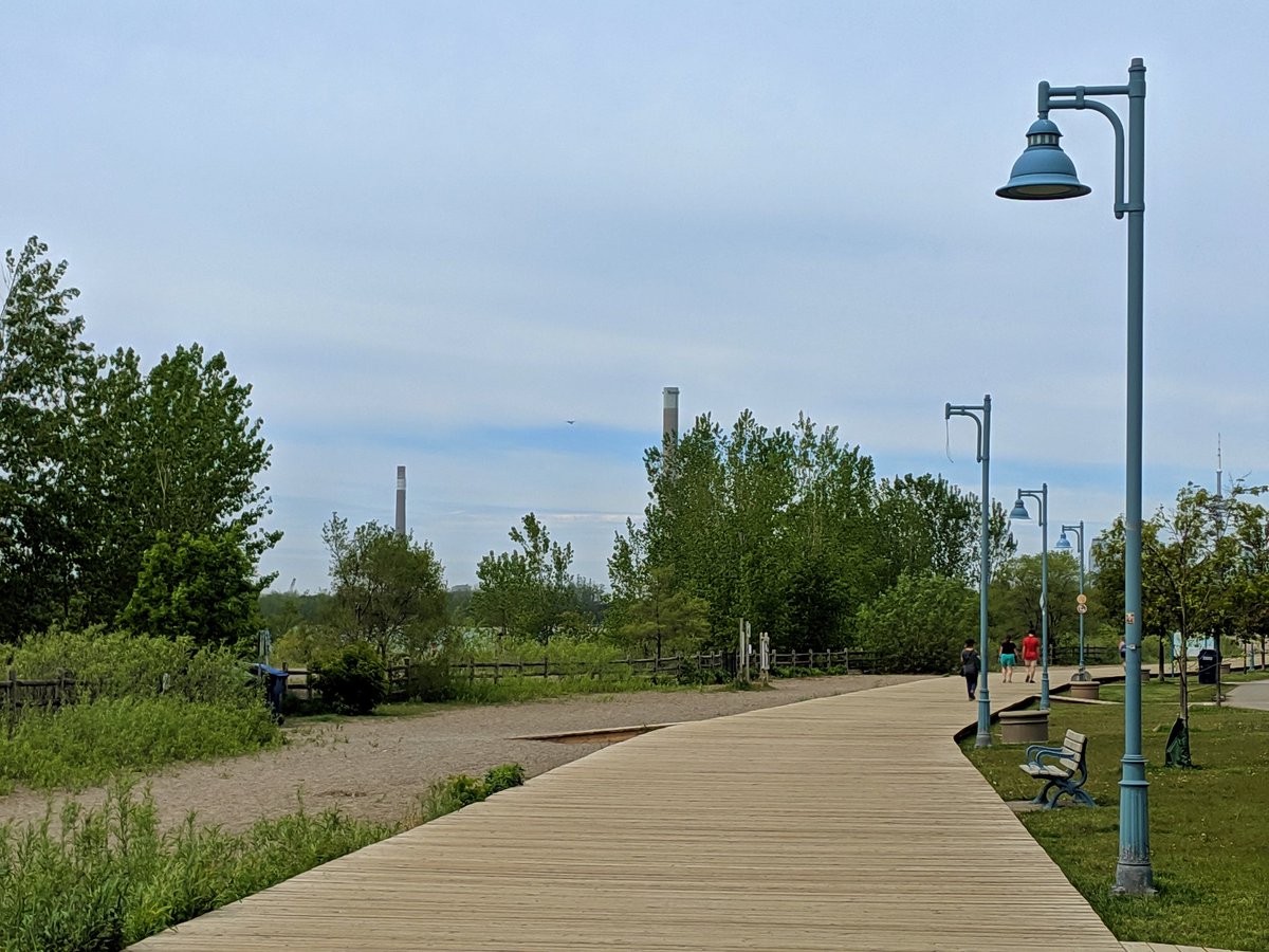

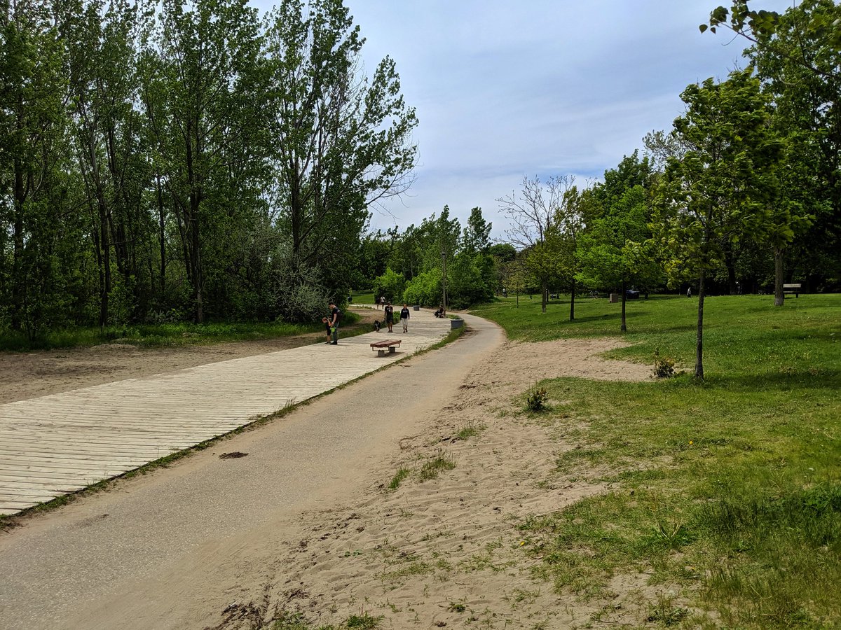
“Eventually, the beach widens out” is what I would say under normal circumstances. As you approach Ashbridges Bay, it does become more vegetated.

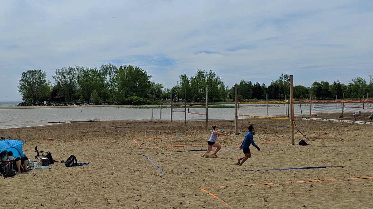

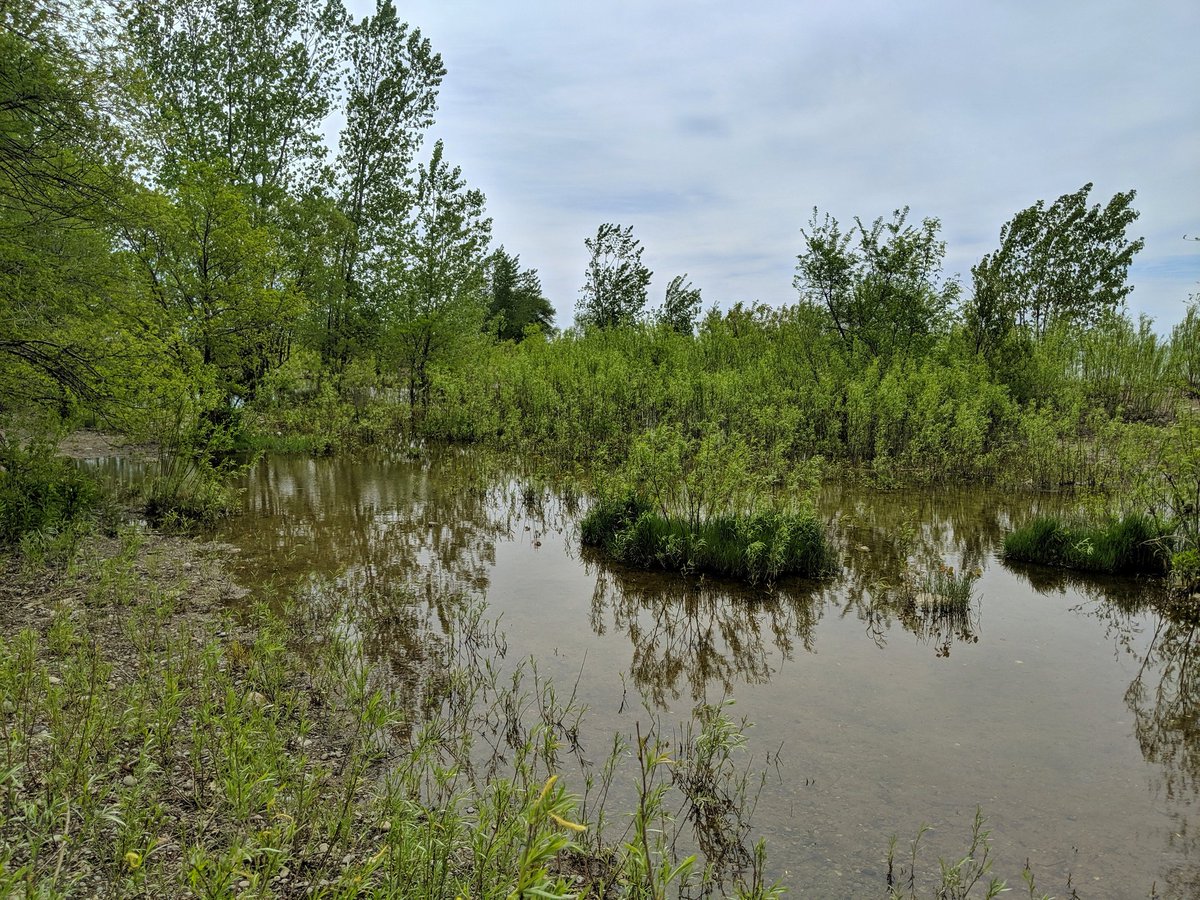
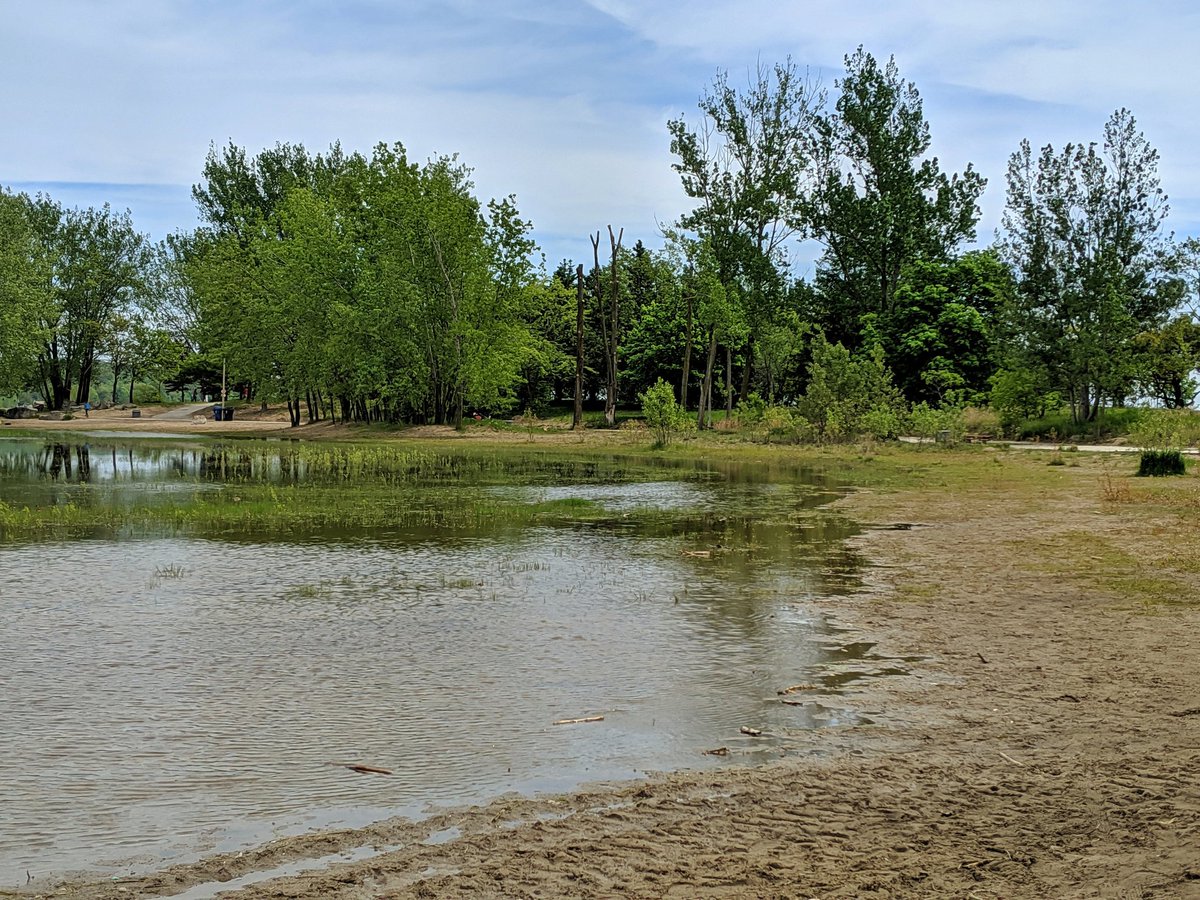
The inundation of Woodbine Beach has forced a volleyball tournament in and east. The plants that have taken root in the sand seem to be thriving, making the west end of the pool look more like a wetland.


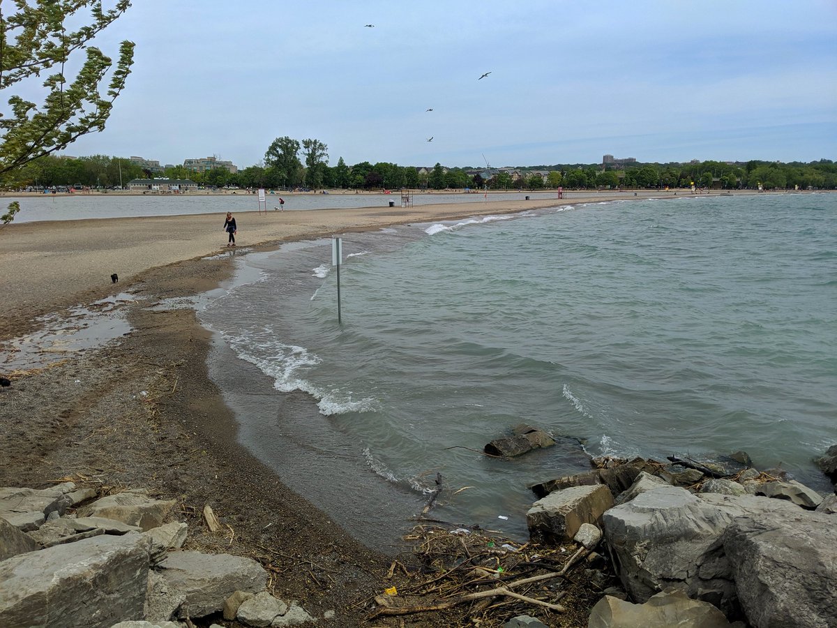
Erosion on the south edge. It’s like Hanlan’s Point all over again.


Round the tip. Boardwalks on the north shore aren’t as lucky, sitting underwater.


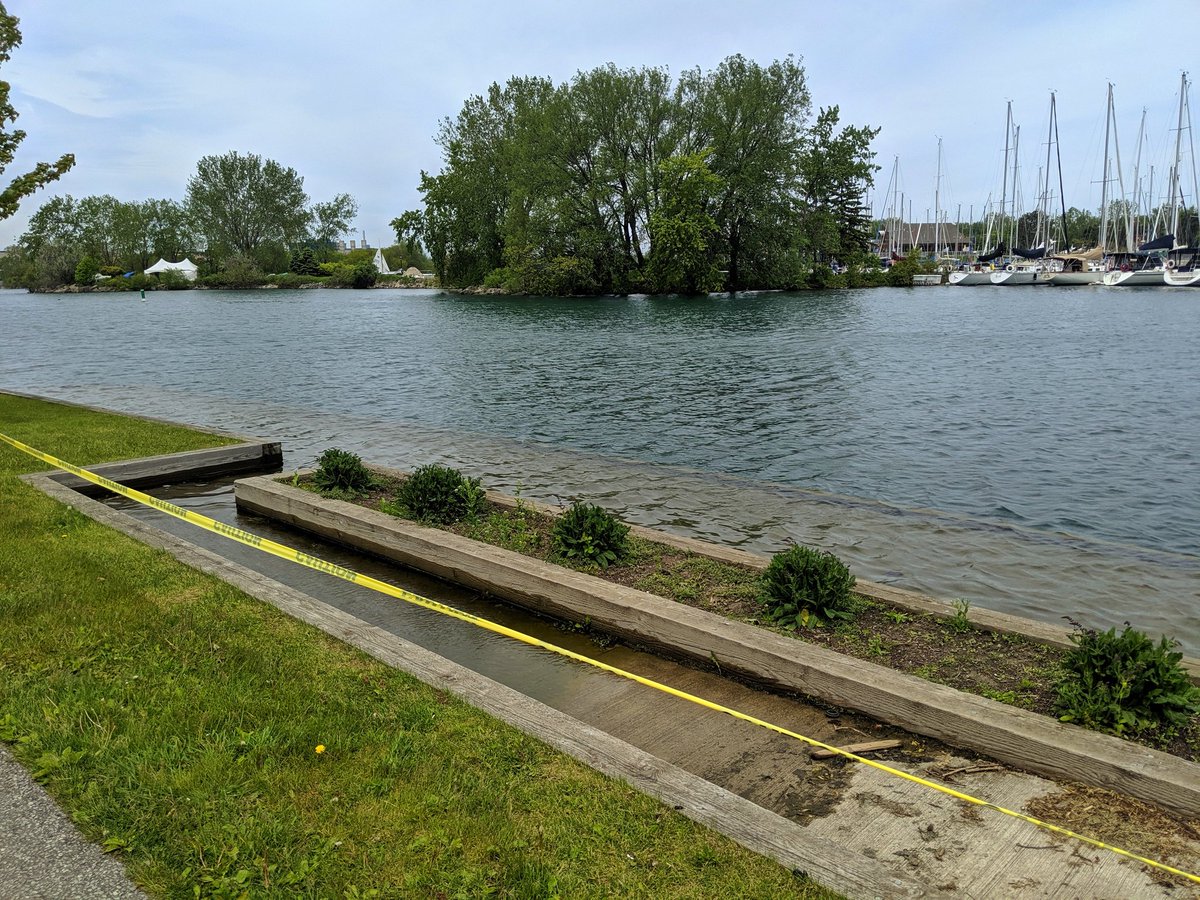
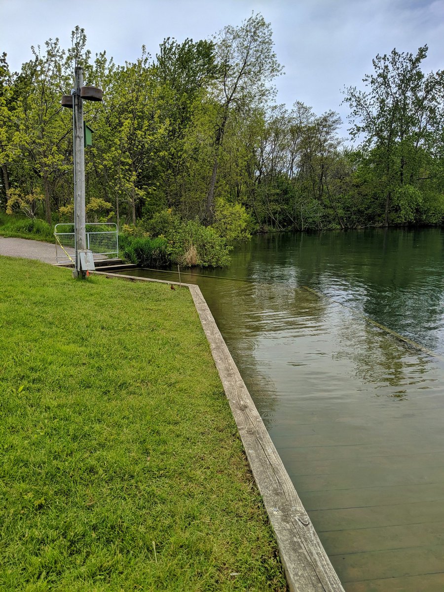
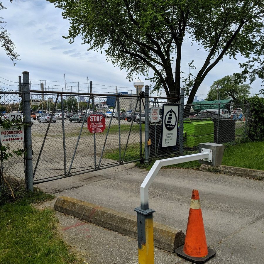
Boat ramps are public access when they’re not underwater. Boat clubs are not public access. Some tkaronto action before exiting the park.


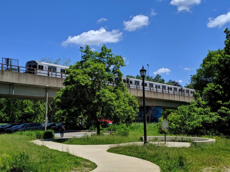
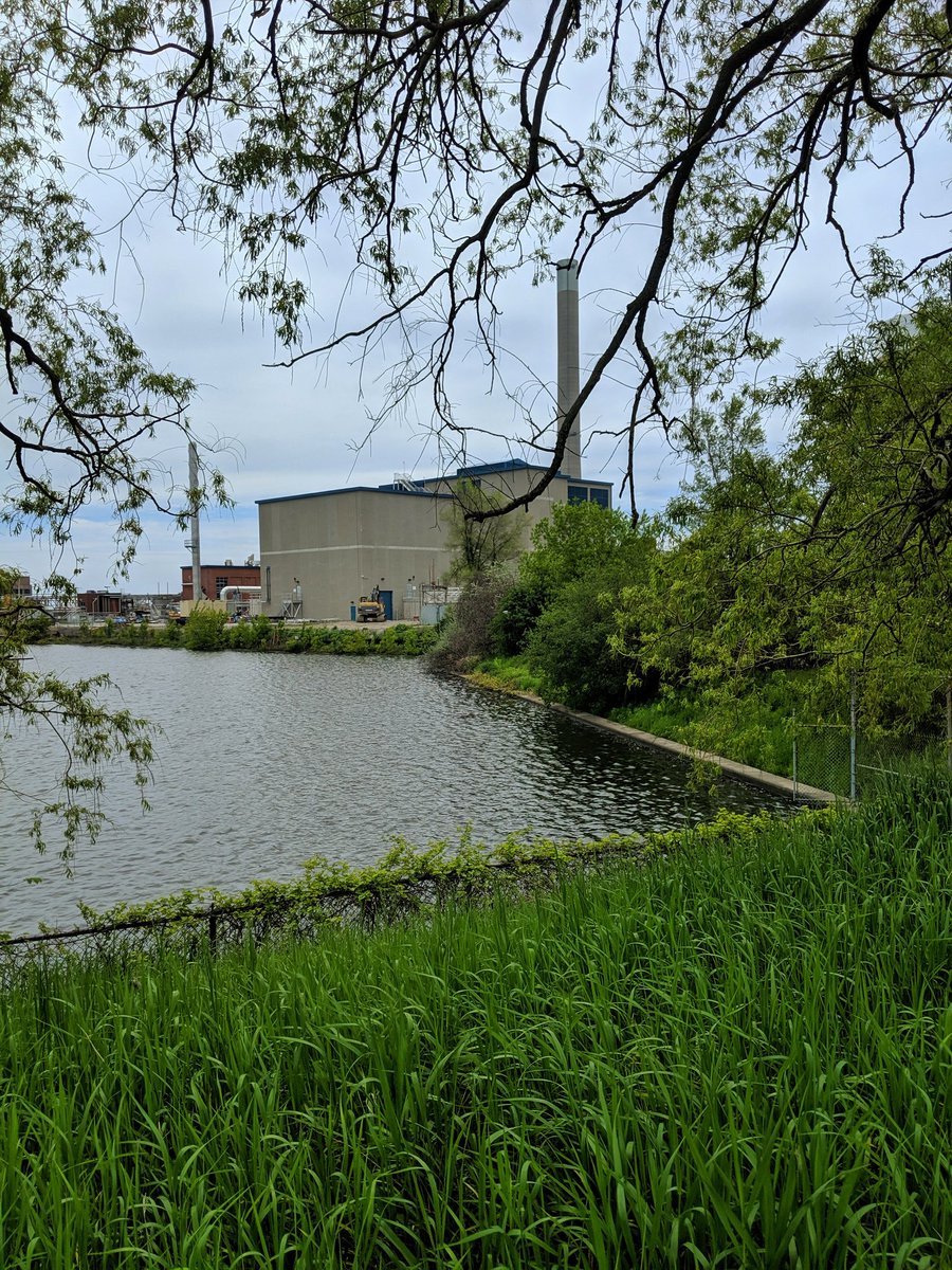
Lake Shore Boulevard is only partially true here. It’s a boulevard, but is no longer at the lake shore. Creation of the Leslie Spit and the Port Lands has made a new land base, home to the Ashbridges Bay plant and the Leslie Barns.

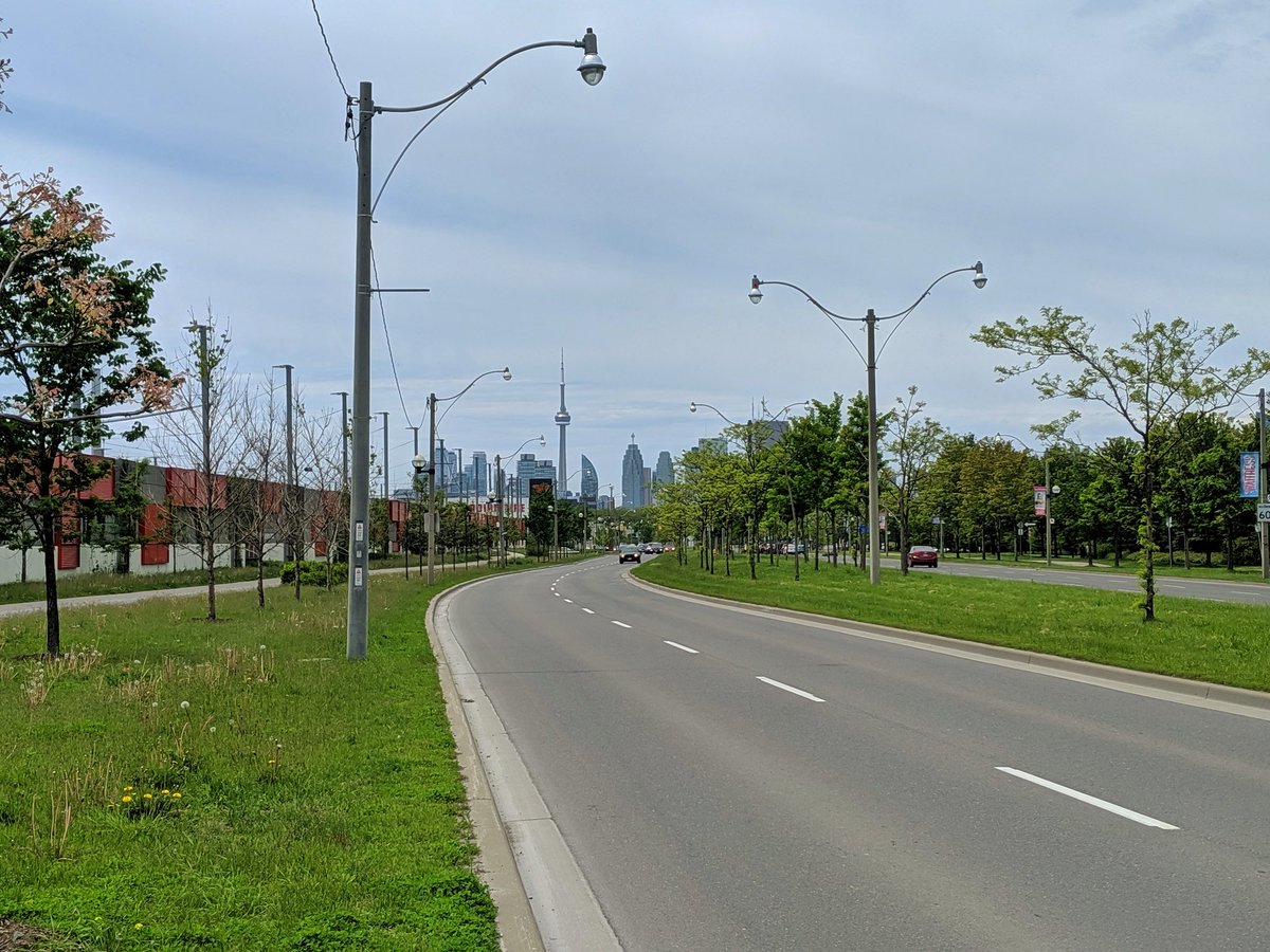

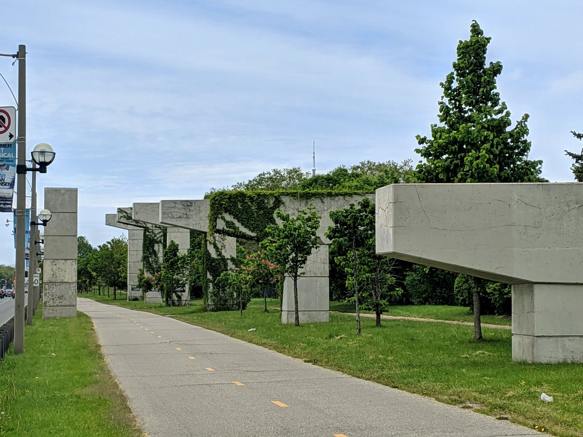
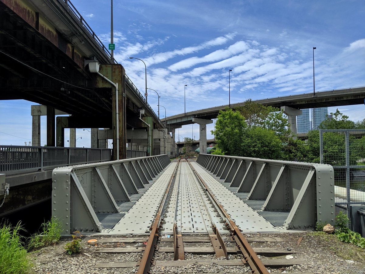
Former East Gardiner, now a boulevard with a cycle track. Still an industrial looking corridor with leftover bents and a rail spur into the Port Lands.


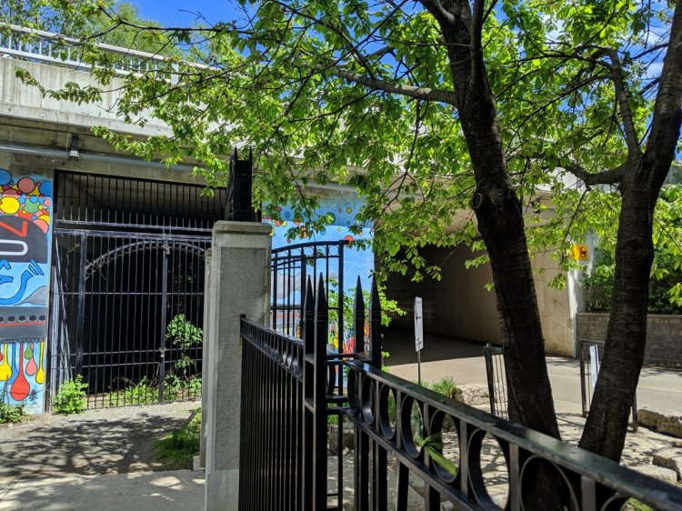
Towards downtown, through an infrastructure junction.


Date: June 9, 2019
Length: 11.4 km
Type: Shoreline

Related Walks
Peninsula park to the west
Leslie Spit
Harbour shoreline continued to the west
Leslie Headland
Small lost creeks to the north
Beaches Creeks
Lower Bluffs to the east
Lower West Bluffs and Ravines


Upper Bluffs to the east
West Bluffs