Today I’ll be following a series of small and mostly lost creeks in Toronto’s Beaches area. The first is Smalls Creek. It starts in Merrill Bridge Road Park north of the tracks, through private backyards.

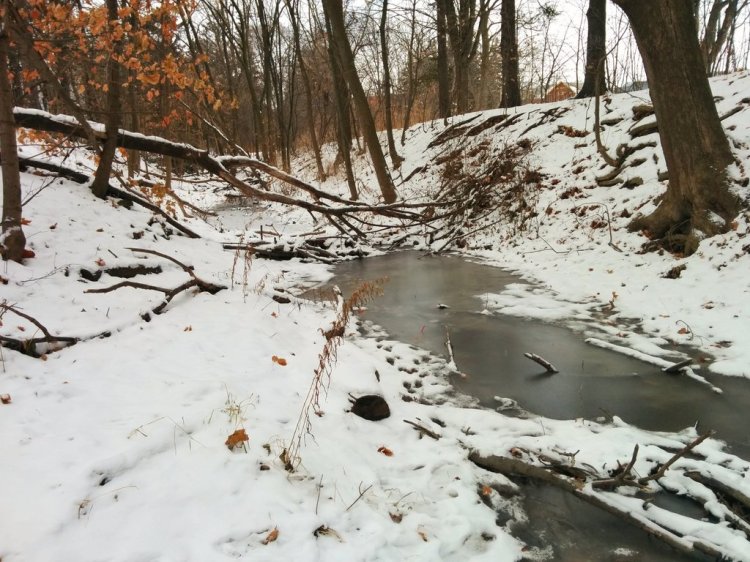
This isn’t a tiny ditch, there’s half decent flow here. Goes through a little ravine before diving into this inlet to go under the rail corridor. No pedestrian passage, gotta go around.


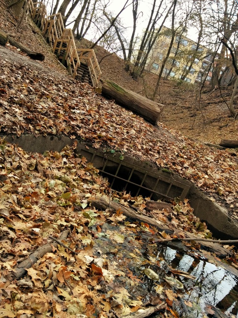
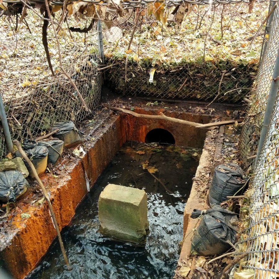
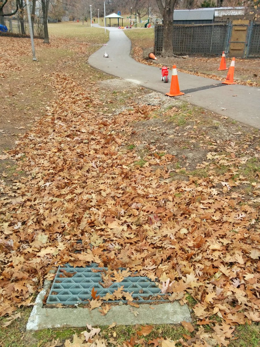
It’s not clear to me where the outlet is. Too many leaves. It is clear to me what a wall of a berm this is though.

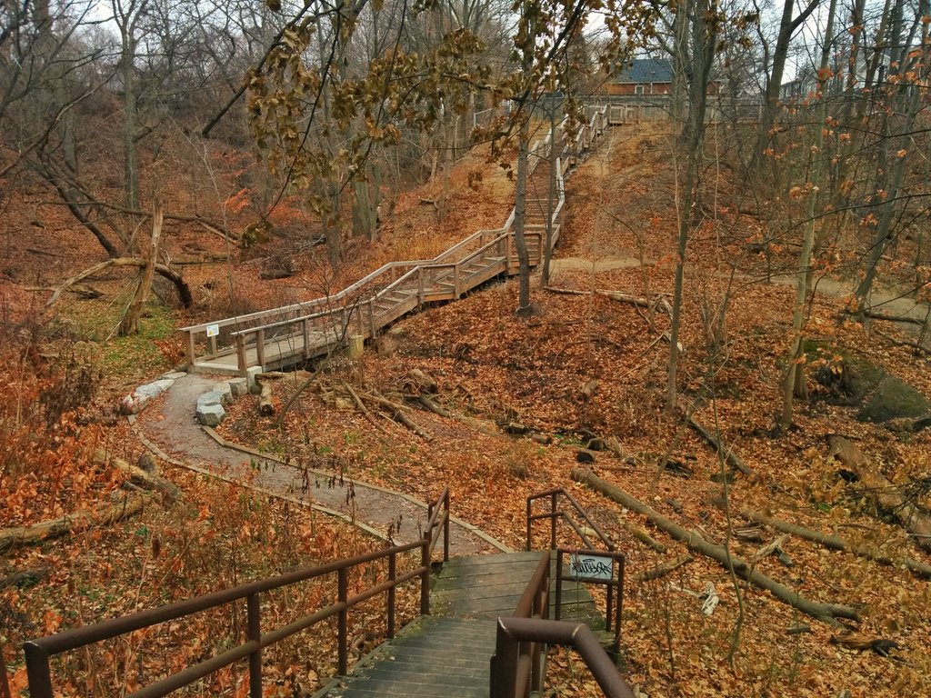
Last time I was here, these stairs were a work in progress. They’re done now, and they look solid. Always great to see an investment in ravine access. Interruptions are starting.


Unless I get a surprise, this inlet north of Gerrard will probably be my last glimpse of Smalls Creek before reaching the lake.
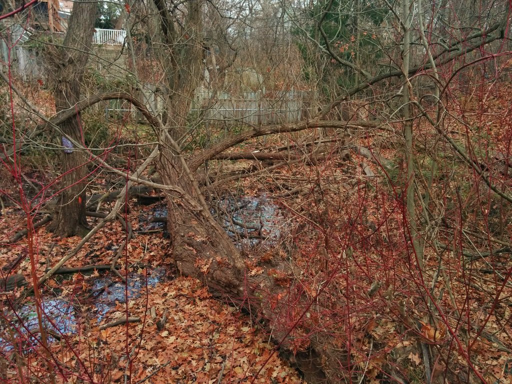
Okay, got a surprise. Pops out a couple times south of Gerrard.


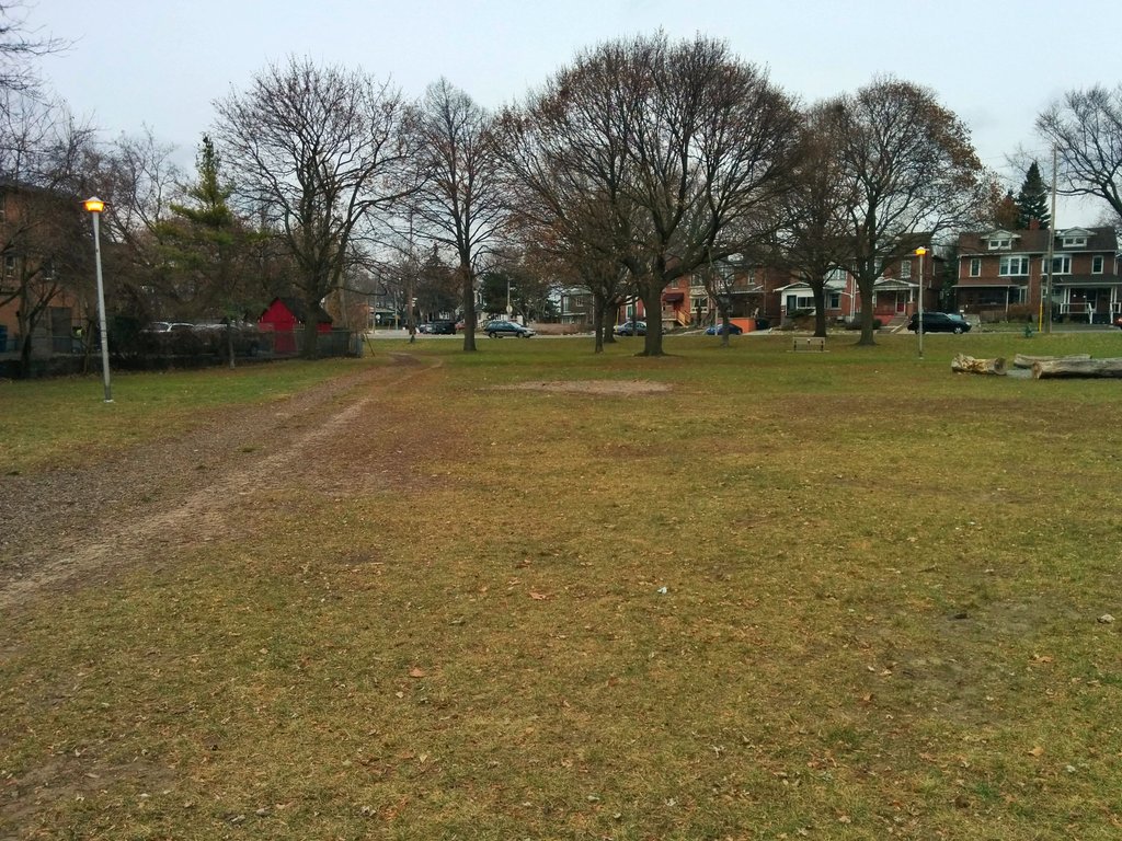
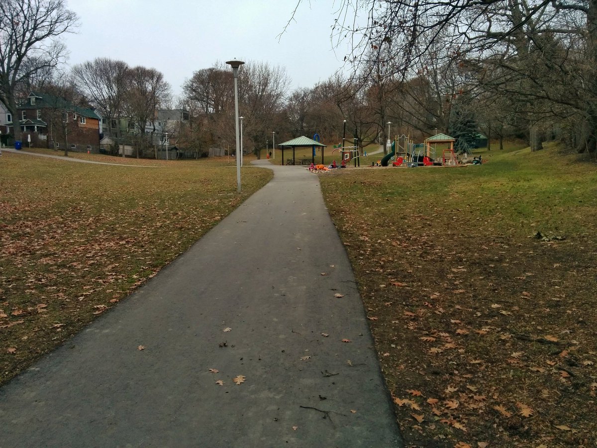
Mushy low-lying recreational parkland. Orchard Park appears to be a former confluence between Smalls Creek and a tributary.


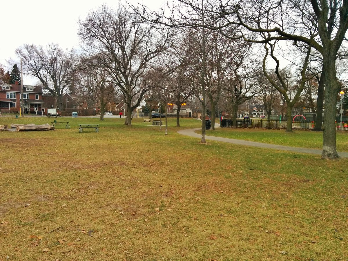
Unless they diverted it completely (which wouldn’t make much sense), Smalls Creek ends up here. After taking advantage of wetland ecological benefits in Woodbine Park, it and everything else from the wetland drains into Ashbridges Bay.


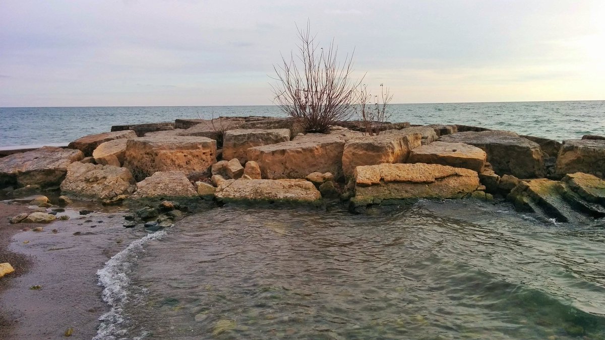
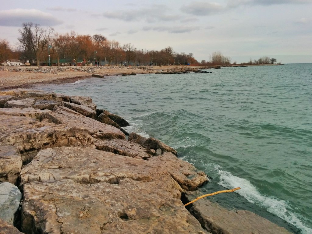
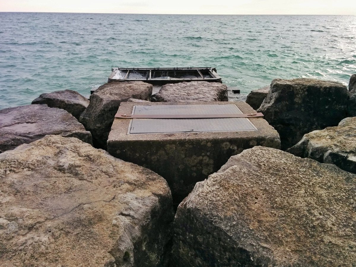
The Beach(es). The rocks.
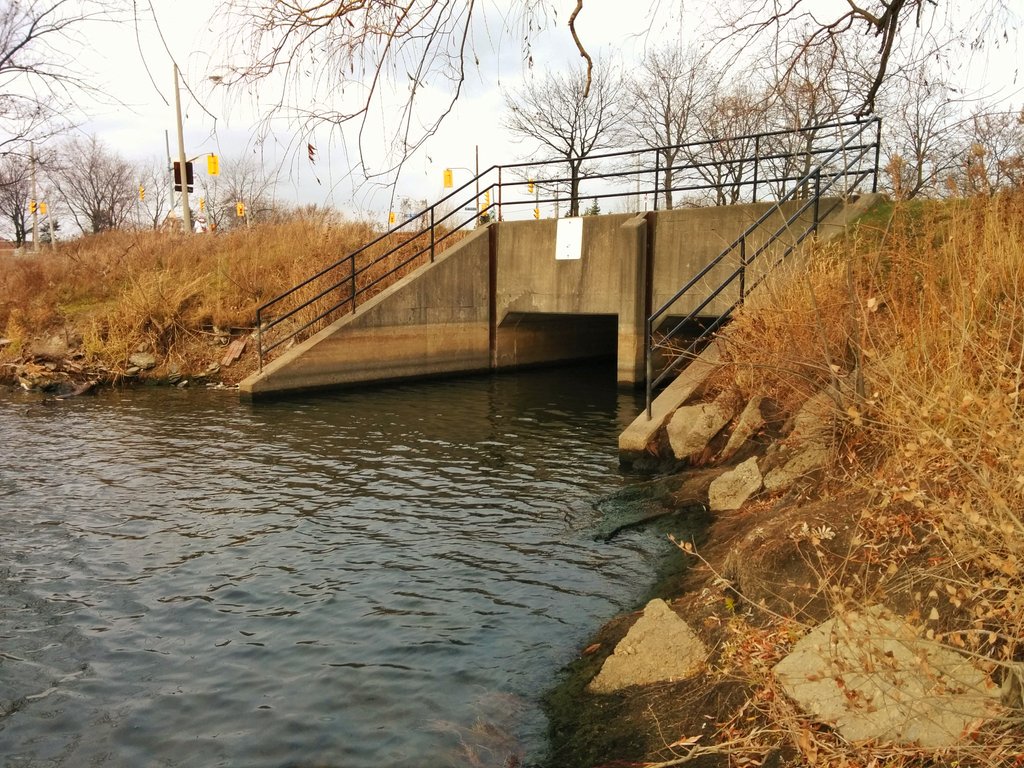
The outfall of the next creek, Ames Creek, is likely this first pipe. There’s old dockwall infrastructure here too.


Glen Stewart Ravine. I’ve been meaning to come here for a long time.
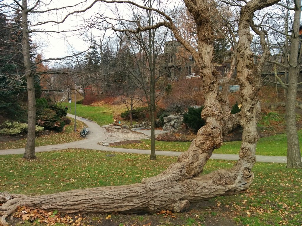

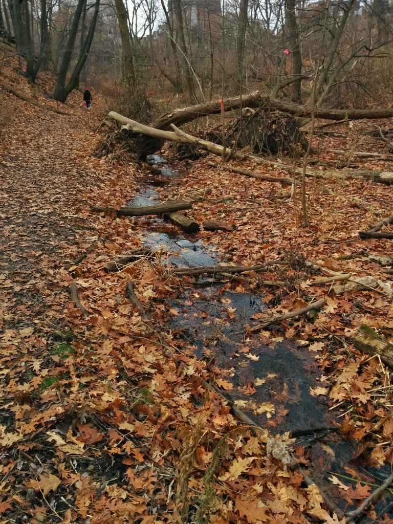
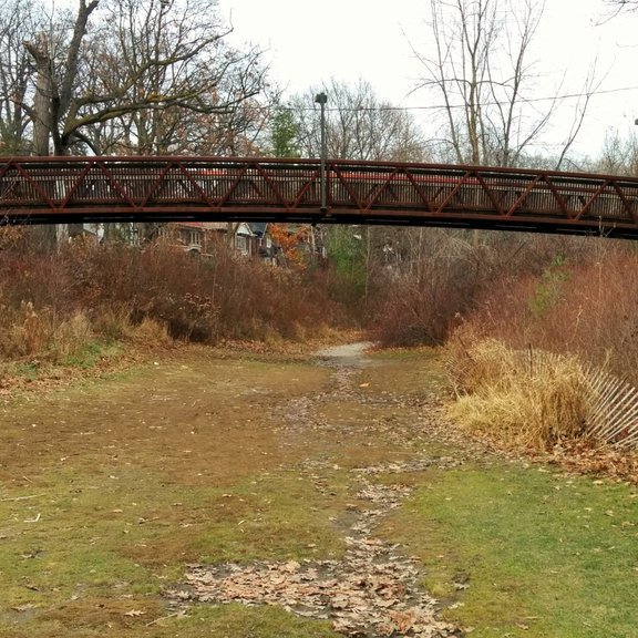
Ames Creek pops into view. Iron and wood bridges.


This is why I trace Toronto’s creeks. To discover the beauty of creeks and ravines like this. To advocate for the enhancement of the creeks and ravines that have been shunned. And one day, to work towards the restoration of the creeks and ravines that we lost.


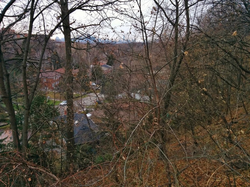
Following the Ames Creek ravine took me far northeast, almost into the Highland Creek watershed. Yet the valley actually continues northwest. I’m stuck high on the east table.

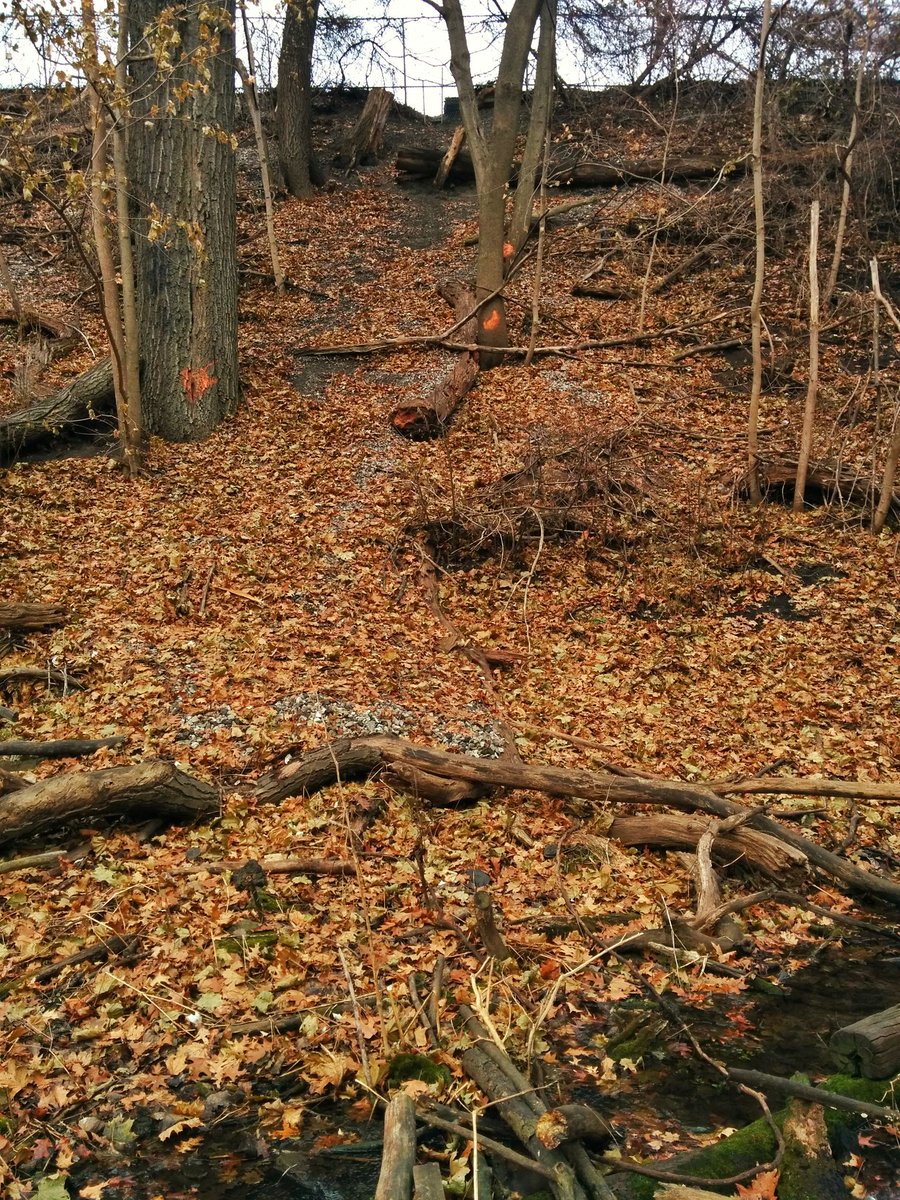
I seem to be in the ravine floor. No sign of a creek. Just single family houses and a little park.

Surface ditches, manhole covers, recreation park. Definitely looks like a former ravine. I’m going to end this chase here, and head back west to the Smalls Creek tributary.
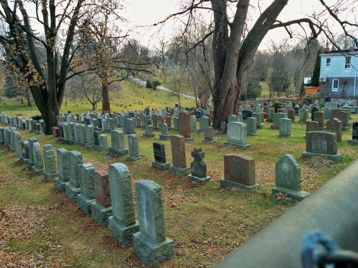
Dead headwaters. Not much to tell. Most of the tributary is within a cemetery that isn’t public access, entire thing is lost. Takes me back to the confluence at Orchard Park. That caps today’s walk.


Date: December 9, 2017
Length: 14.6 km
Type: Riverine

Related Walks

Shoreline east and west of the creek confluences
Shoreline V
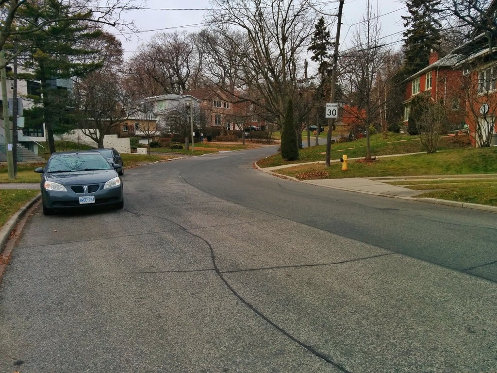
Railway line intersecting Smalls Creek ravine
Kingston Sub