Welcome to Metroscapes
Explore using the links below or the menu above
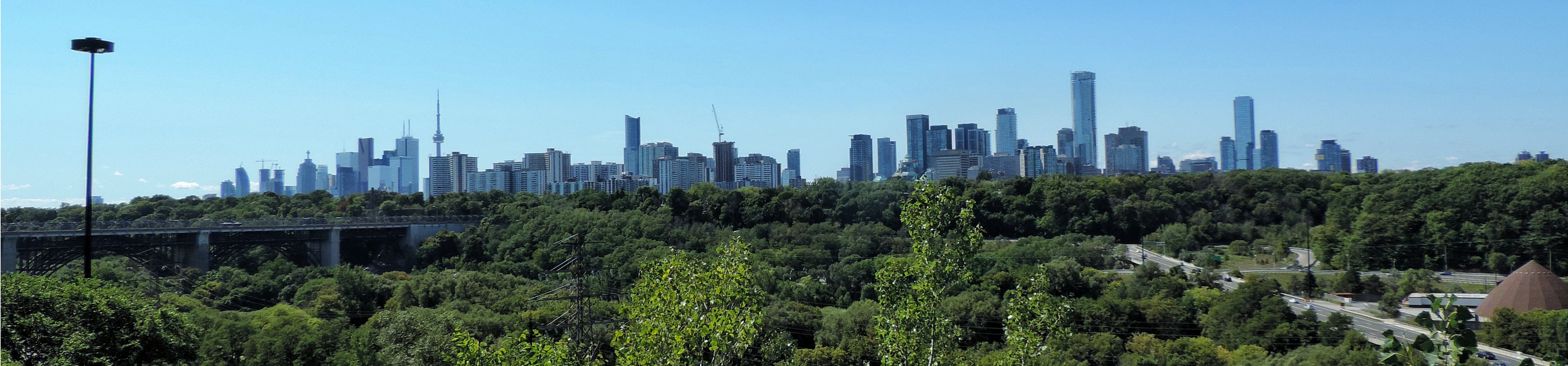
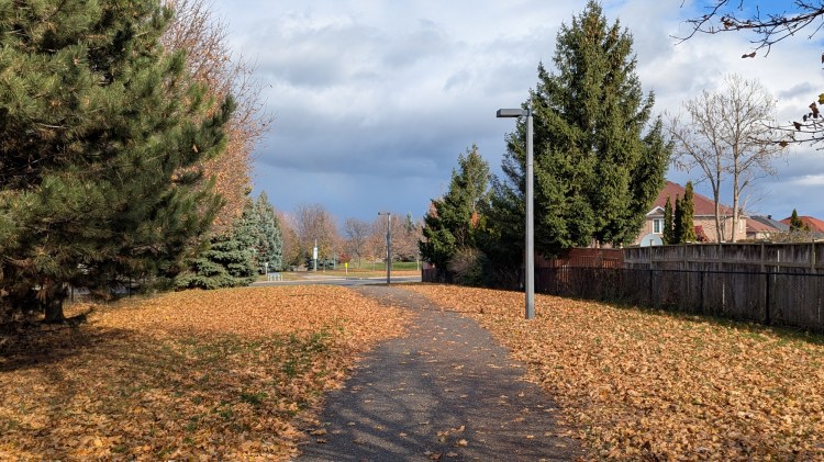
Walks

Explore this site’s foundation: over 3,000 kilometres of walks across six unique regions in the Greater Golden Horseshoe.
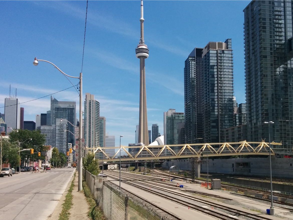
Projects
Take a deep dive into your local watersheds, shorelines / riverbanks, neighbourhoods, hydro corridors and railways.
Blog
Read about current issues affecting metroscapes, the latest website developments, and thoughts on improving the public realm.
Recent Activity
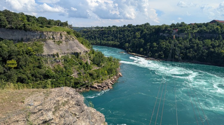
A breakdown of ownership and access to the banks of five major Niagara waterways.
Tracing a pipeline corridor across upper Brampton, from Mt Pleasant to Castlemore Estates.
A review of everything completed for Metroscapes in 2025, including a photo montage.
