Good morning from the edge of Hamilton. Today I will be tracing Burlington’s shoreline. I’ll start here where Grindstone Creek flows into Lake Ontario, and head east. Let’s go.
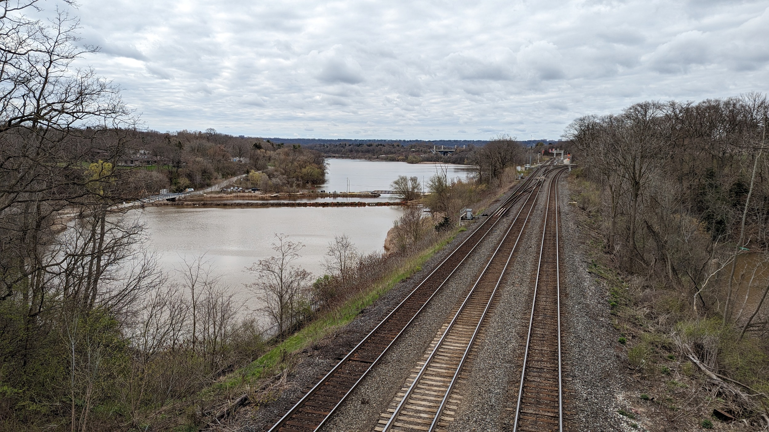
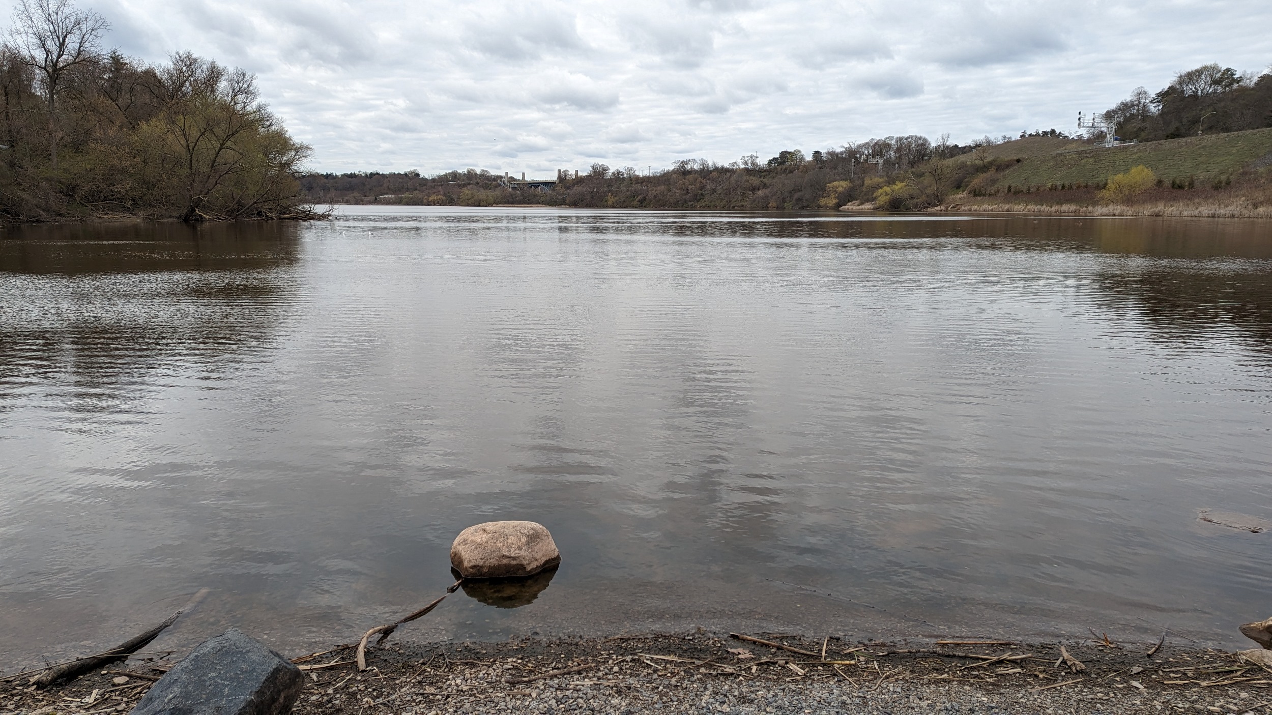
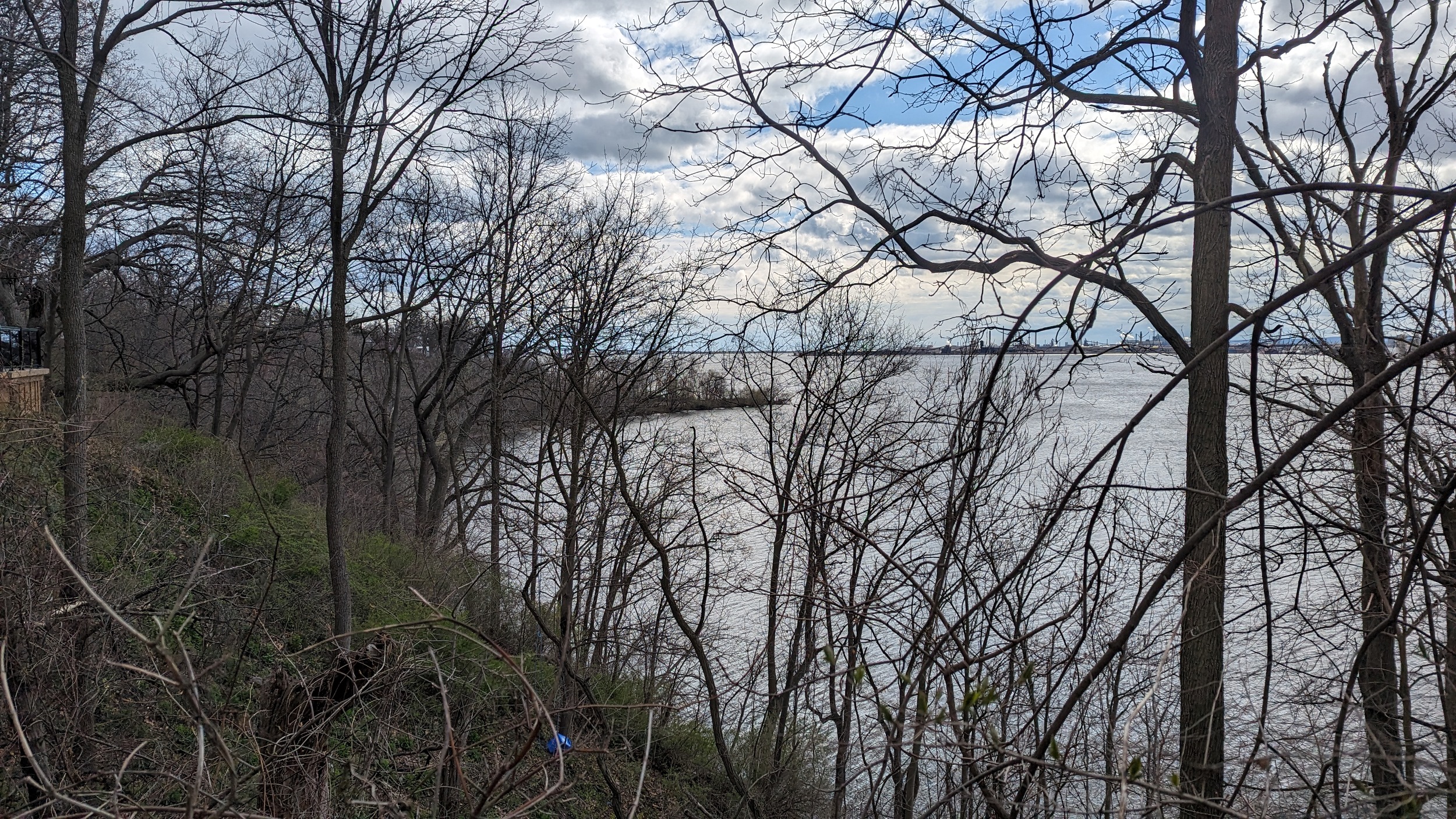
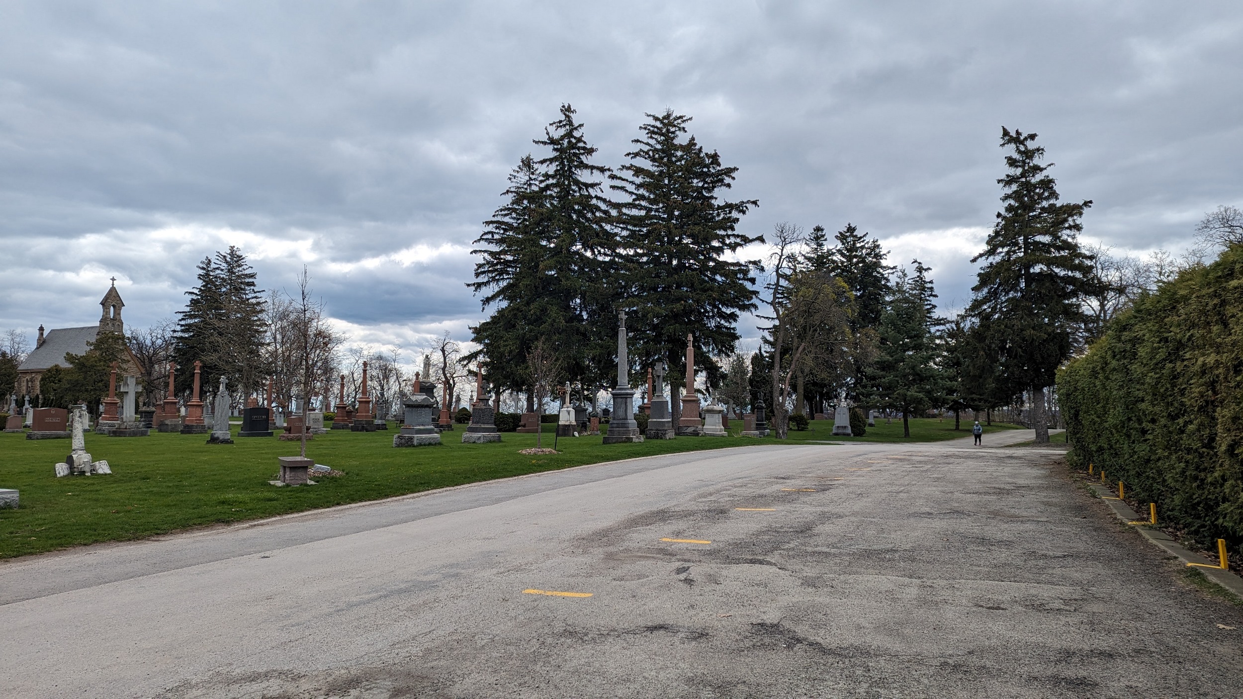
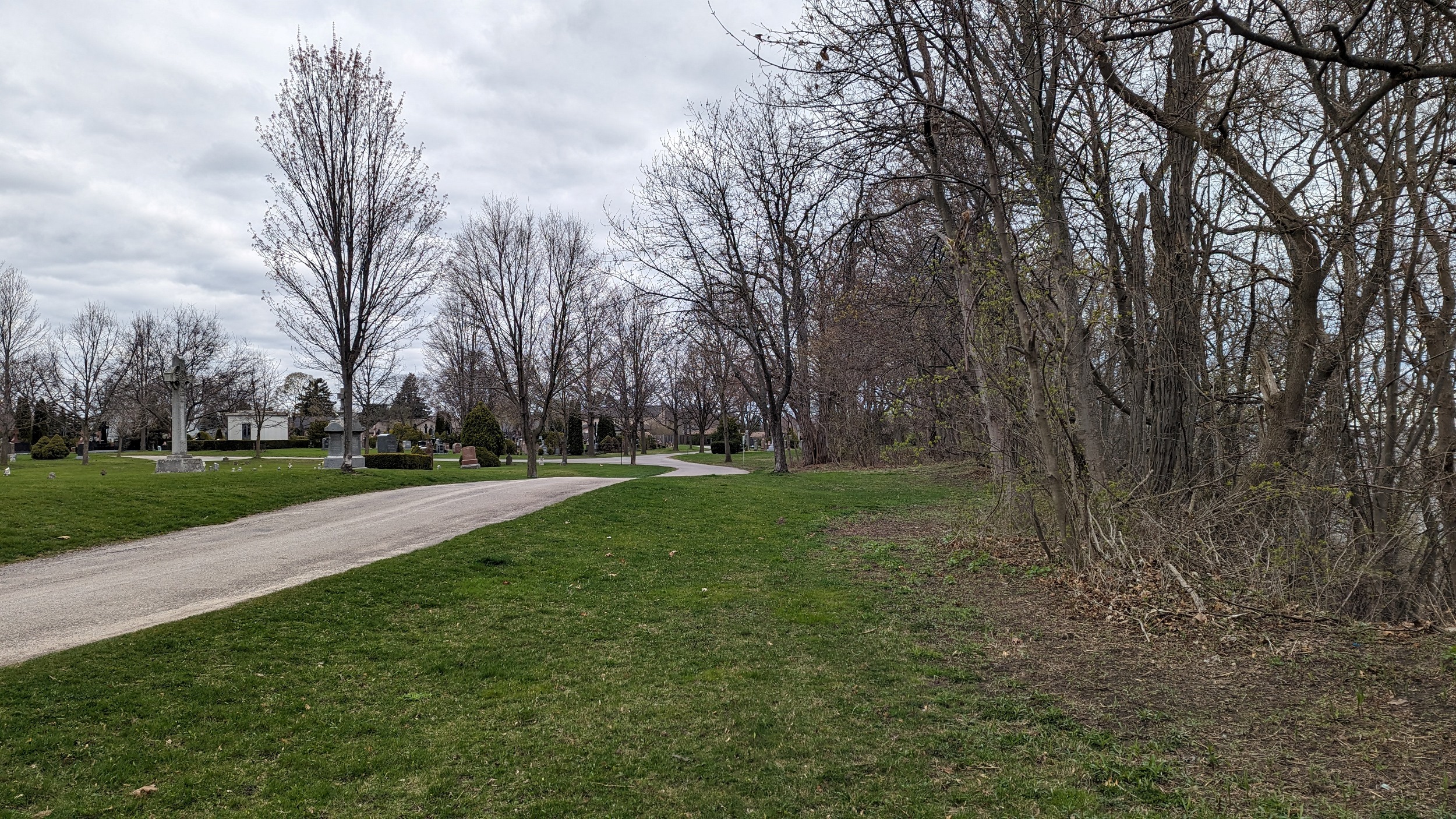
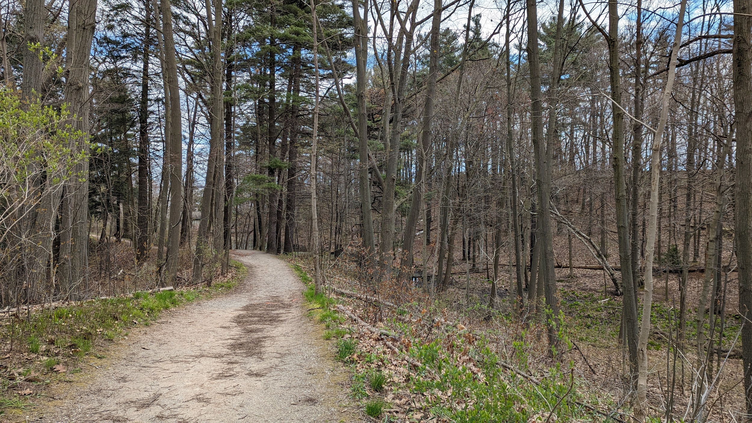
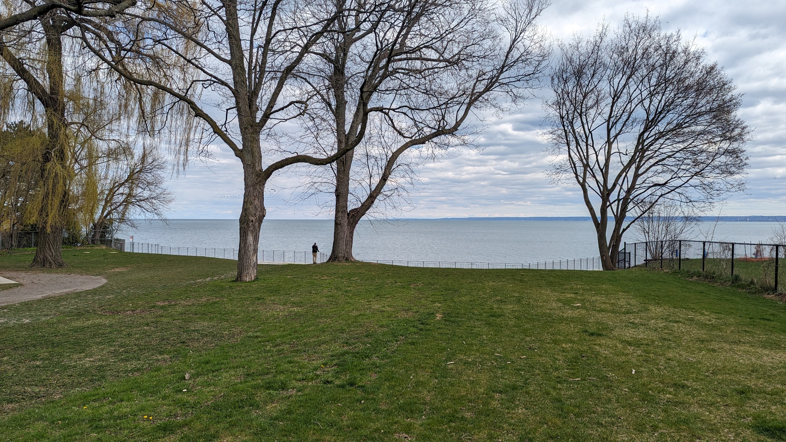
First major area of public space is Woodland Cemetery. I thought I’d get stuck up on the bluffs, but I managed to find a trail leading down to Carroll’s Point. It’s a beautiful spot providing views of Hamilton Harbour and Desjardins Canal. Plenty of flat rocks for skipping too.
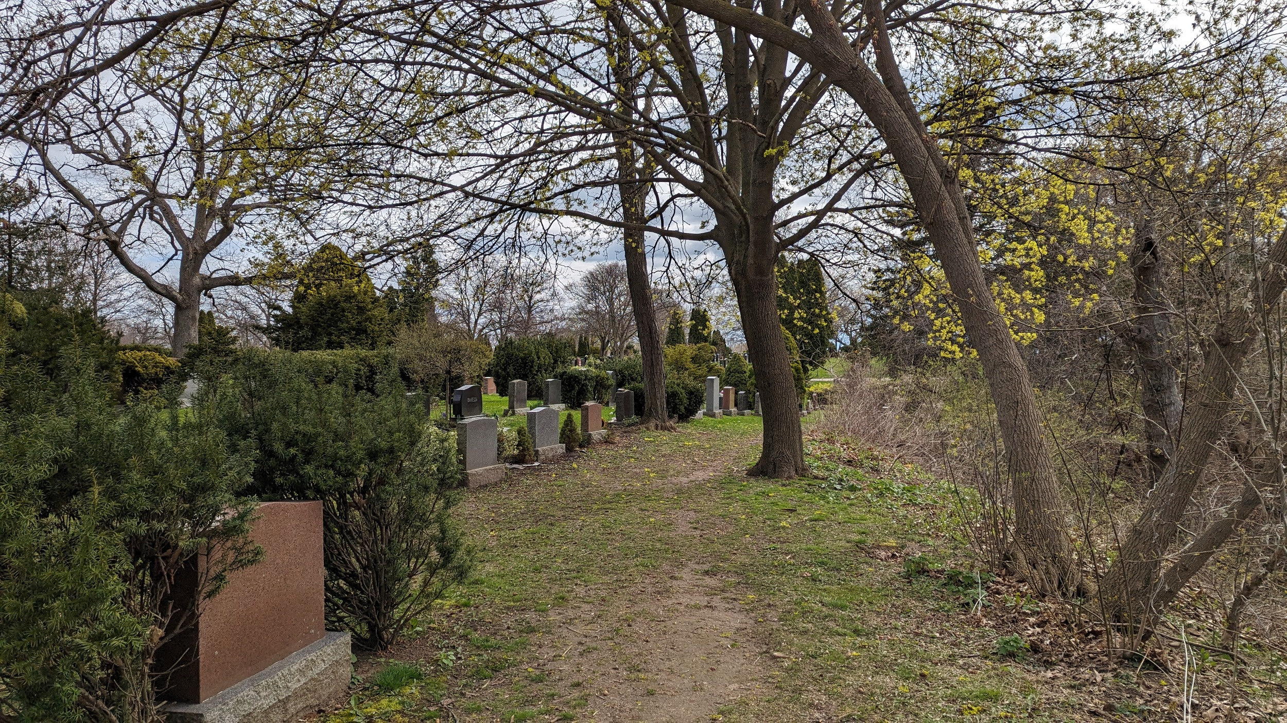
After clambering back up the bluff, you follow its edge again around the graves. Nice views of Carroll’s Point from above, as well as Willow Cove. At cemetery’s southeast corner, you bump into the Bayview Cemetery, which does not allow public access. So you go around.


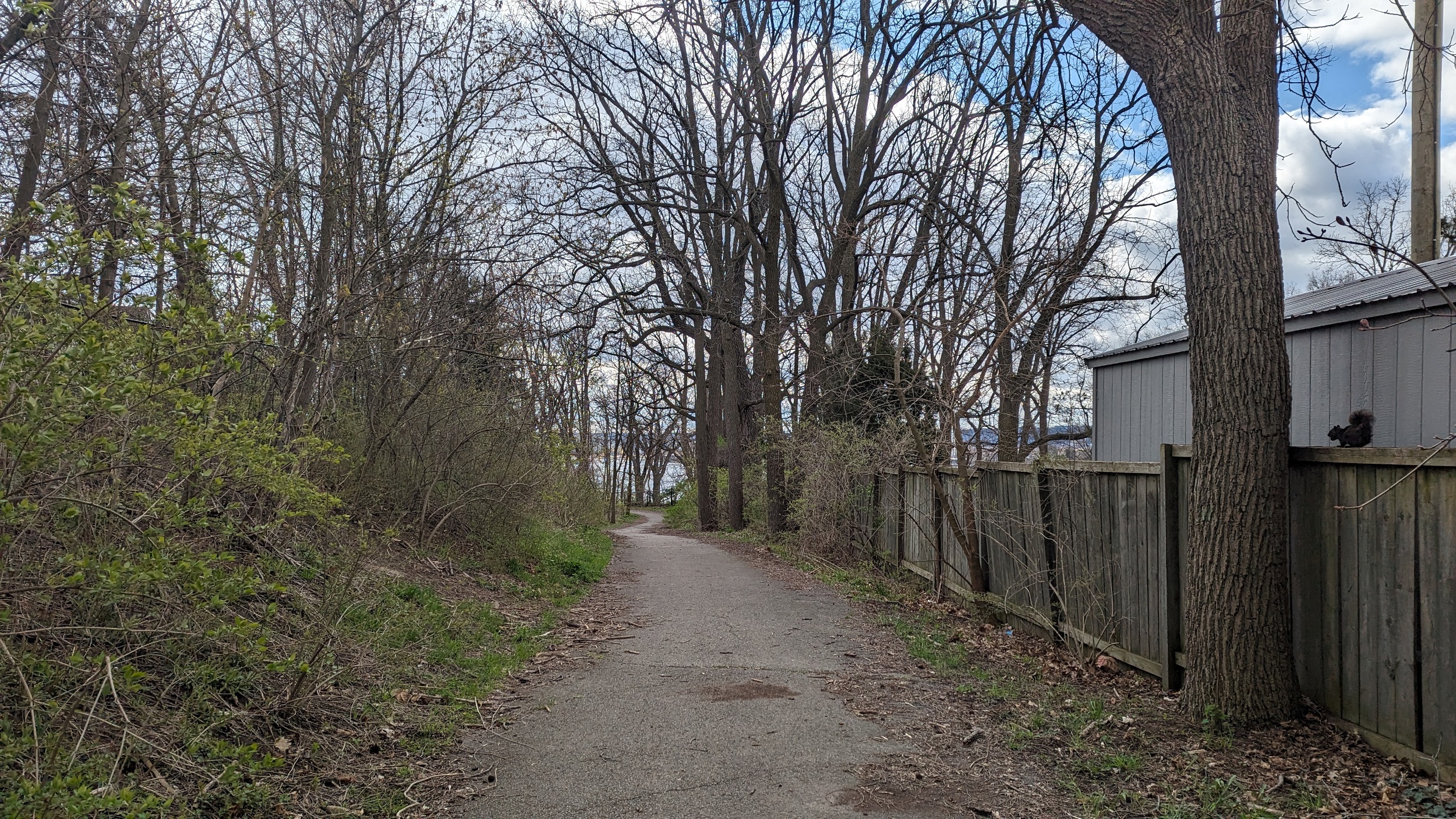
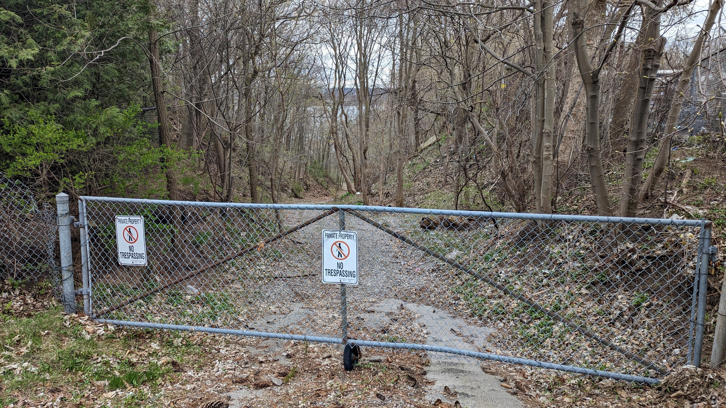
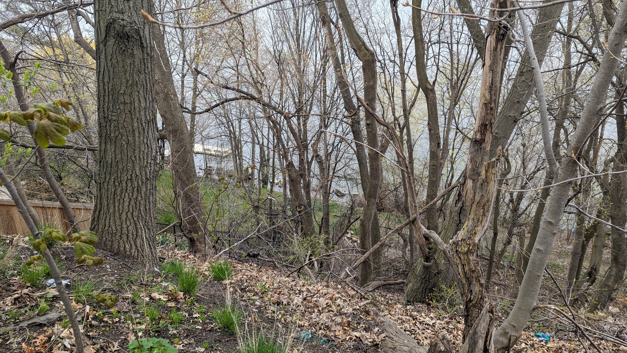
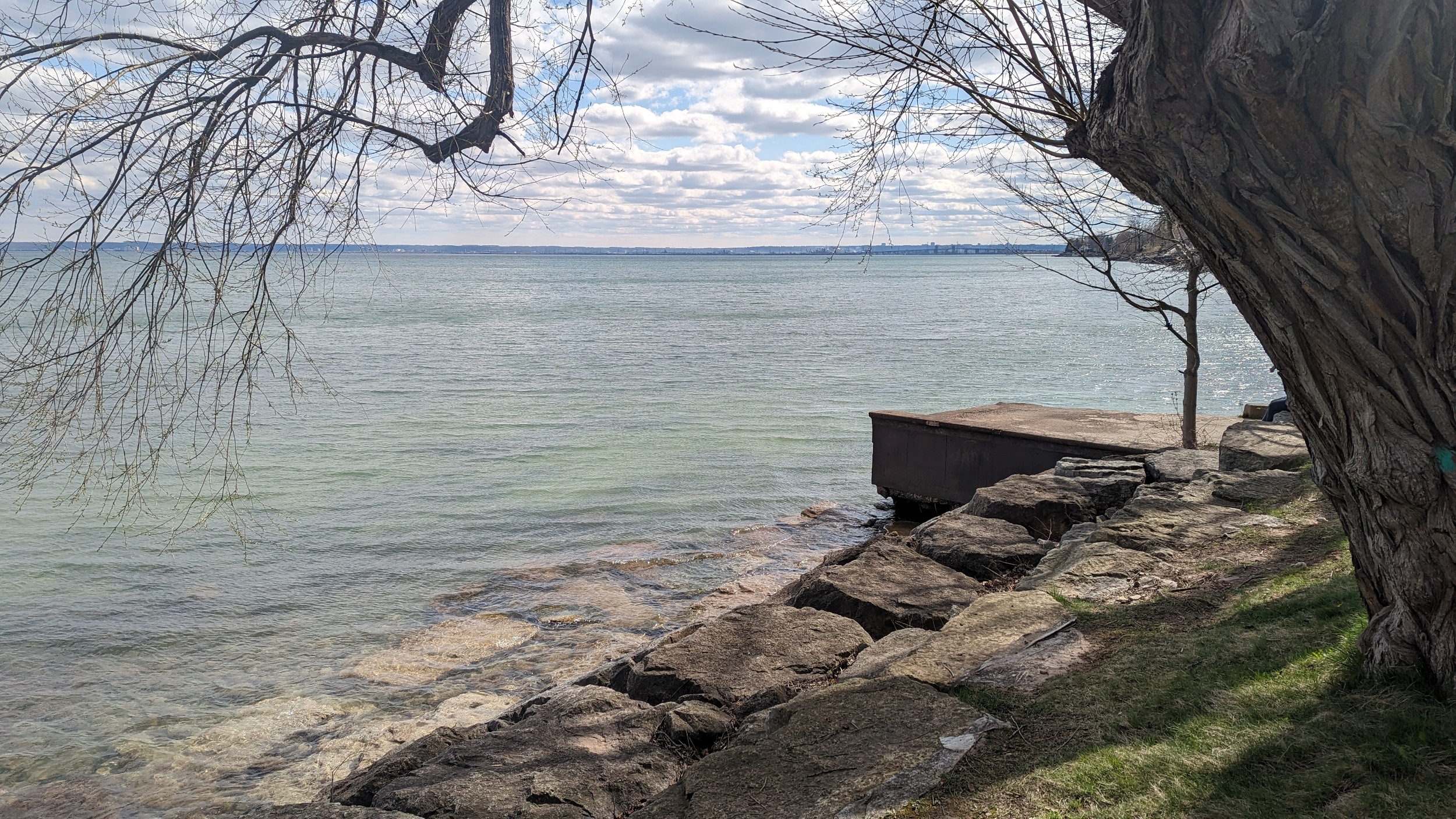
A public trail behind some townhouses, I hadn’t expected this. A little further down, there’s a storm drain outlet that you would think is public, but signs claim otherwise. Then public access across two private driveways into Holy Sepulchre. This highlights the value of ground truthing your work.

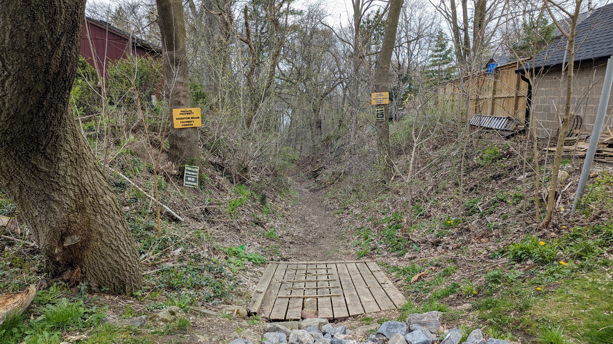
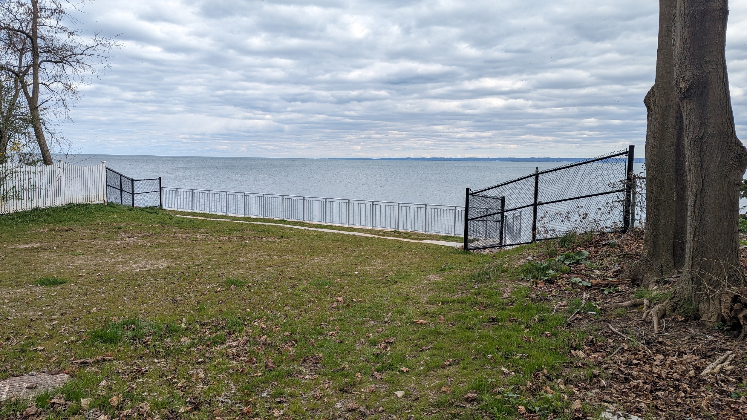
Around the perimeter of Holy Sepulchre Cemetery, there’s one more obvious access to the water’s edge that’s gated off. The bottom looks to be flat and ideal for a trail. Private backyards on Danforth Avenue are a major barrier, and this kicks off a major stretch of private inaccessible shoreline.
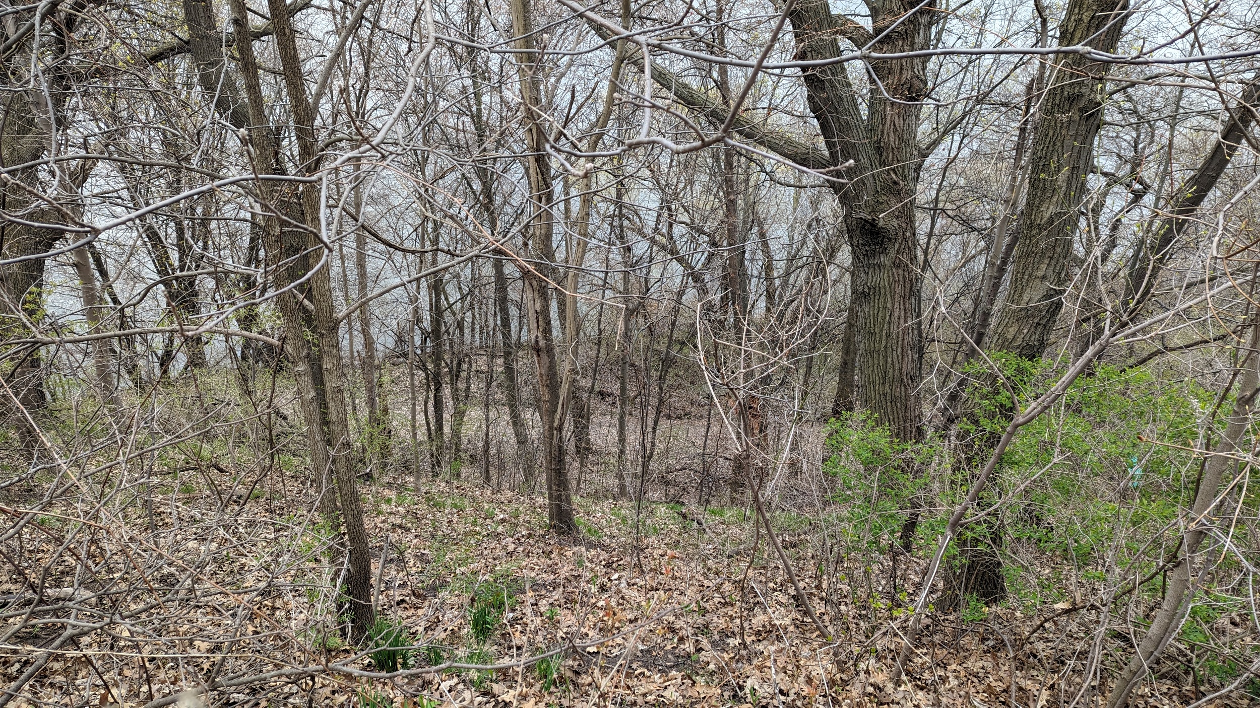
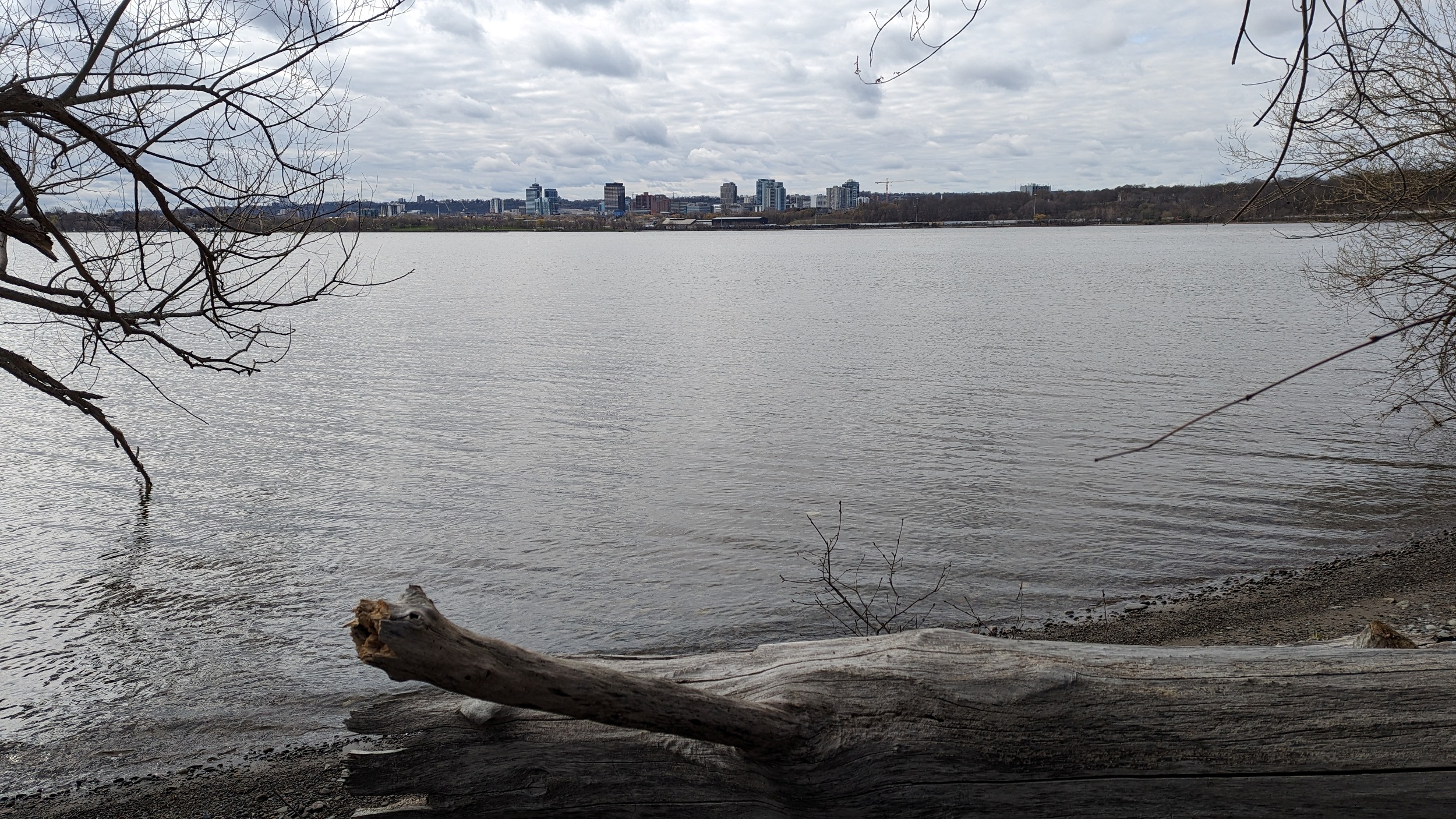
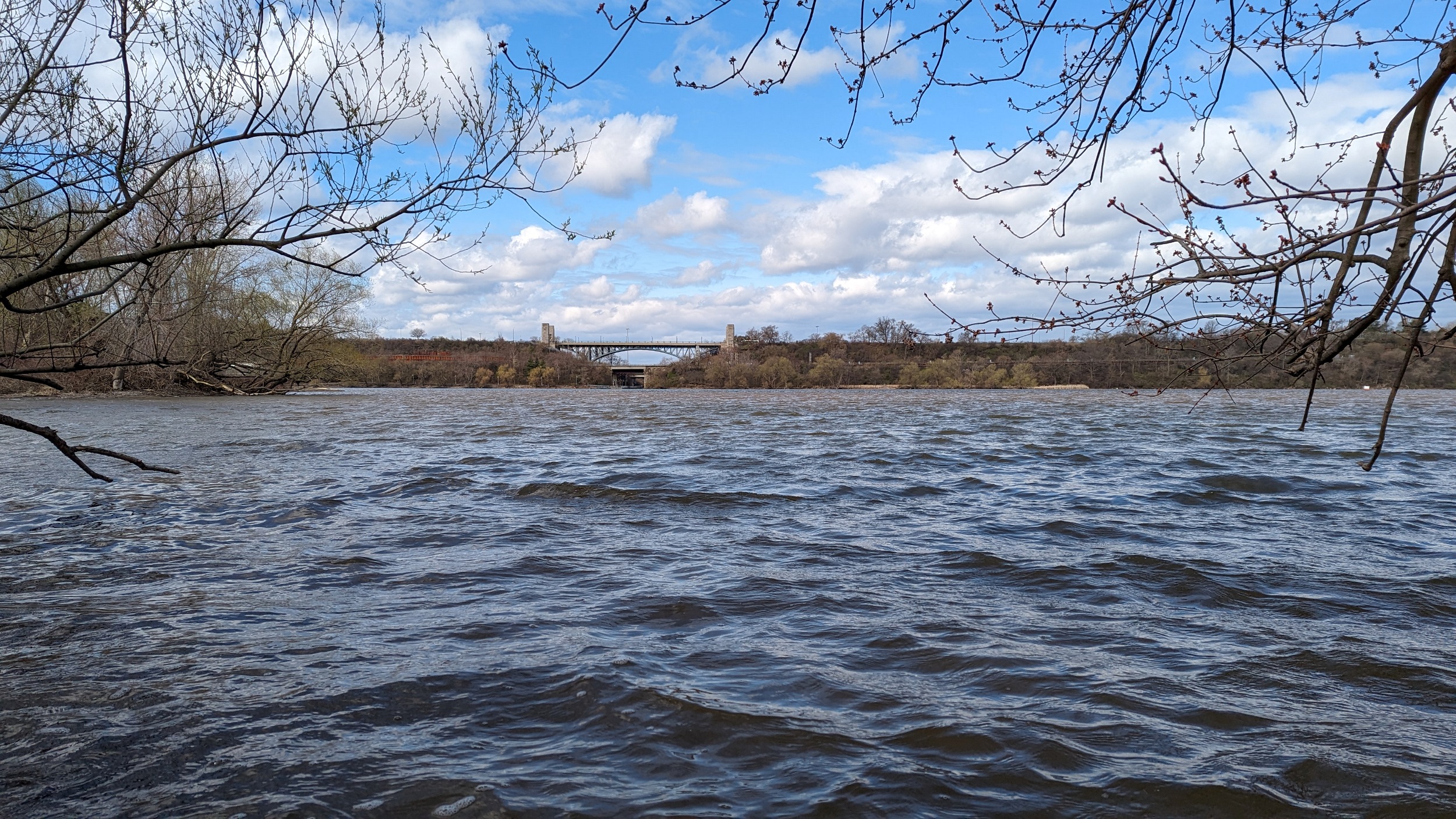
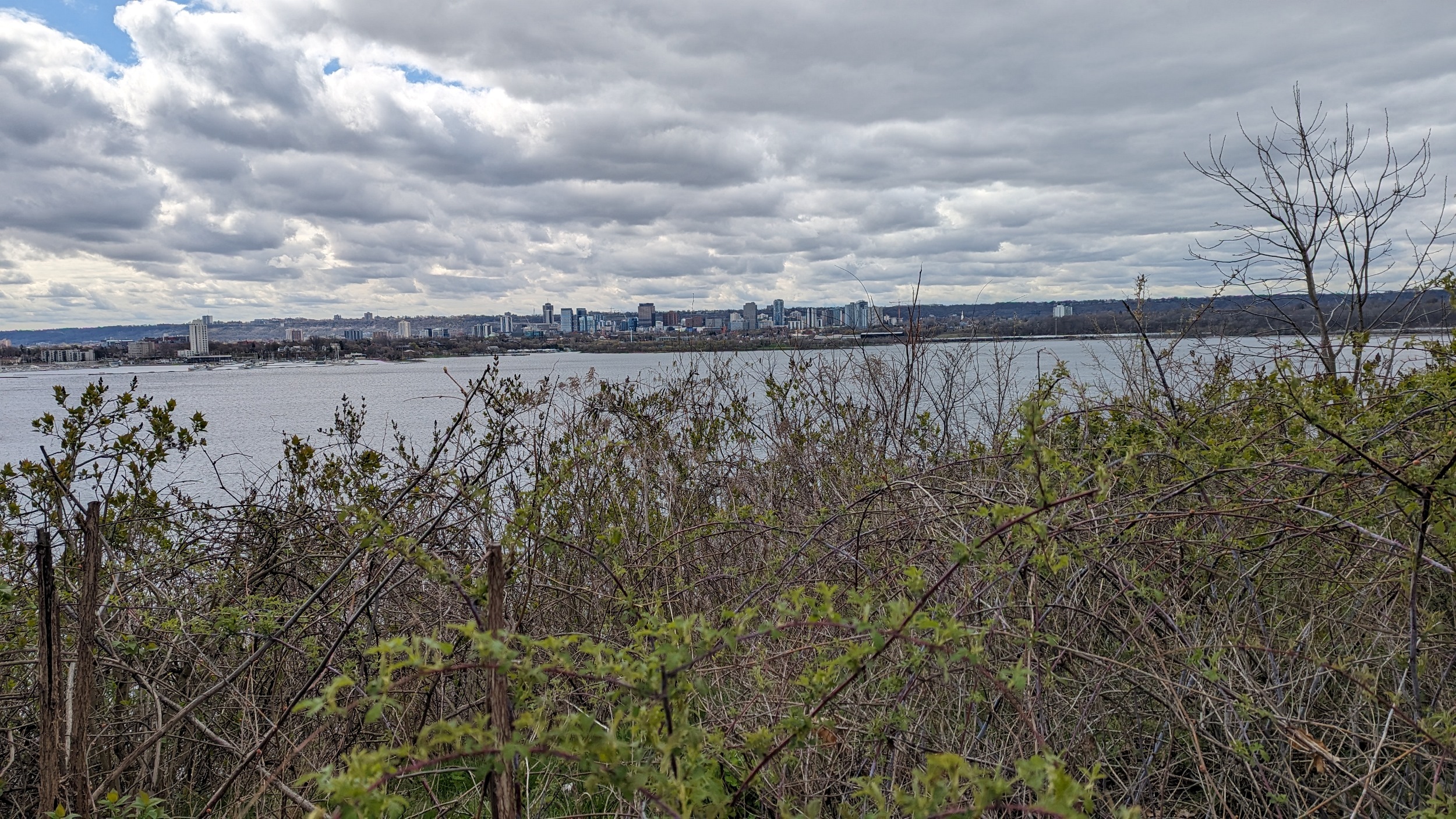
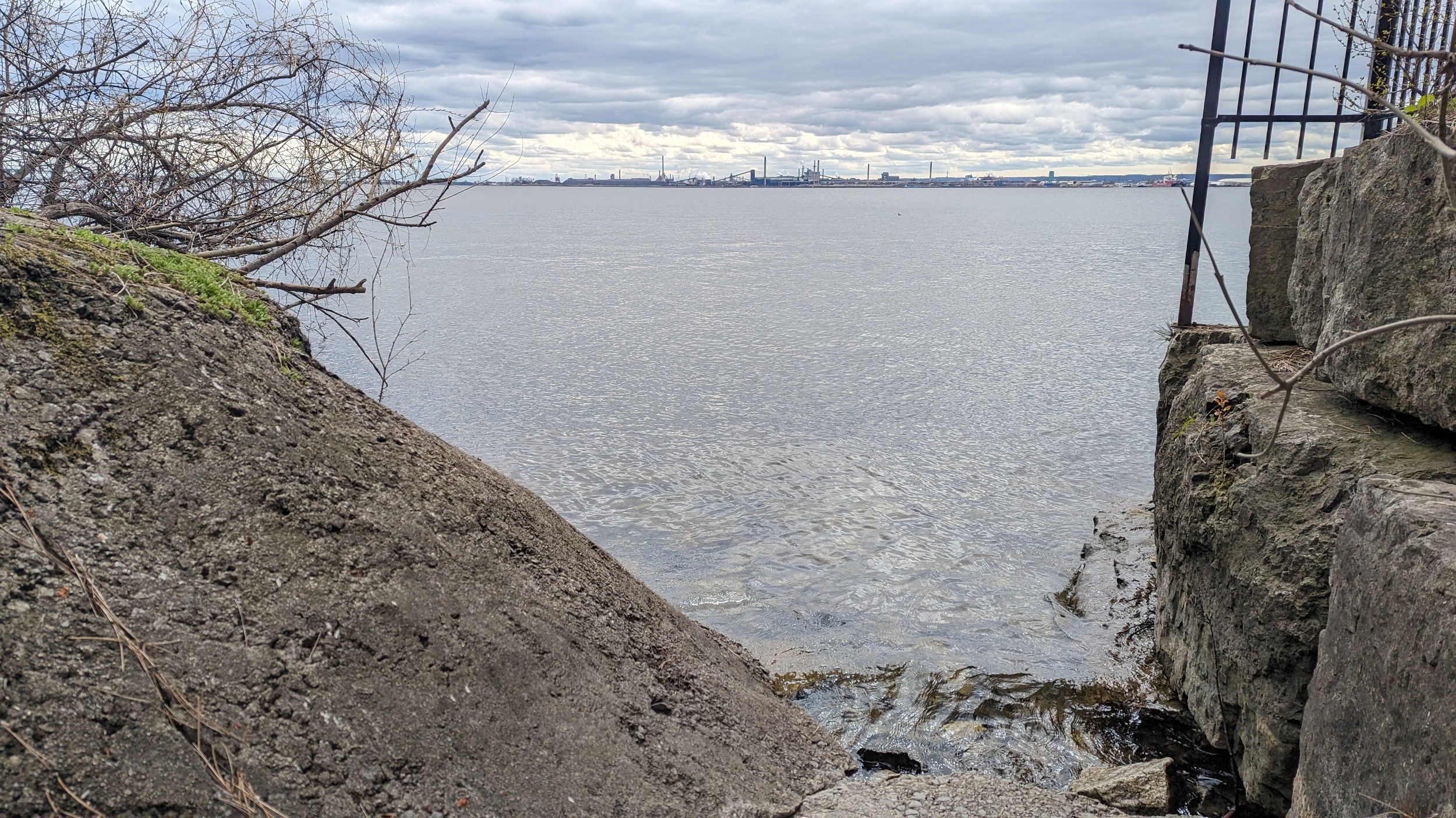
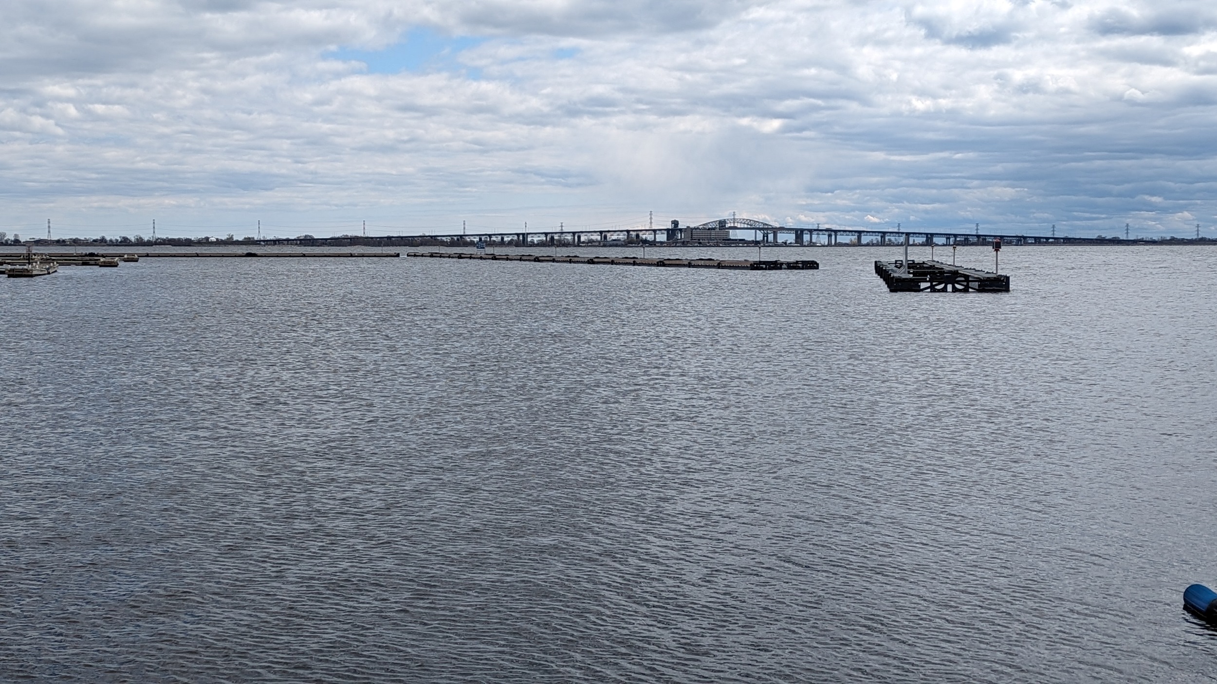
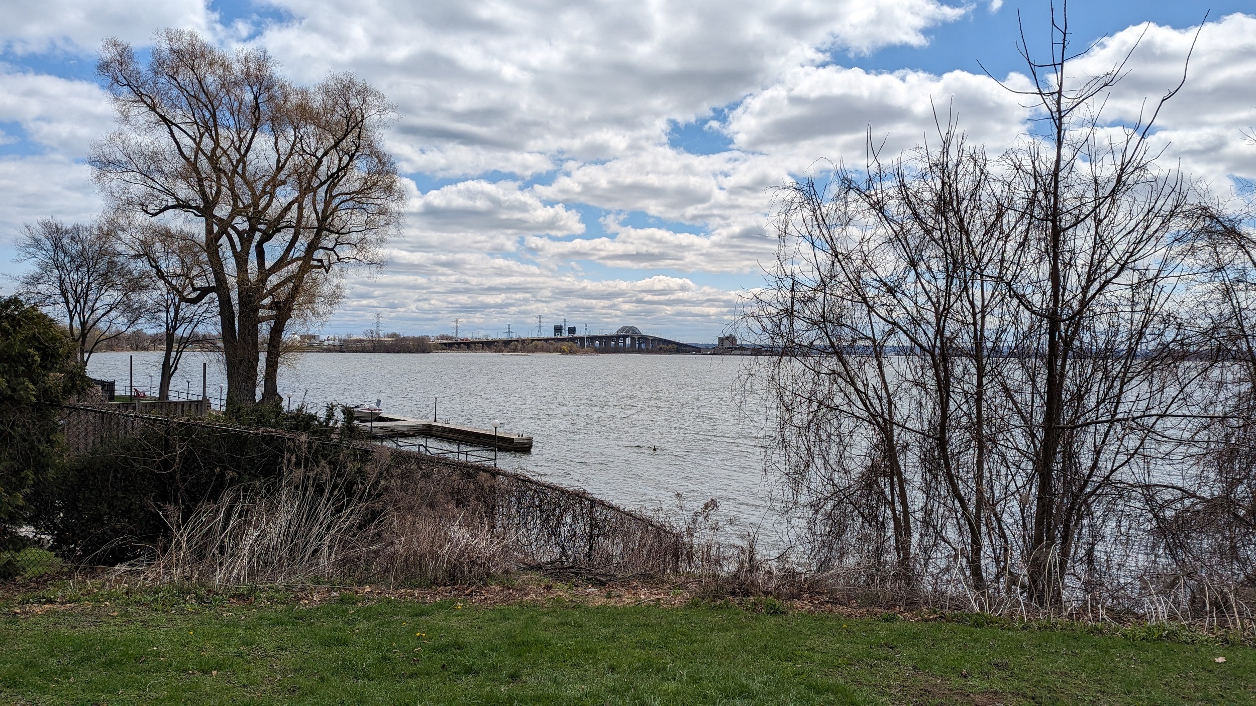
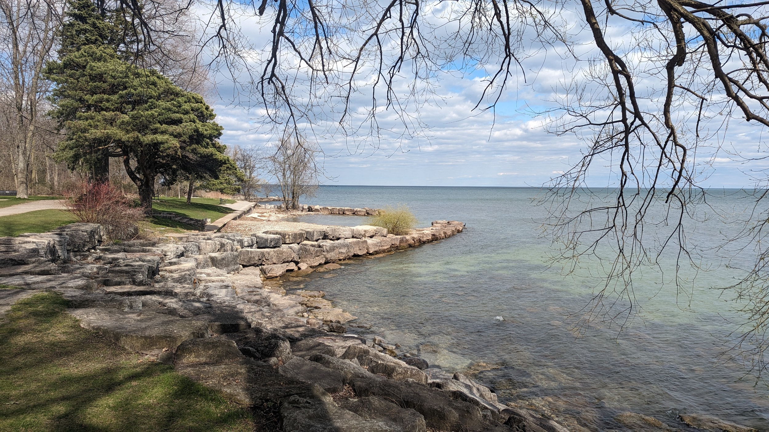
Spoke too soon, a small road right-of-way spits off from Danforth Place. Otherwise, it’s all private until Lasalle Park Marina. More good views of Hamilton and the Burlington Skyway (would be better with sunshine).
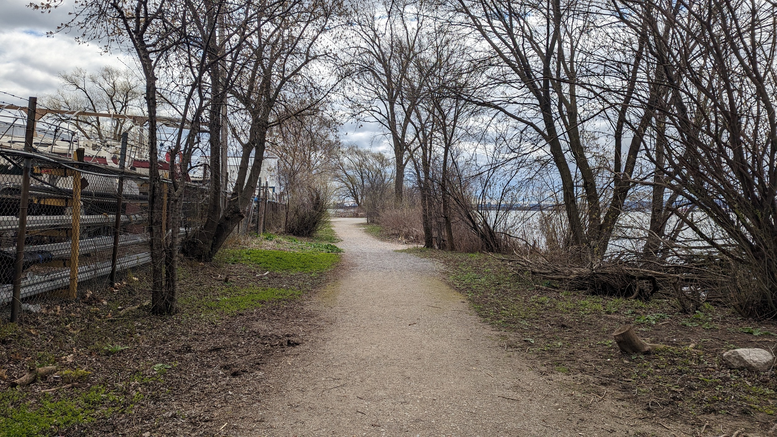

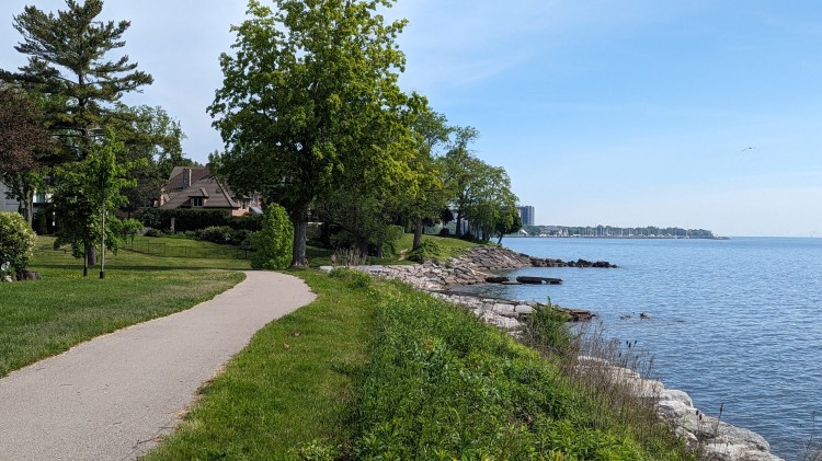
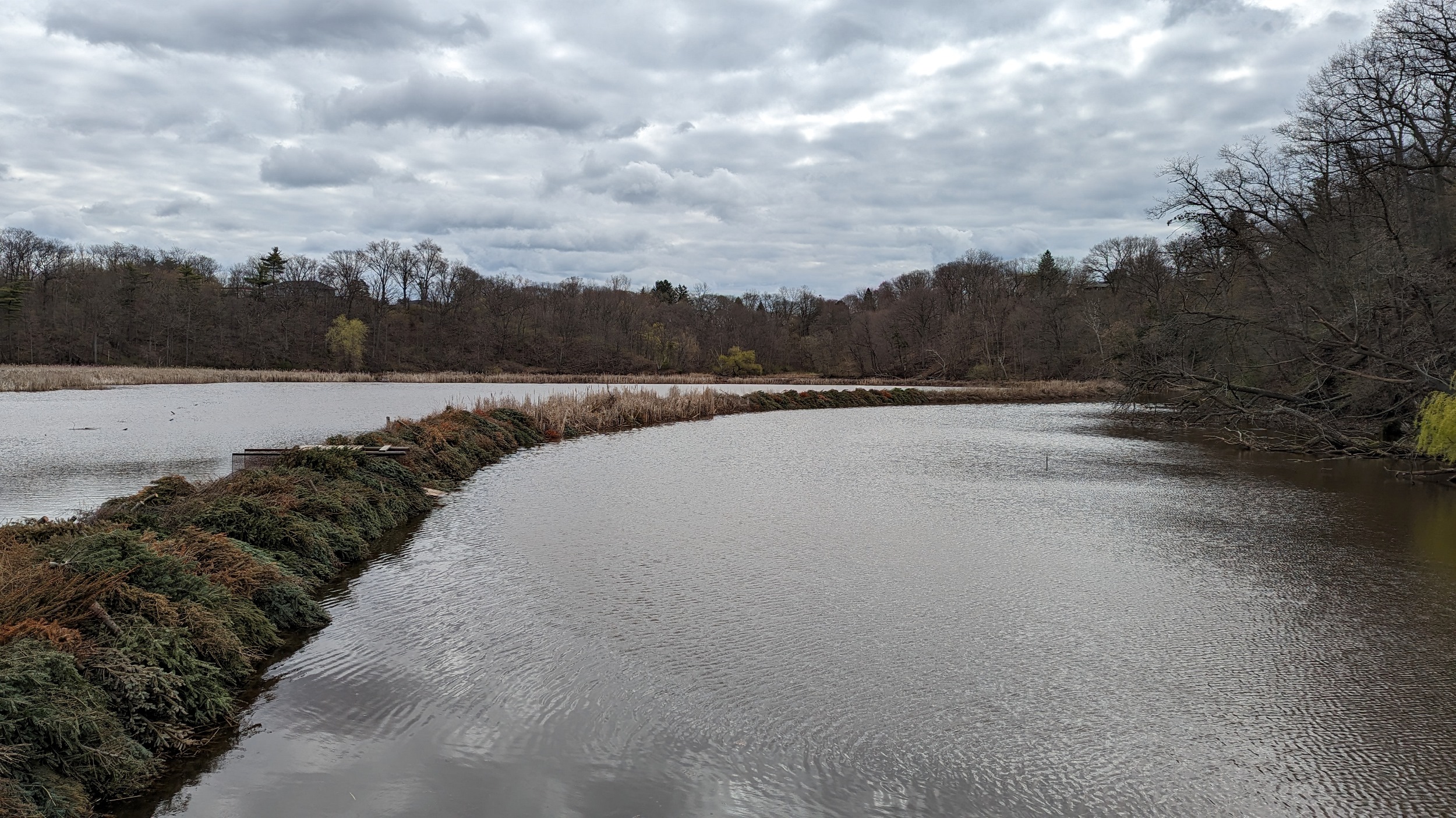
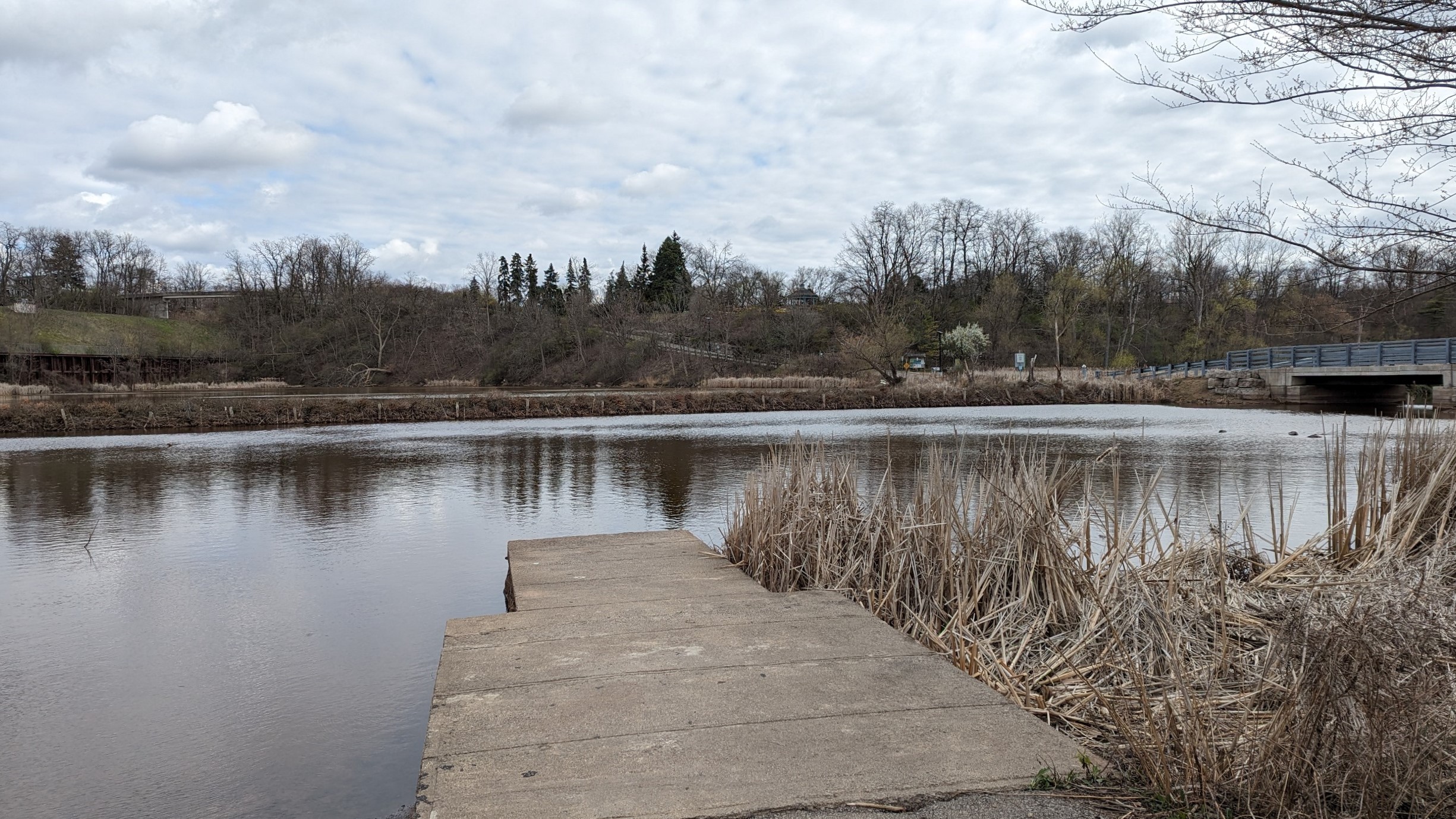
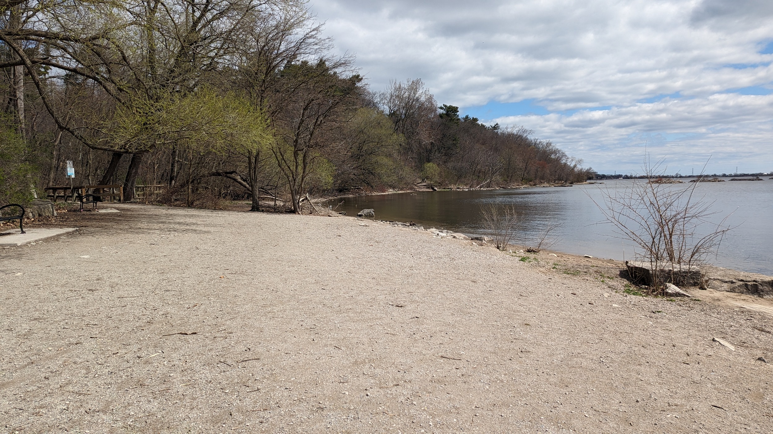
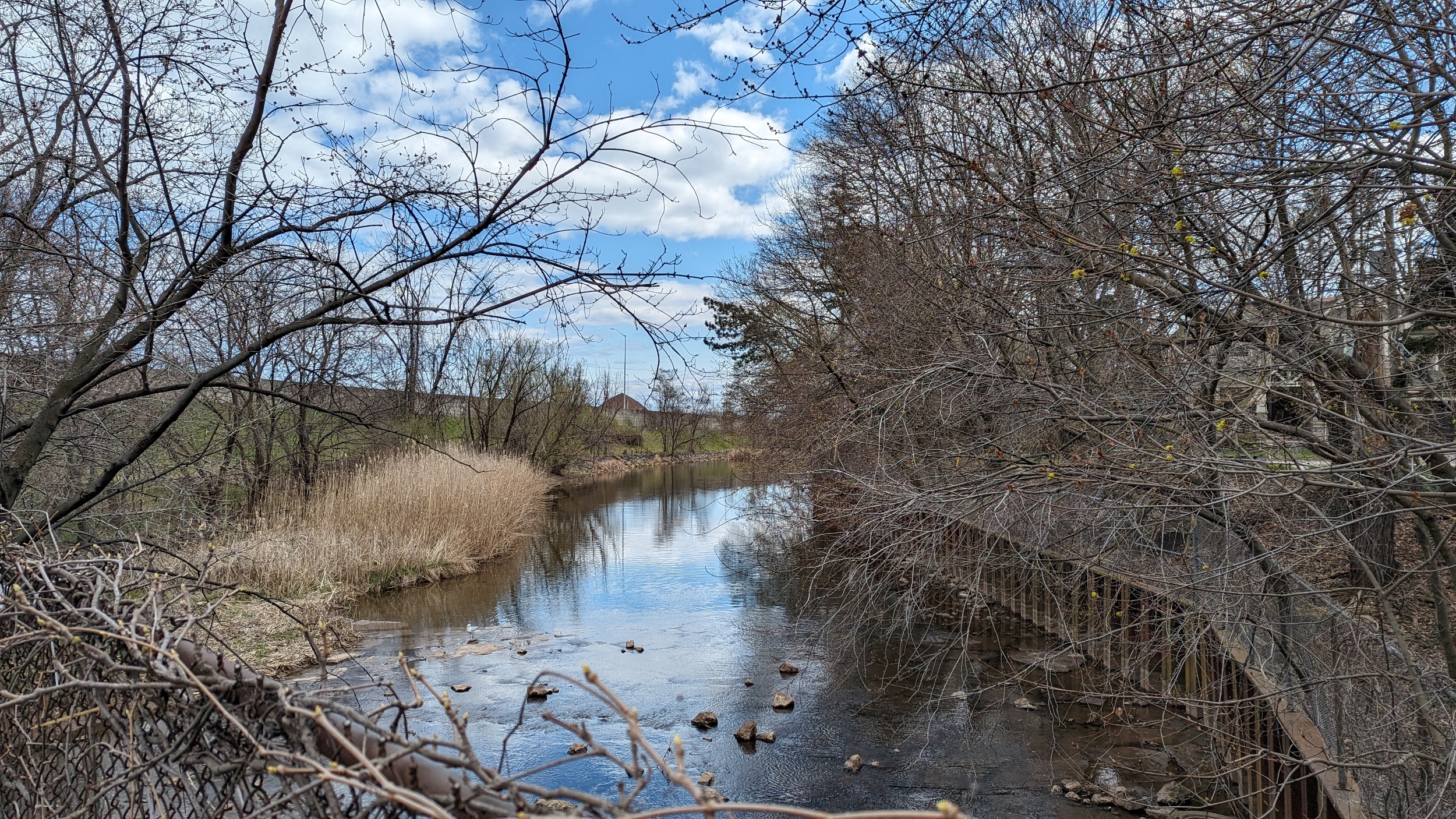
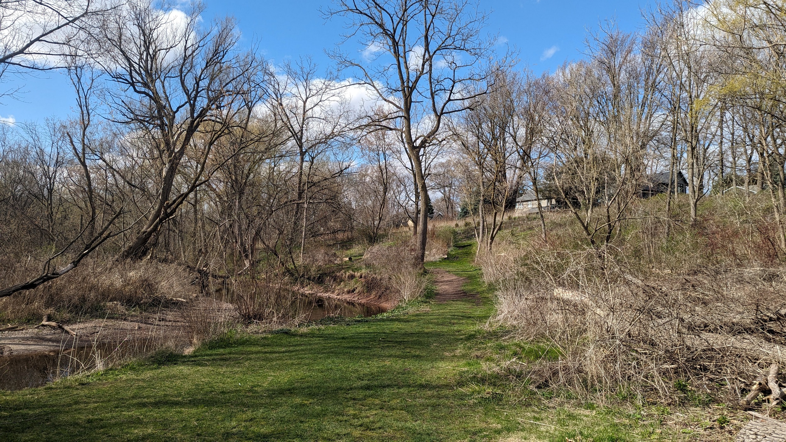
Into Lasalle Park proper, and a lovely boardwalk and trail lead you further along the shore. Eventually you hit a point where you must backtrack west to get around a wetland and back onto North Shore Boulevard.


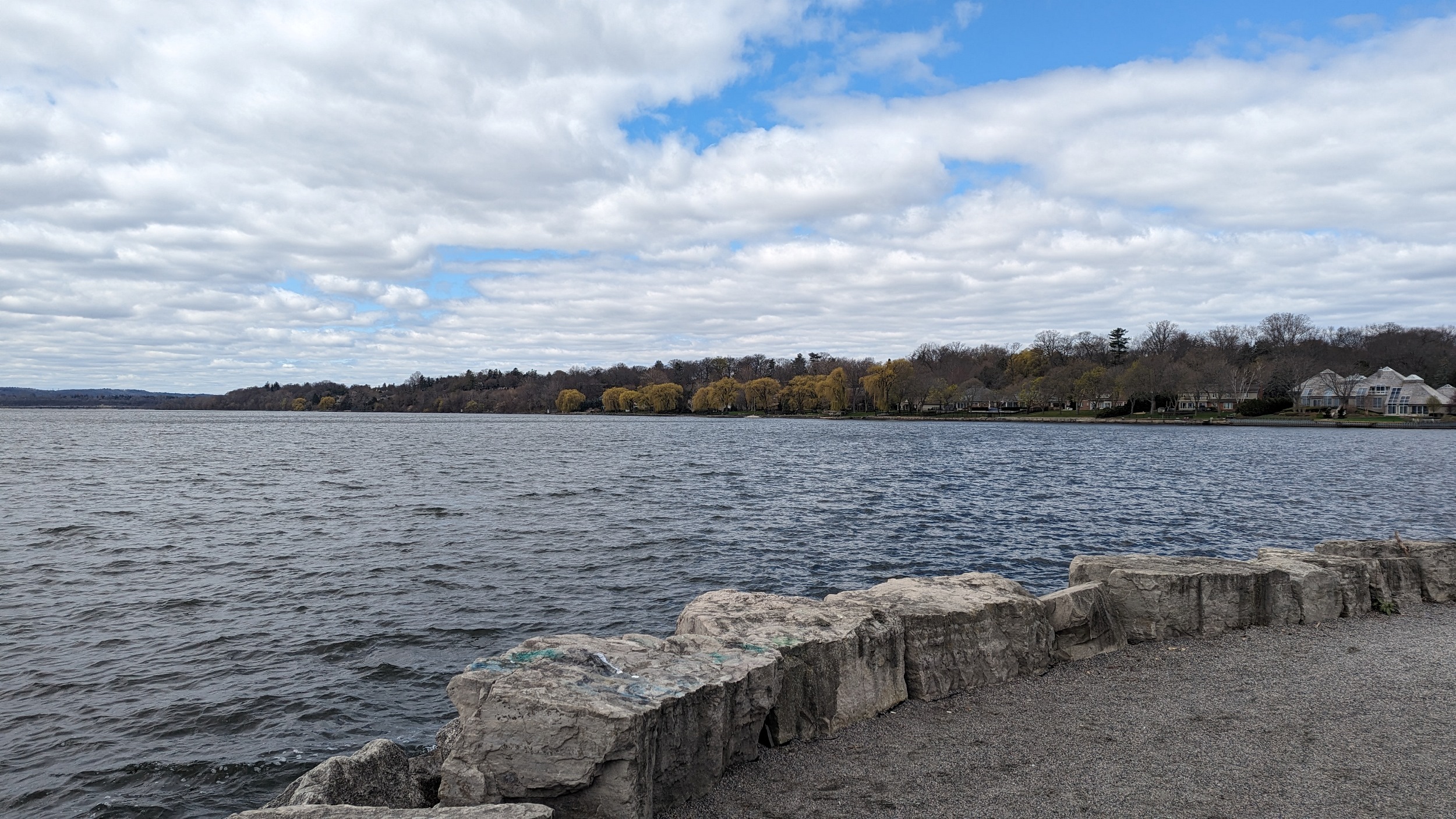
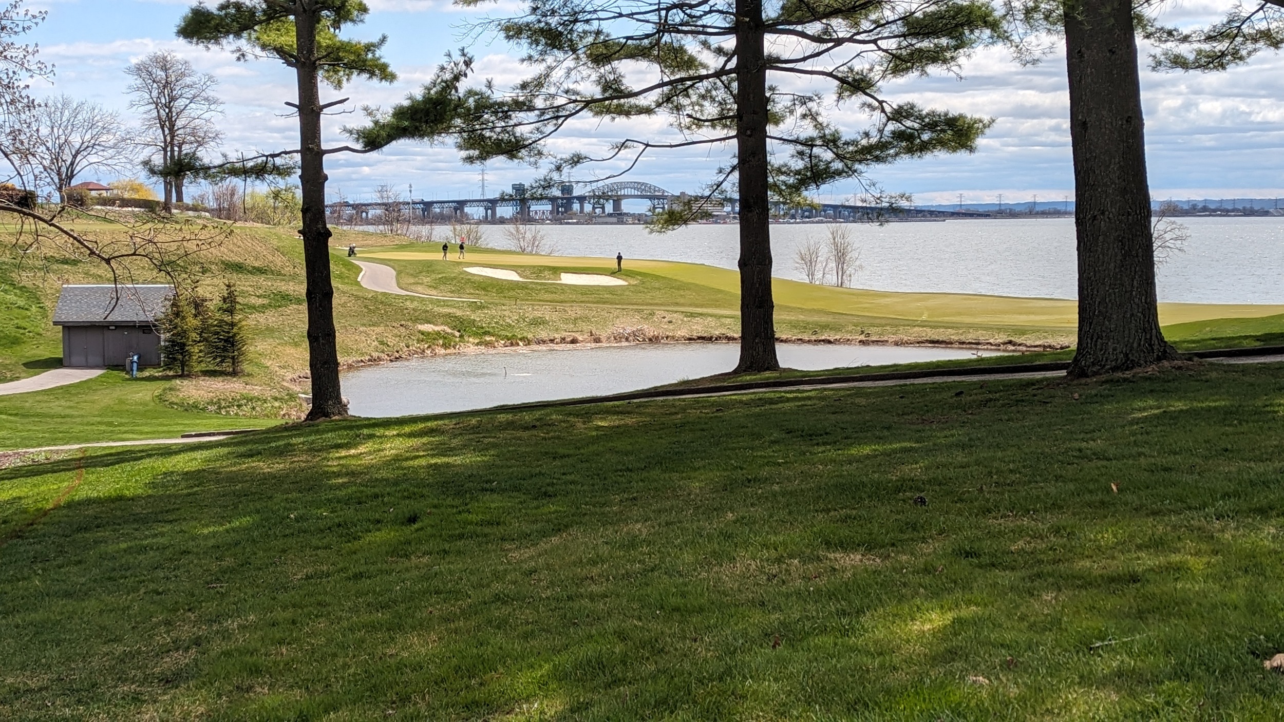
After wrapping around the pond, you’re left walking on the shoulder of the road. There’s a quasi-looking drainage spot, as well as Bayshore Park. Otherwise, it’s all private property, with teasing glimpses along creek confluences and the south end of the Burlington Golf and Country Club.

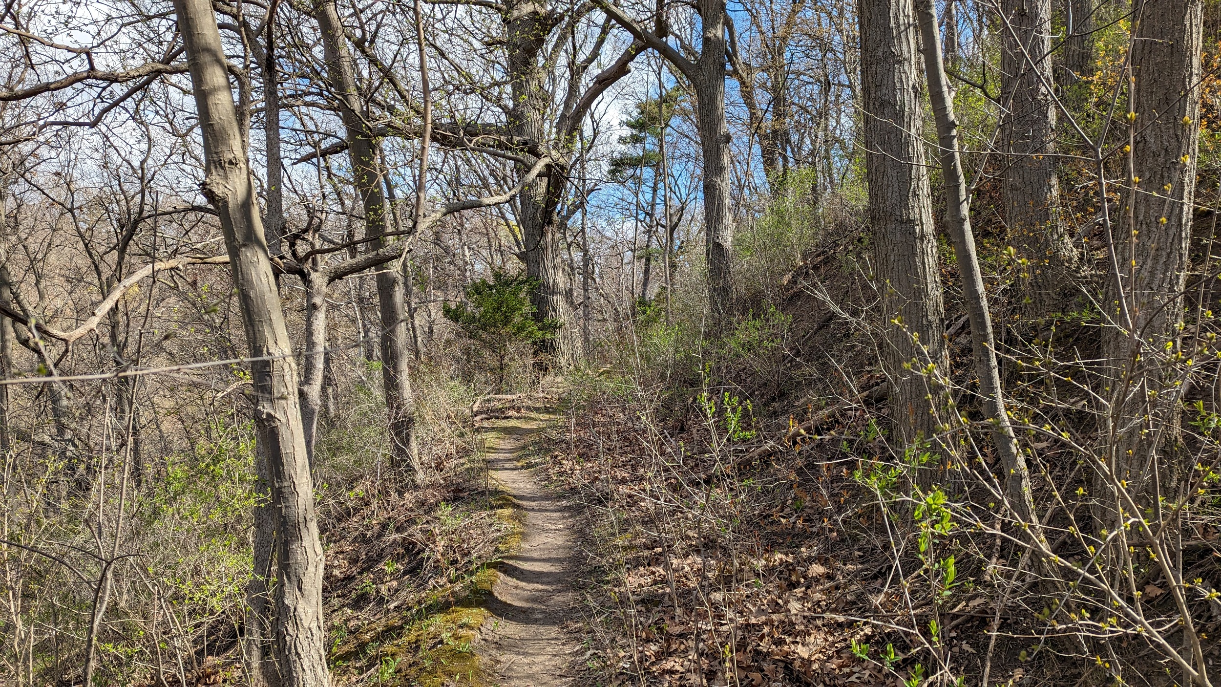
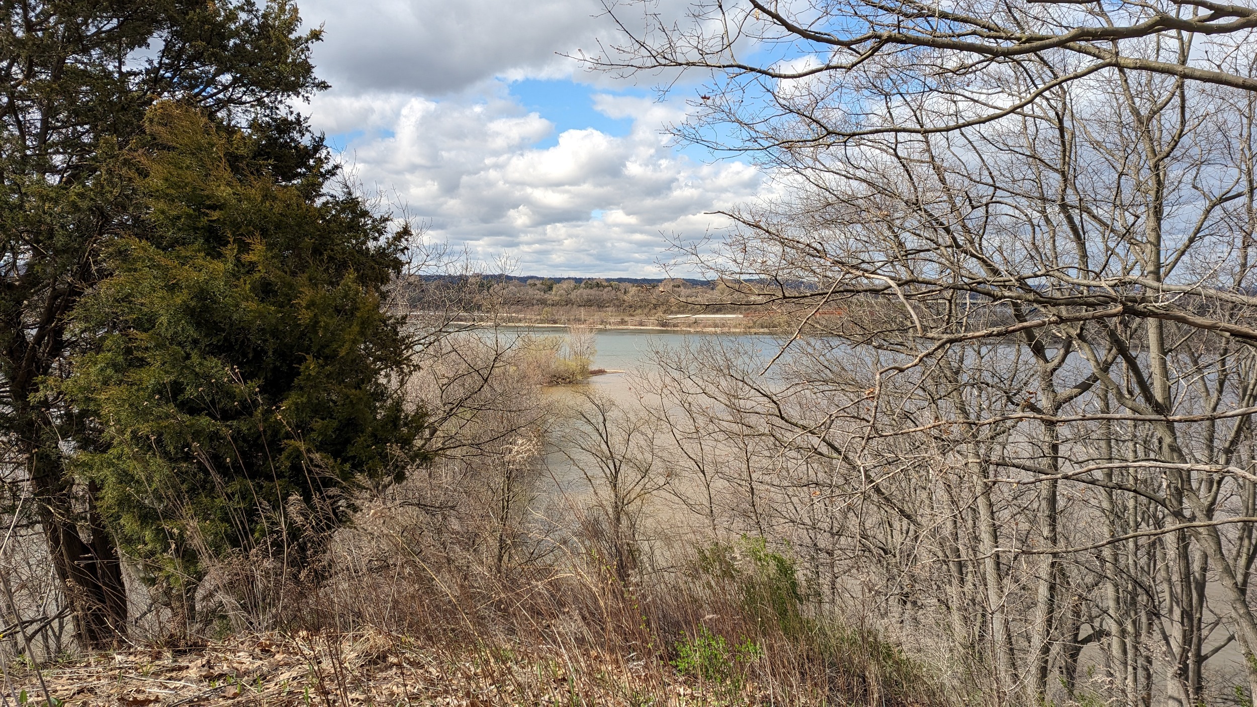
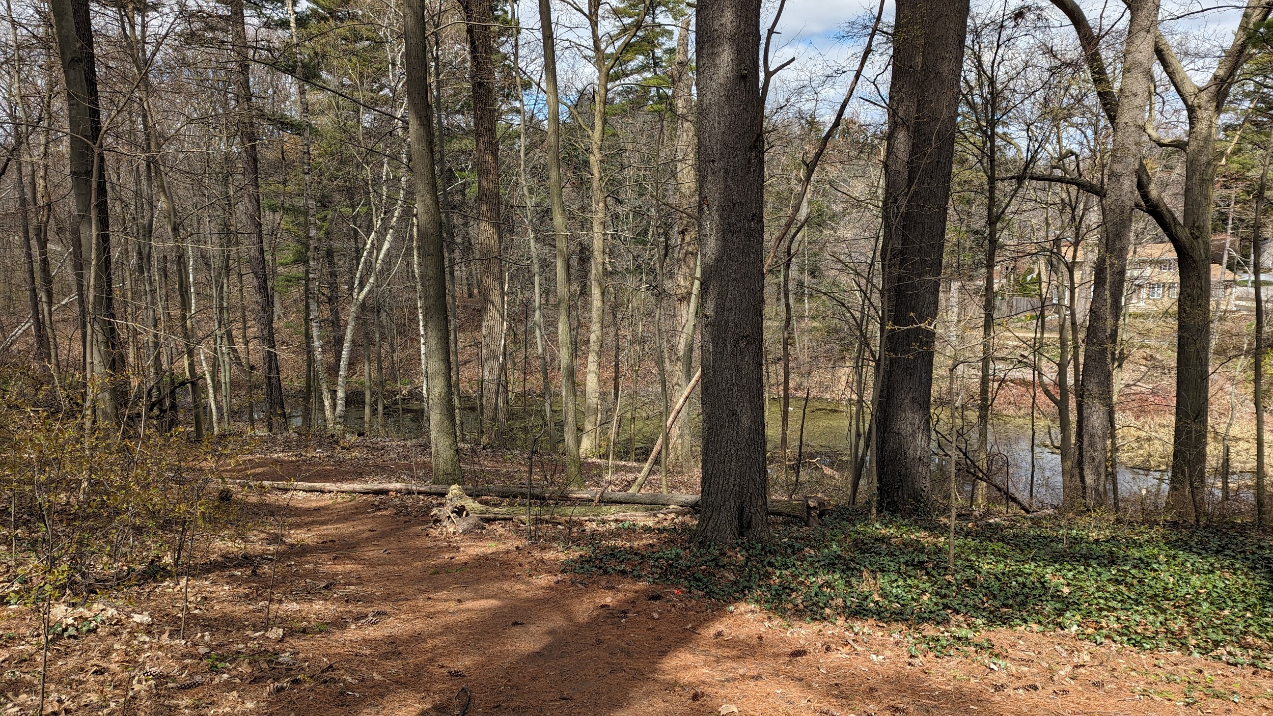
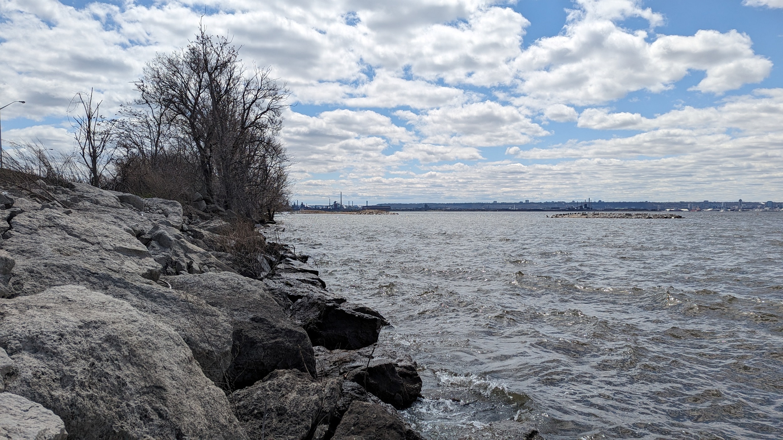
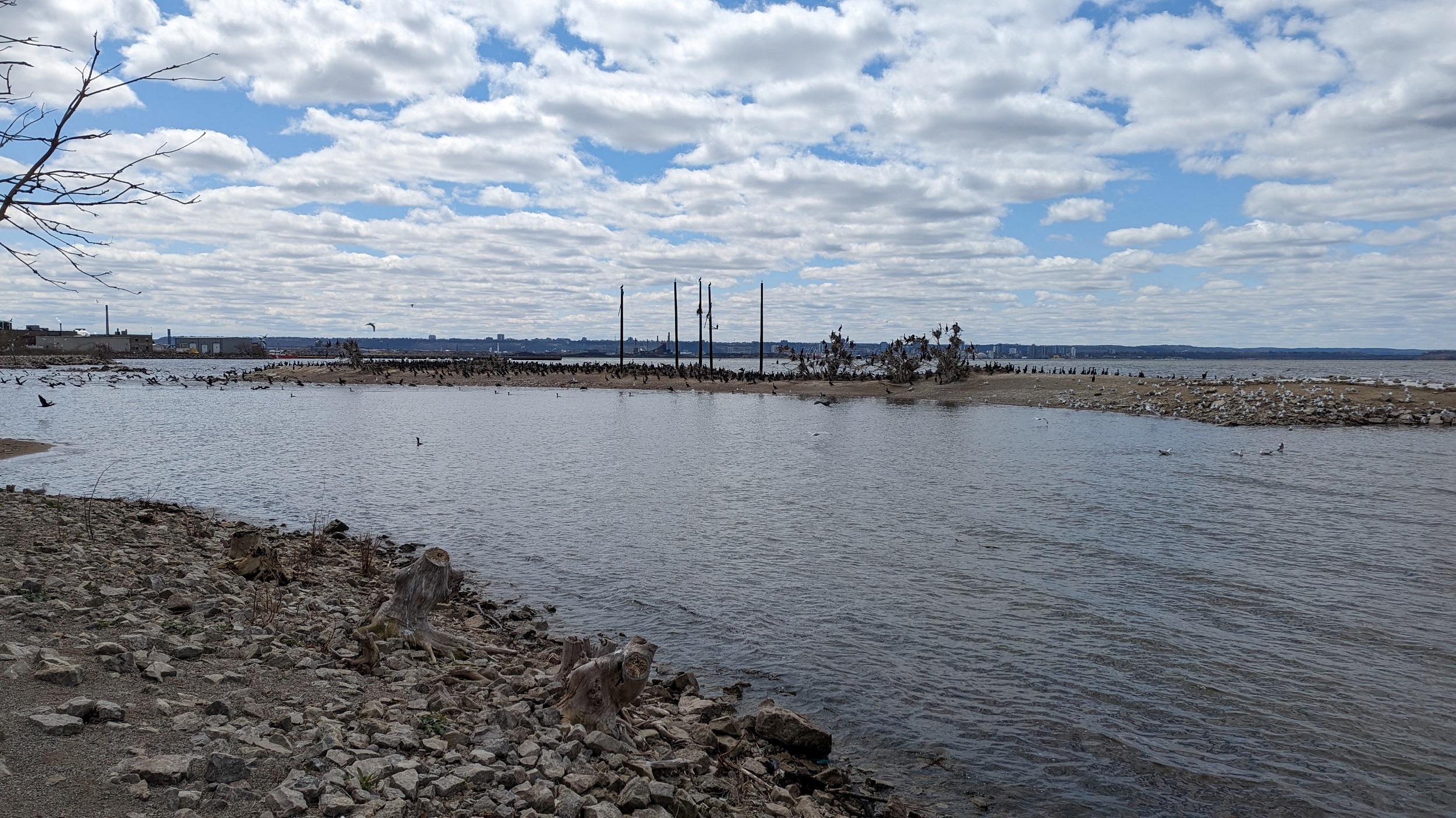
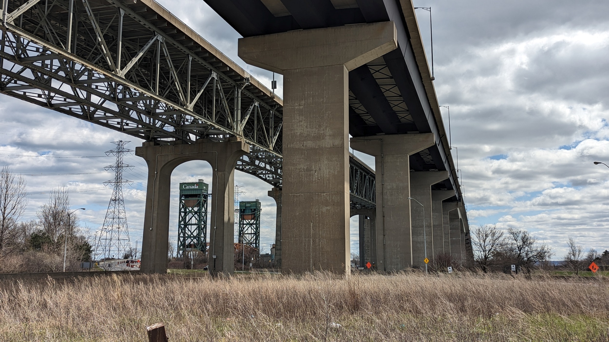
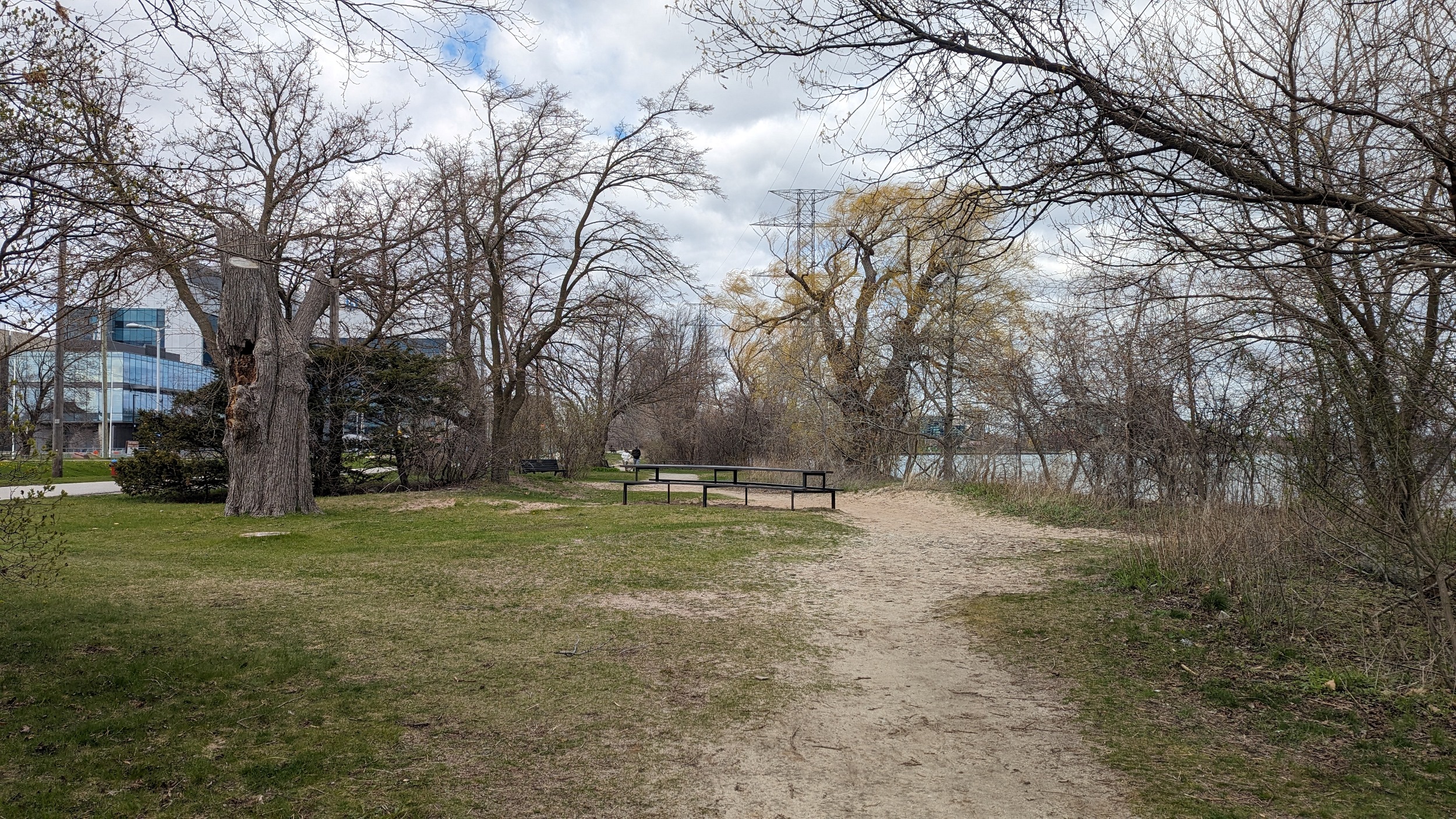
I sometimes go in unconventional places to pull back the curtain on underappreciated and neglected places. One of those places was along Eastport Drive and the Burlington Skyway. I waded through tick-infested grass and hoping along armourstone to get to a wildlife area north of the Canadian Centre for Inland Waters. It’s a shame this place is so isolated.

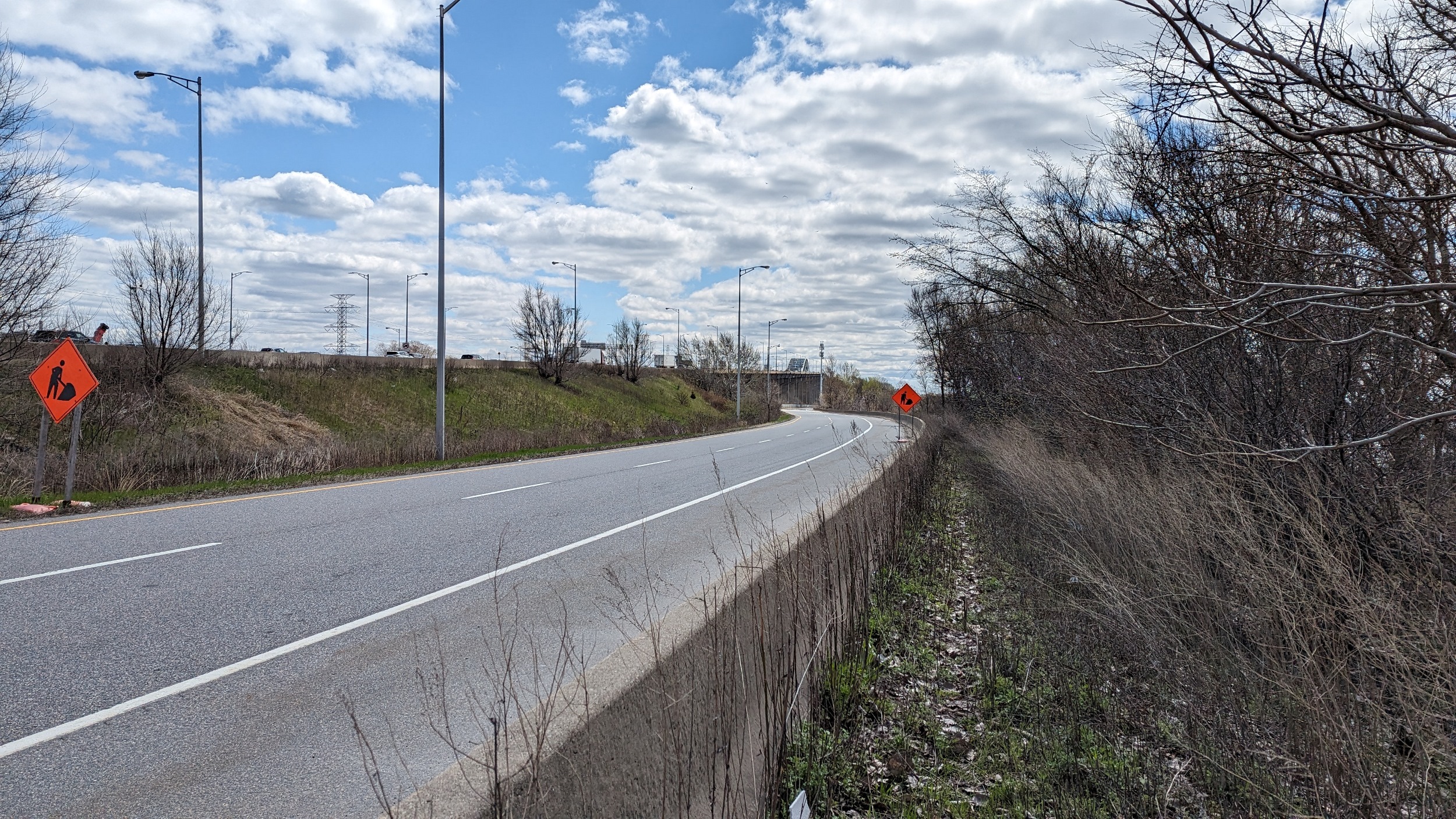
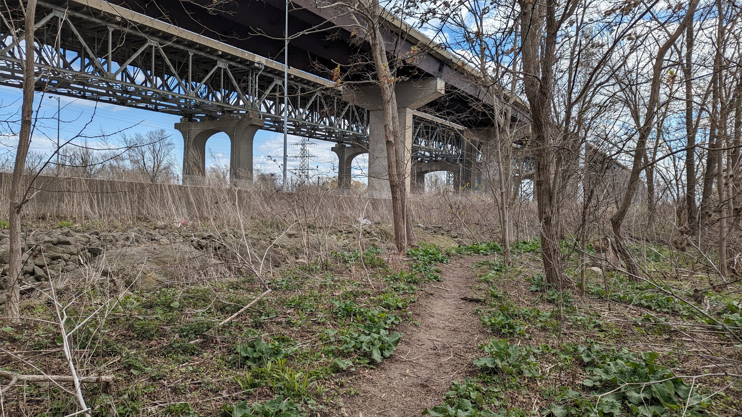
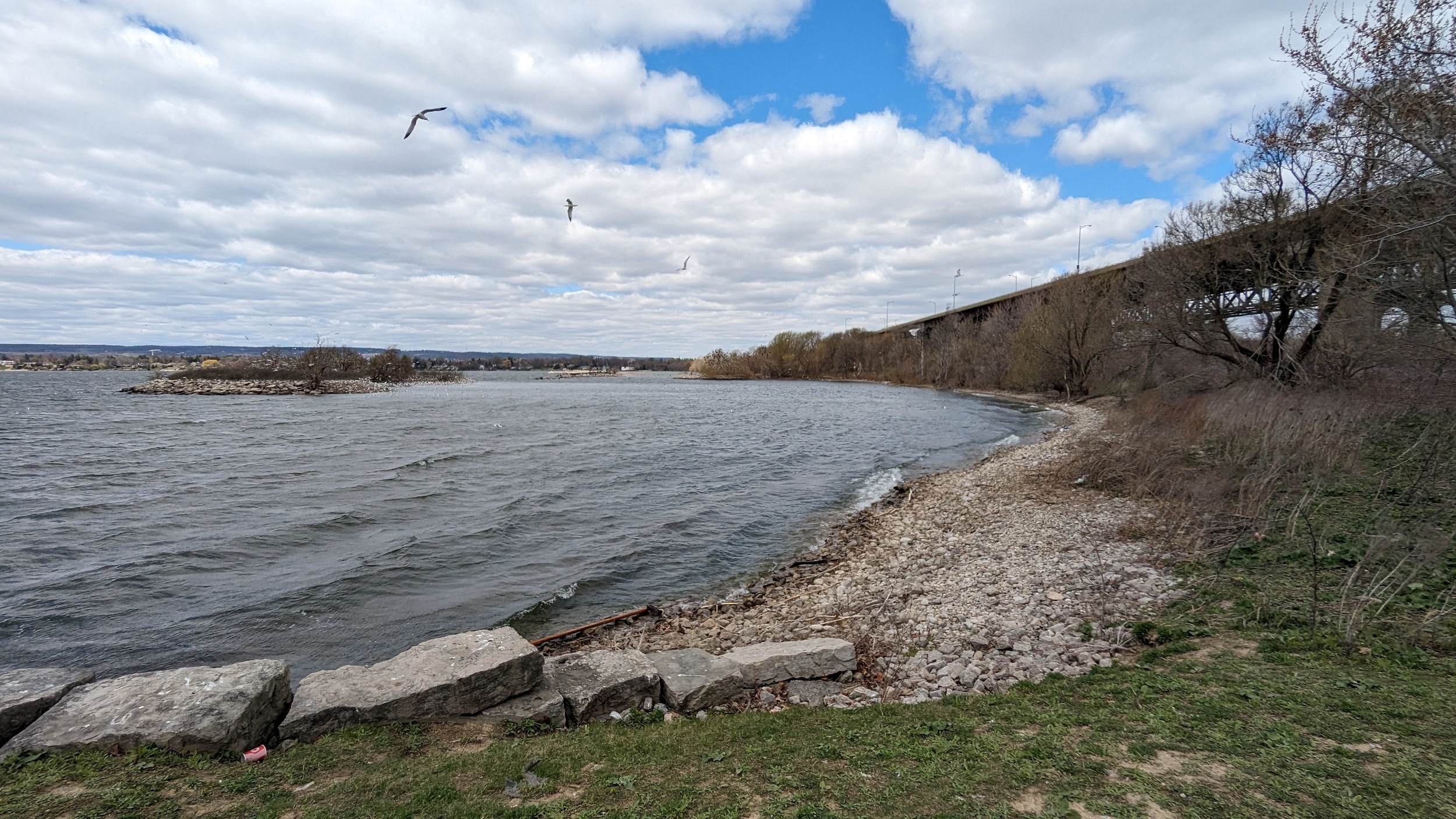
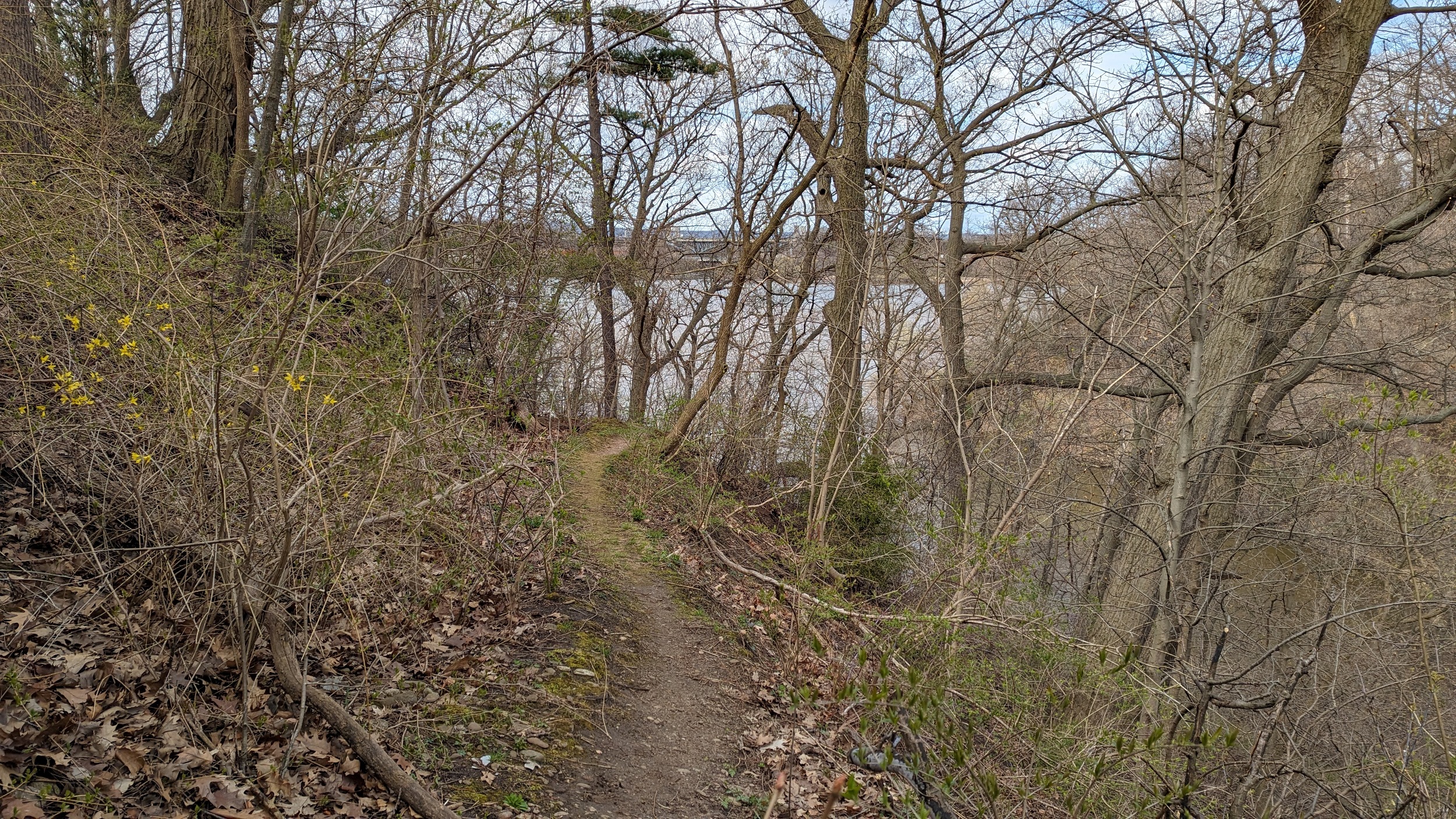
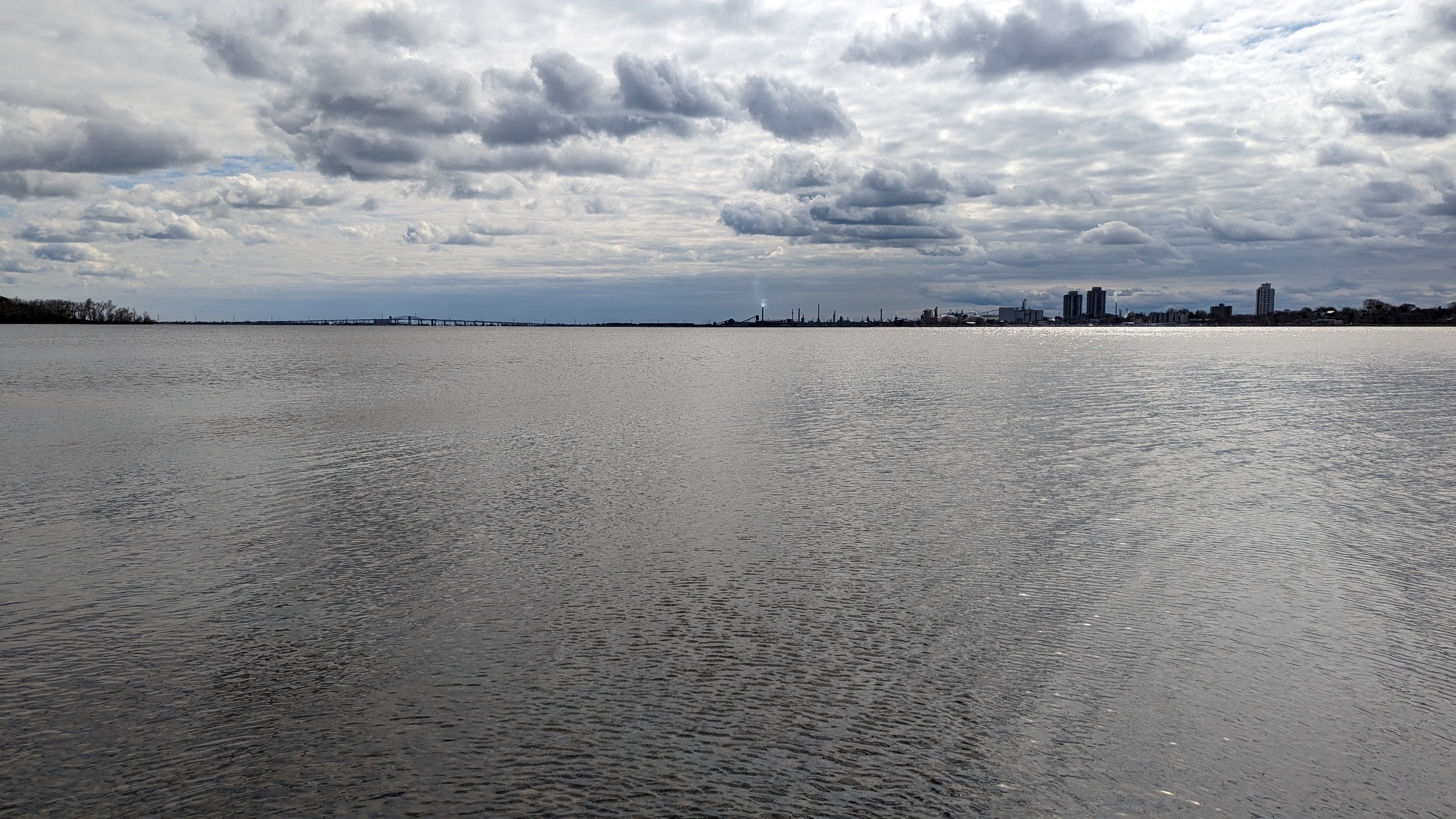
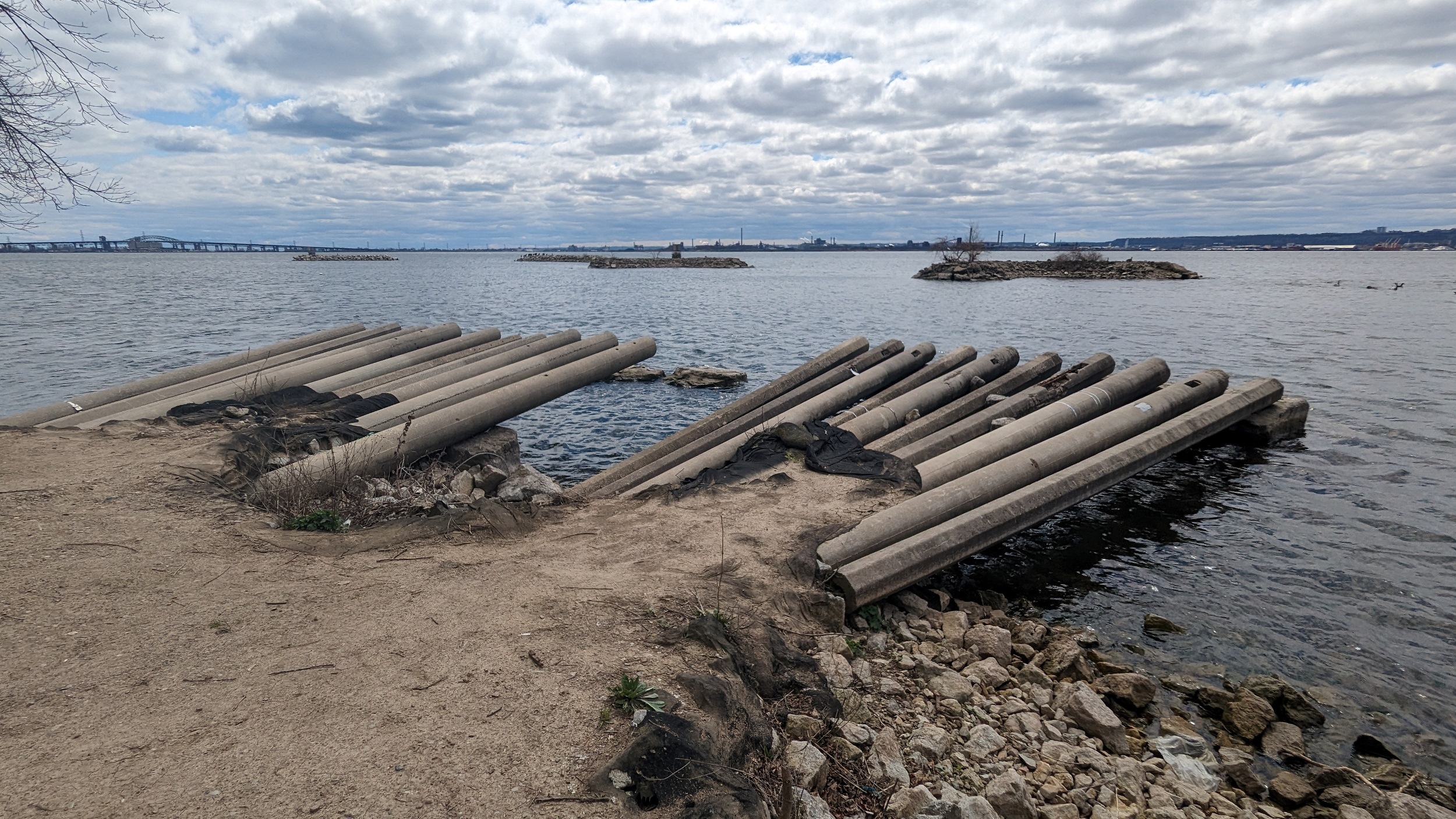
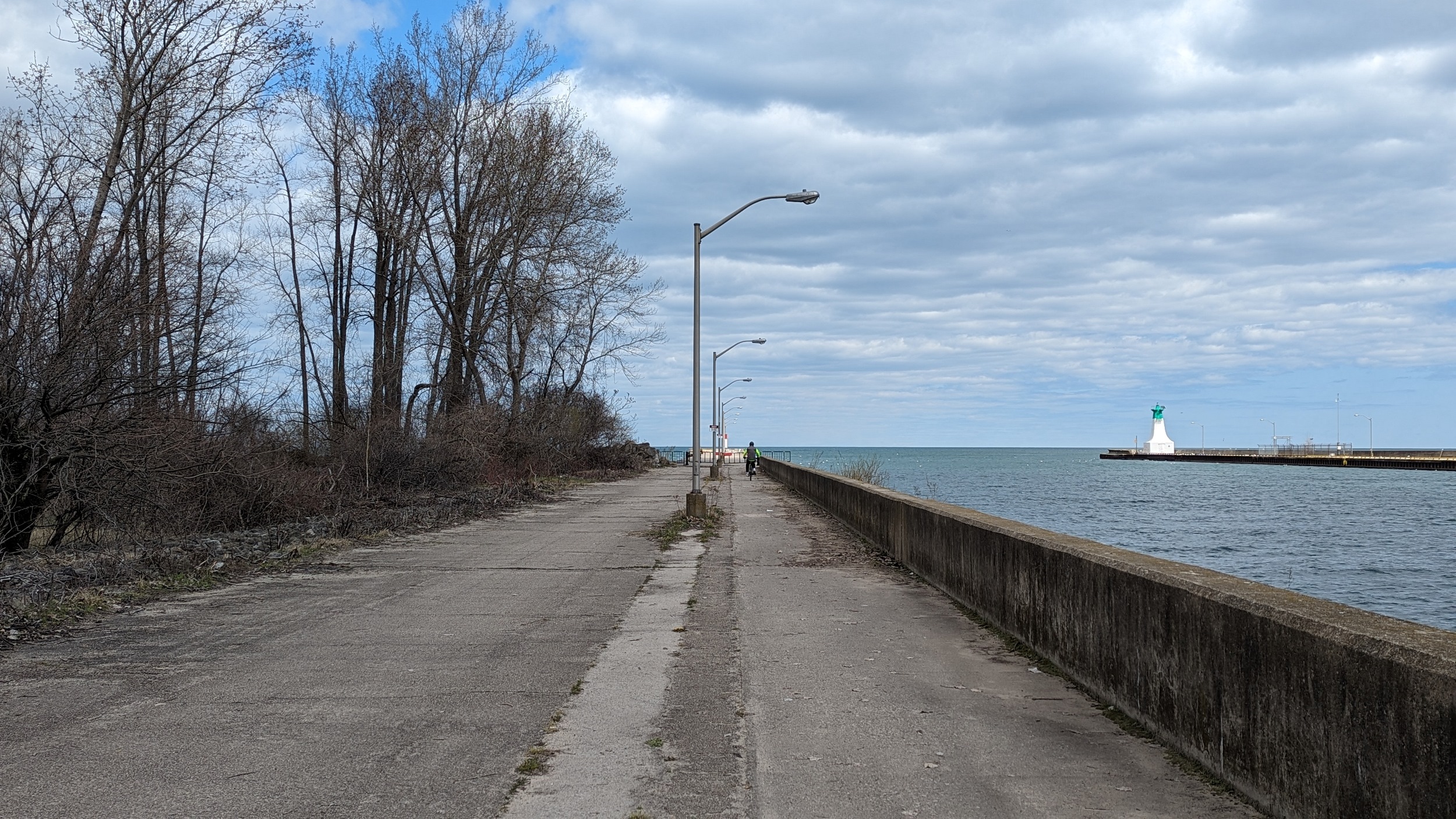
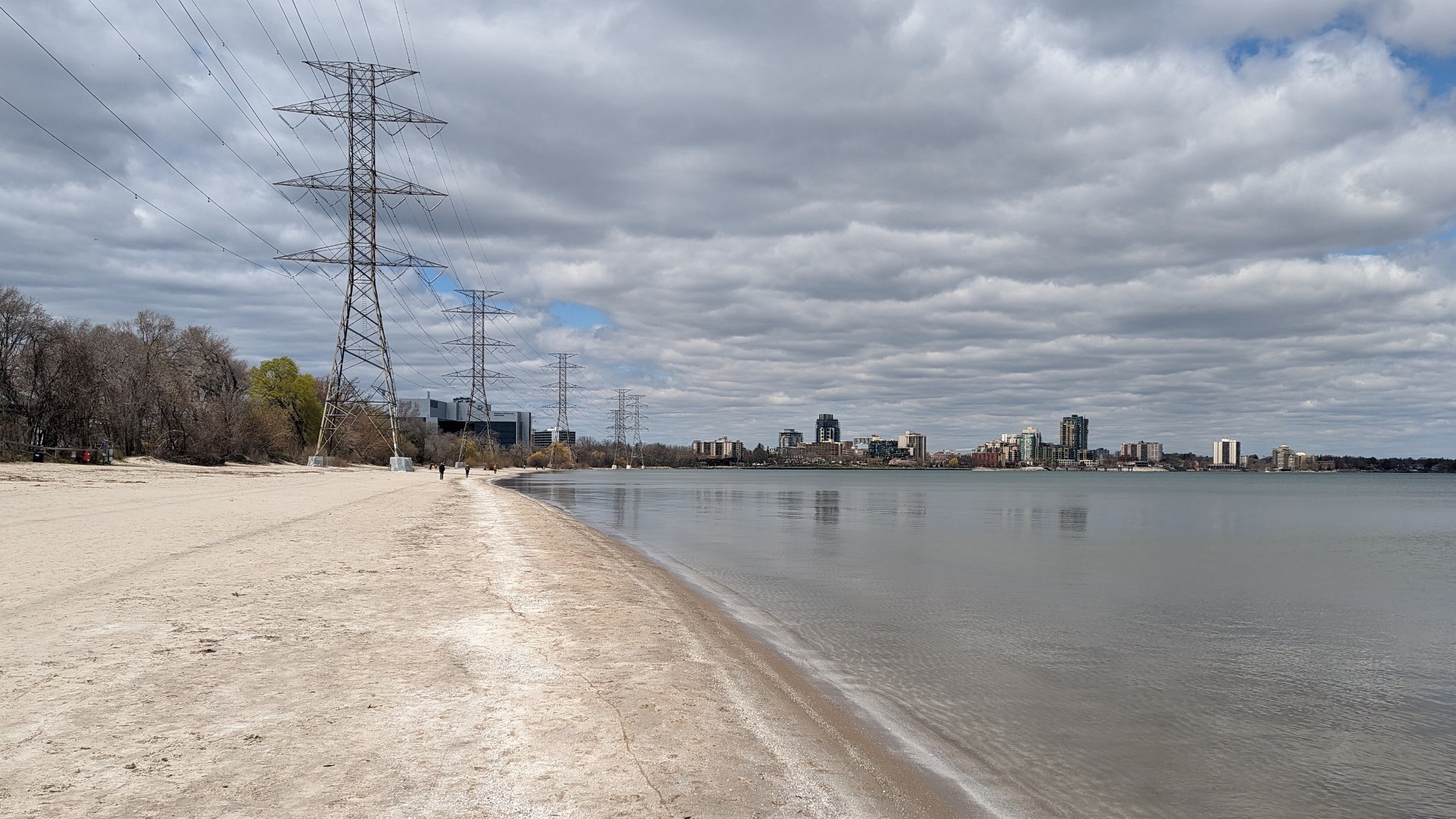
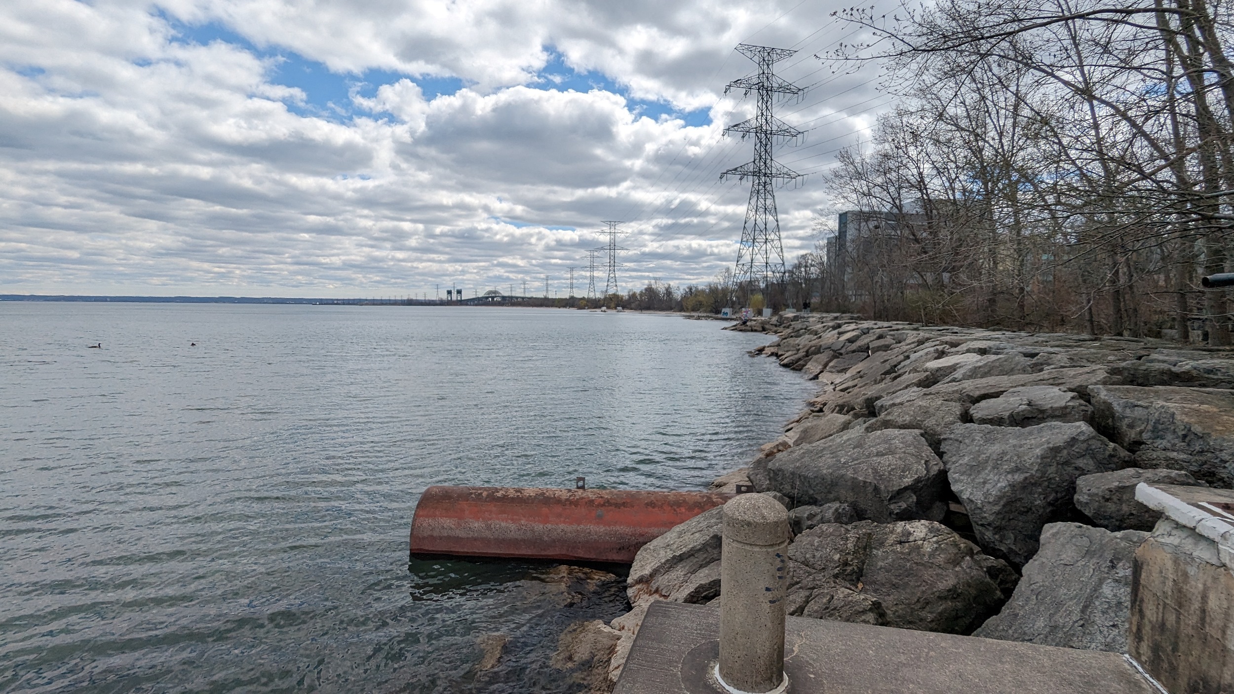
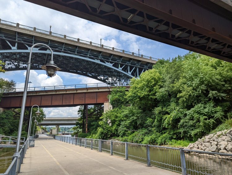
Under the behemoth Skyway, up to the Burlington Canal Bridge, and along the north pier. The feds have blocked off a portion of it. So it’s back northwards along the beach to downtown Burlington.

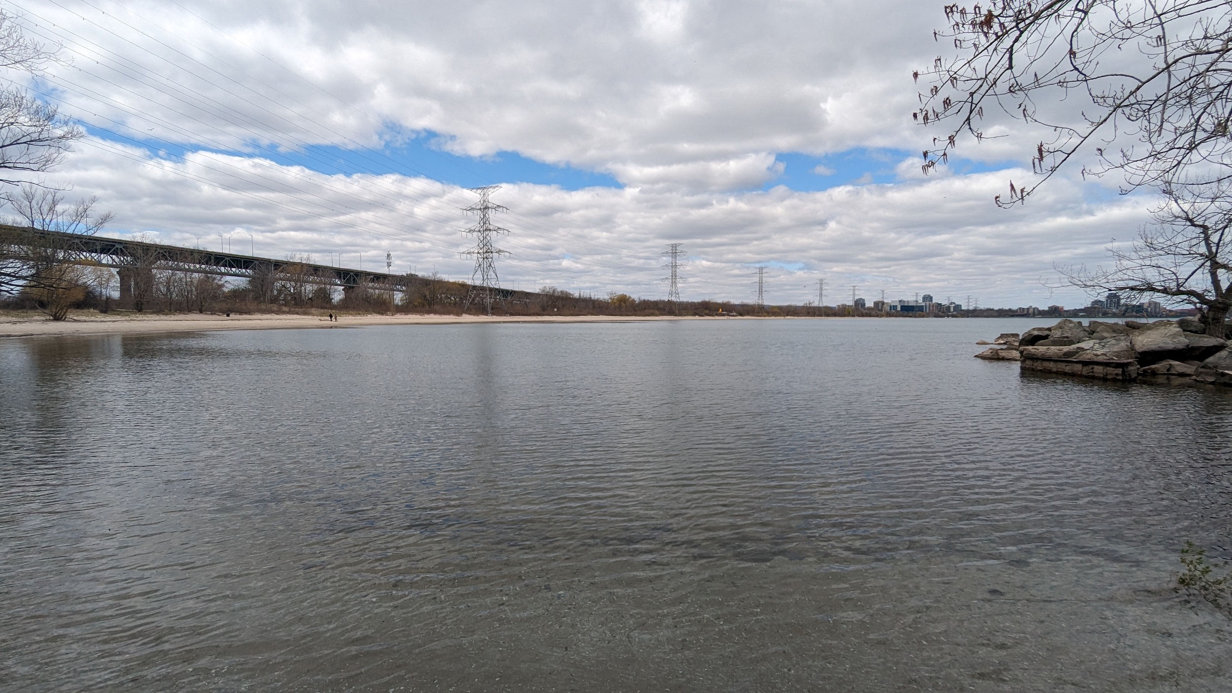
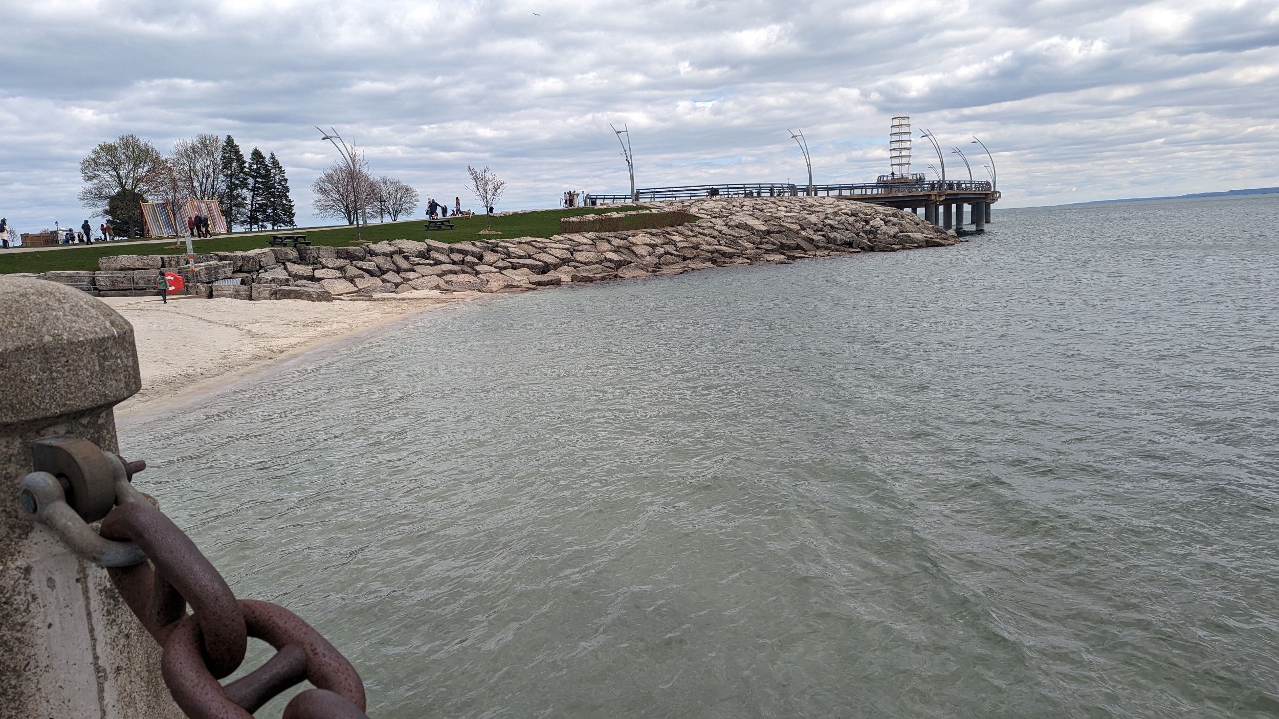
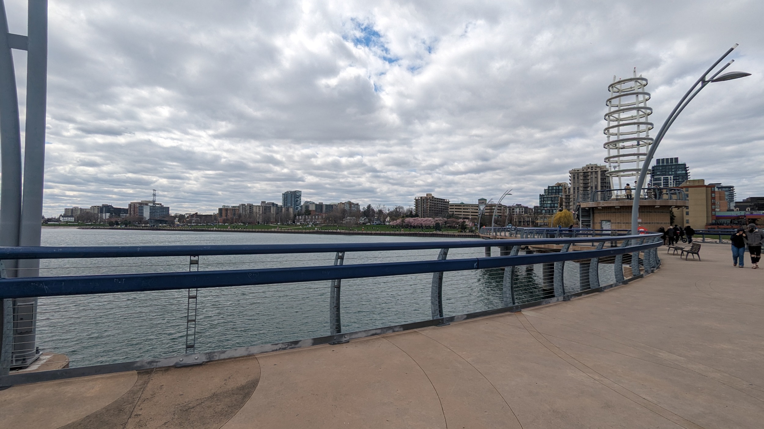
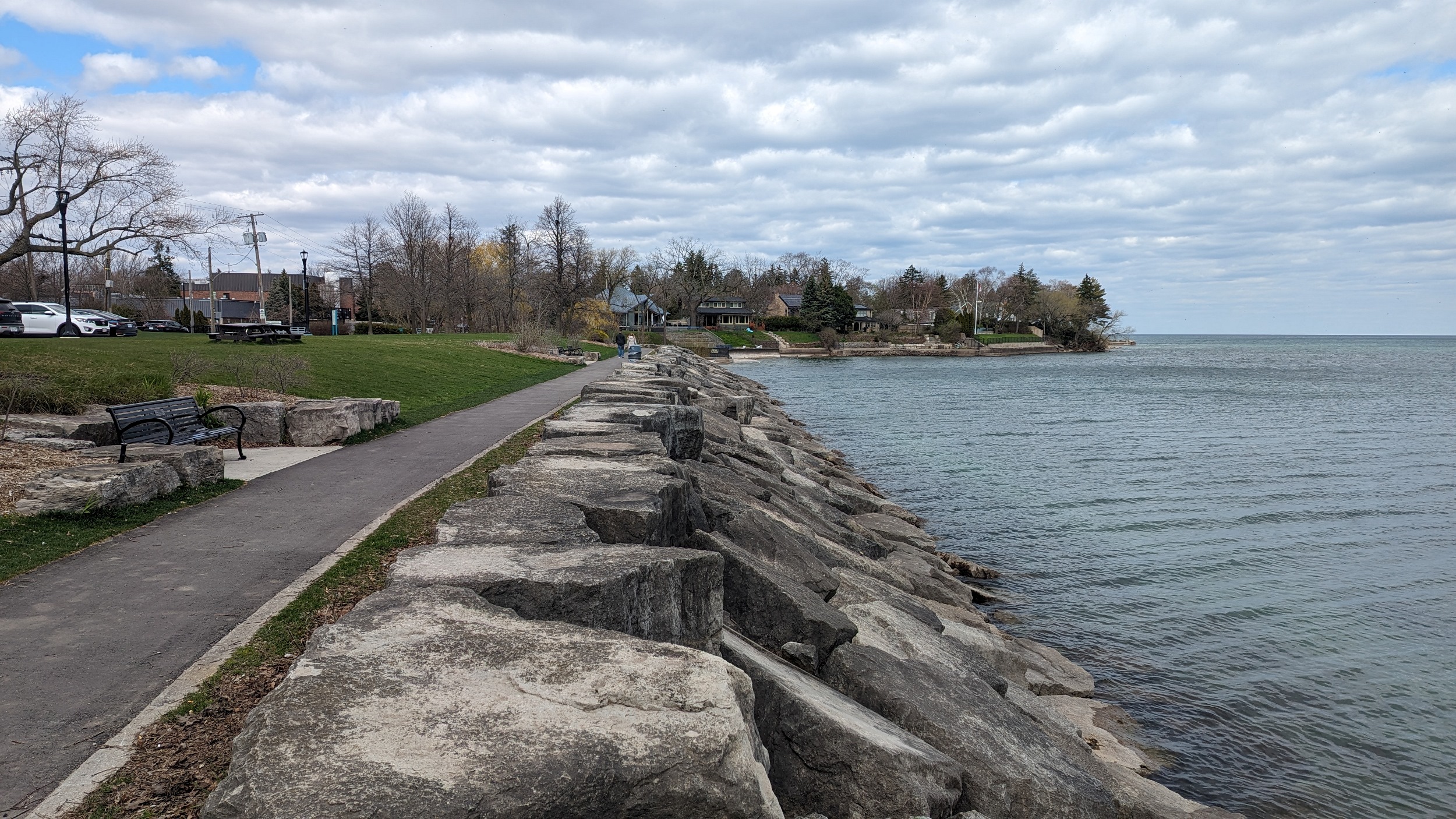
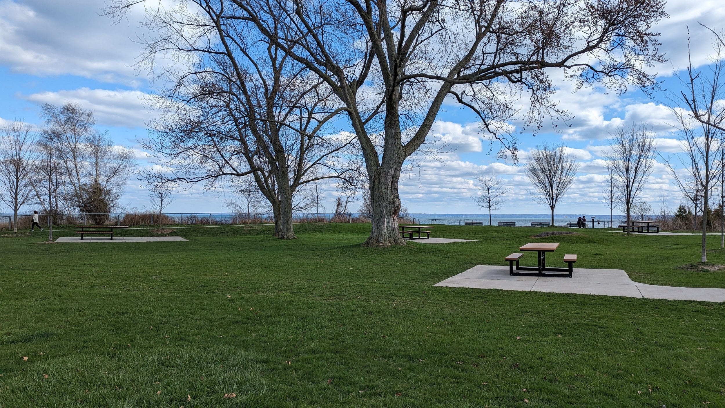
This is a great public space. The beach, sandy shaded spots, a paved trail, then an urban promenade with restaurants, a playground, public art, and flexible use for concerts and other events. Burlington has killed it making a great downtown public space.
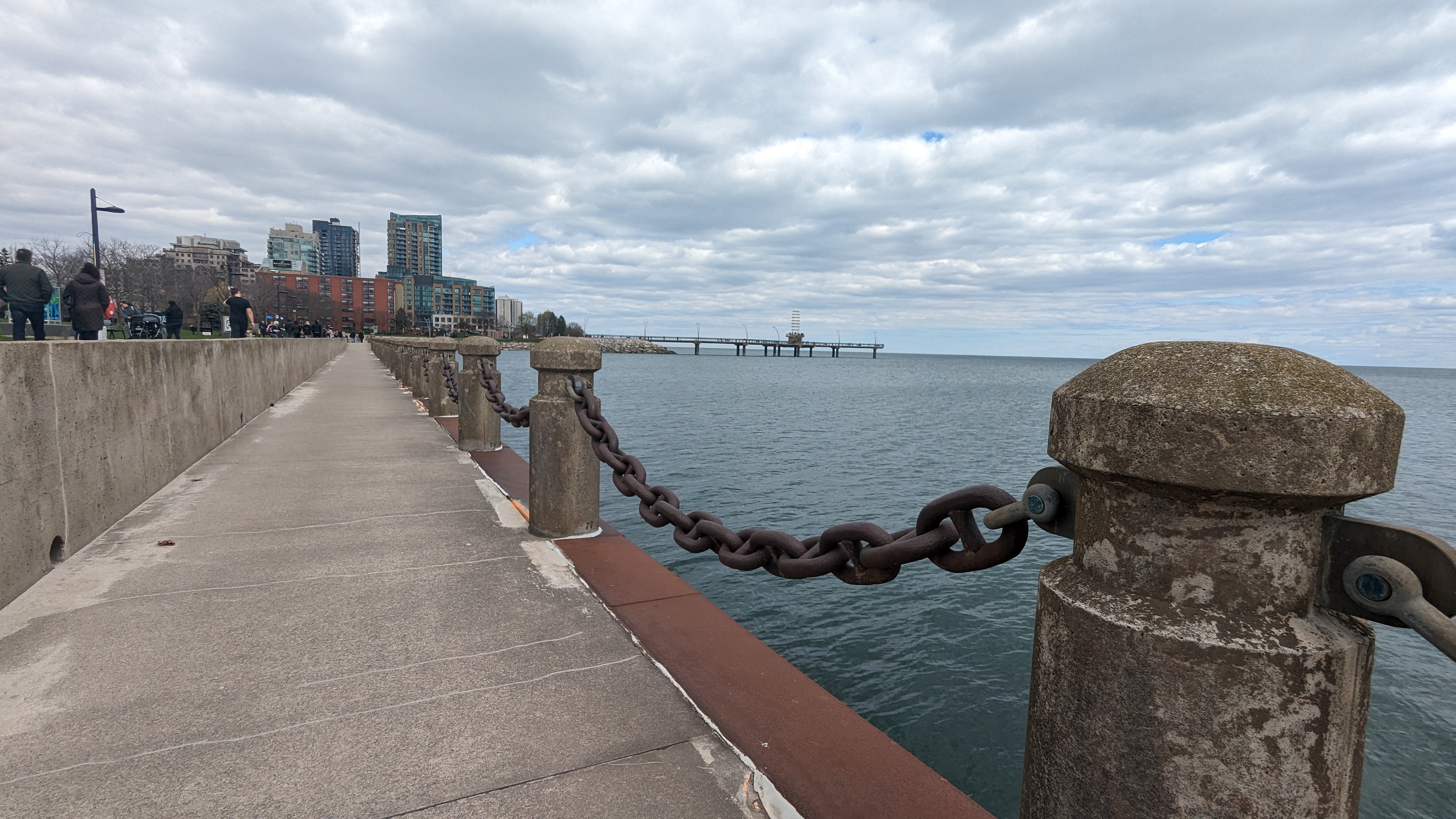
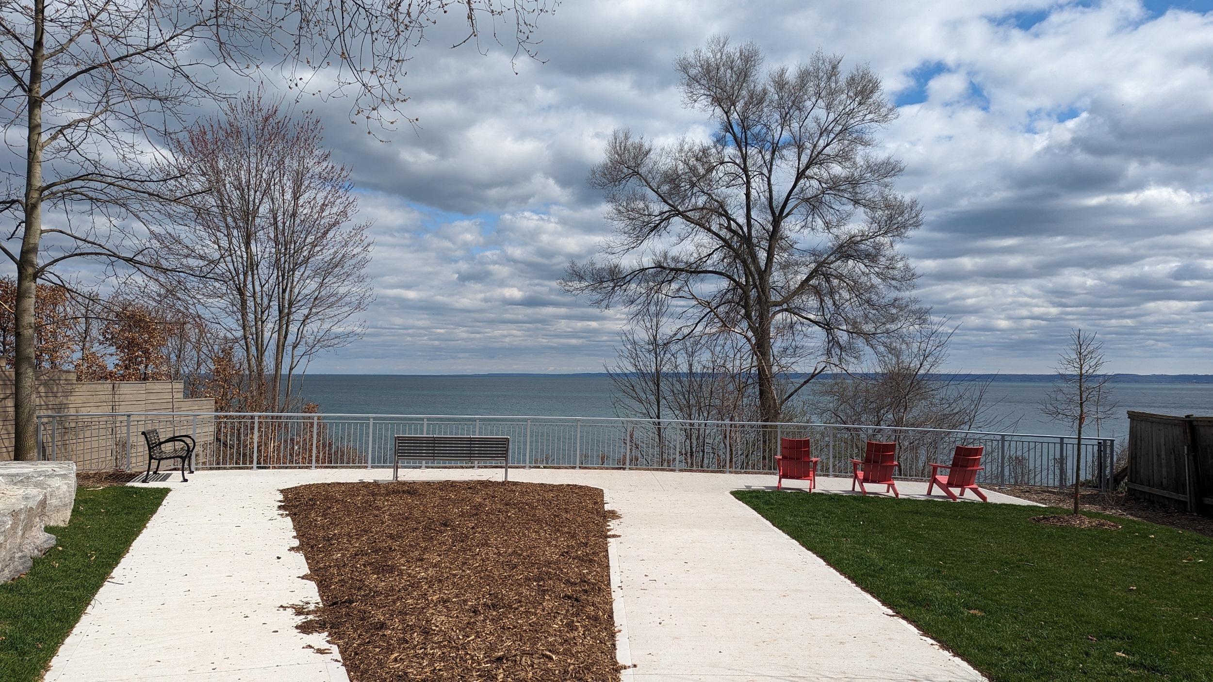
Nice views along Brant Street Pier. Then the public realm has been recently extended east along a new waterfront development. Makes for a great connection to Lakeshore Road.

Now the long slog past many private properties. The parkland east of downtown Burlington is limited to some roadway rights-of-way, and some slightly bigger parks.
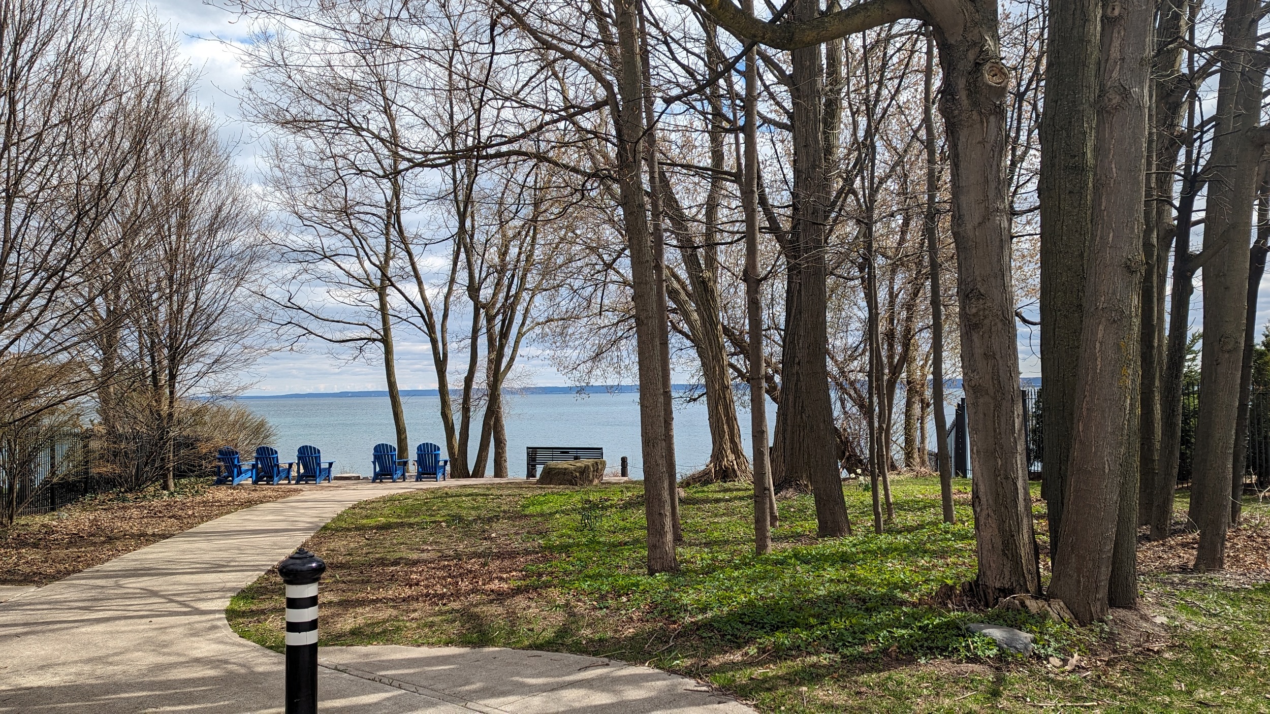


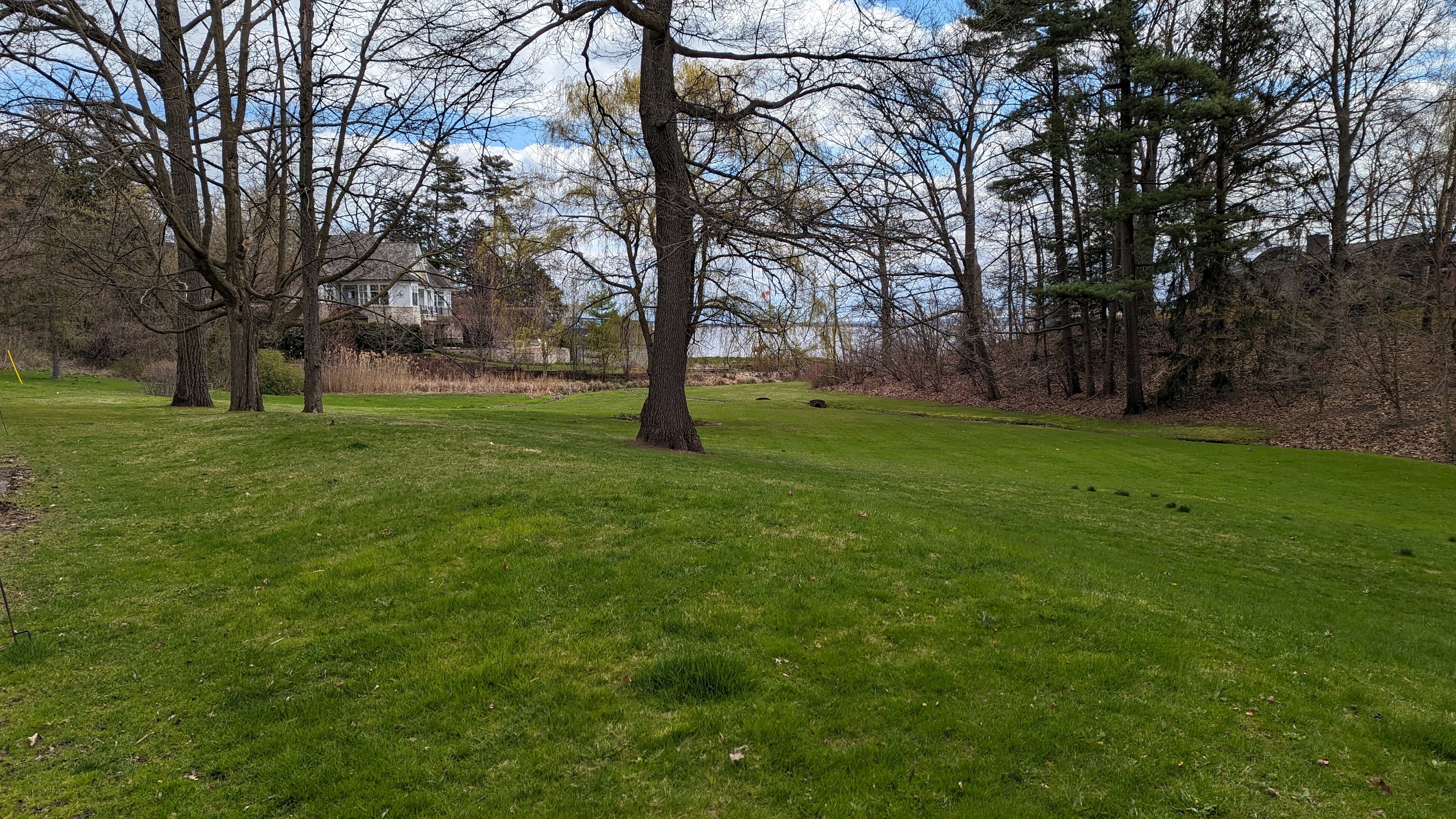
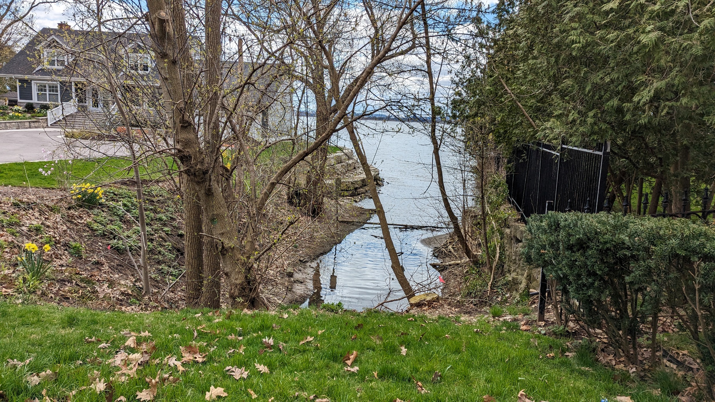
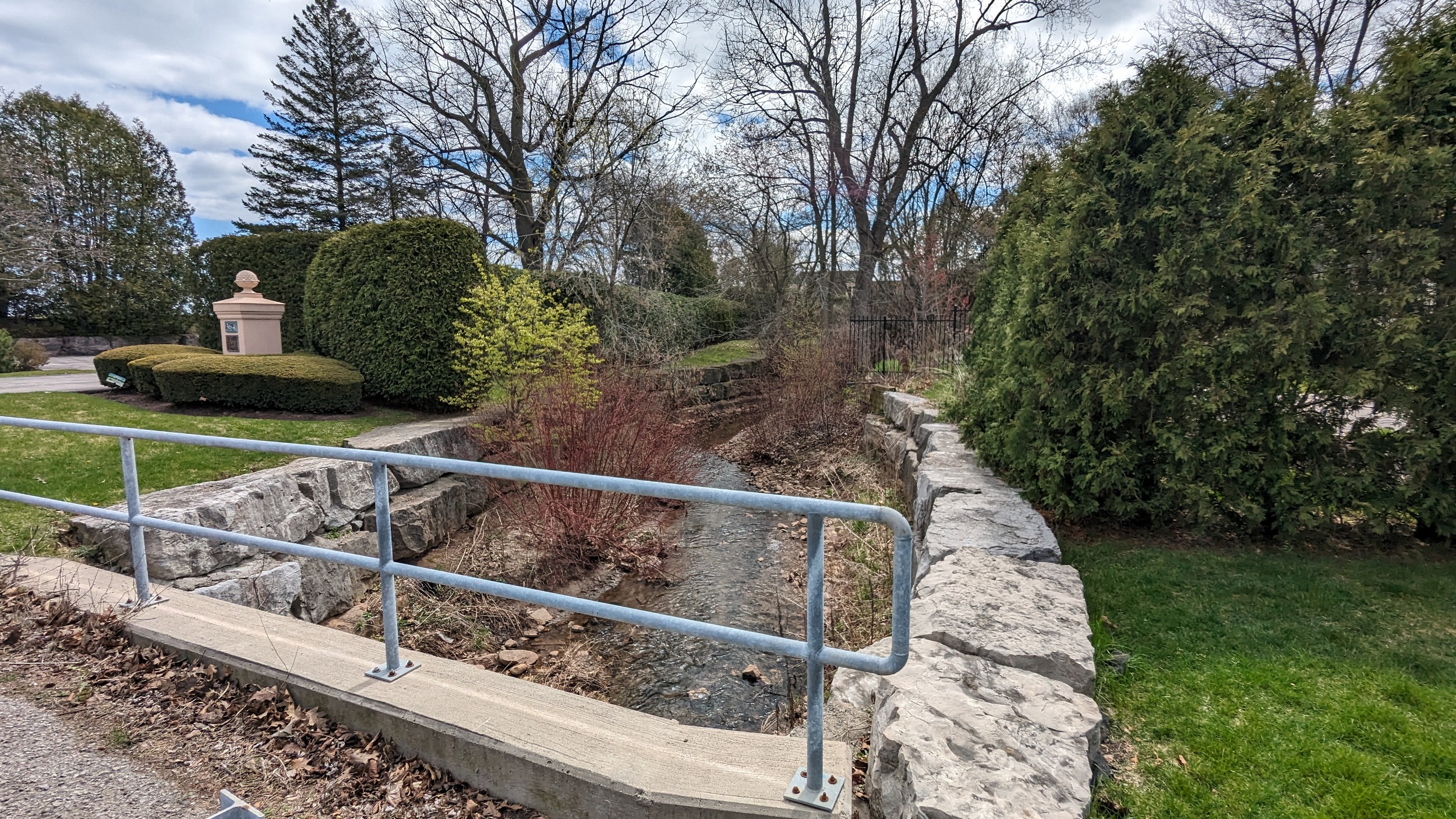
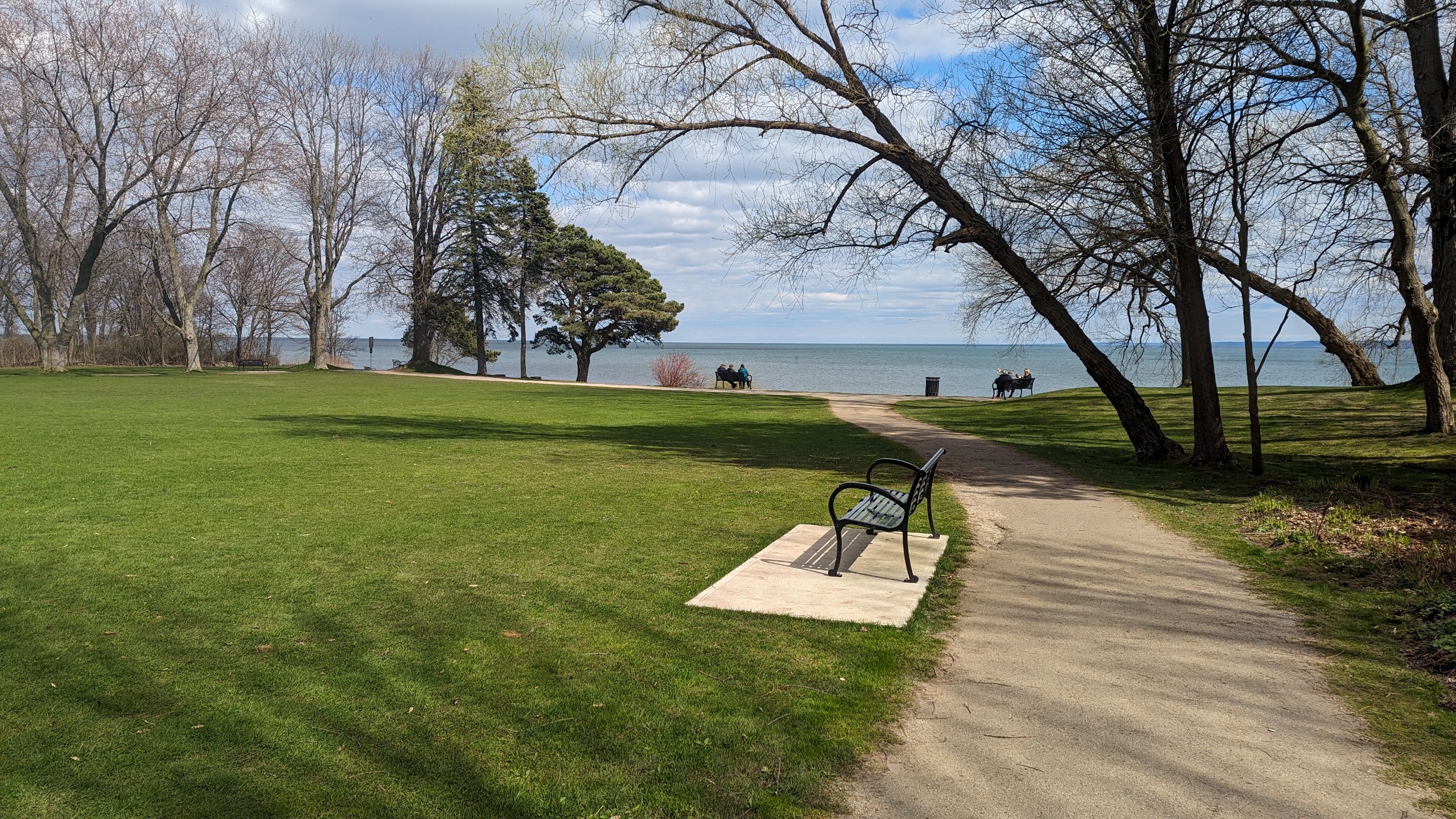
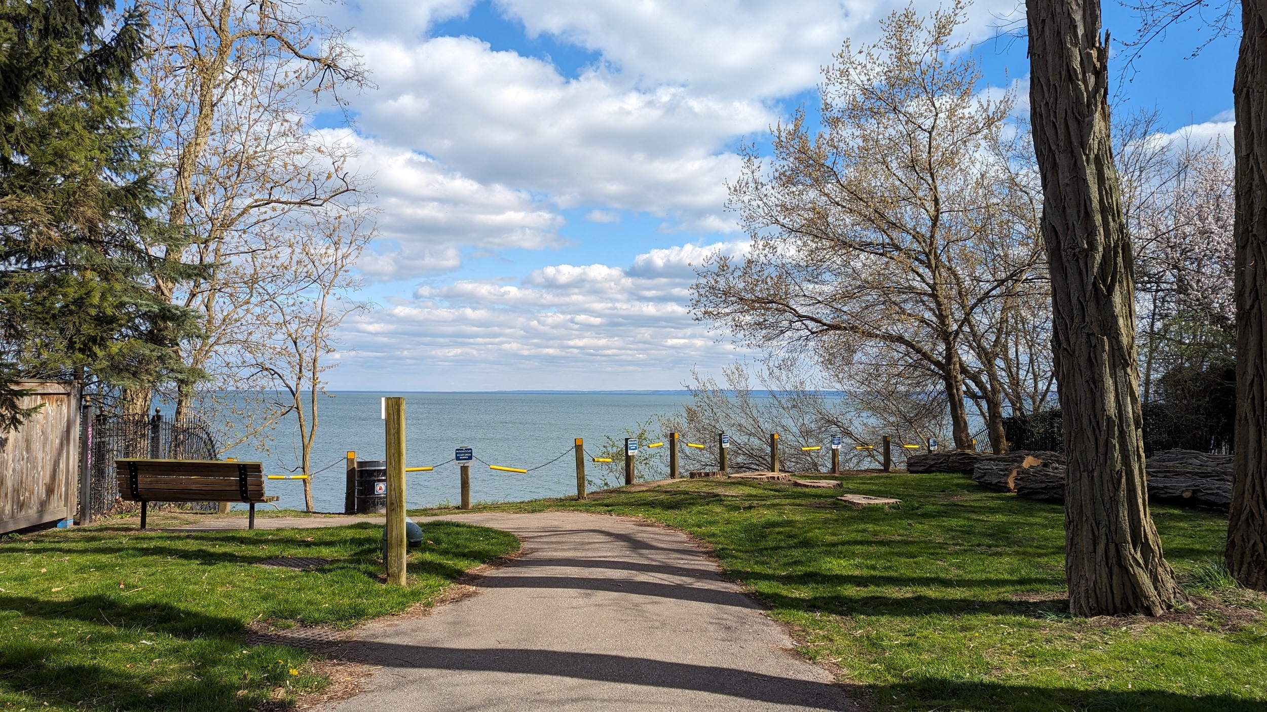
Another “window to the lake” at Walkers Line (cause I guess that’s all these neighbourhoods can afford to give to the public), and then some nice space at Paletta Mansion. This encompasses the lower reach of a creek as well. They had washrooms that were open and very clean, so bonus marks.

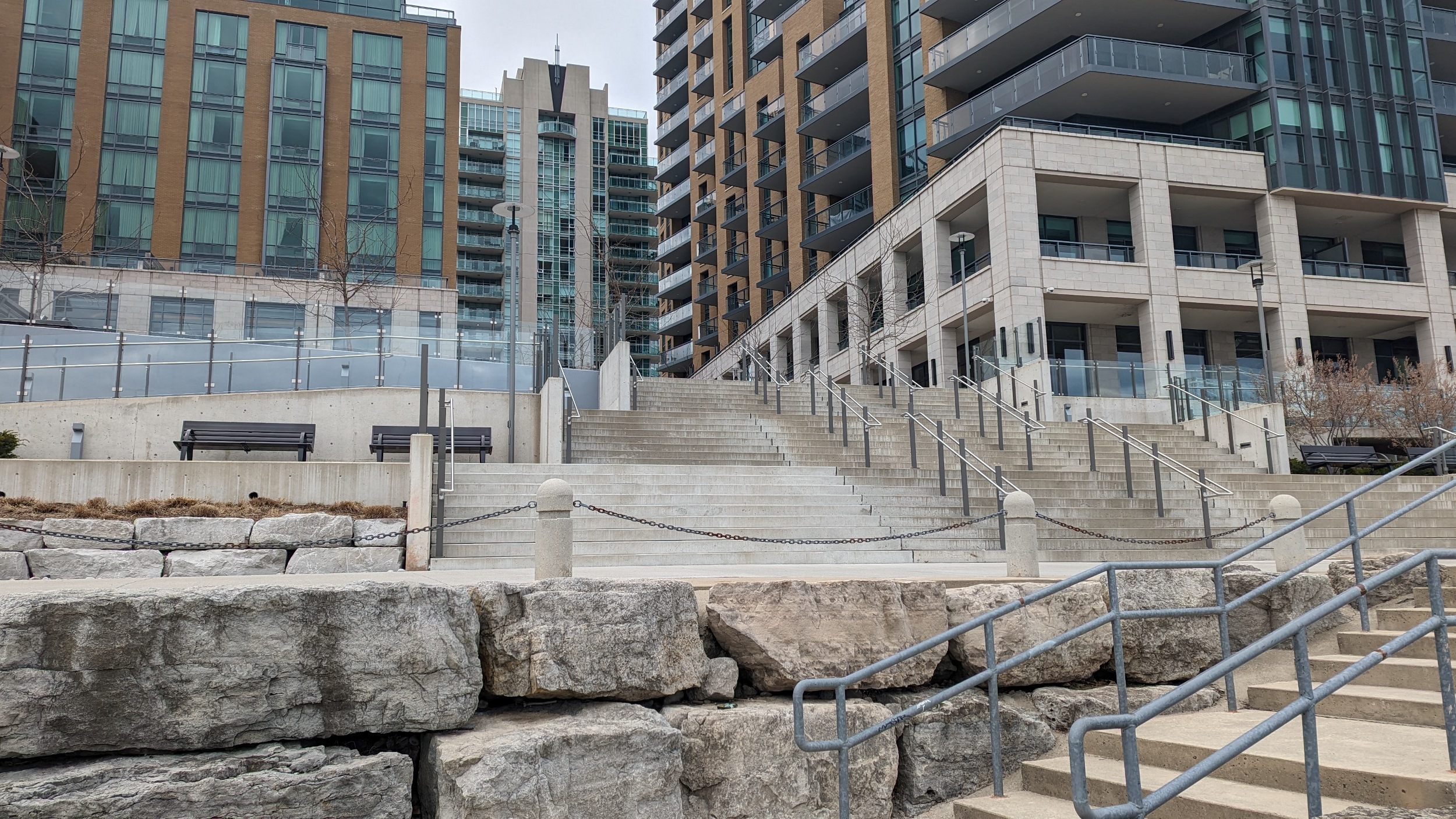
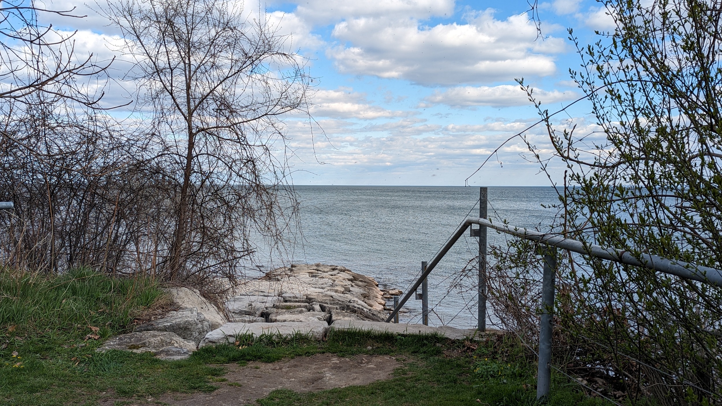
One more ‘lake window’ at Appleby, then I arrive at Burloak Waterfront Park (Burloak, as in the border between Burlington and Oakville). This is a great park, I really like the multiple stairways down to the water. Very nice. But that’s a wrap on today’s walk. Thanks for joining me.

Date: April 21, 2024
Length: 29.0 km
Type: Shoreline

Related Walks
Shoreline to the south
West Harbour / South Cootes
Parallel railway corridor to the south
Hamilton Mainline