Back in 2017, I started my first Metroscapes project, looking at the public and private access to Toronto’s shoreline along Lake Ontario. But when I moved to the Tri-Cities, it wasn’t a Toronto project I could easily adapt because, well, it’s not on the shore of a lake.
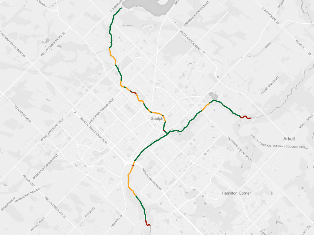
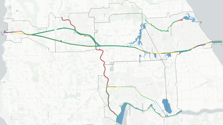
A few years have passed, and I have now started migrating from hand-tracing on web maps to using GIS. This unlocks some precision and ease to now create a new shoreline-like project using a different analogue: major rivers.
Now on the shoreline of a major city centre (like Toronto), the ownership of a strip of shore is a pretty good proxy of public space and enjoyment. That’s not necessarily the case for riverbanks of medium-sized cities surrounded by rural townships. Ownership has to be looked at in combination with access; whether you can walk or bike to the river’s edge to enjoy it.
Check out the links below to explore the accessibility of major riverbanks in your city.