It’s been half a year since I picked up from Toronto, and moved to the more affordable pastures of Kitchener-Waterloo-Cambridge (“the Tri-Cities”). I’ve covered less than a tenth of what I walked in the T dot, but it’s given me enough time and distance to reflect on how these two regions differ, how the metroscapes have changed.
The History
Toronto was founded as the Town of York in 1793, and has since been a focal point for development as the capital of Ontario, and an economic epicenter of the country. Waterloo County (the predecessor to the Regional Municipality of Waterloo) was settled around the same time, but Kitchener served as the administrative a rural seat for the area. It would be the mid 19th century before they became towns, and the 20th before they were cities.
As such, Toronto has deeper rooted intersections between the natural and built environments. This time piece is critical; the natural environment gets a lot more protection and attention in development planning than it ever did. New development is mostly prohibited where there are wetlands, waterways, floodplains and valley slopes, mostly to protect people or their property from flooding and erosion. But Ontario’s regulatory regime only became strong in the wake of Hurricane Hazel and it’s devastating effects in 1954. Even then, it was mostly focused on waterways and floodplains until encompassing valley slopes and wetlands towards the turn of the century.
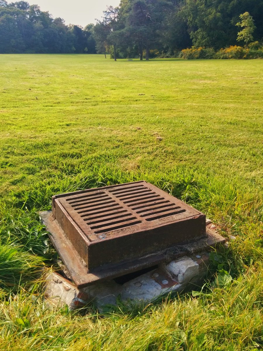

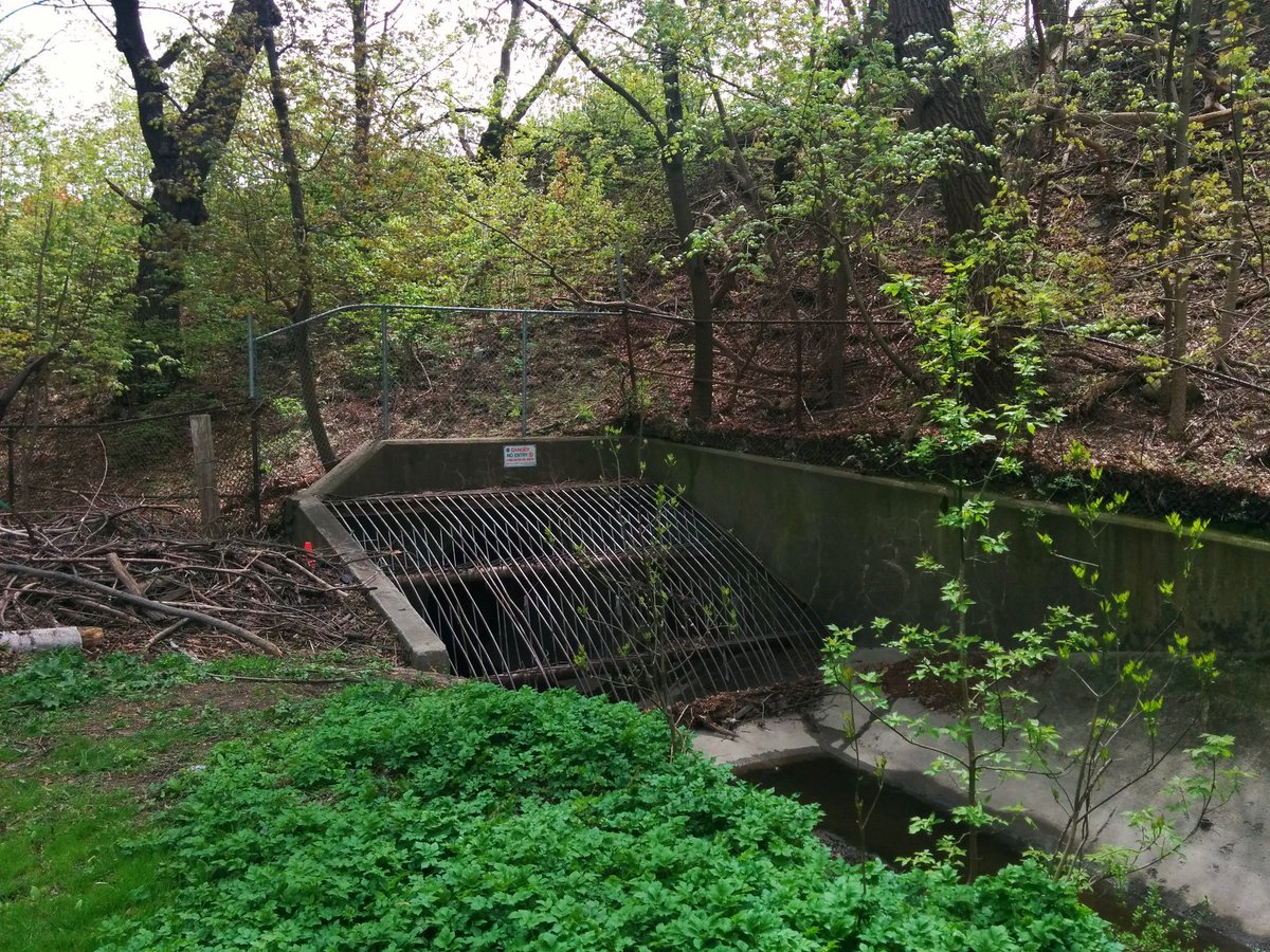
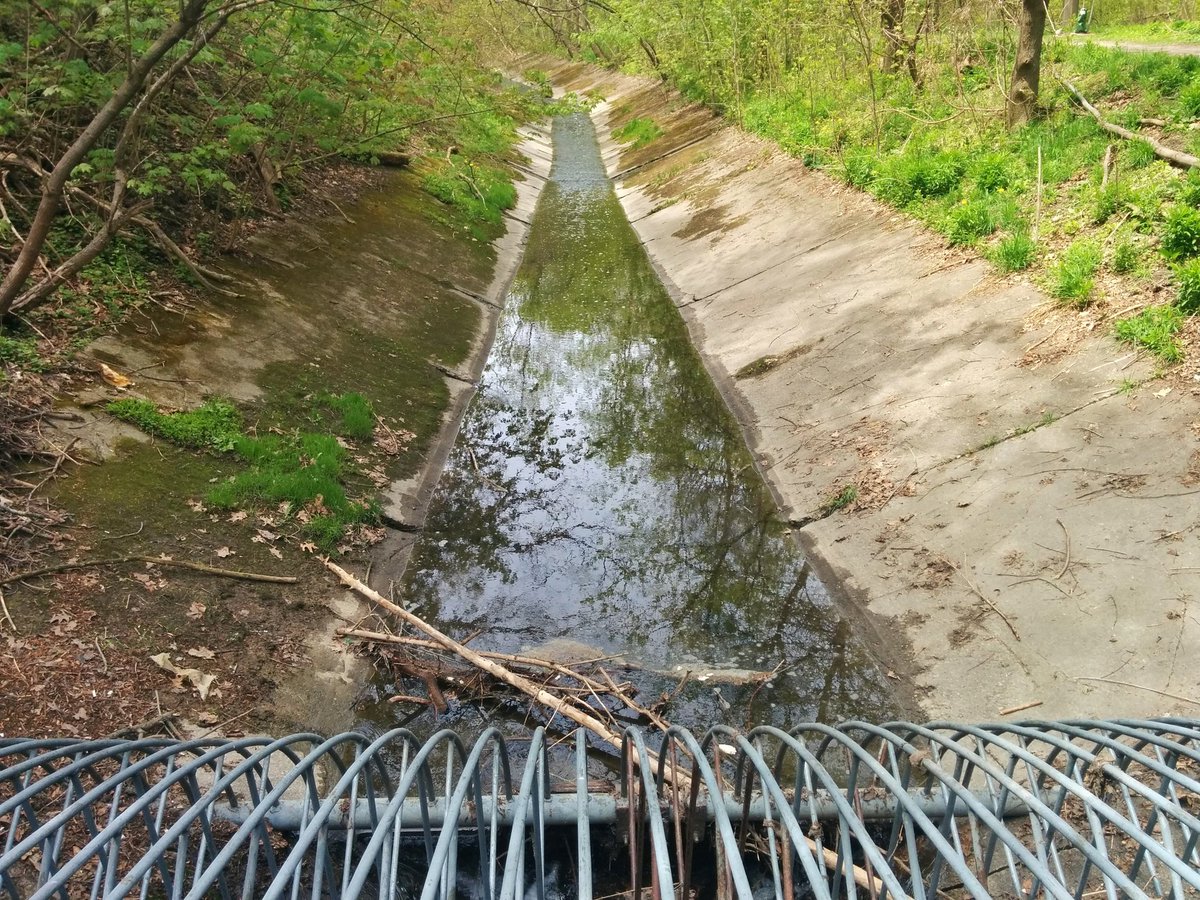
This has created a swath of legacy development in Toronto, where houses and commercial/industrial operations had either buried and filled in ravines, or significantly encroached on them before regulation in place. The Tri-Cities on the other hand were more rural in character for some time, took longer to develop, and did so at a lower density and scale. This left more relatively more natural areas intact or unadulterated, at least until more robust protection of ravines was in place.
The Scale
That’s development. Then there’s infrastructure, which is given more priority and leeway to encroach into or near natural areas. It’s still shaped by the same increasing environmental standards over time, but depending on how important that infrastructure is and how much demand there is for it, there may be more money available to make it happen. Toronto’s capital status and greater population and larger economy put it under greater pressure to provide sufficient roadways, highways, subways, railways; ways across and through natural areas. That hasn’t occurred to the same intensity in the Tri-Cities, but it’s there.
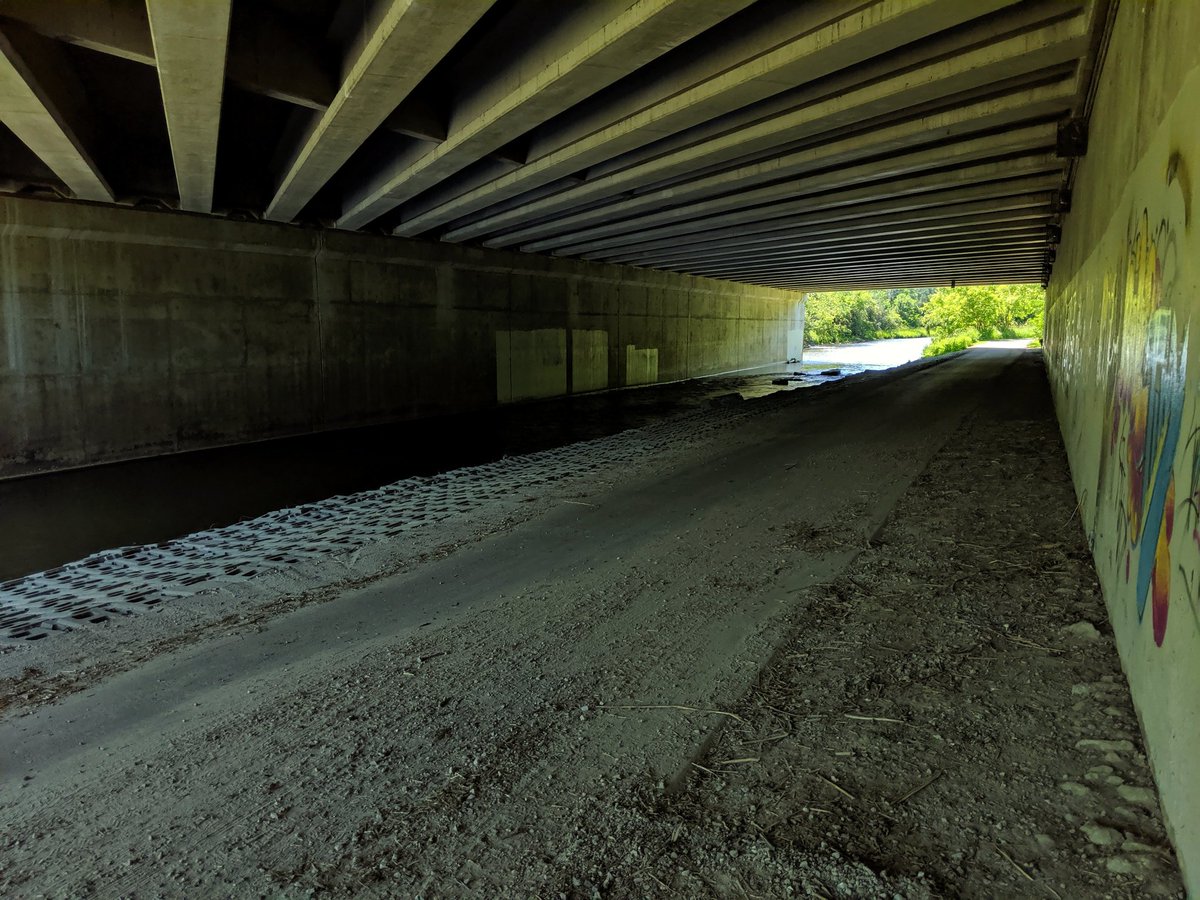
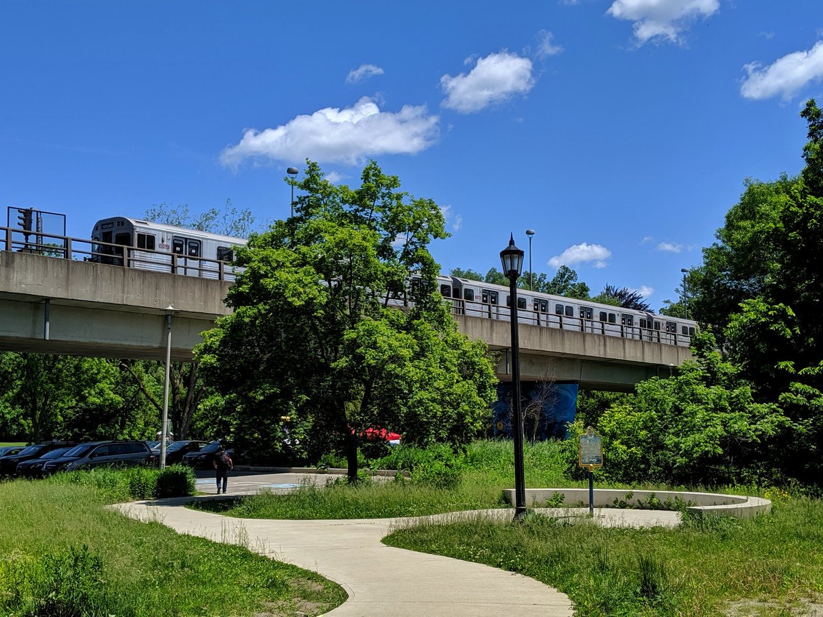
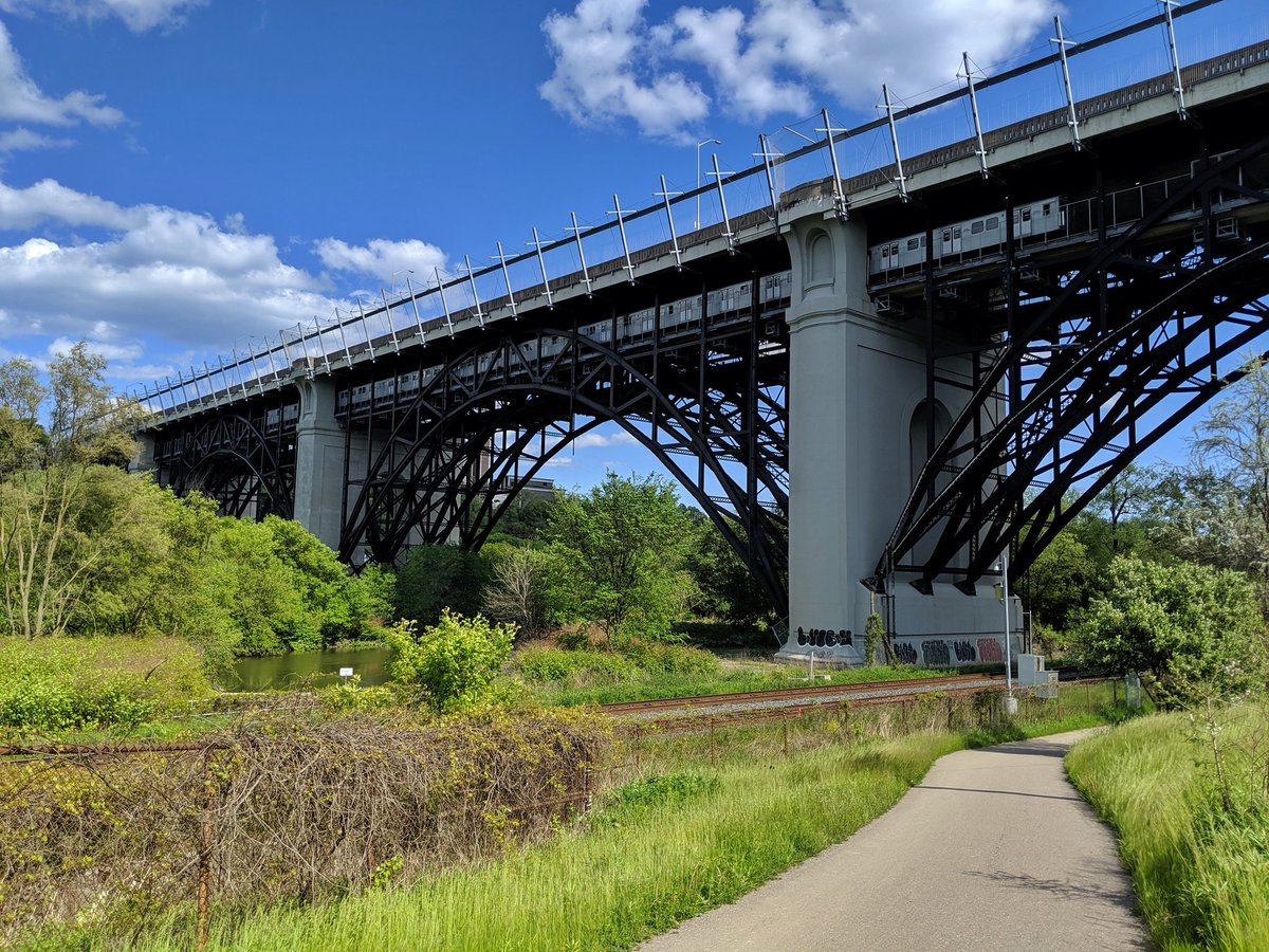
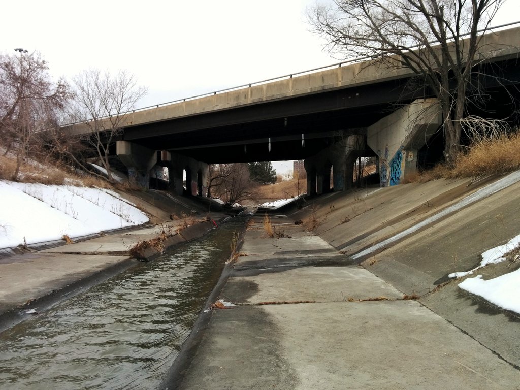
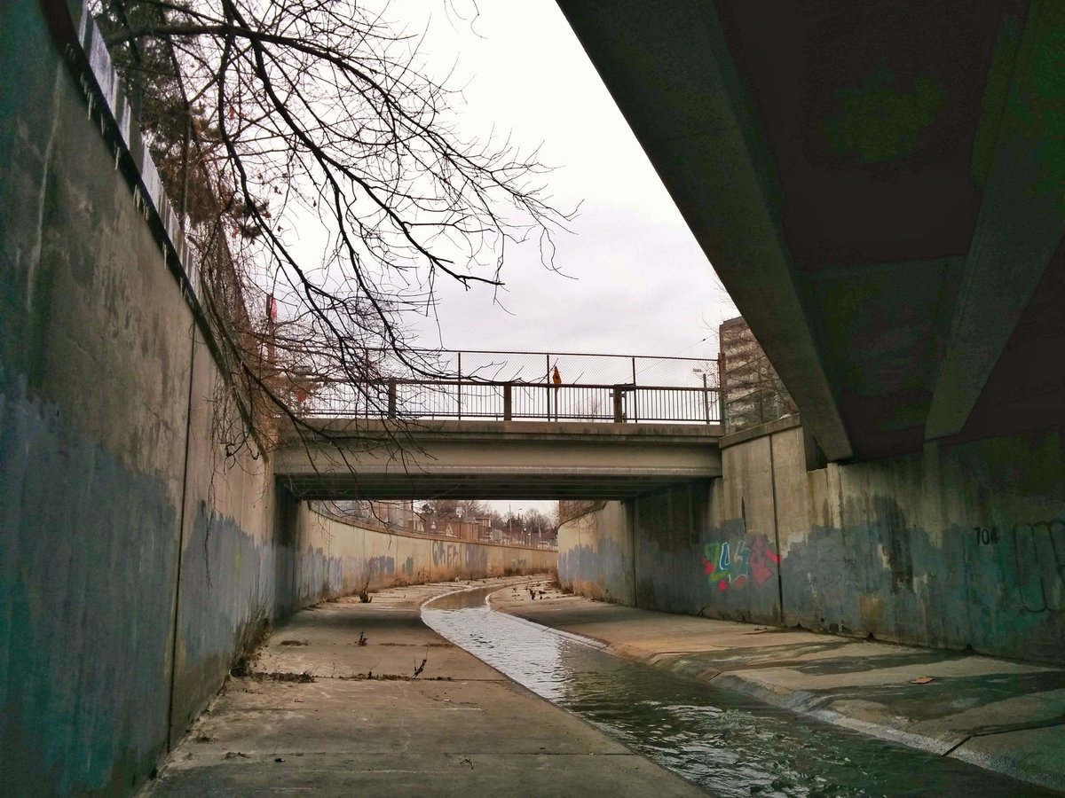
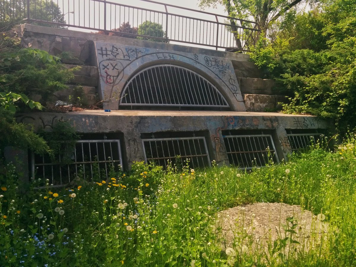
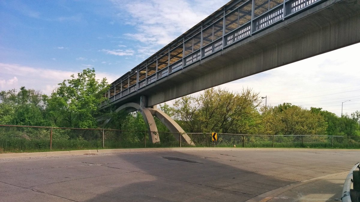
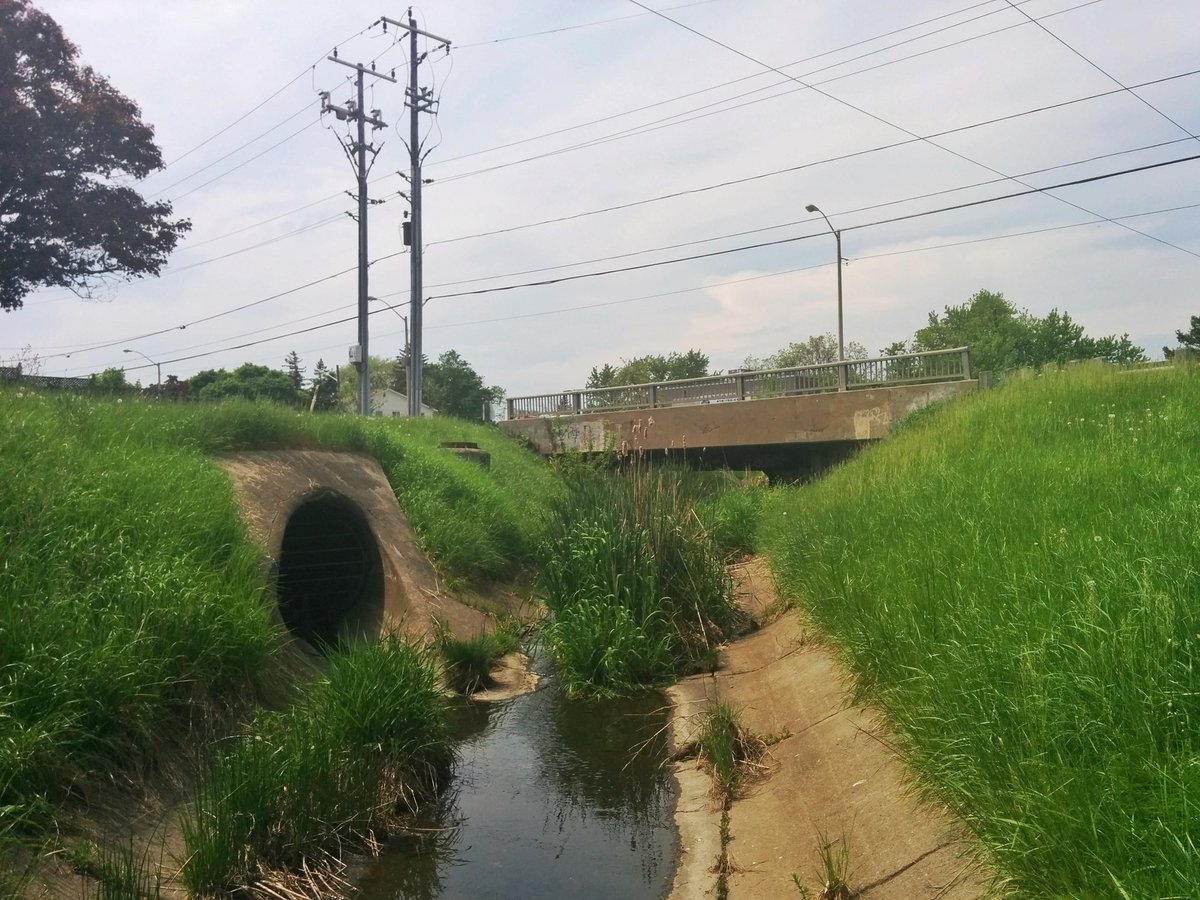
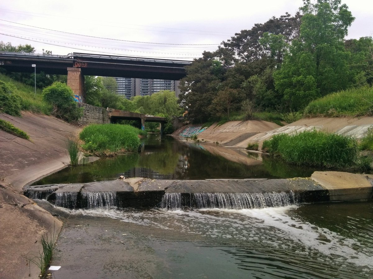
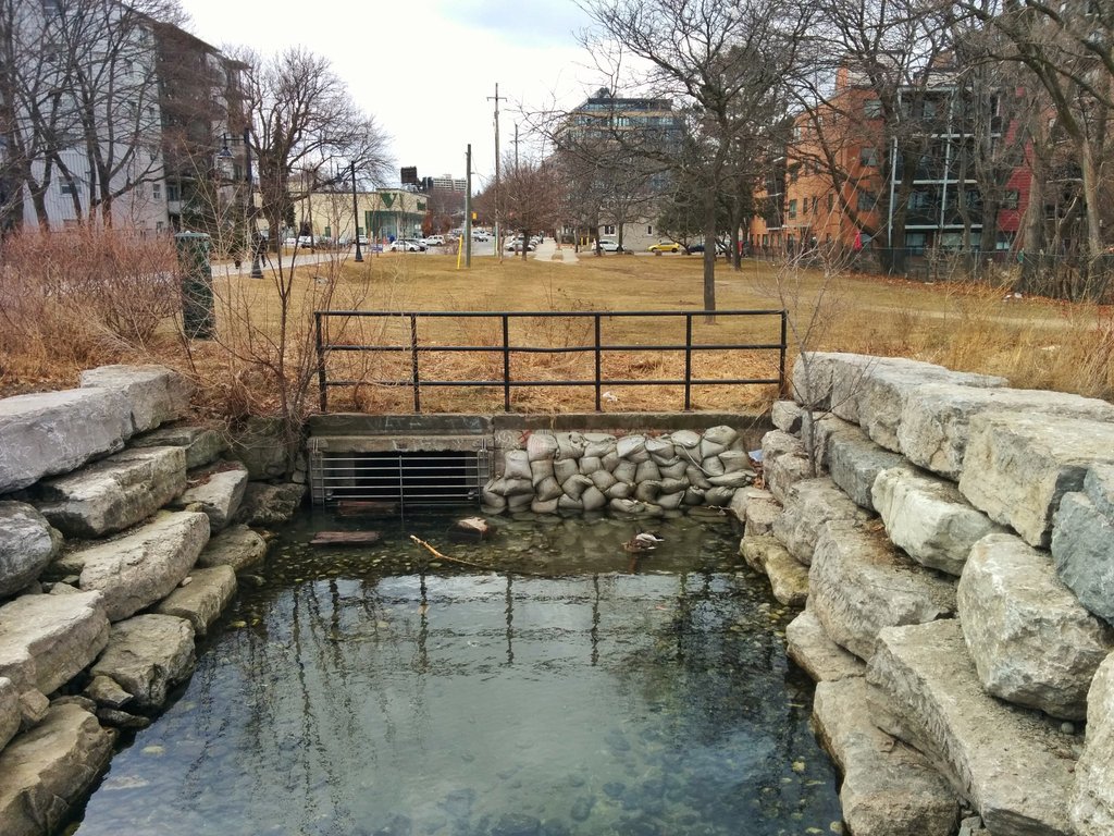
The key is that this infrastructure happened earlier in history, and at a larger scale. Massive infrastructure filled in ravines, or led to the complete burial of creeks. By today’s standards, it’s either not worth the cost of the infrastructure required to cross a natural area, or it’s better to avoid it altogether to protect the environment.
The Untouched
Each metroscape also has one major difference: land availability.
There are historic shots of mid to upper parts of Toronto on either side of Yonge Street that seem unreal; the city was still quite rural in the mid-20th century. But by the 70’s and 80’s, new development was punching up to the city’s north border along Steeles Avenue.
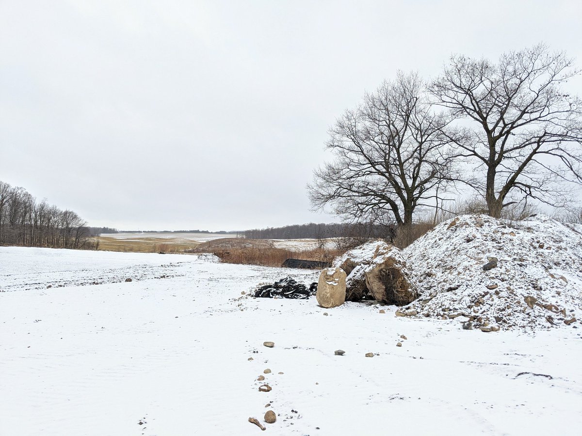
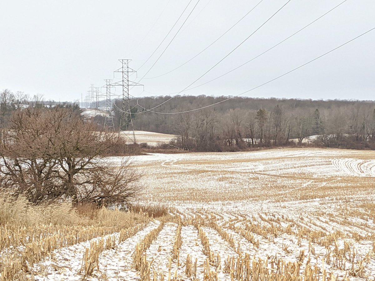
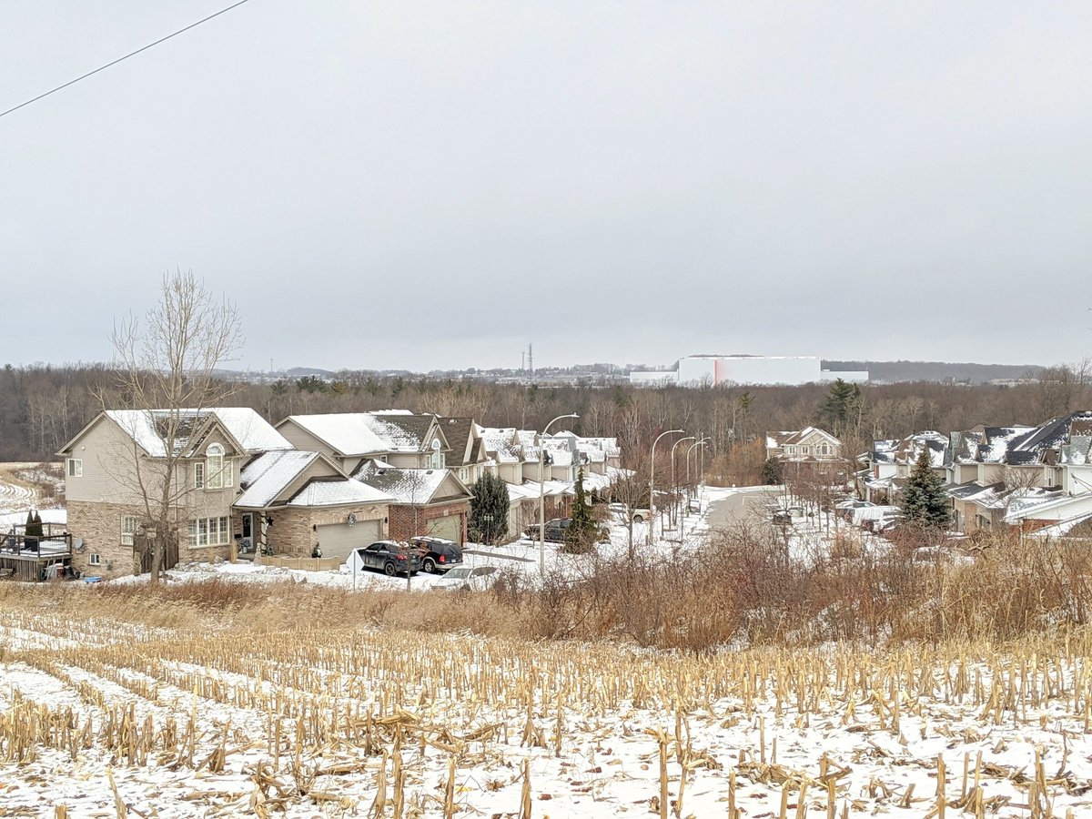
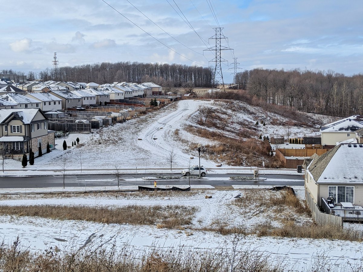
Walking in the Tri-Cities in 2020, there are still plenty of rolling farmer fields and freshly carved woodlots on the frontier of development. There are approximately 47 km² of land that are considered “greenfields” within the current urban boundary. This is ignoring development outside of KWC proper, in places like Breslau, the Stockyards, and Mannheim, and it’s entirely possible that these borders could change with annexation. The pressure will only continue to grow as the Tri-Cities grow, and more people like me flock from the GTA in search of more affordable housing.
So the effects are obvious to me when I go exploring the respective metroscapes. Toronto has more natural spaces that have been covered up, constrained, engineered, fractured and/or half restored. This can often make them more interesting; they may be mysterious from an aerial perspective, and hold more surprises when explored in person. Add this to the fact that Toronto has a lake shore and the Tri-Cities does not, and there’s a clear difference in variety.
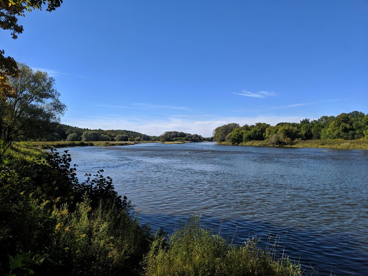
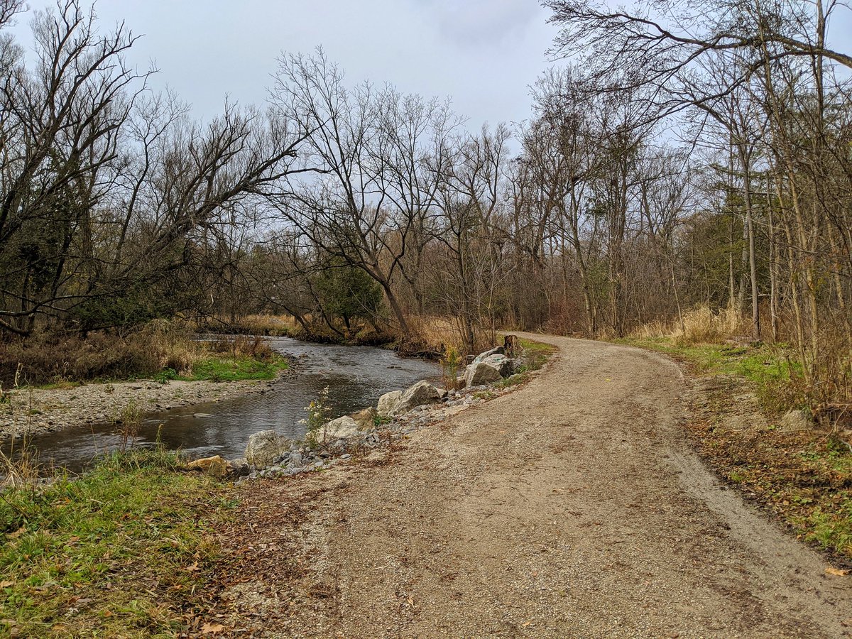
These unique metroscapes exist in the Tri-Cities too, but significantly modified natural spaces are fewer and farther between. It’s a bit of a double edged sword. Finding an unadultered natural refuge in the Tri-Cities is easier to do than in Toronto. Yet when you find it in a choked, noisy, concrete jungle, that’s what makes it more remarkable and more special. And when you find spaces that are modified to some degree by the built environment, it gives them character, and makes them unique.
This doesn’t make my walks in the Tri-Cities less interesting. There is a moment during every walk, something that raises an eyebrow and makes you smirk. It’s a snapshot that sticks with you, and it adds to your self-constructed image of the city.
That’s why I urge my readers and followers to go beyond living vicariously through me. Go explore these places yourself. Find your moment. My role is to be a guide and inspiration for where to start.

One thought on “More Reflection on a Westerly Shift”