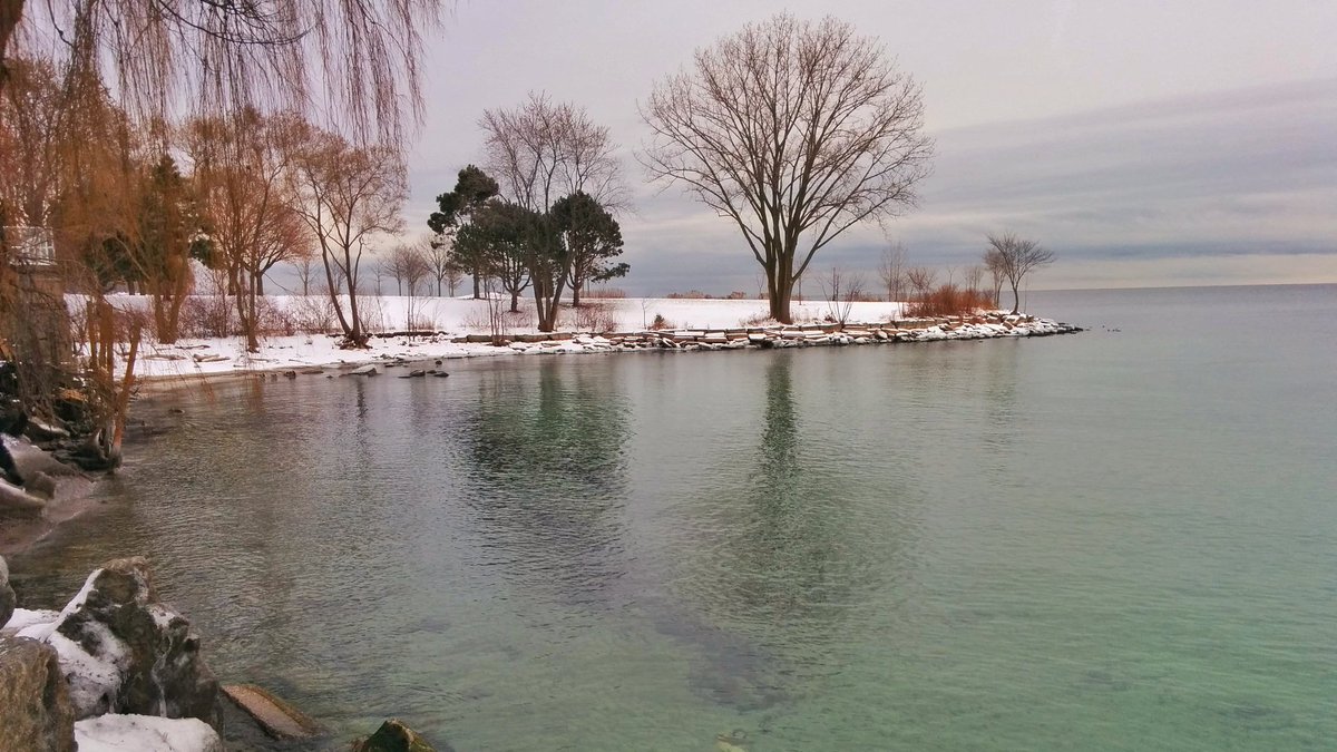
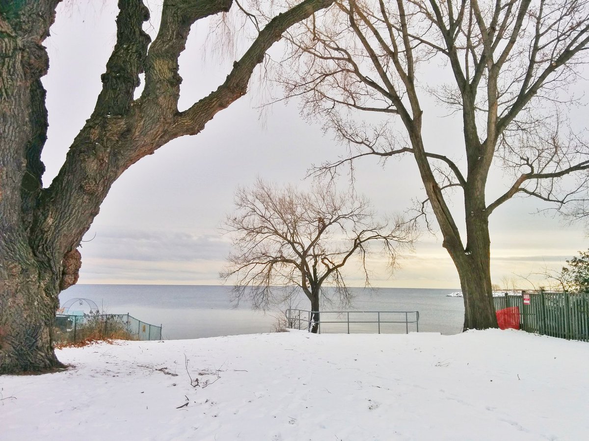
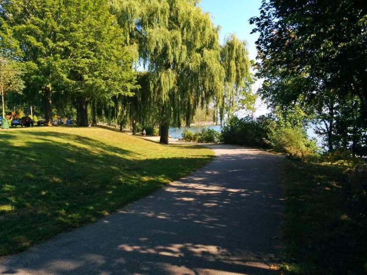
Looking to trace some lost rivers in south Etobicoke. Starting point is here at Lake Ontario. North Creek flows through wetlands at the base of Colonel Sam Smith Park. Quite wide, lots of water here.

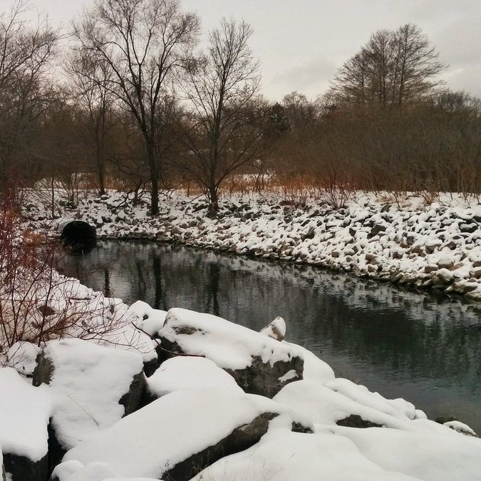


North of a berm for the Waterfront Trail, the creek becomes more defined. Some really old stone walls. By the time it reaches Col. Sam Smith Park Drive (aka the foot of Kipling), it disappears into an outlet.

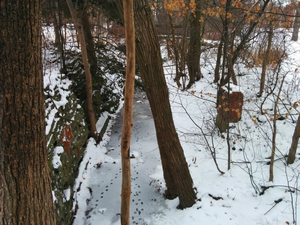

I poked around in a woodlot north of the catholic school, and found it again for a short bit. Then it becomes lost, likely for good. I’m going to head east from here and try to follow Jackson Creek instead.

Hunted around Rotary Peace Park for some time. I have no doubt that the original mouth of Jackson Creek was through the park. As for the present day sewer, this outlet at the foot of Twelfth Street is the only one I could find.


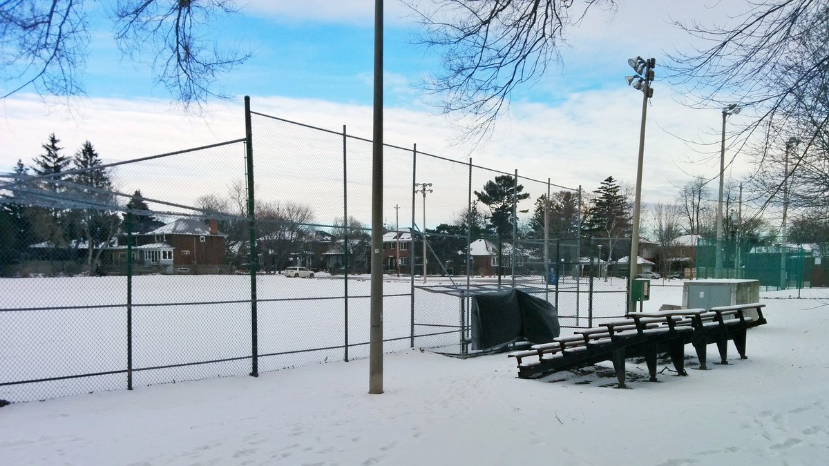
The former creek path continues to be obvious through recreational parkland and the Humber College Lakeshore East campus. No surface water though.


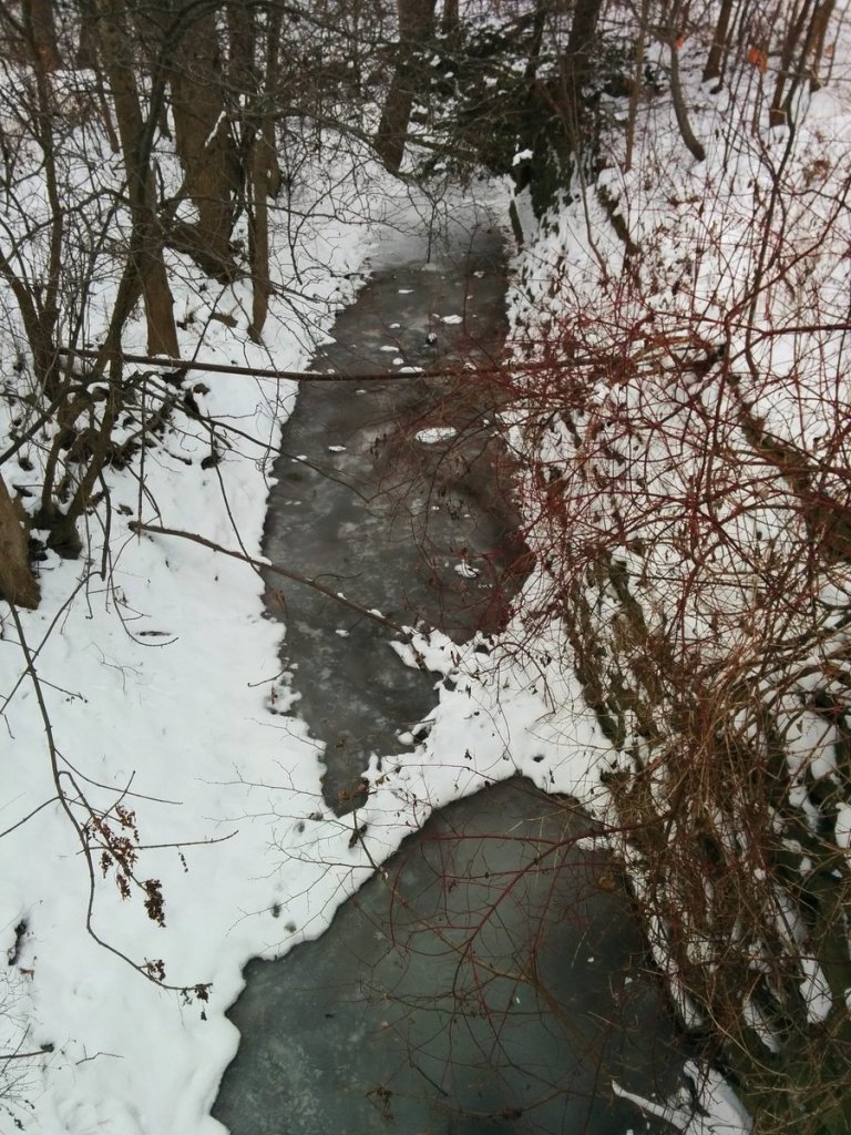
Searching for Jackson Creek has been fairly uneventful, other than Laburnham Park. Oddly enough, I totally found a creek, but it was actually an upper reach of North Creek. It flows between an outlet south of the Lakeshore West line, and an inlet in a private backyard.
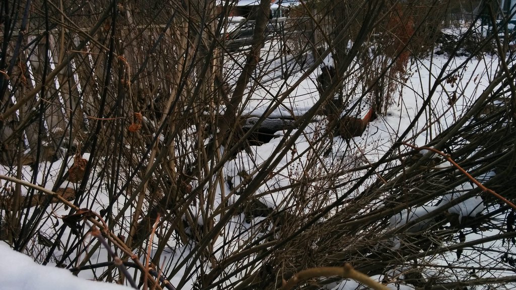


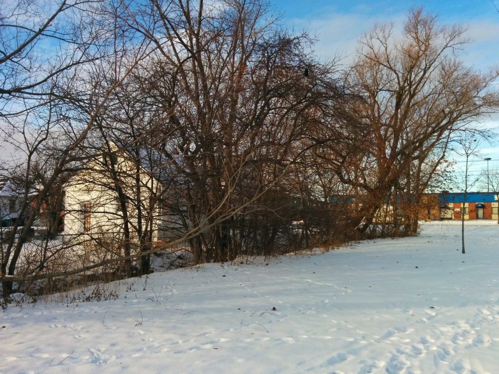
I’ve zig-zagged through industrial lands and parks. Found lots of surface ditches, but no concrete evidence of Jackson Creek.


Historical records indicate that Jackson Creek flowed along The East Mall and towards the 427. But given the results so far, and the territory I’m in now, I’m not going to find anything further north of Dundas. So I gotta call it a day here.

Date: December 16, 2017
Length: 15.3 km
Type: Riverine

Related Walks
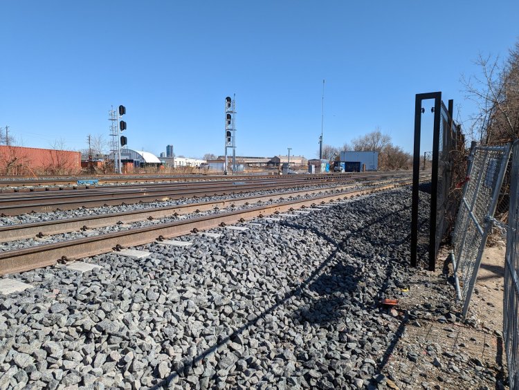
Intersecting rail line east and west
Oakville Sub (Toronto)
Shoreline east and west of the creek confluences
Etobicoke Creek I / Shoreline I


