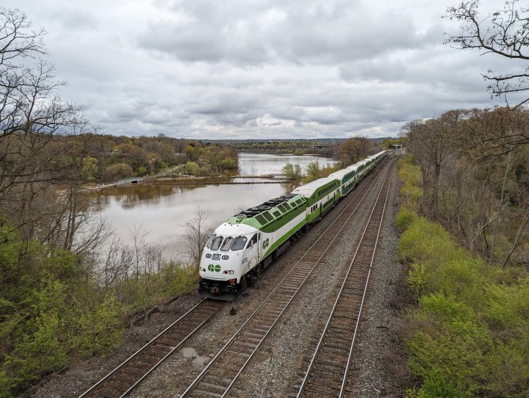
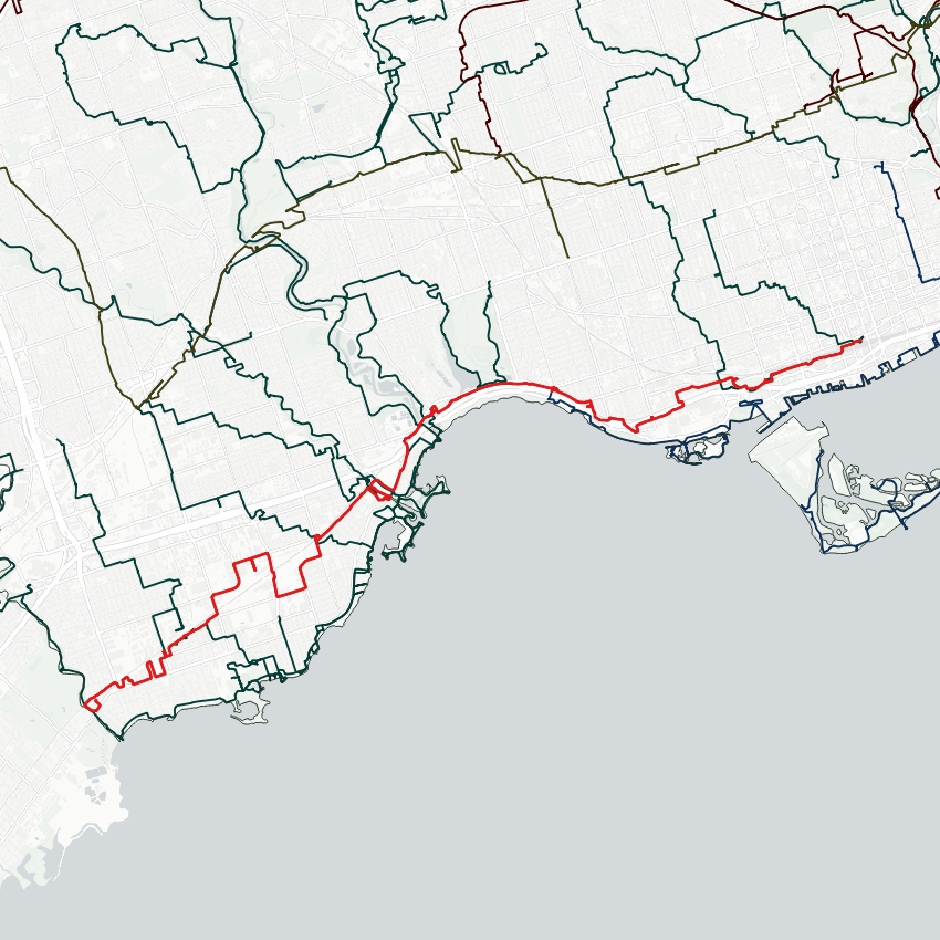
Good morning from the Long Branch area of Toronto. Today I will be tracing the Oakville Subdivision, better known as GO Transit’s Lakeshore West line. I’m starting from the city’s west border along Etobicoke Creek, and heading downtown. Let’s go.
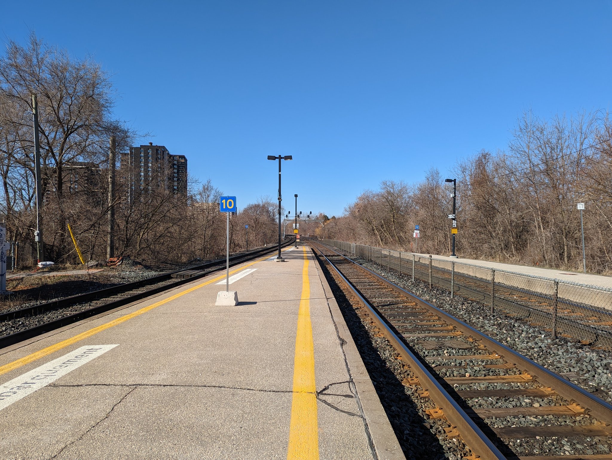
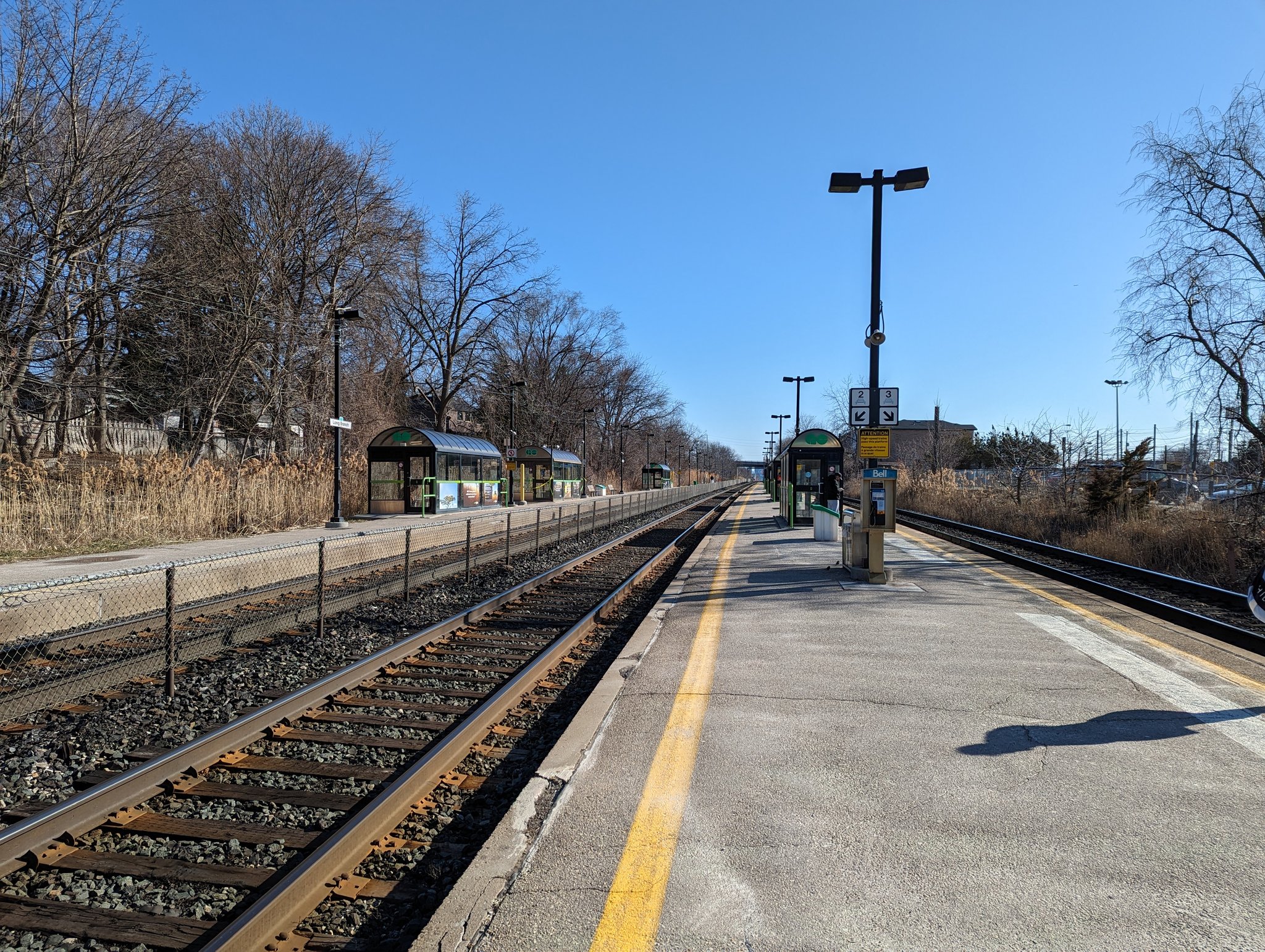

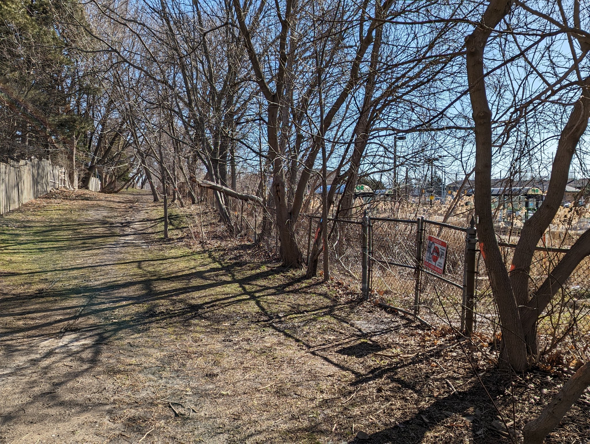
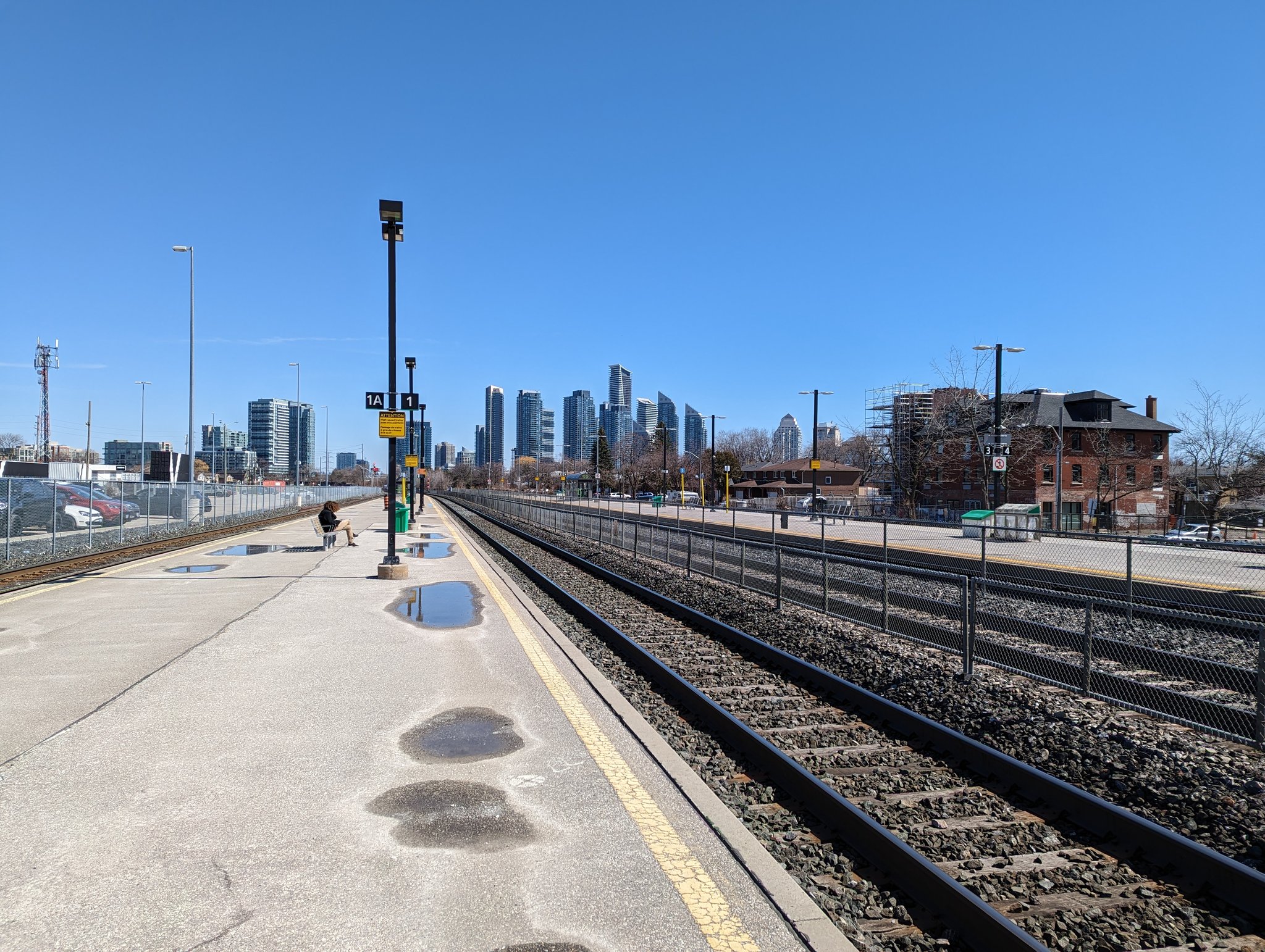
The tracks come in partly over a 100-year old bridge pier. Parallel greenway provides a neighbourhood connection. Long Branch Station serves as the southwest gateway into the city.

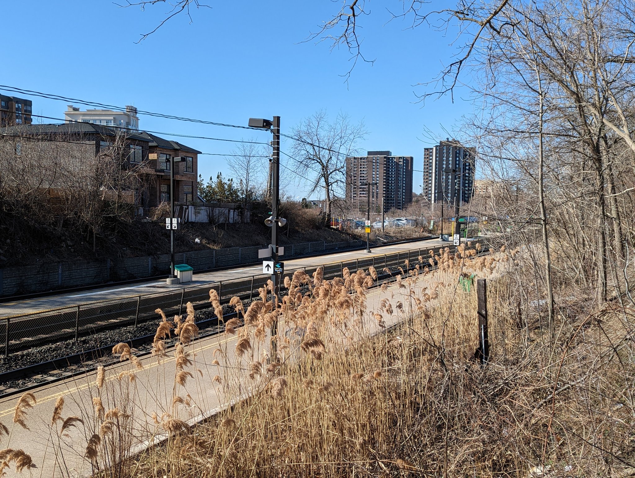

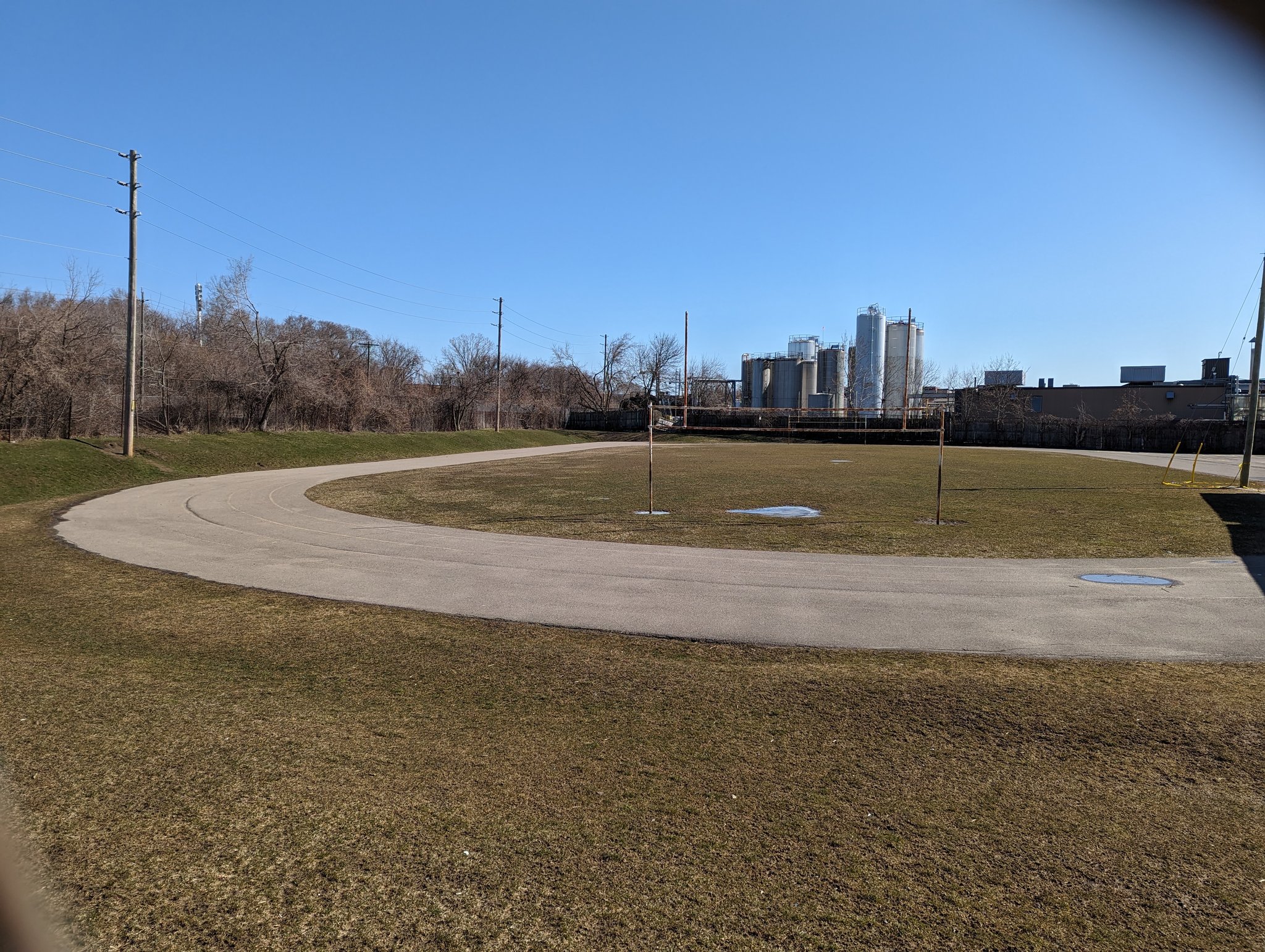
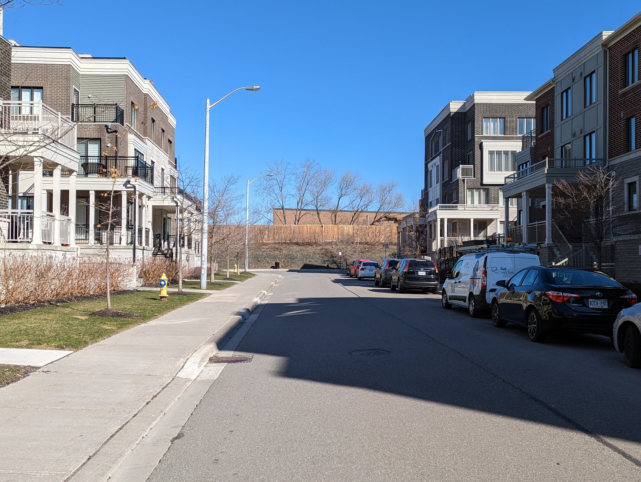
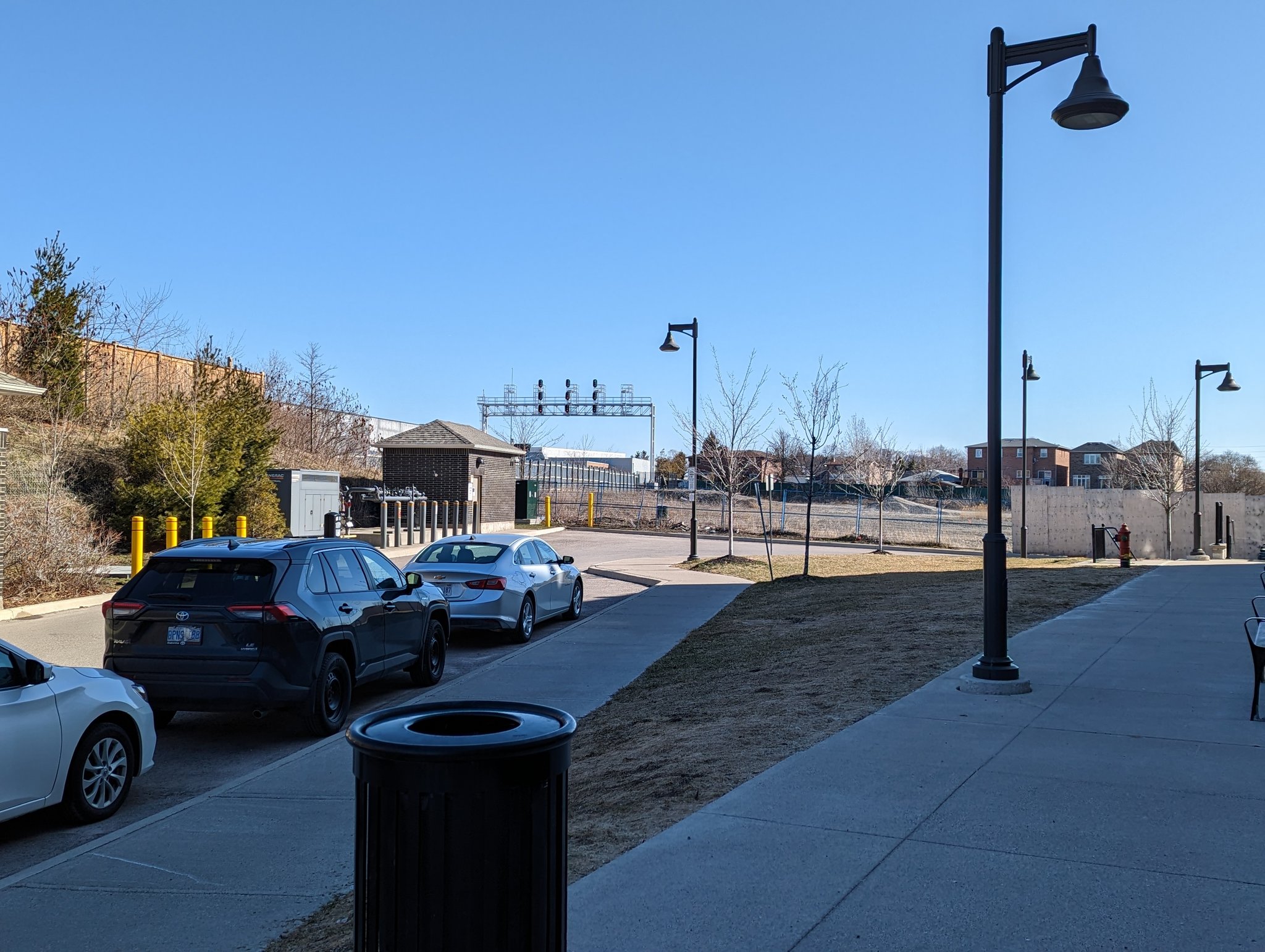
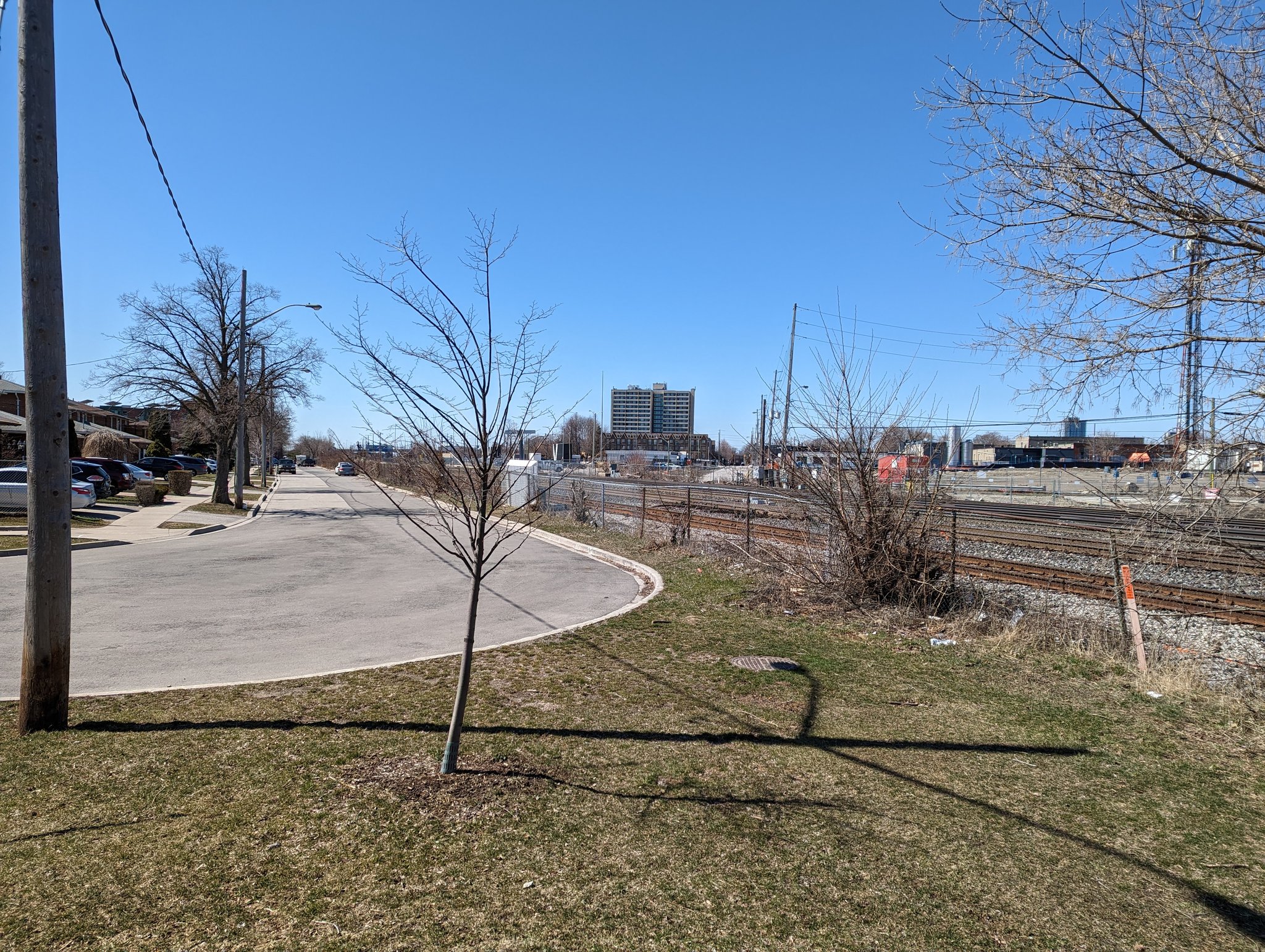
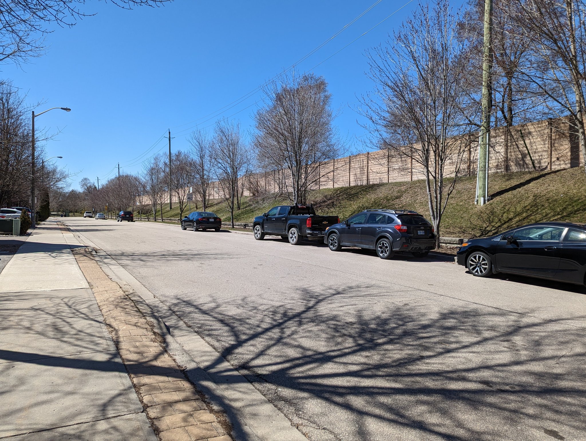
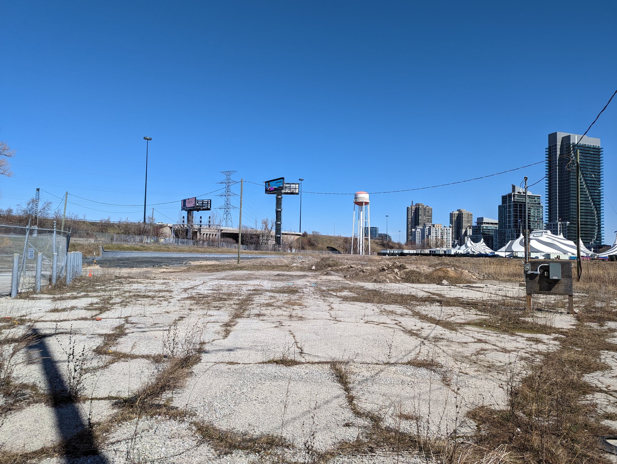
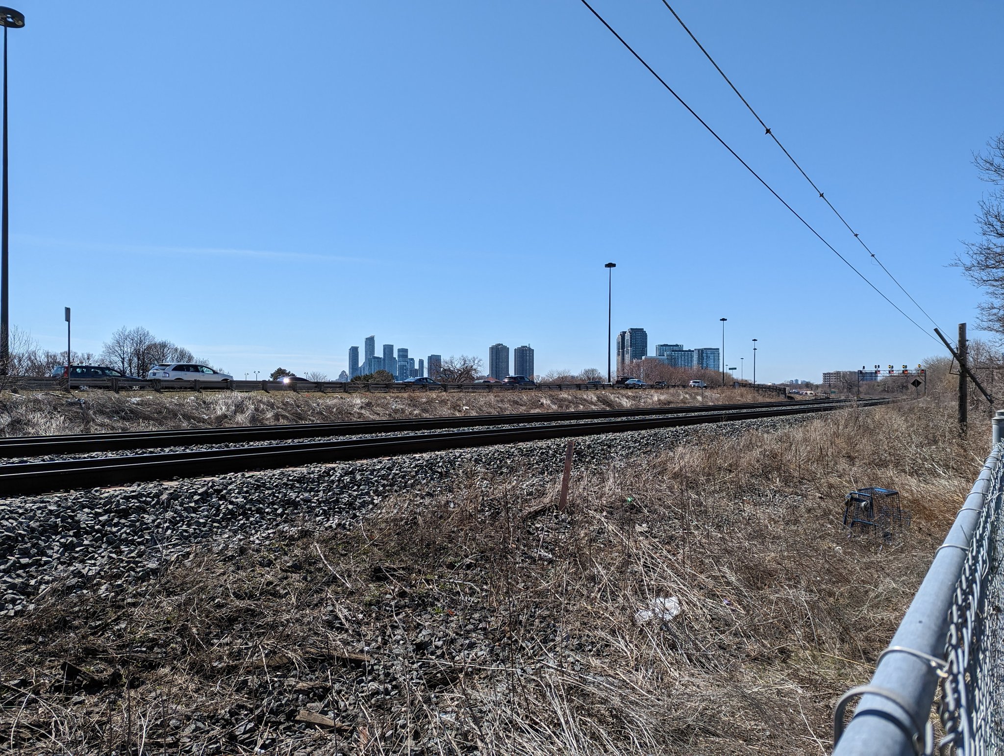
First glimpse of the downtown skyline. East of Brown’s Line is a mix of land uses. Commercial loading bays, industrial lots, school yards and residential berms parallel the tracks here.

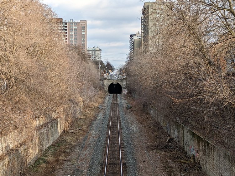
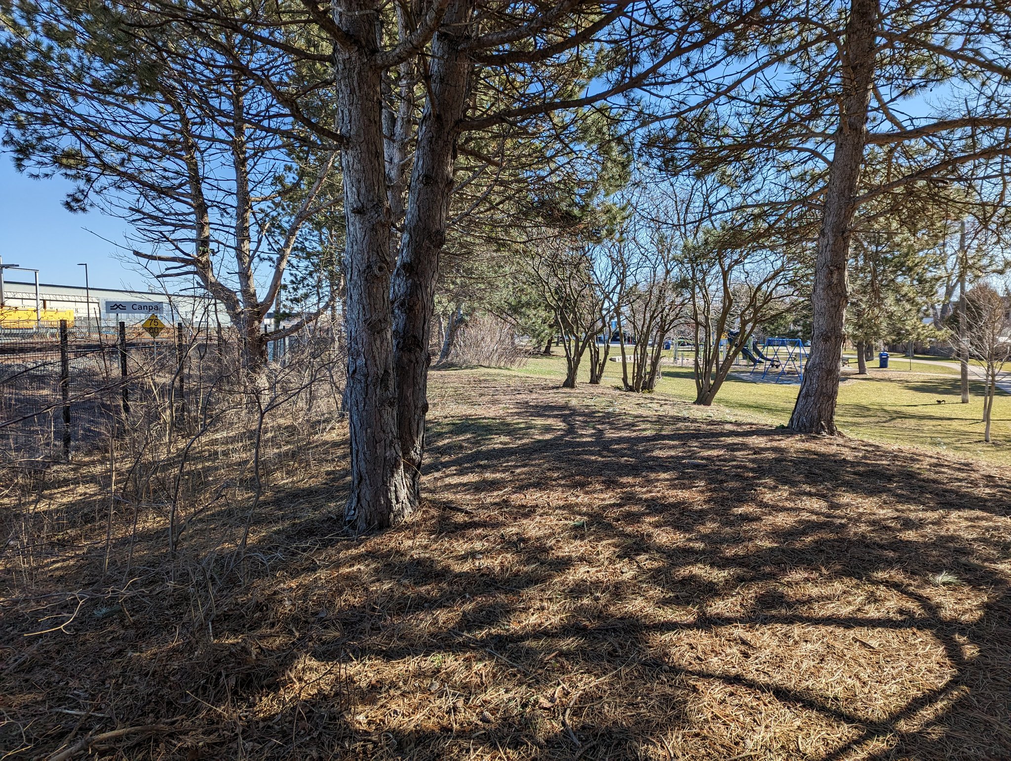
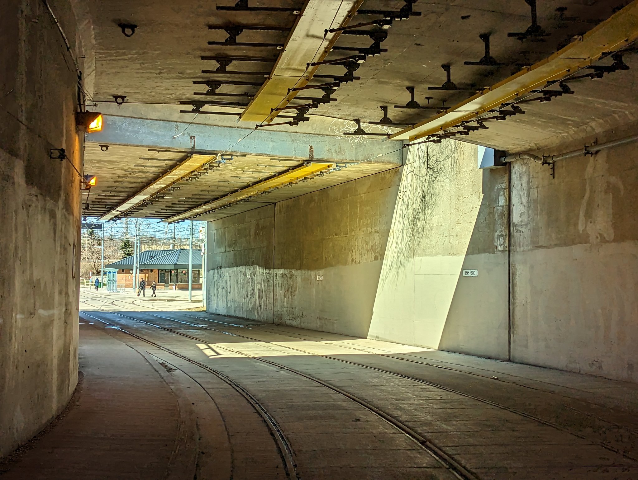
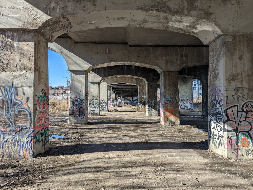
Underpass art and architecture. We come to Canpa, where the corridor starts expanding above 3 tracks. This is a switch point to another corridor that goes north to Six Points, and it’s also the gateway into a train yard.


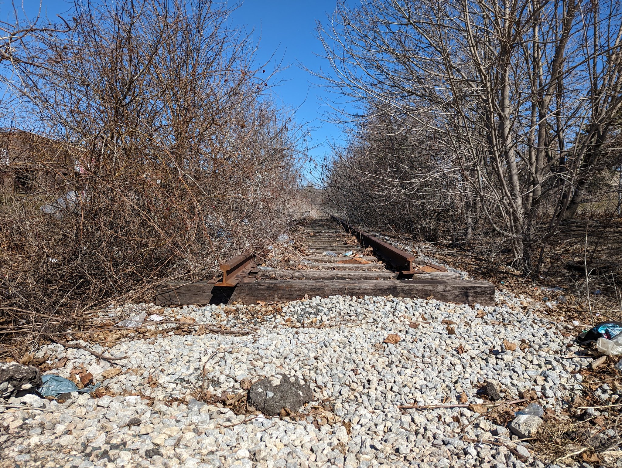
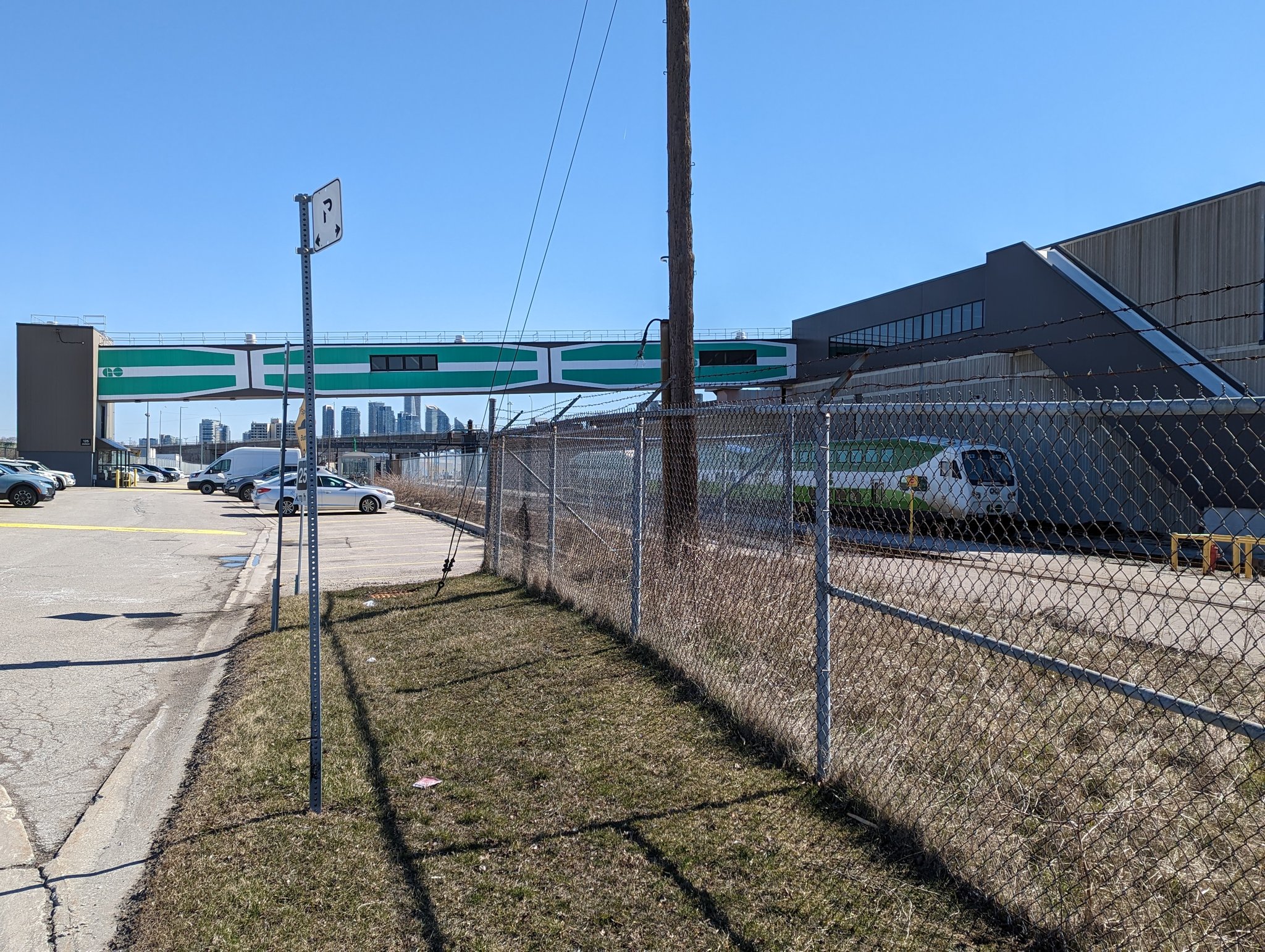
Starting to get around the west end of GO Transit’s Willowbrook Yard. It’s huge. Some freight spurs still live on to serve industrial lots north of here, others have been ripped up. A couple shots from the workers’ entrance before heading for a better overhead view.


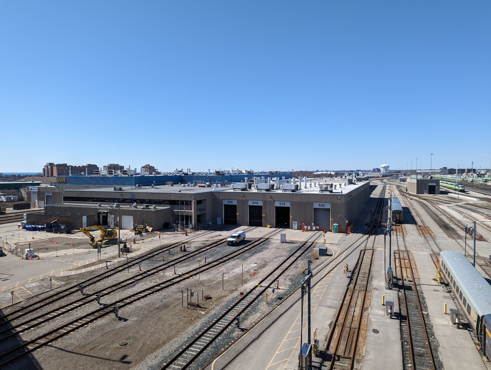
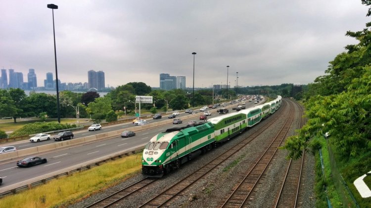
Here is the overview of Willowbrook Yard, as well as VIA Rail’s Toronto Maintenance Centre which resides south of the mainline. Islington Avenue has a 700 metre long bridge to cross the 50+ tracks laid in these yards.


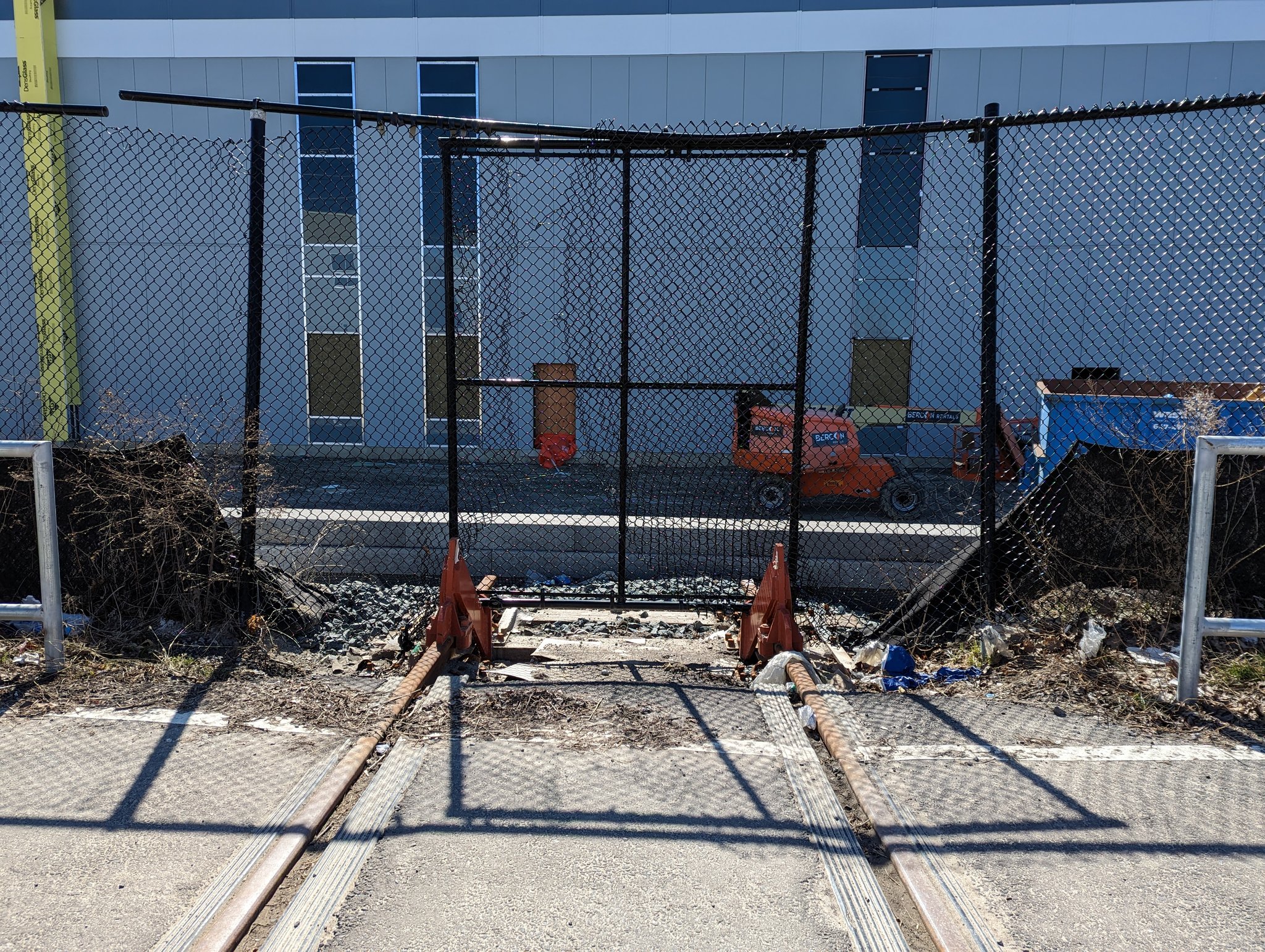
Around the south side of VIA’s yard. More spurs, but certainly stubby compared to their former glory. Both yards taper off by the time you reach Royal York, home to GO Transit’s next station, Mimico.
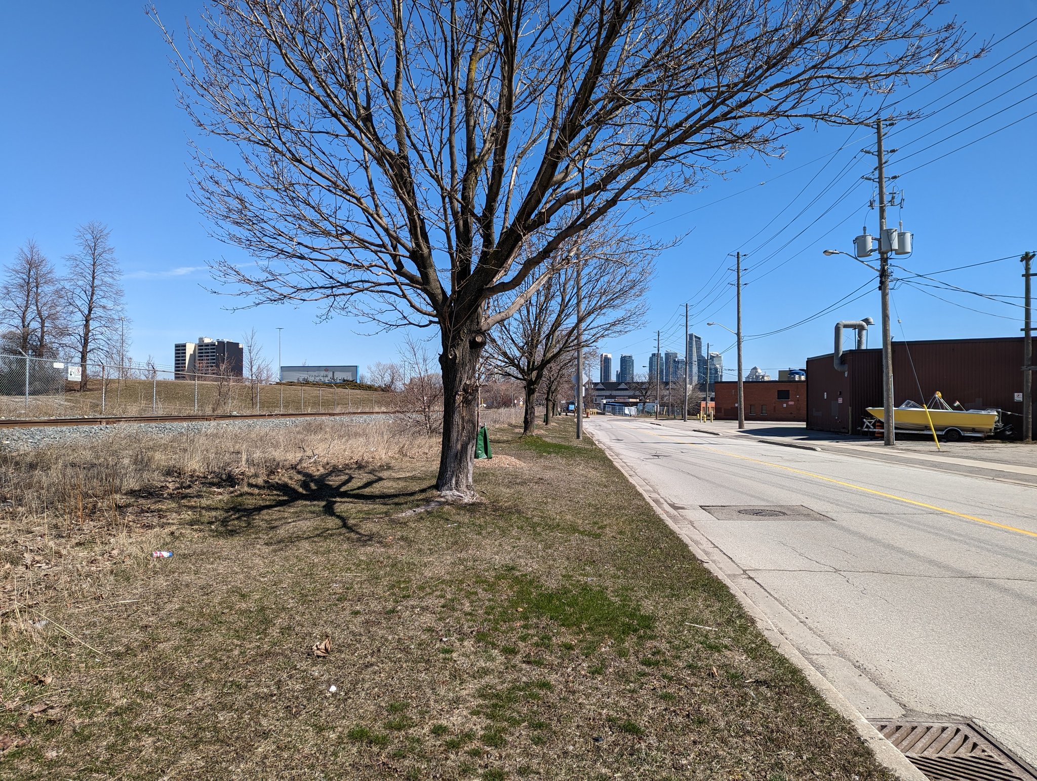

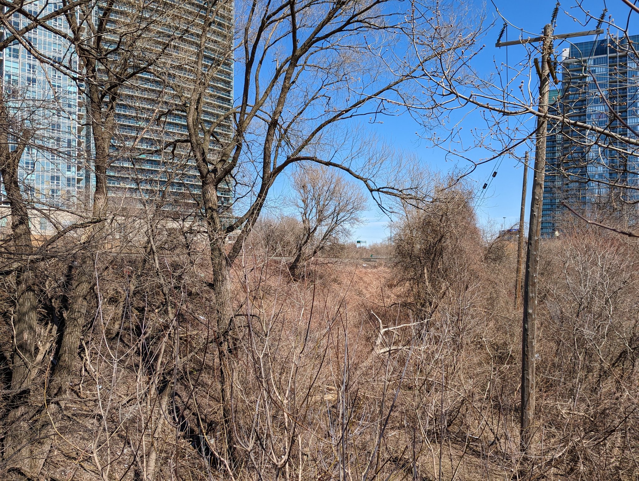
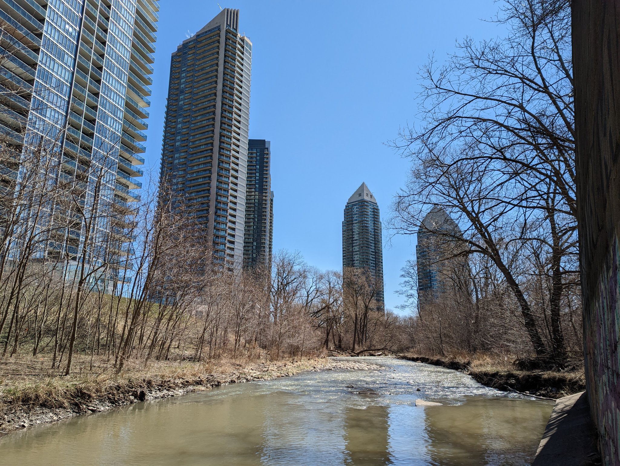
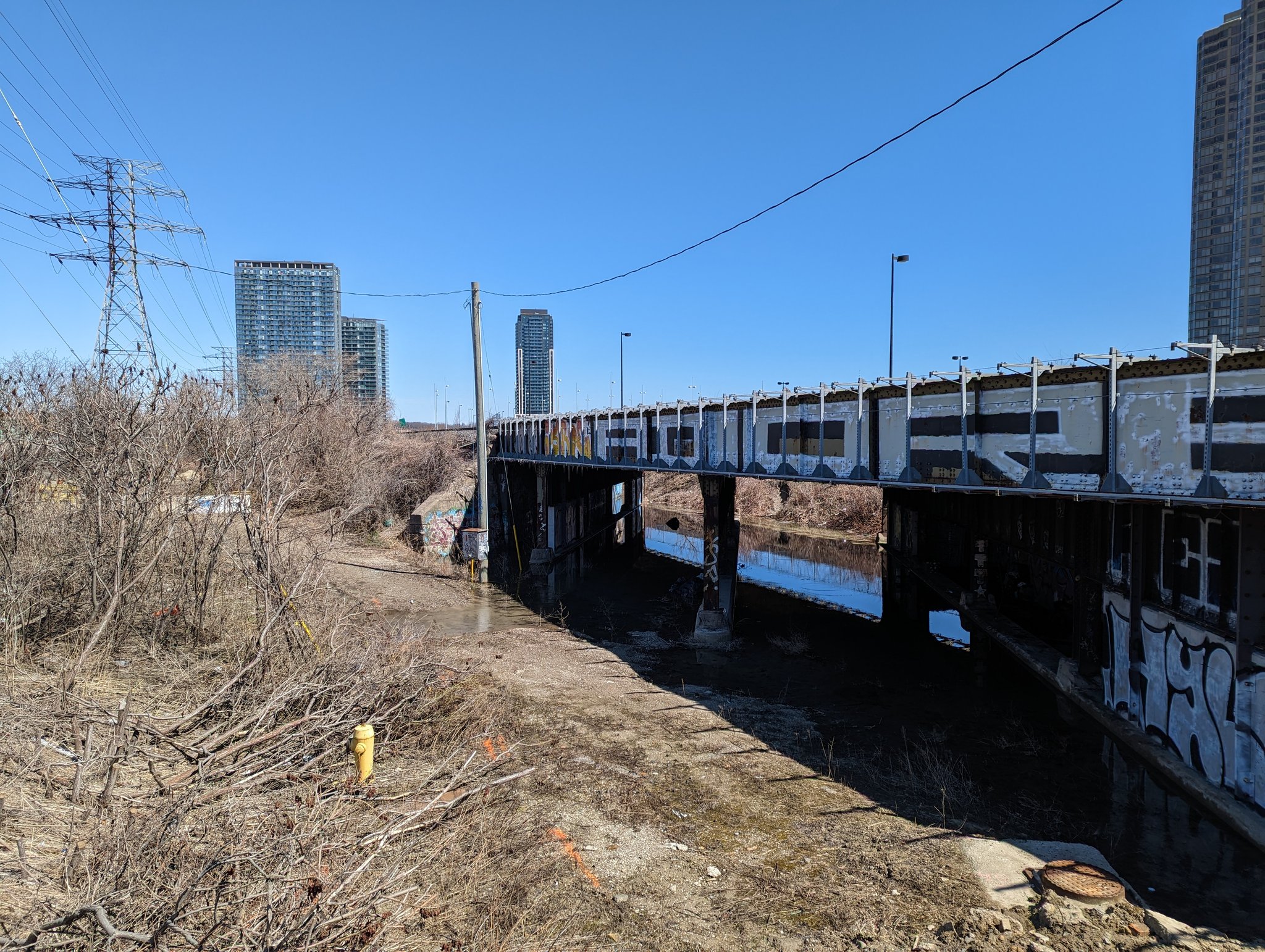
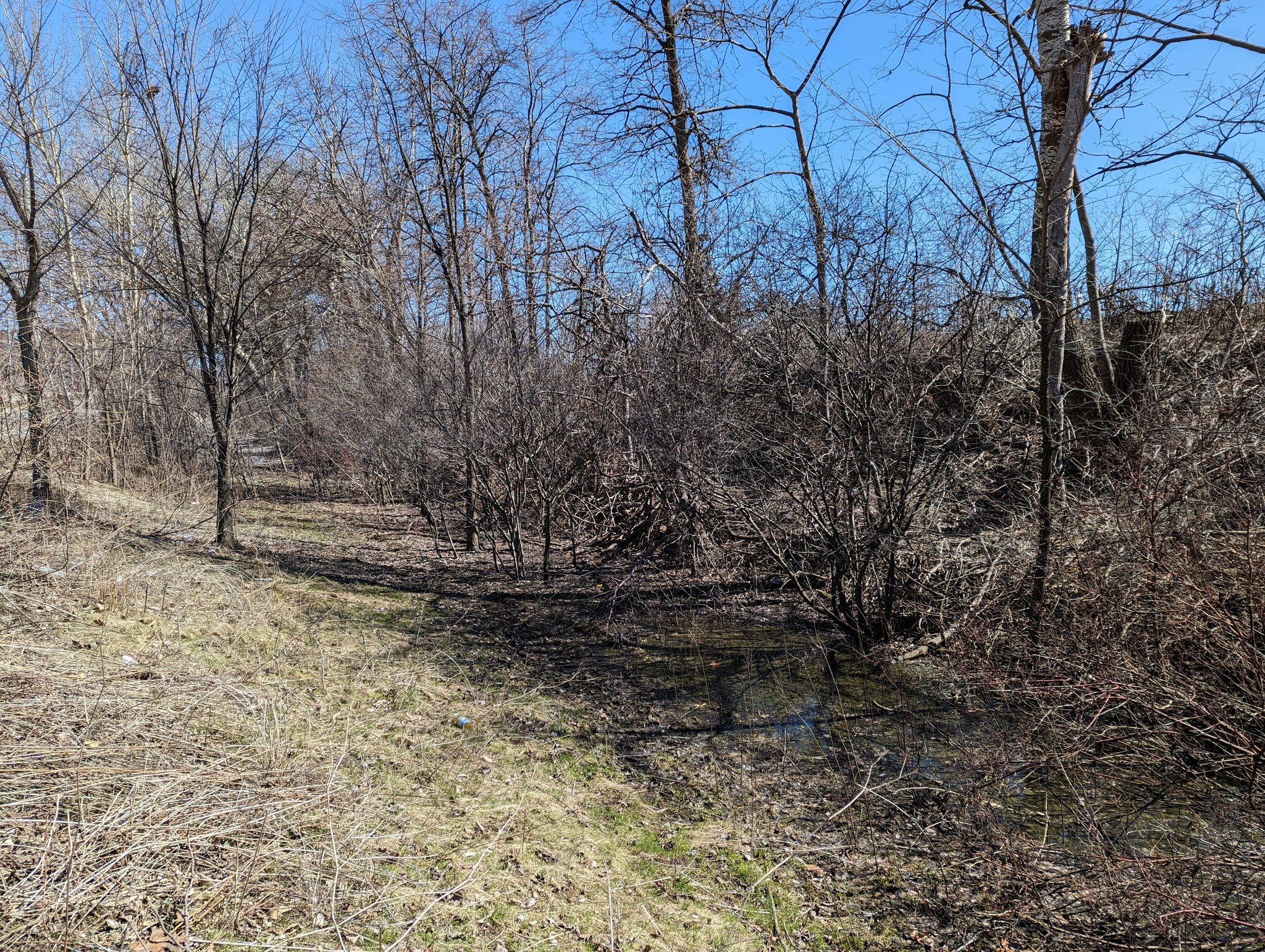
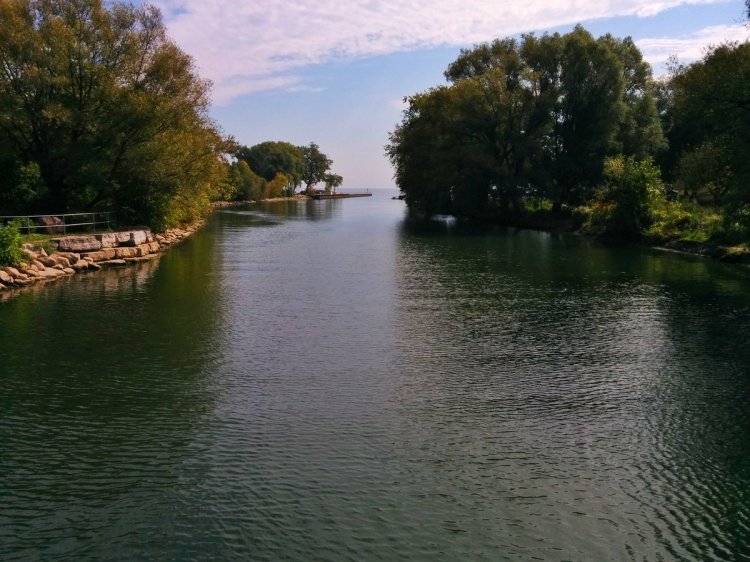
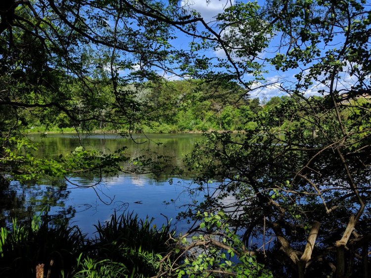
East of Mimico offers some parallel green space, and local street-berm corridors that could serve the public better. This culminates with the ravine for Mimico Creek and a somewhat lost tributary. These are ripe opportunities for parkland and active transport connections.

The ravine has no formal trails. A muddy path brings you to the bridge over Mimico Creek, but no way over it or under the tracks for walkers / rollers. A trail along the east bank is also incomplete. I’ll harp on the point again: this is low-hanging fruit for public parkland.


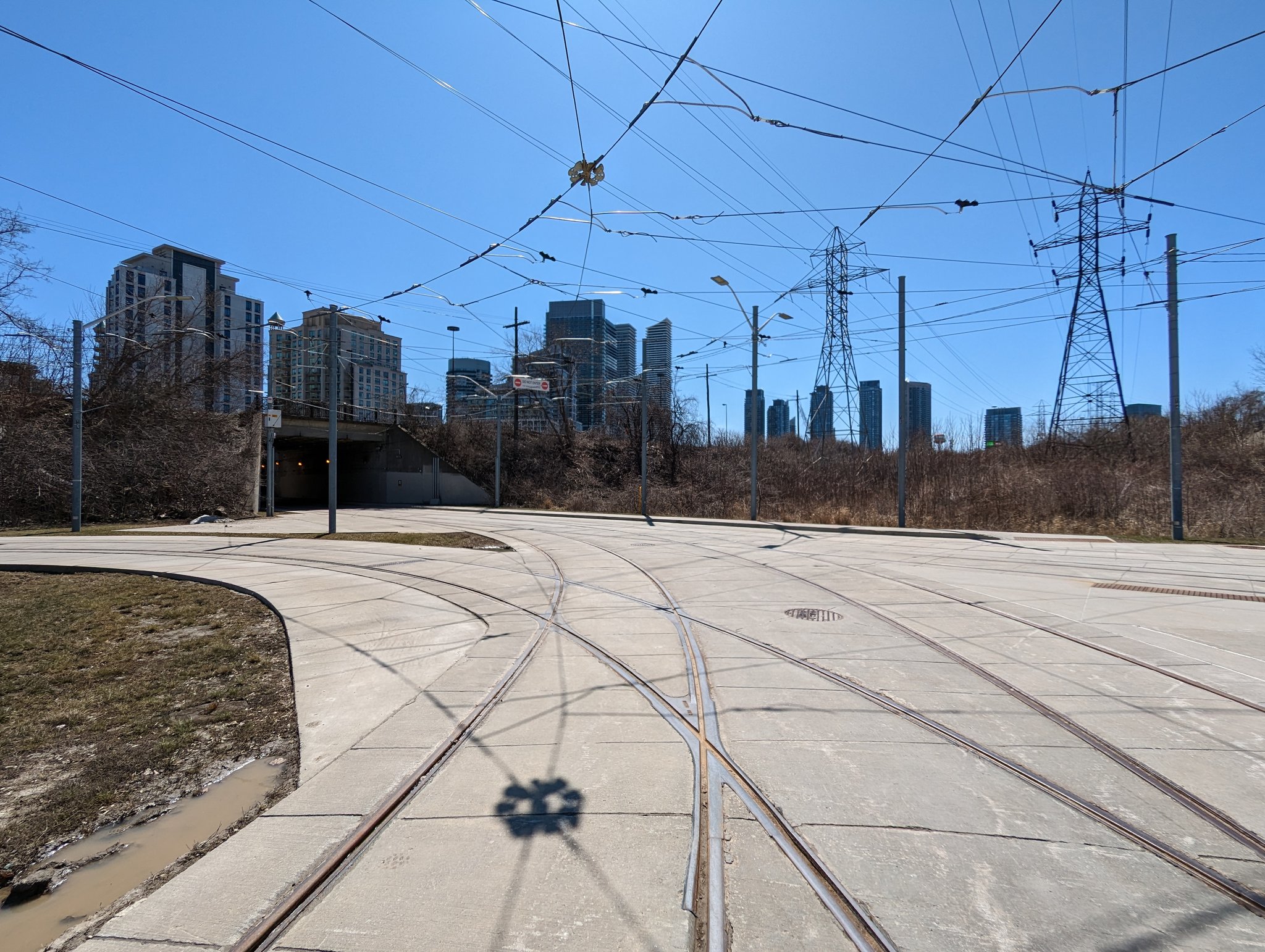
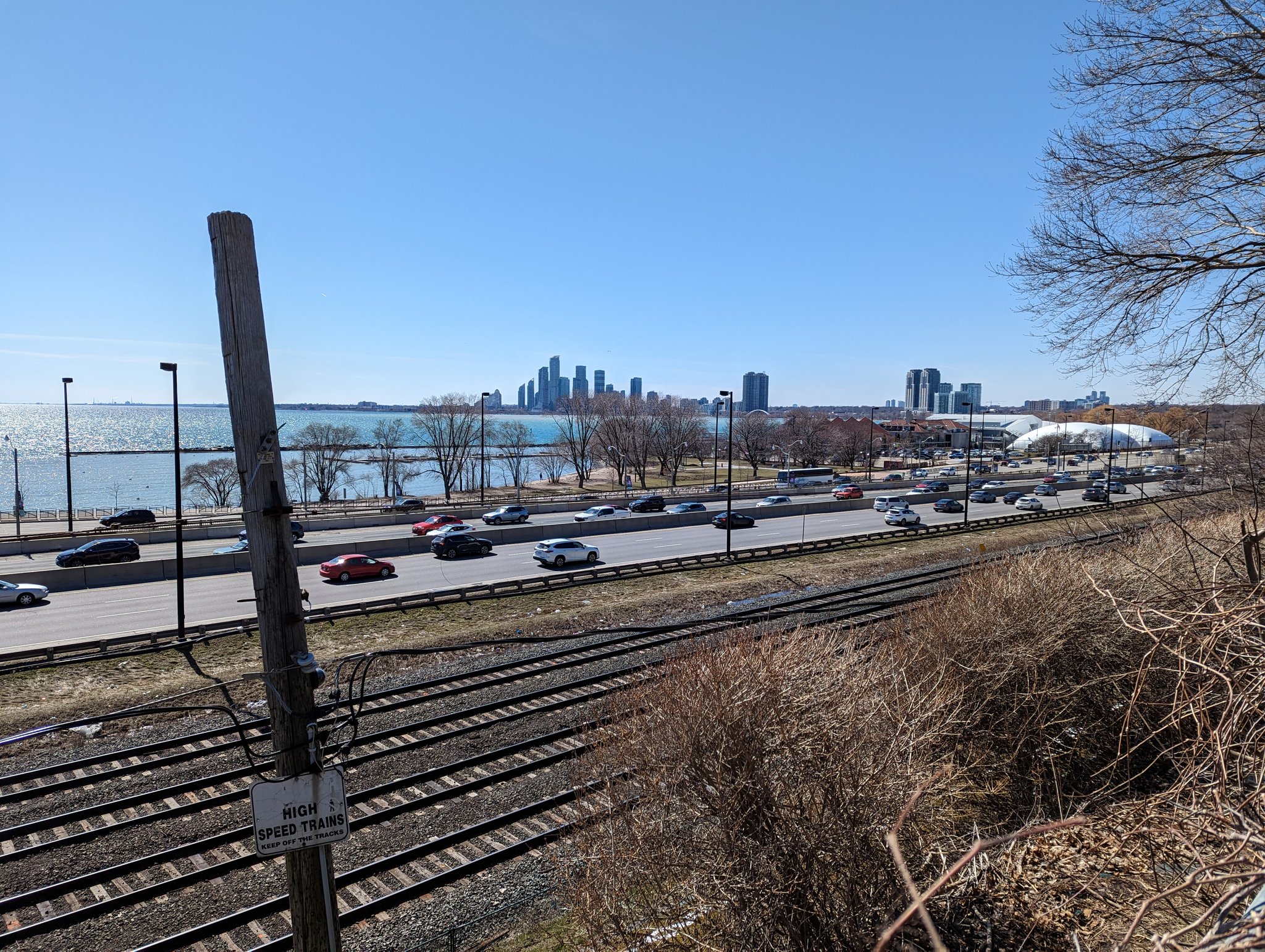
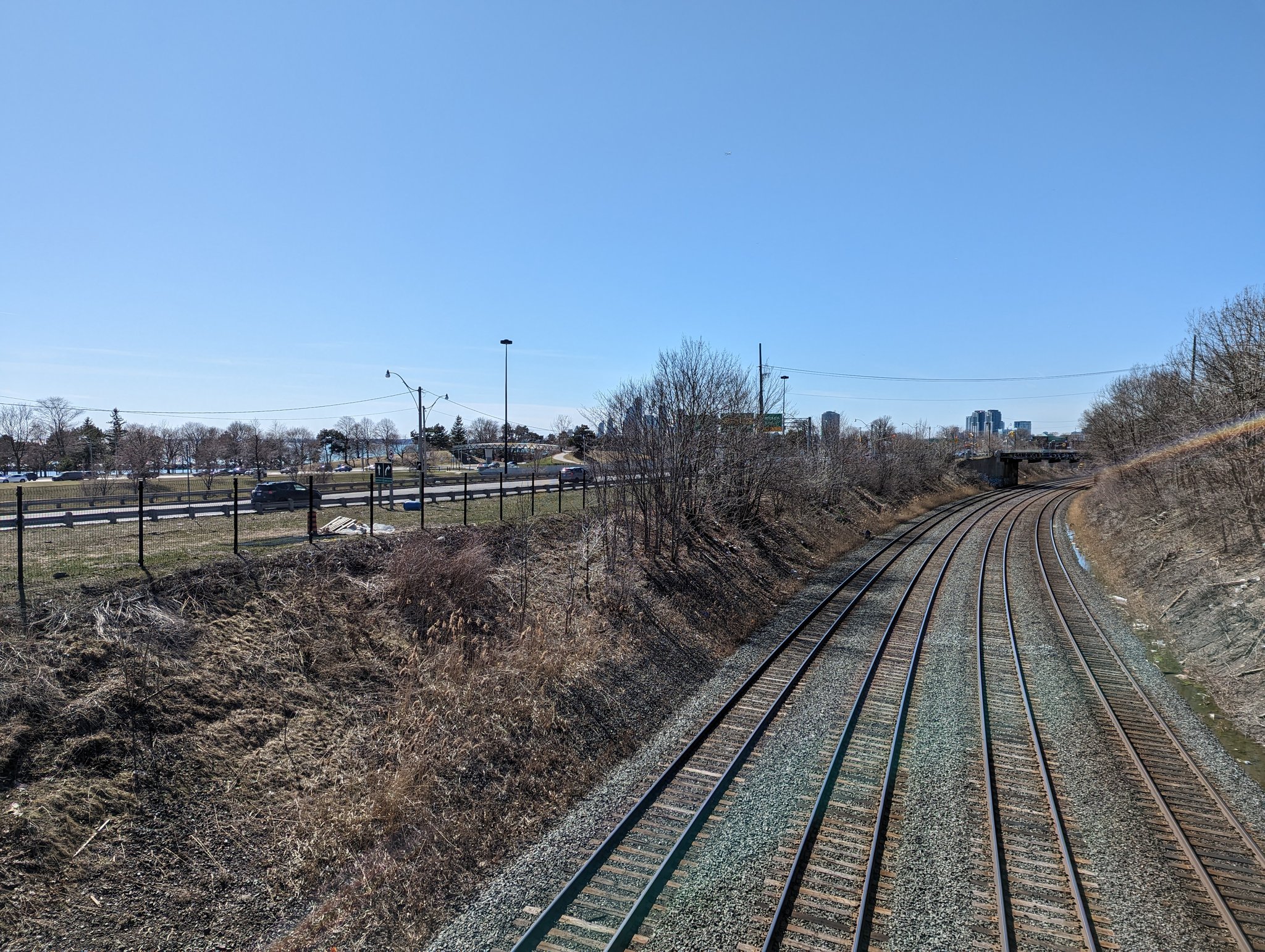
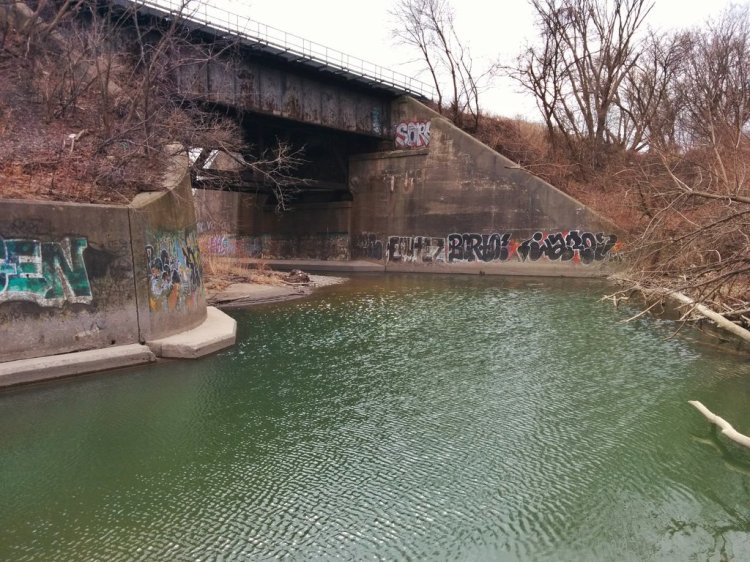
The Oakville Sub dives under and begins paralleling the Gardiner. After ducking through a tunnel for the 501 streetcar and pedestrians, you go through Humber Loop to the Humber River. A curious find: an old bridge I thought would be filled in with previous construction work.

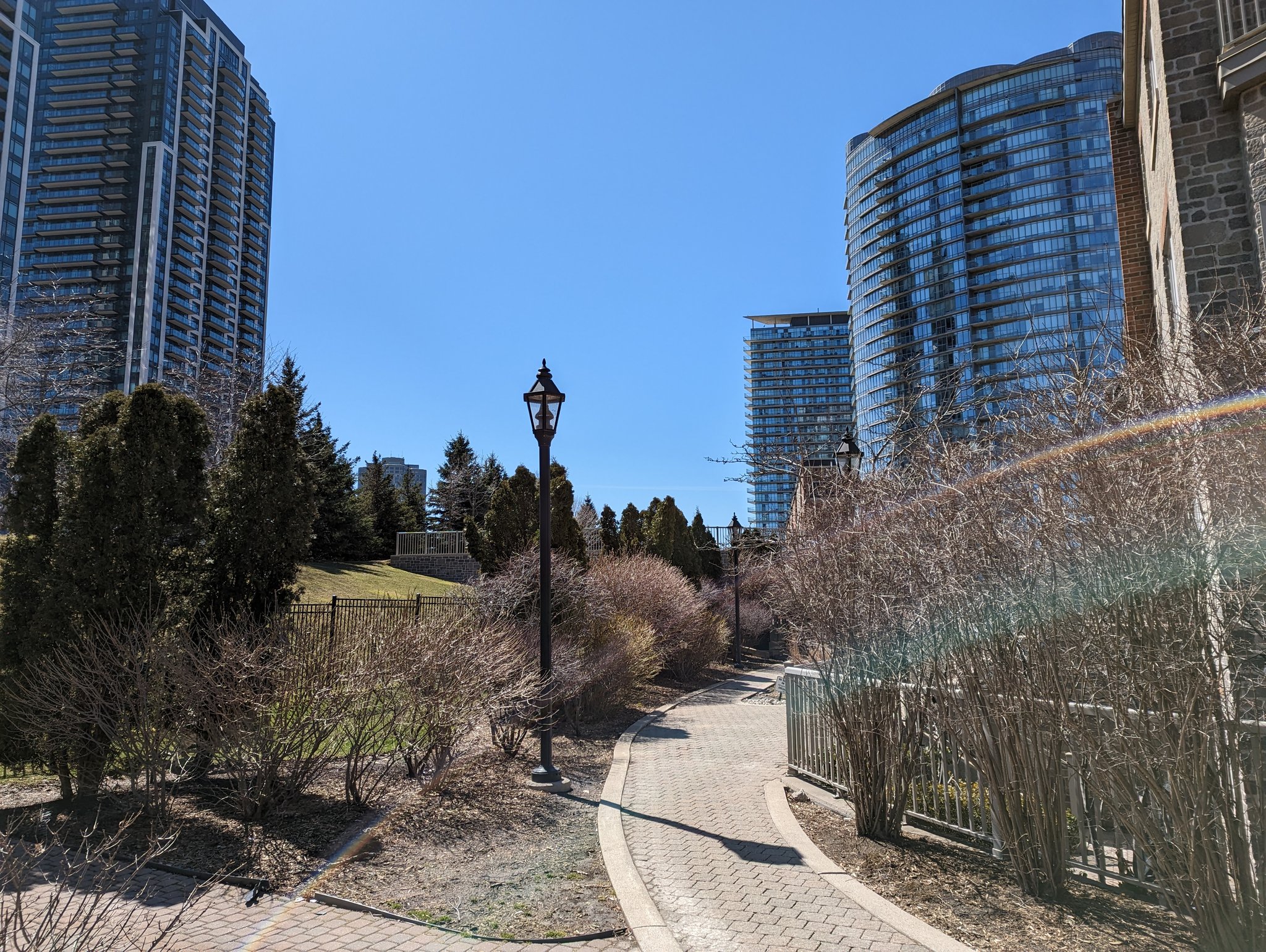
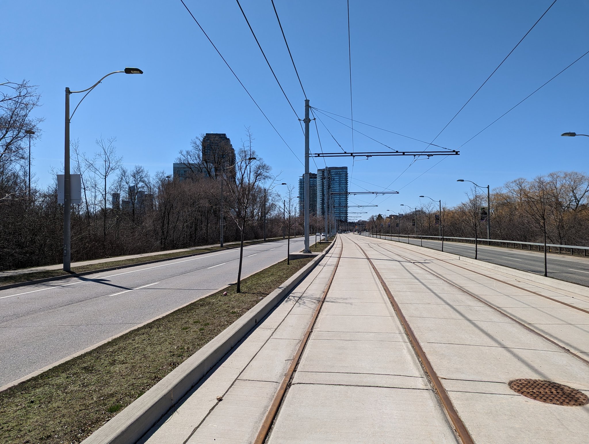
‘You miss 100% of the shots you don’t take’ or something like that. You won’t know about the hidden gems of open space if you don’t go looking for them. Queensway and its streetcar median join the fold of the transportation corridor separating High Park from the lake.


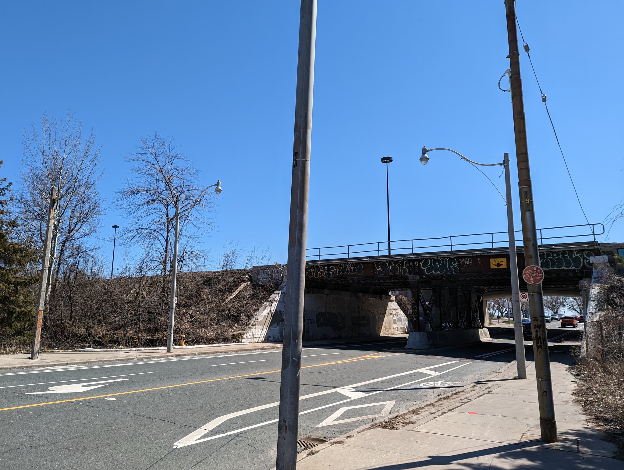
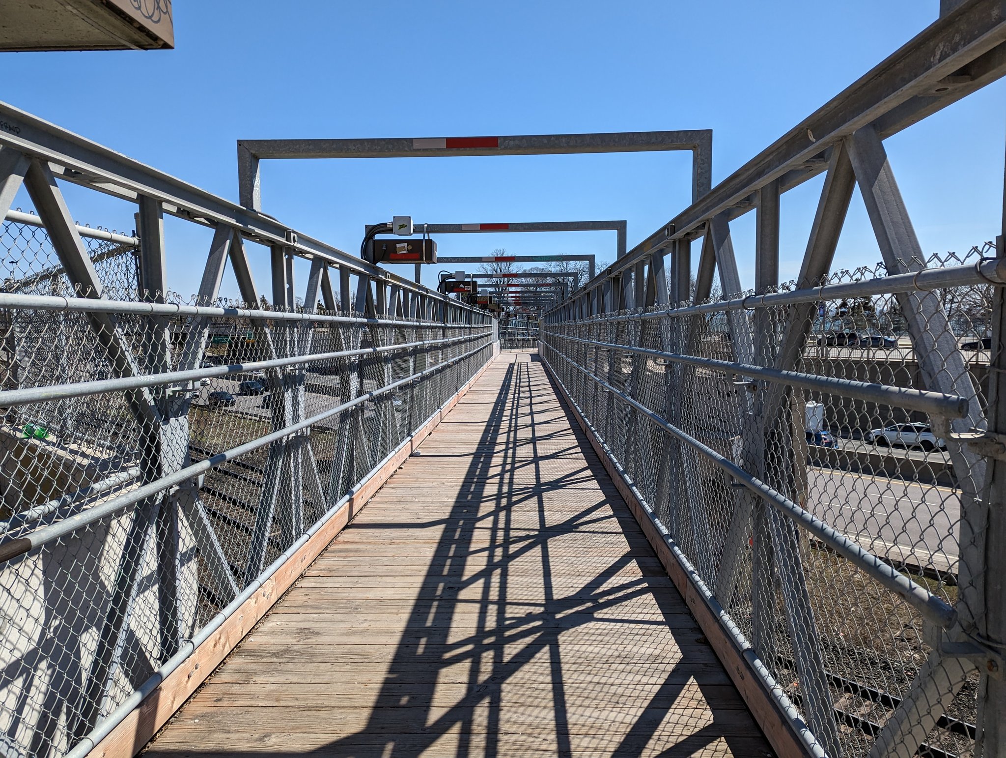
Old bridges live on here. Some soggy brush separates The Queensway from the Oakville Sub. Eventually you get to the ped overpass near King / Queen / Roncesvalles, offering a classic view to Humber Bay Shores.

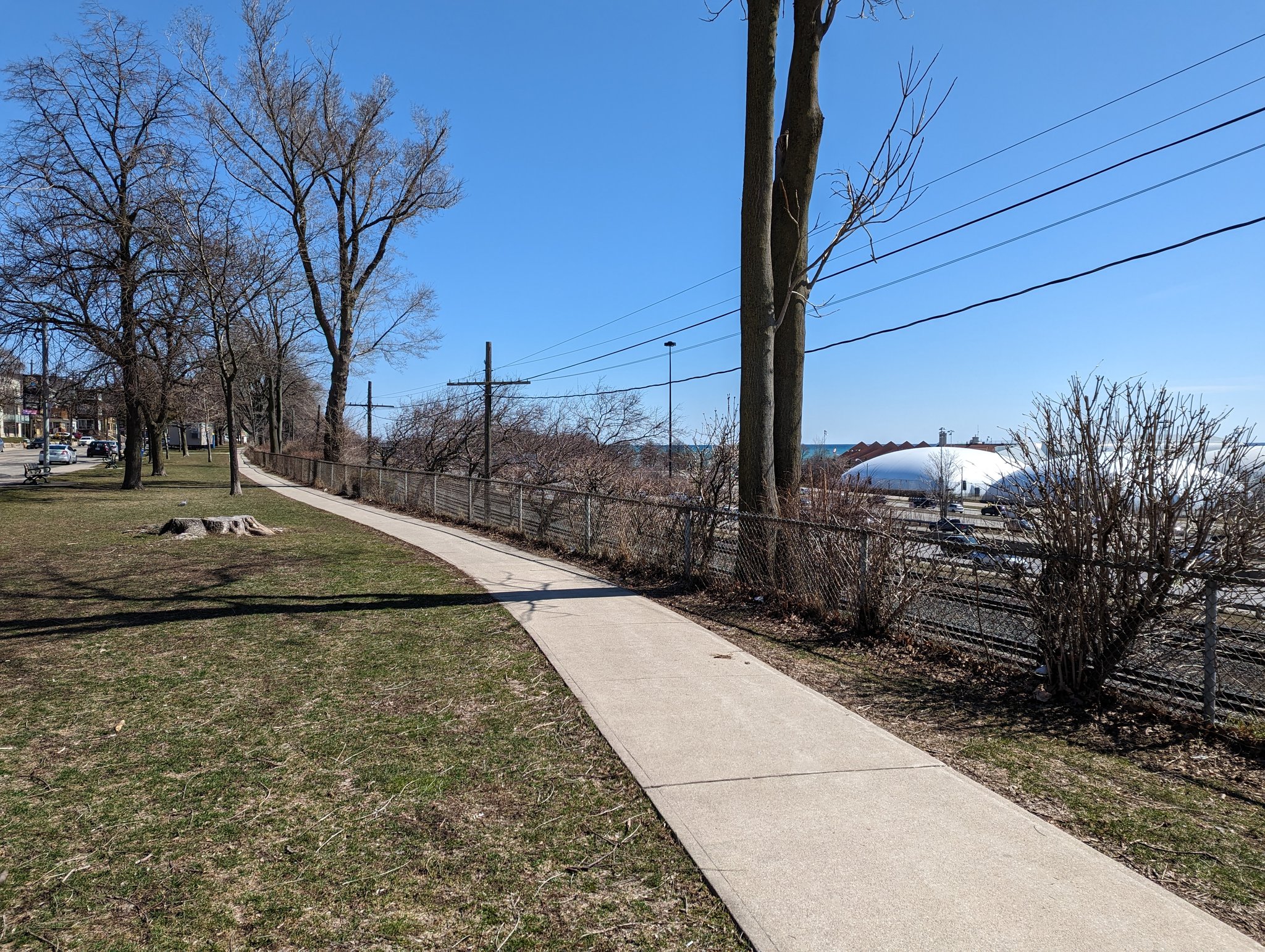
More great parallel parkland by Sunnyside, even if it’s tainted by the din of the Gardiner. A long-term temporary bridge at Dowling gives south Parkdale a connection to the lake.

Parallel sidewalk with good vegetation. A couple more temporary bridges at Dunn and Dufferin. The latter also features the old passenger platform to the Ex, with the stairs still intact.


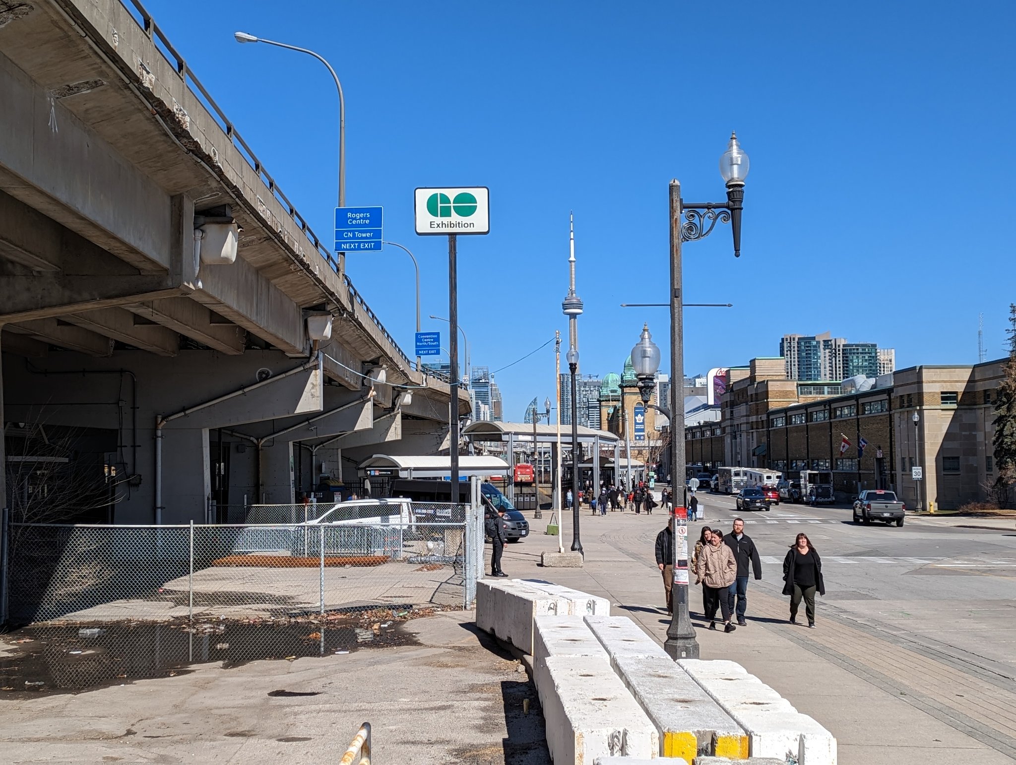
Through Exhibition GO, the last stop before Union. Technically, the line ends and becomes the collective funnel known as the Union Station Rail Corridor east of Strachan, but I gotta cover the southwest stub as an excuse to go across Garrison Crossing. First time!


Final parting shots before ending today’s walk at Union.


Bonus timelapse of, essentially, the journey in reverse.
Date: April 2, 2023
Length: 24.9 km
Type: Railway / Freeway
Related Walks
Intersecting creek upstream and downstream
Etobicoke Creek I / Shoreline I
Intersecting lost creek
North and Jackson Creeks
Two more intersecting lost creeks
Bonar and Superior Creeks

Intersecting creek upstream
Mimico I
Intersecting river and ponds upstream
Lower Humber III / High Park
Shoreline to the south
Ontario Place