Good morning from Stoney Creek. Today I will be tracing Canadian Pacific’s Hamilton Subdivision, starting around where it begins climbing down the escarpment into the city. Let’s go.


The CP tracks start their descent from the tabletop east of this crossing at Dewitt Road. I’ll have to follow the Bruce Trail to stay with them, but it’s not my only objective today. Two waterfalls are near the crossing: Ridge and Dewitt Falls.

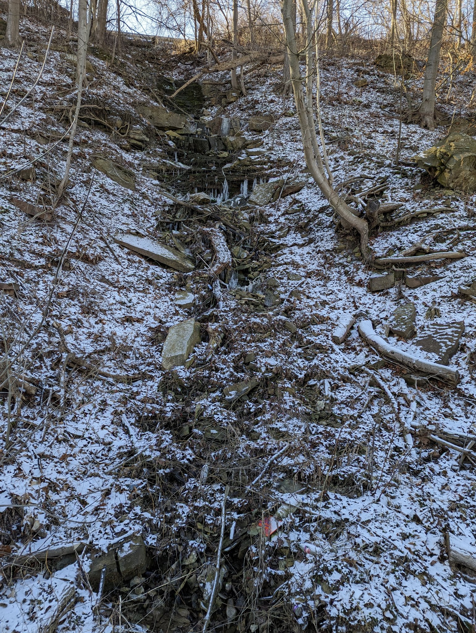

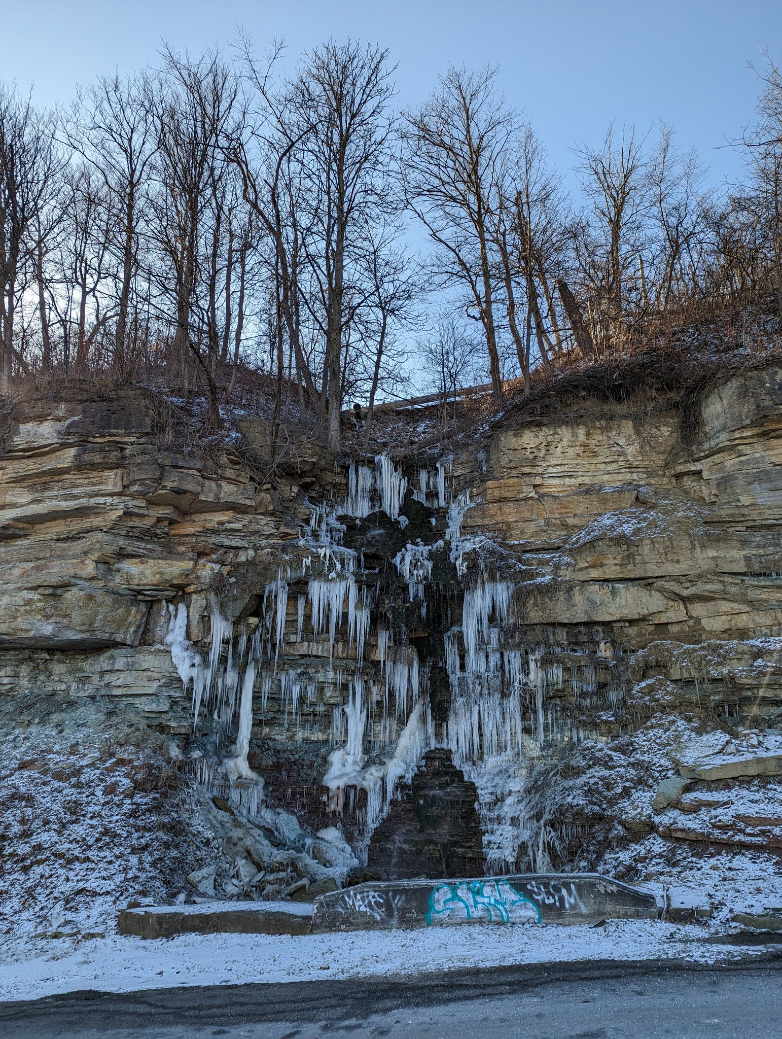
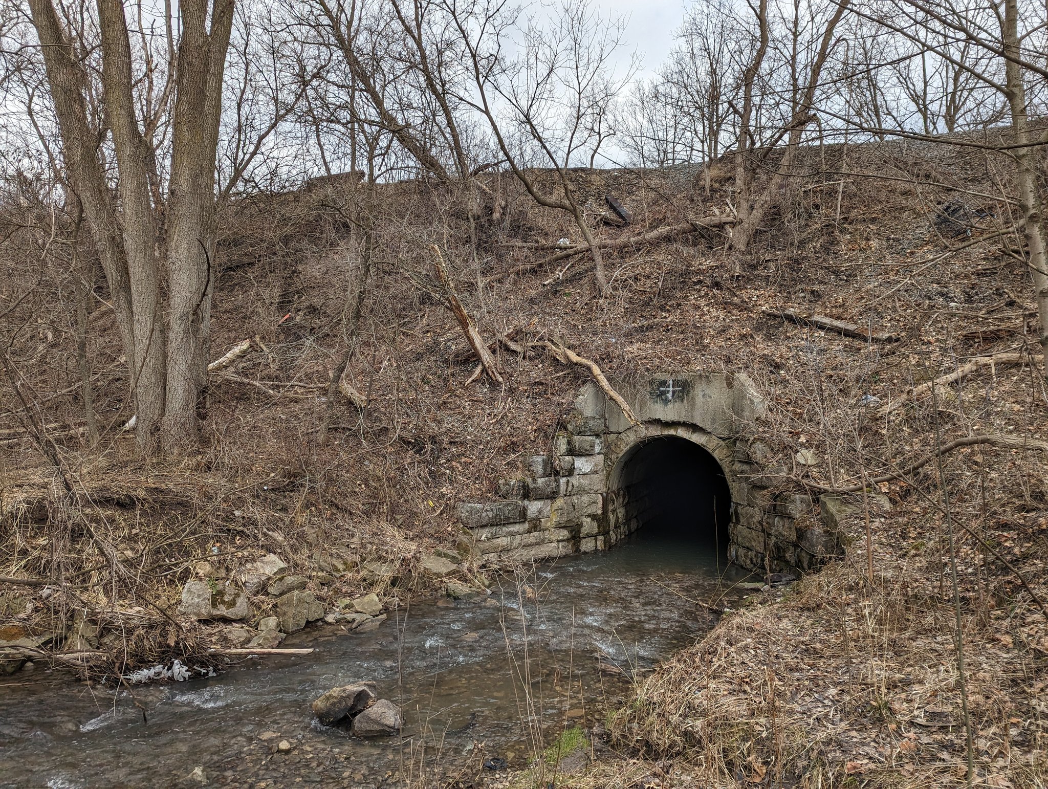
Erland Falls is the product of a culvert under Ridge Road, west of Dewitt Road. A shot from the brow, now back down.

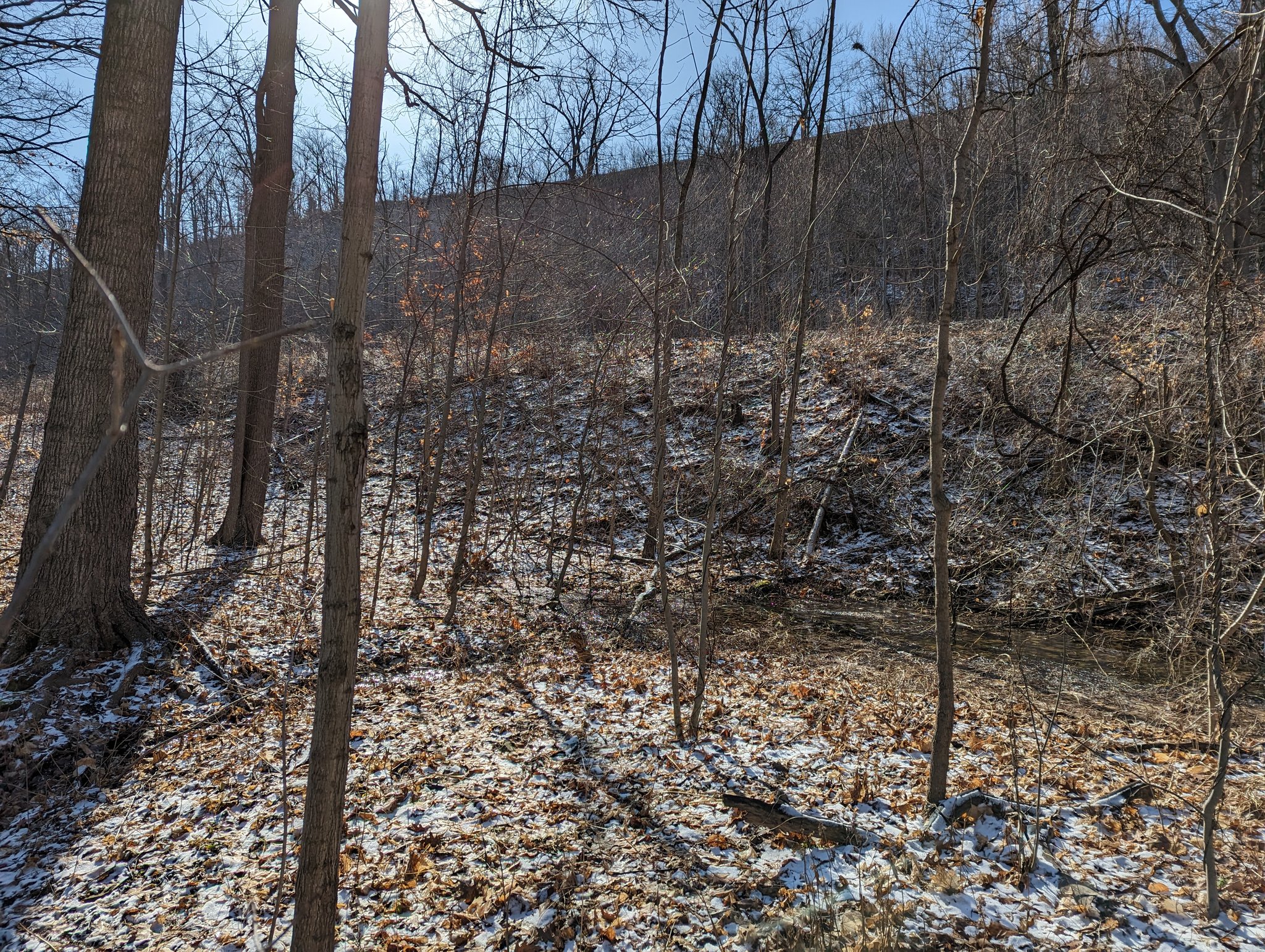
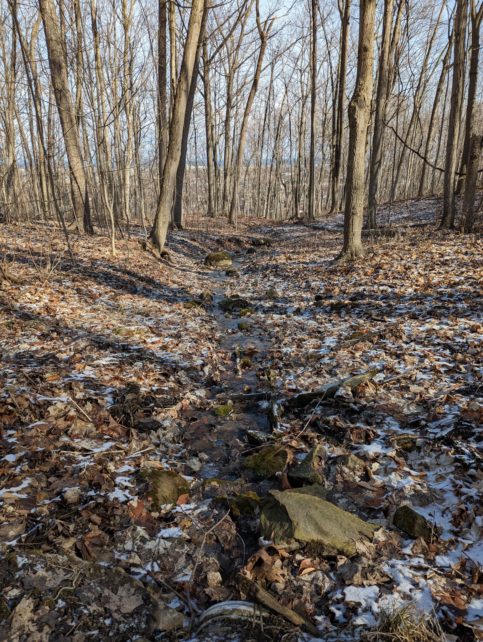
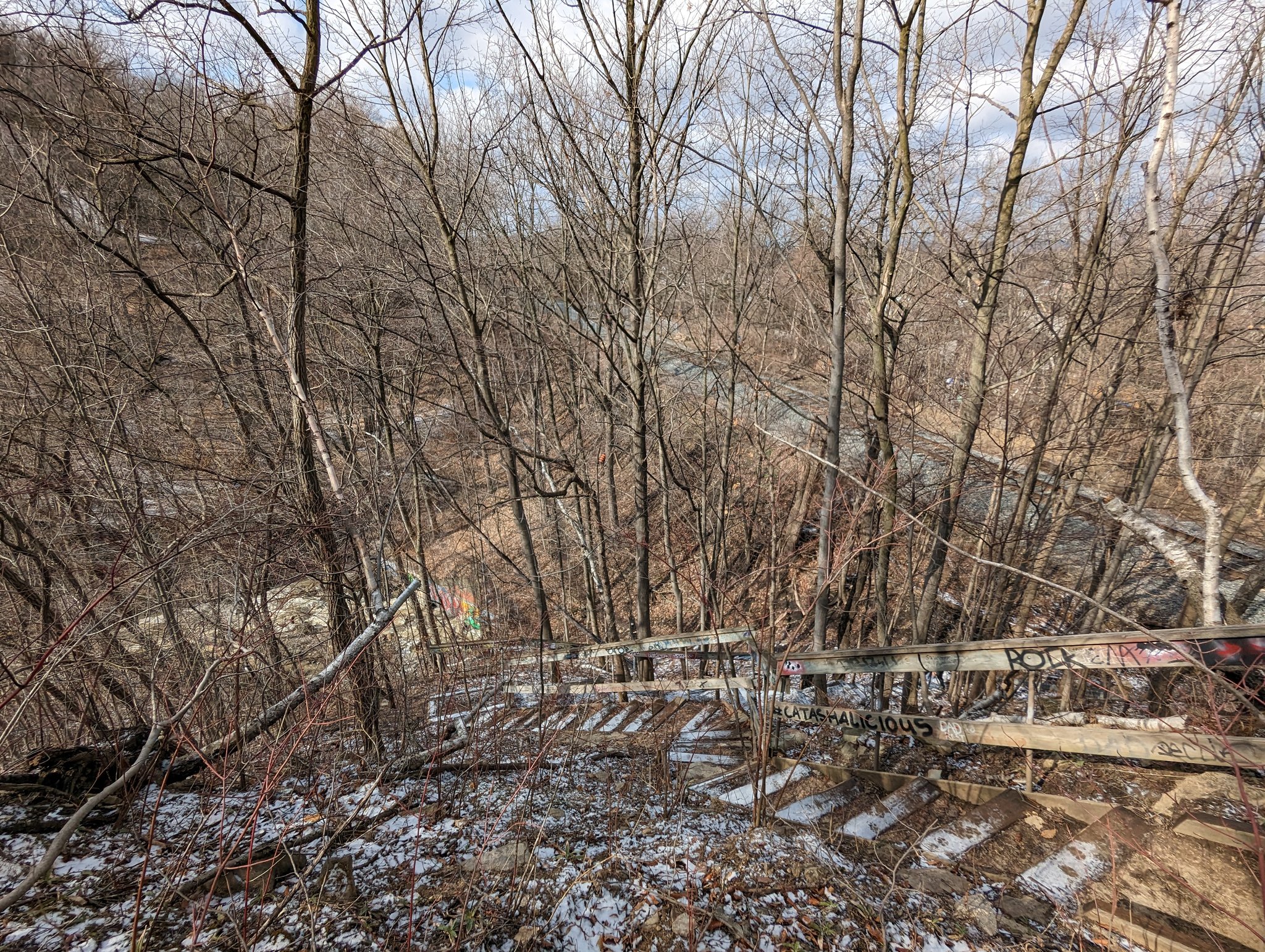
Down the eroding escarpment face and onto the trail below. The tracks keep making their cut above, and you cross the downstream cascades.

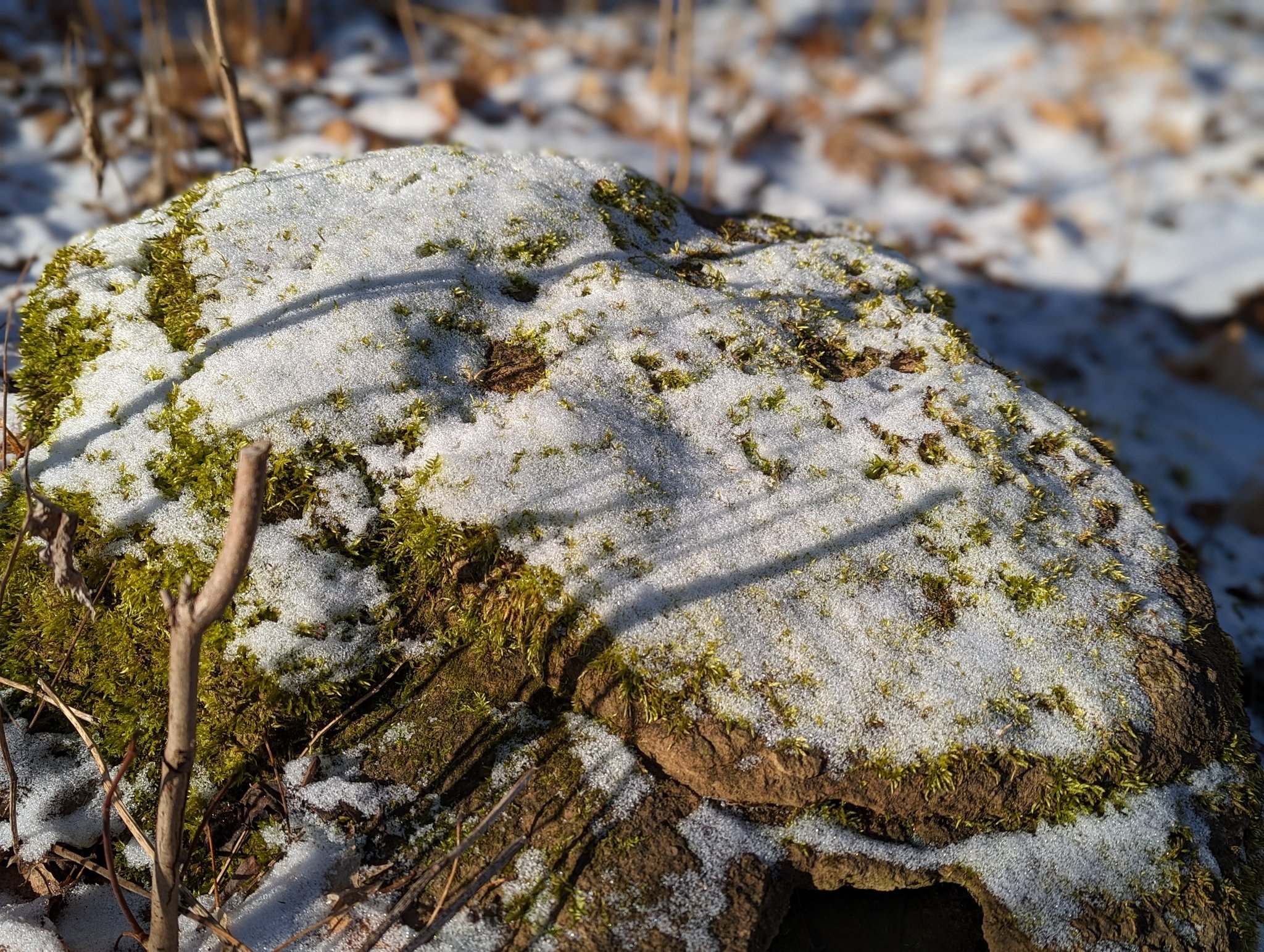

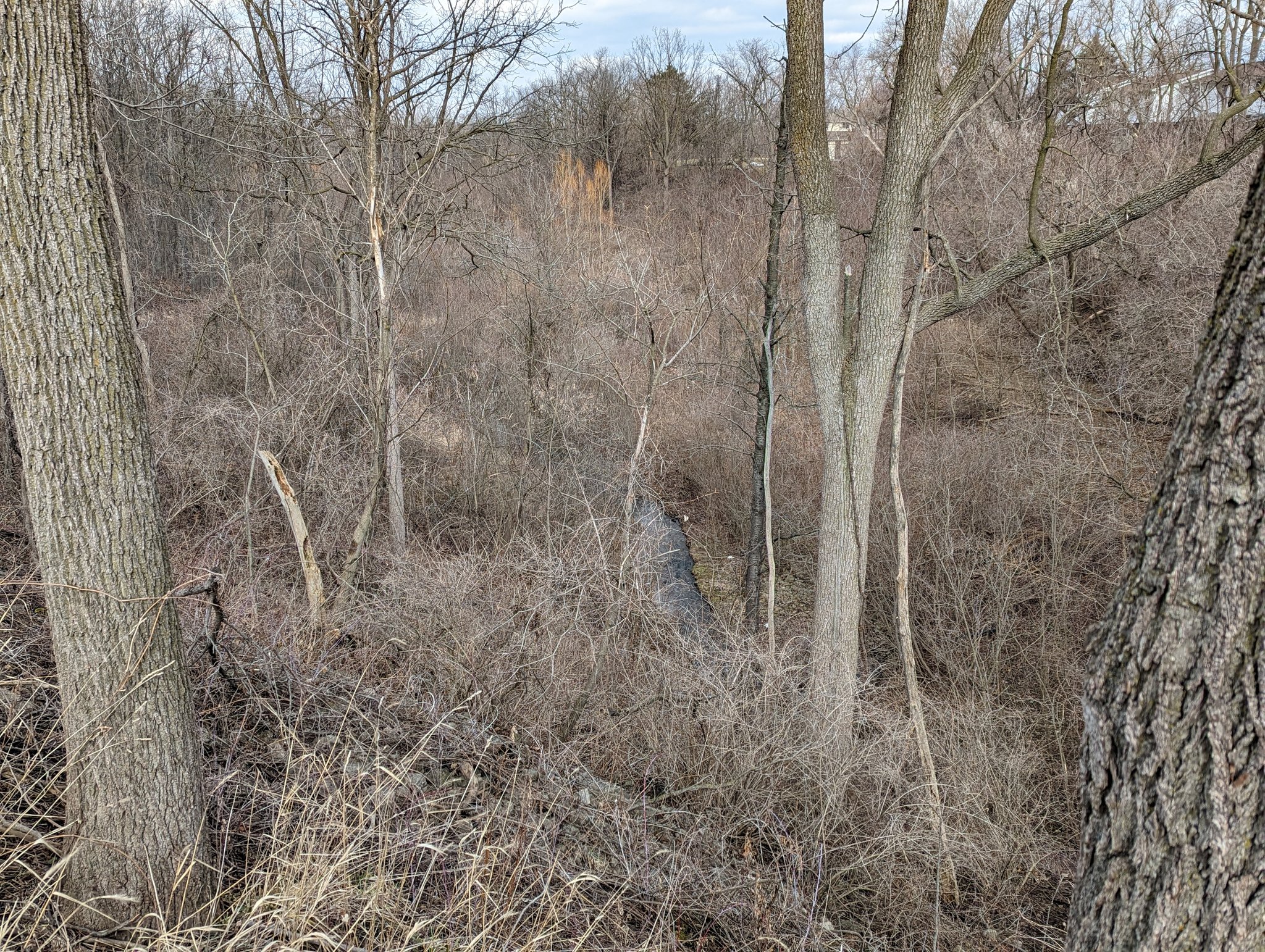
The line between a waterfall and riffled stream is very fine. Same goes for the line between a surface stream and groundwater seepage. The way the railway berm pools water uphill and downhill also messes things up.


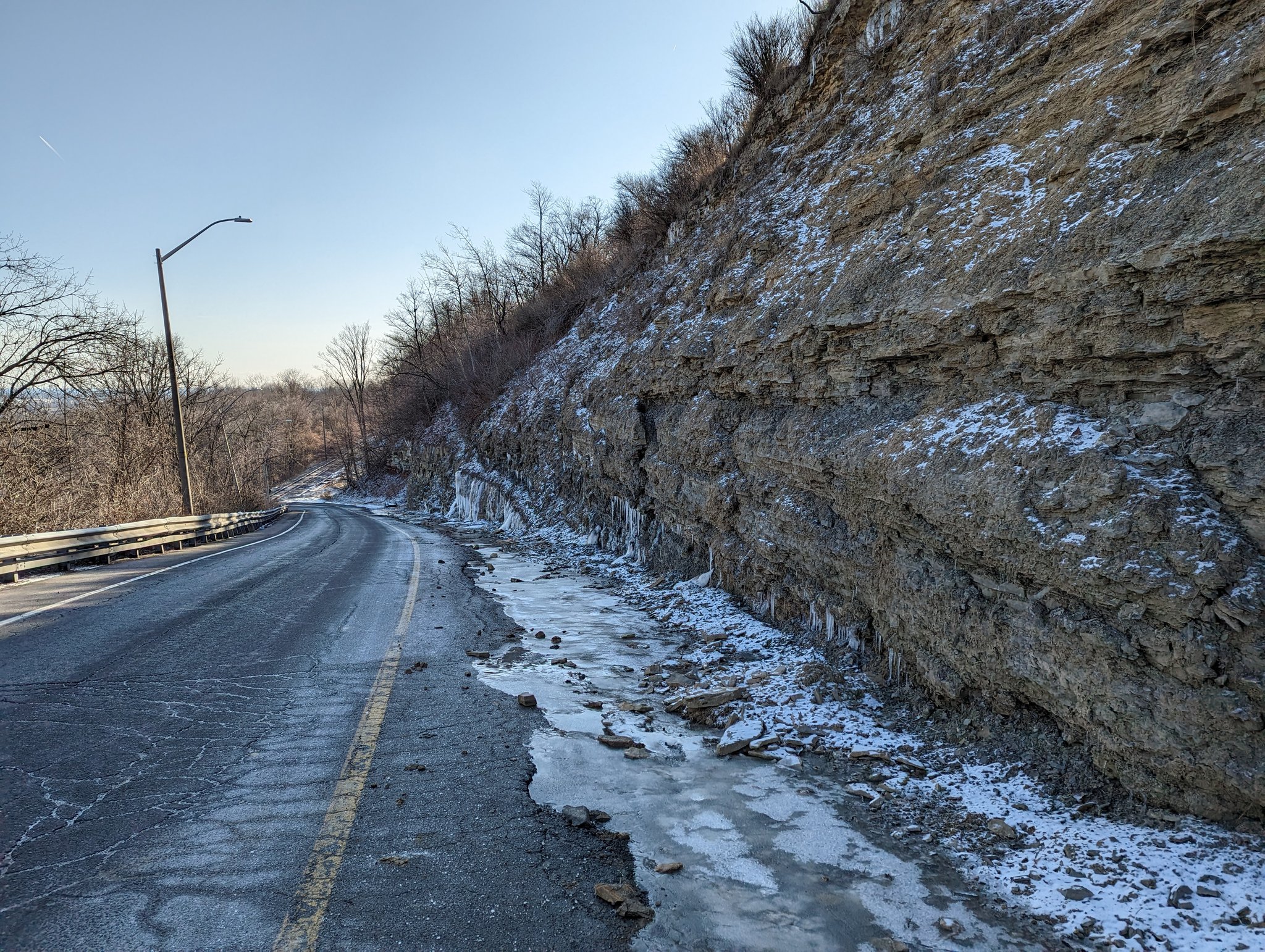
I assumed the tracks rode a wide enough cut that it was on grade the whole time. Guess that was a bad assumption, found this curious bridge structure south of Green Road.


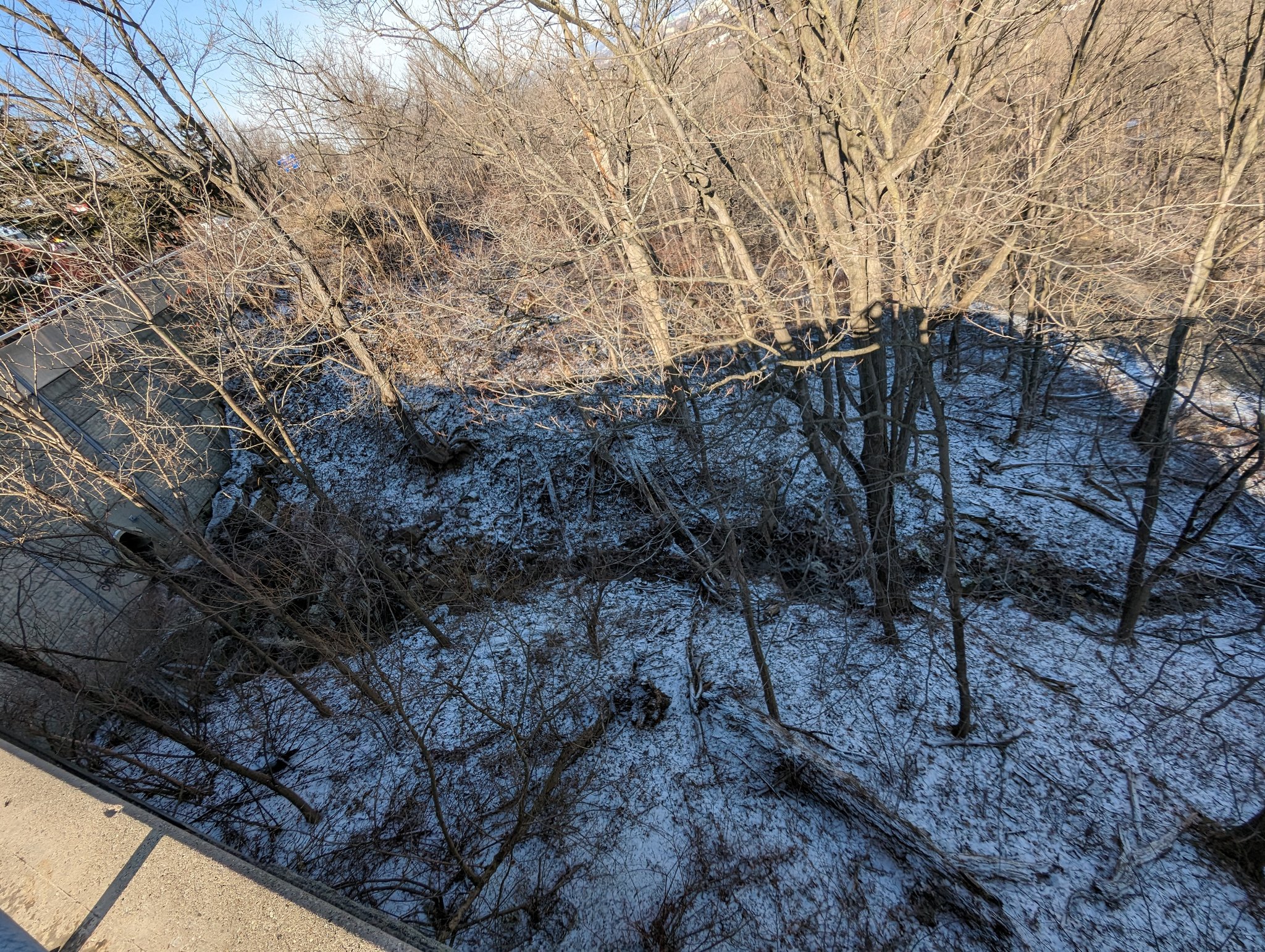
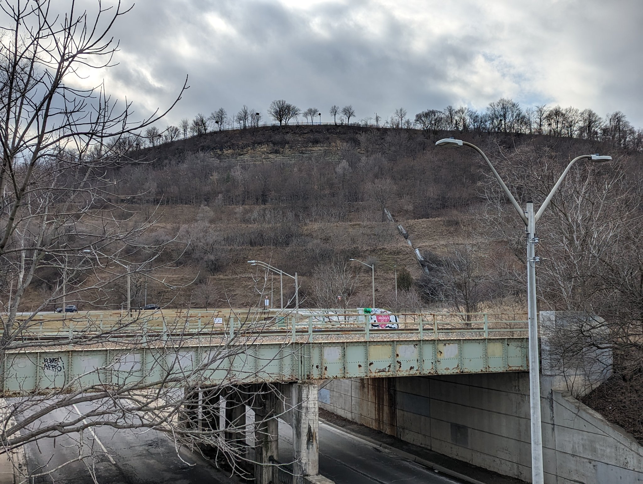
The trail’s topography continues to be dramatic, and takes you to New Mountain Road, where you cross the tracks. The bridge and road underneath collude to give you a peek down slope.


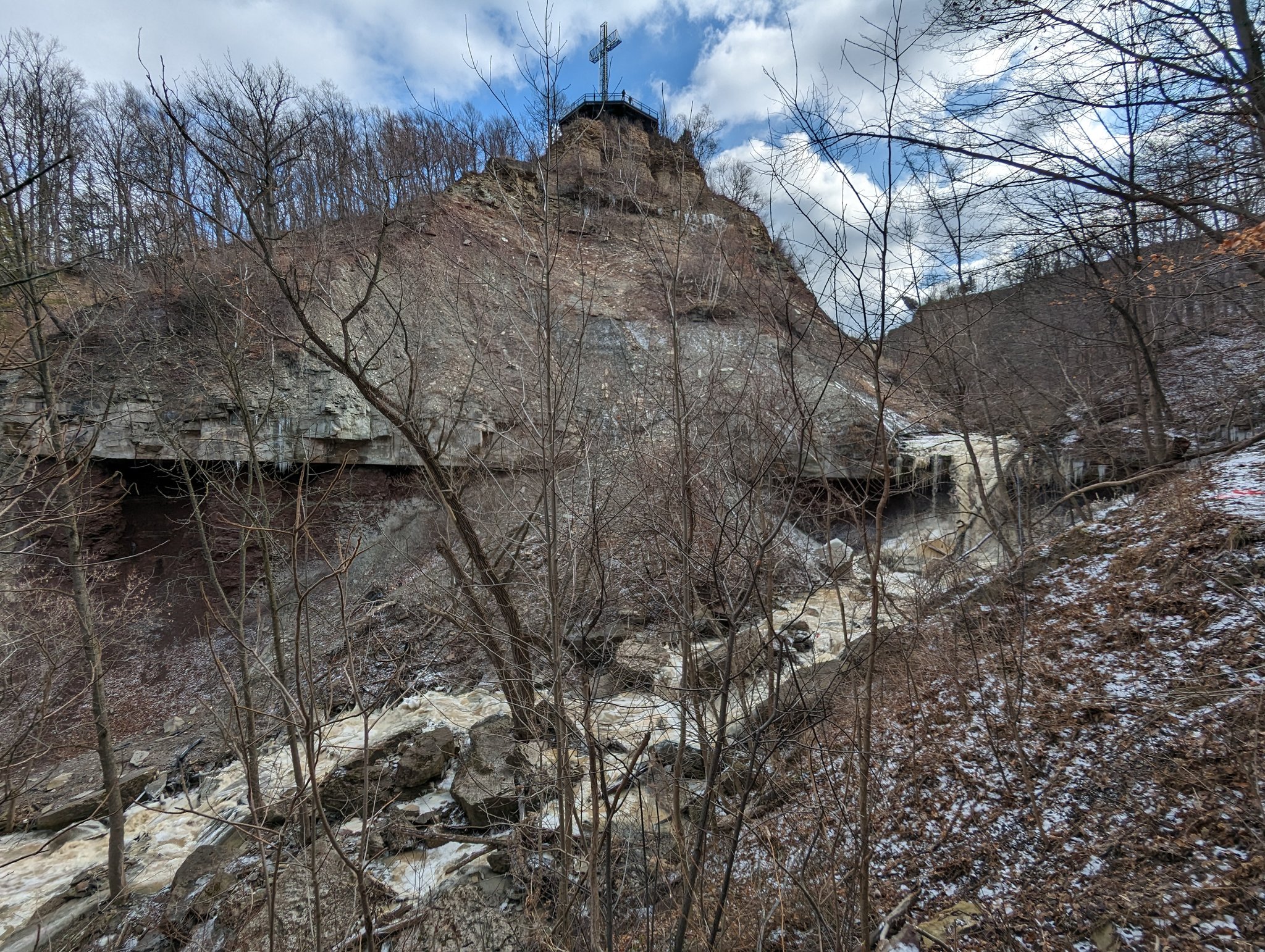
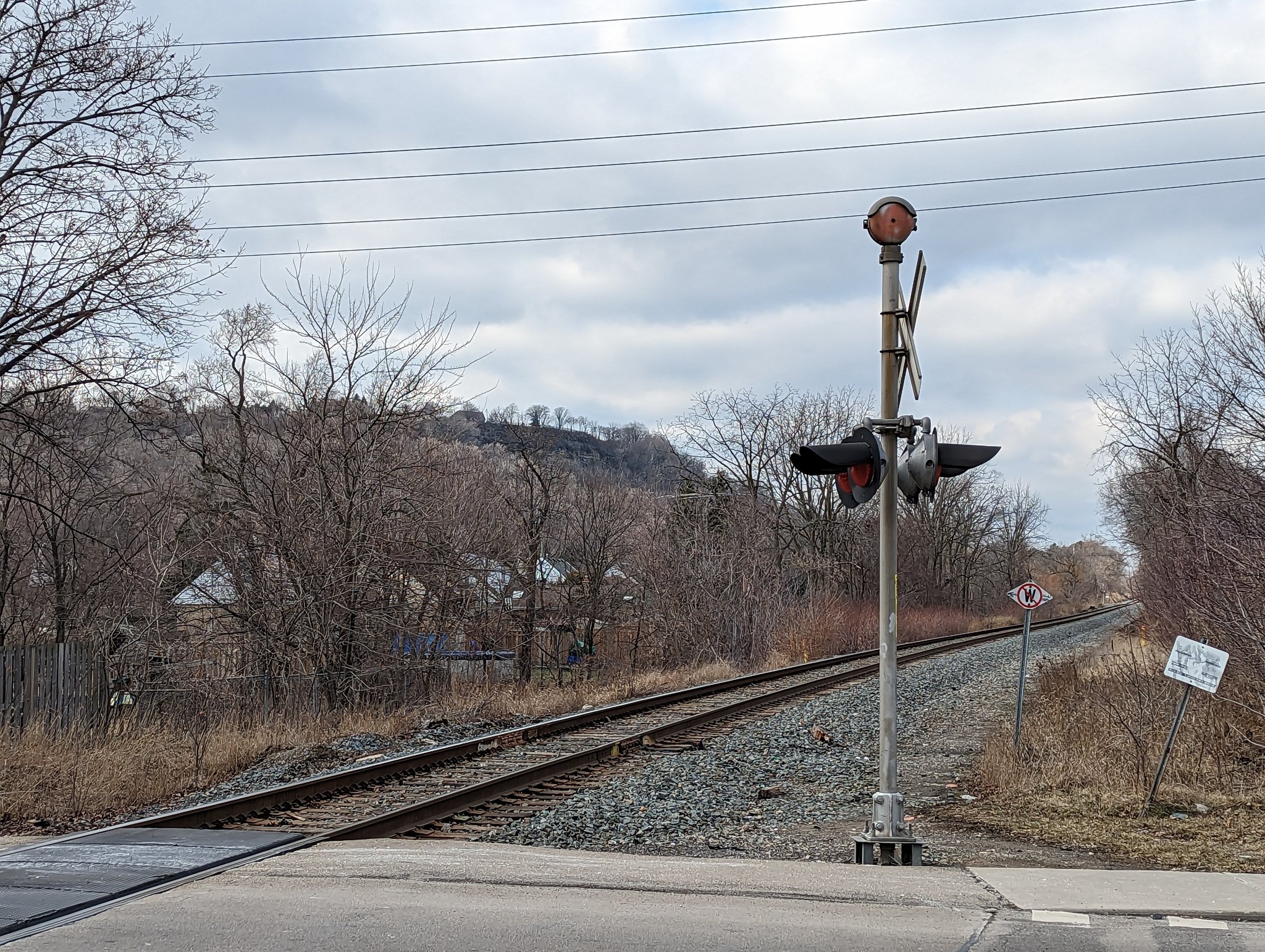
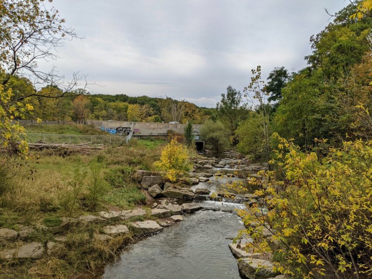
The railway intersects Stoney Creek (the watercourse) near Mountain Ave South. This is home to Devil’s Punchbowl, a famous pair of Hamilton waterfalls consisting of the upper falls and lower falls / cascade. This also marks the end of my documentation of falls near the tracks.


Back north of the tracks and through local streets until the tracks fly over Battlefield Creek. Then it’s under Centennial Parkway and onto the Bruce Trail again.


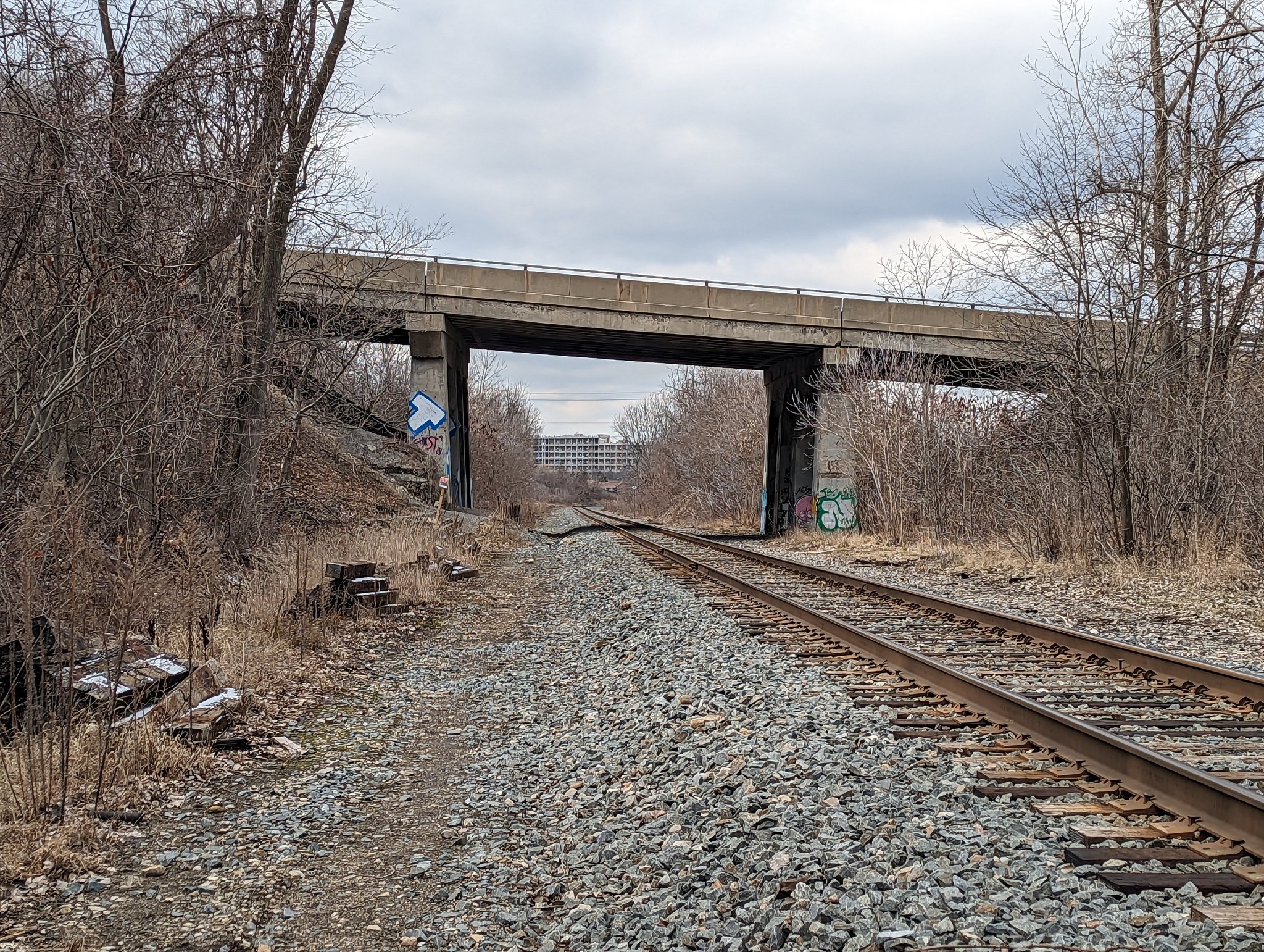
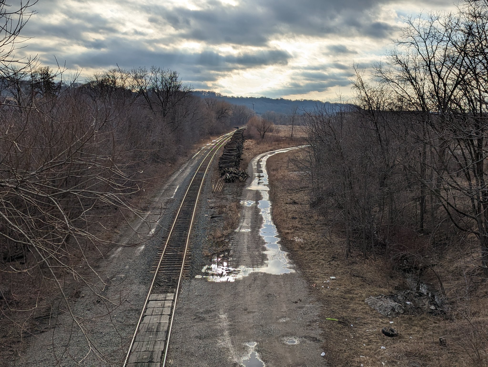
The tracks continue westward past a large reservoir, and over Felker and Glendale Creeks. Navigating through these ravines and around nearby residential complexes is difficult.

Through Red Hill Valley, the escarpment is no factor for the tracks. They sever a hydro corridor west of Cochrane Road, an active transport crossing here would be a hard sell given the road’s so close.


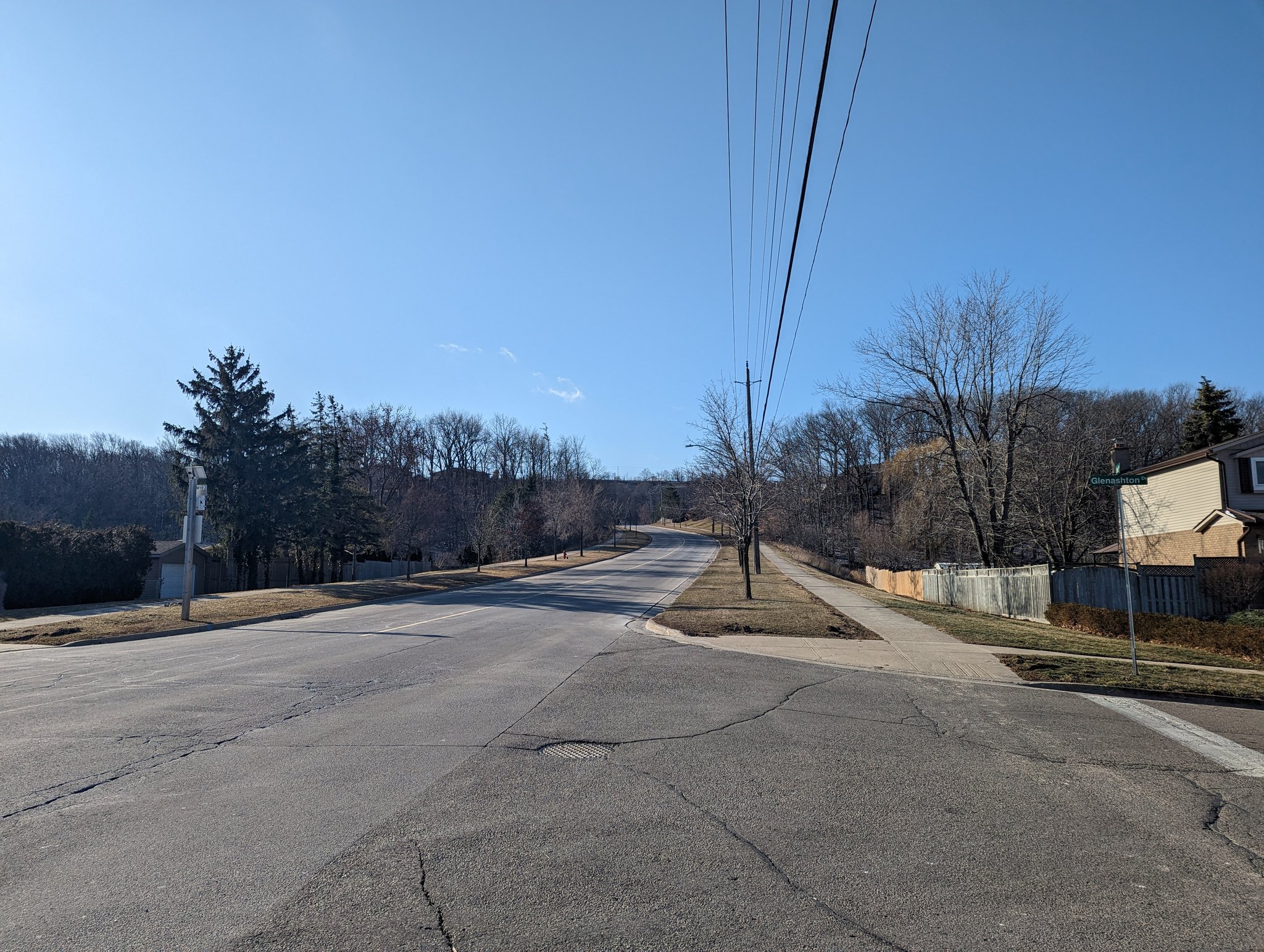
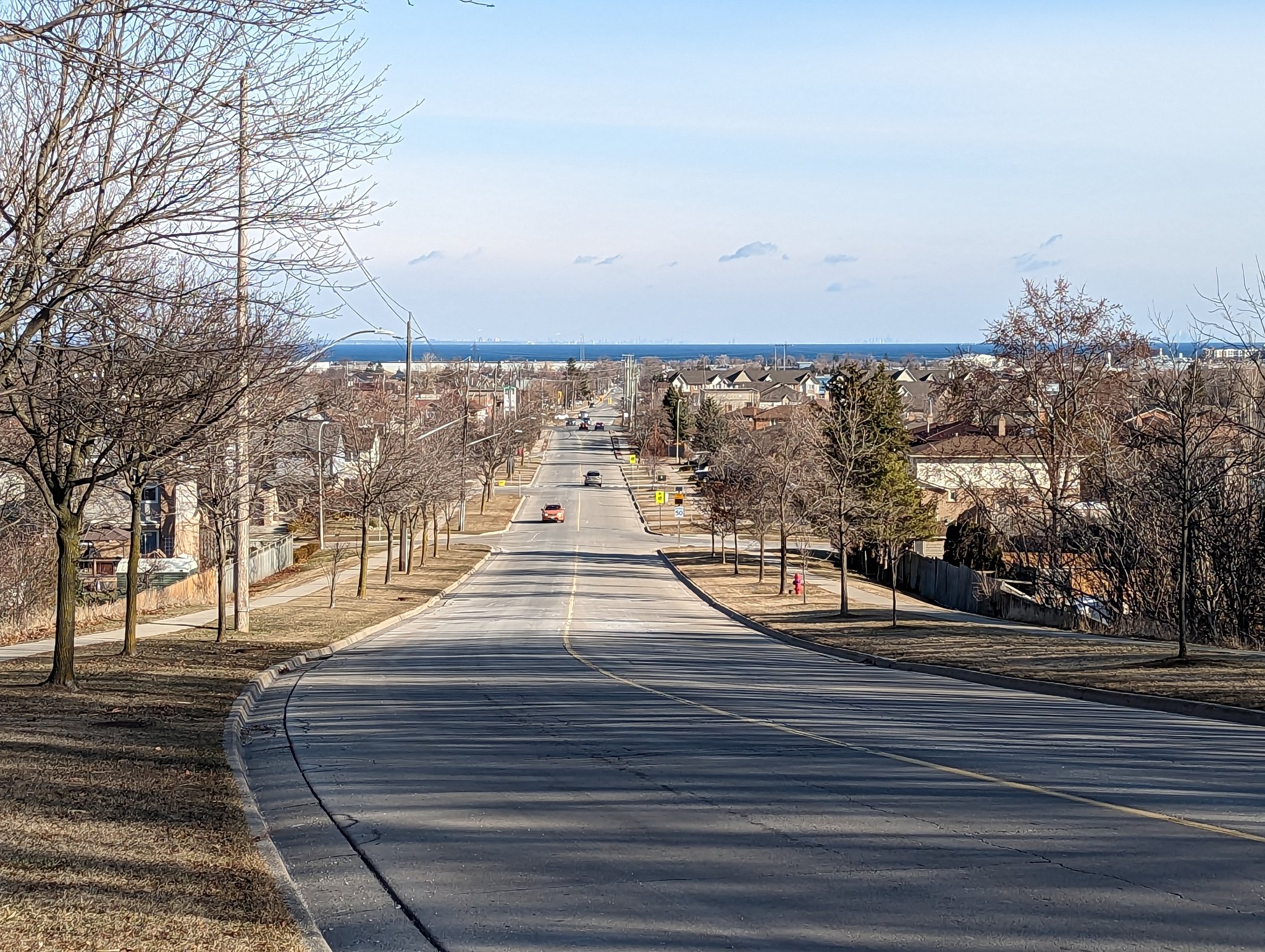
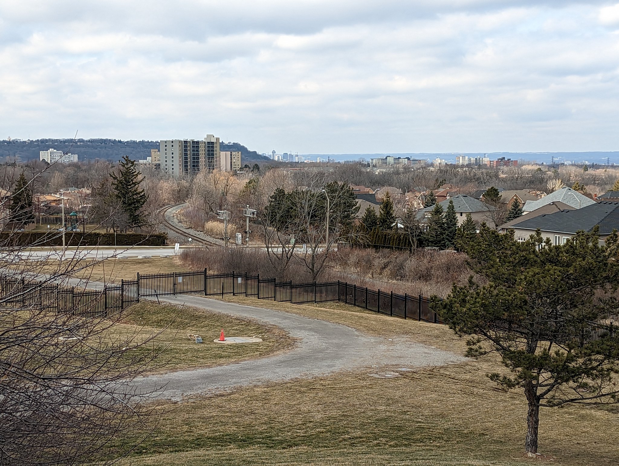
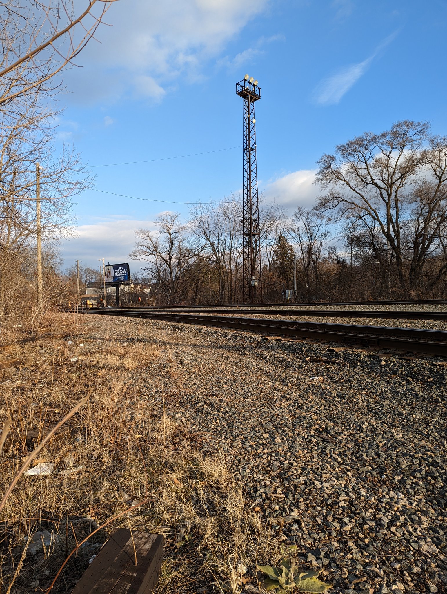
A bit more zagging through low-density streets until Lawrence Road, which is directly adjacent to the tracks. The Kenilworth Access starts up the escarpment on the other side, so you could argue this is the toe of the mountain. Downtown is now coming into view.


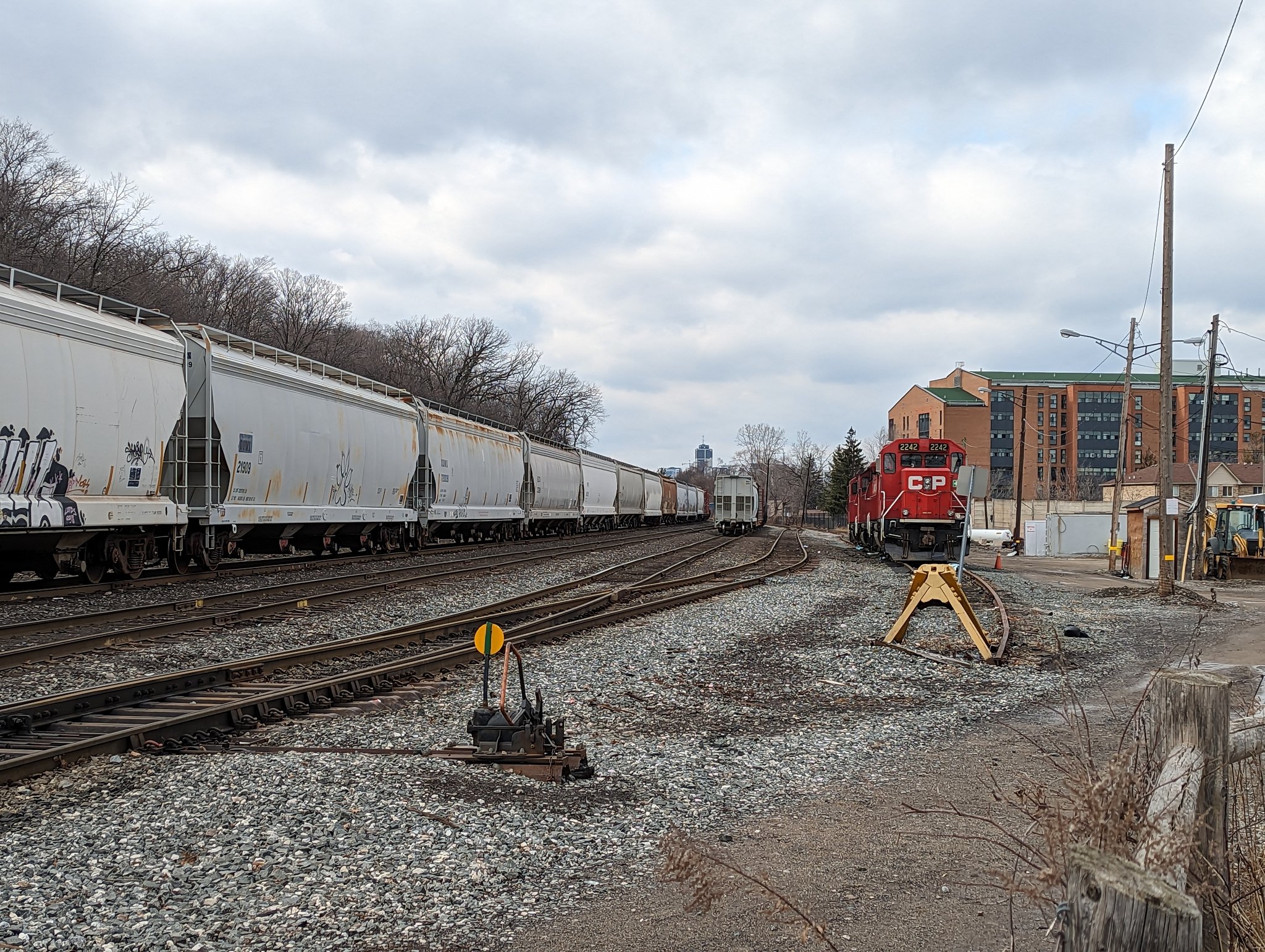
Past a wye that connects CP to the industrial harbour, and along Cumberland. Lots of old townhouses and past industrial/commercial use between this avenue and the tracks. Towering apartments and a hospital on the brow. Across the tracks to the Escarpment Rail Trail.


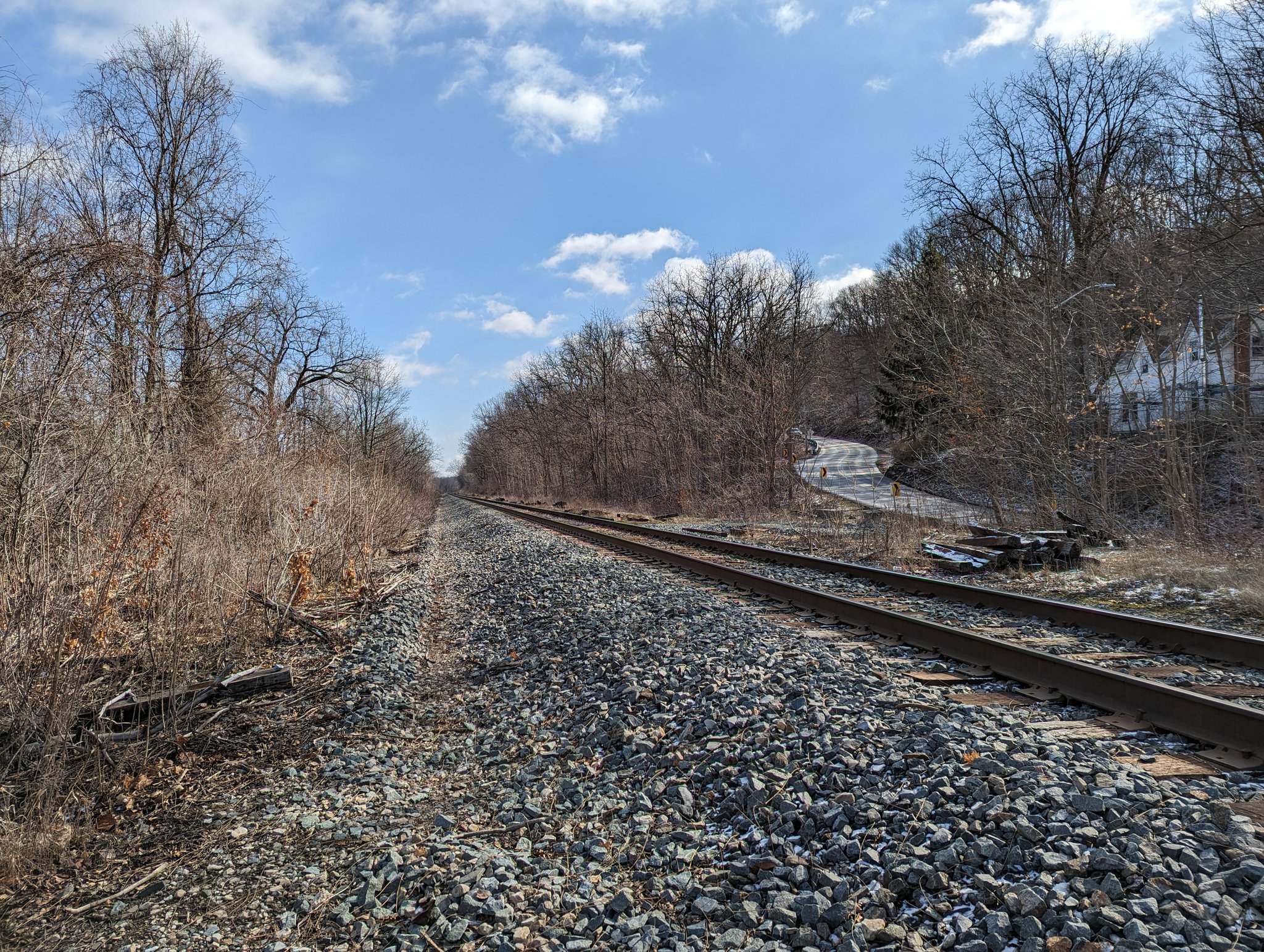
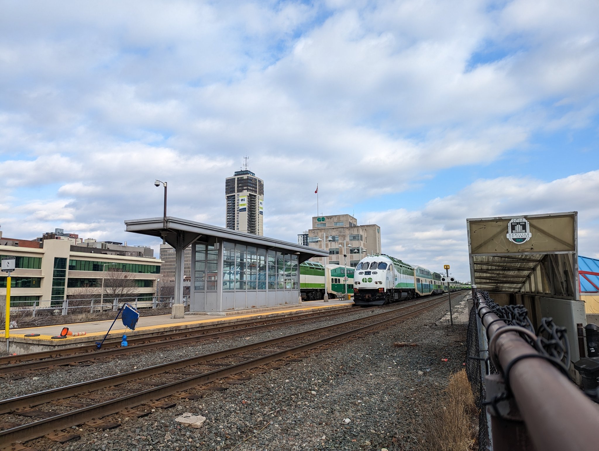
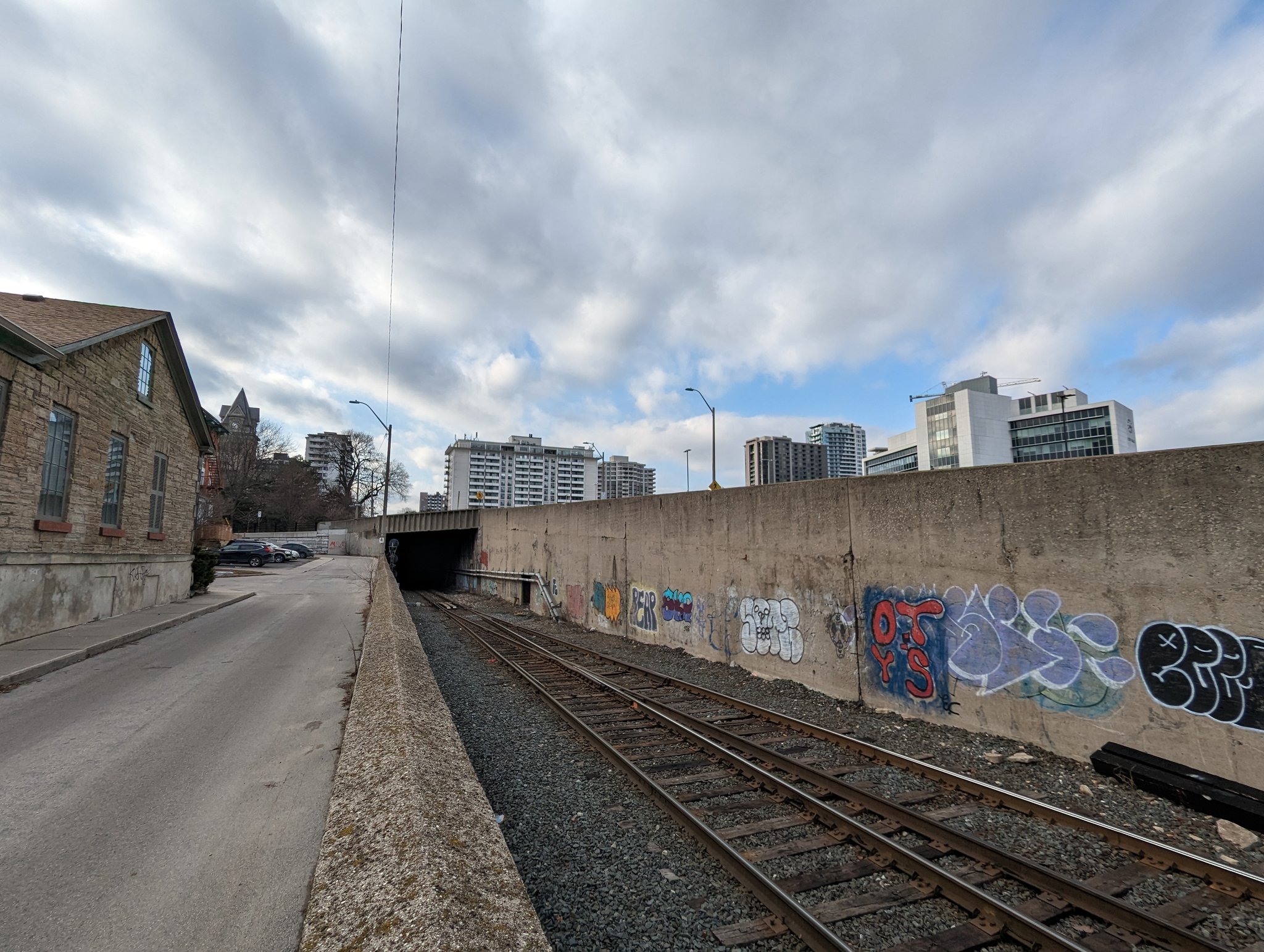
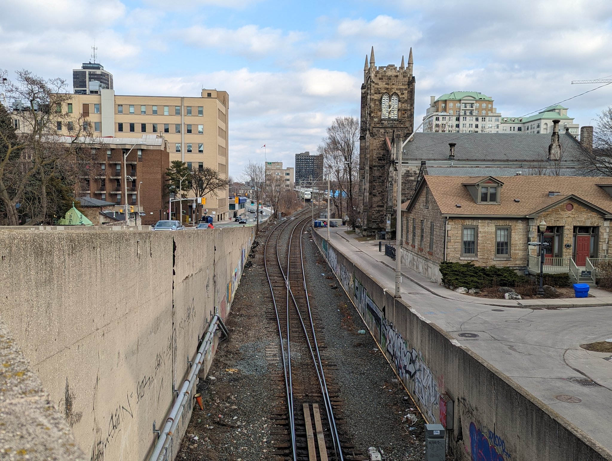
The old mountain pass meets a current one. We come into downtown and meet GO’s branch for downtown commuters. Stampings for TH&B RY (Toronto Hamilton and Buffalo Railway), the old track owner, still grace the underpasses.
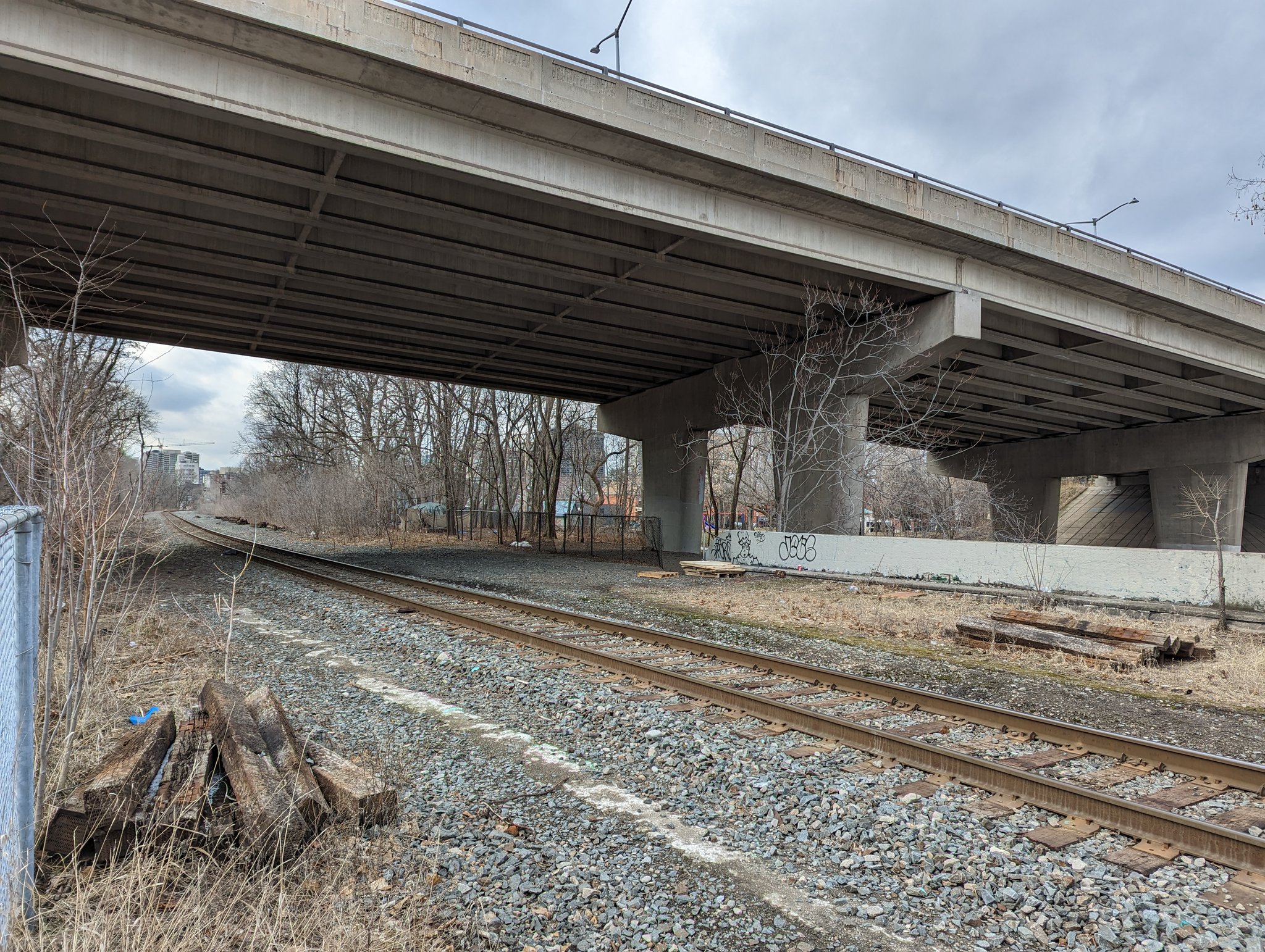

A rare thing in southern Ontario cities: a railway tunnel. This goes for almost 600 metres under Hunter Street, before popping back out into an open trench.
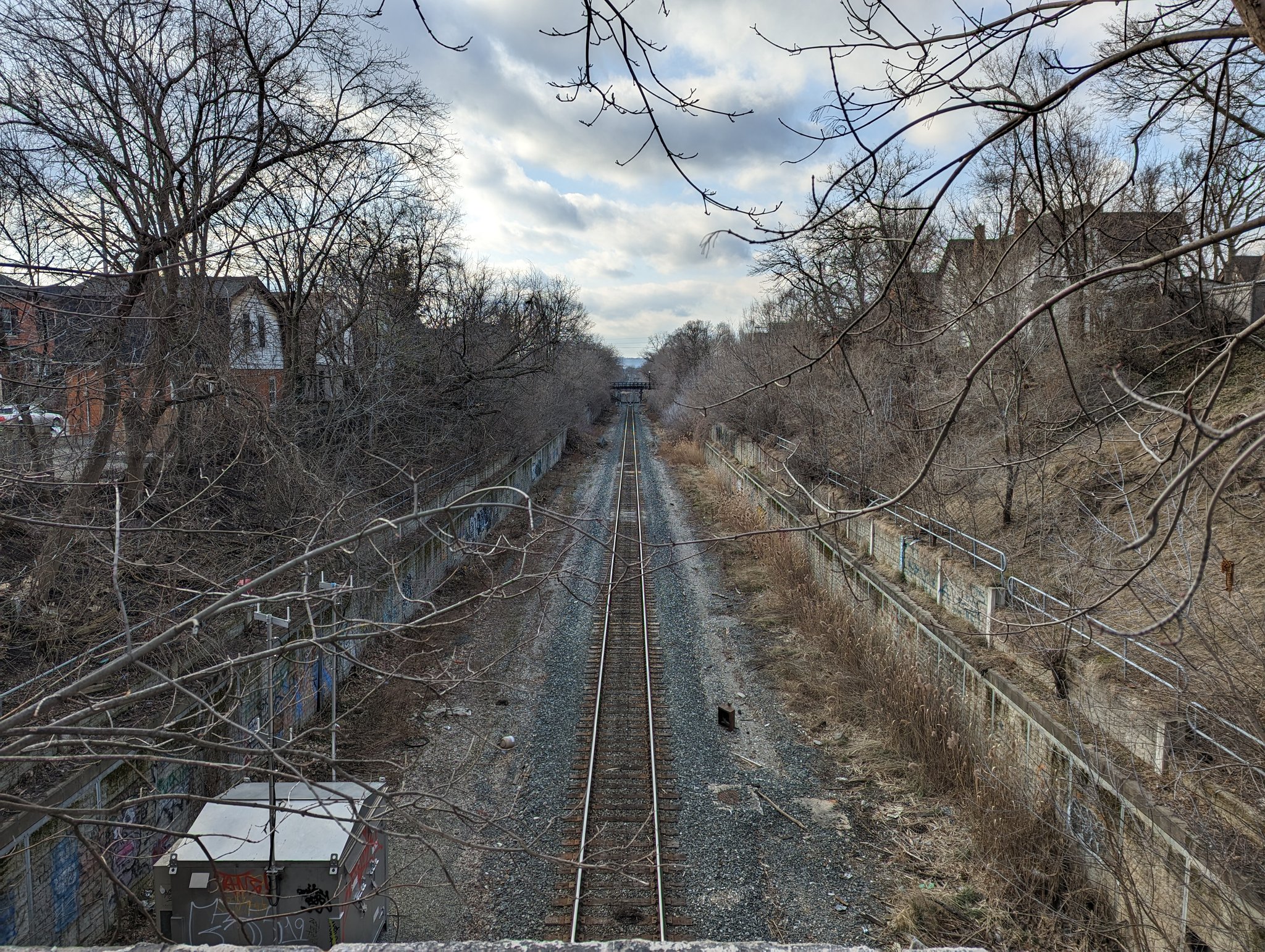

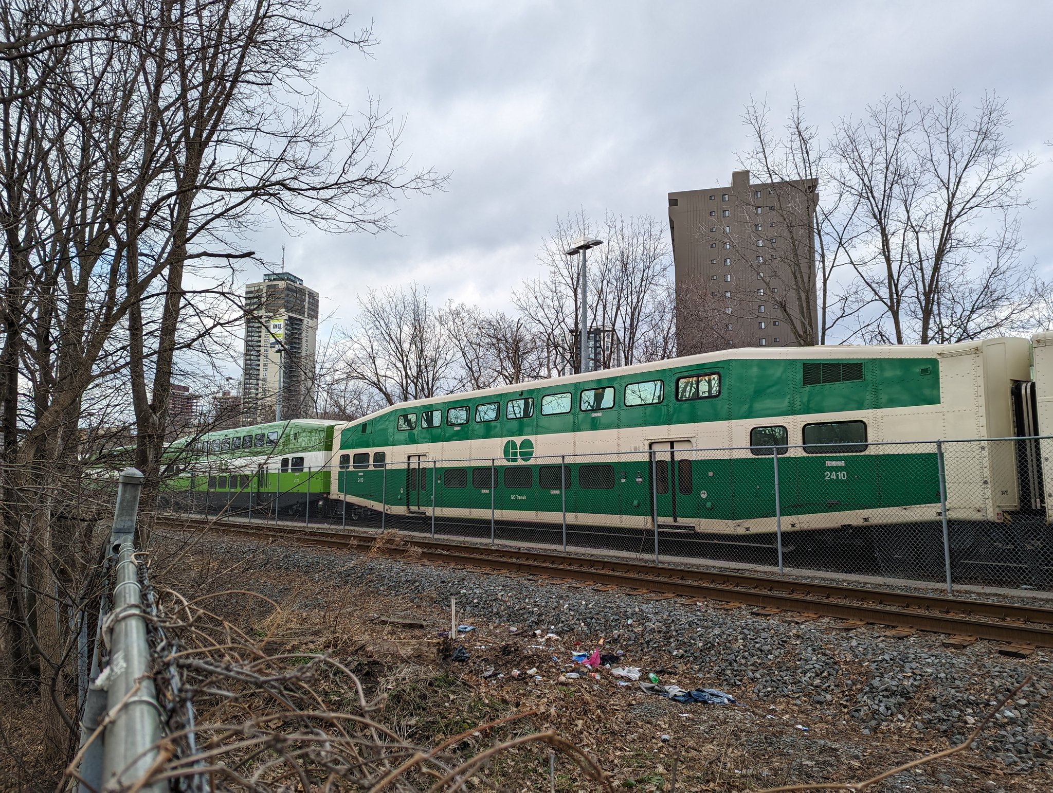
My previous walk along the Escarpment Rail Trail traced the Hamilton Subdivision to it’s connection with CN’s Oakville Subdivision, which allow GO trains to head northeast to Toronto. Today, I’m capping this walk off by heading along a spur that goes south to CP’s Aberdeen Yard.
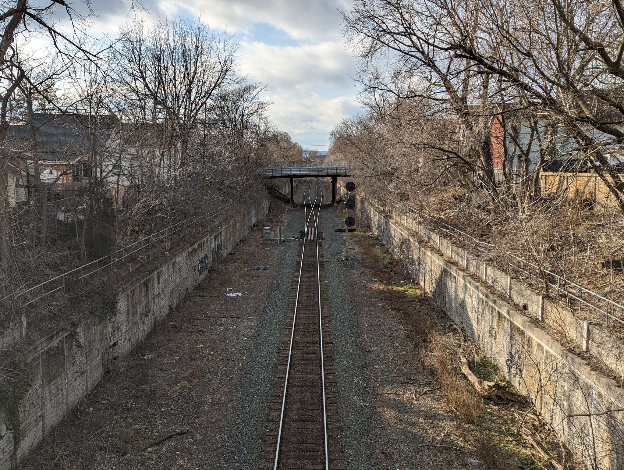

This spur will sail by an LRT yard, if it gets built. It then crosses Aberdeen Avenue and expands into a large yard and maintenance depot. Once upon a time, the tracks continued west to Brantford, but it’s now a rail trail. That ends today’s walk.


Date: February 18, 2023
Length: 23.3 km
Type: Railway / Freeway
Related Walks
Intersecting two creeks
Stoney / Battlefield Creeks

Intersecting creek / expressway
Red Hill Creek
Former railway adjacent
Escarpment Rail