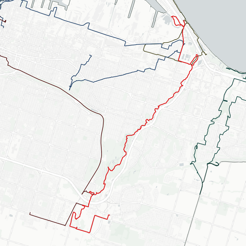
Good morning from south central Hamilton. Today I’ll be following Red Hill Creek, from where it’s headwaters cross Rymal Road, down the mountain into Hamilton Harbour. Let’s go.


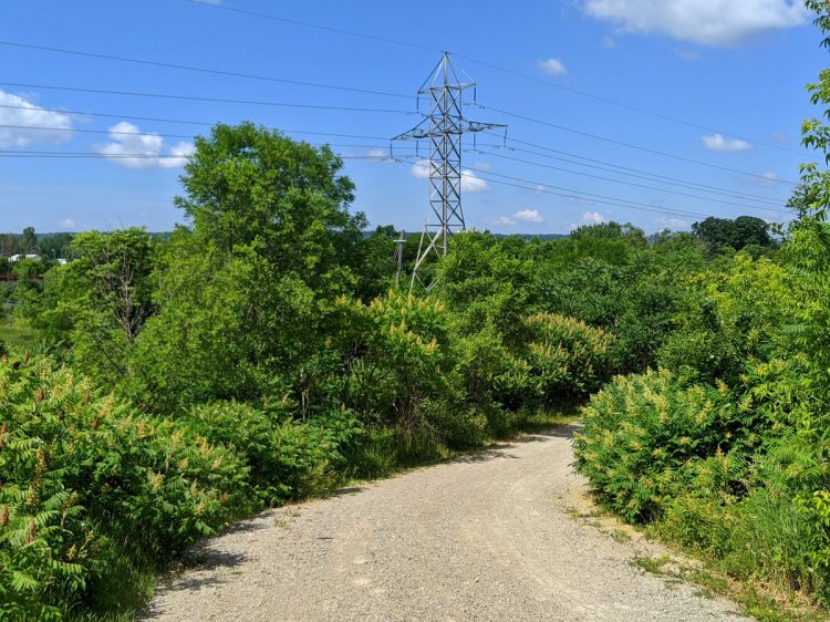
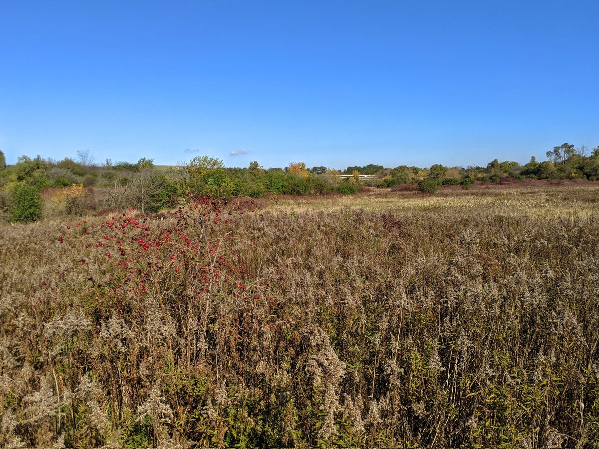
Red Hill Creek’s headwaters have three or four main branches that come together south of Rymal Road. The branch with the most baseflow comes from the southwest, going over the Billy Monkley Cascade before continuing north.


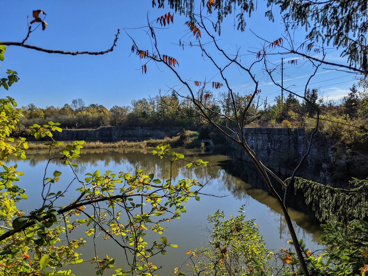
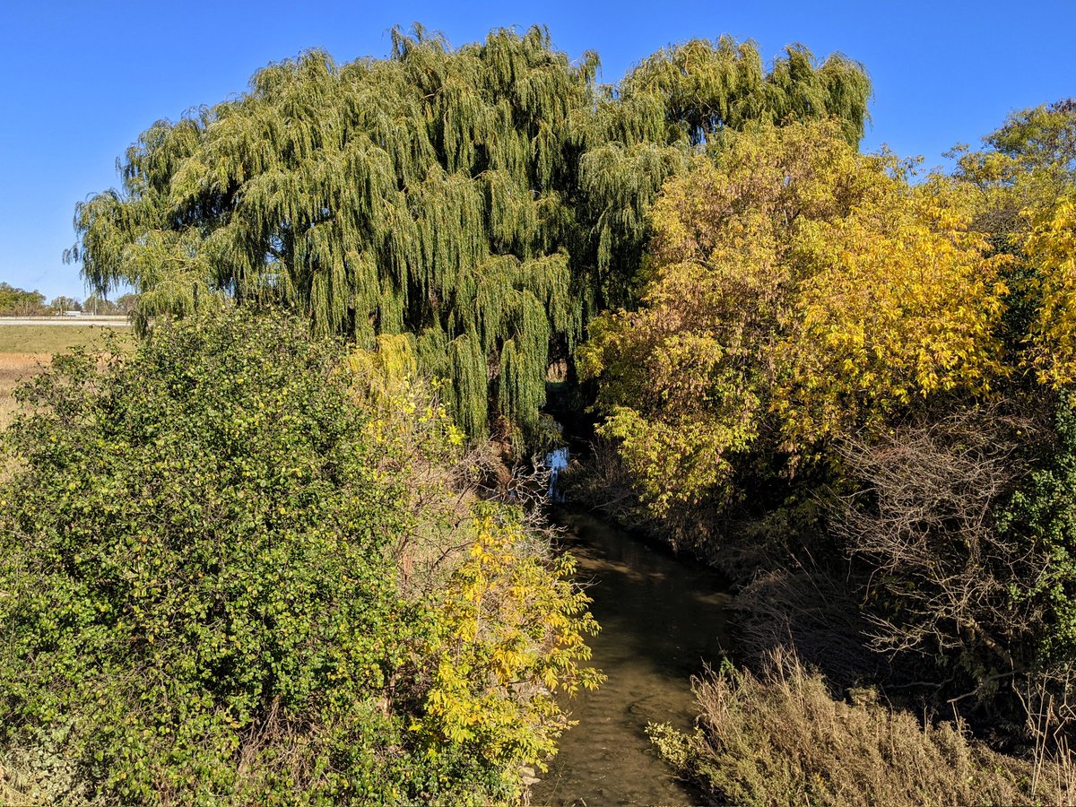
Through the meadow until Stone Church Road, where you get pushed east to a pedestrian bridge. Red Hill Creek meets a major hidden tributary tucked behind the LINC and a dump, right at the interchange with Red Hill Valley Parkway. You can’t miss the massive culverts.


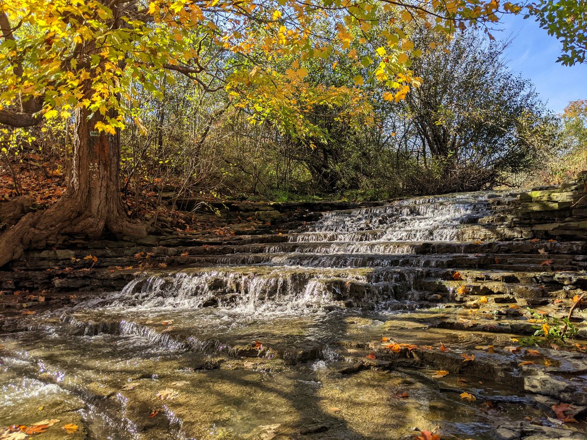
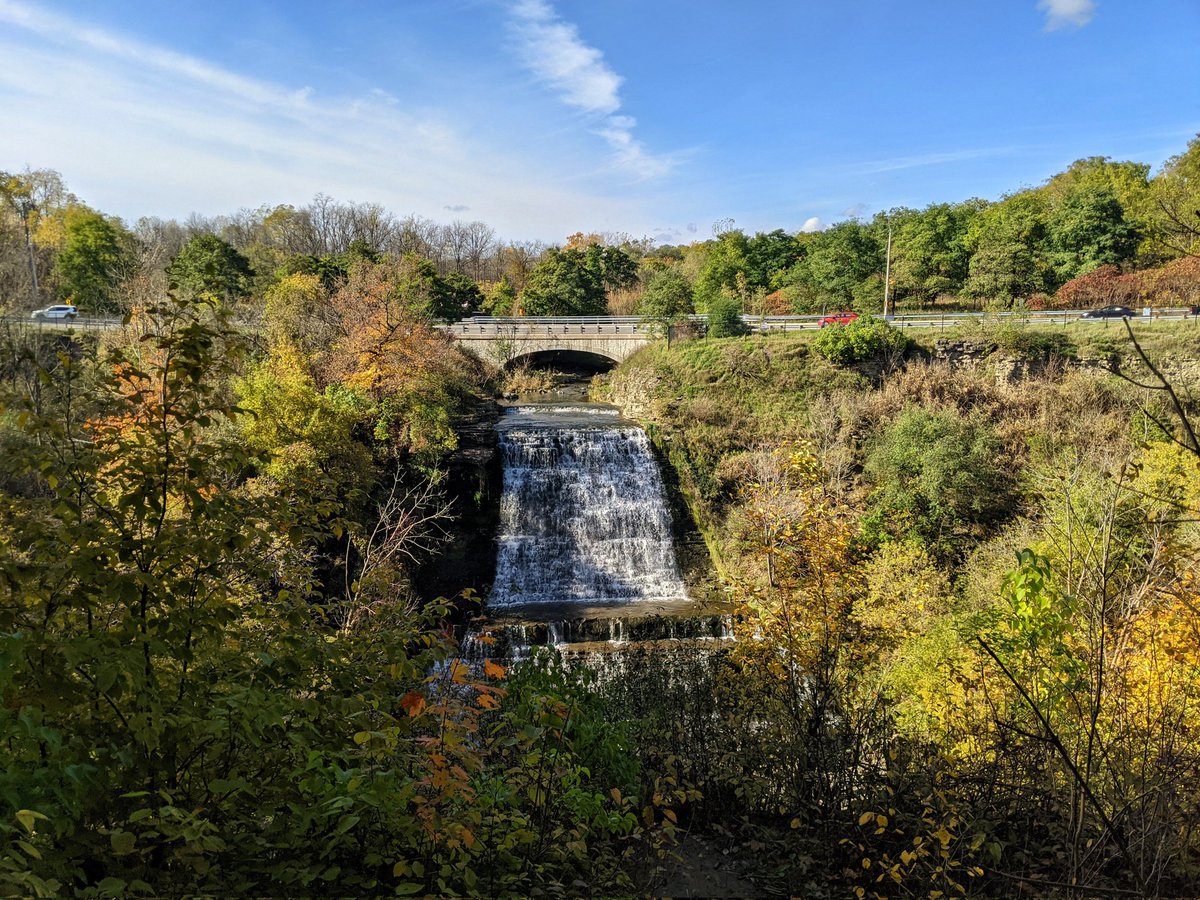
South of the parkway, Red Hill Creek makes a final meander before going over the escarpment. Mt Albion Falls is one of Hamilton’s jewels when it comes to water over the edge.
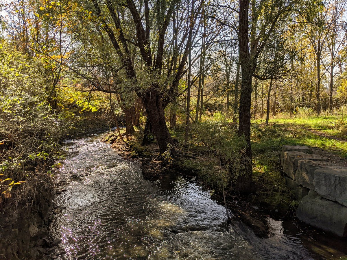


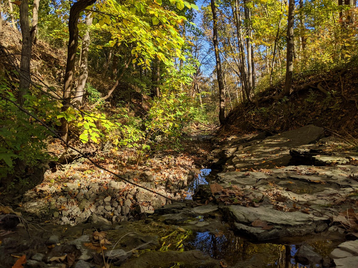
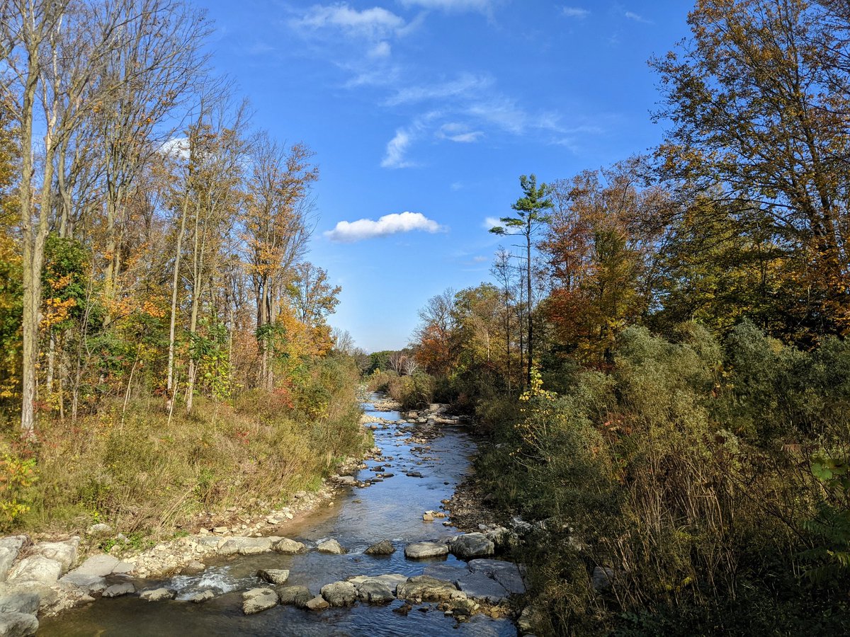
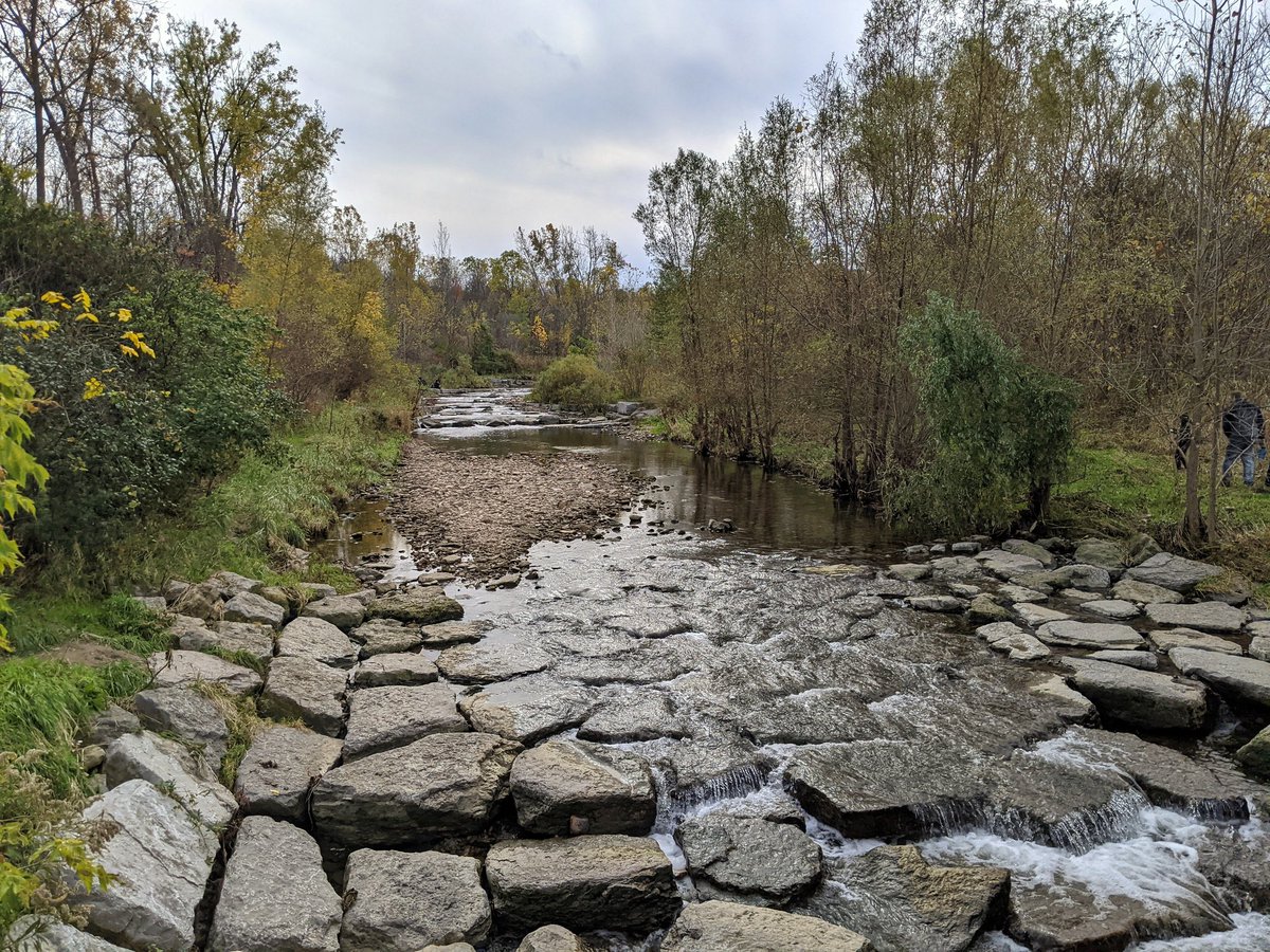
Down the mountain, slowly but surely. Lots of riffles along the escarpment rock. Excellent forest canopy and understory along the trail.


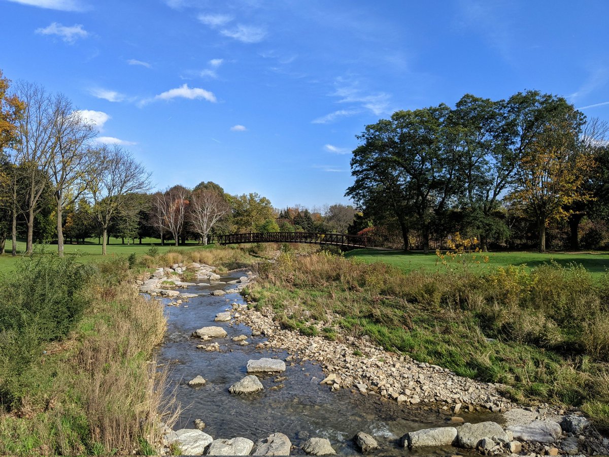
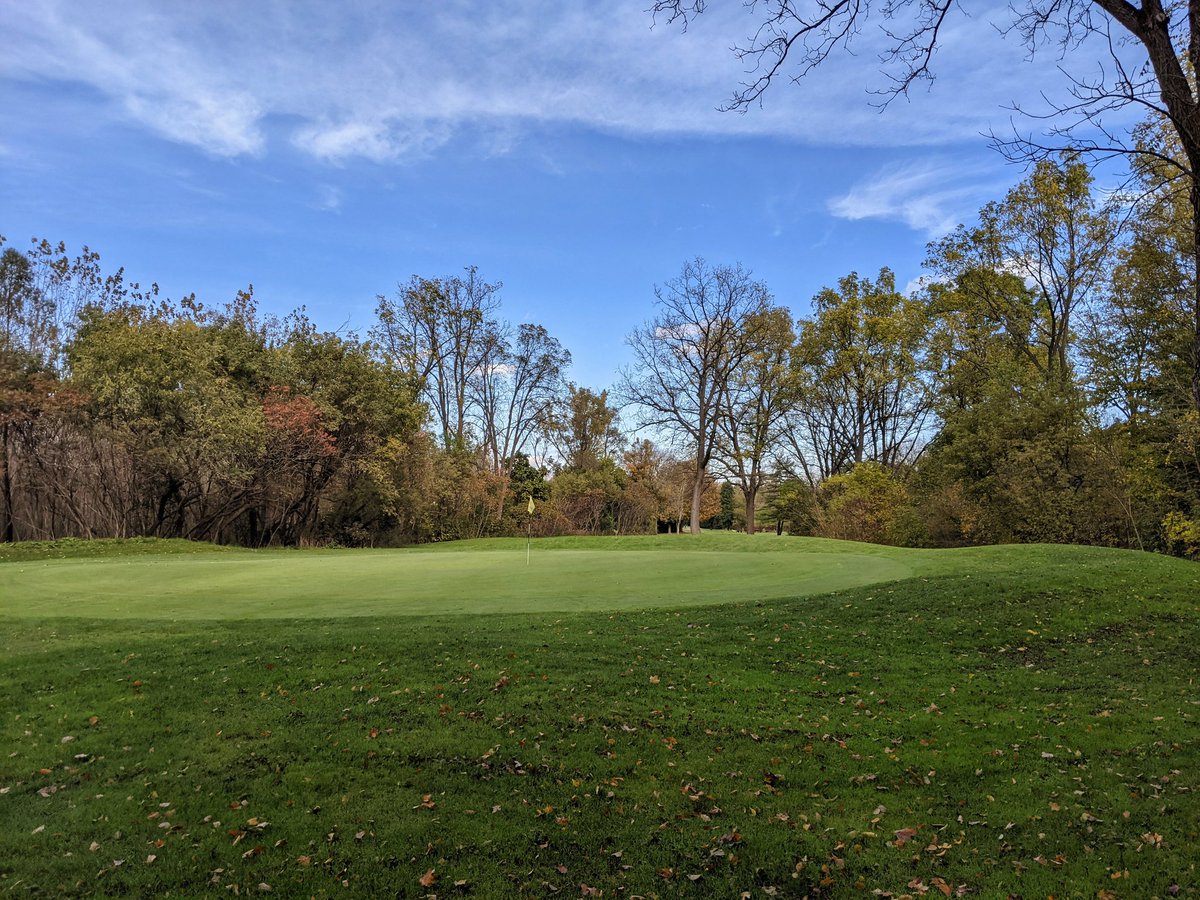
The footpath dumps you right onto a golf green. They permit access here, but following the creek means crossing fairways with balls still currently flying. Gotta backtrack to a safe path around a couple holes until I’m led back.
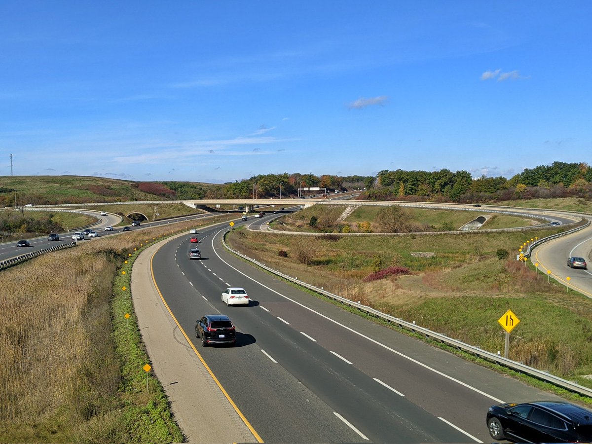
Things get a little squirrelly now as the creek starts bumping up against the parkway. Lots of up and down and around natural and artificial hills in the landscape.
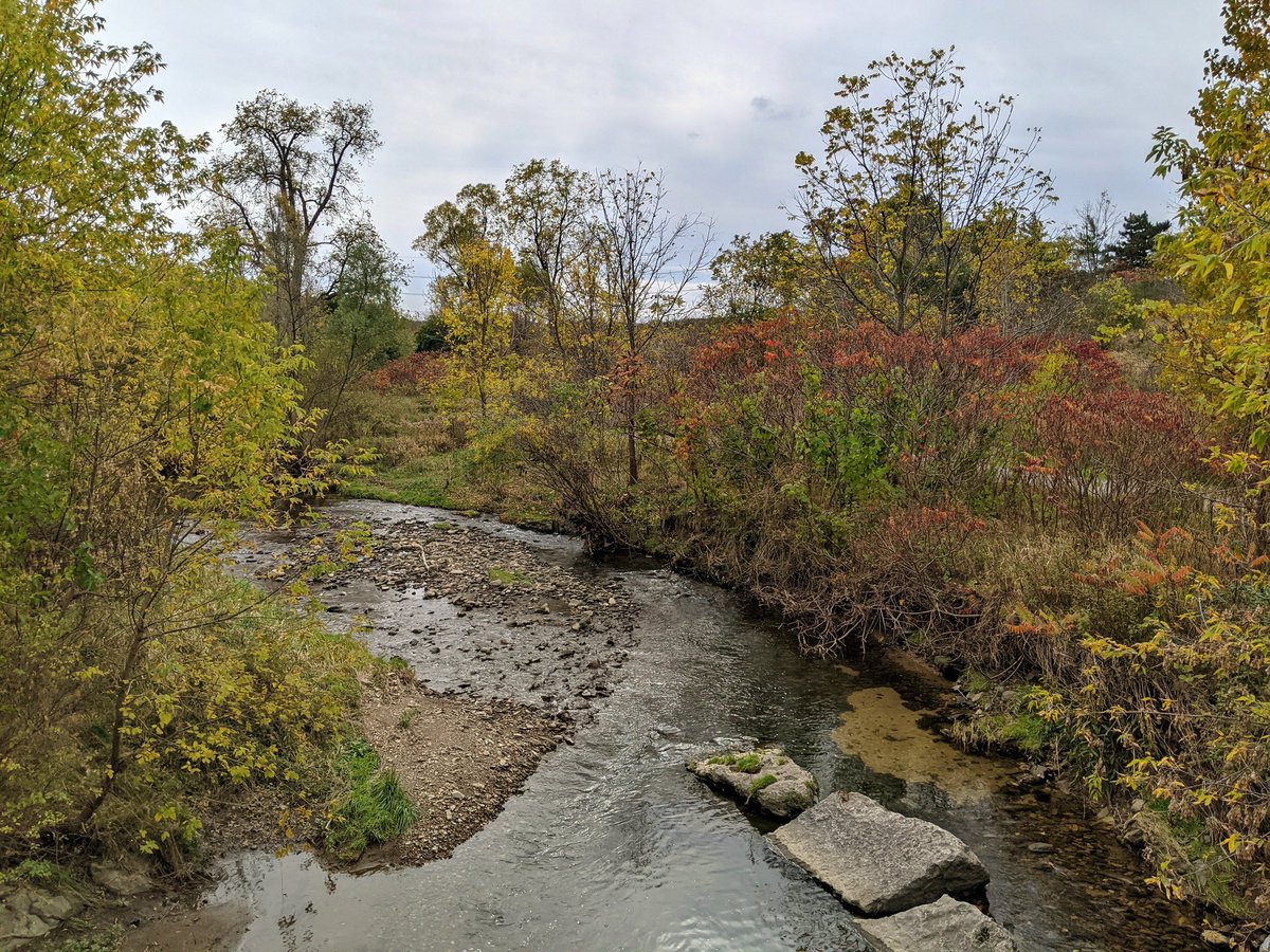


Things are tightening up in the valley, which apparently means pushing the trail up onto the tableland north of Queenston Road. But the origin of Red Hill Creek’s name is becoming apparent.


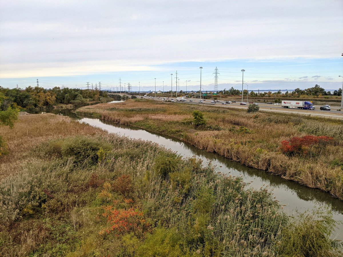
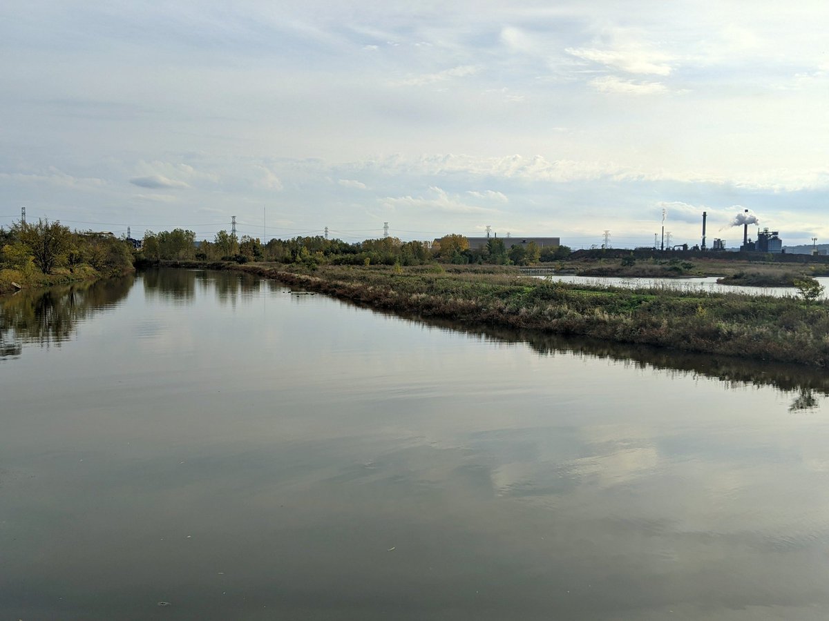
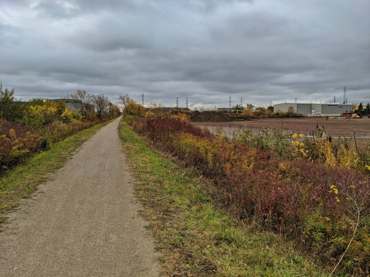
Down to the lower reach, where the creek gets slow and wide. More and more infrastructure intersections. We have now left the creek’s namesake parkway and traded it for the QEW.


From the pedestrian bridge over the QEW, it’s a long detour around Hamilton’s water and wastewater complex. Eventually you reach the creek again where Beach Boulevard ducks under the expressway.


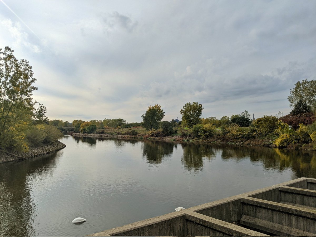

The big wide mouth of Red Hill Creek makes its way around Windermere Basin, before outflowing into the harbour. That marks the end of today’s walk.

Date: October 24, 2021
Length: 19.8 km
Type: Riverine
Related Walks
Rail trail intersecting the headwaters
Escarpment Rail
Hydro corridors flying over the bottom reach
Beach Hydro