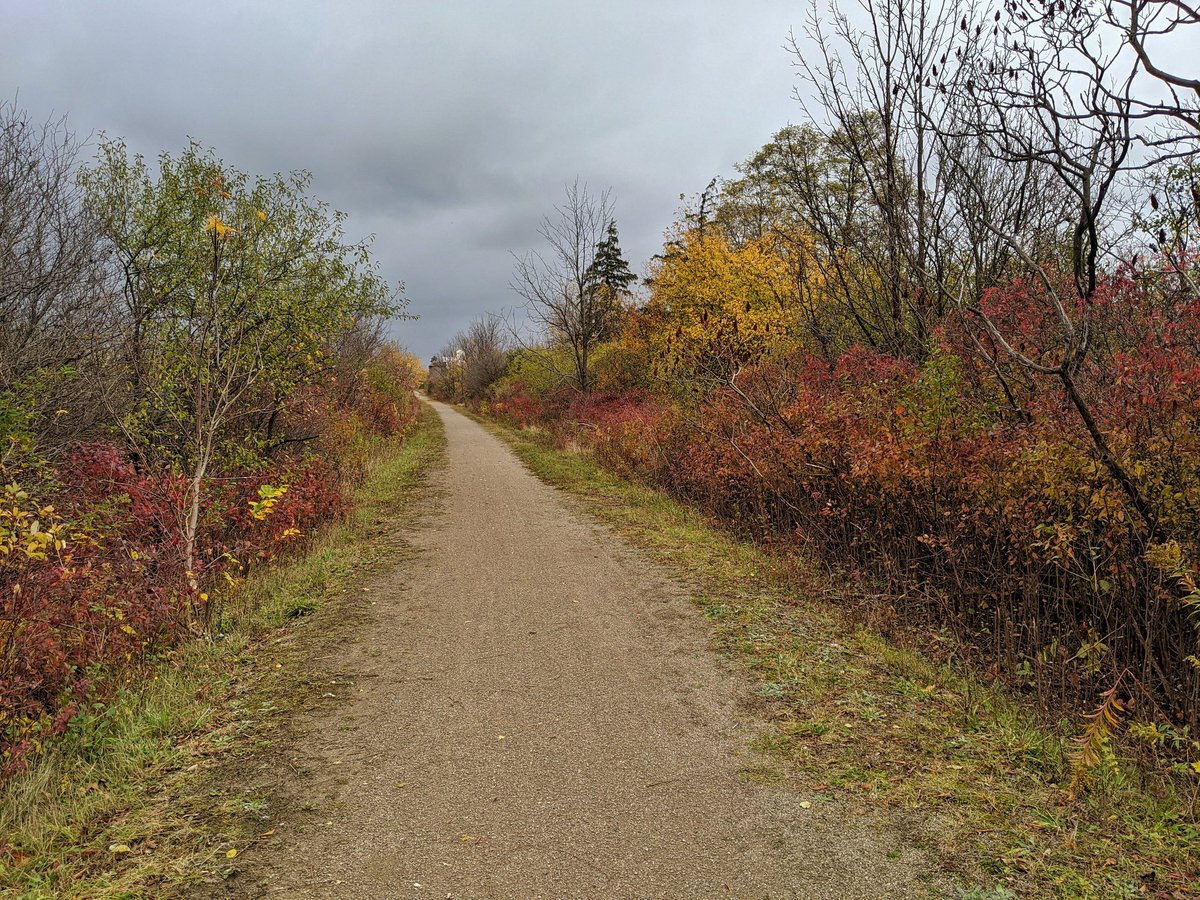
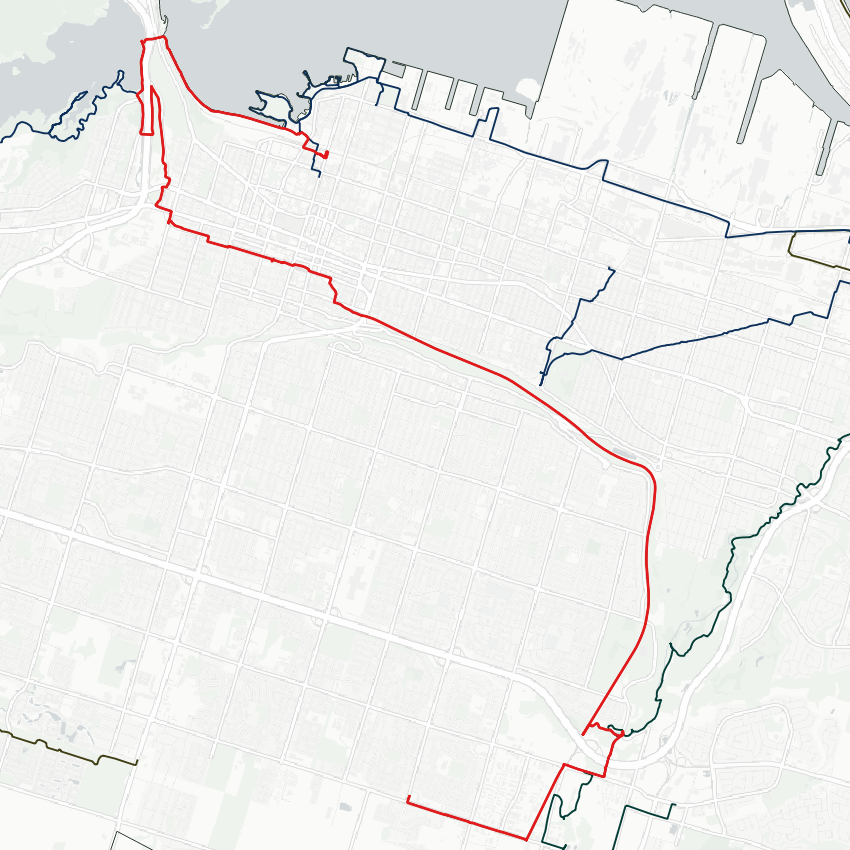
Good morning from upper east Hamilton. Today I will be following a rail trail, from Rymal Road down the escarpment to downtown, and then looping past a junction that crosses the Desjardins Canal back to West Harbour. Let’s go.
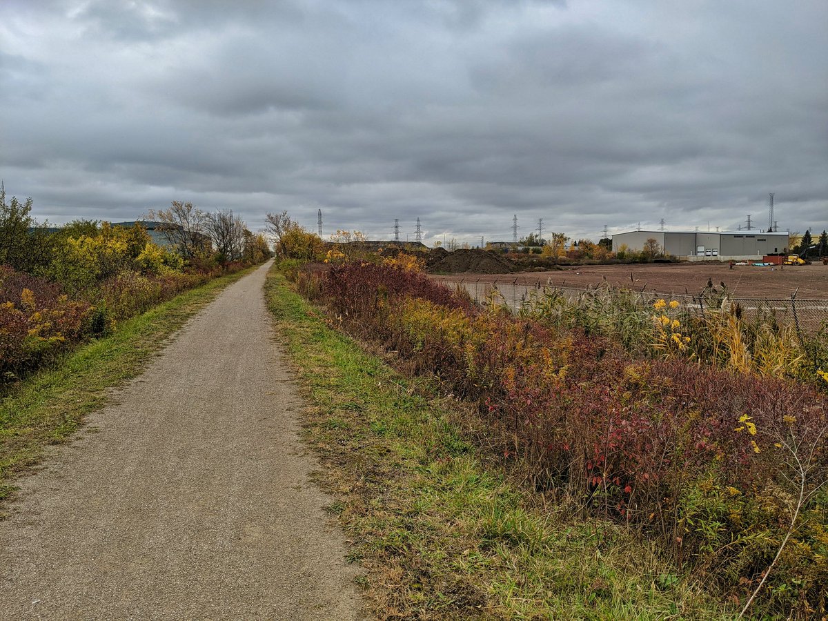
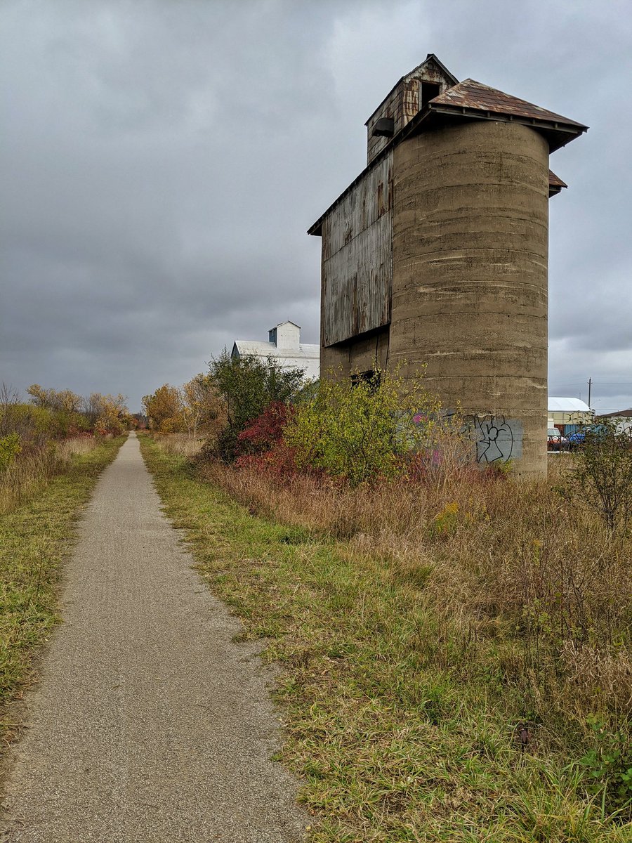
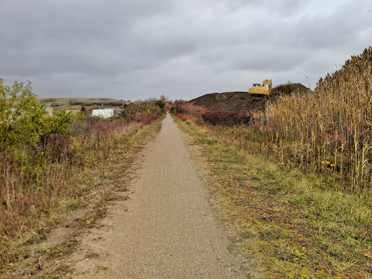
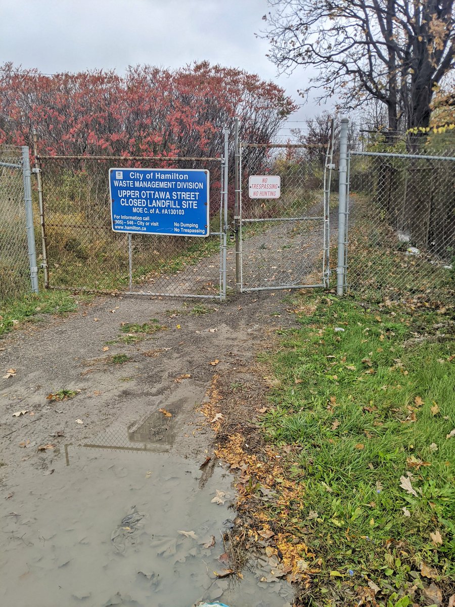
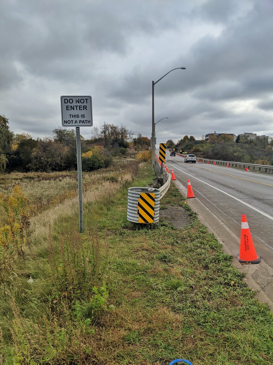
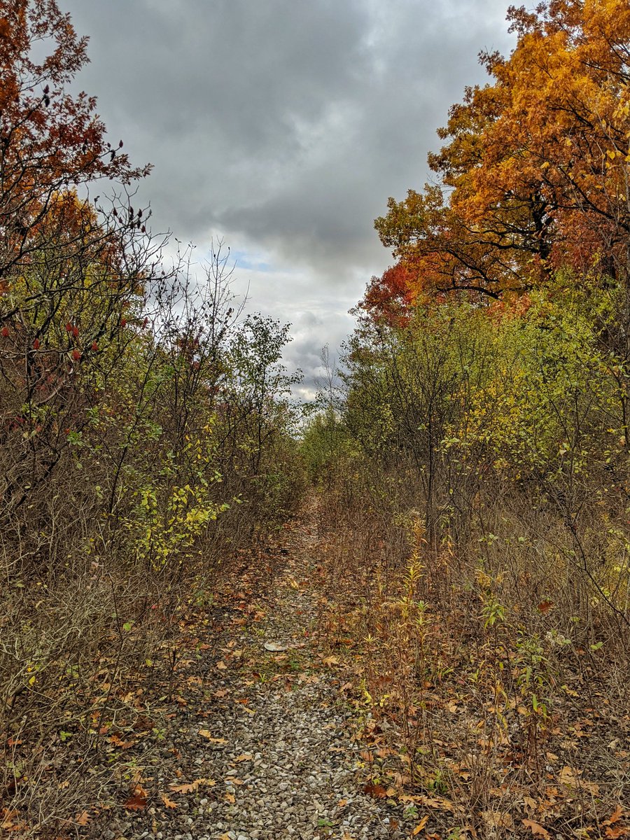
The upper portion of the trail is long and straight. Then you get to the LINC / Red Hill Valley Parkway and a landfill, forcing a detour to a bike and pedestrian bridge to the east. There seems to be a multi-use trail under construction, but until then the City isn’t helpful.
Eventually you get to the bridge and over the parkway. The trail leads you down into Red Hill Creek Valley.
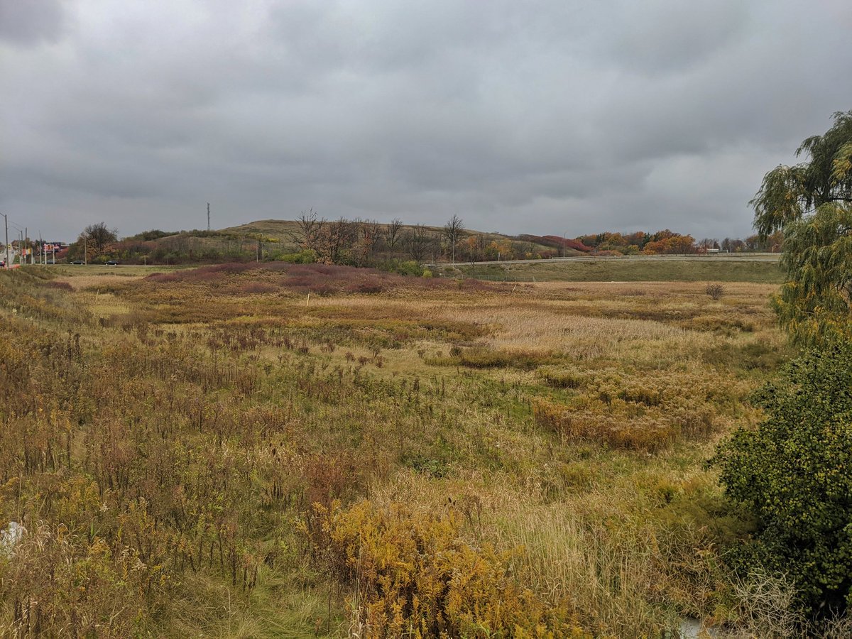
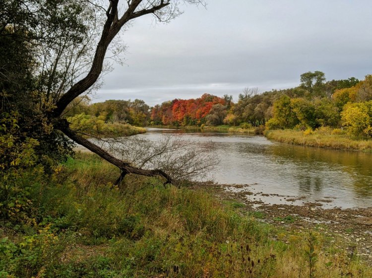
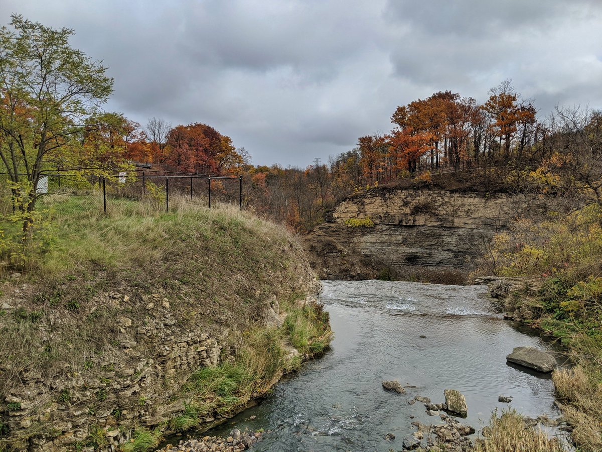
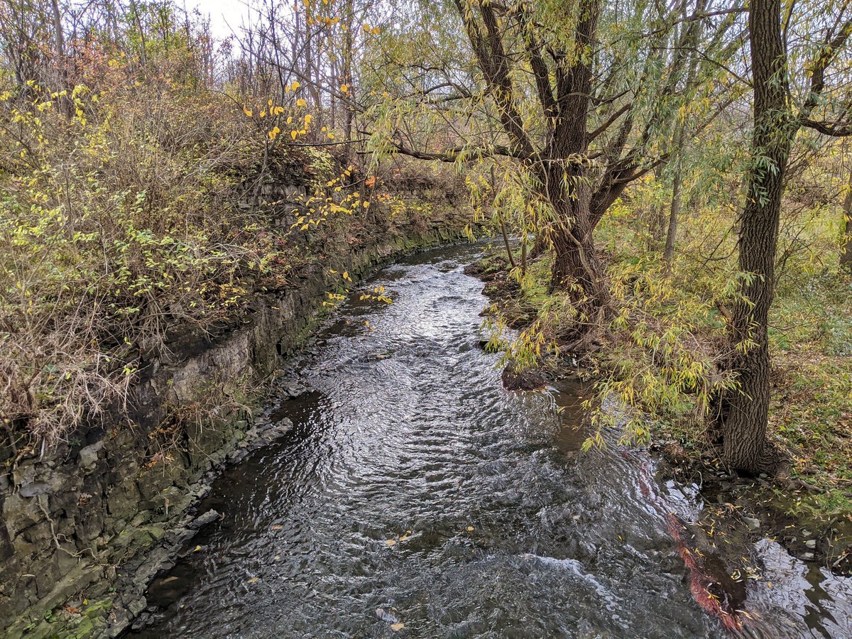
The detour features a glimpse of Albion Falls and Red Hill Creek, before winding back up to the rail trail, which heads north again. Some of the old rail bed lives on to the south.
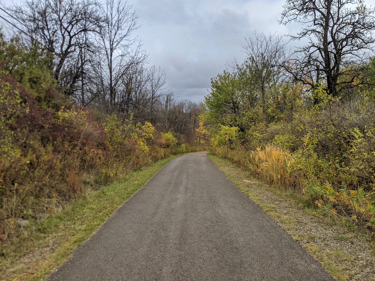
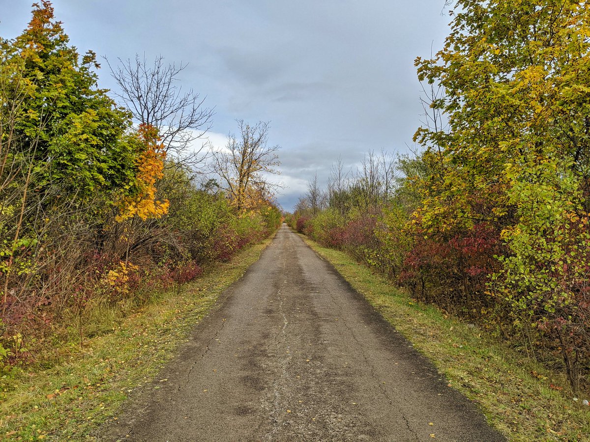
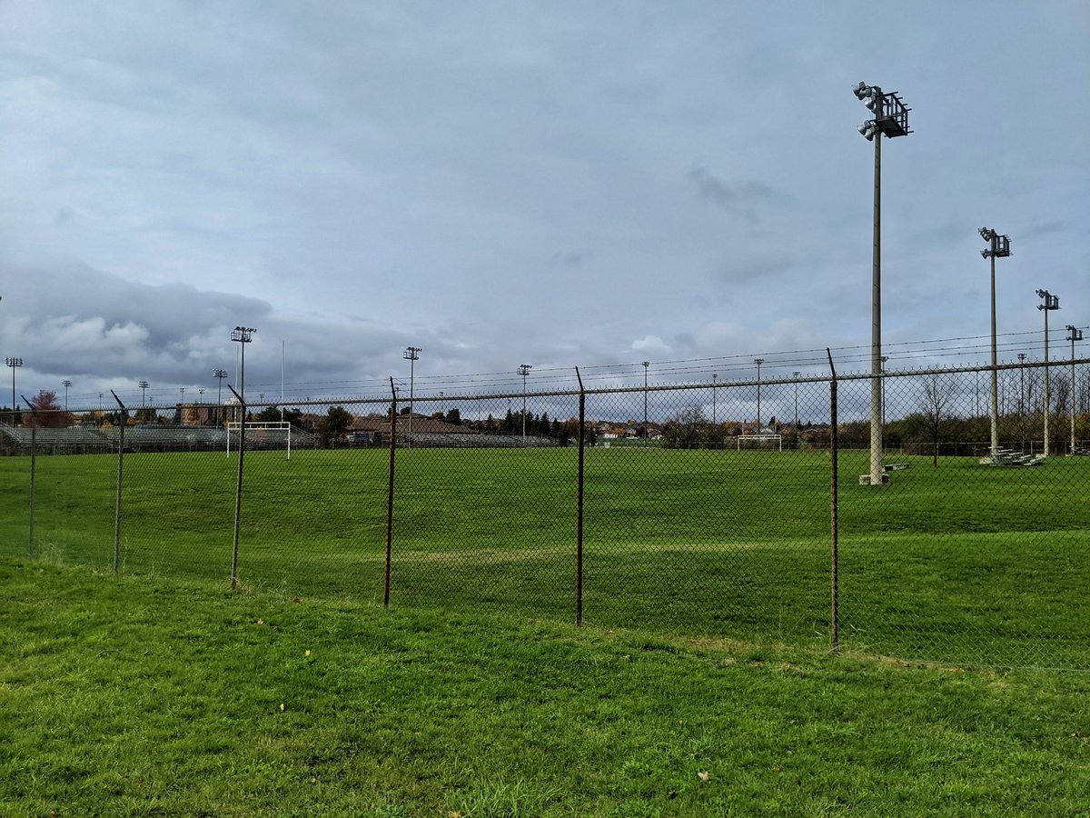
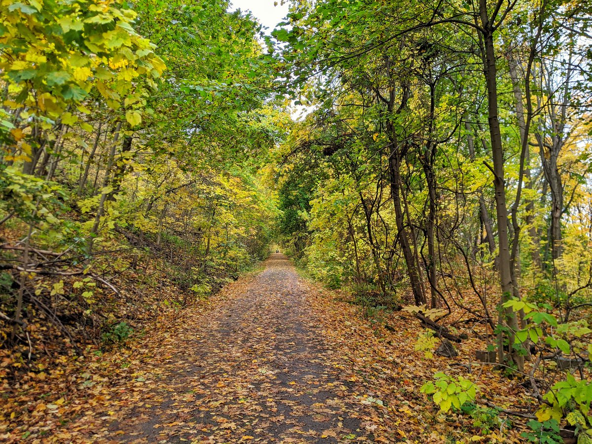
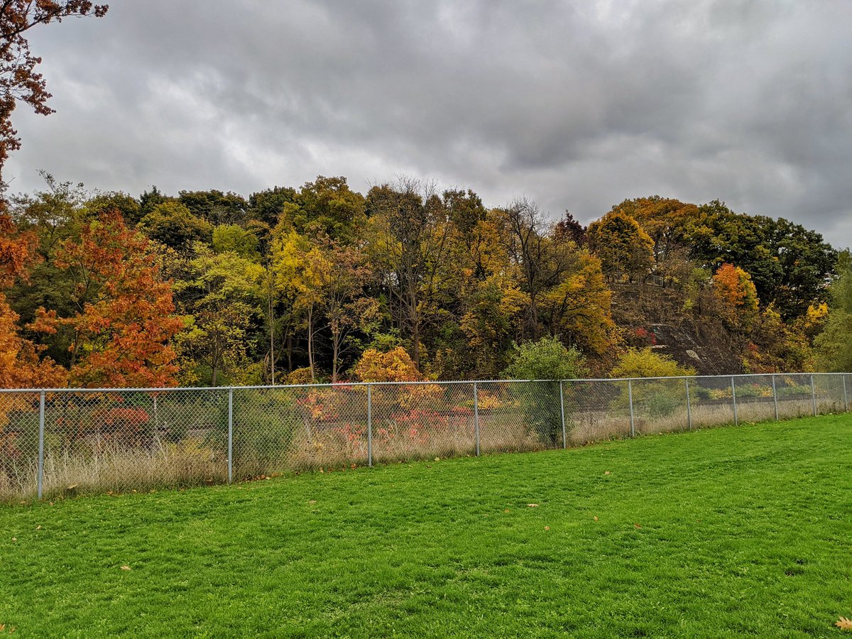
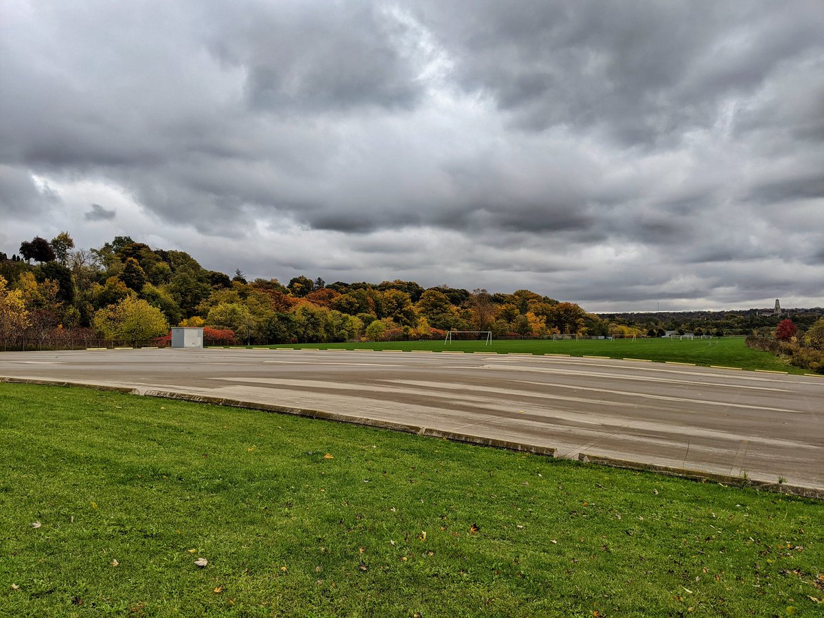
Continuing on the straight and narrow, and through a sports park. Then the first sign of a bend and downward grade appears north of Limeridge Road.
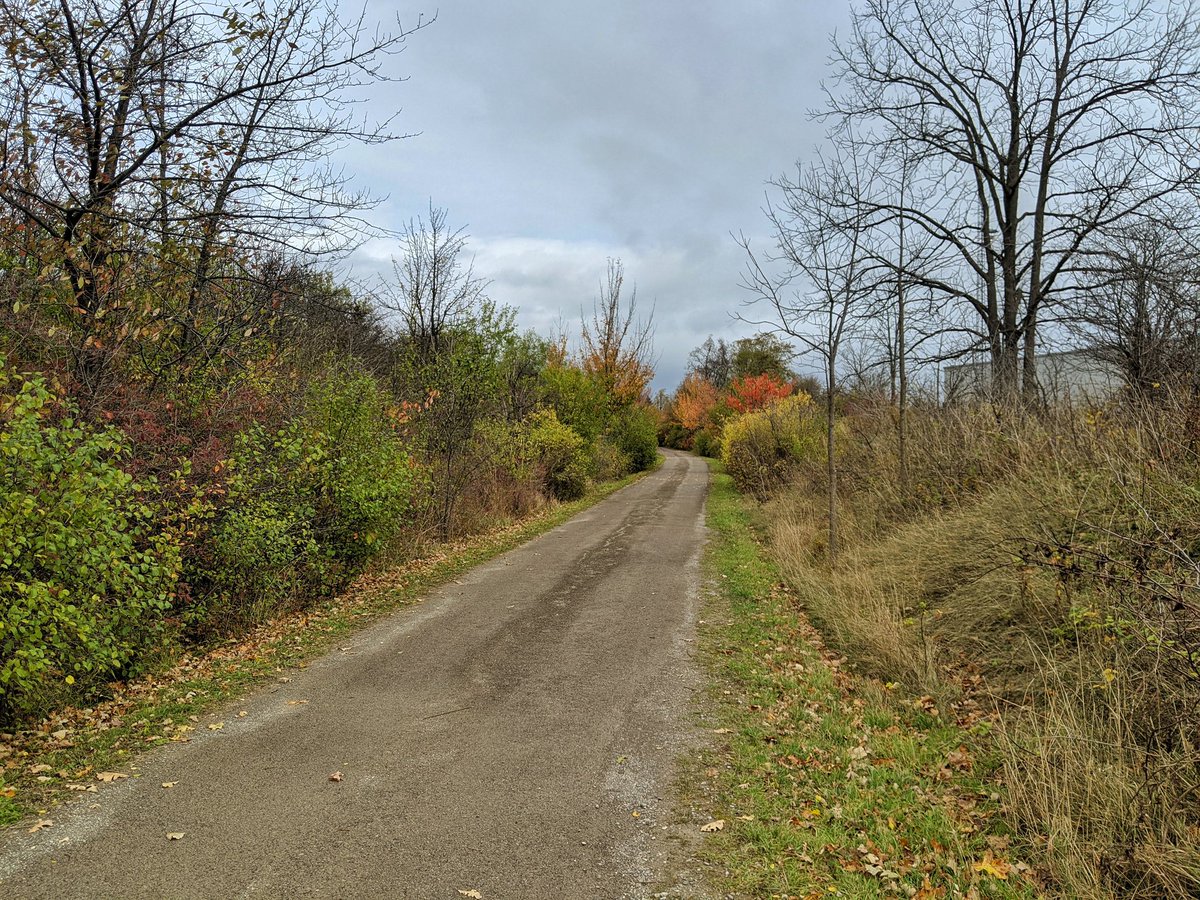
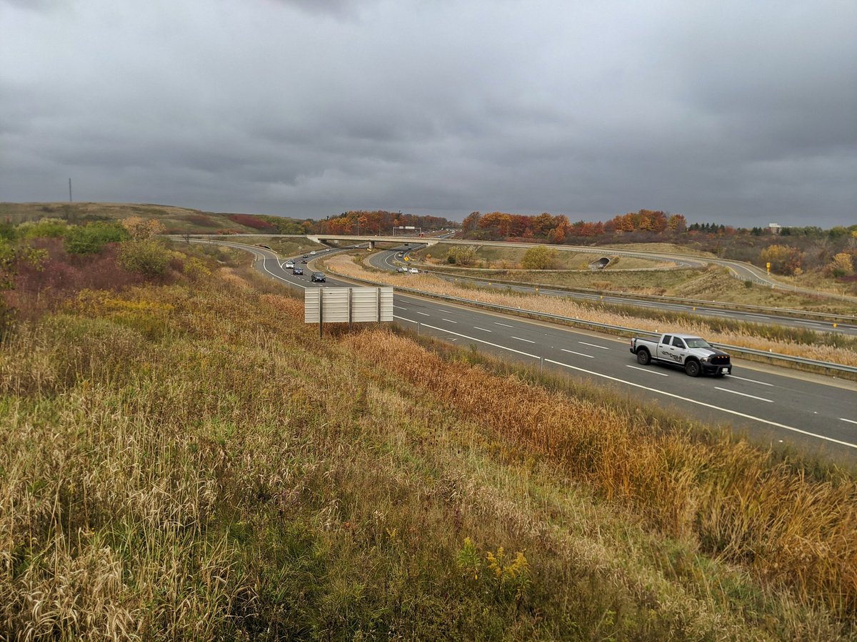
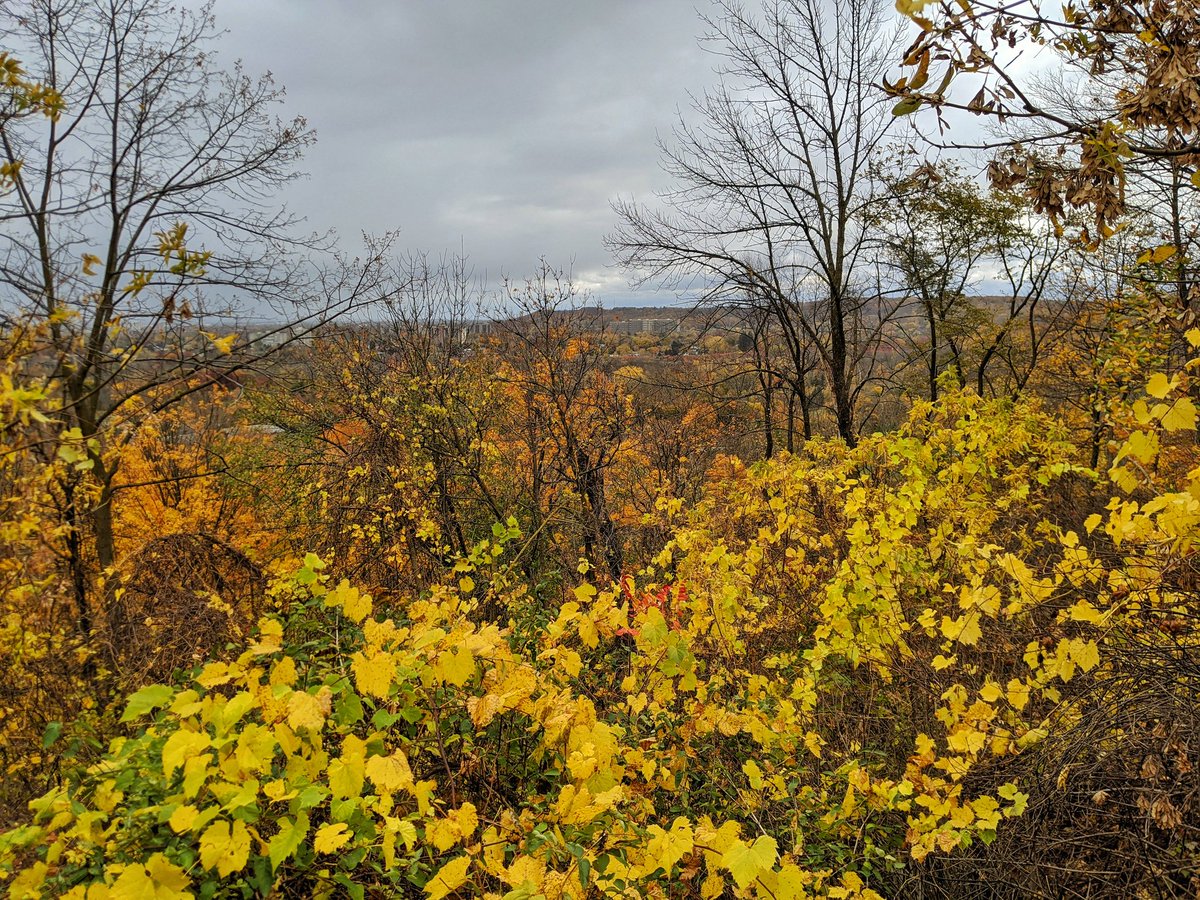
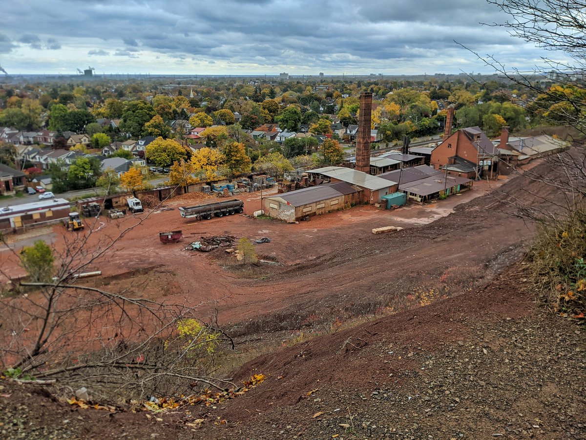
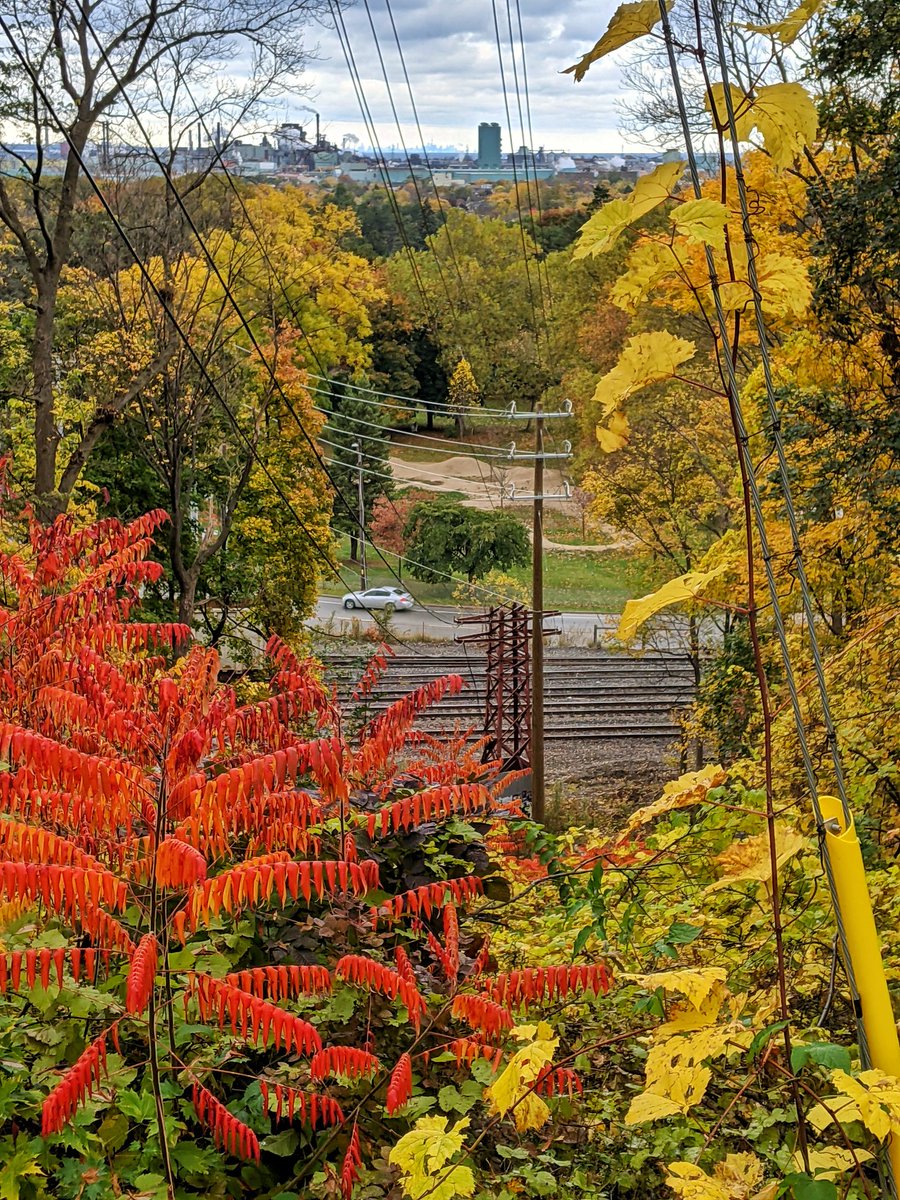
Escarpment rock starts appearing on both sides, at ankle level, then the hip, then over the head. Going down to the point of infrastructure grade separation. First lookout over the city, to the east over Red Hill Creek Valley.
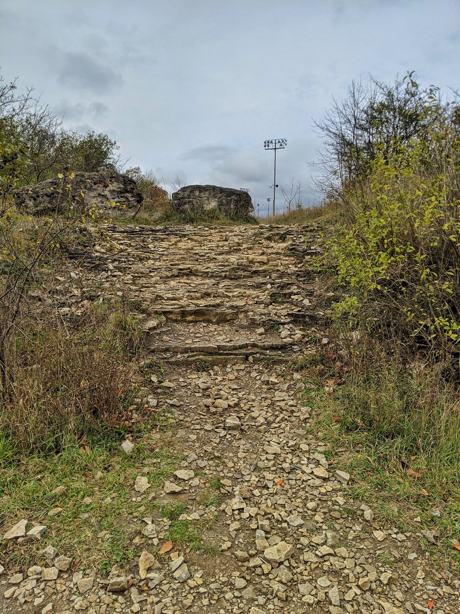
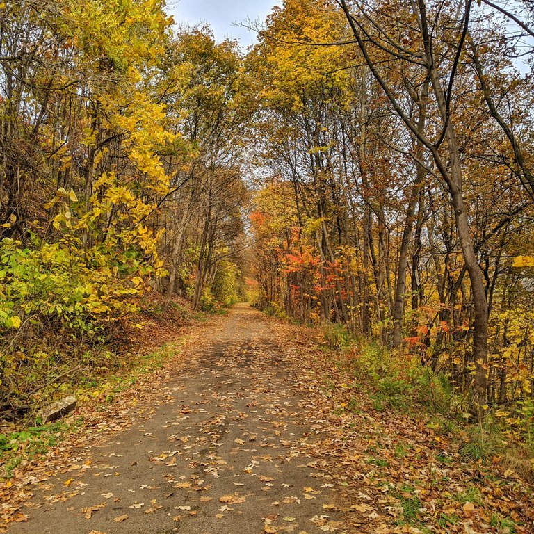
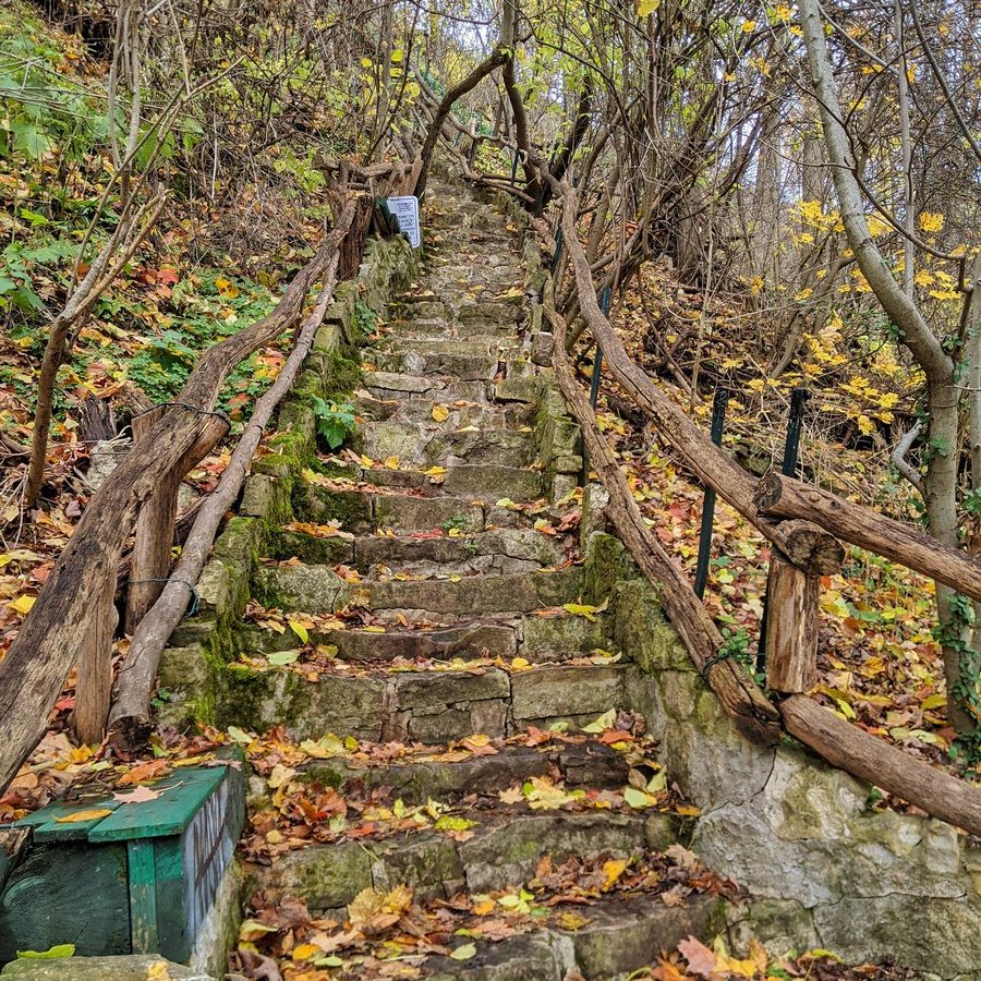
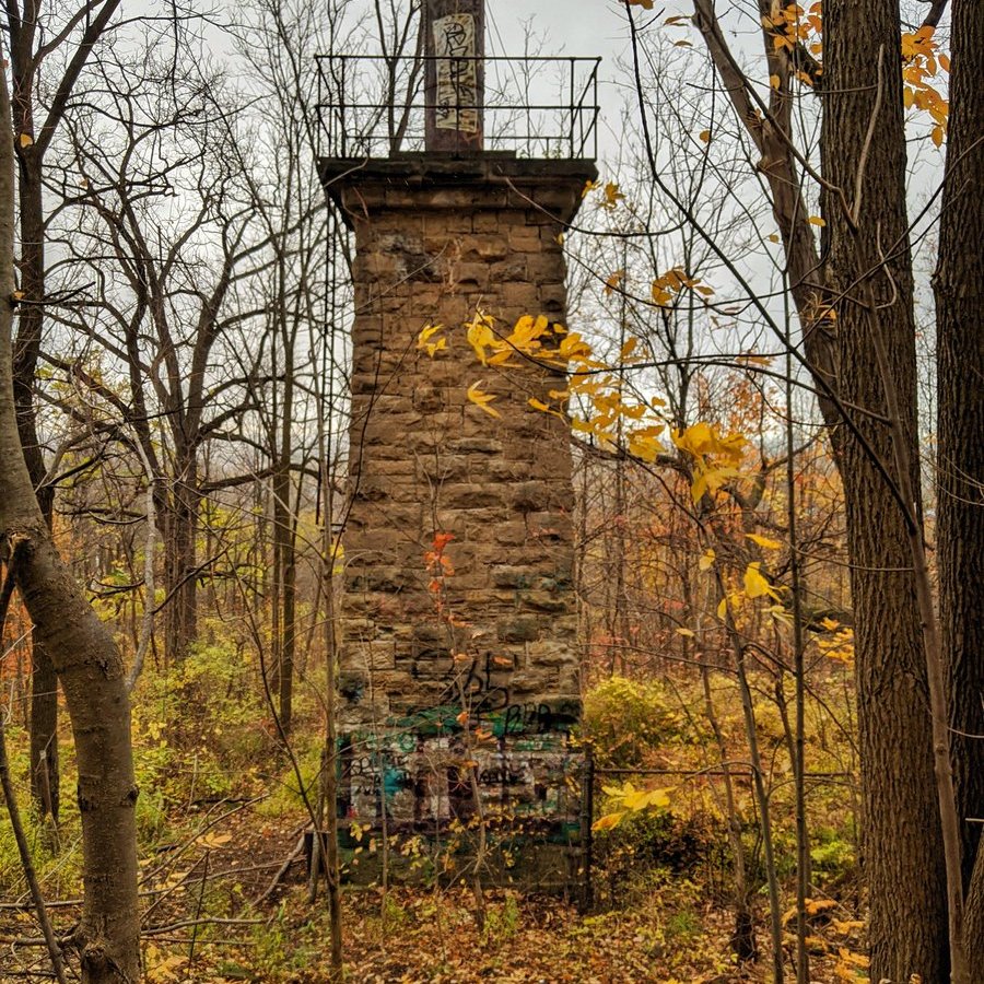
To some degree, it’s just the trail, escarpment rocks and trees. But there are a few access points up and down the mountain. Some are rigid steel structures sanctioned by the city. Some are old rocky constructions to use at your own risk.


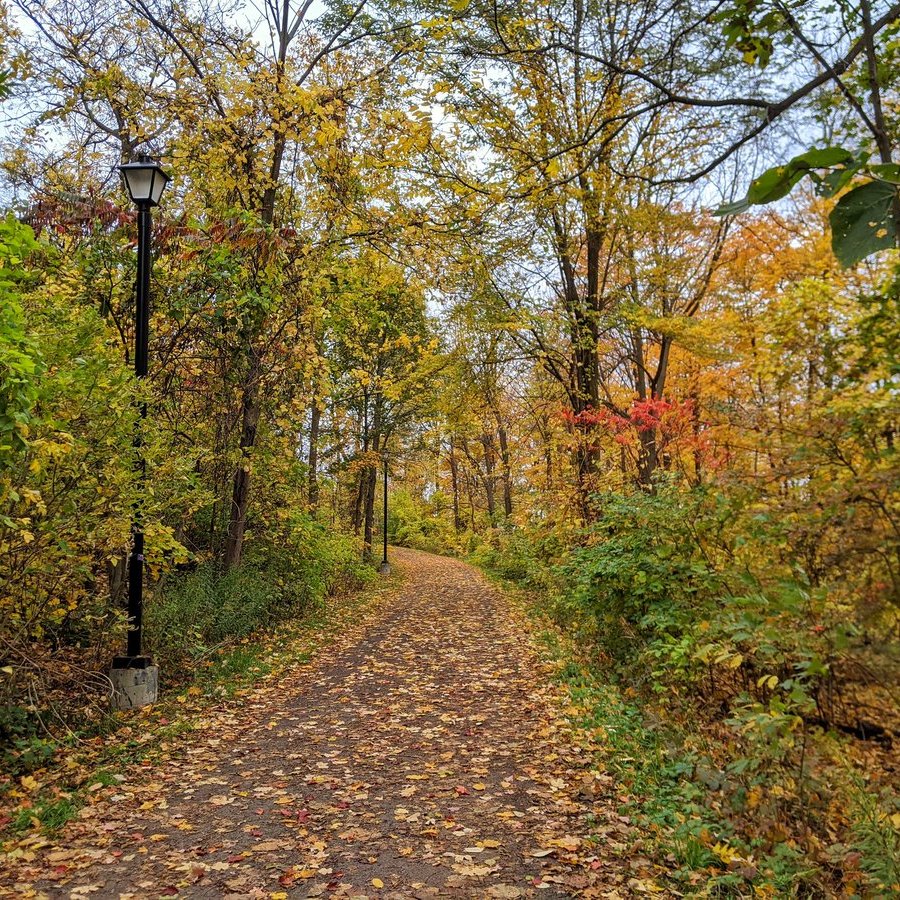
It’s interesting to see the intersection of users here. Dog walkers, leisure strollers, hill hikers, downhill riders, uphill cyclers, stair joggers, photographers. The trail bend from north to west is particularly active, and that’s demarcated by lights.


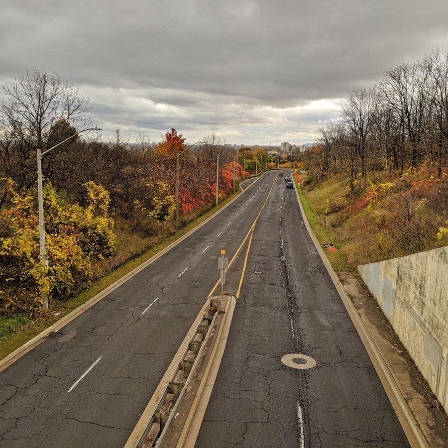
Not the greatest day to overlook the city below the mountain, but you can get better views on the escarpment brow anyway. Besides, there’s plenty to see along the trail anyway.


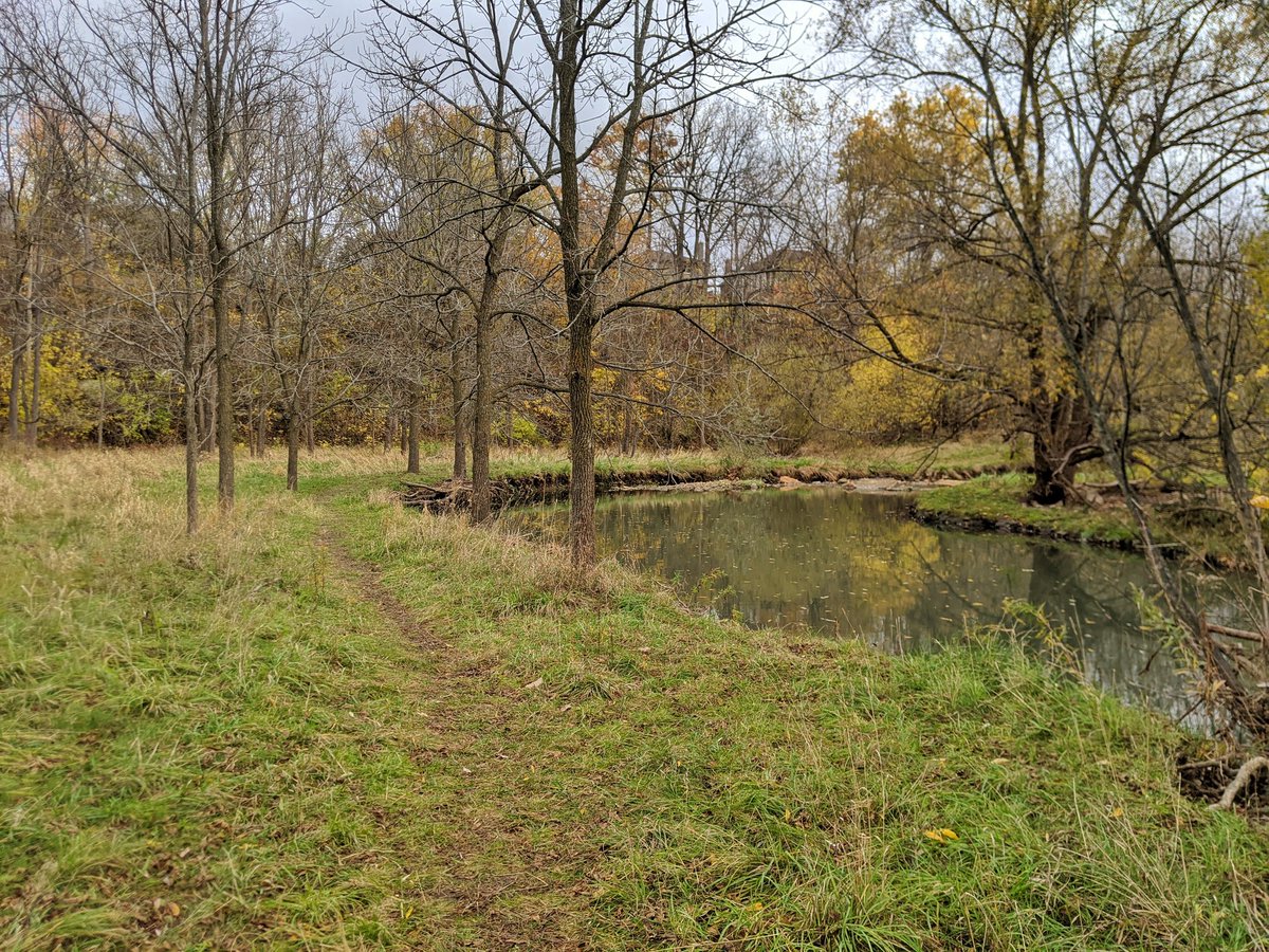
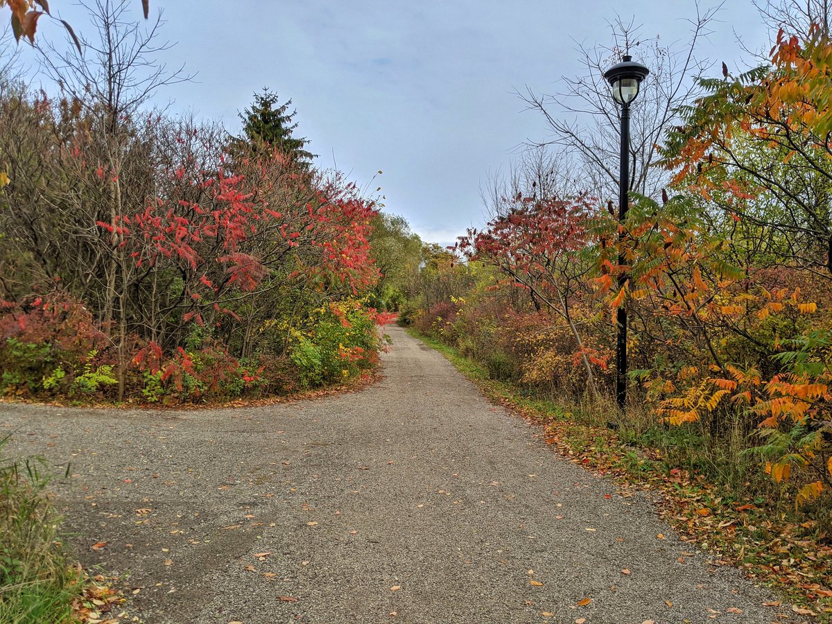
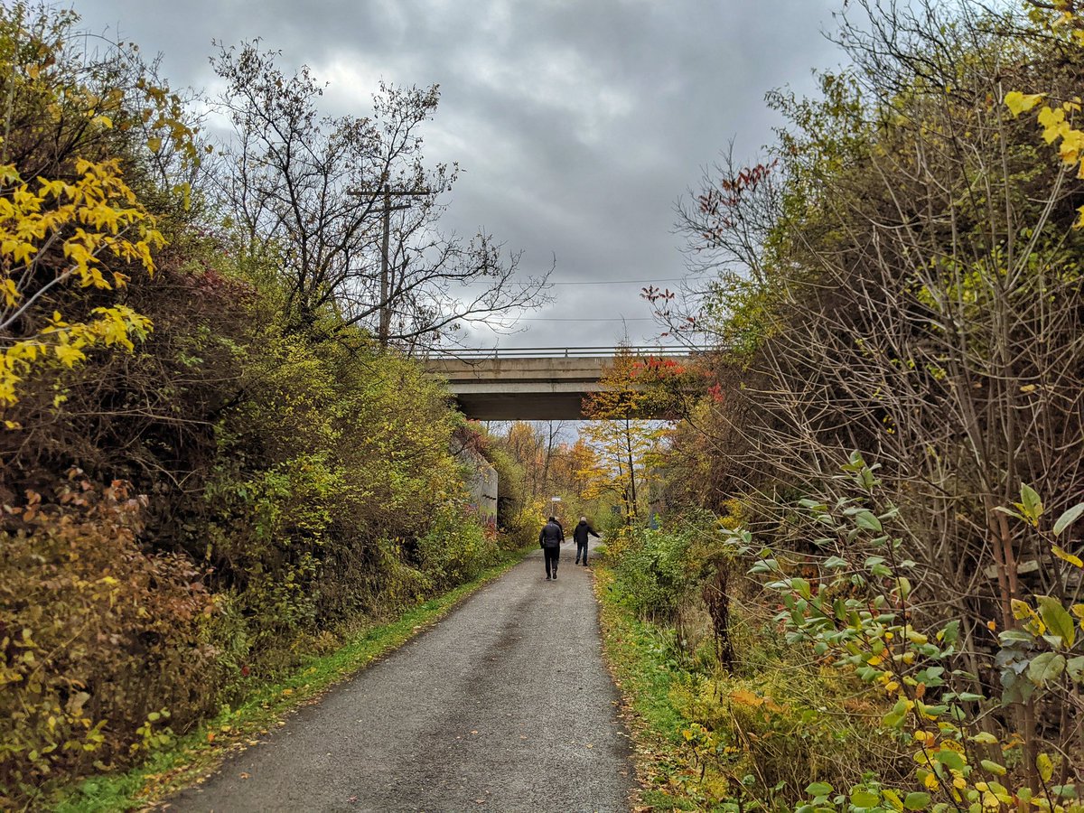
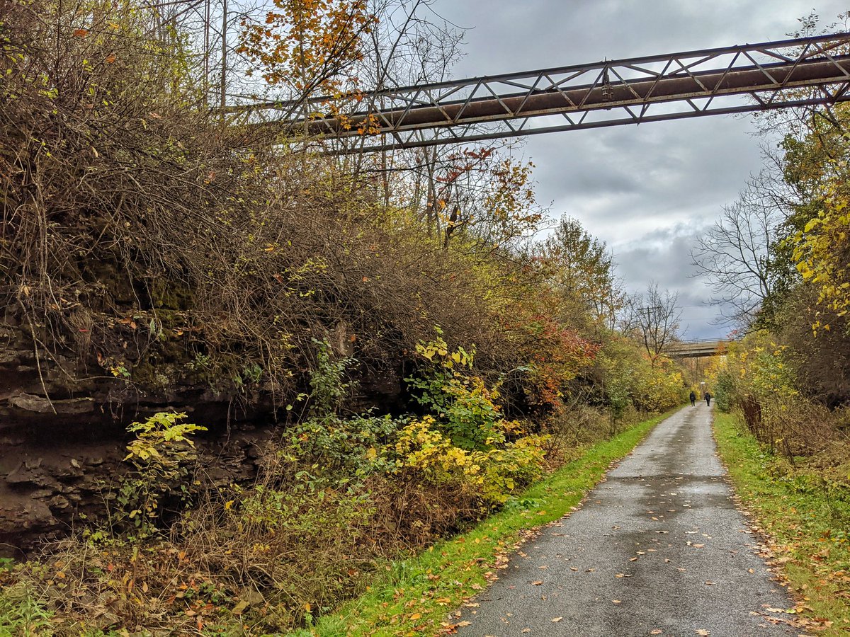
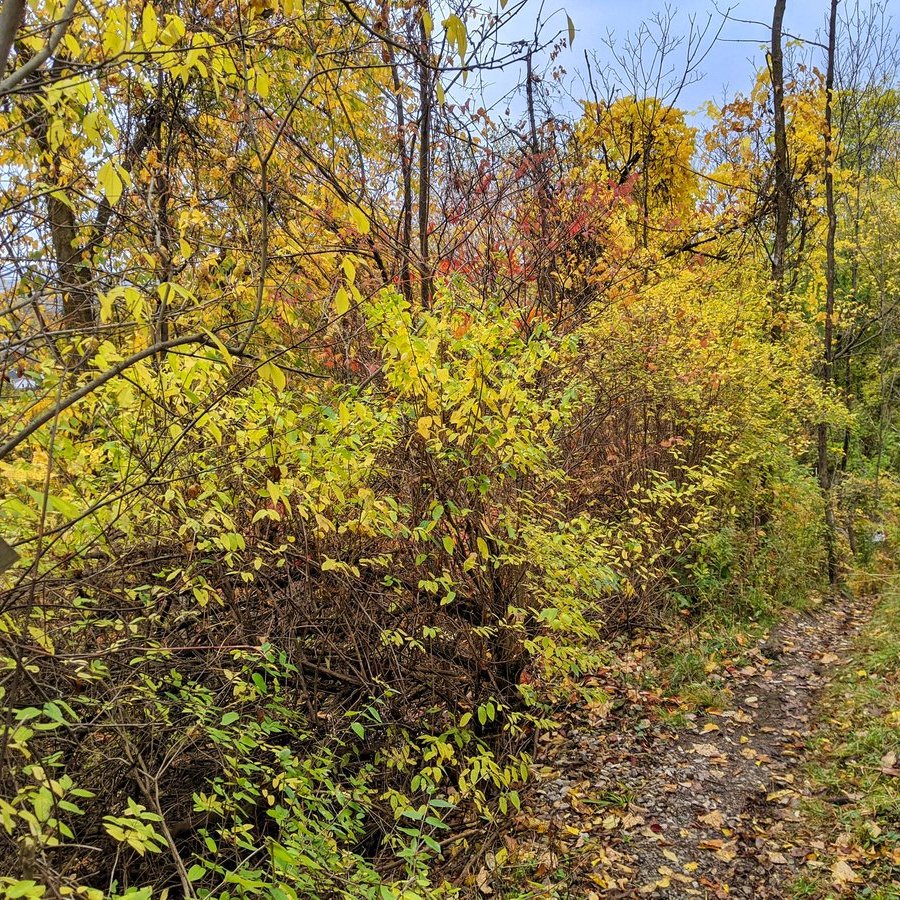
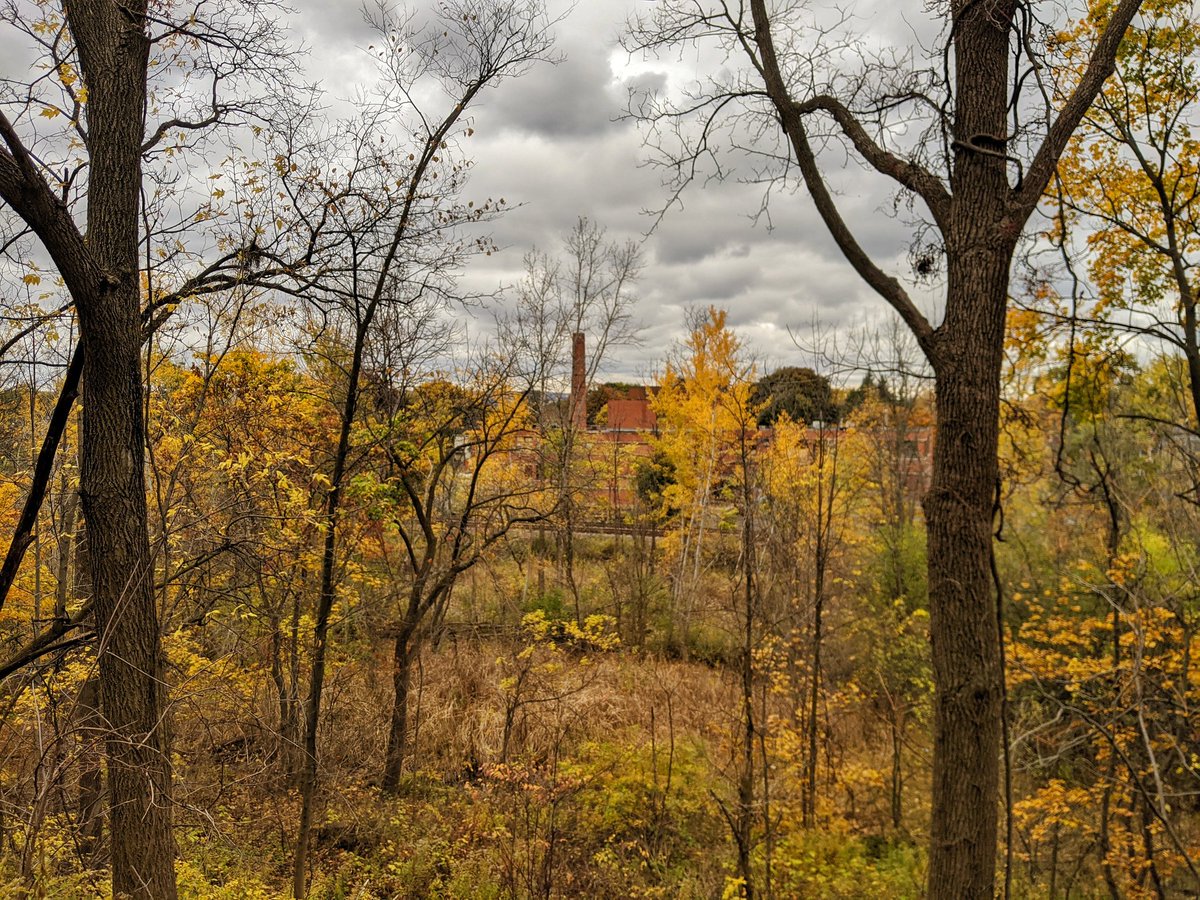
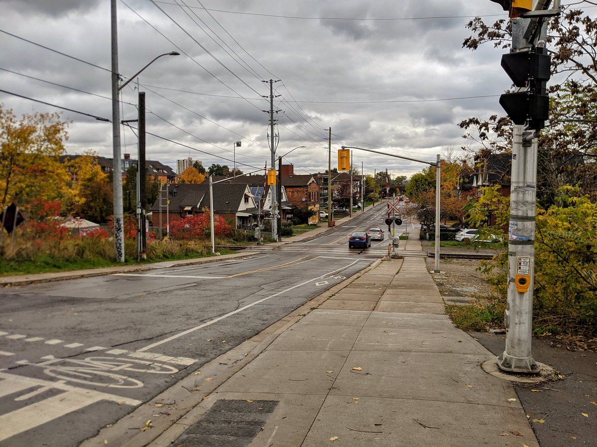
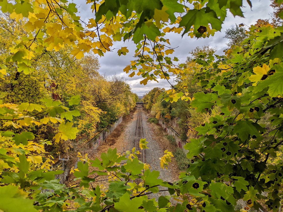
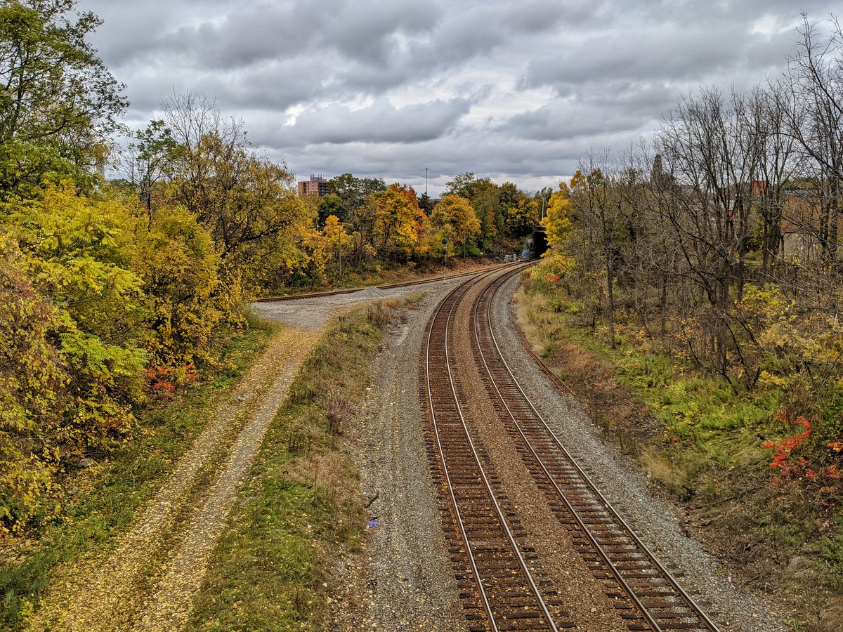
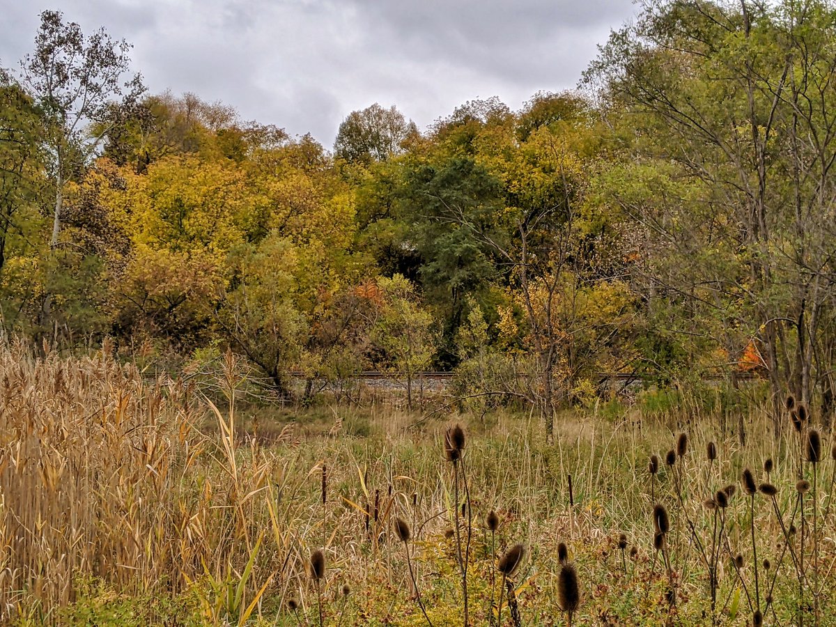
The railway at the bottom is getting closer, which tells me I’m starting to approach the end of the Escarpment Trail. This stretch is a little more subdued, certainly more greens and yellows.

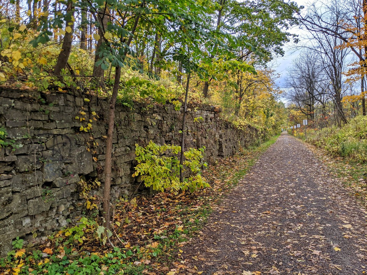
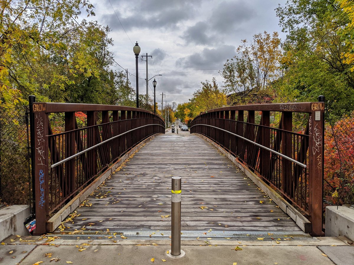
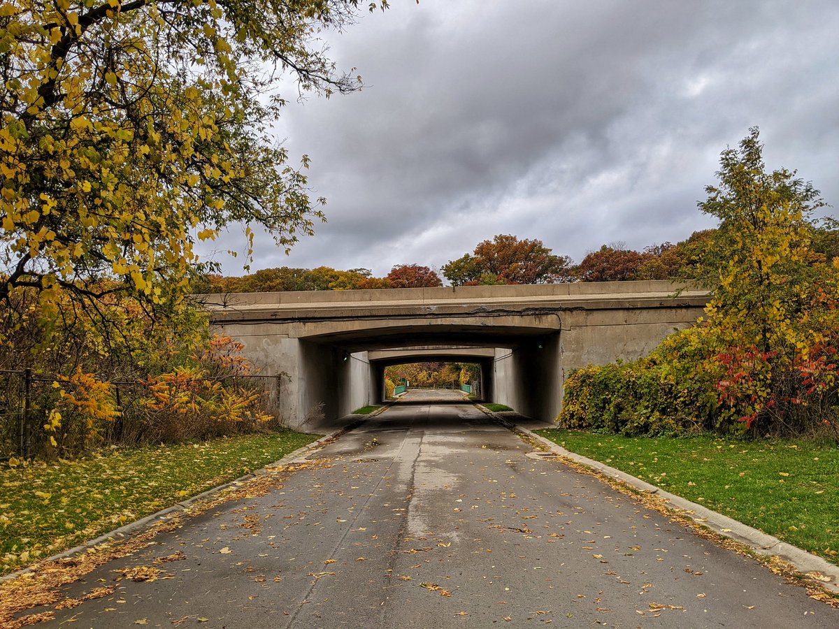
Down to the bottom of the mountain, and into the city. Still some need for retaining walls, and some of the roads still vary in height.
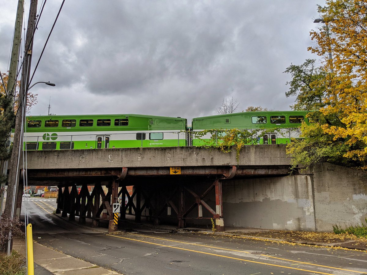
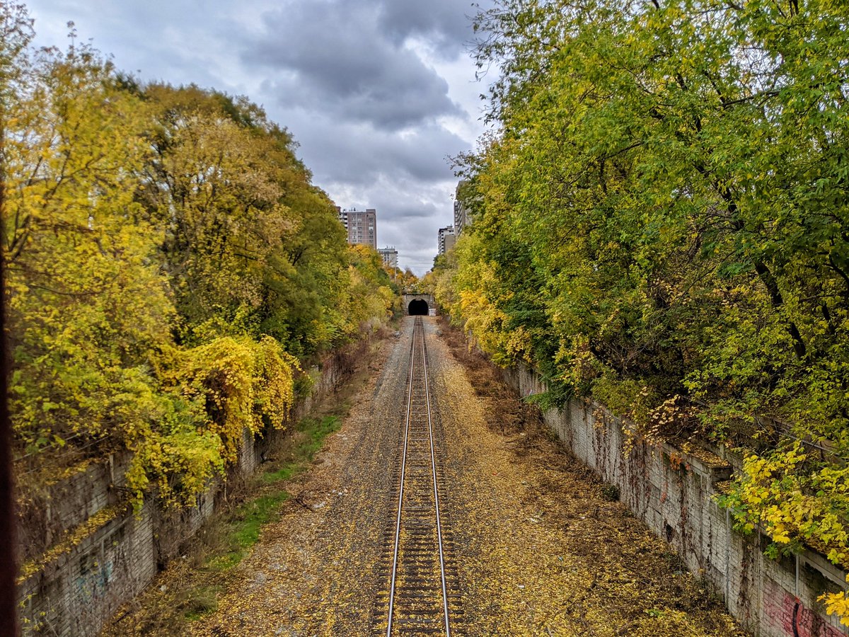
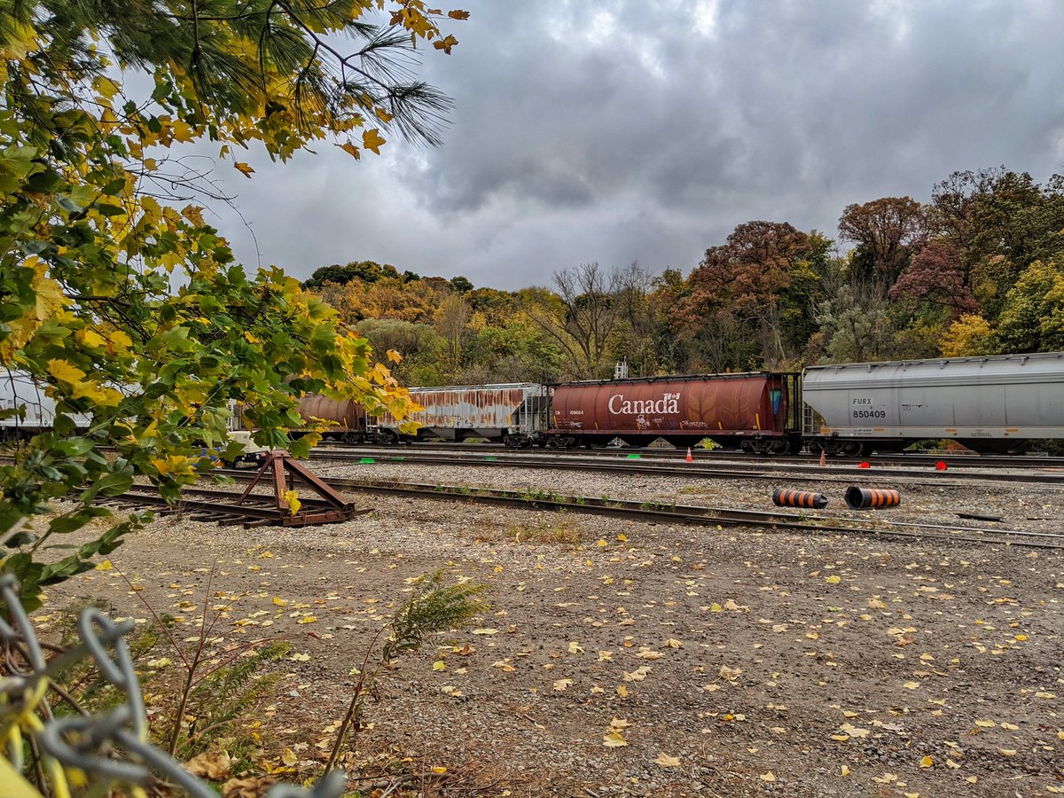
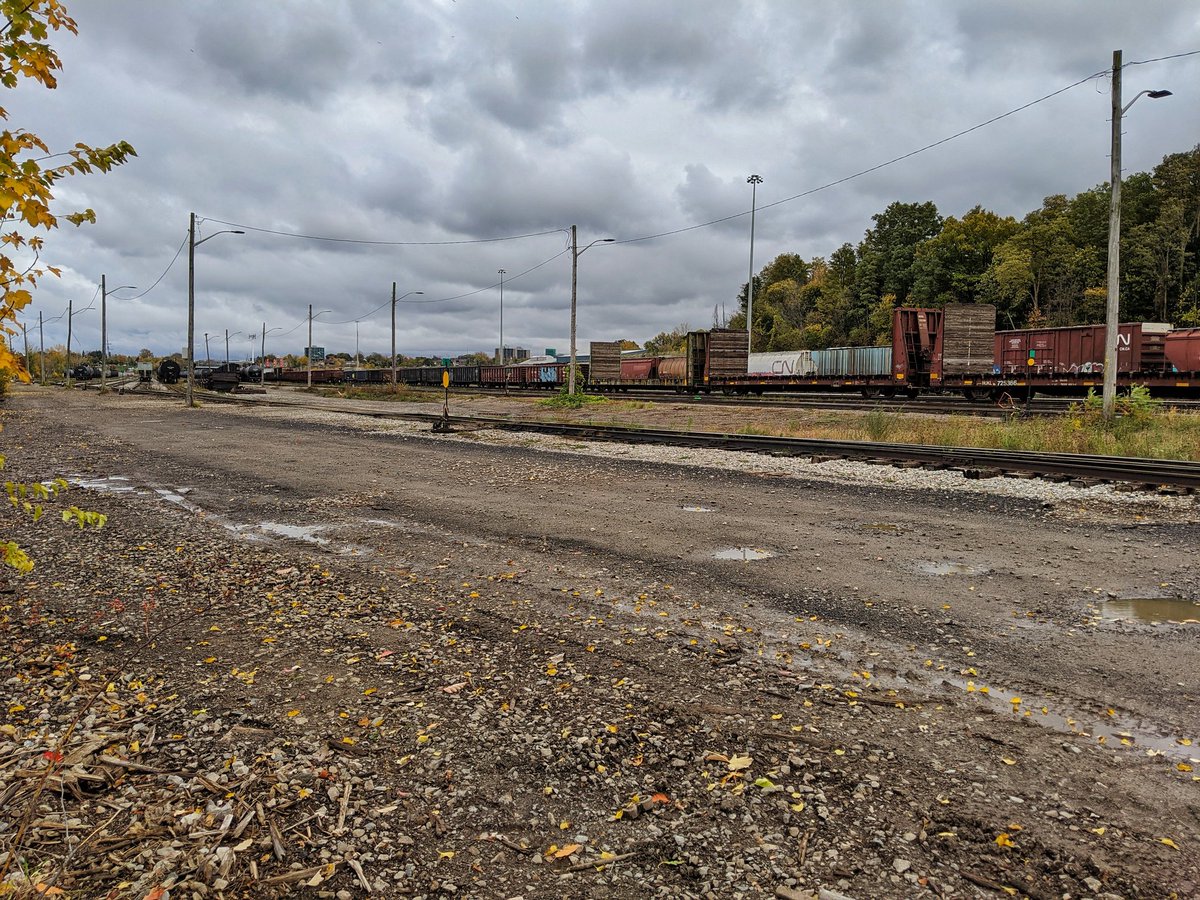
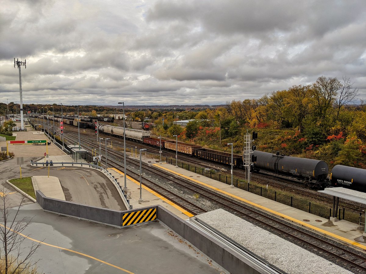
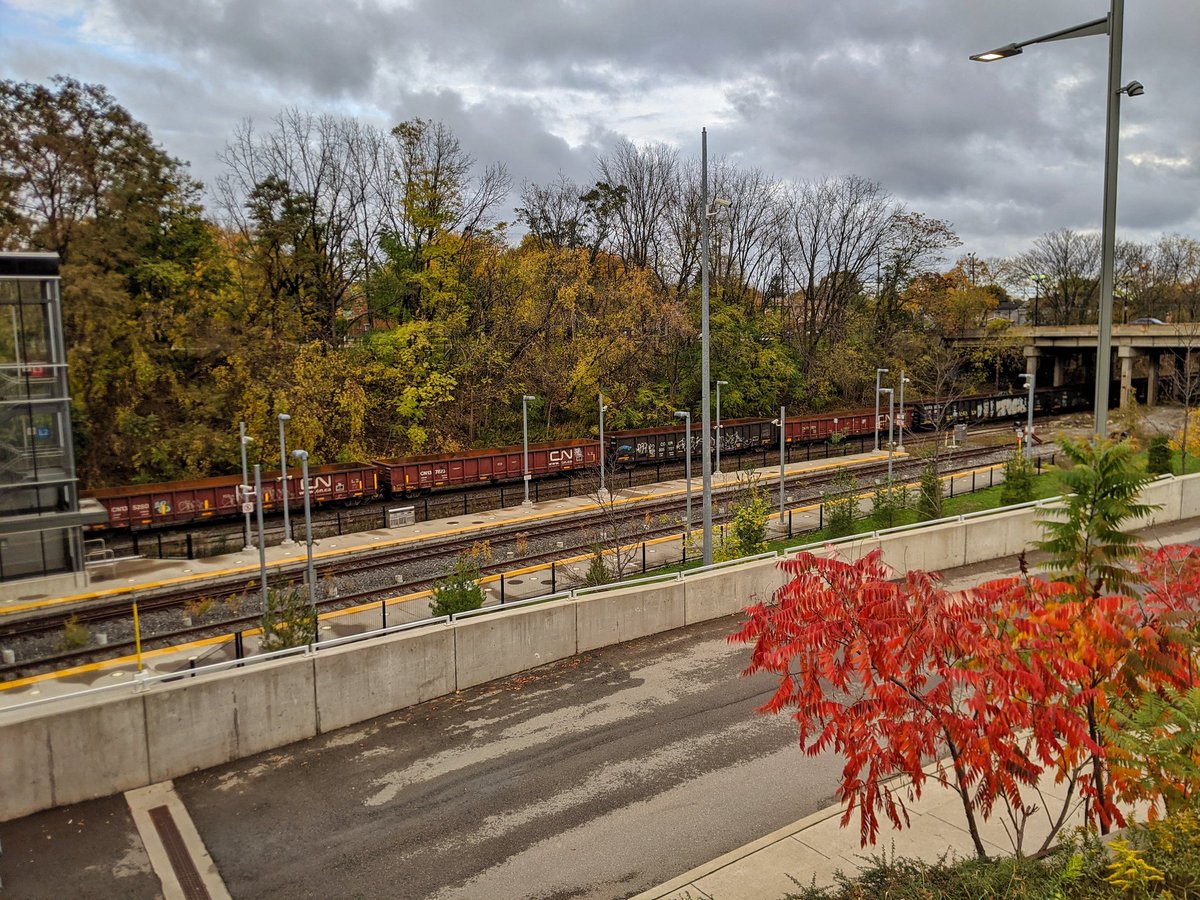
Now the old rail trail ends, and brings us to the active rail line. Canadian Pacific trains run through here, and GO trains sleep here on weekends before heading to Toronto on the weekday rush. Tributes to the former Toronto, Hamilton & Buffalo Railway live on.

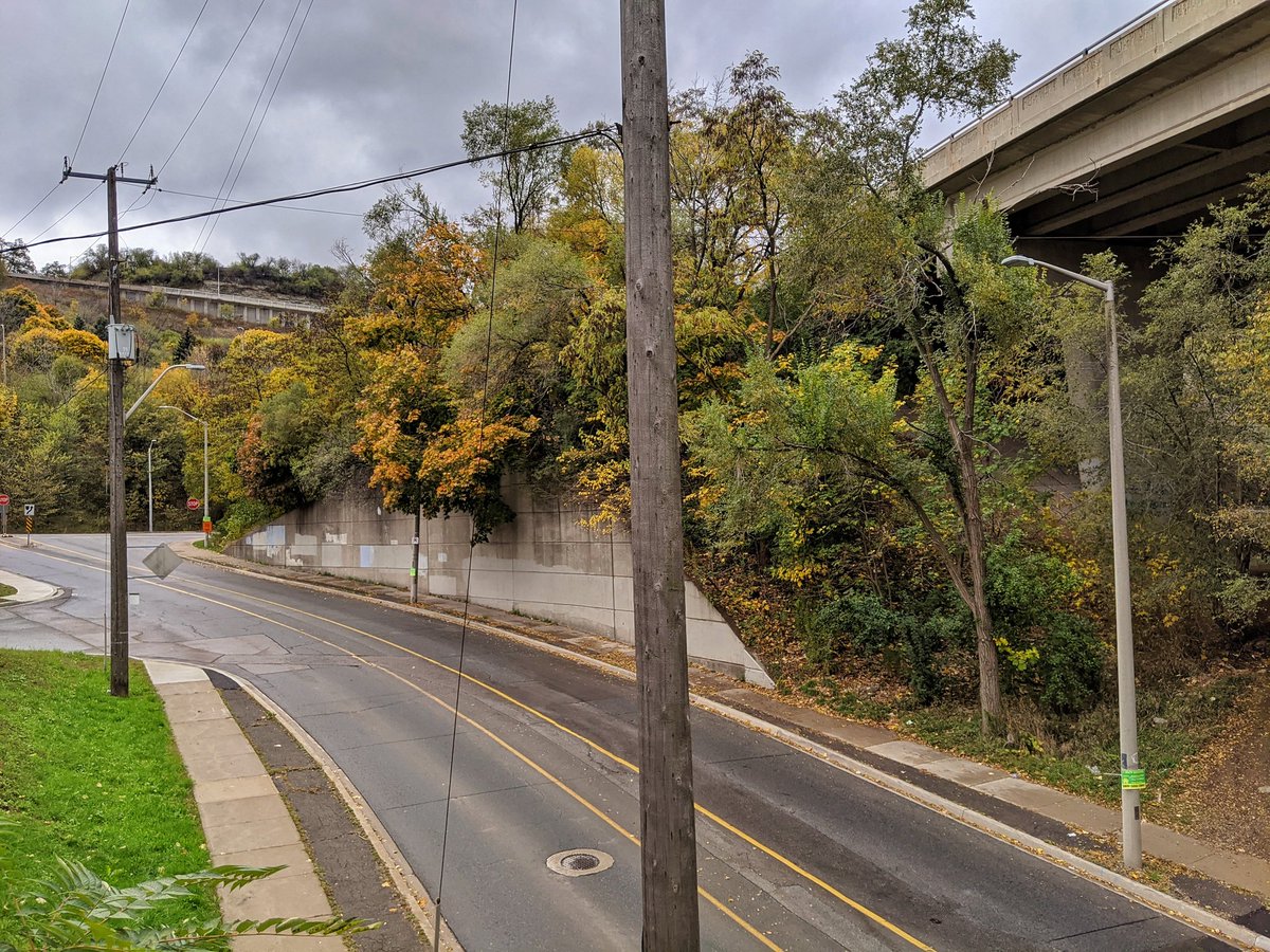
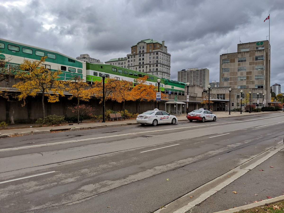
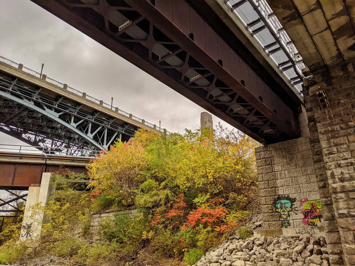
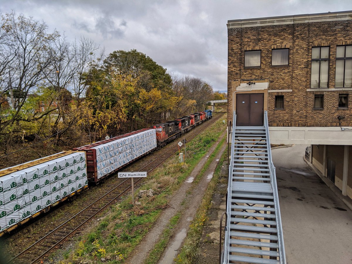
Sometimes running a railway through a city centre can produce some weird intricacies. Past Hamilton GO Centre, the city rises up again, and the rail line squeezes into a tunnel under Hunter Street.
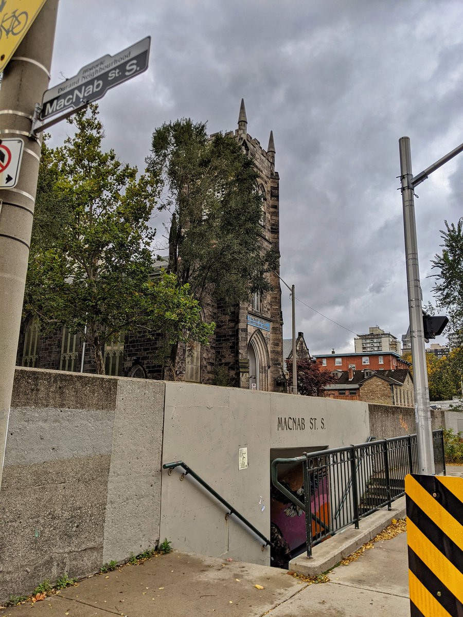

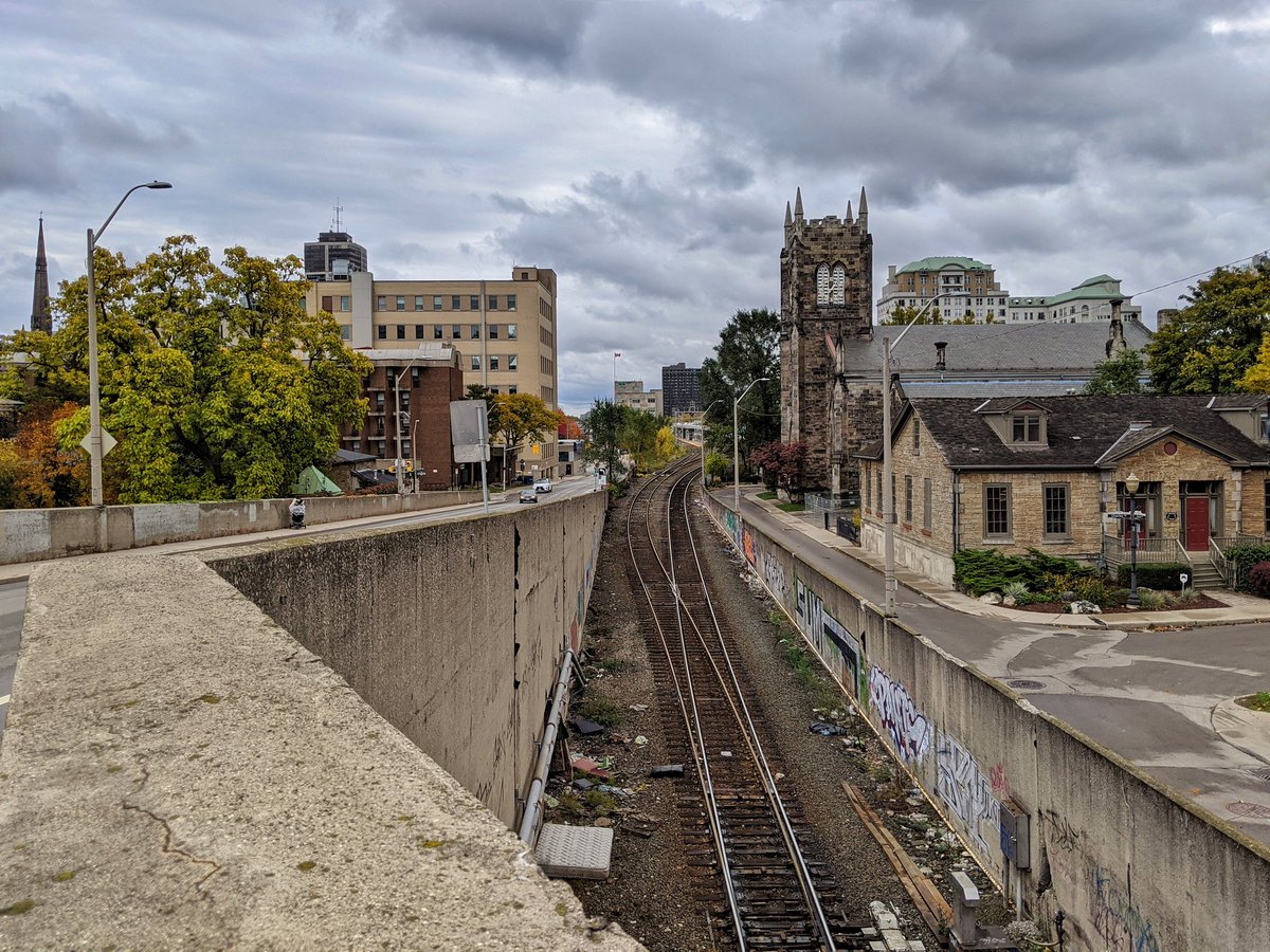
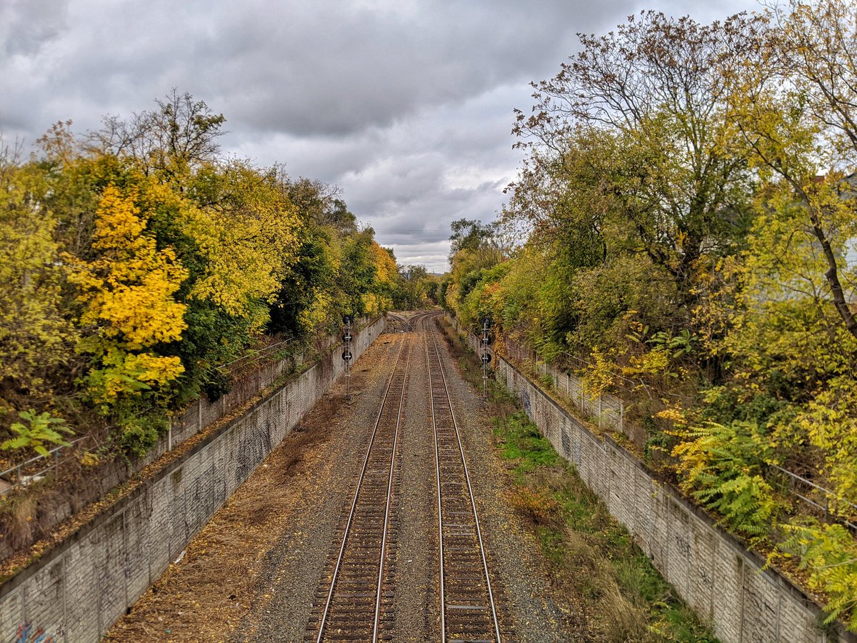
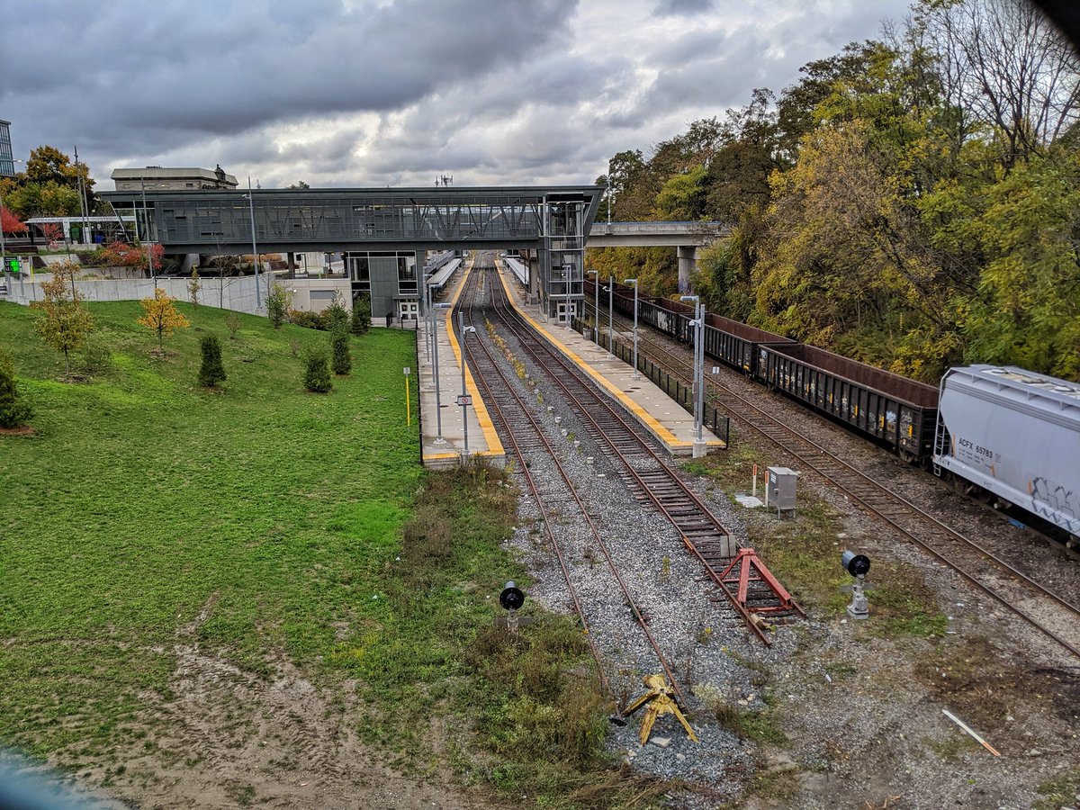
Out of the tunnel, this open cut is flanked by houses on either side. Widens back out to two tracks to a wye. South goes to an active rail yard and the rest of the former railway. We’re going to follow north to Desjardins Canal.
Turn to the right, then to the left, and then straight shot.


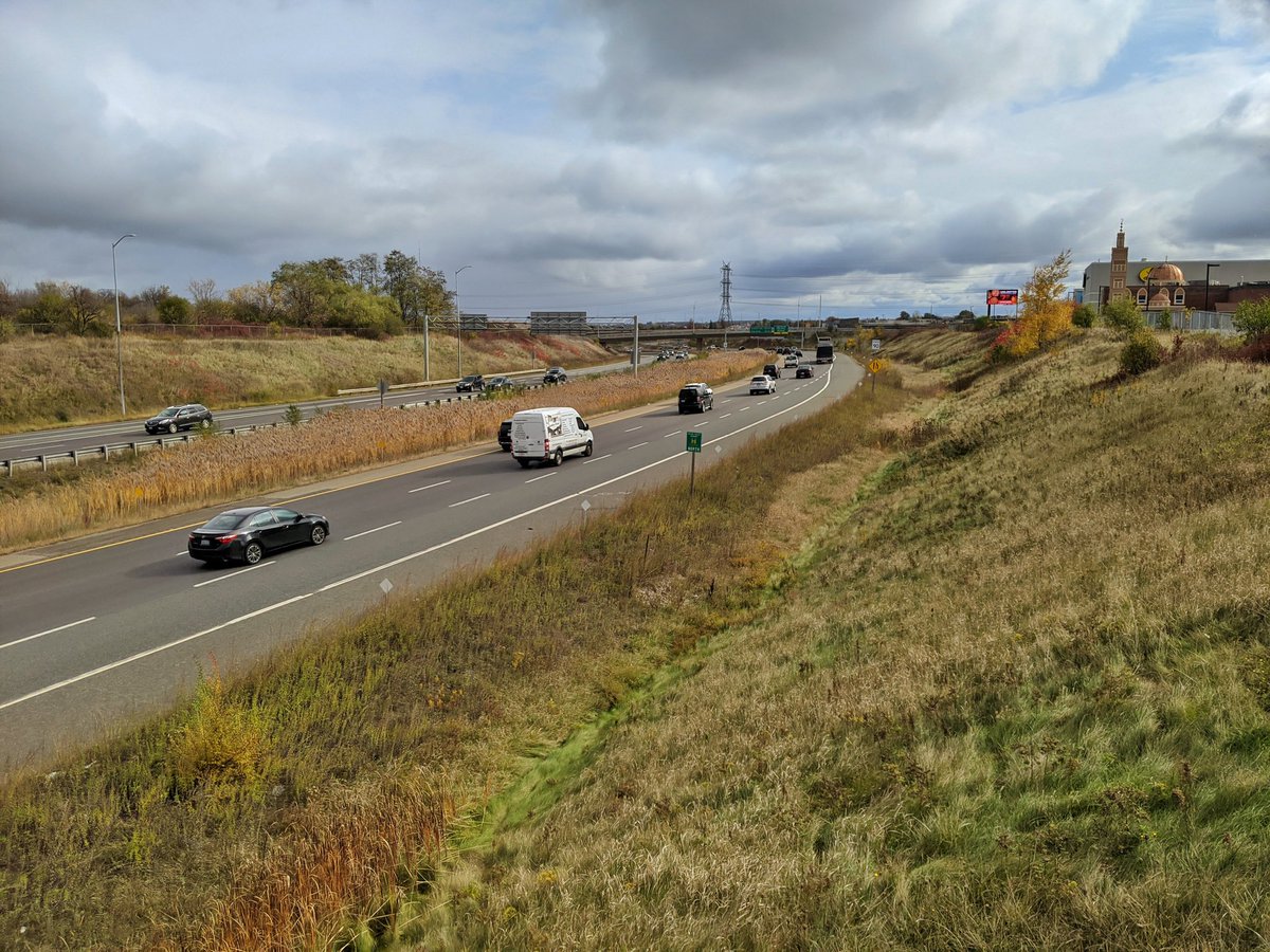
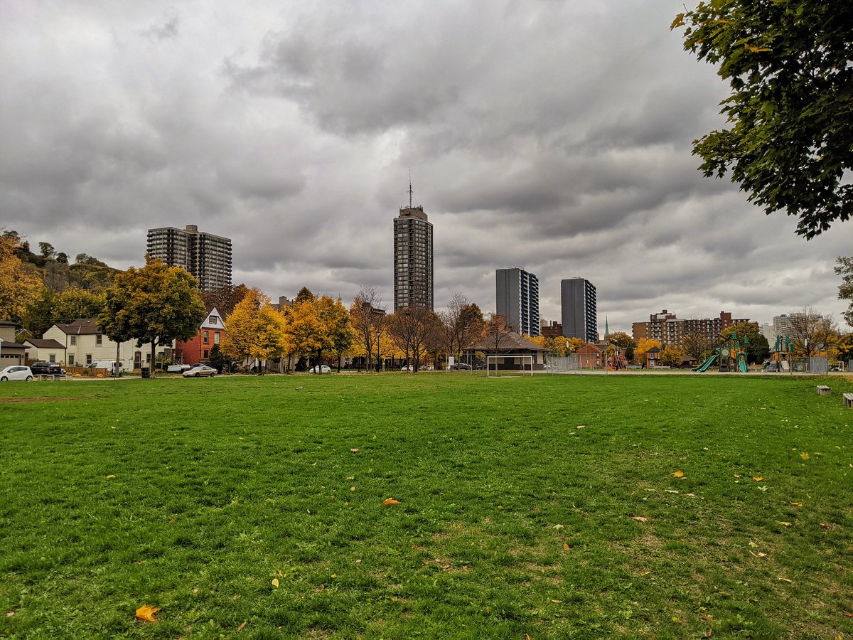
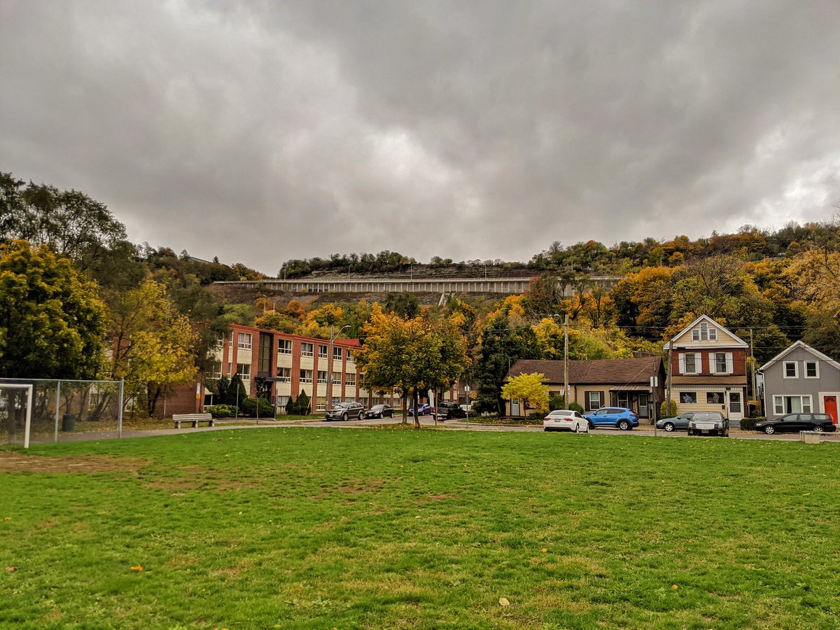
Through the isolated recreation fields at Kay Stage Park, sandwiched between the 403 and the rail line. It gets pinched off at the north end when the two corridors meet, which means I gotta backtrack.

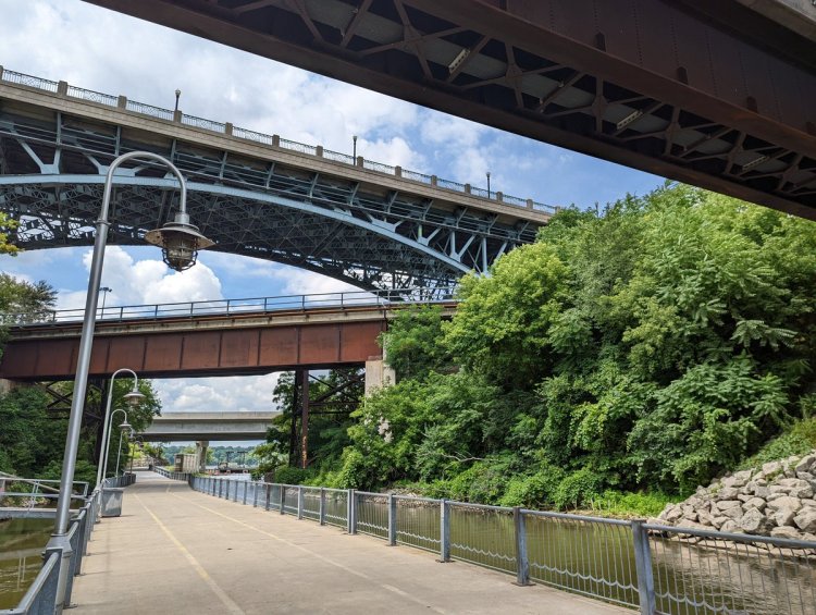
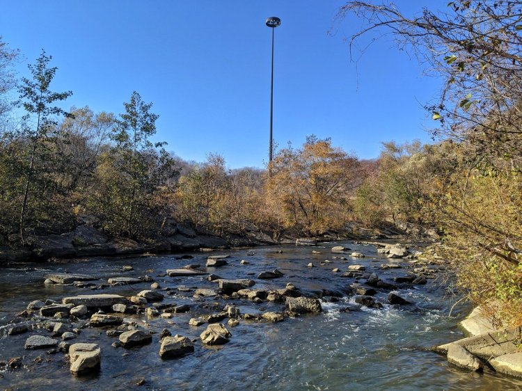
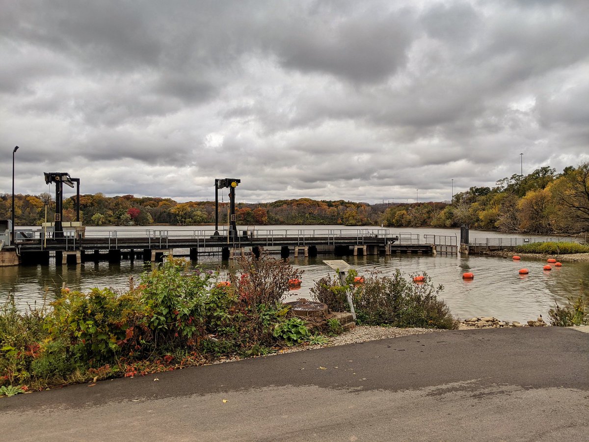
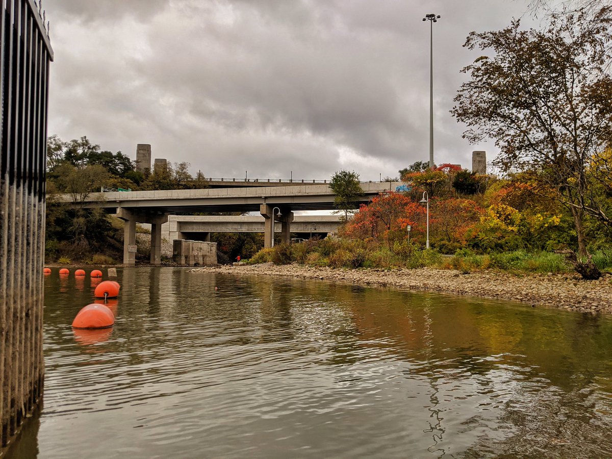
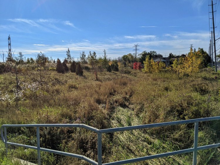
Under the expressway, down the mouth of Chedoke Creek, and past the fishway to the canal.
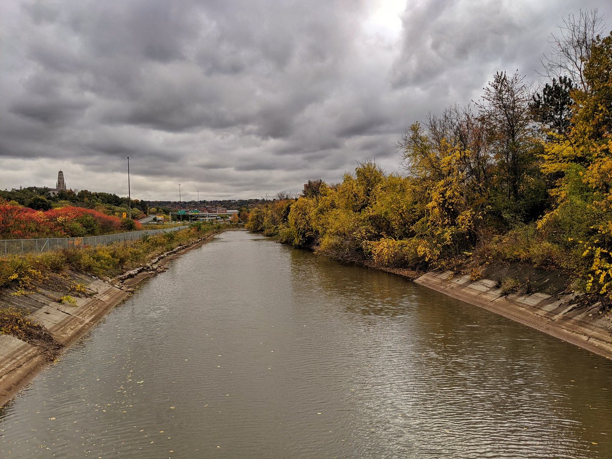
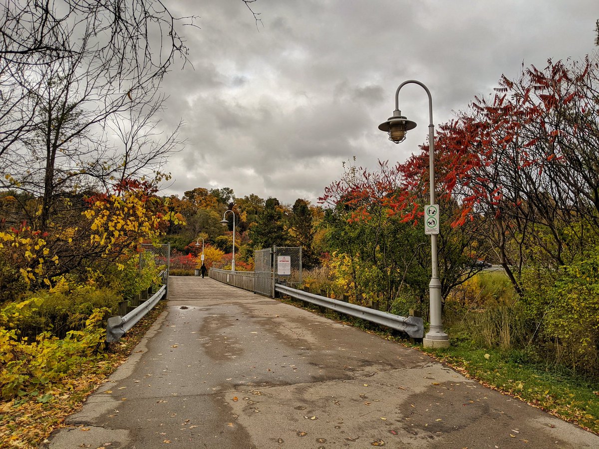
Desjardins Canal is a crazy tangle of roads, rails, water and trails. After passing through here, the Waterfront Trail leads you back to West Harbour, past an expansive freight yard. The sound of long trains starting and stopping thunders around the bay.
Back above the rails to West Harbour GO. Brand new station, because former historical station was not for sale. The real crime is that the east end wasn’t connected back to the mainline. Now Niagara trains can’t stop here without a time-wasting manoeuvre. That’s it for today.
Date: October 25, 2020
Length: 23.2 km
Type: Railway / Highway
Related Walks
Intersecting headwaters on top of the mountain
Red Hill Creek
Lake adjacent to the railway
West Harbour / South Cootes