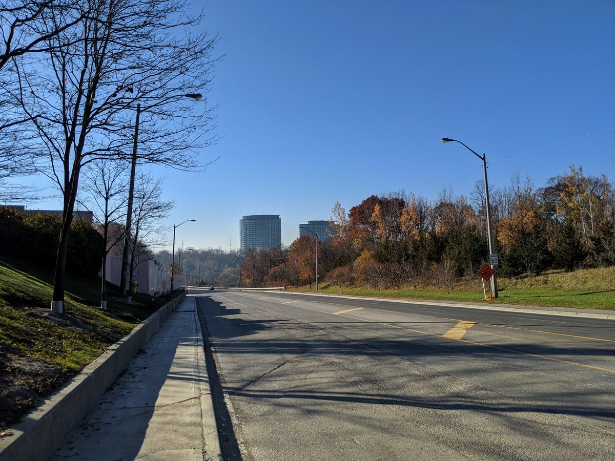
Good morning from Leslie and Eglinton in Toronto. Today I will be checking out a new segment of the East Don Trail, which just opened a few days ago. In addition I’ll be checking out the Leslie Spur Rail Trail and the West Meadoway. Let’s go.

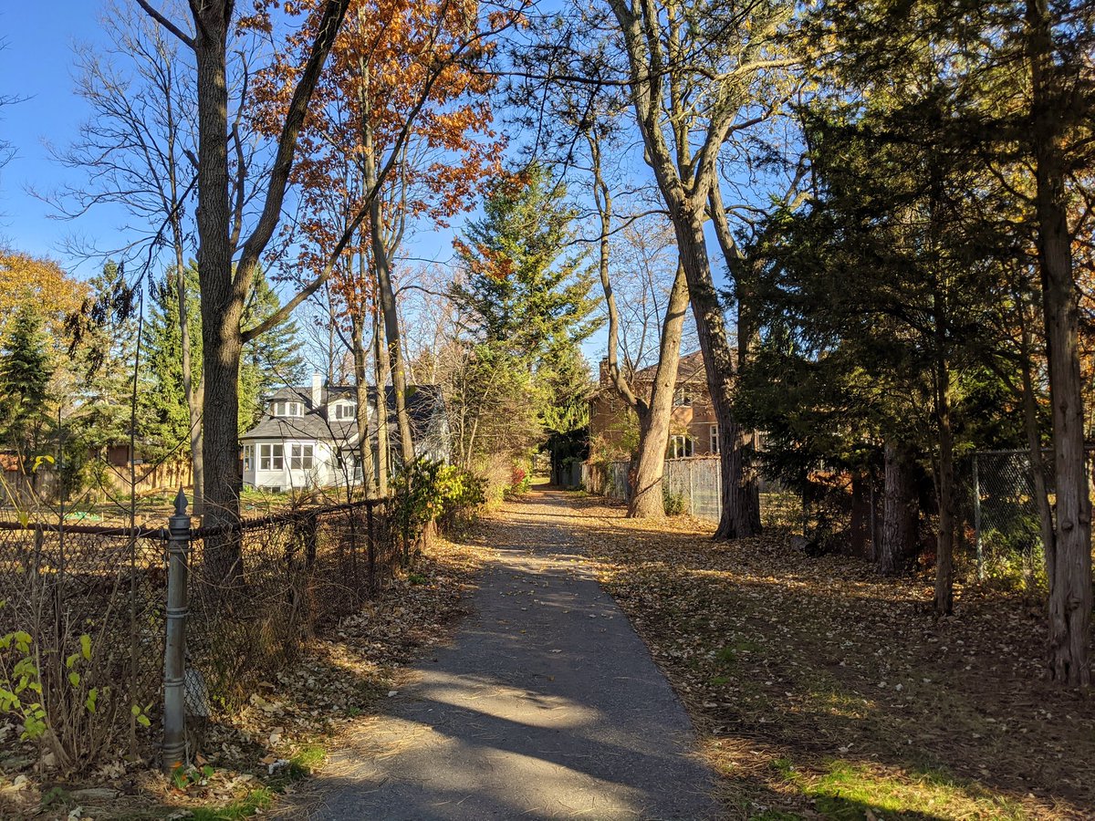
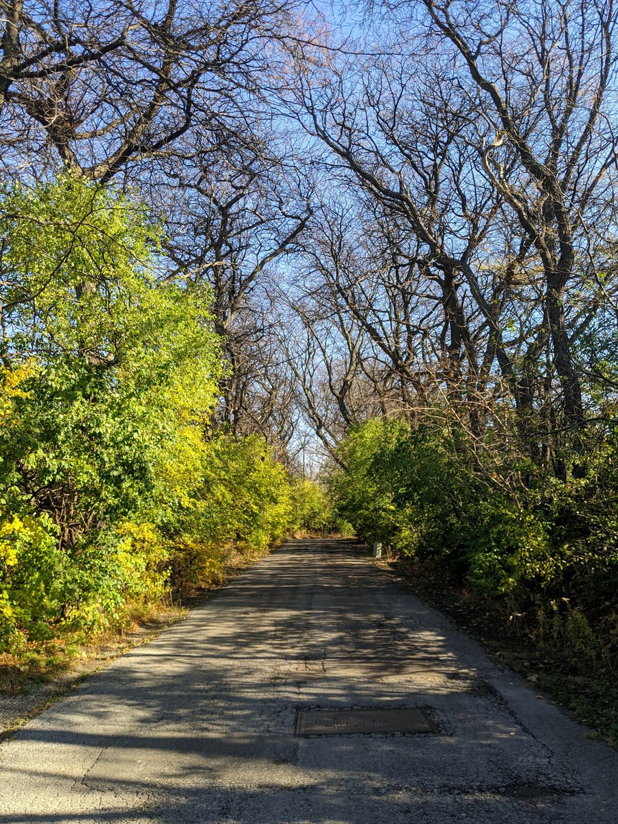
First up is the Leslie Spur. This was an old connecting track between Canadian Pacific’s east-west mainline through the city, and Canadian National’s mainline to northern Ontario. Now it’s a rail trail, and at 10 AM on a warm November morning, it’s teeming with hikers and bikers.

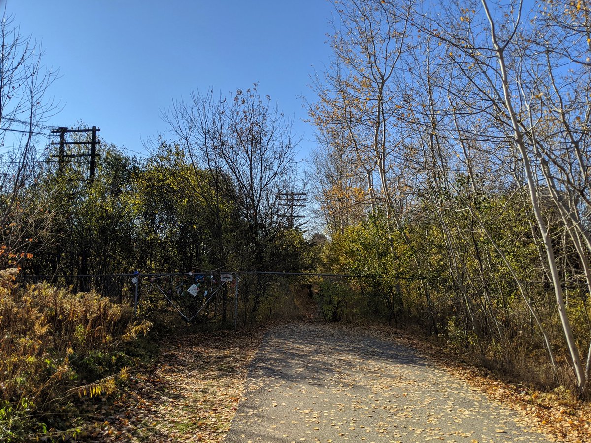


The south end has an ad-hoc connection through an industrial lot, but it will hopefully get a formal link to the West Don in the future. There are some neighbourhood links as you go north. It also splits into two parallel paths south of Lawrence.

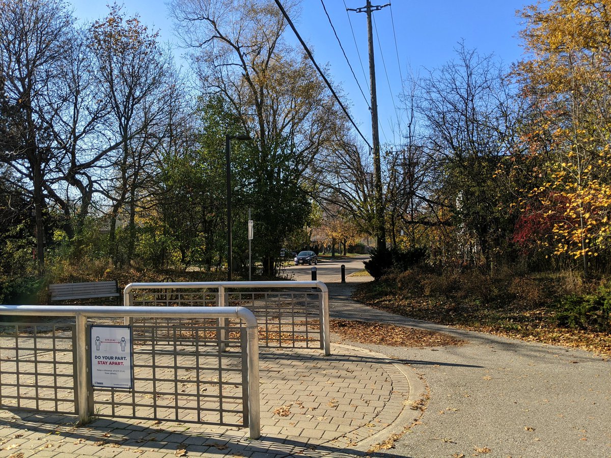
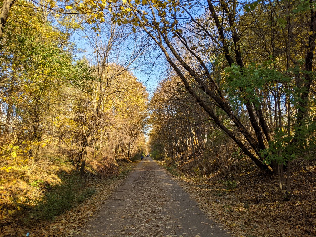
North of Lawrence, it collapses back to one path. The trees get in close. A neighbourhood link that leads to one of Toronto’s lost rivers.
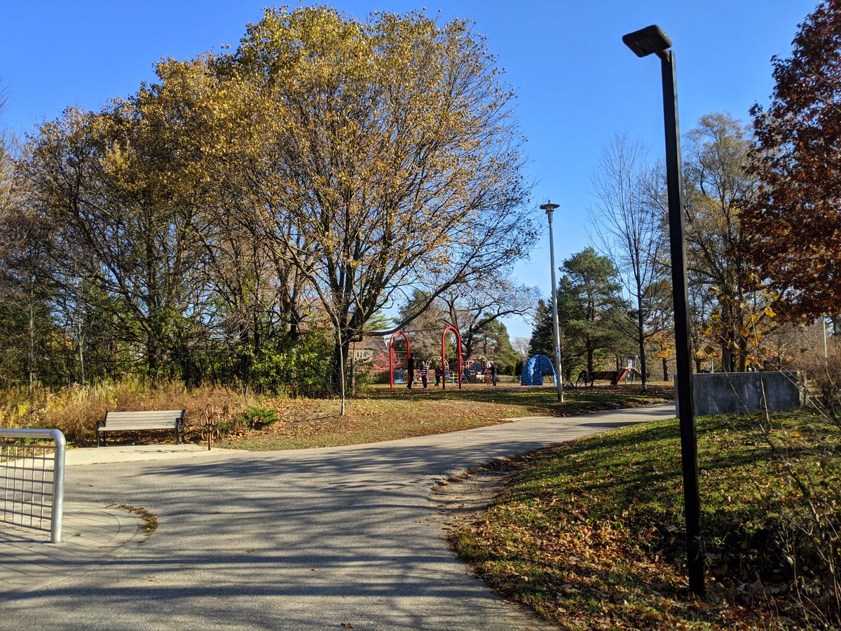

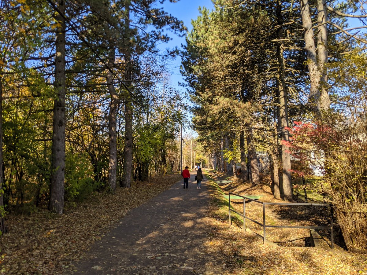
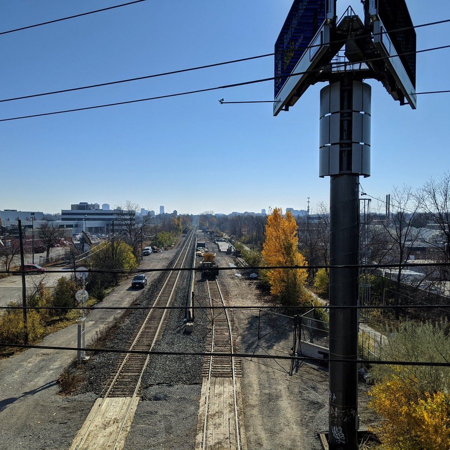
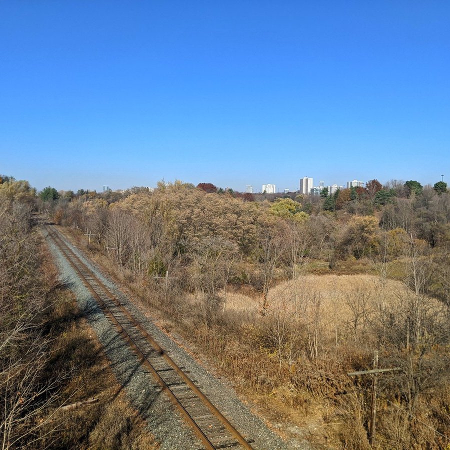
The path comes to Bond Park. Last time I was here, this was still a gravel railway bed. Nice to see they kept the bridge over the park’s car entrance. North of the park is where the old spur used to link up with CN’s tracks, this connection to York Mills never used to exist.


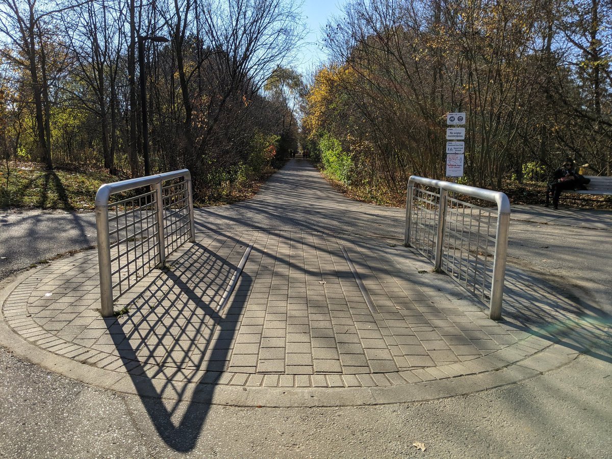
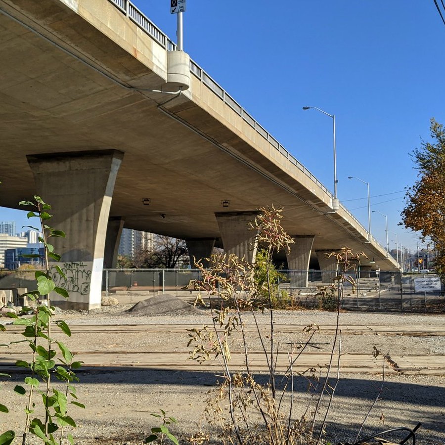
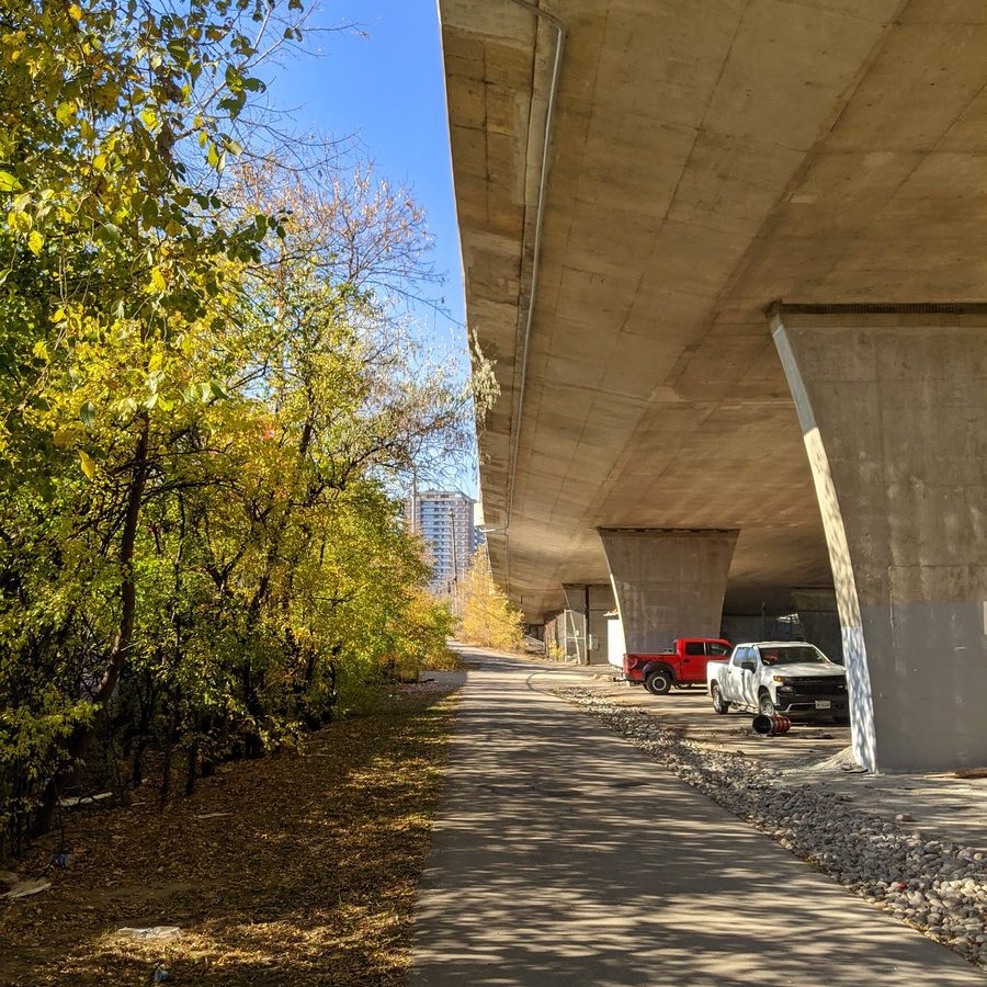
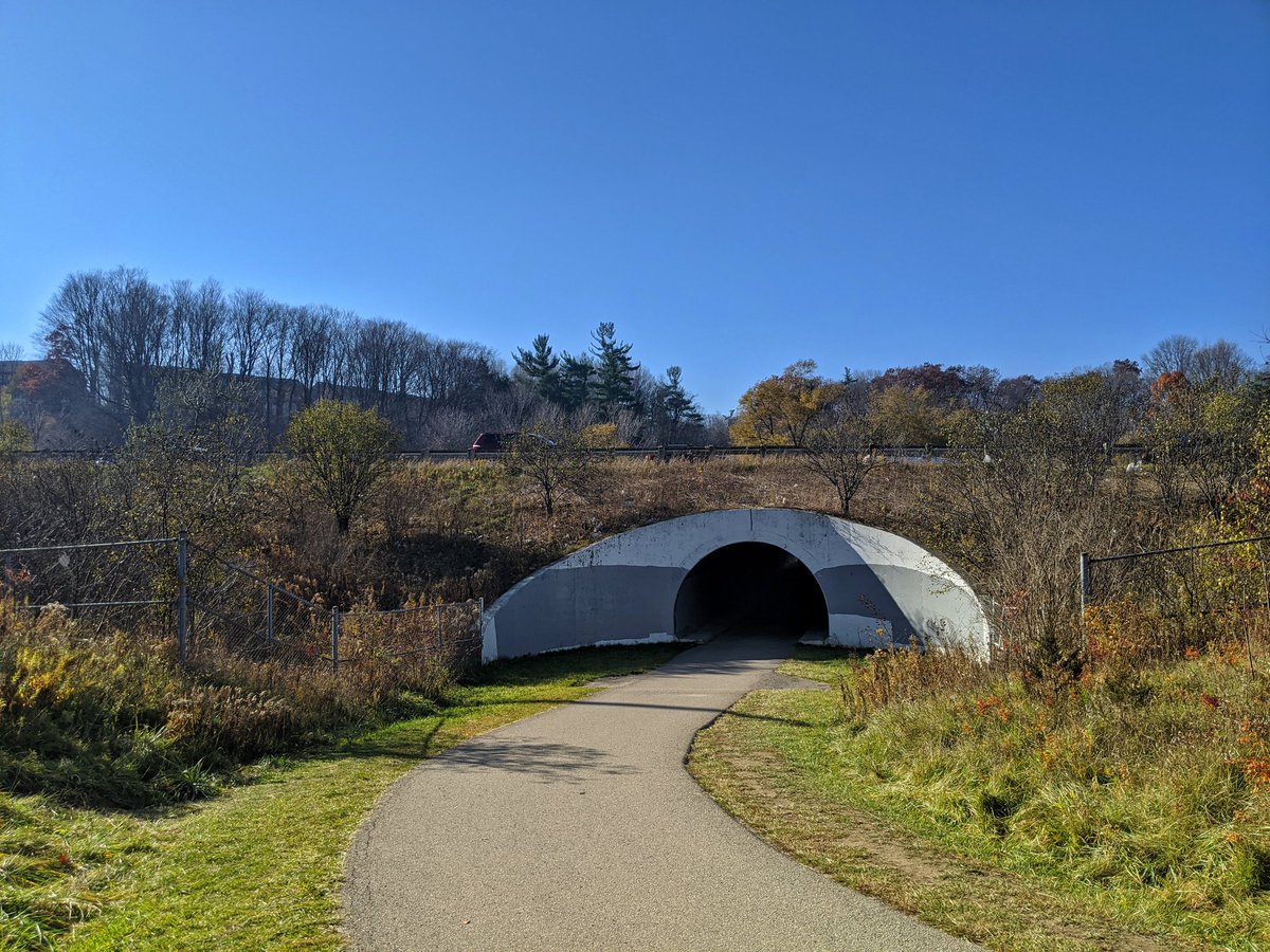
Great little connection under the beast that is the York Mills overpass. Getting up and over will now take us towards the East Don River.

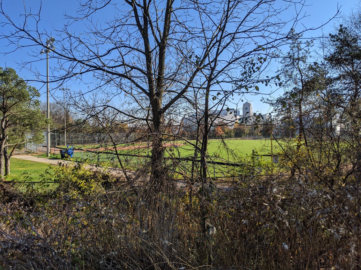
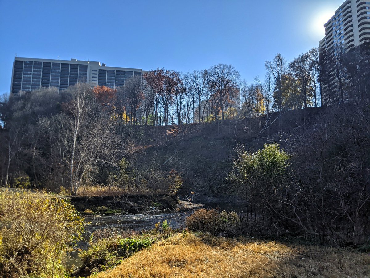
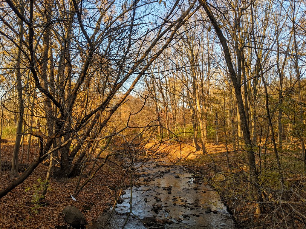
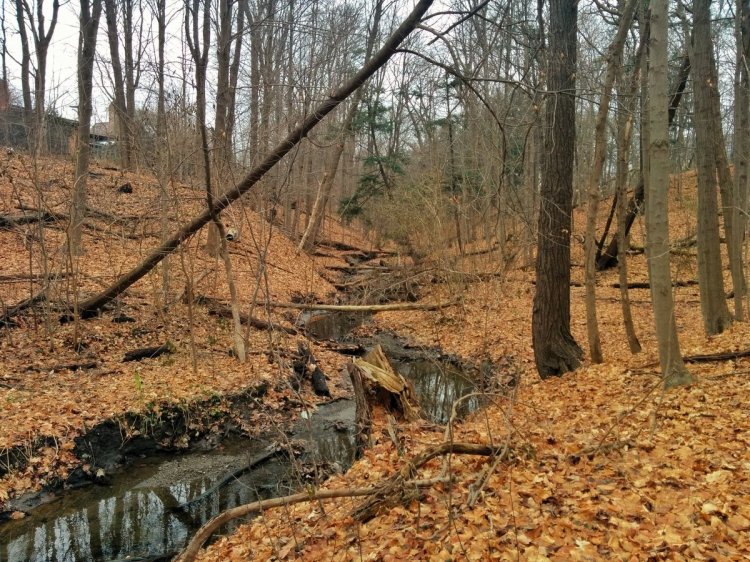
I’d love to show you the East Don River between Don Mills Road and Lawrence Avenue, but I have met a dreaded golf course. Only glimpses of the valley are possible.


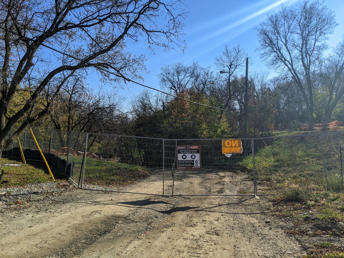
Took a gamble, hoping construction in Chipping Park had wrapped up, so I could get a shot of an East Don tributary. It didn’t pay off, construction is still going. The golf course does let pedestrians cross here, but no additional access to the river or its two tribs. Triple sin.

A small tributary. A wetland. Two gateways to the north.


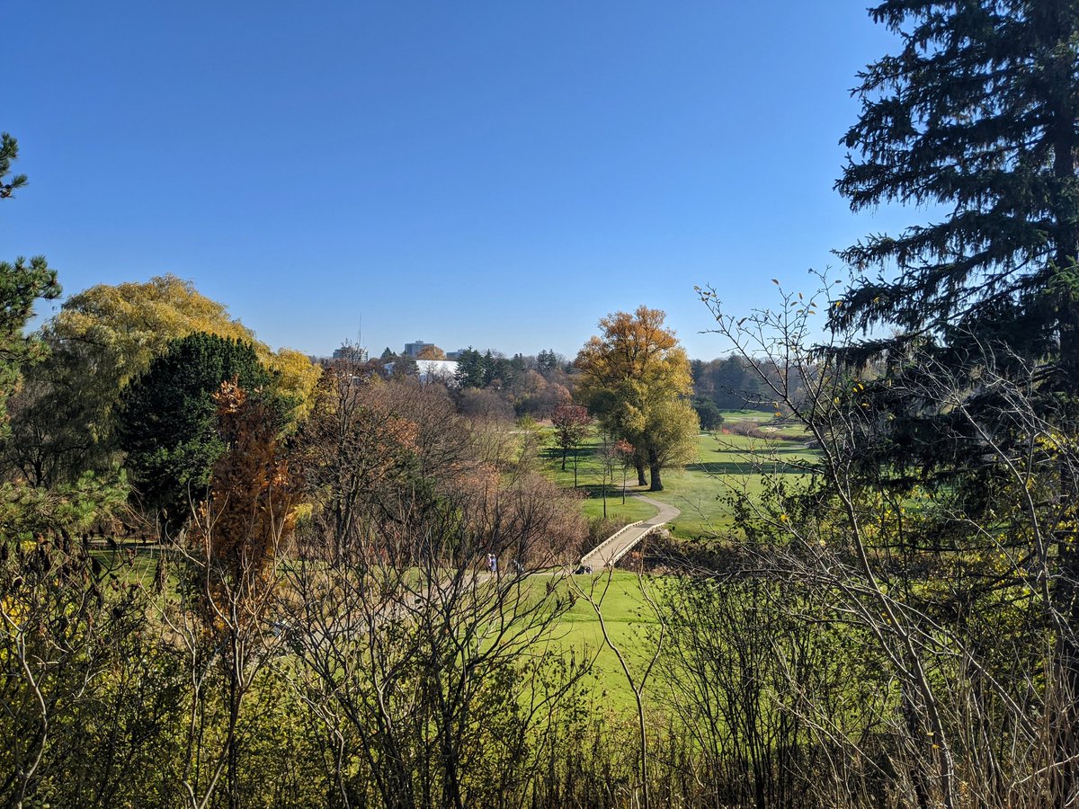
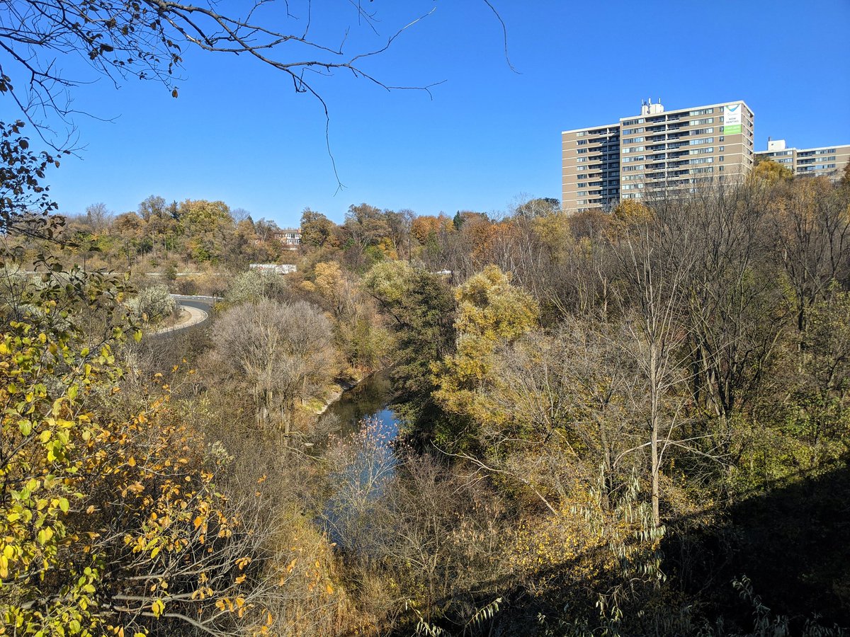
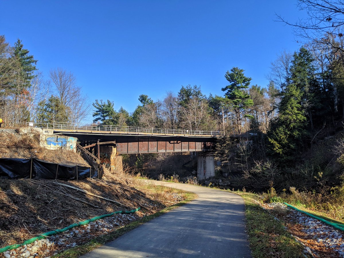
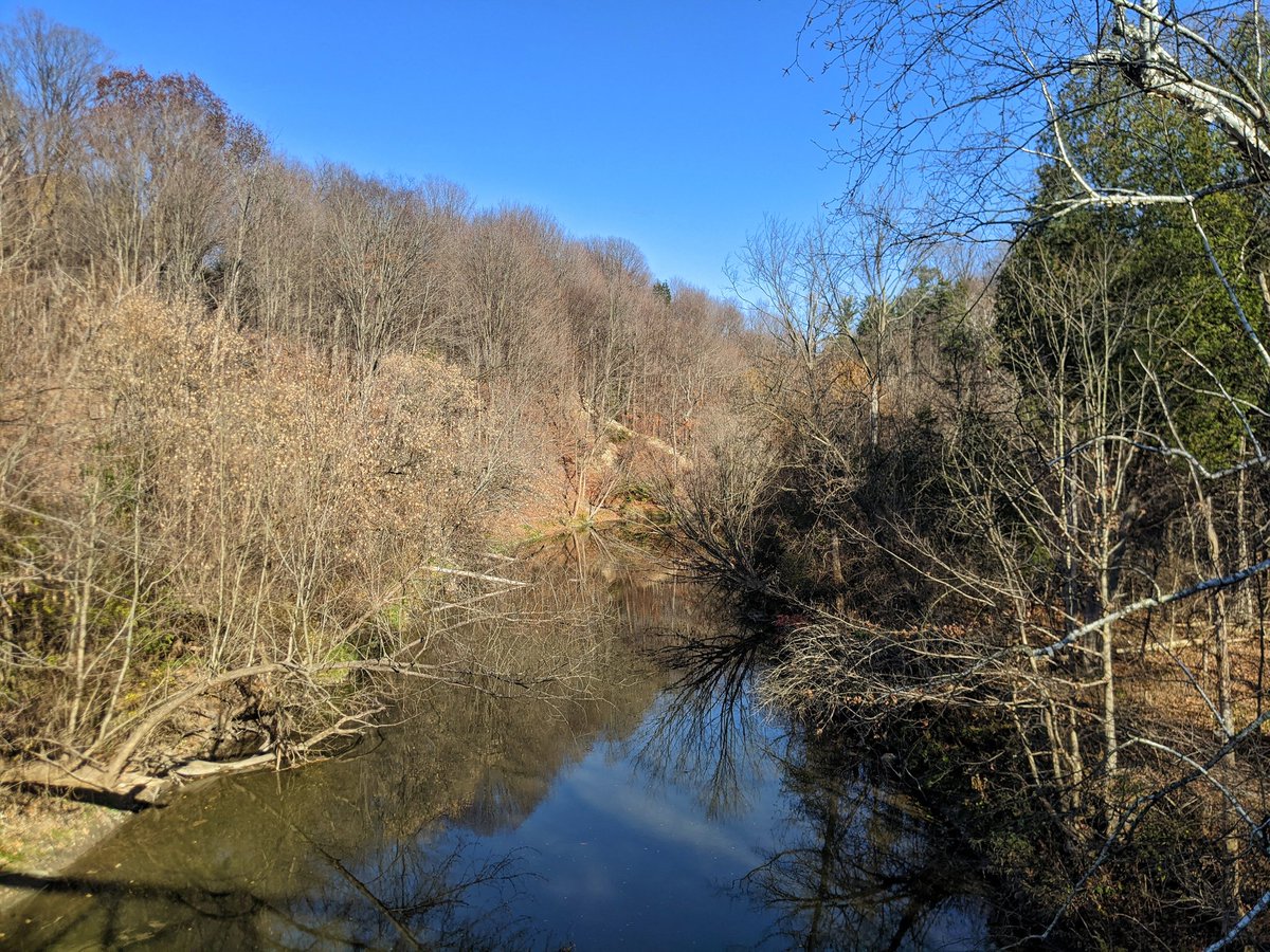
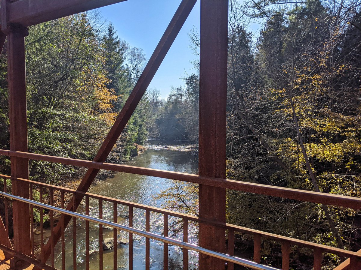
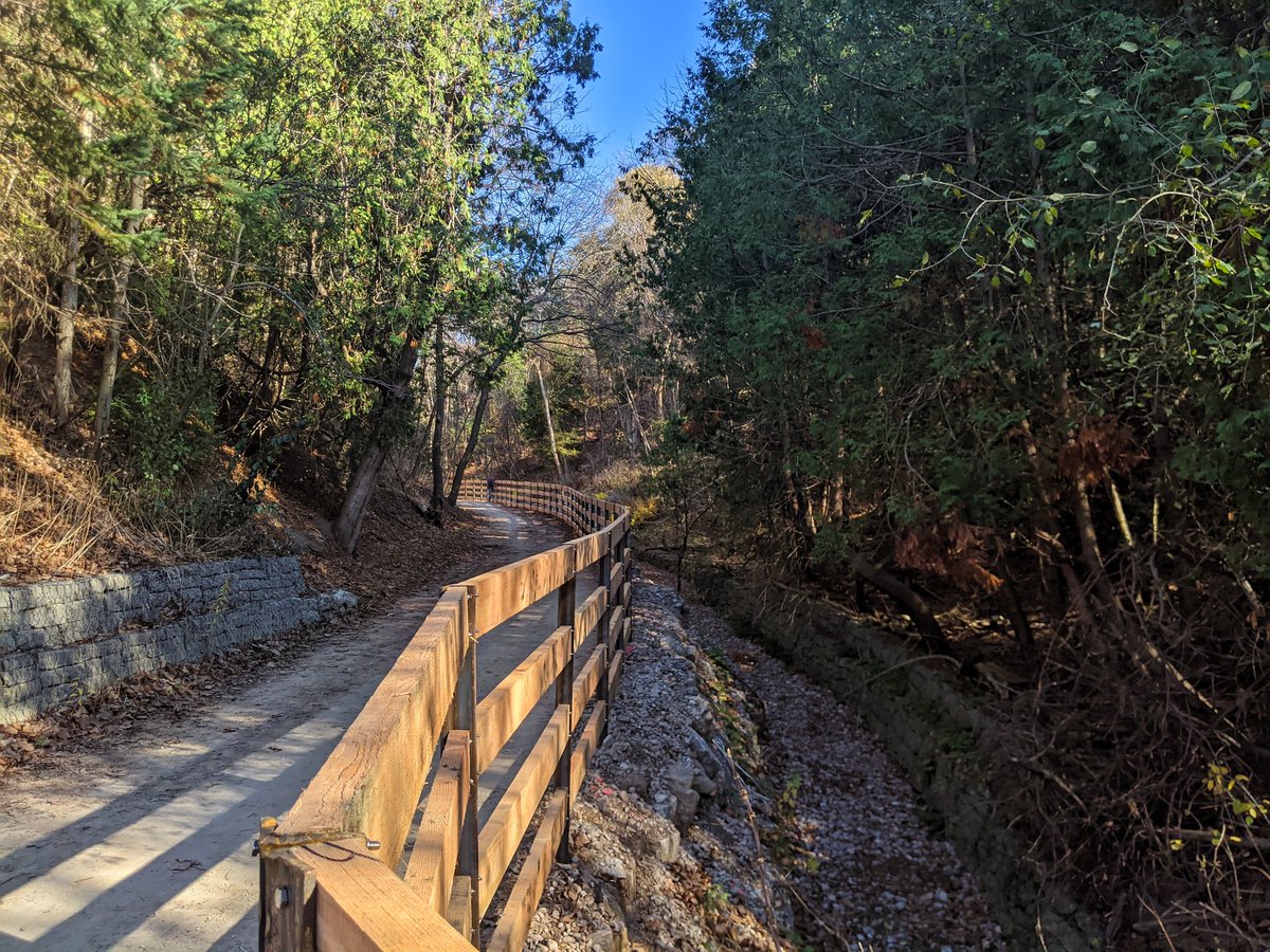
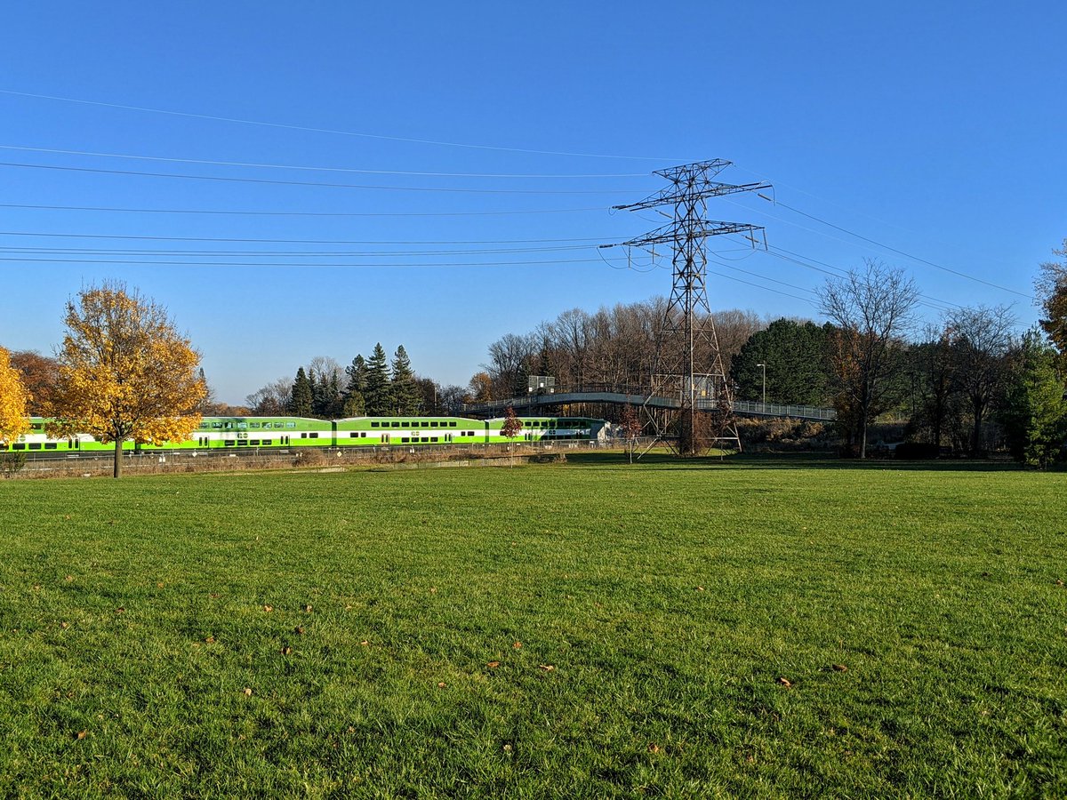
The East Don River. South from Lawrence, there is a formal trail that goes south, and was an isolated segment that exited at Wynford Drive until last week. It’s south of there where the new extension is, and that’s where I’m heading.
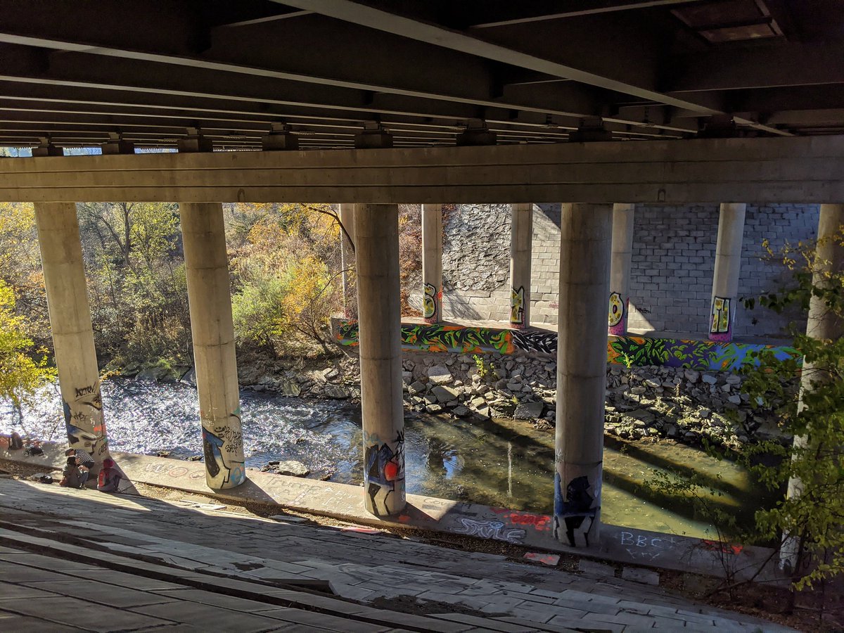

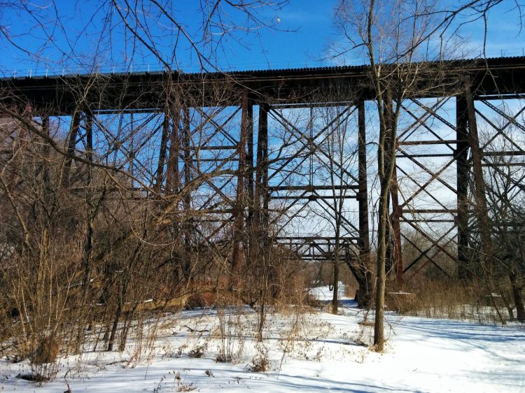
A detour to pay tribute to where it kind of all began. I grew up a stone’s throw from here. Some of my most first and most cherished memories were in this segment of the valley, through these tunnels. Pursuing that childhood nostalgia was a big driver behind exploring metroscapes.


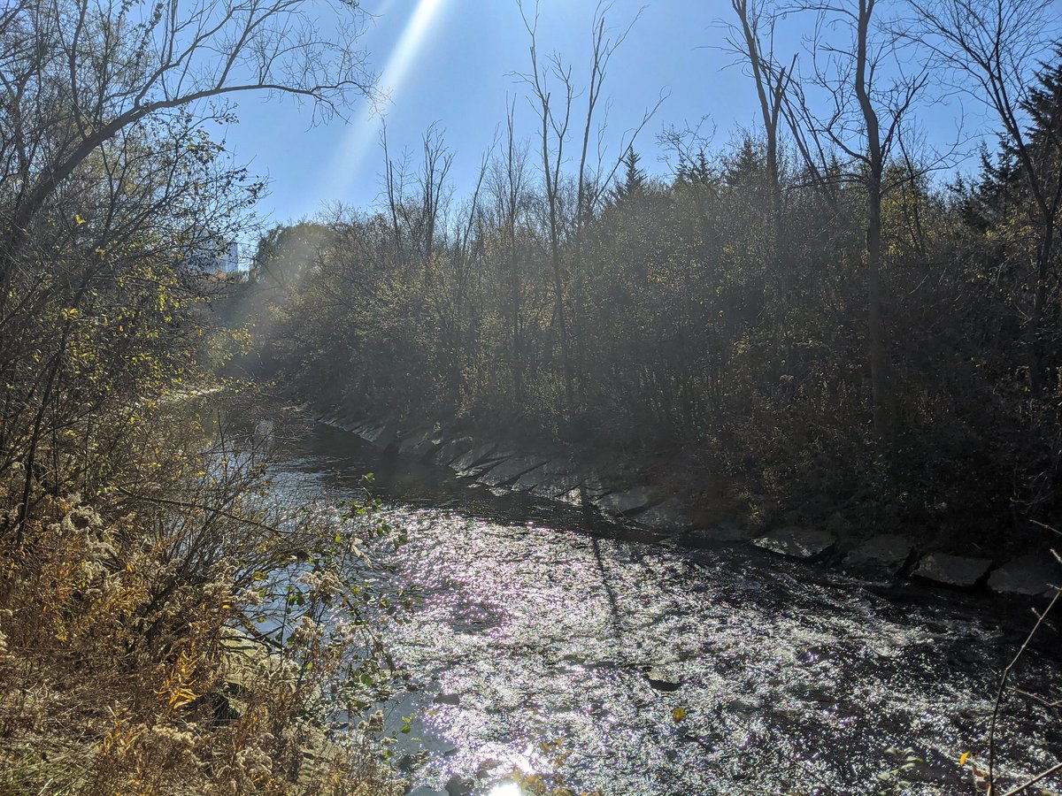
Now back to your regularly scheduled programming. A few more shots along the established trail to Wynford.


And here we go: the new (south) extension of the (central?) East Don Trail. Fantastic. Even the noise from the DVP dies off.


It’s very interesting to overhear the chatter from others.
“I just find it amazing we’re in the City of Toronto…”
“This is incredible, I’ve never been here before…”
“This is where we saw the salmon!”
The people have spoken, they love it. Now let’s build more like it.


Through a large switchback and parallel to a small tributary. I remember there was hang wringing by some over the significant grade that needed to be overcome here, but it’s been done well. Super gentle, saw lots of folks of differing ages and abilities handling it no problem.


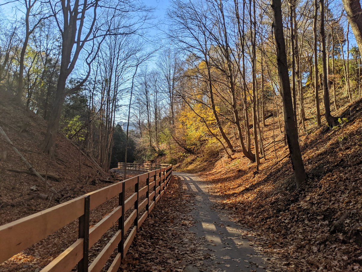
Phase 2 of the East Don Trail ends at Wigmore Park. Phase 1 will go from south of Eglinton to the Forks of the Don a year or two from now. Phase 3 will link them…someday. Anyways, onto the third chapter of today’s walk: the west Meadoway.


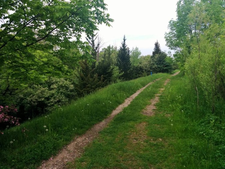
The start of this stretch is notable for me, as a) it follows a little tributary of the East Don, and b) there’s a relatively new segment of trail between Eglinton and Victoria Park I haven’t walked on before.

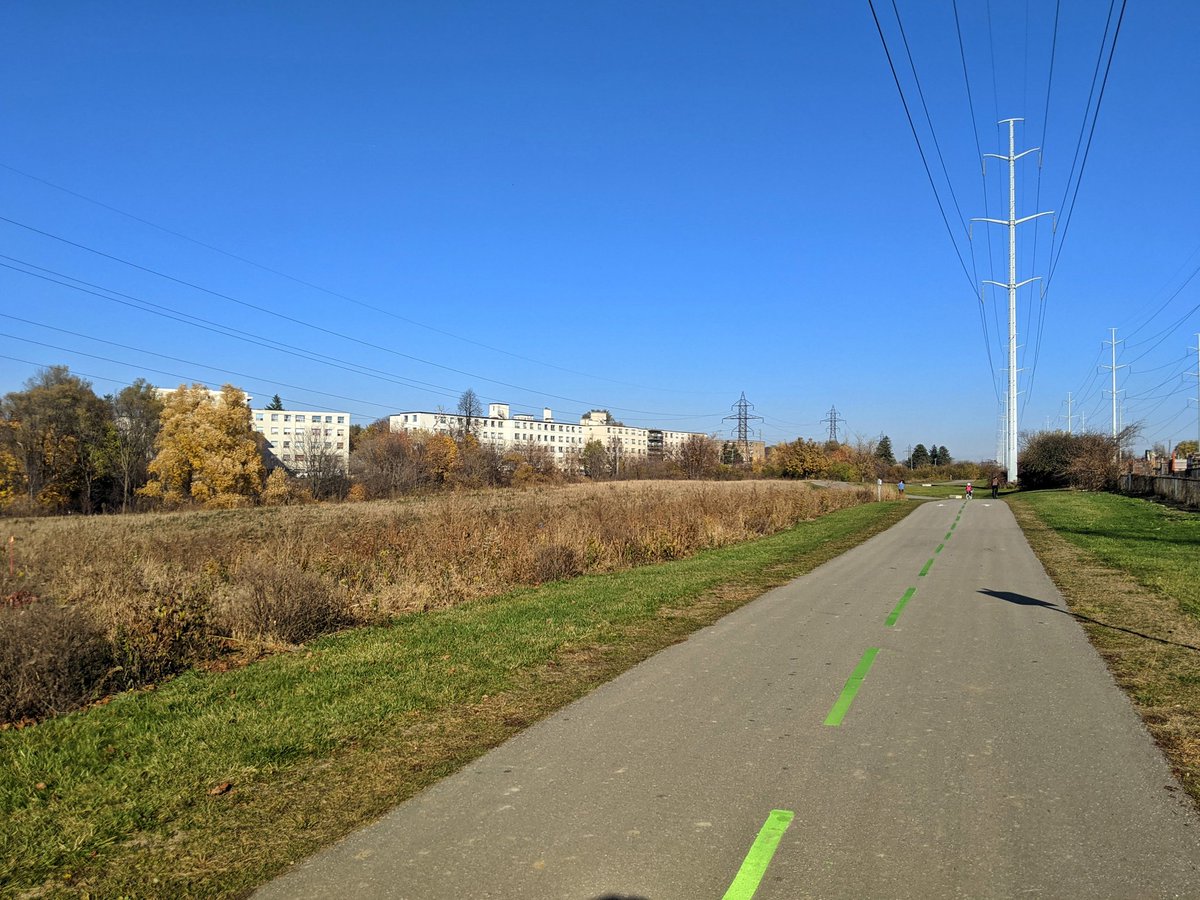


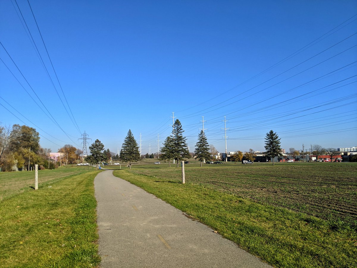
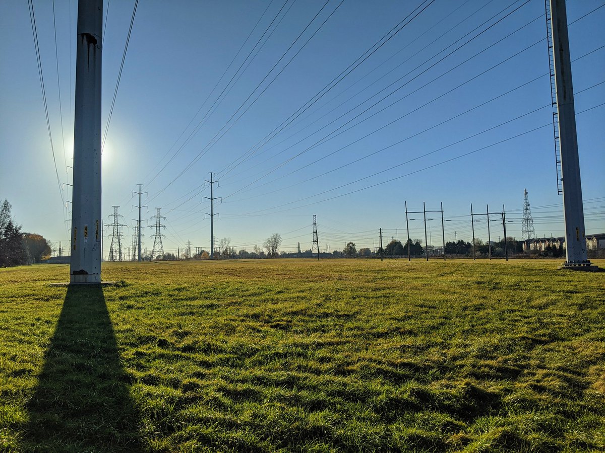
The Meadoway concept is hydro corridor + meadows + trails. Sounds radical and new, but truth is one or both elements have already been in place in many spots along here. Trail’s been here awhile, some tilling has begun. Also, a bad erosion spot has still not been fixed.


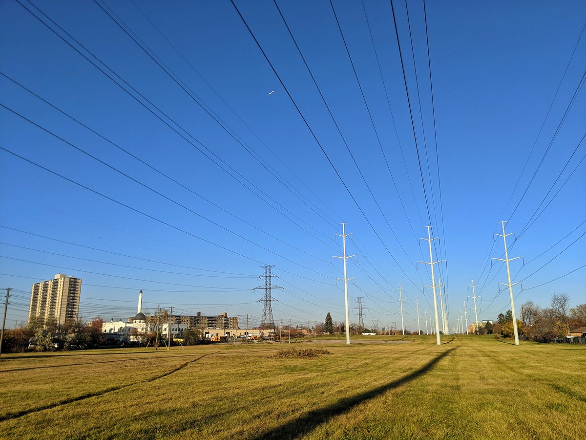
On to Kennedy, where the trail sort of ends. Another pathway continues south of Jack Goodland Park, and links up with a bridge over the parallel GO and TTC lines, before dumping you into a little subdivision. It would be nice to have a more direct crossing in the future.


Alongside a branch of West Highland Creek back to the corridor, there’s no trail here. It’s a tough slog through the thick grass.


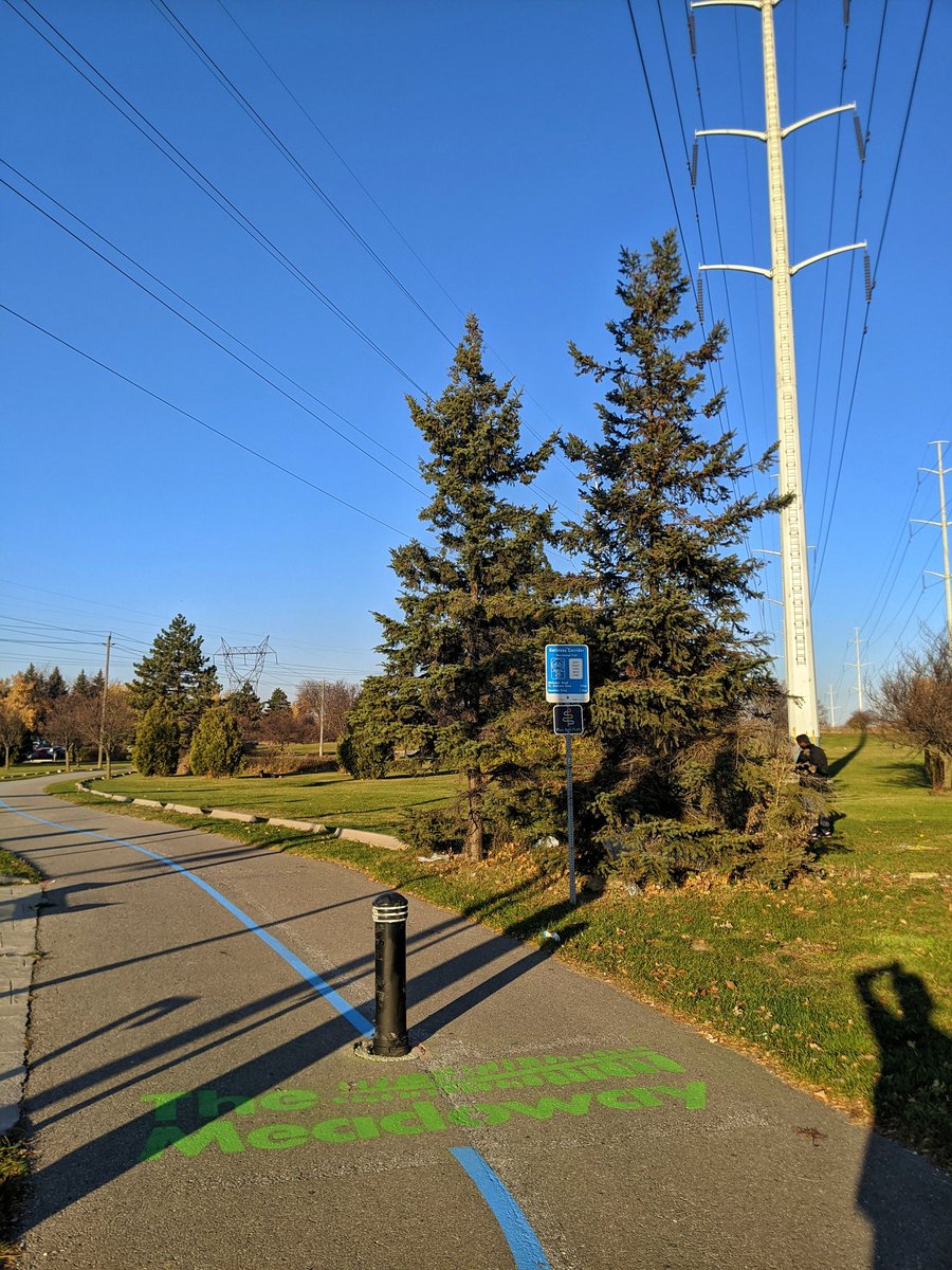
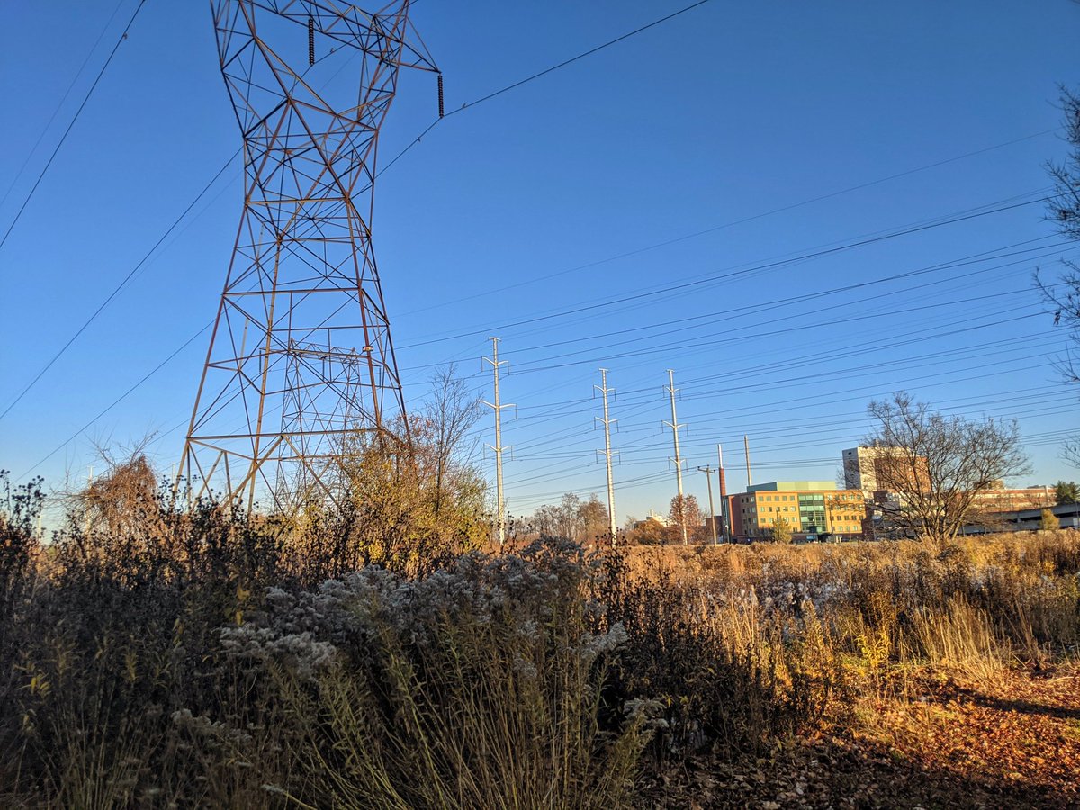
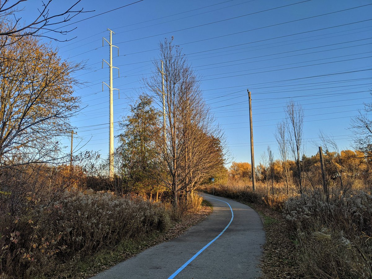
More marching until Marcos Boulevard, when the trail reappears. Then you reach Thomson Memorial Park. More significant branding shows up, including a blue line for the Meadoway, and a red line for the Pan Am Path. Sun’s getting low, my shadow is hard to not capture.


Descent into the West Highland Creek valley. One last glimpse of the hydro corridor at McCowan. And that’s going to be a wrap for today.

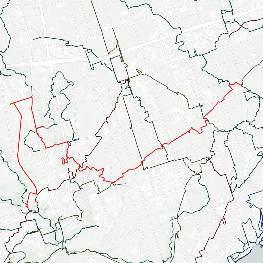
Date: November 8, 2020
Length: 23.2 km
Theme: Riverine / Utility
Related Walks

East Don upstream of York Mills Road
East Don IV
Small tributaries of the East Don
East Don III
Canadian Pacific rail line over the East Don
CP Midtown
Gatineau Hydro Corridor continued south of Eglinton
West Gatineau Hydro


Intersecting hydro / pipeline corridor in Wexford
Scarb Utility
Taylor Massey Creek upstream / downstream of Meadoway
Taylor Massey II

West Highland Creek (Dorset Branch) downstream of Meadoway
West Highland II
West Highland Creek upstream / downstream of Meadoway
West Highland I

Meadoway (Gatineau Hydro Corridor) continued east of McCowan Road
Meadoway East


