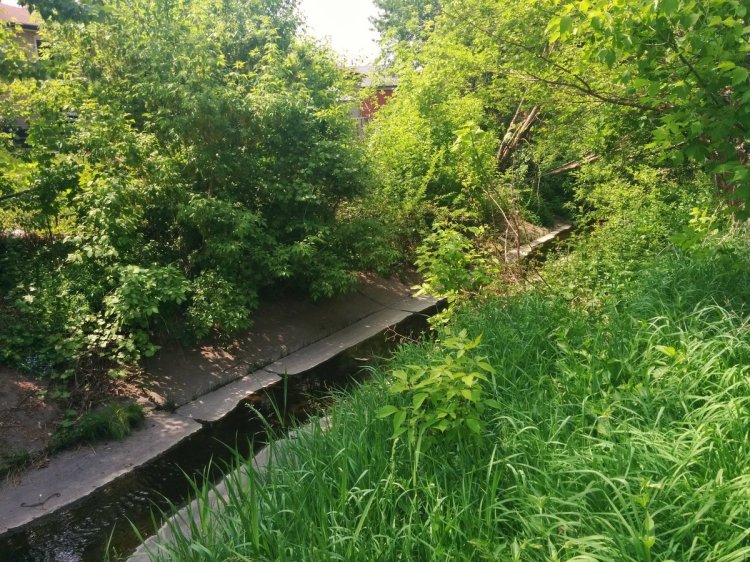
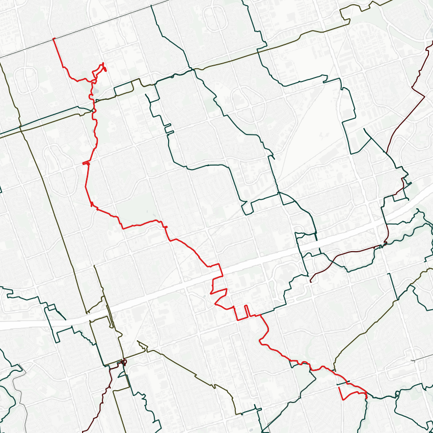
Good morning. I’ll be following West Highland Creek today. My starting point will be the confluence between the main branch and the Dorset branch.


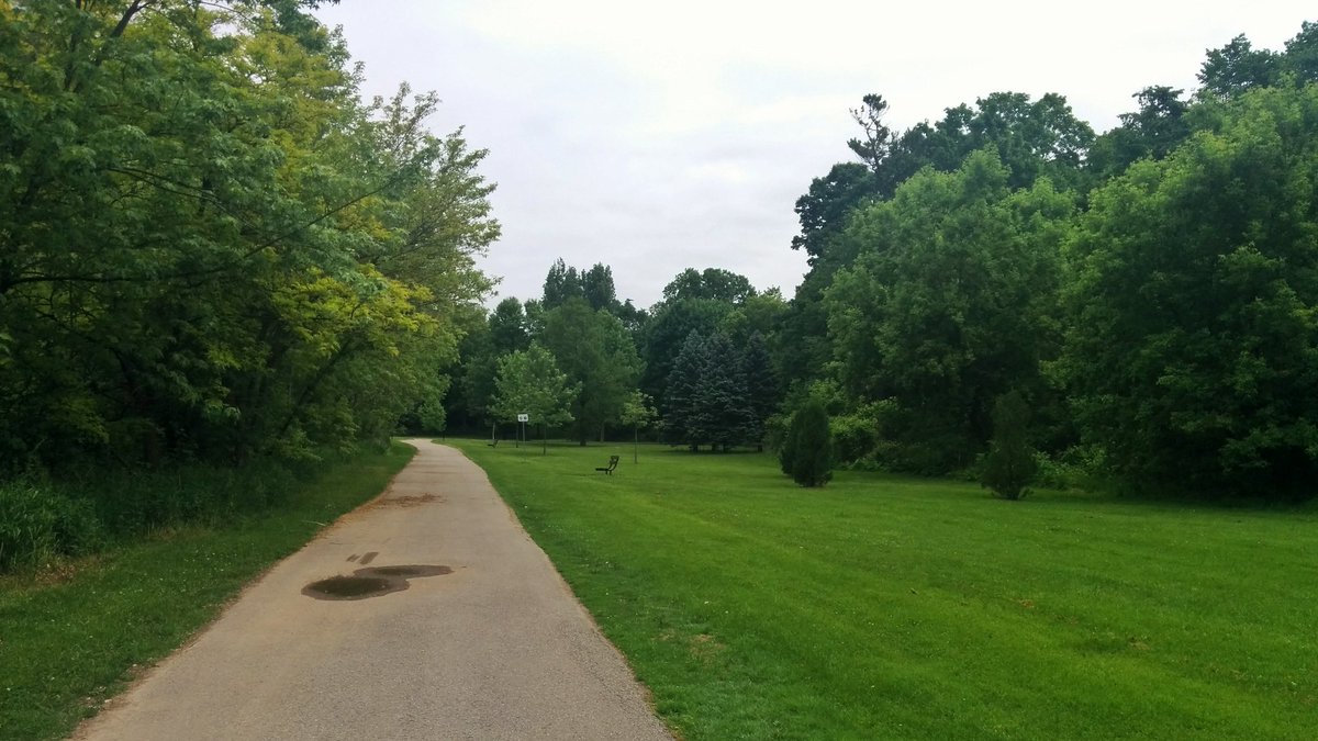
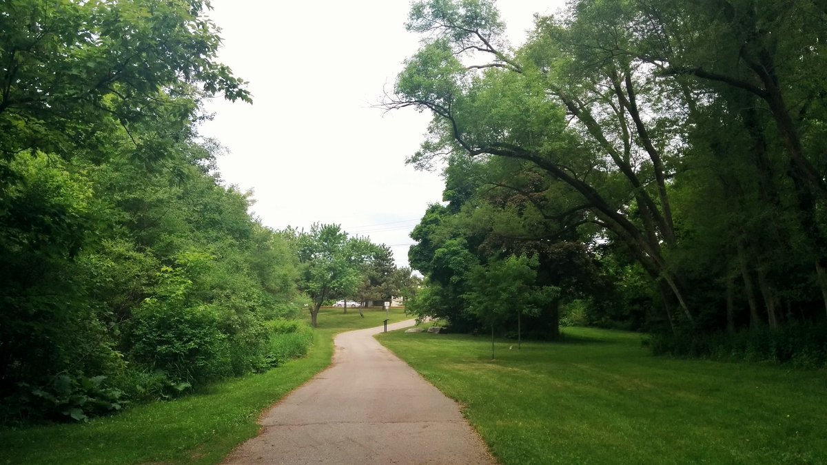
Great start to the walk. Good multi-use trail with grade separation and lots of local connections. This will include The Meadoway.


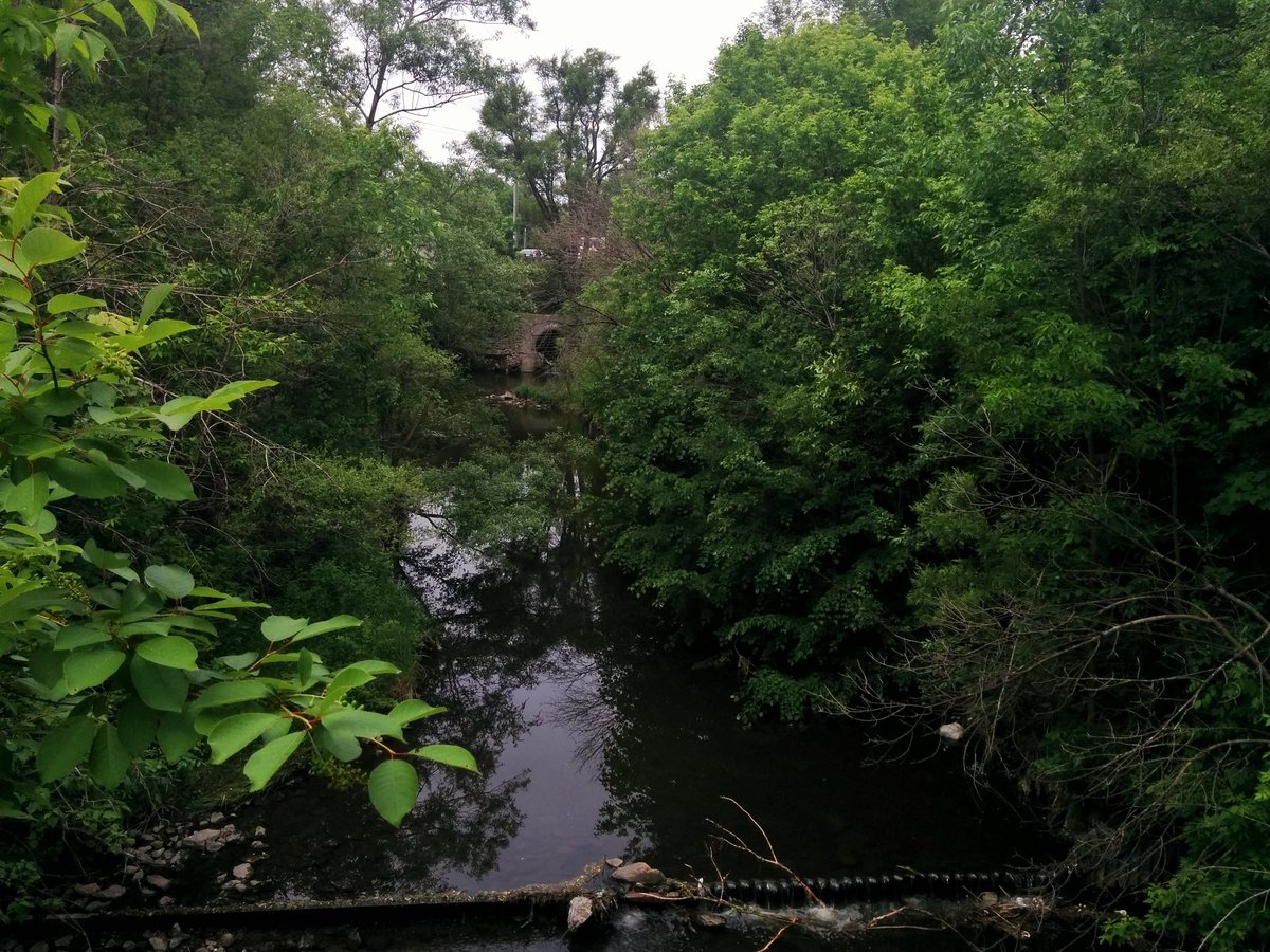
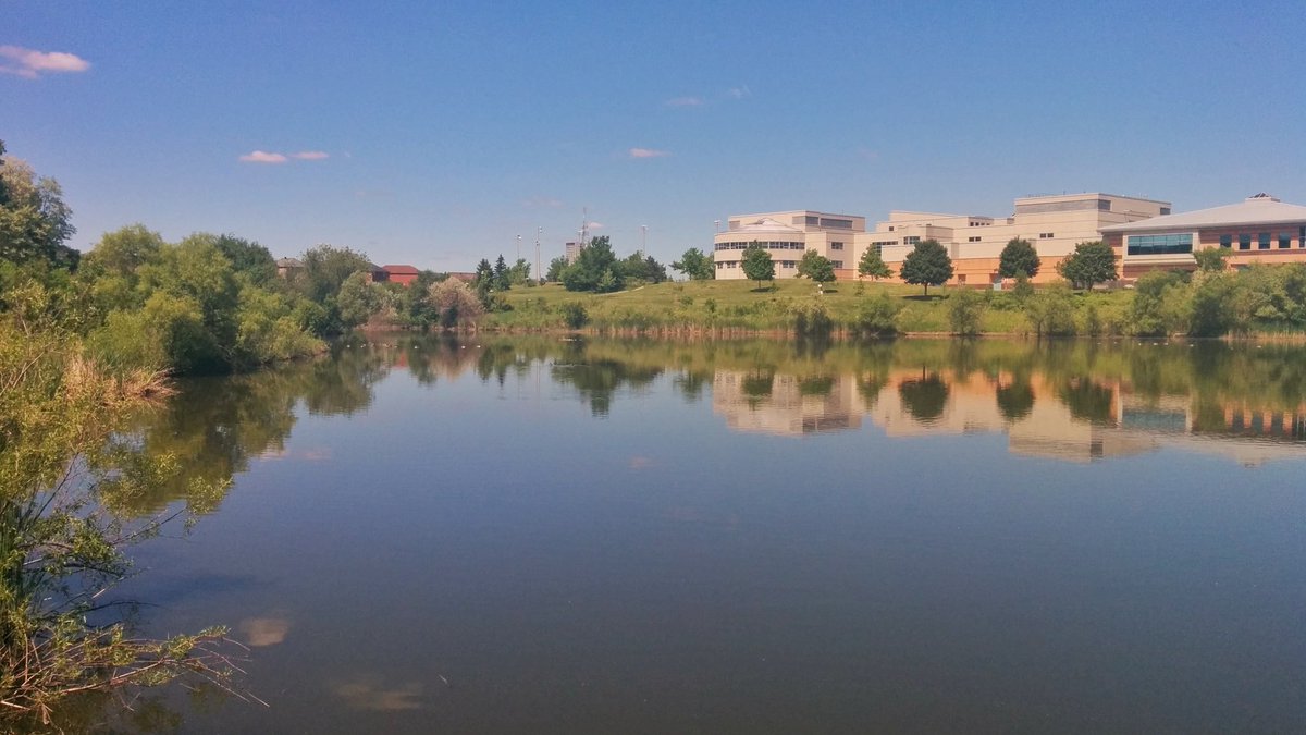
Highland Creek continues through Thomson Memorial Park, where I found the outlet from a lost river, a tributary that goes through Amberdale Ravine. Then we go under McCowan, and through Birkdale Ravine to Scarborough Centre.


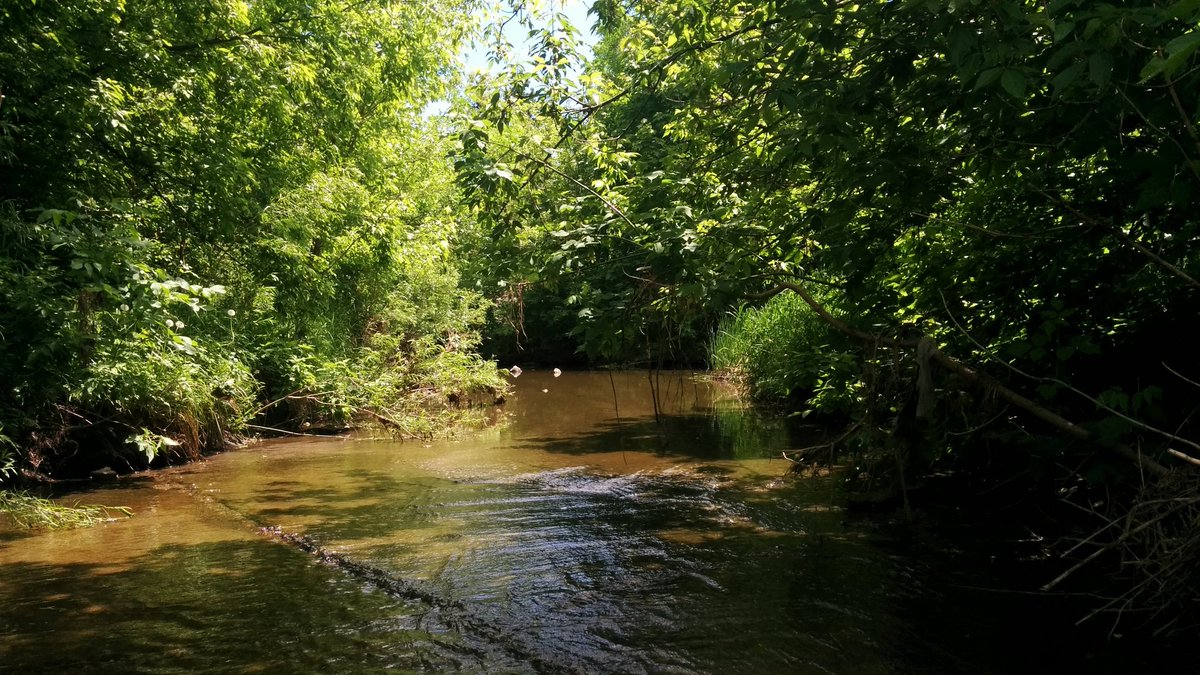
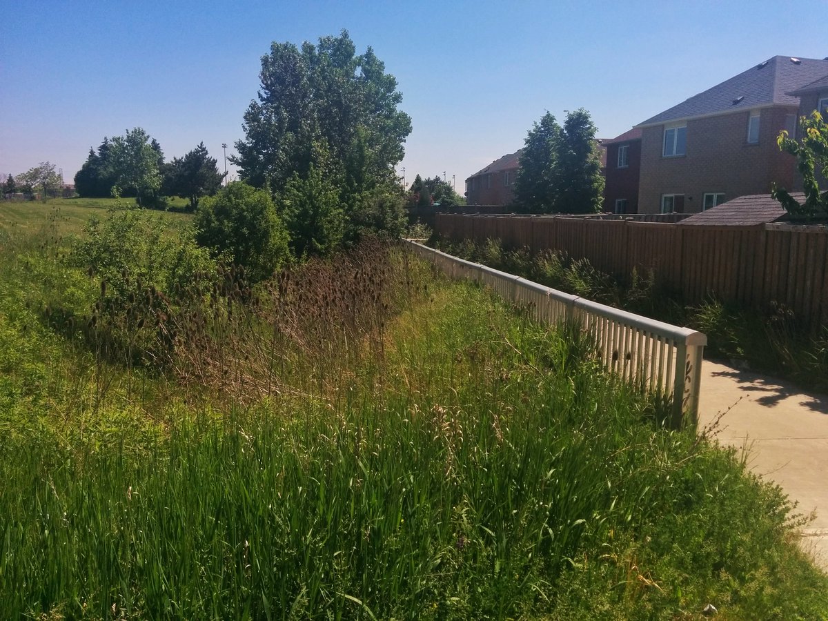
Ended up going backwards without realizing it until almost reaching Brimley again. Going the right way, I now reach Ellesmere. Highland Creek is overgrown, and then fenced off near TTC Line 3. Going around.
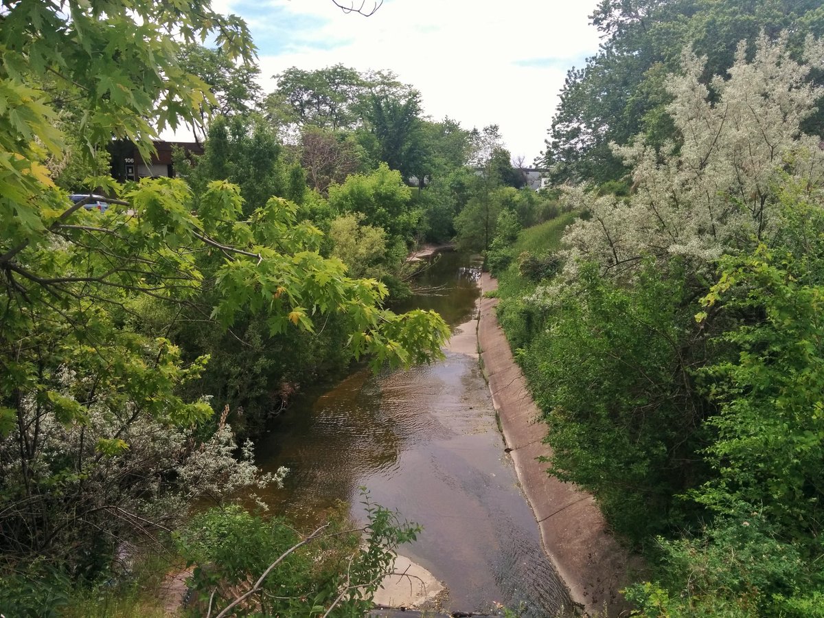
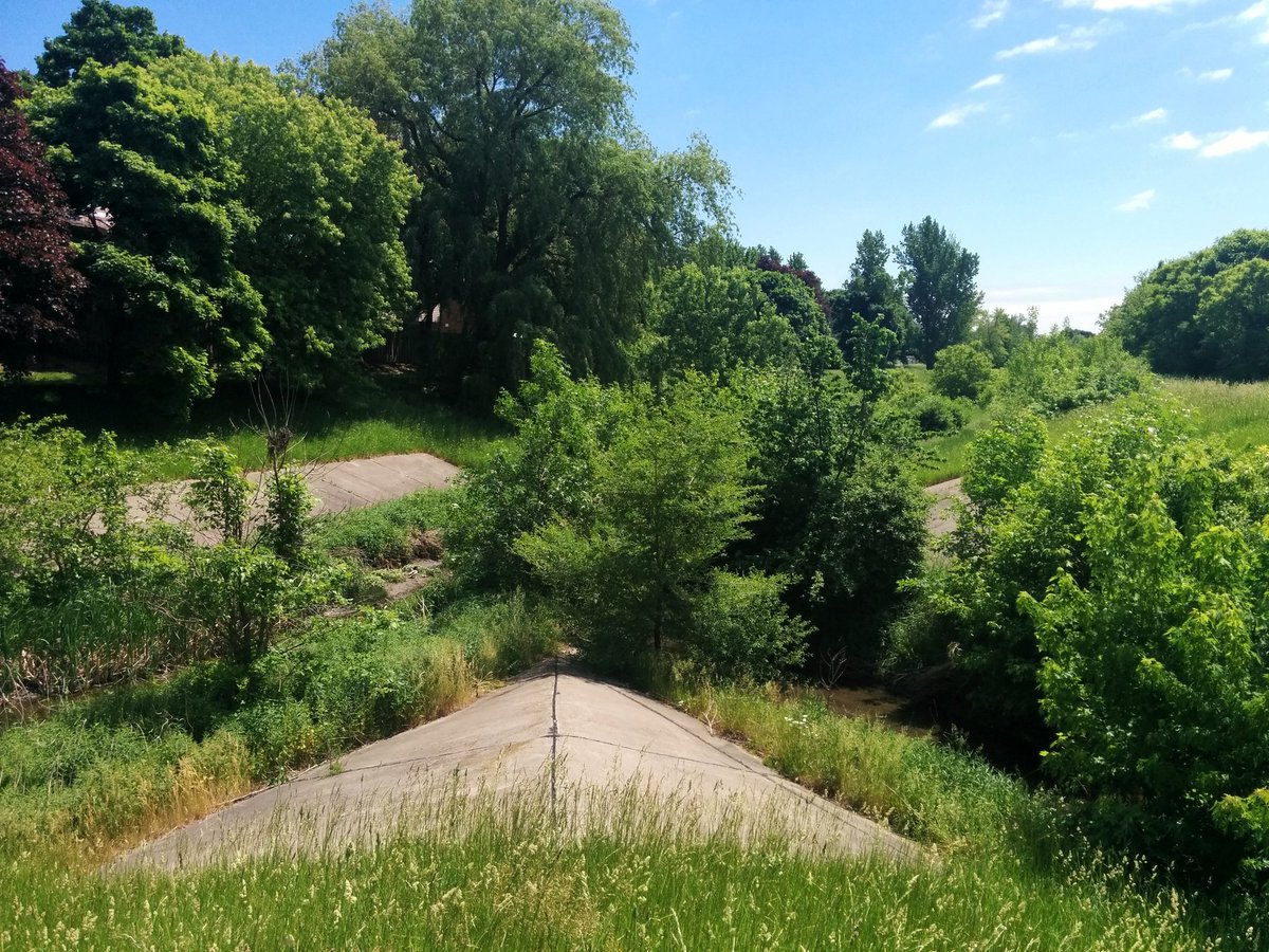
It’s always a shame to see what appears to be city property fenced off and unused, especially when it prevents the establishment of a trail, especially when it parallels a creek. Nonetheless I got to walk in the concrete channel northwest for some time.


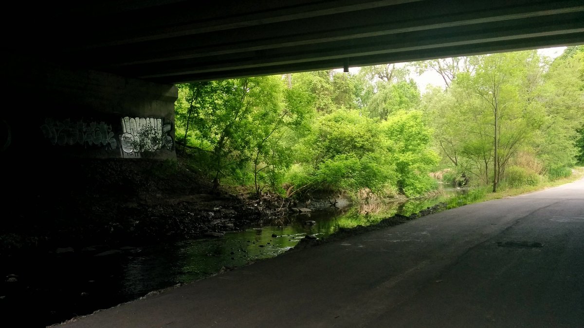
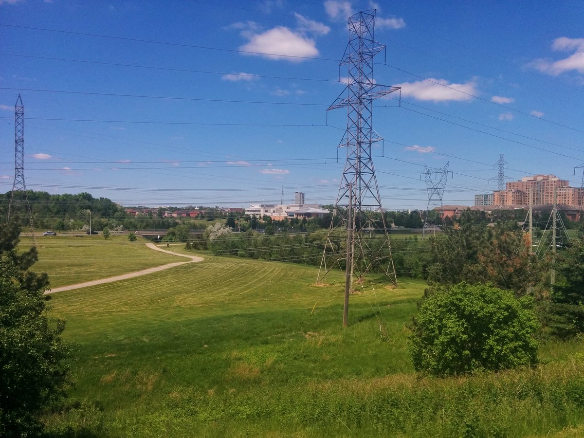
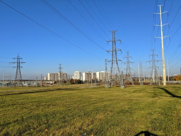
After diverting around a factory, you can follow Highland Creek through the back of industrial/commercial parks, except under the 401.

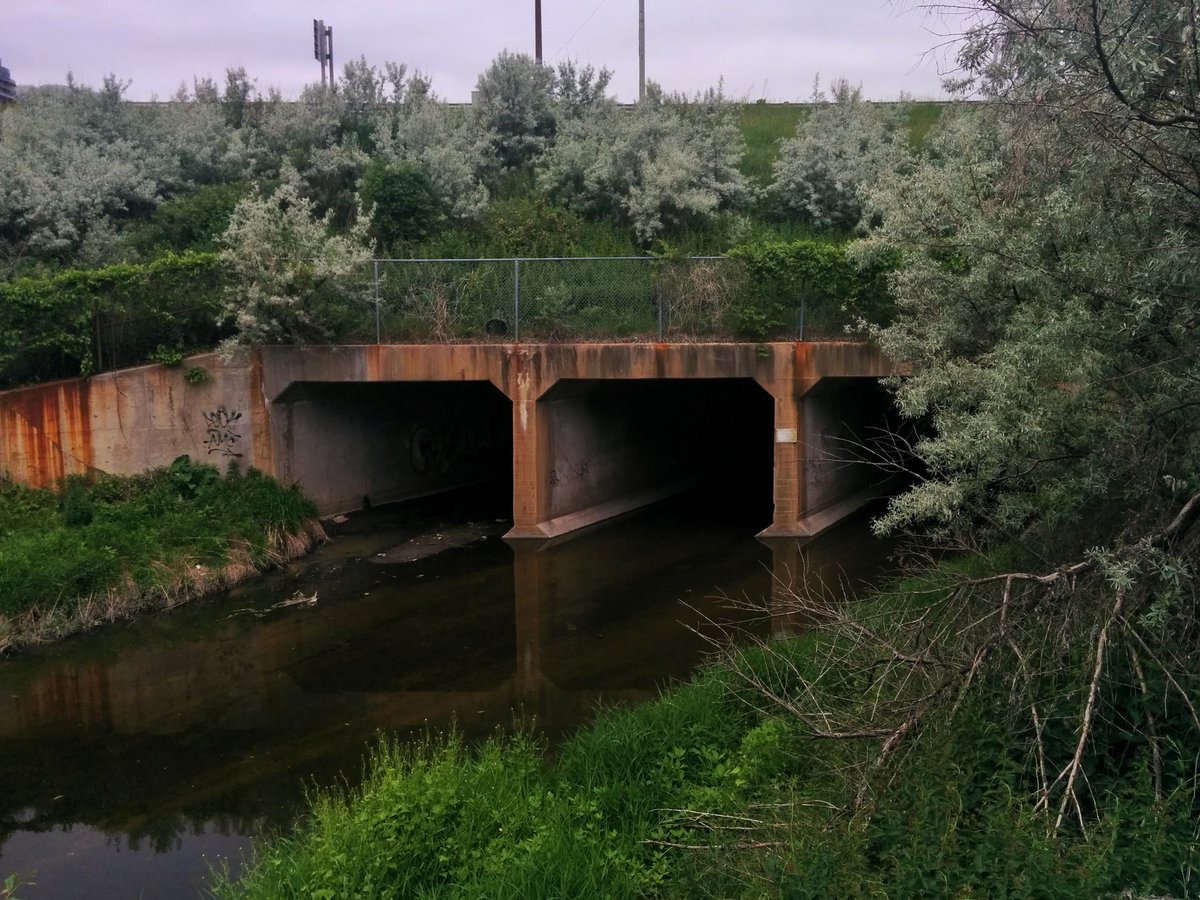

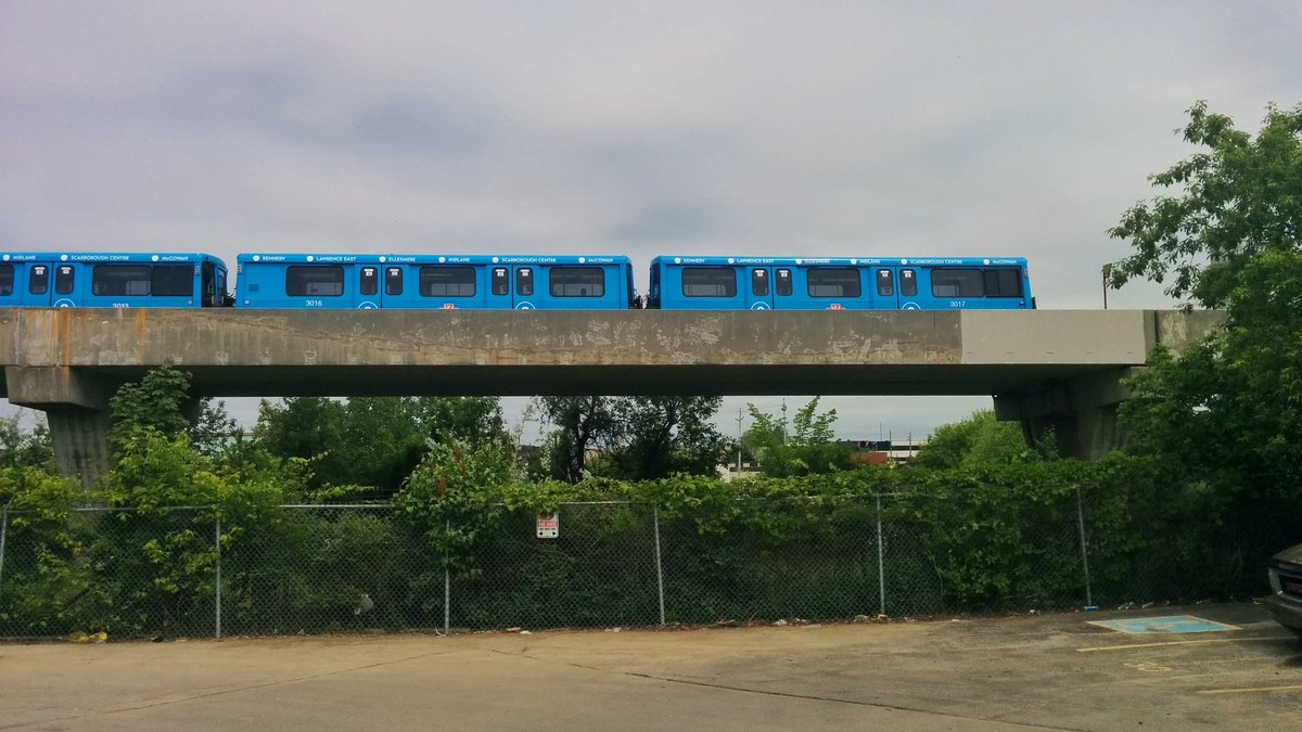
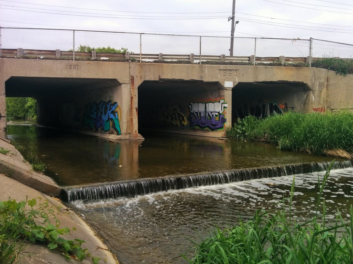
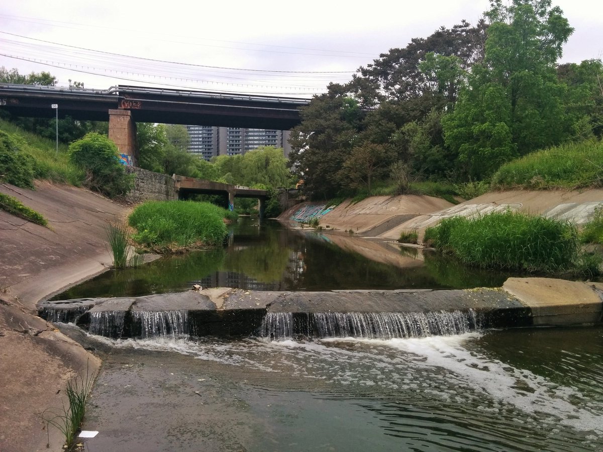
Probably one of the coolest crossings in Toronto: the Canadian Pacific railway, over the GO Transit Stouffville line, over Highland Creek. The latter then continues in a concrete channel northwest under Sheppard and Kennedy.

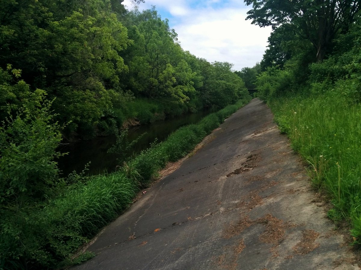
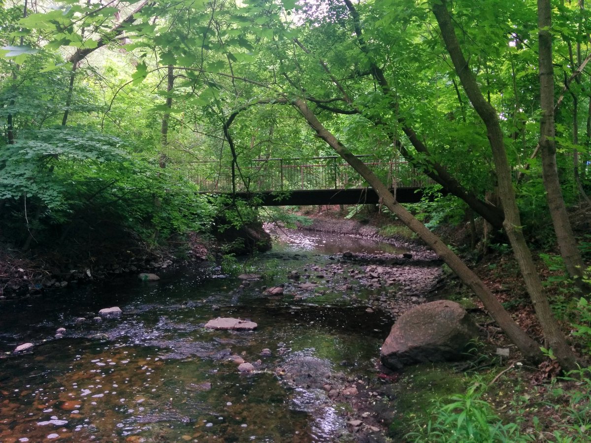
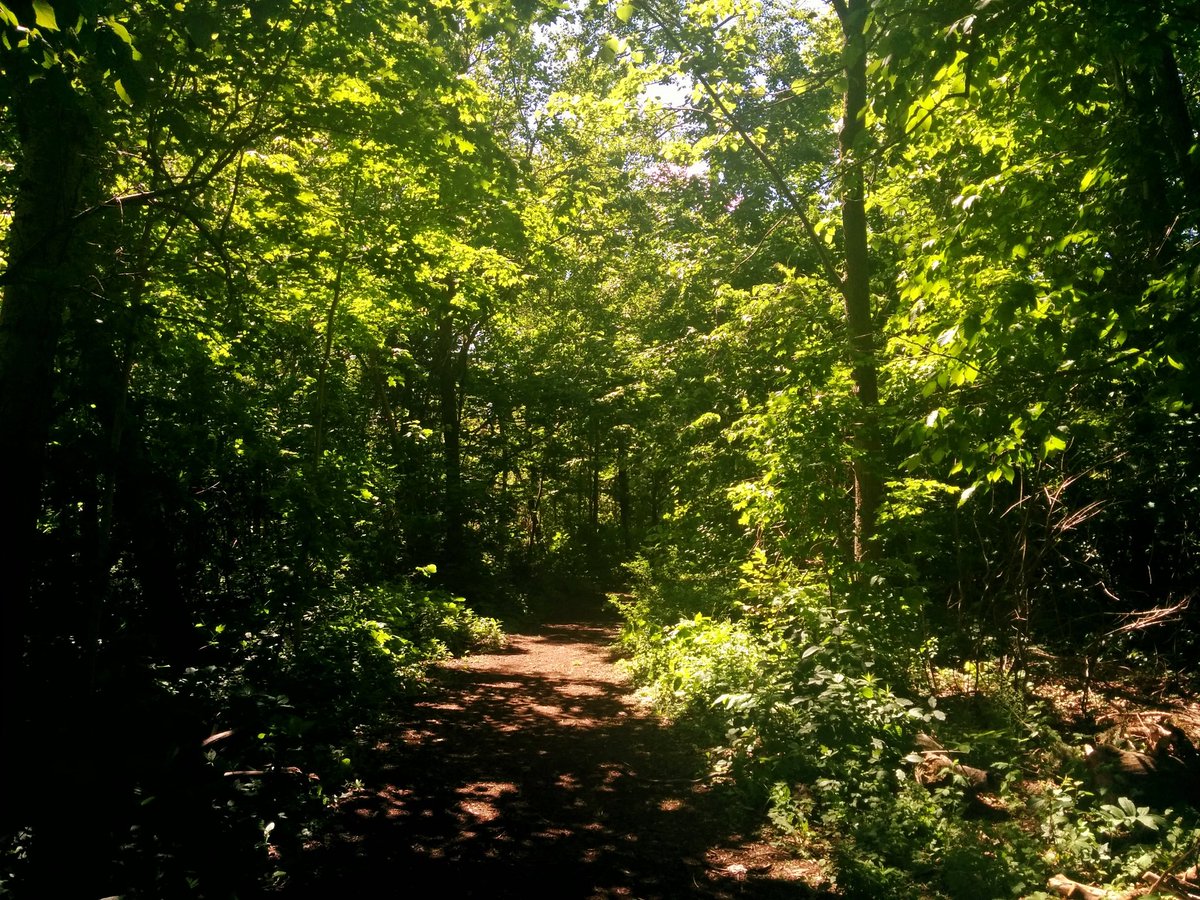
West of Kennedy, formal trails resume. West Highland is flanked by Tam O’Shanter Golf Course until it retreats right into it. You link back up west of Birchmount.


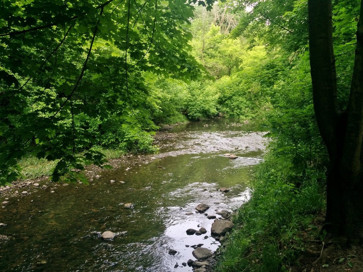
North of Huntingwood, two tributaries. I don’t believe they have names, but they both branch off to the northwest.


L’Amoreaux South. Known for its sports fields. Maybe less known for its playful ravine.


L’Amoreaux North. Probably known for its ponds. These are the headwaters of West Highland Creek, and while they have been modified, at least they are intact all the way to here. It’s more than you can say about some other Toronto creeks.


Looped back to try and find the west side of the main headwater fork, but it’s hard to discern anything.

Date: June 2, 2018
Length: 18.1 km
Type: Riverine
Related Walks

West Highland continued downstream, and the Dorset Branch continued upstream
West Highland II
Intersecting hydro corridor continued southwest
East Don and West Meadoway

Intersecting hydro corridor continued northeast
Meadoway East
Intersecting hydro corridor at the headwaters
Finch Hydro II