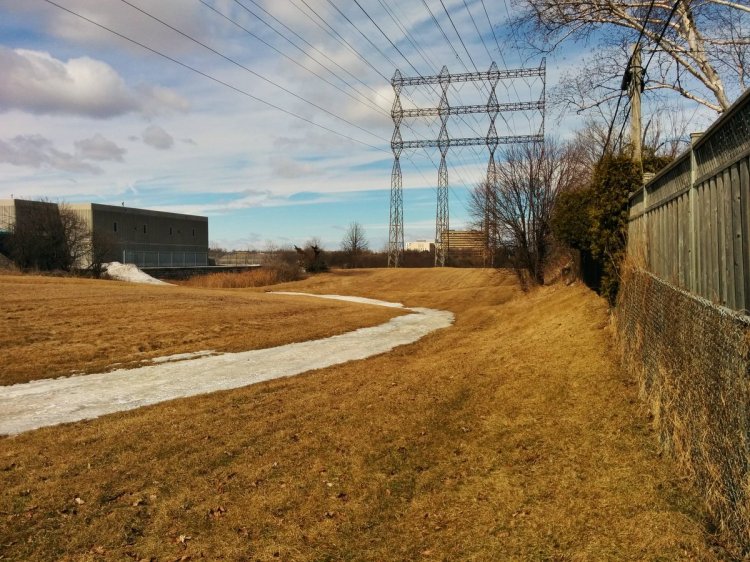
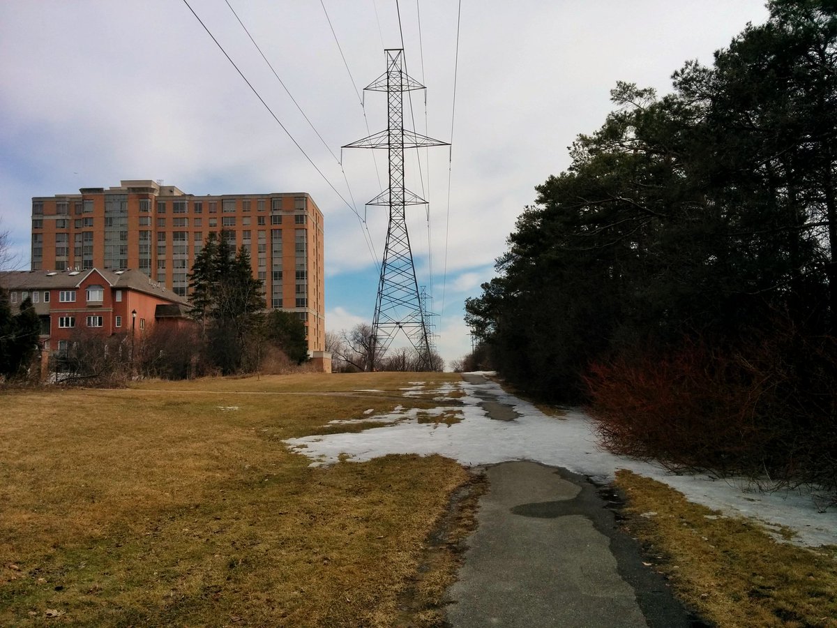
It’s a great day for a walk. Following the Finch Hydro Corridor east from the East Don River today. Let’s go.


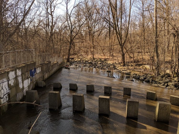
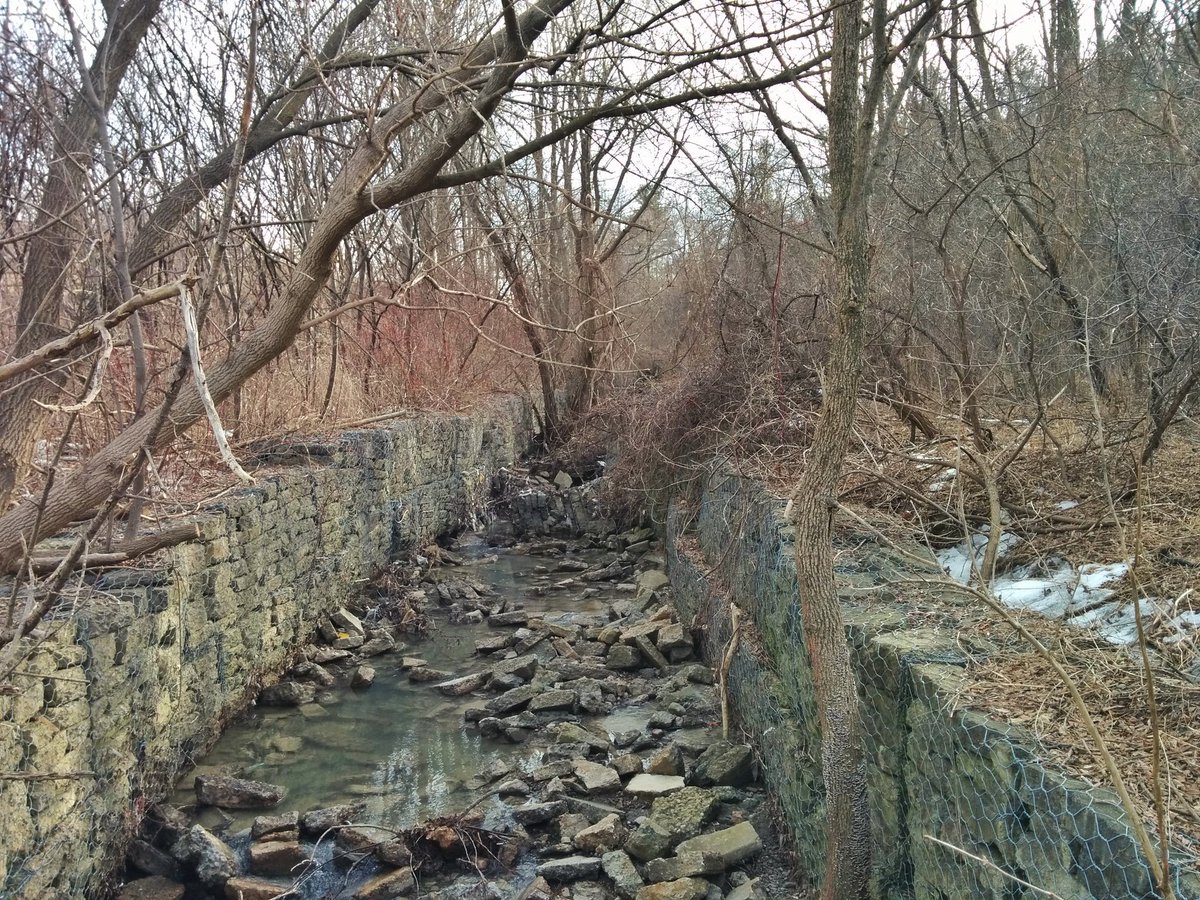
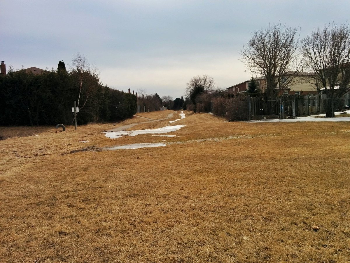
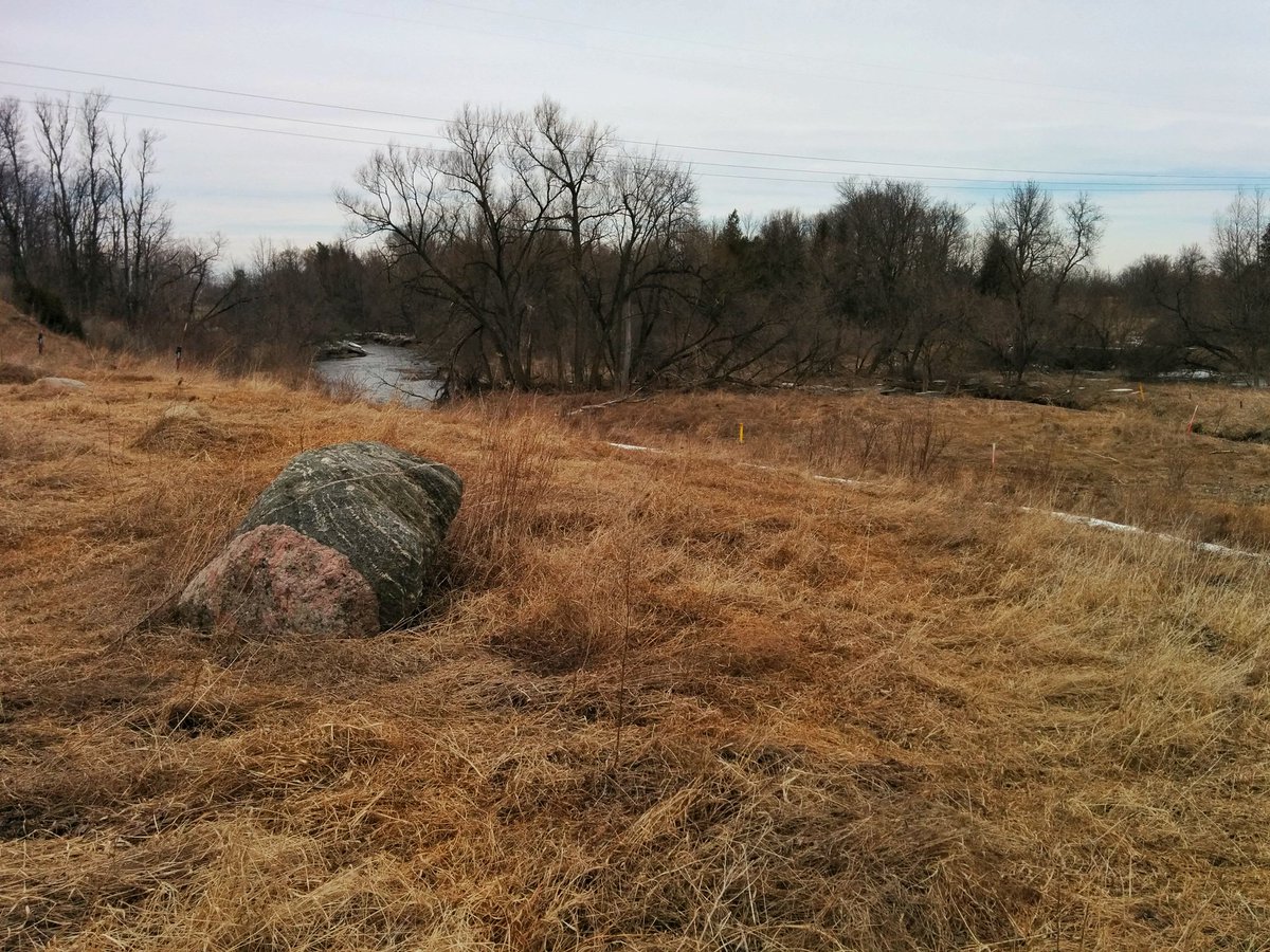
Up the East Don to the corridor. There’s an existing trail at this segment. I think I also discovered a lost river already.


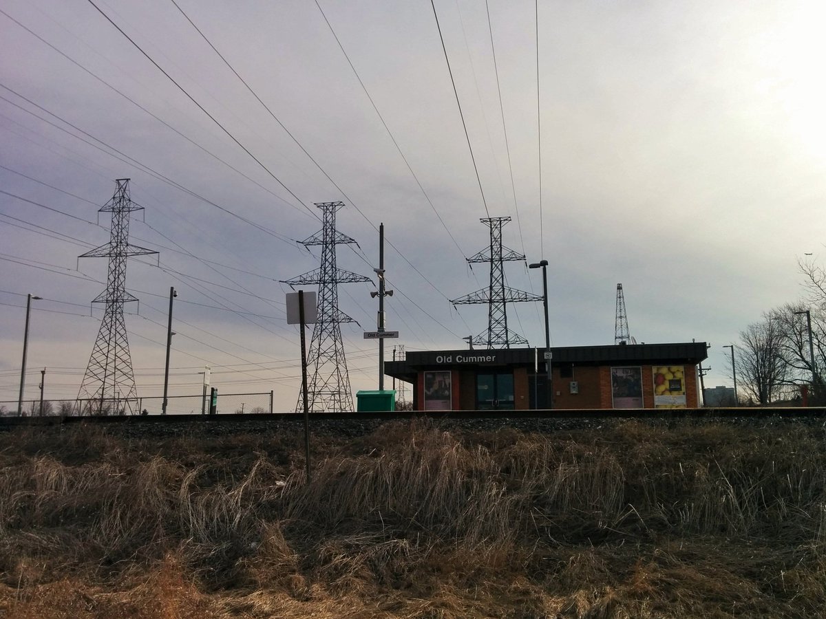
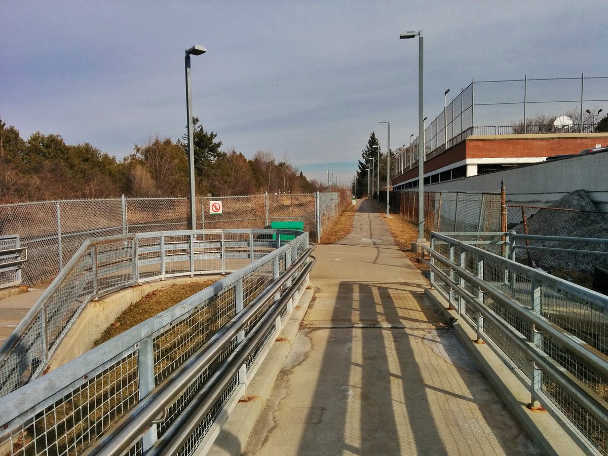
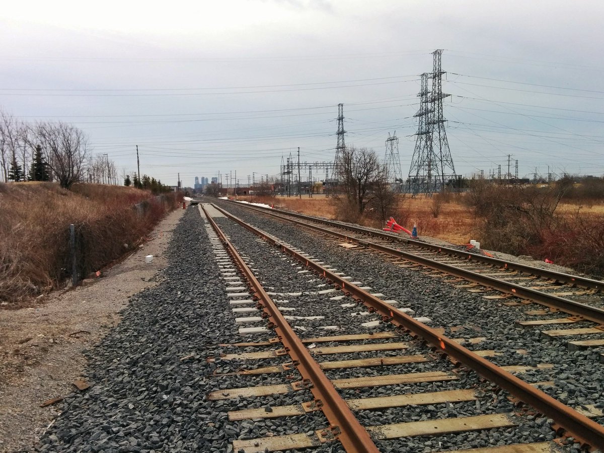
Already hitting my first detour: the GO Richmond Hill line. Basically went in a big circle. It’s really too bad, many GO stations have a tunnel or bridge, which wouldn’t make this a problem. But this is the least used line, hardly a priority.


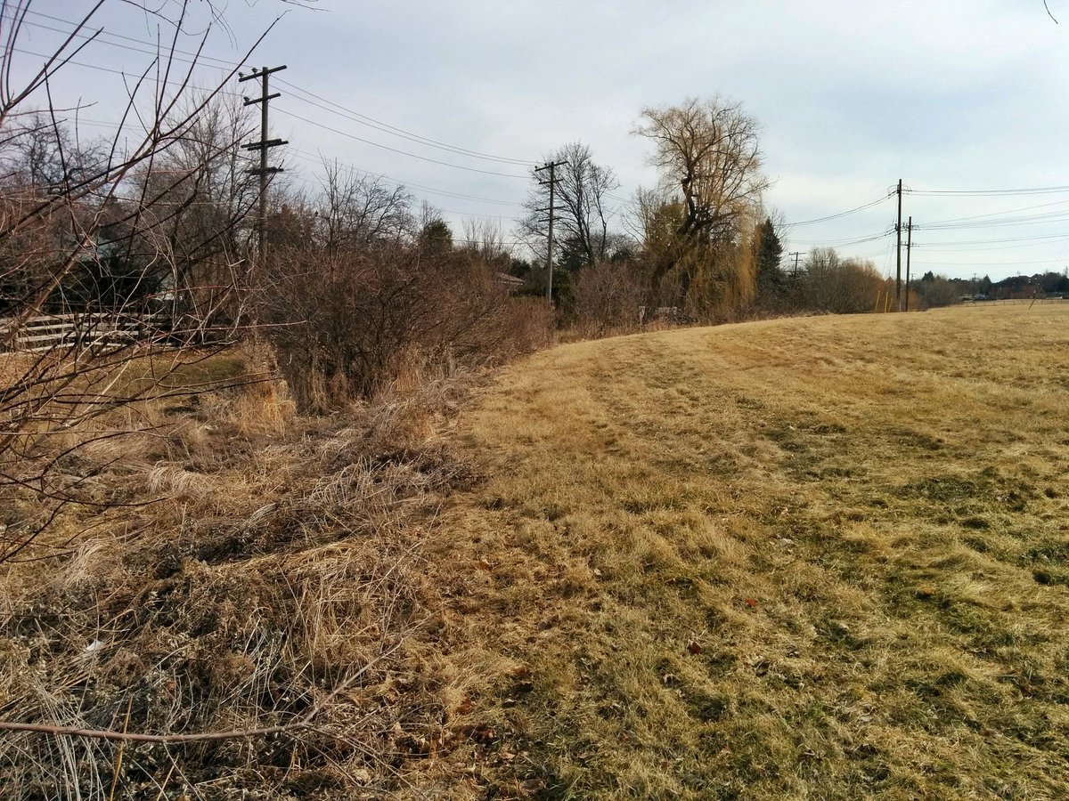
That tributary of the East Don I spotted earlier isn’t completely lost. A seemingly needless fencing off of an intersecting trail. Nice view to the west.


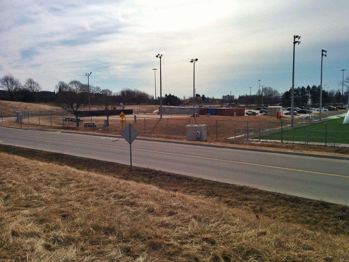
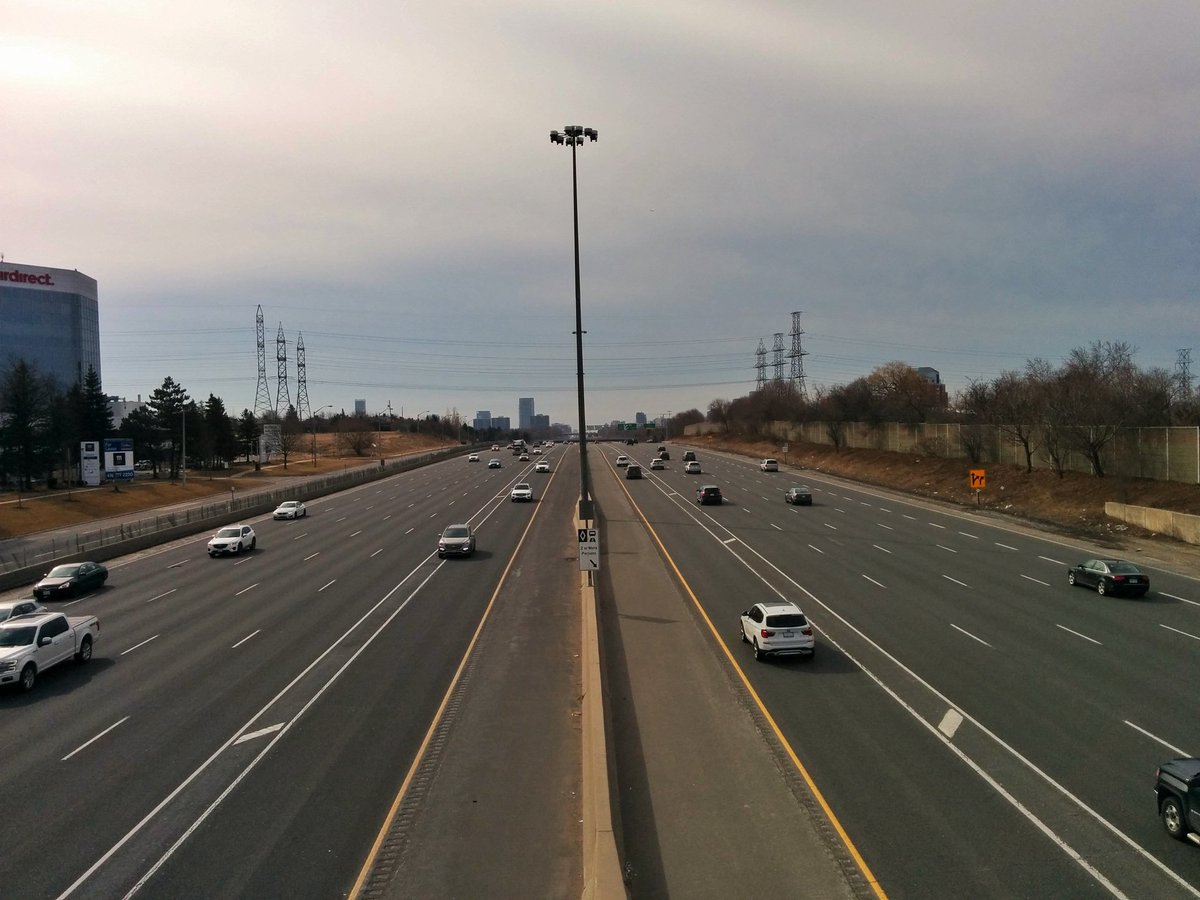
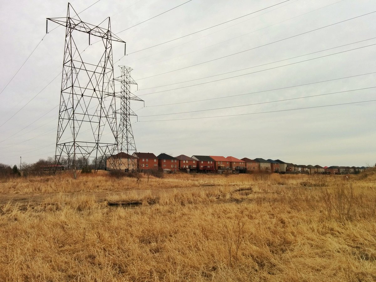
Seneca College, transforming a grass corridor into parking lots. At a certain point, there isn’t even a bloody sidewalk. Eventually leads to the second major barrier: the 404.


Luckily the 404 isn’t making me backtrack like the Richmond Hill line. Some unused MTO lands and a service road make it direct, at least if you have hikers on.


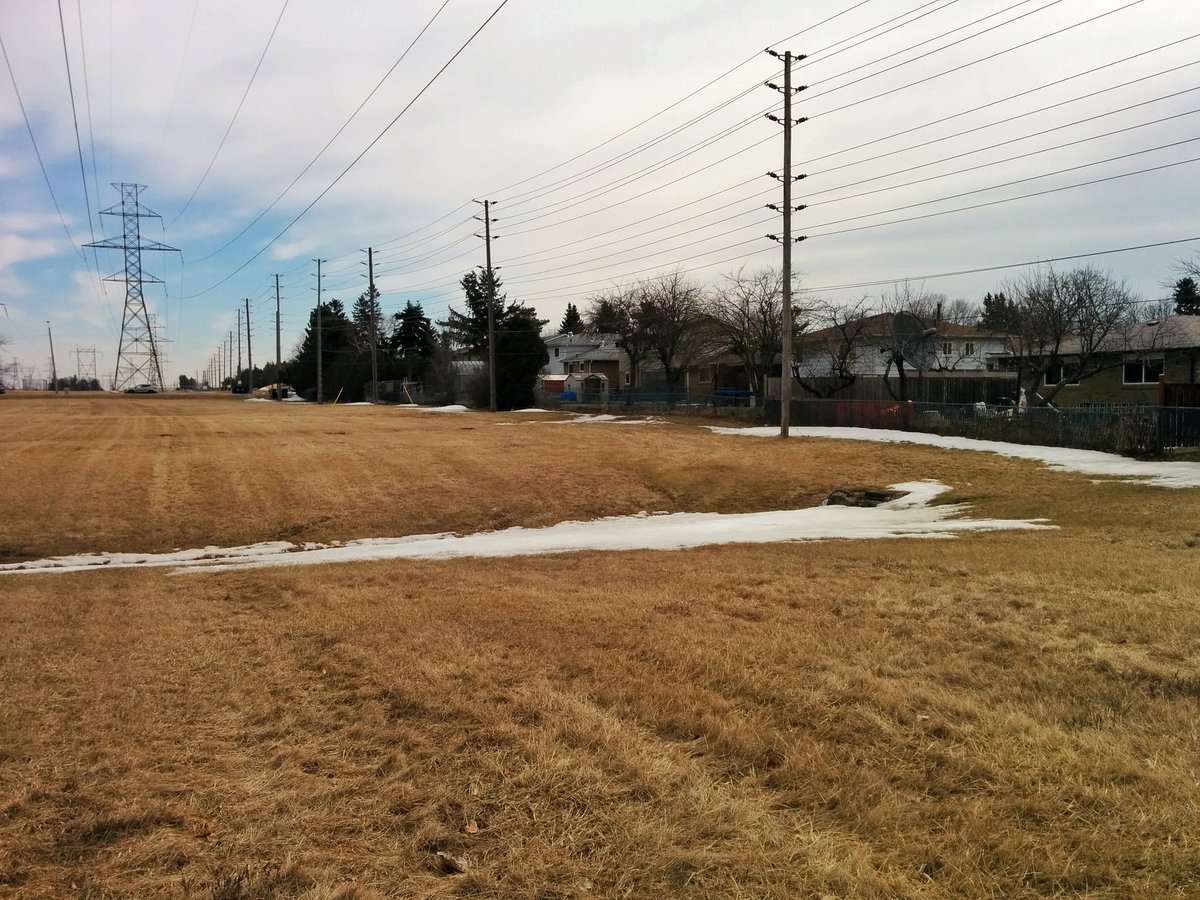
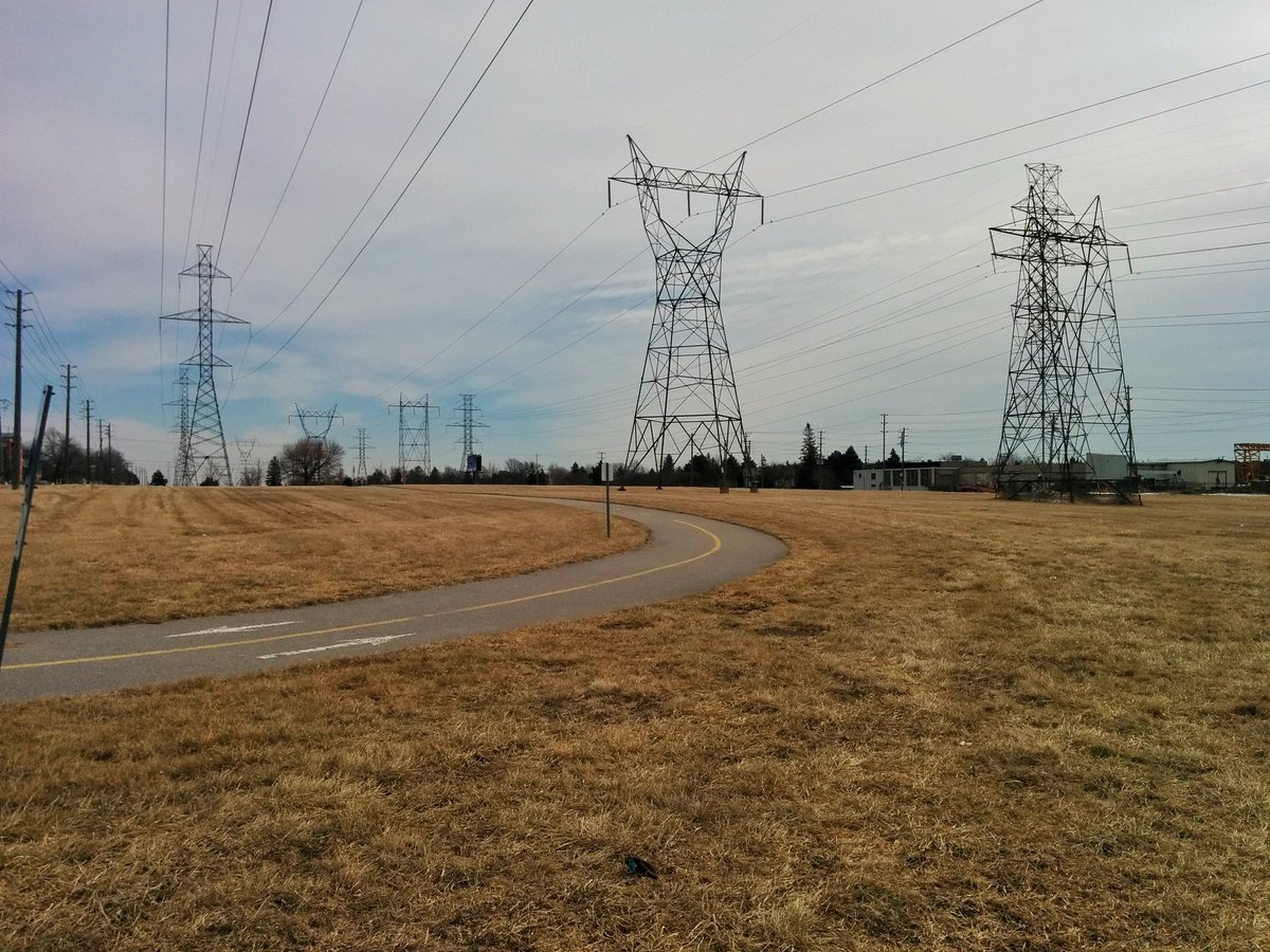
Corridor continues east. Intersects the Warden Corridor. A former hydro corridor to the south, but maintained for a pipeline. Still a hydro corridor to the north.


Lots of little drainage ditches, makes it clear how this is a headwater area for branches of Highland Creek. Eventually, you get to a big Kahuna: the main branch of West Highland Creek.


A formal trail reappears, not too long before the third major barrier: the GO Stouffville line. It’s currently being double-tracked, apparently eliminating the trail detour wasn’t in the scope of work. Missed opportunity.

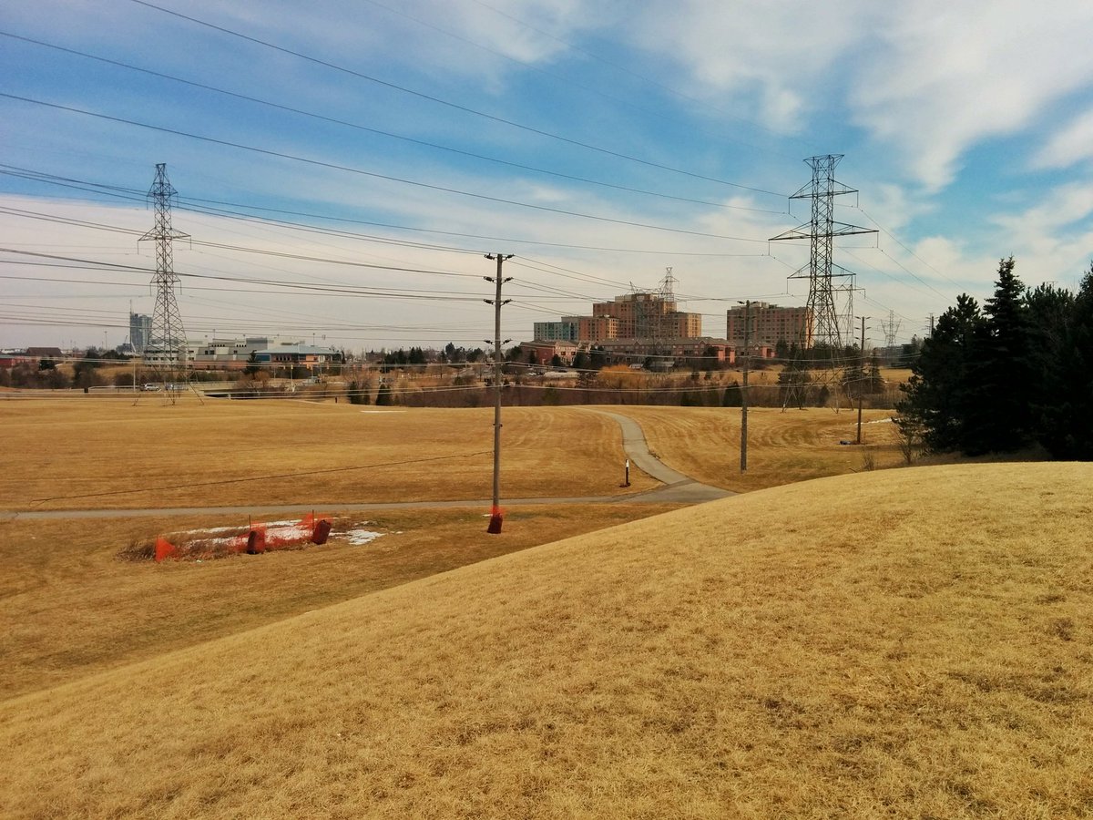
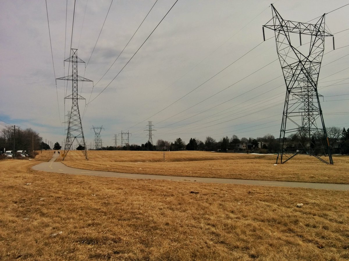
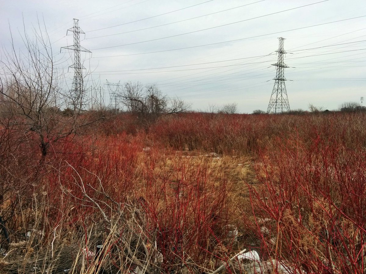
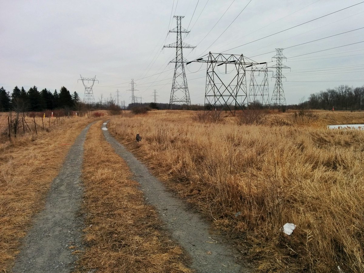
Trail continues, it zigzags a lot. Corridor has widened from 3 to 4 towers. Past the East Highland Creek East Branch (such original, very identified, wow).


This part of the corridor is kinda like driving west along rural roads into the prairies. Things get long and relatively flat, there ain’t many people around. Highlights: the Malvern Branch of East Highland Creek and an unnamed tributary of it.


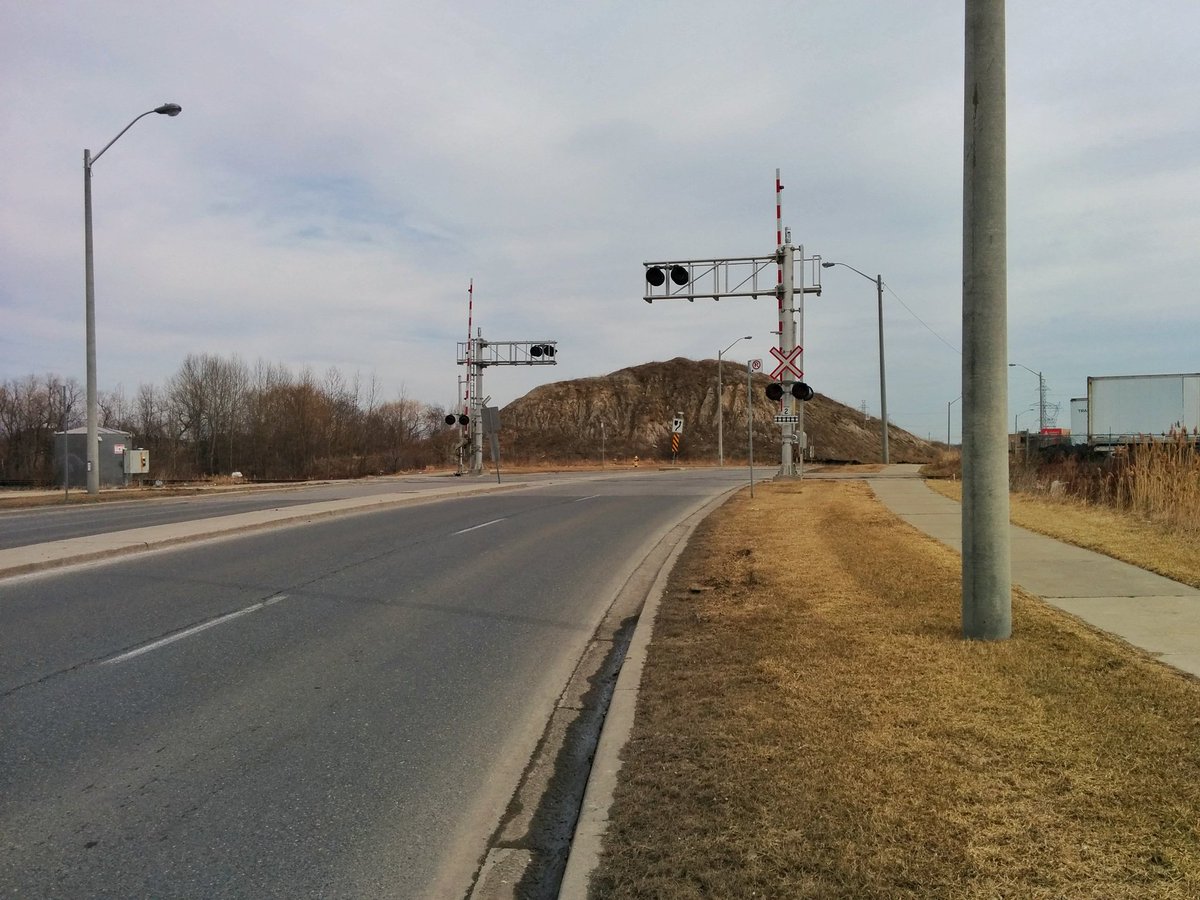
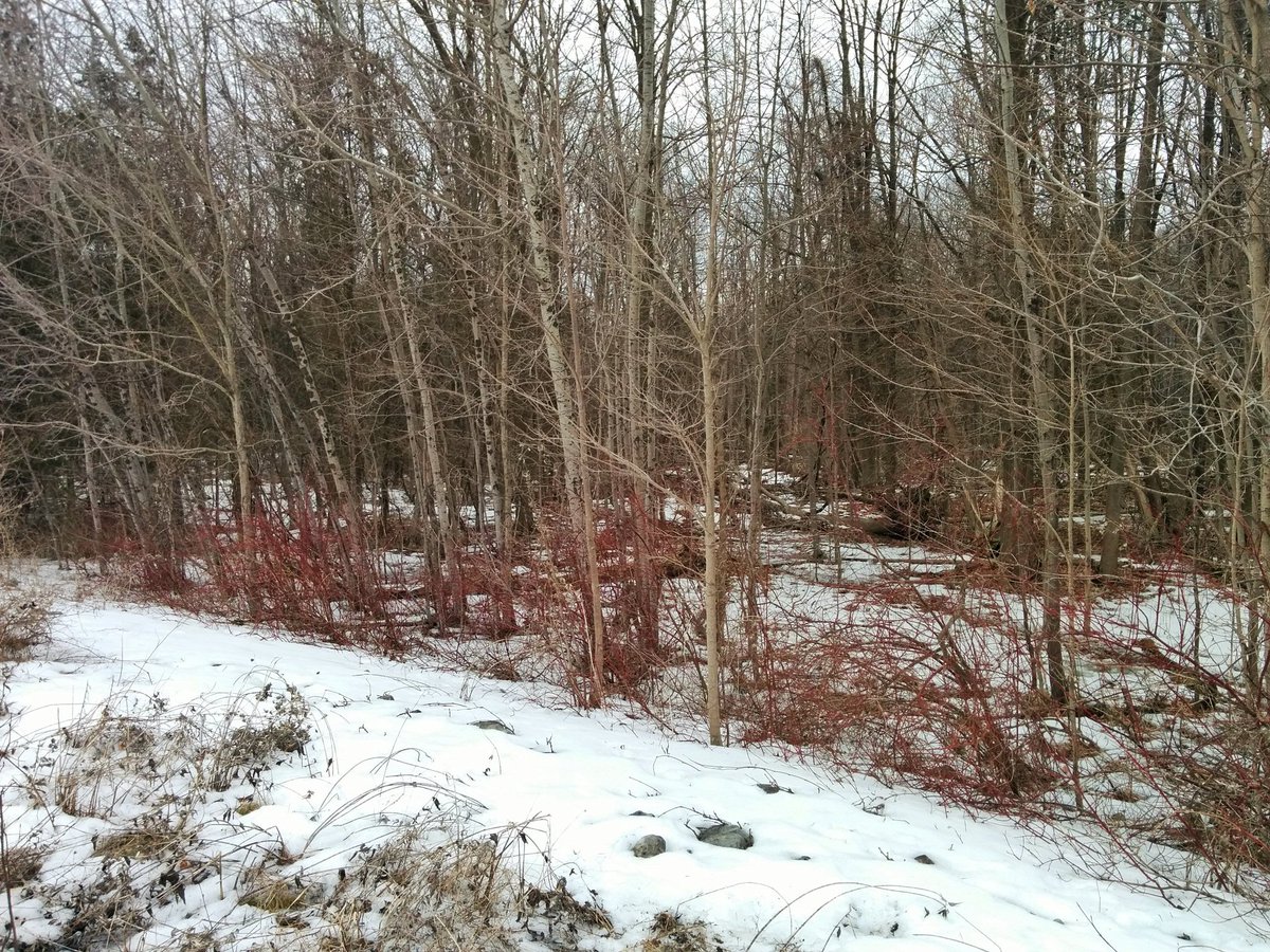
The fourth barrier is a Canadian Pacific mainline that goes out to Peterborough and Havelock. Navigating around takes you past McNicoll Mountain and a marshy portion of the corridor. Past Morningside, it’s back to prairie grass.


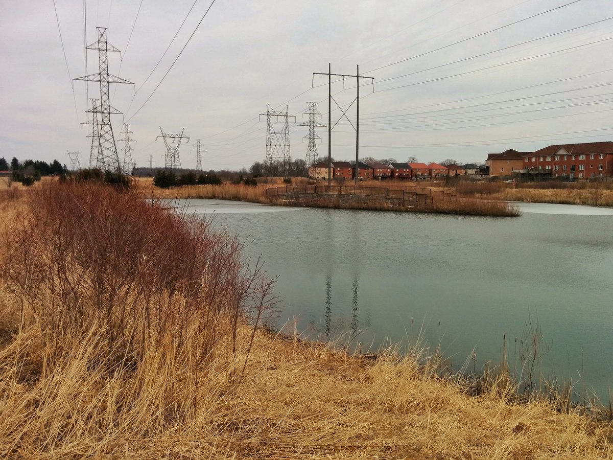
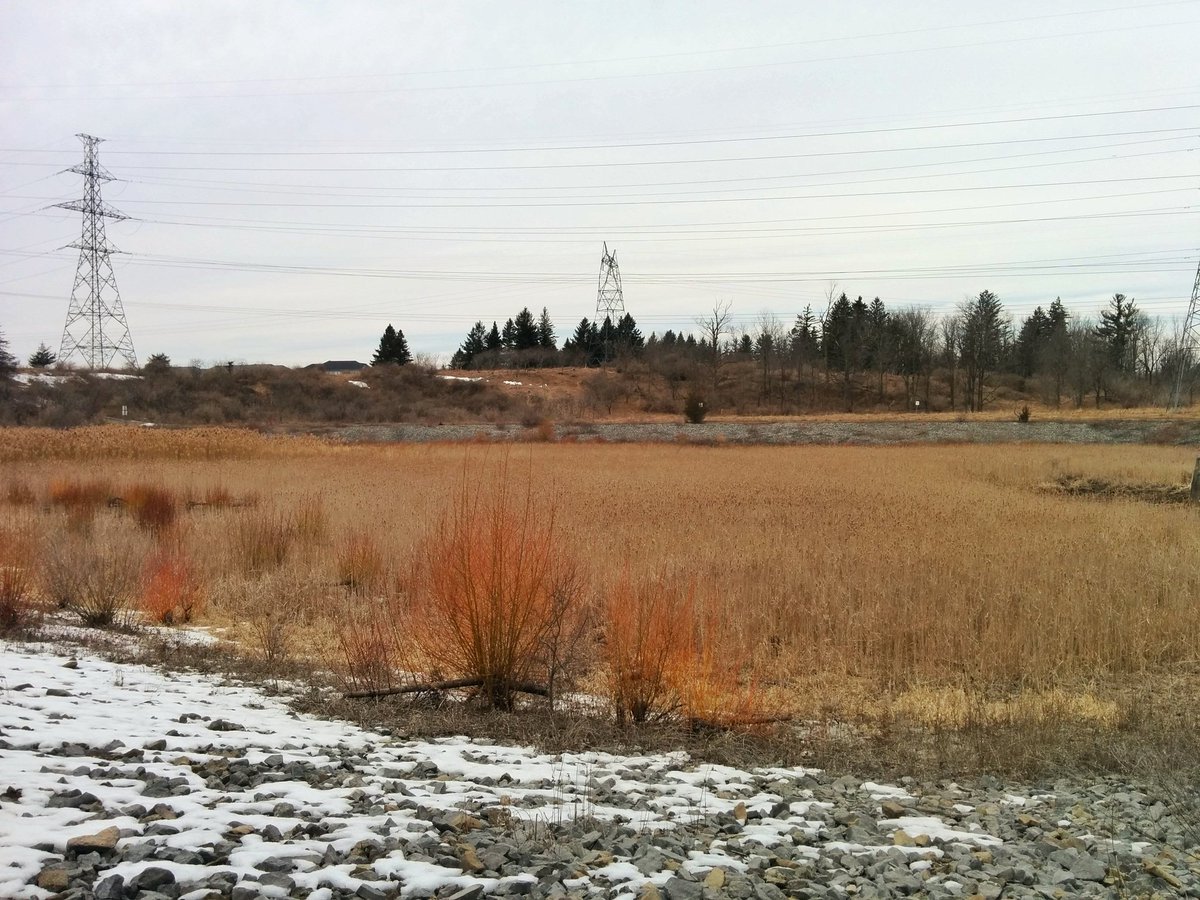
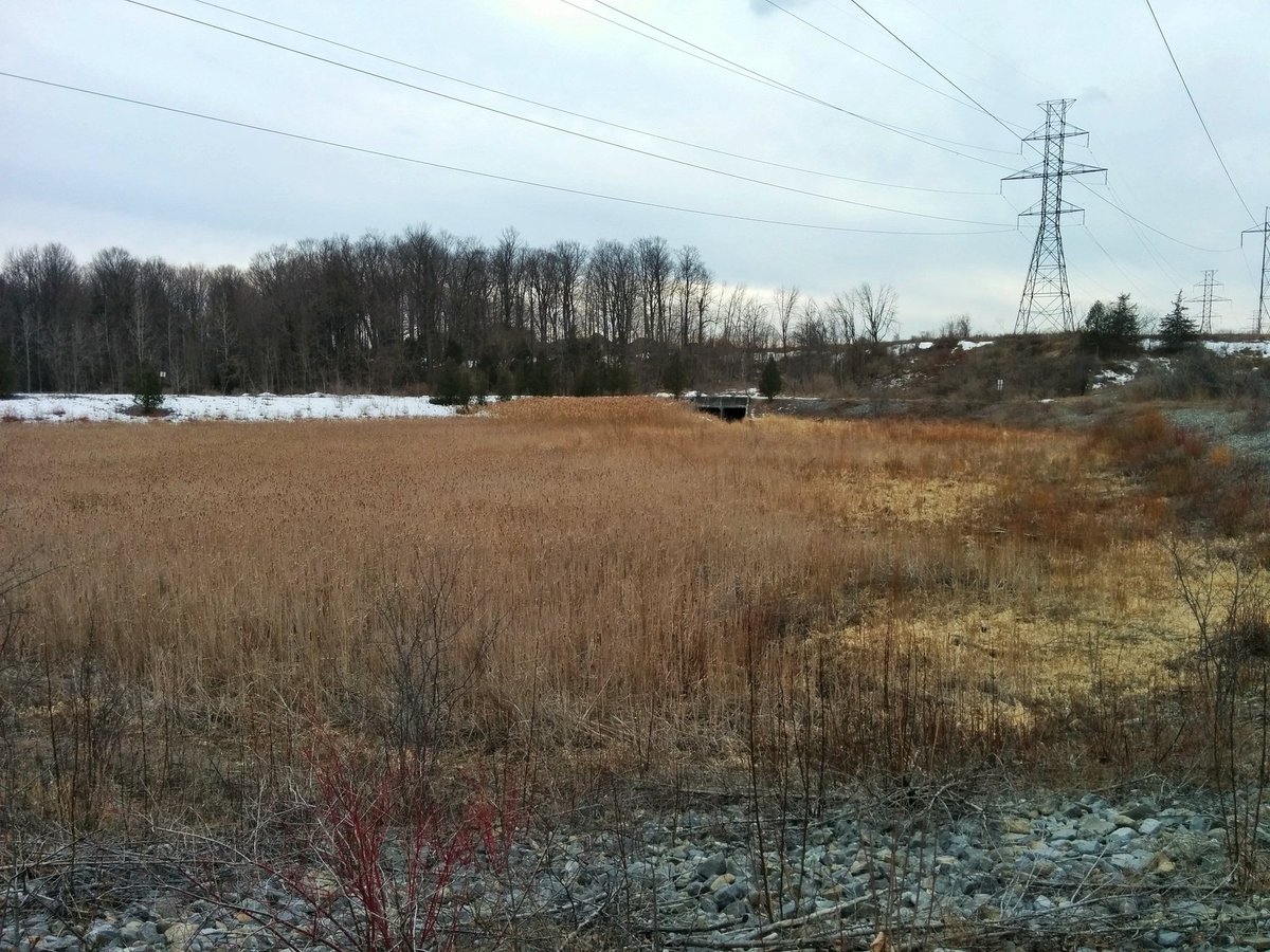
Fifth barrier is hard to hate, and doesn’t cause a huge detour: Morningside Creek. Big stormwater pond here too. Excellent meadow habitat here, but no formalized trail. Can’t imagine what it looks like in the summer.


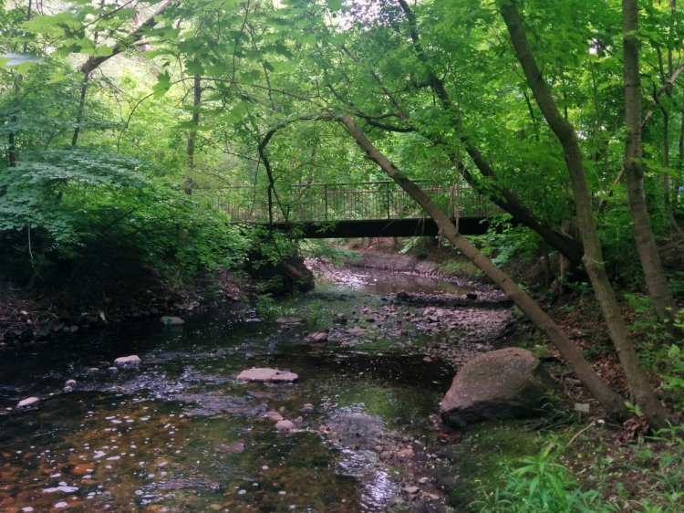
A dirt road brings you down east of Staines to another stormwater pond. Nice little local circuit tucked in the ravine wilderness.

The sixth barrier is a big one, the Rouge River. It’s really too bad, a bridge would make for an access into Rouge National Park. Anyway, this marks the eastern terminus of today’s walk.
Date: March 24, 2019
Length: 19.1 km
Type: Utility

Related Walks

Intersecting river and tributary
East Don IV
Intersecting creek upstream and downstream of the corridor
West Highland I

Intersecting creek (II) downstream of corridor
East Highland III
Intersecting creek (III) downstream of the corridor
East Highland I


Intersecting creek (IV) upstream and downstream of corridor
East Highland II