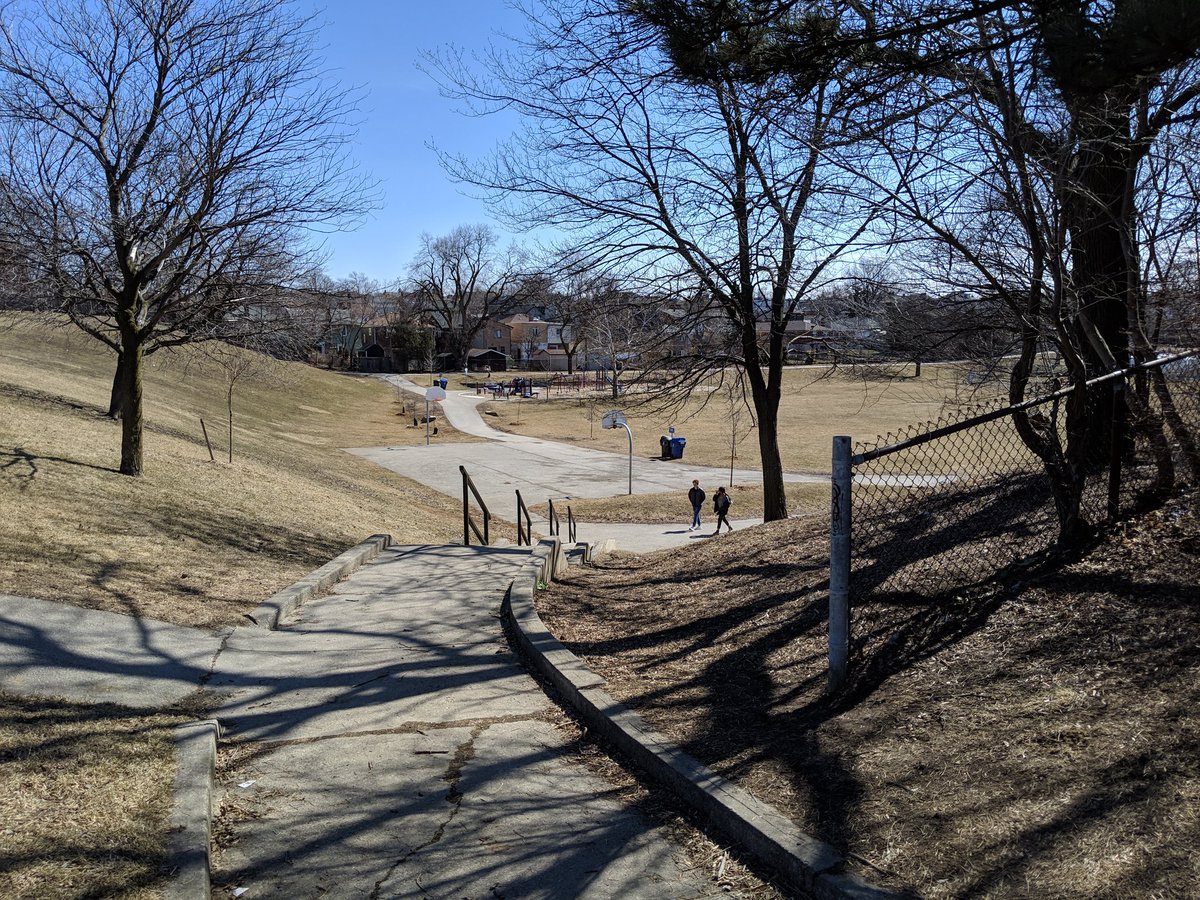
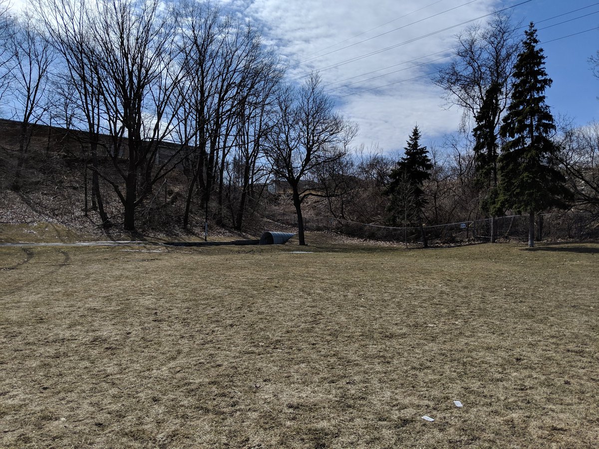
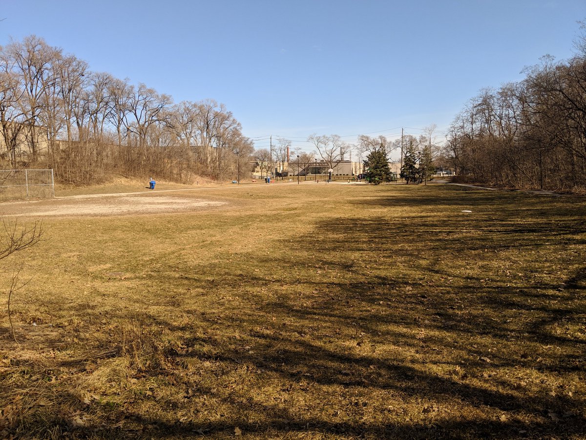
A beautiful day for a walk. Today I’ll be tracing tributaries of Black Creek. Many are lost, but I believe some (at least parts of them) remain. I dunno, we’ll just have to see. Starting point is Fairbank Memorial Park, the headwater of Lavender Creek. Let’s go.
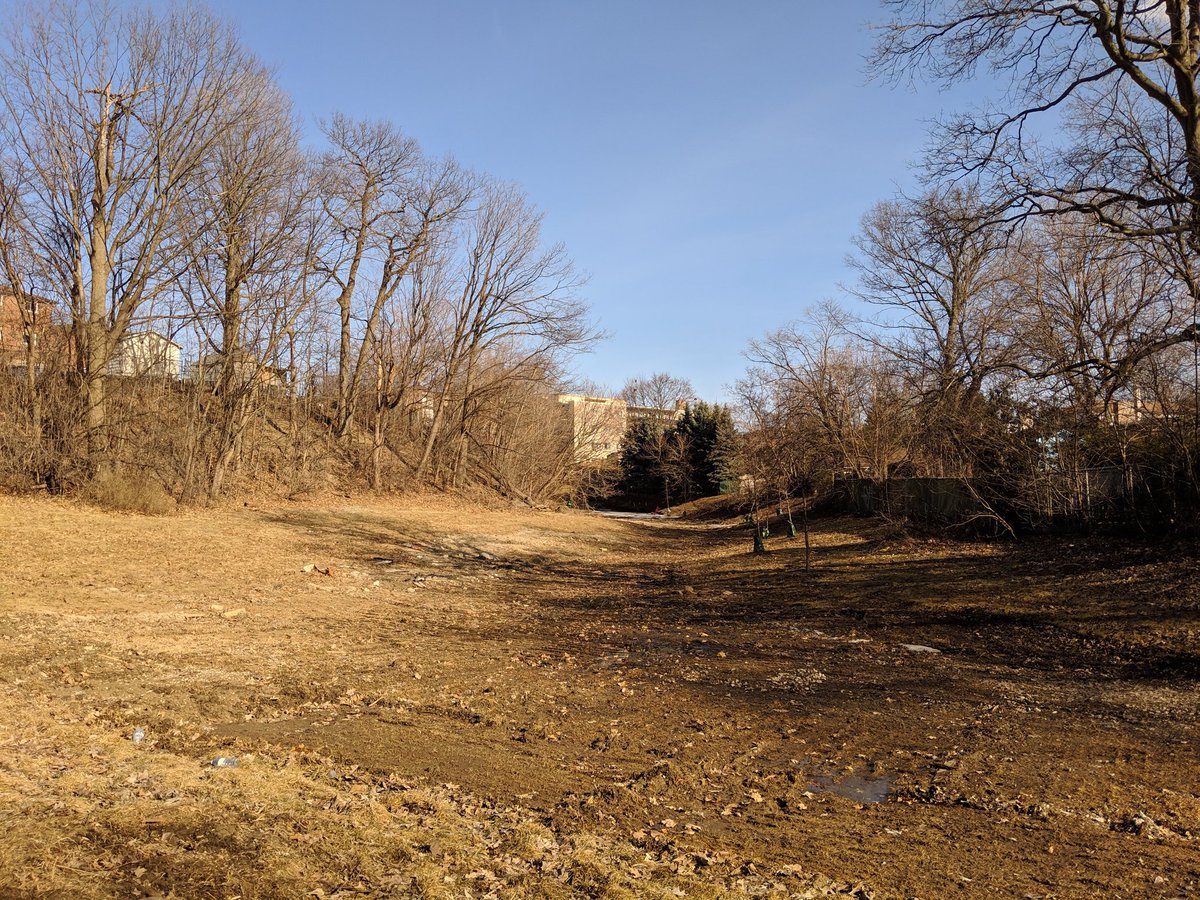
Lavender Creek is in, and is the result of, a very hilly part of the city built over a series of drumlins. When I say built, I mean developed to the gills. No sign of the creek, long gone.


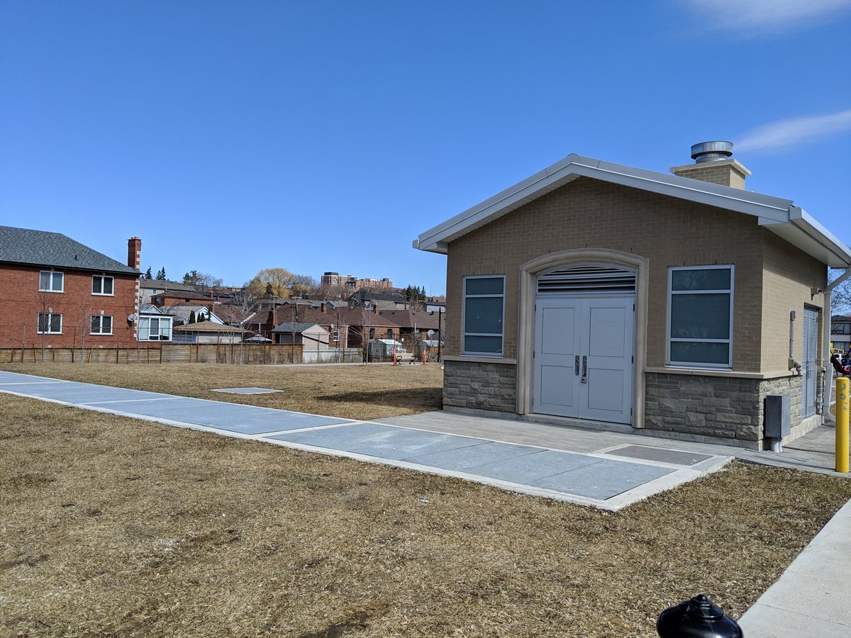
A drainage ditch and pumphouse in Charles Caccia Park. Sewers and leftover patches of ice in Prospect Cemetery. Only hints I got at the lost creek.


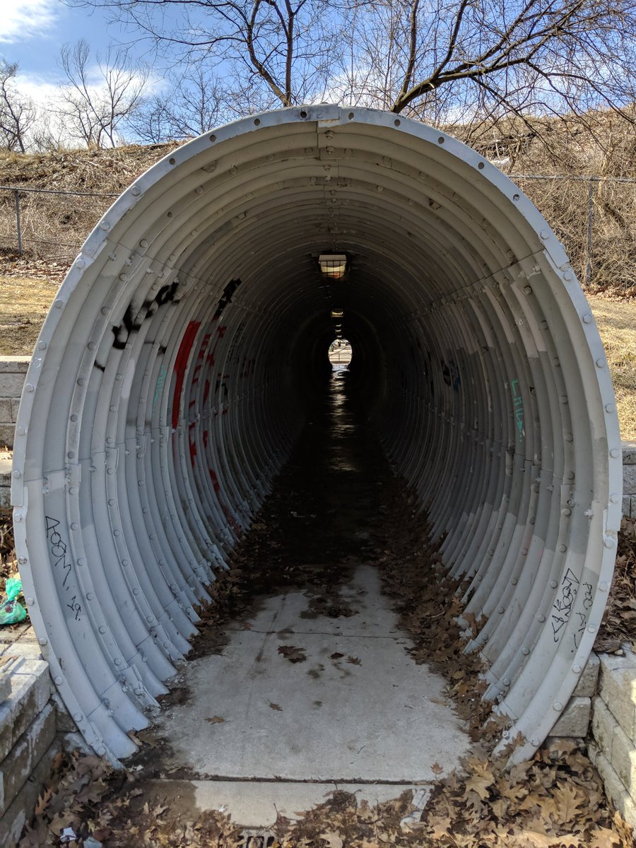
There’s an interesting pedestrian underpass at Bert Robinson Park, underneath the GO Barrie line. It seems like it could have been a culvert for Lavender Creek at one time. But given how long ago the area was developed, I can’t be too confident it is.


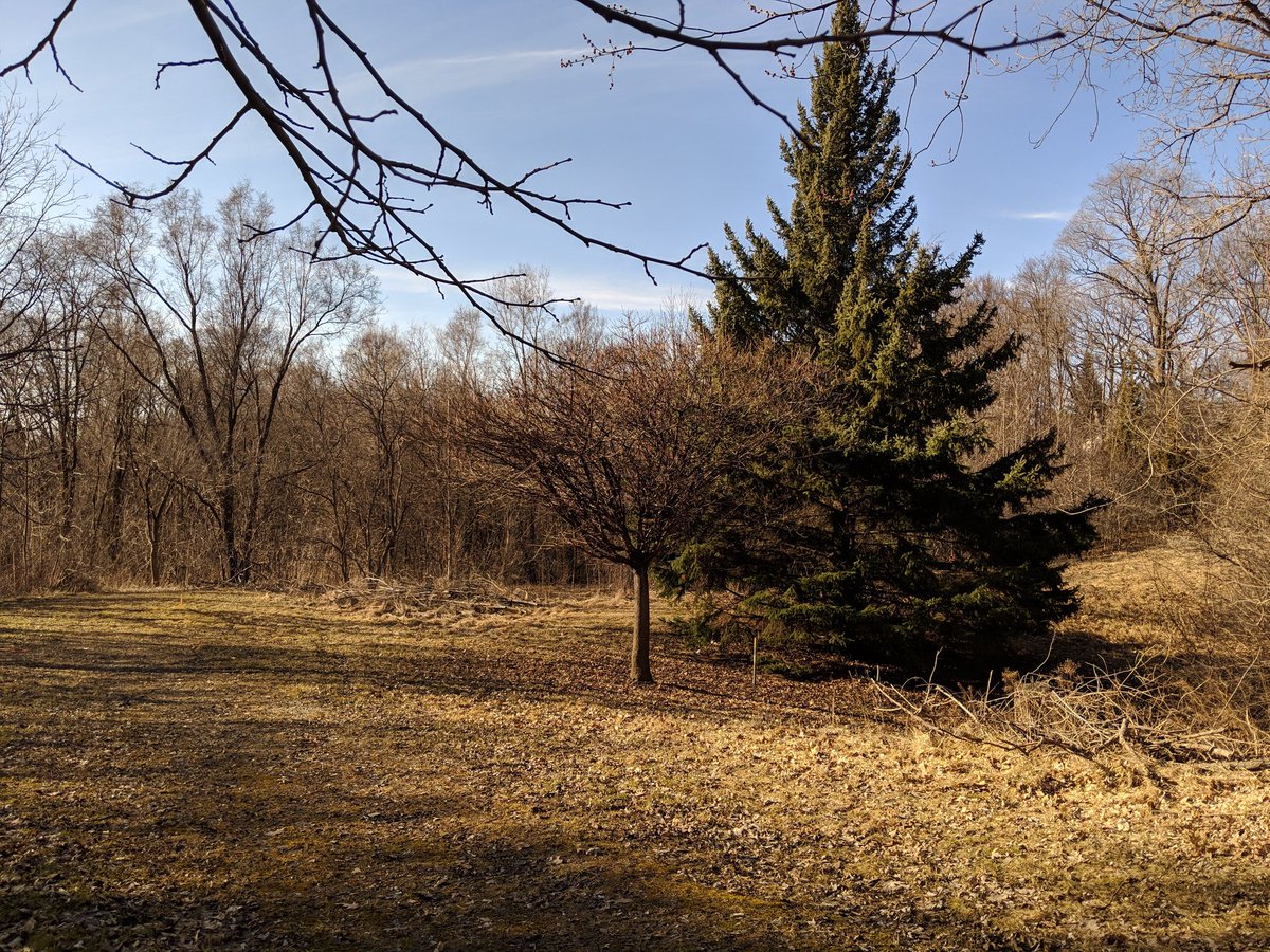
Zigzagging through Drumlin Town. No creeks here.


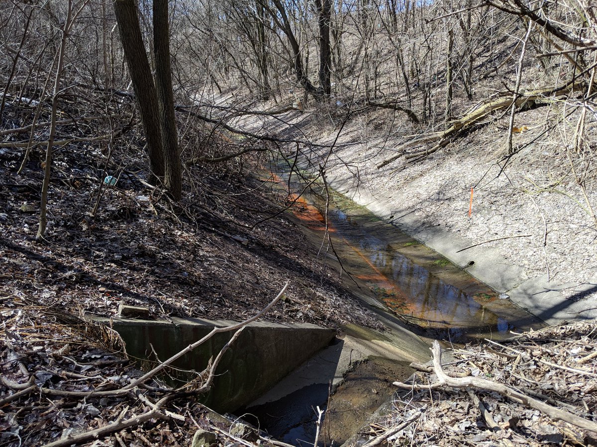
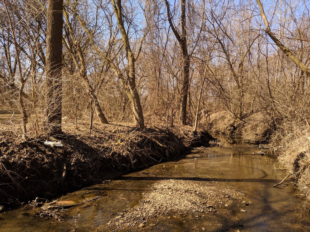
Finally, Lavender Creek appears here at the foot of Keele Street. There’s a short reach here flowing south to underneath the GO Kitchener / UP Express / CP MacTier corridor.

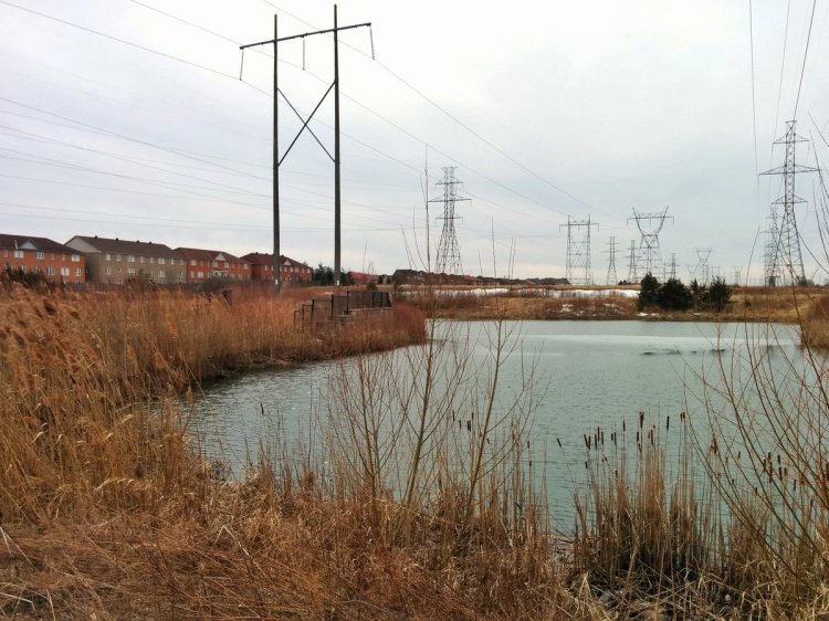
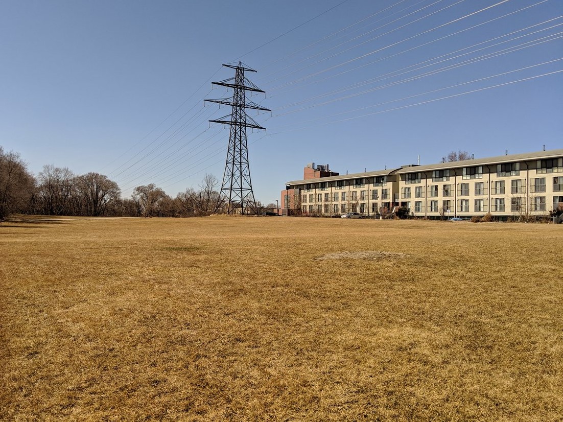
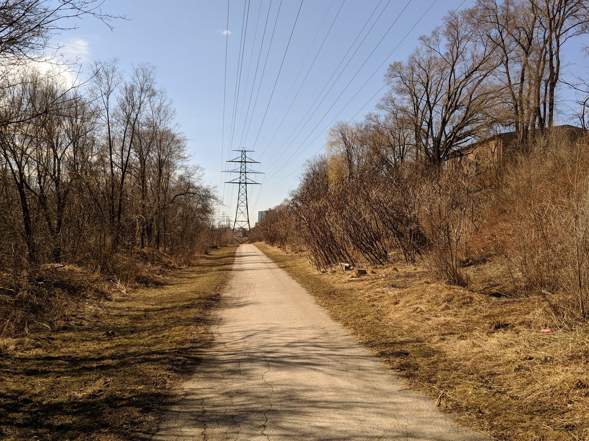
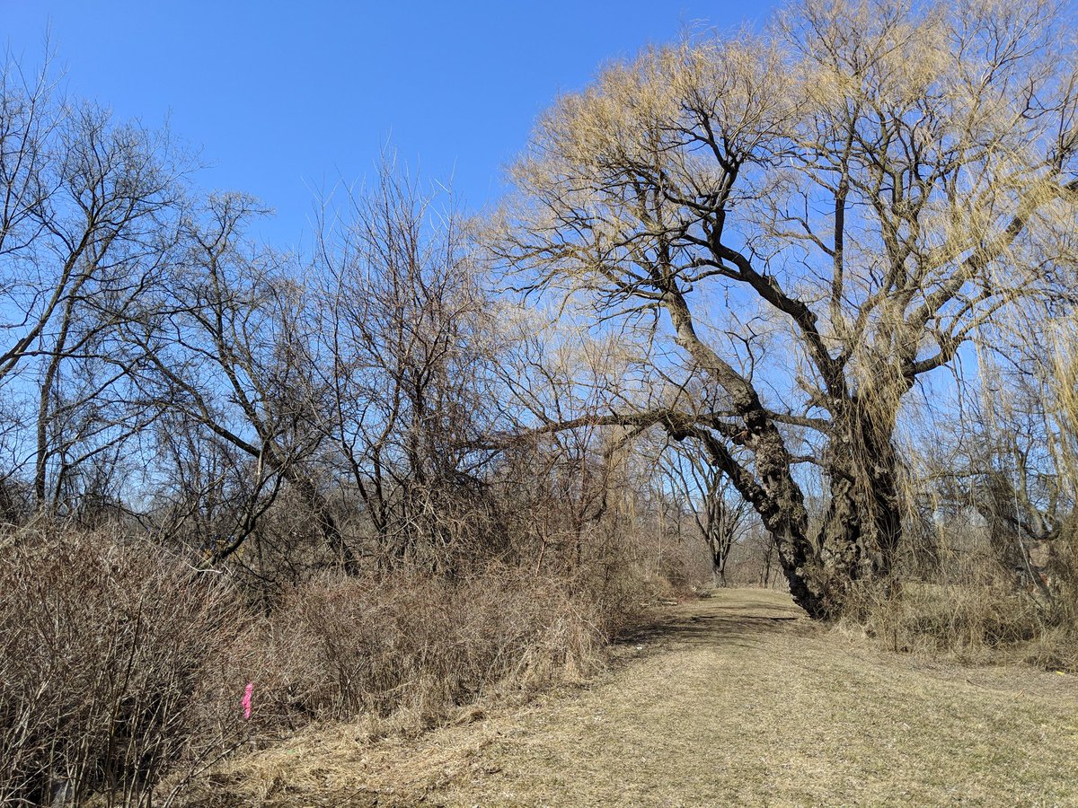
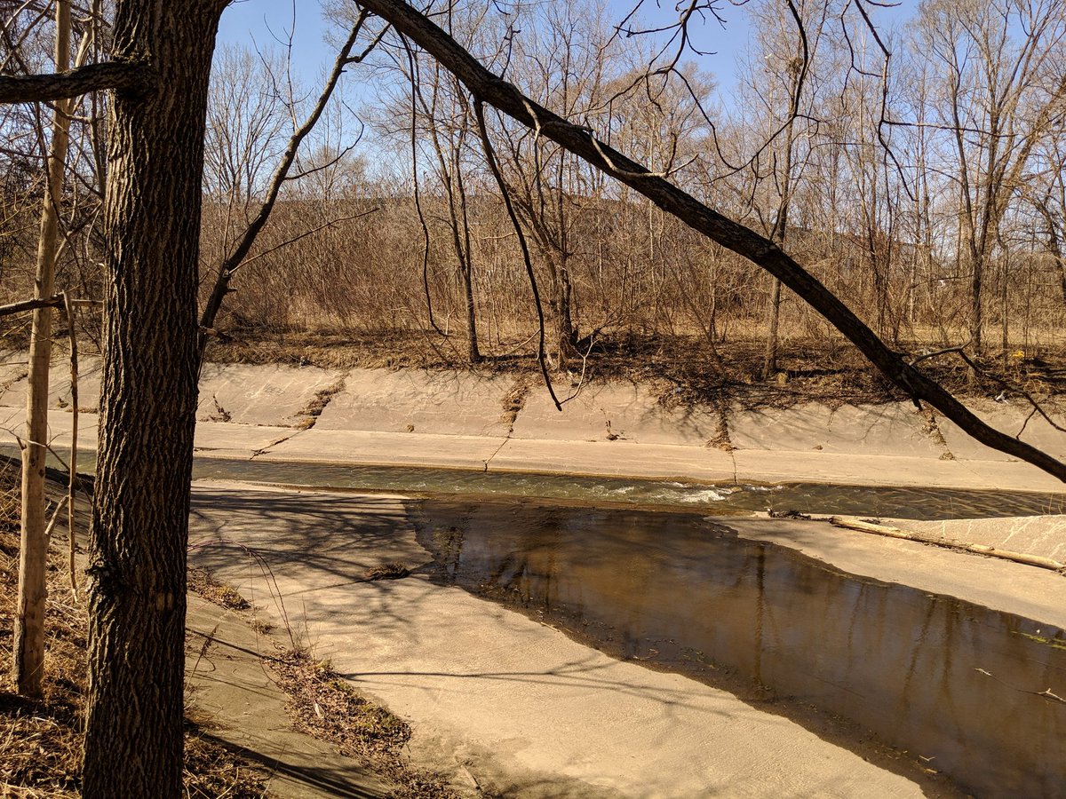
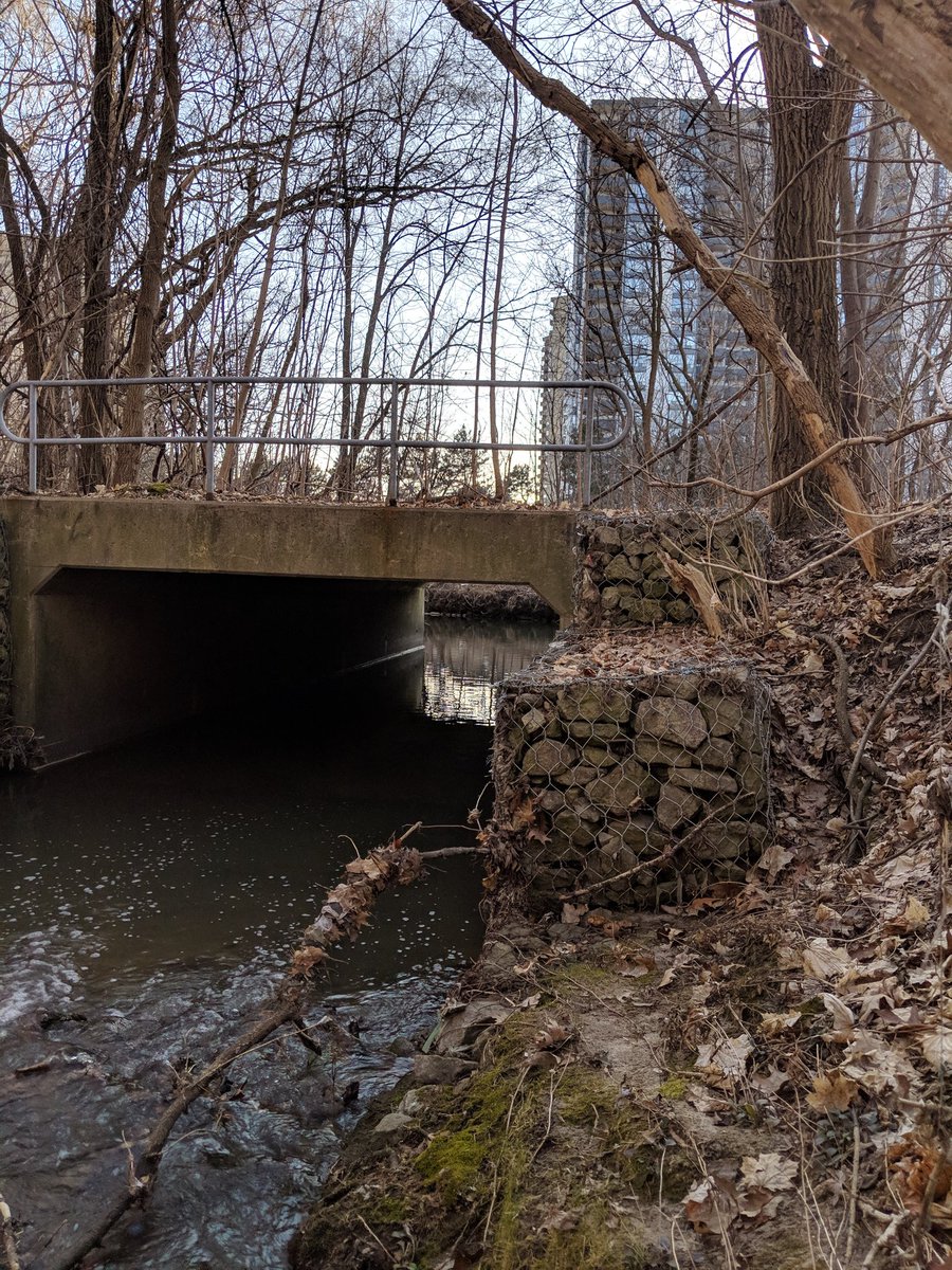
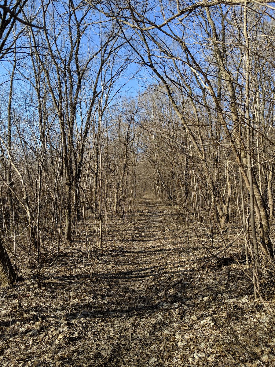
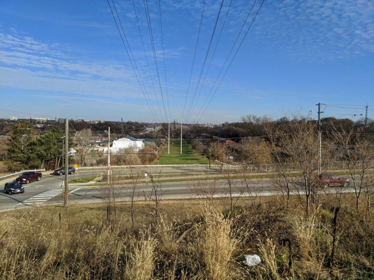
Lavender Creek stays contained in this culvert for a while, continuing west past Weston Road and some parkland. Finally appears again north of Gunn’s Road and northwest of the Stockyards, parallel to a hydro corridor.


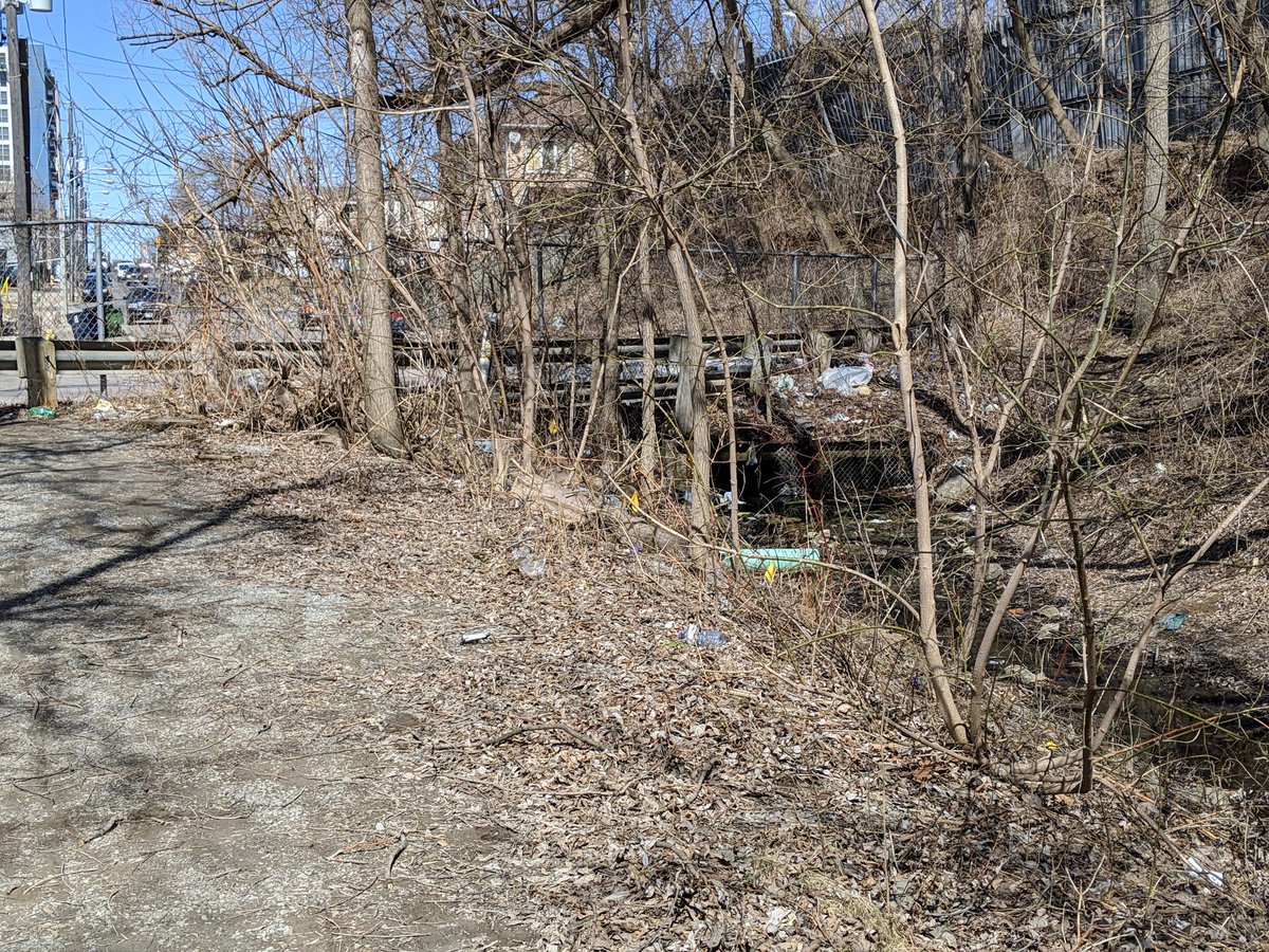
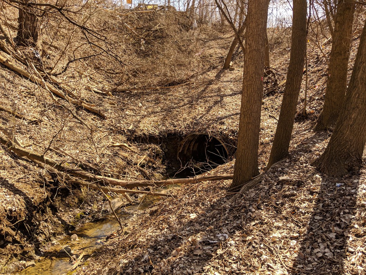
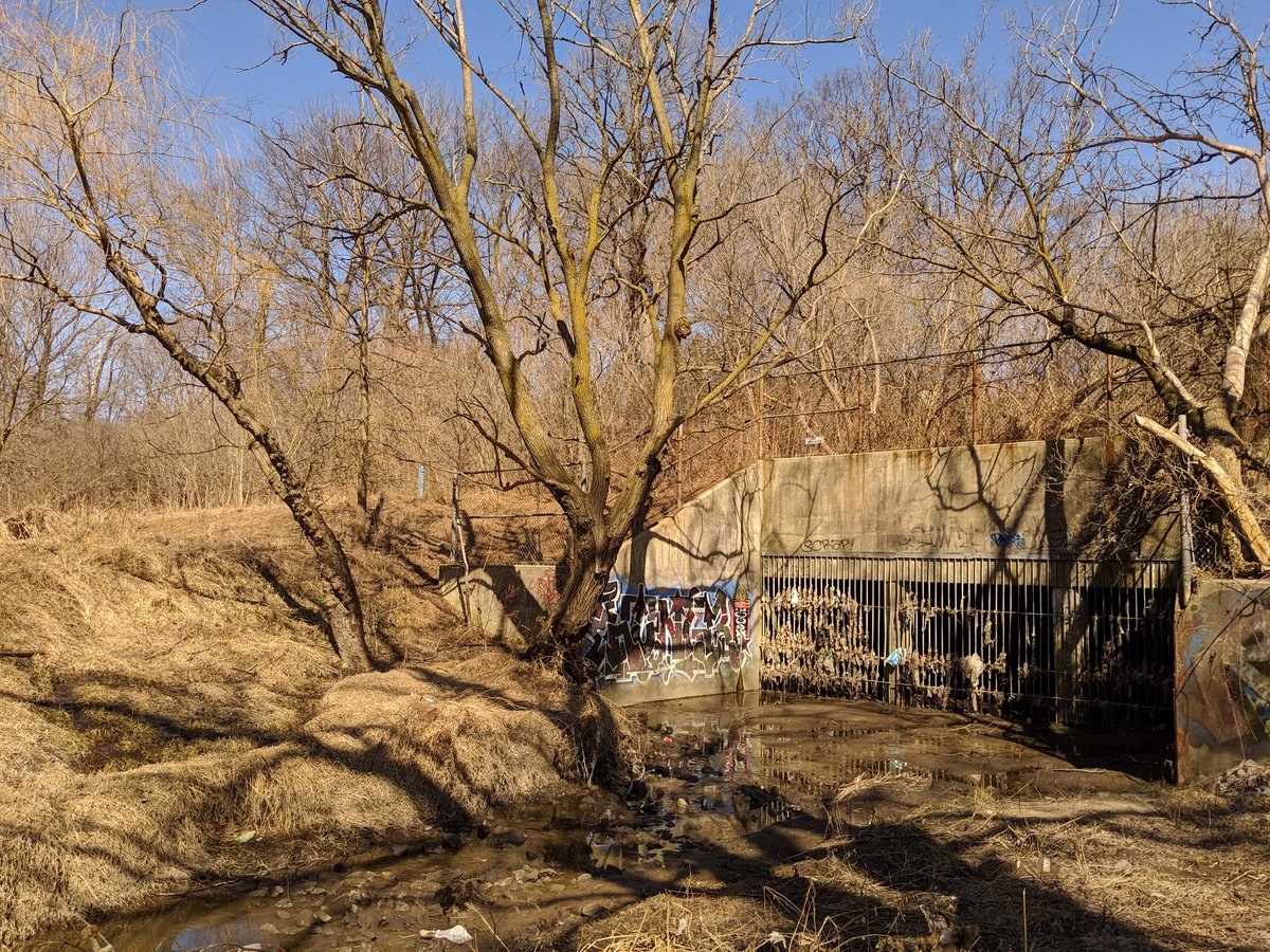
Lavender Creek continues along the hydro corridor until Symes Road, where it ducks into another culvert. This one isn’t as long. The creek takes a 90° turn to the north, and punches under a couple old bridges to an adjacent industrial property.

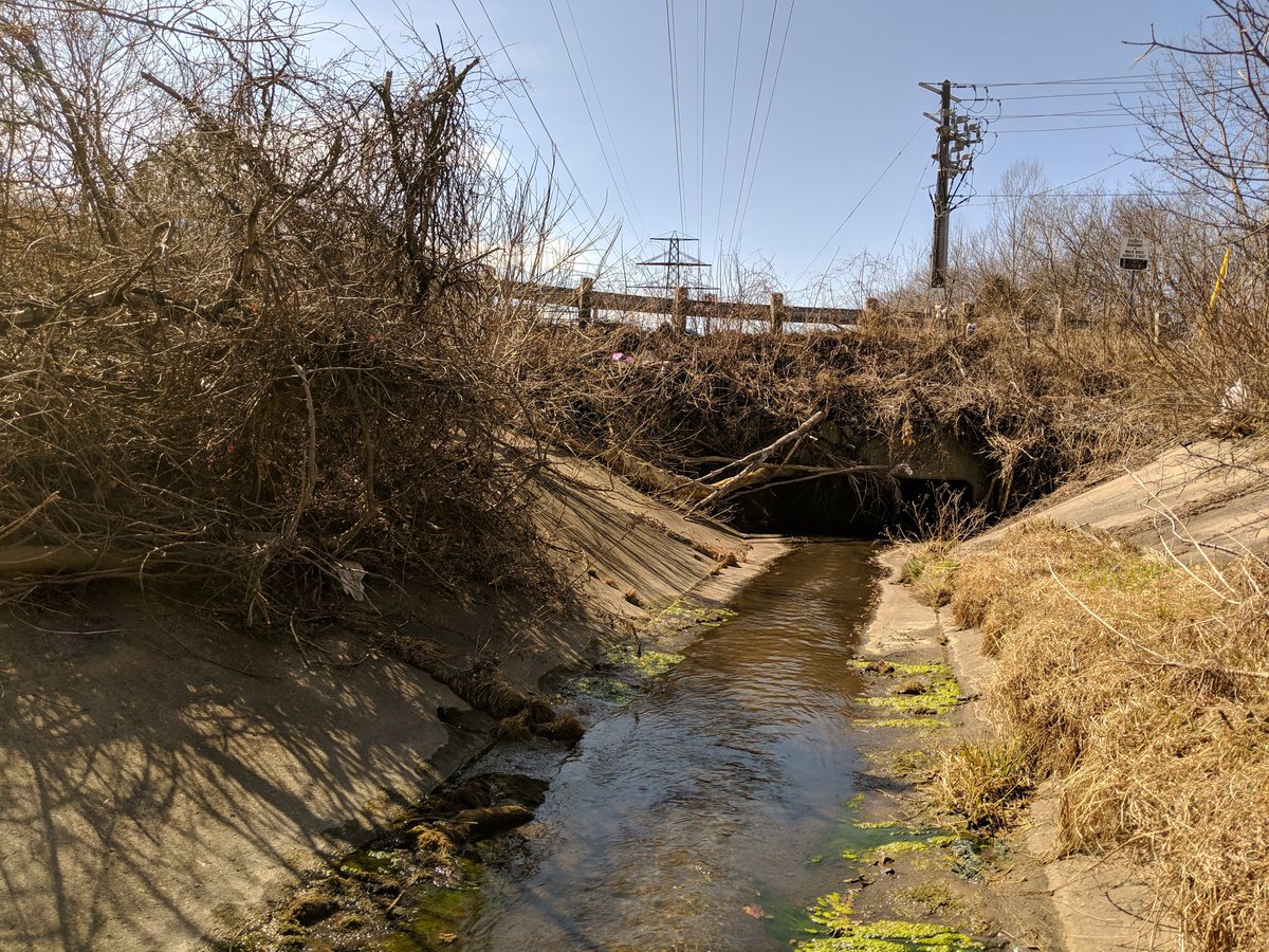

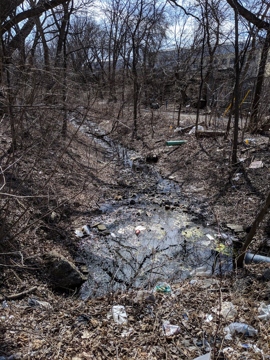
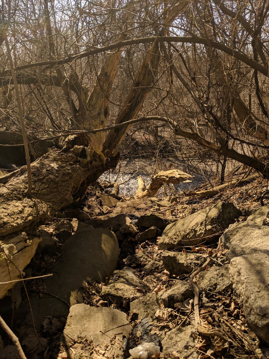
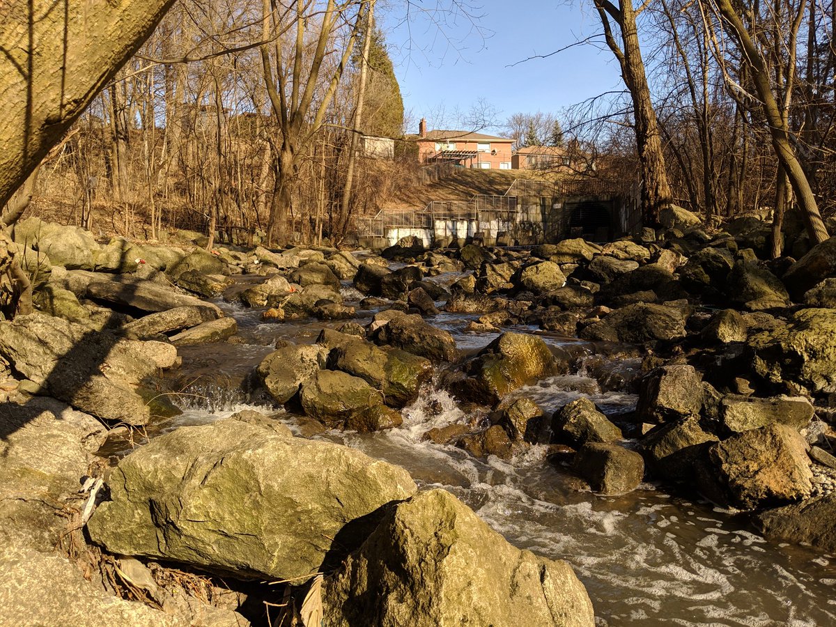
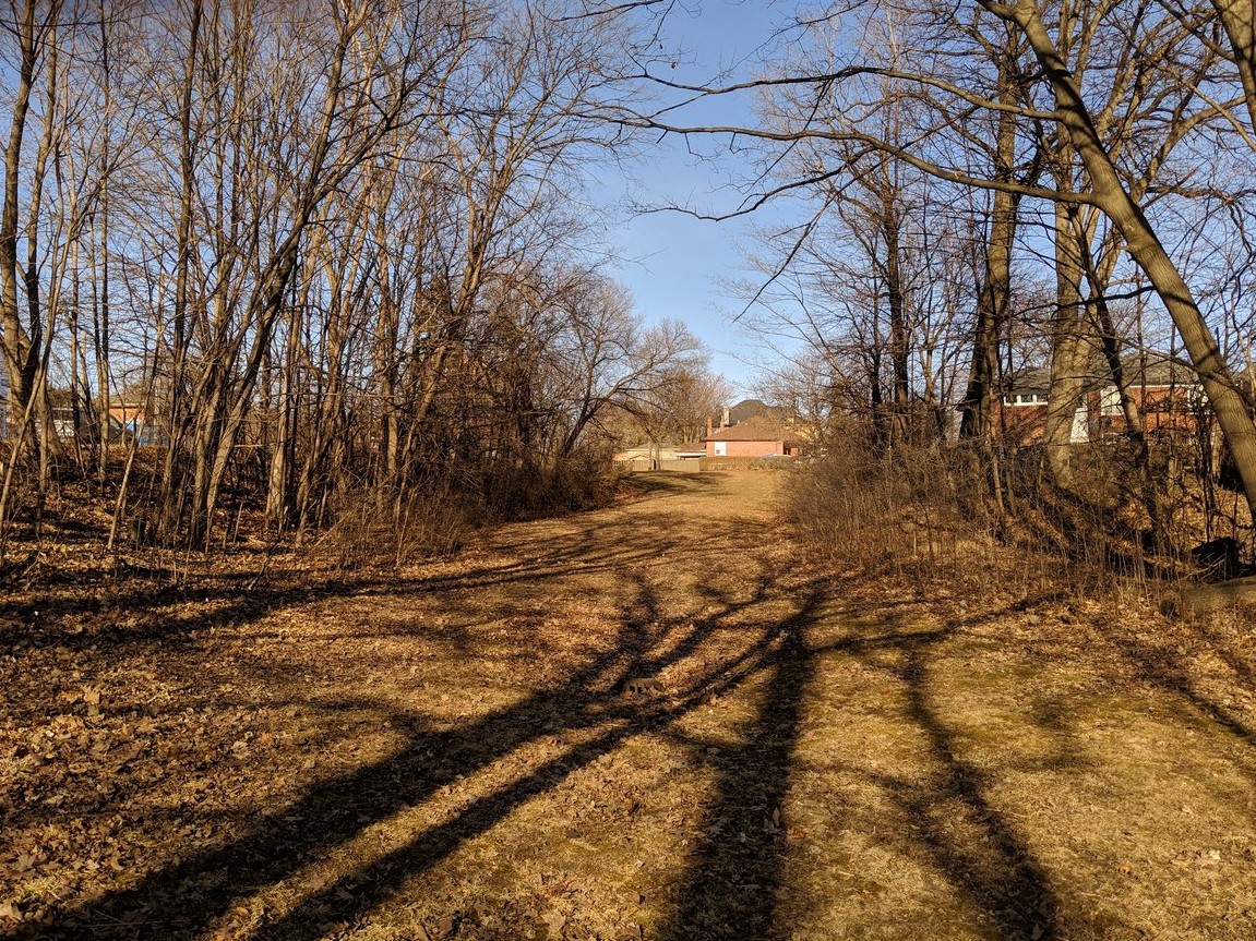
Symes Road ends. Parkland begins, leading you to Lavender Creek’s confluence with Black Creek. Pretty good spring flow, more than the last time I was down here, won’t be hopping side-to-side.

Next tributary upstream is a small stream flowing along the east side of Keelesdale South Park. Although there are some huge outfalls here, can’t be sure if these are lost rivers or are just part of a stormwater management system directed here.


This stream dries up quick, probably due to the arena here, and the Crosstown.


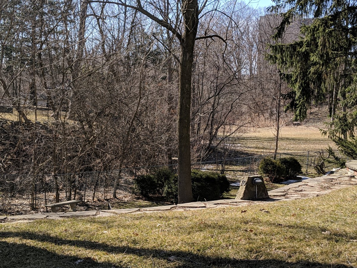
Next tributary is short too, north of the York Civic Centre, although it used to flow further east to at least Trethewey. A valley suddenly develops past the parking lot, it pops out and flows a hundred metres or so, then dives into a constructed outfall to Black Creek.


Next tributary is not much to see. Starts north of Trethewey, is tucked between houses on Greenbrook Drive and Paulson Road, and is then disrupted by redevelopment of Humber River Hospital’s former Keele Campus. Woodborough Park is a shadow of the creek that used to flow here.

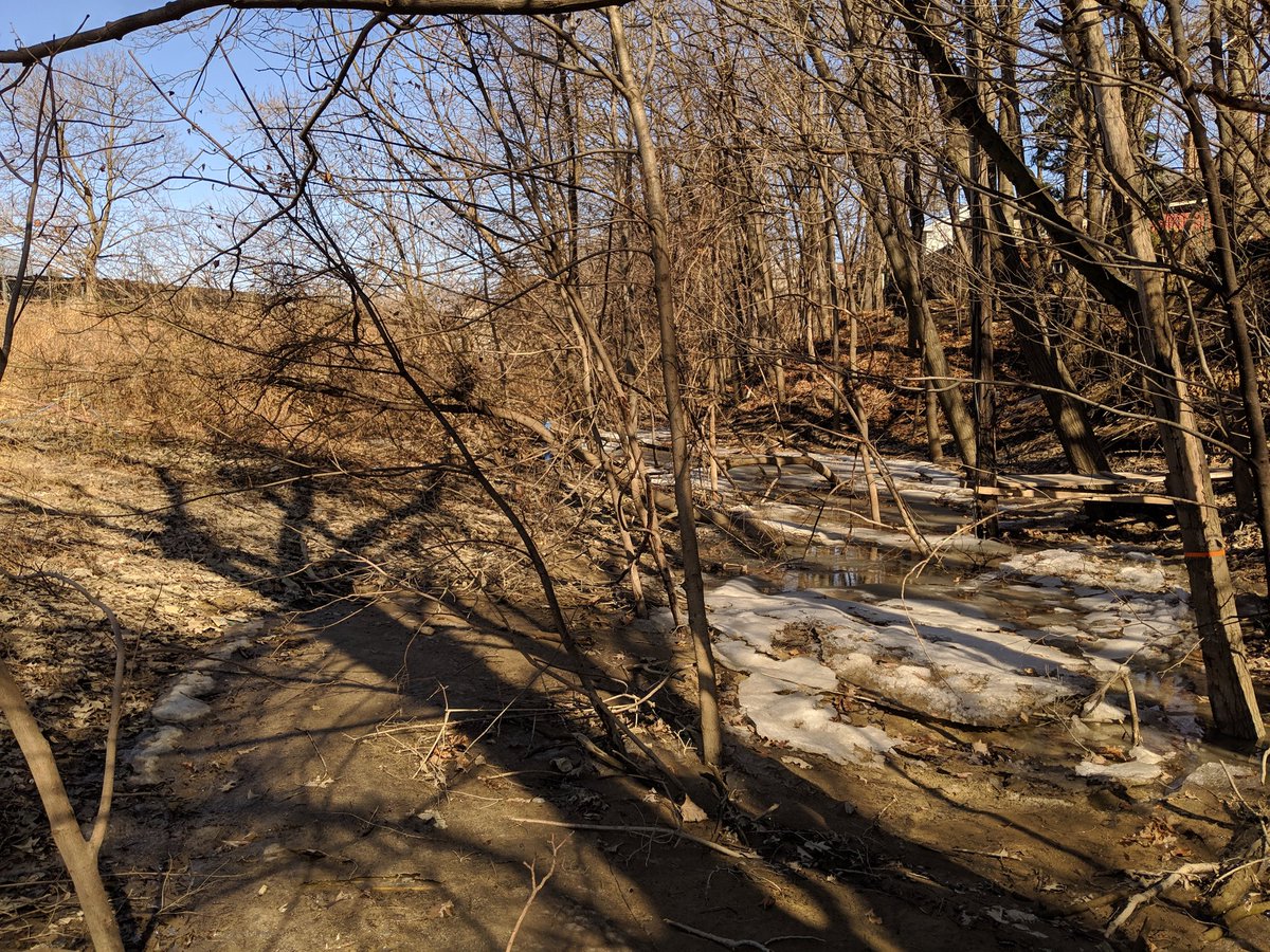
Next tributary has its headwater at…a waste transfer station, and an abandoned golf drive? Anyway, its valley has been retained west of Keele, not sure if this is the stream itself or a surface ditch.


I can confirm this is definitely a surface ditch until a point west of Culford Drive. Big outfall here, back upstream, there was recently work done, I would presume it was rehabilitation of the sewer containing this tributary.


A culvert structure that seems to be placed for a trail paralleling Black Creek, yet nothing formal exists. Found the outfall for the next tributary, nothing on the surface yet.

Backyard encroachments, then just a grassy valley, then houses. Nothing further to see for this tributary.

Last tributary for today. Starts in the east end of Amesbury Park, but again it’s nothing but surface ditches. Just another grassy ravine all the way to Black Creek Drive.


Date: March 29, 2019
Length: 18.7 km
Type: Riverine

Related Walks
Intersecting rail line and hydro corridor north and south
Beltline
Hydro corridor parallel to Lavender Creek
Crosstown Southwest

Black Creek upstream and downstream of confluences
Black Creek I