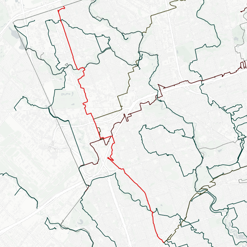
Today, I’m electing to hike a hydro corridor. Starting from Kipling Station, and heading north along the Etobicoke Spine. Let’s go.


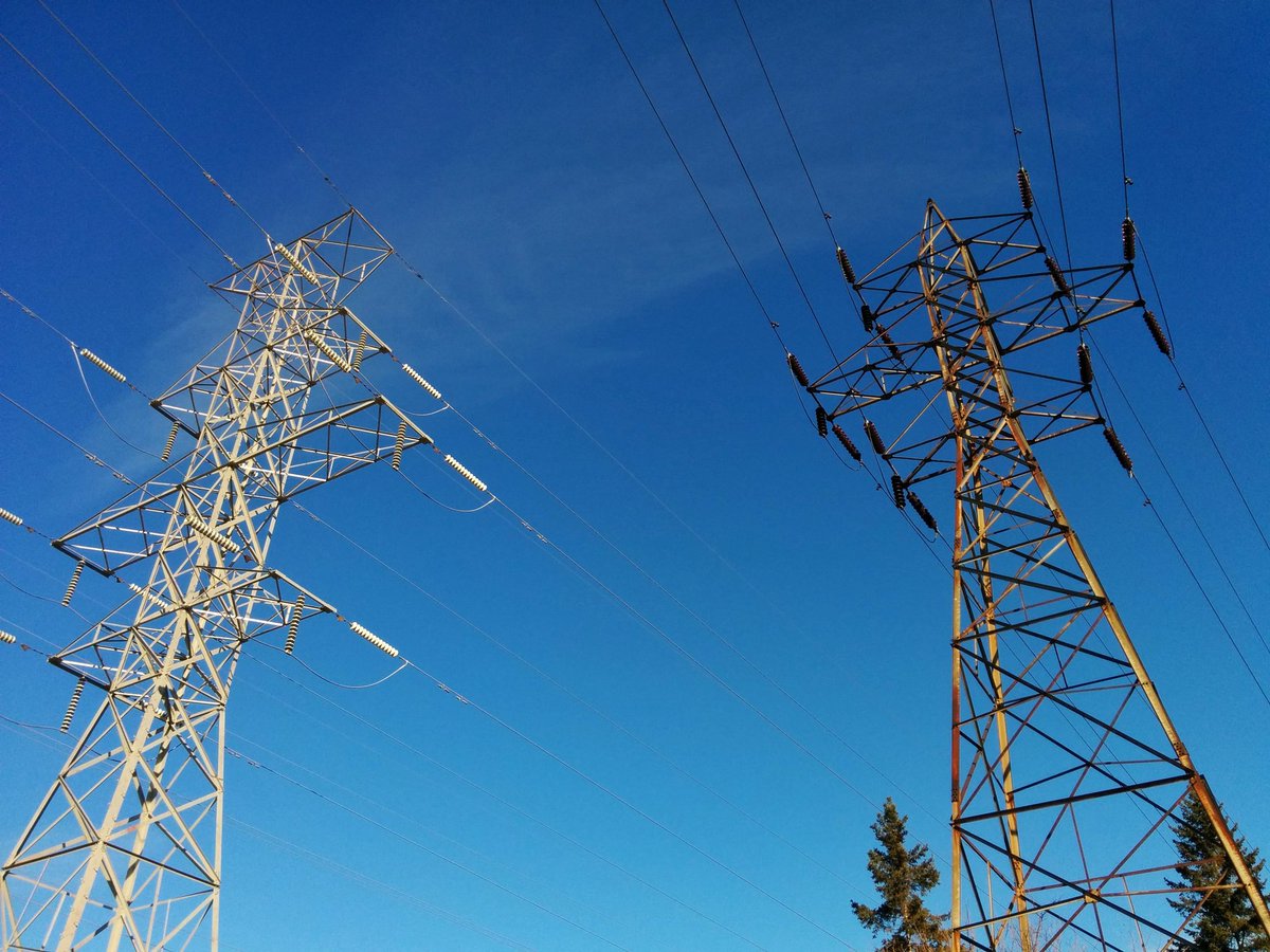
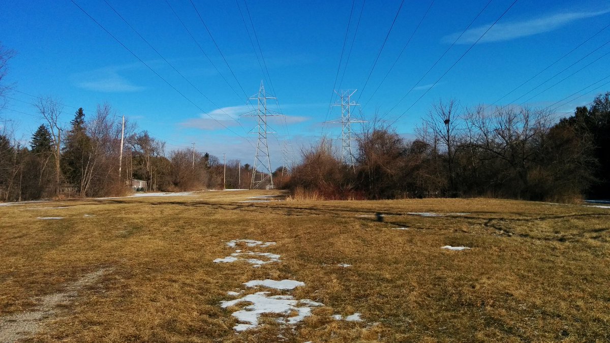
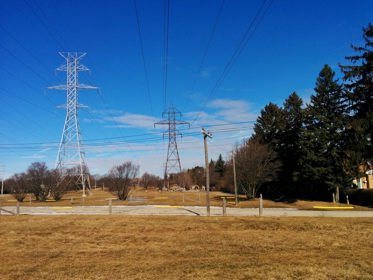
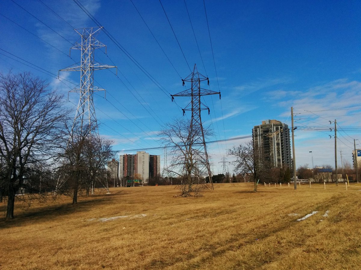
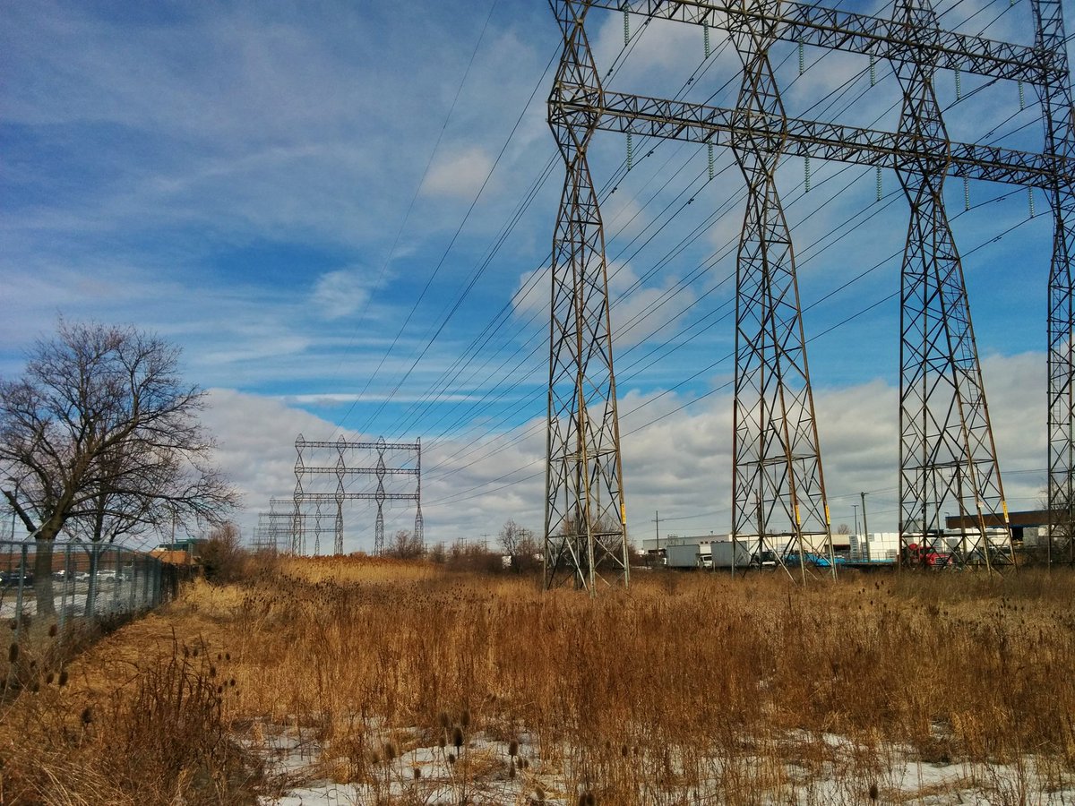
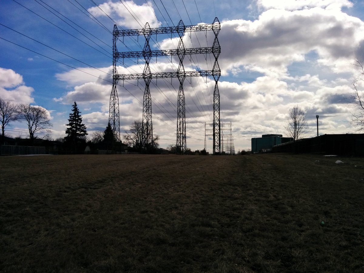
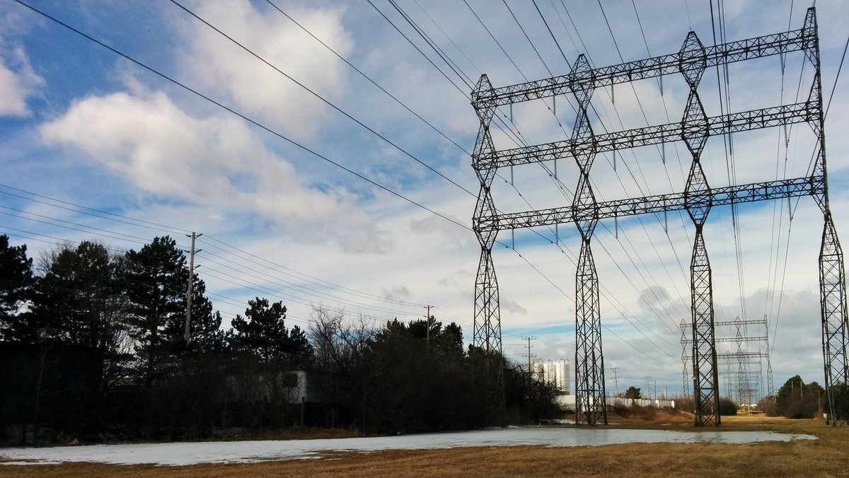
A brief couple blocks where the corridor is used, then it opens up. 3 towers wide; 2 look newer, the third is kinda rusty. Mostly grass flanked by single family homes, but there are mature trees dotted along it.

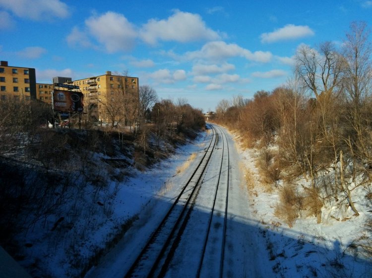
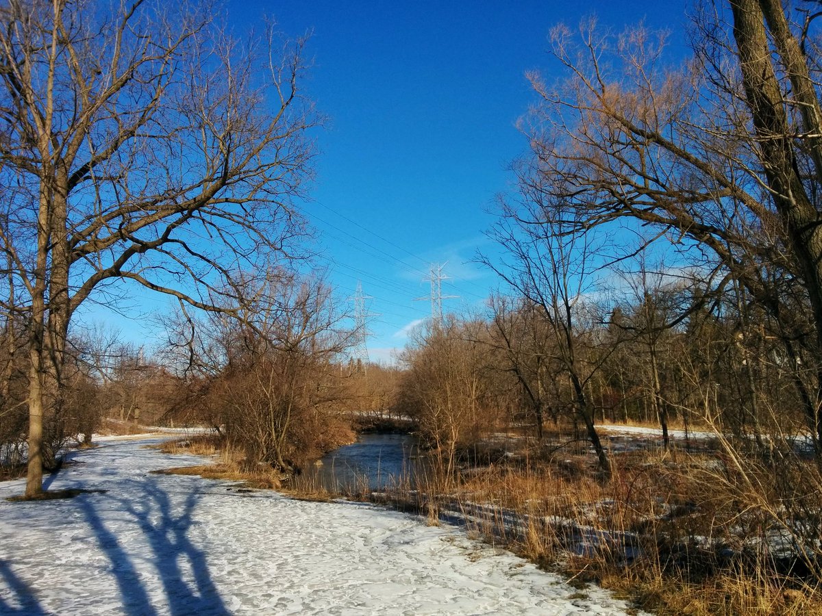
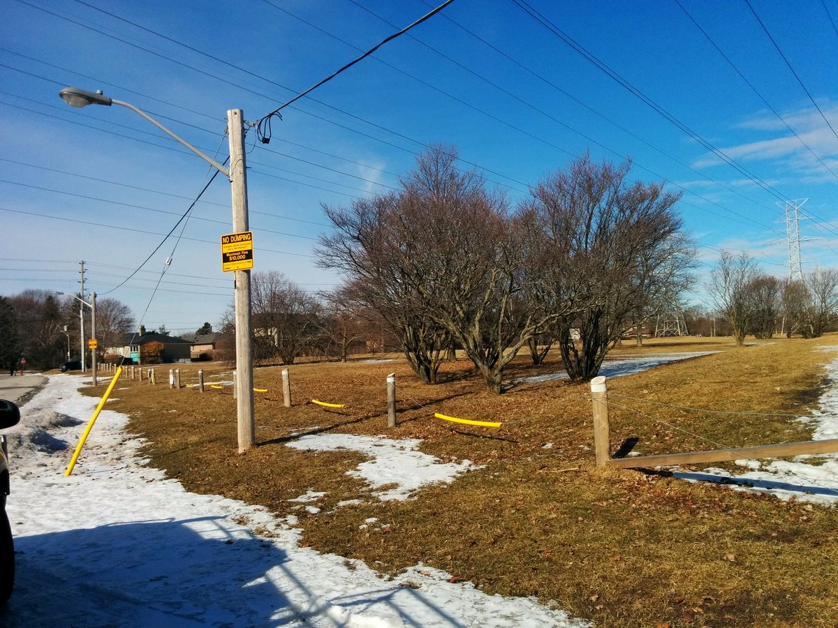
Mostly local streets to cross. Biggest barriers so far: Burnhamthorpe, with 4 lanes and no controlled intersections nearby, and Mimico Creek, which did have a bridge close by.


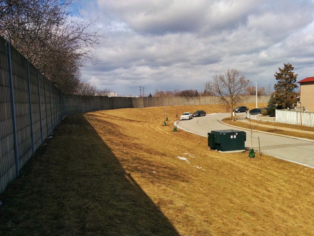
The corridor is a great open space for nearby residents, and it certainly is getting used. But it’s not really embraced by Hydro One. I’d believe the eastern lines are either non-operational, or used by someone else with lower clearance standards; the trees are taller and closer.
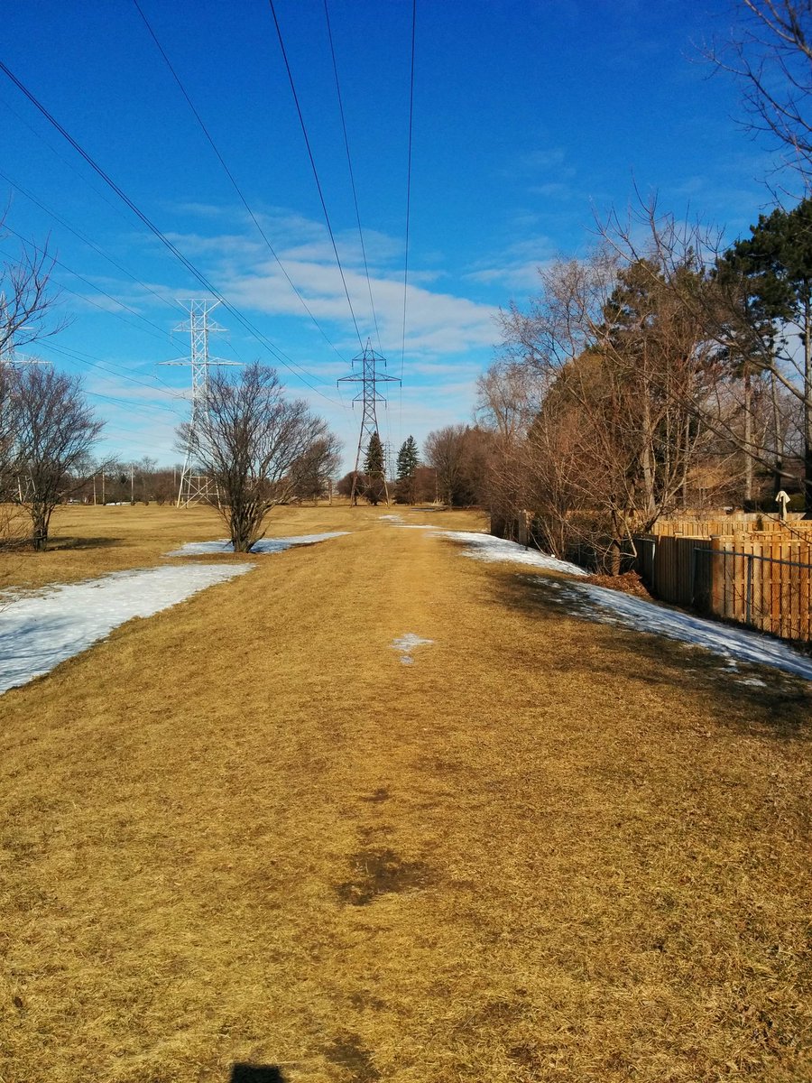
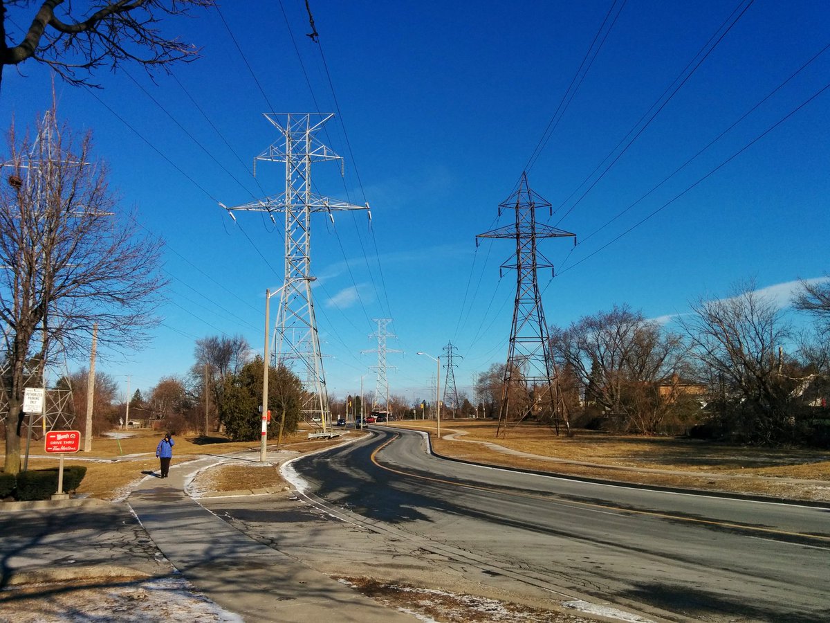
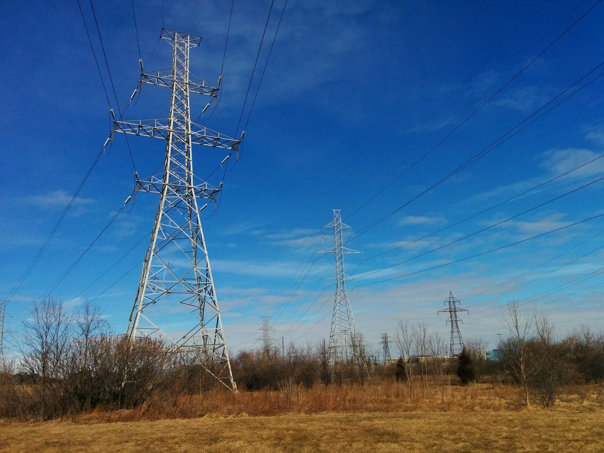
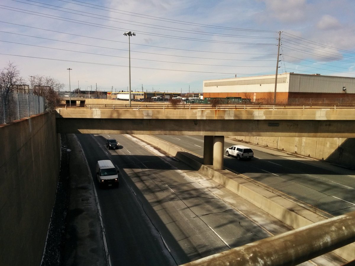
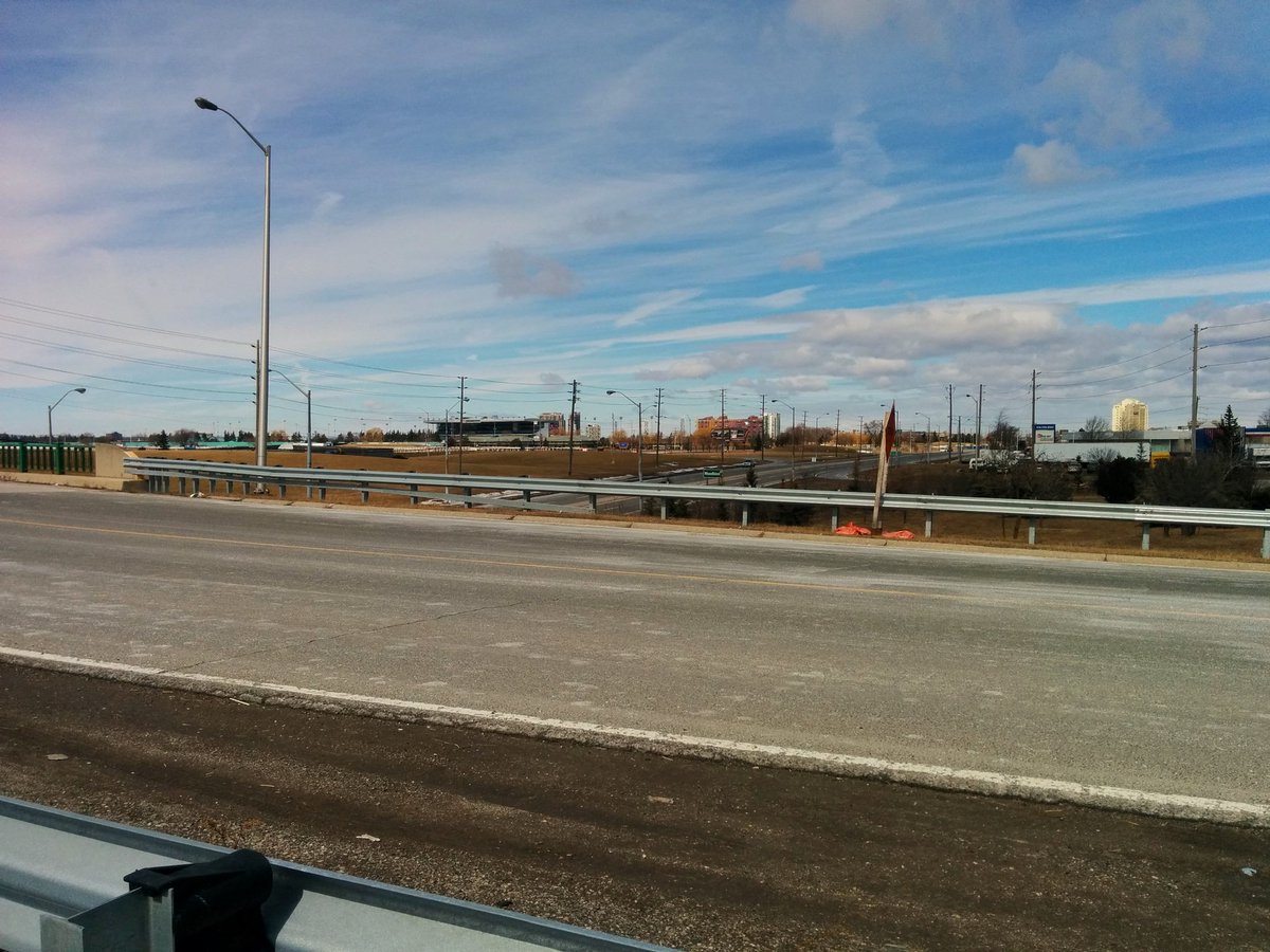
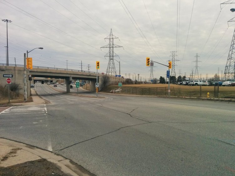
Pretty much the same until eventually, you approach Martin Grove and Eglinton. Road network gets crazy. And you can hear the dull roar of the 401/427 interchange nearby.
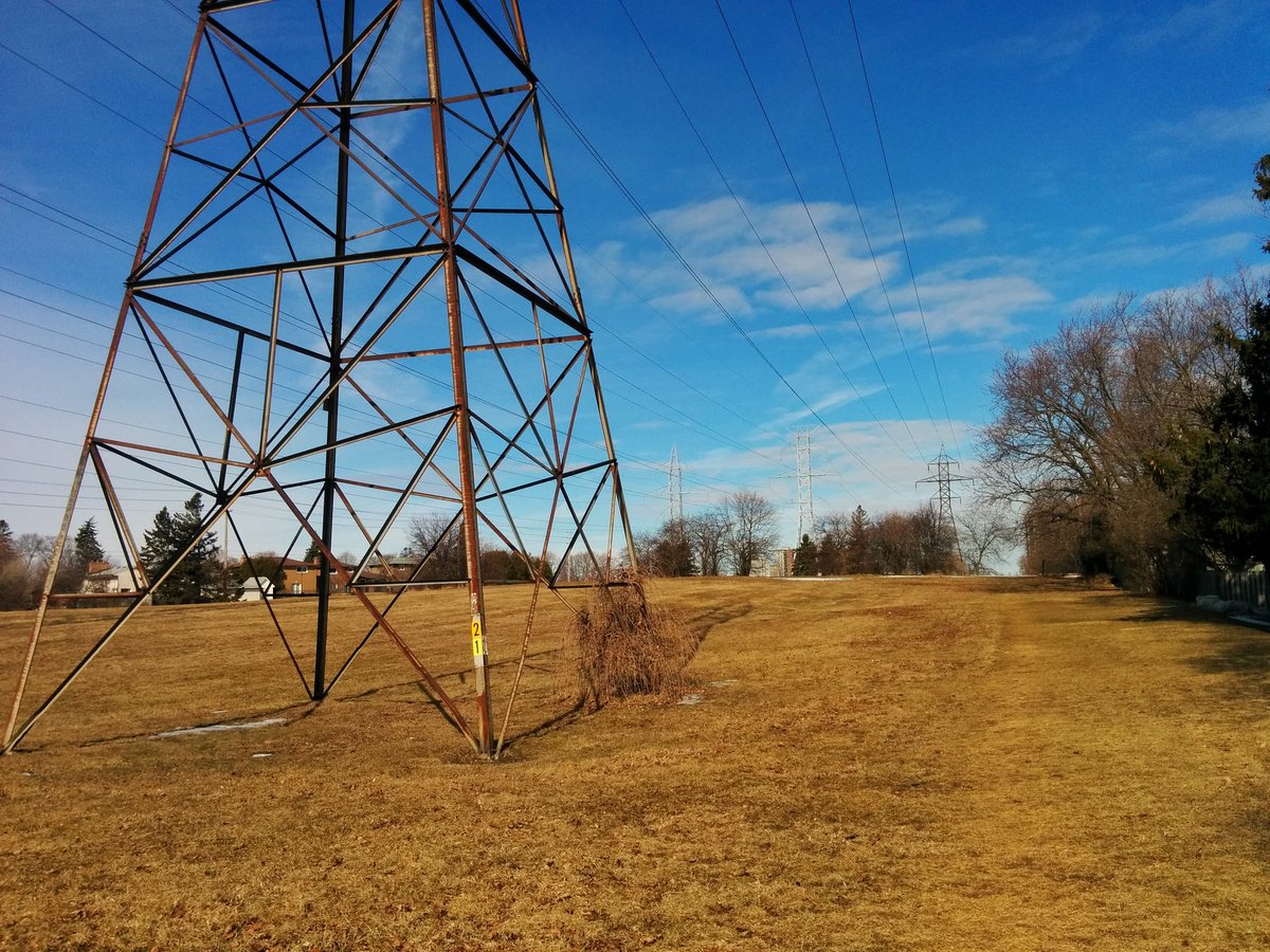


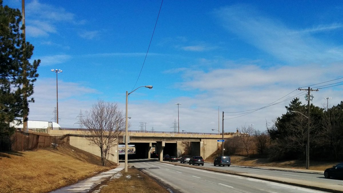
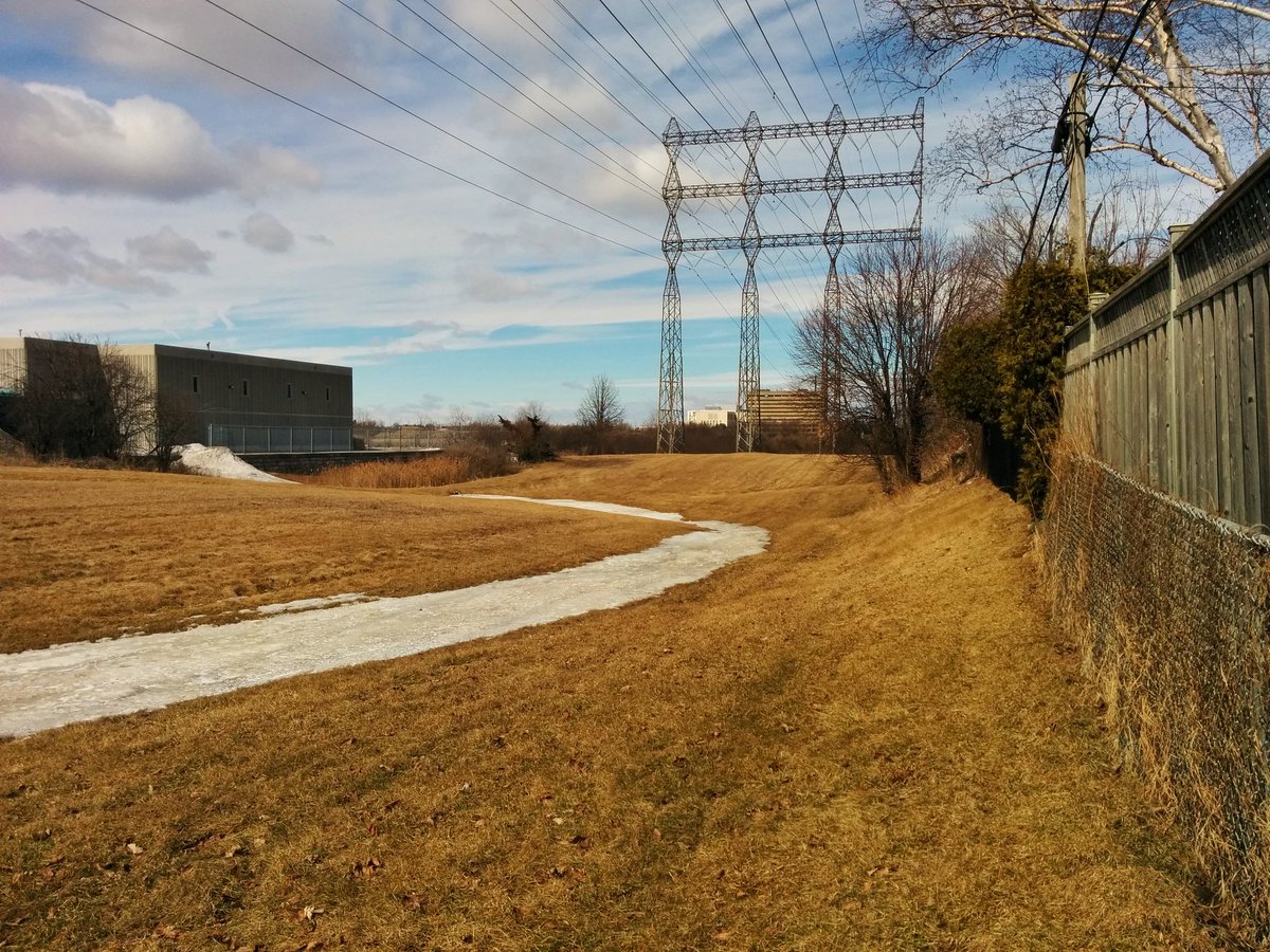
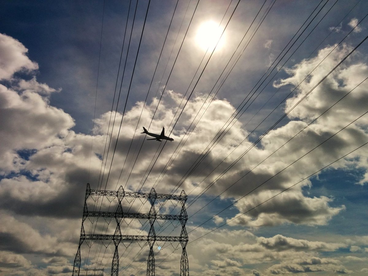
The hydro corridor leads to the Richview Transformer Station, next door to the Molson plant. That means I hit a dead end at the 401, and gotta go around.


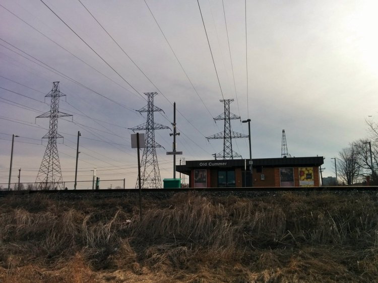
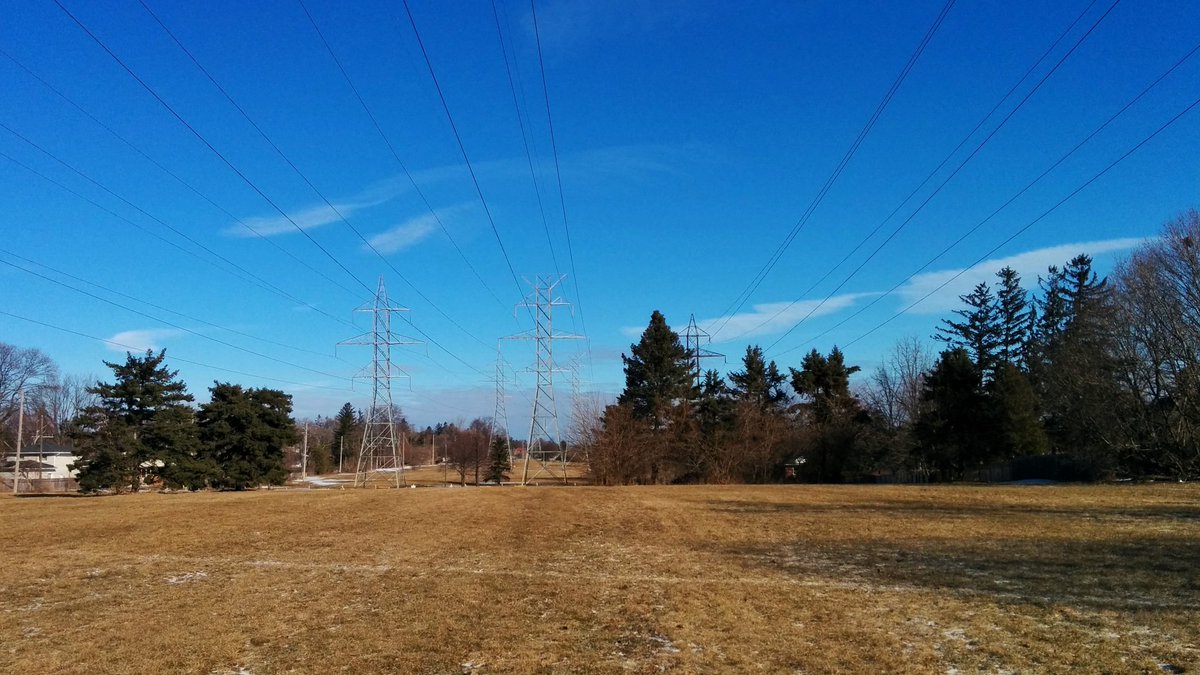
From the Richview TS, one hydro corridor continues northeast to Finch. I’m going to continue following the Etobicoke Spine, directly north paralleling Highway 27.
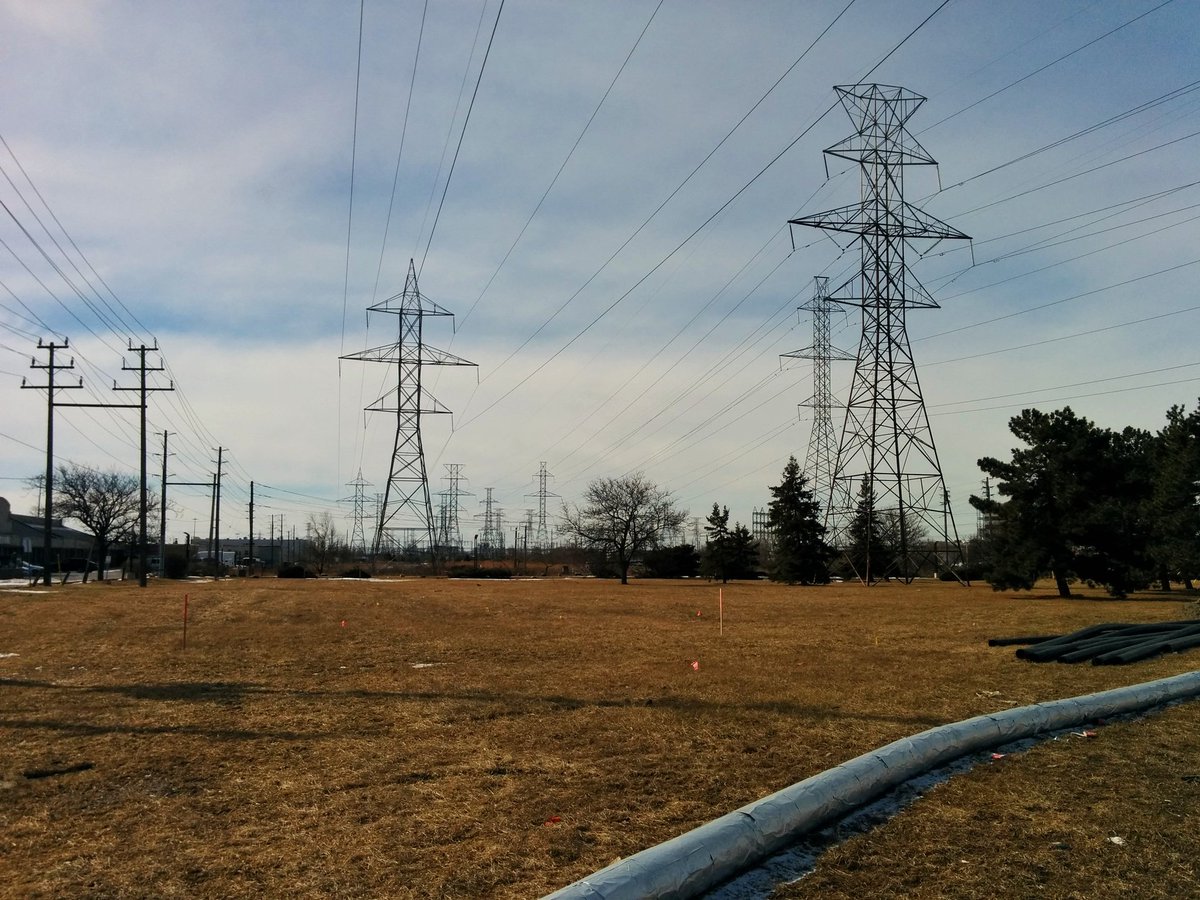


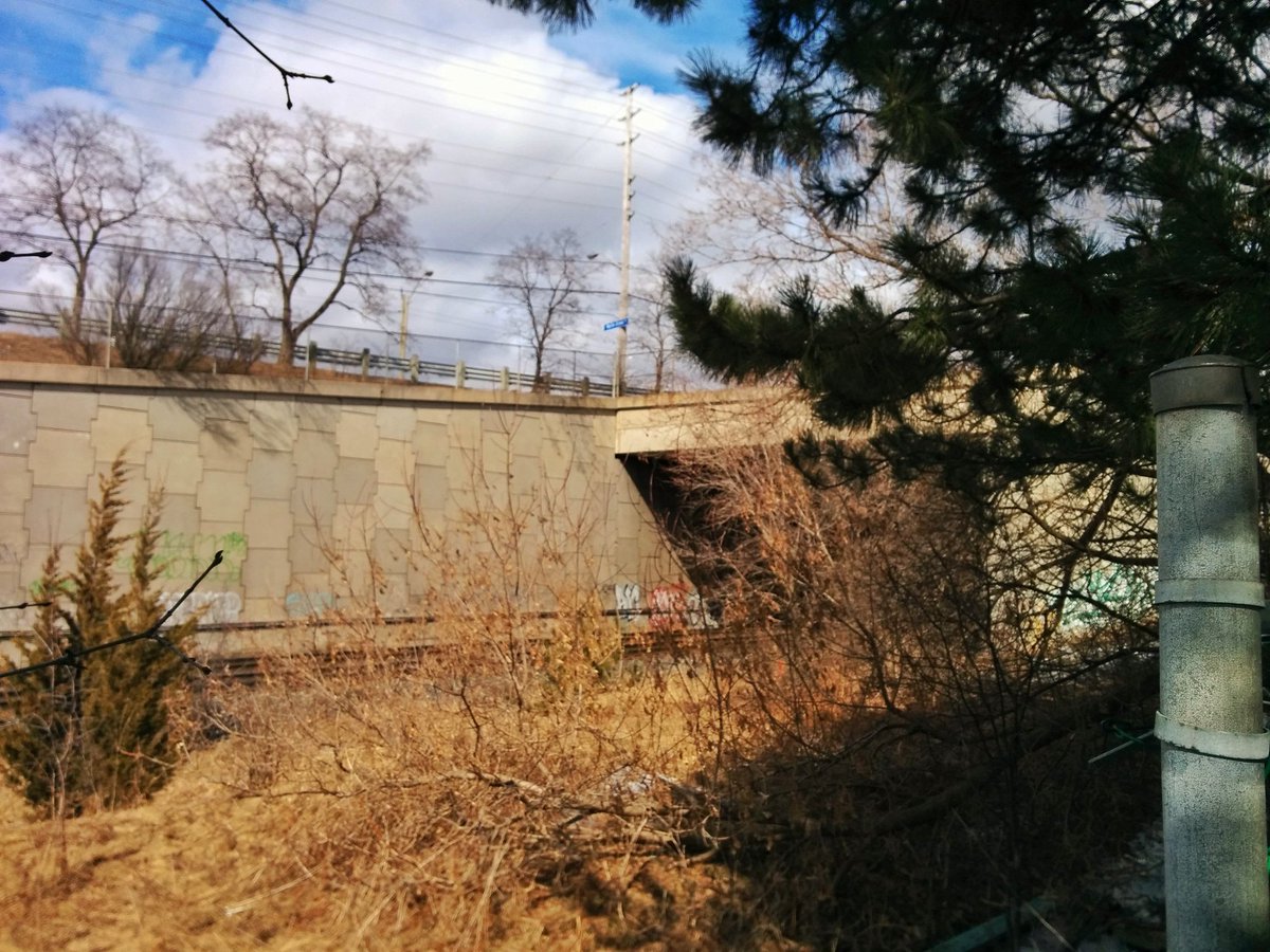
Past the convention centre for folks, and over the 409. The corridor here is narrower, and taken up in spots by industrial uses.

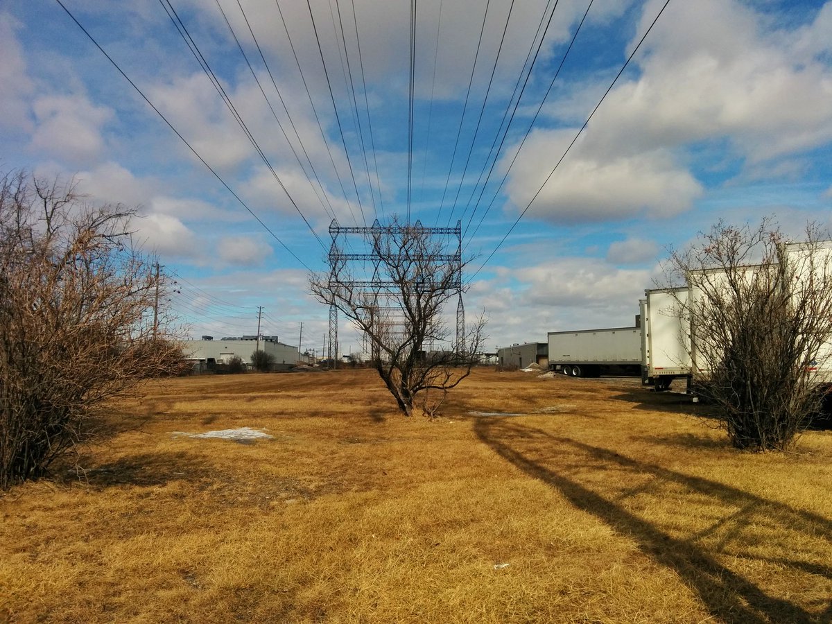

Over, under and around to get past the Kitchener GO / Union Pearson Express rail corridor, and the ramps to / from Woodbine Racetrack. Then the corridor gets thick with overgrowth.


The corridor is not accessible for continuous north-south walking north of Rexdale. Businesses have fenced it off, and then the West Humber makes for another detour.


Detouring along the West Humber is not the worst inconvenience by a long shot, but boy, it’s high. Once on the other side, the journey returns to a (relatively) straight line.

North of Finch, the hydro corridor becomes a dividing line: residential to the east, industrial/commercial to the west. Some scraggly vegetation, some encroachment from both sides.


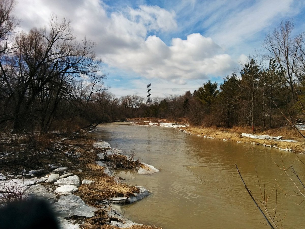
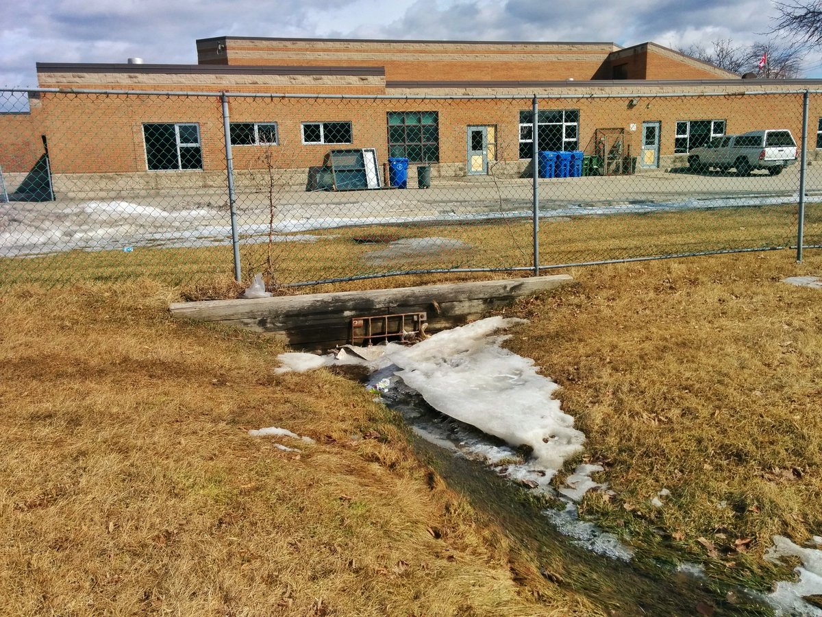
Surface drainage on either side of Albion Creek, both ditches go through the hydro corridor before dumping into a sewer inlet. The creek itself was a challenge, going around would have required some backtracking, so I managed to hop over it. Barely.


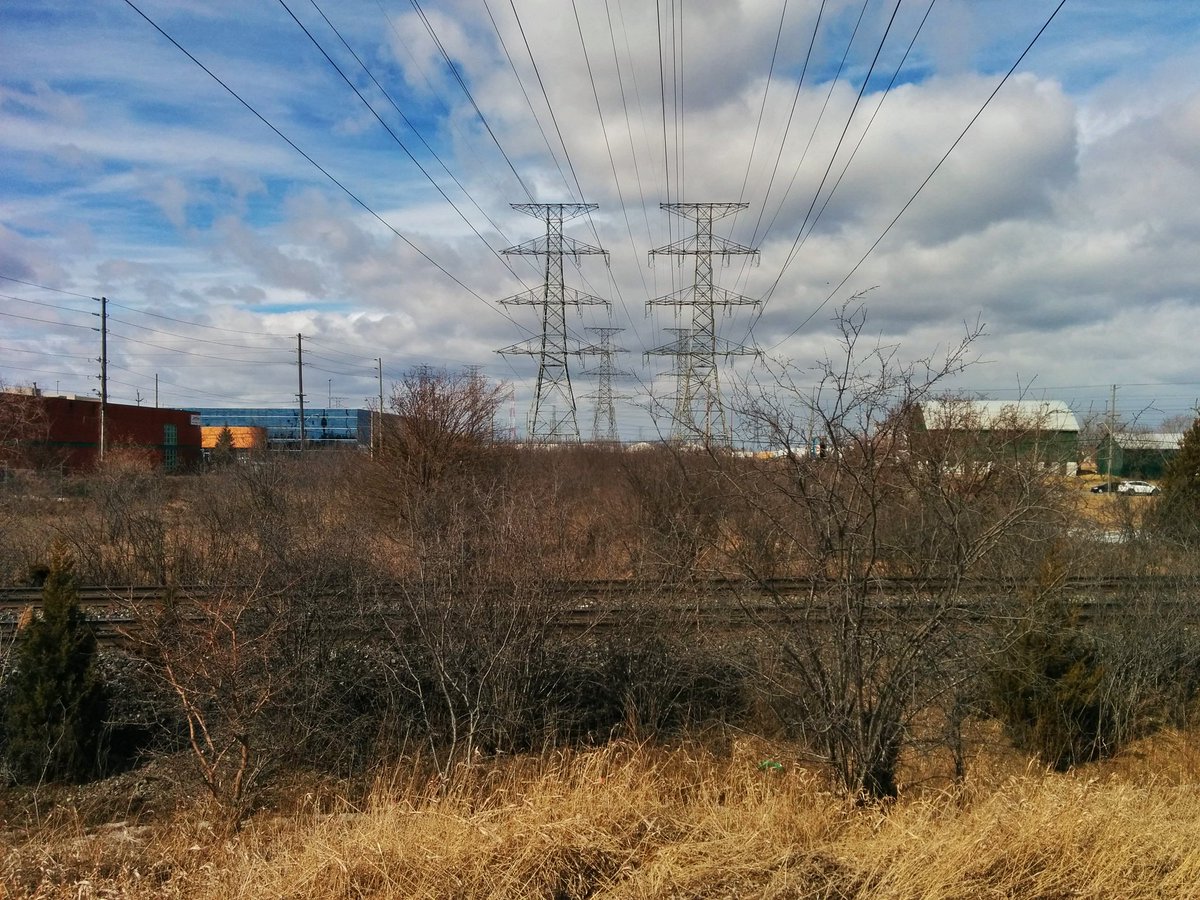
End of the “Etobicoke Spine” hydro corridor. Beyond this point, the corridor crosses a Canadian National mainline, the city border at Steeles, and the 407 before linking up with Claireville TS and Hydro One’s main high voltage transmission corridor east-west across the GTA.

Date: March 17, 2019
Length: 19.0 km
Type: Utility
Related Walks

Sister hydro corridor to the east
Crosstown Southwest
Intersecting creek upstream and downstream of the corridor
Mimico II

Intersecting highway to the east, and Richview TS
401 II
Second sister hydro corridor to the northeast
Finch Hydro I


Intersecting river upstream and downstream of corridor
West and Main Humber
Intersecting creek upstream and downstream of corridor
Humber Tributaries II