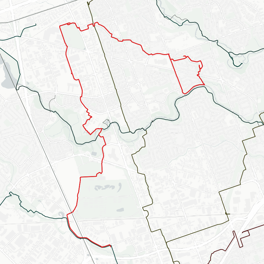
Following another Humber tributary today. Starting point is off of the West Humber east of Kipling. Pretty wild waters.

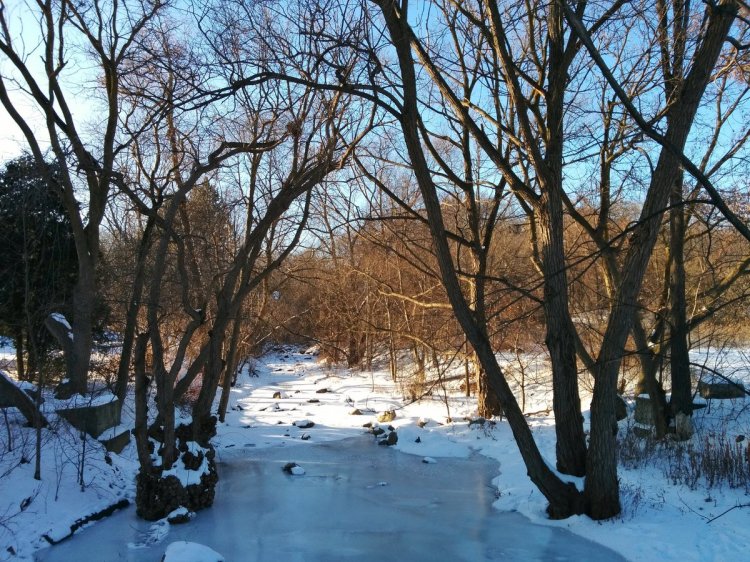
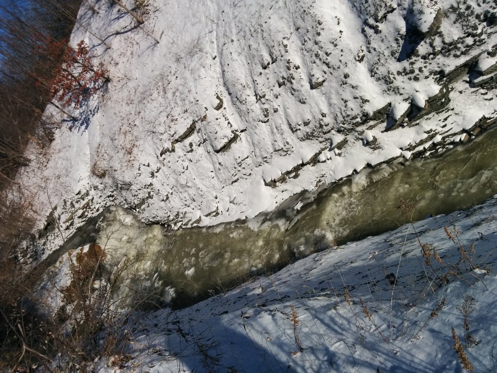
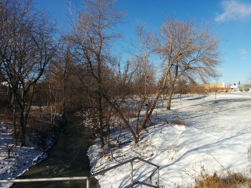
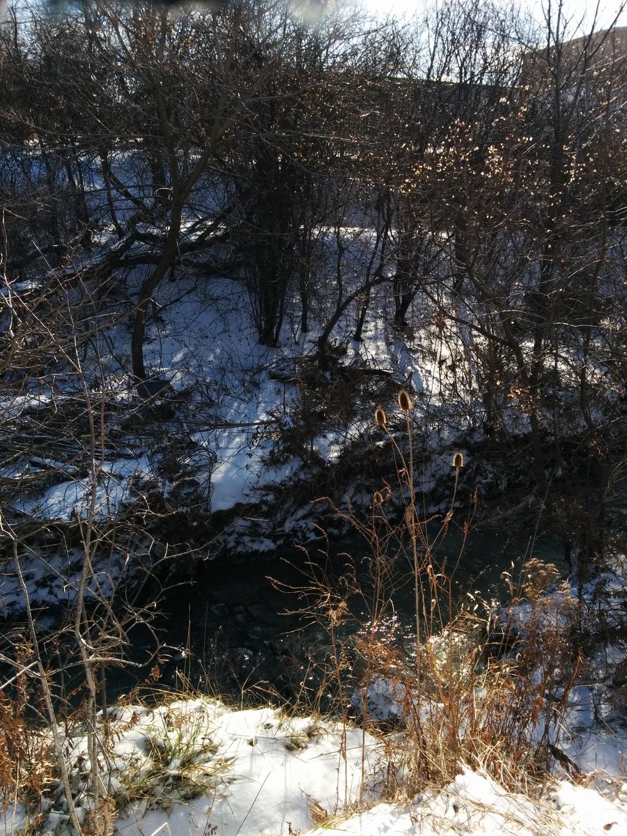
Here we are. We will be following Albion Creek today. Quite the start, look at that cut!


Okay, that was sketchy. Bank was steep at first, then just eroding the whole way. Overgrown with strangling vine near the end. Tough to push through, but I made it to Albion Road.

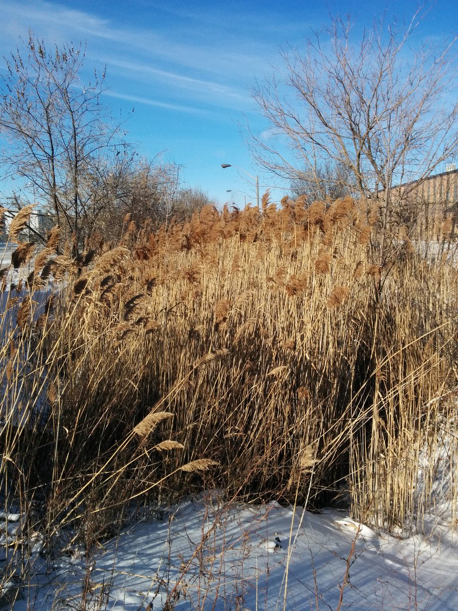
Two blocks of overgrowth sandwiched between private backyards. Going around, sometimes you gotta pick your battles.


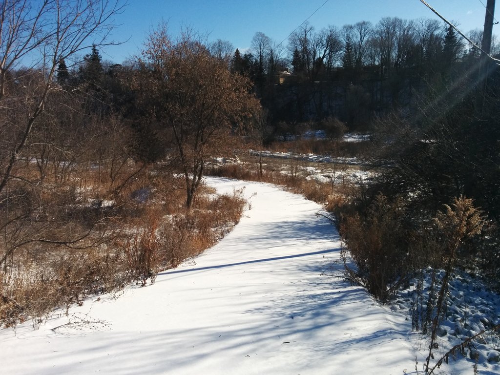
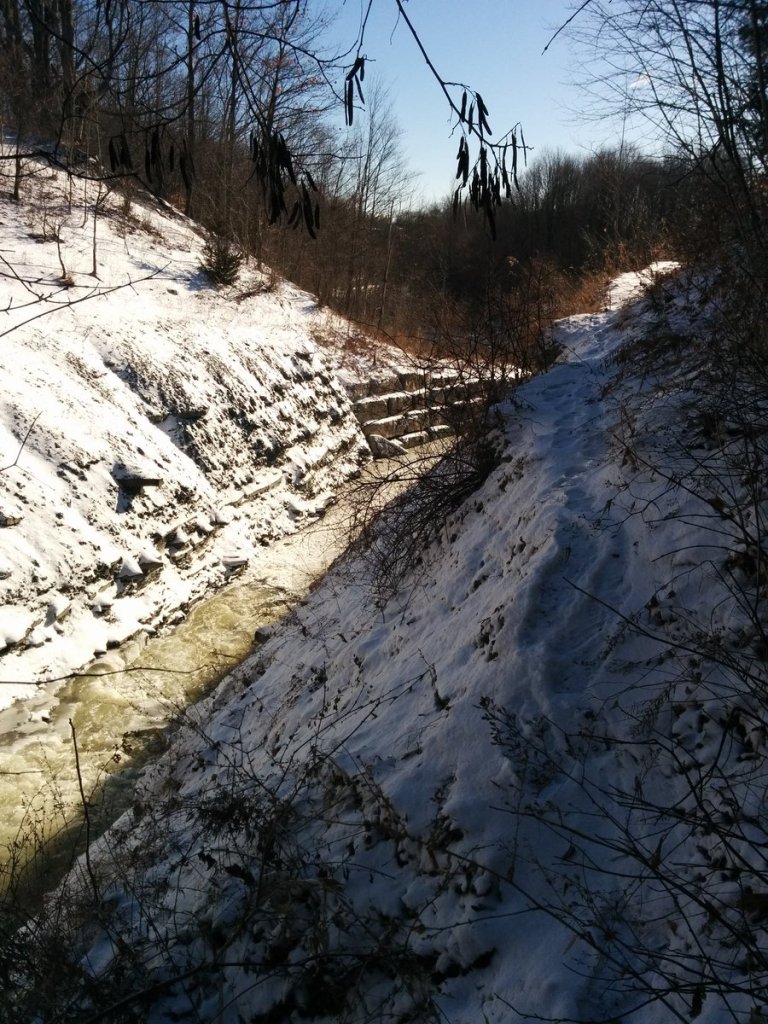
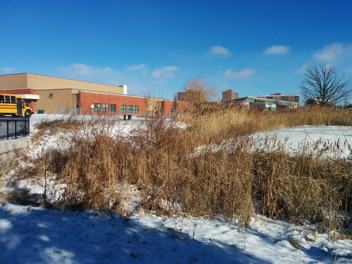
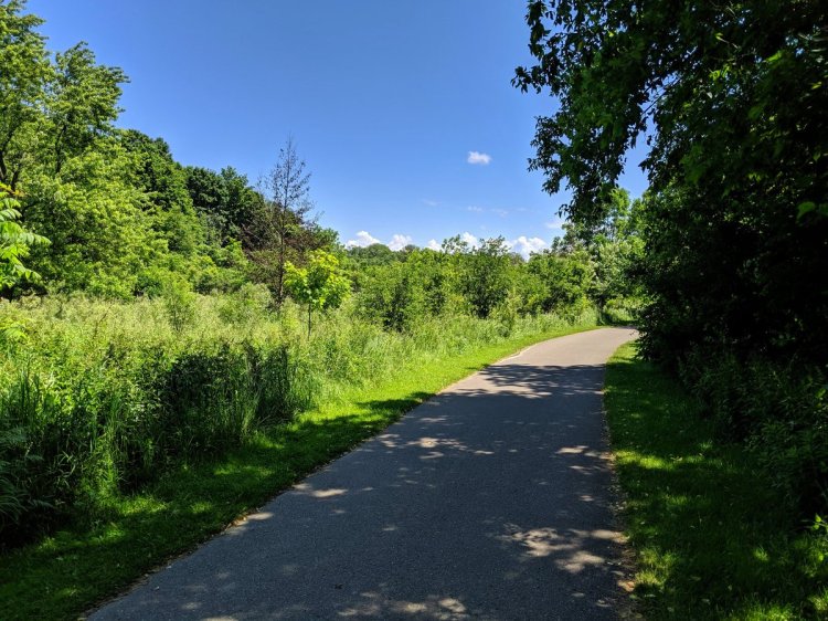
Eventually, there is a pathway adjacent to Albion Creek. But it goes less than 50 metres to Kipling, and then the creek is buried under the Albion Centre. It re-emerges north of Finch.


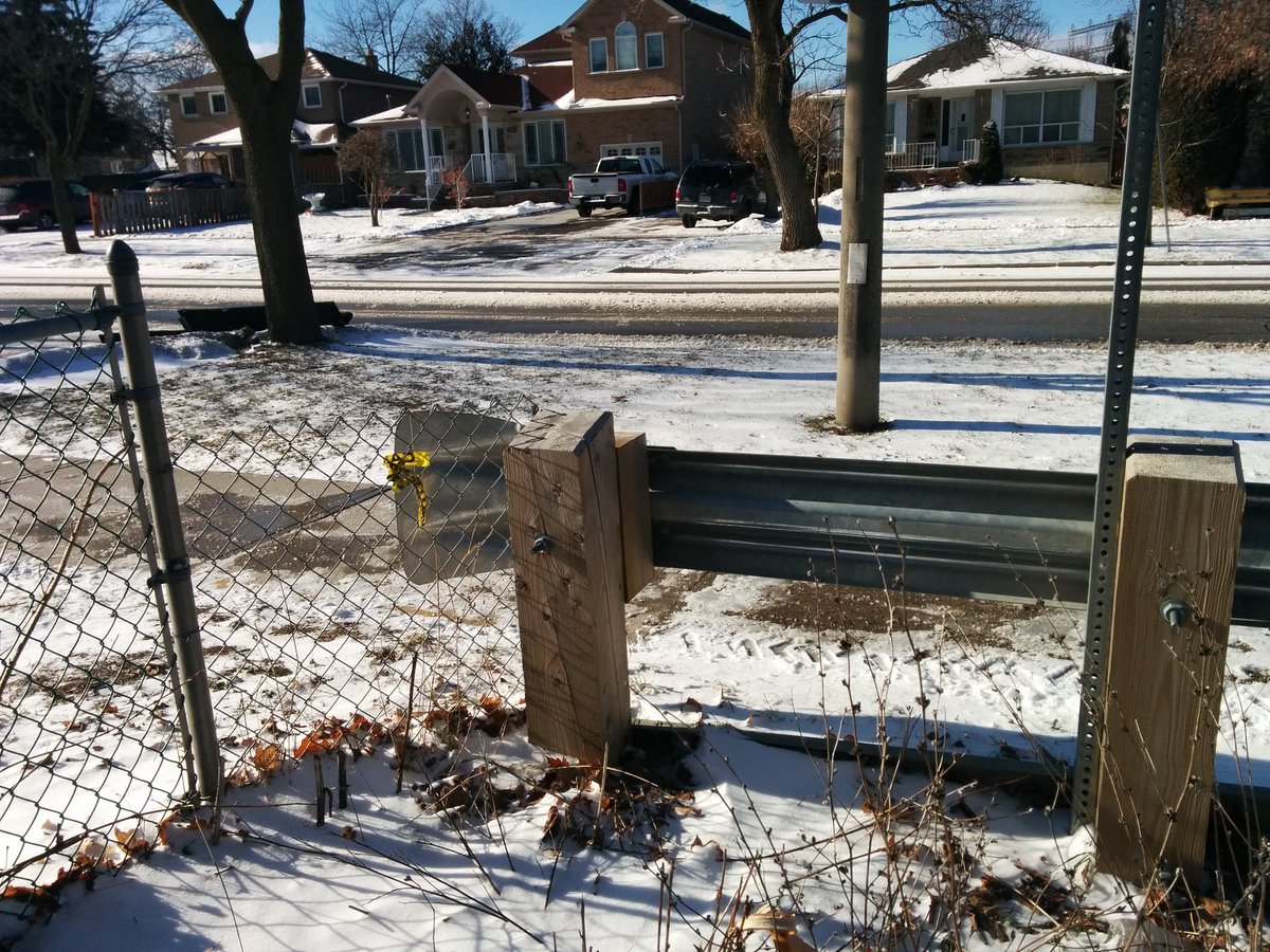
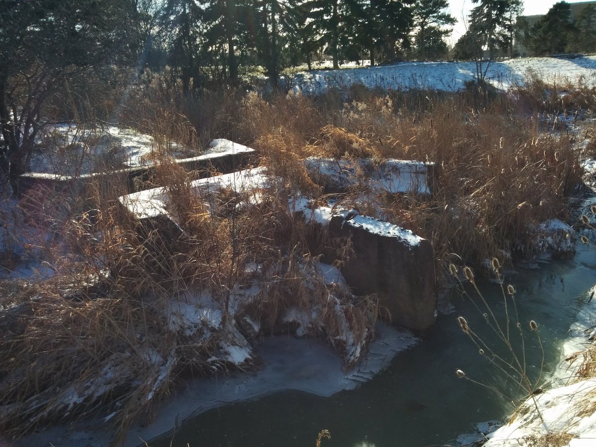
Stormwater management trenches. Bridge/culvert hybrids. Crosswalks. Semi-progressive measures, but pretty damn good for a little creek.


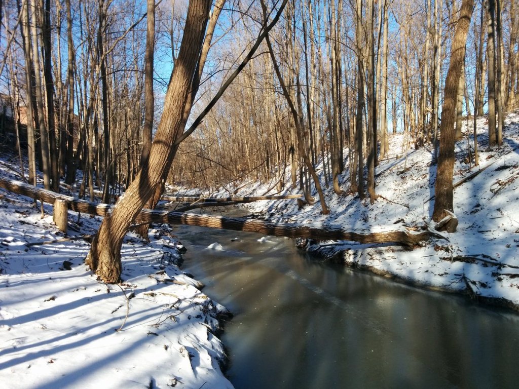
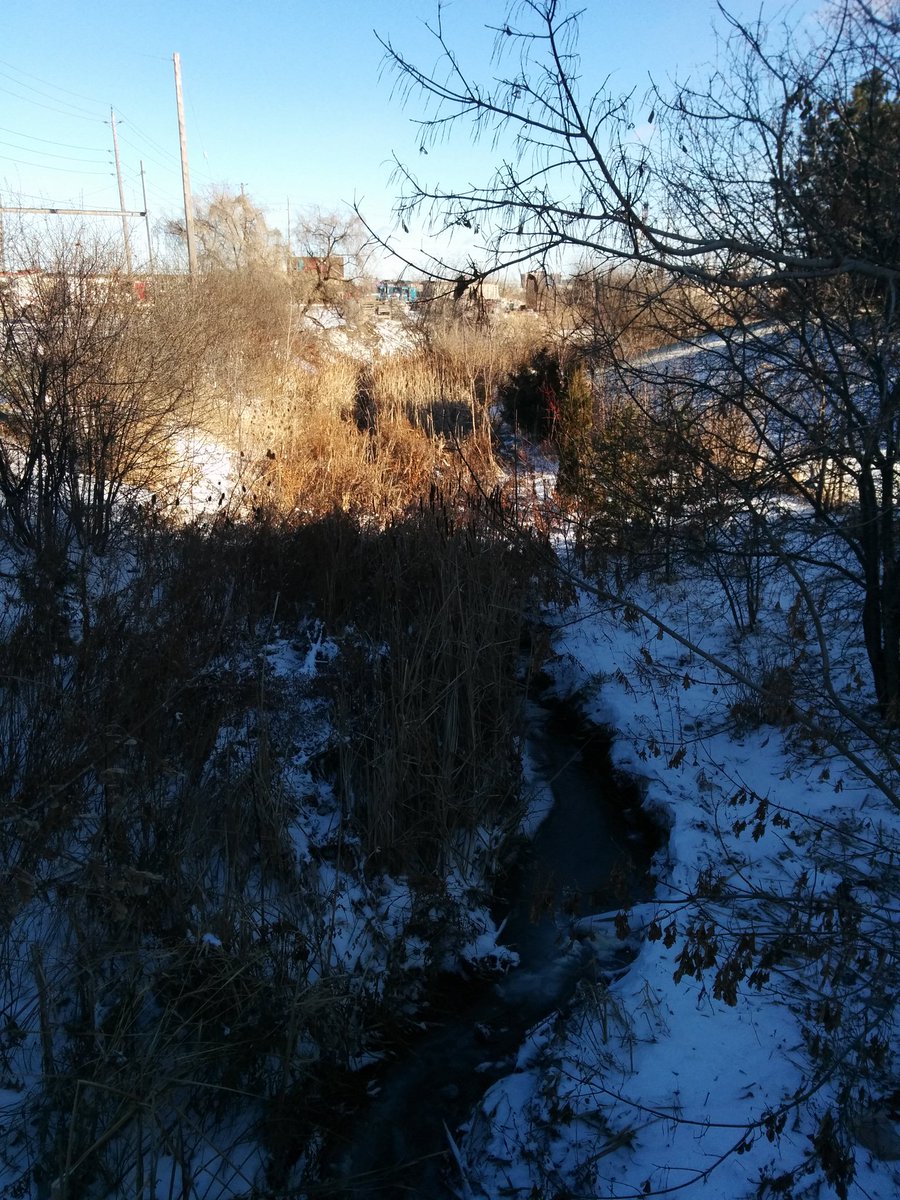
You get hopeful that the walk will continue uninterrupted. Then you see this. Then it gets overgrown again.


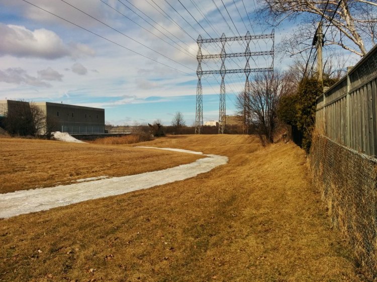
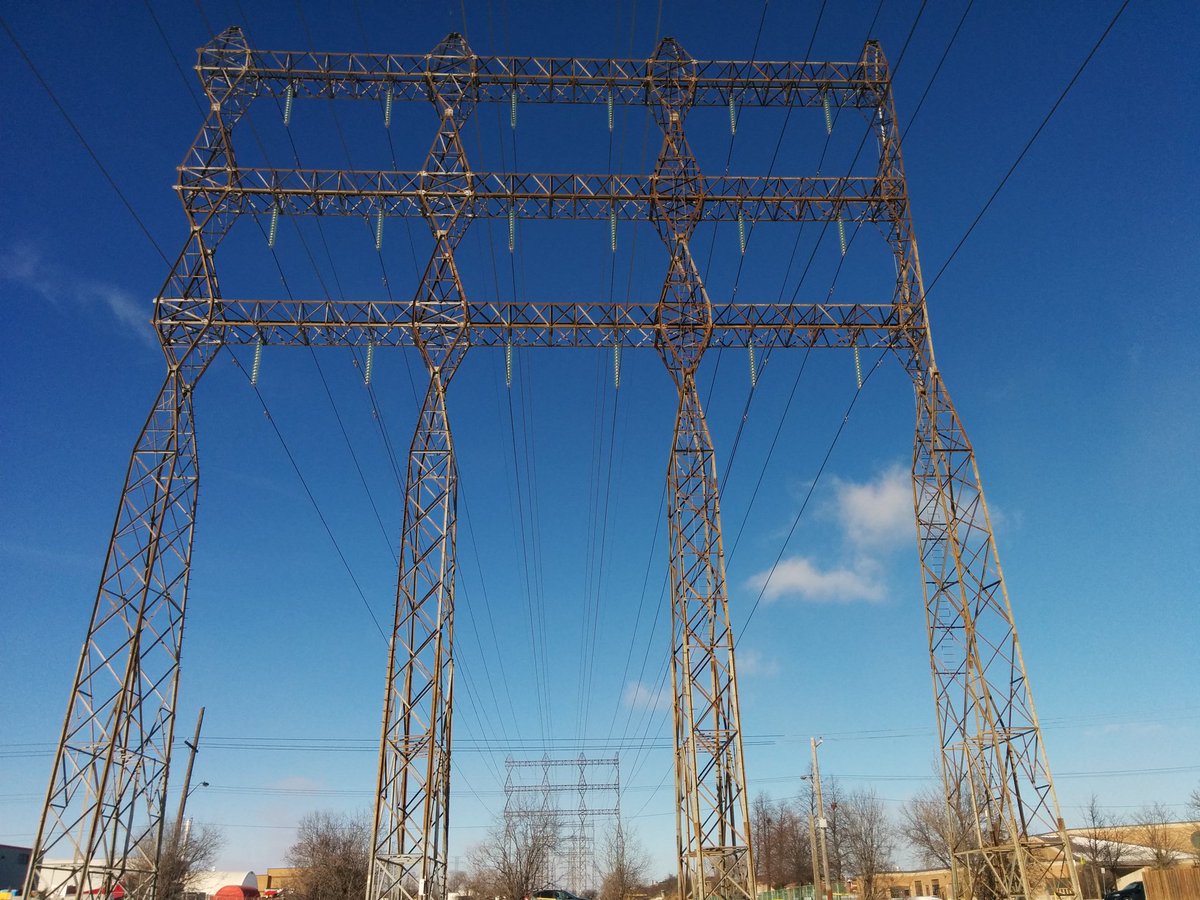
Hydro corridor. Still no access here, very channelized. A little weir is actually making a bit of foam, which freezes. Weird.

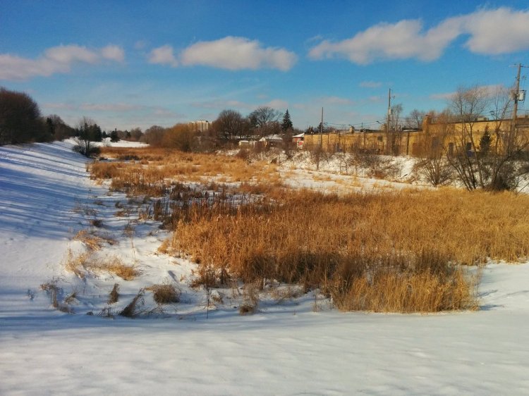
Eventually, Albion Creek meets Highway 27. It ducks under to a cemetery, where there is a damaged water control structure. It results in a wetland, but probably not the pond the cemetery envisioned.


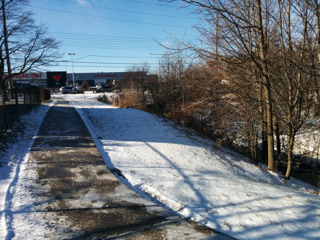
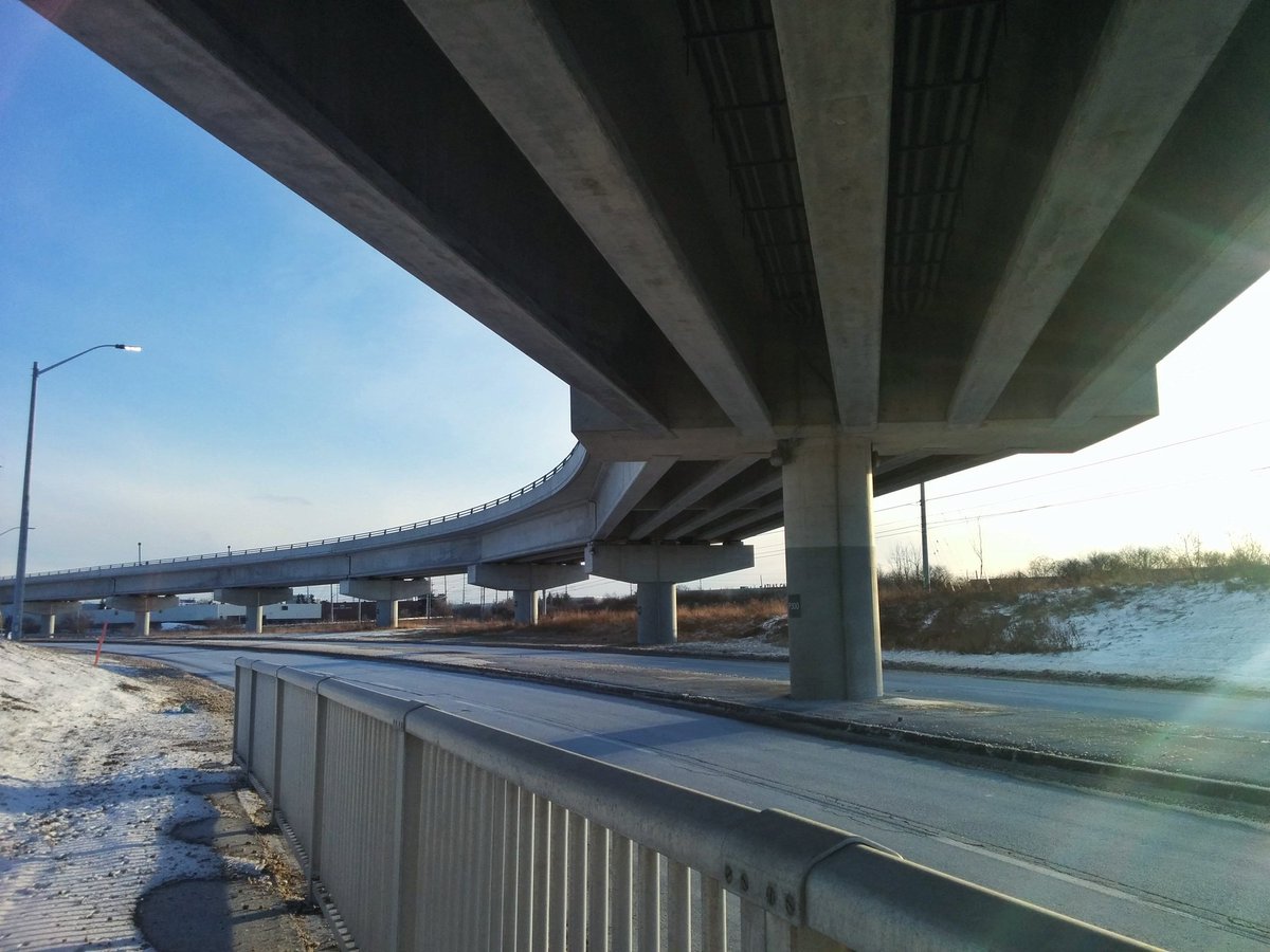
Albion Creek parallels the top end of Carrier Drive, and then turns north. Beyond here, it goes under a freight rail corridor, and through the 407/427 interchange. That ends this pursuit.

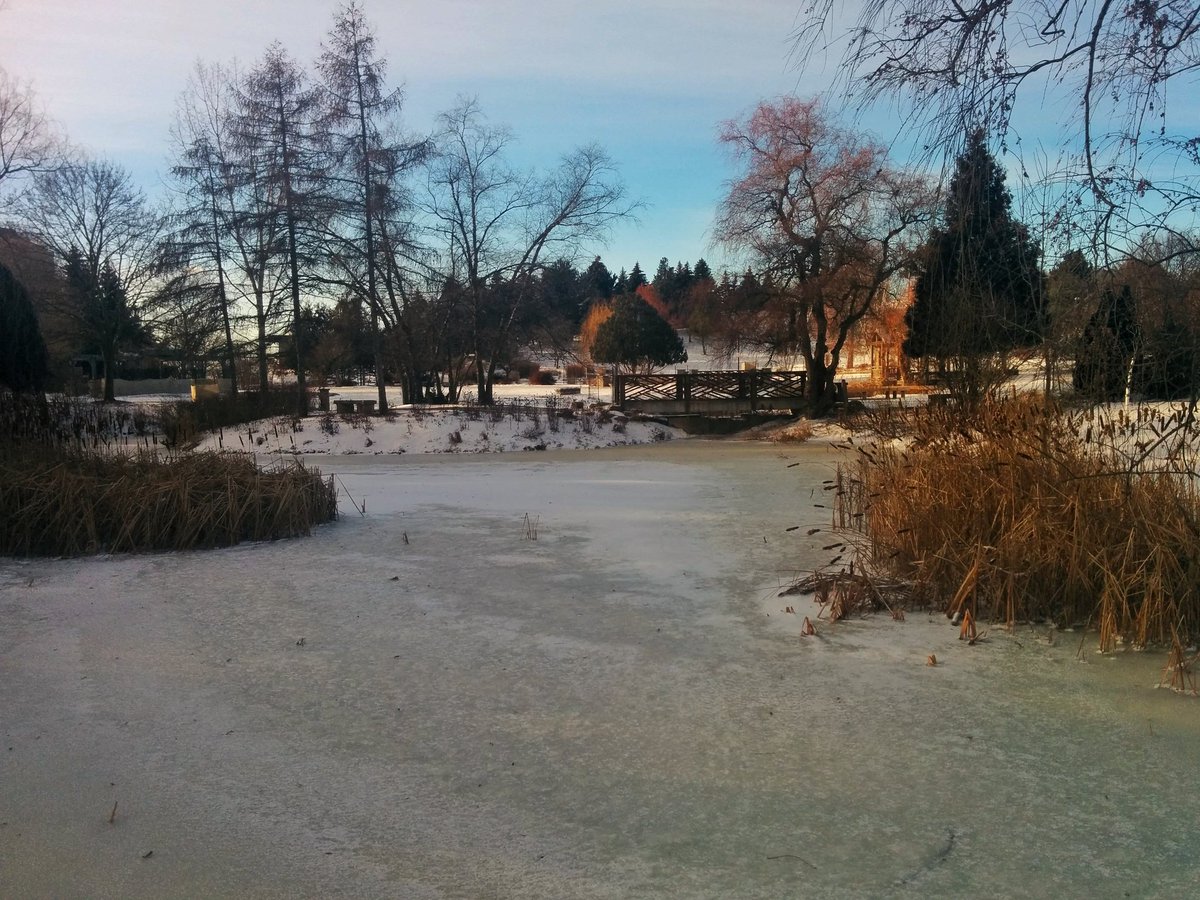
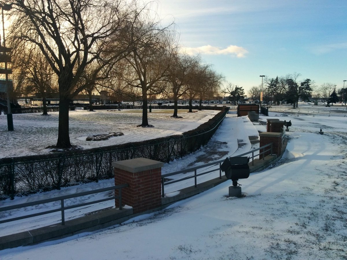
Continuing south again. Will have to revisit Humber Arboretum in warmer weather. Also meeting the West Humber again.
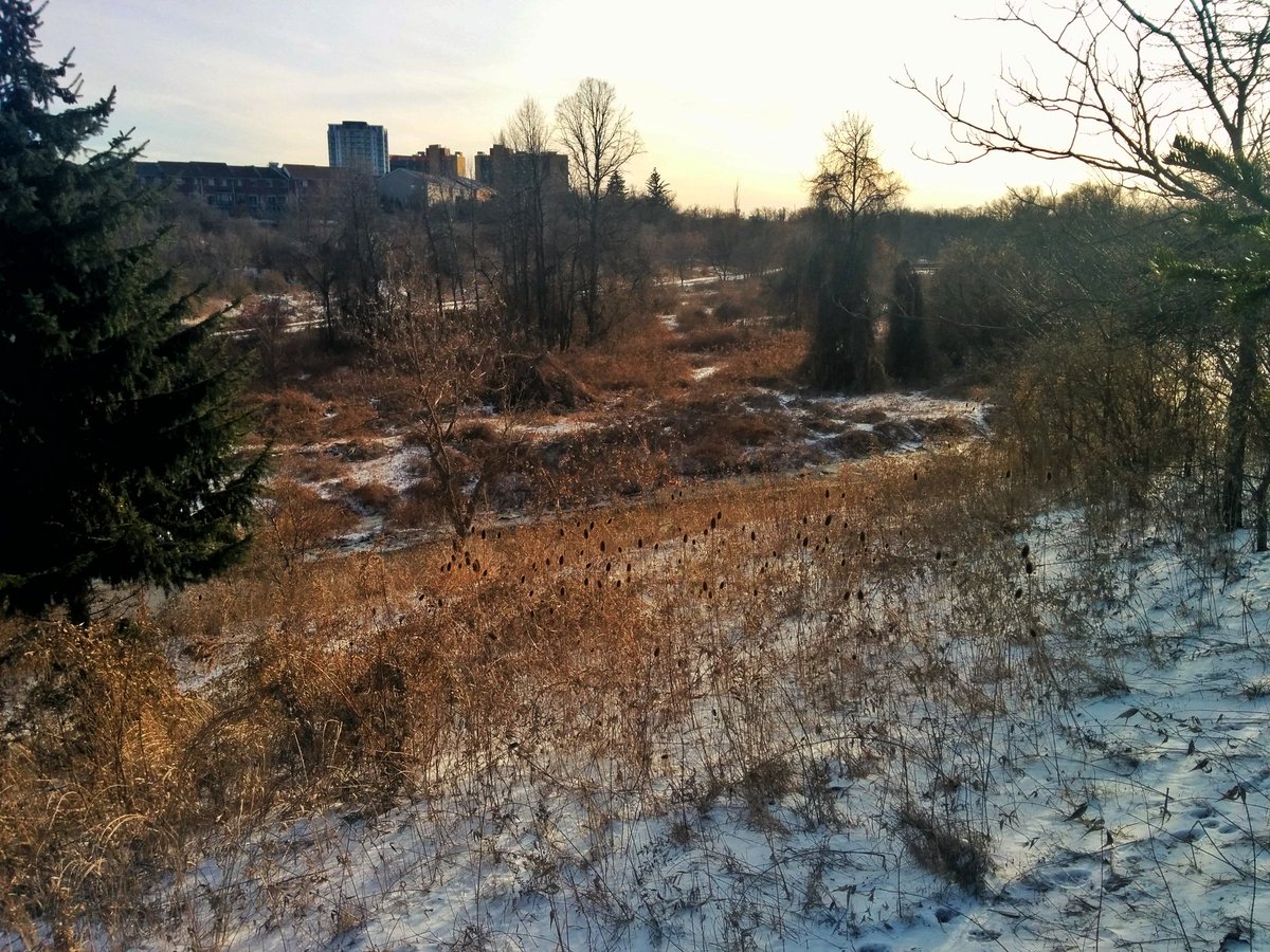

A wander through no man’s land until reaching upper Mimico Creek. Only a passing shot.


Date: January 13, 2018
Length: 16.4 km
Type: Riverine
Related Walks
West Humber River upstream and downstream of the confluence
West and Main Humber
Intersecting hydro corridor
Etobicoke Spine