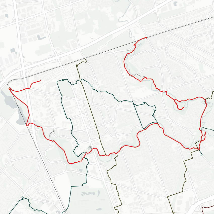
Good morning. Bright sunny day for a walk. I’ll be starting beyond the northwest corner of the city, following the West Humber from the Claireville Reservoir to its confluence with the main Humber. From there I’ll follow the main branch north. Let’s go.
I gotta walk from where the Steeles West bus ends, and then I’m confronted by an unnecessary fence. Eventually I get around and onto Indian Line, which looks like it hasn’t been touched much since it was paved years ago.


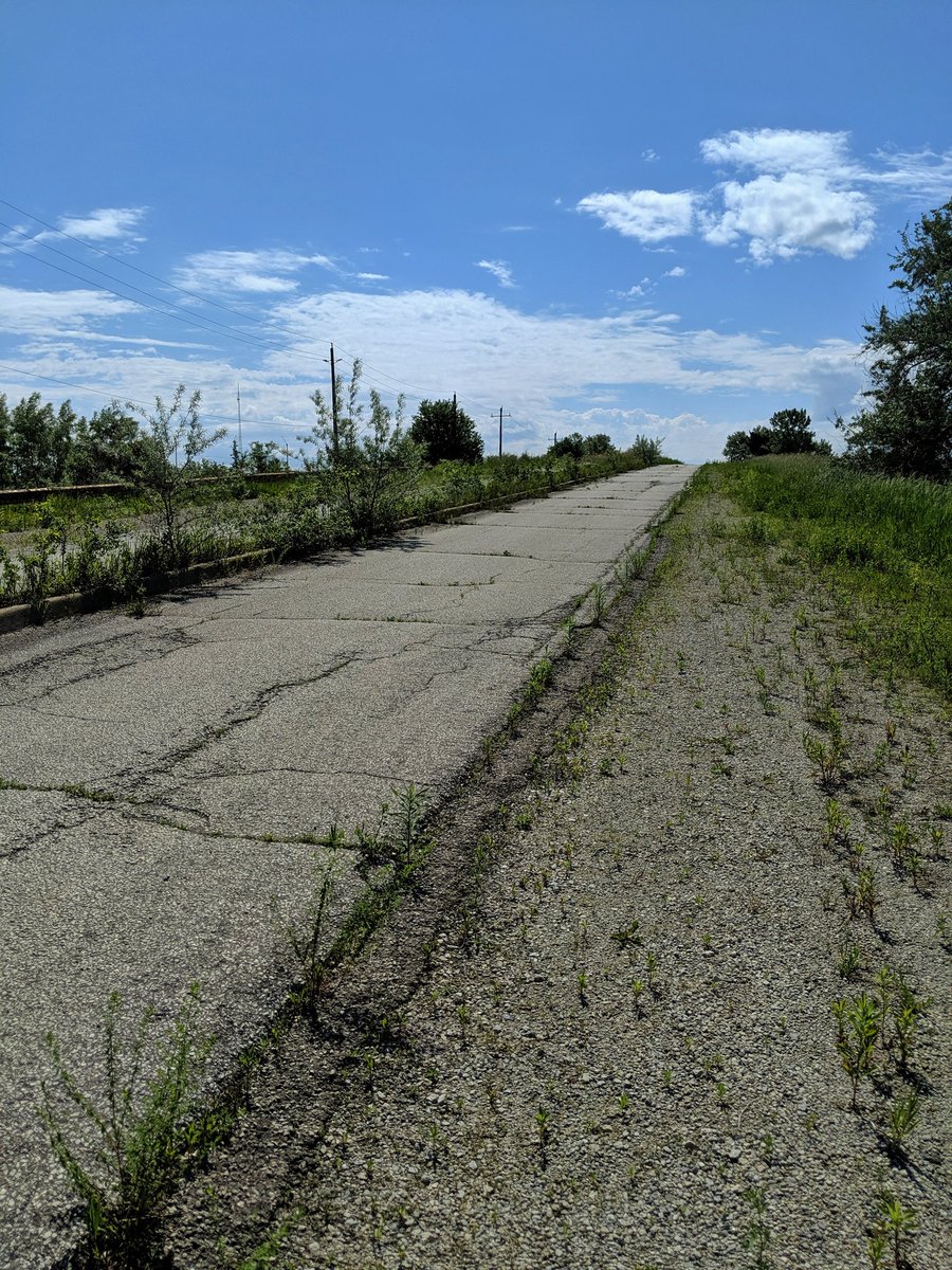
The bridge over CN Railway’s main east-west mainline through the GTA provides the first glimpses of the Claireville Conservation Area. Some more abandoned road to cover though, flanked by the 427 and rich conservation lands.


Metro lives on in spirit.
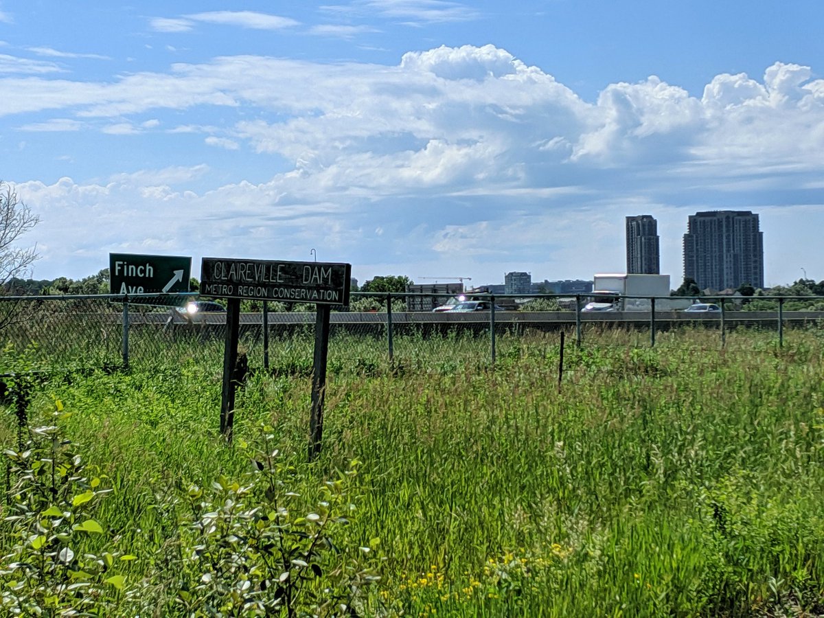
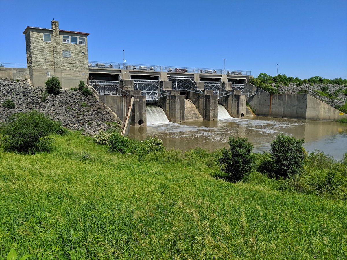
The Claireville Dam, which regulates how much water flows down into the lower West Humber. A lovely structure, with its good and bad impacts on the river.

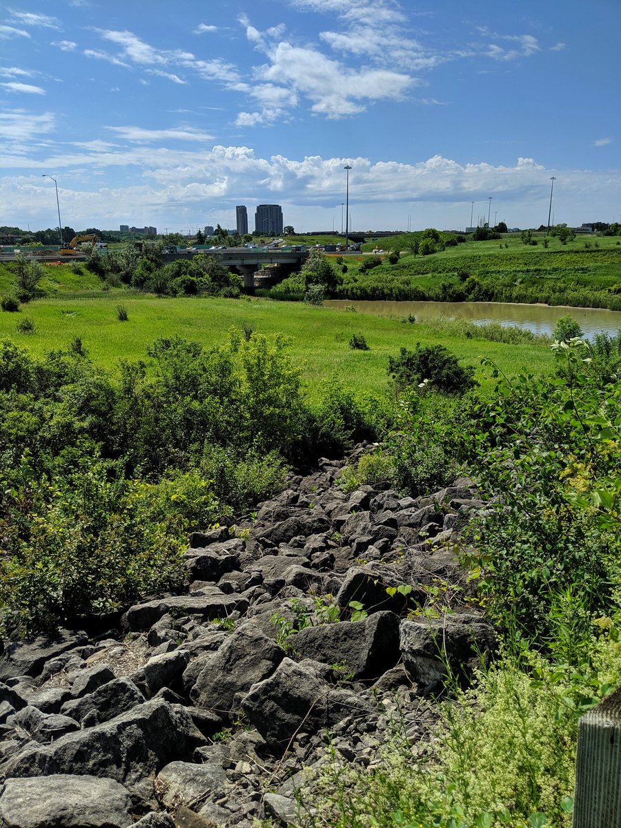


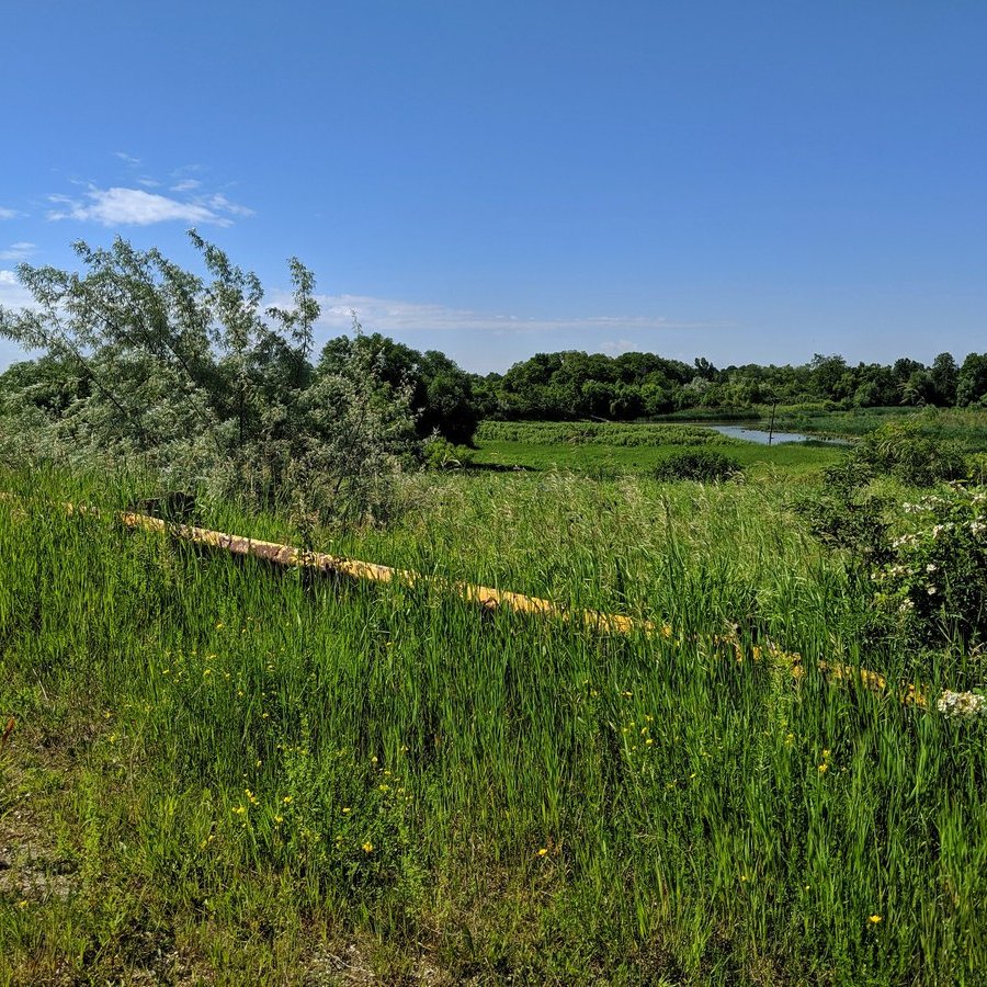
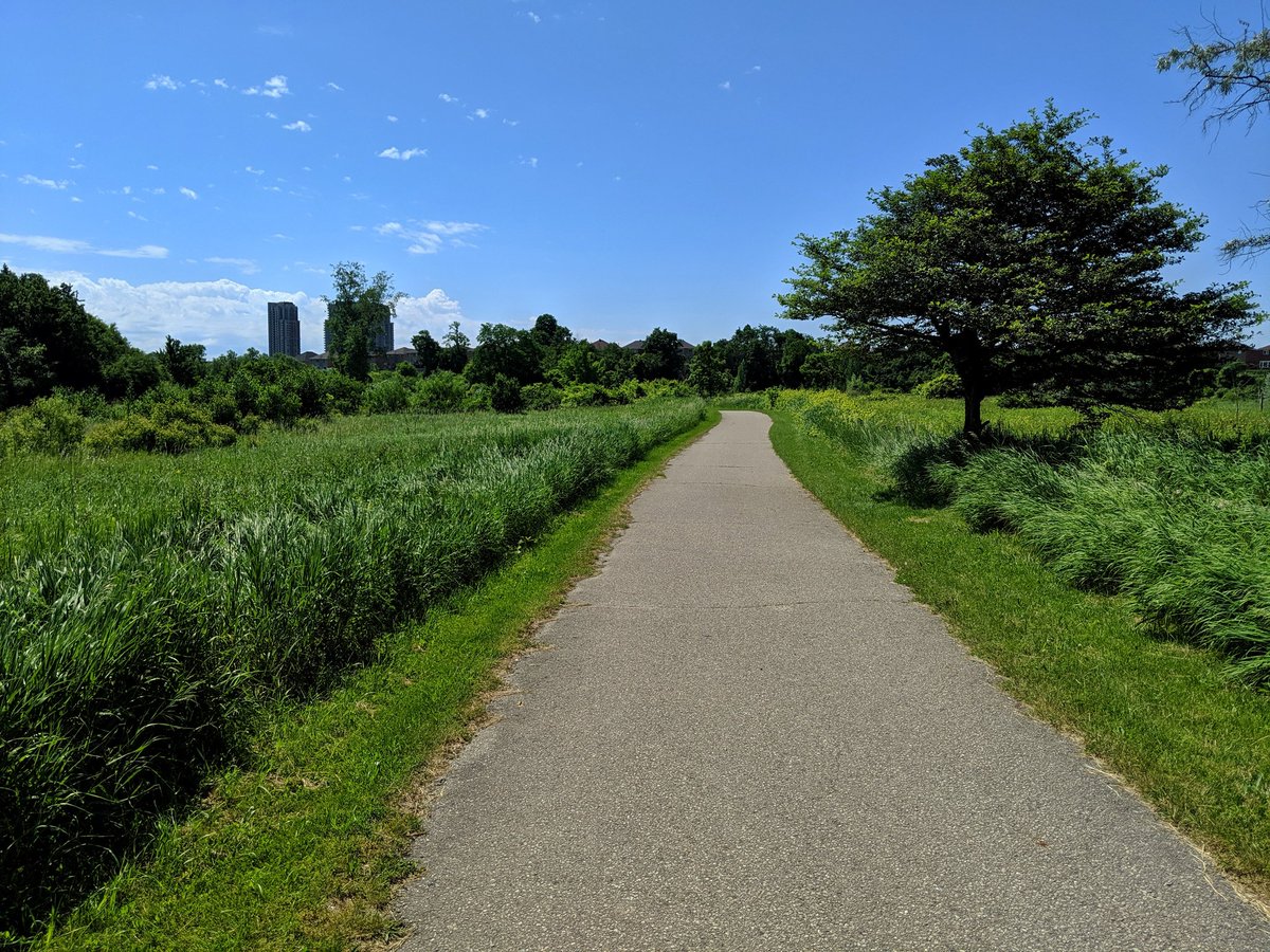
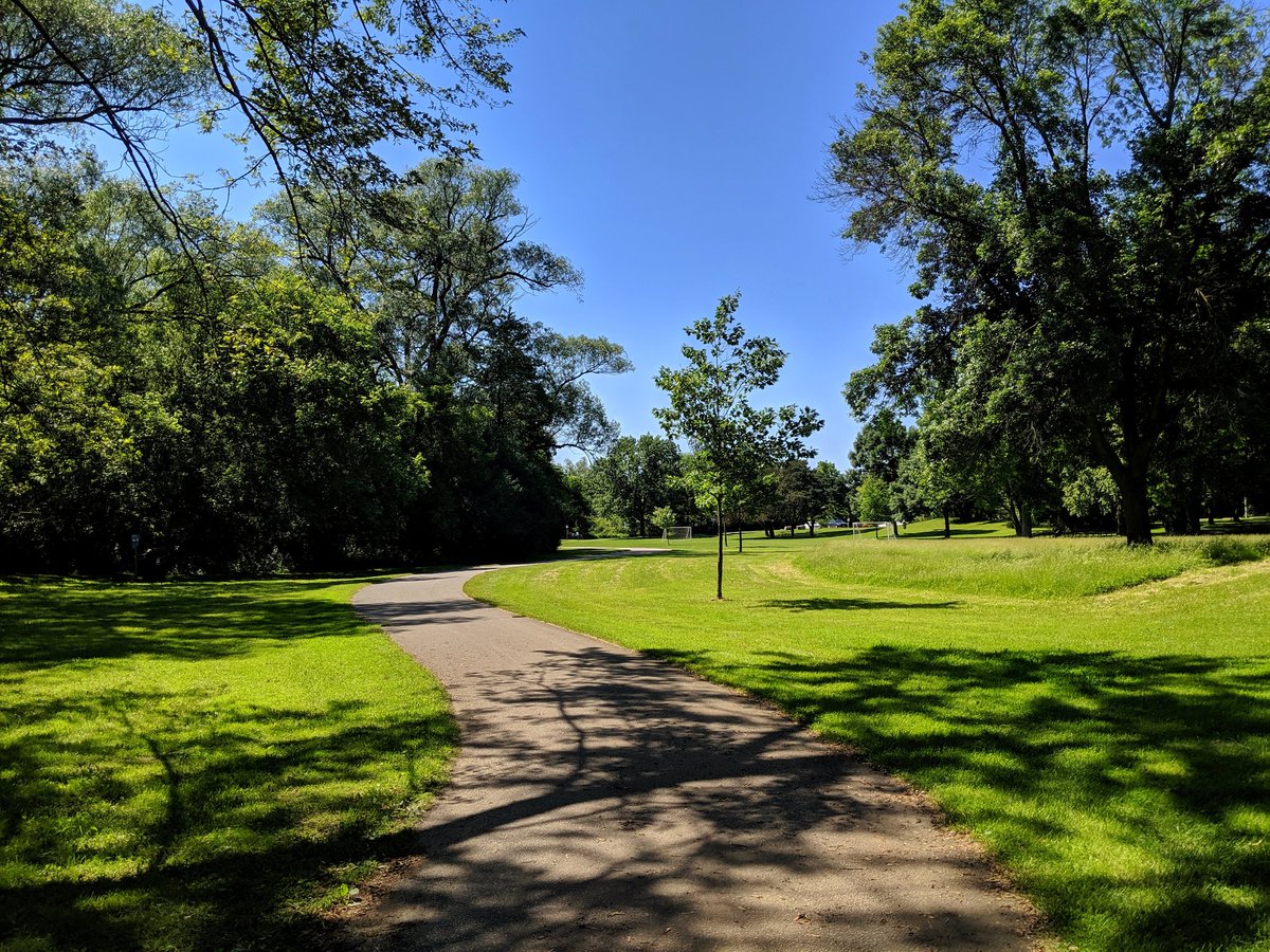
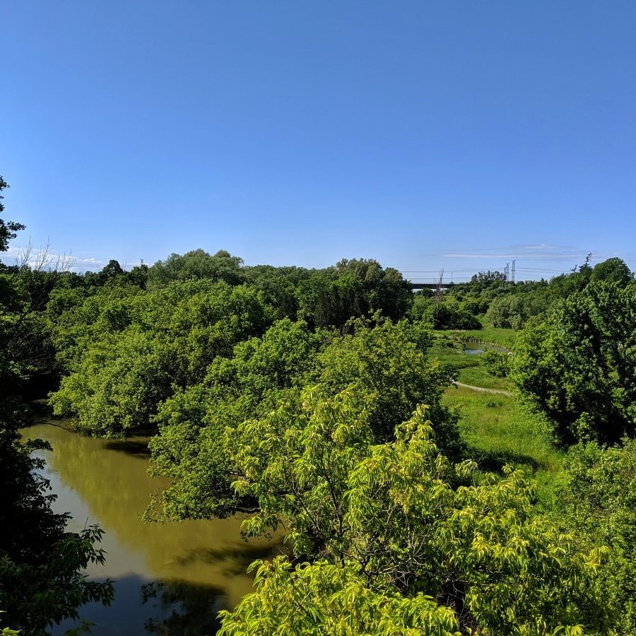
Past the dam and under the highway, into Toronto proper. Large swaths of meadow, wetland and riparian habitat here make it a lush area.


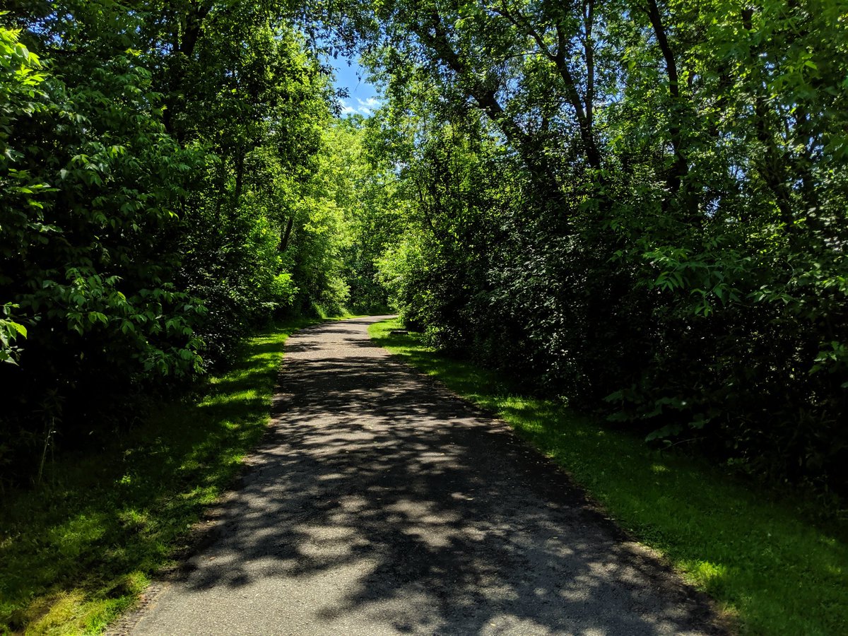
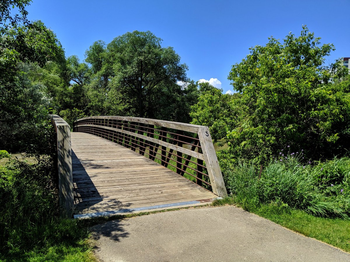
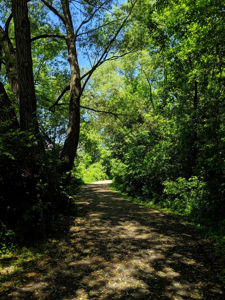
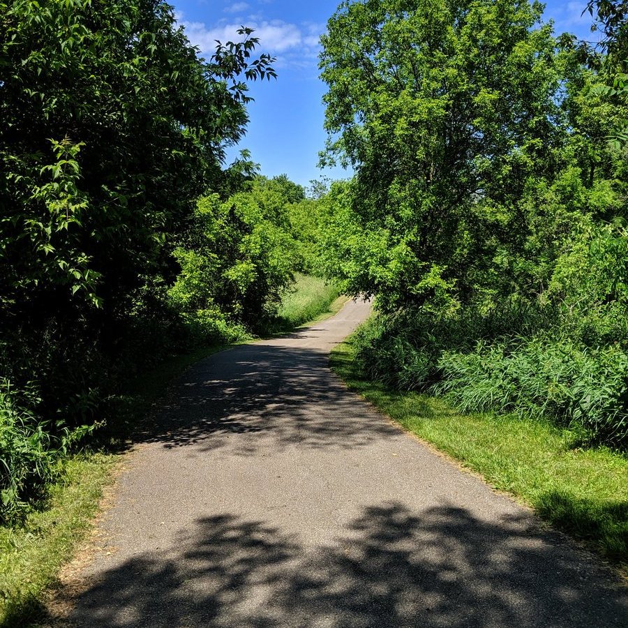
A high quality trail here. Grade-separated by bridges, shaded by lots of mature trees. We need more of these, and we need to plan them as 21st-century transportation corridors.


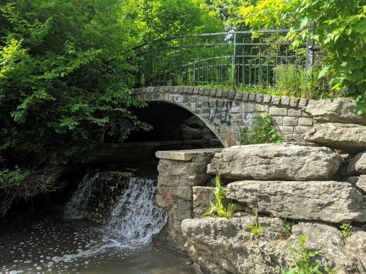
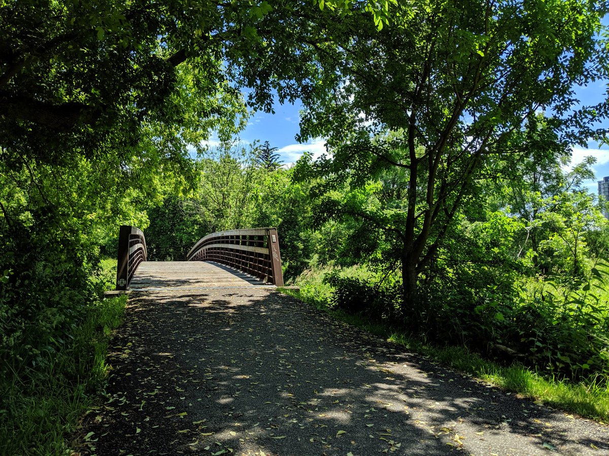
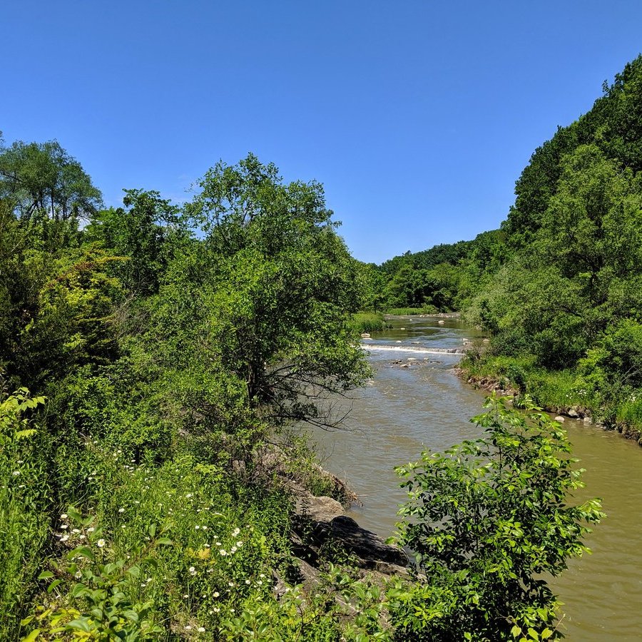
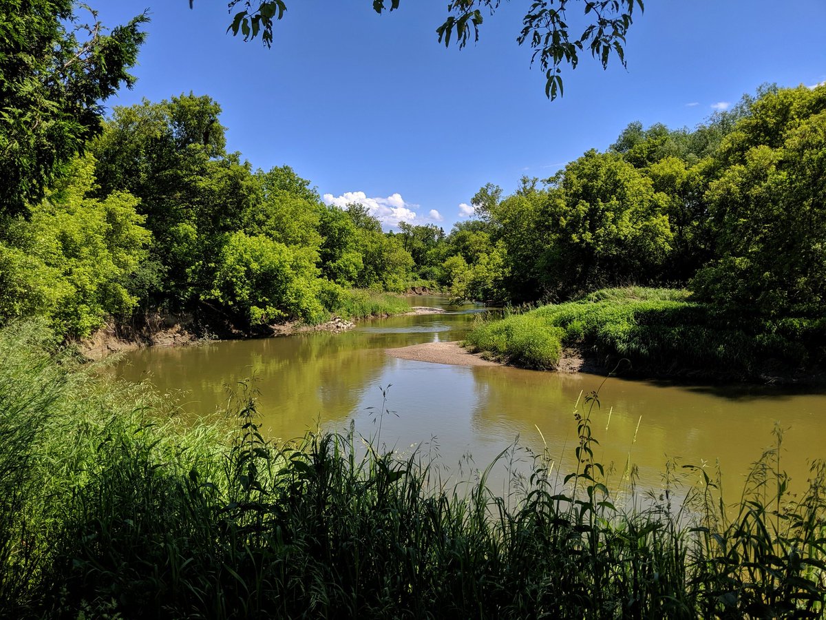
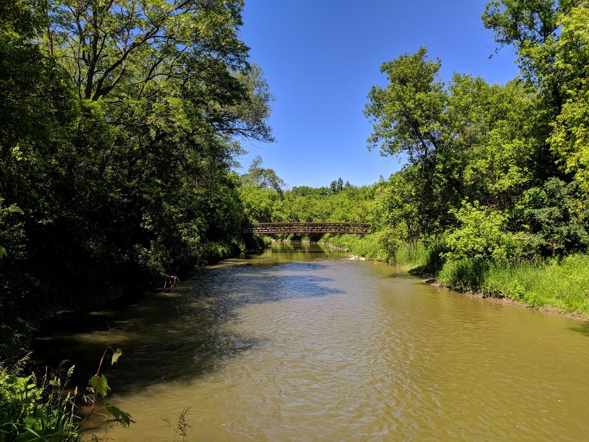
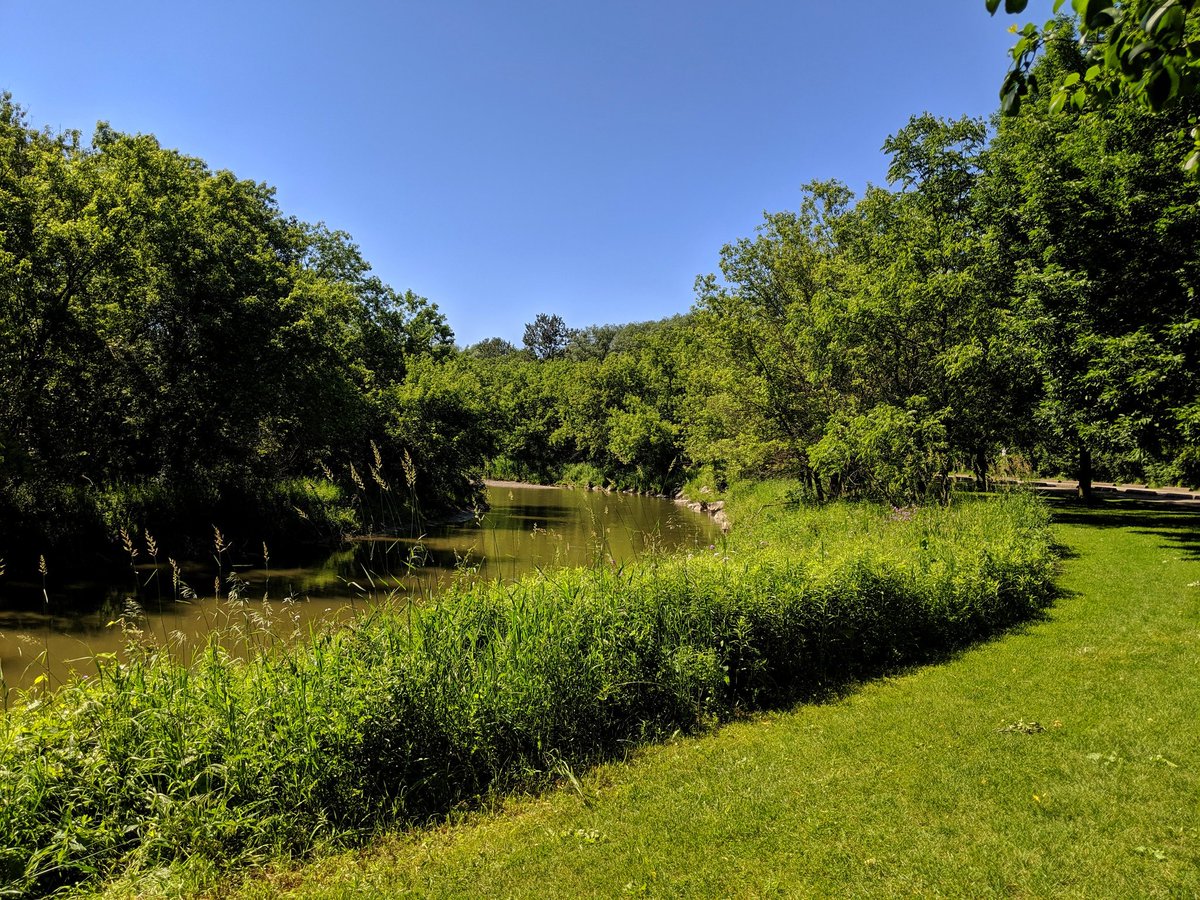
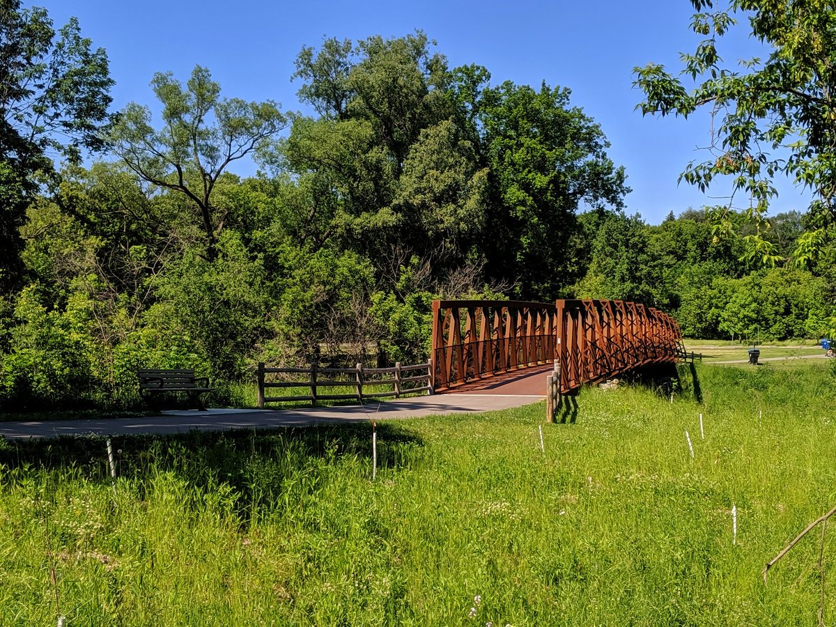
Rustic bridges. River views.

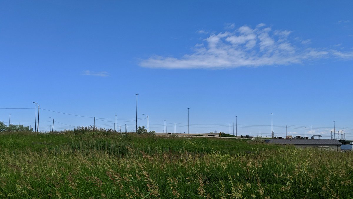
Past the Humber Arboretum, I lose my tree cover. And I can see the pollen raining down on me. Fortunately walking conditions improve east of Martin Grove again, as the shade returns.


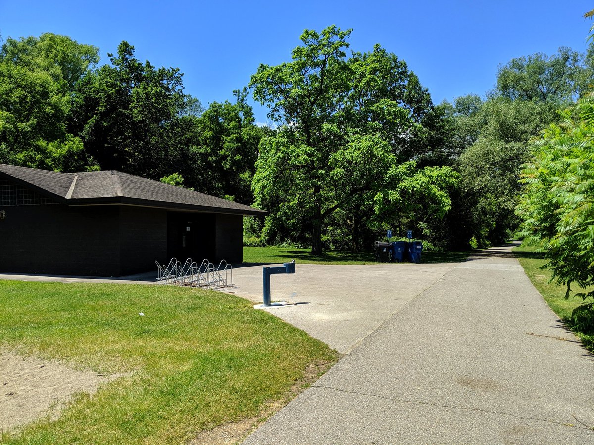
Another essential to a high quality trail: public washrooms. These can provide relief too, in an anxiety-reducing kind of way. You usually find them in recreation parks, but they’re exceedingly rare along ravine trails.
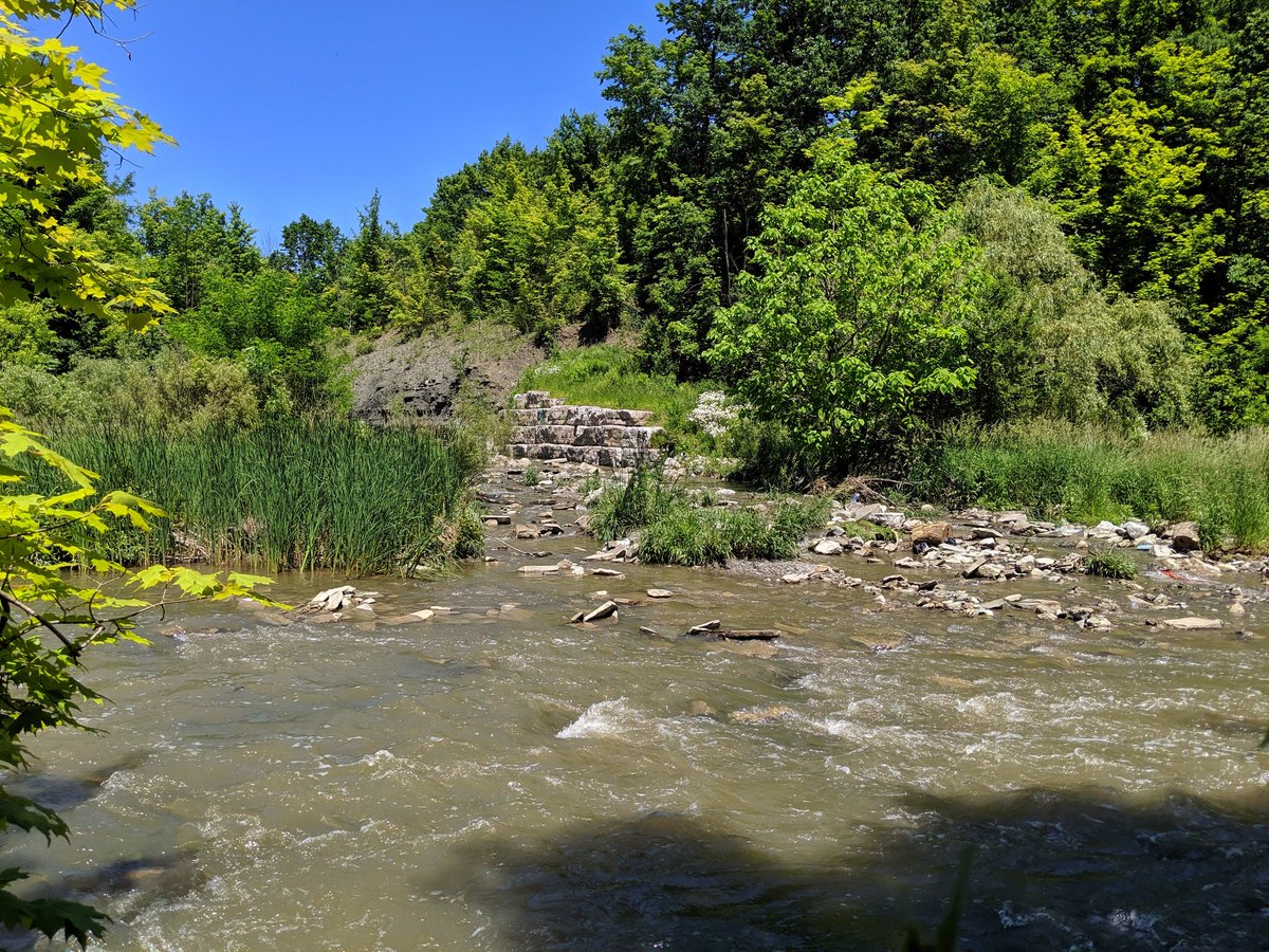
In and out of the shade some more. Past the West Humber’s confluence with Albion Creek, where lots of shale is exposed.

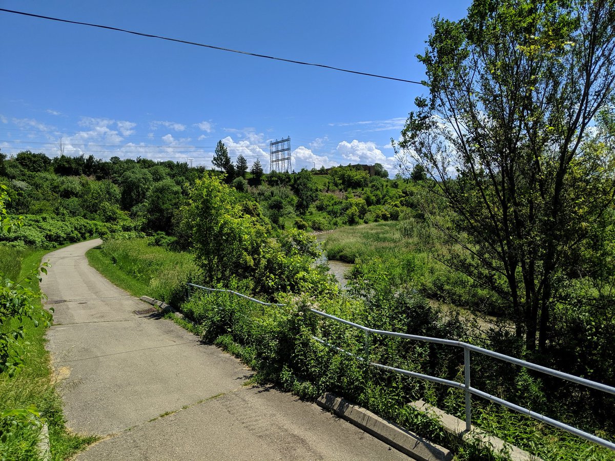
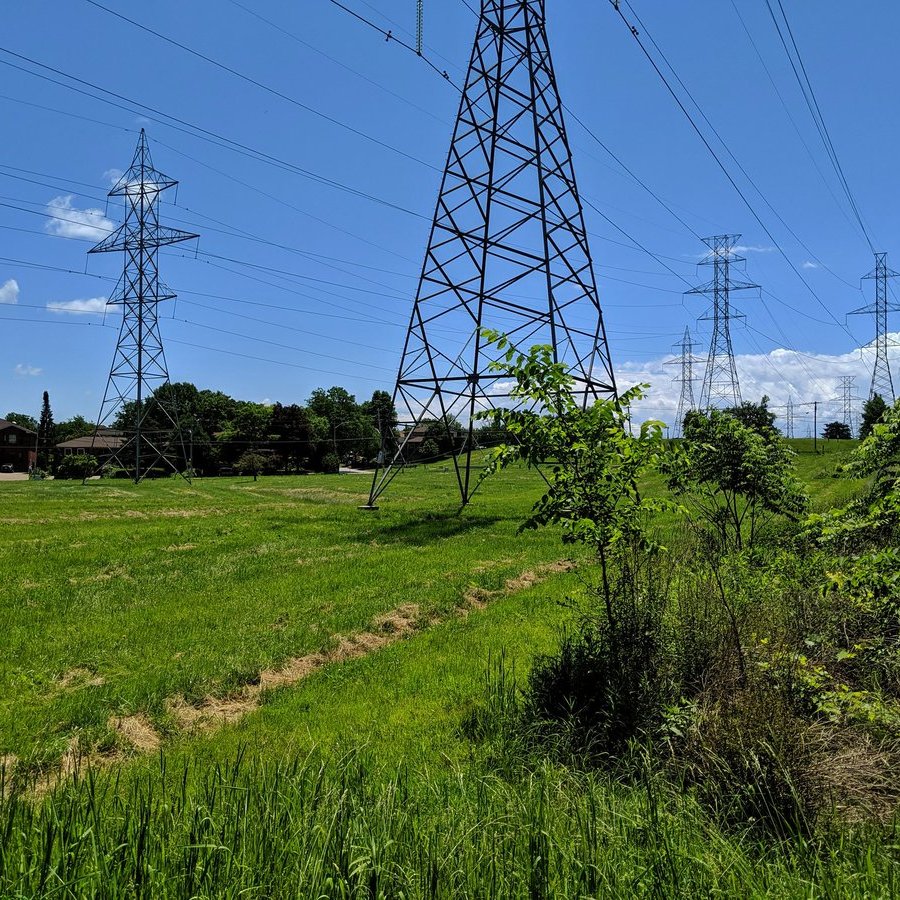
More half and half until you approach the confluence of the Humber’s west and main branches. Also happens to be an intersection with the Humber-Pearson hydro corridor.


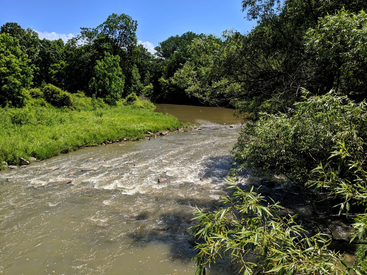
Confluence. I didn’t manage to get this shot the last time I walked the Humber. After that, we backtrack to cross the west branch and head north.


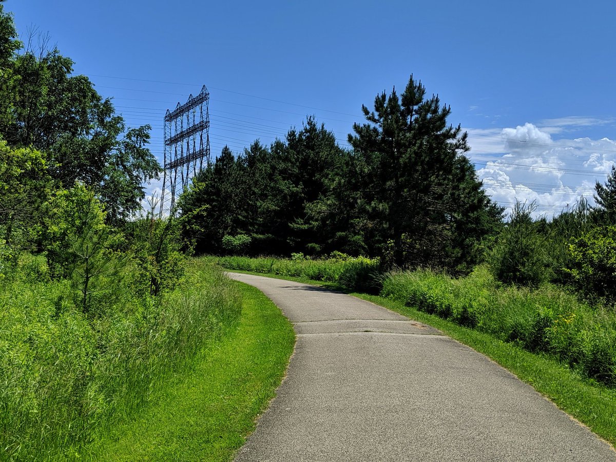
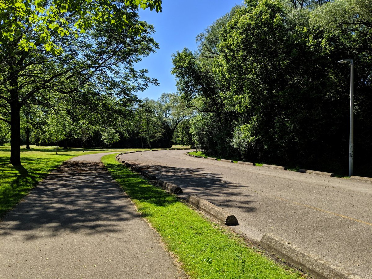
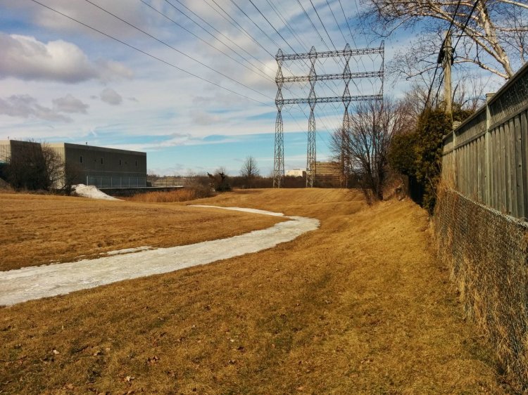
Through the hydro corridor, and past the Emery Creek stormwater ponds. Emery Creek may be subject to a future walk exploring some Humber tributaries. For for now, I march on. Despite some mature growth, it’s not in the right areas, so shade breaks are few.


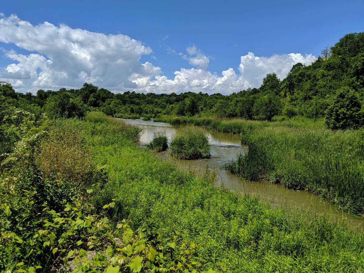
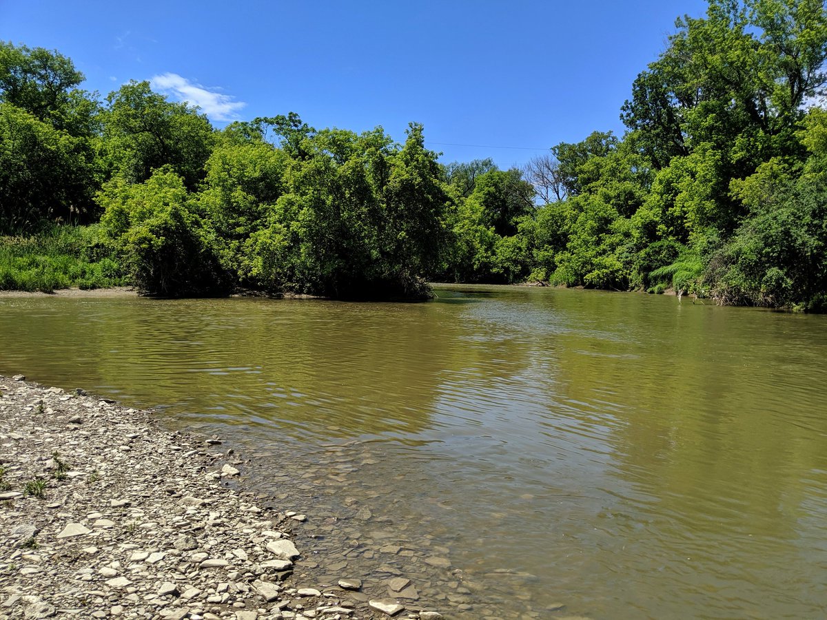
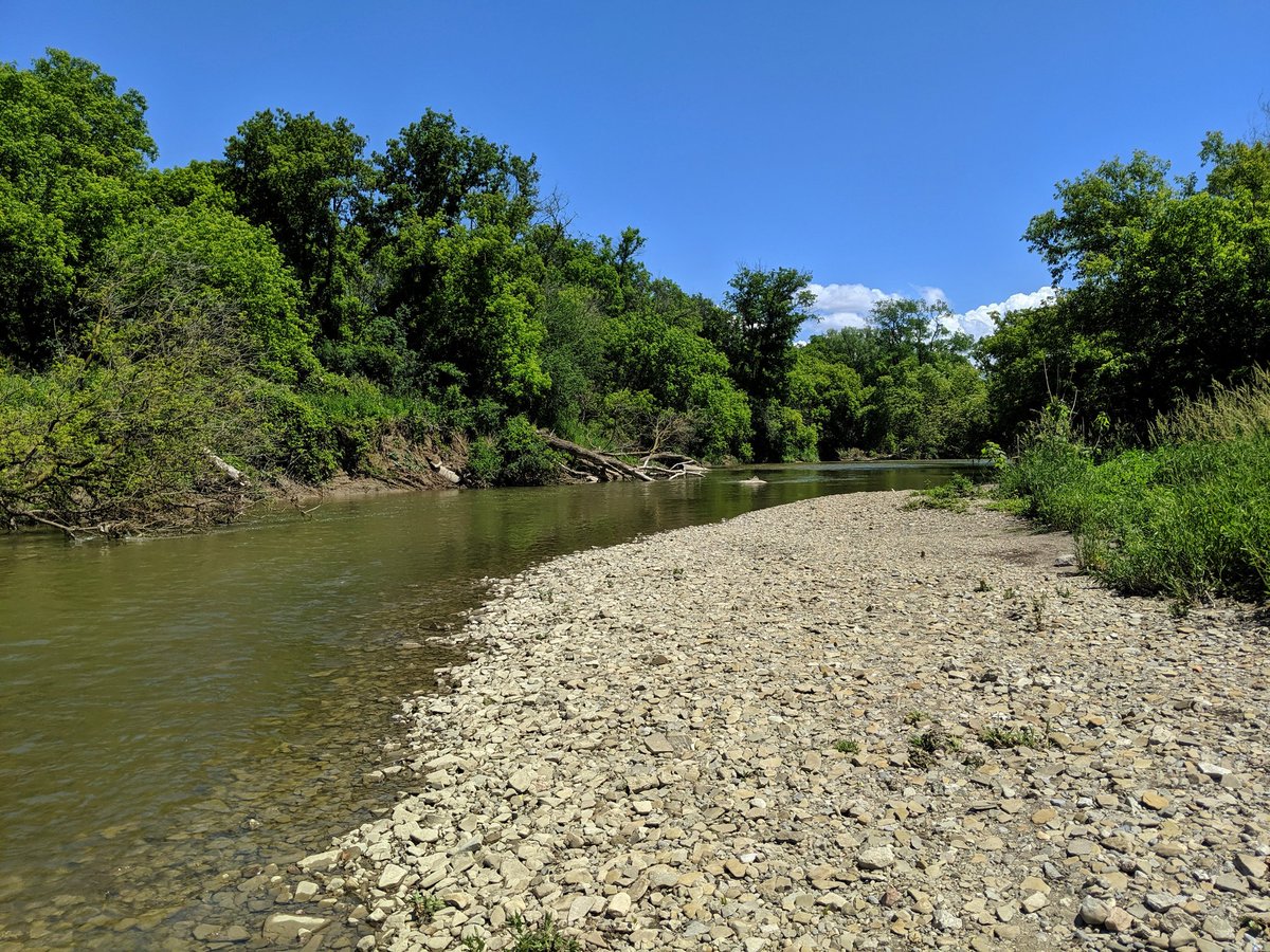
The Humber is wide and strong, and has a good meander going. So it’s no surprise to find an oxbow pond along the way.


Crazy contrasting wetland vegetation.

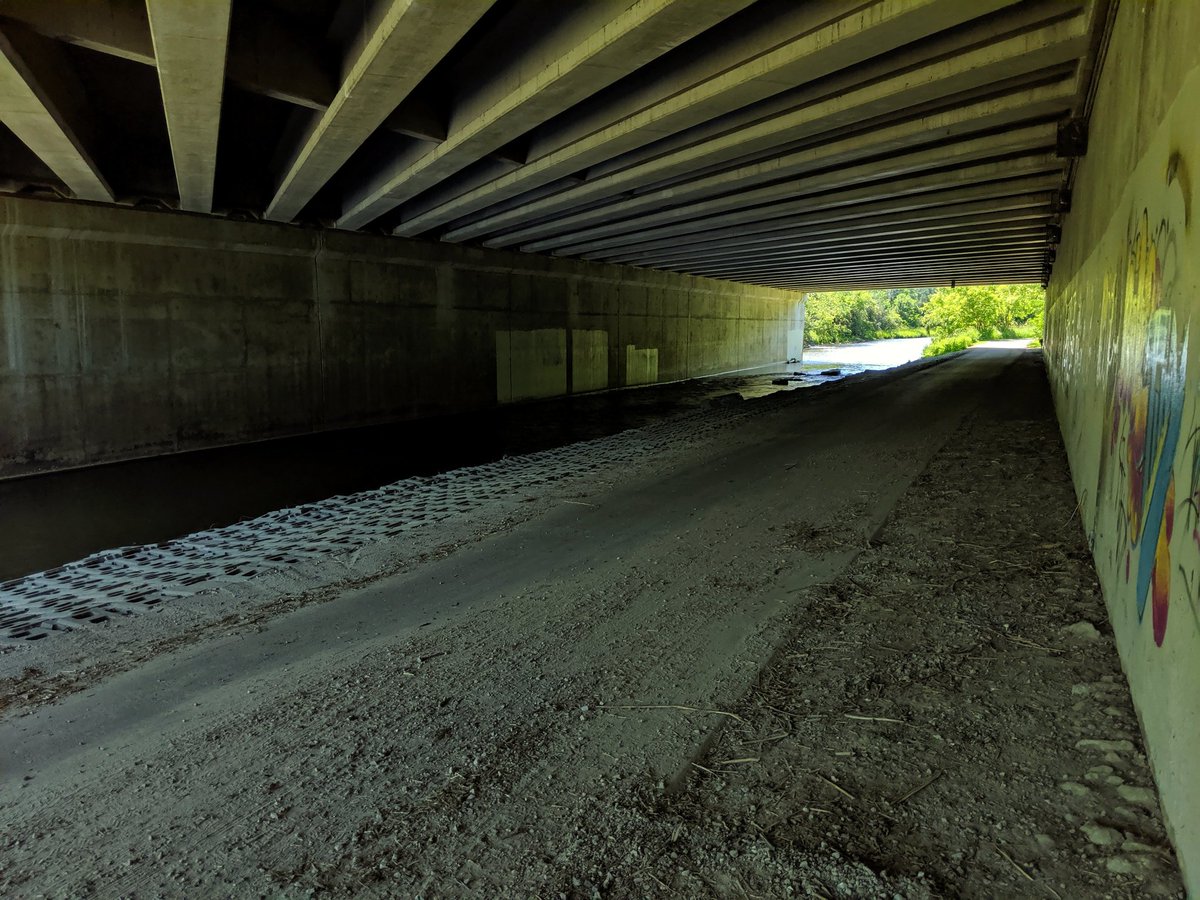
The Humber goes under the intersection of two major arterials. Mimico under Islington/Dundas is at least one similar watercourse crossing in Toronto. Rowntree Mills Park is northwest. Can confirm a) it’s open, b) there’s auto access. They just don’t let people drive into heart of the park.

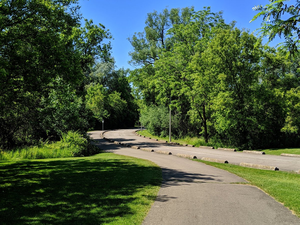
Parallel to the unused car path, until breaking off partway to cross to the west bank.

Past some familiar marking trees to the north limit of the city. This marks the end of my 6.5 hour hike.


Date: June 21, 2019
Length: 21.9 km
Type: Riverine
Related Walks

West Humber tributary to the north
Humber Tributaries II
Intersecting hydro corridor north and south
Etobicoke Spine

Lower Humber continued downstream
Lower Humber II
Intersecting hydro corridor east and west
Finch Hydro I