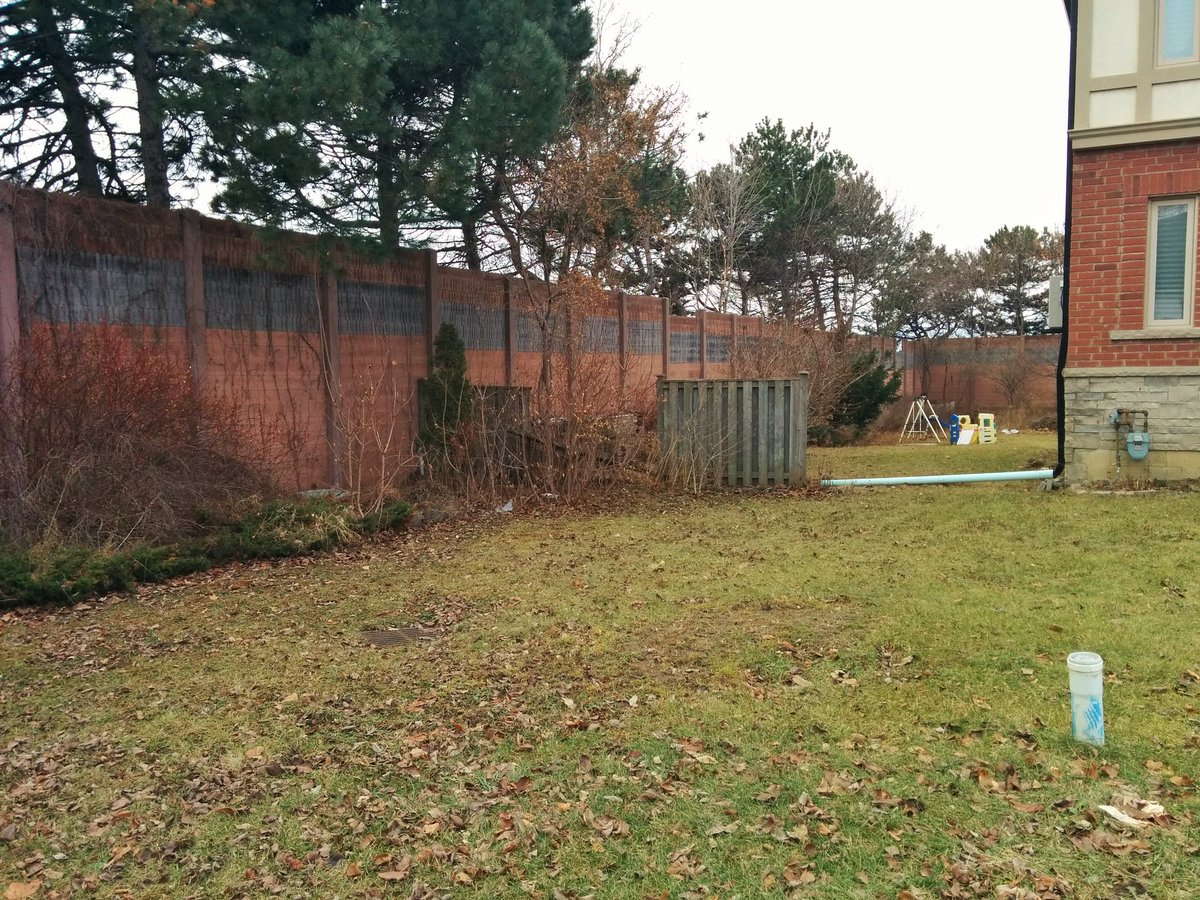
Let’s explore the 401 some more. MTO has fenced off small parcels again in some places. In others, they form backyards.

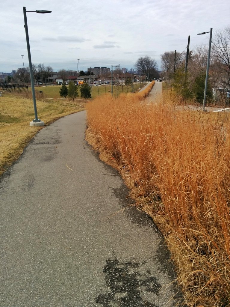
MTO has its offices overlooking the 401. Some half-decent parkland to the west, with a stormwater management pond too. Drains into a lost tributary of Black Creek.


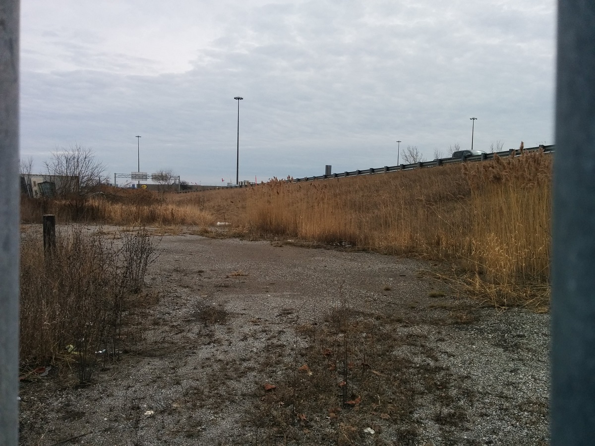
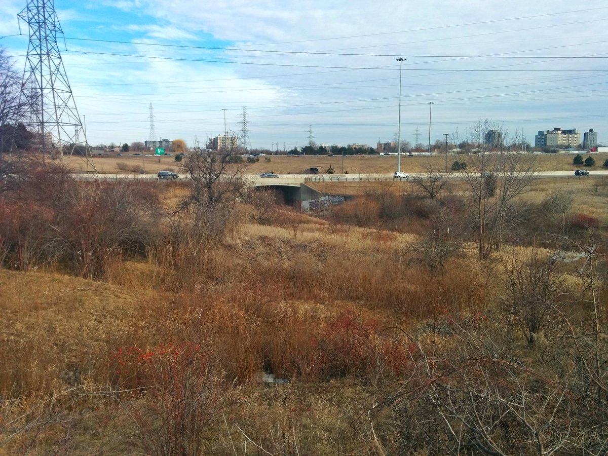
More strips of fenced off land adjacent to the wall. This time, it’s for drainage ditches beside the breadbasket. Eventually meets Black Creek.


400/401. Eats up a lot of land.


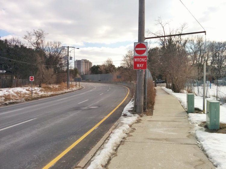
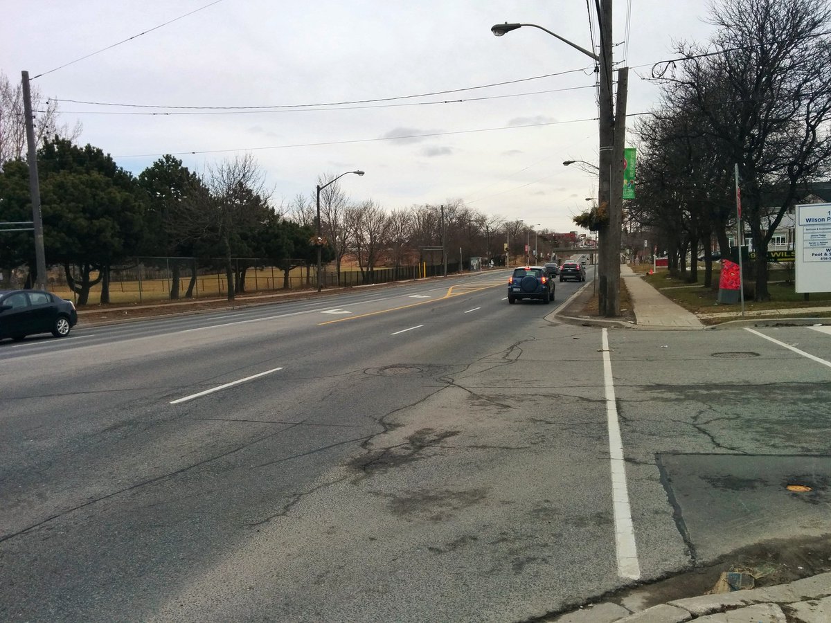
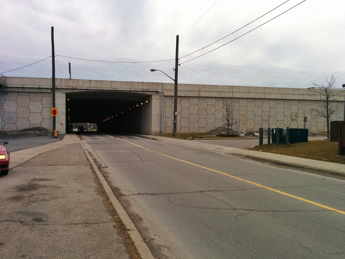
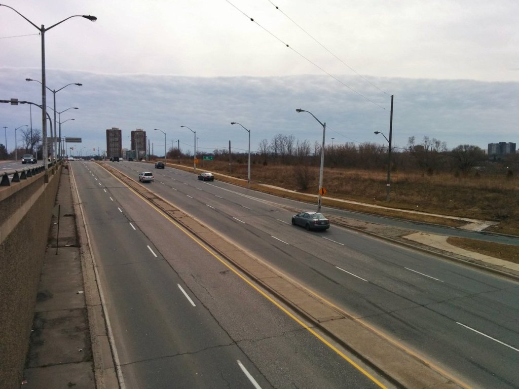
Wilson Avenue is 7 lanes here (6 + 1 bi-directional left turn). Dominated by haggard commercial to light industrial uses. But one thing going for this part of Emery Village is a local street (with sidewalks) punching under the 401. Most areas only have majors across a freeway.

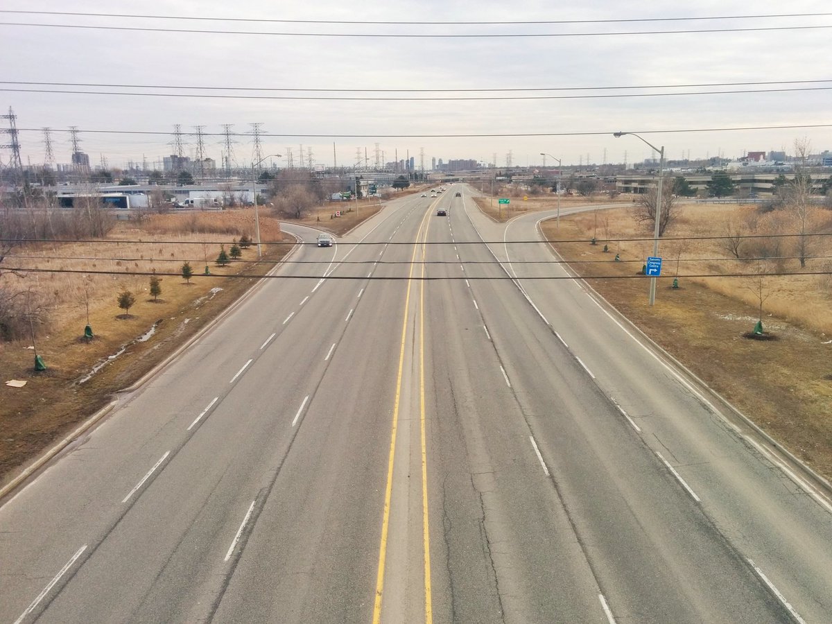
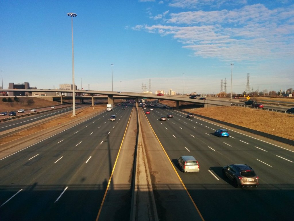
Vacant lands. Grade-separated majors. Across North America’s widest highway into Weston. Old stomping grounds, brings back memories, but I do not miss the noise or air quality.


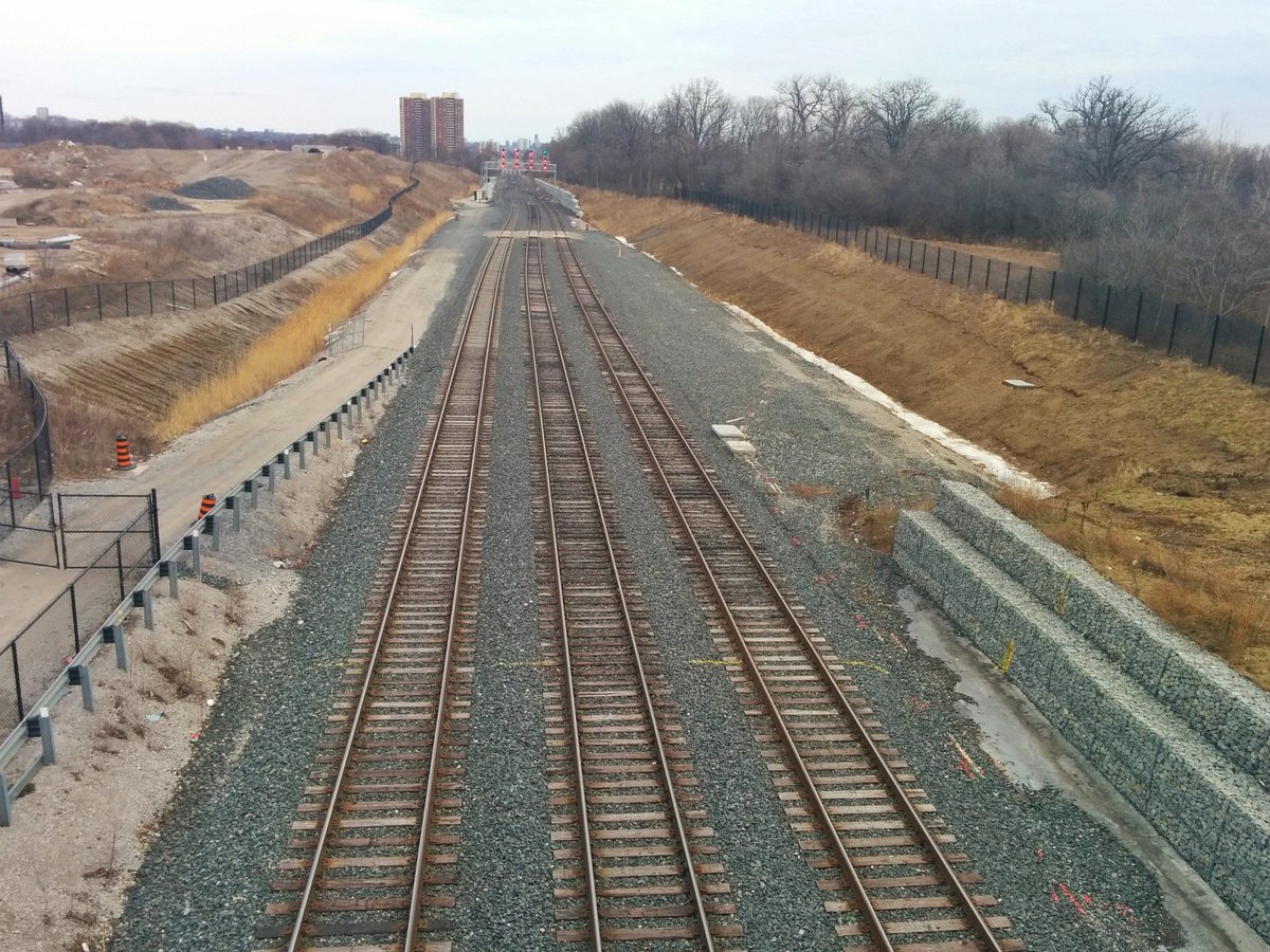
Off the main route, across the Humber, and through the woods to a stormwater management pond. The UP Express may have a maintenance facility here one day.


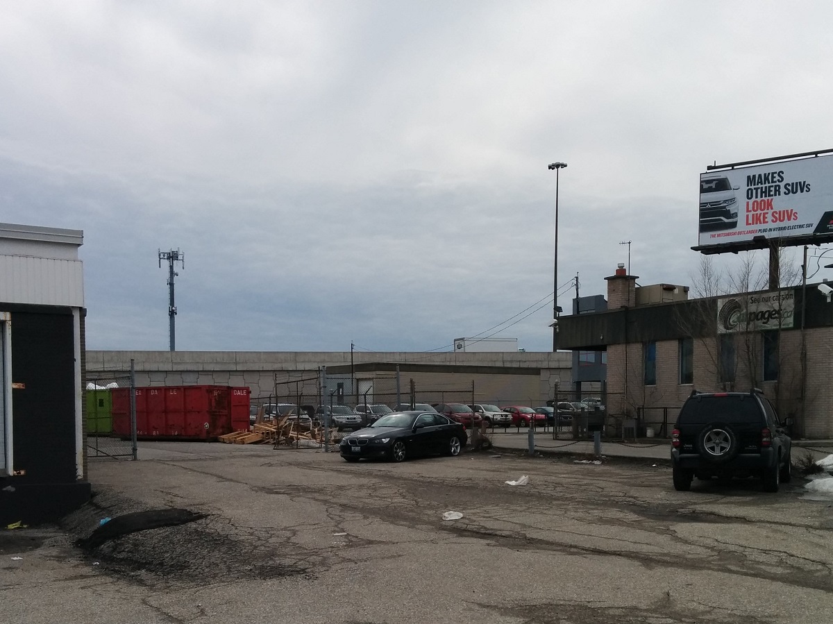
Dead ends again, and back to the north. Industrial commercial facing the full noise of the 401.


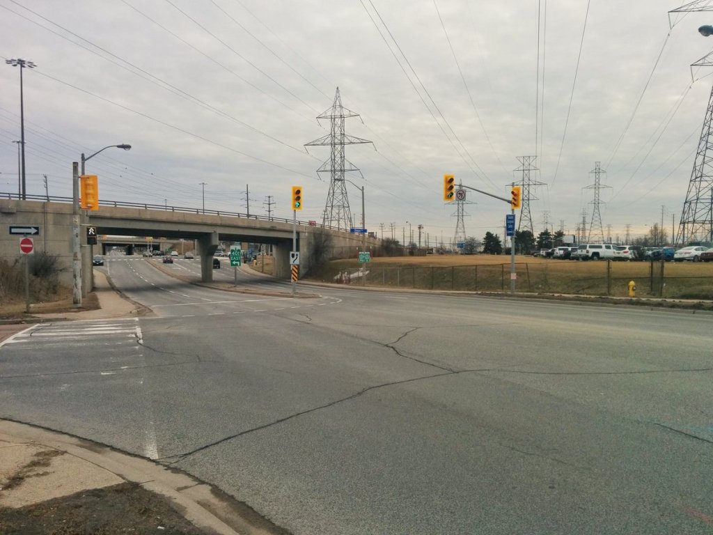
A diagonal freeway and hydro corridor meet a grid-aligned intersection of surface streets.


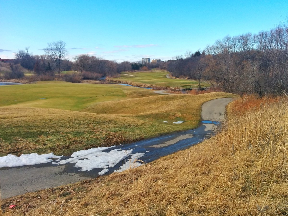
All corridors of power lead to here. A transformer station next to Etobicoke Creek and the Molson plant. Very hostile to pedestrians here, though the golf course offers an opportunity.

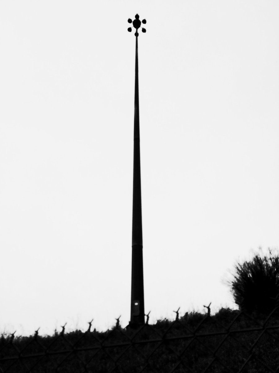
Airplanes! They necessitate teeny little lampposts. Couple more passes over until the end of the walk.


Date: February 24, 2018
Length: 21.3 km
Type: Railway / Freeway

Related Walks

401 and the Allen Expressway to the east
401 I / Allen
Intersecting creek and associated ramps to/from 401
Black Creek I


Intersecting river upstream and downstream
Lower Humber II
Intersecting hydro corridor to the north and south
Etobicoke Spine


Another intersecting creek upstream and downstream
Mimico II