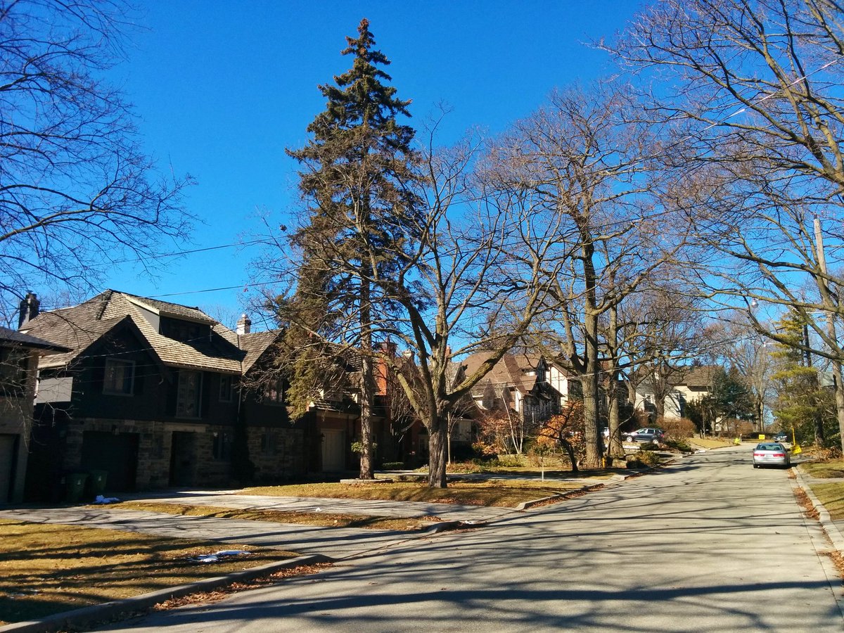
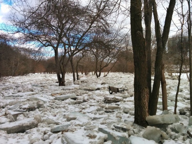
Going to the Humber and the shore. Starting off with an exit to Jane, down Bloor and through the gates. Brule, Brule, Brule.


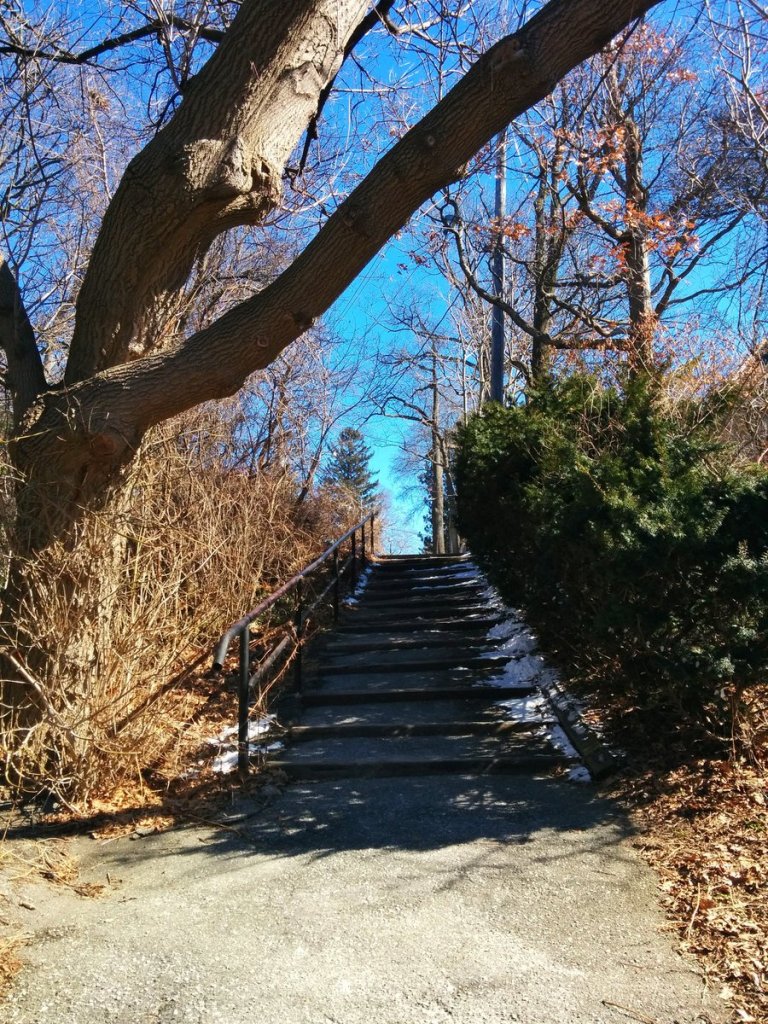
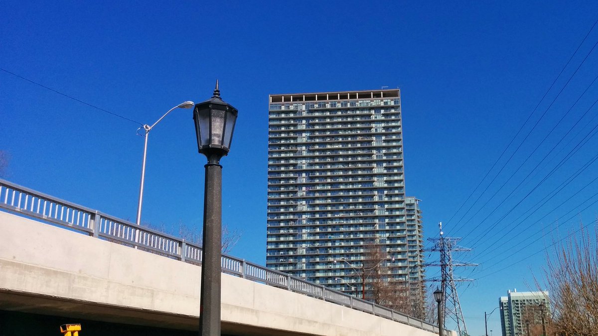
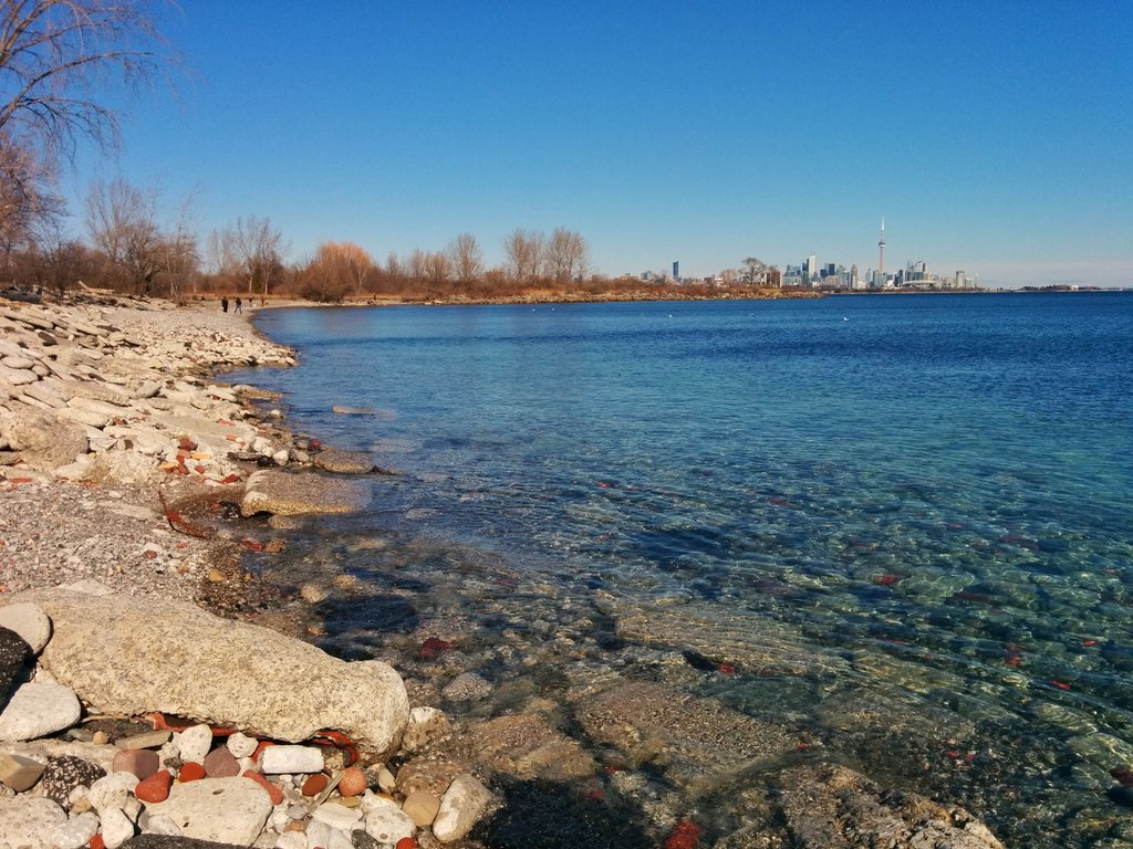
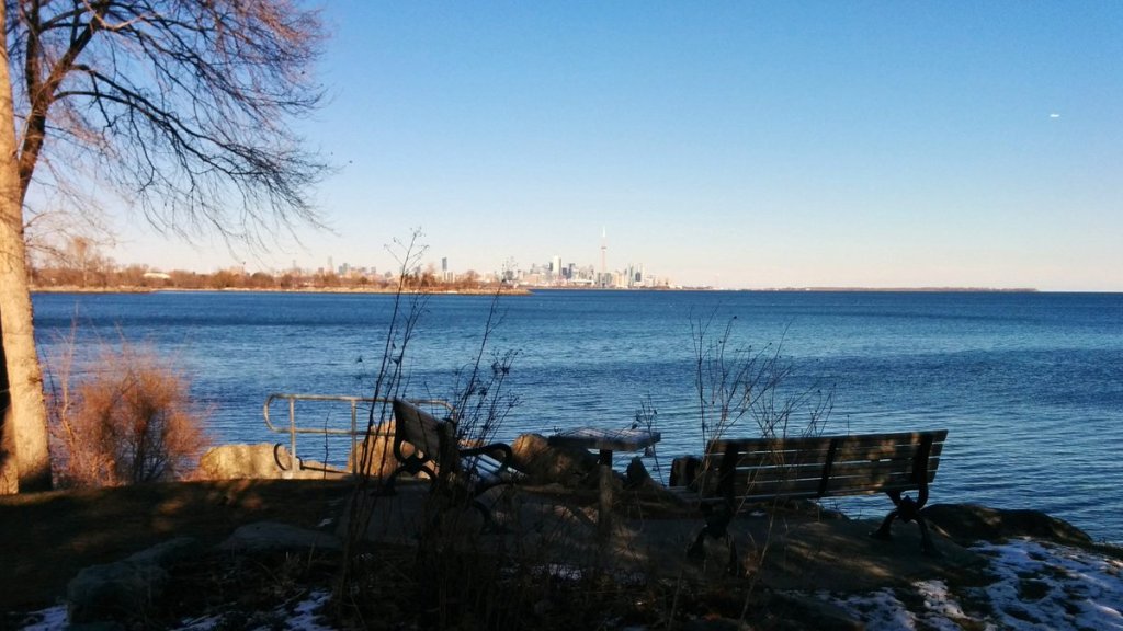
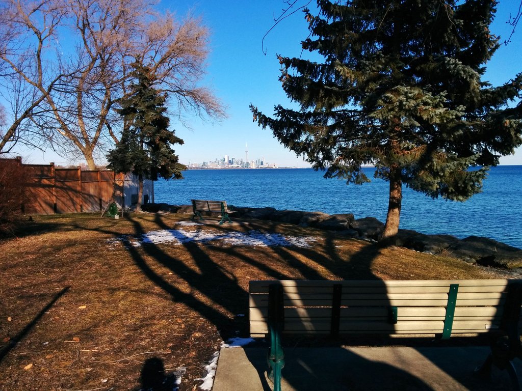
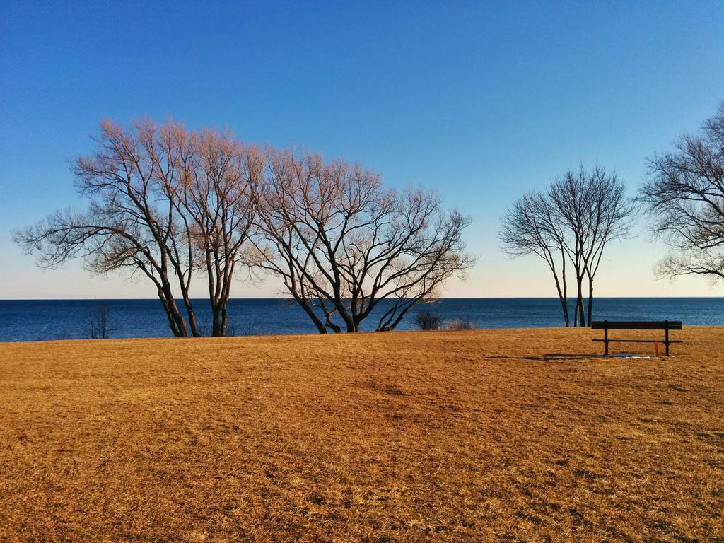
Significant grade changes. Stairs connecting streets. Magnificent views of Humber Bay Shores.


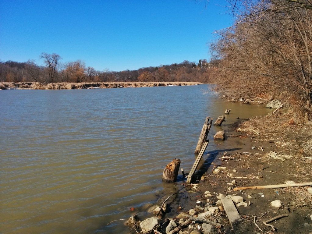
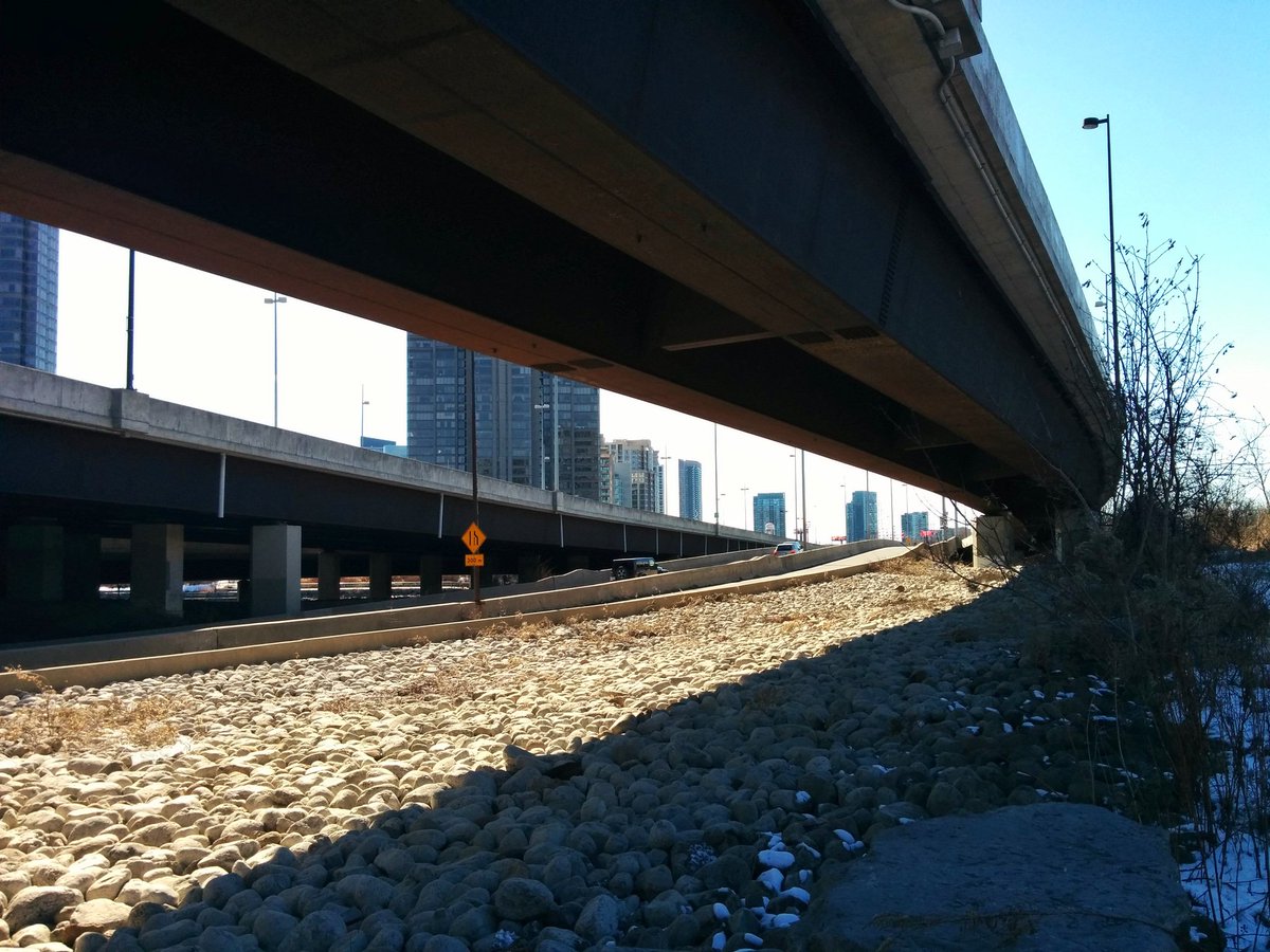
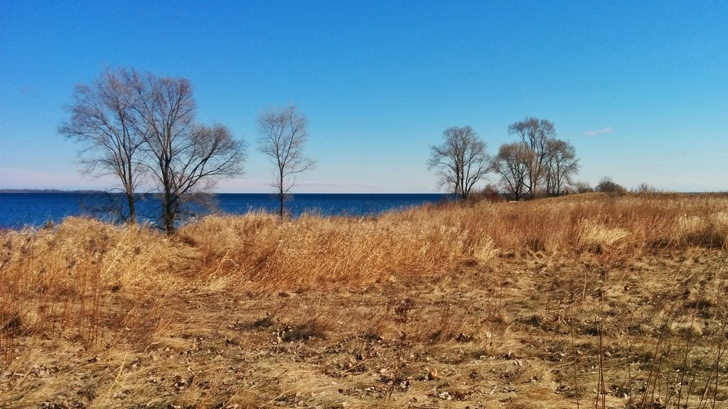
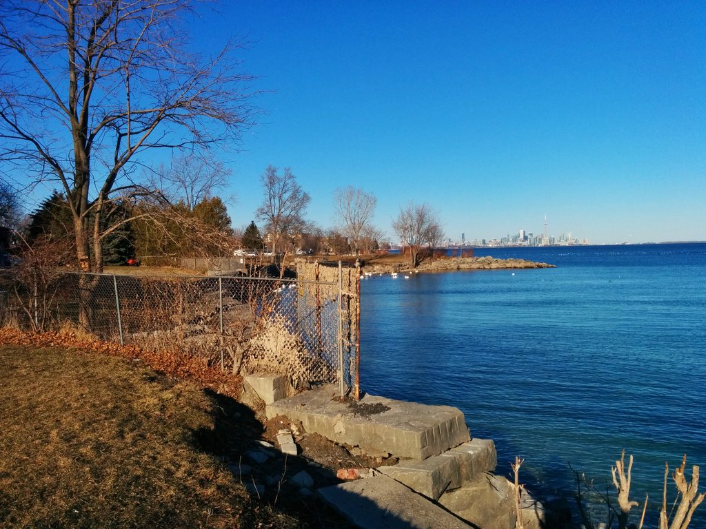
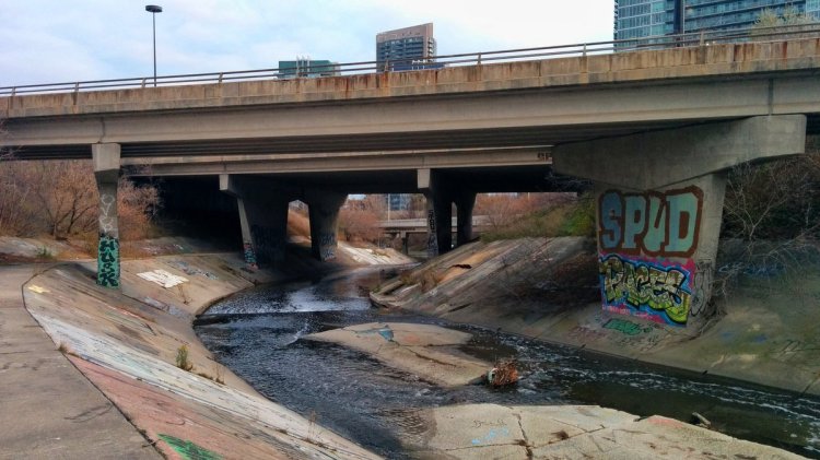
Humber Bay’s marshes and shores. It’s a crazy intersection of natural and built. Last time I was here, I couldn’t get under the Gardiner by the river due to high lake levels.
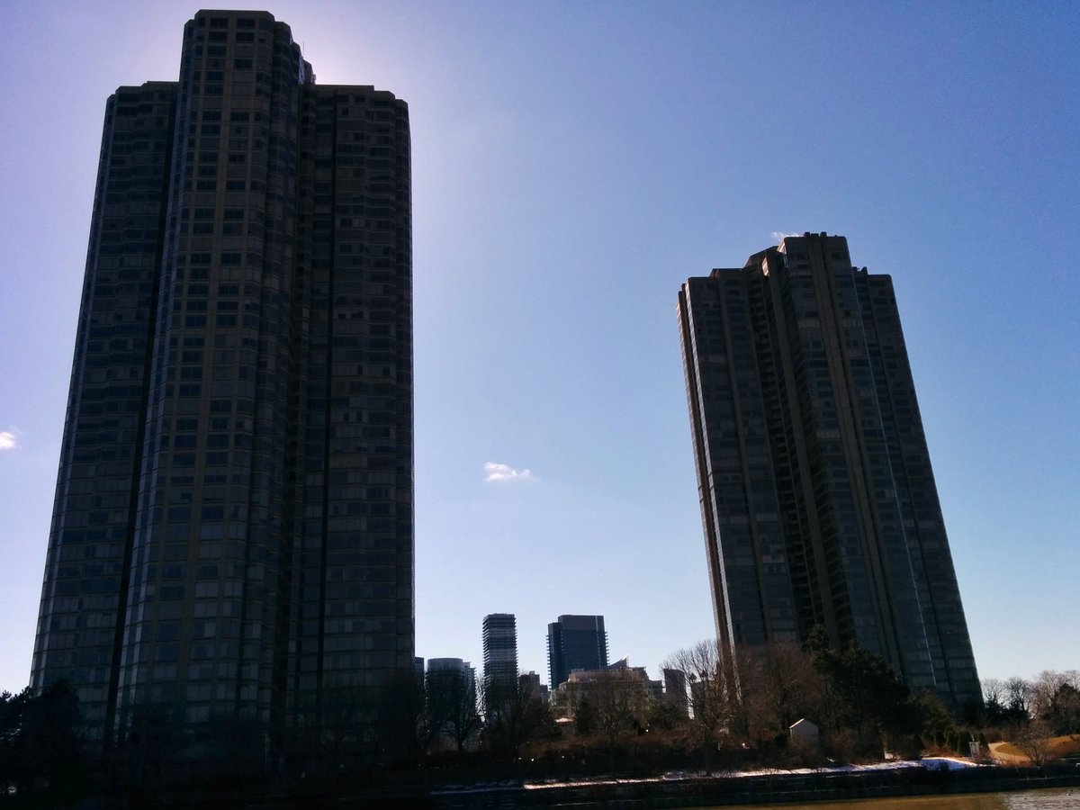
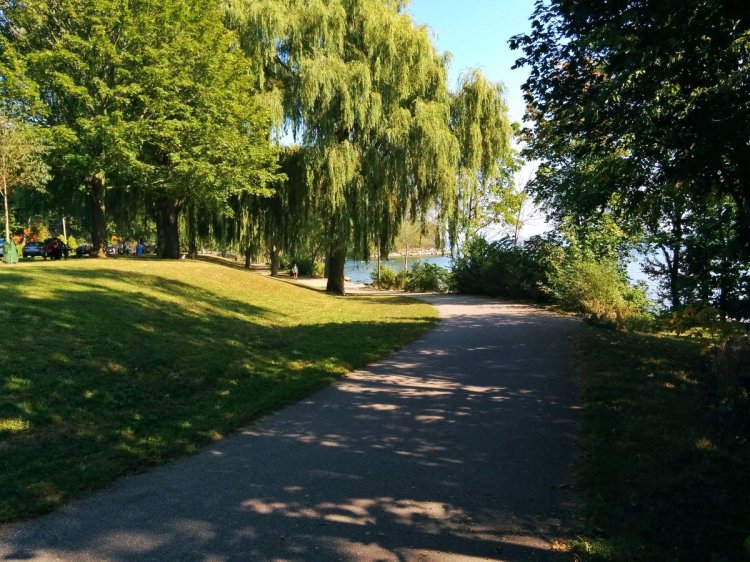
Humber Bay Shores is such a picturesque community. Facilitated by foundational works by the old Metro city and conservation authority.


A community with sufficient and high quality parkland. How it’s difficult to continue doing this is beyond me.


With all of this density, it’s crazy how reliant is is on a single streetcar line and busses to the north.


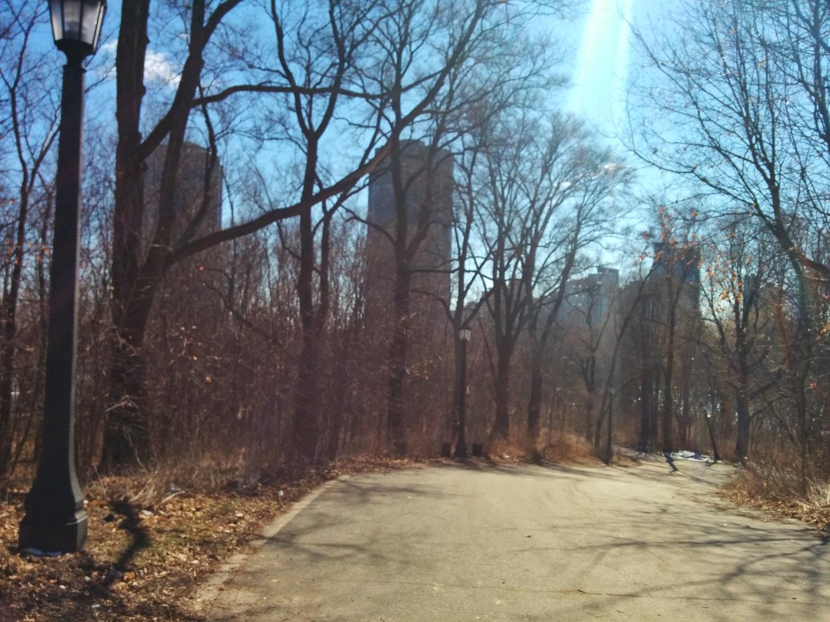
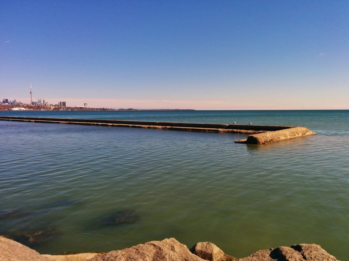
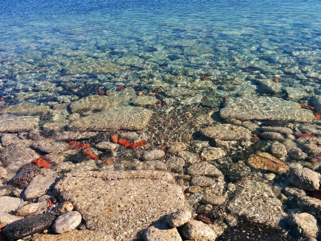
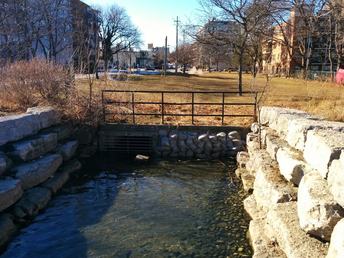
The nearly continuous publicly accessible parkland ends. There are some outfalls, one of which is for Superior Creek, one of Toronto’s lost rivers.
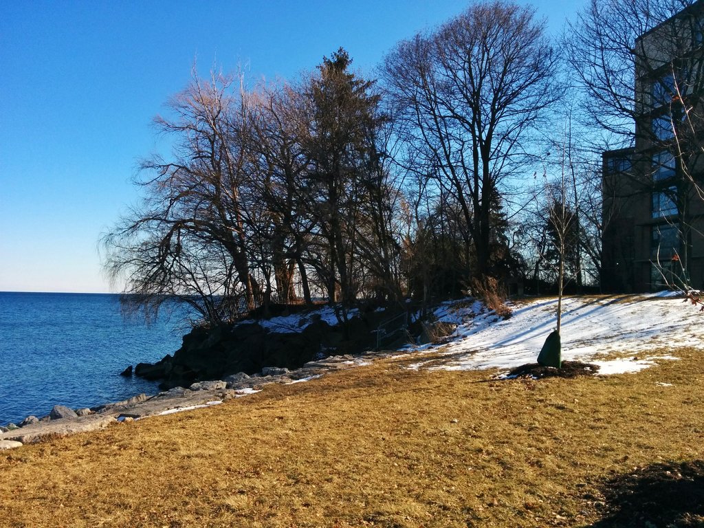


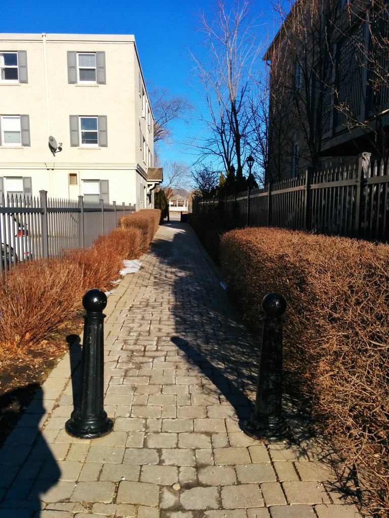
Two parkettes, at the end of streets, basically within the bounds of a road allowance. Then, a long stretch of gated mansions and a few mid-rise apartments until a third road parkette.


While there are a couple compromises and exceptions, it’s amazing how a few properties can impact shoreline connectivity so much.


Temperature is falling, time to call it.
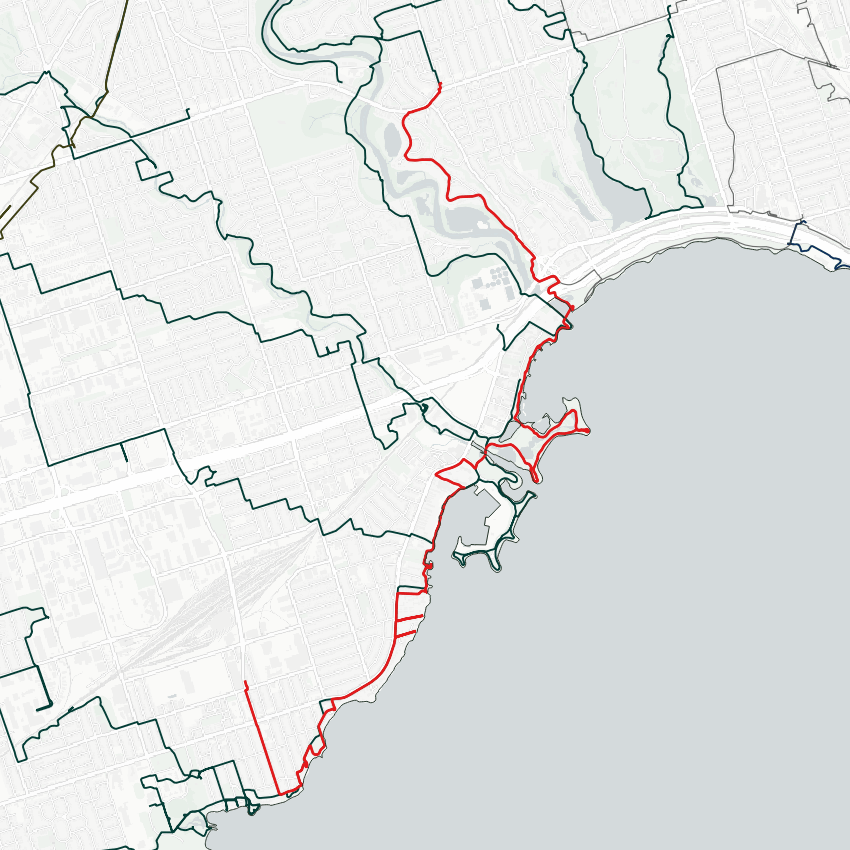
Date: March 3, 2018
Length: 14.1 km
Type: Riverine / Shoreline
Related Walks
Other side of the Humber south of Bloor
Lower Humber III / High Park
Humber River upstream of Bloor
Lower Humber II
Lower reaches of creek outflowing to Humber Bay Park
Mimico I
Humber Bay Park West and two lost creeks
Bonar and Superior Creeks

Shoreline continued to the west
Etobicoke Creek I / Shoreline I


