This walk page was adapted and expanded from a blog post about this walk, and is therefore expanded well beyond the original tweets.
Etobicoke Creek is part of Toronto’s west boundary, and therefore is its western-most ravine. Tucked away at the edge of the city, it can be easy to forget or dismiss. I took the effort to get out there, starting at this random side road, in what was an unusually hot September day; it was already above 30 degrees by 11AM.
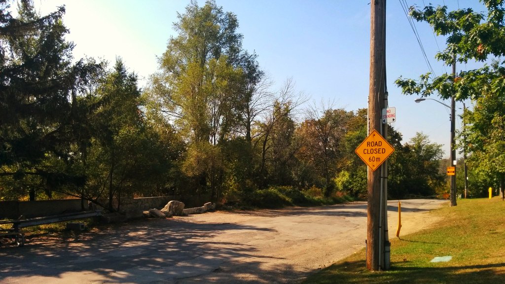
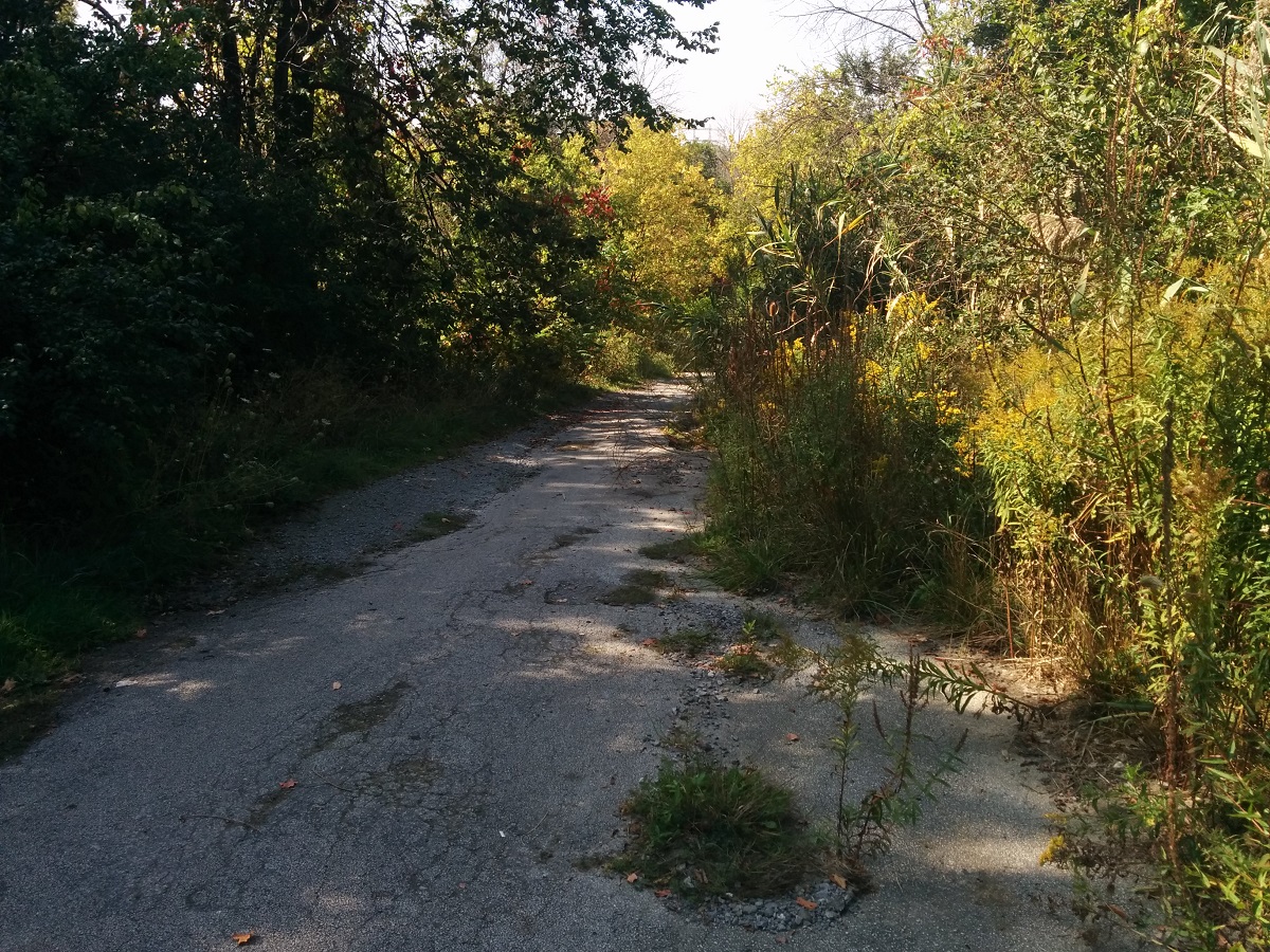
Getting off the TTC at Sherman Mall, I headed down Sherway Drive, which leads down into the ravine. The road was strange and abandoned, I was fairly surprised this was a link into a trail network, and it was in a bit of a dilapitated state. Eventually, the beat-up road gave way to a gravel trail and a field, in view of the QEW / Gardiner / 427 interchange.

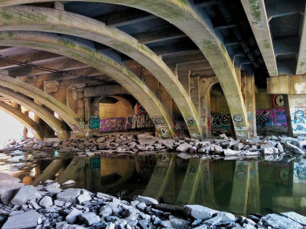
Continuing south takes you under the Queen Elizabeth Way, named not after Elizabeth II, but after the Queen Mother, wife of King George VI. And this is some special underpass architecture, with the concrete arches and bleached rocks over and adjacent to calm glassy water. The colour of the graffiti tags and green stains on the concrete added something else to it. If it weren’t for the roar and thudding of highway traffic above, it would be a serene hangout.
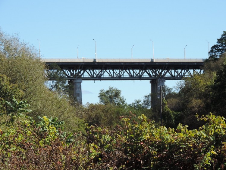
This was originally built by Ontario’s then-Department of Highways, as ‘The Middle Road’ in the 1930s. Apparently the Minister and Deputy Minister of the day were inspired by German autobahn design, and wanted to bring it to Ontario. They ordered the Middle Road to be designed to these kind of standards, and it opened between Toronto and Burlington in 1937. According to Cameron Bevers, who published a photographic history of the QEW at thekingshighway.ca, the Etobicoke Creek overpass was built in 1932 to carry a four-lane undivided highway, and it is the oldest structure on the QEW. The structure was widened in 1953 and 1967 for six lanes.

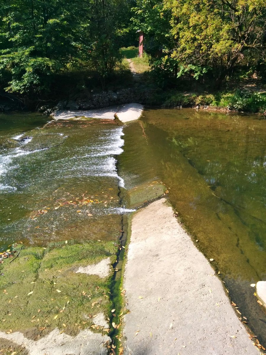
Continuing south, you enter Etobicoke Valley Park. There was some kind of instream infrastructure along the way, and there was a clear beaten path on either side, providing a bit of a risky ad-hoc crossing between Toronto and Mississauga.
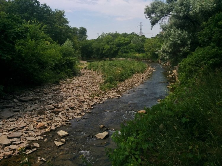
South of Horner Avenue, the trees get thick and you approach the inside of a significant meander in the creek. Here, you see some of the creek’s work over thousands of years, as it carved through deposited till and into the shale beneath. These areas of plentiful shale rocks make for great rock-skipping opportunities.
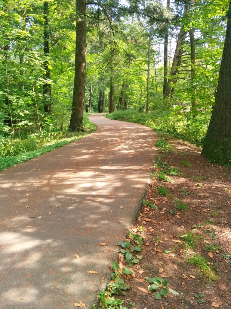


Further south, the numer of armourstone laid in the creek valley increases to provide erosion protection. It came up to breastbone height in some places, and with the steep valley wall on the other side, it felt like you were walking through some lush jungle gauntlet.


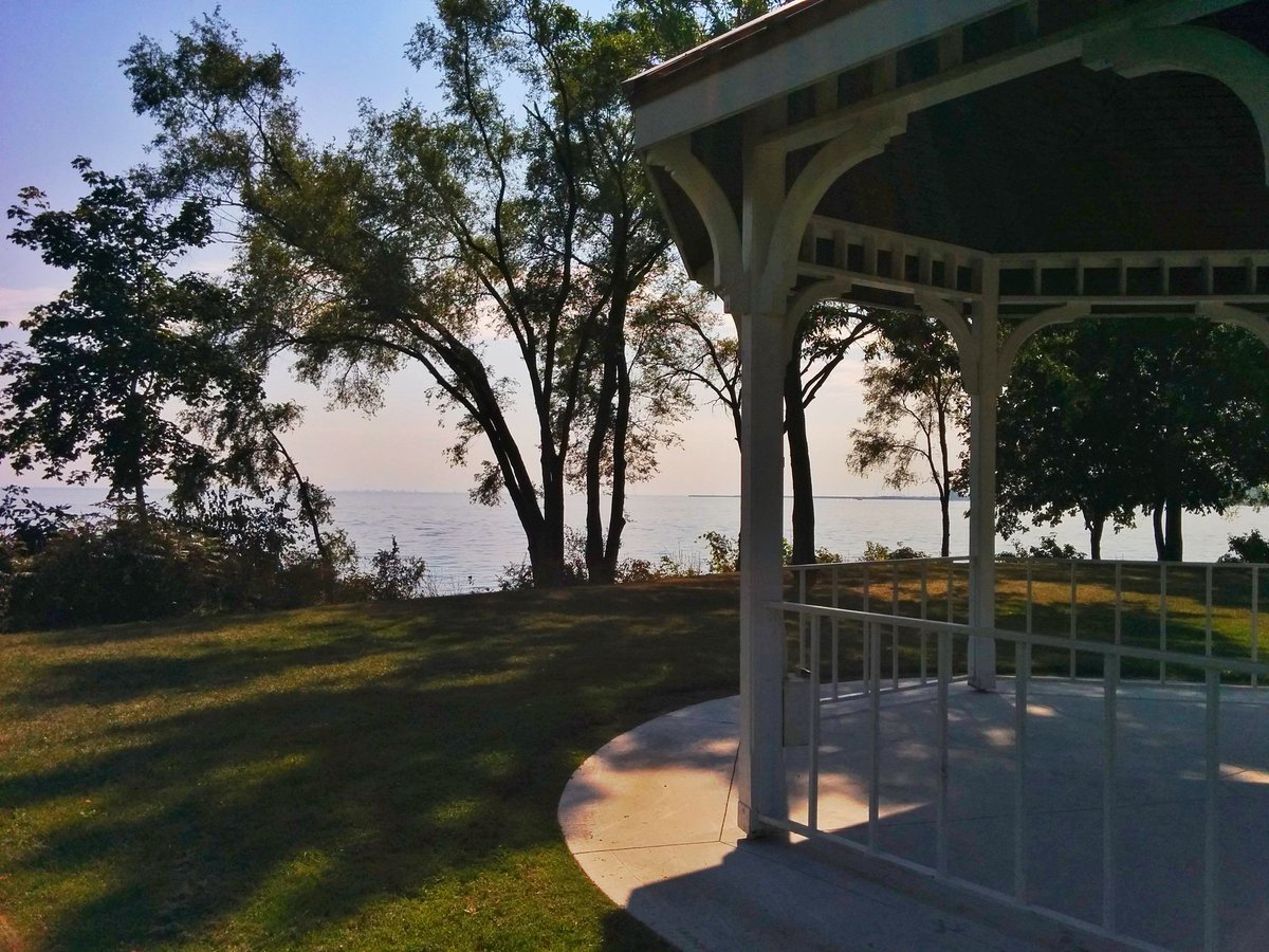
At the edge of two cities, Marie Curtis Park lies along the bottom reach of Etobicoke Creek. As with many other areas throughout Toronto, this area was ravaged by floodwaters from Hurricane Hazel. The area was turned into parkland, and dedicated to longtime village Reeve Marie Curtis in 1959. It now has a lovely boardwalk and beach. I went for a swim that day and the water was perfect. As Shawn Micallef always points out, this is still summer time.


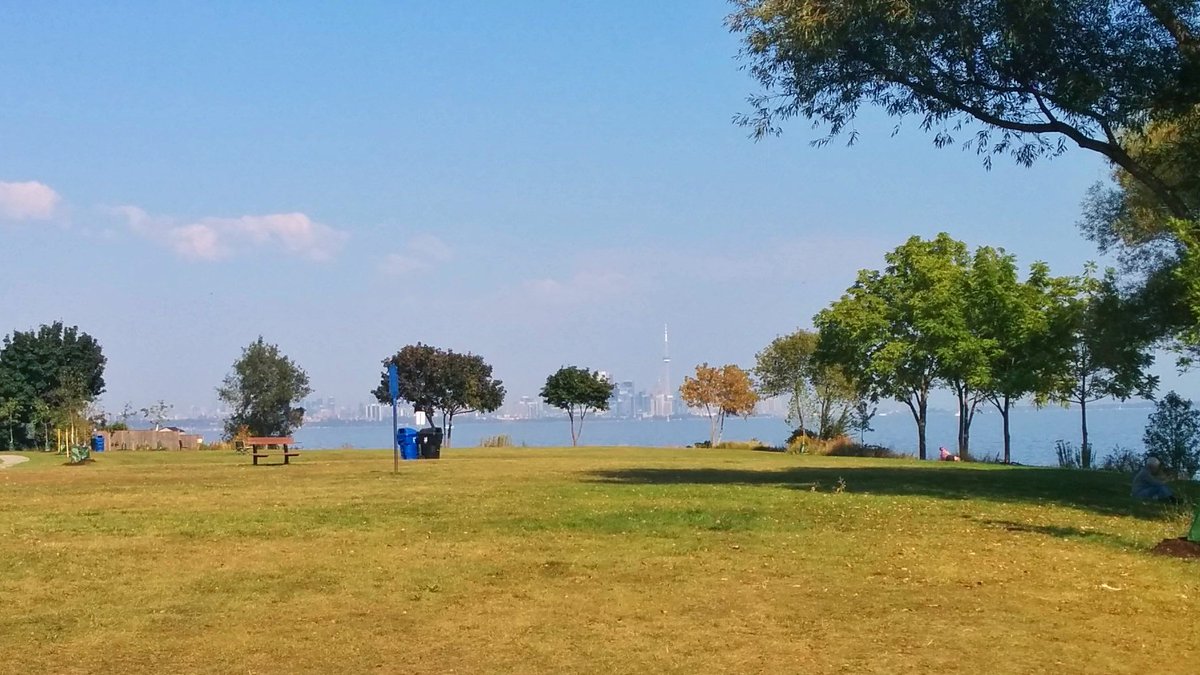
From here, I continued along the Etobicoke lakeshore. The parks and public space was pocketed between private homes. This was far more chopped up from what I was used to east of Humber Bay, and it led me to create my Toronto shoreline project a few months later.


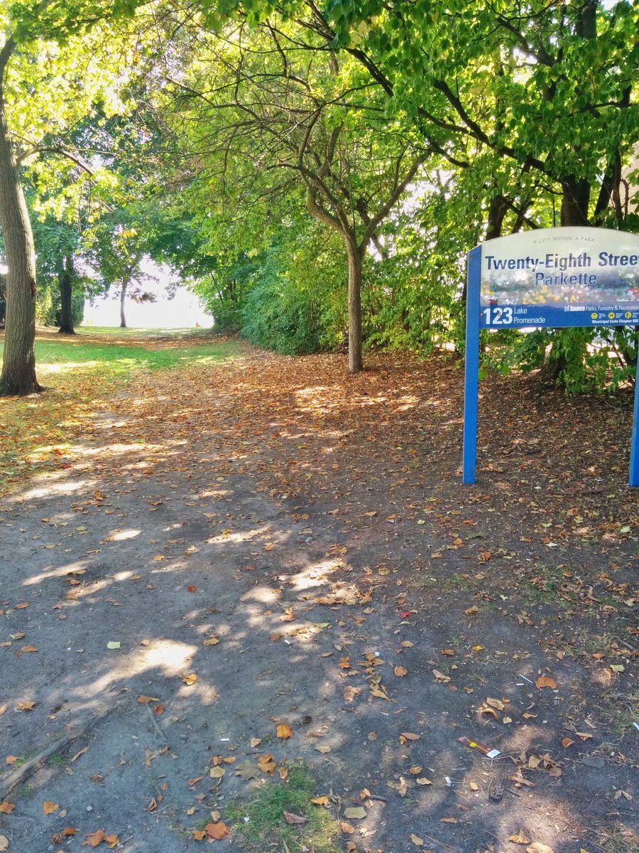
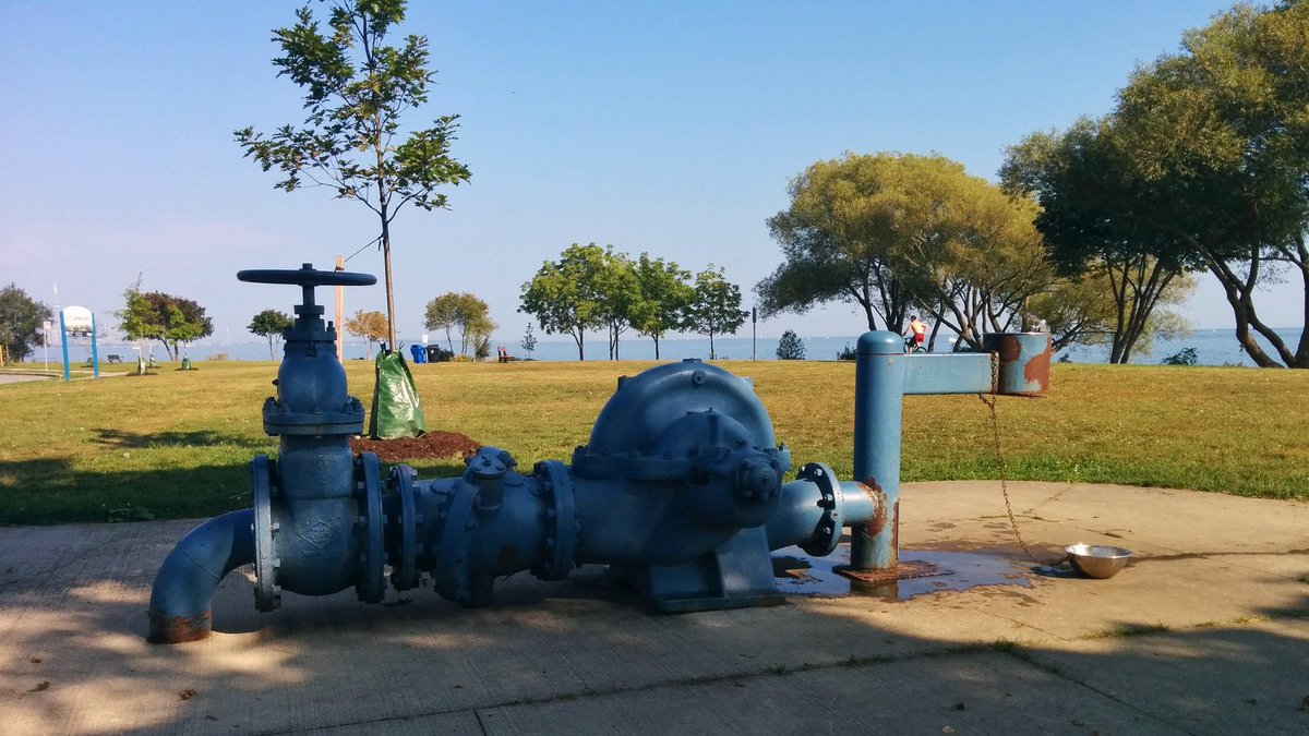
It was surprisingly hard to find public drinking water on the waterfront, and with all the pocketed public space, it was very irritating. I then hit a dead end because access from Rotary Peace Park was chained off at the east end for a lawn bowling area. Not a great sense of public space throughout.


Eventually I found a fountain, and it had quite the industrial look to it. From here, I continued to Humber Bay Shores, but got caught up talking to a guy from Trinidad who was really into RC boats, looking for a good spot to drive his boat on the lake.
Date: September 23, 2017
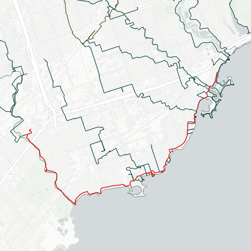
Distance: 13.5 km
Type: Riverine / Shoreline
Related Walks
Etobicoke Creek upstream of the QEW
Etobicoke Creek II
Undocumented parts of this walk up to the Humber River
Lower Humber I / Shoreline II


Perimeter of Humber Bay Park West
Bonar and Superior Creeks
Intersecting rail line east and west
Oakville Sub (Toronto)