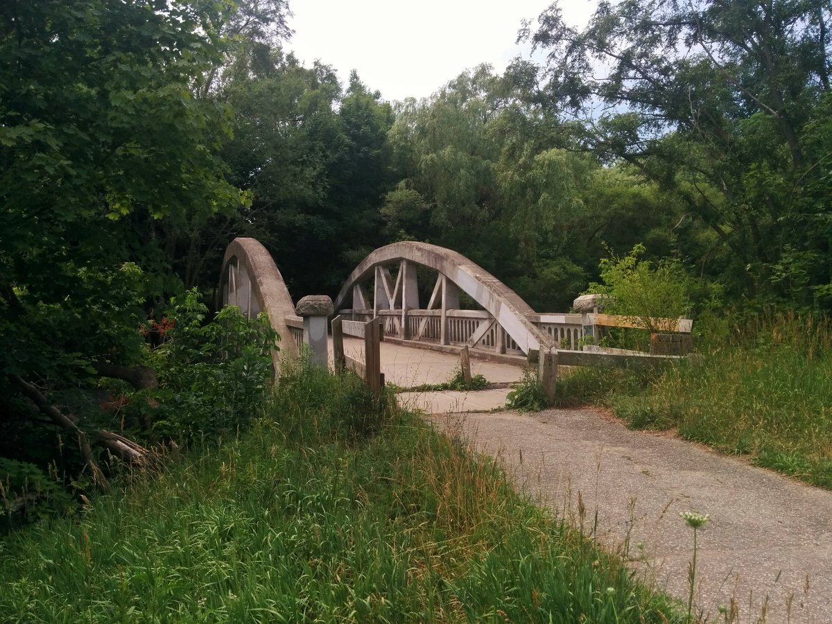
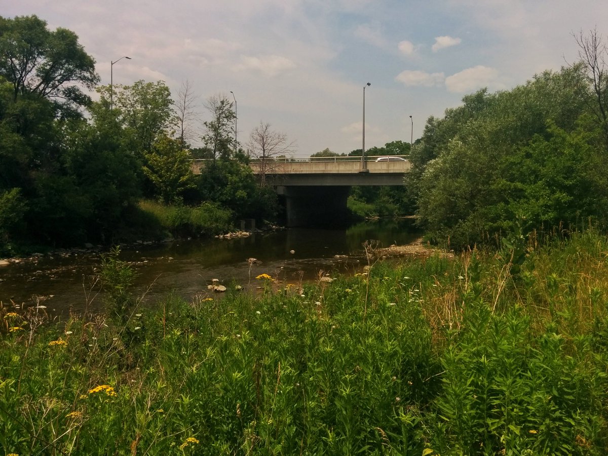
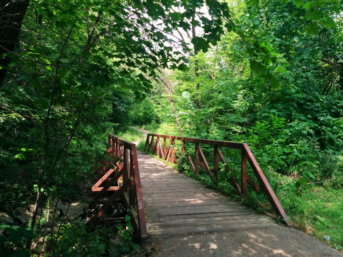
Good afternoon. We’re heading up Etobicoke Creek today, starting from Sherway. First crossing: the old Middle Road Bridge, circa 1909 and still alive over a century later. If the architecture is familiar, it is because you’ve seen a similar bridge at the Forks of the Don.
Access problems right off the bat, but it’s because I was on the Mississauga side. After glimpsing the confluence with Little Etobicoke Creek, a brief endeavor along industrial roads and container lots, before getting back into the ravine.


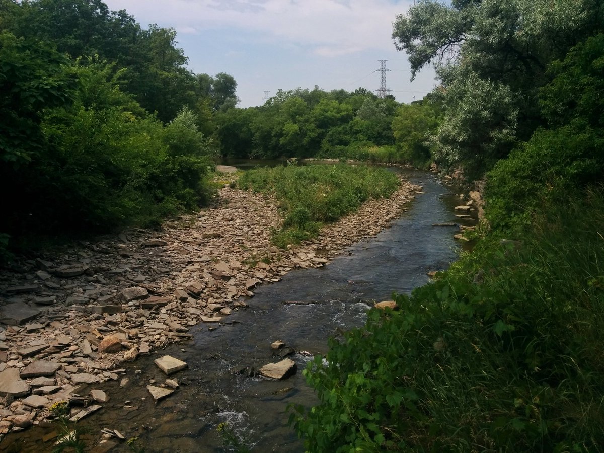
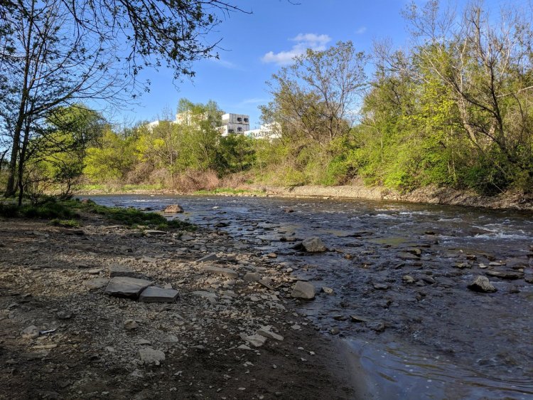
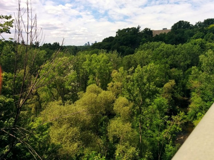
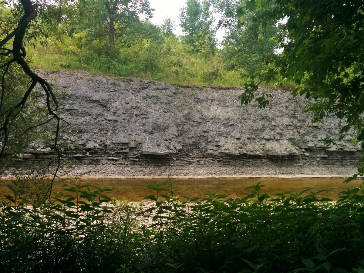
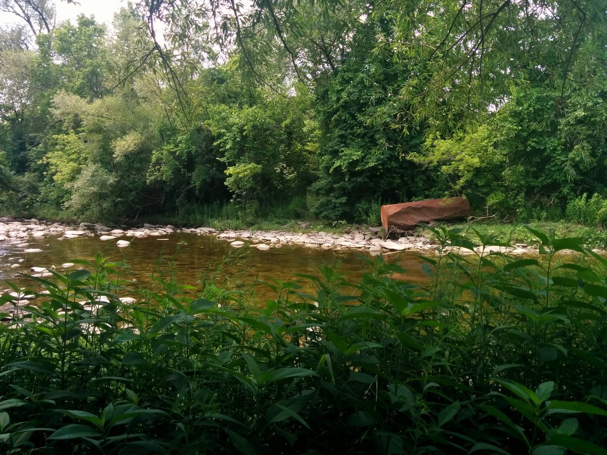
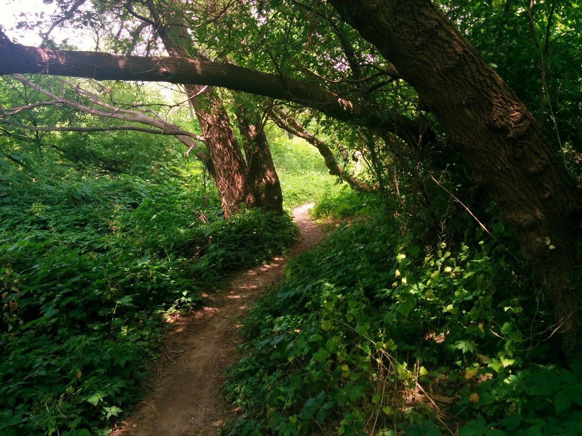
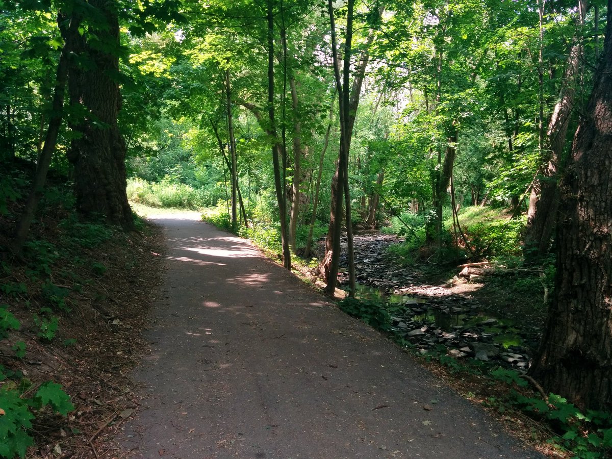
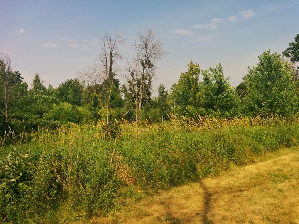
Shale cuts, a defining feature of Etobicoke Creek. Managing to follow this mountain bike path, it’s beaten down enough, not overgrown, and sticking to the ravine. It’s cooler down here vs. being exposed, but man it’s dank and humid. Also still some industrial noise.

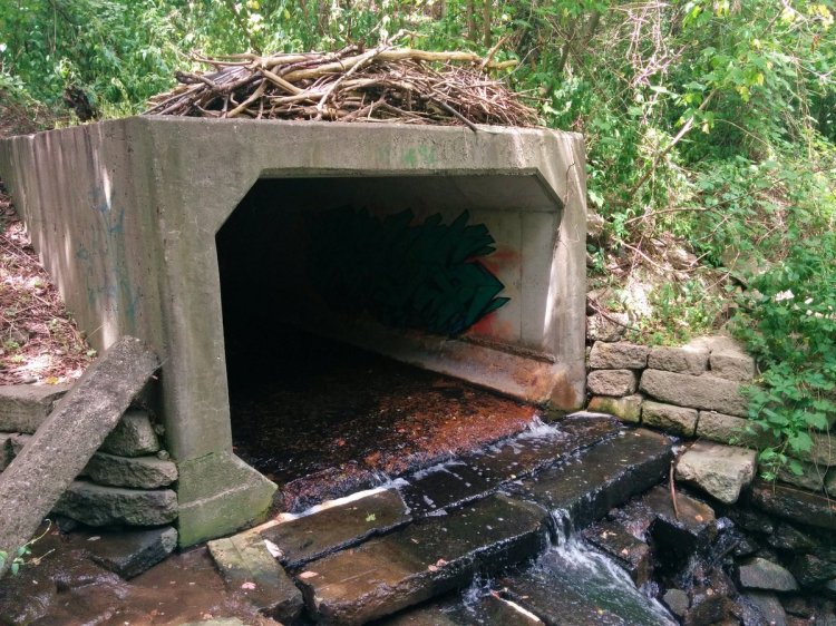
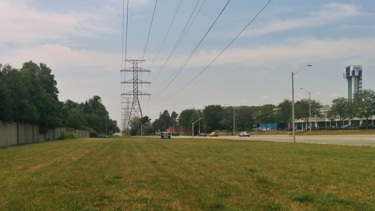
Pushed through, and made it to Dundas. Navigated the car sewer, and got back to the creek on the other side.


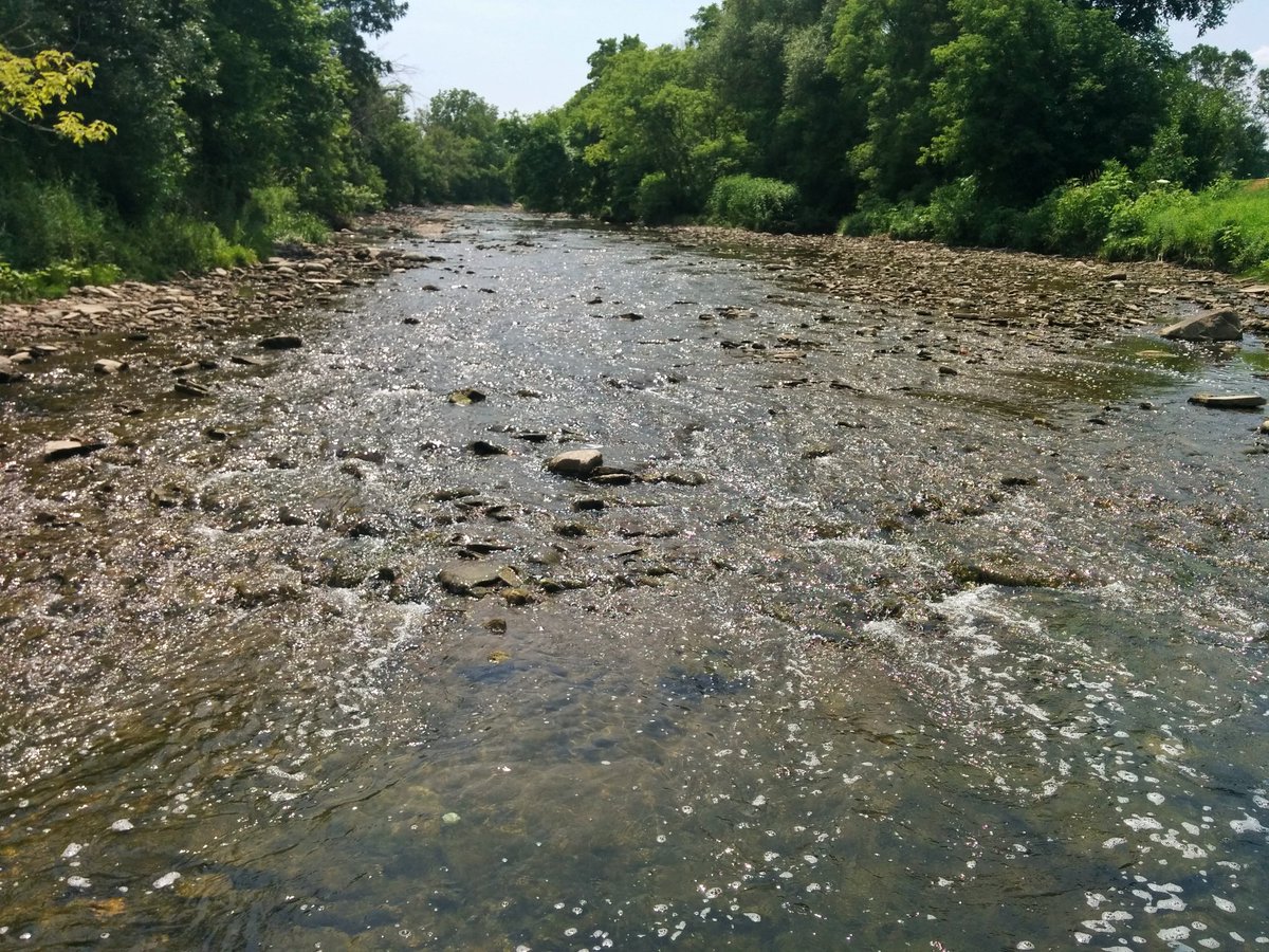
Went upstream a bit and basically stood on (in?) the creek. Caught the confluence of what the Toronto and Region Conservation Authority calls “Tributary 4.” I was standing in Etobicoke Creek because of, surprise, a private golf course. This is what’s going to keep me from going further, and force me to follow Tributary 4 instead.

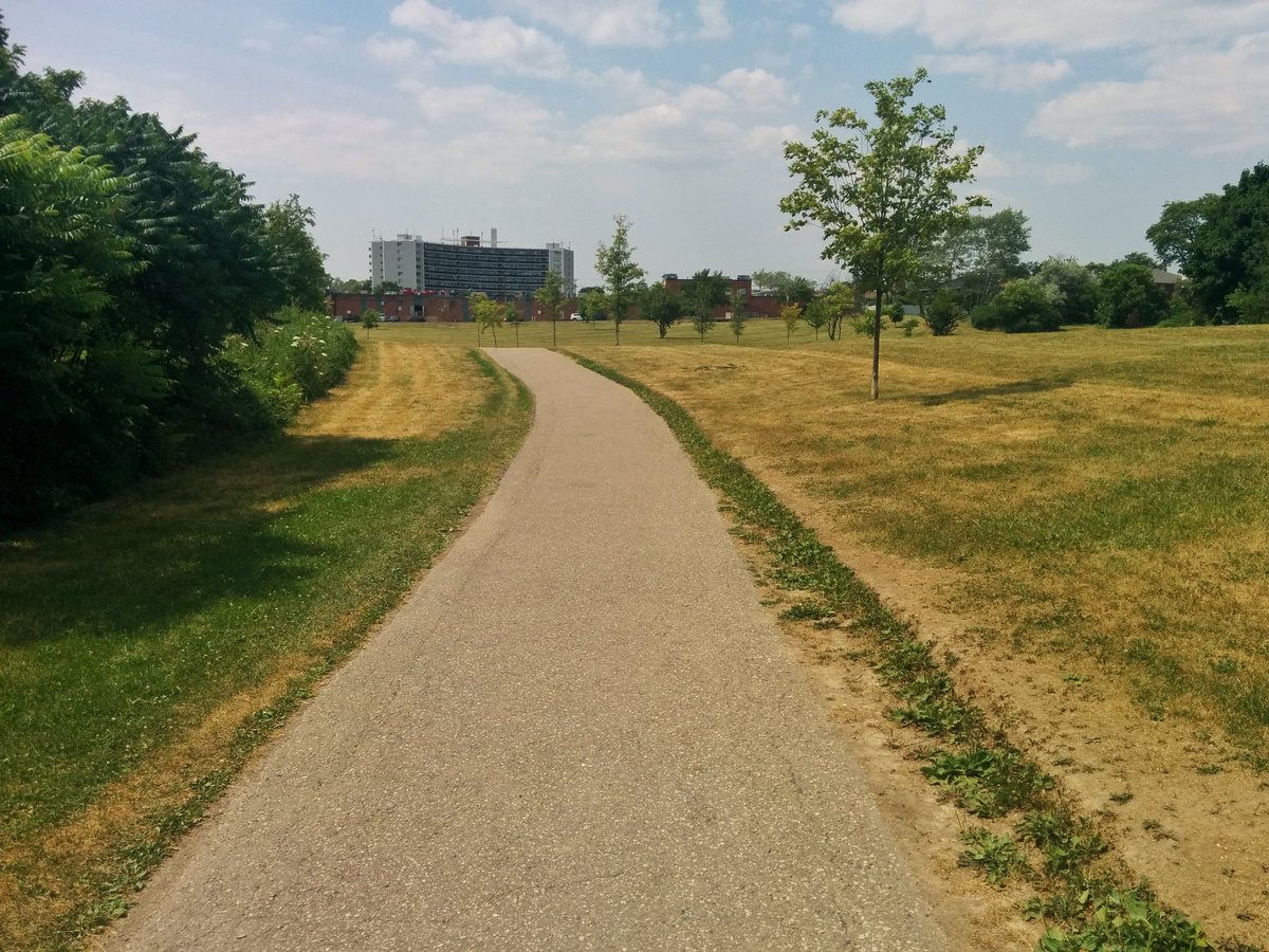
Tributary 4 is a example of what all smaller tributaries could be, and what lost rivers should be. A surface stream with a path meandering on both sides, and is thickly vegetated, even if private property abuts it. Where possible, it opens up to wider recreation parkland.


There are a few open spots to burn in, but generally vegetation cover is good. Eventually you start seeing tributaries of Tributary 4.
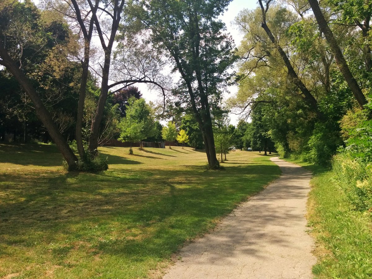


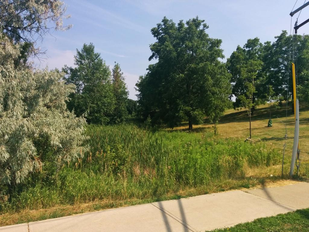
Centennial Park. This is close to the headwaters, and Tributary 4 gets skinny between some pretty sweet rockwalls. Lots of open grasslands. Also some artificial ponds, which are cute, but raise water temperatures and promote eutrophic conditions. Not great.


Two big wetlands. Frogs are still croaking, so they haven’t boiled yet. Eventually, Tributary 4 winds up at Eglinton Avenue, and as far as I can tell, this is its starting point.


Date: July 12, 2018
Length: 10.8 km
Type: Riverine

Related Walks

Etobicoke Creek continued downstream to the lake
Etobicoke Creek I / Shoreline I
Etobicoke Creek continued upstream from Tributary 4
Etobicoke Creek III