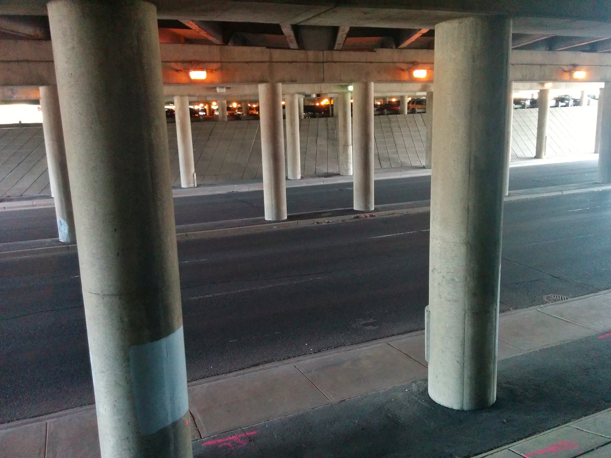
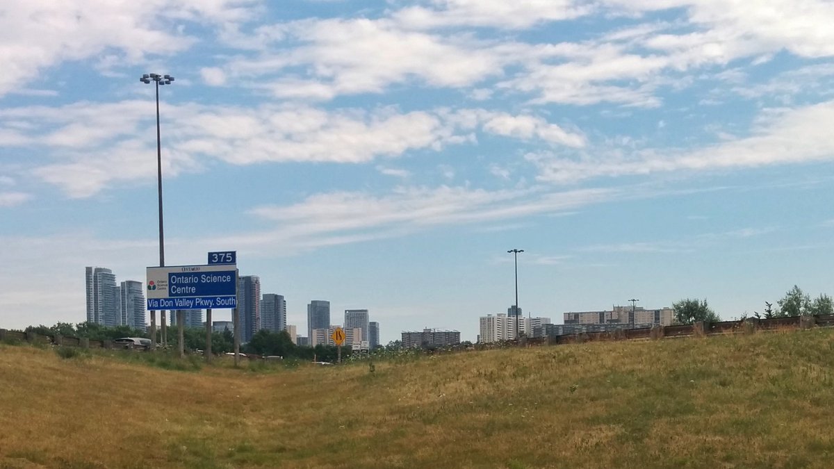
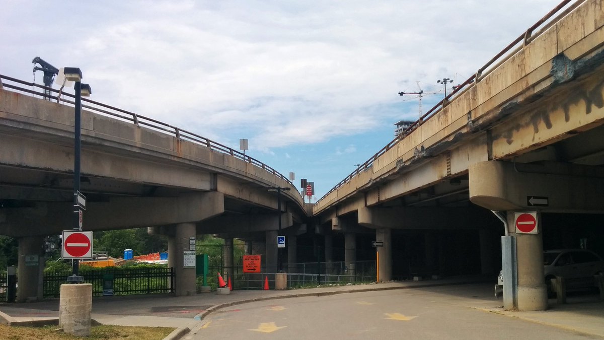
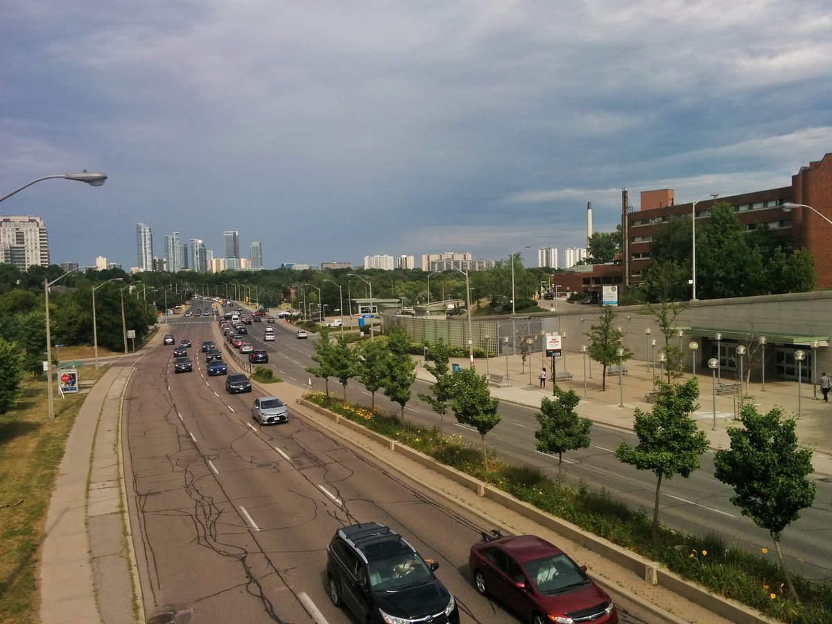
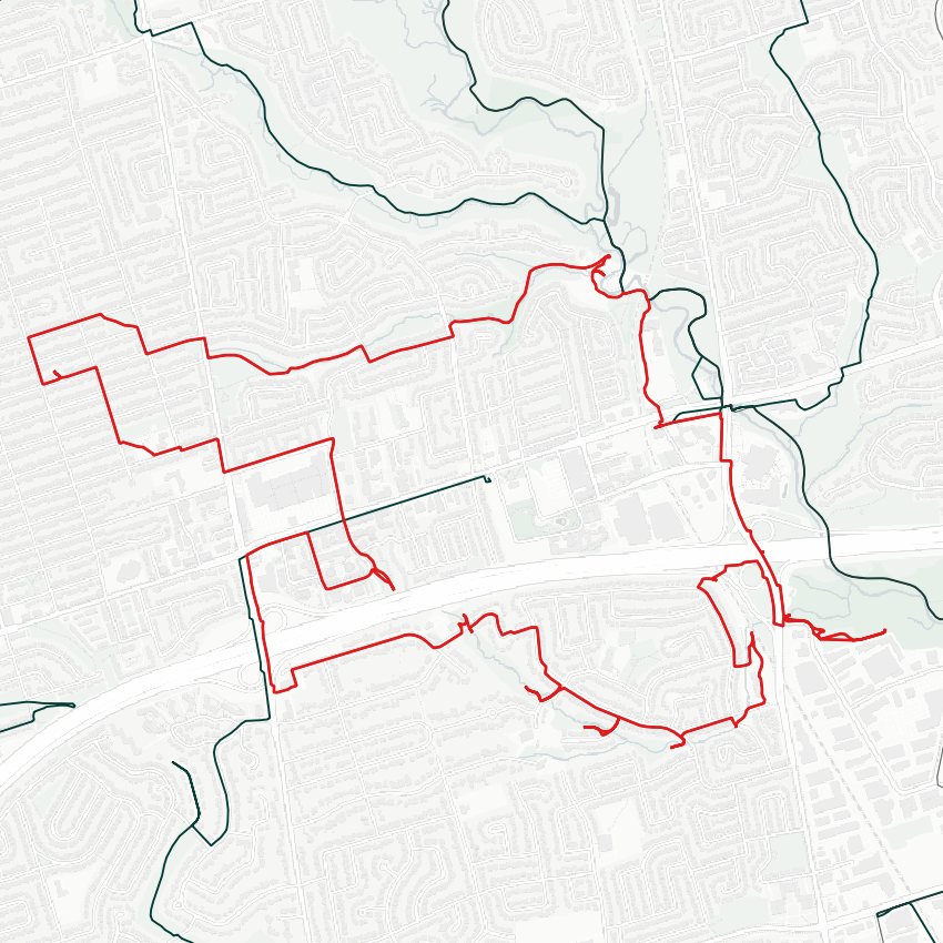
Good morning. I will be exploring some tributaries of the East Don, which are partially lost rivers. I get to start at the car sewer that is the 401 and Leslie.

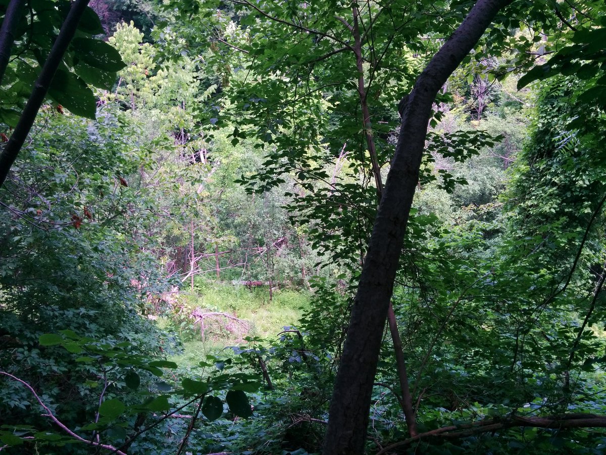
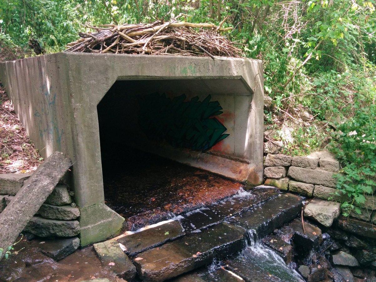
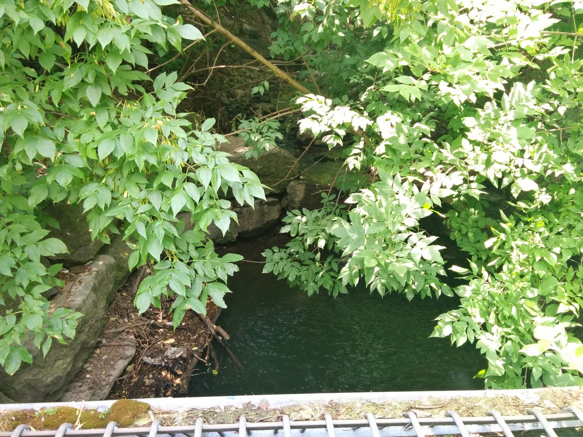
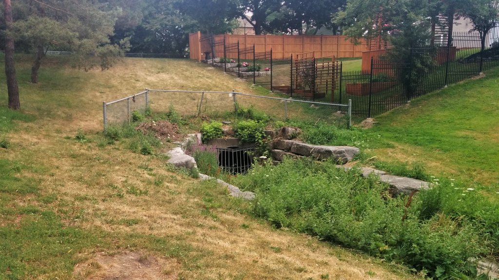
First tributary is Vyner Creek. It’s confluence is…hidden somewhere in the first pic. I did some fruitless punching through the bush to try and find it. Did find its outlet from underneath the 401/Leslie interchange. Dumps into a pit before a bunch of broken erosion control rocks.
Navigated around the 401/Leslie interchange again, which is super stressful. Got to Oriole GO, used the pedestrian bridge over the train line, through a neighbourhood, finally to Woodsworth Greenbelt. Nice to get a glimpse of Vyner again, but it’s a dead end space. Annoying.


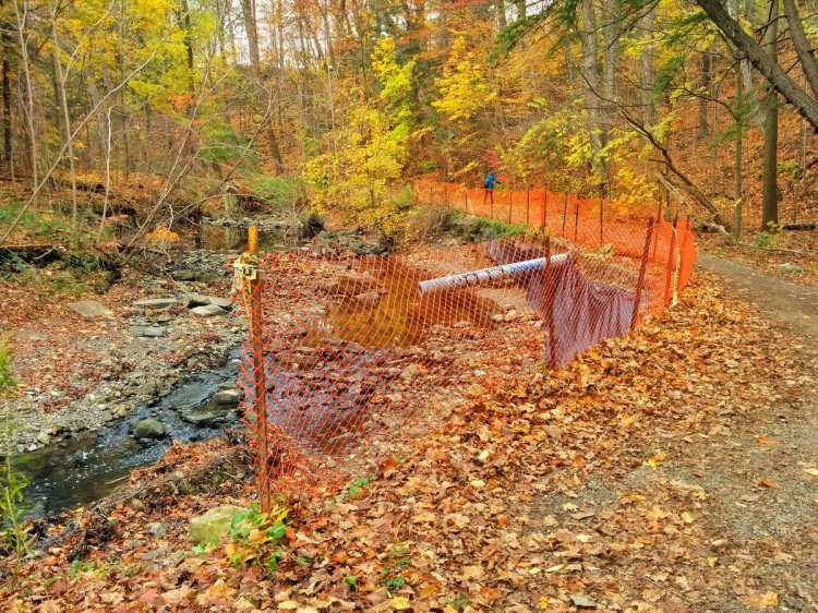
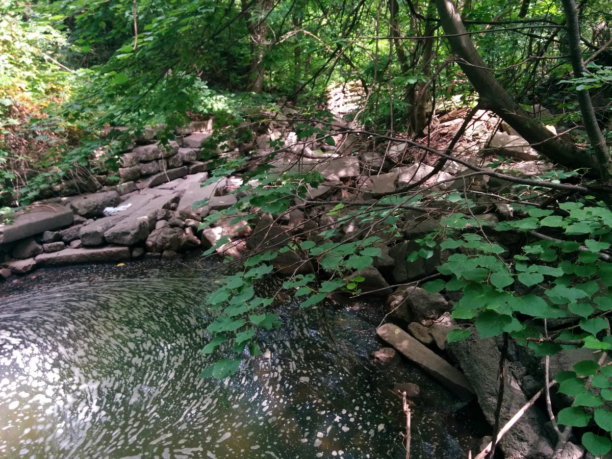
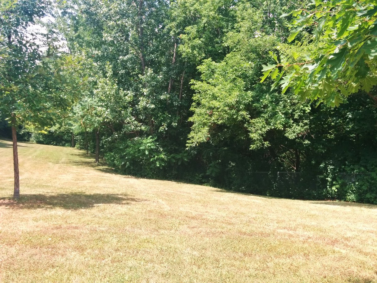
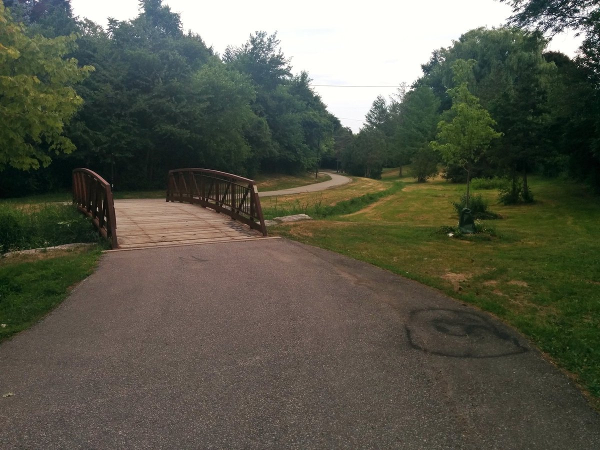
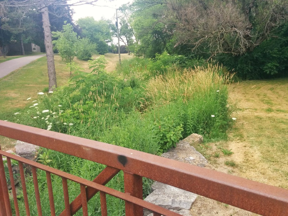
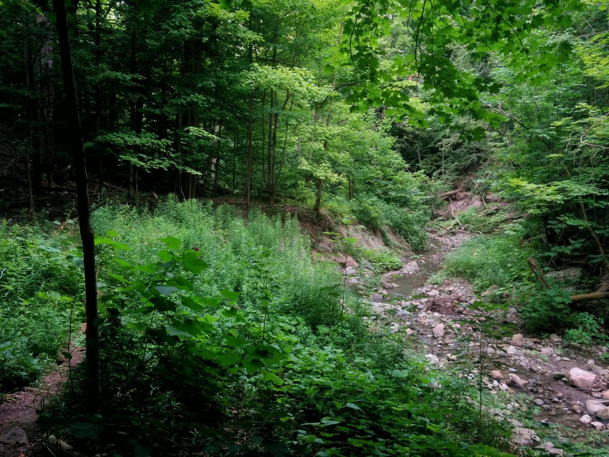
Vyner Greenbelt: plenty of space, but has not had any TLC for years. Crowded by debris from wind and ice storms, trashed by erosion from heavy rains, and overgrown. This is a prime example of existing but underutilized parkland.

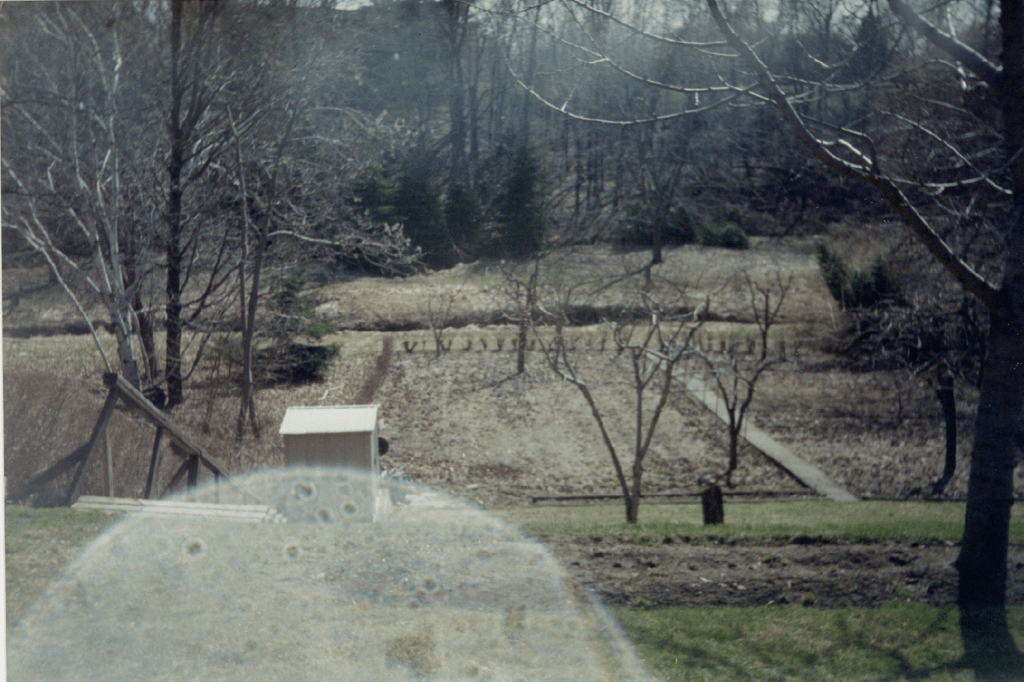
A Metroscapes reader contacted me, and provided the photo below, looking out the back of they grandparents’ home backing onto Vyner Creek between Swansdown Road and Vyner Road. As you can see, the ravine used to be maintained. It’s better to have a healthy riparian zone, but a simple trail would be nice.
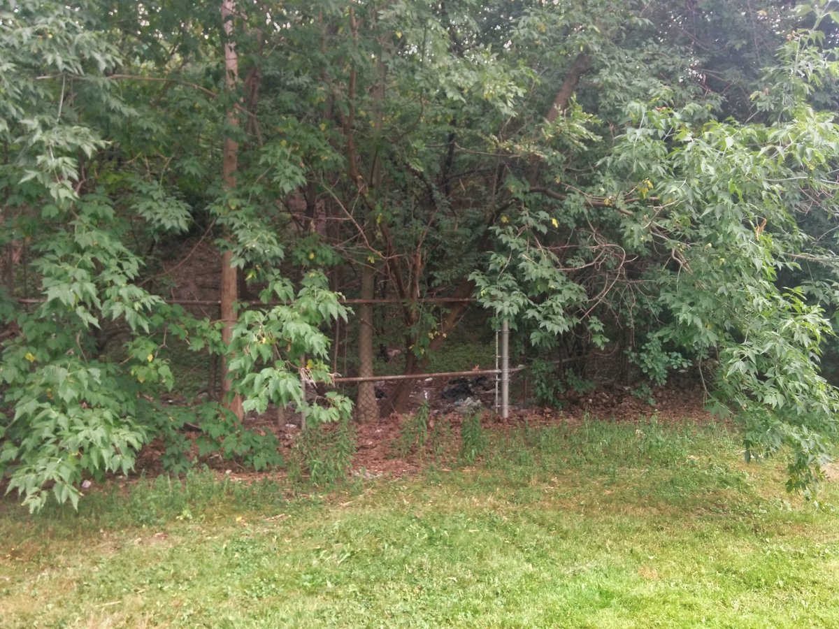
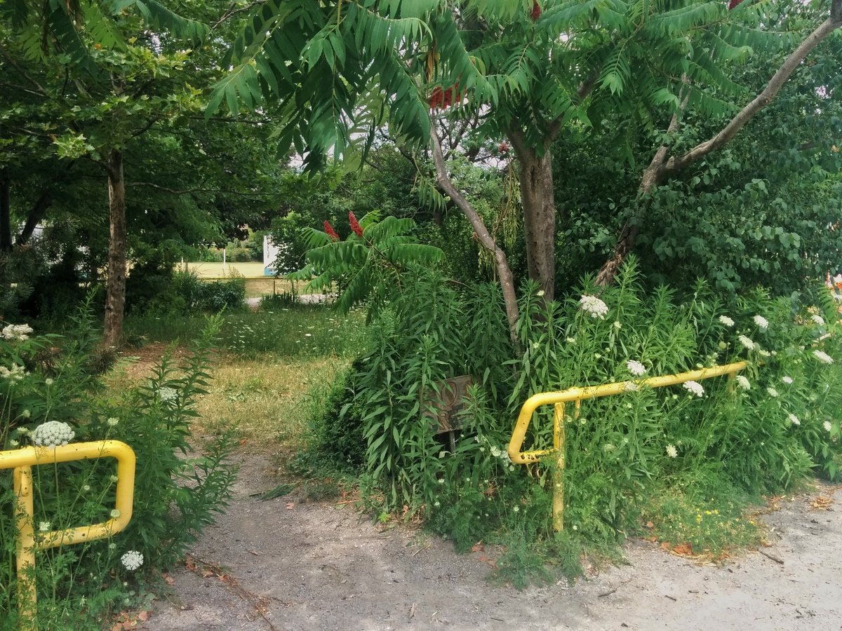
You know it’s bad when you see what clearly is a trail entrance, and yet there’s no trail. Anyway, Vyner Creek still flows here, but then becomes lost north of the 401. Not even a drain. Just a park that makes it obvious where it used to flow.

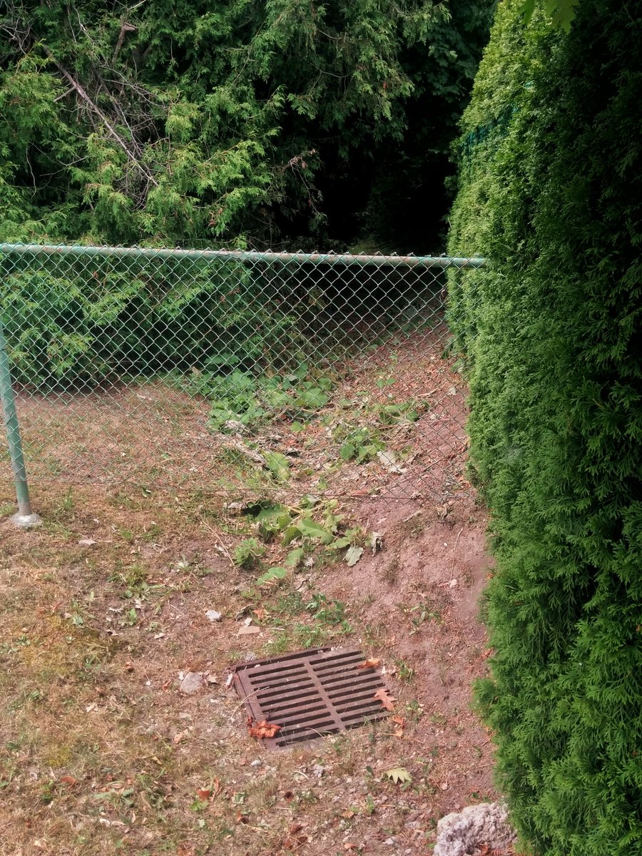
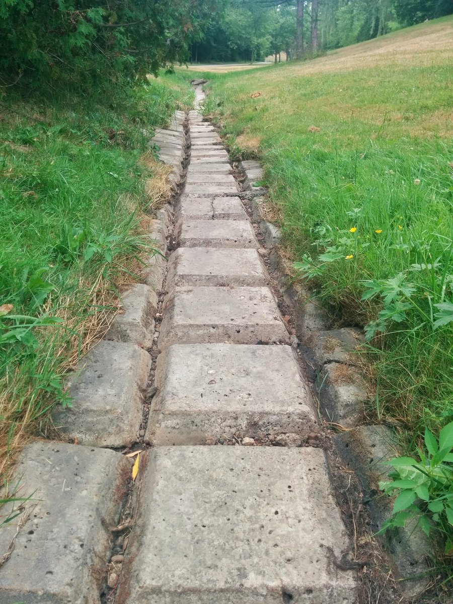
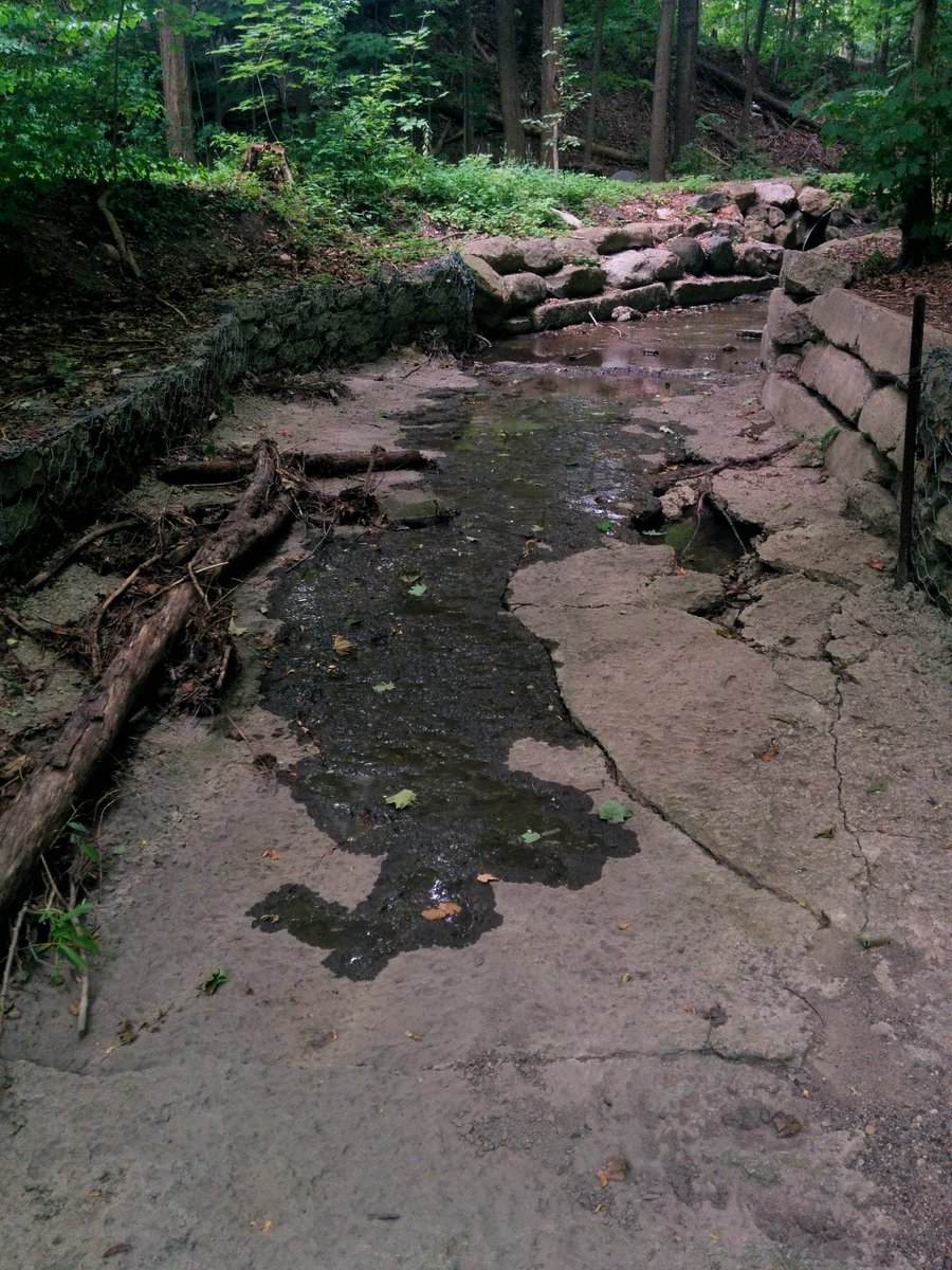
Signs of Vyner Creek are now few and far between. The last hint is this surface ditch at the Empress Tot Lot. Other than that, it is lost beneath suburban development.

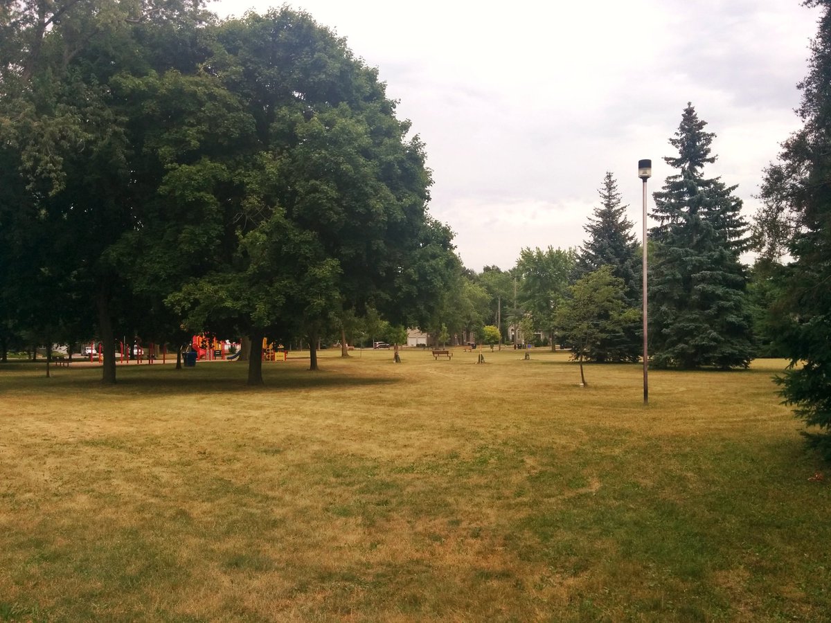
Vyner is the lower of the two lost tributaries of the East Don. I’m going to trace the upper one now; don’t have a name. Two first signs are two recreational parks with local minima.
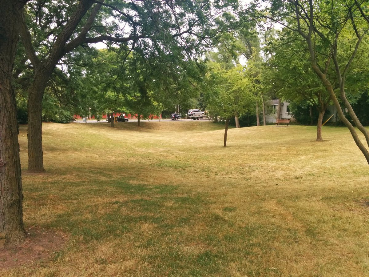
When you get to Bayview Village Park, this tributary suddenly appears…sorta. She’s as dry as a bone right now.

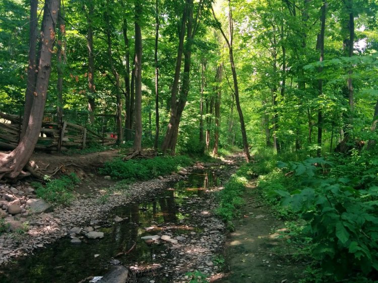
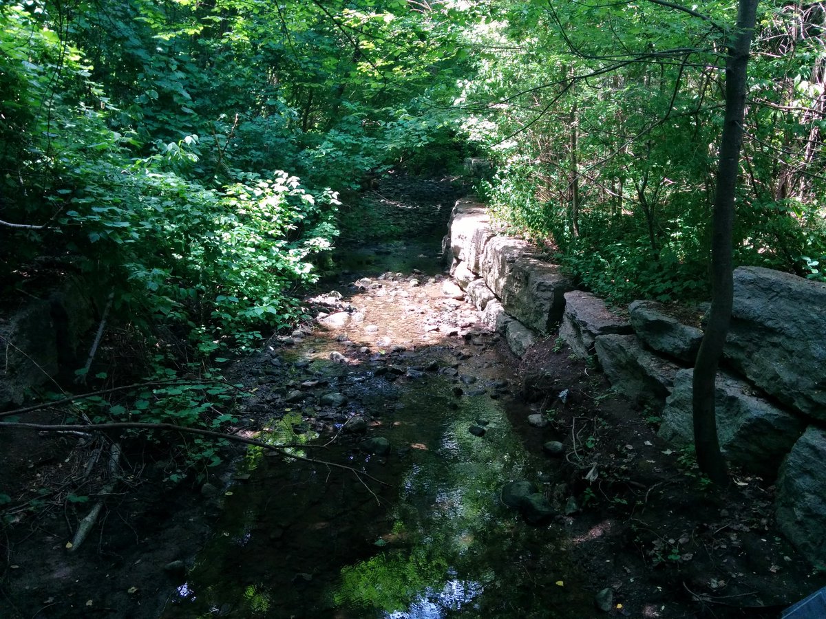
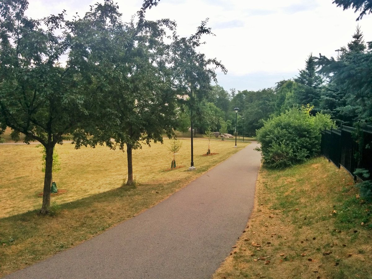
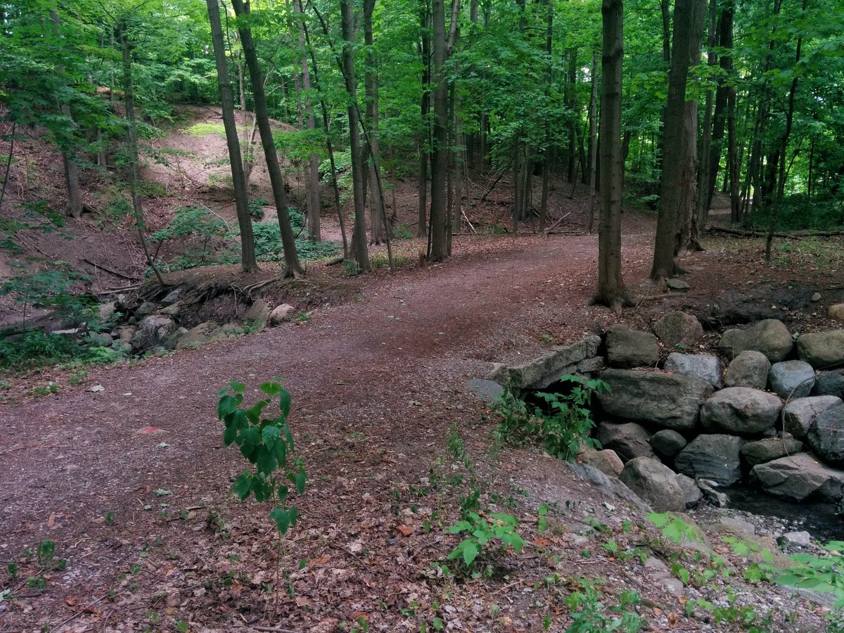
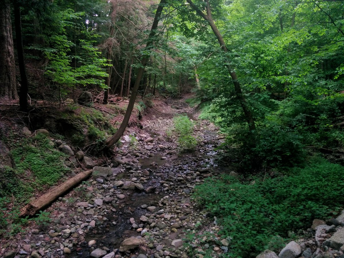
Hit a berm, and then go around for a block; it’s privatized for this stretch. Suddenly, you enter a proper ravine, and this creek is flowing. Proper trail, even a great meander going on here.

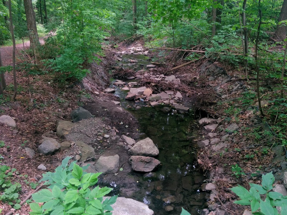
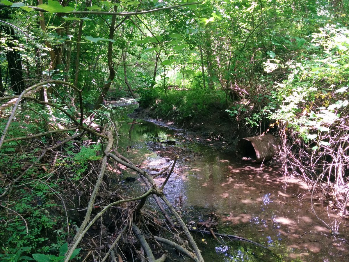
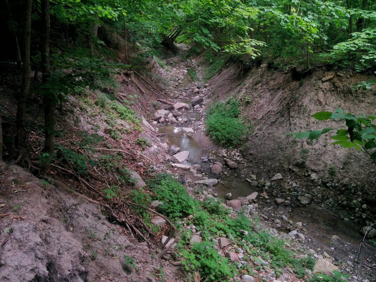
Okay, things get a little weird. Some good flow suddenly disappears. Then a dry 90° turn with a crash of rocks. Continues again further down. Okay…

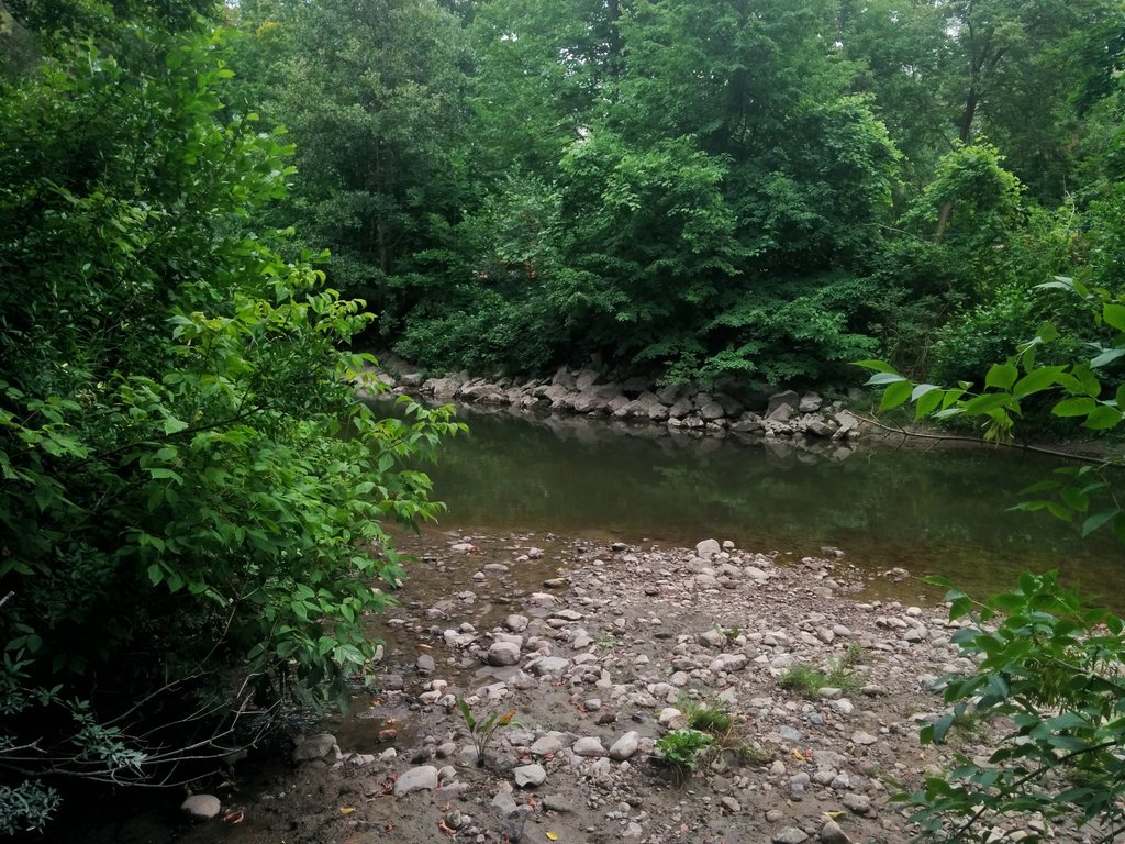
It’s hot trudging through the bush down here. I feel like I’m in a South American jungle, I’m sweating like crazy. At least it paid off, I found this tributary’s confluence with the East Don.


I’ve come full circle.

Date: July 13, 2018
Length: 15.1 km
Type: Riverine
Related Walks

East Don River upstream, plus a couple tributaries
East Don IV
Another East Don minor tributary upstream
Newtonbrook Creek