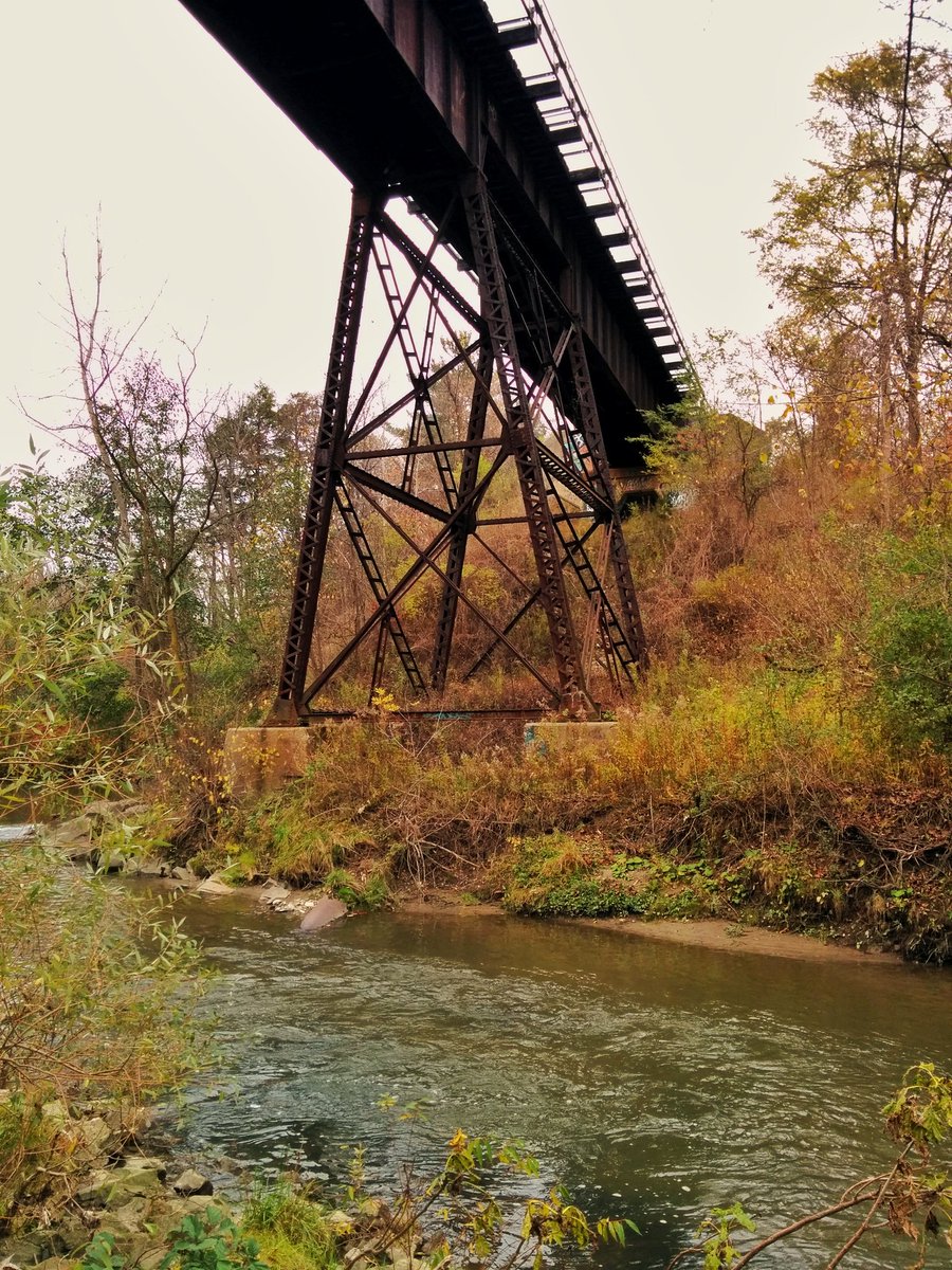
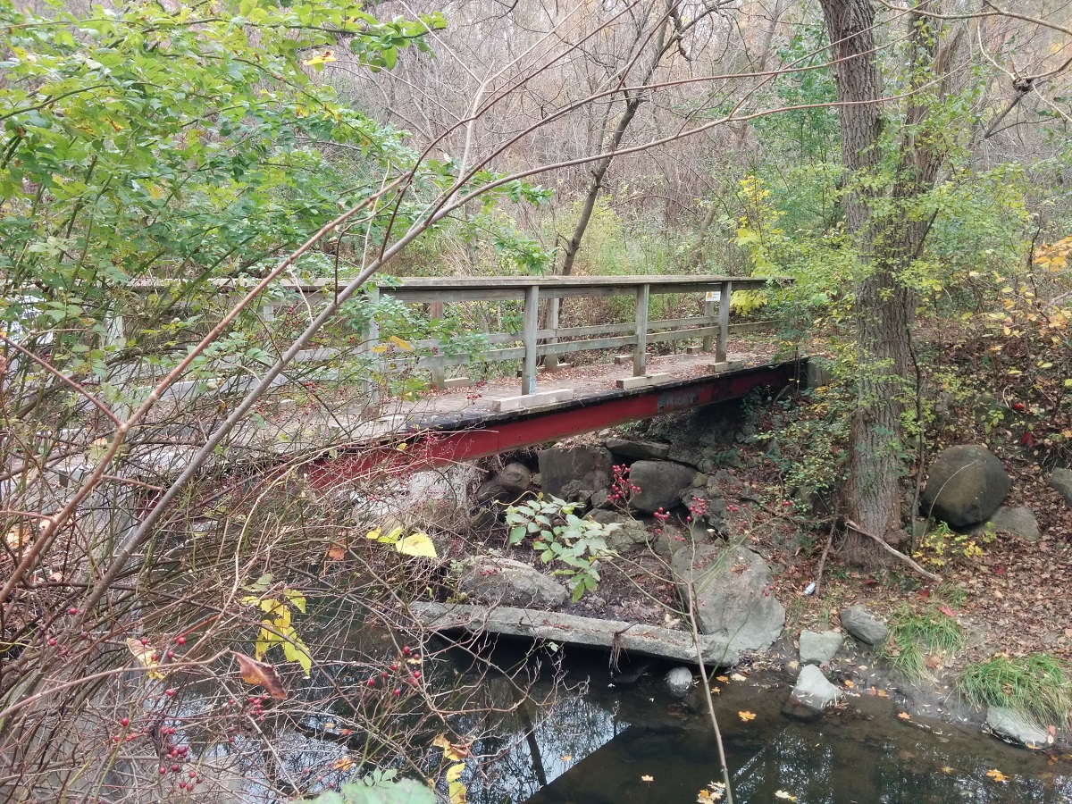
I’ll be exploring Newtonbrook Creek today. Gotta head up the East Don for a bit, and under this heritage bridge along the GO Transit Richmond Hill line.


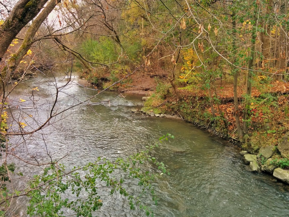
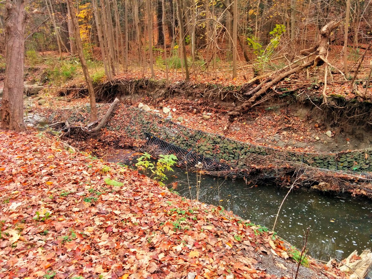
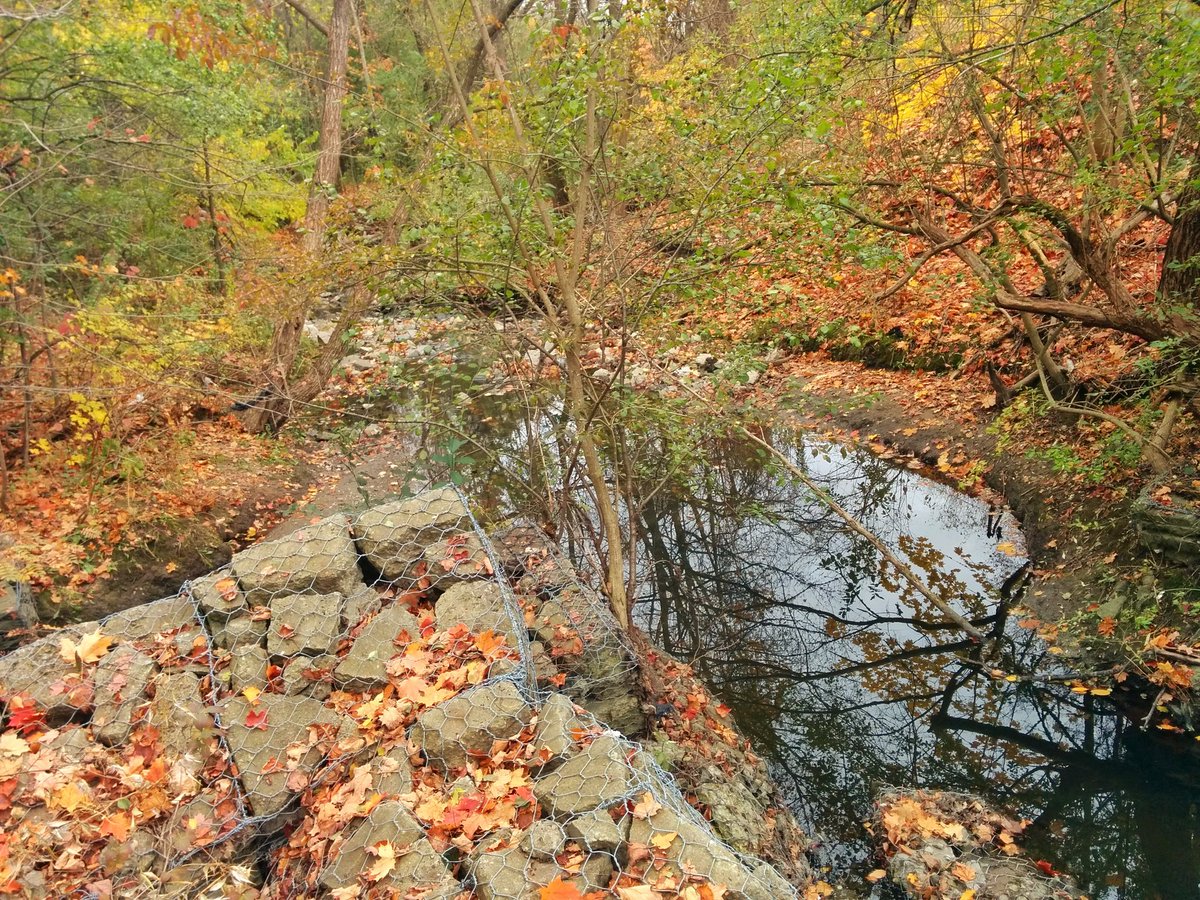
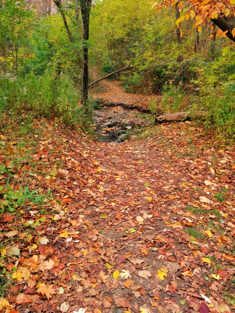
At the confluence. Erosion issues already apparent.

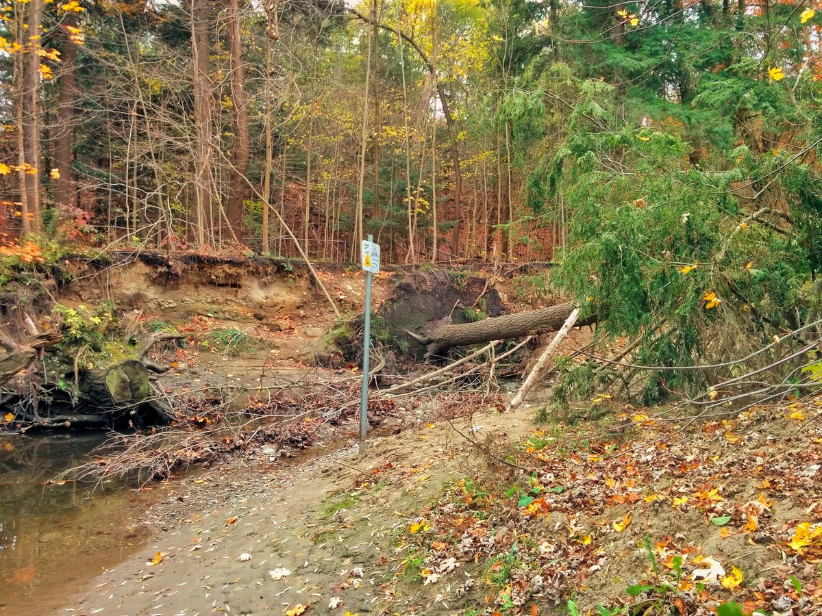
Significant erosion, to the point that the trail is getting eaten away. I’m all for daylighting, but how about de-berming open reaches while we’re at it.
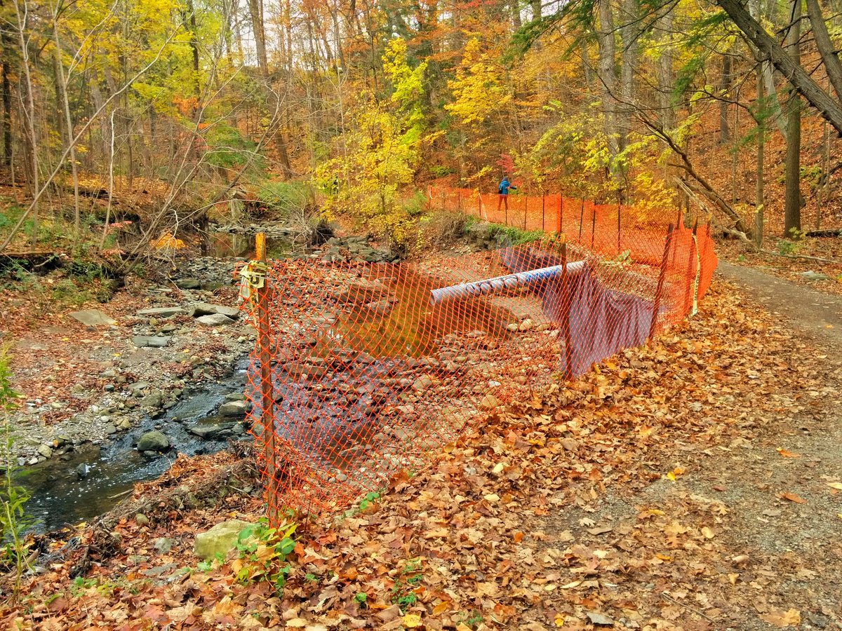

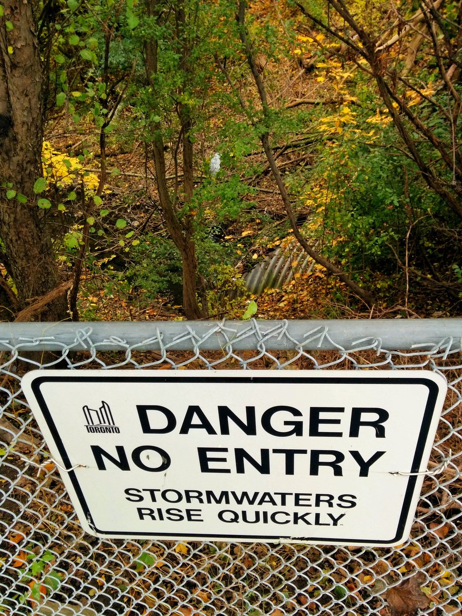
Got detoured at Finch. No formal trail north to the hydro corridor. Erosion is probably a big reason nothing has been established.

Some bushwacking required. I got off track in the fall foliage, missed a confluence and followed a tributary to an outlet in someone’s backyard.

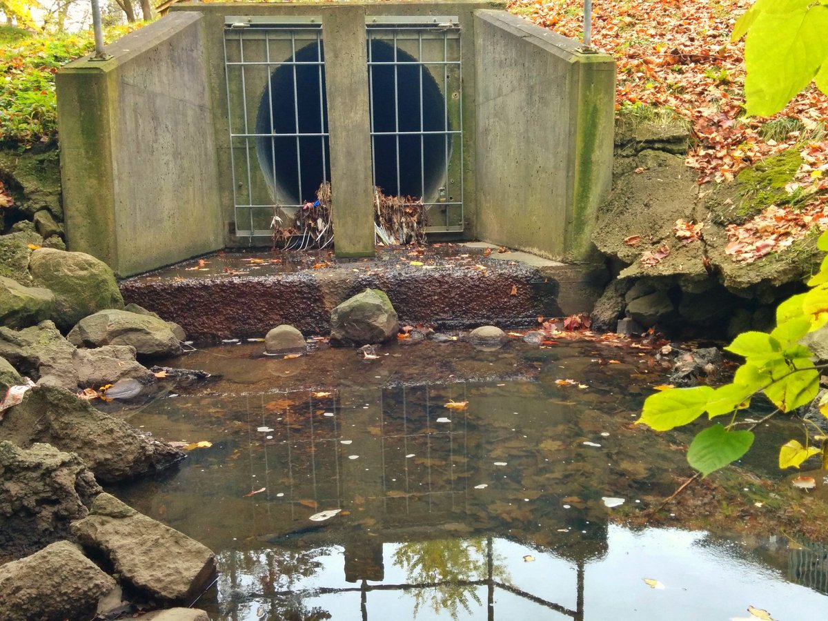
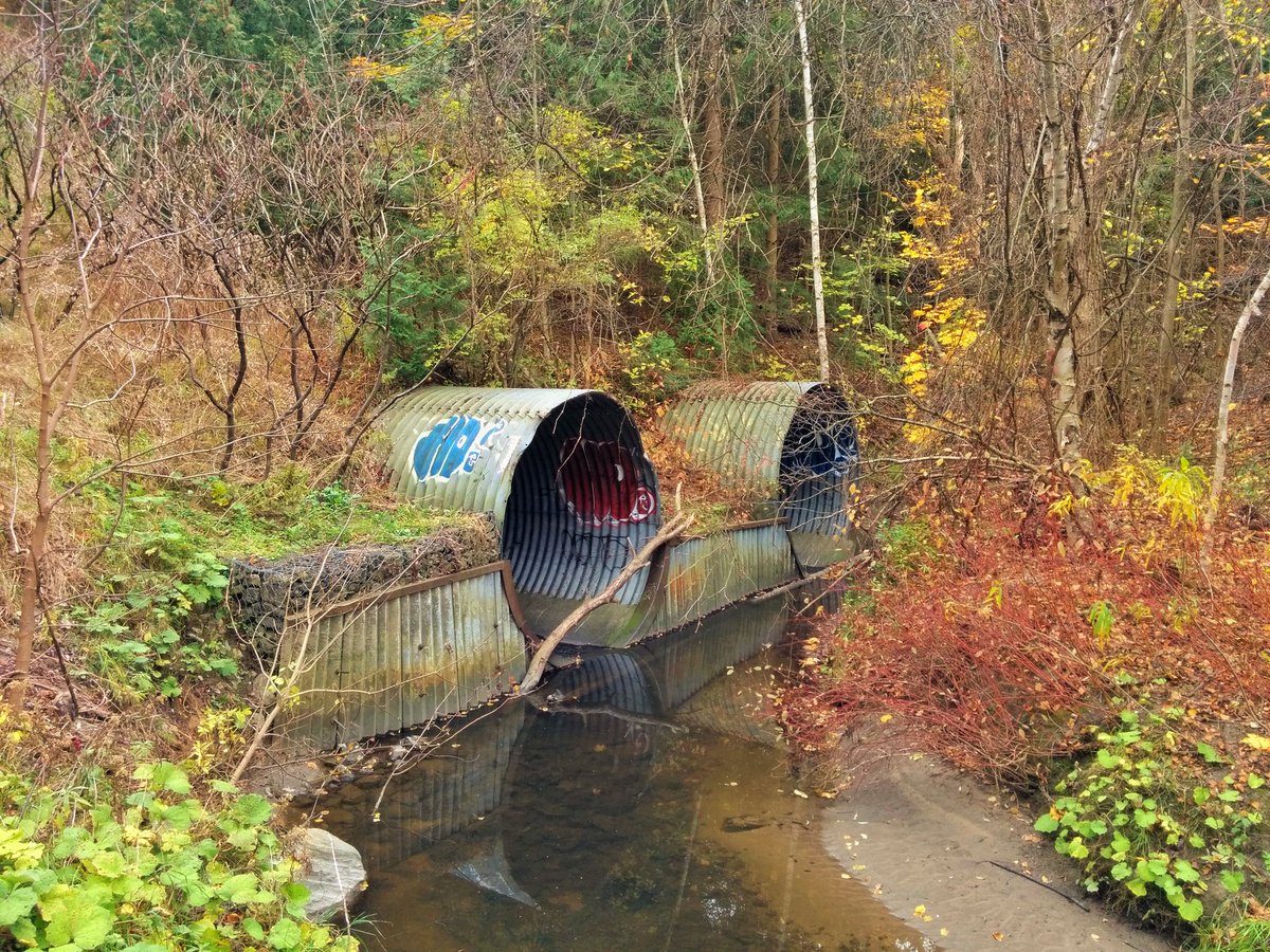
A culvert for Newtonbrook Creek where it parallels the Finch Hydro Corridor. I’m following a beaten path that crosses with no bridge.
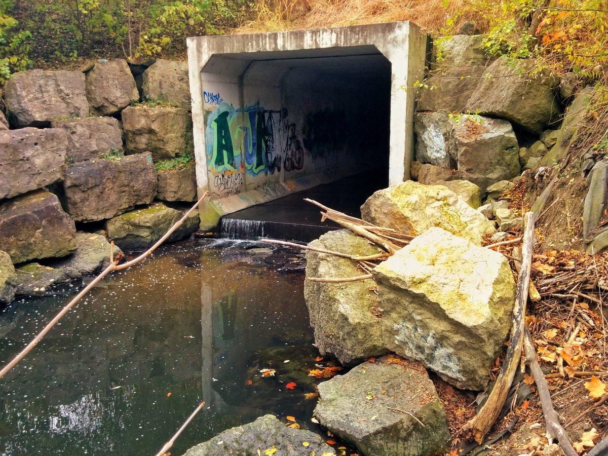
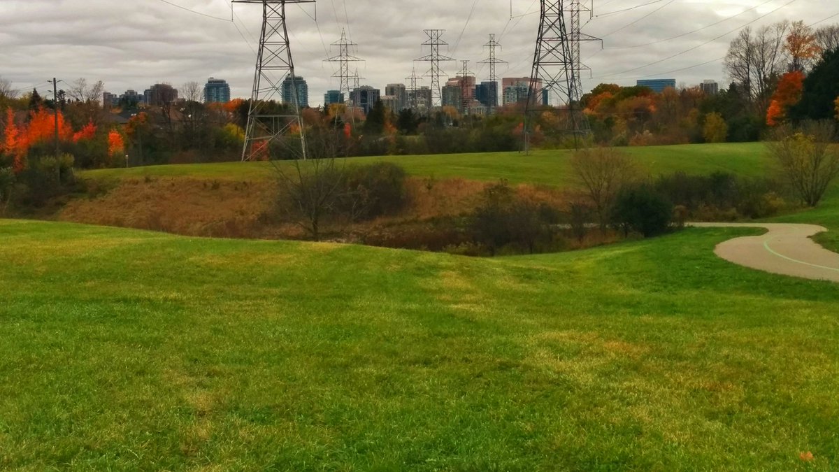
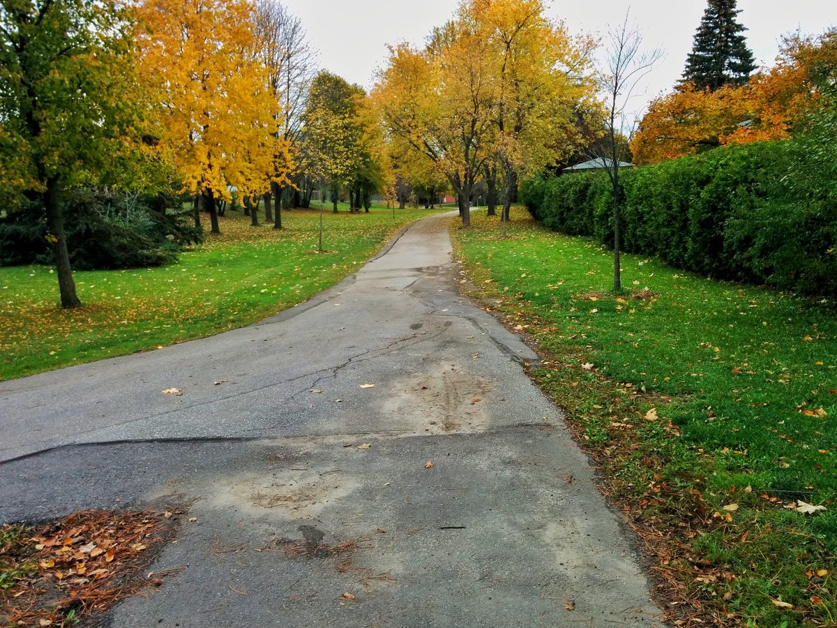
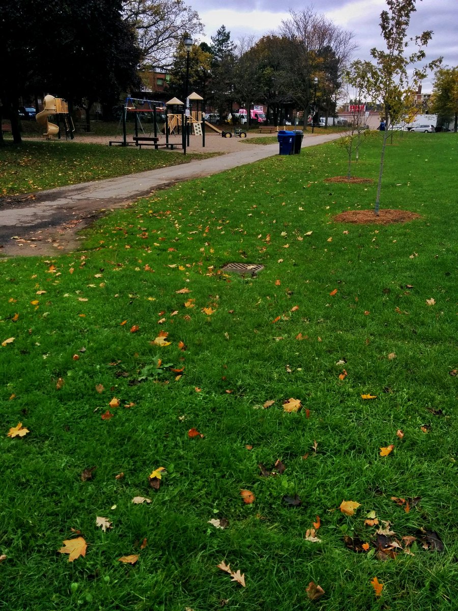
And that’s why we have erosion issues. Newtonbrook Park, named after the creek that they buried to establish it. Probably no further open reaches upstream of here.
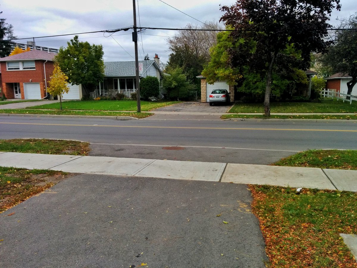
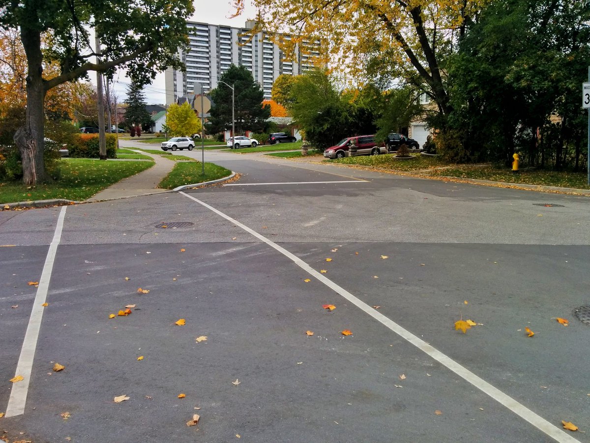
Housing development really makes the creek lost. Slight land depressions are the only clue, until parks with sewer grates appear.
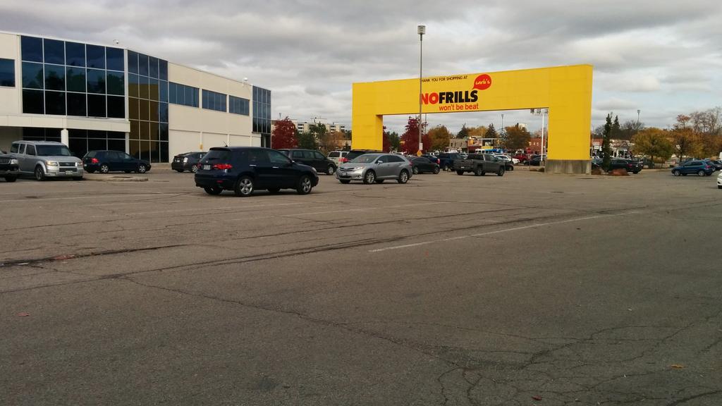
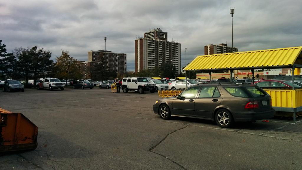
Eventually you get to Centrepoint Mall, the likely original headwaters for Newtonbrook Creek. All signs of the creek are lost. That ends the pursuit.
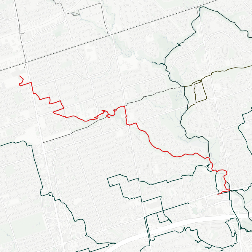
Date: November 4, 2017
Length: 9.1 km
Type: Riverine
Related Walks

Other East Don River tributaries close downstream
East Don II
East Don River upstream / downstream of confluence
East Don IV