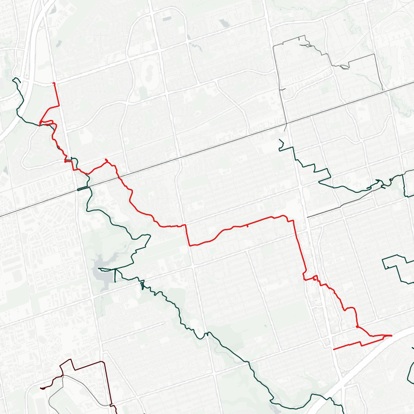
Good afternoon from North York. I’ll pick up from my previous walk along Wilket Creek south of the 401. There may or may not be a lost river to the north.


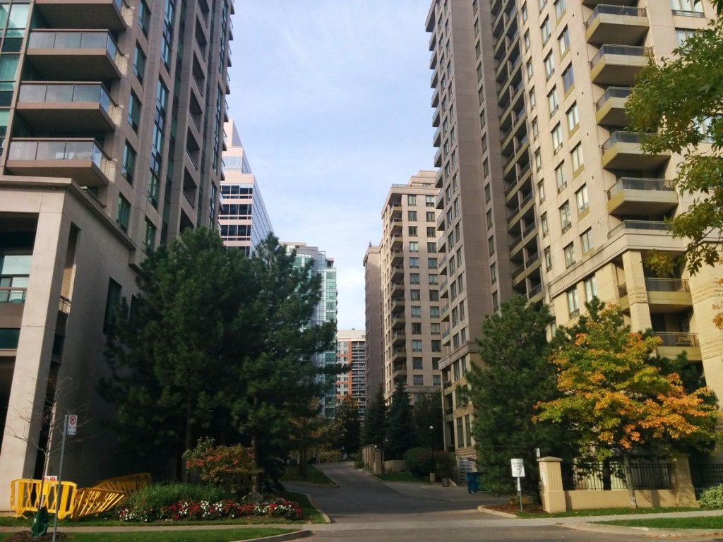
A system of parkettes appear to follow the old path of Wilket Creek, and if this isn’t evidence of a lost river, I don’t know what is.
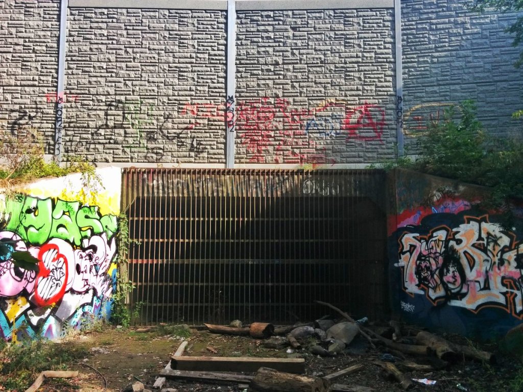

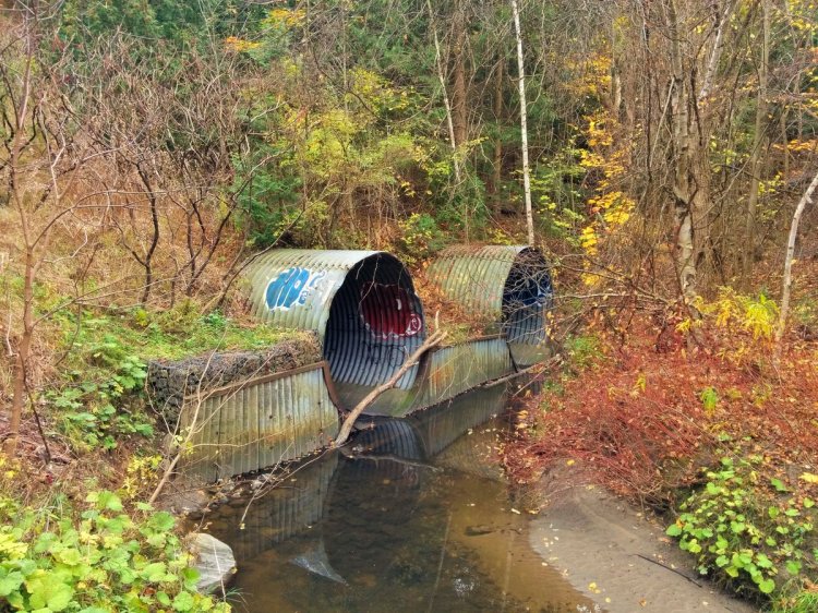
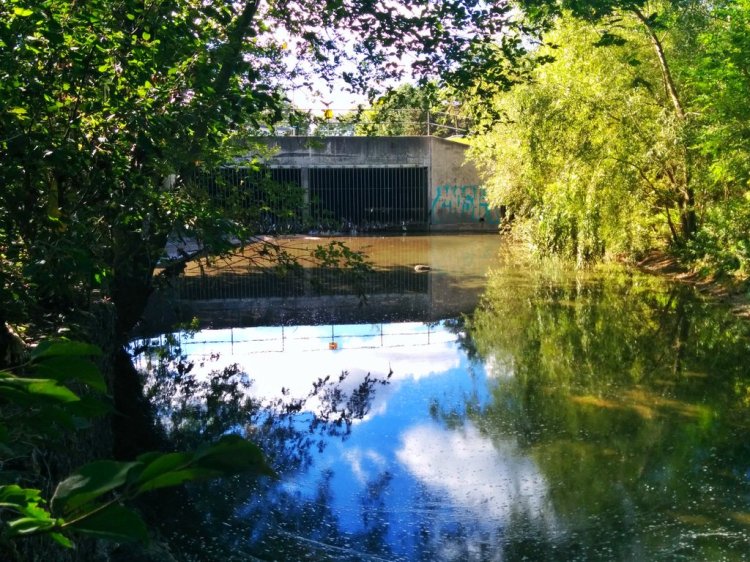
A surface ditch leading to a drain. And…boom! I give you, what has to be, Wilket Creek.


One of the most interesting lost rivers I have explored so far. Big surface ditches that drain to the buried sewer. Stratified stormwater management.


Endless bridges and ditches.


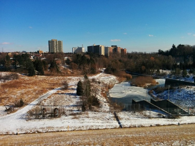
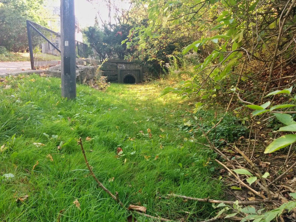
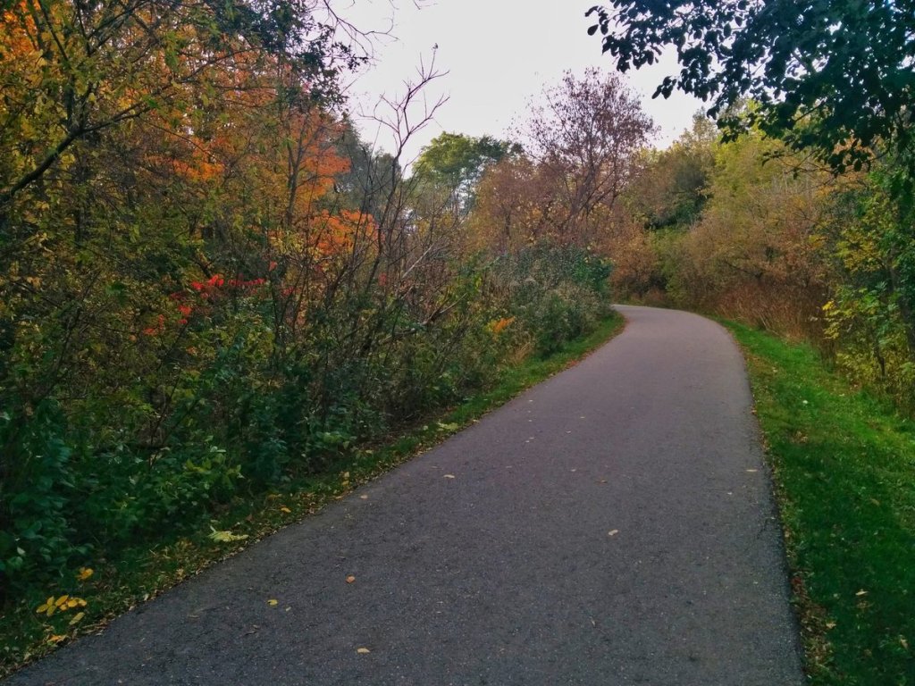
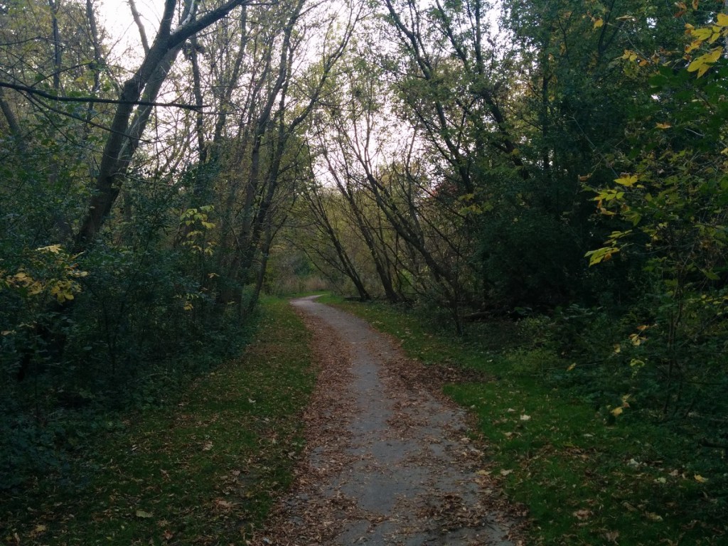
All of this stormwater infrastructure gives way to great trails & recreation parks. As much as I prefer natural ravines, this is well done.


Northwest of Doris and Empress, there’s one more ditch+drain before it gets lost in North York’s Centre.

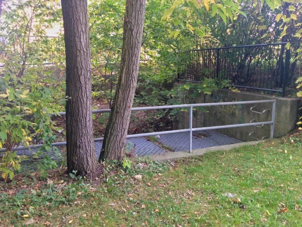

More ditches and drains. Likely into Wilket Creek sewer, but can’t say for sure. Toronto’s subwatersheds get pretty fractured up here.


Any sign of the creek disappears at the Finch Hydro Corridor. Time to shift gears and check out Fischerville Creek.


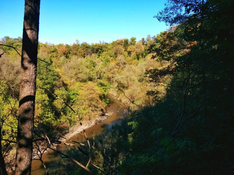
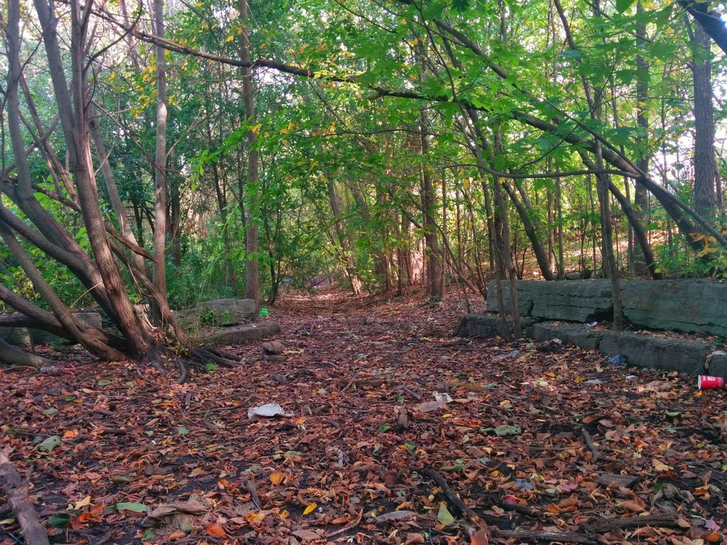
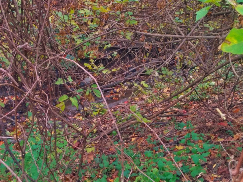
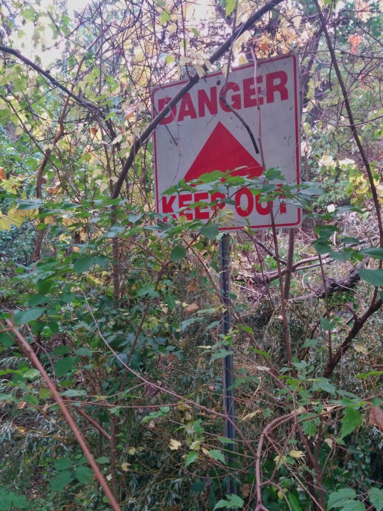
Despite beauty of the parks along Wilket Creek, ideally, a creek should look like this. Wide valley, thick vegetation, surface water. A true riparian zone.

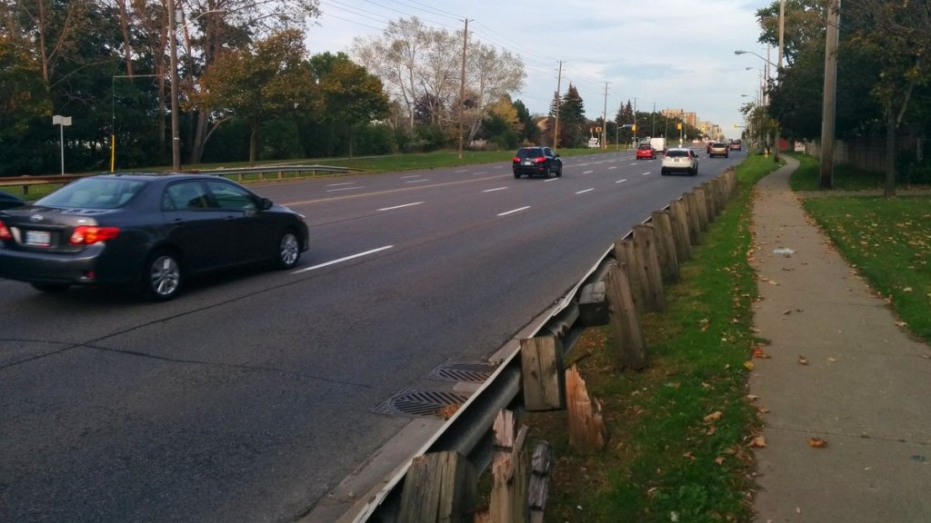
Large roads make following the creek difficult, especially as there’s no mid-block connections. Nonetheless, I trek on to the city’s north border.


A couple shots within Vaughan, before the light fails.

Date: October 21, 2017
Length: 14.3 km
Type: Riverine
Related Walks
Wilket Creek downstream of the 401
Wilket Creek
West Don River, in close proximity to the west
West Don III