Good morning. Now that the temps / humidity are a bit tamer, it’s a better day for a walk. Today, I’ll be following the East Don from north of York Mills to the north border of the city, and then turning back east and south to trace some of its tributaries. Let’s go.
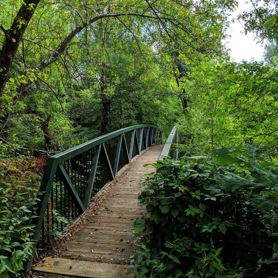
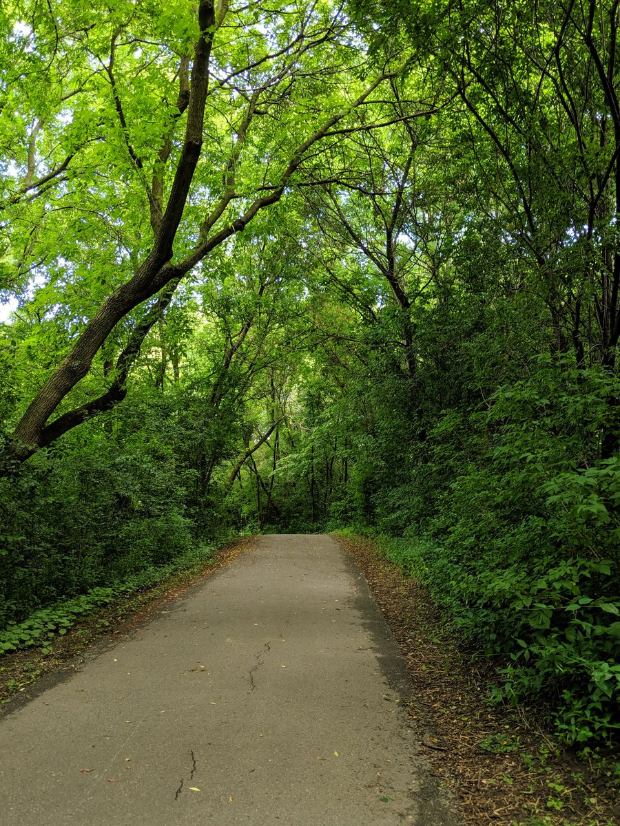
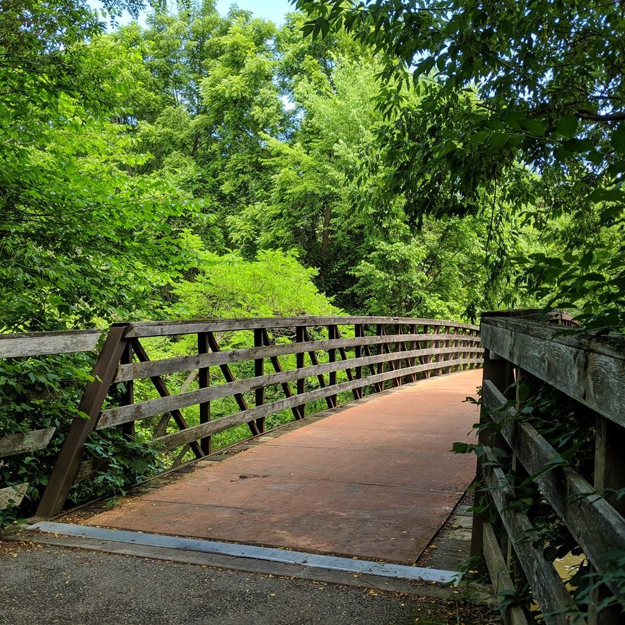
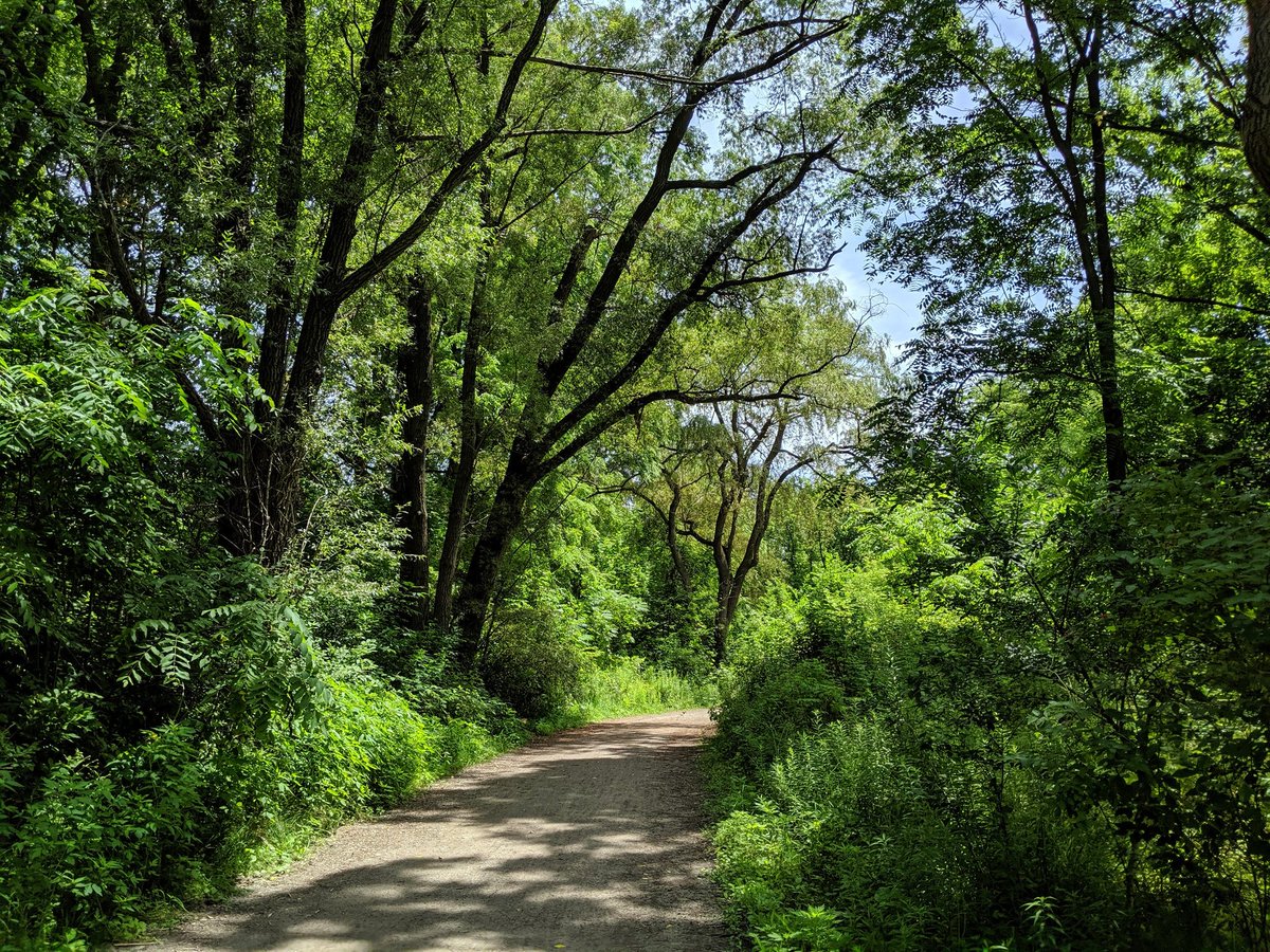
A bit of trudging through dirt and grass, and then a formal trail. Vegetation is thick and lush from last night’s rain. Good wooden bridges to start.


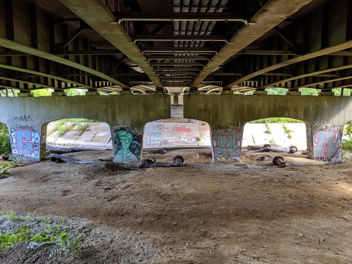
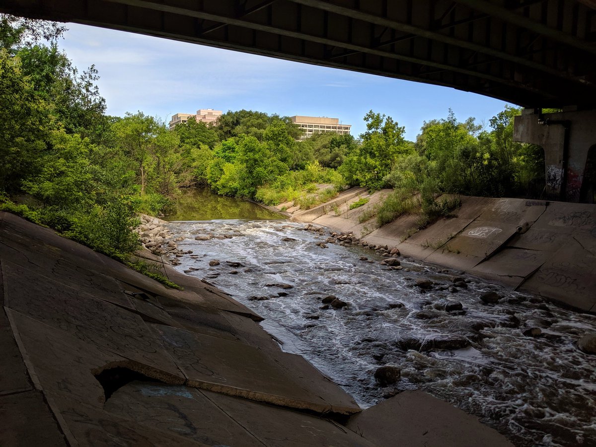
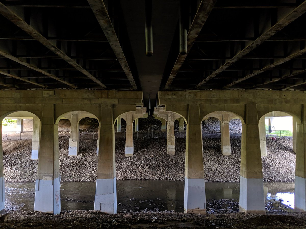
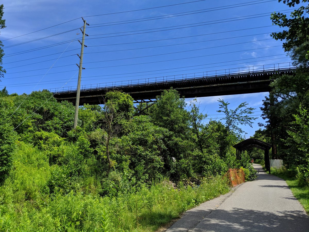
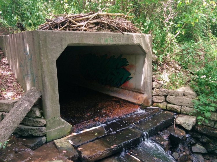
The only spoiler to this peace is noise from the expressway. This cathedral of an underpass must be where one prays to the automotive gods.


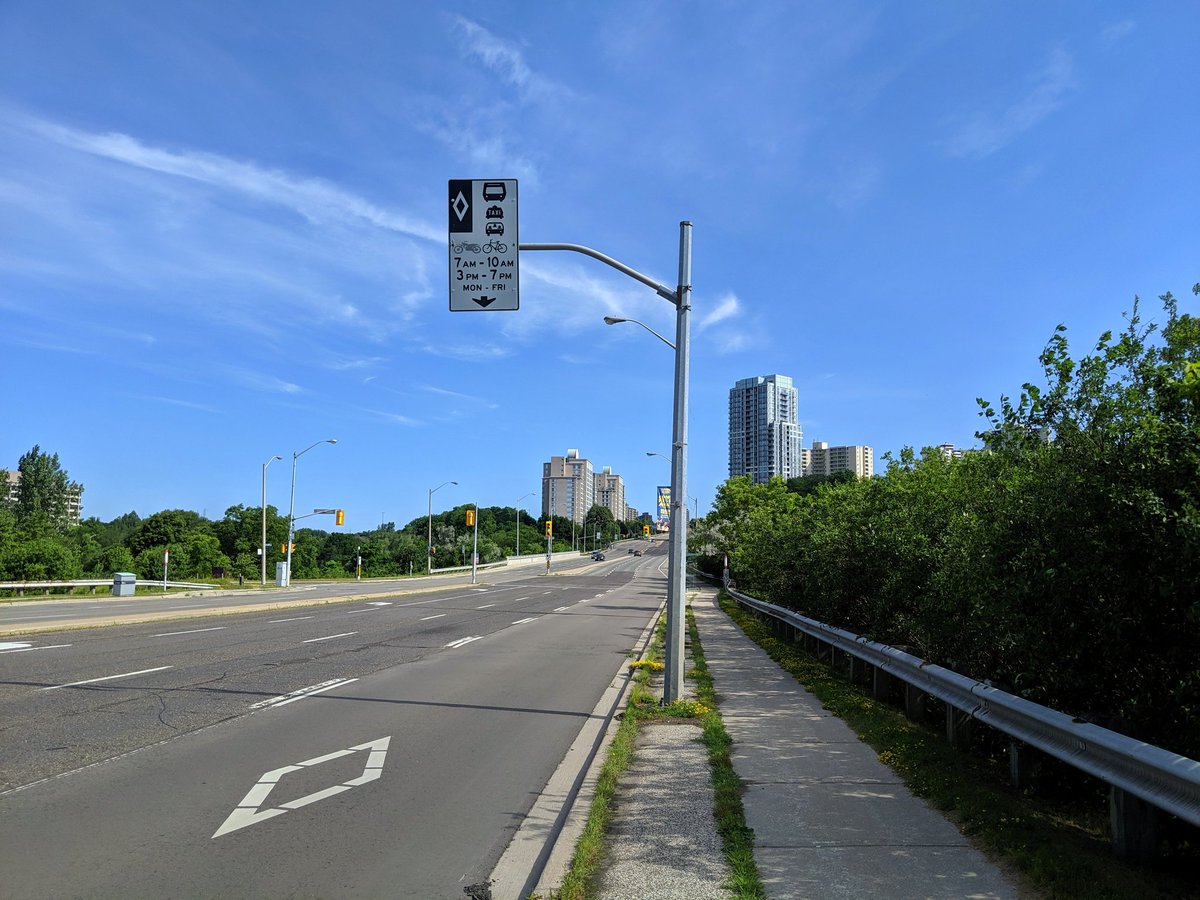
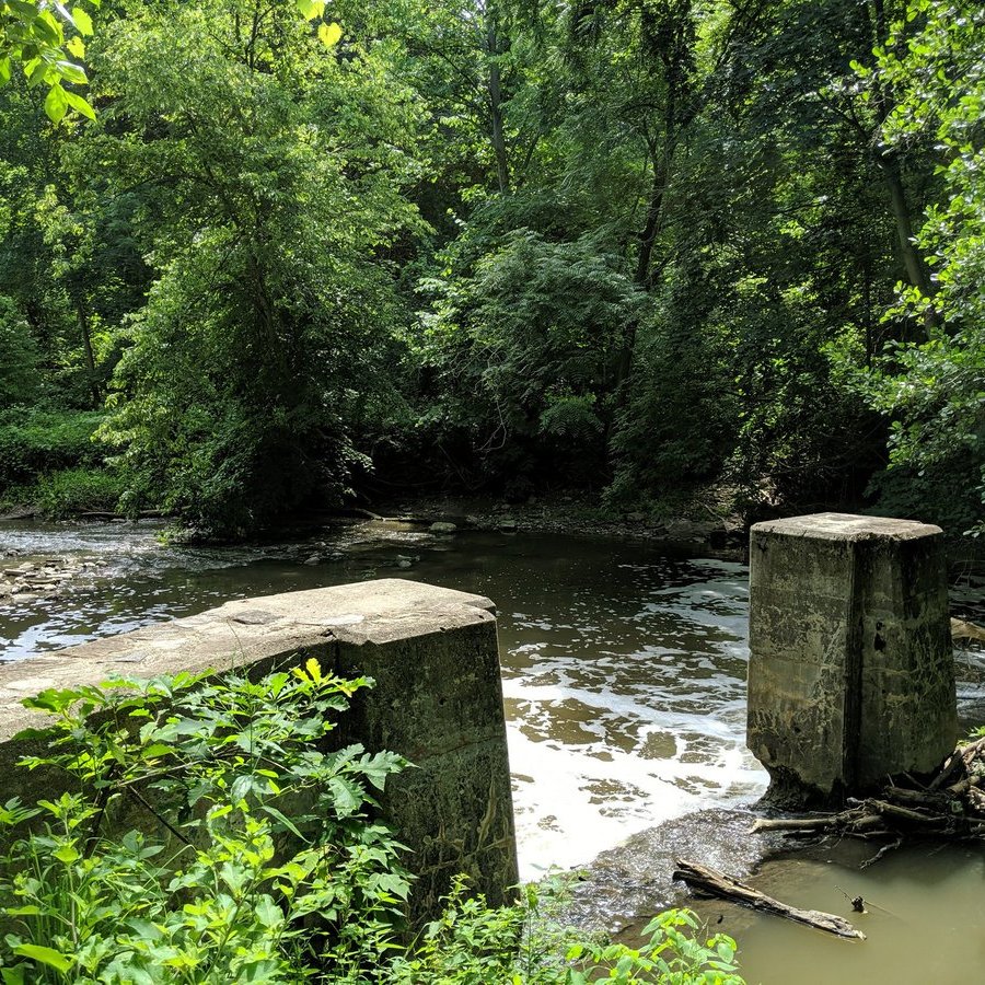
Further on to York Mills and Leslie, where they engineered this thing that can carry cars over the river, but not people under the cars.


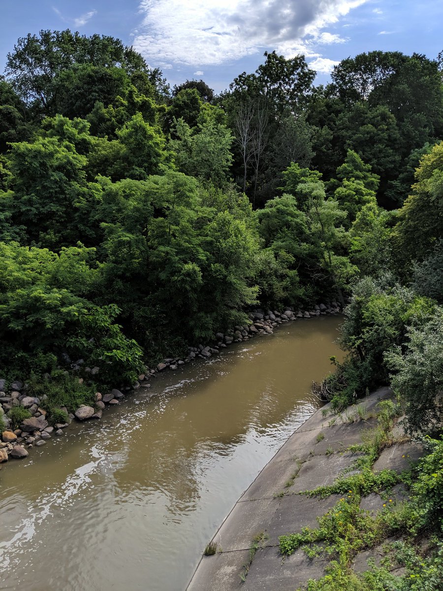
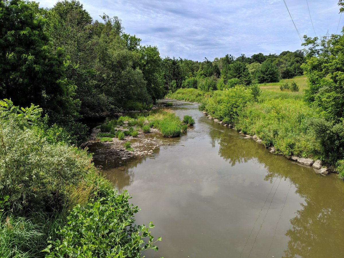
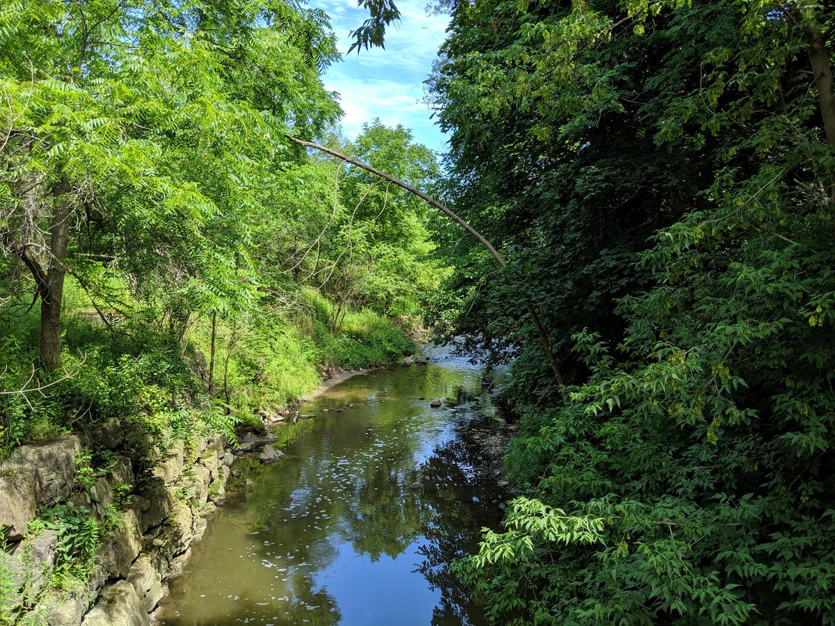
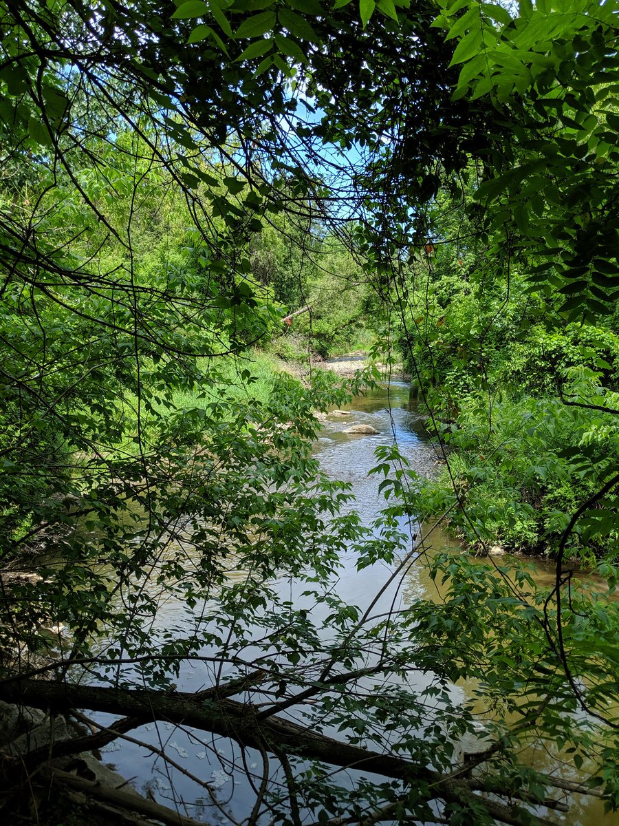
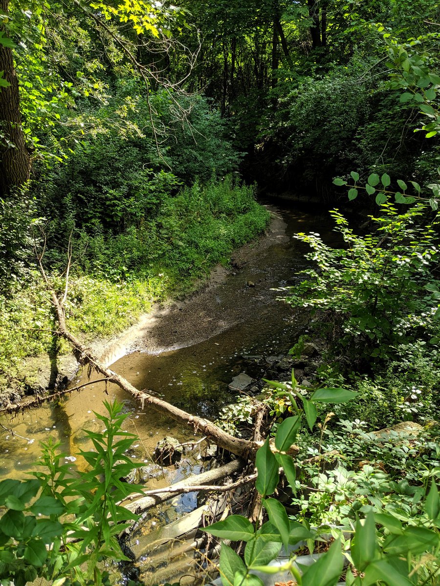
Back to thick forests and big bridges. Some pretty good rapids and meanders going on here.


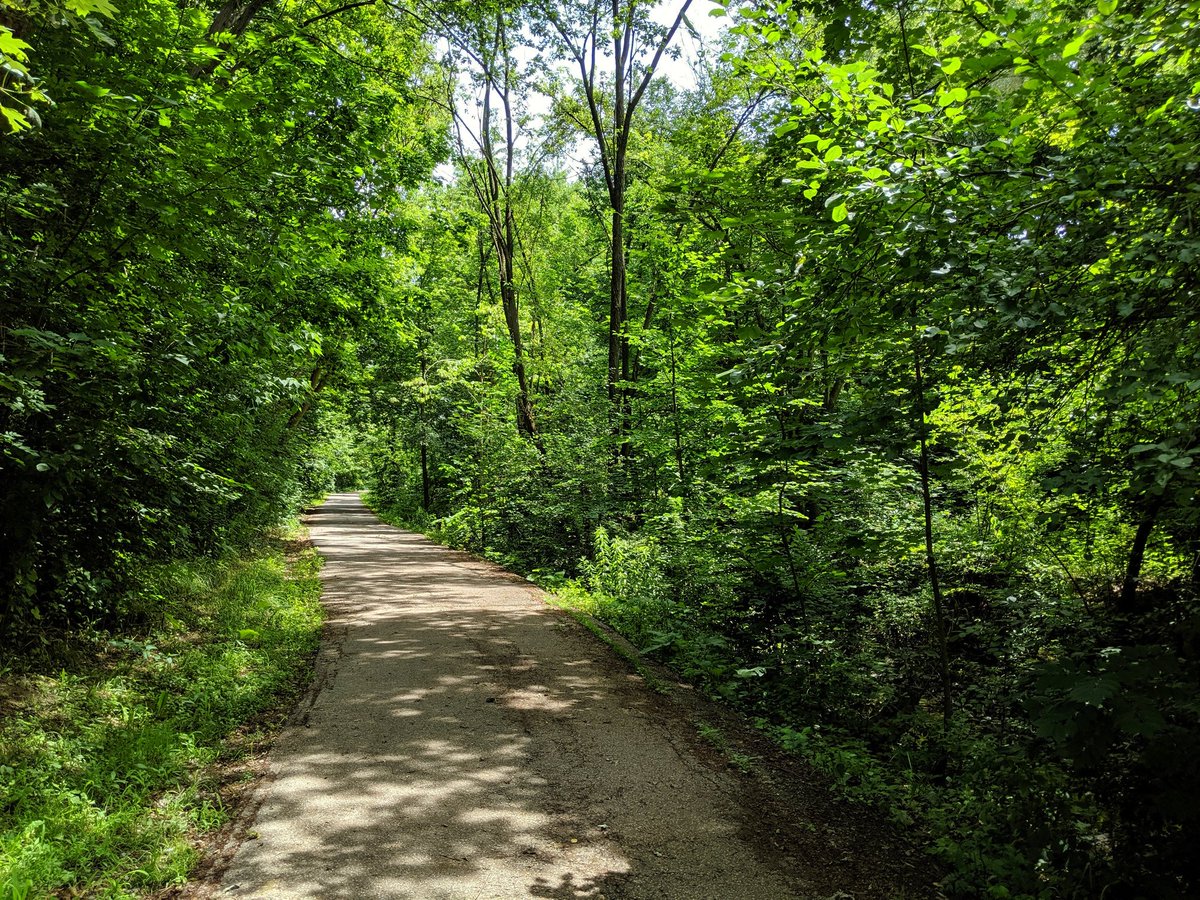
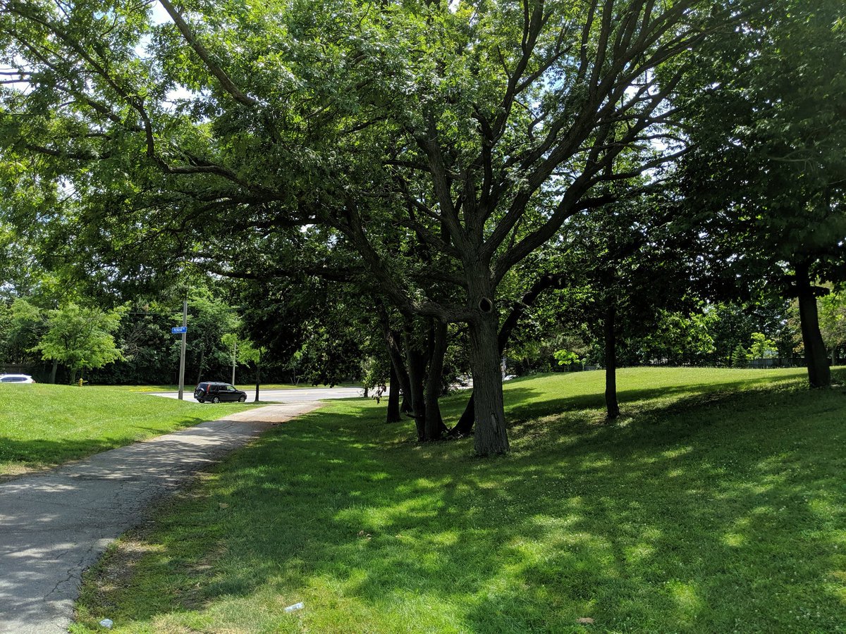
I recall walking this stretch between Sheppard and Finch 3 years ago. Mind was blown over how quiet it was, and it hasn’t changed. You forget that you’re in a big city here, it’s very therapeutic.


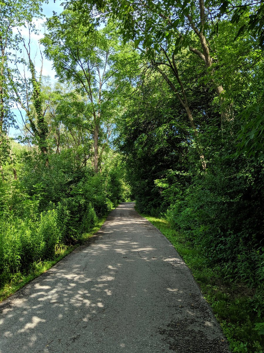
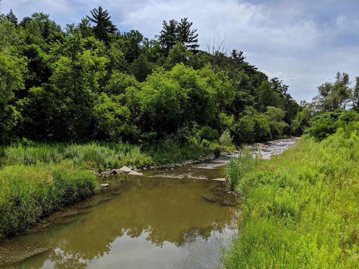
The relative urban silence continues north past Finch. Few more open parts but still quite excellent.


Until this point, the walk had been luxurious. Went off the formal trail to try and keep following the East Don, the beaten path was a dead end, and I got swarmed by mosquitoes.


With that, my pursuit of the East Don is over. I now continue northeast along German Mills Creek from its confluence.

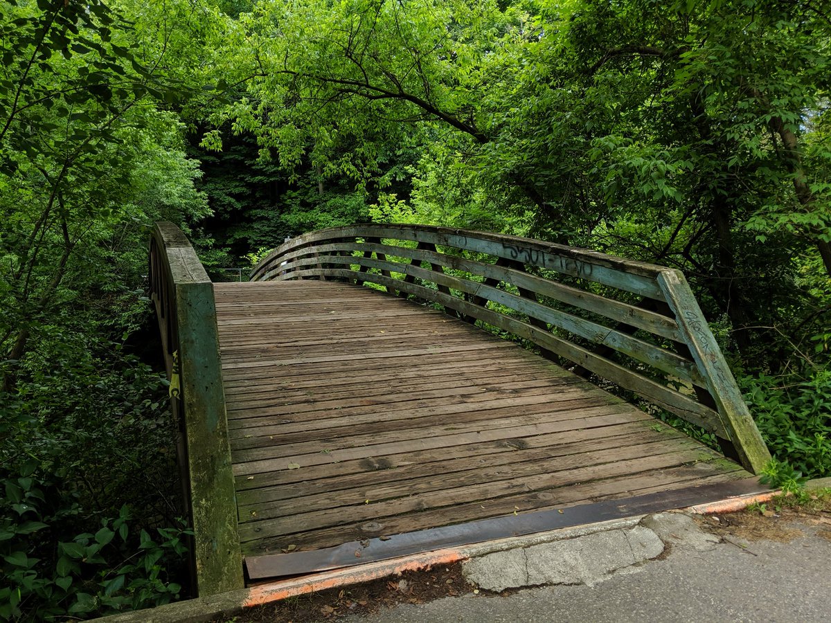
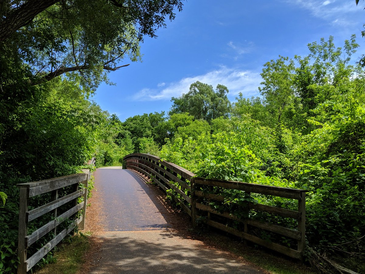
Finally got to knock traversing this pedestrian bridge off my bucket list. Such a great connection, it’s a shame more of these don’t exist in smaller or larger scales.


Just like the East Don, German Mills Creek leads north to the top of the city, in this case at Steeles and Leslie. Crossings here have been partially improved, but the traffic light across Leslie took two minutes. These are for ticking boxes, not serving pedestrians and cyclists.

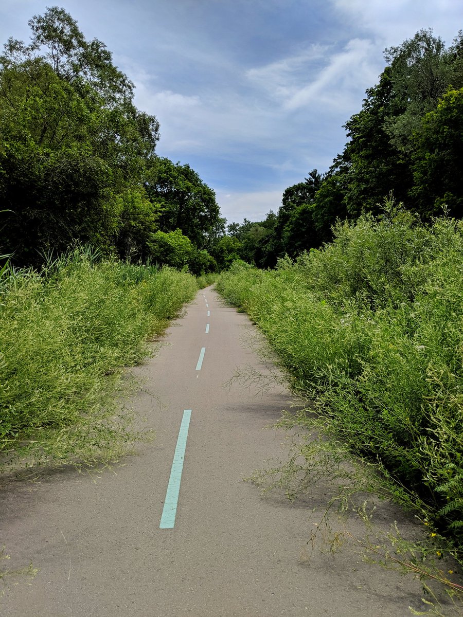
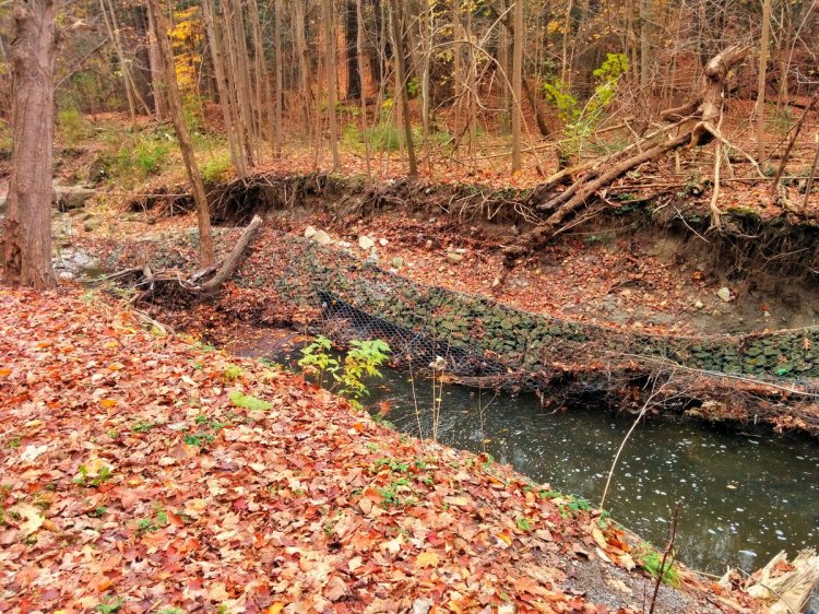
German Mills Creek continues north, but this happens to be its confluence with Duncan Creek, so I continue east. Some work was underway when I was here 3 years ago to rehabilitate the slopes, and it’s work well done. Almost too good, the wildflowers are taking the trail over.

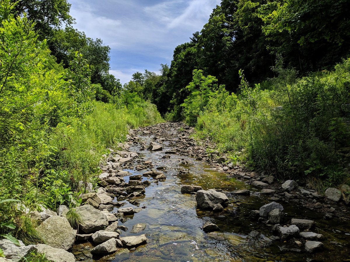
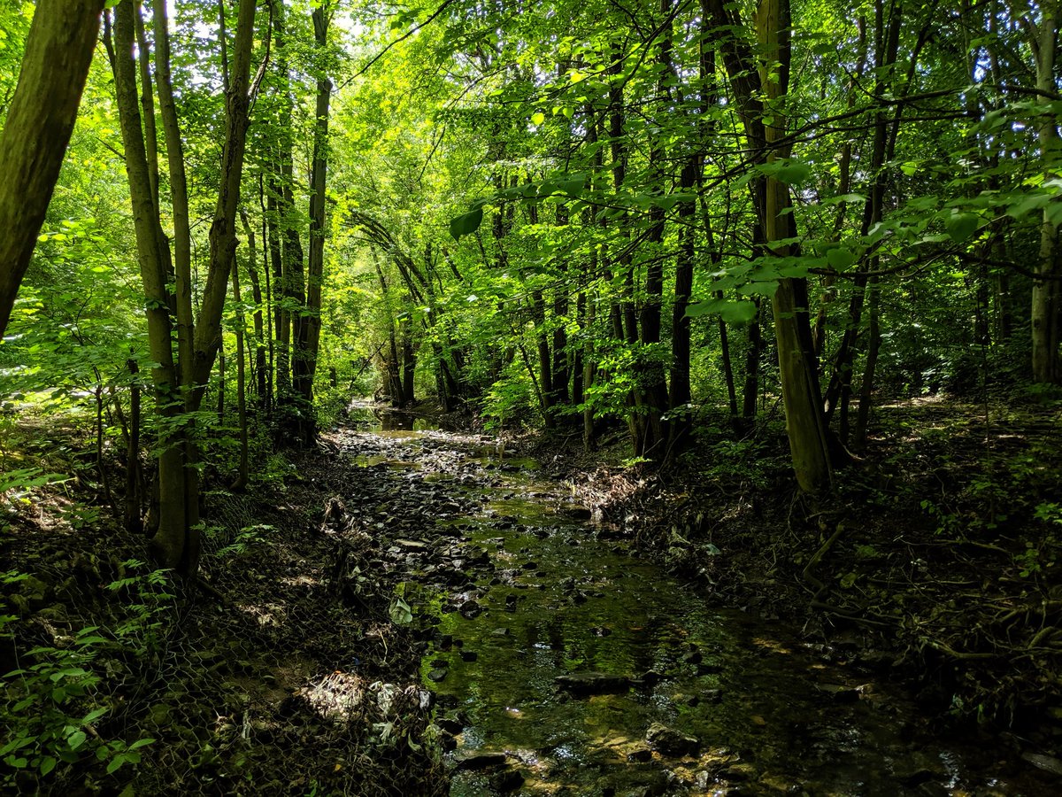
The creek is small and a bit urbanized with gabions lining the bed and the banks. But the vegetation cover is great.

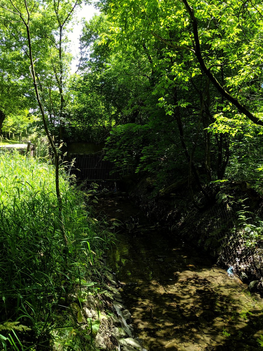
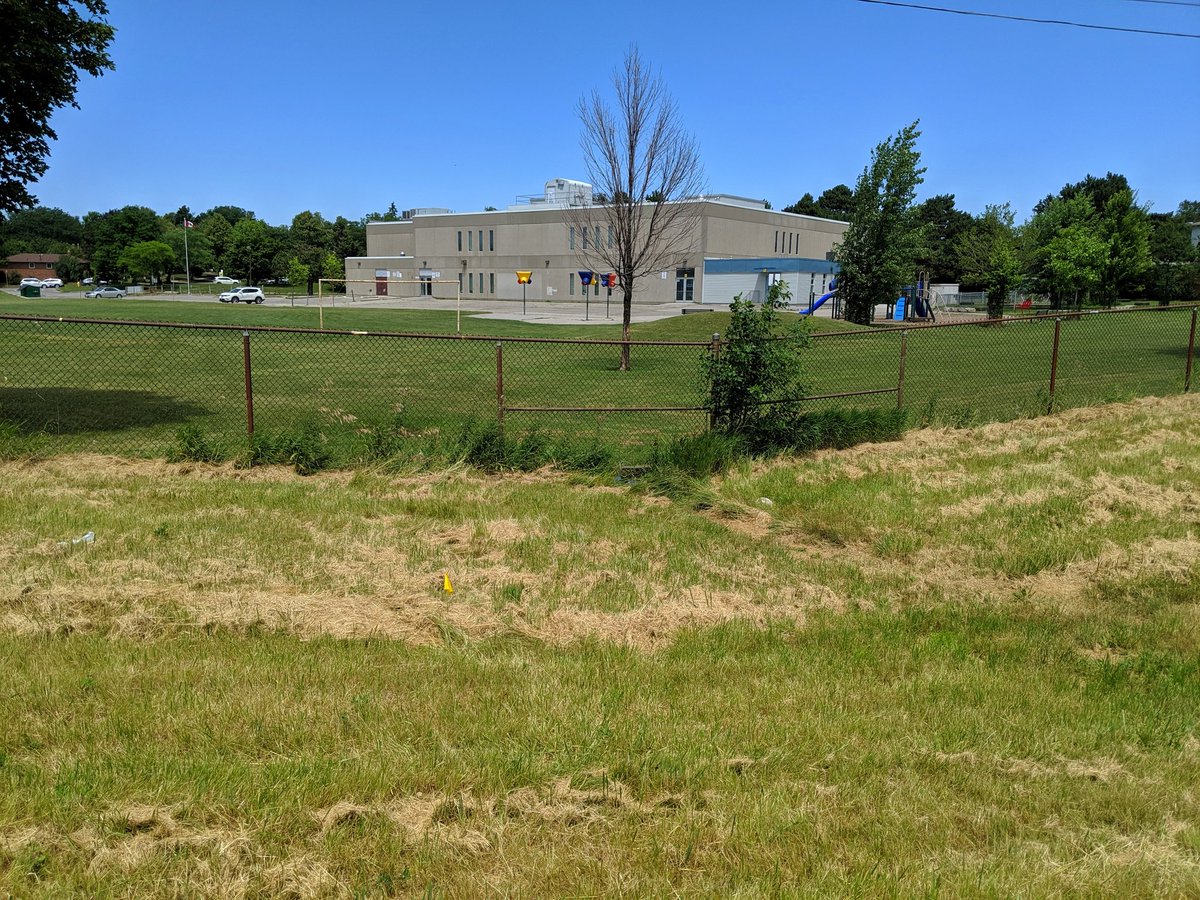
All of a sudden, the temperature drops 5°. Turns out to be air flowing out of an underground channel. Duncan Creek is lost just west of Don Mills, and there’s very few signs of it as you approach a local public school.


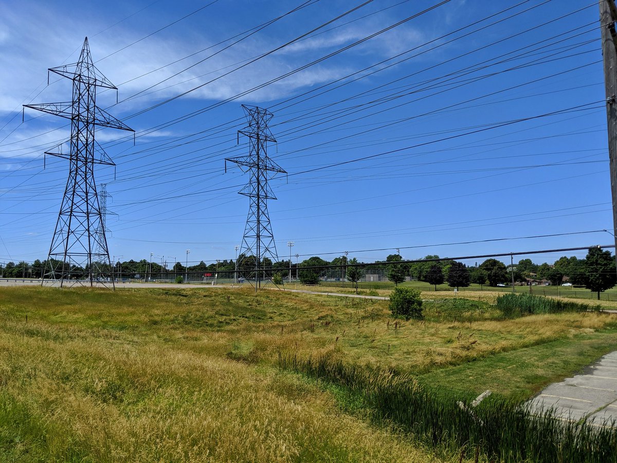
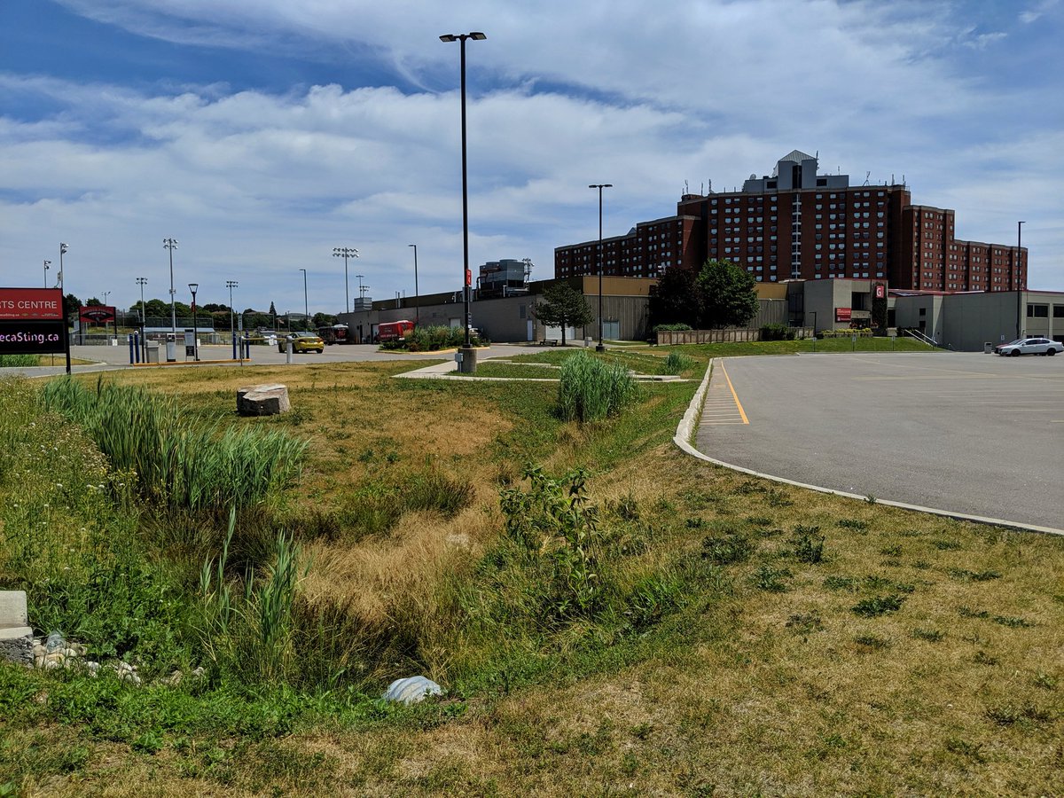
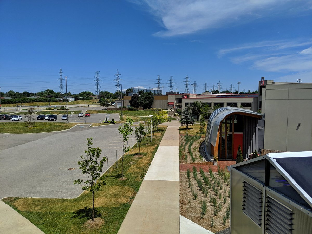
Seneca happens to be where the remnants of Duncan Creek’s headwaters are. Parking lots drain in a fashion to mock the creek’s former flow. This marks the end of this run, I’m headed south to trace another lost tributary of the East Don.

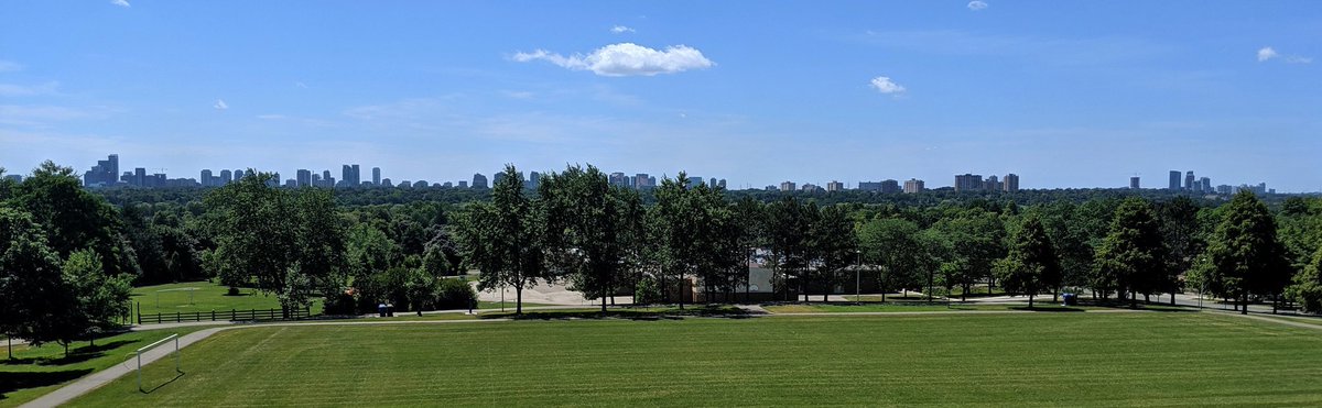
From an overlook of Duncan Creek’s headwaters to an overlook of the East Don with the Yonge streetscape on the horizon.
So the lost unnamed tributary of the East Don starts around Bellbury Park, and continues south through Lescon Park. Contiguous linear parks are usually a good hint at former creeks. When the local topography slopes down to them and you see drains and ditches, that confirms it.


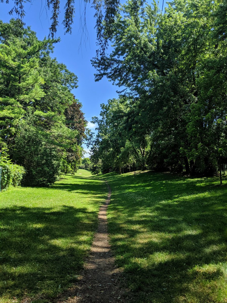
Thought I’d be following a valley of manicured grass for some time, but north of Sheppard, it turns into a proper ravine. The tributary flows as surface water somewhere at the bottom; can be heard but not seen.

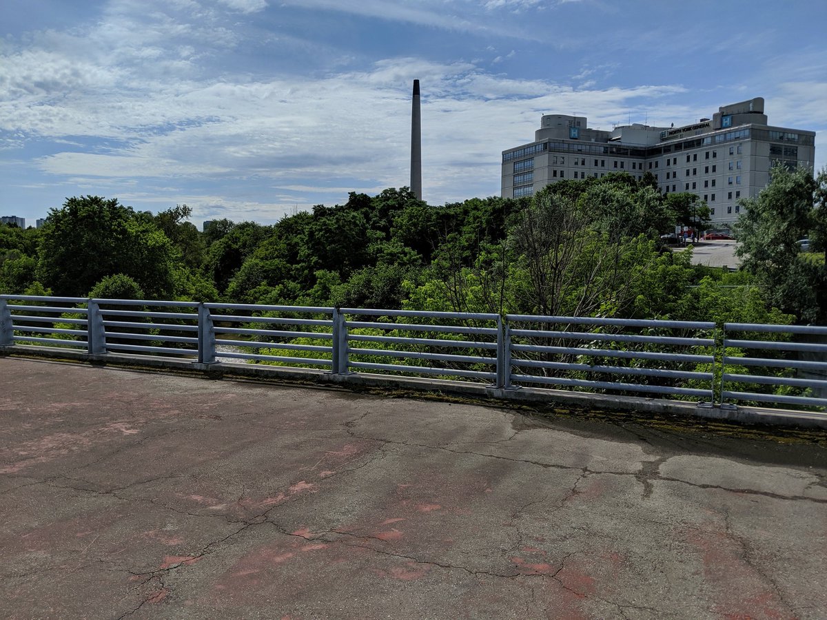
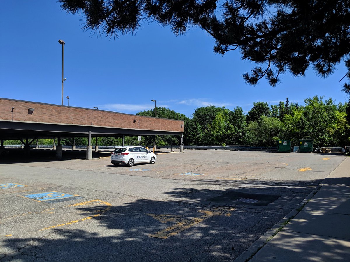
There’s no way to follow the tributary south of Sheppard, no trails or footpaths in behind this medical building. It all leads back to the East Don; I managed to catch a glimpse of it along the trail earlier this morning. That’s a wrap for today.


Date: July 21, 2019
Length: 16.9 km
Type: Riverine

Related Walks

East Don continued downstream
East Don and West Meadoway
Two minor tributaries to the west
East Don II
Another minor tributary to the northwest
Newtonbrook Creek
Intersecting hydro corridor to the east
Finch Hydro II


