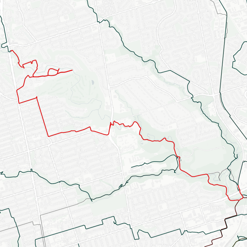
Let’s do some walking. We’ll start today along the West Don, taking a back way into Sunnybrook Park.


Serena Gundy picnic areas. Ducking through here and the fringe trails into Sunnybrook.


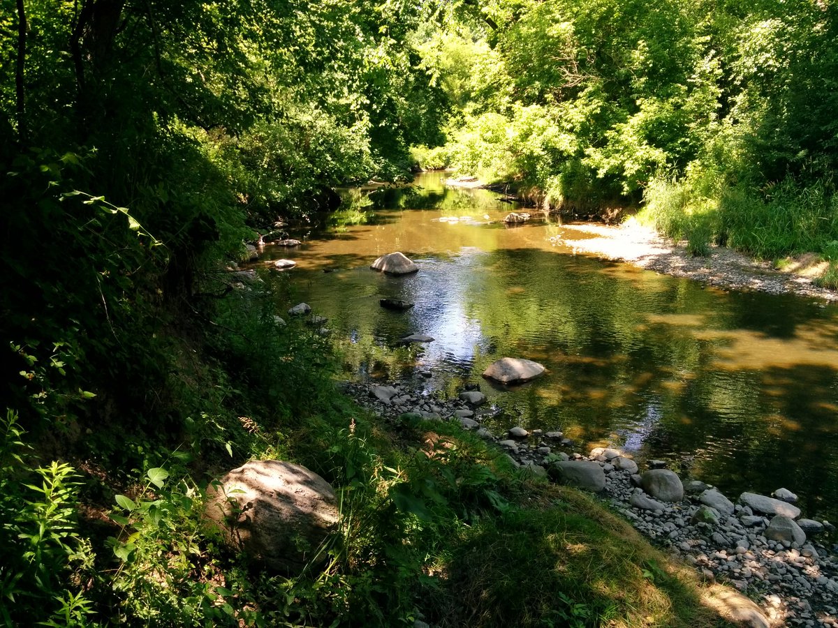
Past the drive-in picnic areas of the Metro days, and back over to the west bank of the West Don. Getting into the thick of it.


Things get restricted. Private property in the valley. Two bridges decommissioned.


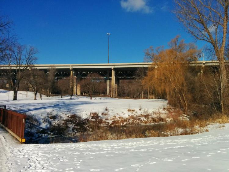
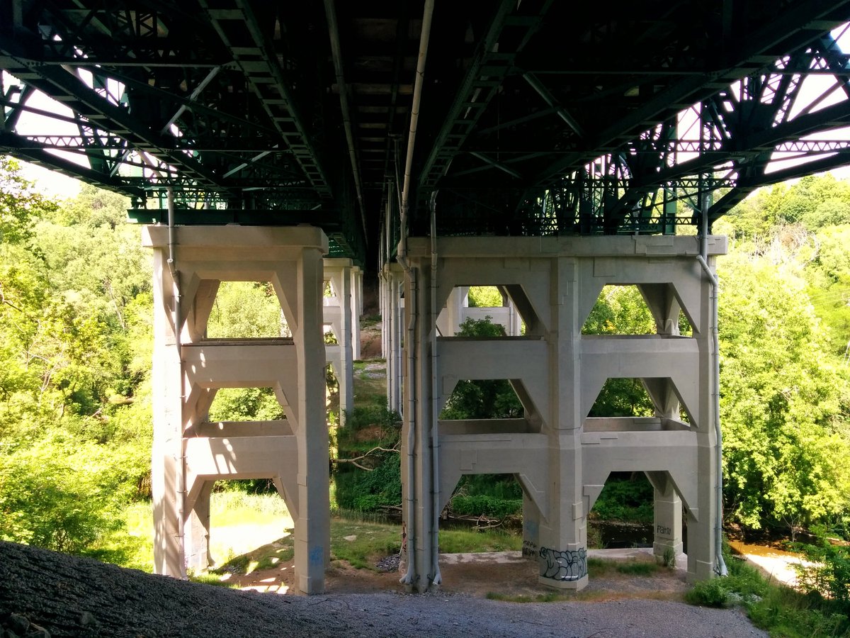
Bridge in York U Red to F Lot. Under the bridge to Bayview. A view from the bridge over the river. A river of cars under an unnecessary bridge.

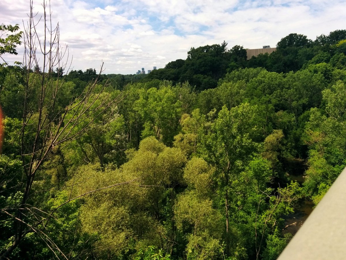

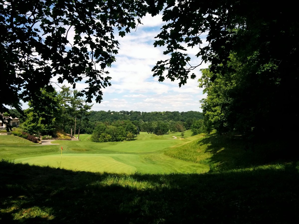
Forced out of the valley, where I was comfortable in the shade and the temperature was tolerable. Refuge is now limited to mature trees in Teddington Park. Doncliffe Loop, head of Mount Pleasant Road. View of the golf course, and what could have been a nice cool stroll.
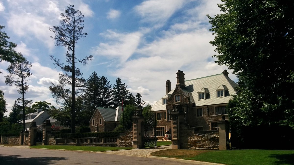

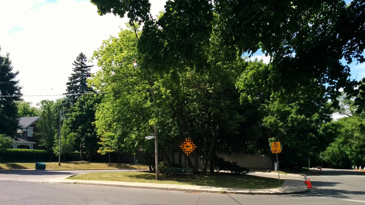
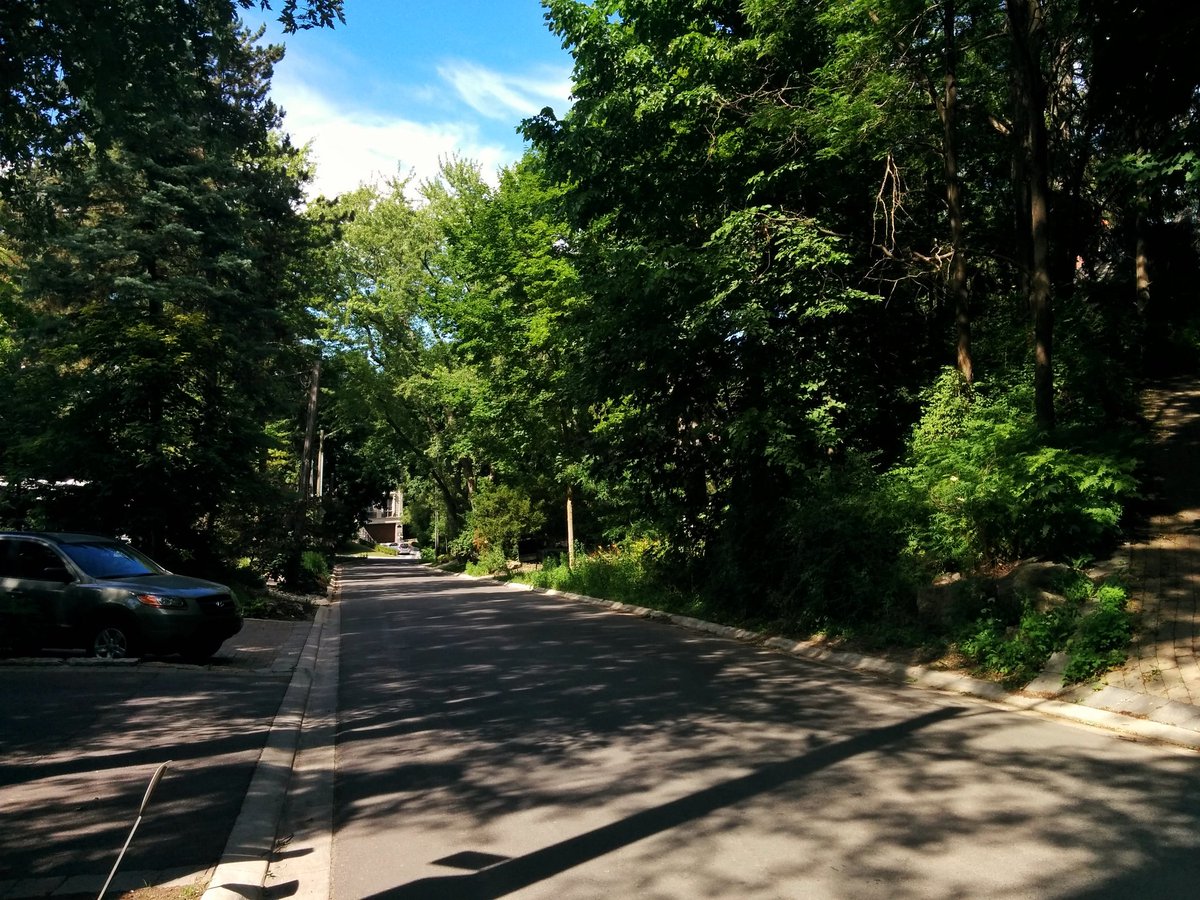
Diverted all the way to Yonge, then down the hill into Hogg’s Hollow. Multi-million dollar homes take up most of the space, views of the West Don are limited to slivers of public utility rights-of-way.


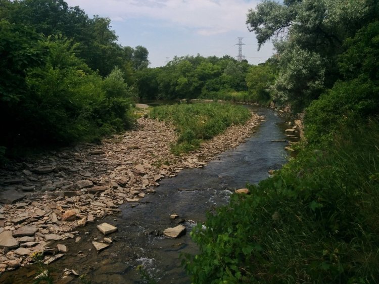
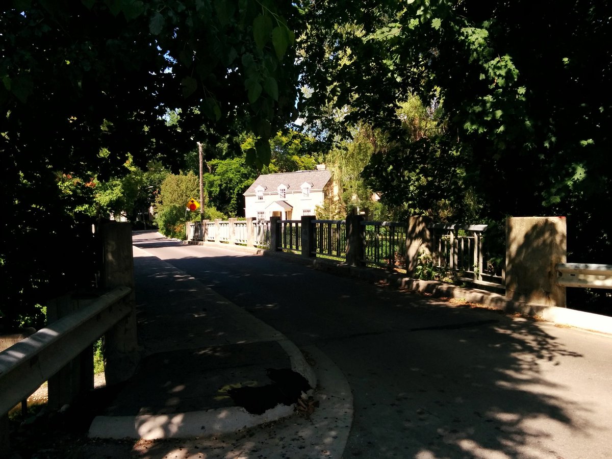
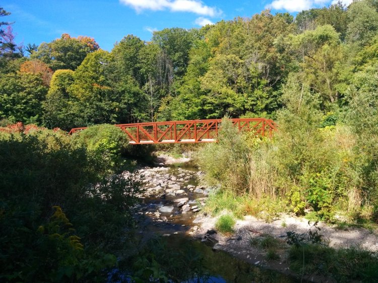
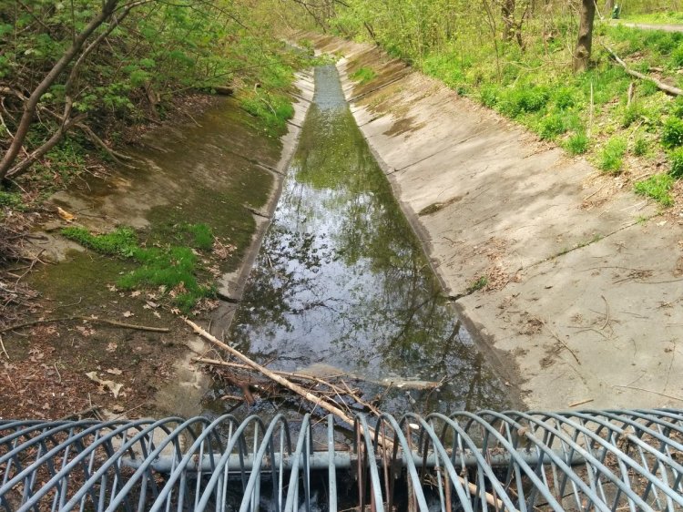
Heading out of Hogg’s Hollow, the West Don is dammed and channelized a bit. But at least it opens up to public parkland.


Date: July 11, 2018
Length: 11.4 km
Type: Riverine
Related Walks

West and Lower Don continued downstream
West to Lower Don
First West Don tributary north of Eglinton
Wilket Creek
Second West Don tributary north of Eglinton
Burke Brook
West Don continued upstream
West Don III