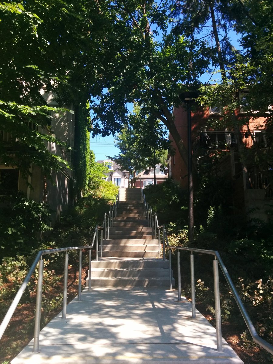
Good morning. I will be tracing Castle Frank Brook, one of Toronto’s major lost rivers. The valley has been preserved many parts. Steps from a major hub of the city.
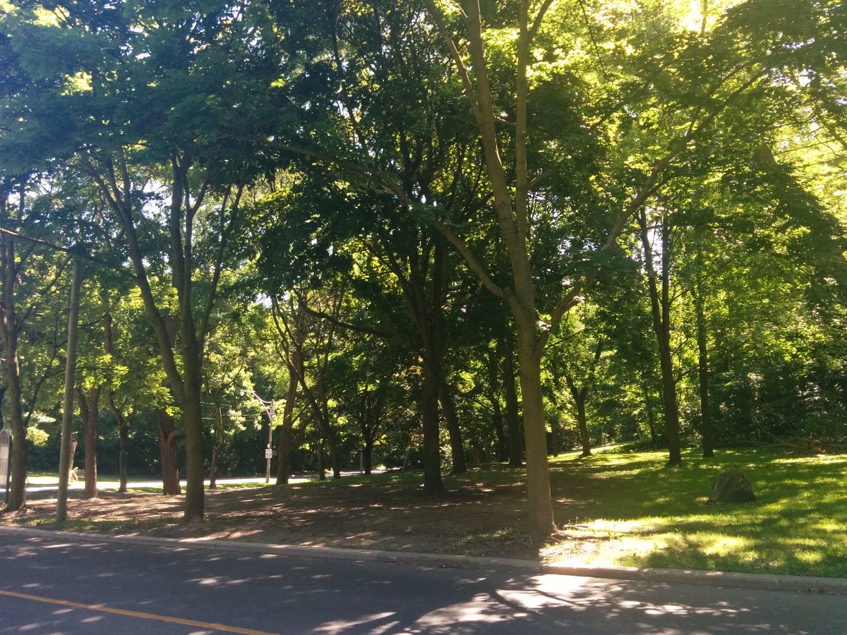
Stairs. Thrown back into urbanity, and a recreational park that’s still an obvious valley. More stairs.


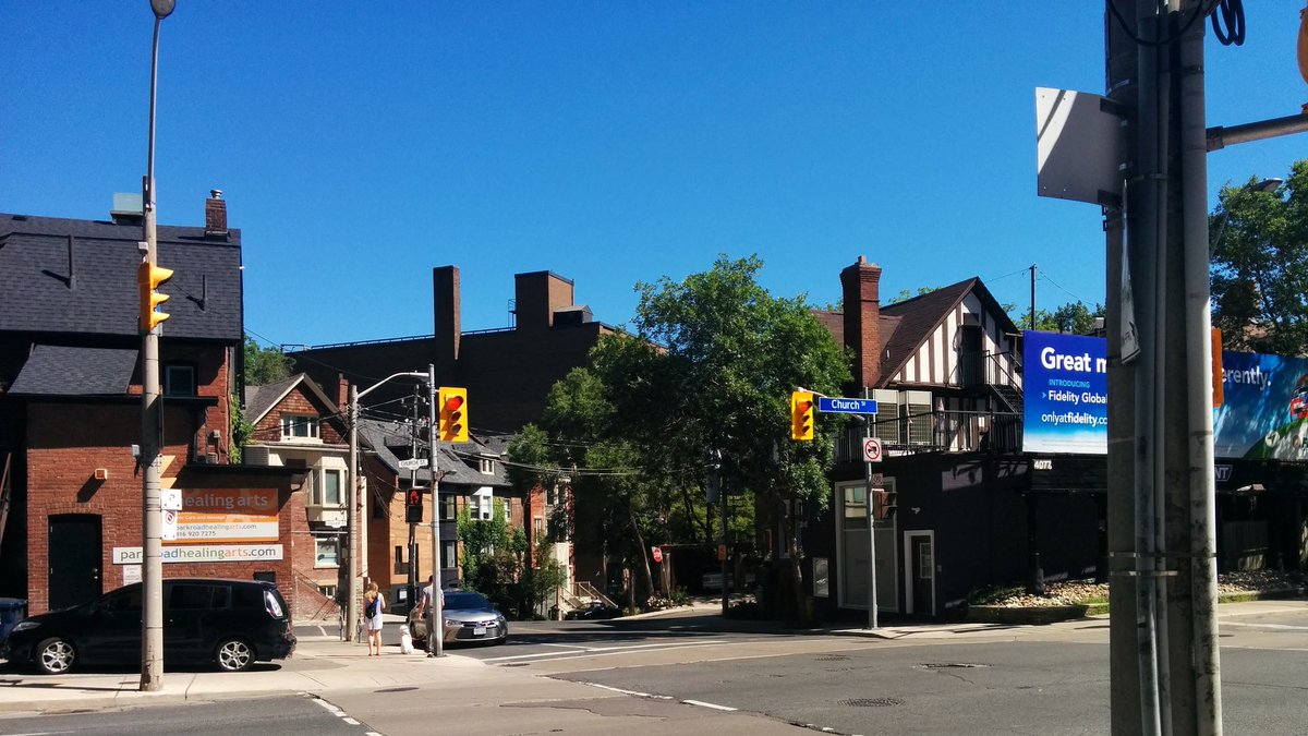
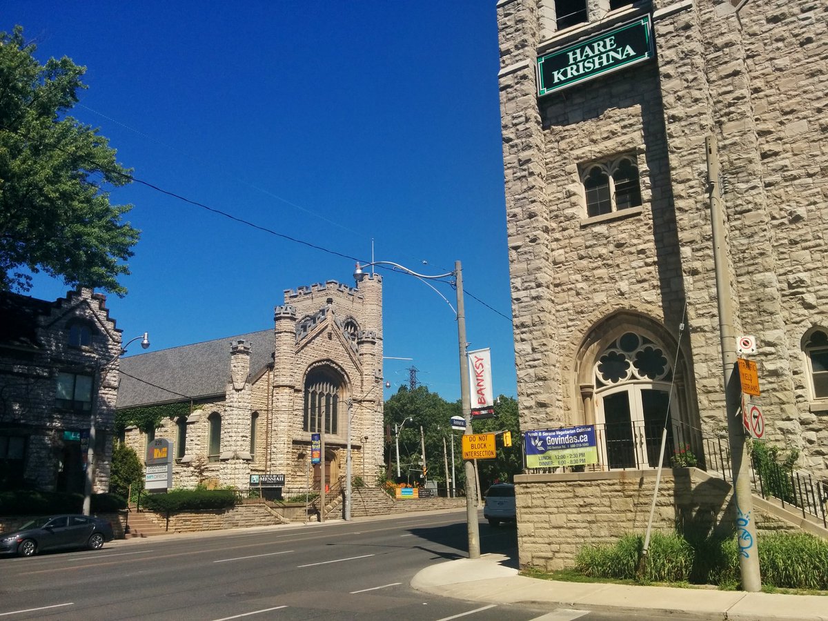
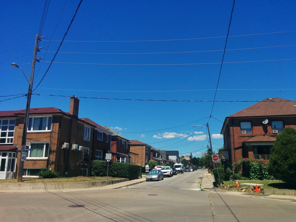
Really lost reach, overtaken by beautiful architecture.


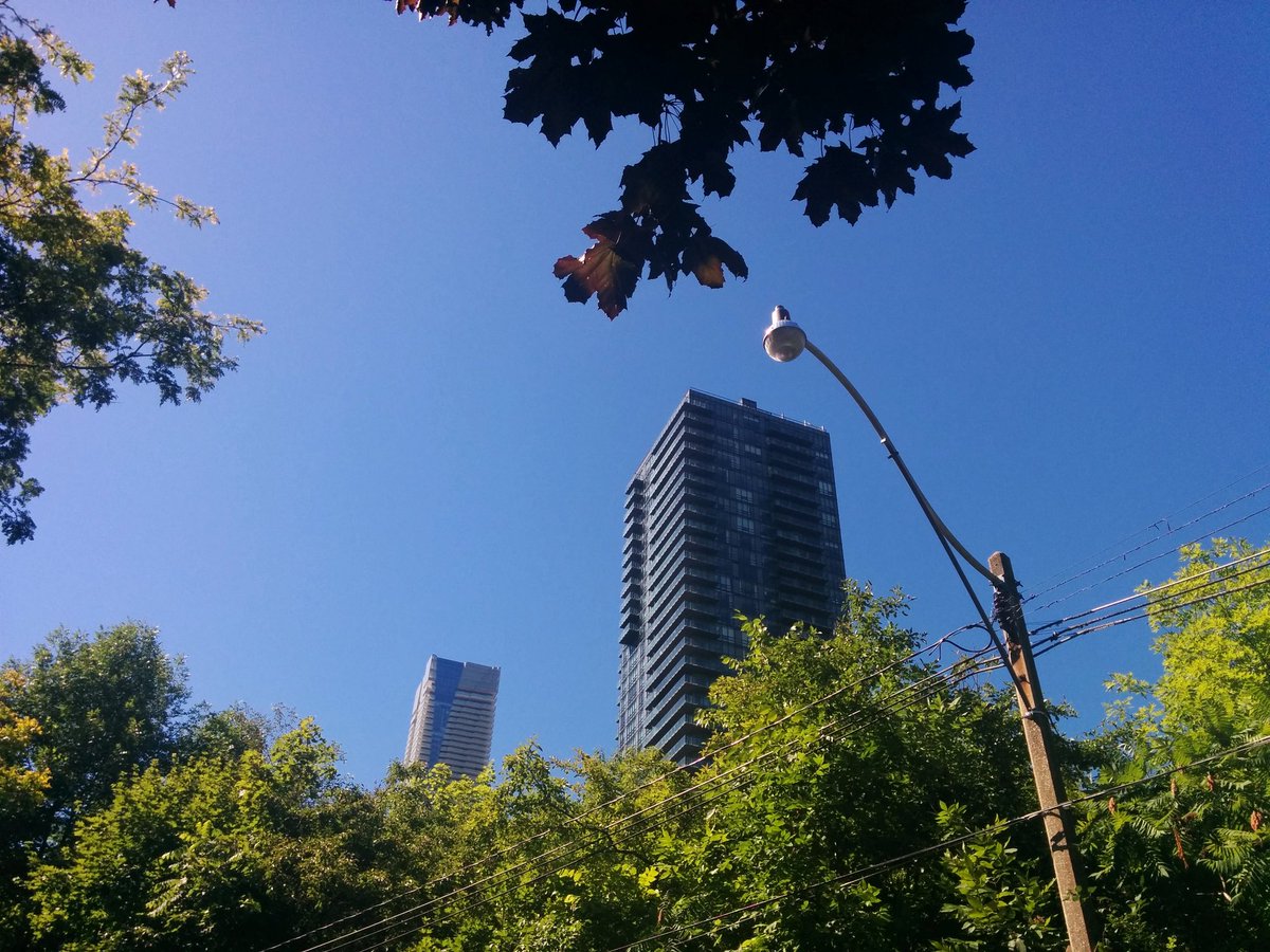
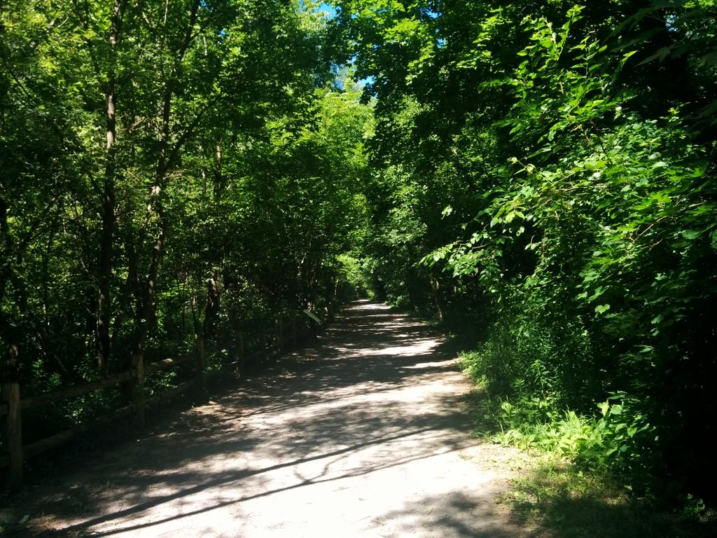
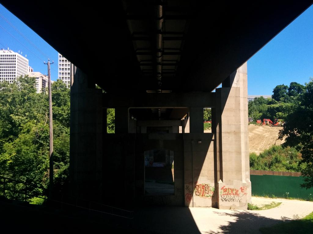
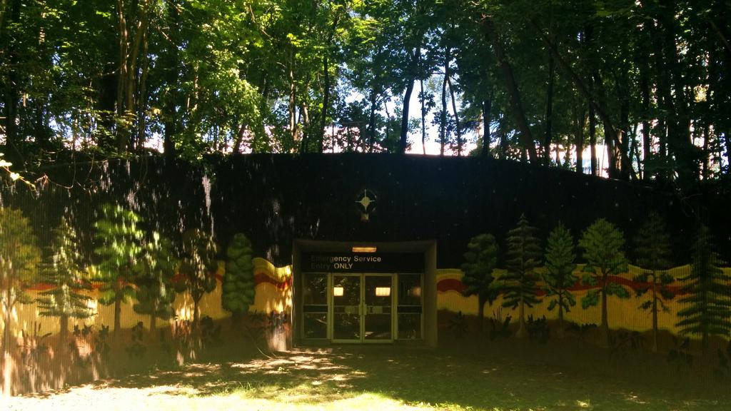
Back into the wild. Nordheimer Ravine is a great metroscape. Still a shame you can’t access it directly from the subway, unless it’s an emergency.
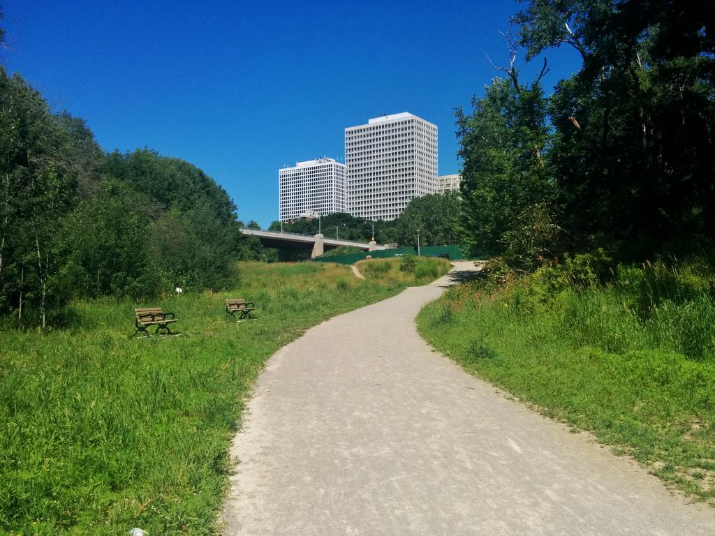
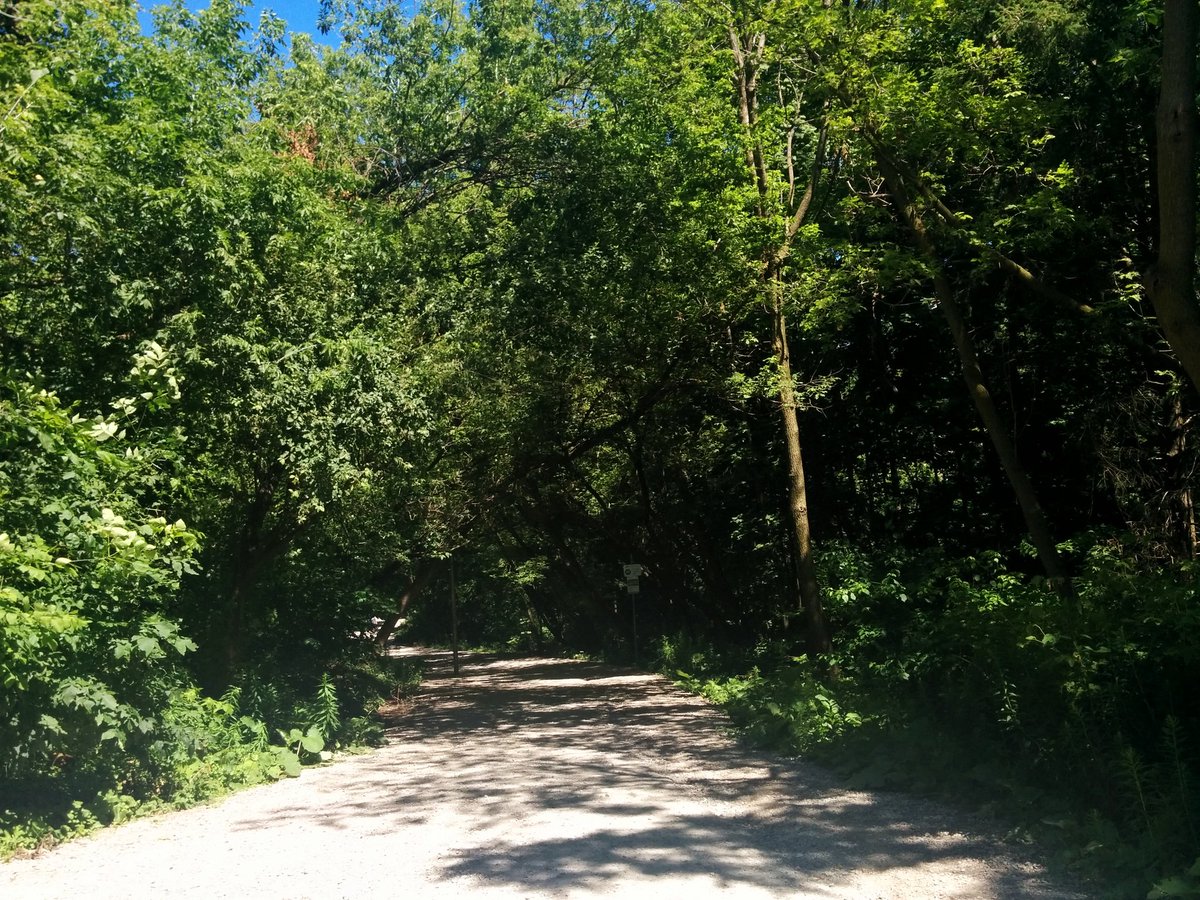
After a brief interruption at St Clair West, back into nature. The valley opens up into wetlands and surface creeks.


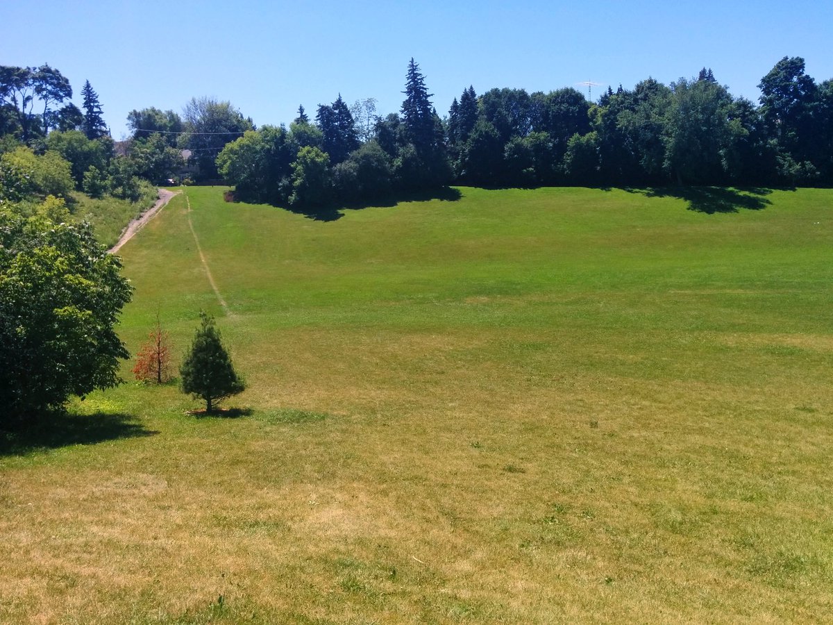
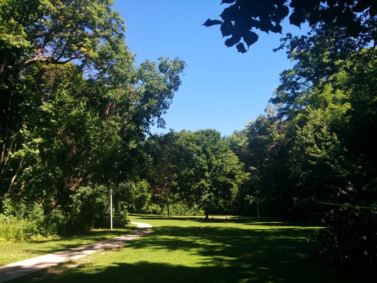
Climbing out of Cedarvale Ravine. The Brook is starting to get quite lost again.
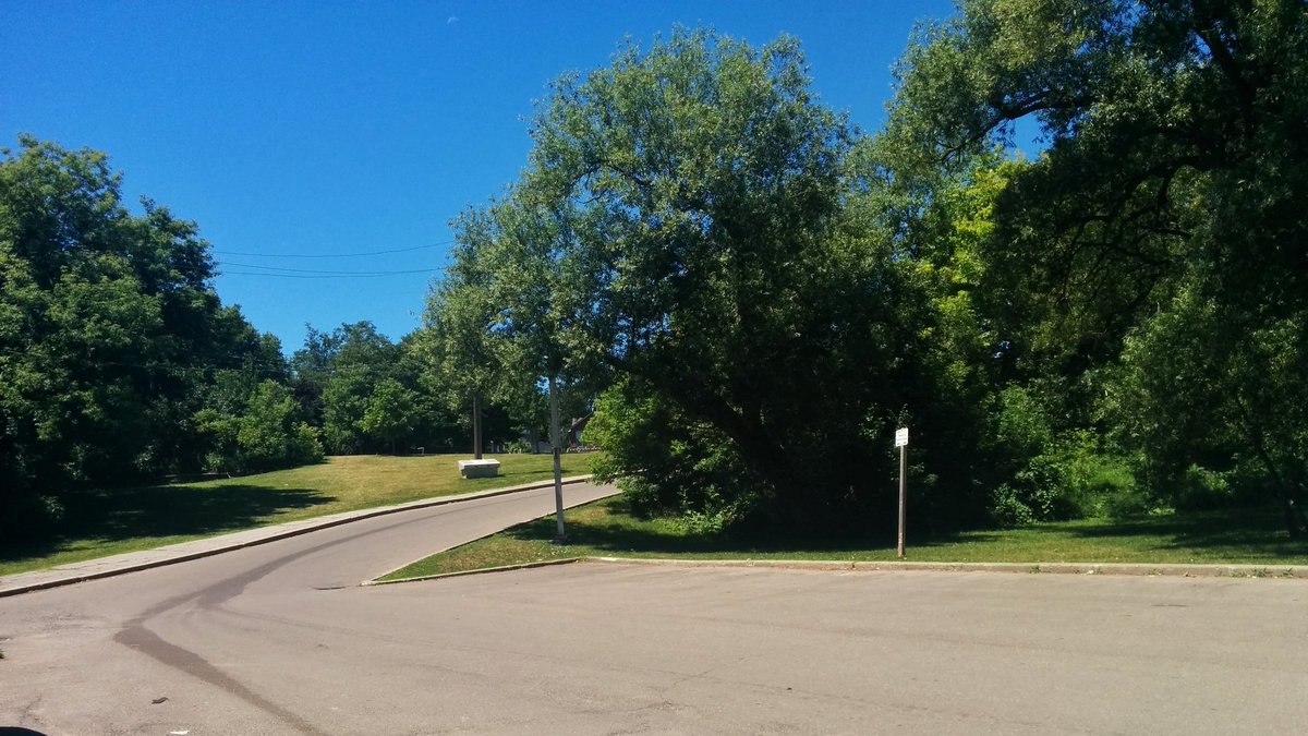
Not too much to see, other than local minima in the topography.


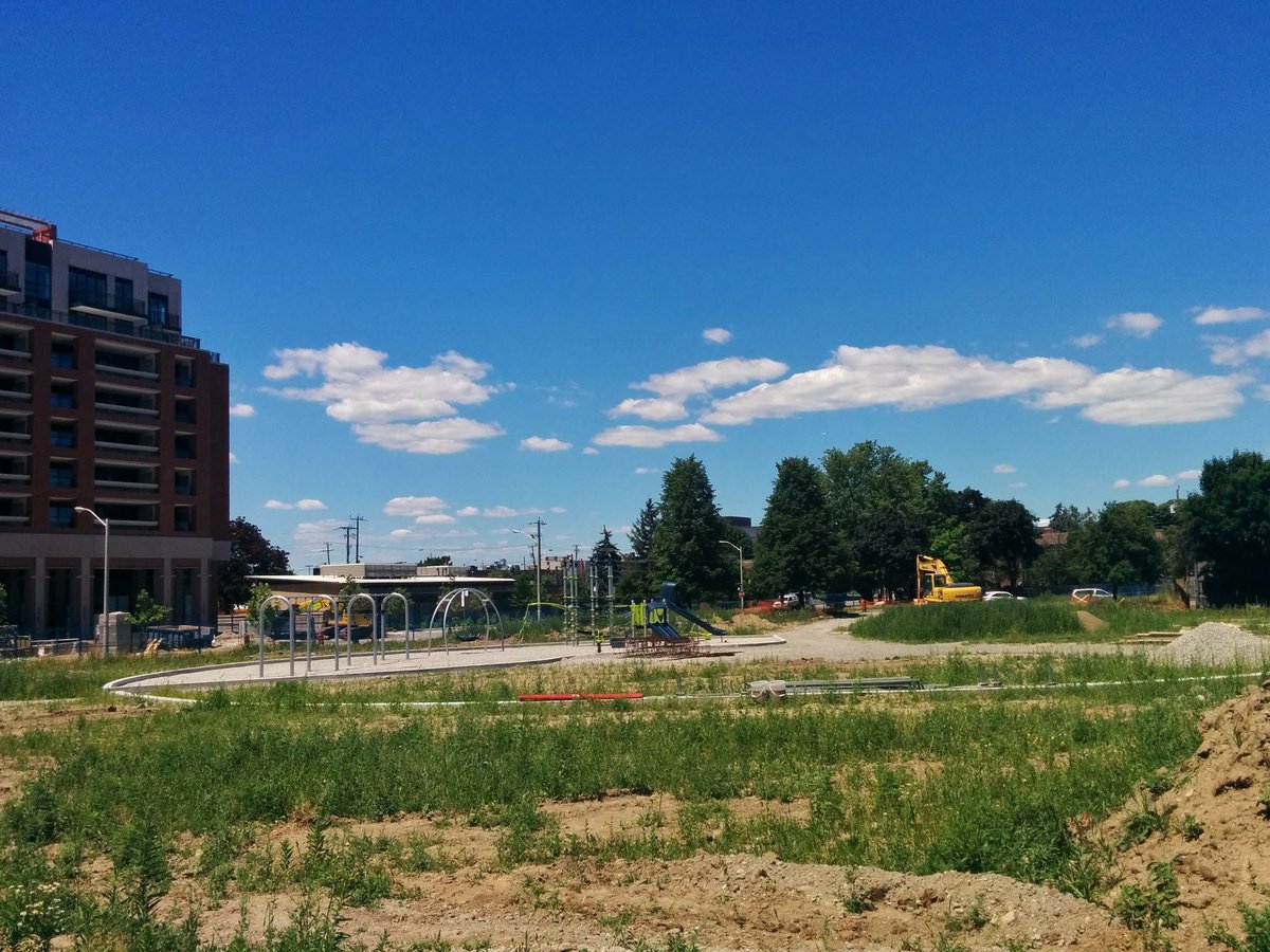
The last gasp of natural space for Castle Frank Brook’s lost reaches.


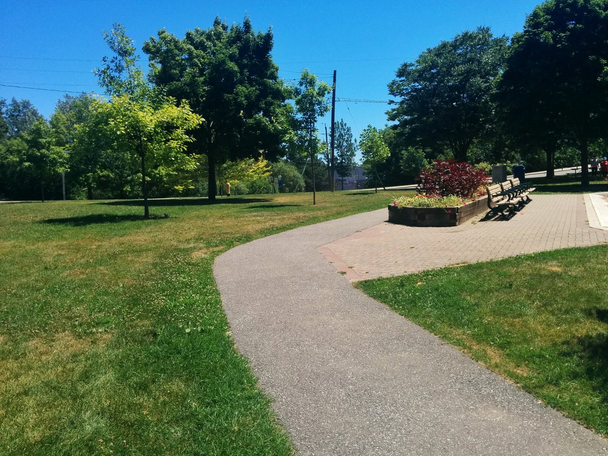
Surface ditches. Recreational parks. Aligned fountains. The final spits on the original Brook.


Date: July 7, 2018
Length: 11.7 km
Type: Riverine

Related Walks

Related lost creek to the northeast, with Castle Frank’s open diversion
Yellow Creek II


