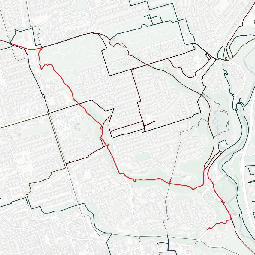
So it is fitting that I walk the (mostly) unburied sections of the Yellow Creek today, southeast to where it meets the Don River. Still buried at Oriole Park.
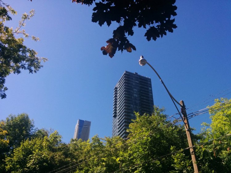
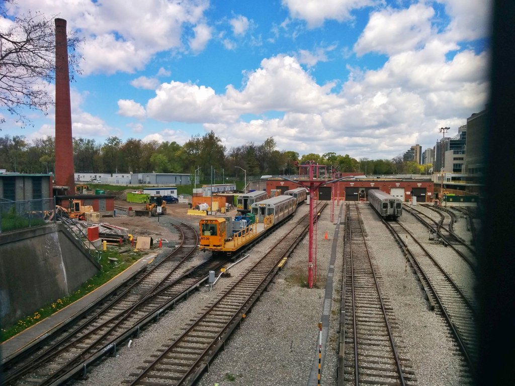
Many stop on the Beltline Trail bridge, staring out at Yonge St and Davisville Yard. Do they know they’re looking at Yellow Creek?

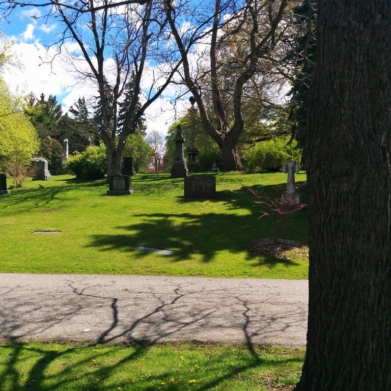
Dead people like here, 6 feet under. A creek, still alive, flows further down.
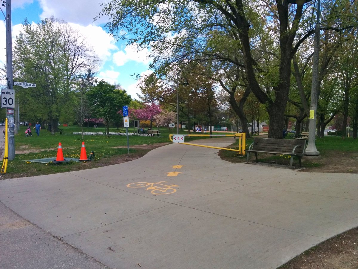
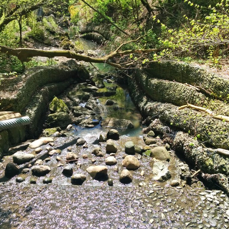
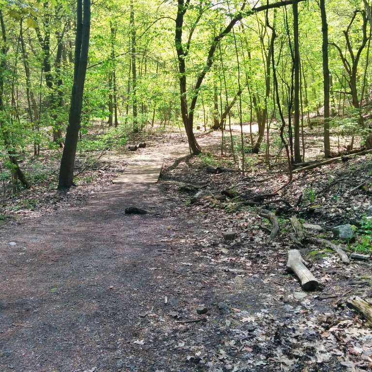
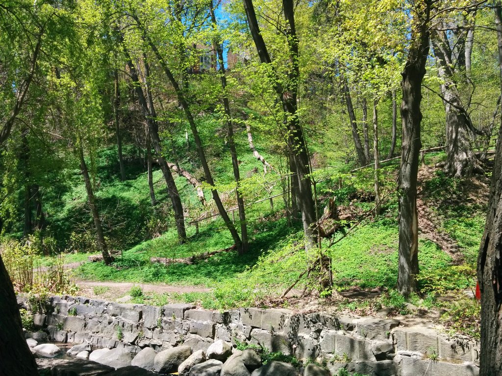
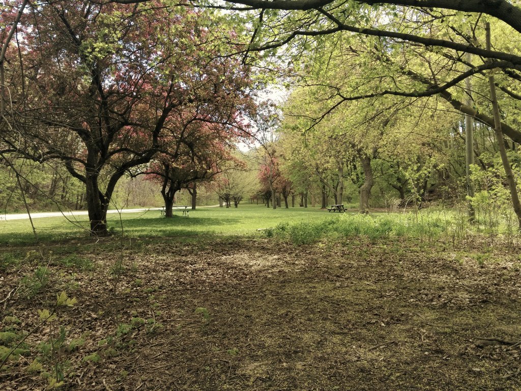
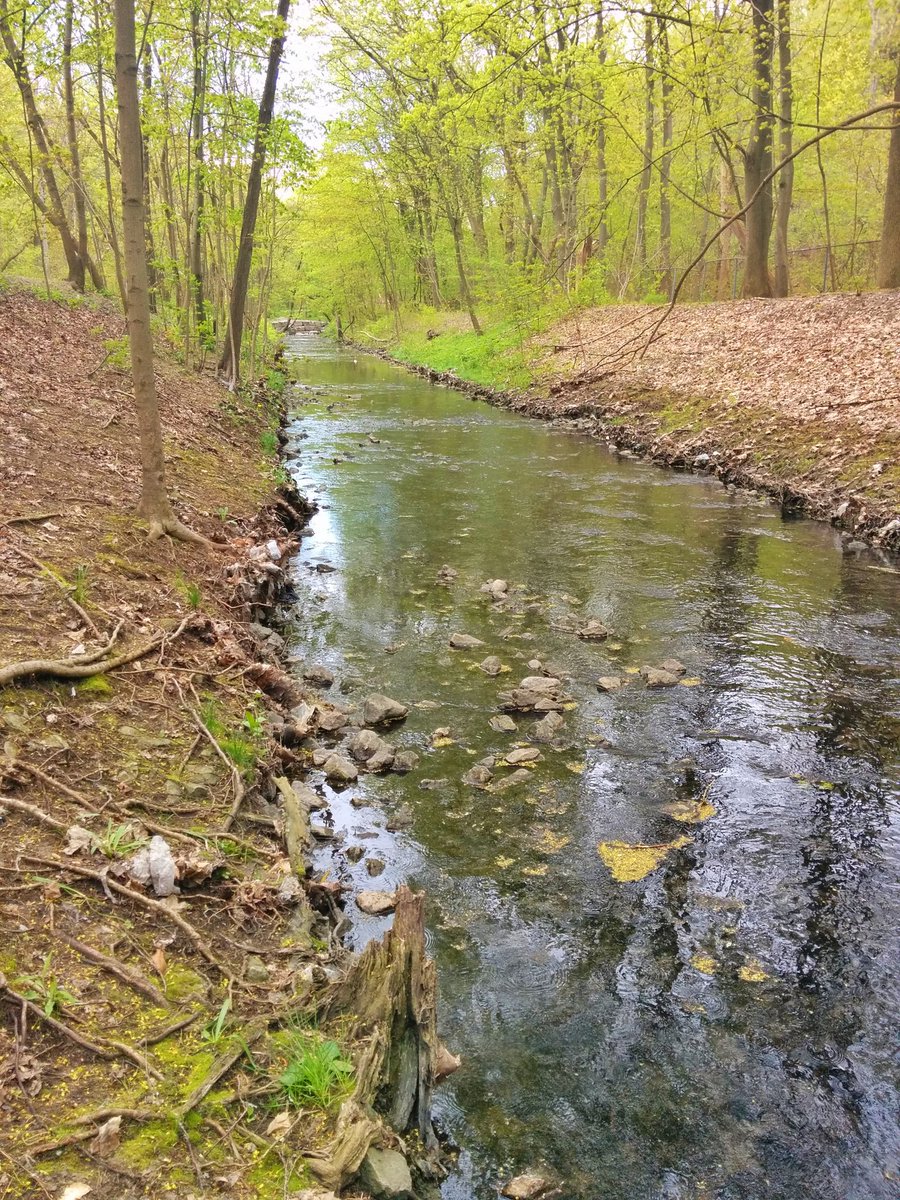
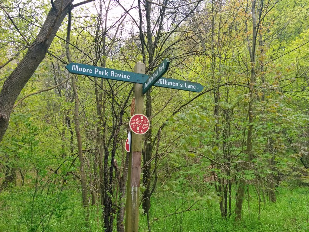
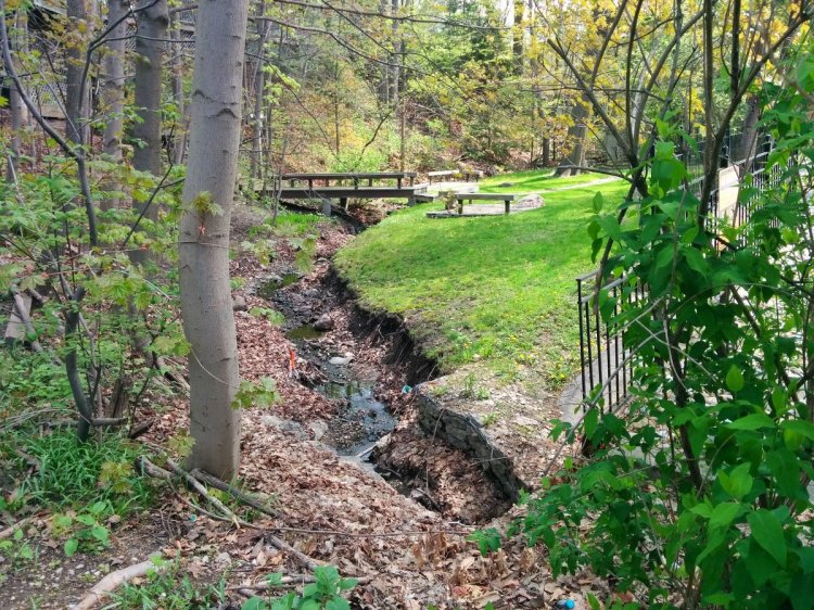
Finally, the creek emerges from concrete and steel confines. Trails begin, allowing enjoyment of creek plus ravine. It is a hidden treasure.

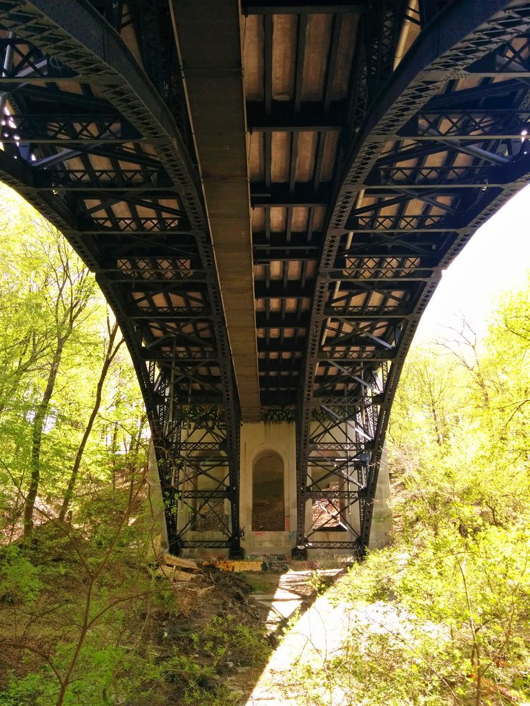
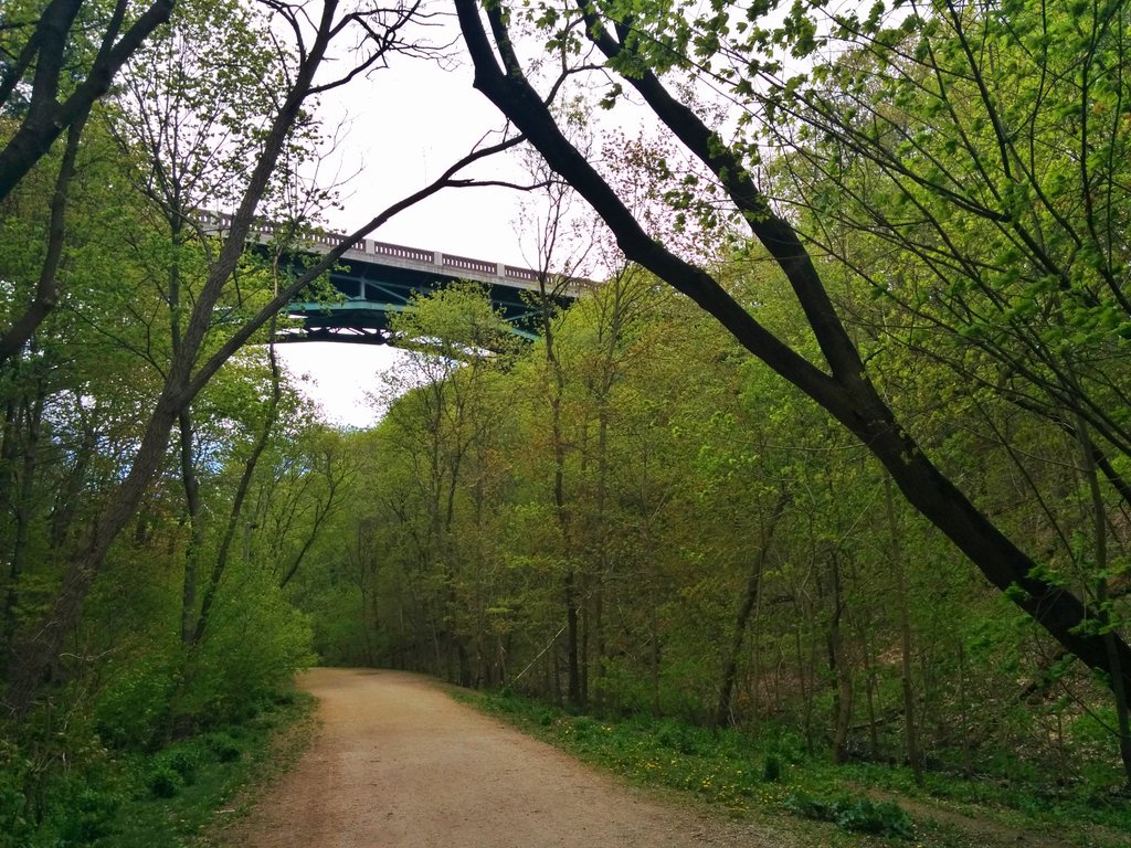
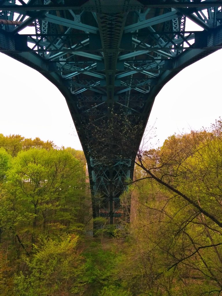
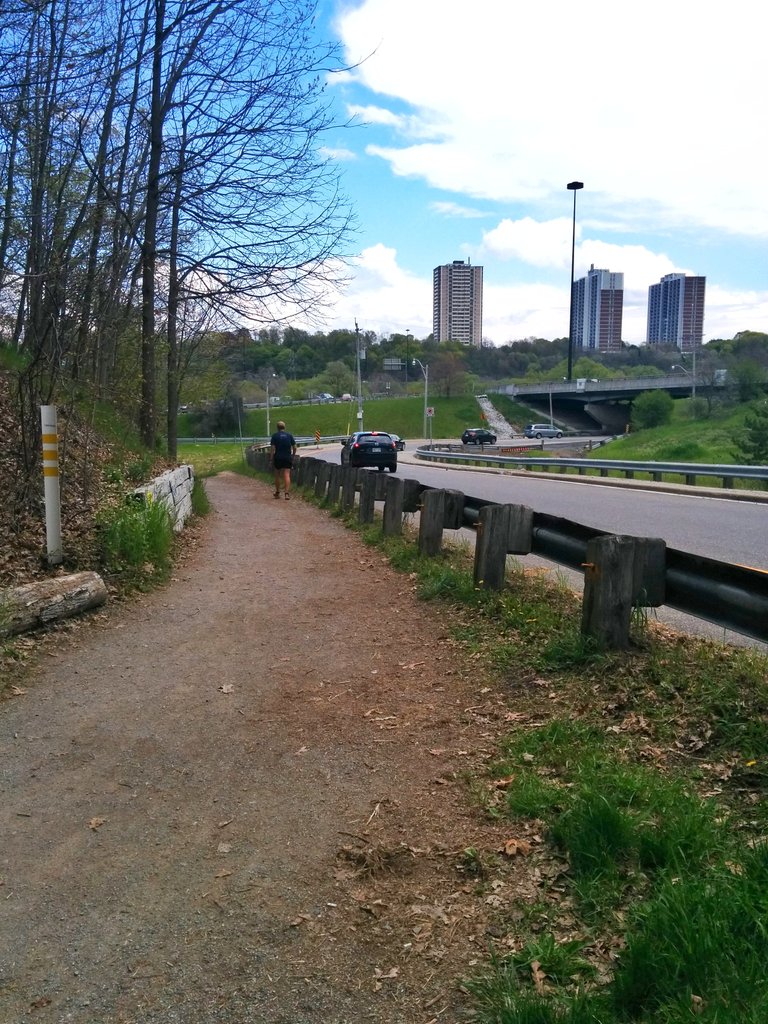
Great bridges span the ravine. No soil berms restricting us here.

So I get it if you don’t want to trace a buried creek. But if you haven’t been to this ravine, I beg you to put it on your summer hiking list.

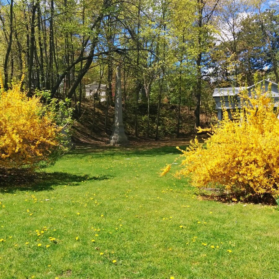
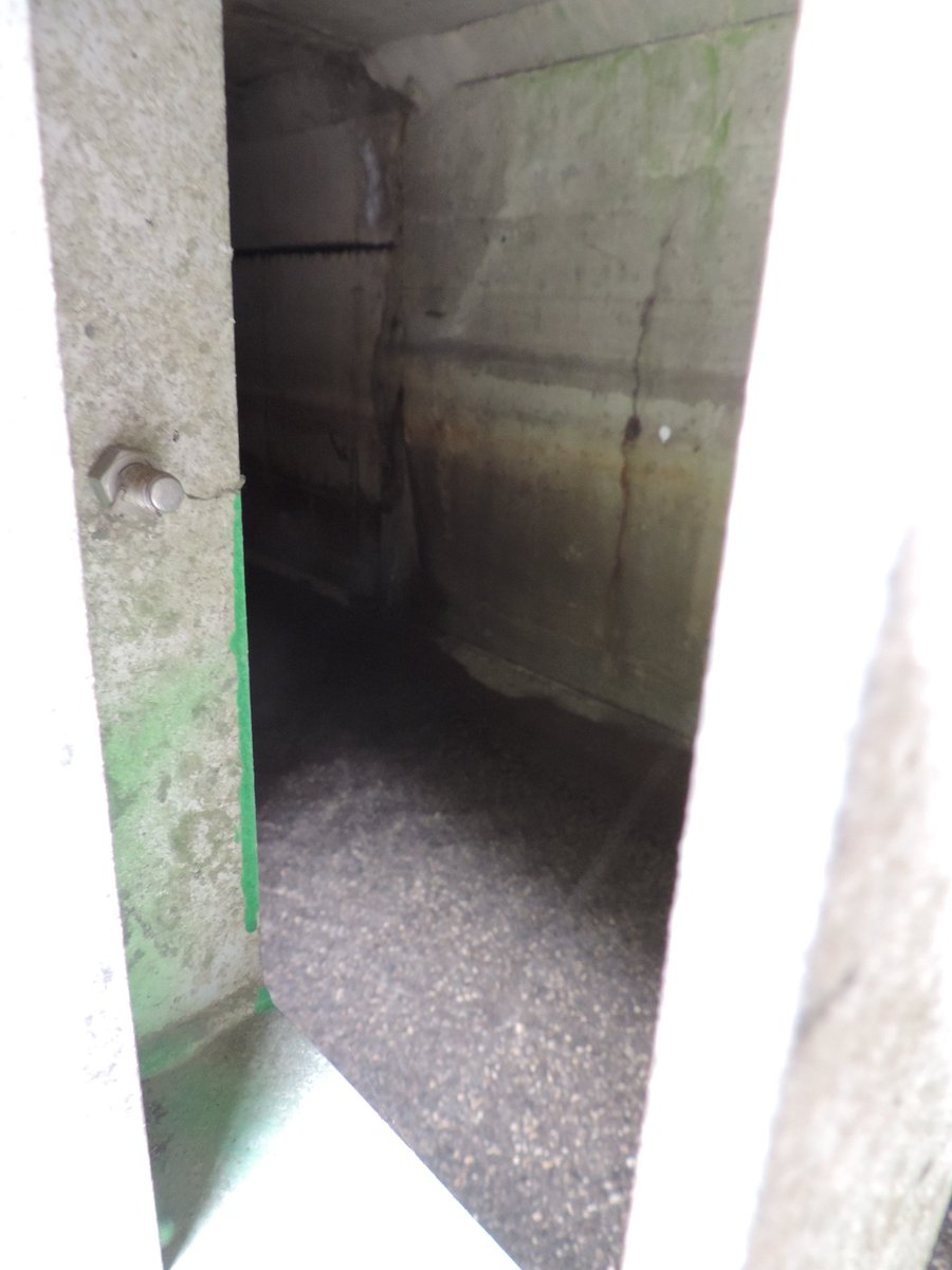
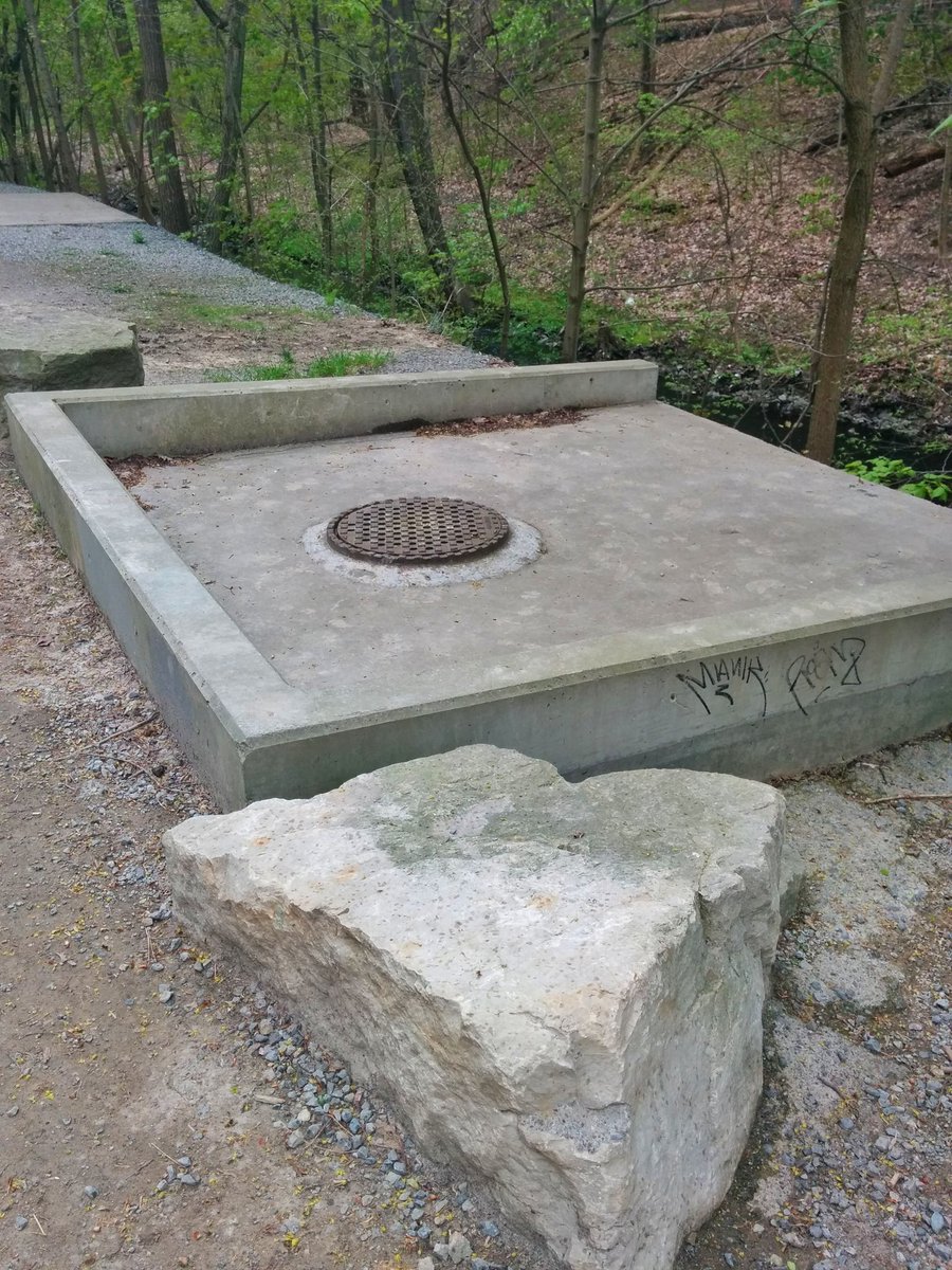
Close to Mt Pleasant Road. Someone decided that, well before it gets there, the creek must go back underground? For what? A picnic area.
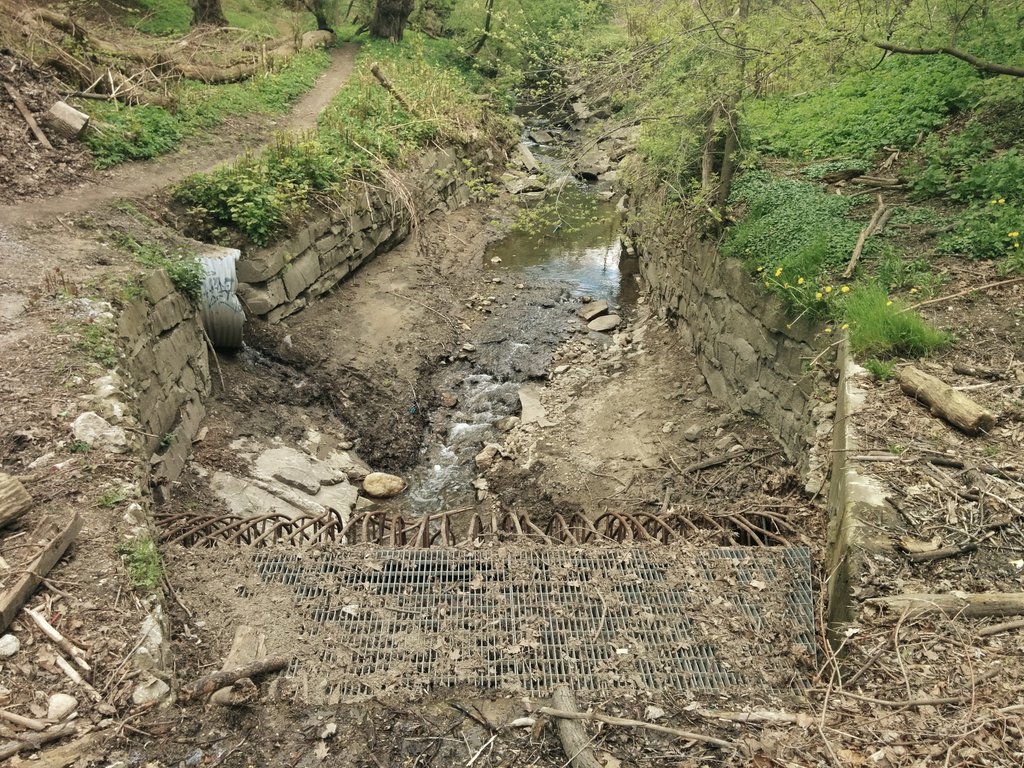
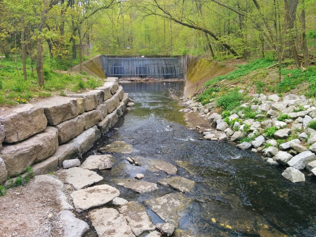
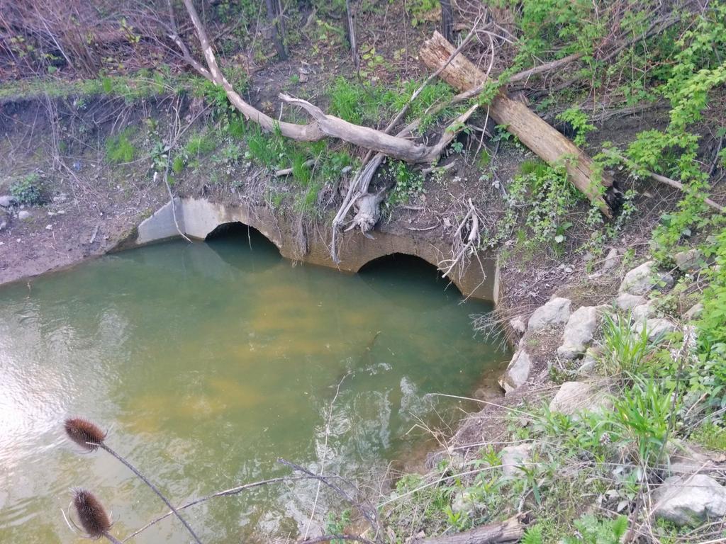
The creek appears to emerge from its confines again east of Mt Pleasant Road. Turns out Yellow Creek is still buried here in a drain beside the open channel.

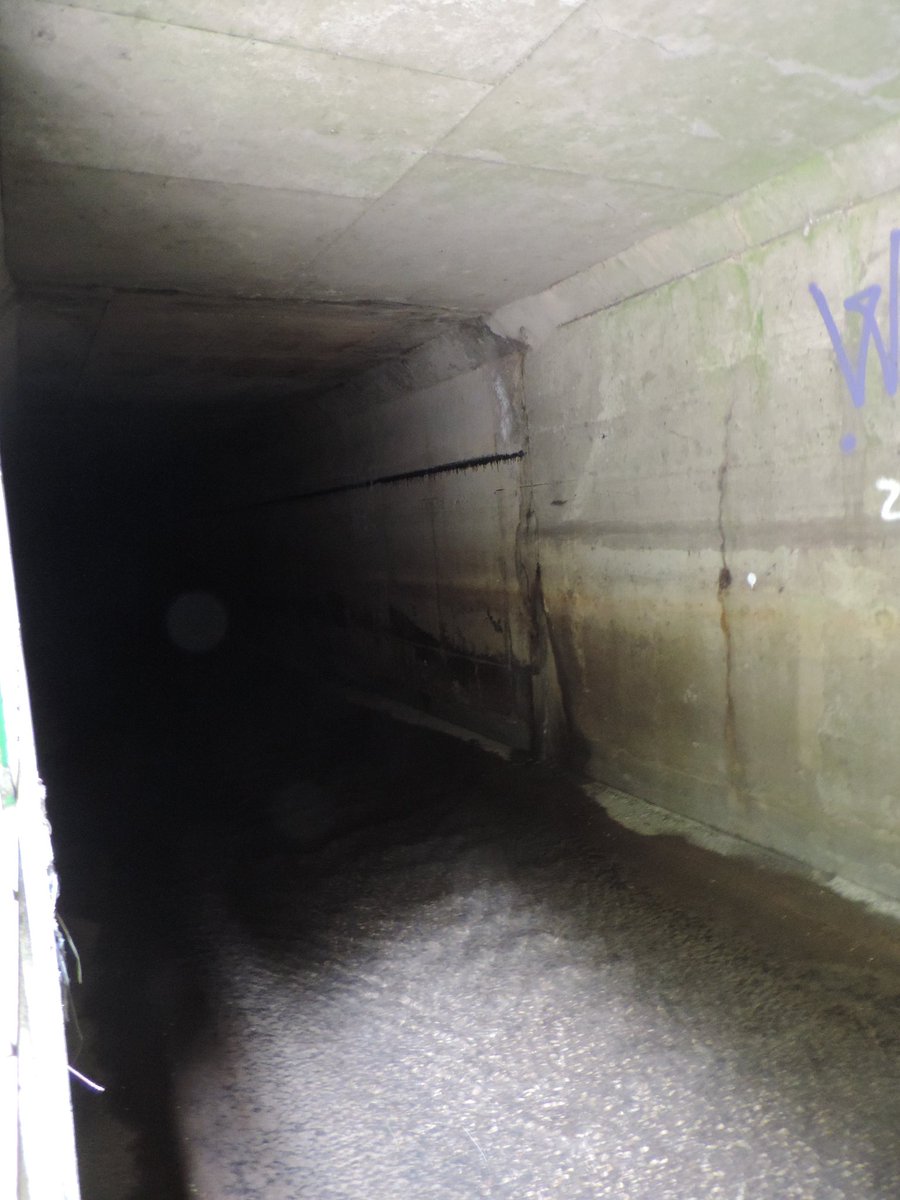

Meanwhile, the open creek is actually the outflow of the diversion trunk sewer for Castle Frank Brook, carrying water from Cedarvale Ravine. It was buried in preparation of the Spadina Expressway, but was never undone after it was cancelled.

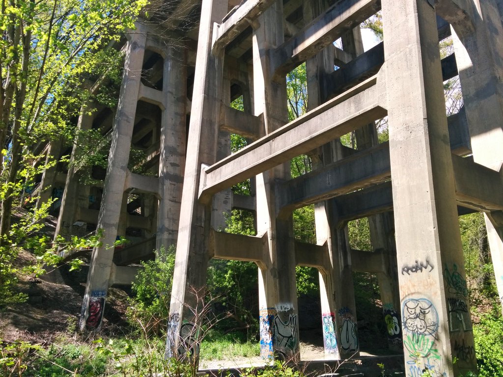
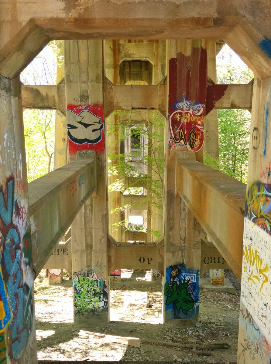
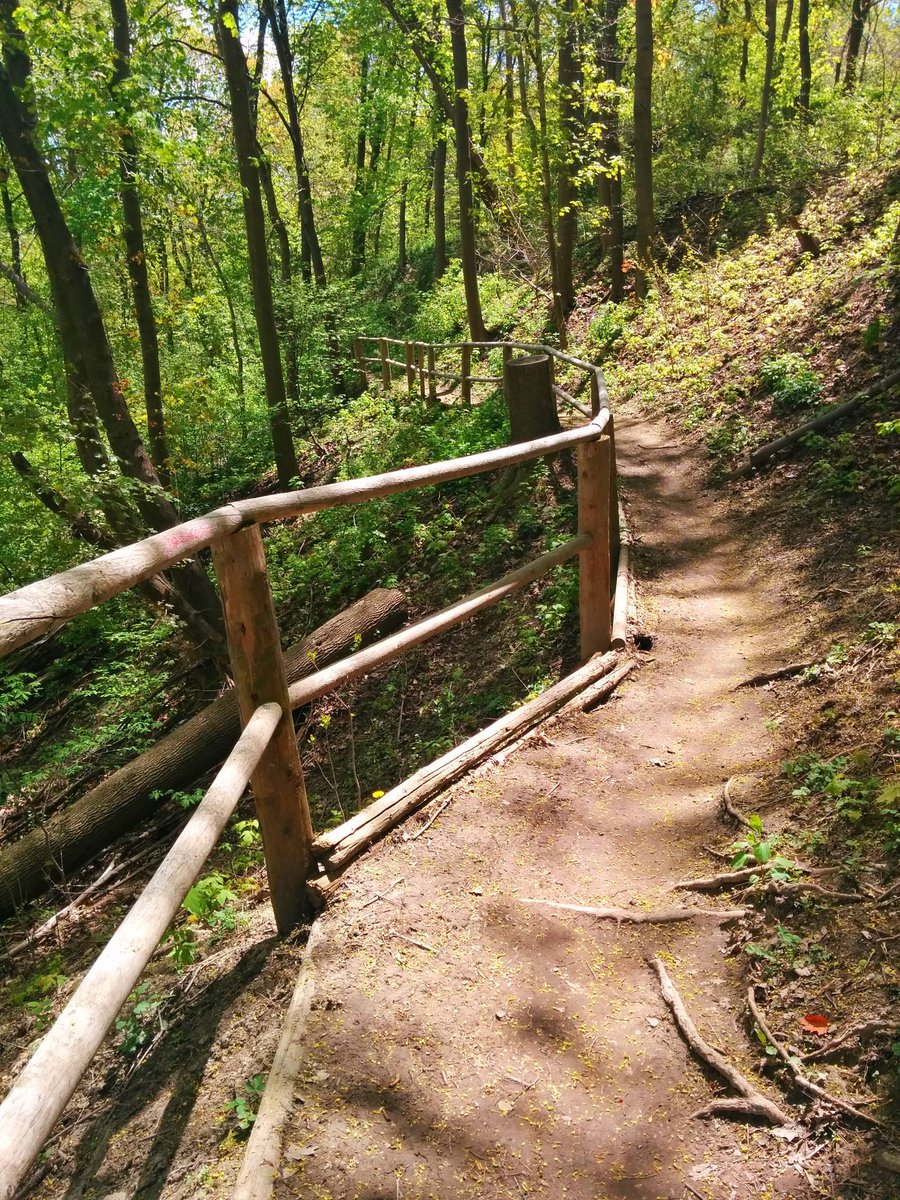
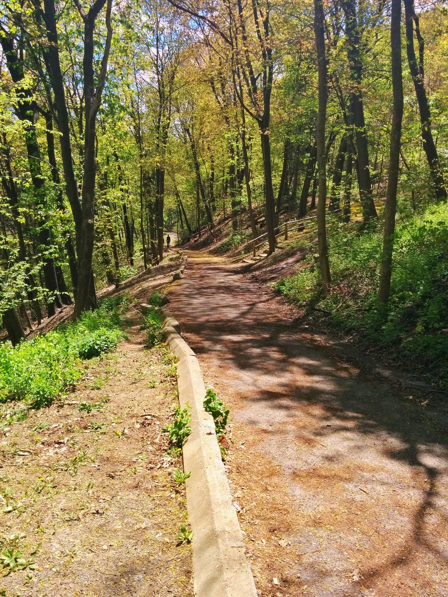
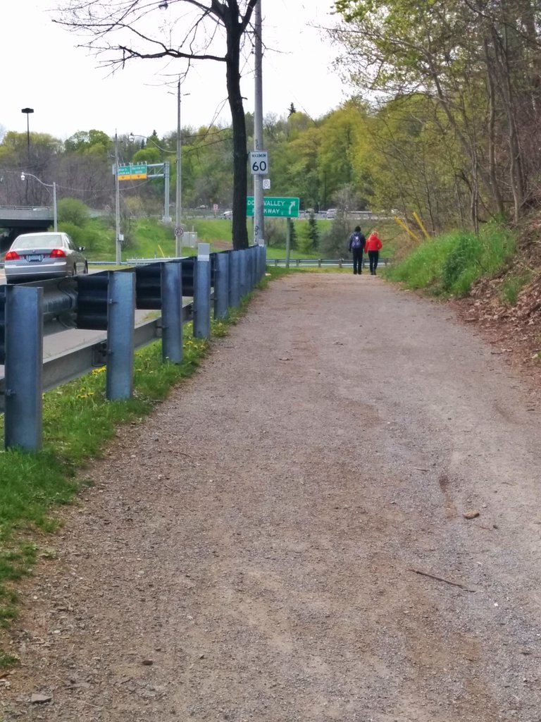
Yellow Creek stays buried under a trail doubling as a public works access road. We pass under another great bridge.

Castle Frank Brook goes back underground again with Yellow Creek, this time to pass beneath the DVP offramp at Bayview. The trail reaches a junction. I elect, in the interest of following the creek, to take the path that squeezes by the DVP offramp.

The twinning of two altered creeks mixed me up. I thought this was the outfall of Yellow, but it turned out to be Castle Frank. I went too far south. I’ll have to capture the actual Yellow Creek outfall another day.

For more information on Yellow Creek’s underground infrastructure and other buried watercourses / sewers in Toronto, check out Michael Cook’s The Vanishing Point.
Date: May 14, 2017
Length: 5.7 km
Theme: Riverine
Related Walks
Yellow Creek upstream of Yonge Street
Yellow Creek I
Castle Frank Brook, which took over Yellow Creek’s ravine
Castle Frank Brook