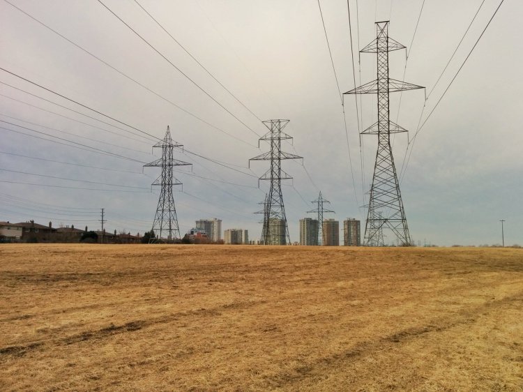
They say yesterday, today and tomorrow might be the warmest days this April. Sounds like a great excuse for a walk. Today we’ll be following East Highland Creek’s Main, then West Branches. We start where the Gatineau Hydro Corridor crosses Ellesmere. Let’s go.
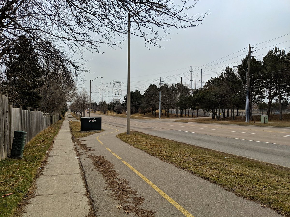
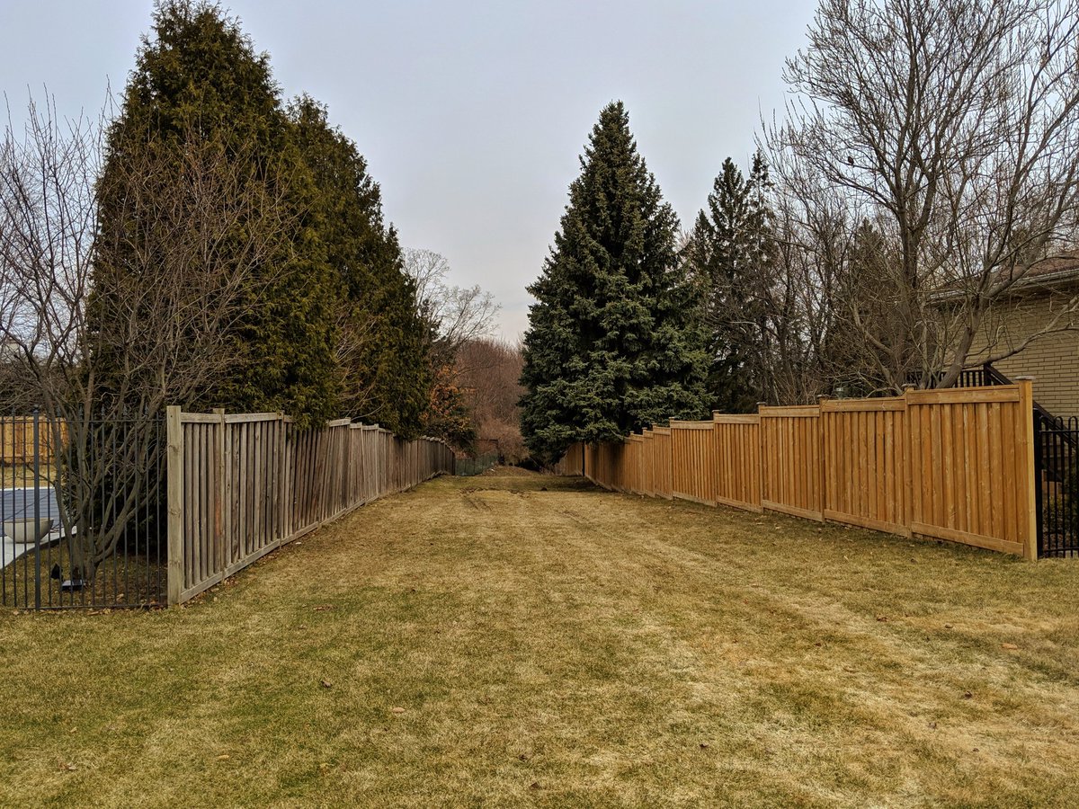
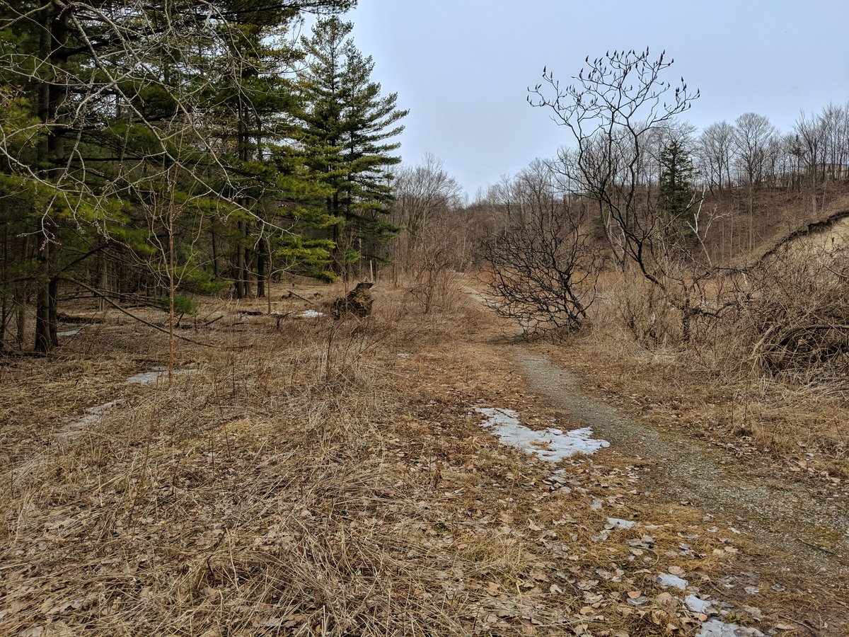
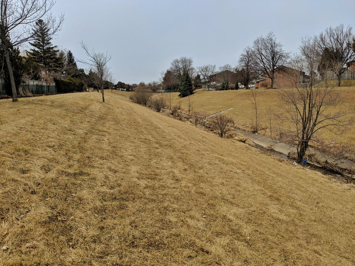
This shows you the value of planning your walks. Found a sewer right-of-way that leads from a residential area down to the creek. Also shows you how much unrealized potential exists in our ravines; this is prime for formal trails, but the footpaths here will twist your ankles.

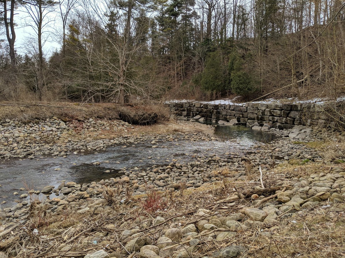
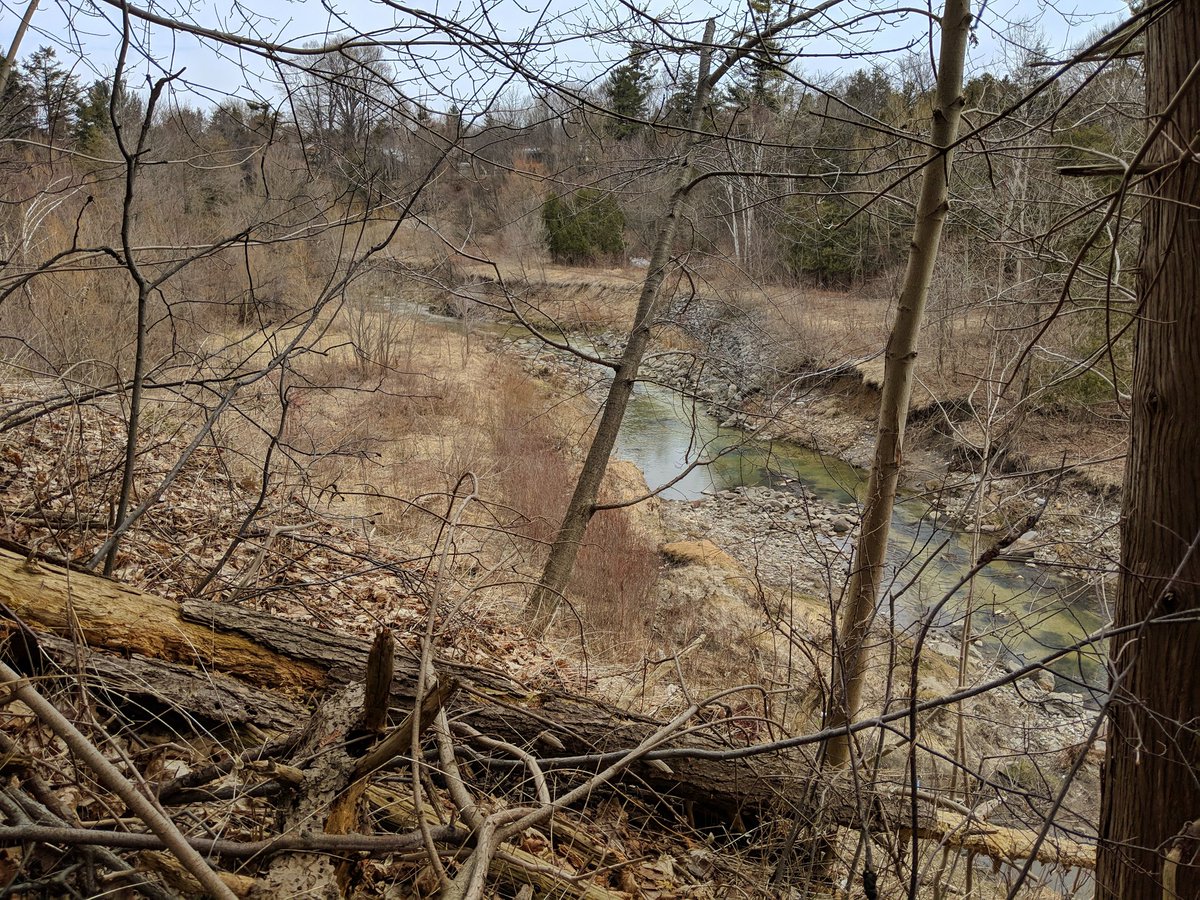
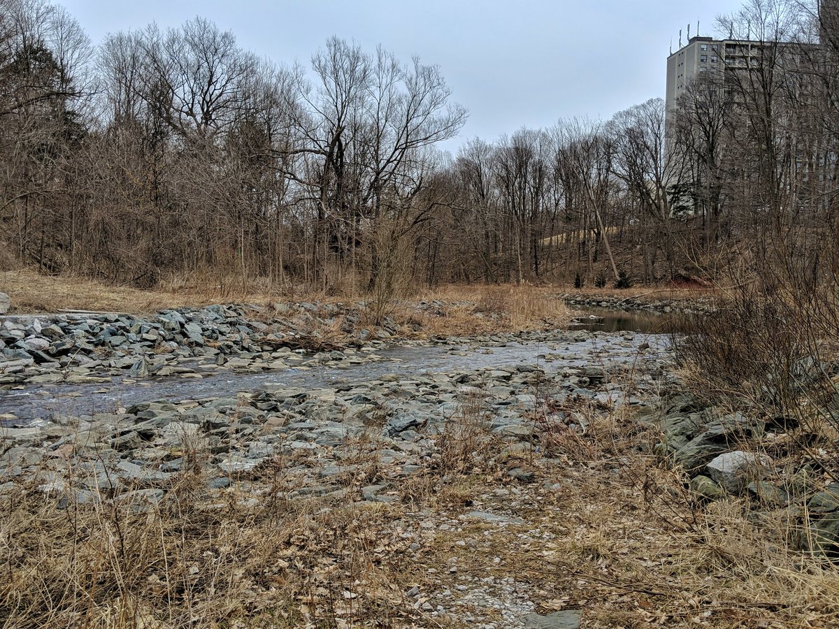
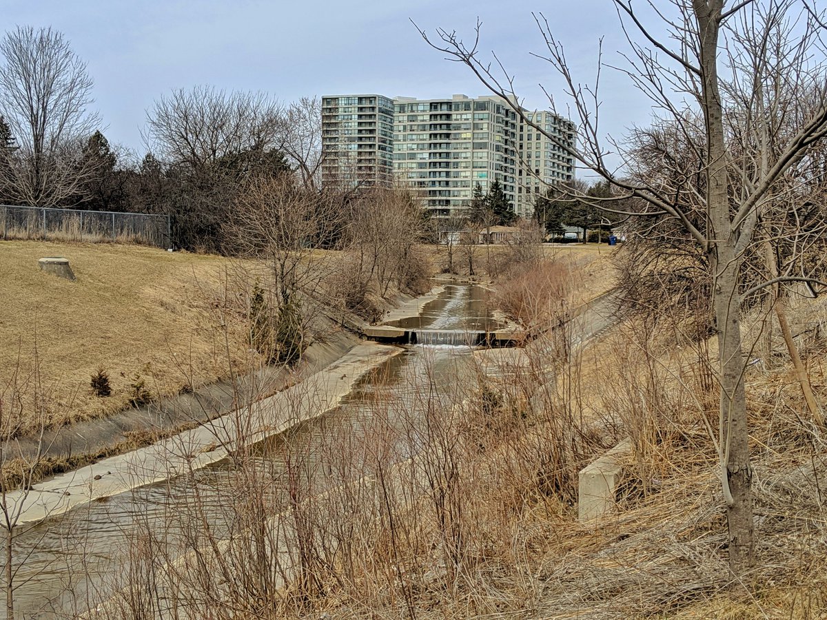
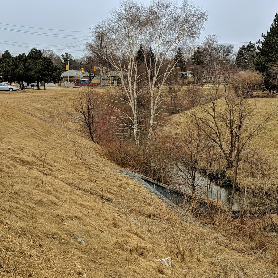
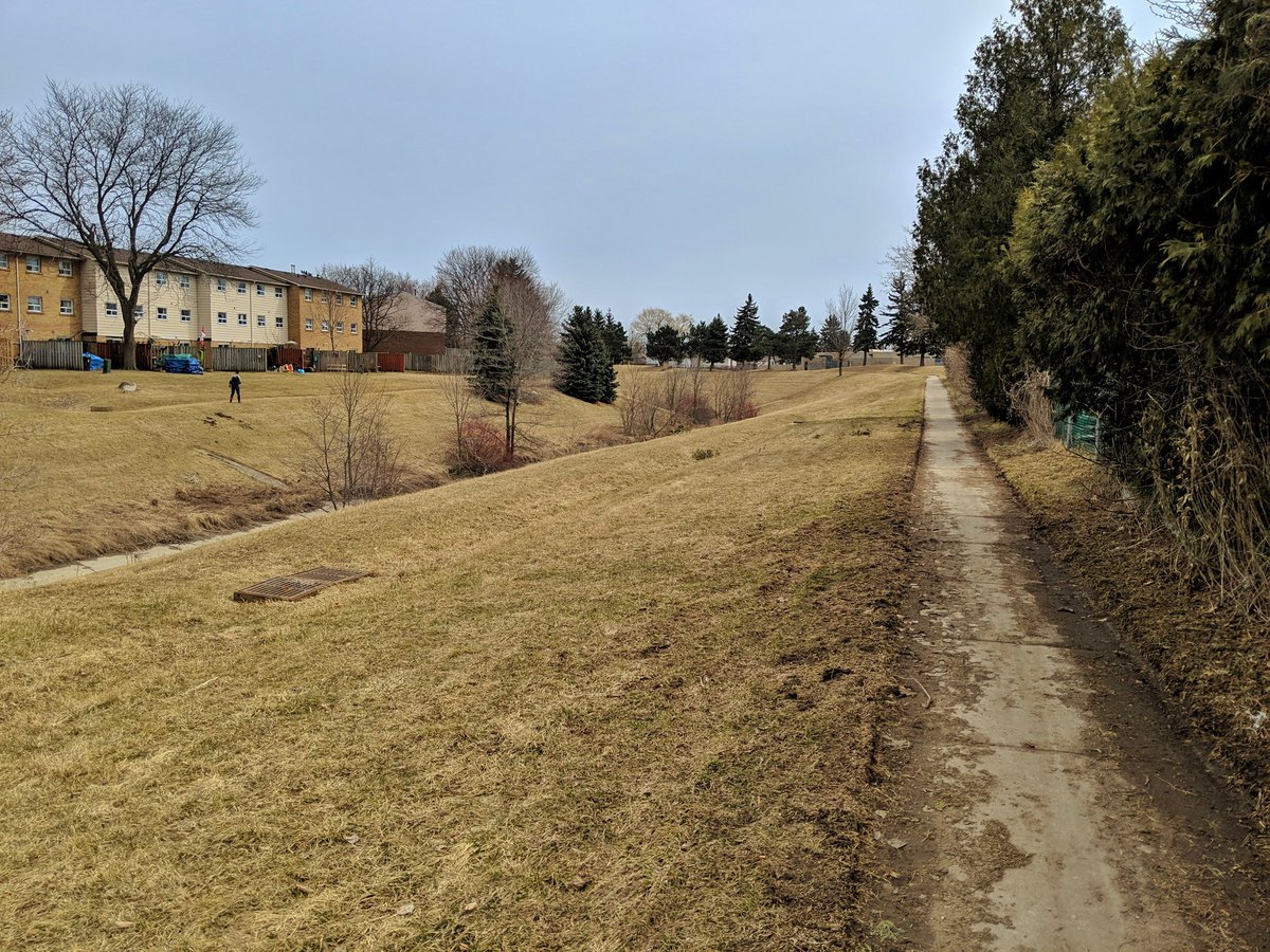
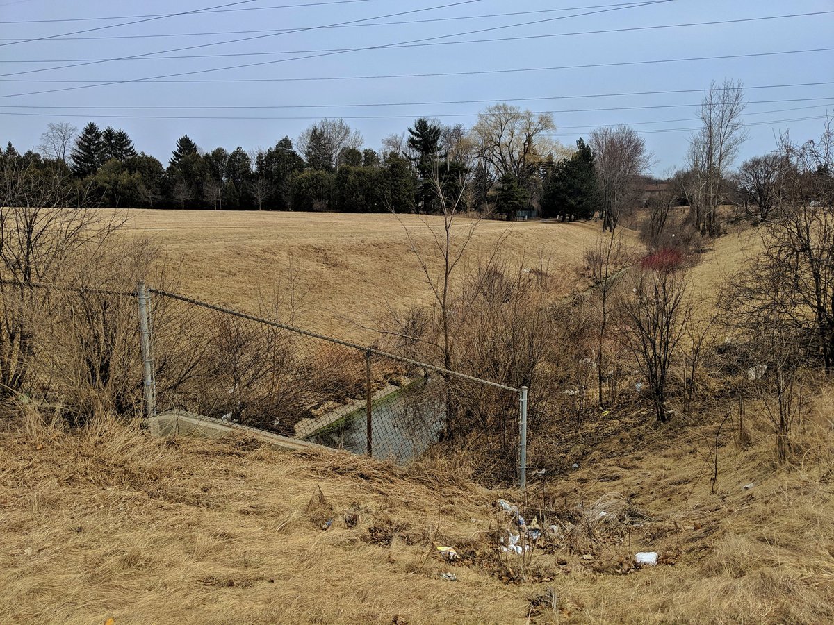
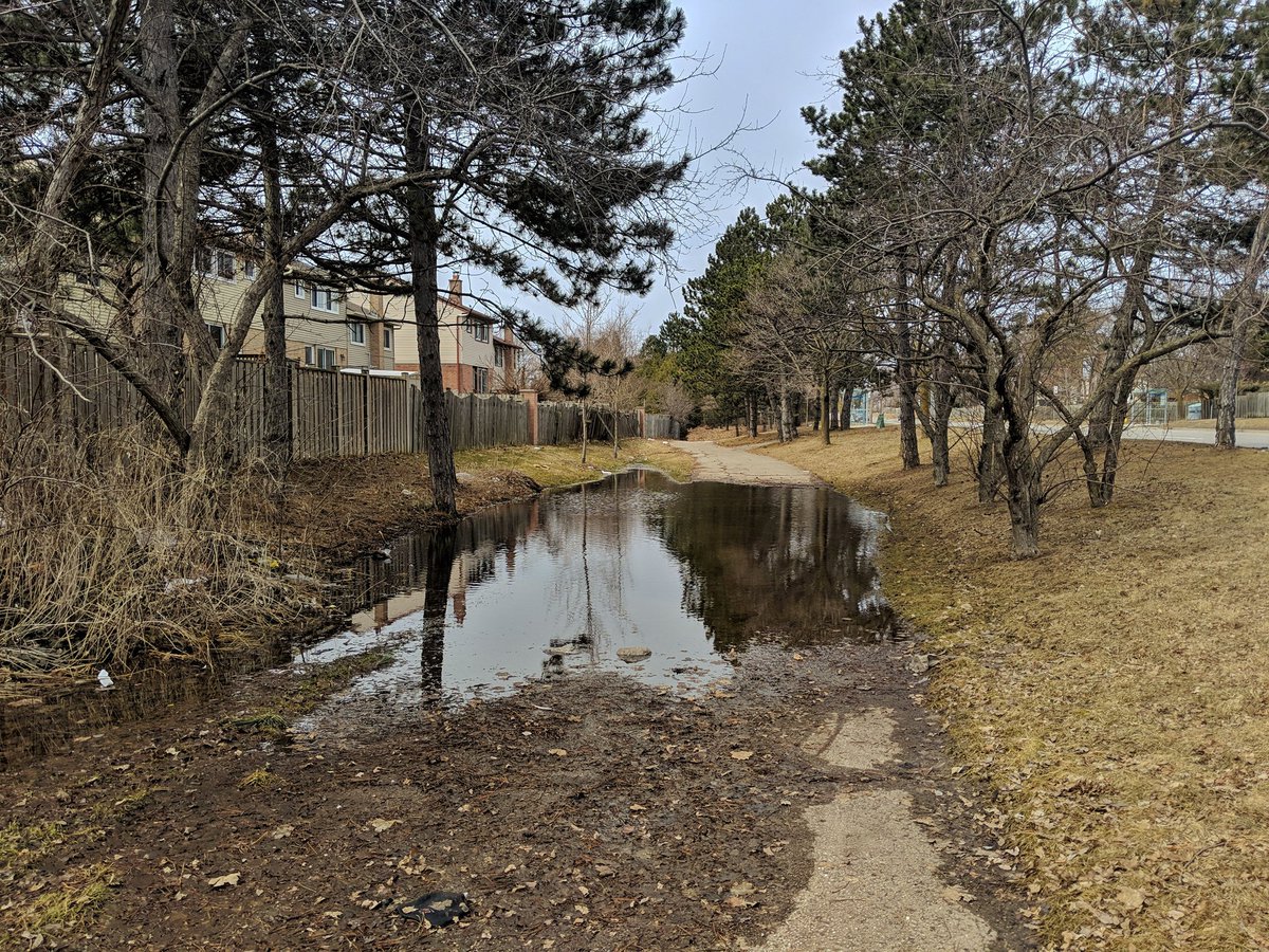
First major milestone is the confluence between the main and Malvern branches of East Highland. Looks like restoration work was completed here some time ago, and that it was sorely needed judging by the eroded cliffs.


Except for the full roar from the 401 in the distance, this is a natural sanctuary. The creek will become more urbanized upstream, but the walk is worth it just for this reach.


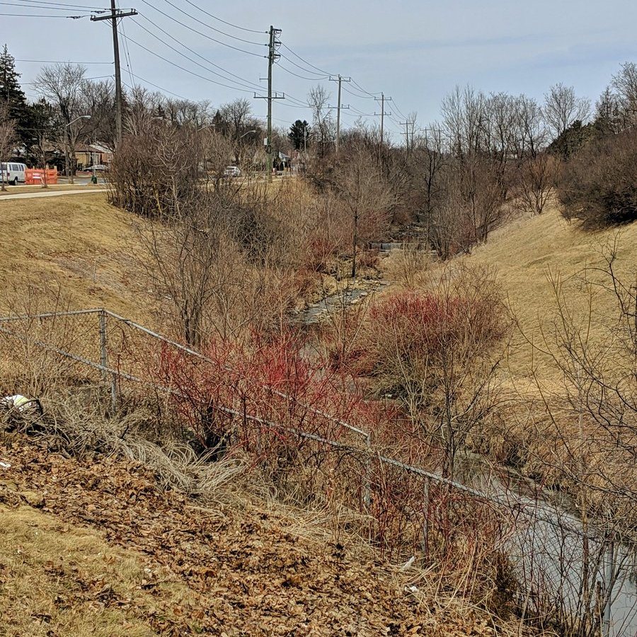
The march towards Scarborough Centre. It’s mucky and littered in this stretch.
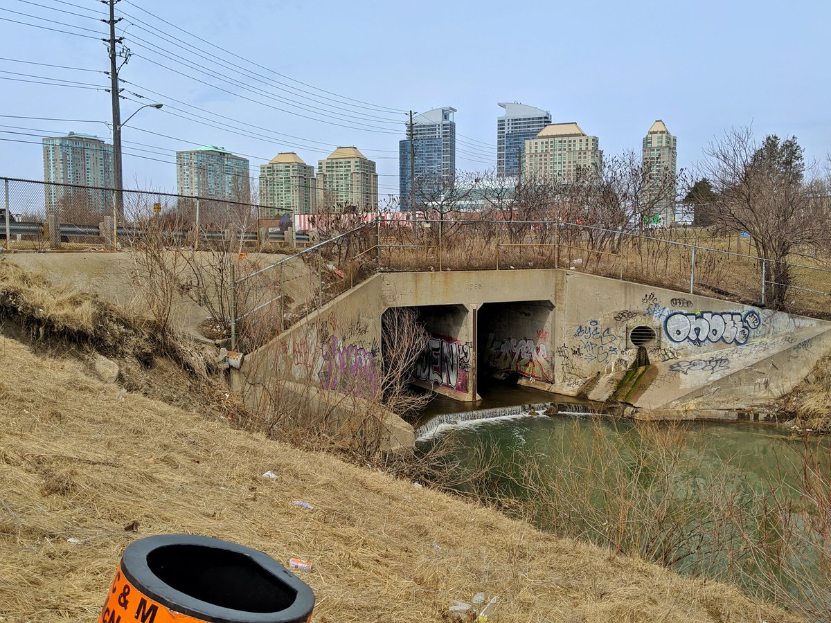
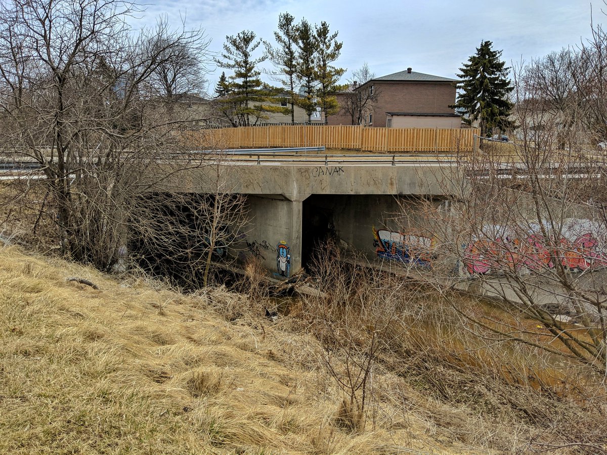
This trashy ribbon of nature turns north, and heads under the 401. Not going spelunking today.


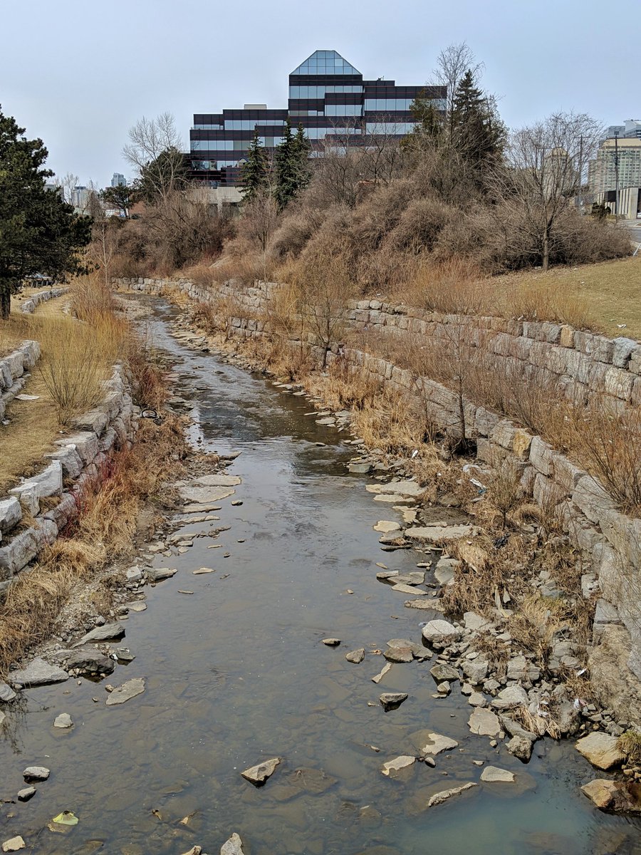
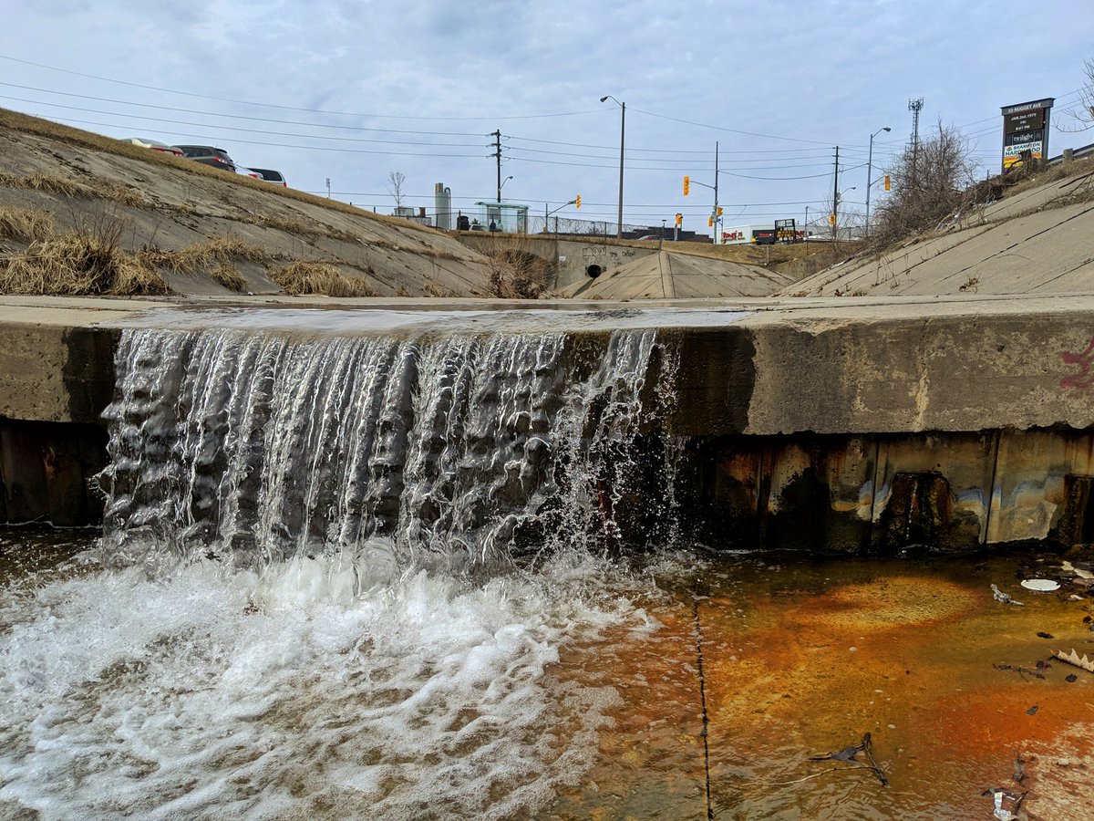
Over the really wide freeway, and to the other side of the culvert. East Highland Creek is now confined to a concrete channel.


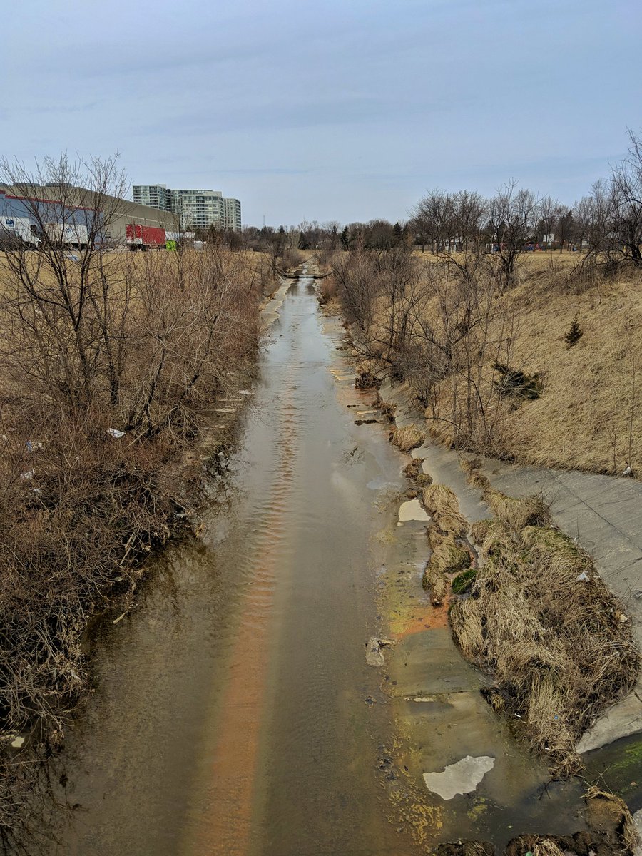
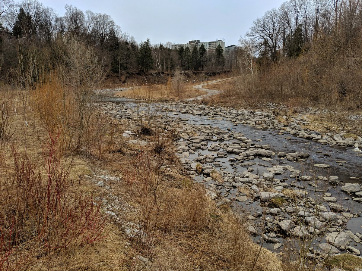
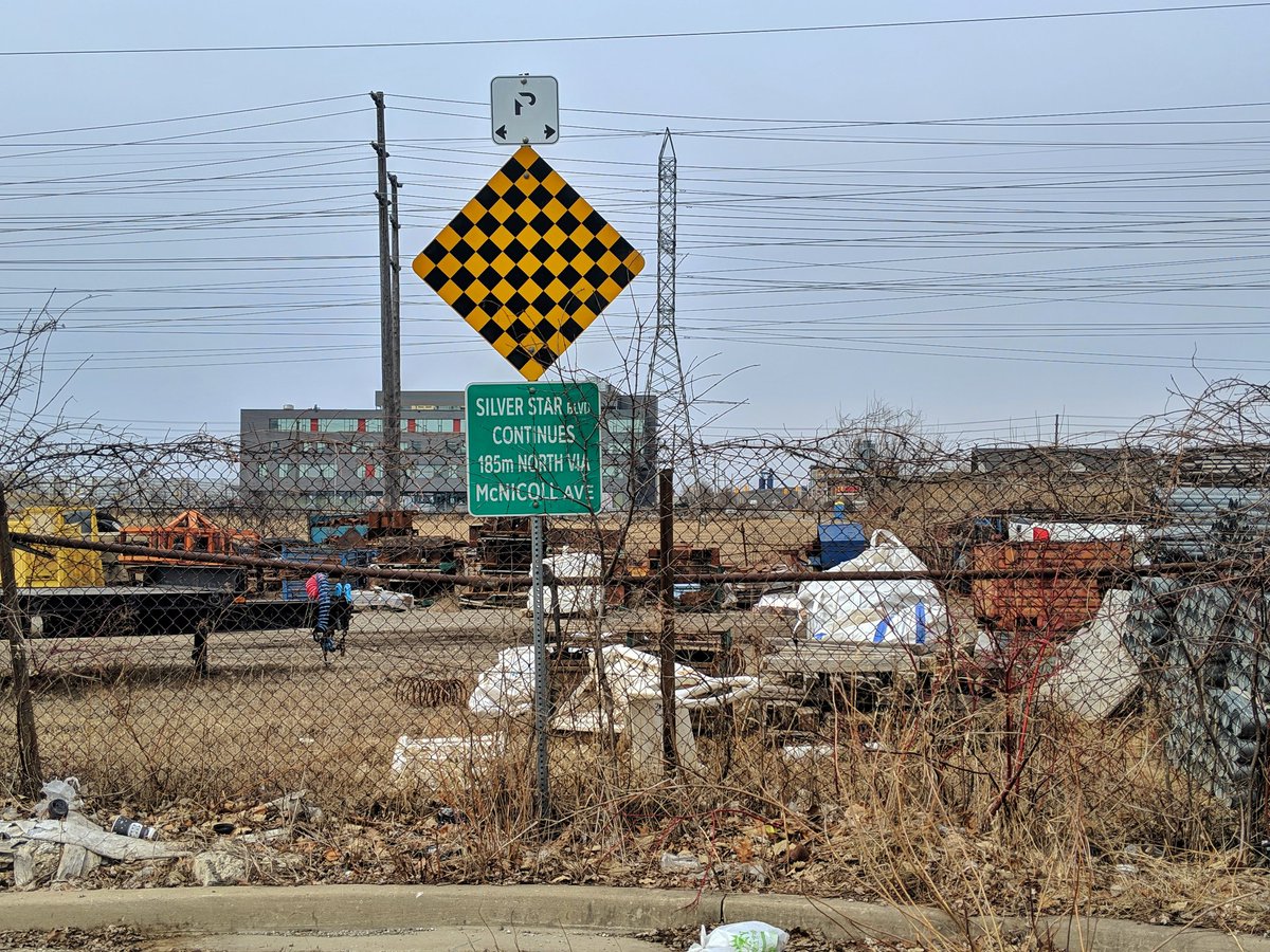
The creek gets very LA-esque round here, concrete channel widens up enough that you can walk along it on a dry week. Eventually it splits into two branches at McCowan: west and east (of East Highland Creek). Don’t ask me who came up with the (lack of) nomenclature.
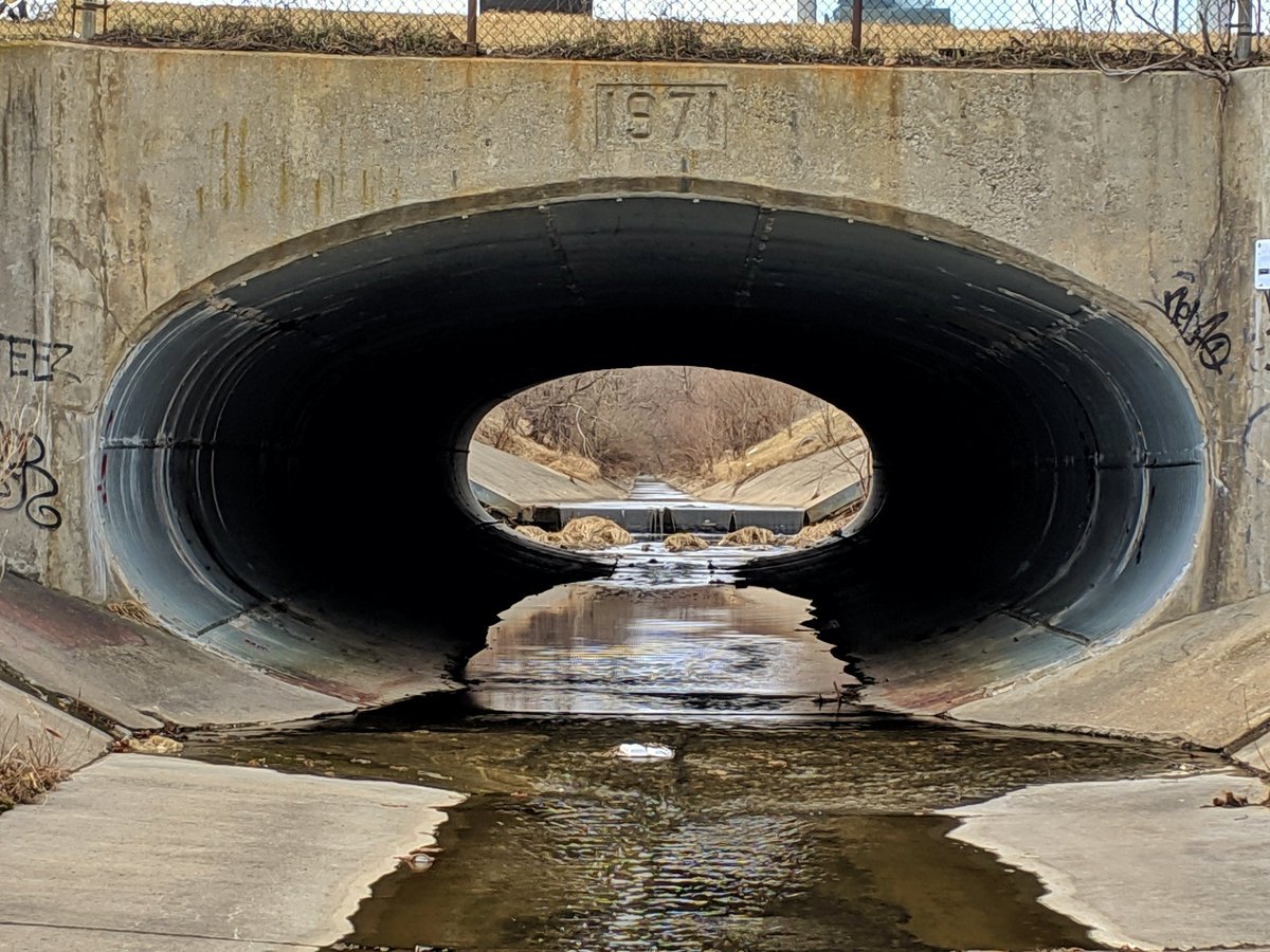
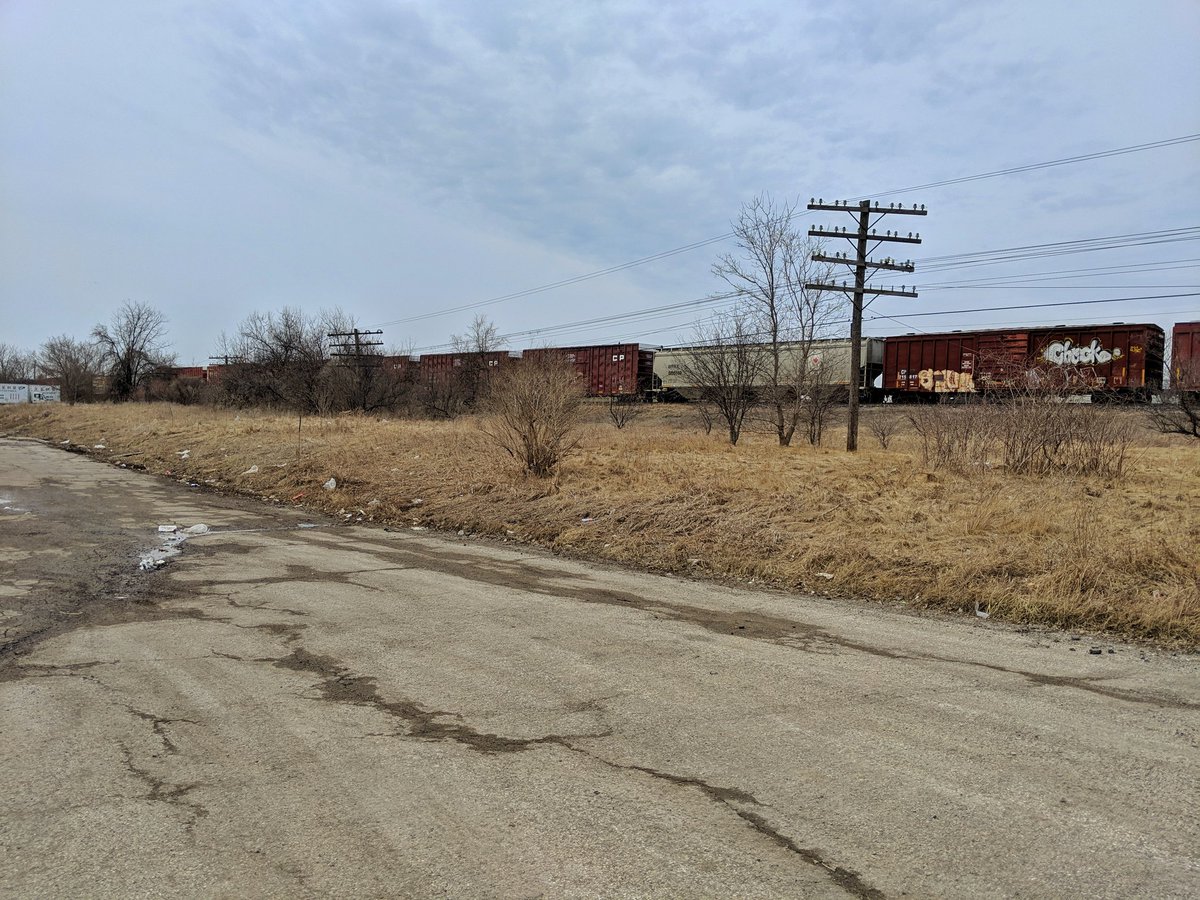
After the split, the creek channel narrows considerably, and the banks get steep. It ducks into a culvert to get beneath a huge railway delta that is the entrance to Canadian Pacific’s Toronto (Agincourt) Yard.
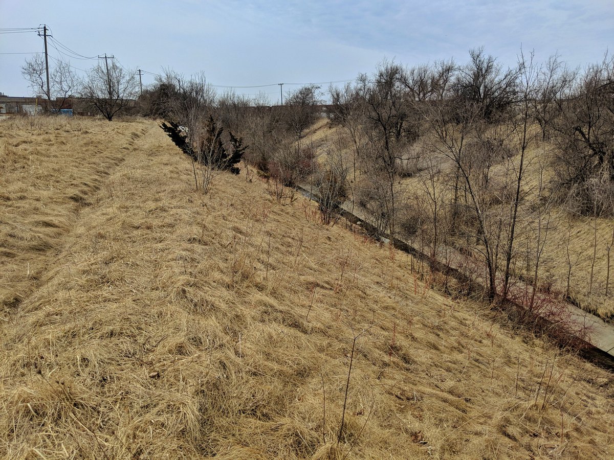


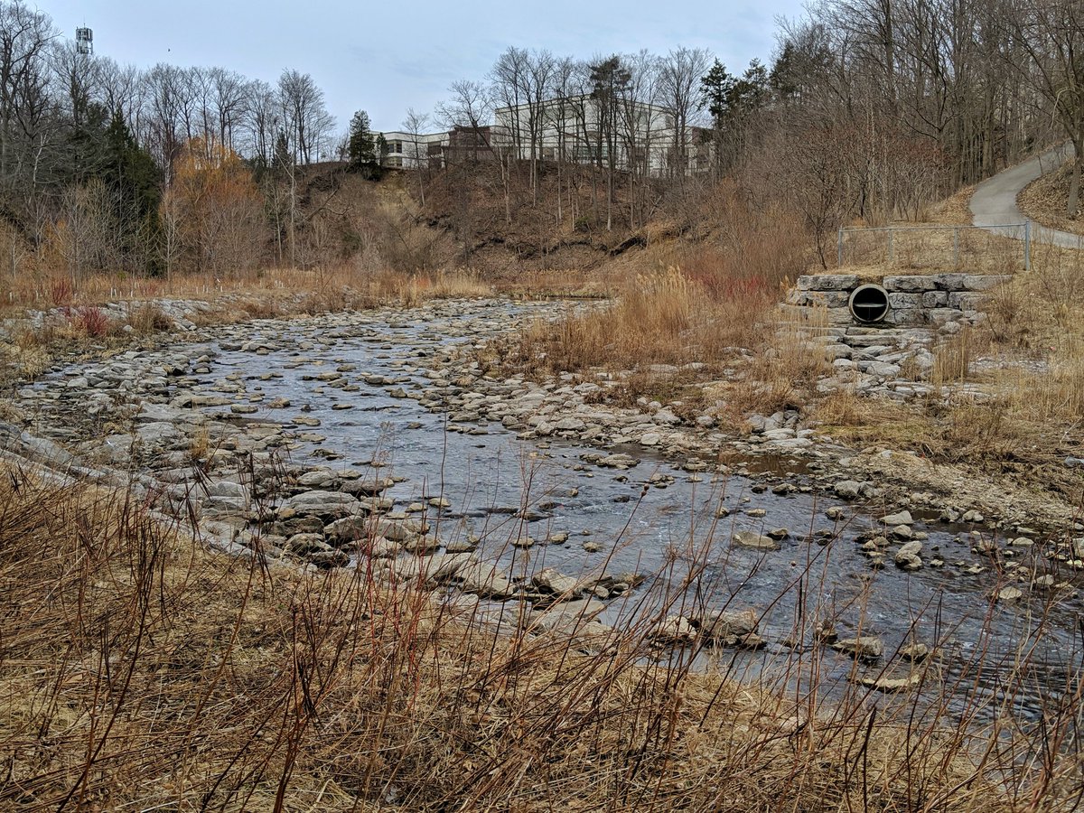
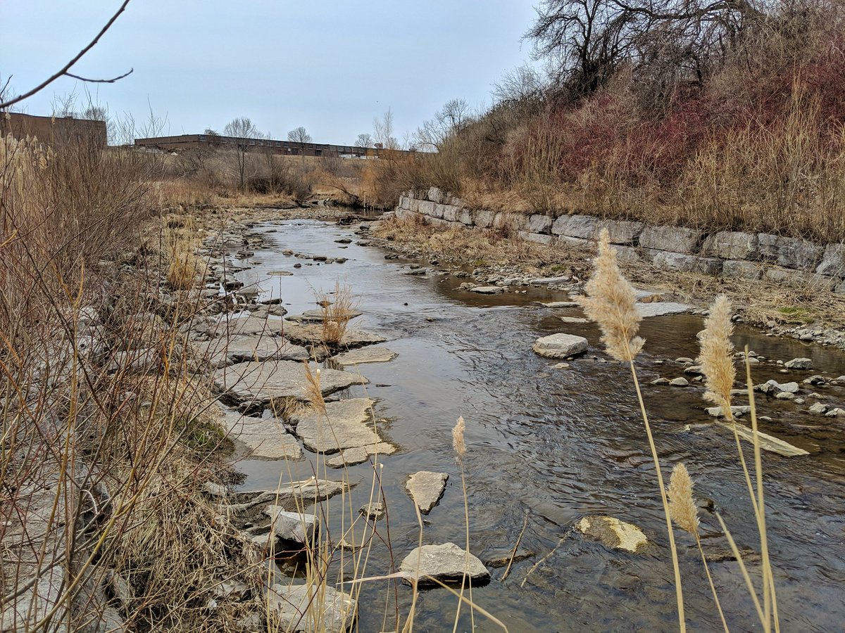
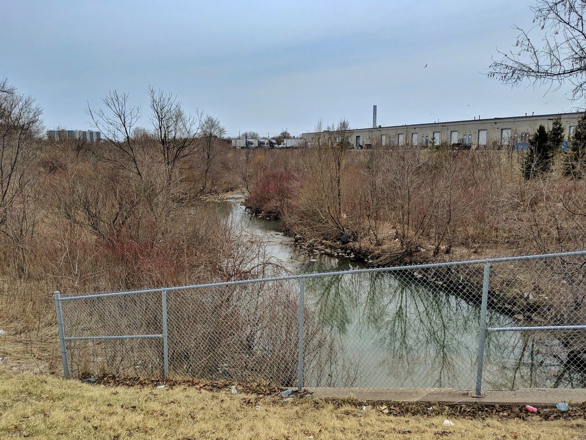
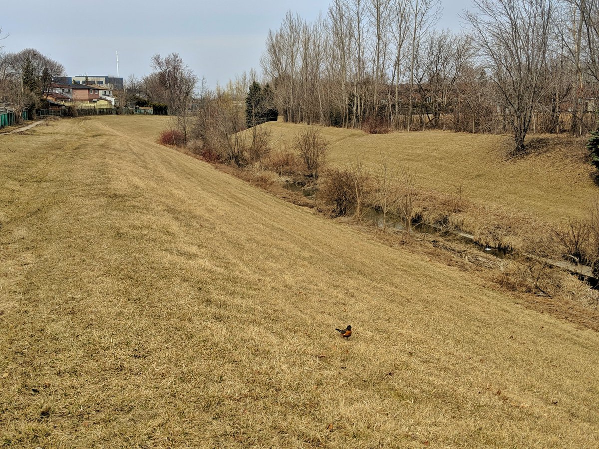
The creek goes concrete-free parallel to Brimley, but it returns to the west.

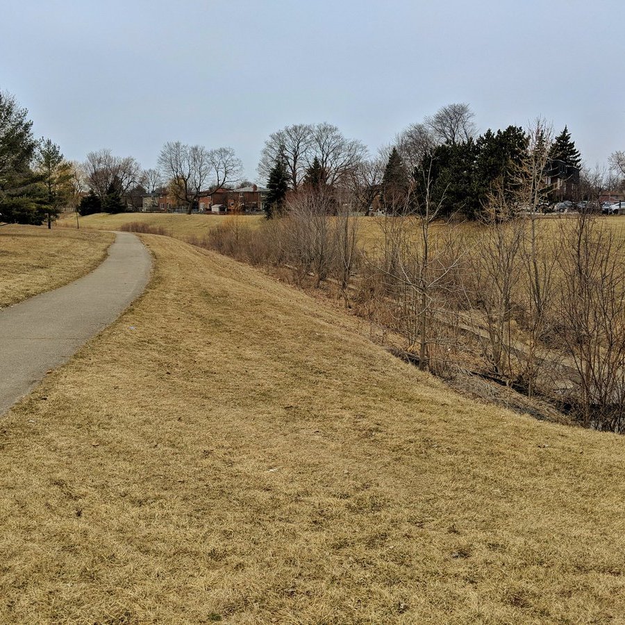
The pattern is holding. Skinny and straight channel with steep slopes, trail on one side of the tableland. Much better than what I was dealing with east of Scarborough Centre, and yet it’s upstream!


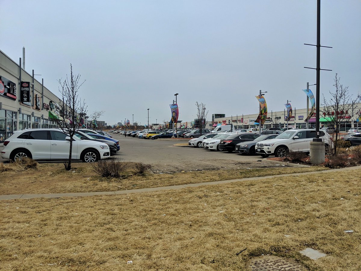
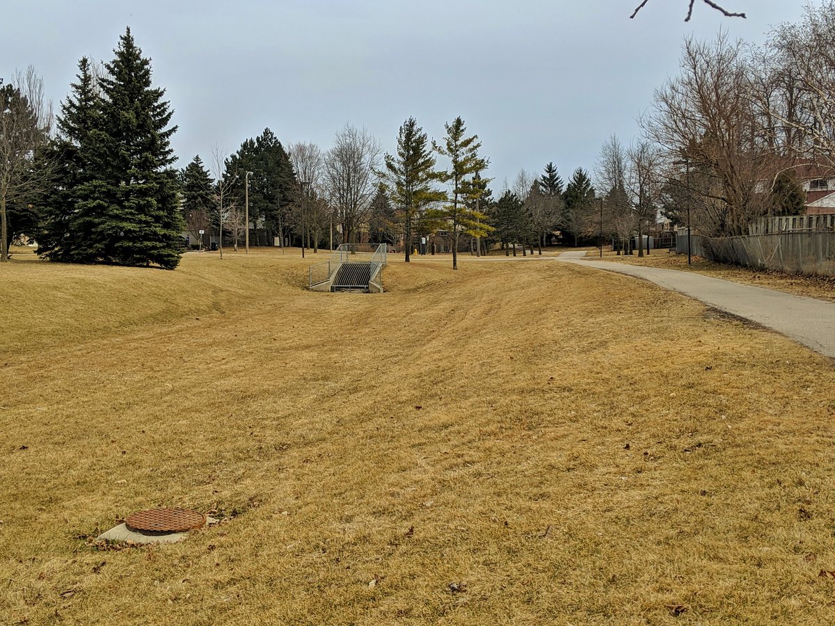
Pattern is broken. North of Finch, the creek becomes lost under local strip malls.

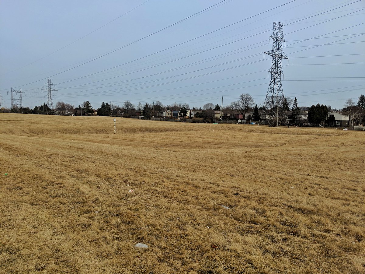
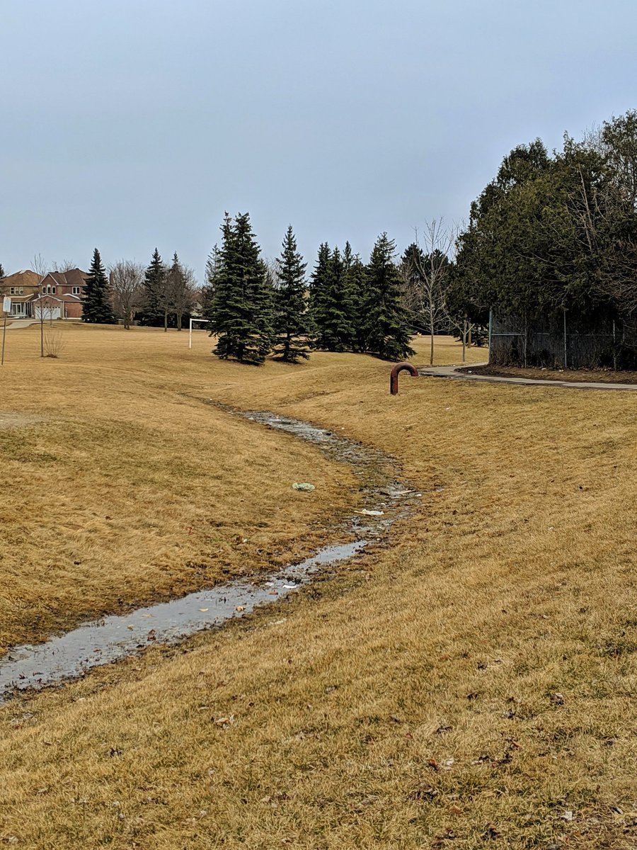
The East Highland Creek – West Branch is long gone. No sign of it. Hints of its history exist along the Finch Hydro Corridor: some kind of dry artificial pond east of Midland, and marshy conditions west of the GO Stouffville line. Other than that, nadda.

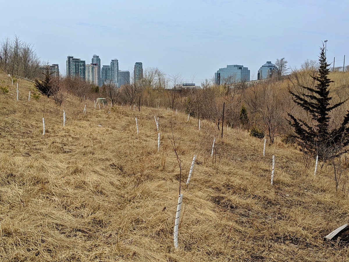
Since there’s nothing to see for the rest of the West Branch, I’ll cap off this walk by heading back east to pick up on the upper reach of East Highland Creek’s East Branch. It seems they buried this reach, but maintained the right-of-way for a trail.


It’s stupid obvious the creek used to flow here, the surface drainage makes it clear. Those signs disappear at the parking lot for Port Royal PS though, and East Highland East (EHE?) becomes truly lost. That’s it for today.


16.7 km
Date: April 7, 2019
Length: 16.7 km
Type: Riverine

Related Walks
East Highland continued downstream and branch upstream
East Highland II


East Highland’s East branch continued upstream
East Highland I
Intersecting hydro corridor east and west
Finch Hydro II