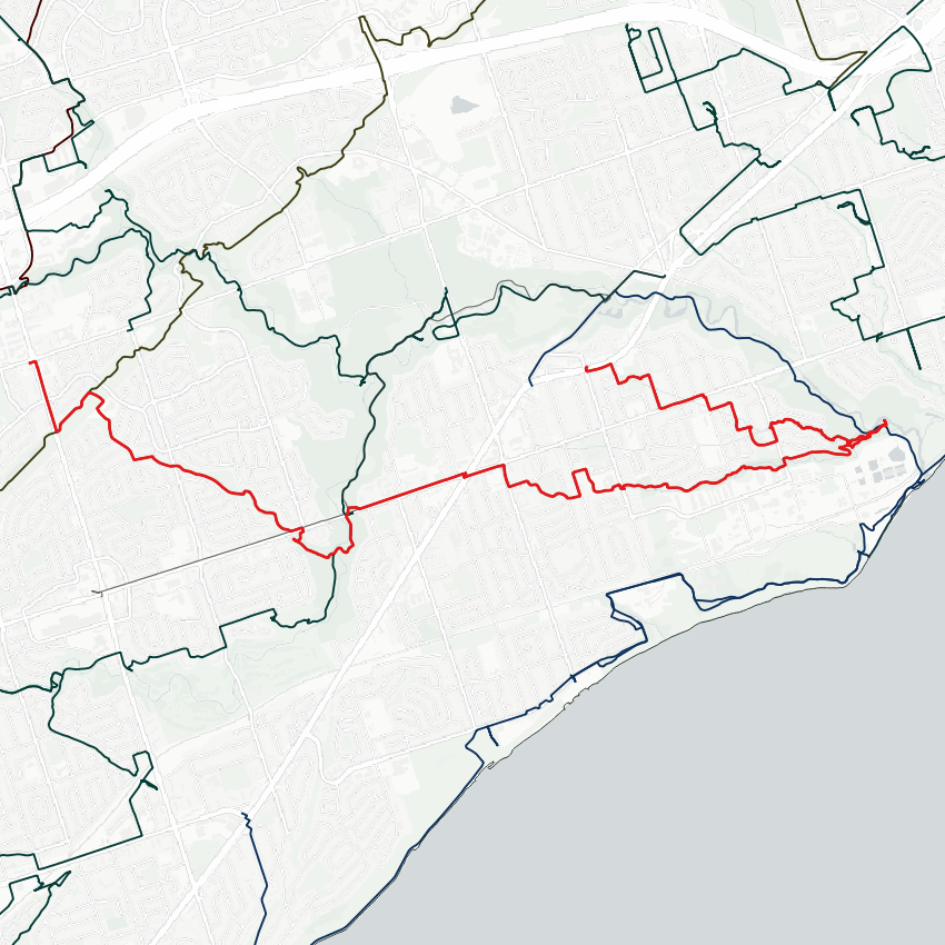
A nice sunny day for a walk, quite a windy start. I’ll be following tributaries of Highland Creek today. First one is a creek in the Curran Hall Ravine. We’ll start at its lost headwaters near the Gatineau Hydro Corridor. Let’s go.

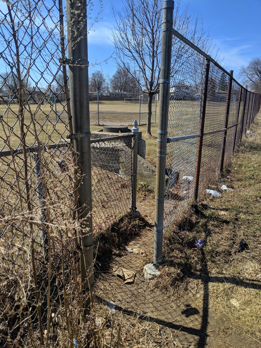
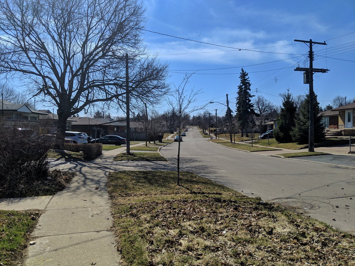
First signs were on the right track: inlets to a storm sewer below. Headwaters obliterated for single family homes and a school.


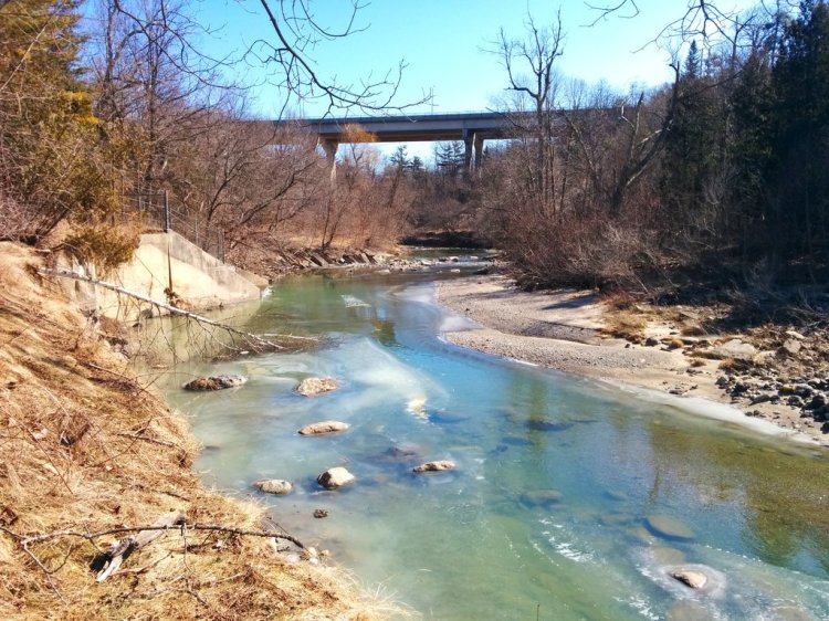
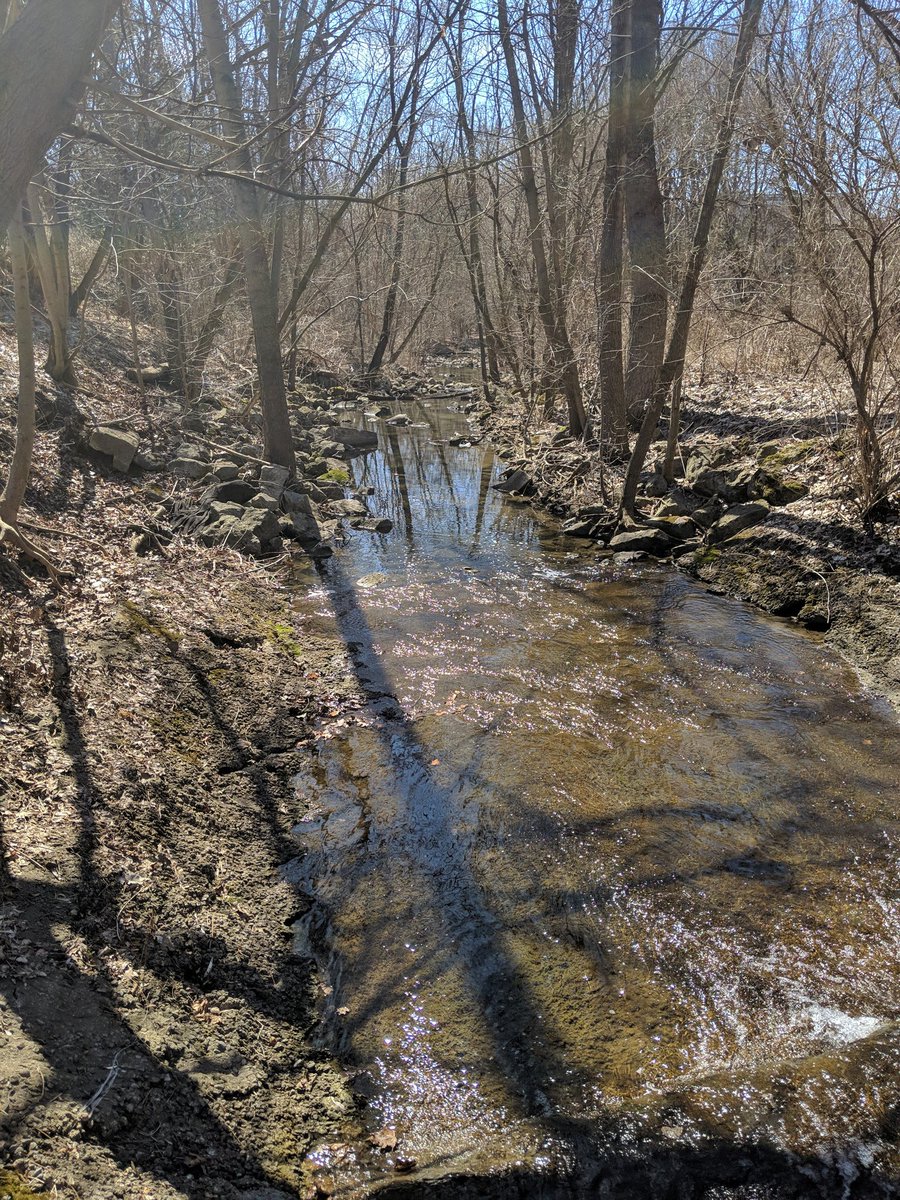
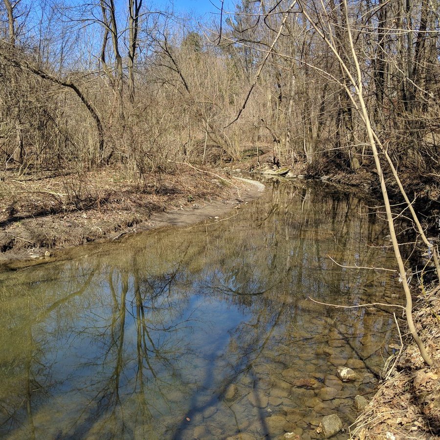
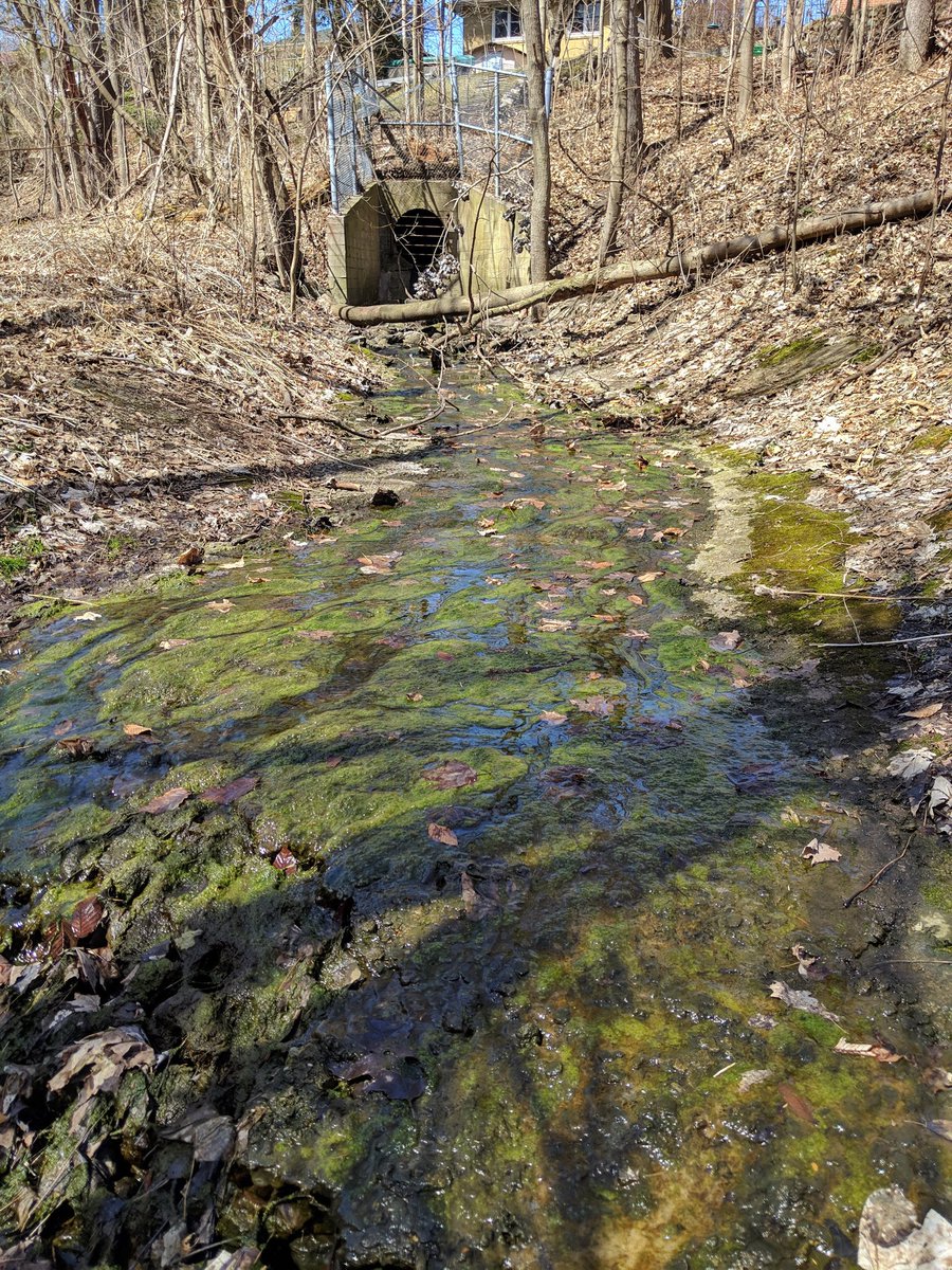
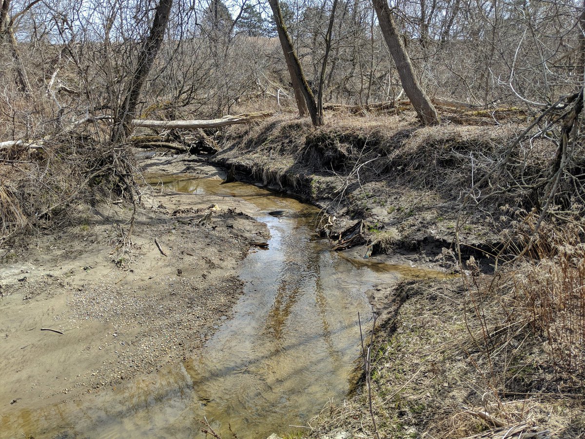
A couple more stretches of squishy saturated grass until the creek appears. It’s not some tiny trickle either! A couple metres wide, nice clear water.


It is pretty, but there are reminders that it is an urbanized waterway, like much of the Highland Creek watershed.

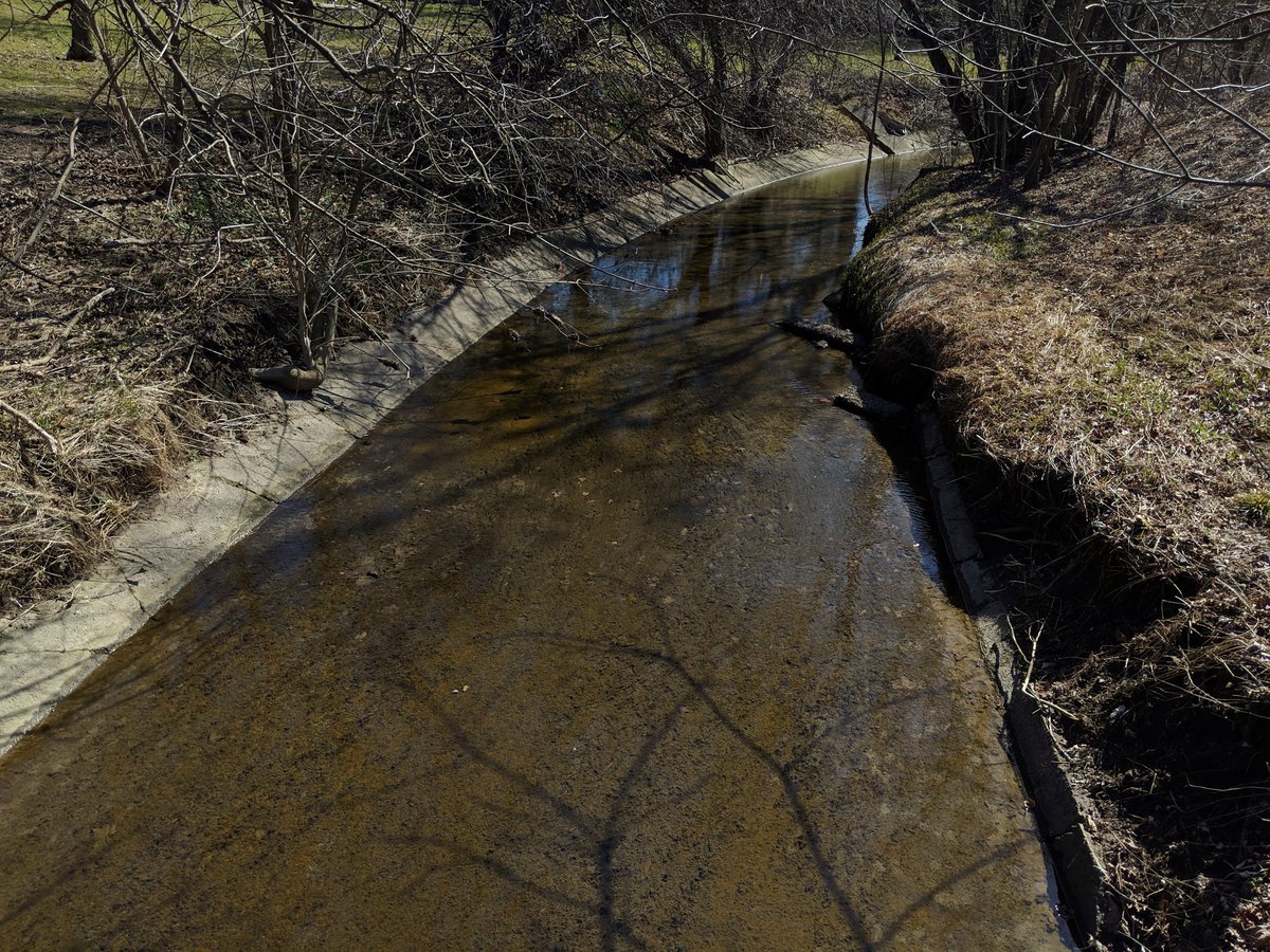

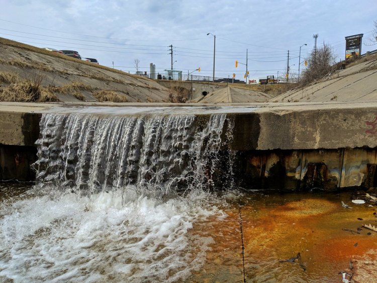
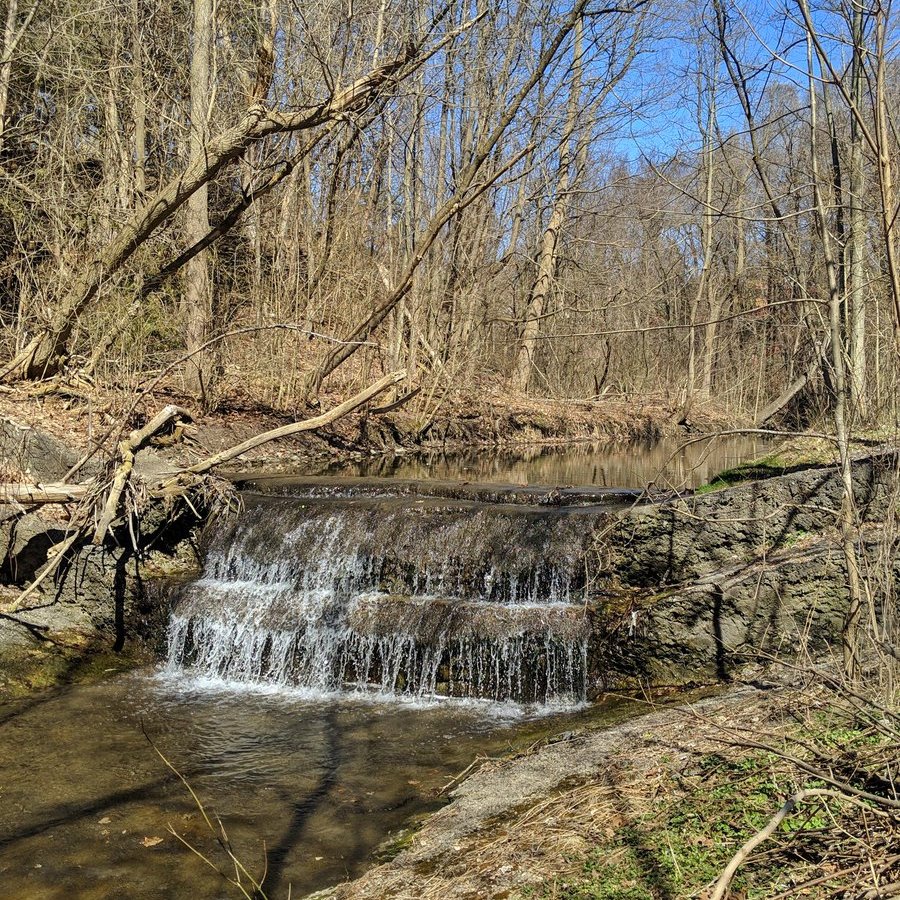
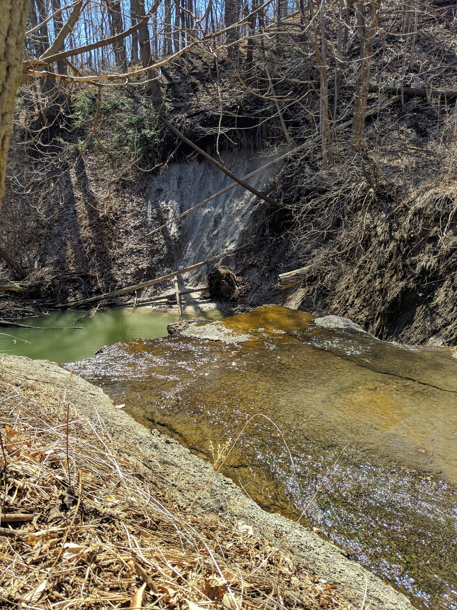
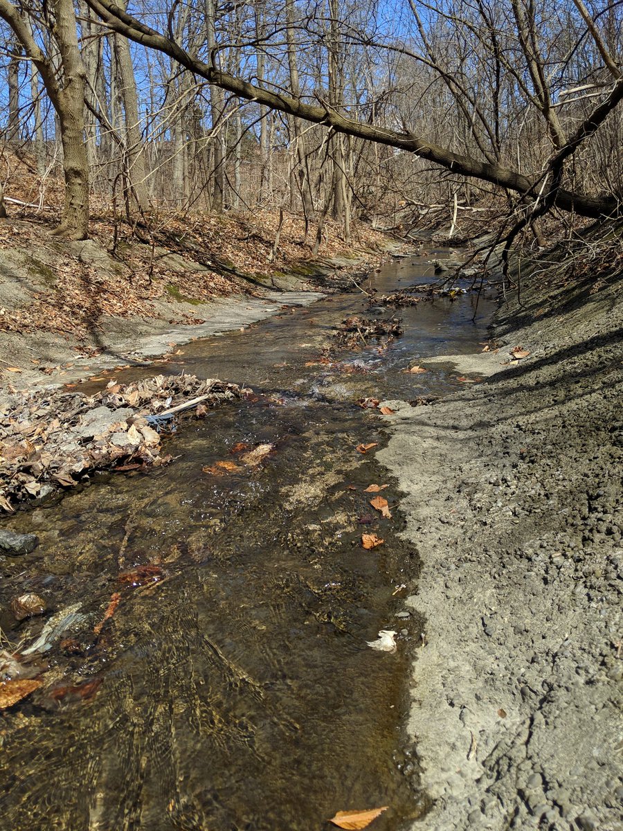
More urbanized nonsense. It’s not even doing its job. Erosion is noticeable.


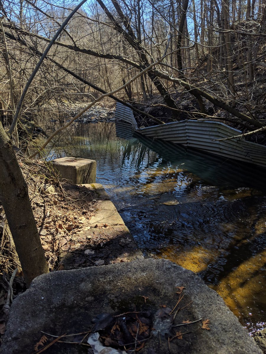
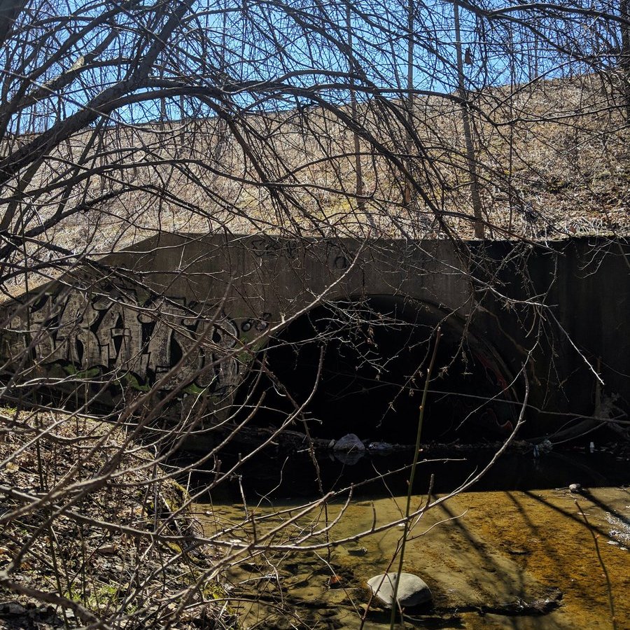
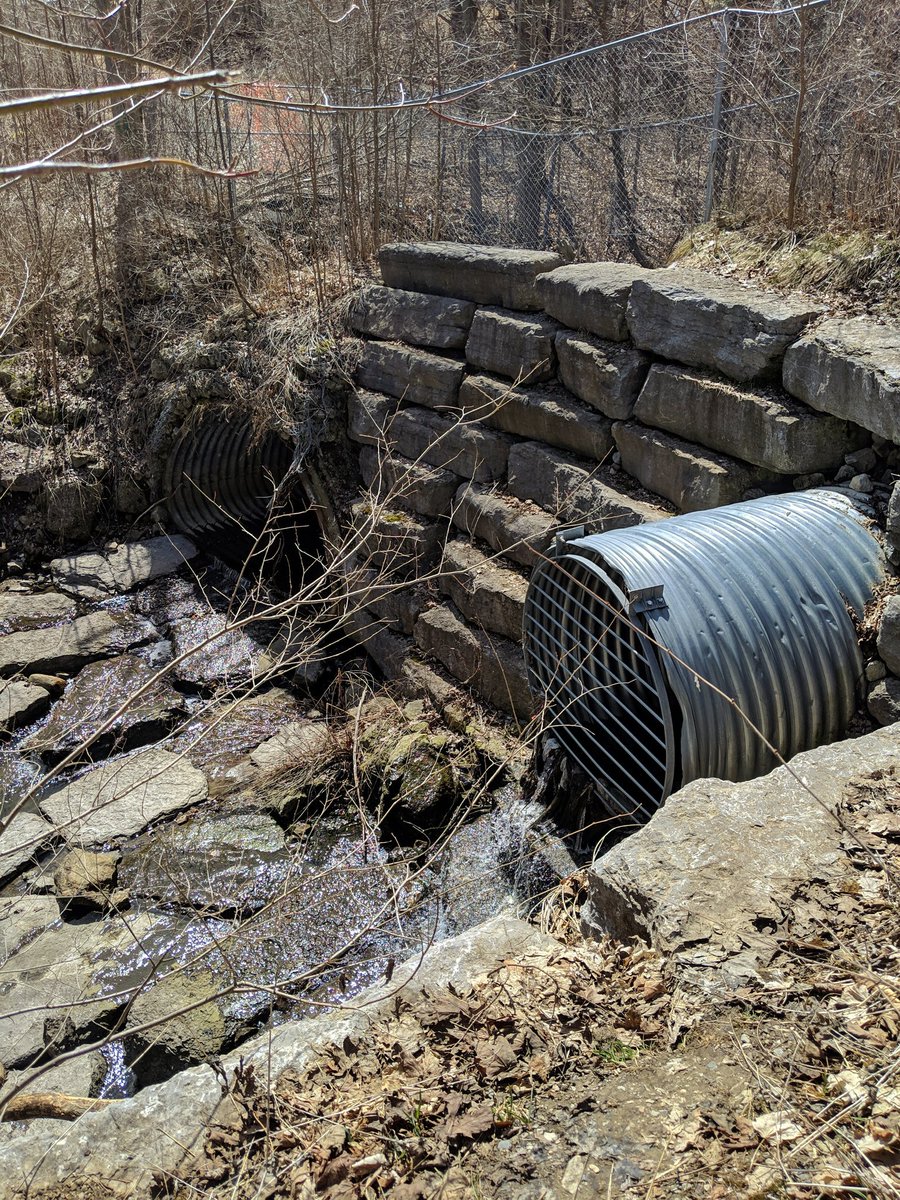
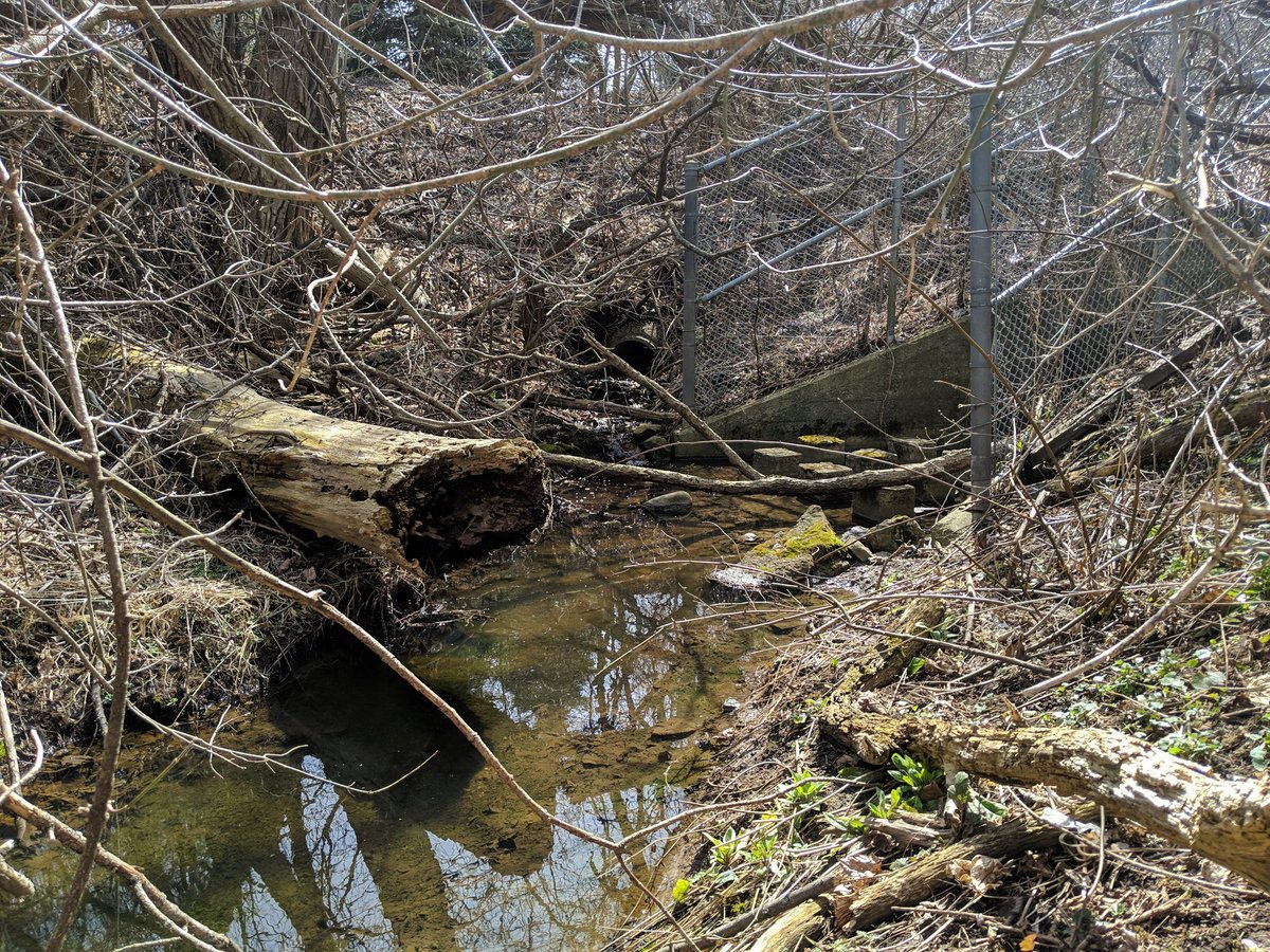
Another artificial bend and fall before the creek hits the berm supporting 6 lanes of Lawrence Avenue. Bit of a detour for me to get to the other side, the creek is relegated to a culvert that barely looks big enough for a major storm.

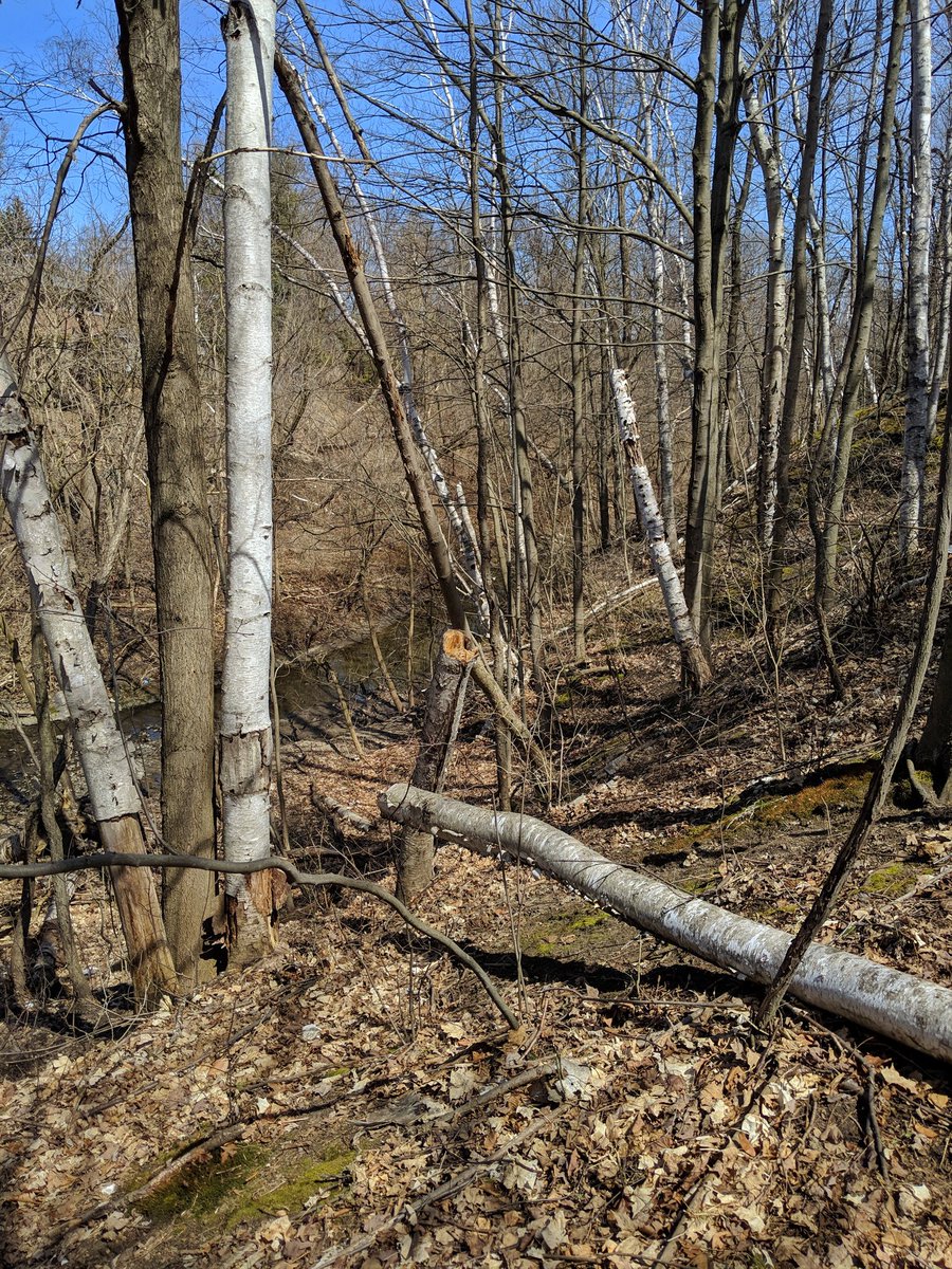
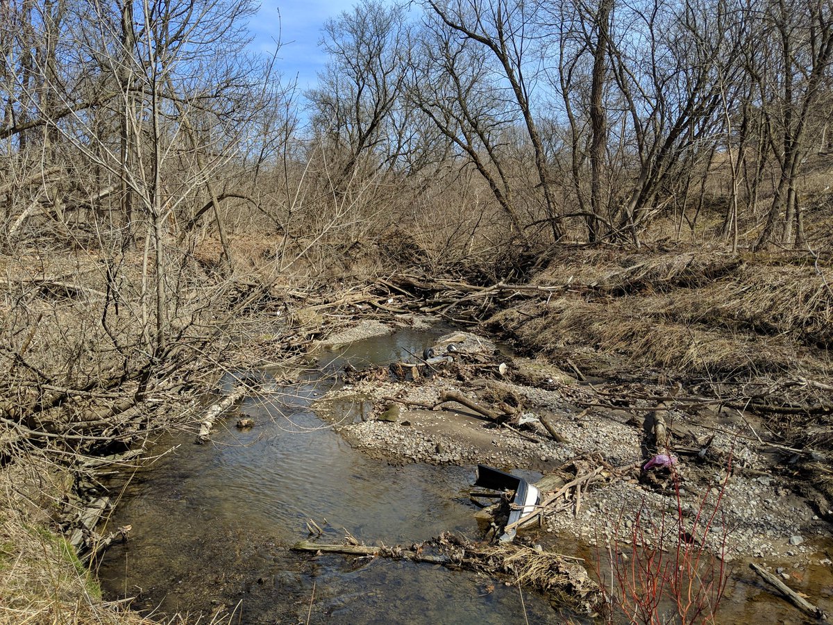
Major erosion scars continue all the way to the creek’s confluence with West Highland Creek. That’s the end of the trip through Curran Hall Ravine, onto the next tributary.

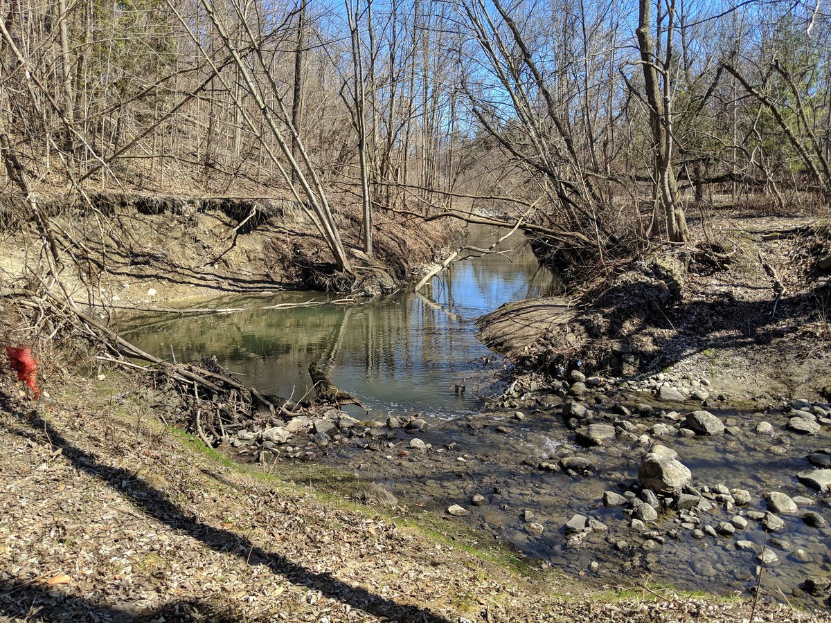
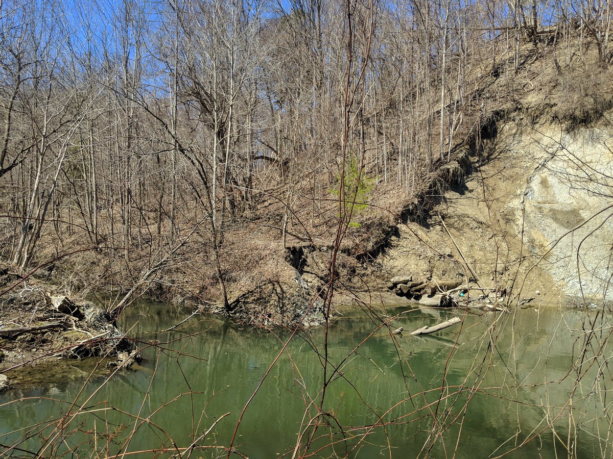
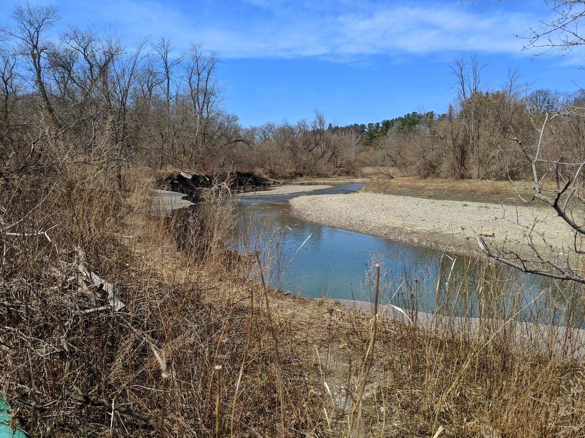
Next tributary is West Hill Creek, which branches off of Lower Highland Creek not far upstream from where it flows into Lake Ontario. My hunt for the headwater starts southeast of Lawrence and Morningside. Once again, erosion is very apparent.


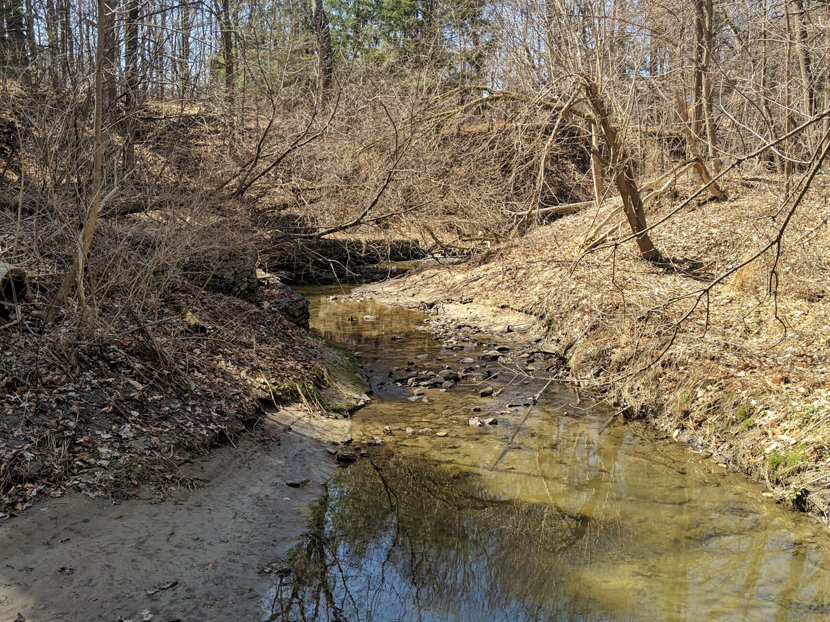
Sick meander, then West Hill Creek is buried for a couple blocks. Reappears east of Manse Road in a in a deep channel.


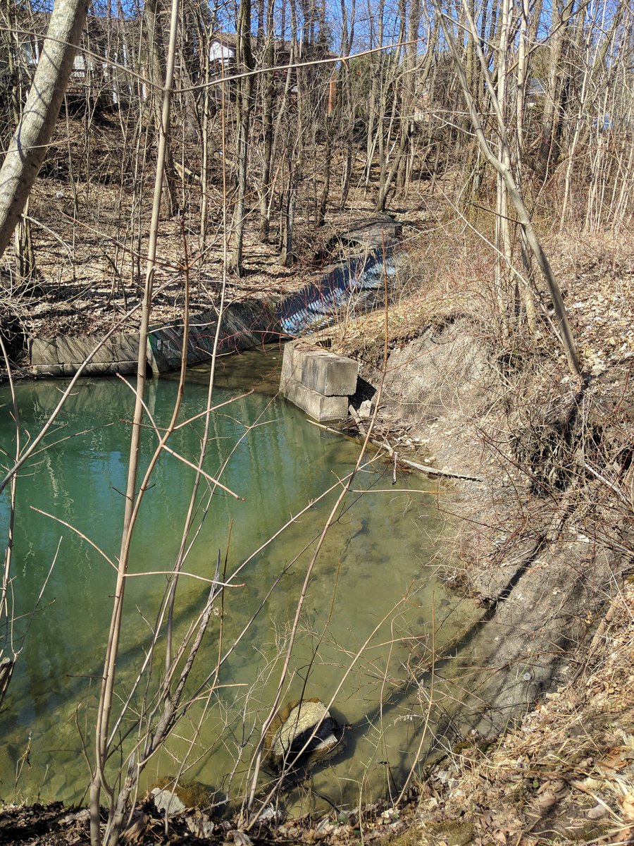
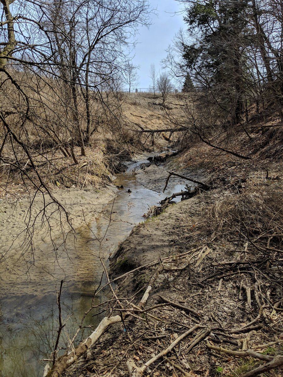
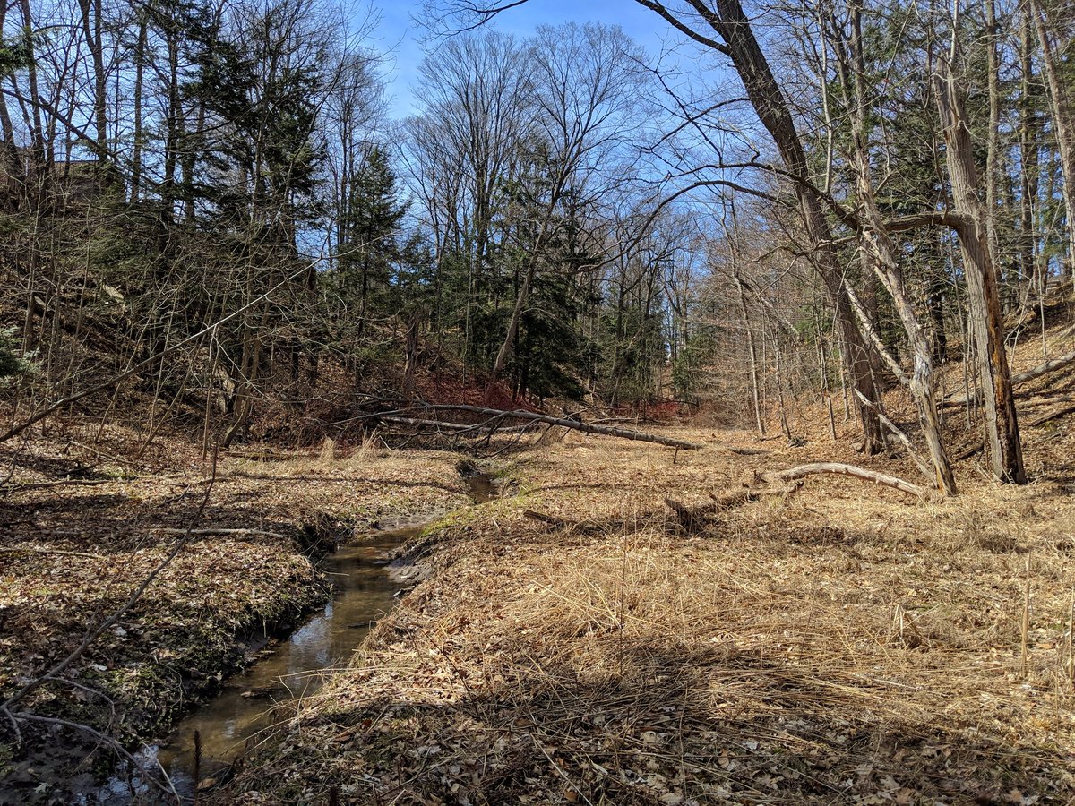
There’s a lovely ravine, but quite the modified channel. Mix of concrete and gabion walls.


Urbanization, and the lack of evidence that it works, continues on.


The creek has taken this bridge out. Wonder how long it’s gone unfixed.

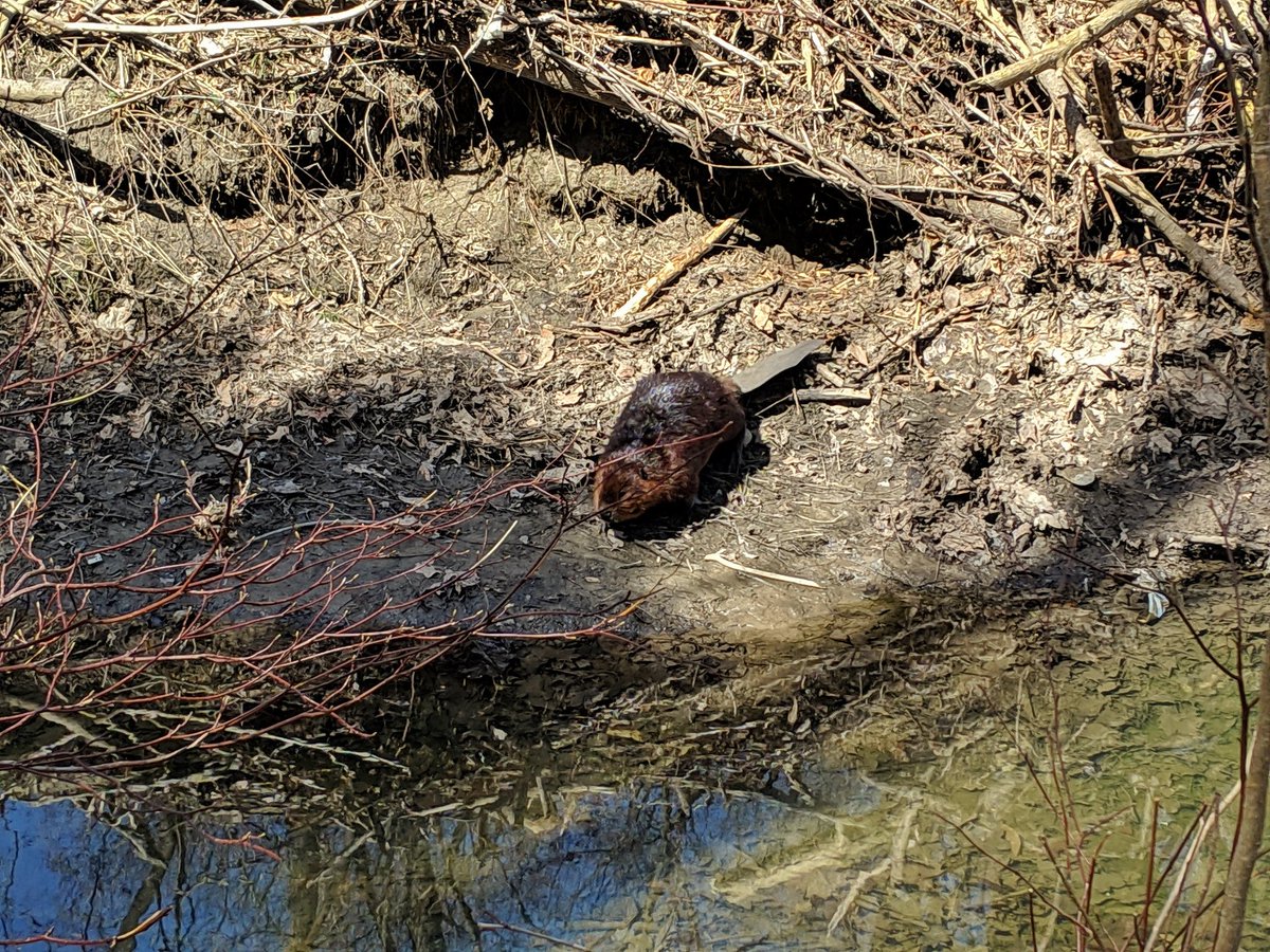
The valley wall gets really high. Then, just when I’m thinking the ravine is pretty quiet and devoid of life, I stumbled into a beaver! West Hill Creek ducks into another culvert and back out east of Beachgrove Drive.


Some pretty good beaten paths into Janellan Ravine. Nice views from the tableland.


It might just be the colours left behind from winter, but as West Hill Creek reaches Lower Highland, the entire ravine looks really rough. Erosion, wind and rot seems to have taken a toll on the area.


A glance up Highland Creek, then back to tributaries. This is a tributary of West Hill Creek, not far west of its confluence with Lower Highland. Deep channel, not a lot of flow. Some more beaten paths courtesy of some unspoken samaritan.


Luxury of beaten paths ends. The ravine gets skinny, overgrown, and mucky. I’m glad I’m not going through here in the late spring or summer, but I still have regrets. After a half hour, I reach the road, not before spooking more local wildlife.


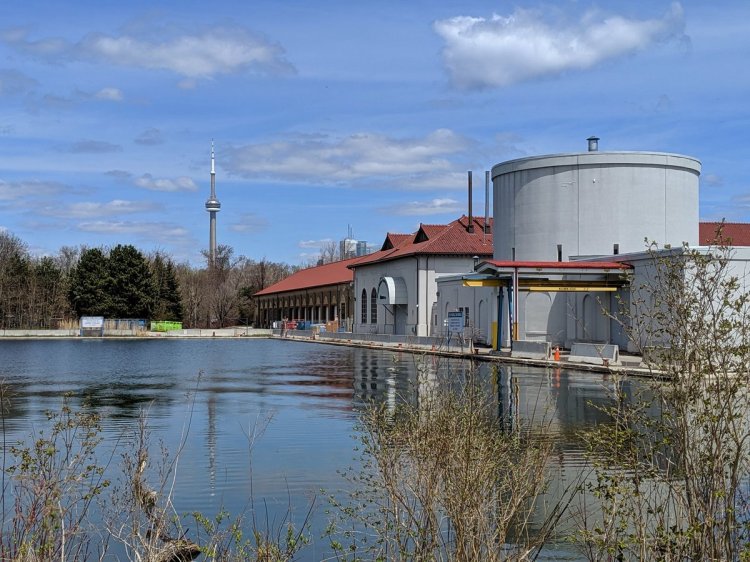
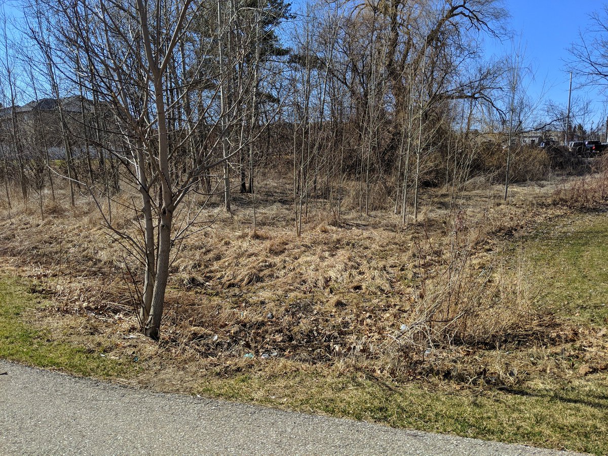
The tributary goes through someone’s backyard, and then is lost to development. Local inlets and topography make it clear where it used to flow. It kinda lives on in Megan Park as a stormwater management pond.


Another marsh that drains to the pond. That’s about it for the last gasps of this tributary. Going to call it a day here.

Date: April 13, 2019
Length: 13.9 km
Type: Riverine
Related Walks

West Highland upstream and downstream of confluence
West Highland II
Lower Highland upstream and downstream of confluence
Lower Highland and Shore