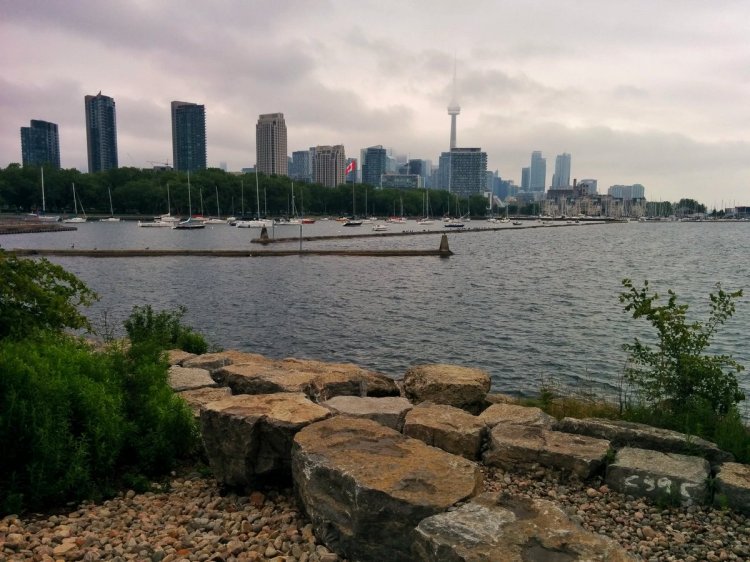
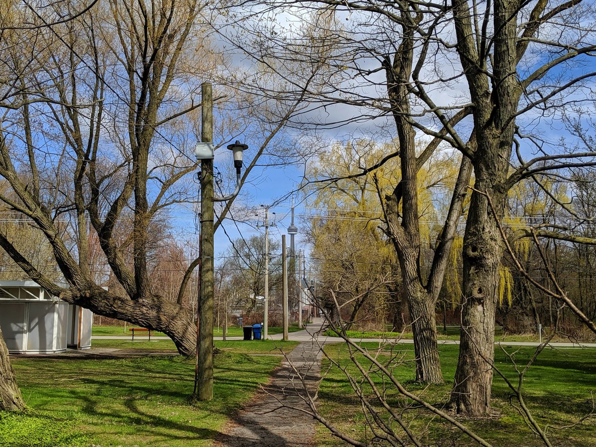
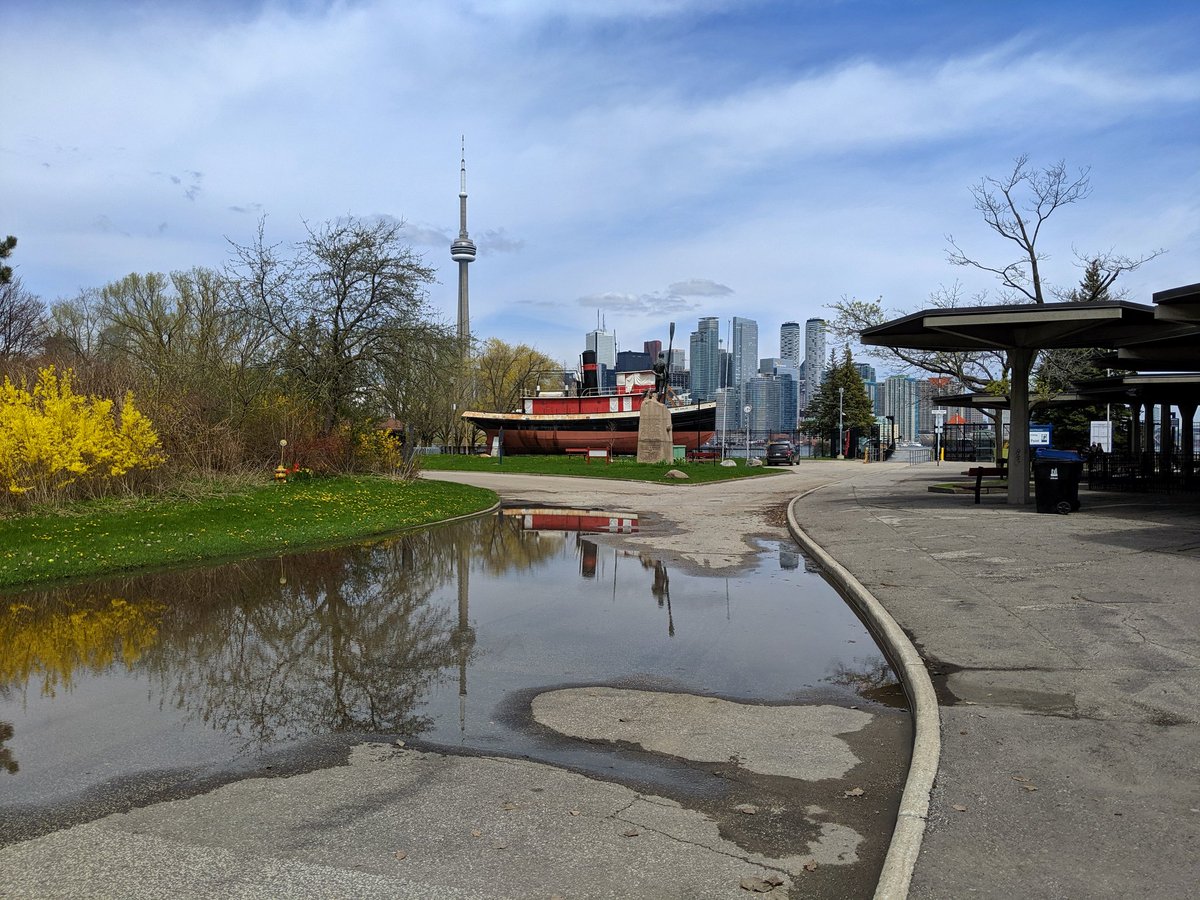
An excellent day for a walk. Today I’m heading over to the Toronto Islands, mostly because the lake level is rising, and I want to cover it off before too much flooding occurs and parts of the Islands are restricted from access. Let’s go.
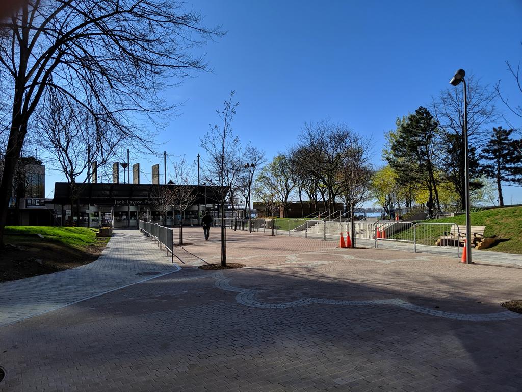

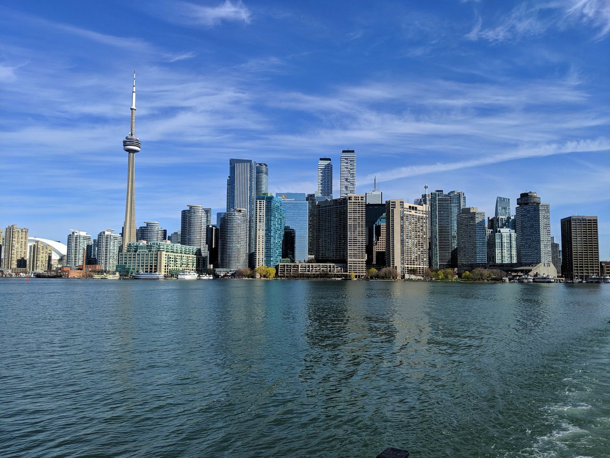
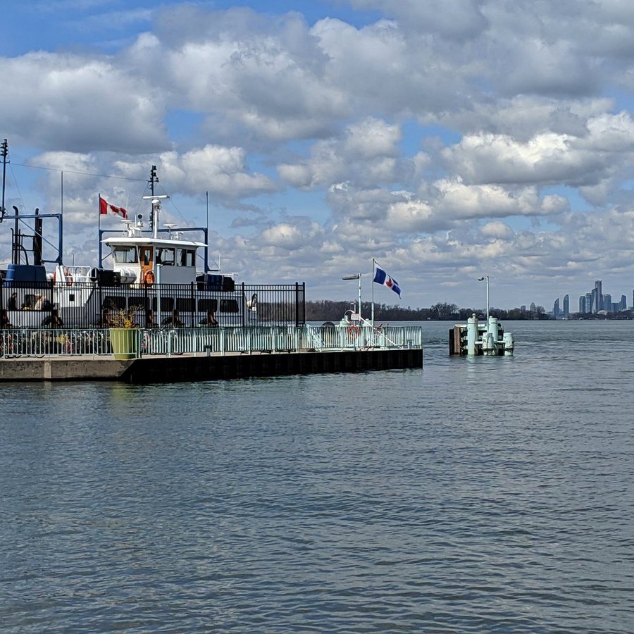
Riding the ferry out of the core. It’s a rite of passage.


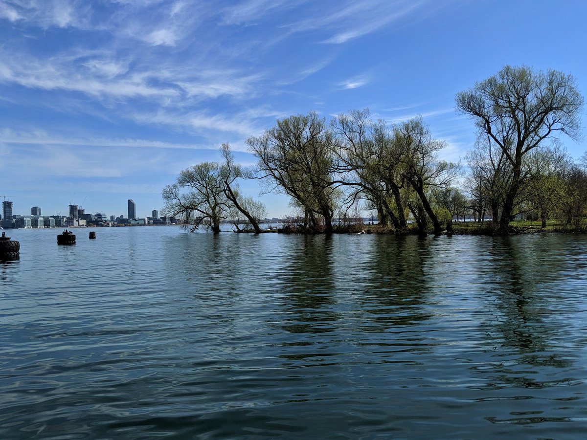
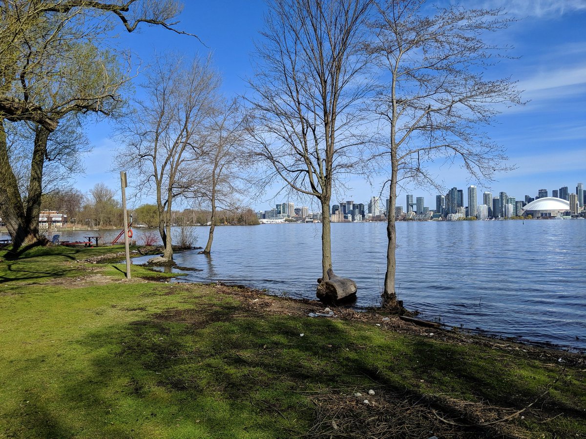
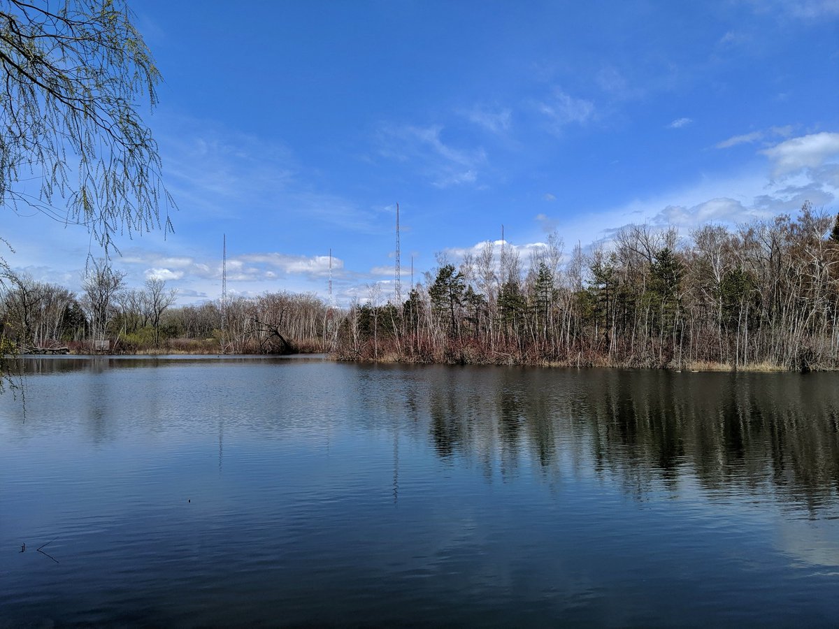
Covering Olympic Island, it’s literally tkaronto out here; the trees are standing in the water. Low points in the land have flooded, but otherwise the terrain is good.

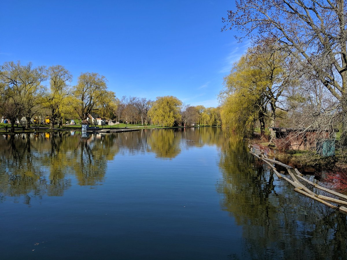
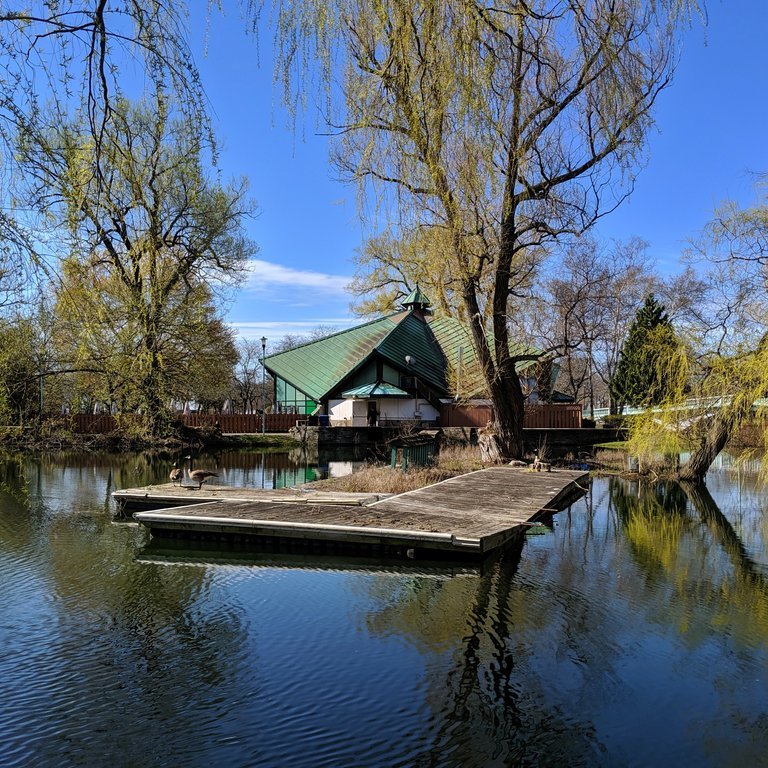
Through Centreville, probably one of my earliest childhood memories. Past some willows and across the Long Pond to Centre Island.


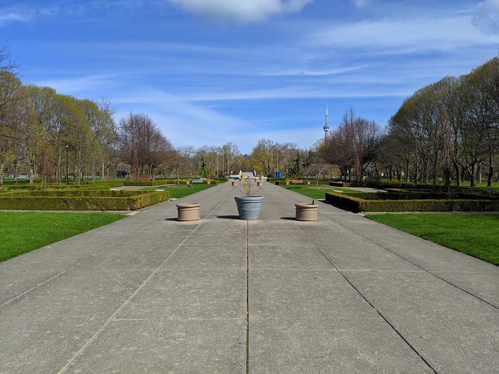
Down the Avenue of the Islands to Centre Island Pier. Used to be another ferry link to the US, but can’t imagine it being all that exhilarating. Nothing but open water.
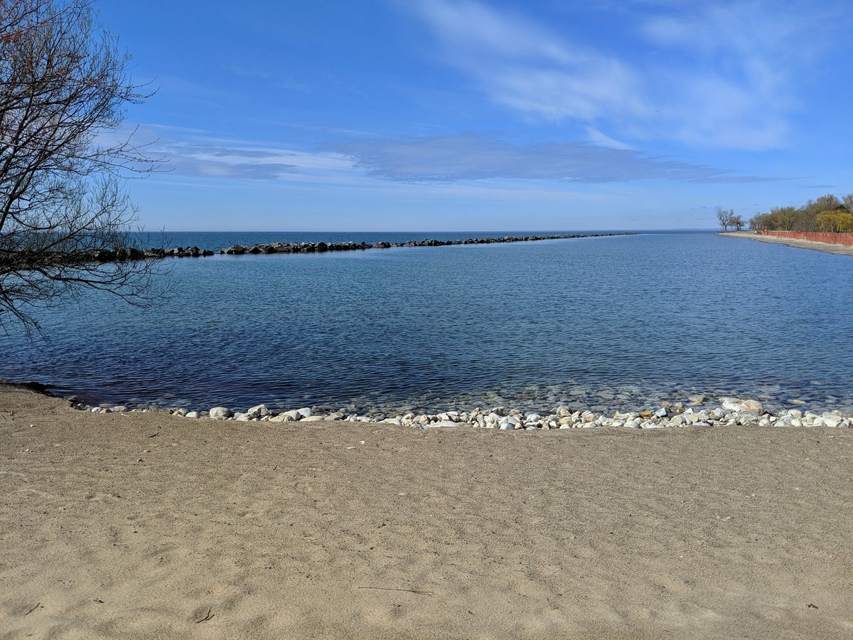
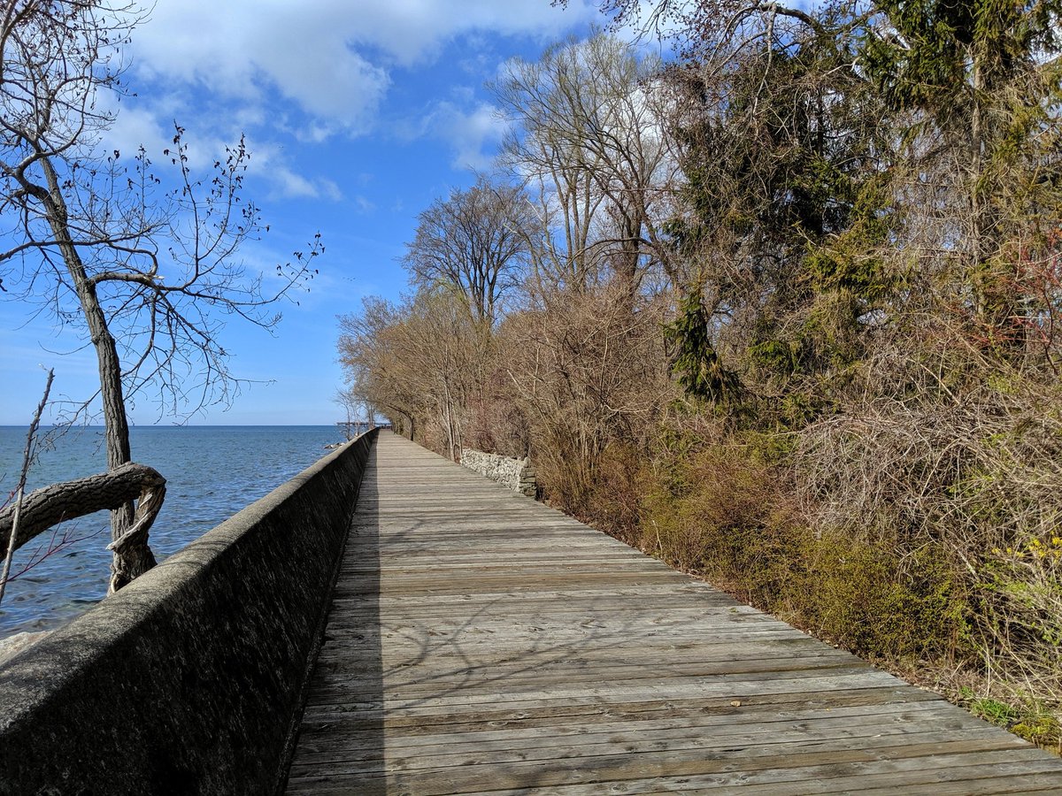
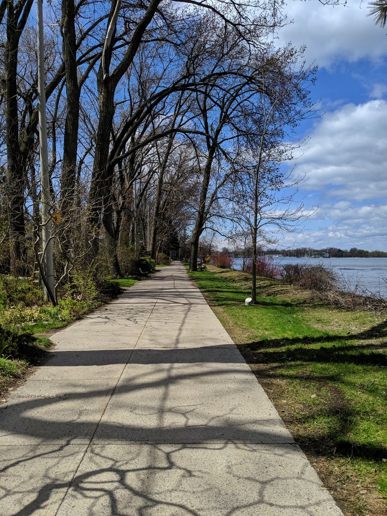
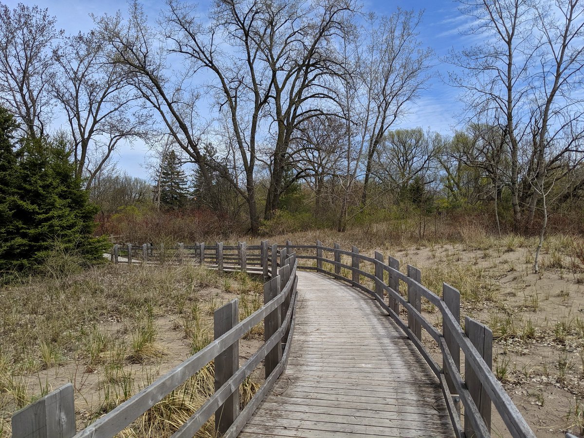
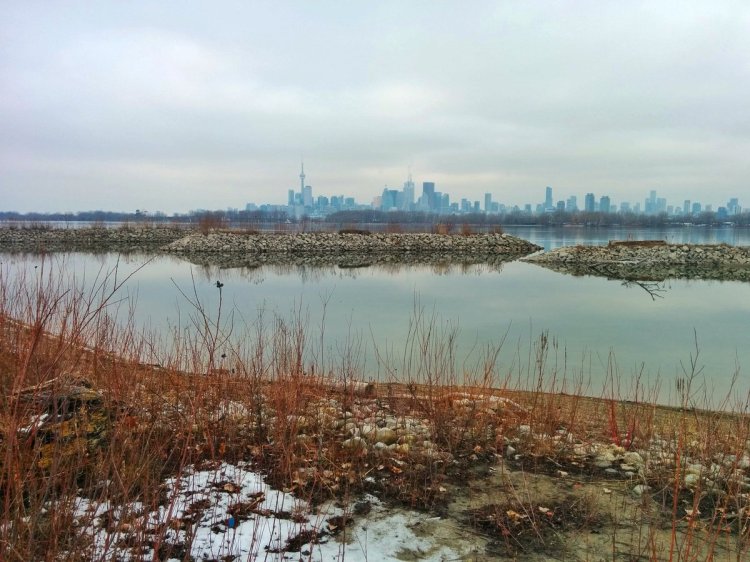
The boardwalk. An excellent secluded stretch to relax and enjoy the view. And maybe the hundreds of birds squawking on the Leslie Spit.


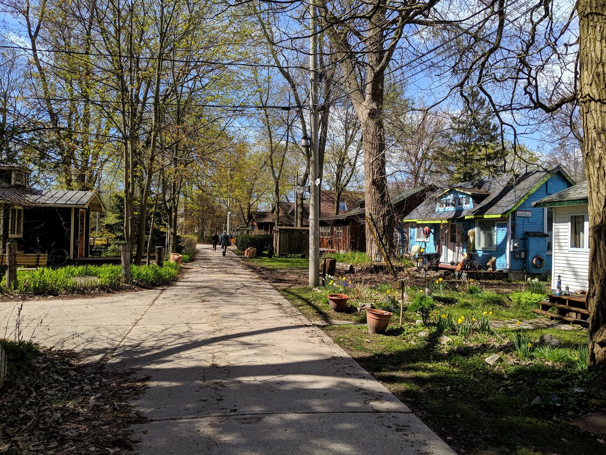
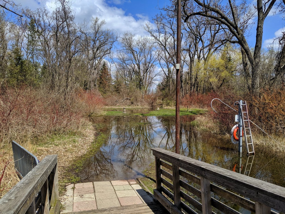
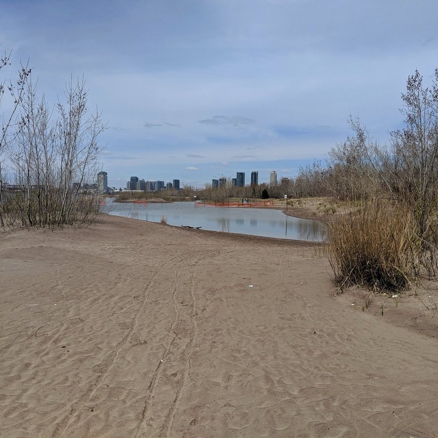
Entering the residential parts on Ward’s Island (technically just the west end of Centre Island, it’s the same connected landmass, but I’m not asserting anything). Planned to walk along the eastern edge, but the entire area behind the beach is flooded. It’s a wetland!

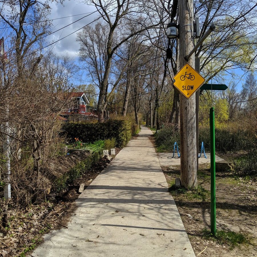


Lakeshore Avenue. Car-free unlike the car sewer of a similar name on the mainland. Tried to follow it to the east rockwall, but thwarted again by high water. Continuing on through the neighbourhood.


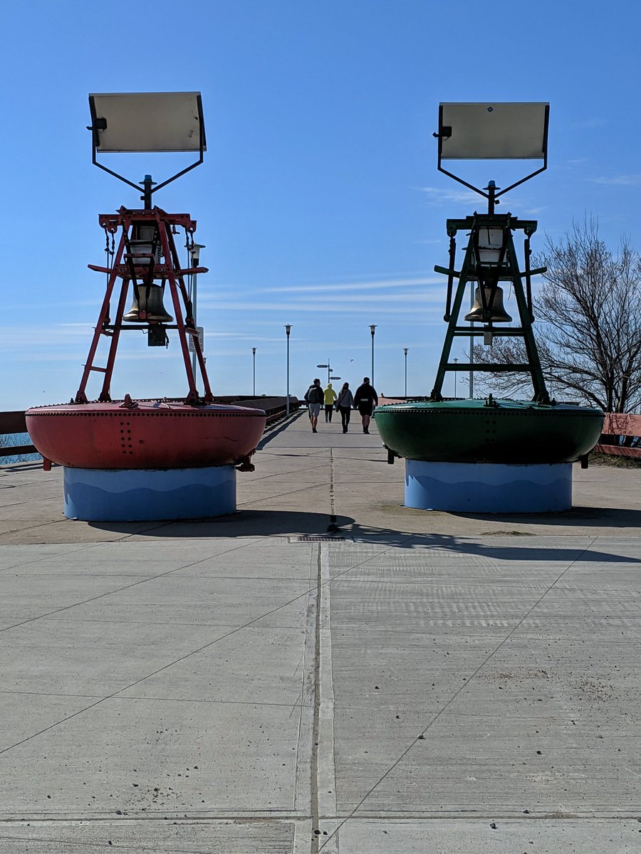
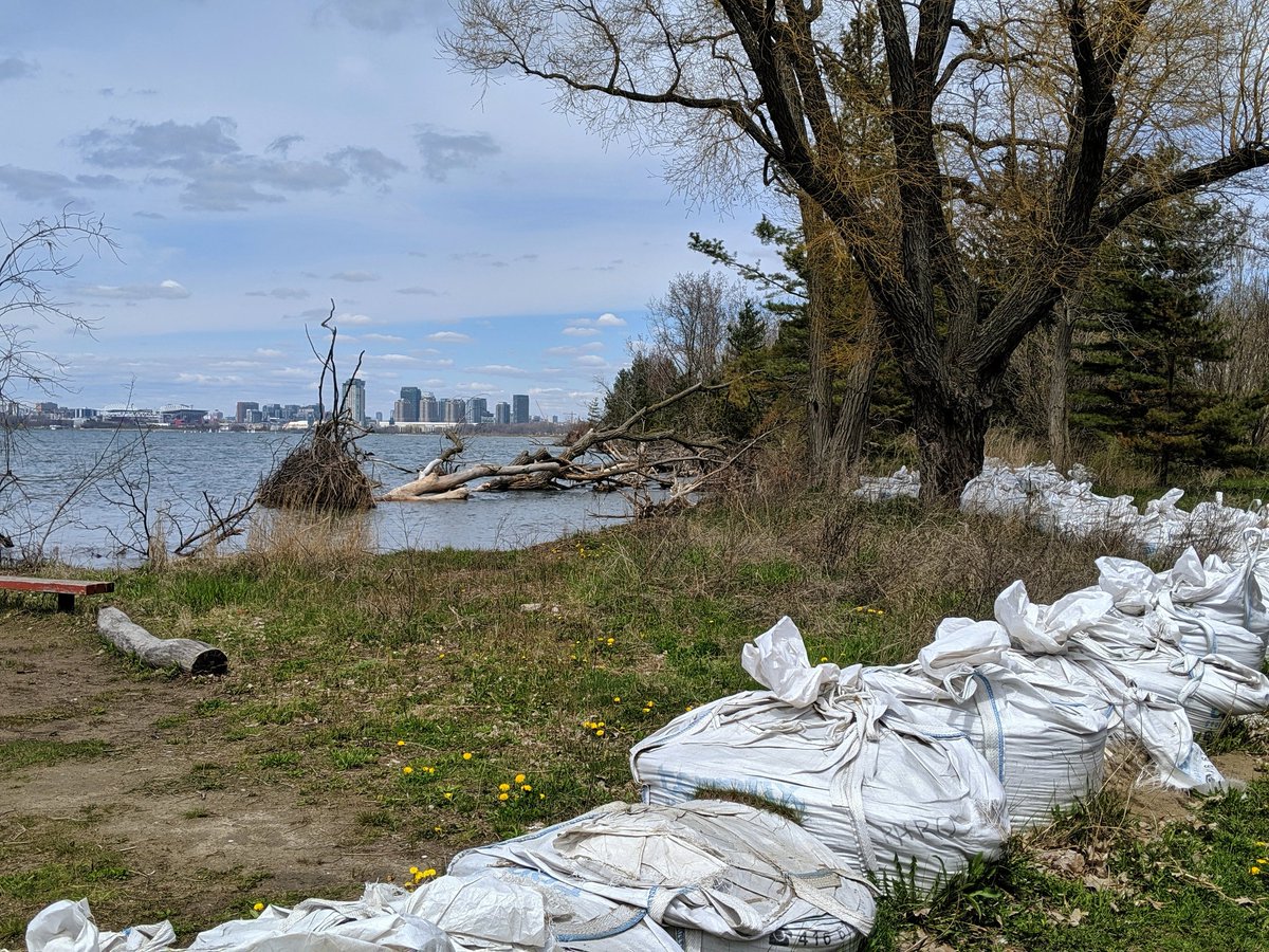
More scenic views towards the Ward’s Island Ferry Dock. Lots of visitors coming off the boat, but also a few residents with supplies. People are sandbagging, it’s a dichotomy to see the Islands preparing for a siege with such nice weather.


Algonquin Island. Pretty streets.


Westward out of the residential parts, and back into the formal park. Next scheduled stop was Snake Island, but I forgot my waders. Stop after that was to be North and South Chippewa Island, but it’s restricted to boat club members. Colonial.

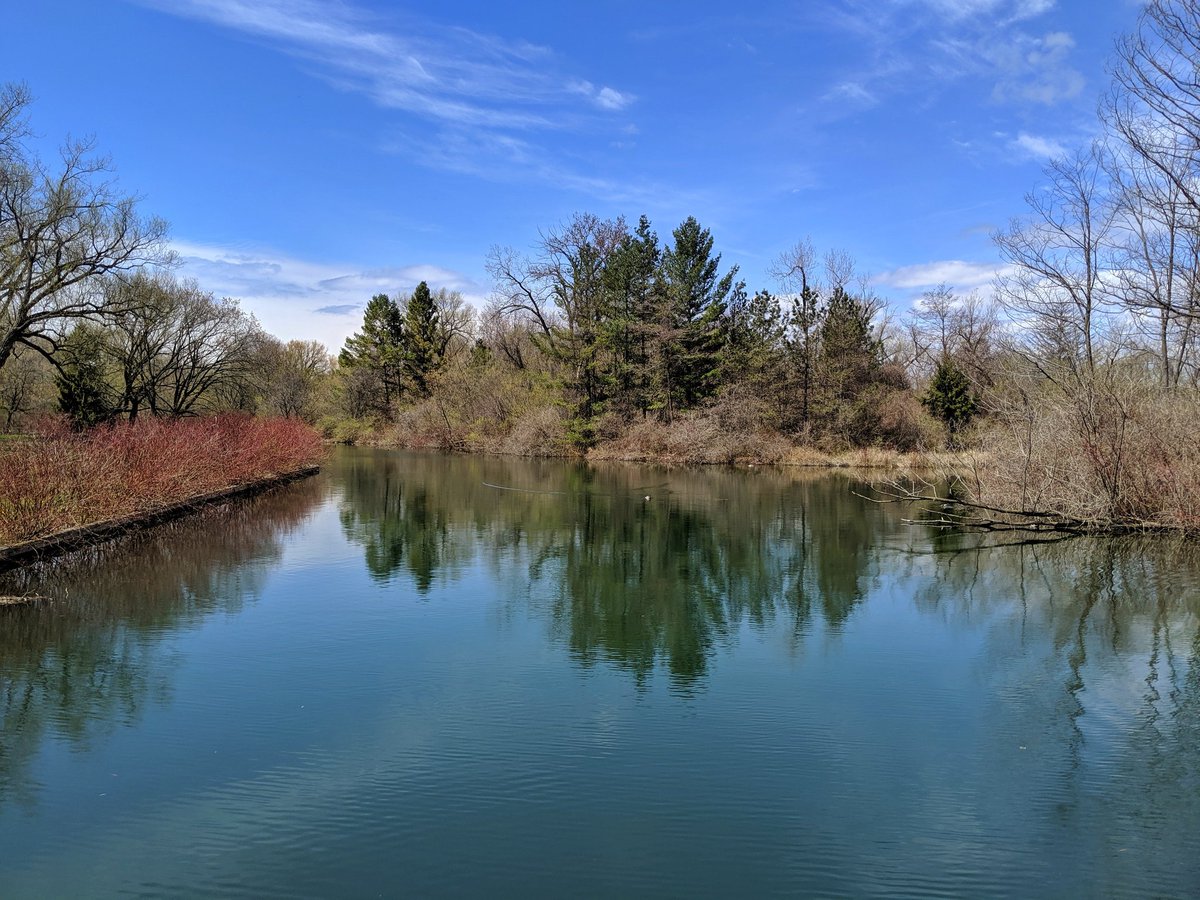
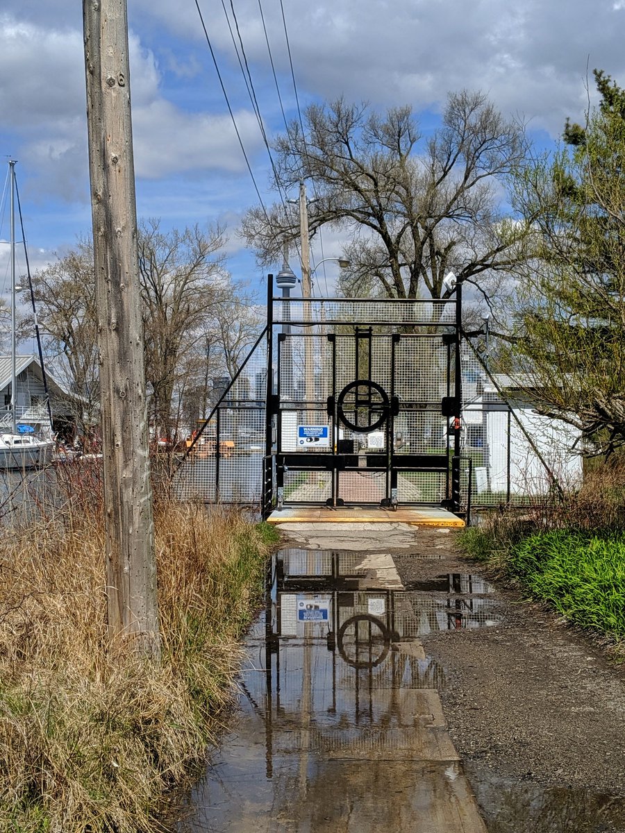
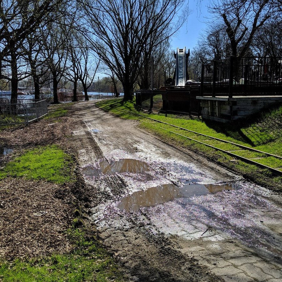
Past the gondola again, and another instance of the lake overflowing the shore. Forestry Island; no link, literally a forest. The water treatment plant is (understandably) a no go area.


Back to Lakeshore Avenue, past Gibraltar Point and it’s dune. Another view of the water treatment plant.


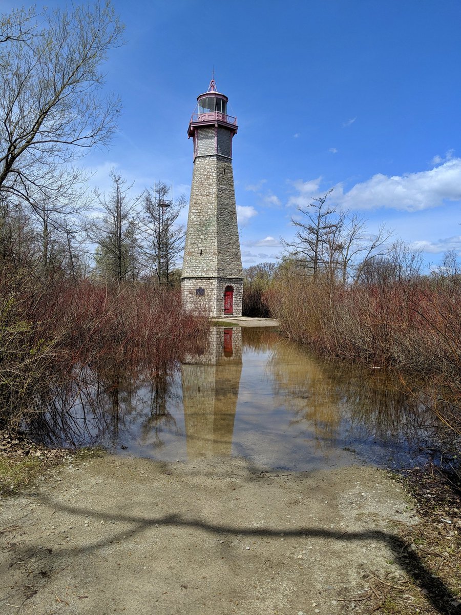
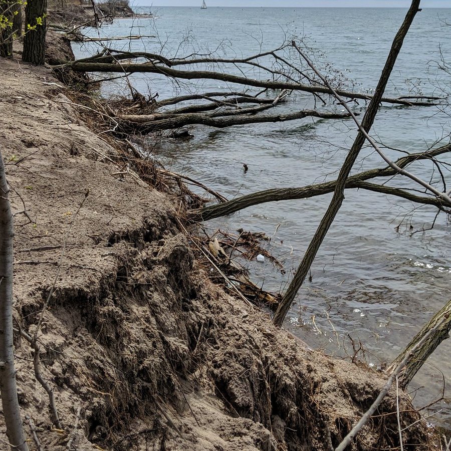
Gilbralter Point Lighthouse is surrounded by water. Hanlan’s Point seems to be looking worse for wear too. Erosion from the high lake levels and waves seems to be apparent, and city crews are on hand sandbagging and pumping water.


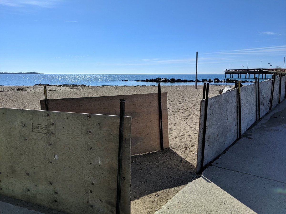
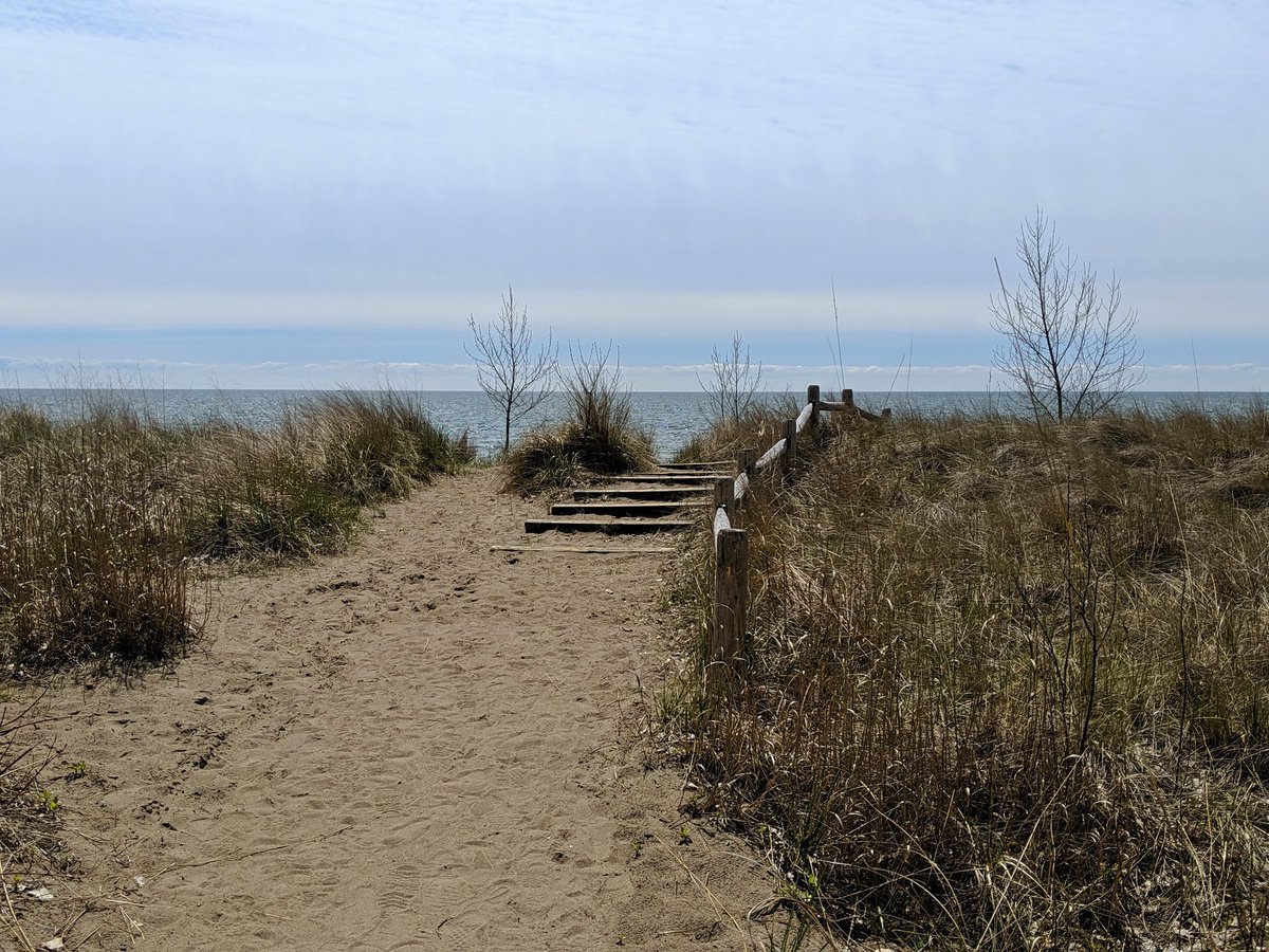
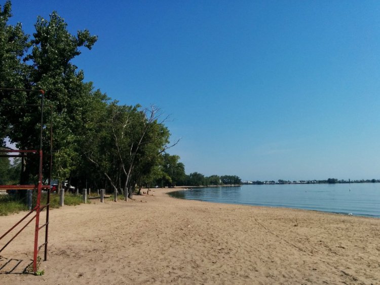
The south side of Hanlan’s Beach is closed. What beach? Much of it has been stripped away, and the shoreline is going with it. A small area of beach remains (for now) in the middle, and the north part is underwater.


Dunes are still in good shape. Back to Lakeshore Avenue, and north to Hanlan’s ferry dock.


Date: May 11, 2019
Length: 14.0 km
Type: Shoreline

Related Walks

Shoreline across the harbour
Shoreline III
Harbour shoreline to the east
Leslie Headland
Peninsula park to the east
Leslie Spit
Shoreline and islands to the west
Ontario Place