Good morning. Today I’m going to be walking the perimeter of the Leslie Spit. Starting down the long road from Leslie Street at Unwin Ave. Expected it to be deserted, but there’s lots of people. Hikers, joggers, bikers, birders.


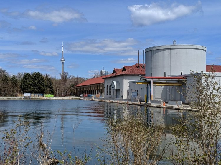
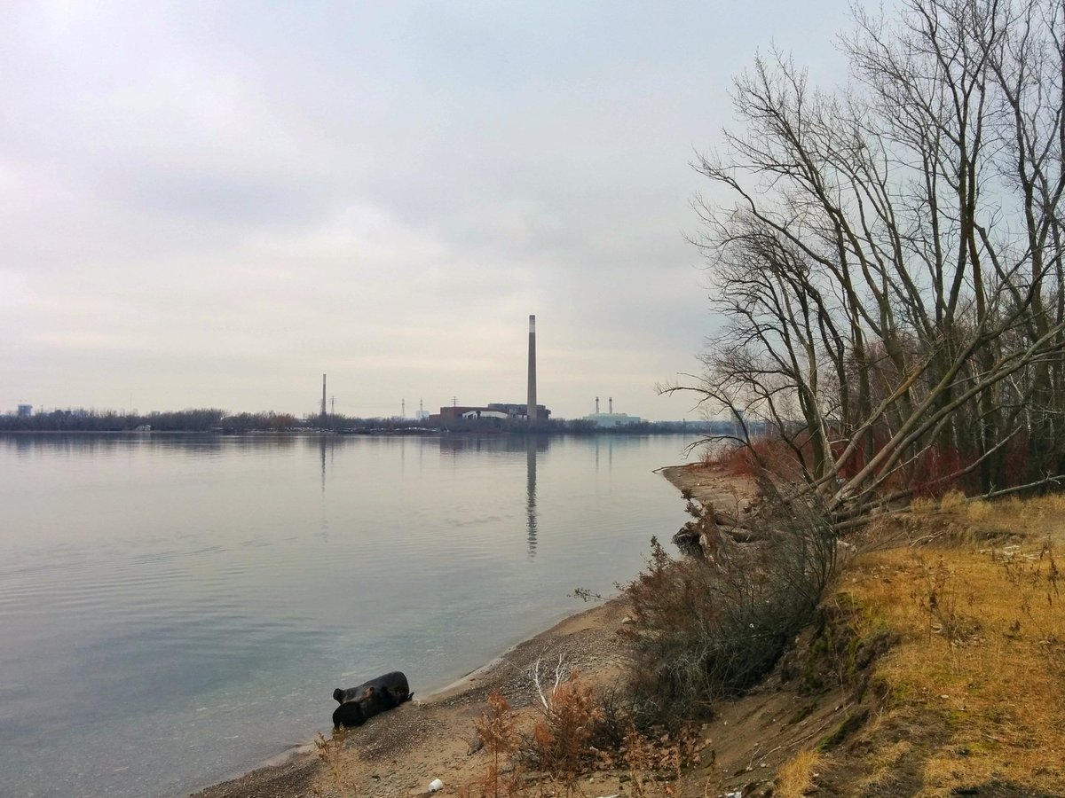
Deserted docks on the laminar Outer Harbour. I continue down the road a bit before taking a trail to the north shore.

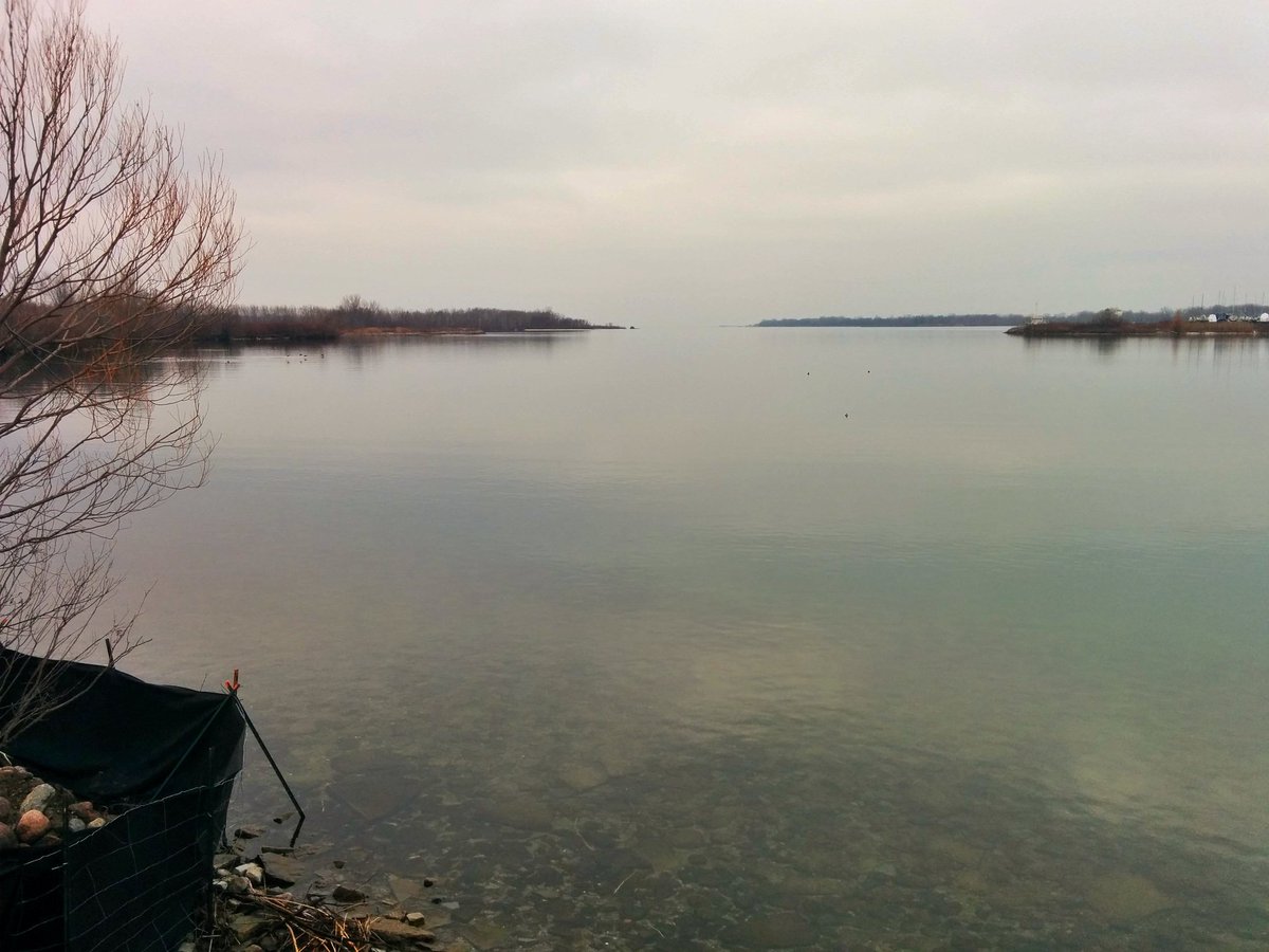


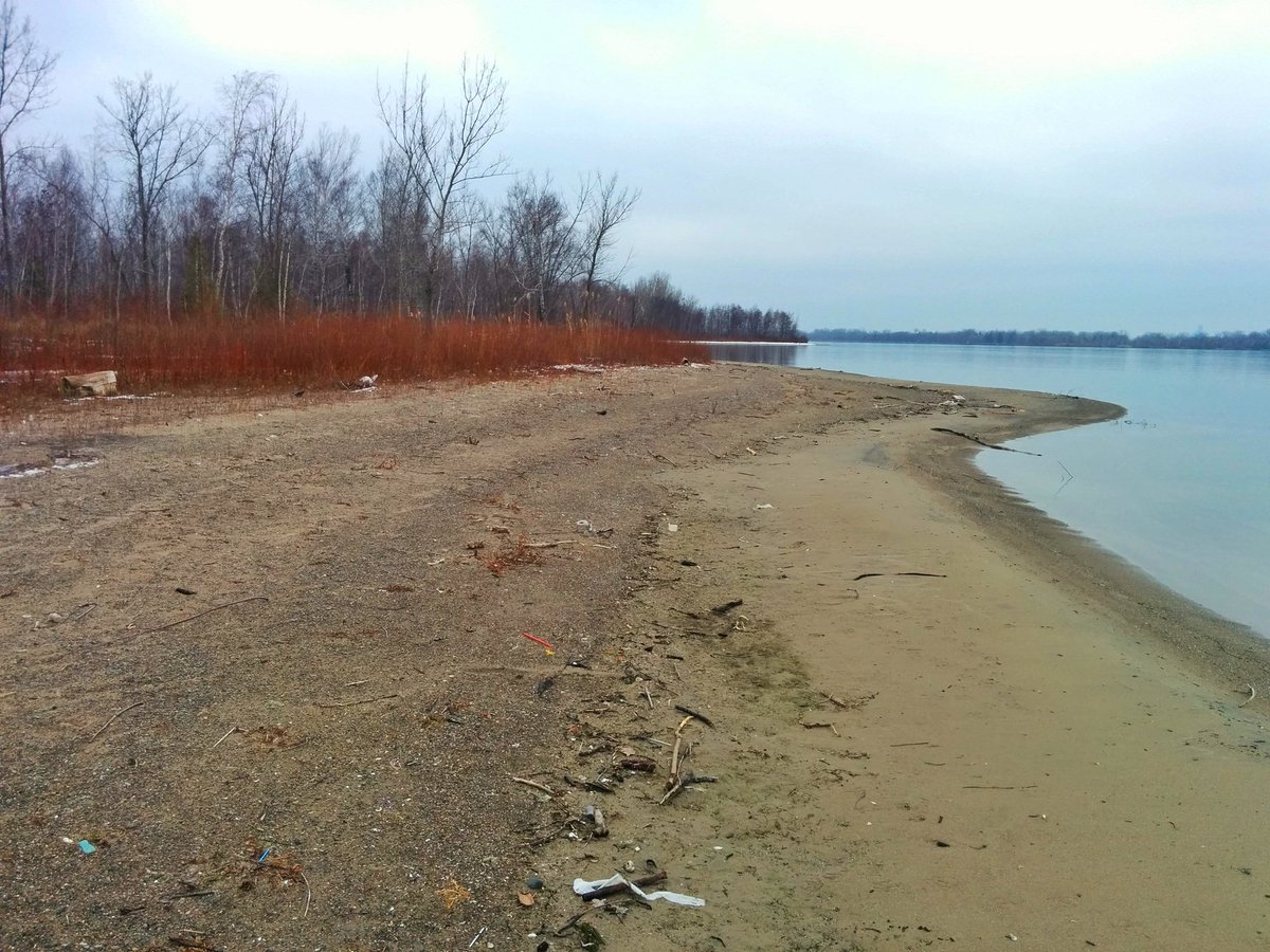
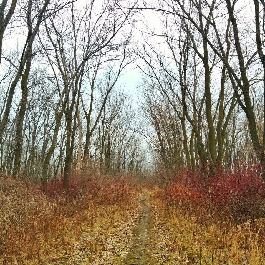
Inlets, sandy beaches. A muddy maintenance road turns into a lovely gravel bike trail.
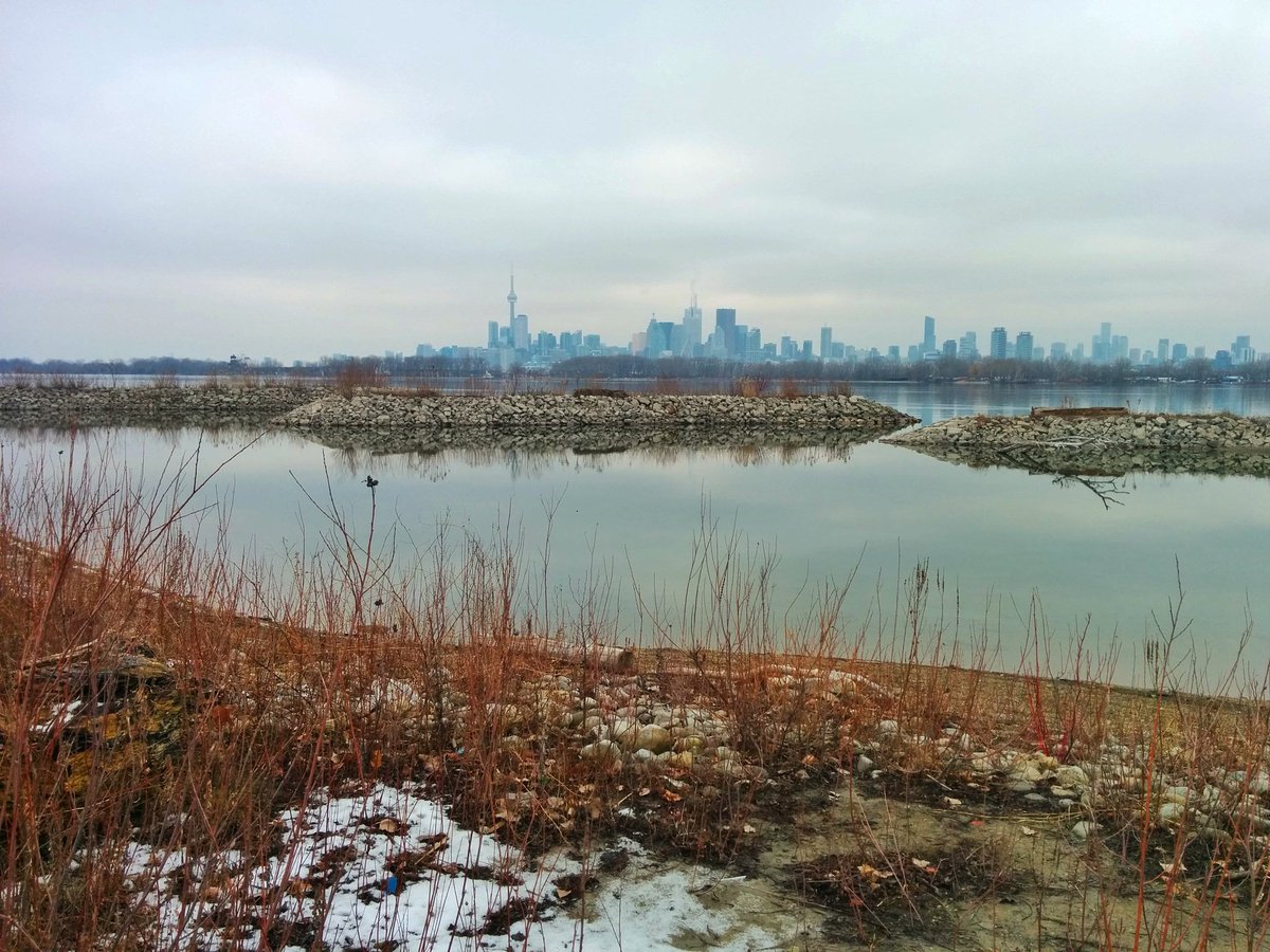
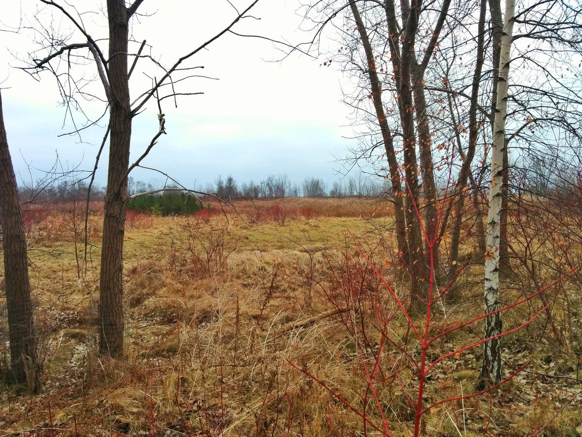
To the end of a spit finger. Then tree tunnels back to the main road. First glimpse of the cells of the south shore.


Across the creaky plywood bridge, and down the straight and narrow. To think this was to be an industrial harbour, and is partly an active dumping ground for dredged harbour material, and here it stands as a quiet park and bird sanctuary. What a happy accident.


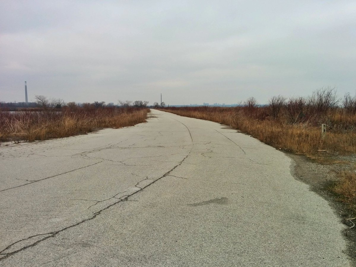
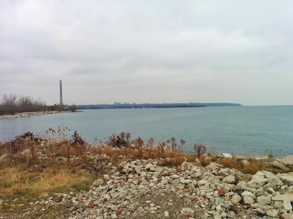
The bend in the road tells you you’re close to the end. The characteristic junk fill shores appear. This is the most southern point of Toronto, east of the Humber at least.


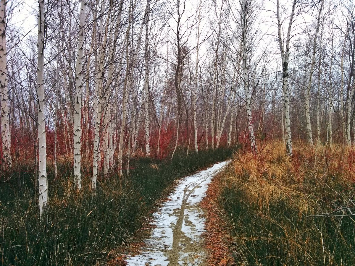
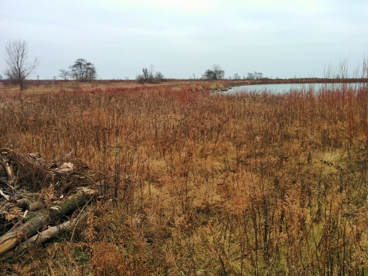
Due east, away from the main road. Red and yellow brickdust trails. Leads to the southeast leg.


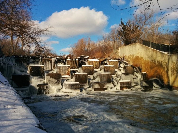
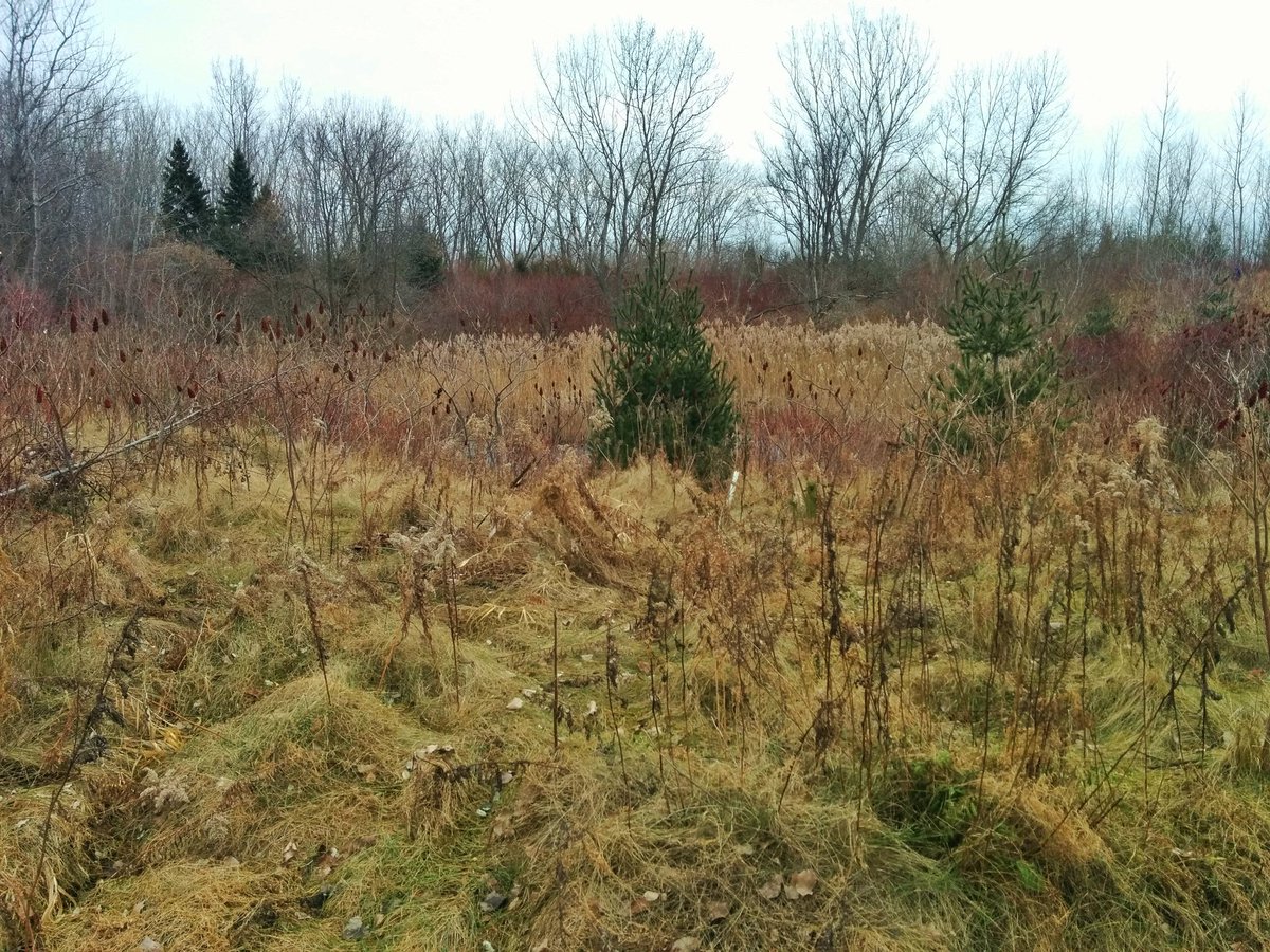
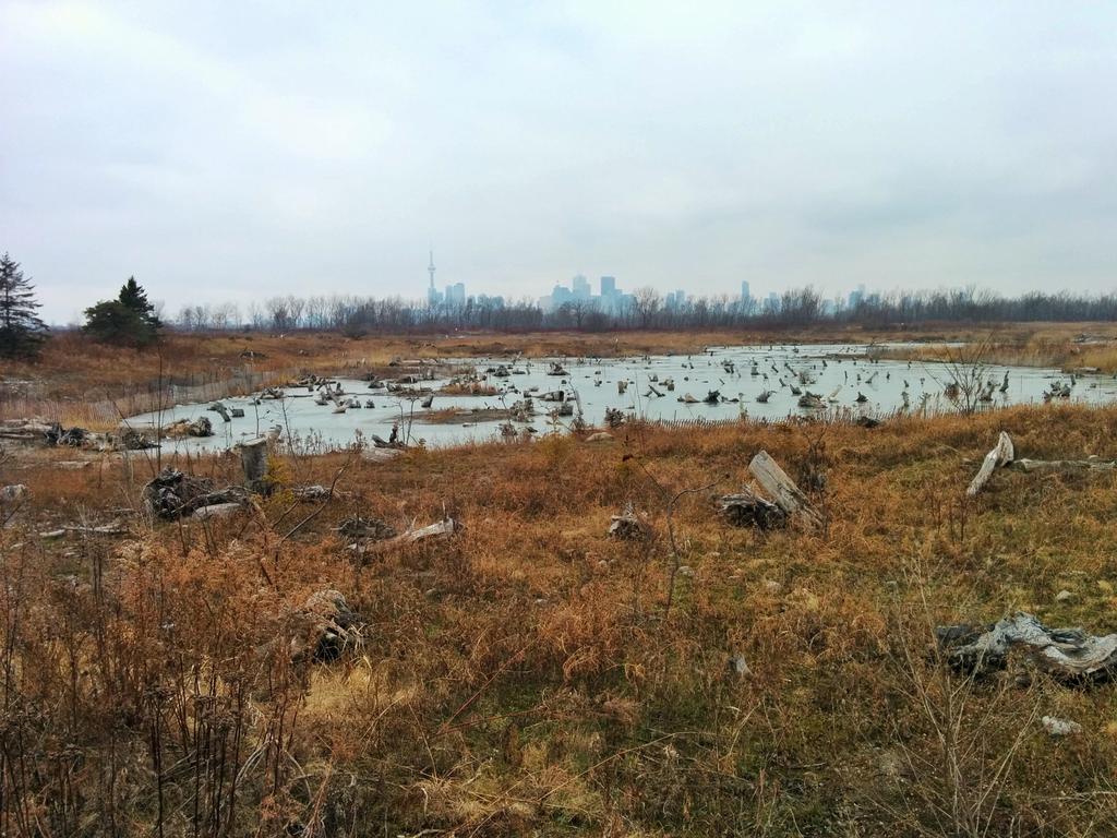
Stump ponds. Slowly but surely, these trashy looking cells are being made into wildlife habitat.


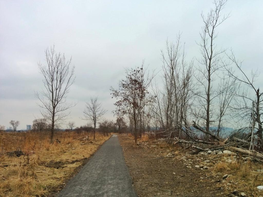
From the wetlands, back to the spit spine. A nice gravel trail offers an alternative to the hard road.


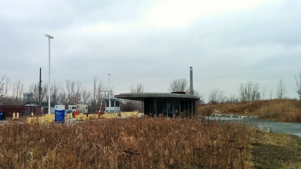
Past the gatehouse, and back up the road.

Date: January 5, 2019
Length: 15.4 km
Type: Shoreline

Related Walks

Upper headland and shoreline east and west
Leslie Headland
The other outer shoreline
The Islands