A little over a month ago, I walked the lower reaches of West Highland Creek’s Dorset Branch. Today, I’ll be checking out its tributaries. After Scarborough was developed, three of these tributaries used to flow from what appears to be a ditch paralleling what is now the GO Lakeshore East line. I don’t understand it 100%, just going off of historical aerial photos from the 50’s, but a first hand look may help.
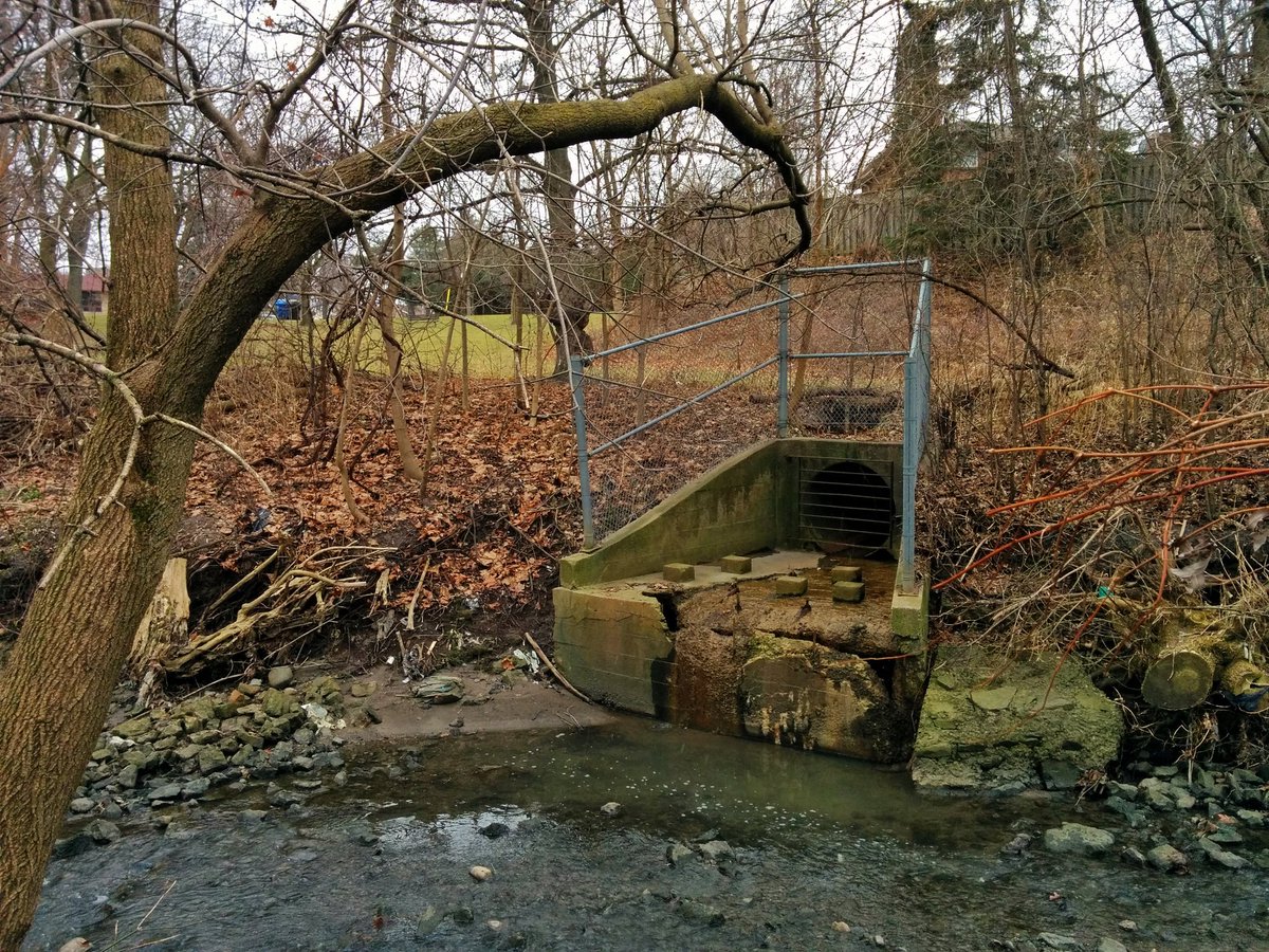
First tributary. It’s been completely obliterated. An outfall is coincidentally located at the former confluence, and some drain covers and hickenbottoms along the way. Otherwise, it’s a long lost river, with flows redirected along street sewers decades ago.


This ditch and stormwater management pond adjacent to Midland Ave may be remnants of where waters from the former rail lands flowed into this first tributary.
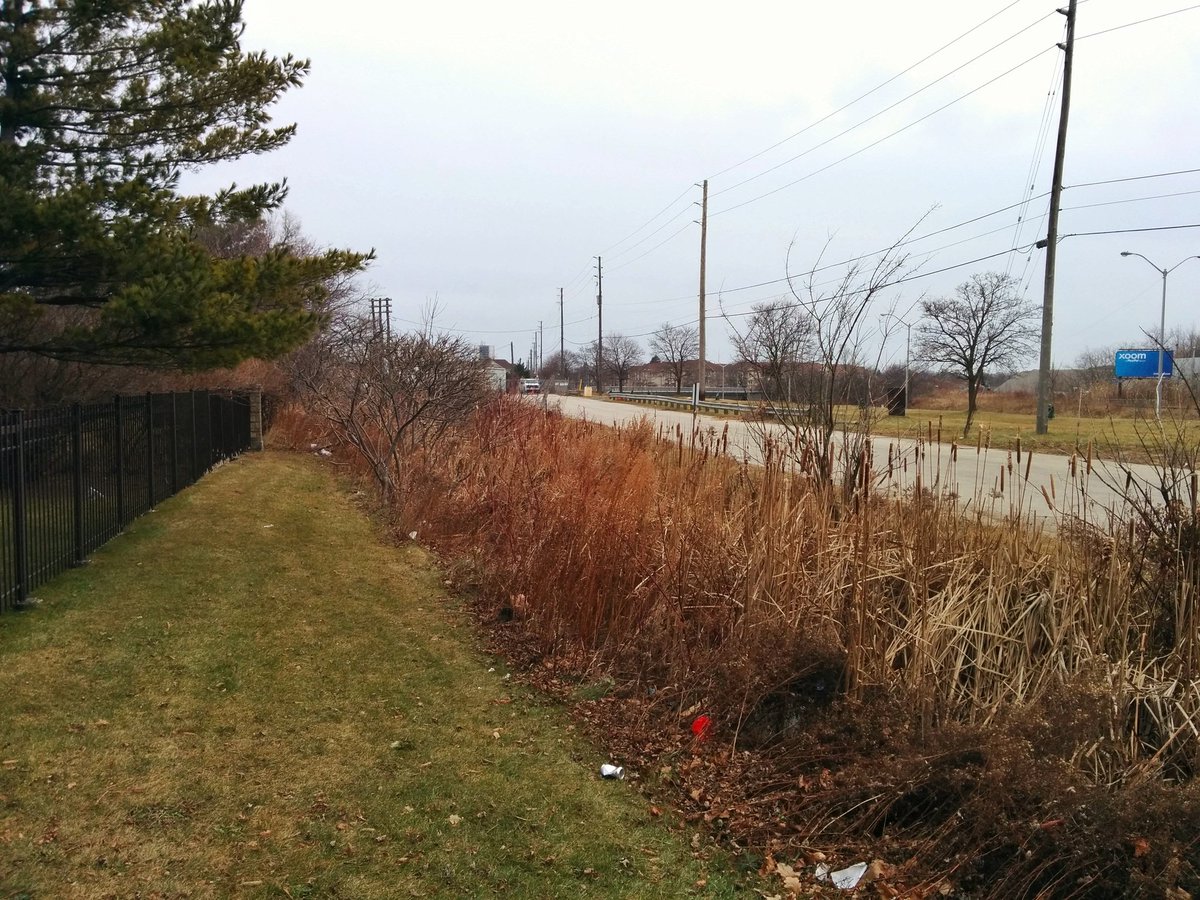

Now we enter the former railway lands south of the mainline. No sign of a ditch however. It’s more of a scrubland. I faintly recall walking here, long ago, when I first moved to Toronto.

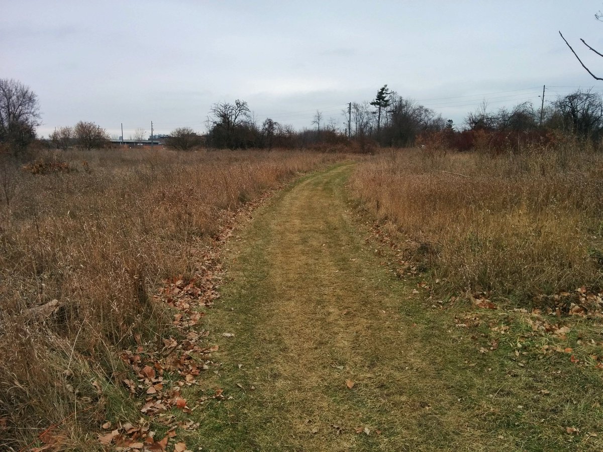

At McCowan District Park, some more stormwater management ponds around a nice skating facility. There is a ditch in the back, but seems to be flowing towards McCowan Road instead of northwest, where a second tributary is supposed to begin. We’ll come back to that later.


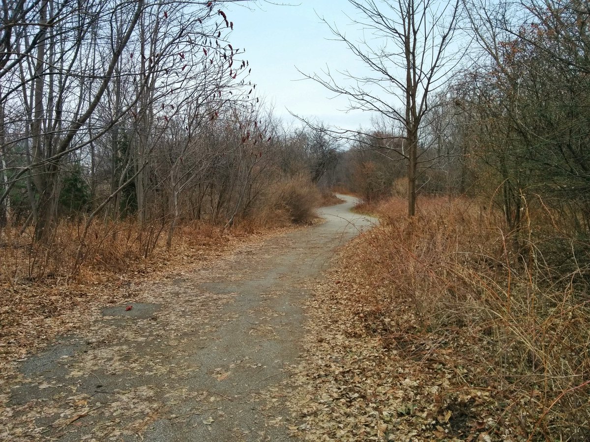
East of McCowan Road, it’s hard to tell, but the old railway lands ditch seems to appear. This is definitely it in the last picture, just behind the platform at Eglinton GO, but the flow direction is still lost on me.


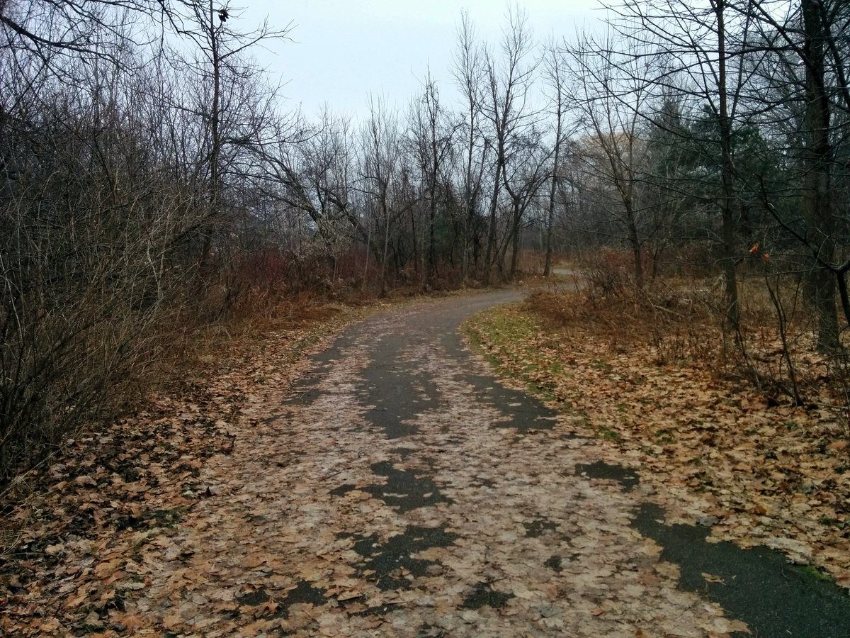
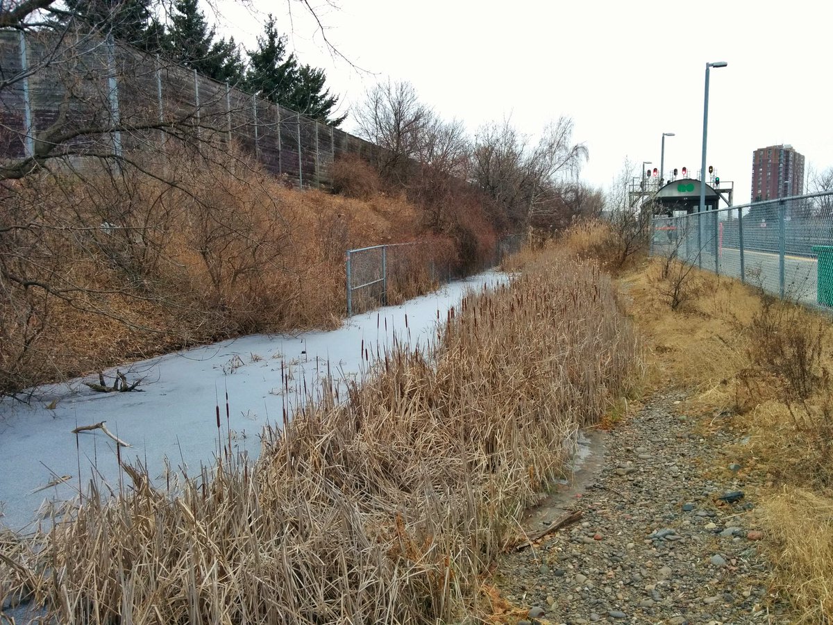
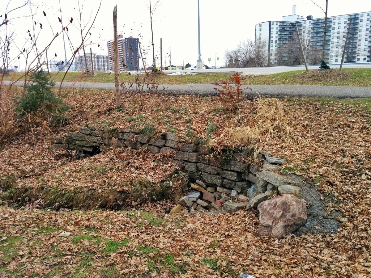
Walking around the parking lot of Eglinton GO, there’s ditches going in every direction. I’m pretty sure this brick rubble represents where the third tributary used to go northwest back to the Dorset Branch from the railway lands ditch.


Okay, back to the second tributary, west of McCowan Road, and north of the GO Lakeshore East line. This ditch is in the middle of the Barbados Boulevard loop. I’m not sure is any of this is from south of the rail corridor, it may just be runoff from adjacent properties.

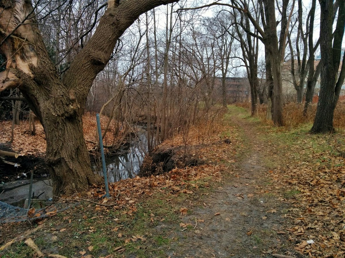
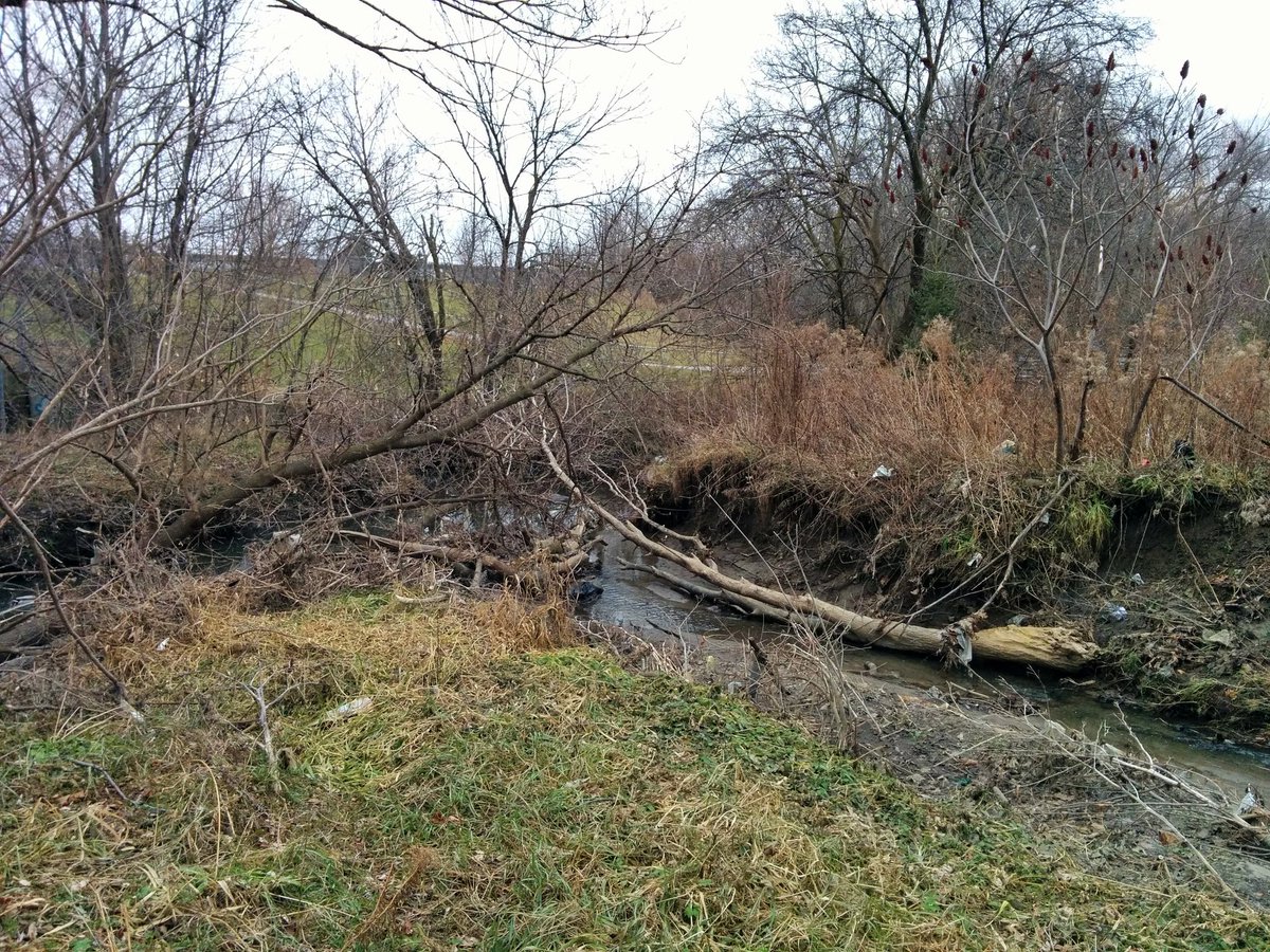
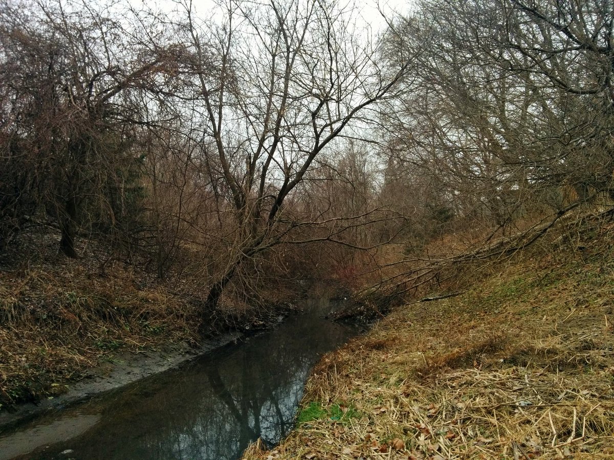
This second tributary is buried for a block, and then reappears. Unlike the first tributary, it lives on, albeit littered and eroded. A flashy trashy cut. It meets the Dorset Branch in Knob Hill Park.


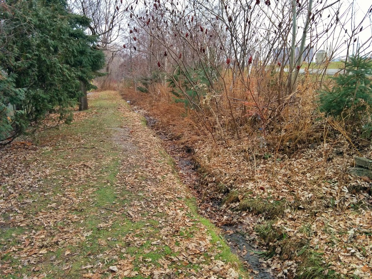
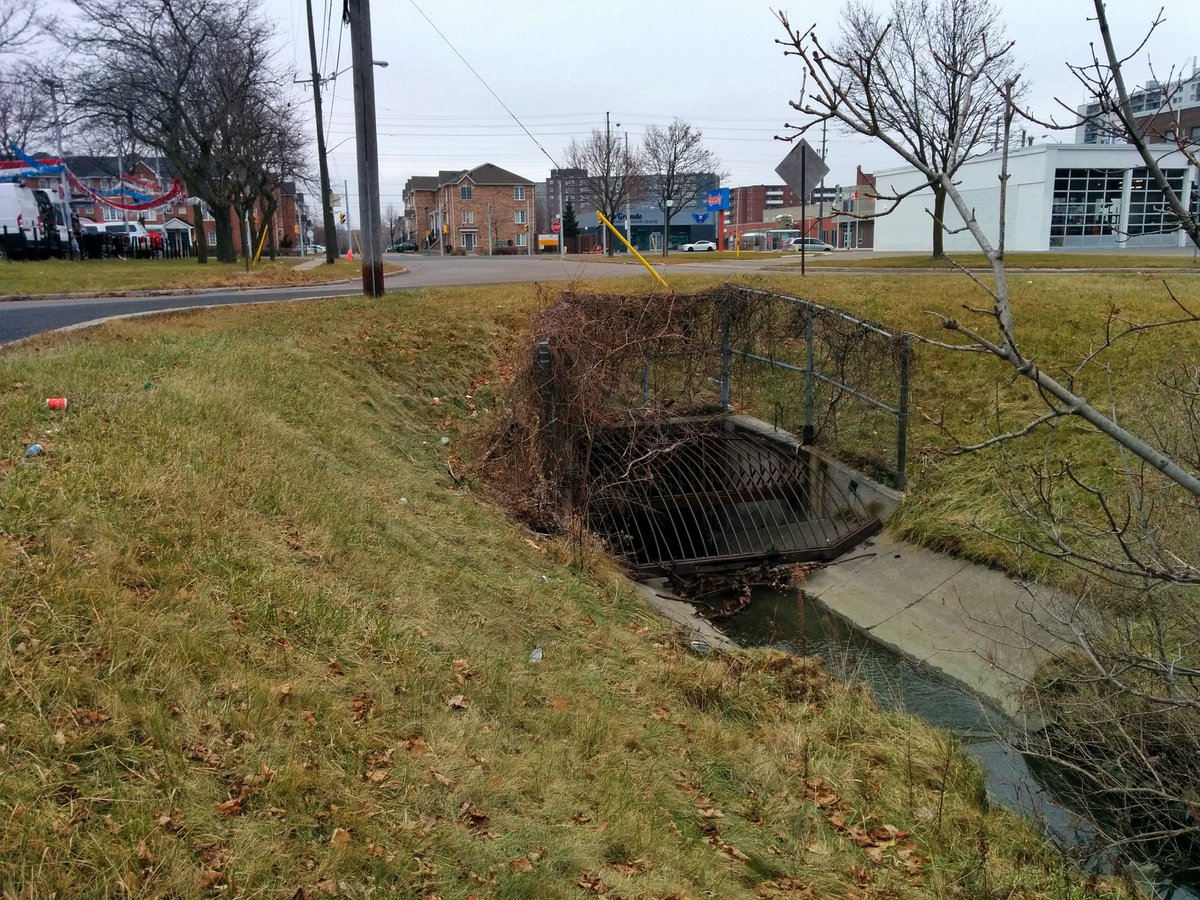
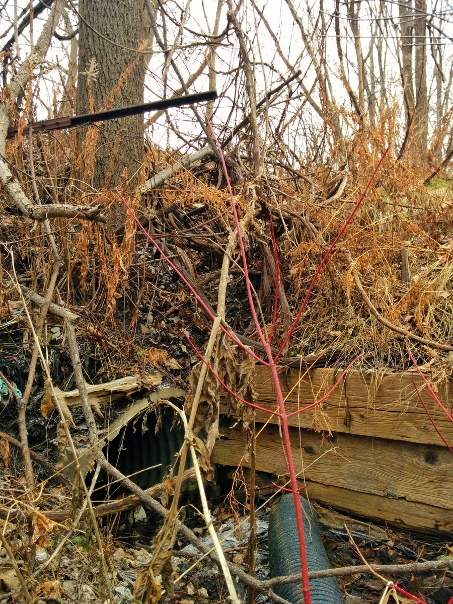
The third tributary’s confluence with the Dorset Branch was northwest of John McCrae PS. Like the first tributary, it’s just an outfall from local sewers, and the rest of it is lost. A strip of city land still exists south of Providence St, but is encroached on by backyards.


K, gonna squeeze in one last tributary before I lose the light. This actually goes to the main branch of West Highland Creek, not the Dorset Branch. It starts here in a vacant patch of land west of Markham Road. It builds quickly before ducking under the GO Lakeshore East line.


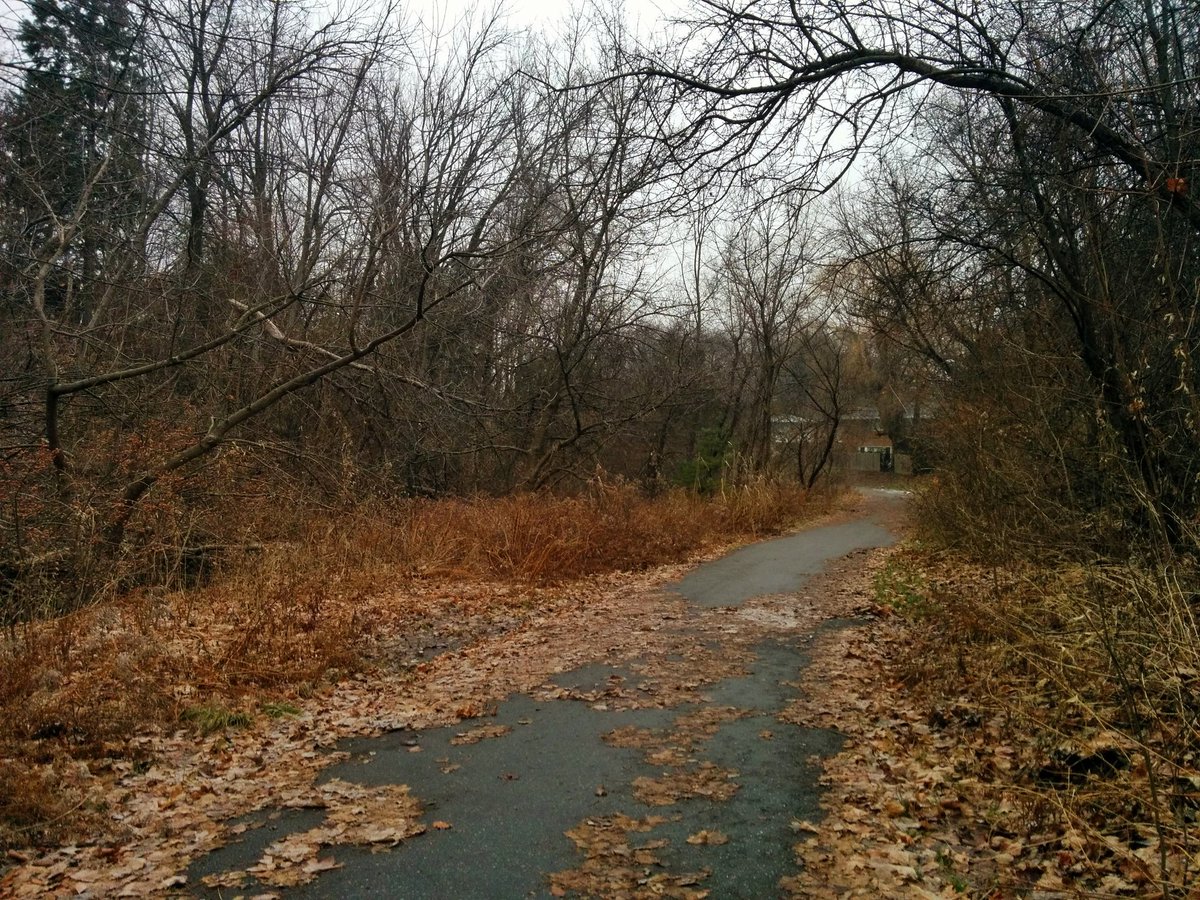
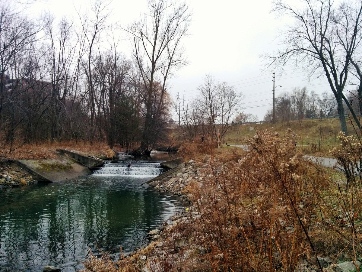
Just like the second, this tributary is buried for a couple blocks, then reappears. The ravine is pretty good too. A couple steep berms to cross, but formal trail exists north of Cedargrove Park. It meets West Highland Creek in Cedar Brook Park (maybe that’s the name?).


Back up West Highland Creek to Lawrence and McCowan. Started and ended a half dozen walks here, it’s like I gravitate towards it.
Date: December 23, 2018
Length: 20.2 km
Type: Riverine

Related Walks

West Highland Creek and Dorset Branch along the confluences
West Highland II
Railway mainline southwest of the former tributary headwaters
Kingston Sub


West Highland Creek upstream of the Dorset Branch
West Highland I


