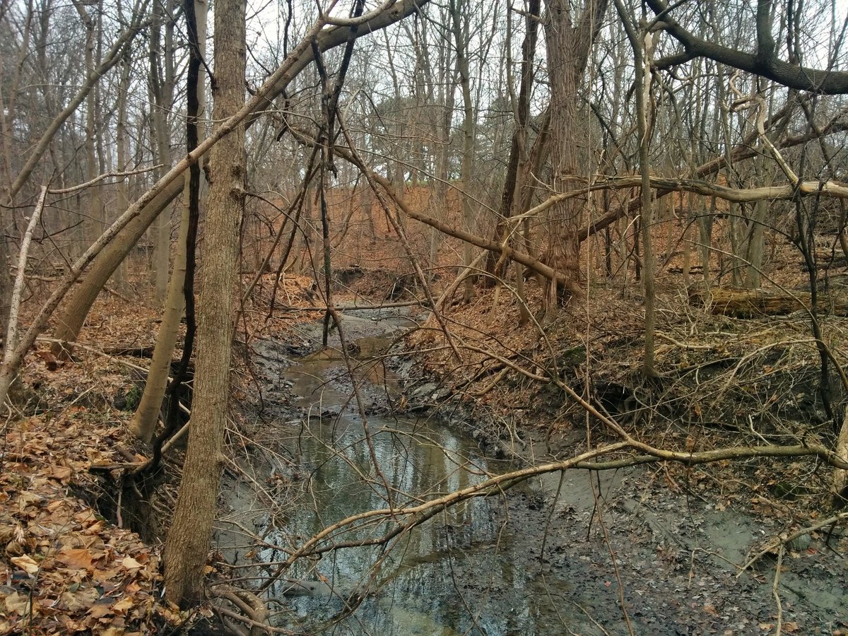
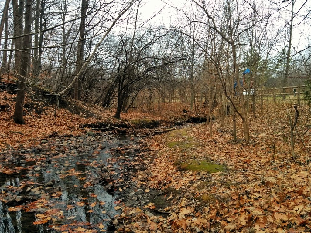
Today’s docket: tributaries of the East Don. The first tributary starts off as nothing more than a depression near Don Mills and Lawrence. Walking along one of Don Mills’ characteristic trail networks, outfalls feed into it, and it quickly becomes a defined stream.
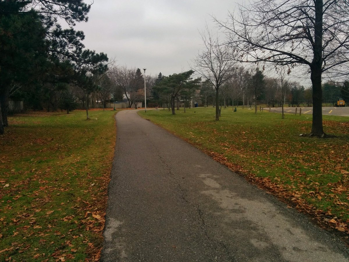

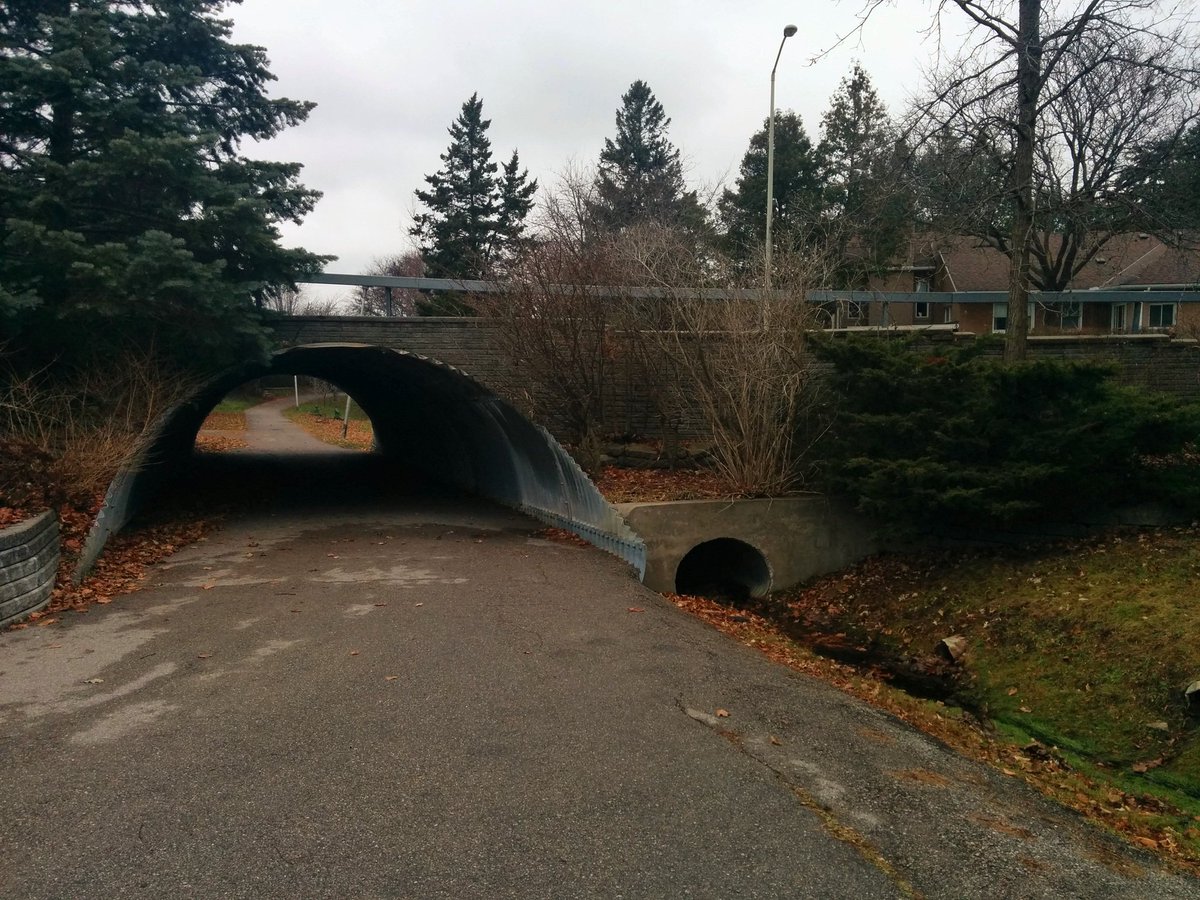

The stream gets buried for a bit, then reemerges on the south side of the GO Richmond Hill line, and then ducks under the tracks to the north side. Don Mills overpass provides a good view, I think it’s also a foamer hotspot.

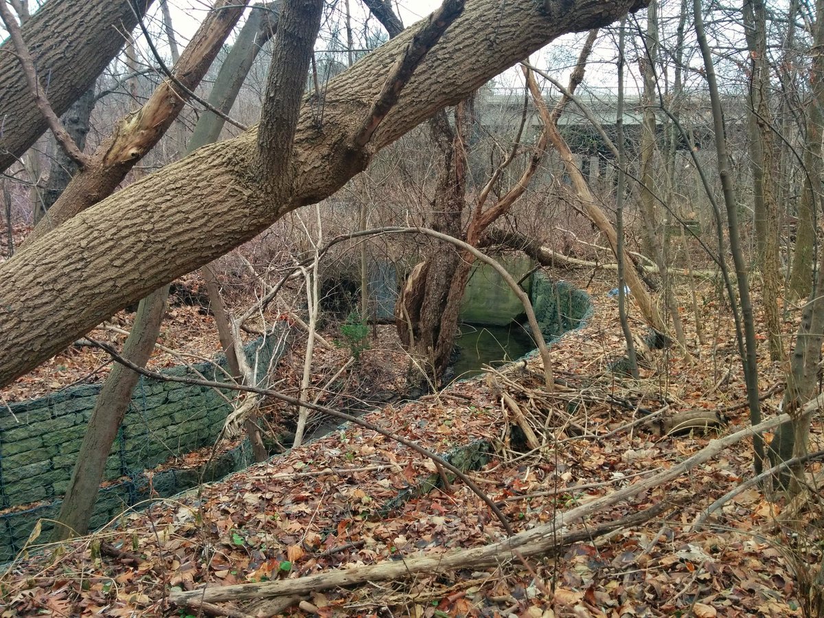


Can’t rejoin the tributary, as Chipping Park is closed for work, nor is there access from Don Mills to the north side of the rail line, it’s fenced off. Then, this segment of the East Don is restricted by a golf course.

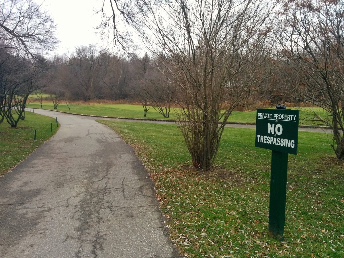
Next tributary in the vicinity is Deerlick Creek. But again, the golf course prohibits me from seeing it’s confluence with the East Don. Only glimpse I can get of it west of the Don Valley Parkway is via a city right-of-way. I’ll have to come back to this one later.

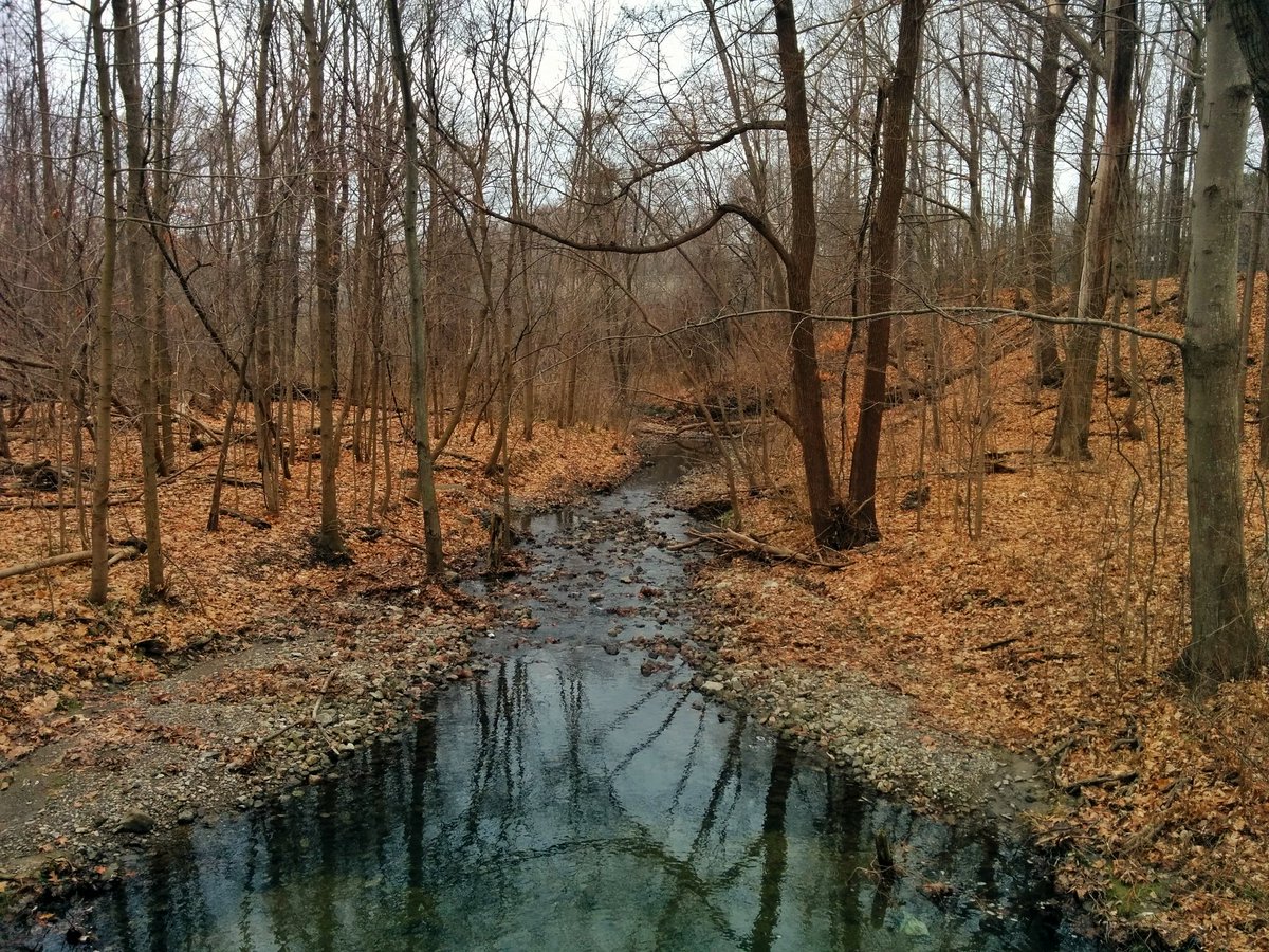
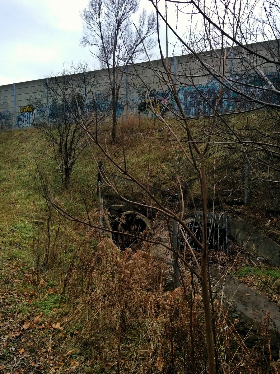
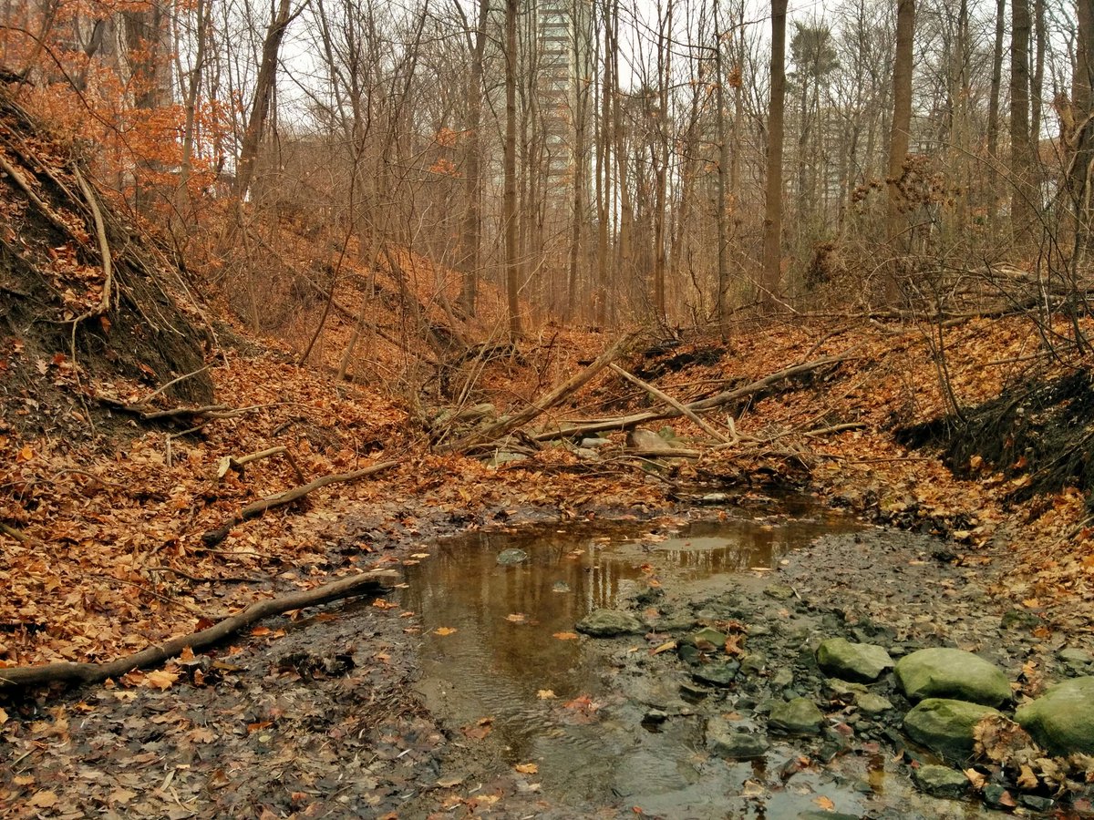
The next tributary is also unnamed (to my knowledge), in Three Valleys Park. Surprisingly, you can follow it back southwest to the golf course, where it goes into a drain and is buried beneath the green. Backtrack a bit northeast.


This tributary shortly hits an outlet and is lost. Local topography suggests it once continued along this parkland to the DVP. Quite a high point here, good view of the city.


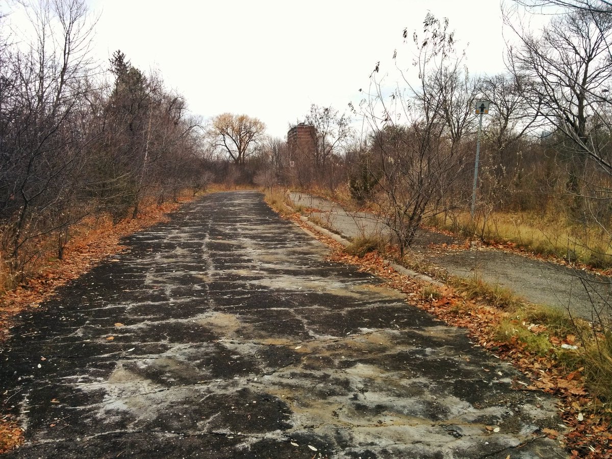
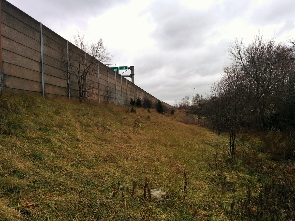
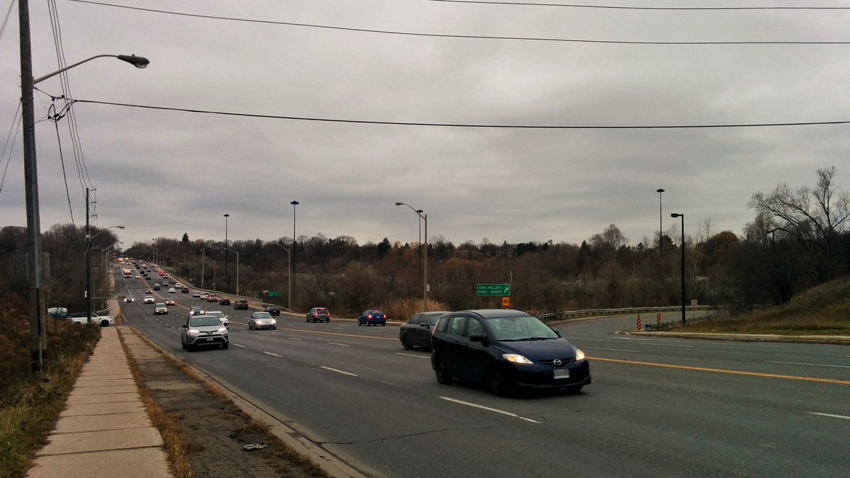
Another small tributary south of York Mills Road. Source seems to be ditches from the DVP. Out of curiosity, I followed one of them to an abandoned onramp. Discovered some accidental parkland.


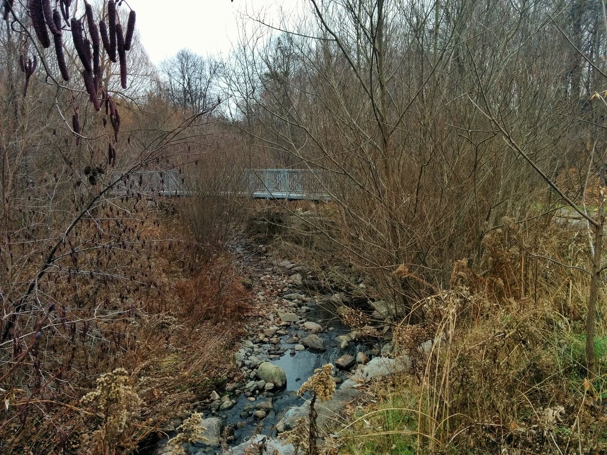
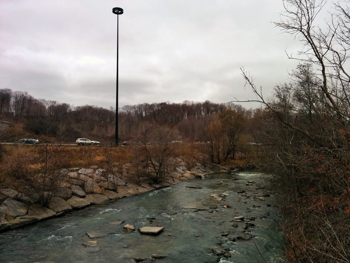
Along the west side of the DVP to Underpass Gate. Now we are at the top end of Deerlick Creek. It used to flow further north, but construction of the 401 changed that.

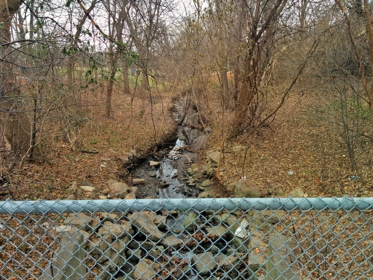
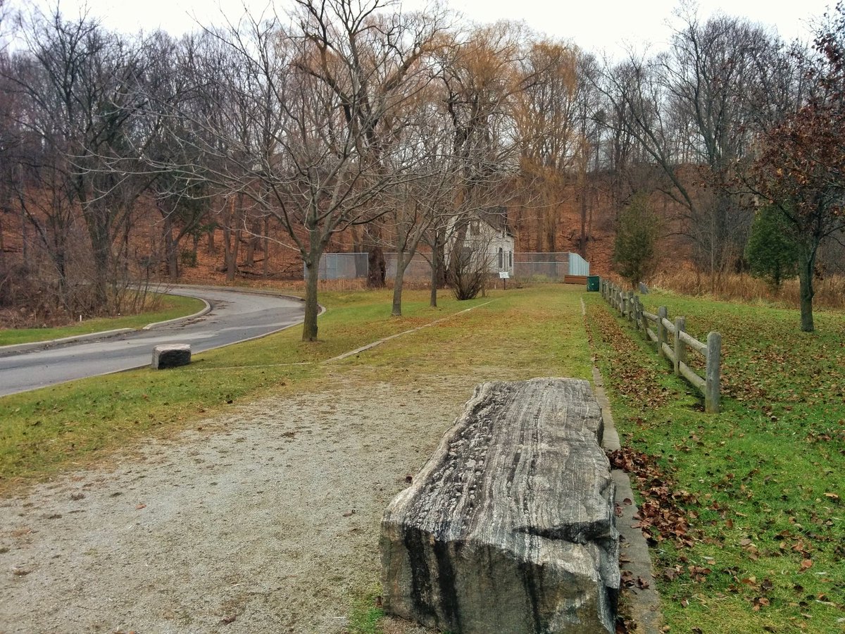
As with the first tributary, lots of ditches and other branches feed into Deerlick Creek, and it grows quickly in size. Excellent trail system along it has been in place for years.

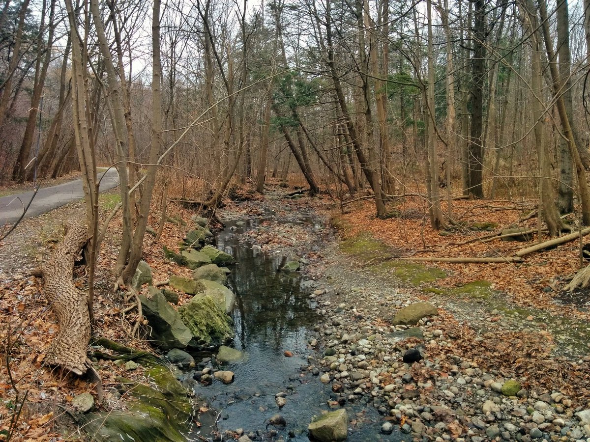
In fact, this parkland system has been in place since it was developed in the 50’s. I remember running around here as a toddler. But it’s still severed at the DVP, and the golf course hogs the other side.

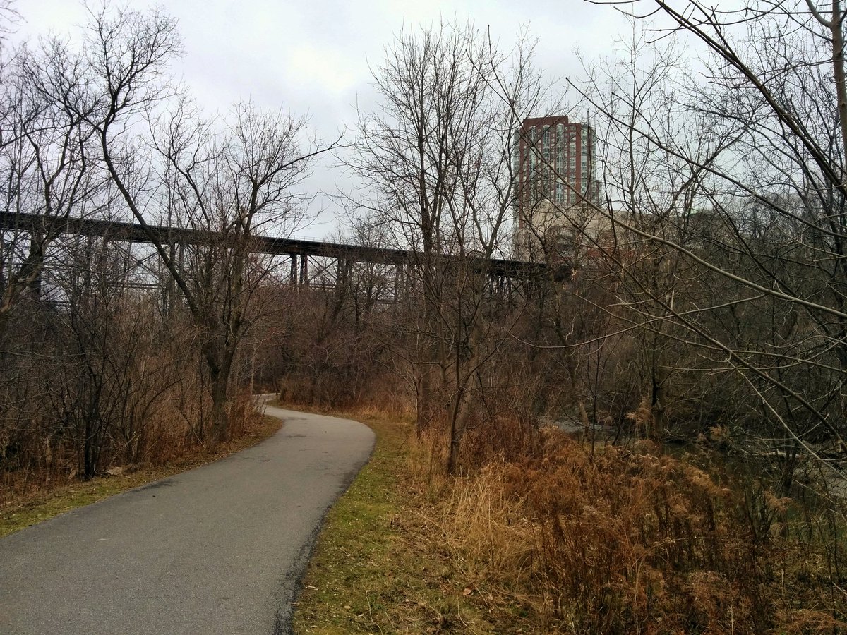
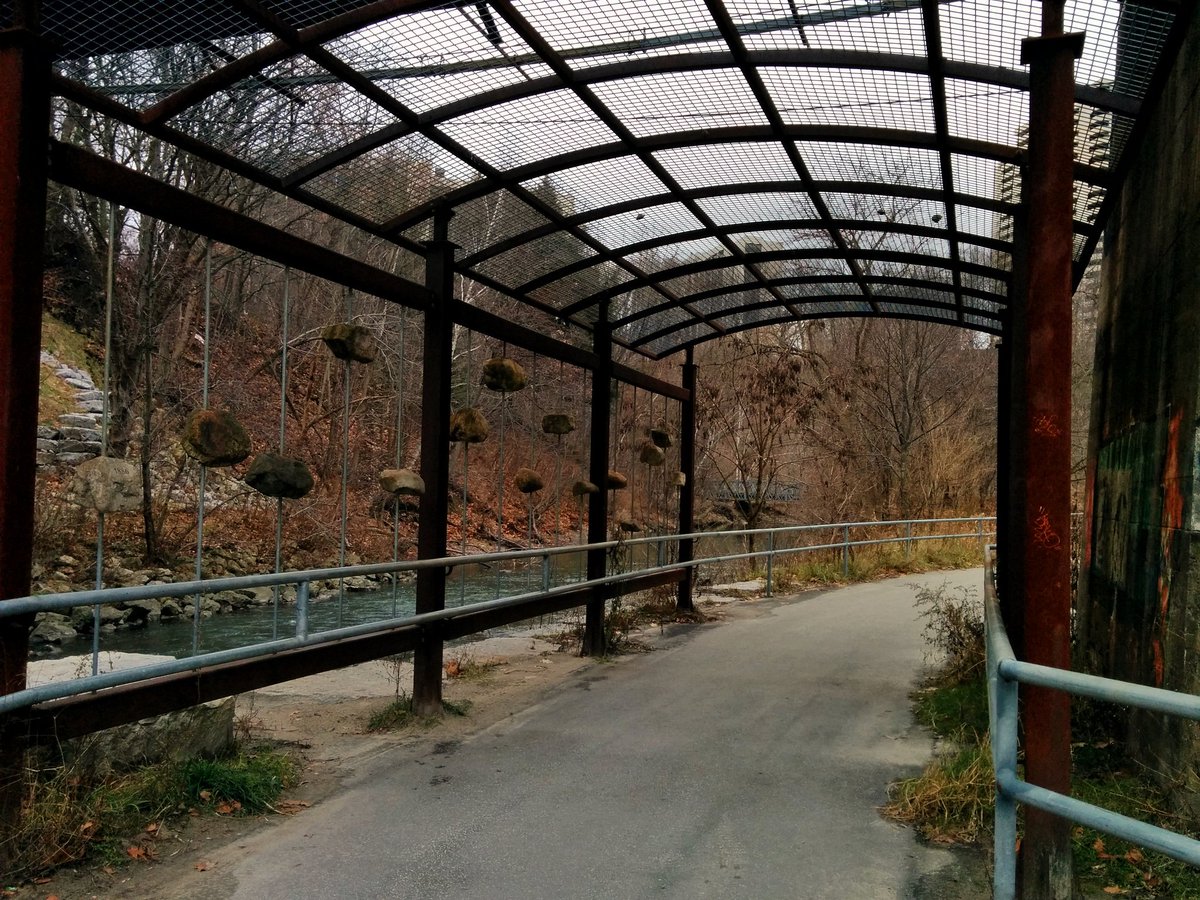
From tributaries to the East Don itself. Another place of childhood memories for me, the East Don Trail.

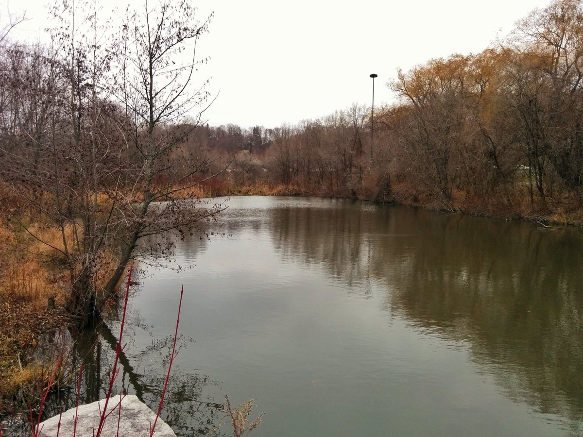
The East Don Trail was my favourite place in my childhood. It’s where I began to love the ravines. We can owe it’s existence to the leadership and philosophy of Charles Sauriol, whom this parkland was named after.

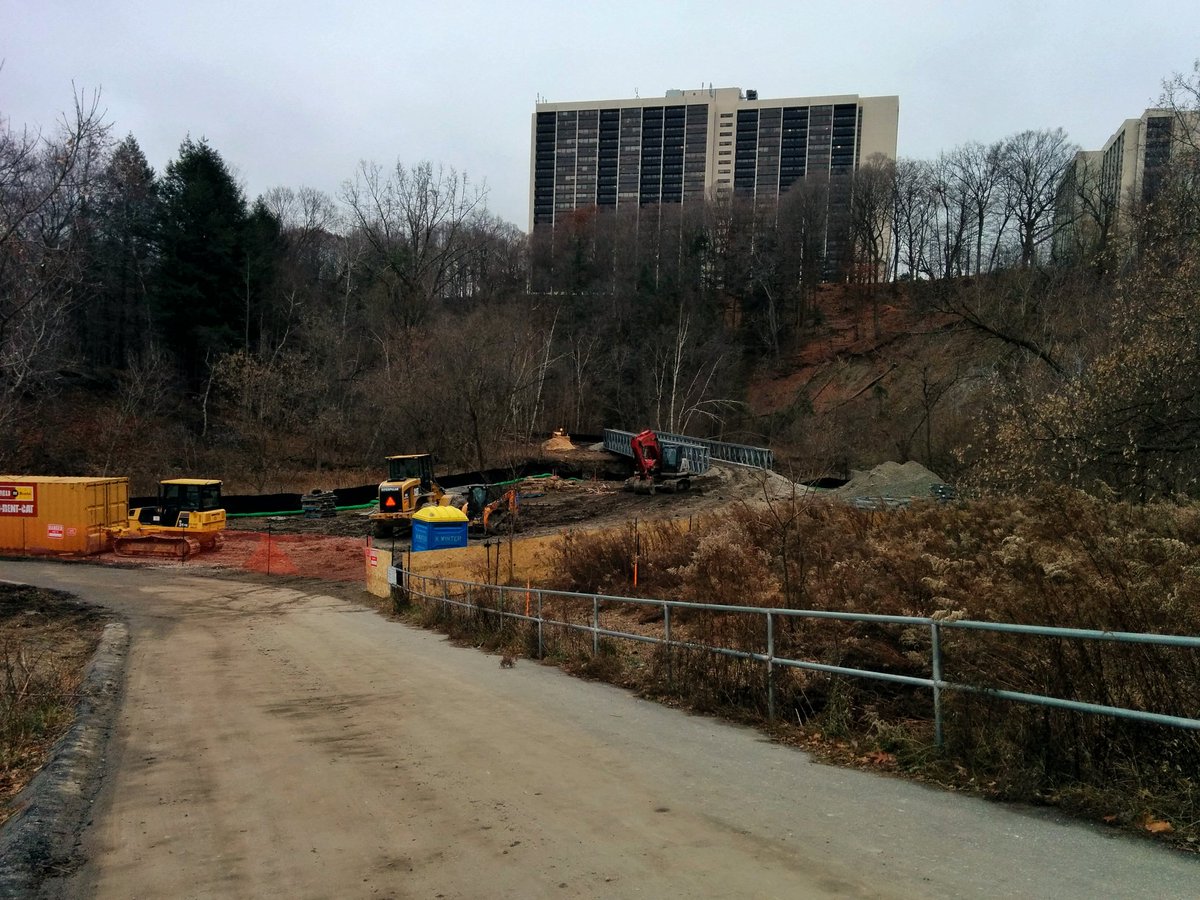
The trail ends at Wynford Drive today, but work is ongoing now to extend it further south. One day it will connect at the Forks of the Don, making a continuous trail from Lawrence to the lake. It will also connect to the Meadoway, making a continuous link to Rouge Park.
One more tributary. Very small, no trail. It surfaces south of Wynford (the east-west segment), east of the DVP. It flows to the north-south segment of Wynford, and then is lost. Another ditch appears to feed into the sewer. It then outfalls to the East Don south of Eglinton.


Date: December 1, 2018
Length: 14.6 km
Type: Riverine

Related Walks
East Don River continued upstream
East Don IV


East Don River continued downstream
East Don and West Meadoway


