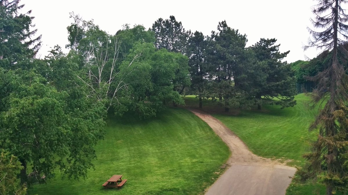
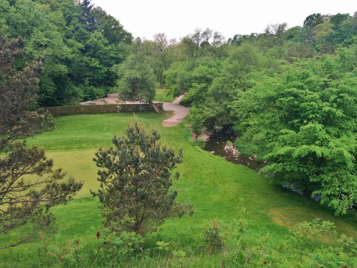
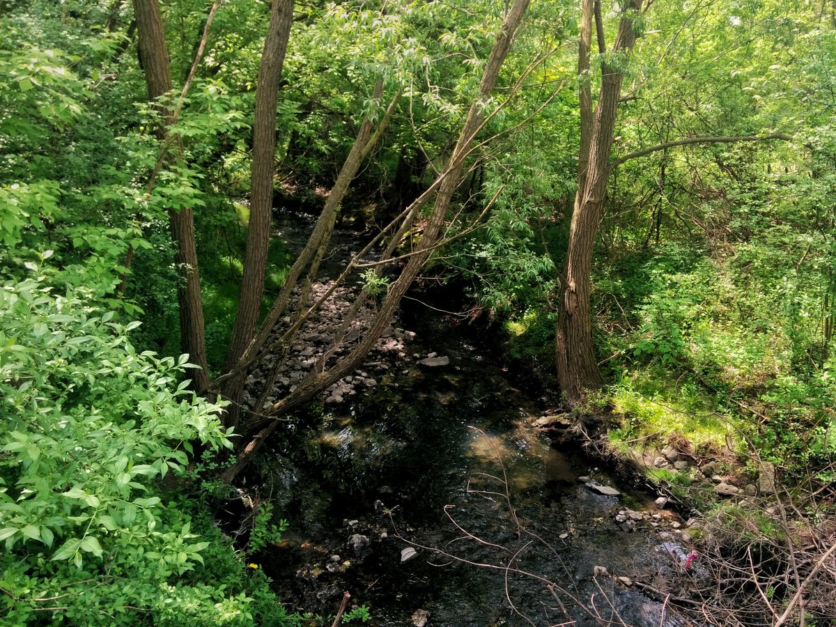
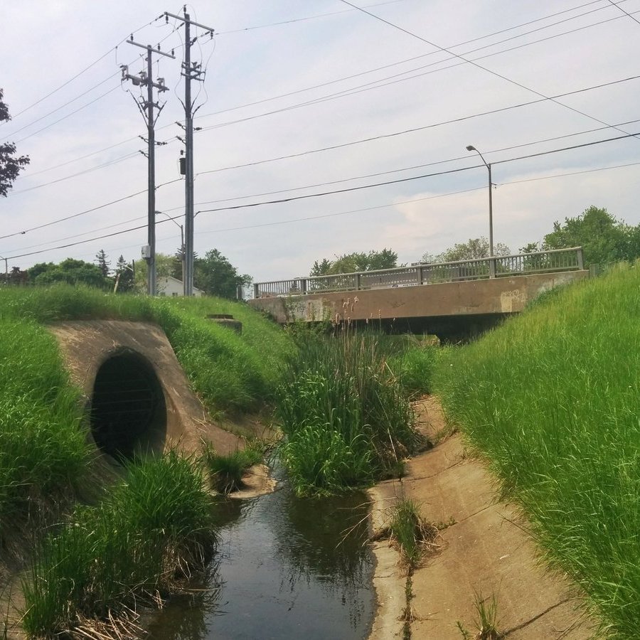
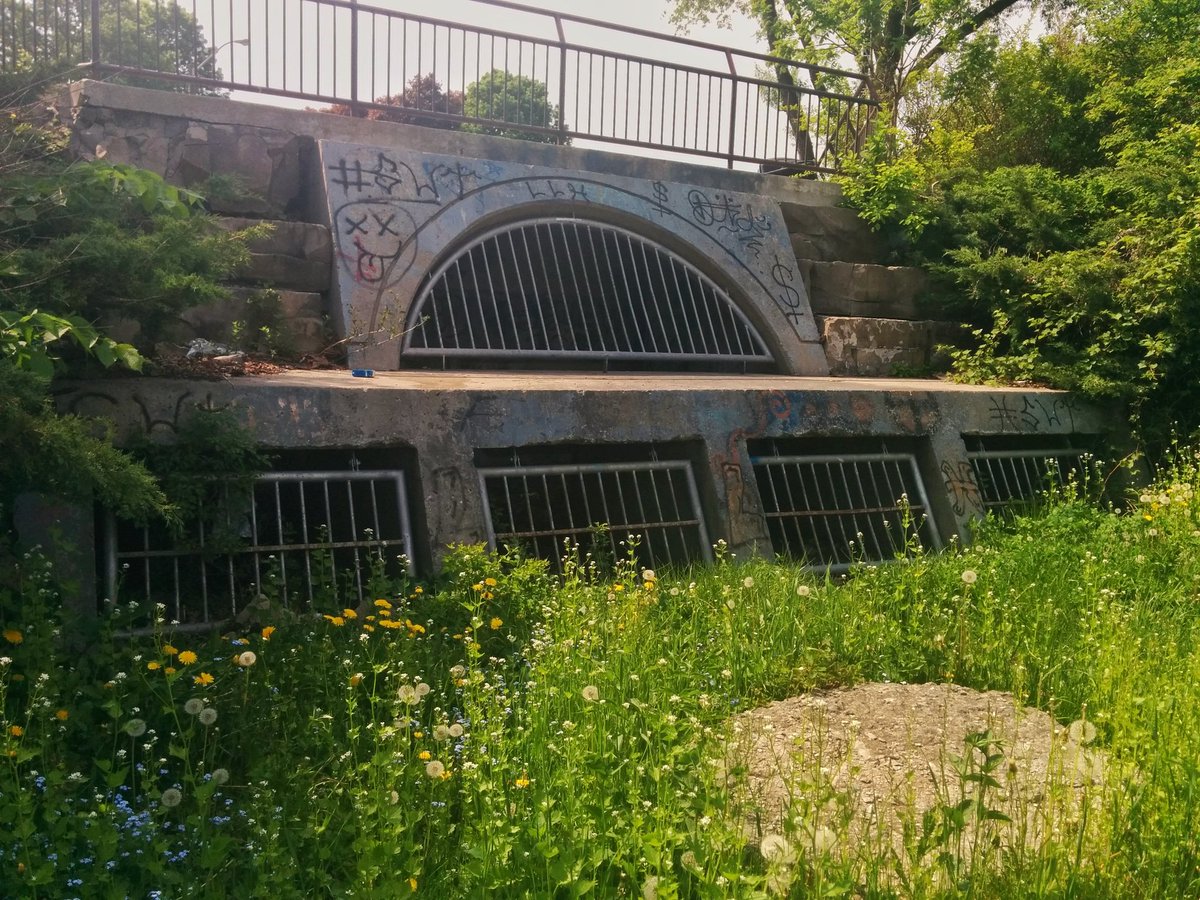
Going to continue following Taylor Massey Creek today, east and north of Victoria Park station. I gotta start by getting around Dentonia Park Golf Course, which monopolizes the creek between Victoria Park and Pharmacy. Also saw three major stormwater outfalls.

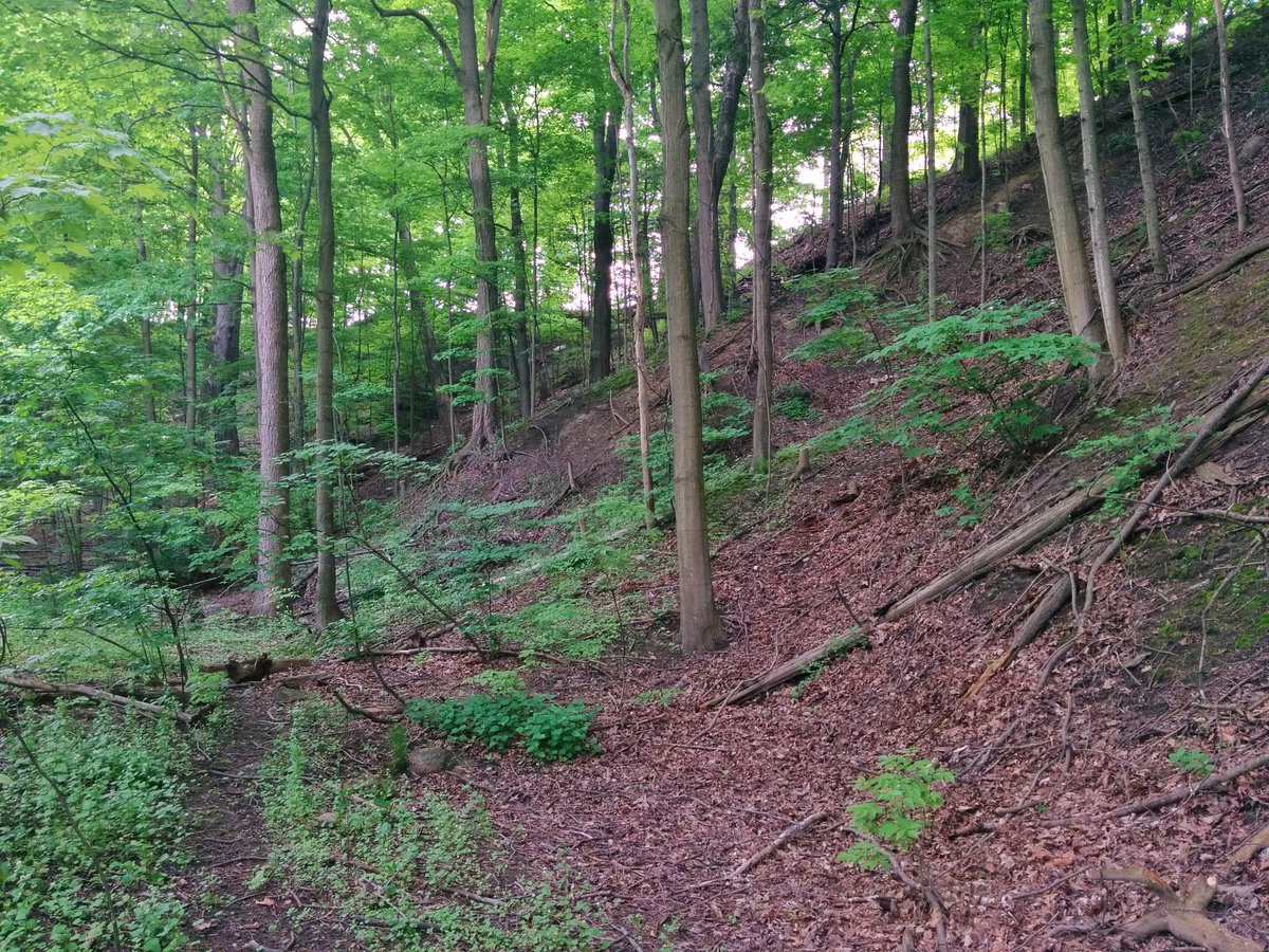
Warden Woods. It’s nice and thick in here. Major erosion control works ongoing.
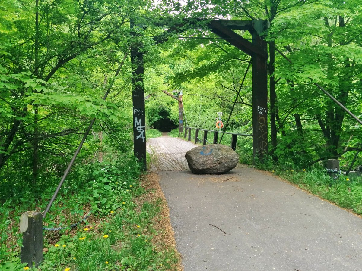

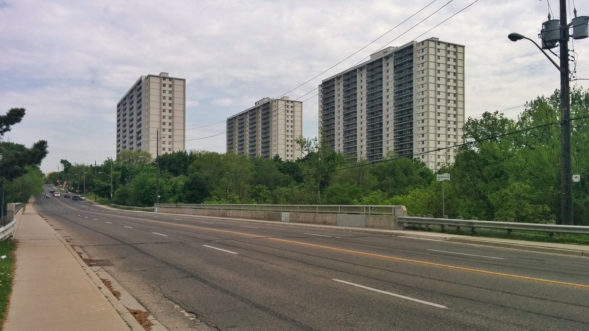
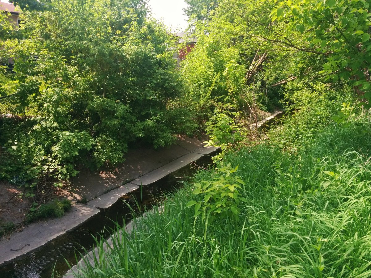
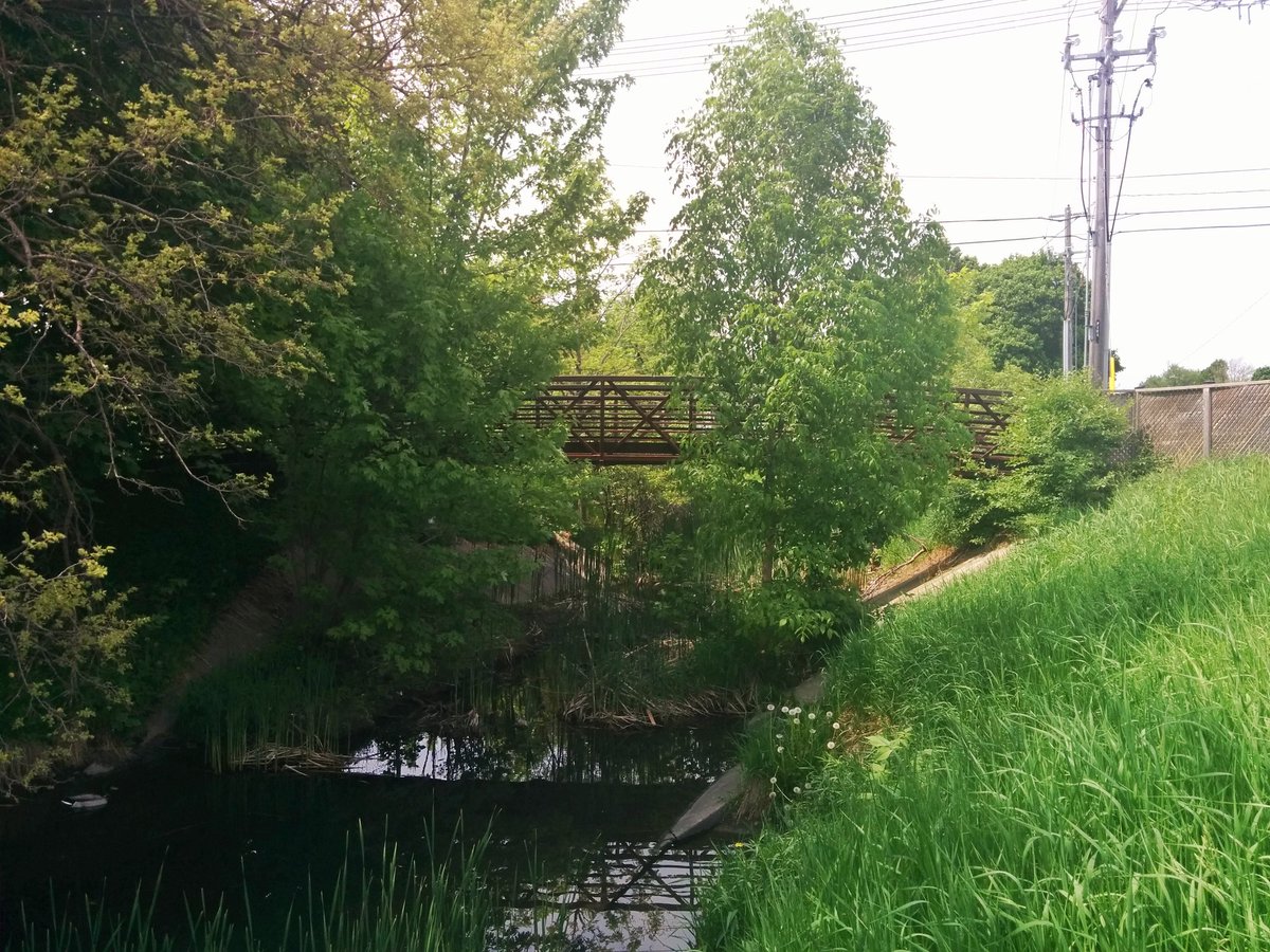
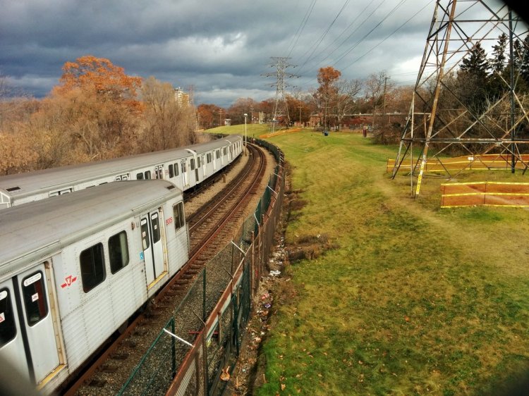
The creek curls around the Warden/St Clair intersection, north and west of Warden Station. Ducks through a few culverts to get under the roads and the subway line.


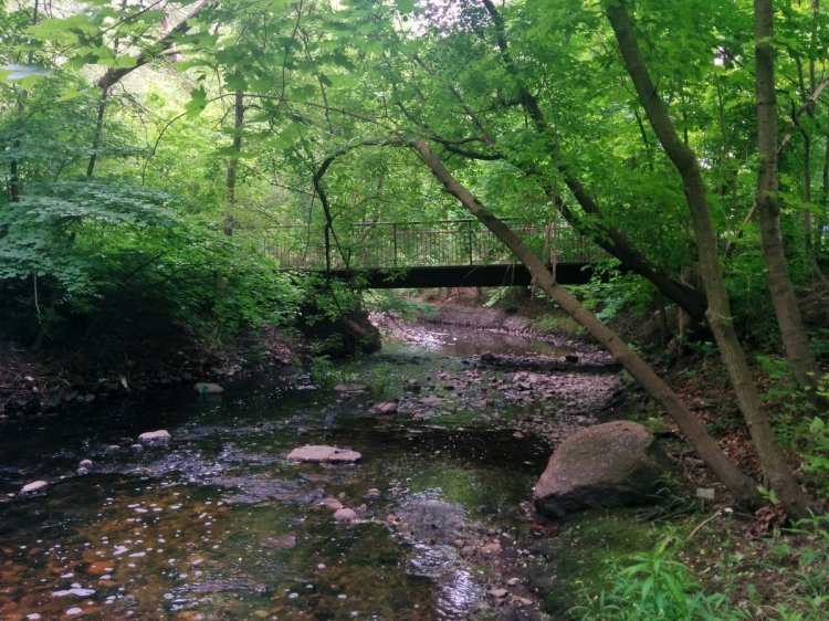
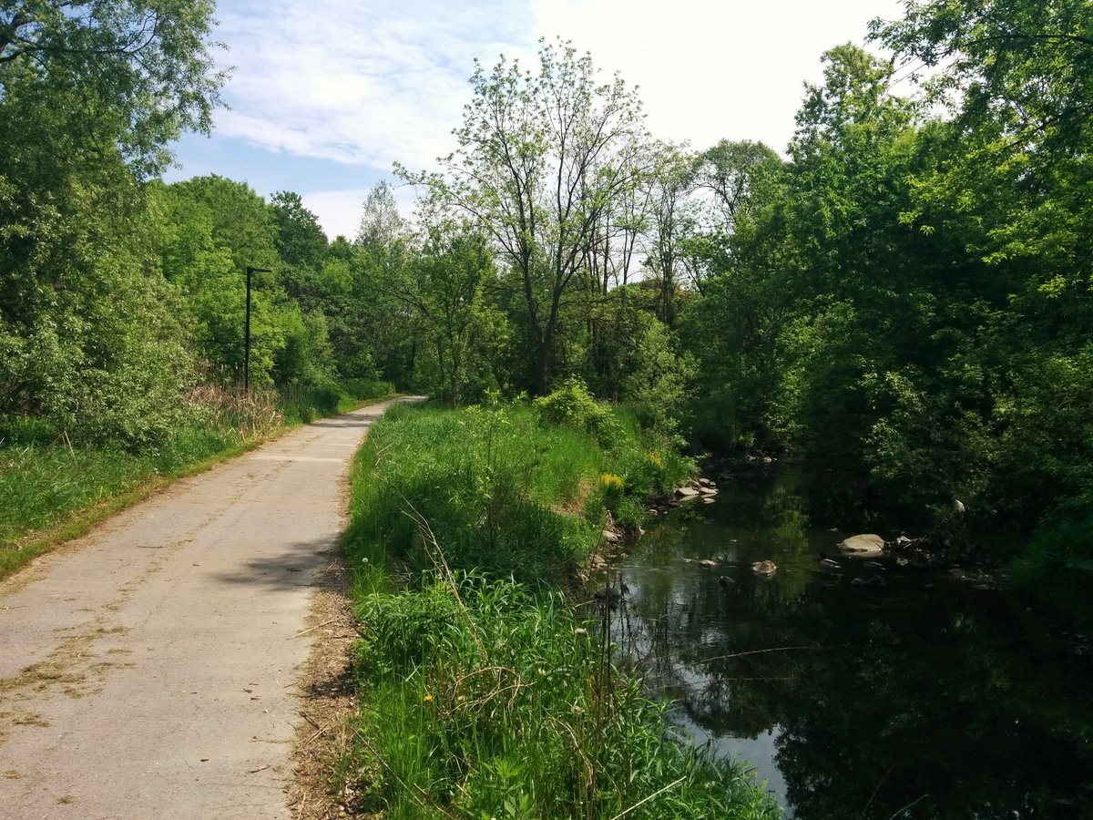
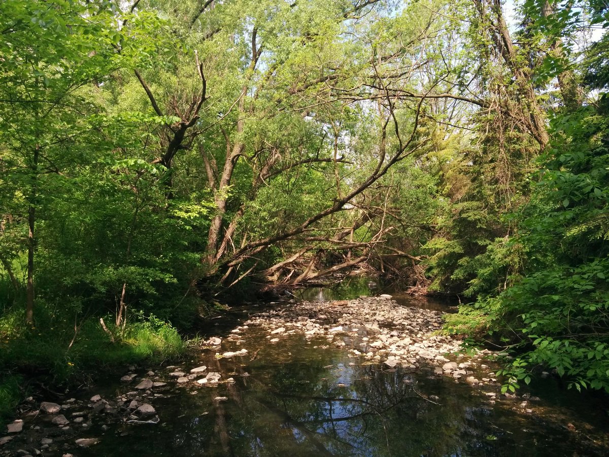
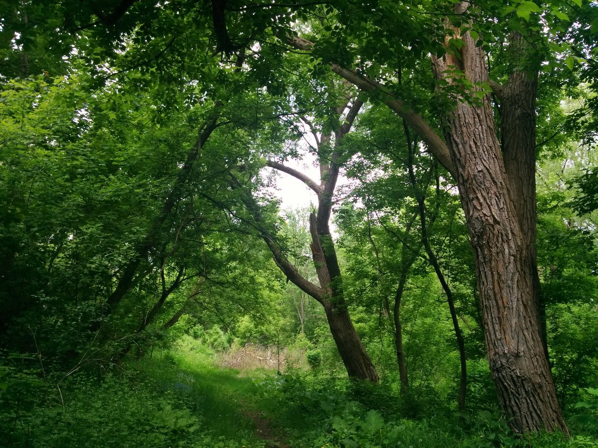
St Clair Ravine. Just as thick as Warden Woods. Some beautiful old growth in here.


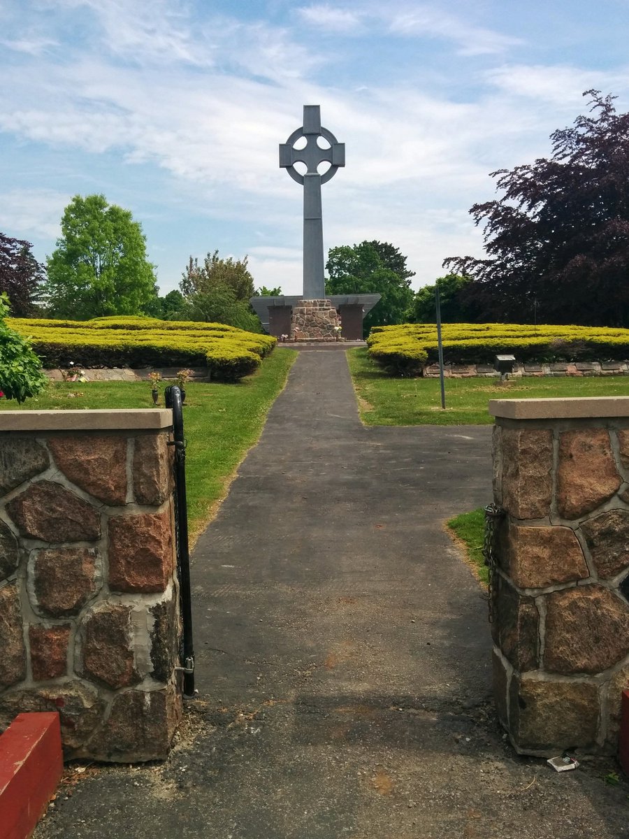
Taylor Massey continues through Pine Hills Cemetery. I didn’t get too many pictures out of respect, but I appreciate that access is given for recreational purposes.


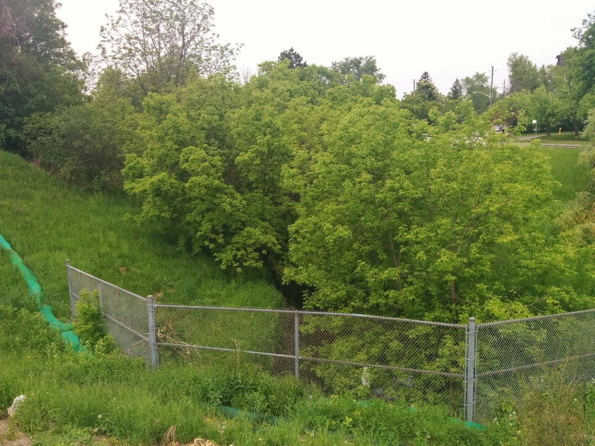
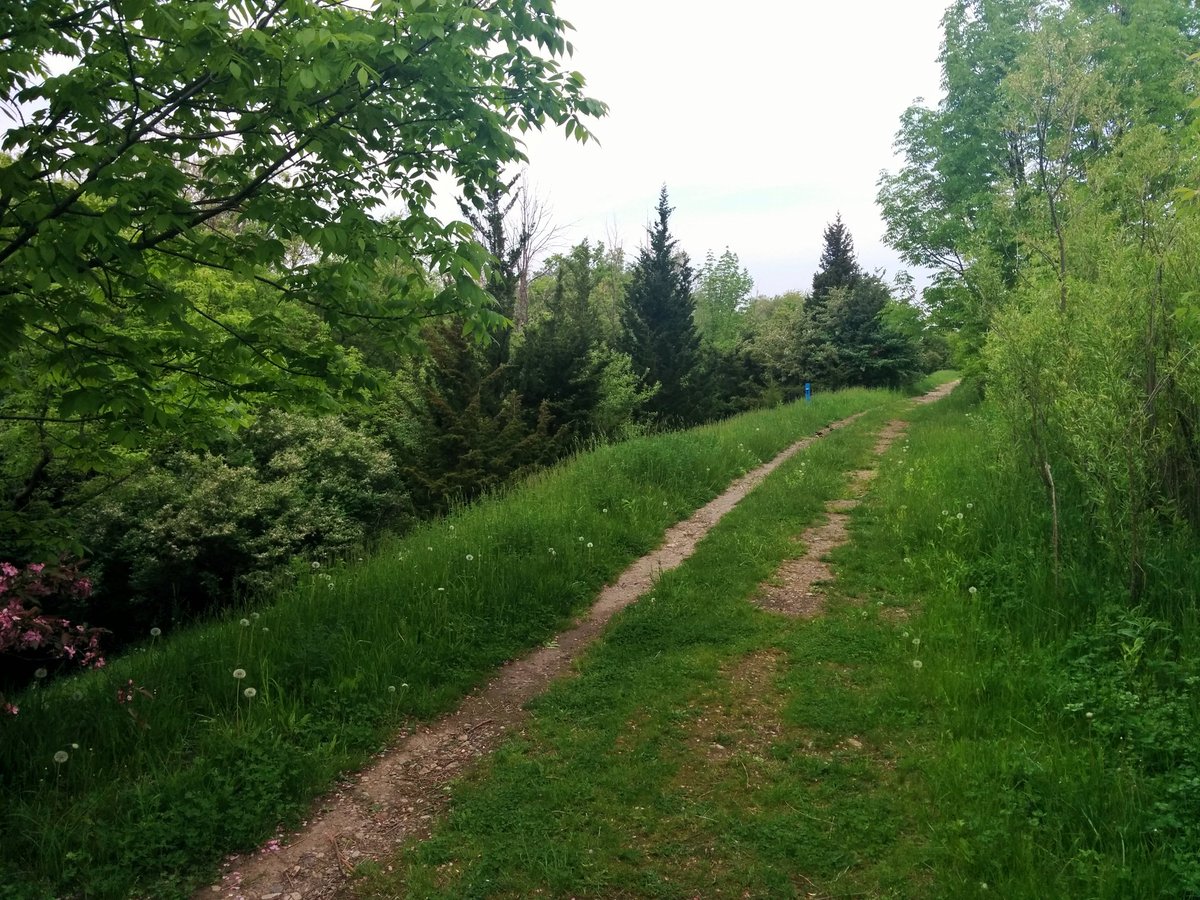
Between the cemetery and Eglinton, there’s no formal trails. Back lot shortcut through a strip mall, and then trudging through a grassy ravine. Glad I brought some proper footwear.


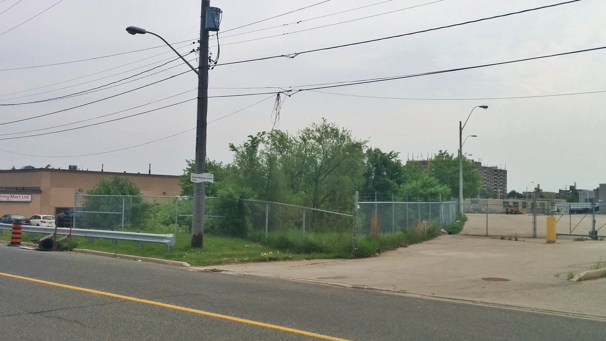
Taylor Massey is mostly inaccessible between Eglinton and Bertrand, unfortunately.

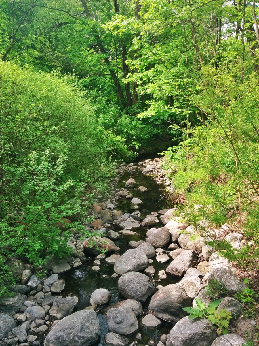
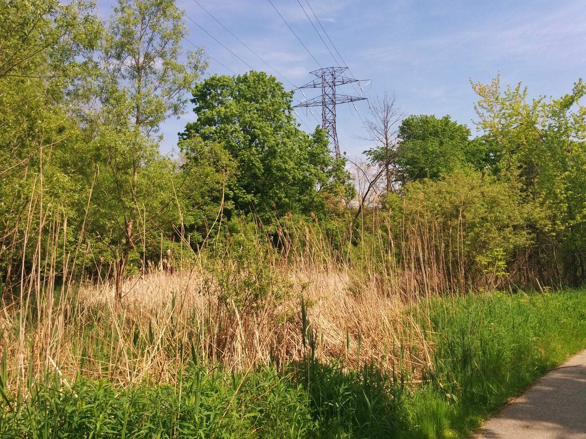
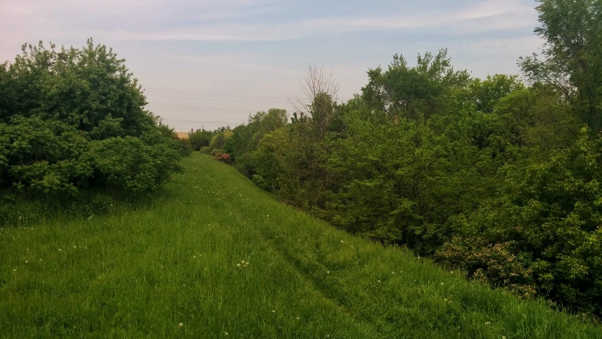
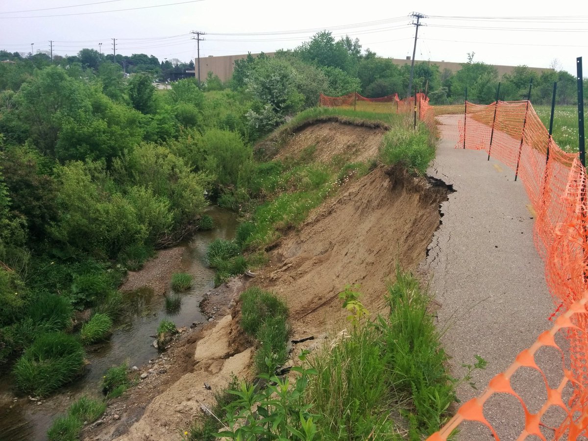
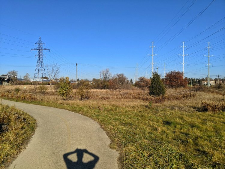
Between Bertrand and Lawrence, the creek parallels a former railway spur. It intersects the Gatineau Hydro Corridor (and the Meadoway), where its trail is falling into the creek due to erosion.

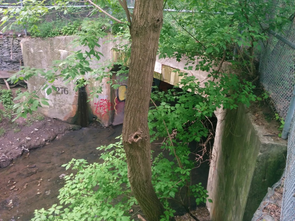
North of Lawrence, the creek is lost beneath suburbs, until you reach Manhattan Drive. The creek reappears, but it’s fenced in behind lock and key. Apparently enjoying your local watercourse is unlawful. It’s probably for safety, but you can’t help feel disappointed.


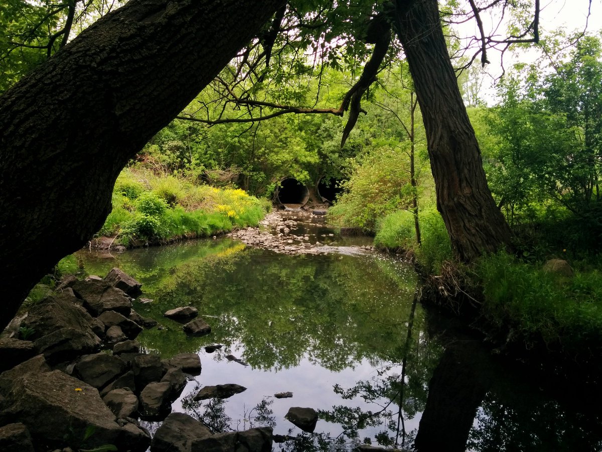
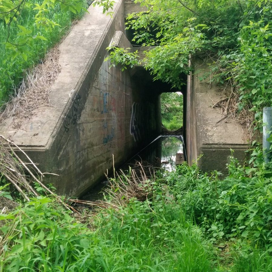
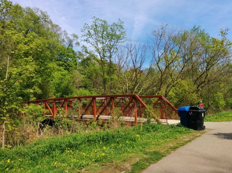
Taylor Massey continues to be contained, crossing back west under Warden, and then through this ultra skinny culvert beneath Canadian Pacific’s rail line. Open access finally occurs at Ellesmere.


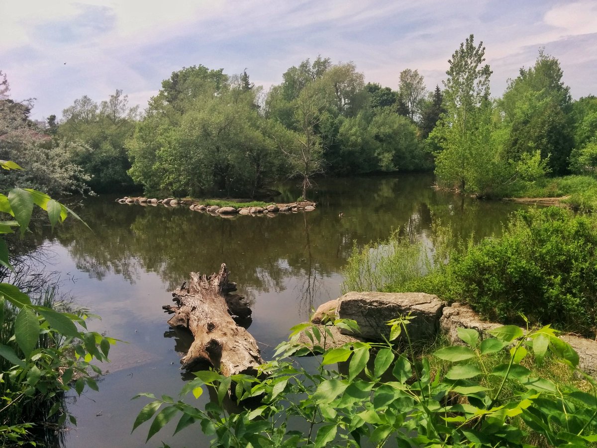
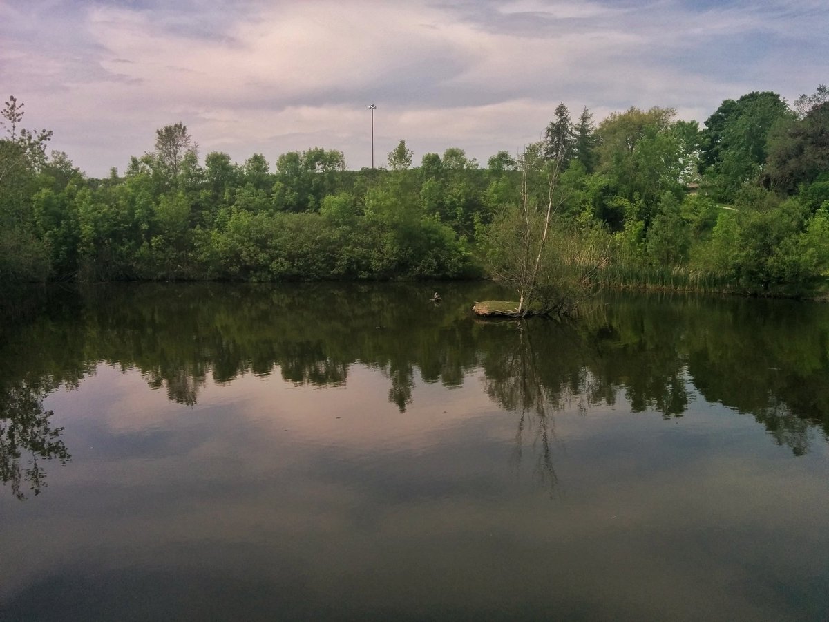
After walking up a hydro corridor, you arrive at Terraview Park. This is an excellent upstream stormwater management system.

Terraview Park is not the headwaters of Taylor Massey Creek. Aerial photos from the 50’s will clearly show you it continued north of the 401, through Wishing Well Park. It’s fairly lost now, but flood warning signs are everywhere, and there is an obvious drain.


Again, decades-old aerial photos show Taylor Massey flowing at least to a woodlot on Sheppard, just east of the 404. No signs of it now, although some surface ditches may exist thanks to freeway runoff.


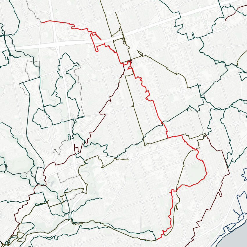
Date: May 26, 2018
Length: 20.4 km
Type: Riverine
Related Walks
Taylor Massey continued downstream
Walmsley / Taylor Massey I
Paralleling / intersecting hydro corridor
Scarb Utility
Intersecting hydro corridor east and west
East Don and West Meadoway