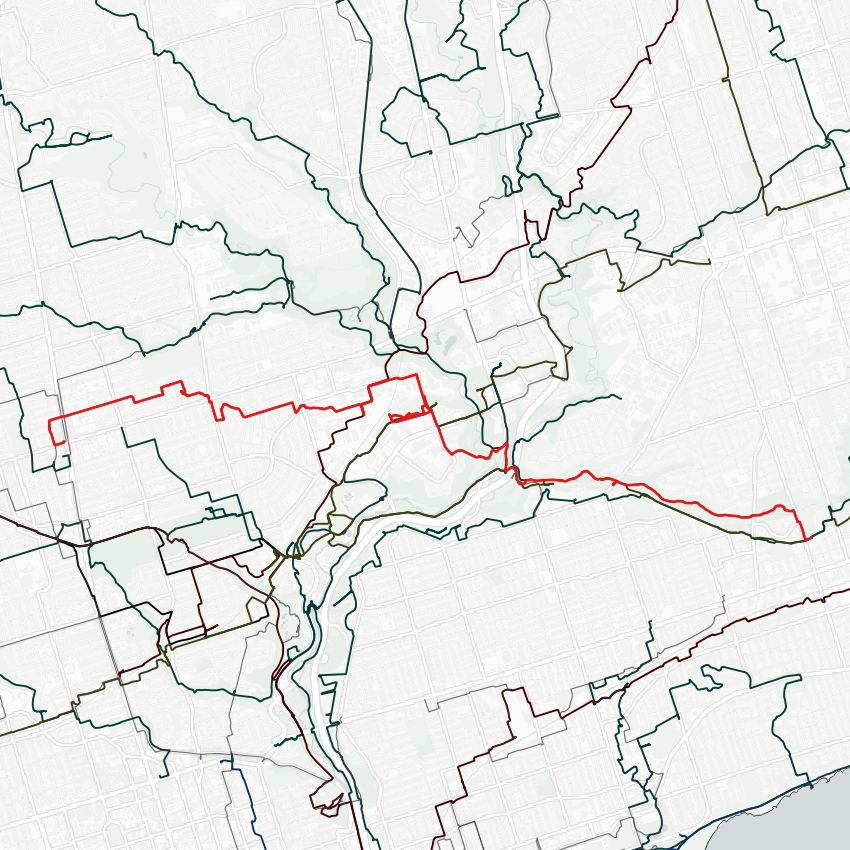
Taking Victoria Day to follow Walmsley Brook. Historical info puts the headwaters at Duplex and Montgomery.
This area was developed sometime during the 40’s I think, so it’s hard to trust the local topography. That said, it seems to follow Montgomery. First real sign of anything is at this low-lying area and drain cover at Charlotte Maher Park.

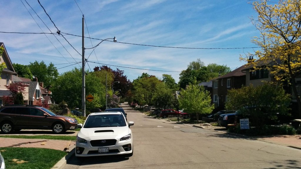
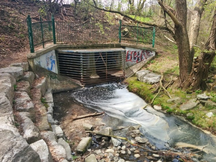
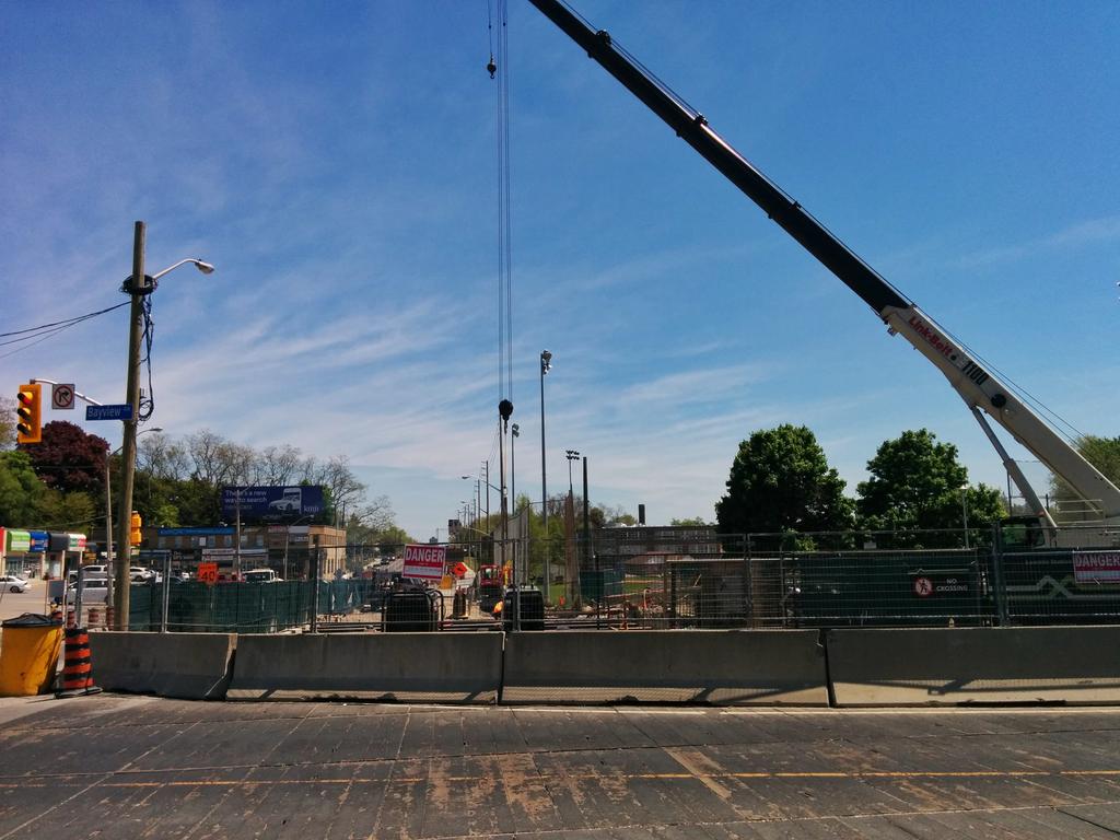
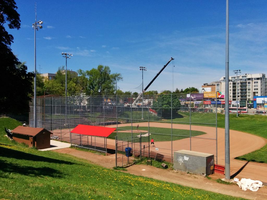
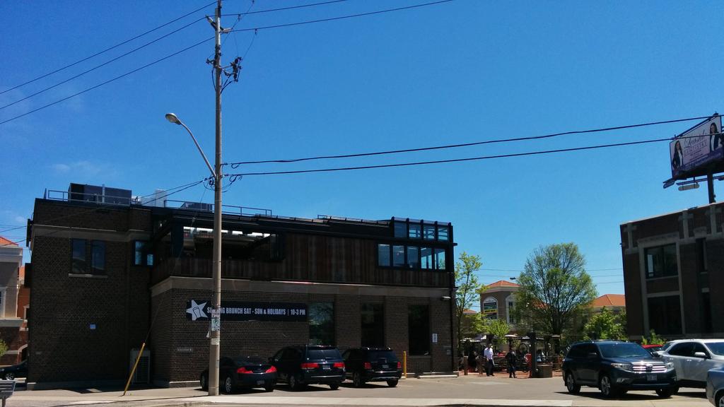
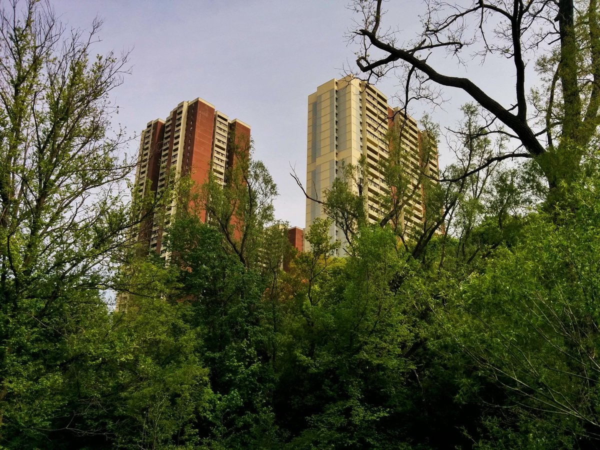
Walmsley Brook went through the intersection at Eglinton and Bayview. Oddly enough, a Crosstown station will be located here too, I’m sure its design required a lot of drainage works. Southeast of that, the rec fields at Leaside High give us another obvious clue.
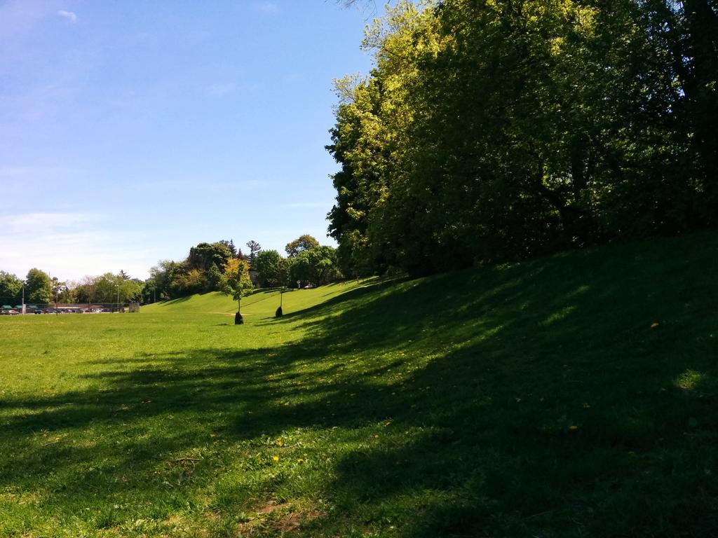
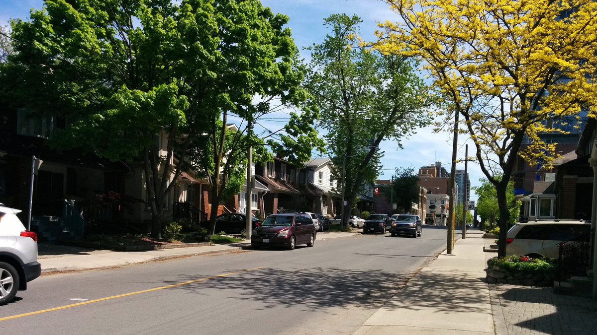
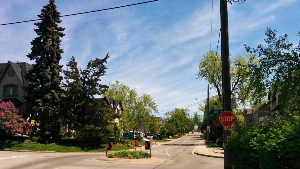
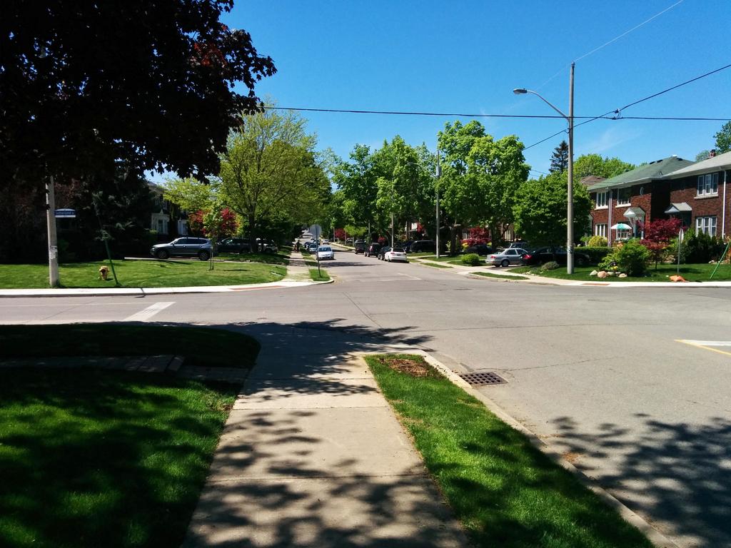
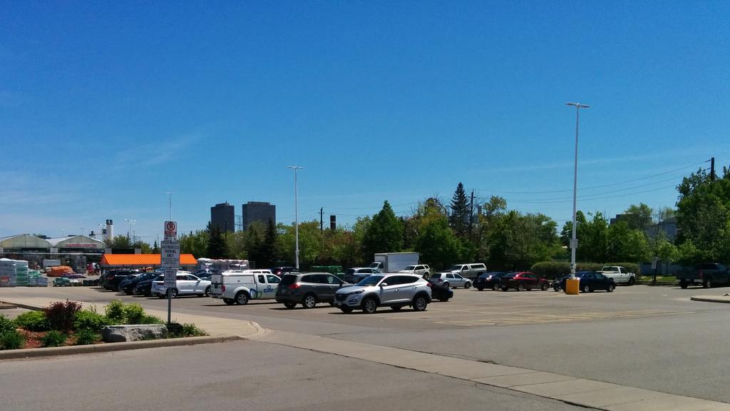
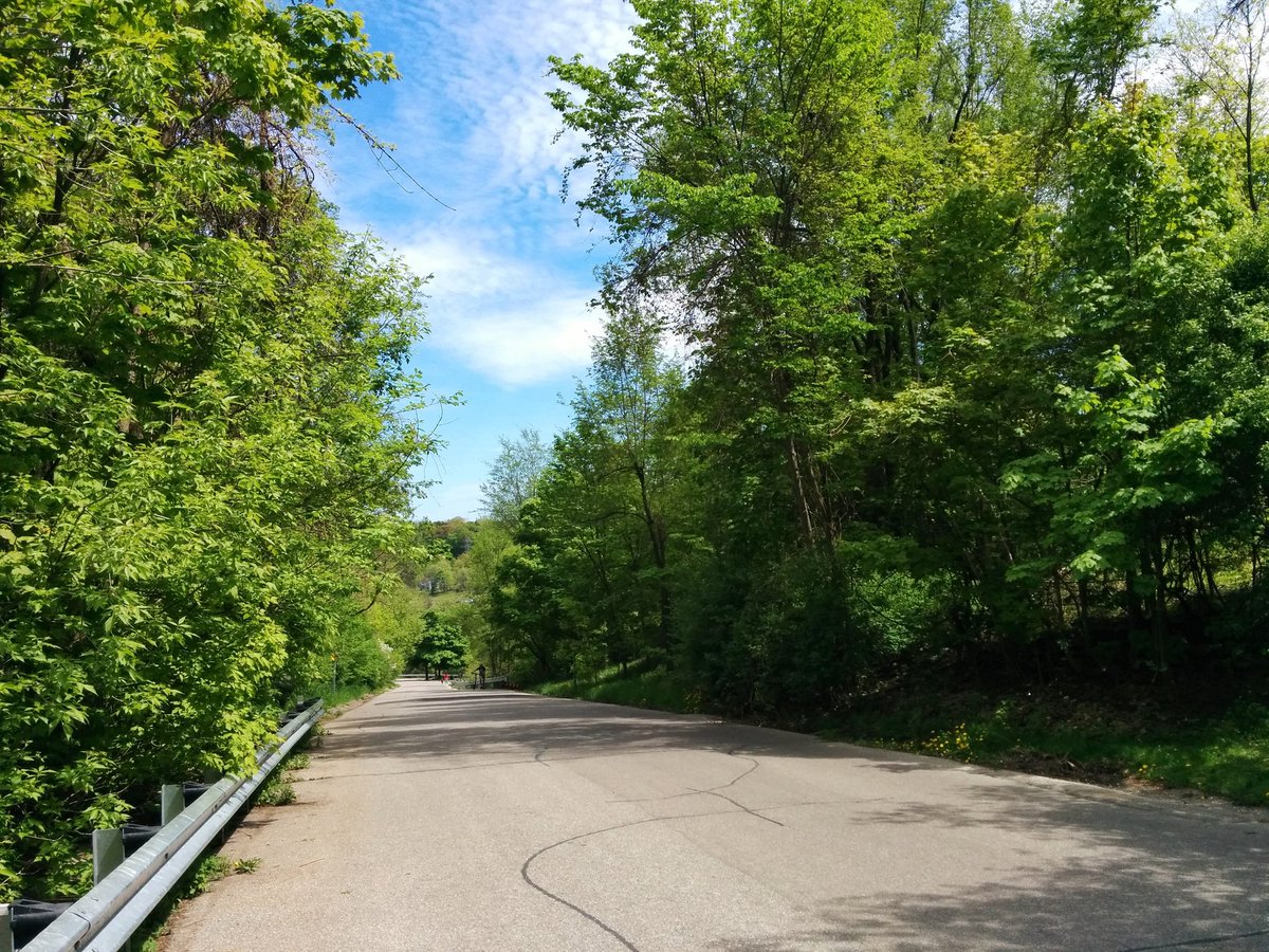
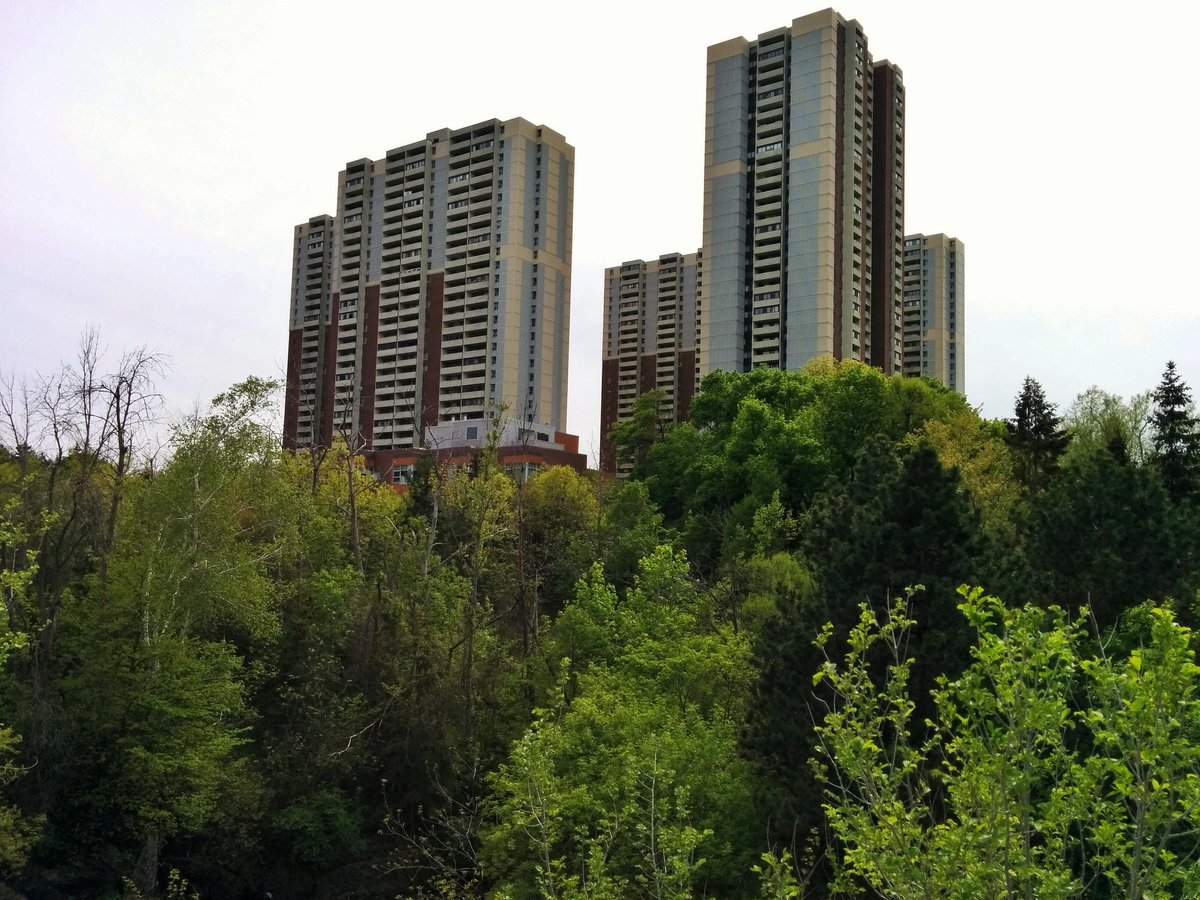
Walmsley Brook is fairly lost through Leaside. No signs through the leafy suburban neighbourhood, or the sprawling suburban mall parking lot.

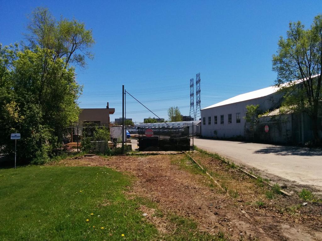
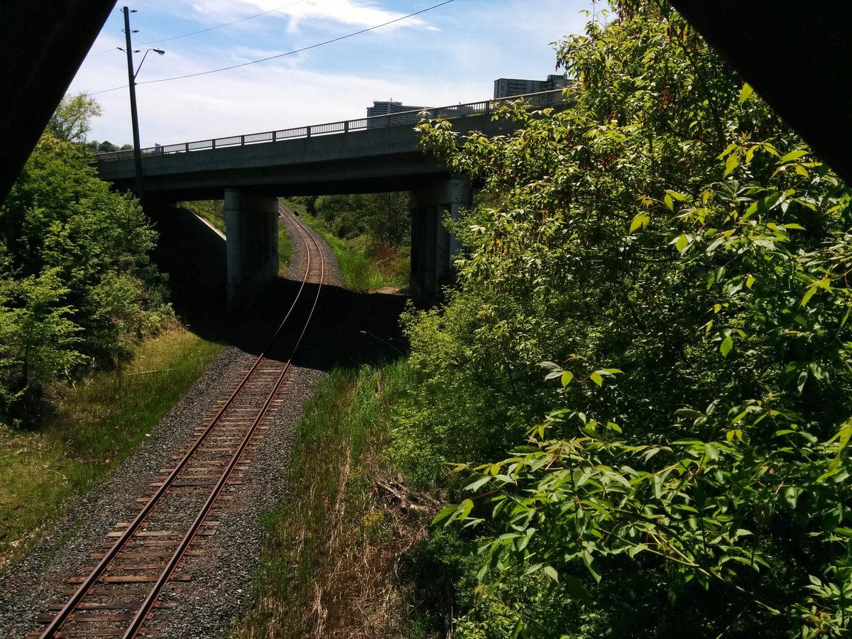
Not much to see in the industrial side of Leaside either. Access is quite restricted. I suspect you would be able to see the Brook between Canadian Pacific’s rail lines and the adjacent cement plant, southeast of this pumping station. But we gotta go around.
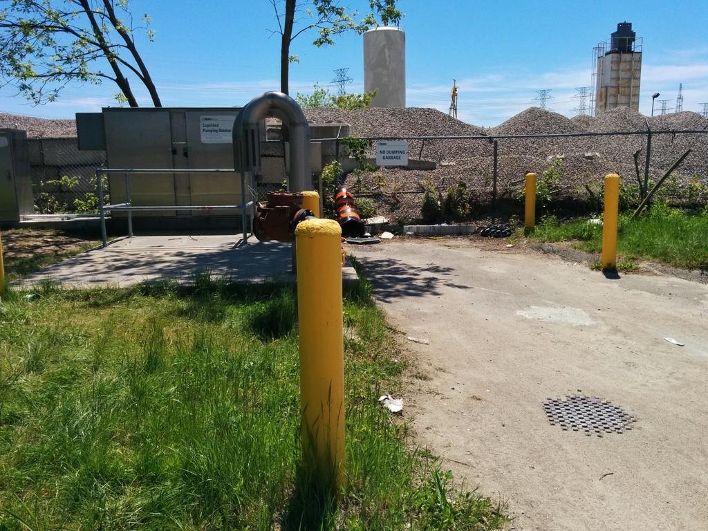
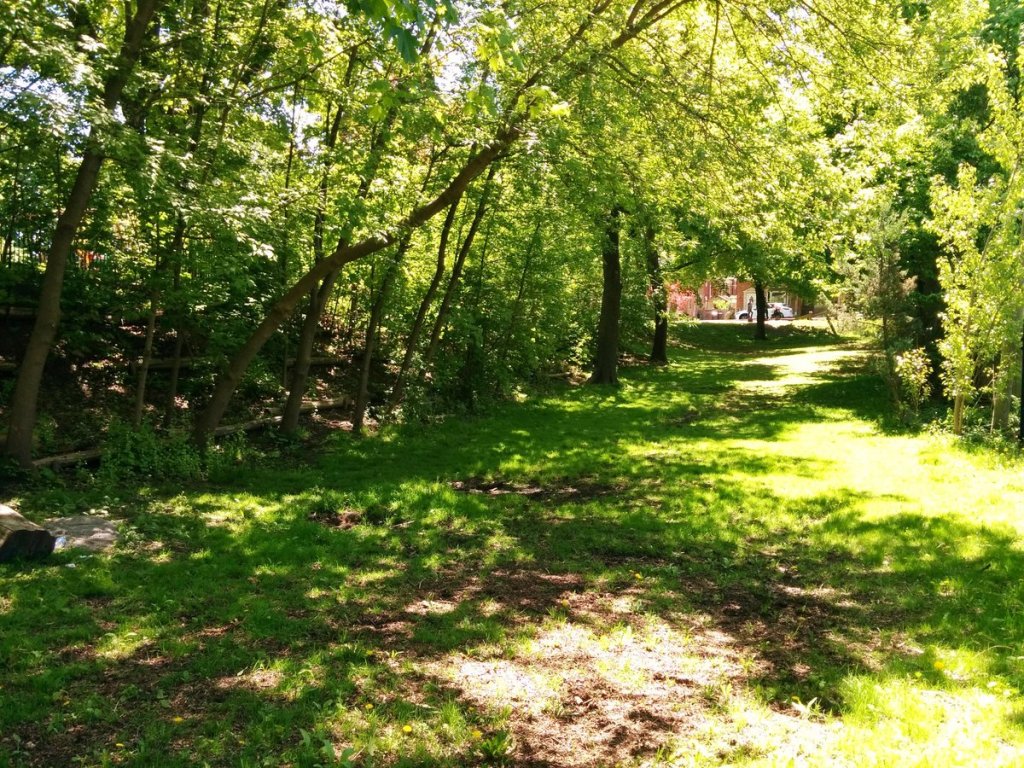
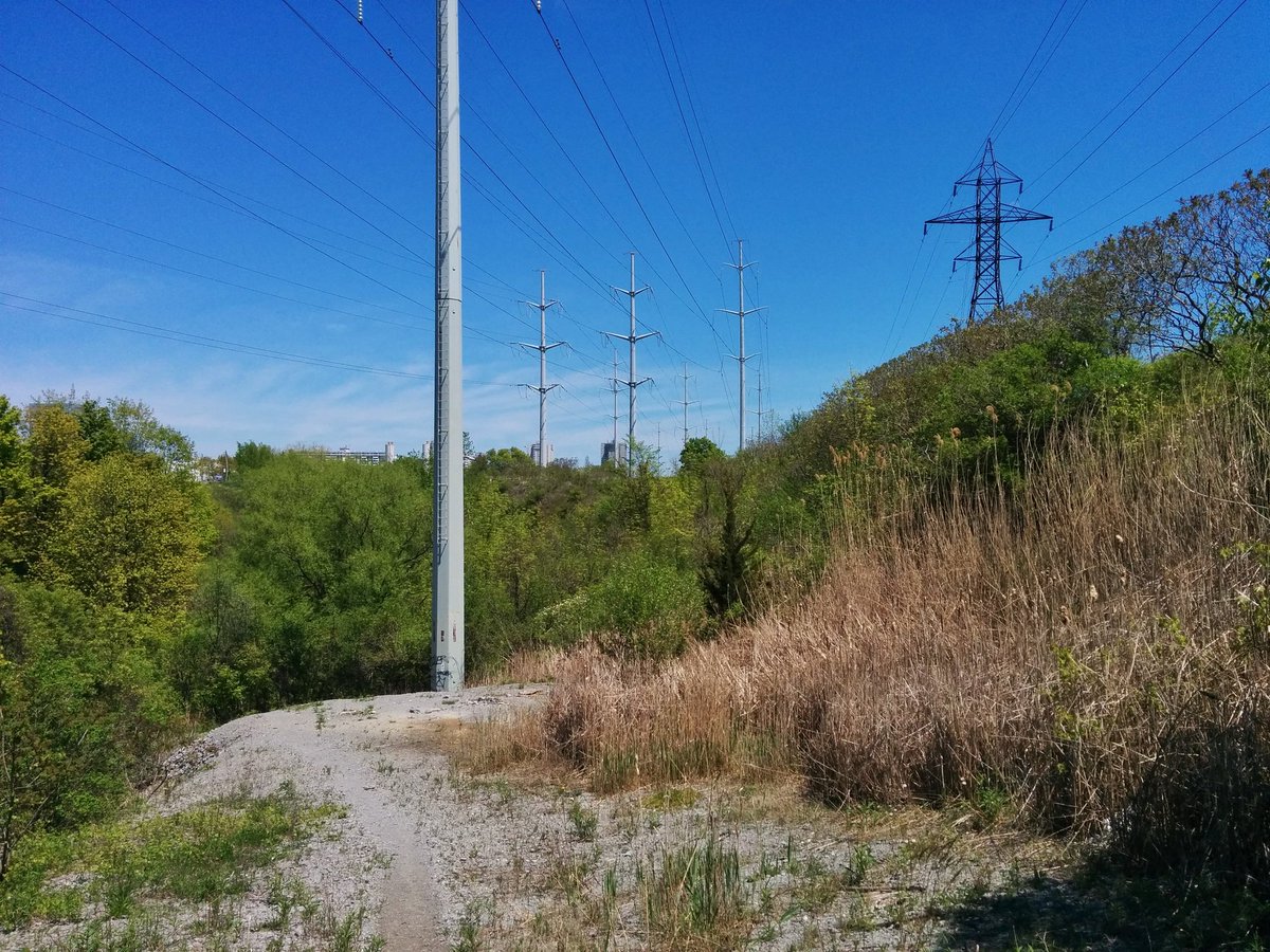
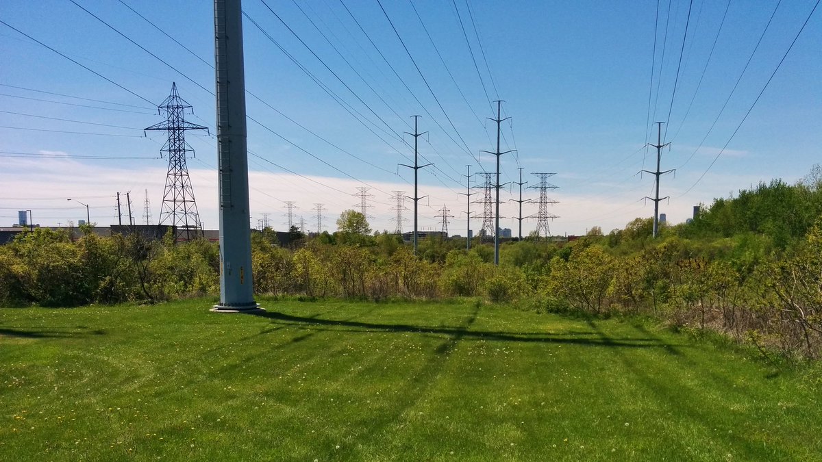
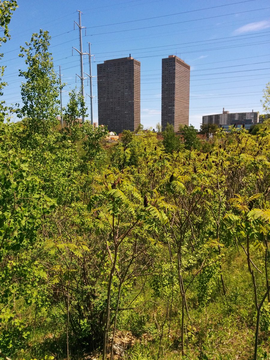
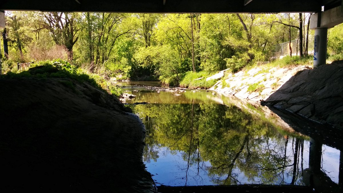
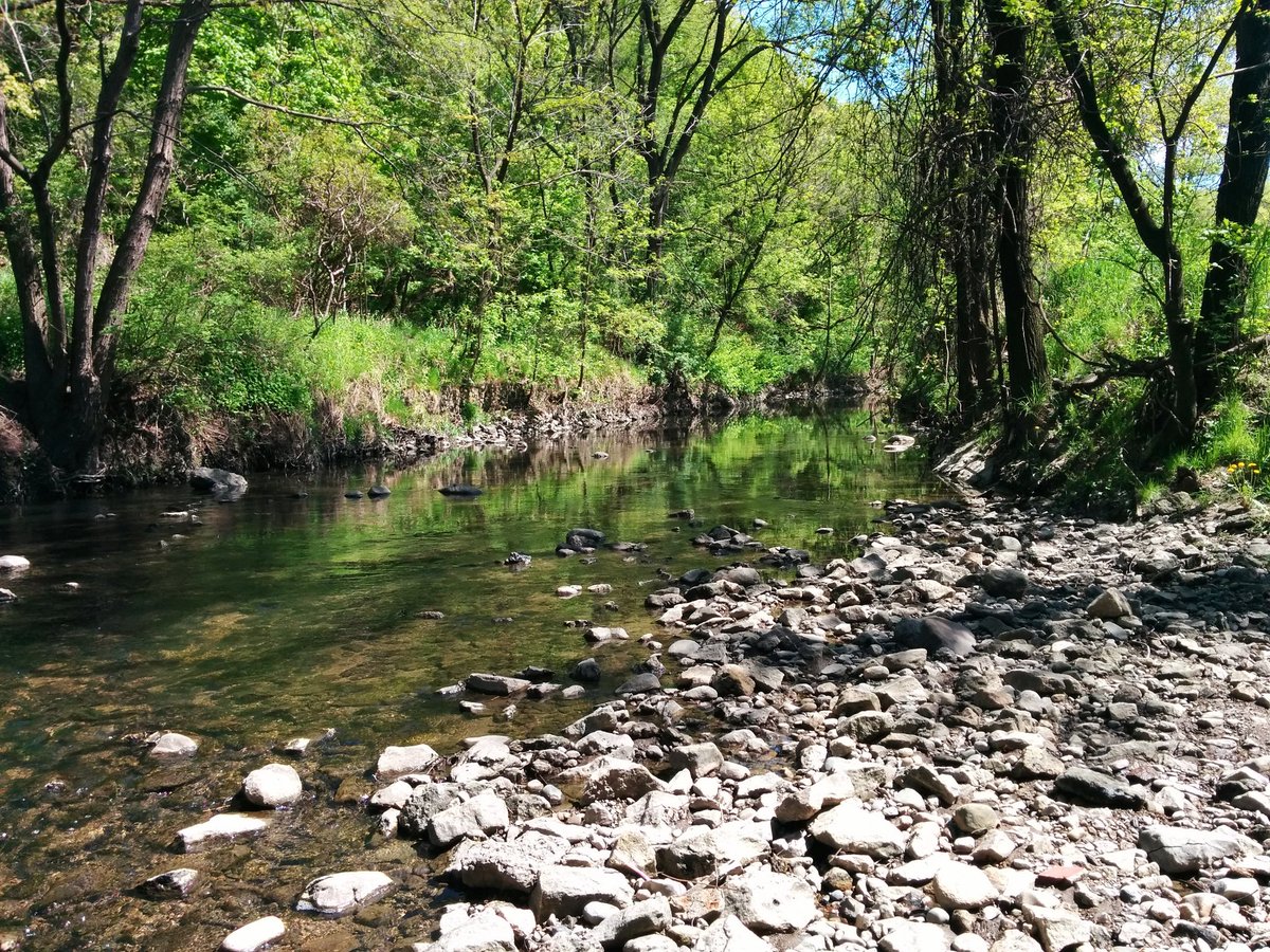
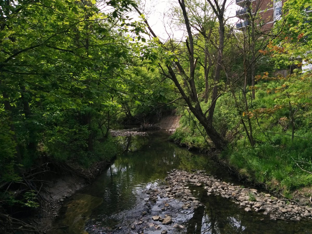
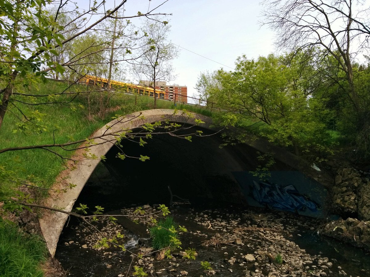
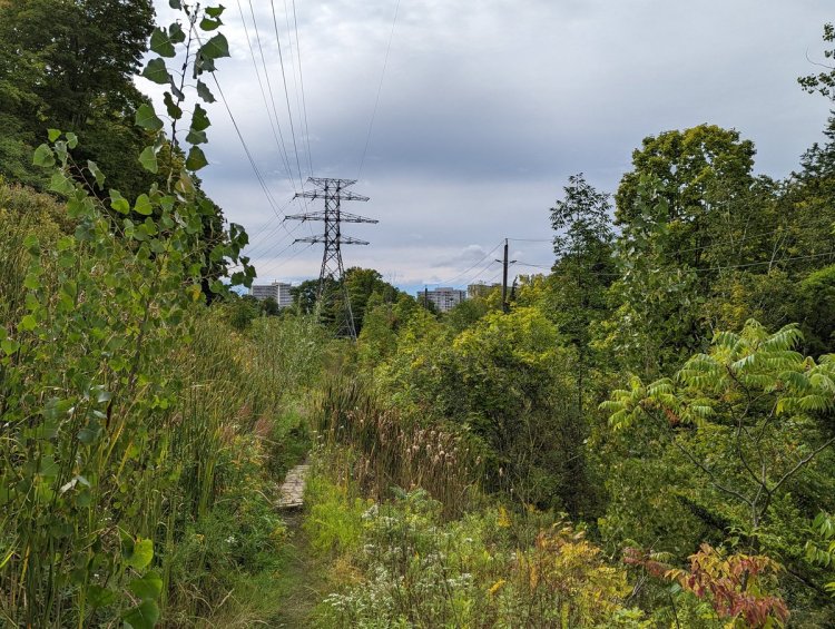
Finally arrive at the one reach of Walmsley Brook that is open, southeast of Leaside, to its confluence with the West Don. It’s also within the Gatineau Hydro Corridor, but it’s still buried in thick brush. I don’t have enough protection from ticks or ankle support to push through.

So we’re going to continue this walk into the evening. Headed to Taylor-Massey Creek. Requires descending into the Don Valley, and navigating over the West Don, under Don Mills Road, over the Richmond Hill line, over the East Don, and under the Don Valley Parkway. You follow?
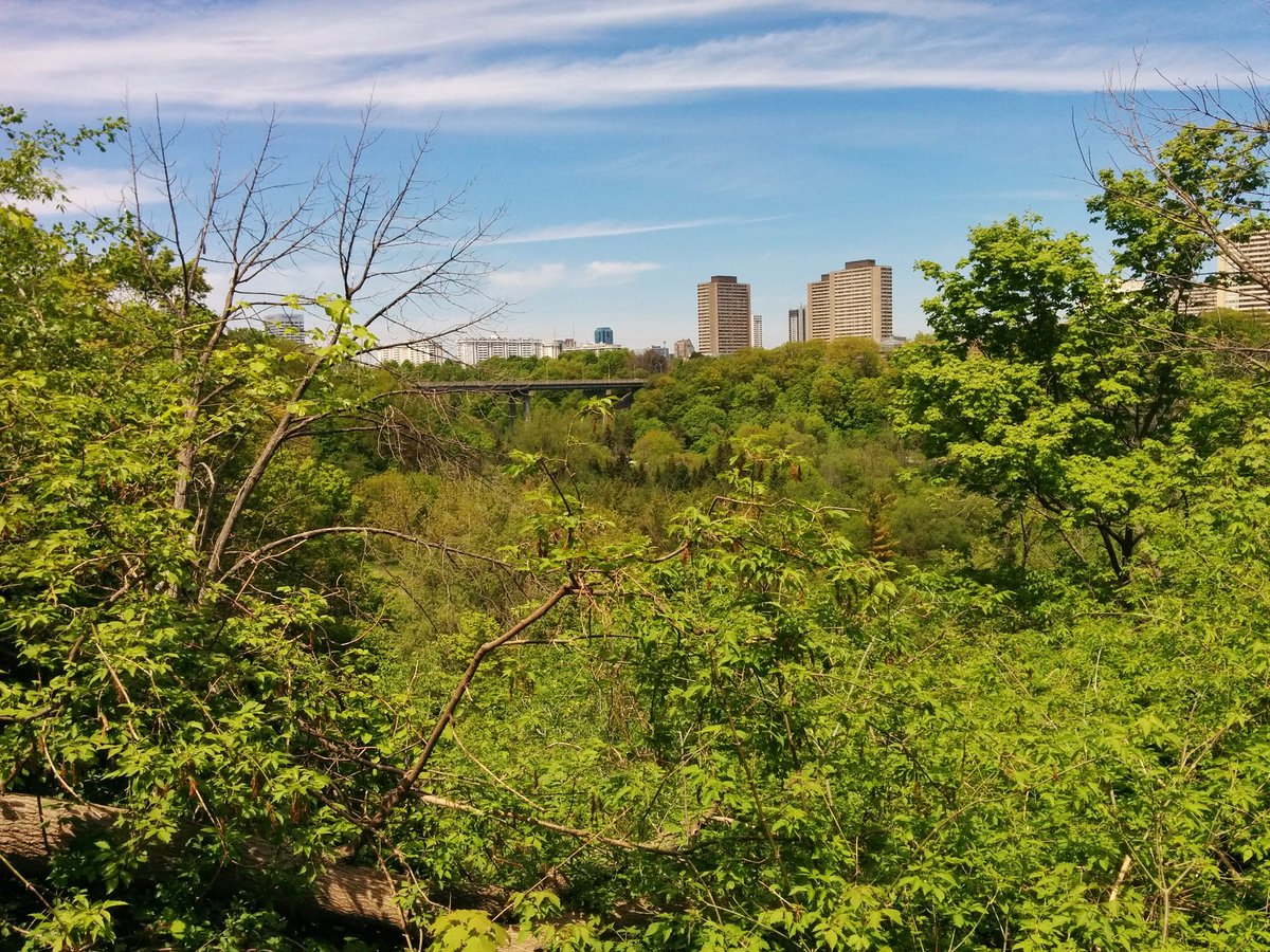

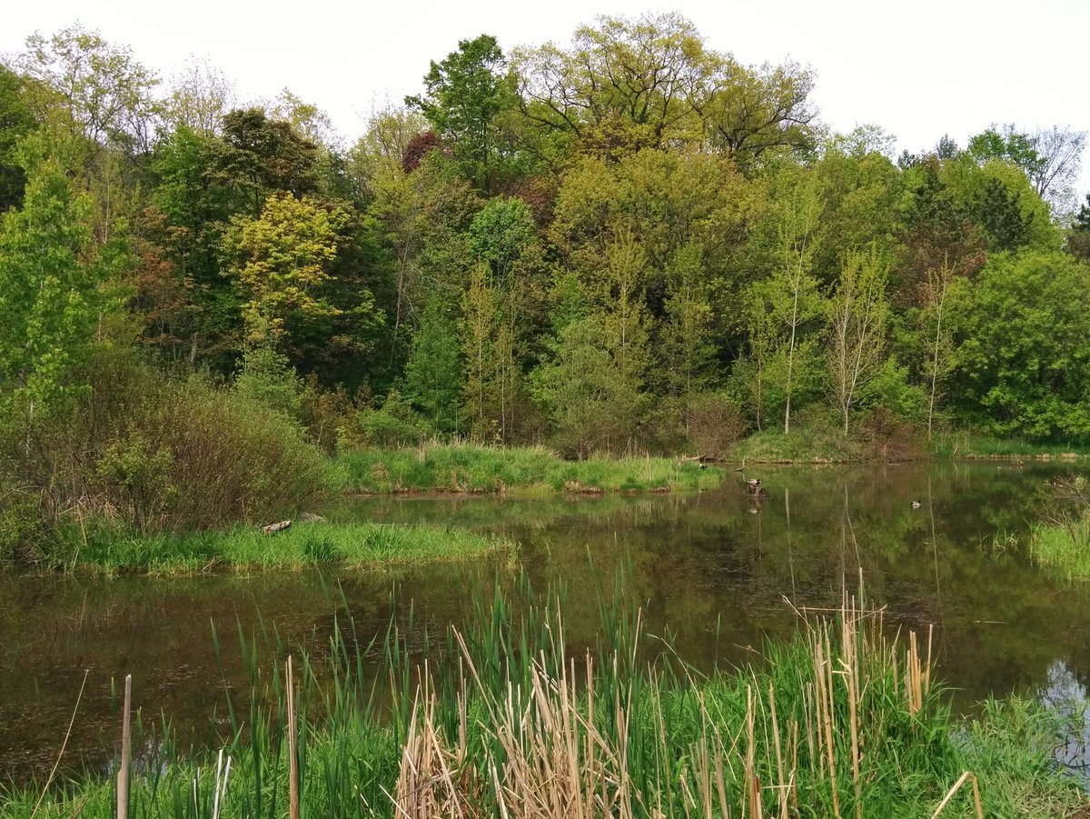
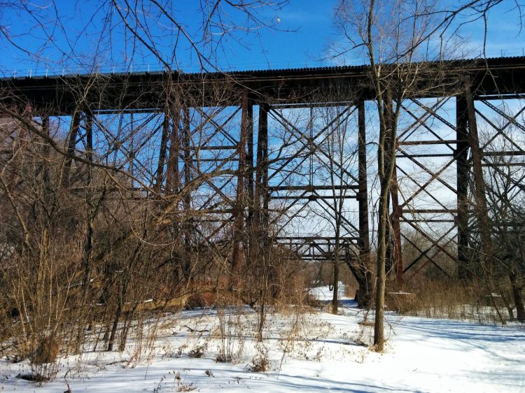
Taylor Massey Creek merges with the East Don, steps from the latter’s confluence with the West Don. When you talk about the Forks of the Don, it includes this too.
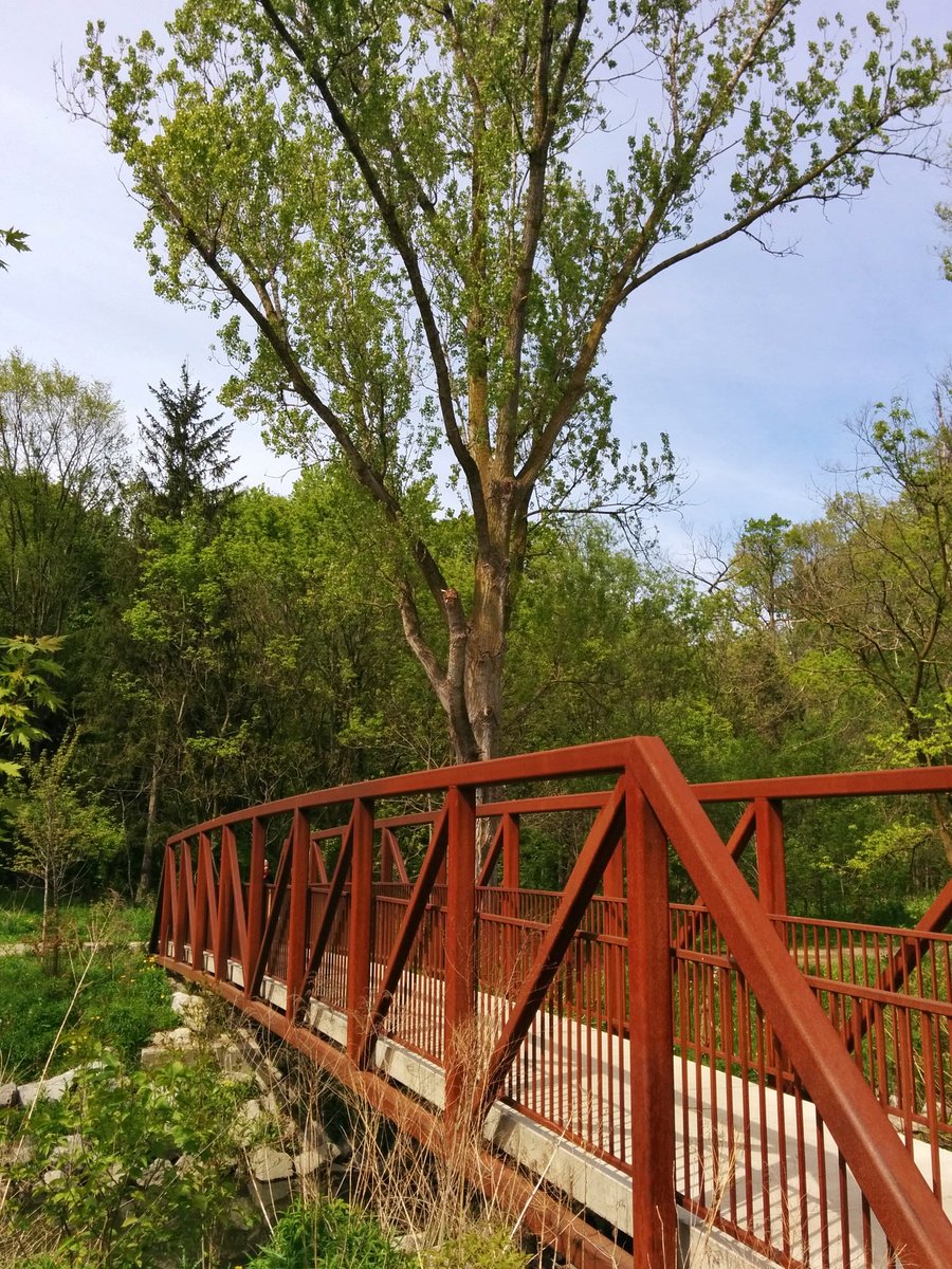
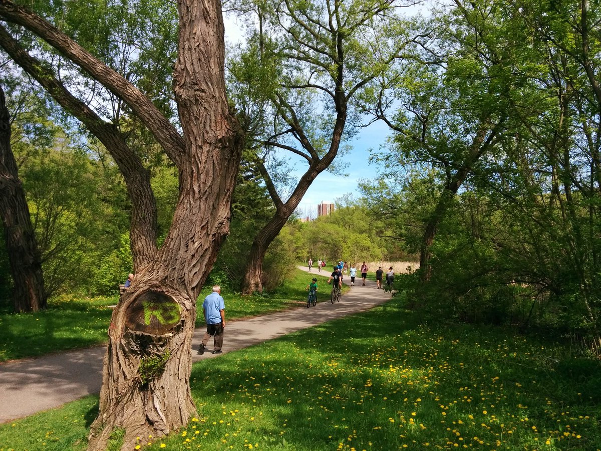
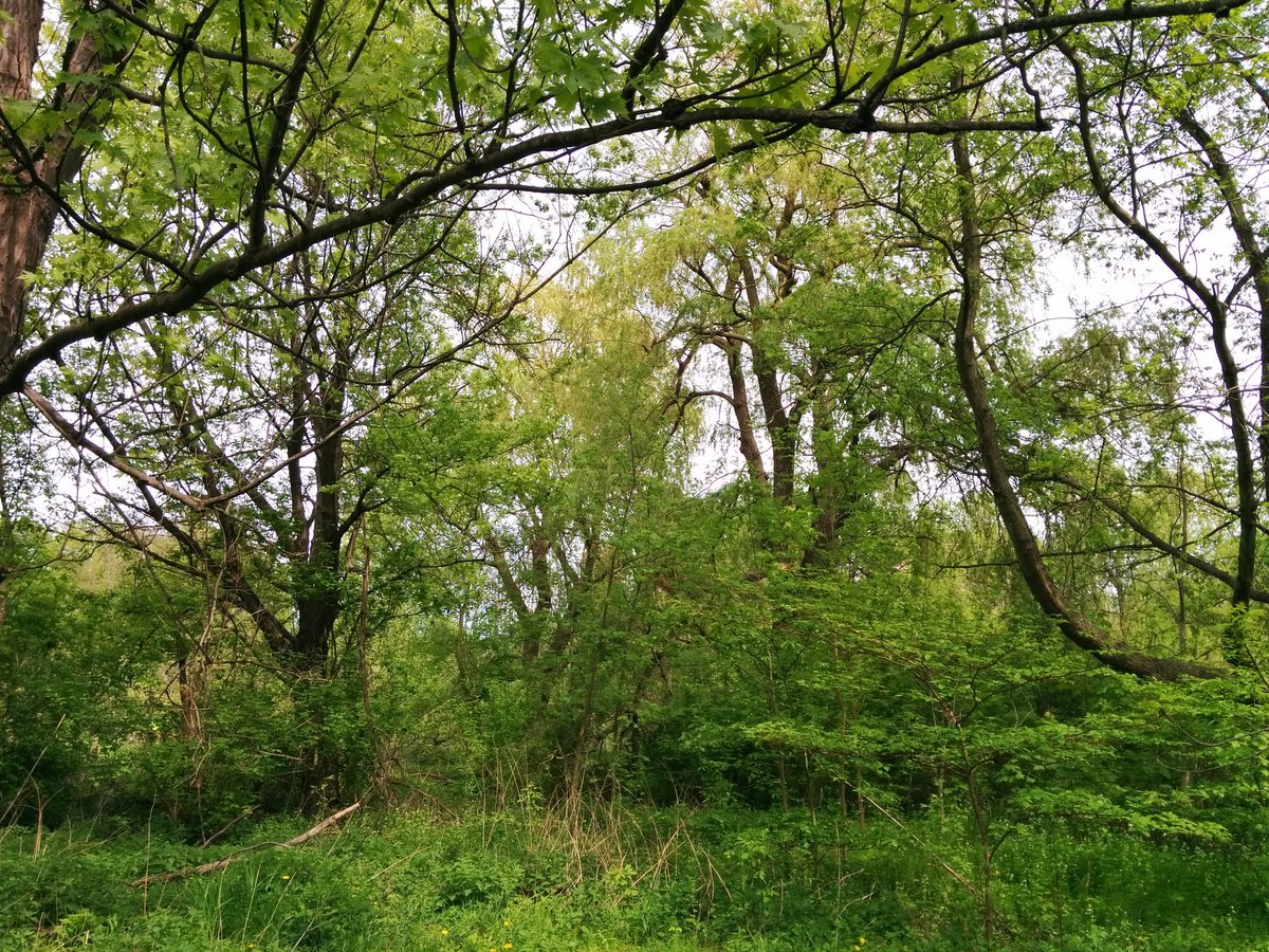
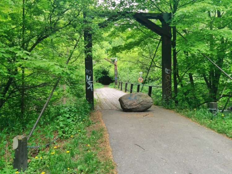
Taylor Massey is very popular with hikers and bikers. And it’s no surprise: it’s secluded, thick with vegetation, and has a high quality trail system that gives you a degree of ‘pick your adventure’.
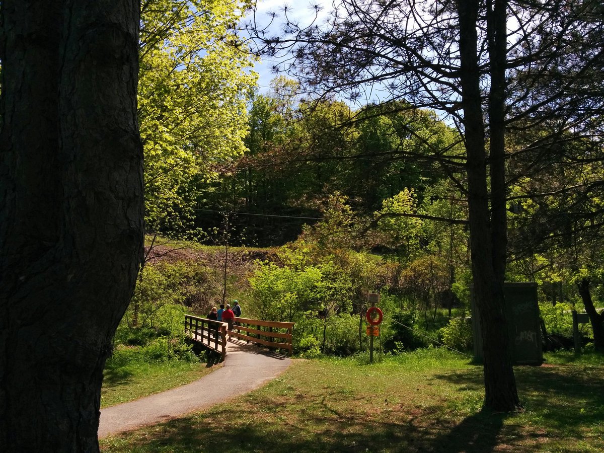

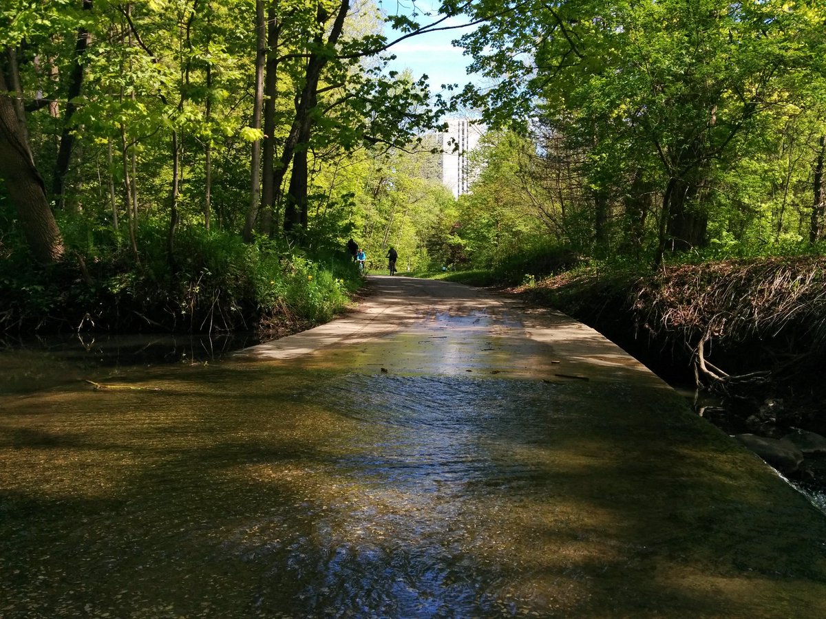
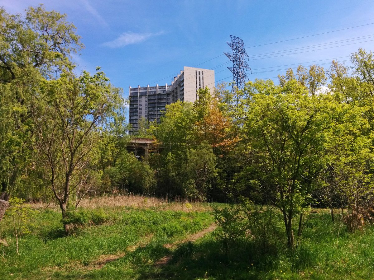
The other major thing that augments the trail and ravine: connections. There are lots of connections from local streets. It provides great access from and between neighbourhoods, even if the ravine isn’t your destination.
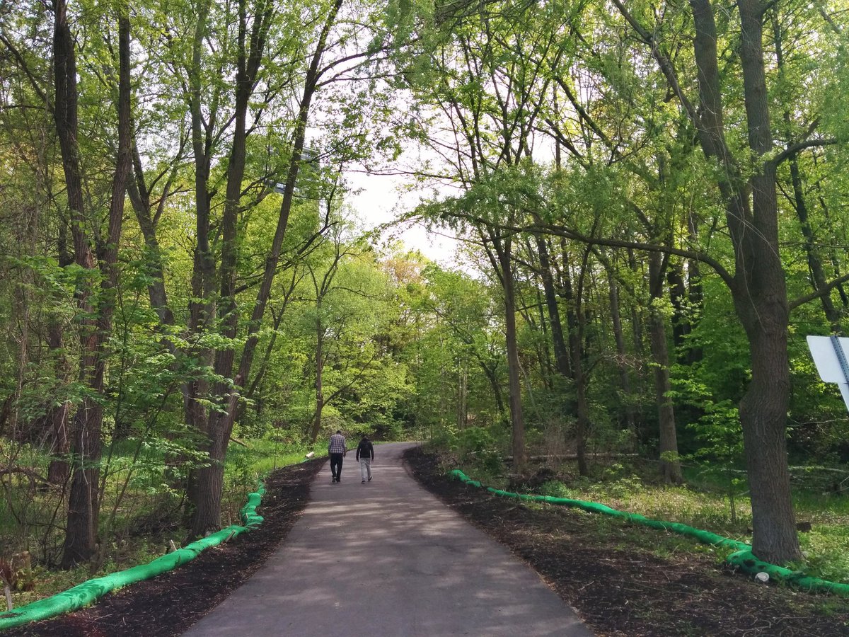
More greatness, presented without comment.
Reaching Crescent Town, the trail/ravine are interrupted by Dentonia Park Golf Course, and the berm for and Victoria Park Ave. This is a good spot to cap it, I’ll follow the rest of Taylor Massey Creek another day.

Date: May 21, 2018
Length: 15.1 km
Type: Riverine
Related Walks
Intersecting rail line east and west
CP Midtown
Hydro corridor over open cut of Walmsley
West Gatineau Hydro


East Don upstream of the Forks
Crothers Woods to East Don
Hydro corridor parallel to Taylor Massey
Midtown / Oakridge Hydro
Taylor Massey continued upstream
Taylor Massey II