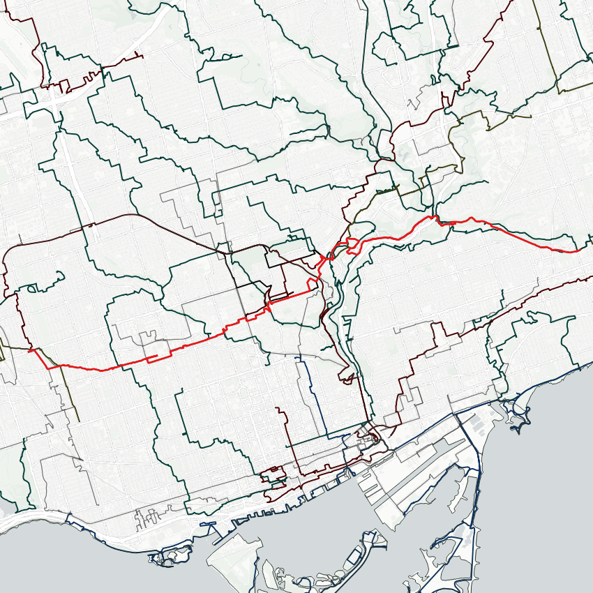
Good morning from Toronto’s Corso Italia neighbourhood. Today I’ll be following a couple hydro corridors cutting across the middle of the city. I’m due southeast from this junction at St Clair. Let’s go.


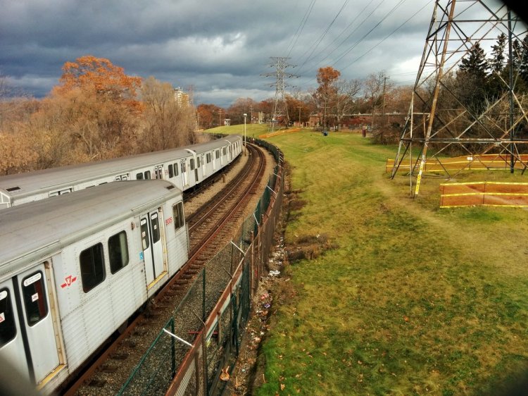
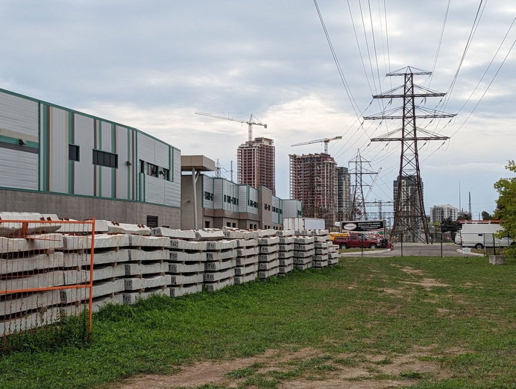
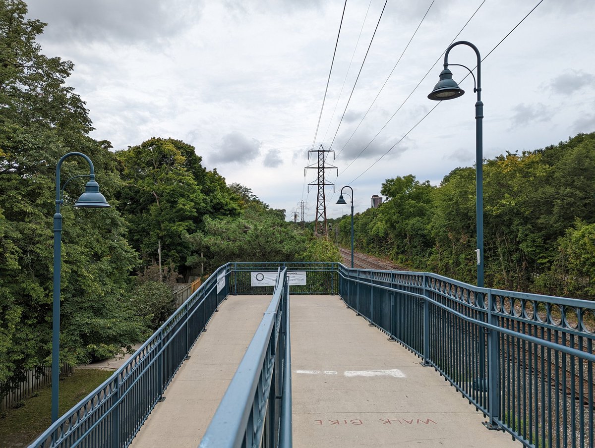
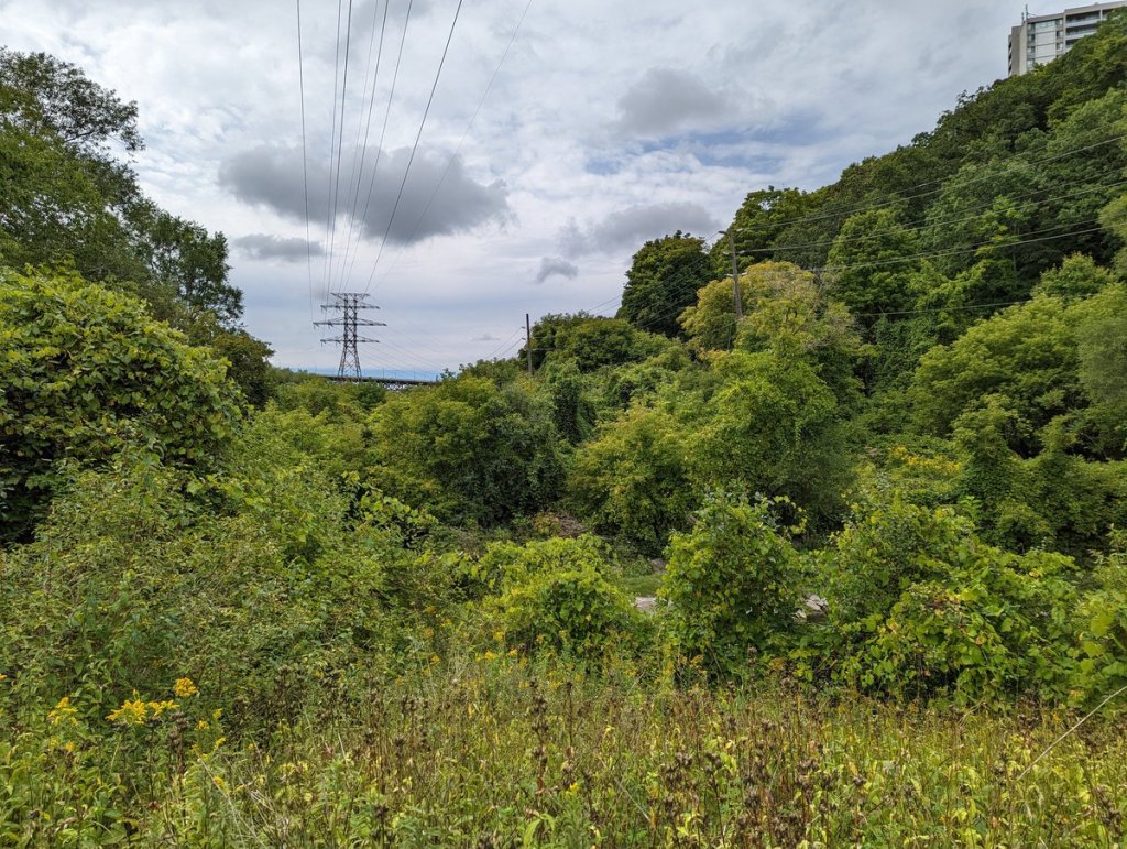
This is the east end of a hydro corridor that comes into Toronto from Mississauga. It meets a small corridor following the GO Barrie line / Beltline. This used to be a wide park but seems it’s being used for railway construction stockpiles.


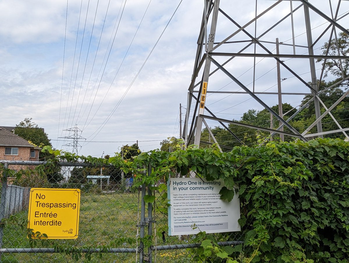
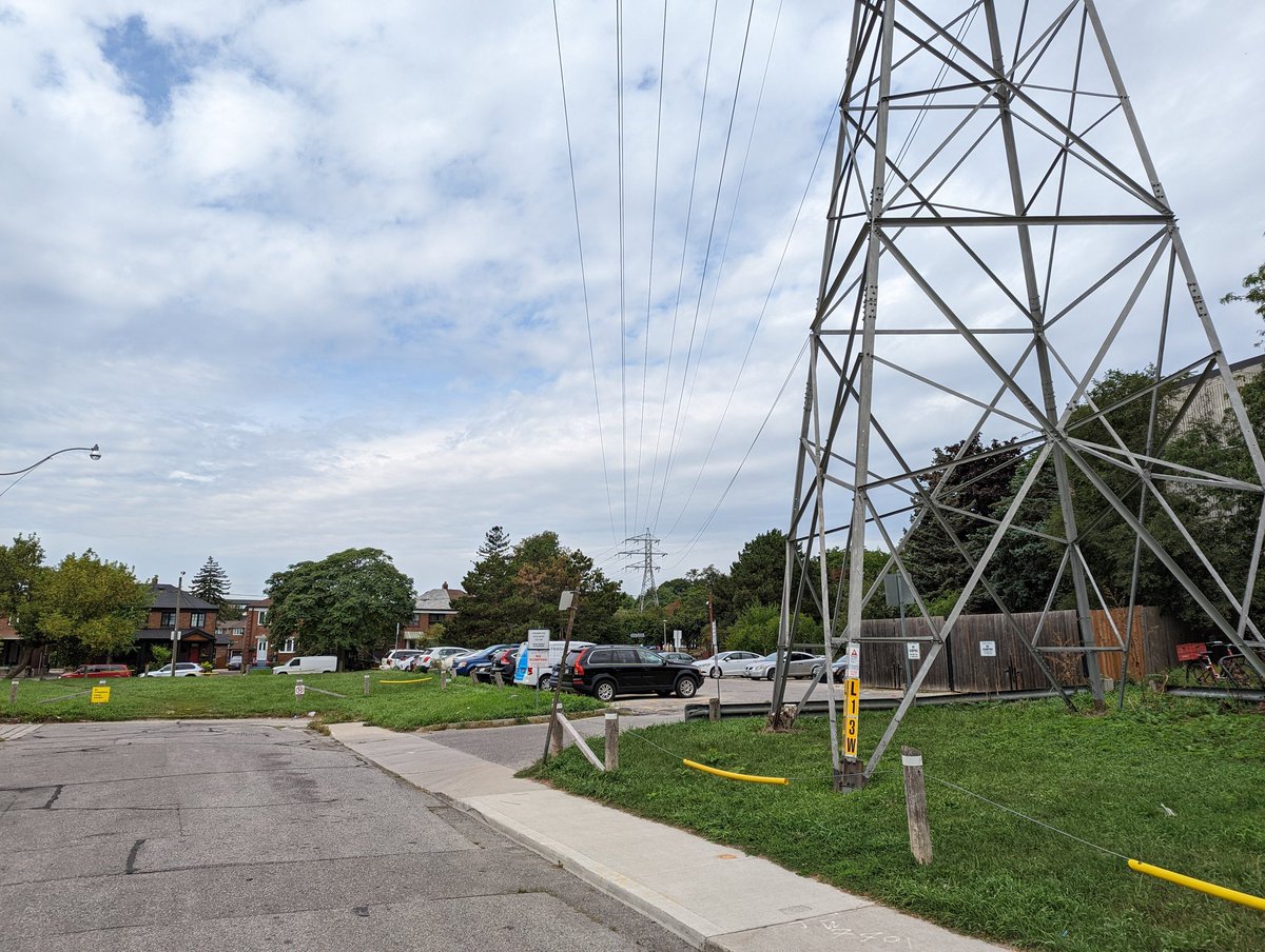
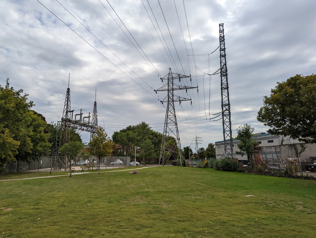
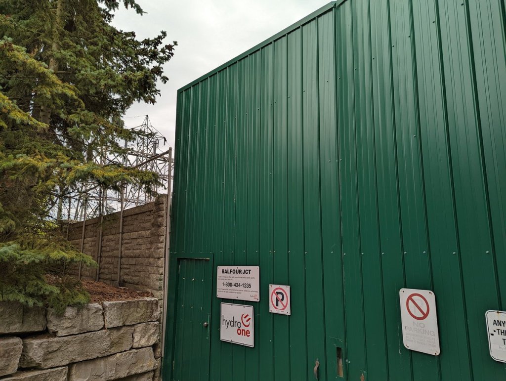
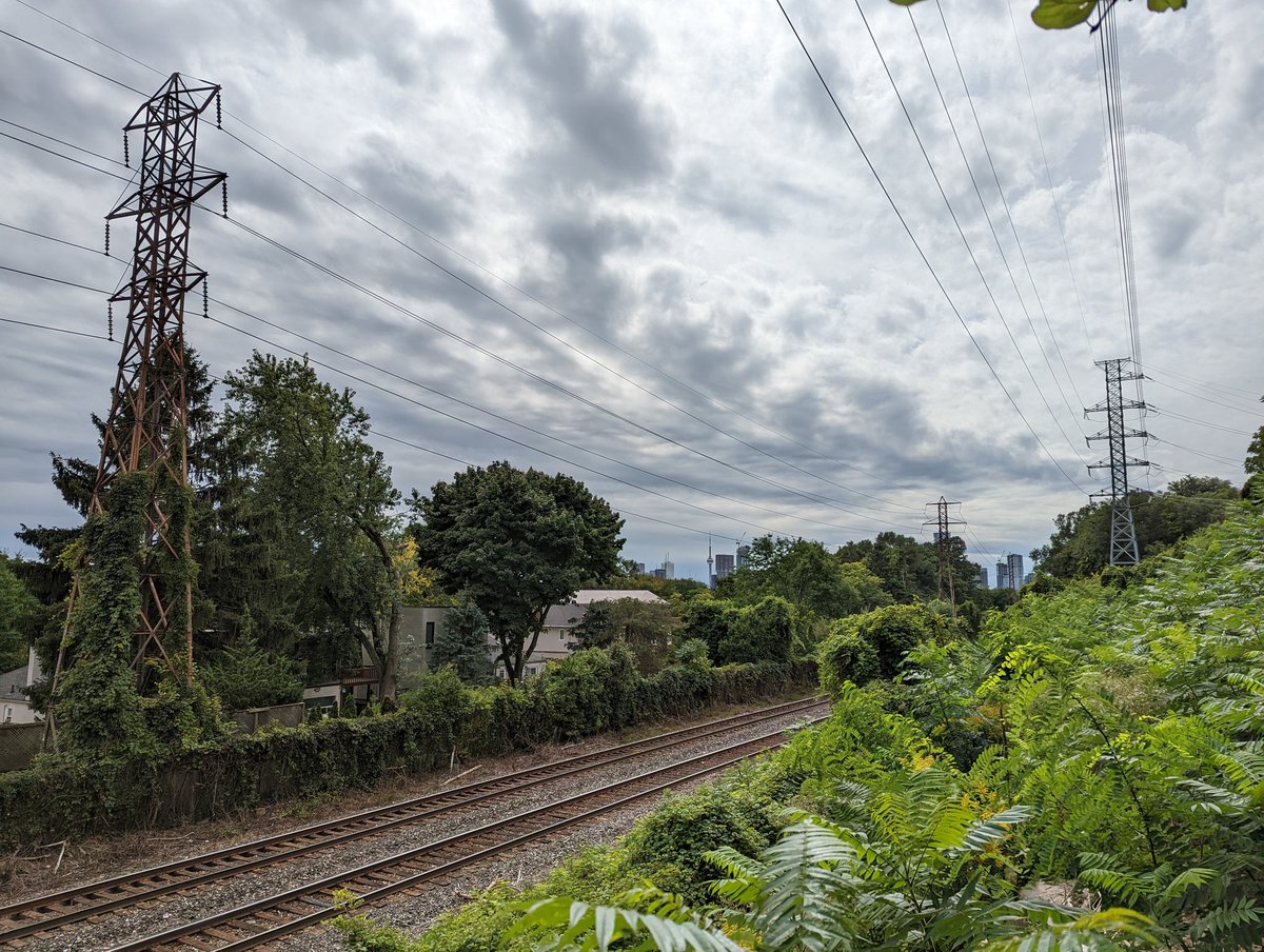
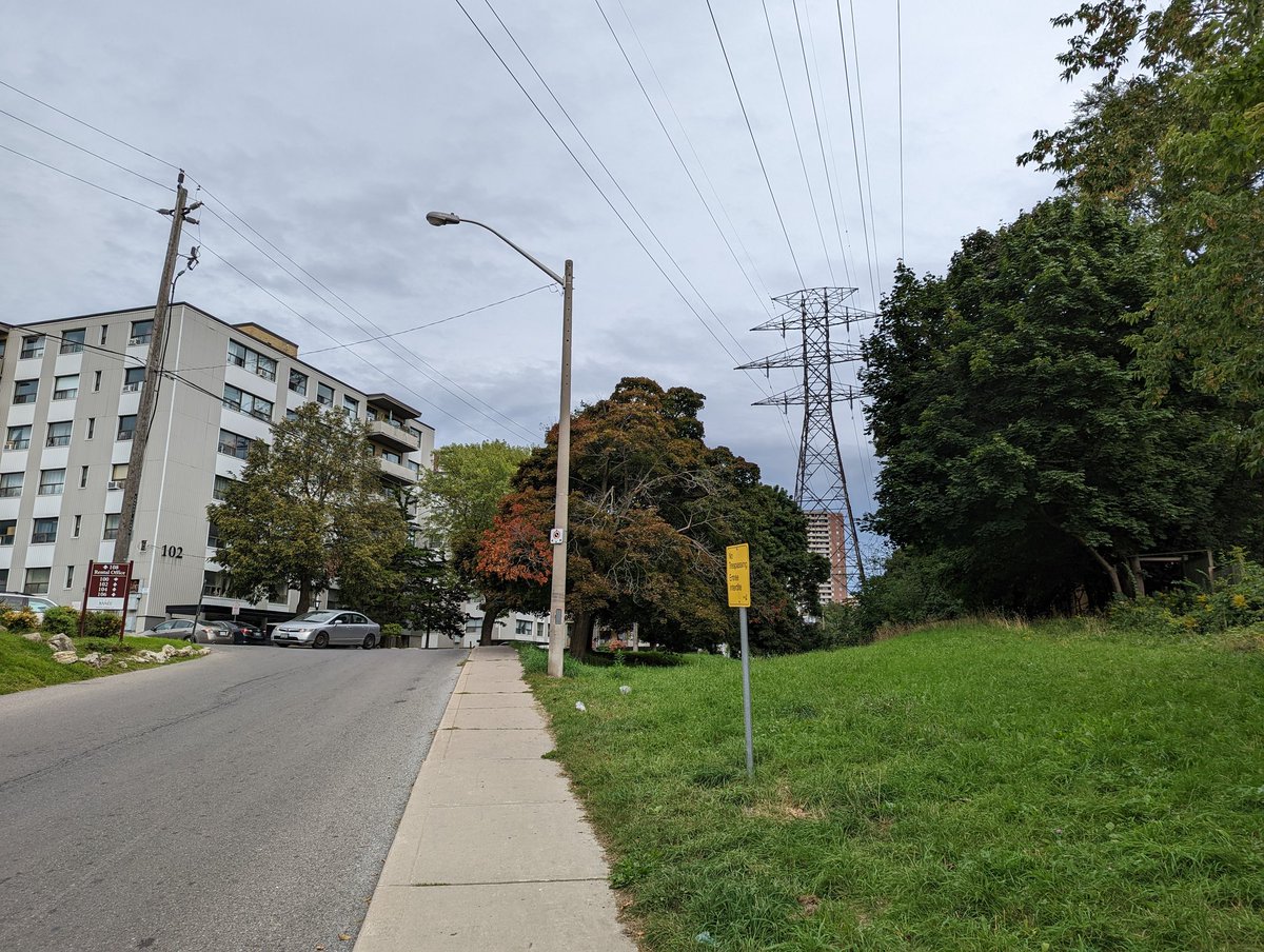
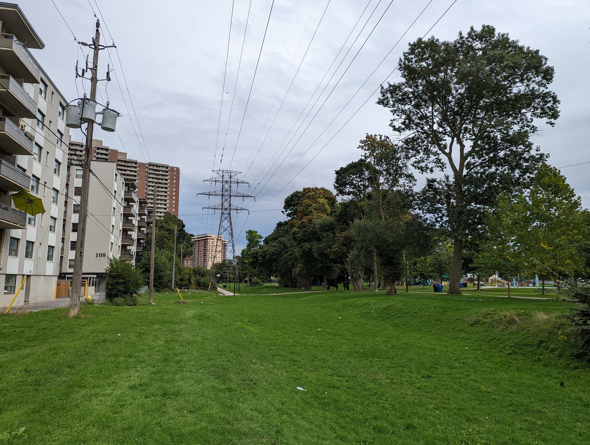
Big hydro station at Davenport, and a new hydro corridor eastwards. Looks like I picked an unfortunate time to follow, many spots are preemptively fenced off for maintenance. Unfortunate given I don’t see any work right now. Things open back up past St Clarens.


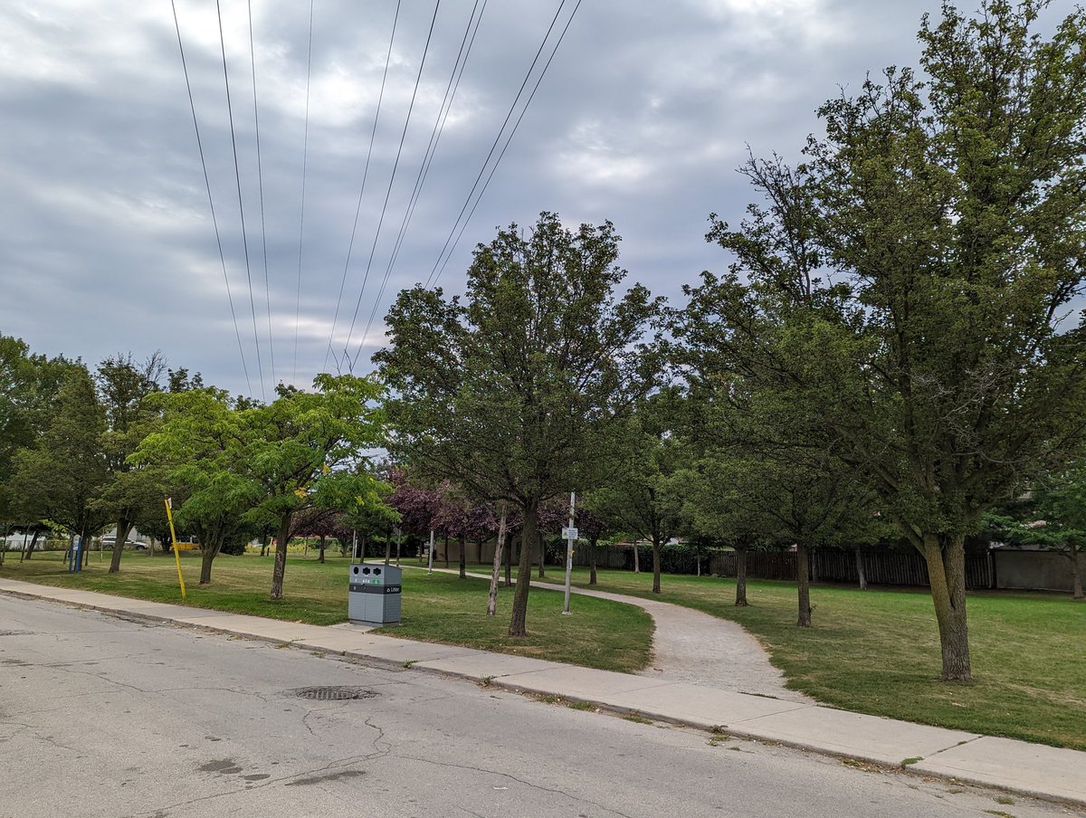
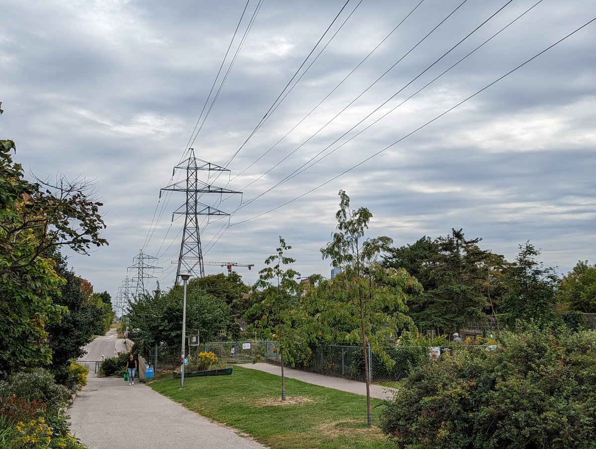
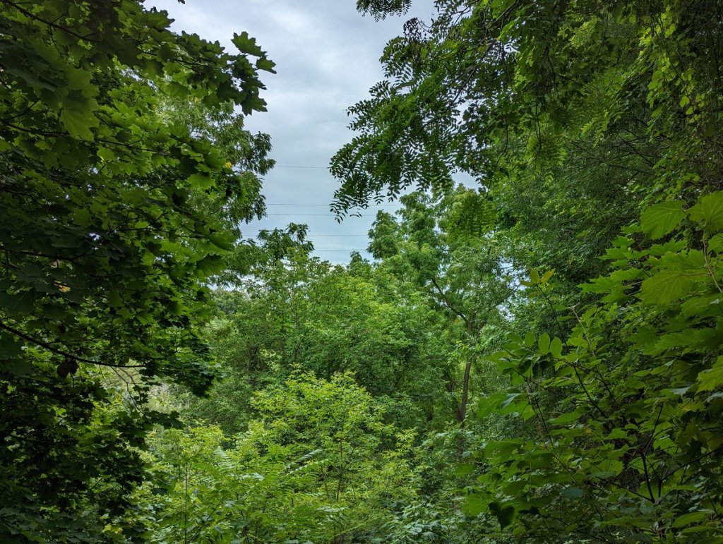
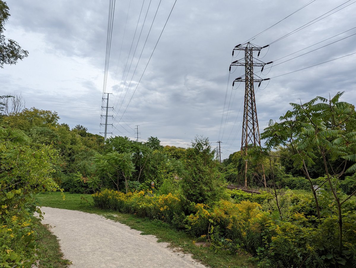
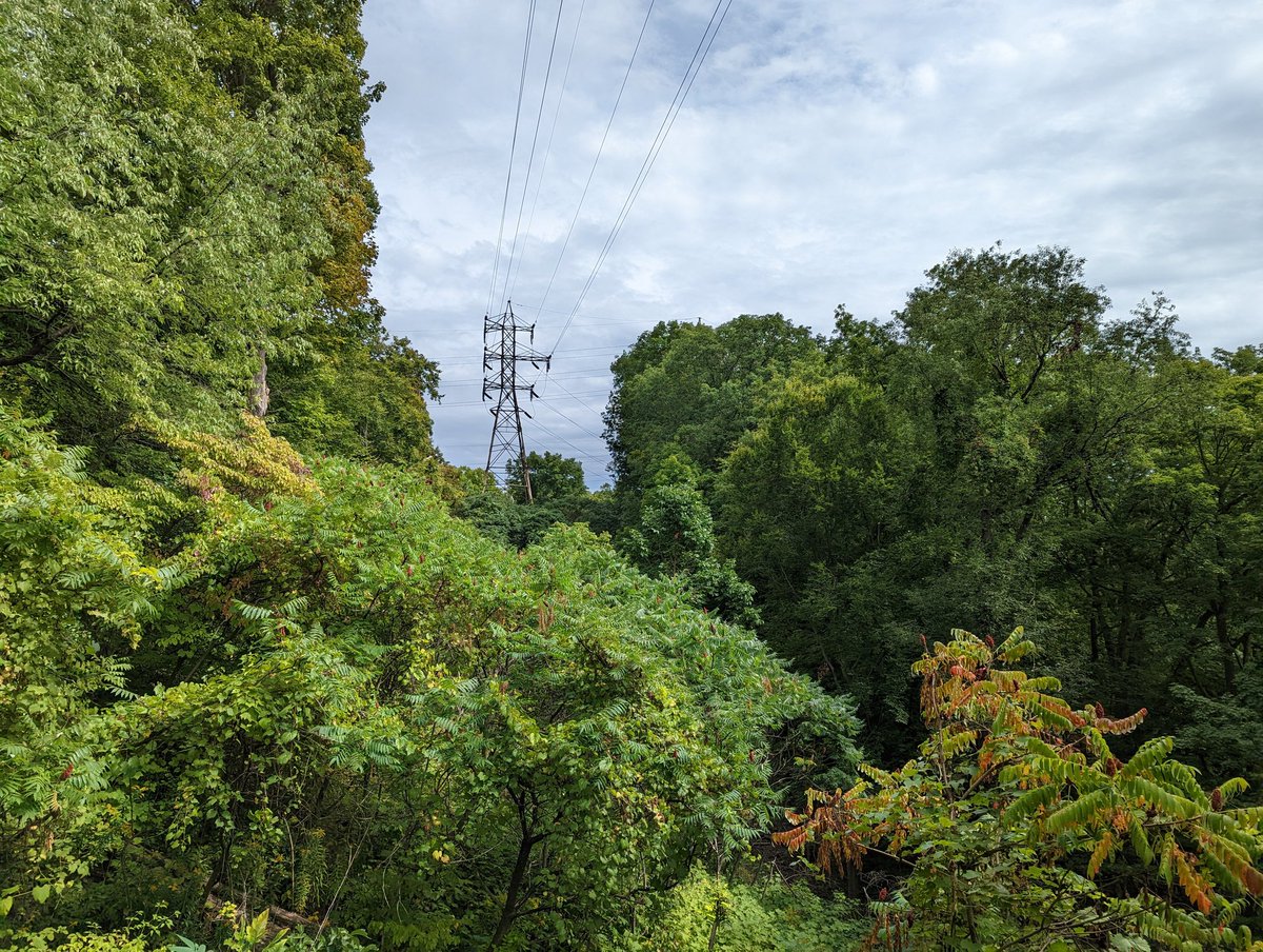
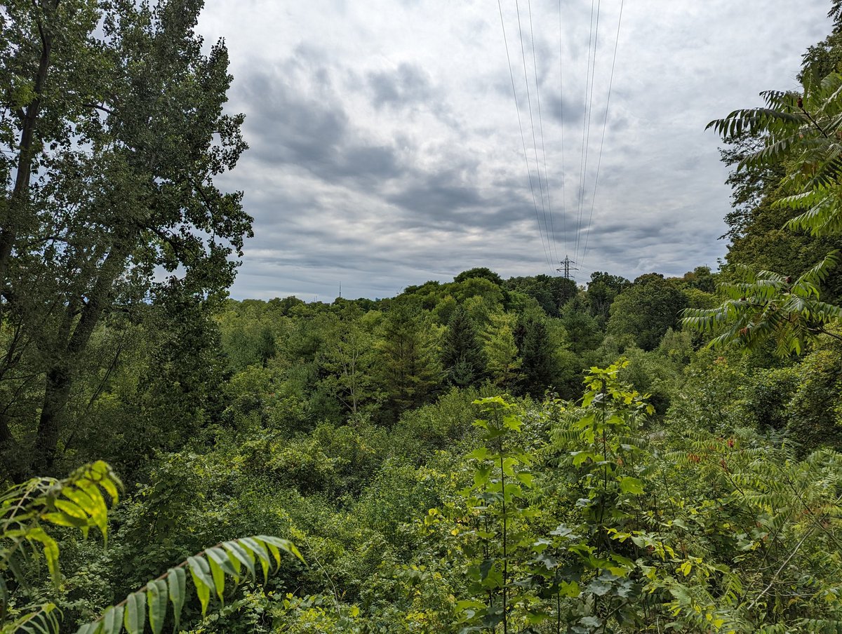
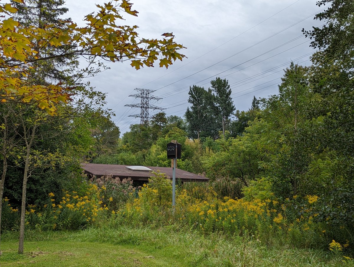
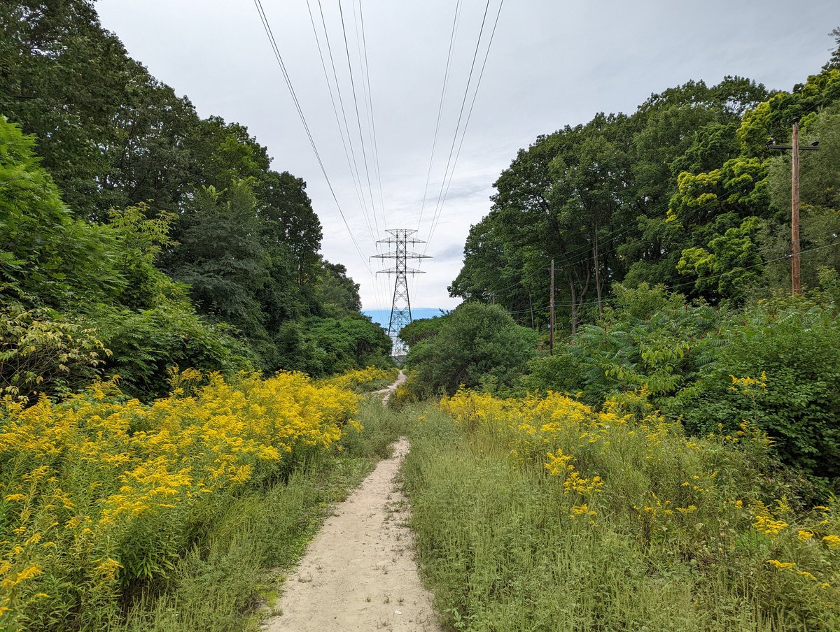
A path, and something you don’t see often in these areas: woody trees. Obviously they gotta be trimmed but they’re here, providing benefits. A couple little junction stations and some parkettes that look well used.


After being on the diagonal, the hydro lines hit Canadian Pacific’s east-west mainline through Toronto, and we straighten out with it. Part of a future Green Line vision, there’s a surprising amount of fences and roads that chop up what could be a continual green corridor.


There is good here; paths and playgrounds really make it a great space. There are some private interests that cut up the corridor, but it’s notable that the city contributes to the problem. Pack of crossings is the obvious one, but it’s also TCHC and TTC parking. Gotta detour.
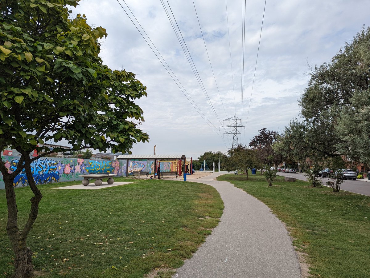


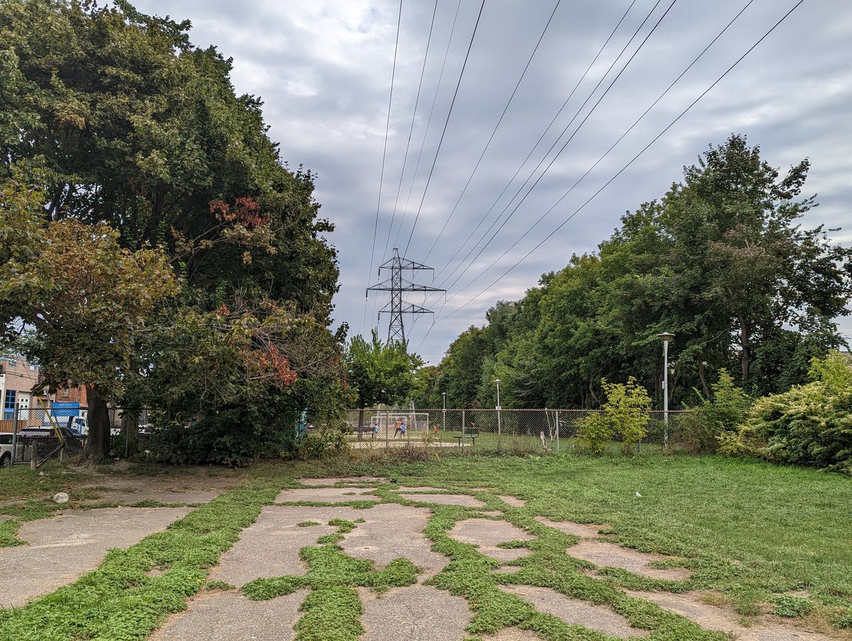
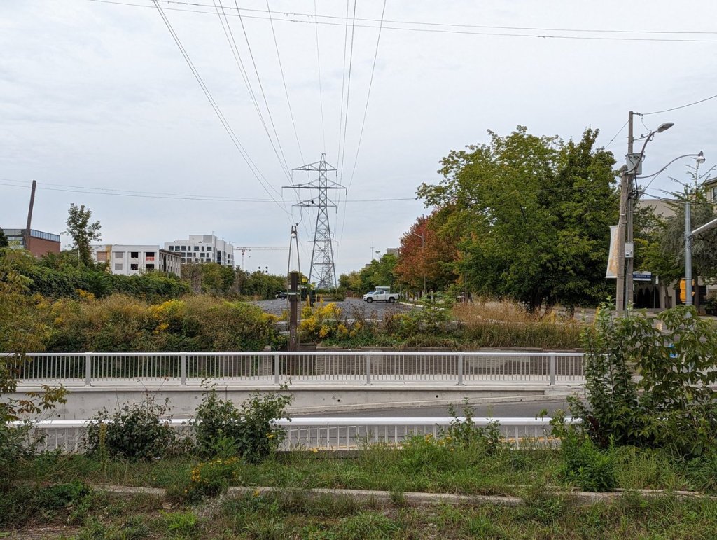
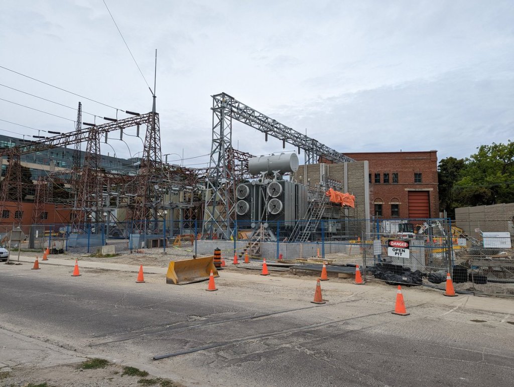
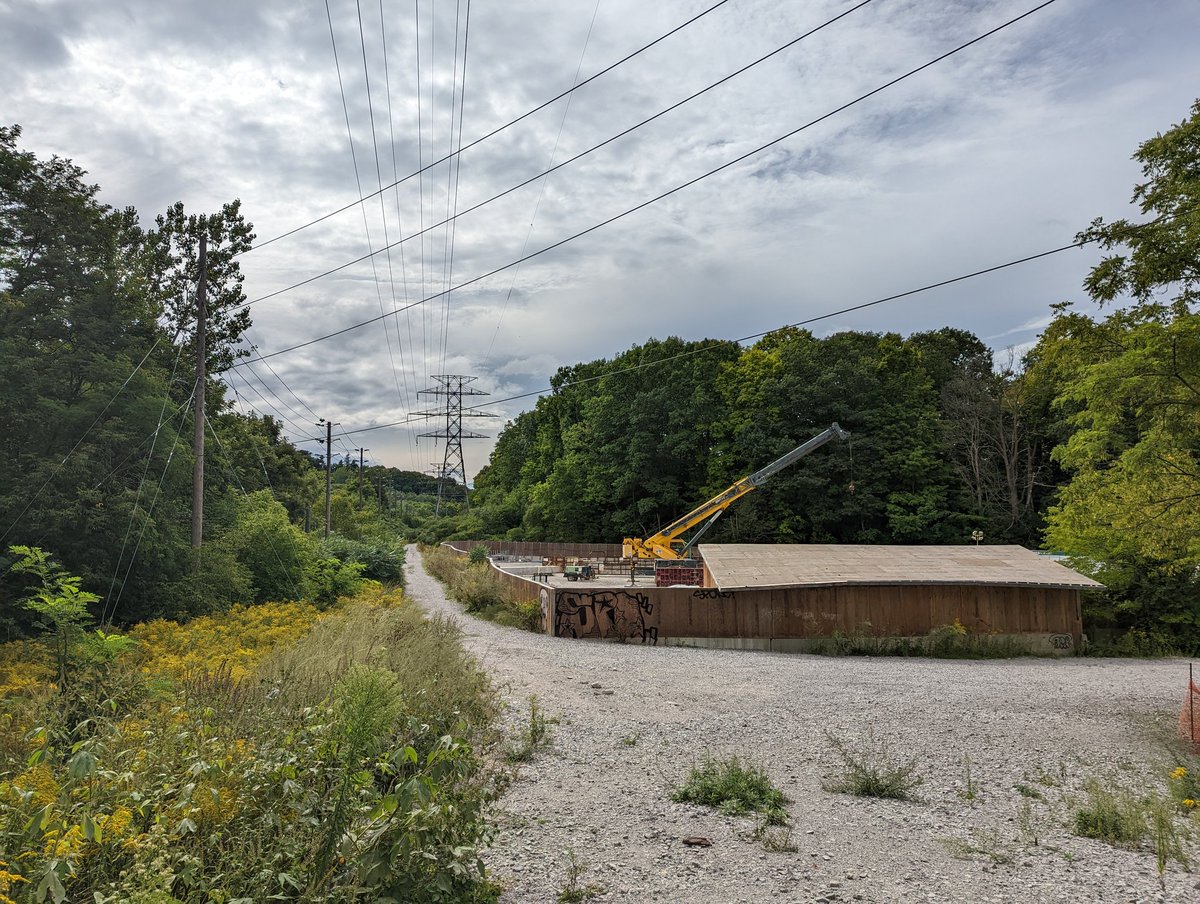
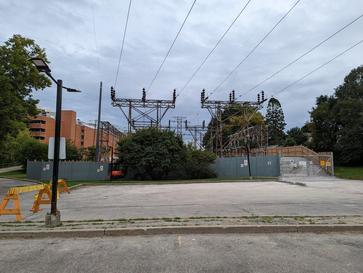
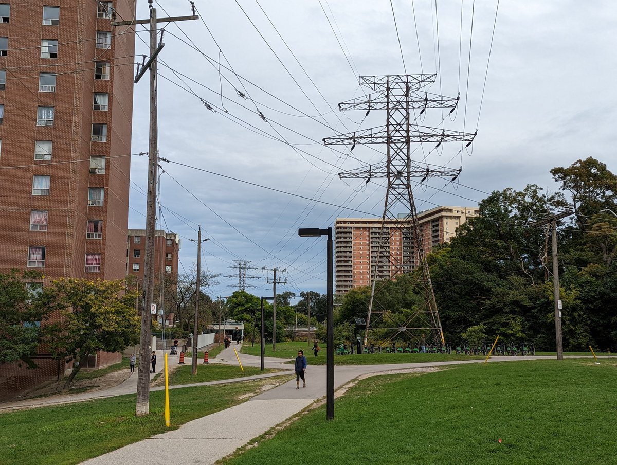
Past the TTC’s Hillcrest facility and ita car parking, there’s…more parking lots. Dark grey / black surfaces too, adding to the urban heat island. It continues to another construction staging area around a transformer station, a scramble to feed more power to the city.


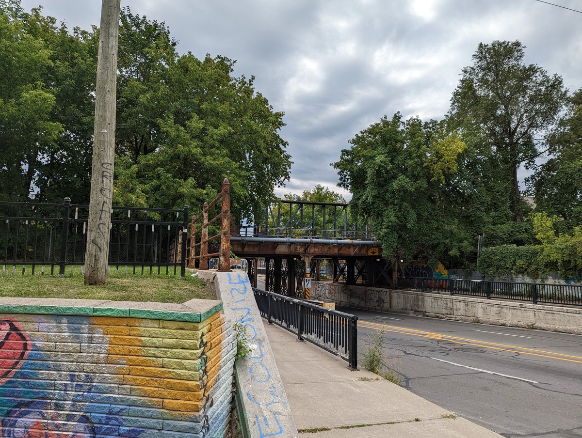
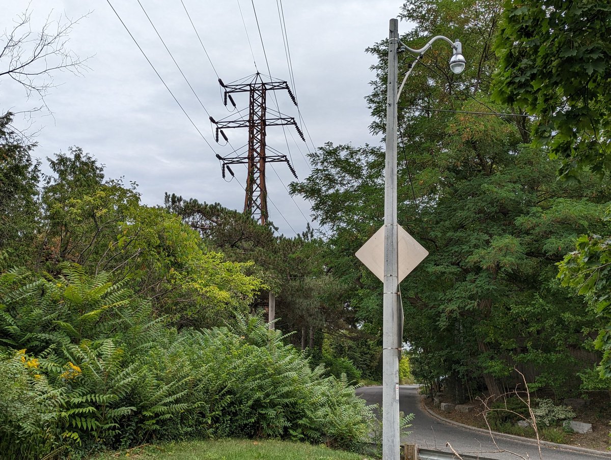
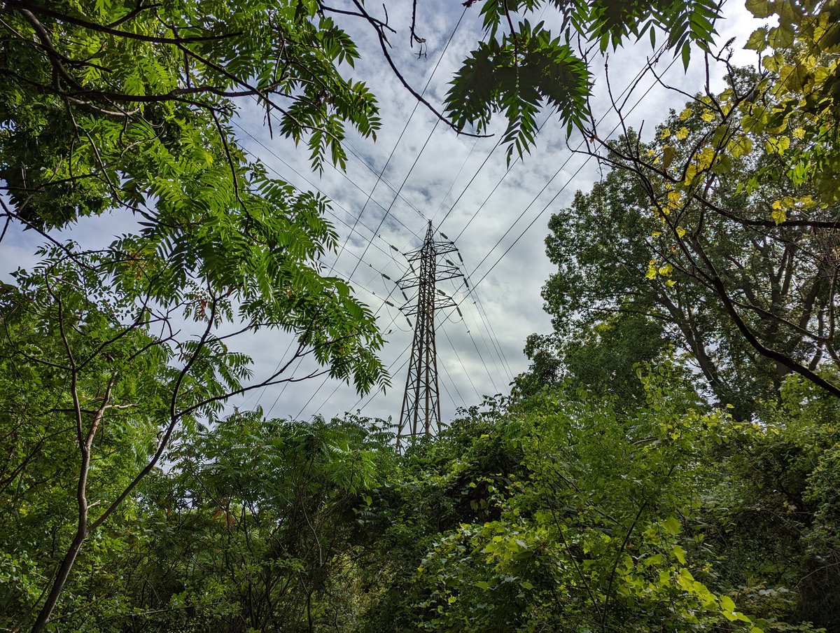
Past Davenport, the towers get tall to climb above private property. Over Avenue Road Expressway, past some fancy Summerhill homes, and to this point, where the lines go underground.


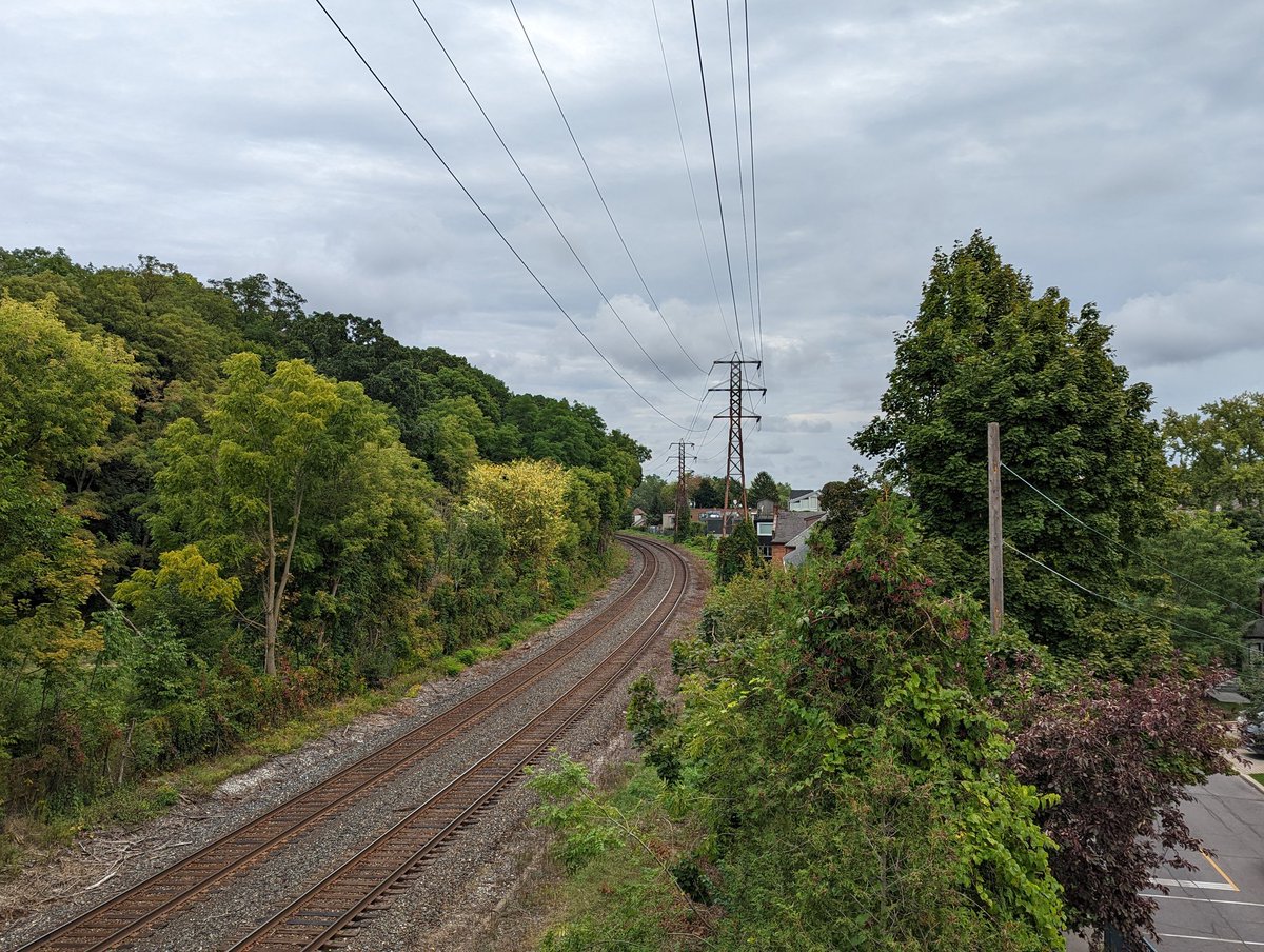
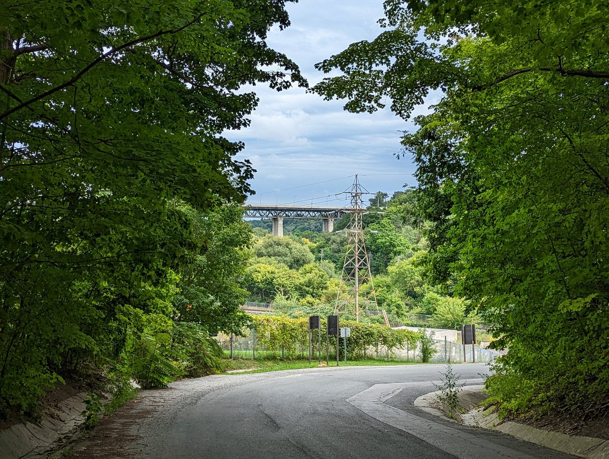
Past CP’s North Toronto Station, lines used to go above ground, kinda. It’s complicated. I won’t dive into the intricacies of how the lines used to be and how they split now, mostly cause I may get it wrong. For now, there’s another station here on the bank of Yellow Creek, and the corridor continues over the valley, and east parallel to CP’s tracks.

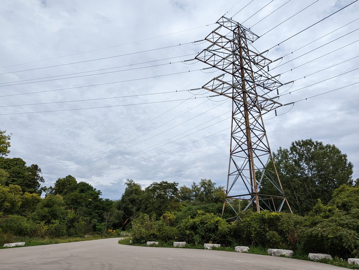
Past Mount Pleasant and through Rosedale. The corridor is still skinny and tight, tucked up against the rails.
Over Mud Creek and into Governor’s Bridge. Remember I said it was complicated? Yeah. So there’s two corridors, on each side of the tracks. We followed the south one, the north one pops out west of Bayview. They both go into the Don Valley.


Crothers Woods, a former dump. All of the hydro lines jumble together here, as it’s where the two Midtown corridors and a third along the Lower Don Valley all meet together. They all stem from one major hub into the city.

I will not make it up the hill to said hub, the Leaside Transformer Station. Rather, I’m taking the low way across the Don River, Bala Sub and the Parkway to get to another corridor cutting across the city.


It’s hard to tell from here, on the trail south of the river and the tracks, but the second corridor connects to Leaside TS underground and pops out in the valley. It crosses the trail and Parkway due east.

After a long detour, partly driven by combined sewer intercept work, we’re back on corridor. This corridor is parallel to Taylor-Massey Creek, and there’s a better trail just down the hill. The hydro trail just leads you into mucky wetlands. I turned around, it’s not worth it.


After cruising down the Taylor Creek Trail for a bit, we’re back on corridor again near Stan Wadlow Park. The trail is wide and dry.


If Scarborough has the Meadoway, this is the Forestway. It’s pretty thick in here, helped by the fact that this isn’t live, if recent hydro planning documents are accurate.


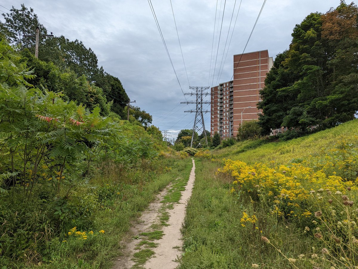
Past Lumsden Junction, and into Crescent Town. The hydro towers sail past high rise apartments to Victoria Park station. This marks the end of today’s walk.
Date: September 11, 2022
Length: 20.9 km
Type: Utility
Related Walks

Hydro corridor continued to the west
Crosstown Southwest
Sibling hydro corridor and intersecting rail line to the north
Beltline


Parallel rail line
CP Midtown
Intersecting hydro corridor to the northeast
West Gatineau Hydro


Parallel creek southeast of the Don Valley
Walmsley / Taylor Massey I
Hydro corridor continued to the east
Scarb Utility