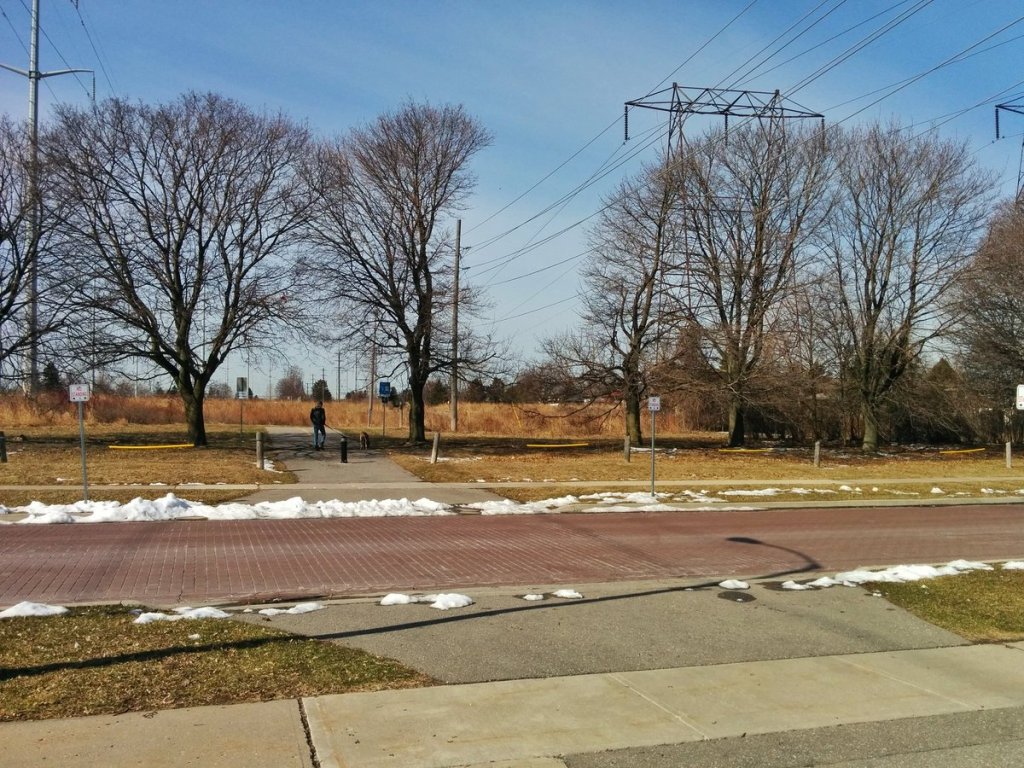
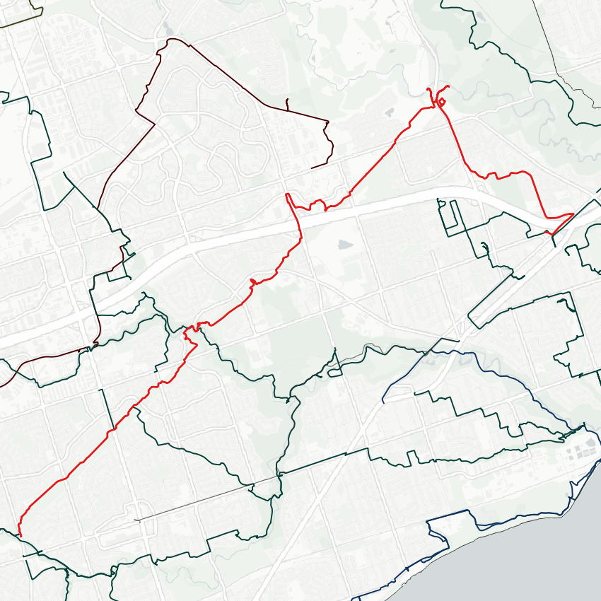
Alright. Today I’ll be checking out the east Meadoway, starting near McCowan and Lawrence. The Meadoway is already implemented here: there’s established meadow habitat maintained by the the conservation authority, and a multi-use trail with crossings.

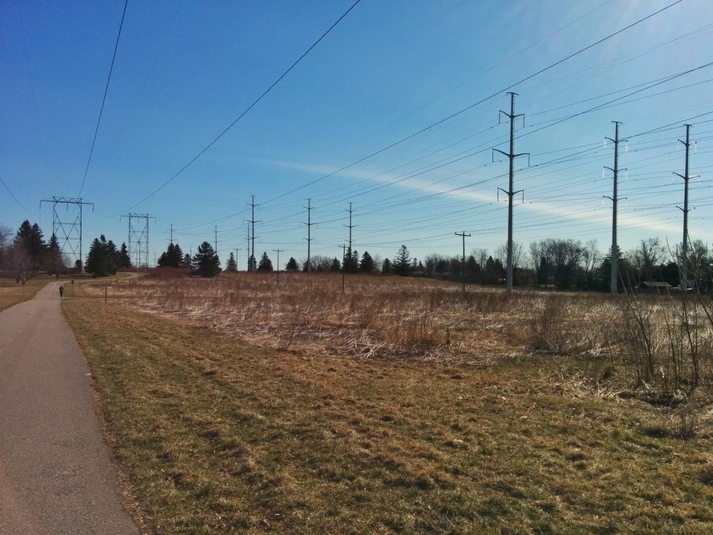
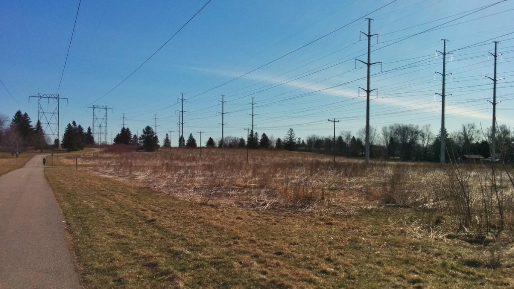
Seriously, after walking the west part of the Gatineau Hydro Corridor, which is mostly grass, I thought the Meadoway was going to be a corridor-wide implementation. Truth is it’s an extension of what exists between McCowan and some point northeast of here.


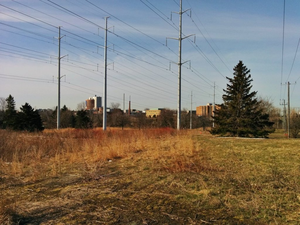
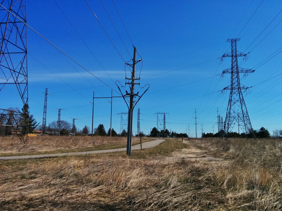
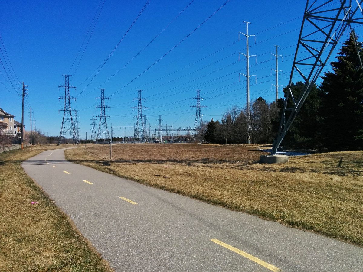
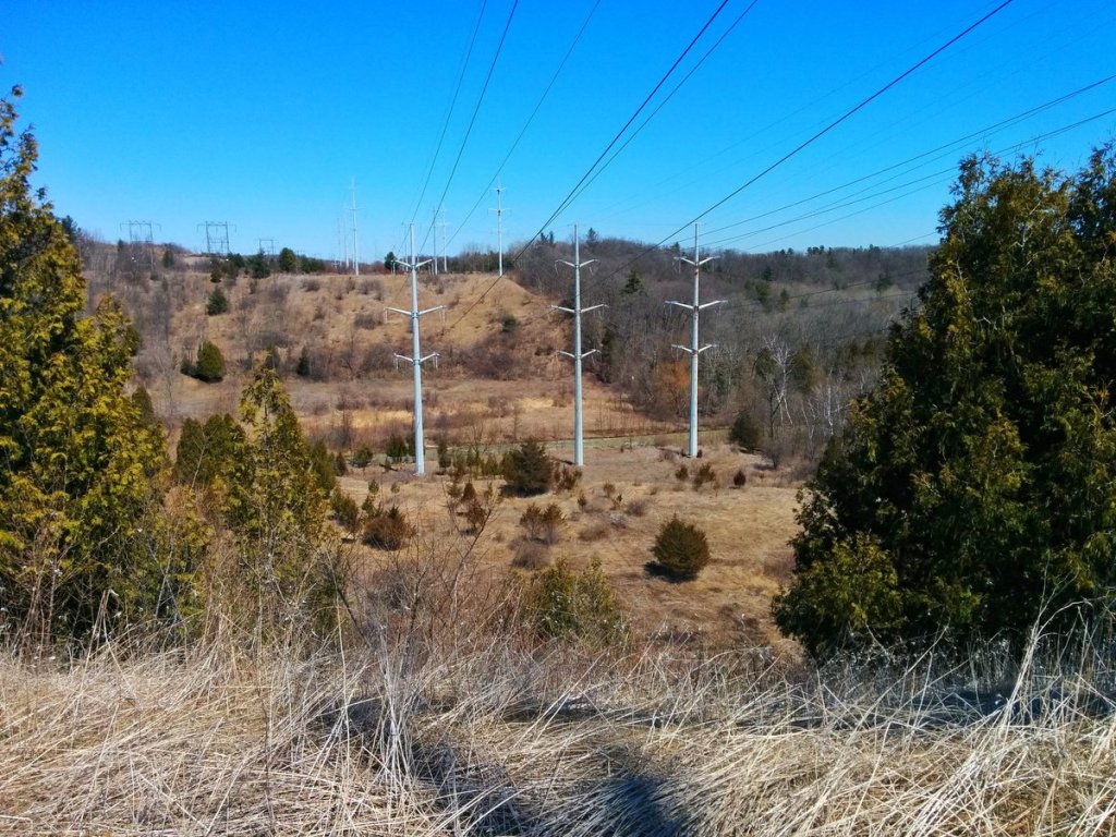
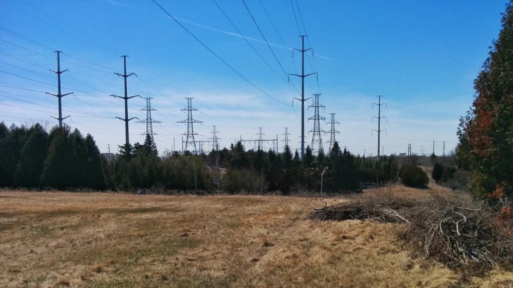
That point is southwest of Ellesmere and Orton Park, a step down area where some provincial lines drop to local distribution for Scarborough, and some of that is sent to a substation for local distribution. Don’t know what improvements can occur here, but it’s perfect for a wetland.


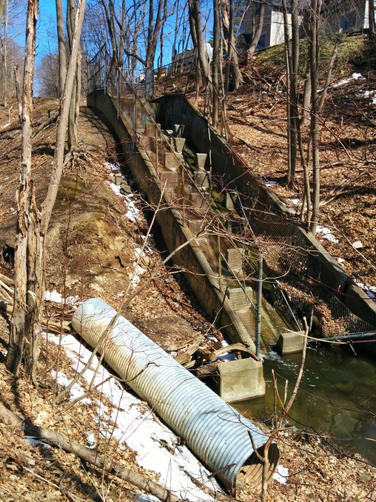
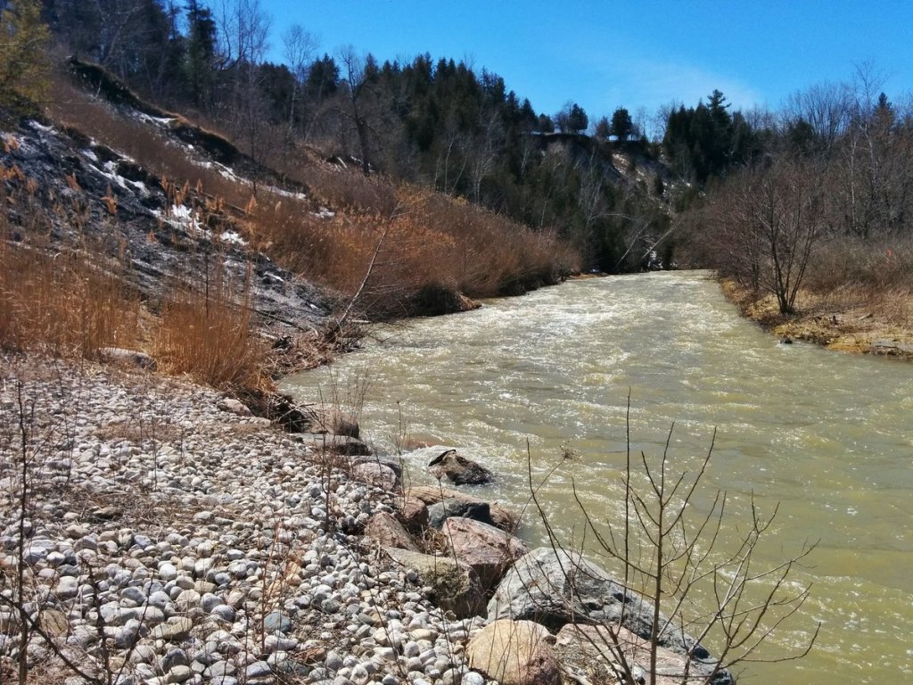
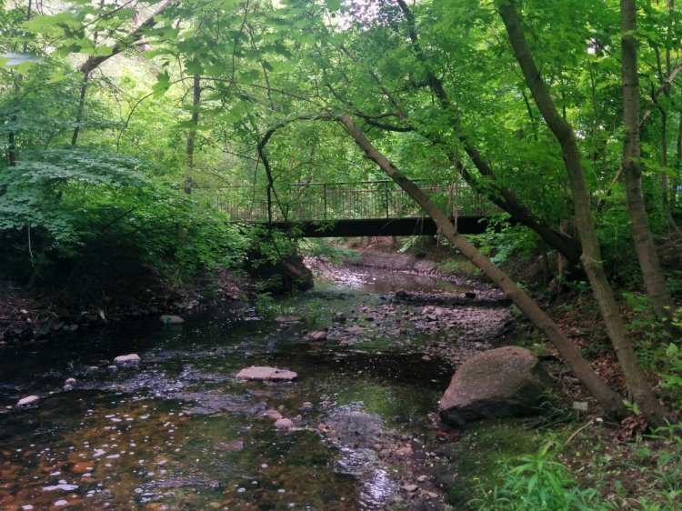
North of Ellesmere, a big barrier: East Highland Creek. There is a small trail on the west bank, just not well established.


There are some serious erosion issues along this stretch of the East Highland. After fighting along a light footpath, I would obviously prefer a direct bridge along the Meadoway here for ease of access, but it may prove necessary for public safety and ecological integrity here.


A second ravine, and a second barrier. It’s a tributary of East Highland, and in fact, I didn’t anticipate this being very difficult to cross. I almost fell down the valley wall, and had to follow not foot paths, but deer paths to get out.


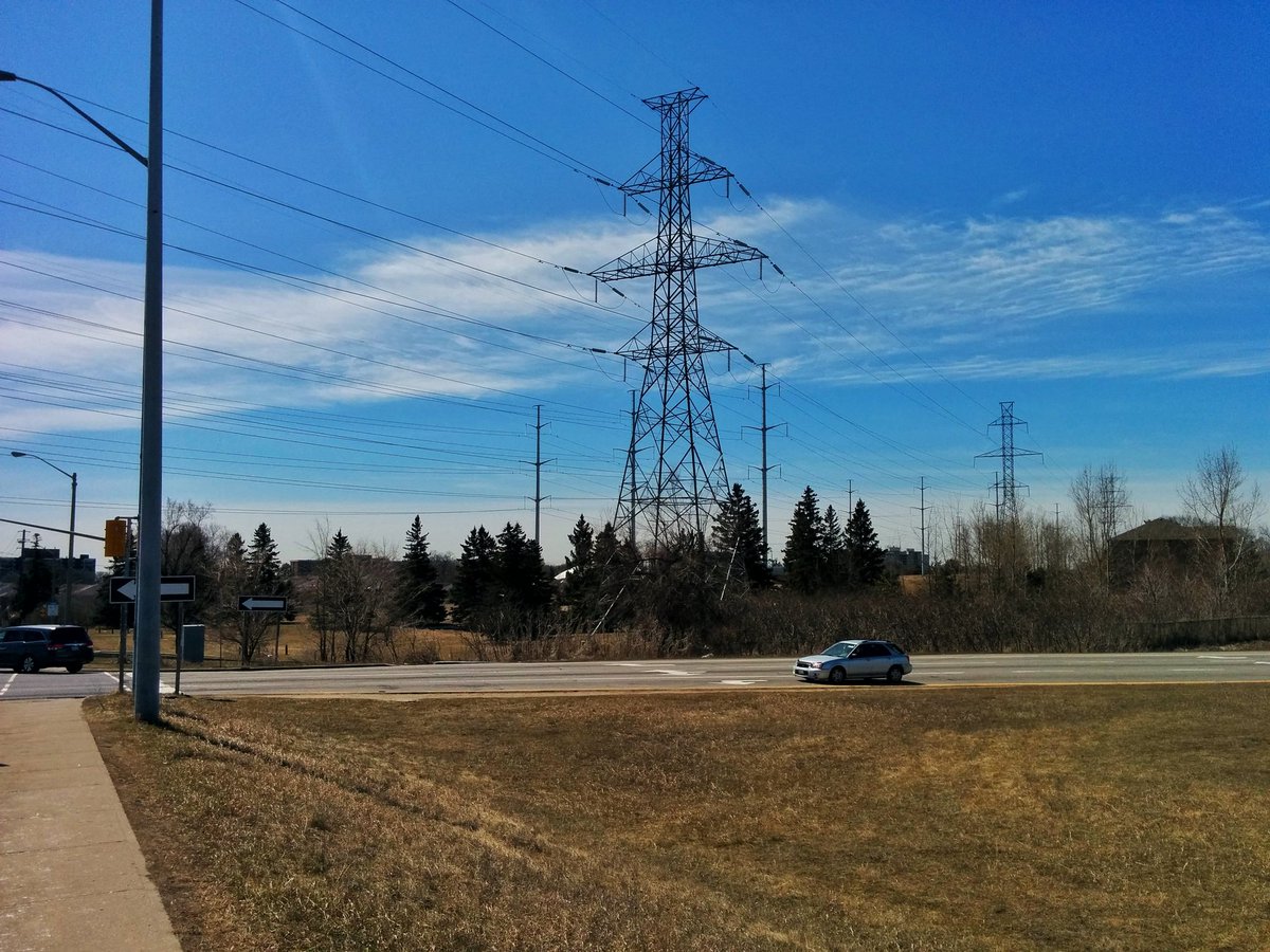
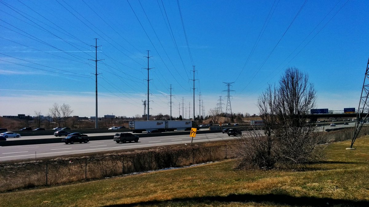
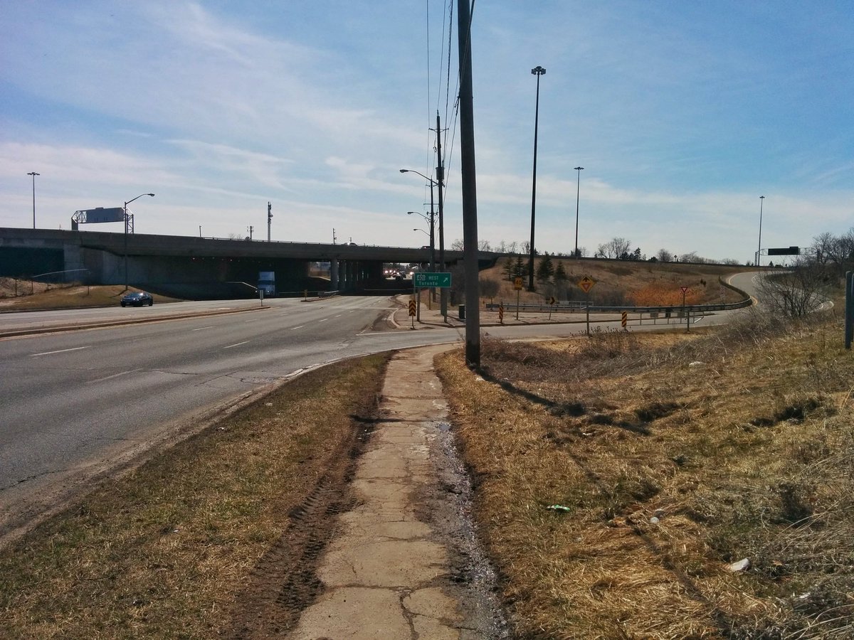
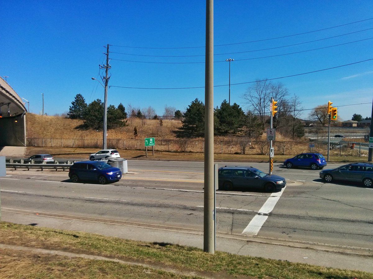
And then, the barrier that’s more obvious: Morningside at the 401. 13 lane freeway interchanging with a 6 lane arterial, not including collector-express transfer, merge lanes, or ramps. Bit of a hoopla to get around.


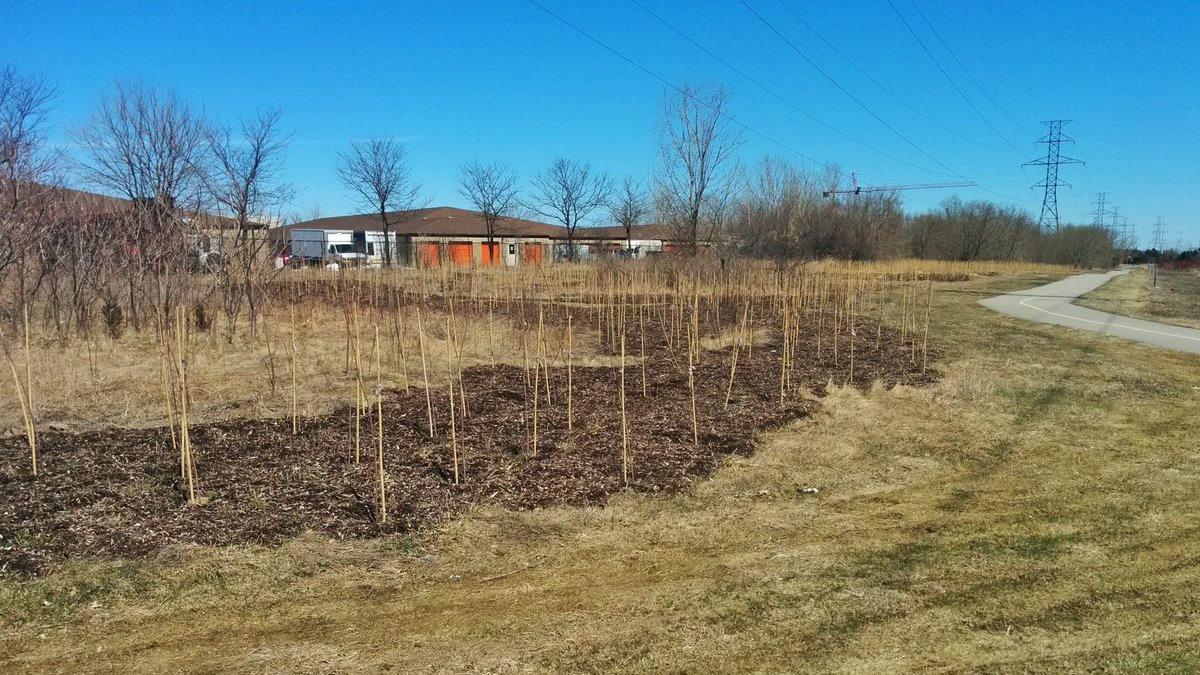
Past Conlins, the meadows start again, or are a work in progress. North of Sheppard, another substation interrupts things.


Eventually the trail comes to the east boundary of the Meadoway (the scope they set for it anyway), at Meadowdale south of the zoo. A utility road leads you to the Rouge.
East of the Meadoway, the Gatineau Corridor enters Rouge Park. It’s unfortunate the trail does not extend further east; a connection over Meadowdale and the Rouge River would link up with a couple excellent trails along the east side.


Capping off this walk by cutting through an open space greenbelt. They are mucky and garbage-ridden woody wetlands, which could use proper trails and a little TLC.


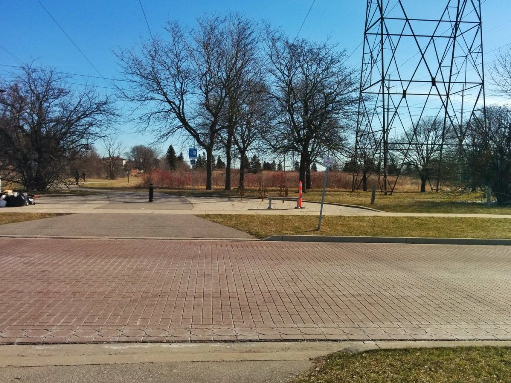
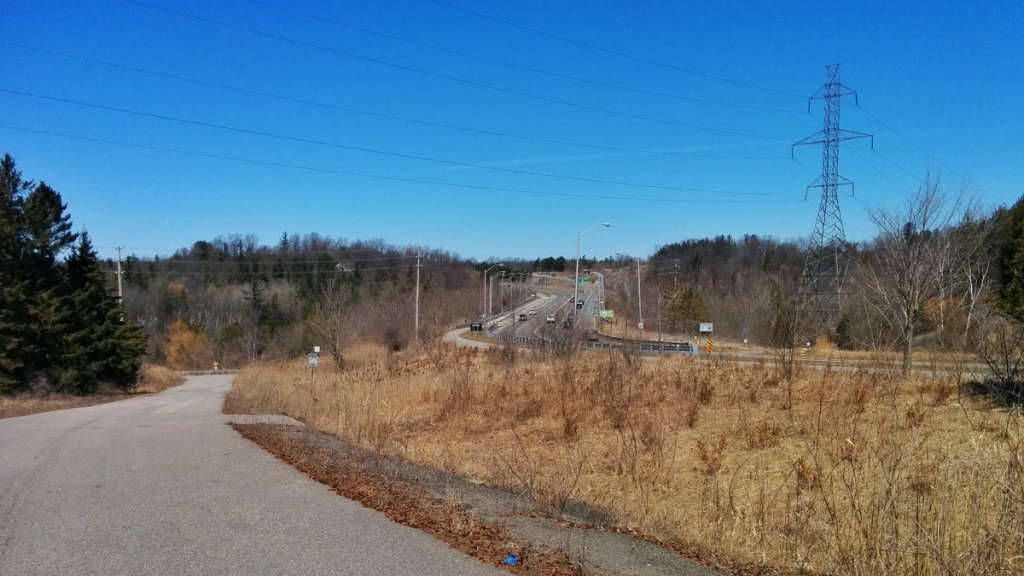
After navigating around the pedestrian-unfriendly monstrosity that is the Highway 401/Highway 2A/Kingston Road interchange, I come to catch the bus at the end of this cul-de-sac.


Date: April 21, 2018
Length: 16.1 km
Type: Utility
Related Walks

Meadoway continued to the west
East Don and West Meadoway
Intersecting creek upstream of the corridor
West Highland I

Intersecting creek (II) downstream of the corridor
Lower Highland II
Intersecting creek (III) downstream and branch upstream
East Highland II


Intersecting creek (III) upstream of corridor
East Highland III
Cutting river downstream of river
Rouge River I


