Tracing one of the most famous lost rivers today, Garrison Creek. There’s lots of info out there, I won’t pretend to be an expert. Just going for a first hand view.
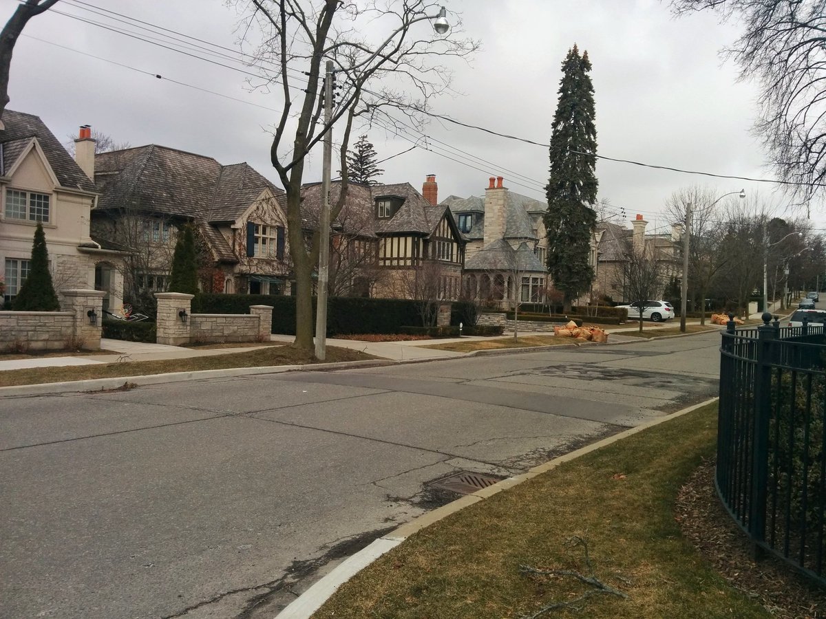
Started quite far east of the headwaters. Walking through Cedarvale, with mansions and intersections in need of neckdowns. Then crossing another lost river, Castle Frank Brook.

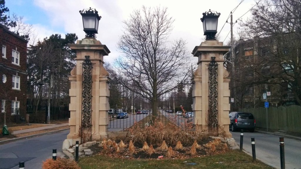
Through the gates of Claxton and across Vaughan Road to the historical headwater. This is interesting because Garrison Creek isn’t part of the Don or Humber watersheds. It starts a split between them, one of a bunch of smaller subwatersheds that flow straight into Lake Ontario.
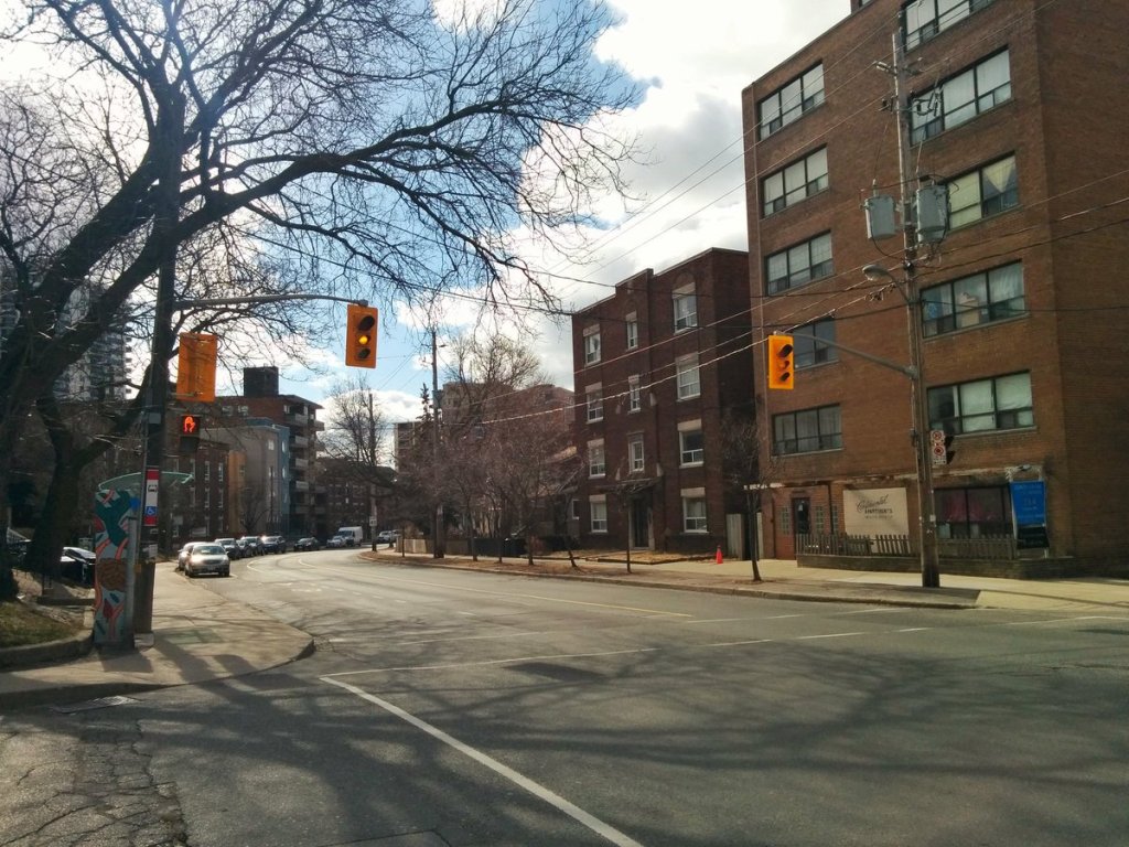
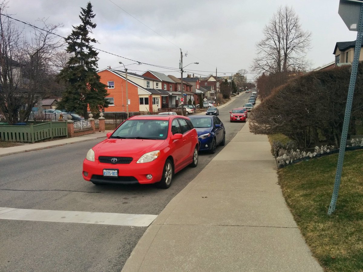
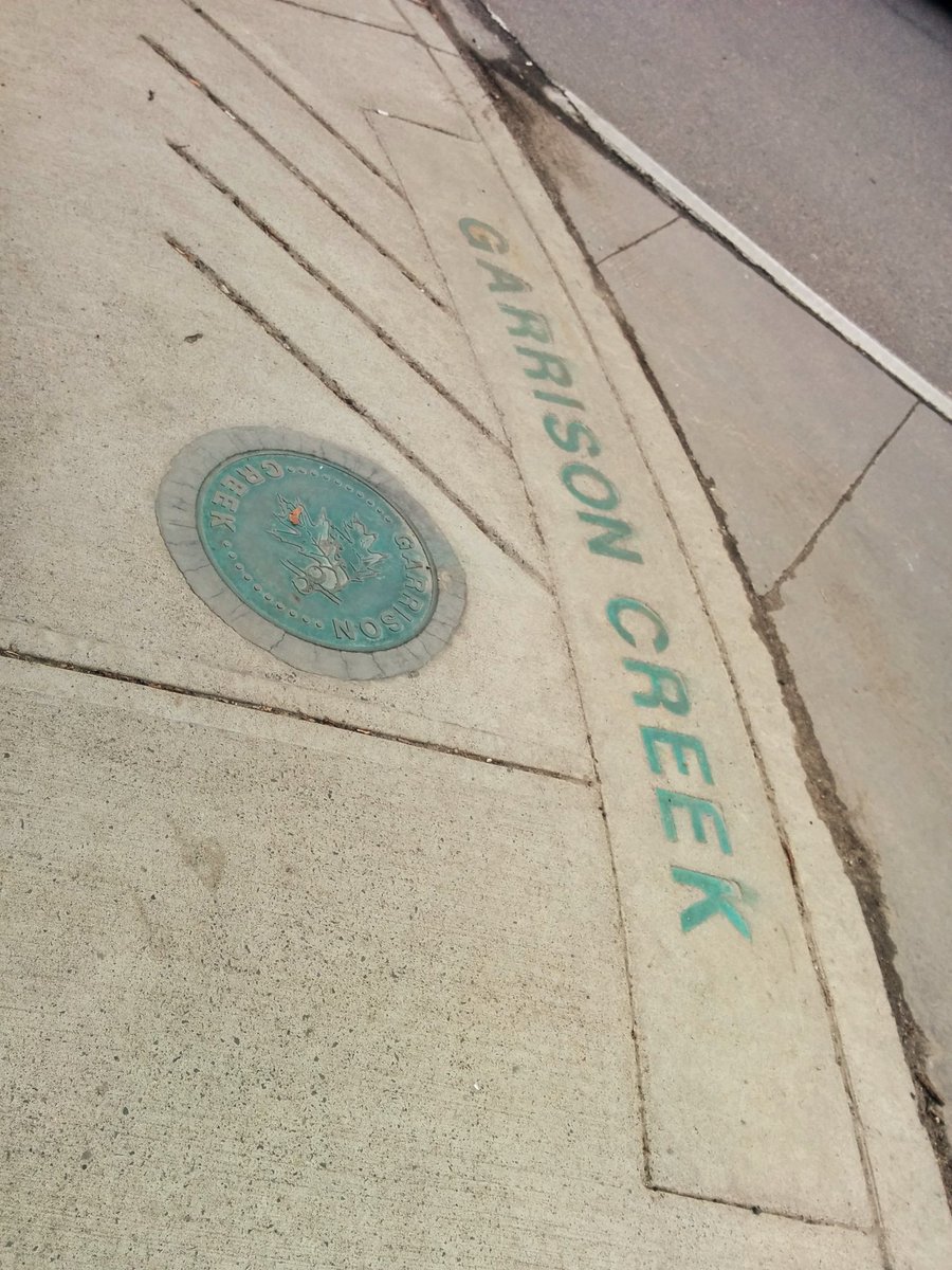
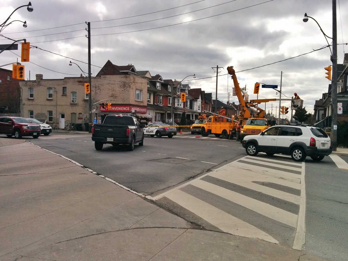
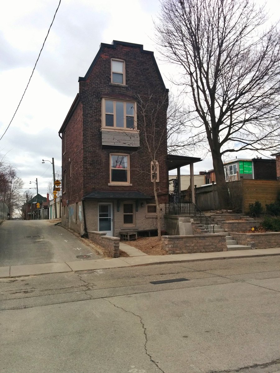
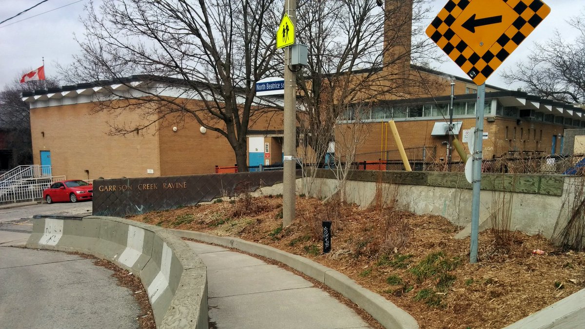
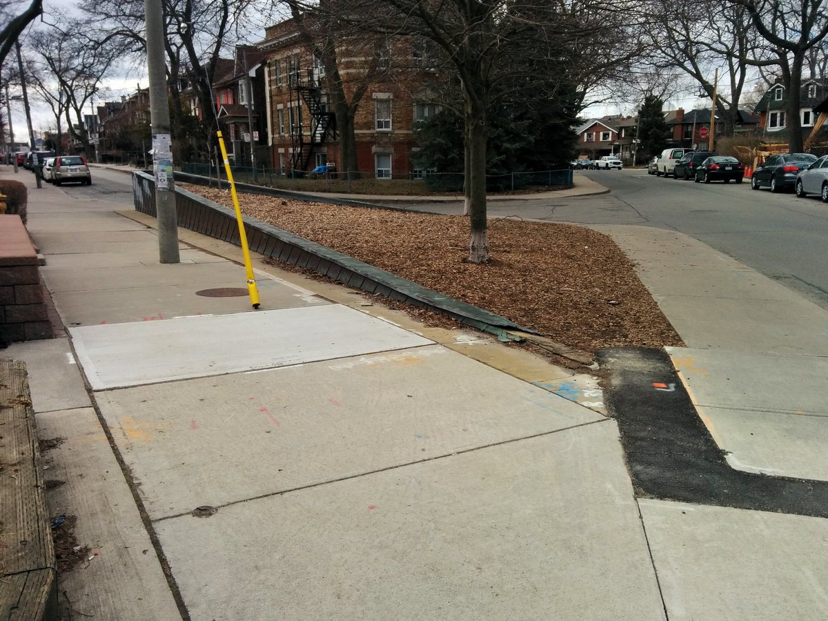
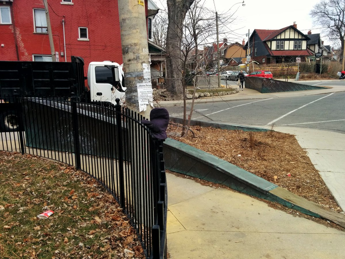
As with any lost river, it’s a zig zagging maze through residential neighborhoods. But the landscape makes it obvious, and there are markers!
Pave paradise, and put up a parking lot. Or make a parkette.


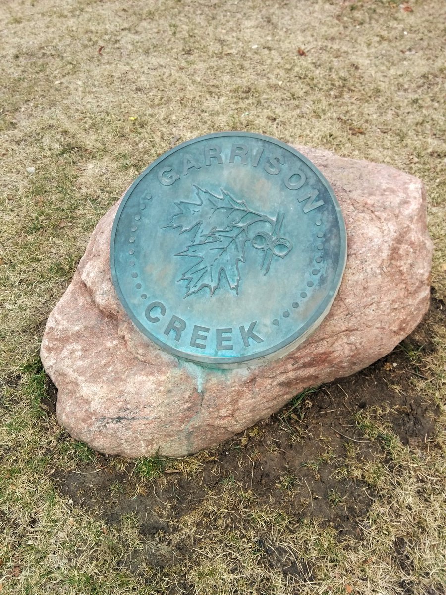
Another marker. Reoccurring scene. Detour required.
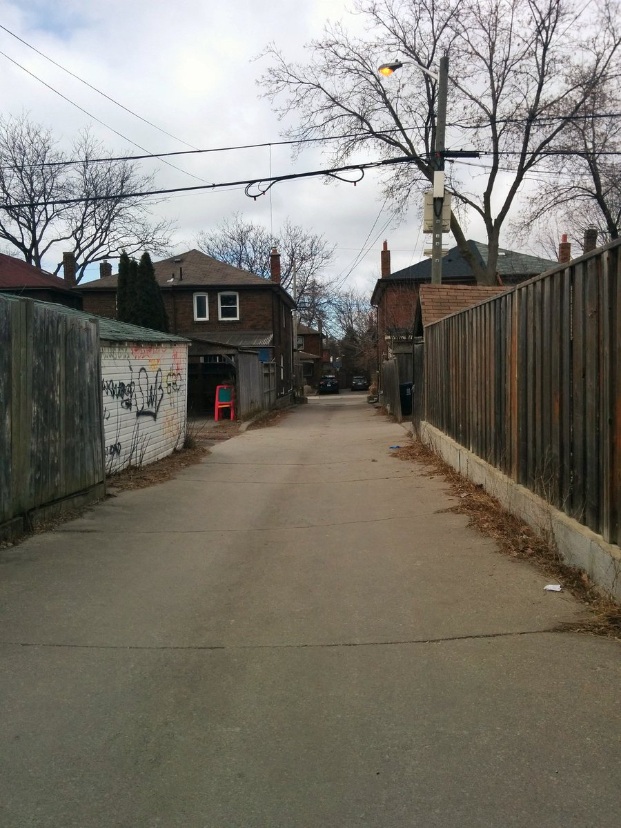
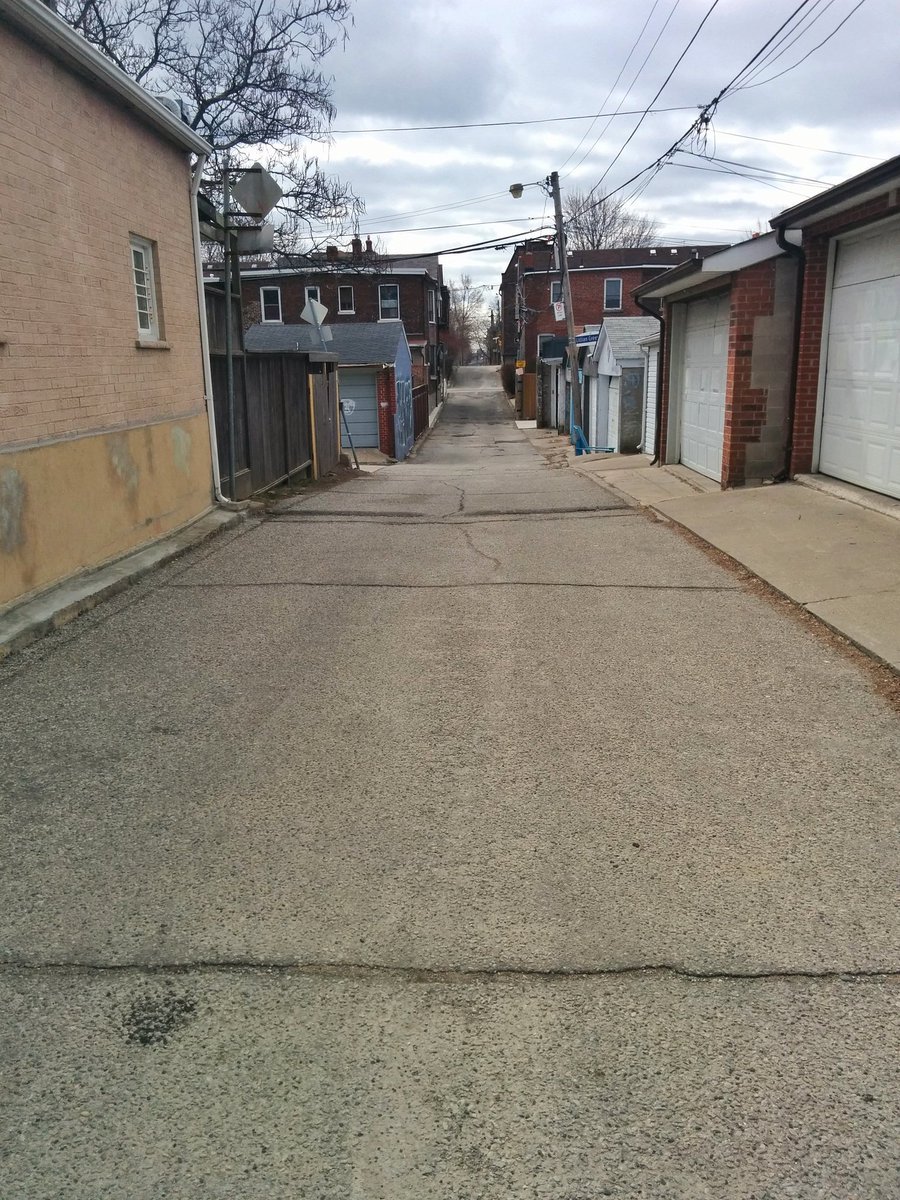
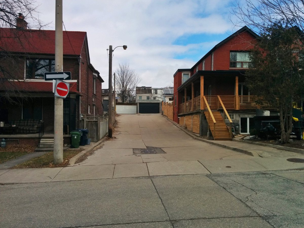
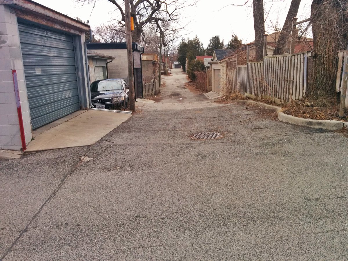
This lost creek follows a lot of alleyways.
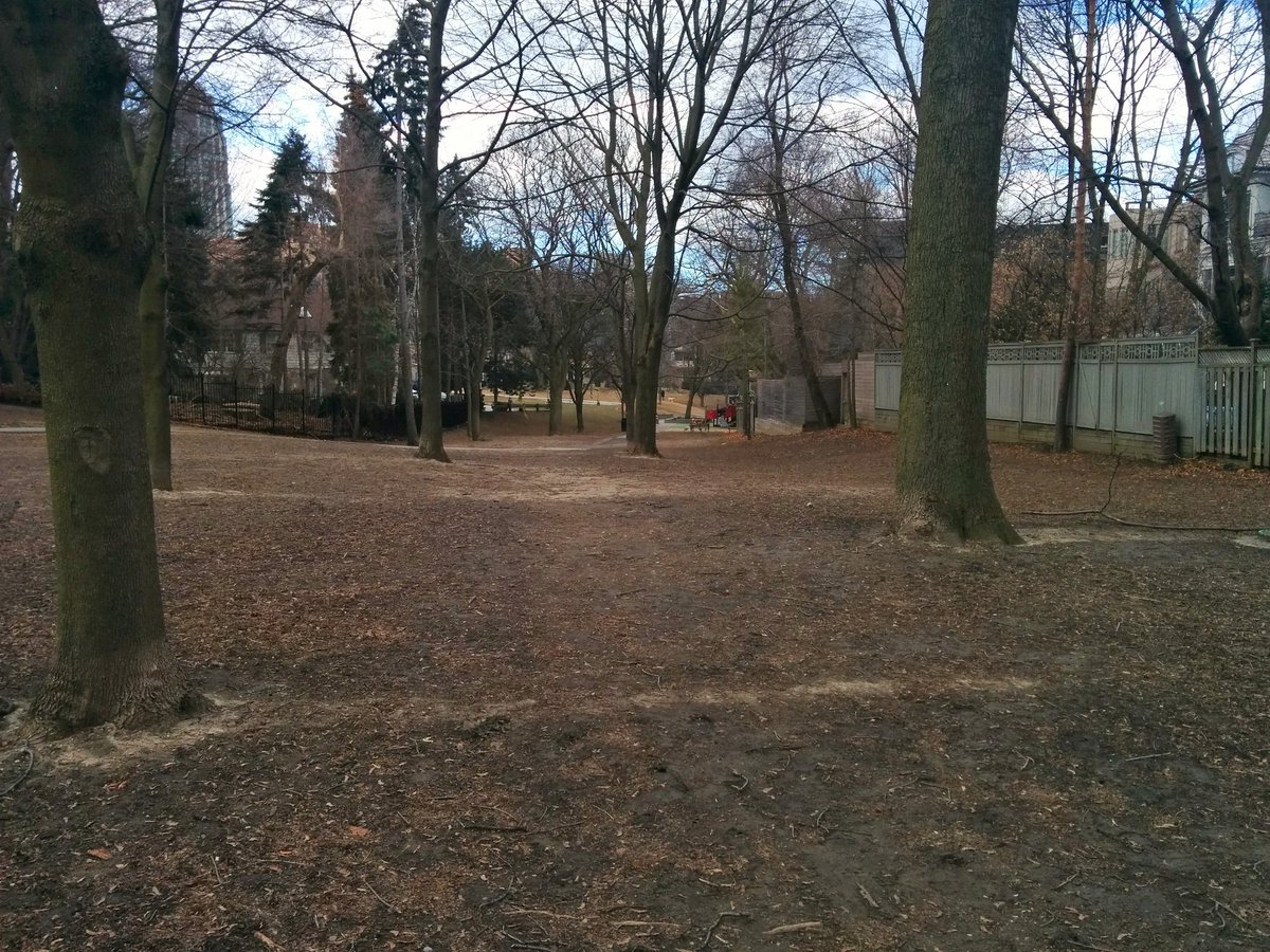
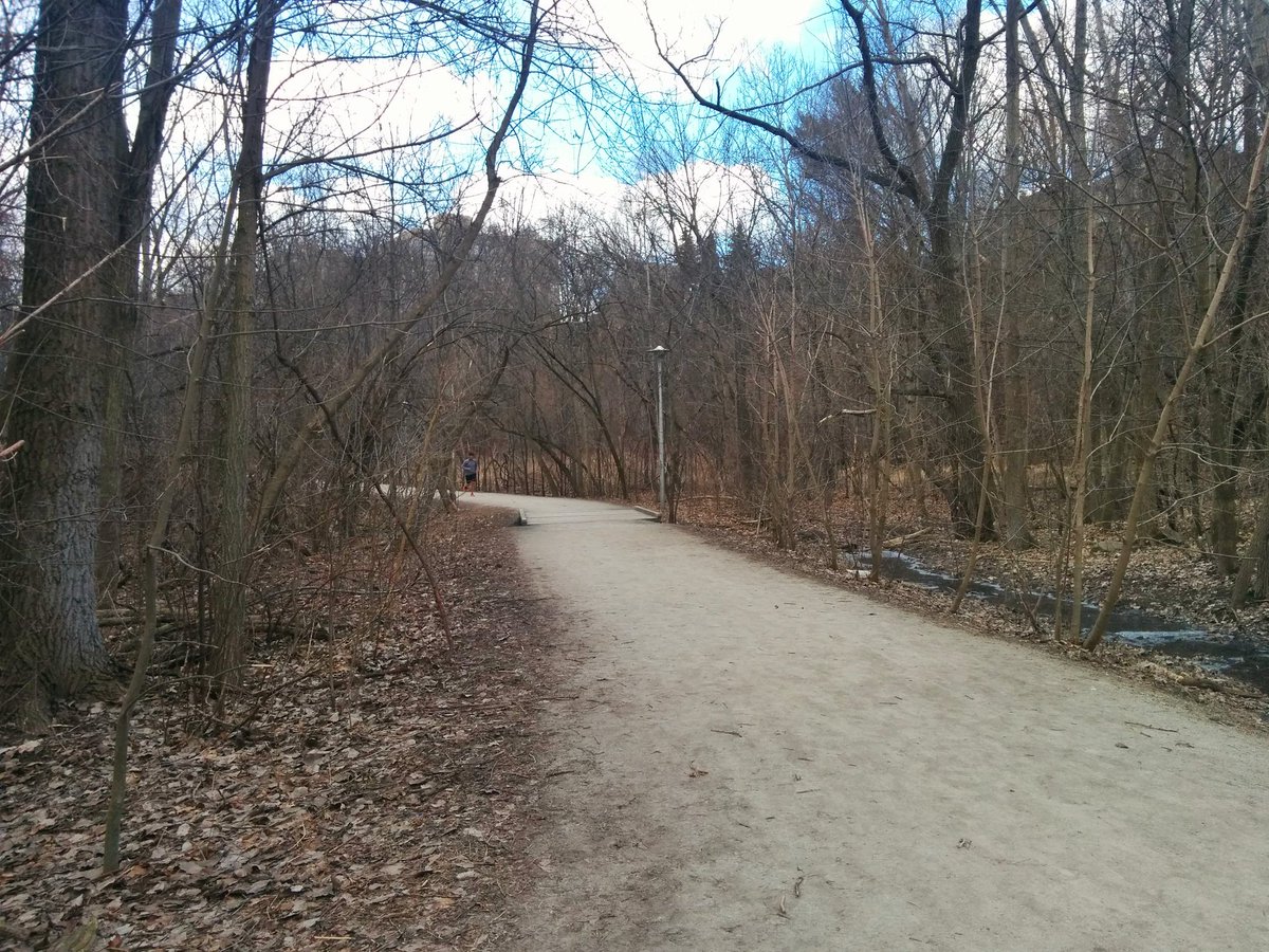
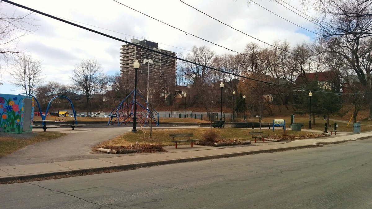
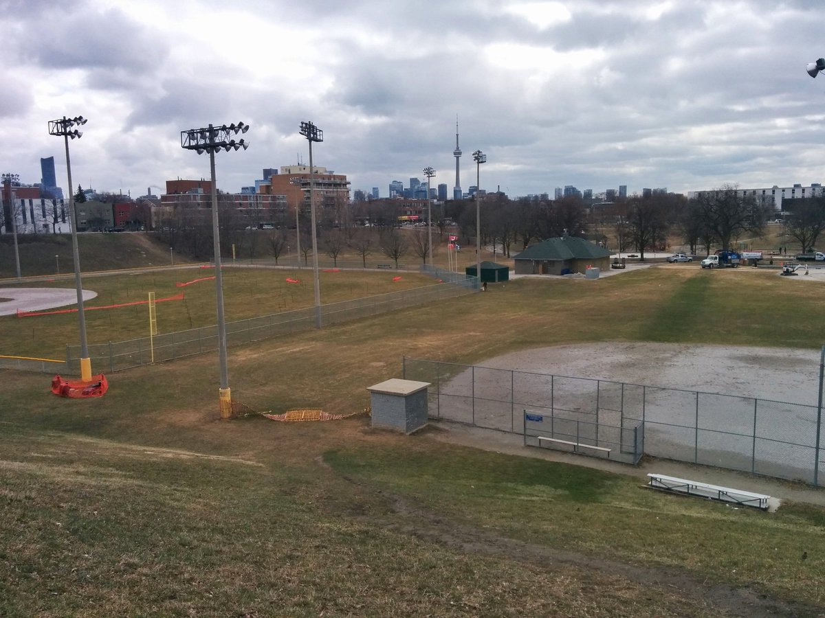
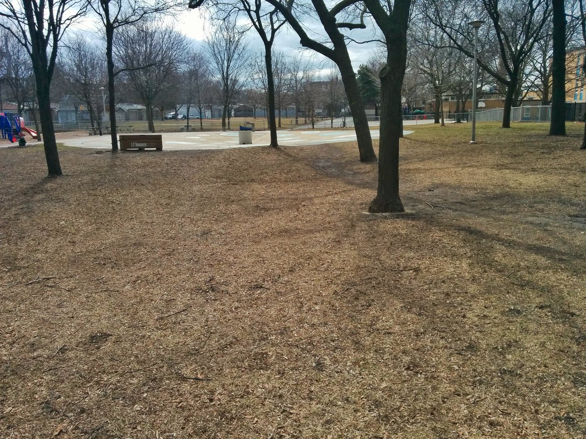
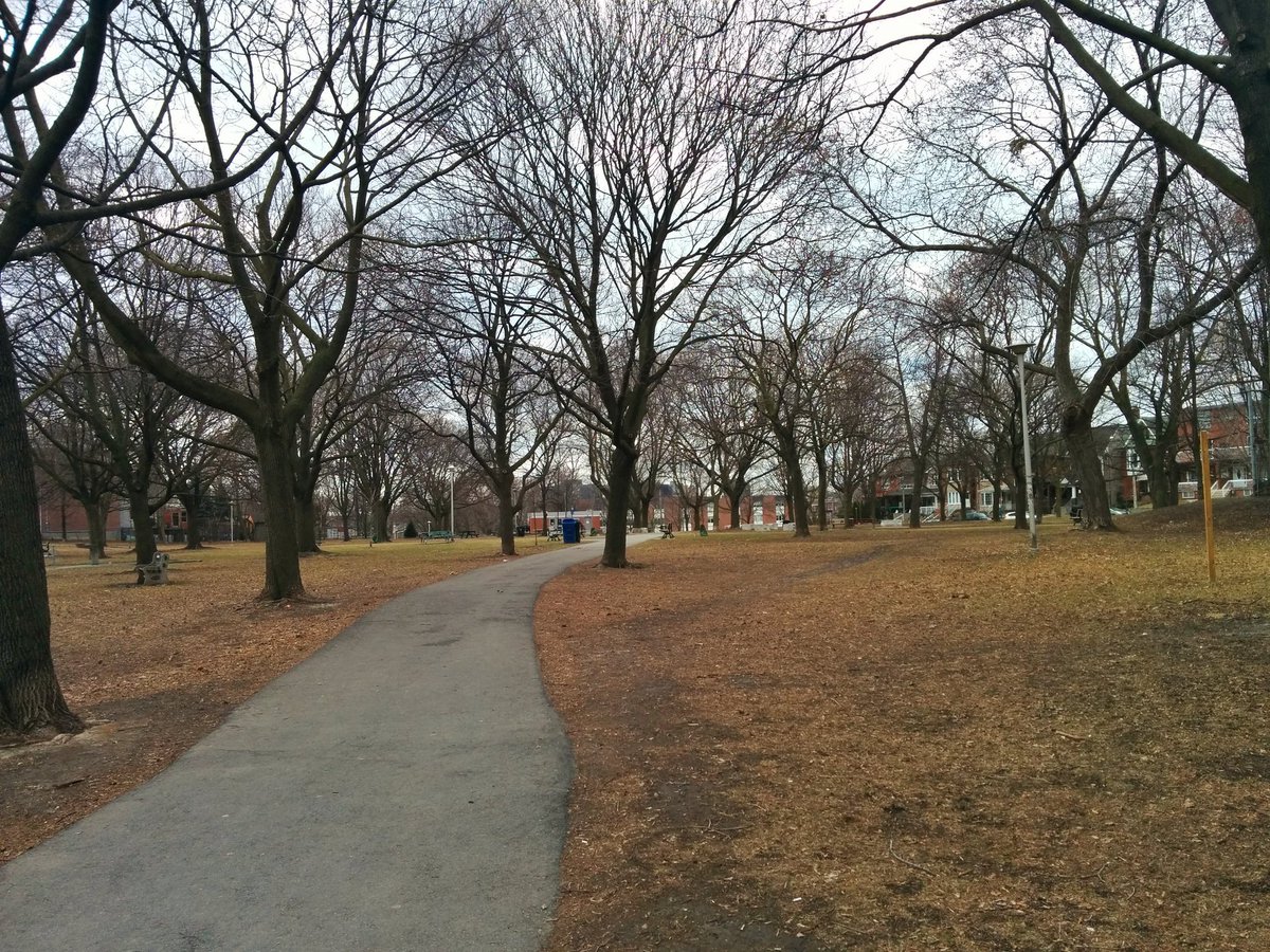
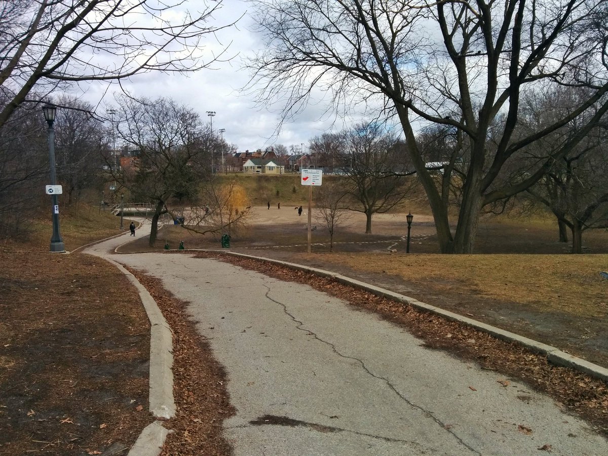
A series of major parks. Super obvious that a creek used to be here.

More markers, some of them acting as neckdowns.
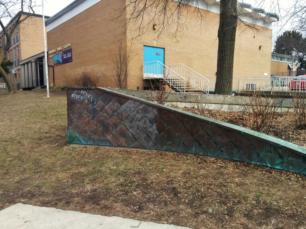
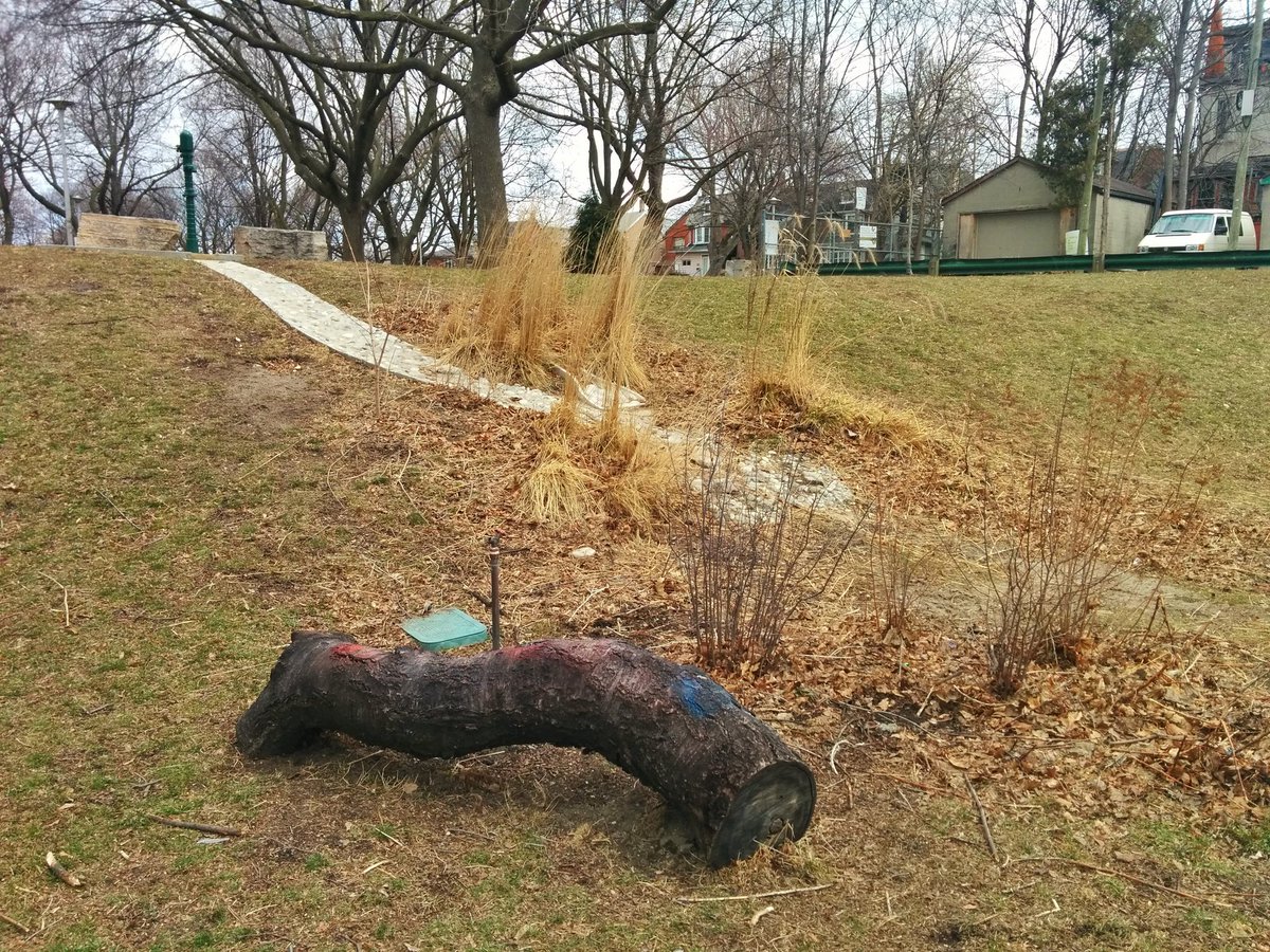
More parks. Found this super cool pump system; pumped water flows down the hill into some porous sand and feeds vegetation at the bottom.

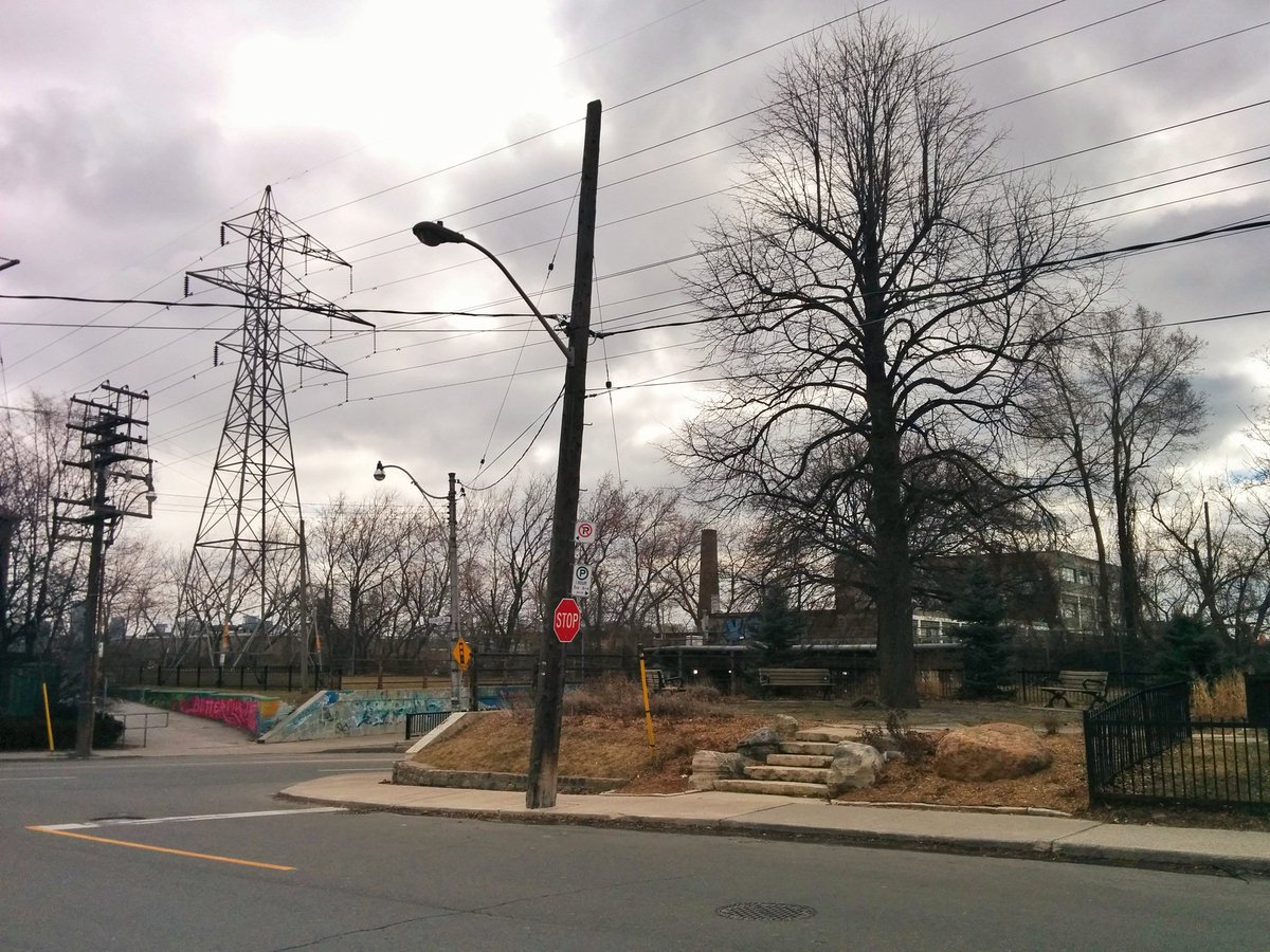
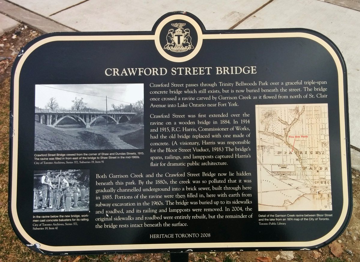
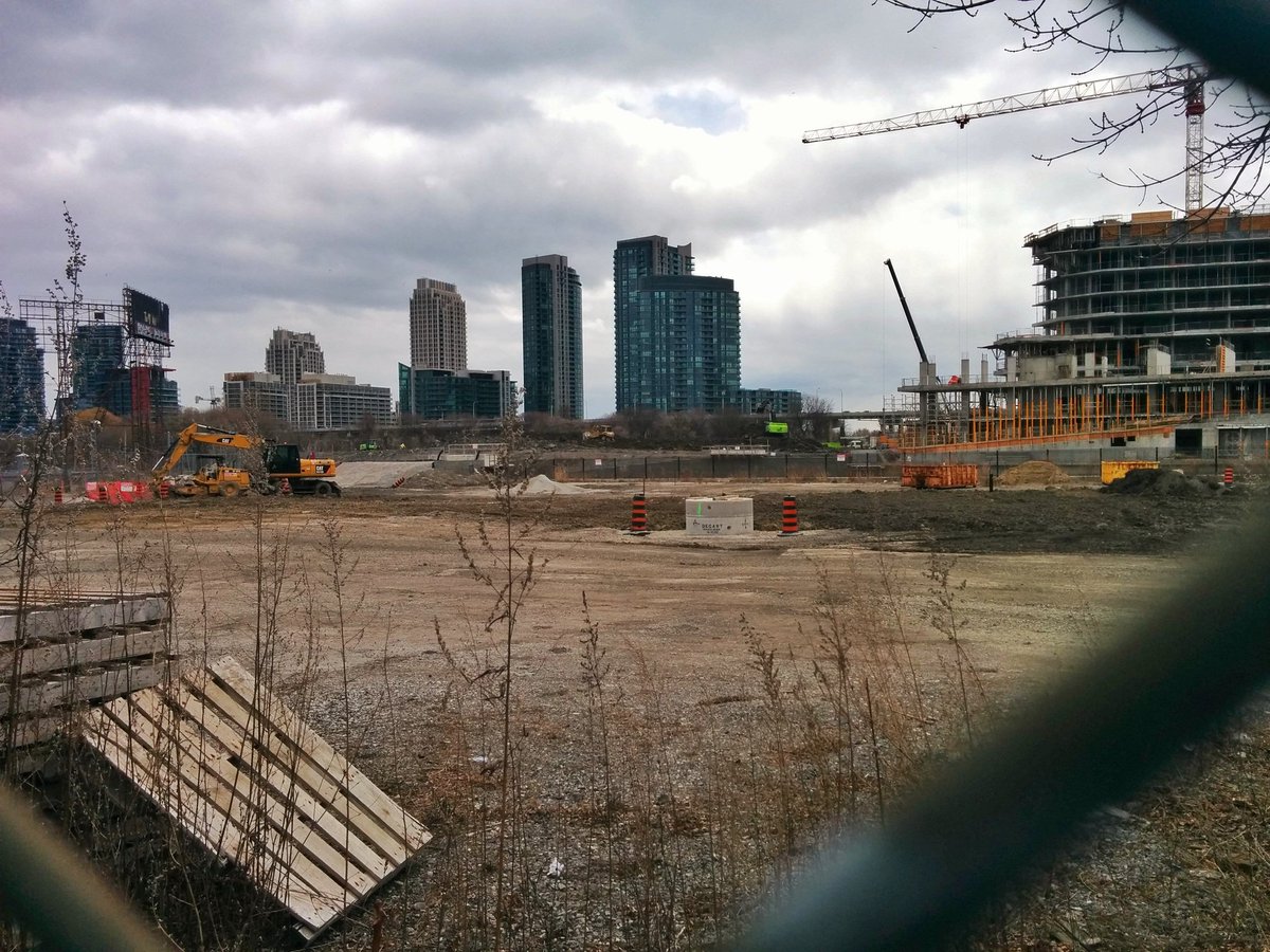
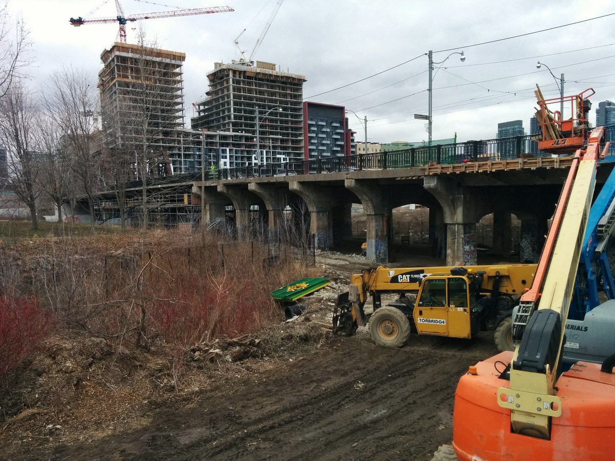
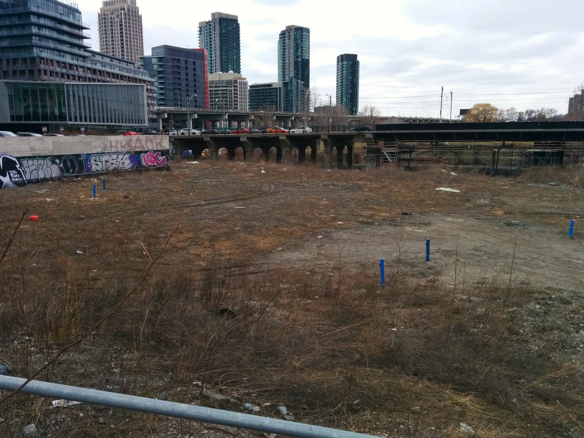
Another pit, but it used to be larger. They had a bridge here and everything, and they filled it. THEY FILLED IT!
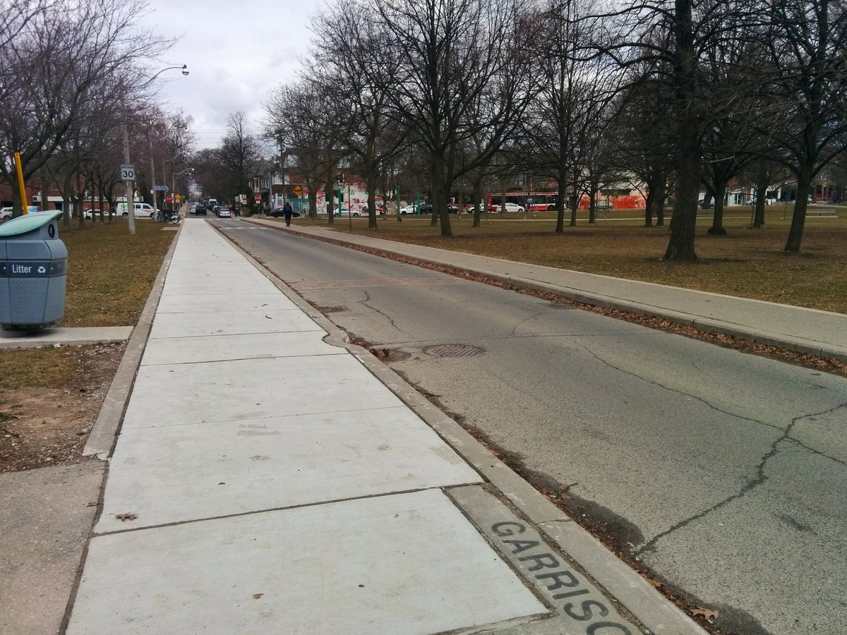
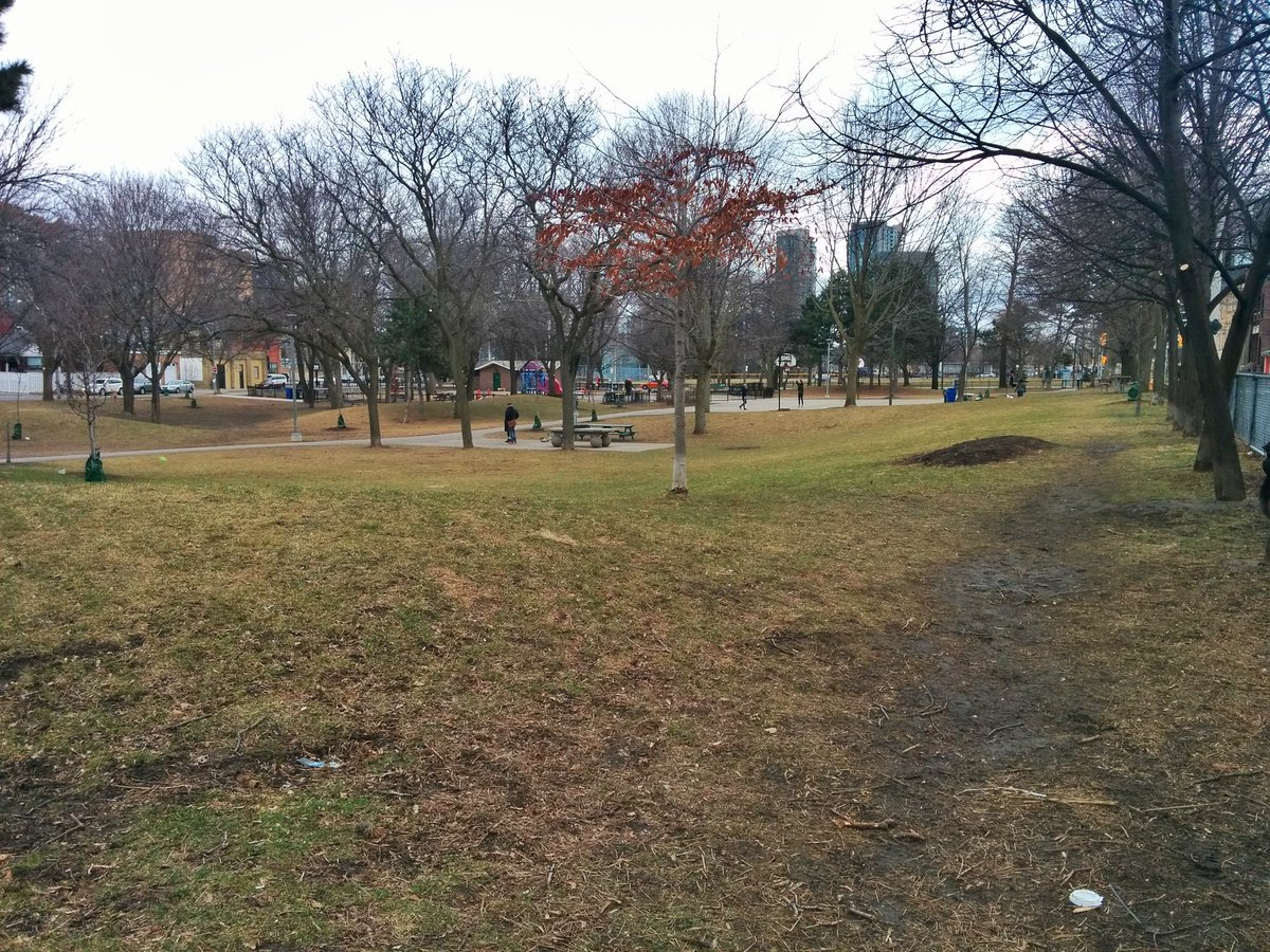
Another park, another ghost of the Garrison. Soon to be extended, complete with a namesake bridge.

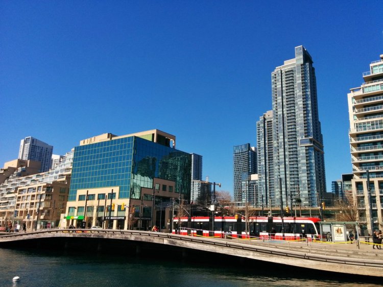
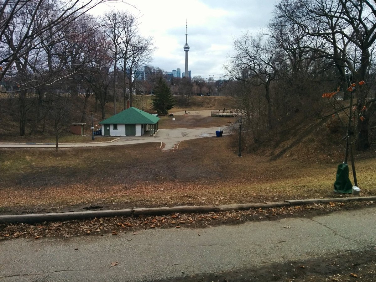
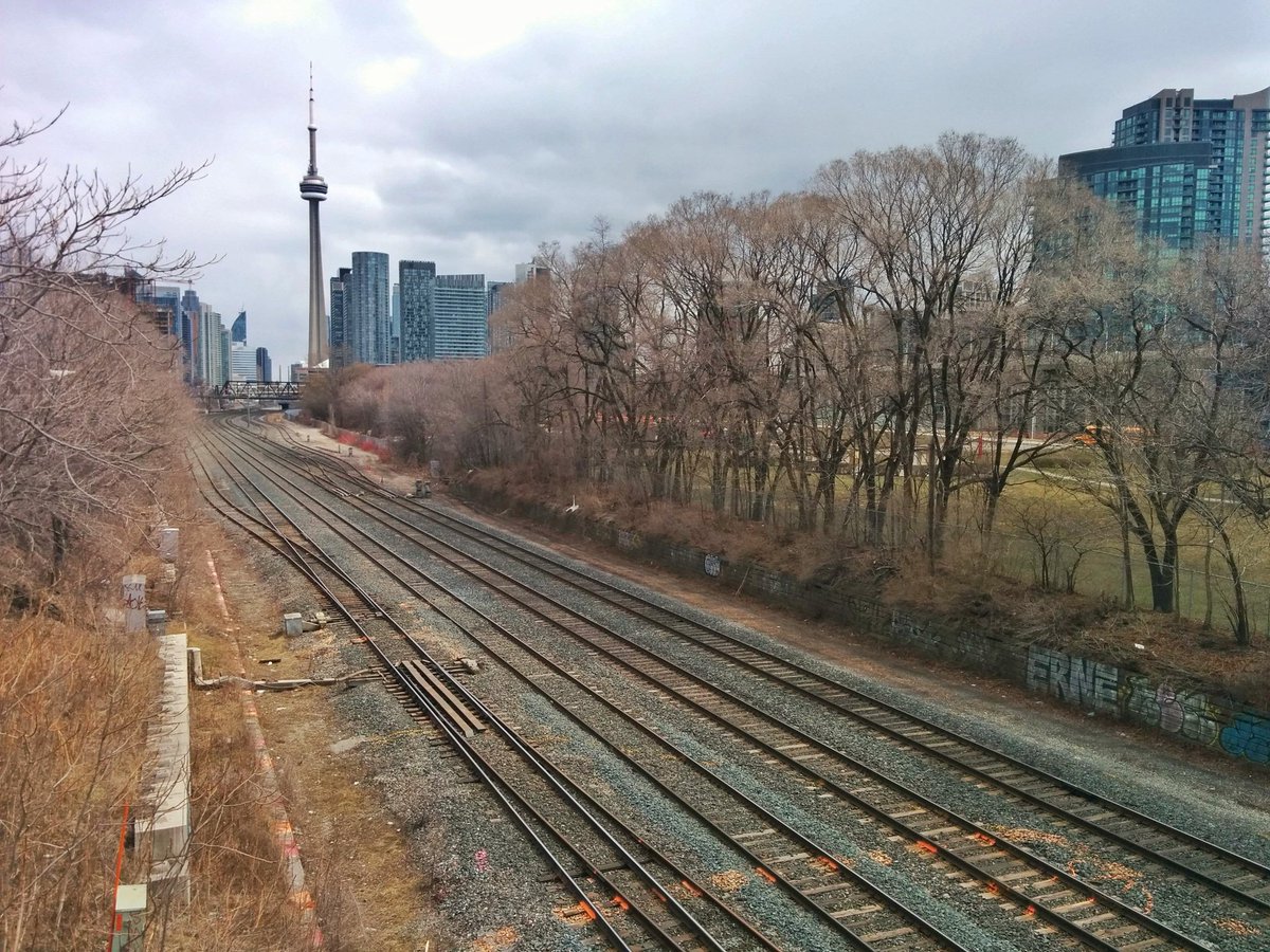
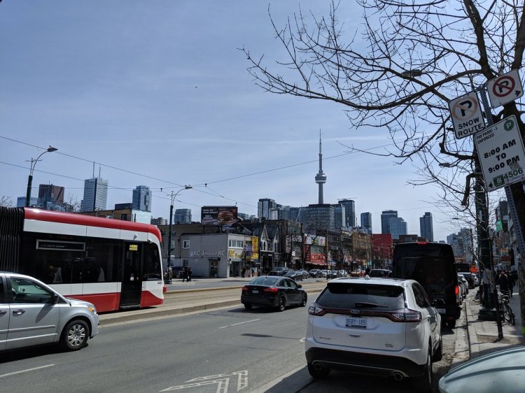
Mandatory downtown shot. Garrison Creek used to meet the lake east of Fort York. The lake was infilled to the south, and all trace of the mouth was lost with railway development. But there is a patch of land behind the Fort York library which will become Mouth of the Creek Park. Another homage.
Date: April 7, 2018
Length: 14.5 km
Type: Riverine
Related Walks

Lost river crossed at the start
Castle Frank Brook
Intersecting hydro corridor east and west
Midtown / Oakridge Hydro

Lesser known lost river to the east
Russell Creek