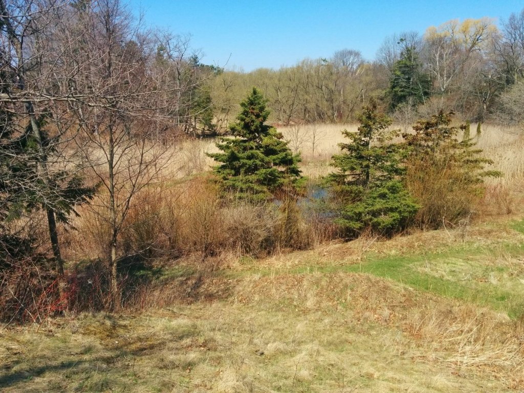
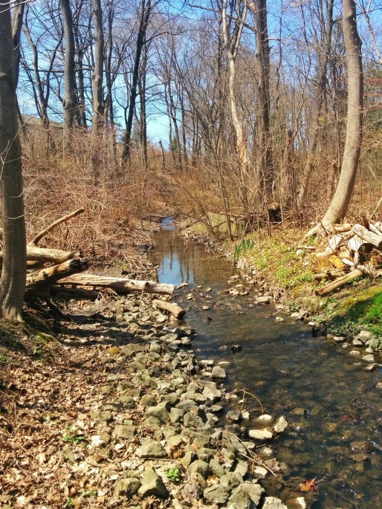
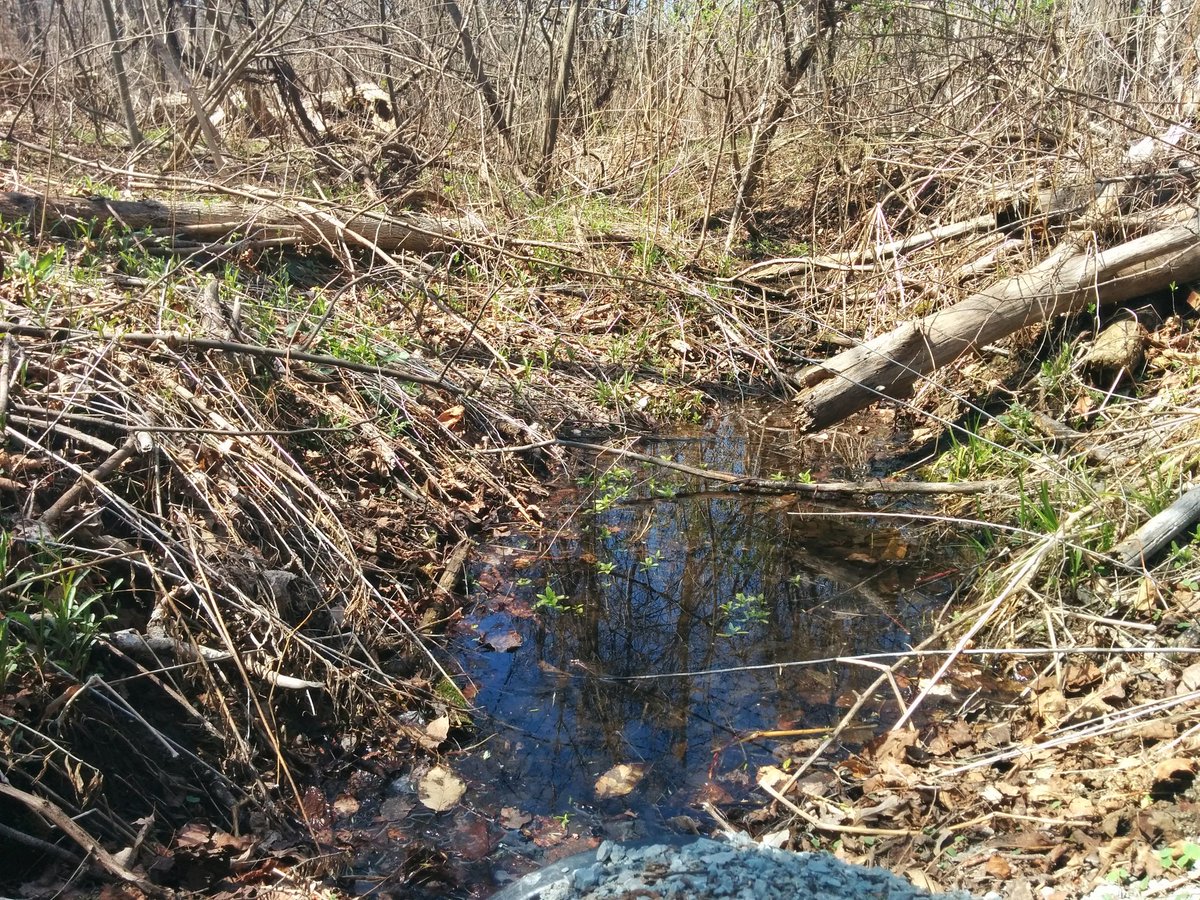
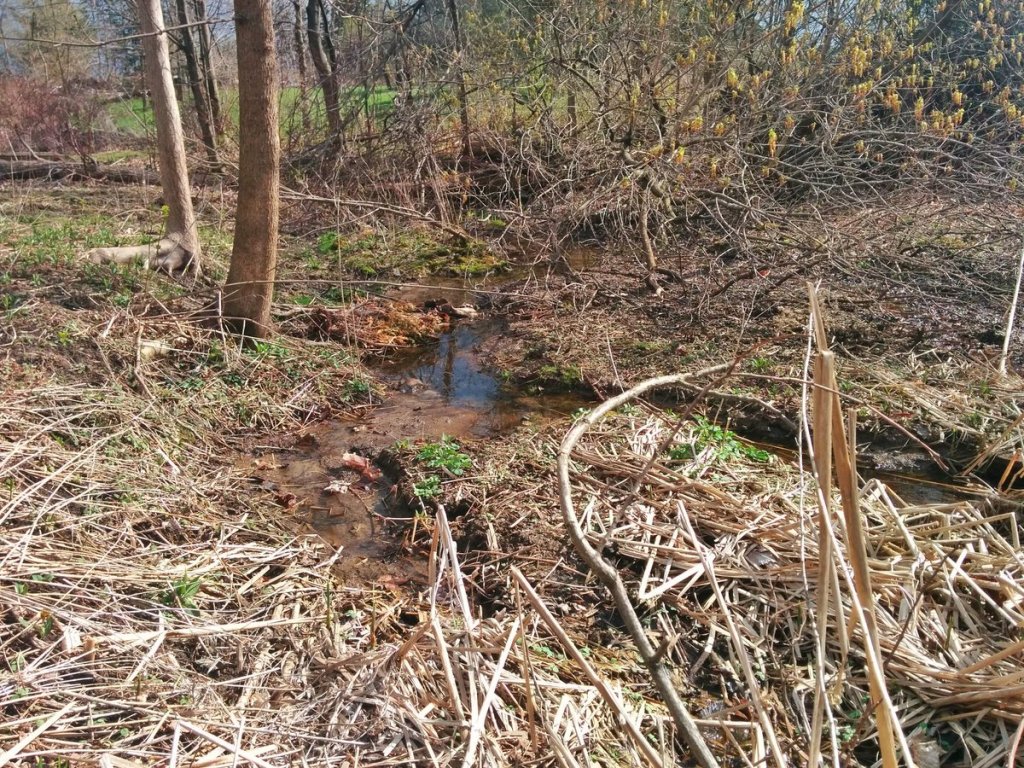
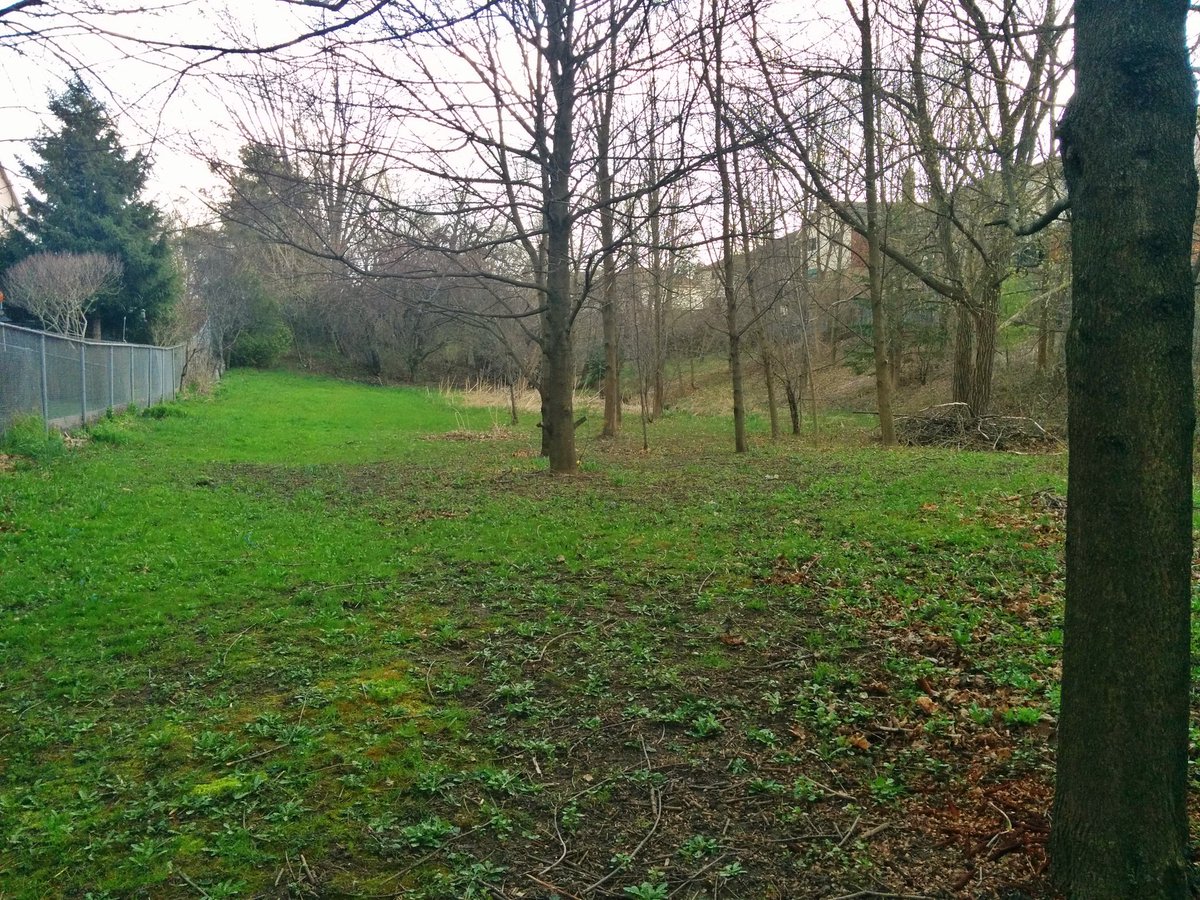
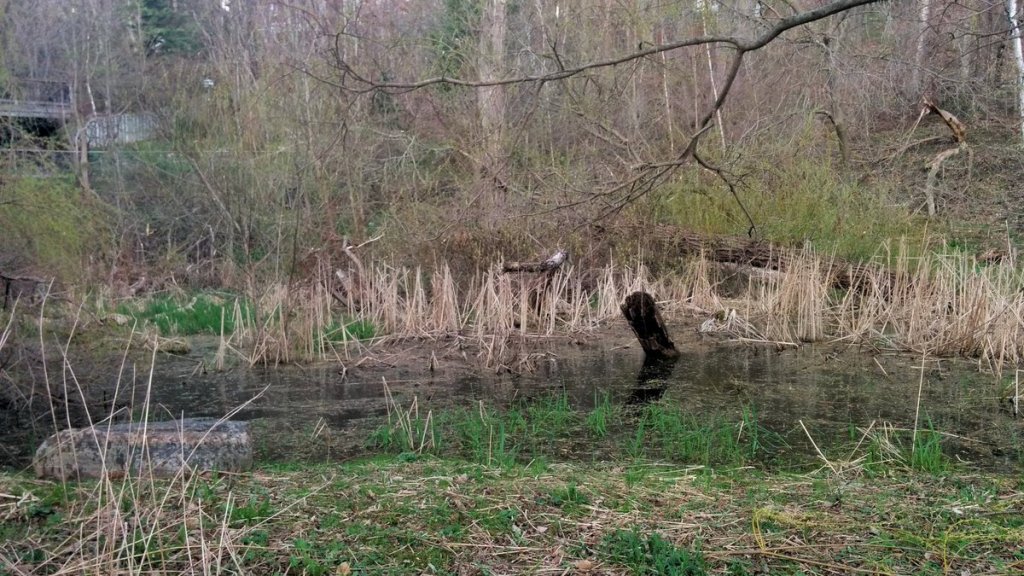
Beautiful start to the day in Rouge Hill. Following Centennial Creek, which is difficult, access to it’s confluence with Highland Creek is blocked off. Stevenson Swamp is the first glimpse you get of it.
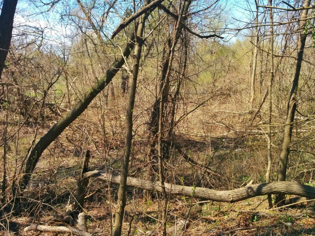
Much of Centennial is surrounded by private houses, so not much to see yet. And then at the end of the namesake street, a fallen tree from yesterday’s wind storm has taken out some power lines, preventing me from getting a second glimpse of the creek.


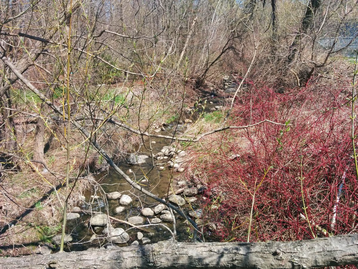
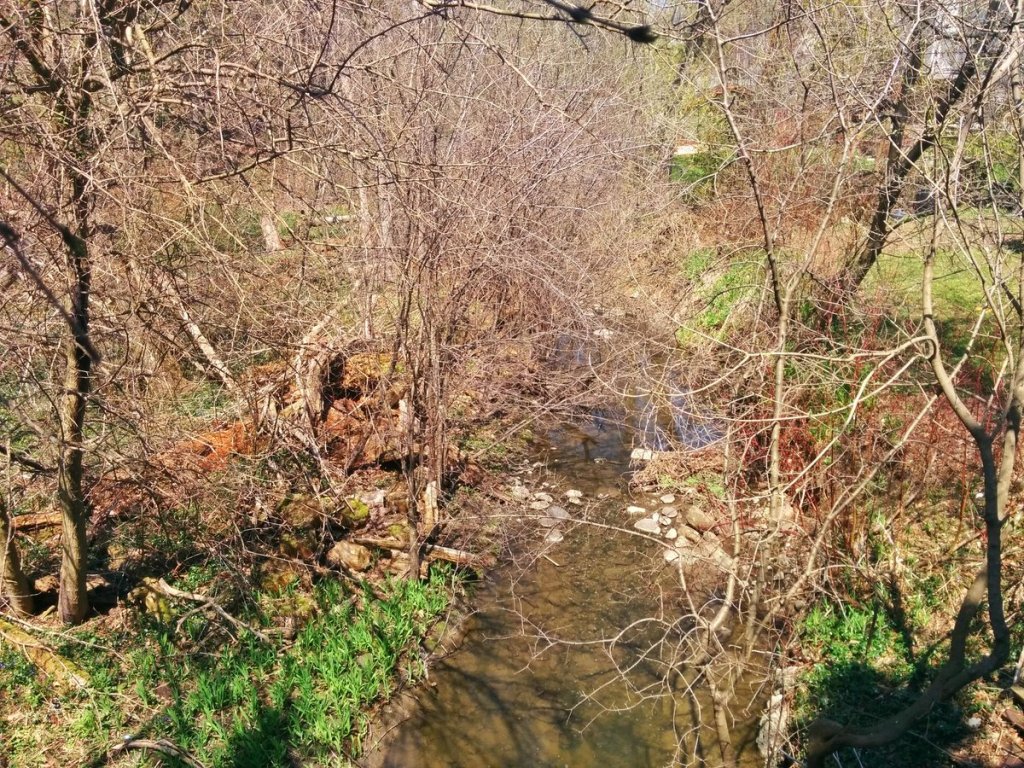
Finally, my first good glimpse at Lawrence. Oddly enough, this is also where it meets another tributary.


Followed the west tributary until coming back to the main branch at Clemes. Talked to a gentleman on Wanita, owns house backing onto the former. He’s lived there for 20+ years, and has slowly cleaned that ravine; tires, plumbing equipment, etc. Great community stewardship.


This has been a tough walk so far. Lots of walking around houses. Cross Centennial Creek at Lawson on the north side, and then the sidewalk ends.


Large detour to get across Highway 2A. Crossed two more tributaries of Centennial Creek on the way.


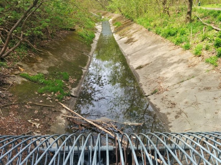
I’ve finally reached Centennial Creek again, north of Highway 2A. And I can finally walk alongside it as well.


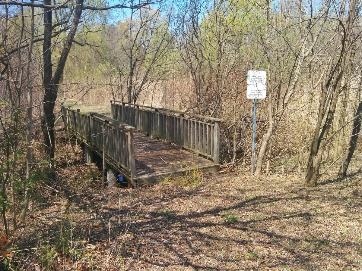
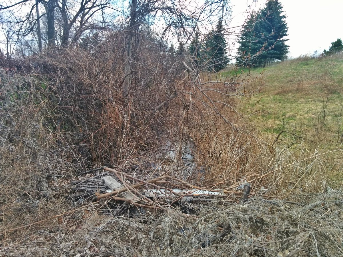
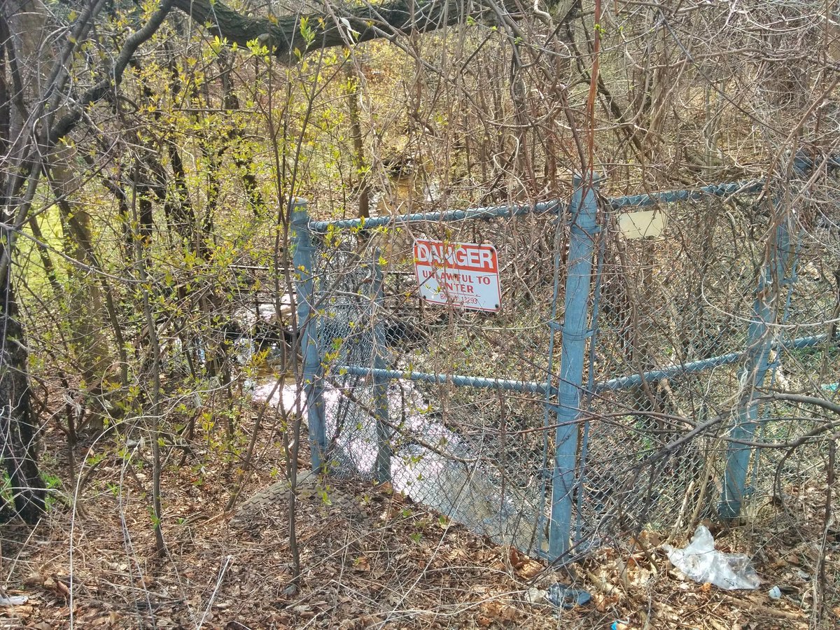
I’m trying to walk alongside it. Got through one stormwater management area, discovered Centennial was buried southwest of Morningside and Ellesmere, and then tried twice to push through the brush in a second stormwater management area north of Ellesmere to Zaph. No luck, had to go around.


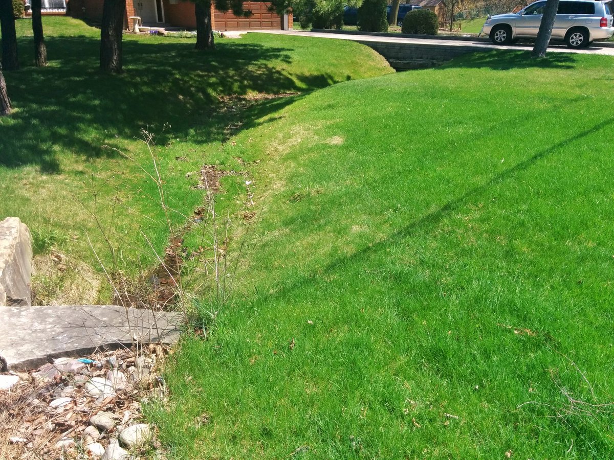
Winding through a suburban subdivision. After briefly seeing it merge with some streetside ditches, I still can’t follow Centennial, only able to observe it ducking through people’s backyards.


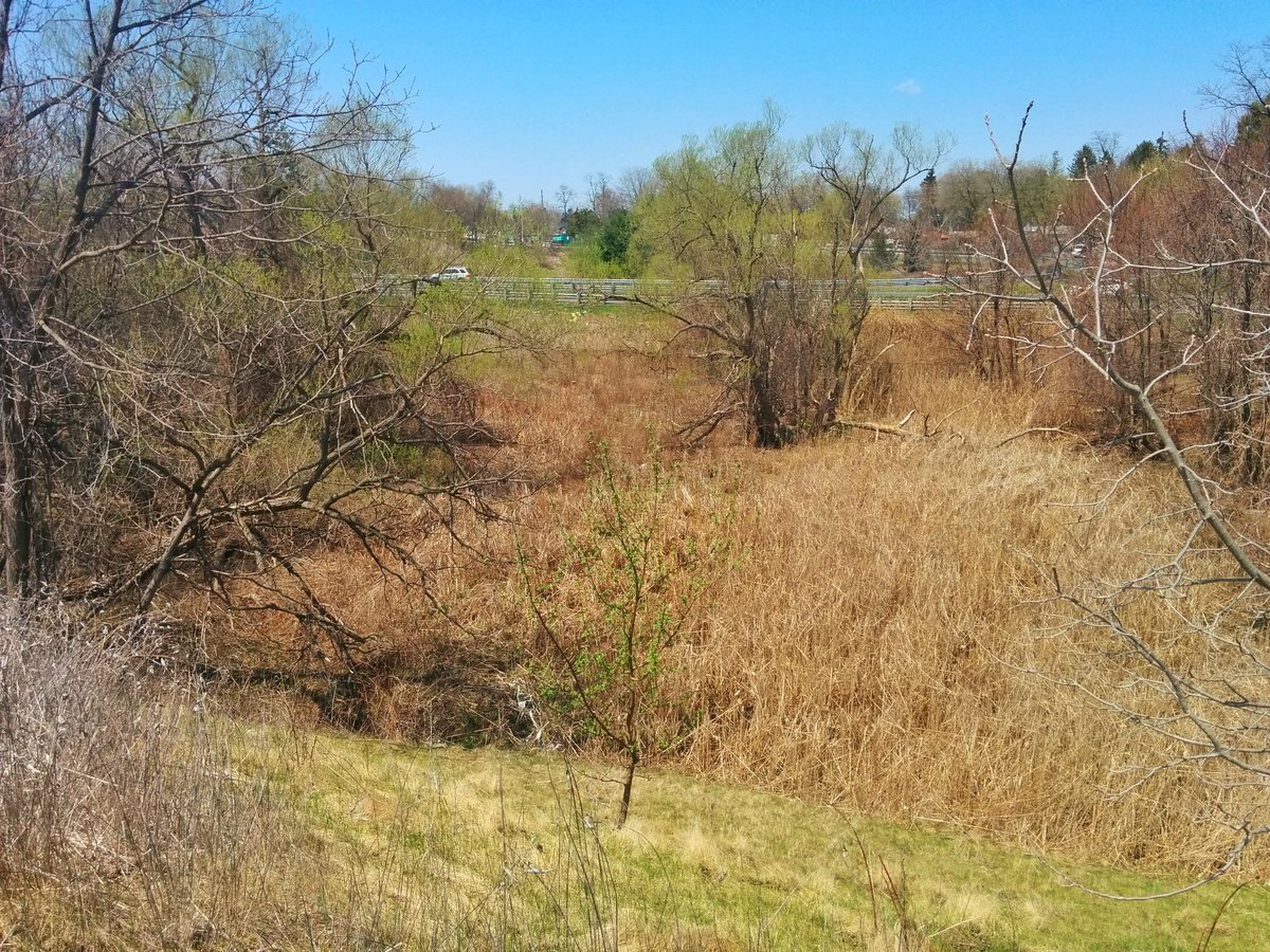
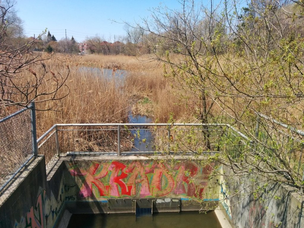
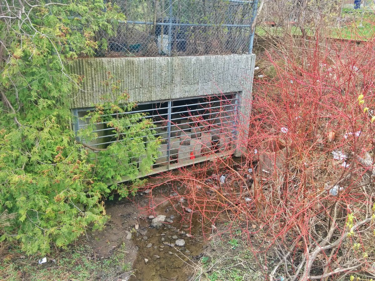
My pursuit of Centennial Creek ends here: Willowlea Wetland. This is pretty much the headwater, it goes under the 401 through a small culvert, and then branches into multiple tiny streams.


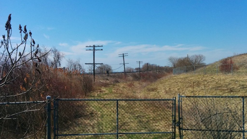
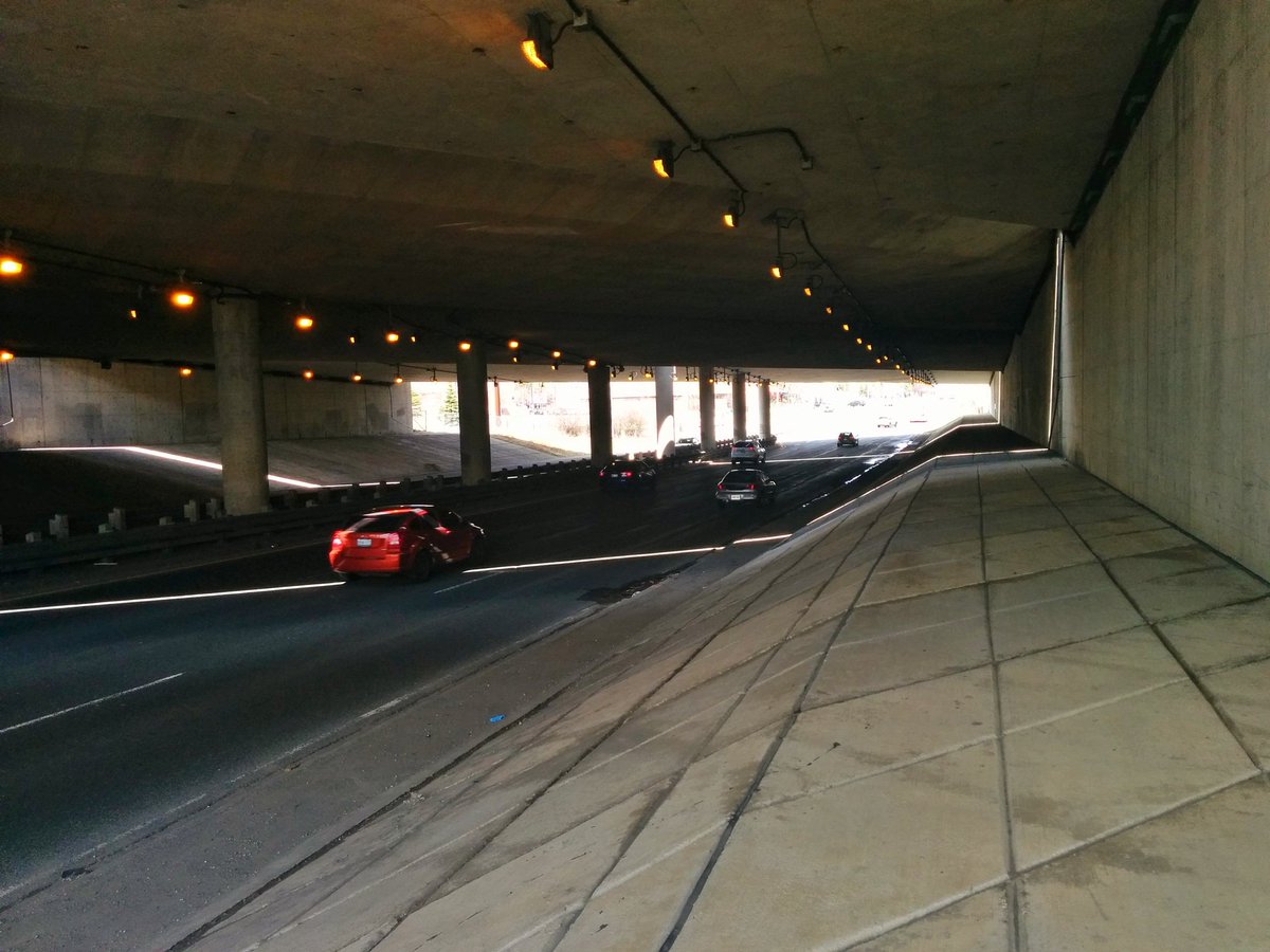
Okay. Next is Adam’s Creek. Not going to go all the way to the headwaters, which are within a swampy woodlot north of the 401. I’m hunting around the Highway 401/2A/Kingston Road interchange again, seeing what I can see. Historical images from 1956 clearly show where it goes under, but with all the development and reengineering of the highway, not much left to see.


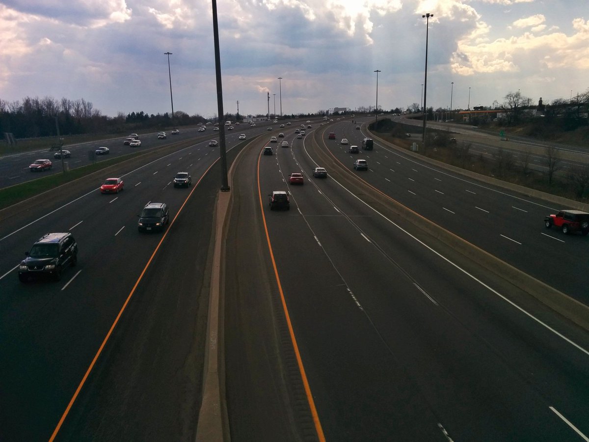
Over, under and around. Anyway, fun fact: Adam’s Creek is not a tributary of Highland Creek or the Rouge River. It actually is its own little watershed, splitting the other two and flowing directly into Lake Ontario.

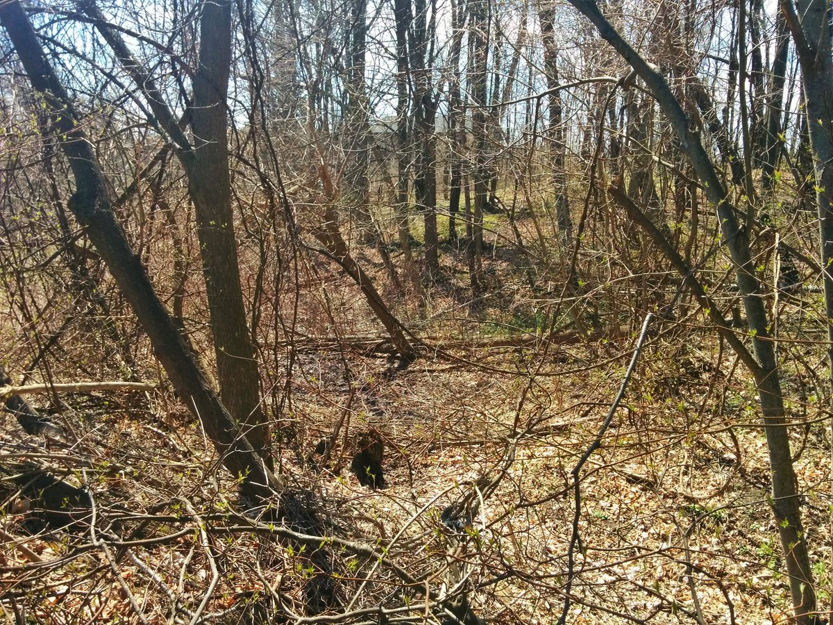
Laura Ellis Natural Area. Another headwater area. Tough to navigate through, there’s lots of damage from the wind storm.

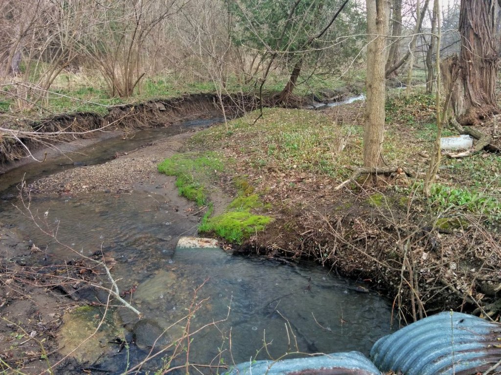
After disappearing briefly through a culvert, Adam’s Creek reappears in a namesake park. It’s quite fantastic, it’s got a good meander going.


Access beyond Adam’s Park is mixed. Some reaches are open, some are closed behind people’s backyards, some are simply impassable.


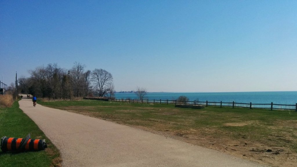
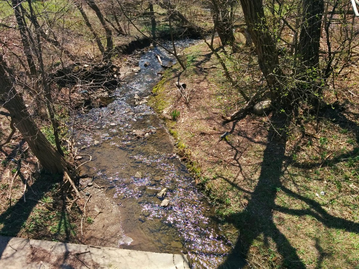
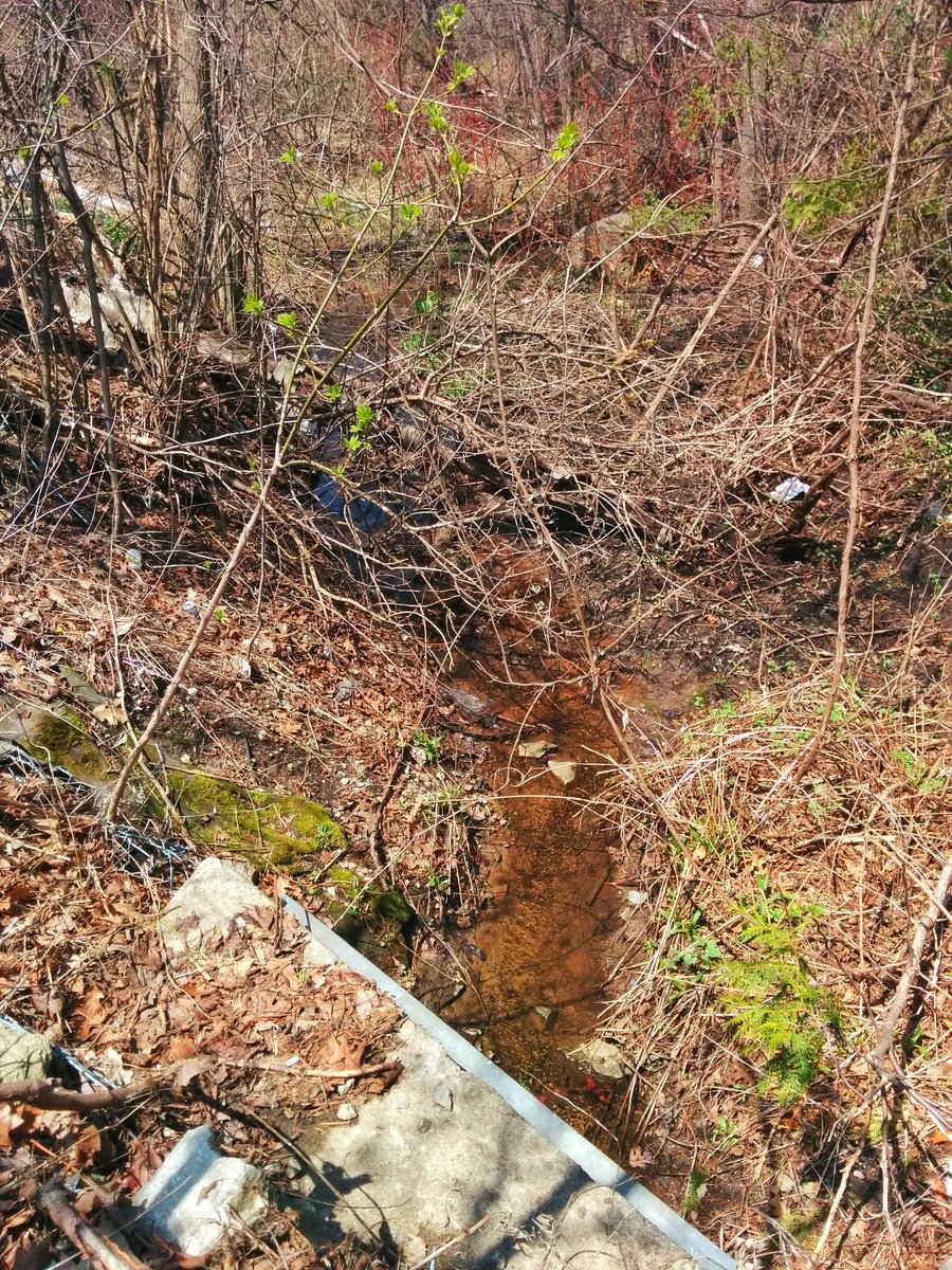
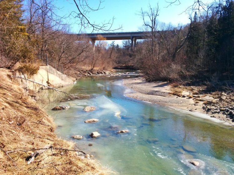
Finally, after crossing under East Ave, there’s an open, accessible stretch to walk along.
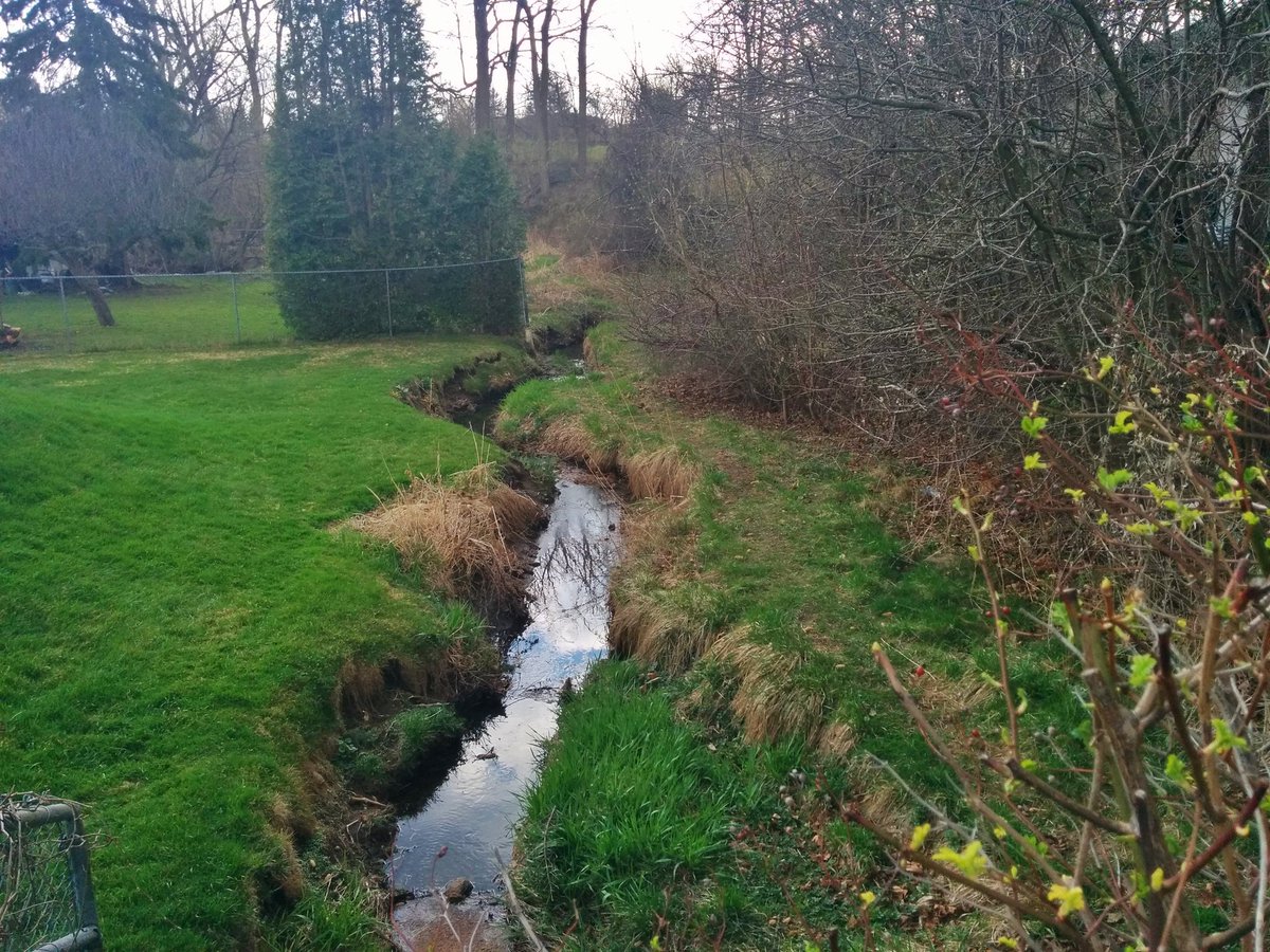


This is all it takes: a little room for a path next to a creek. We should be striving to do this along more watercourses, but we have allowed development to encroach upon, privatize, and/or obliterate what should be public space. Or, it exists, and we just let it get overgrown.


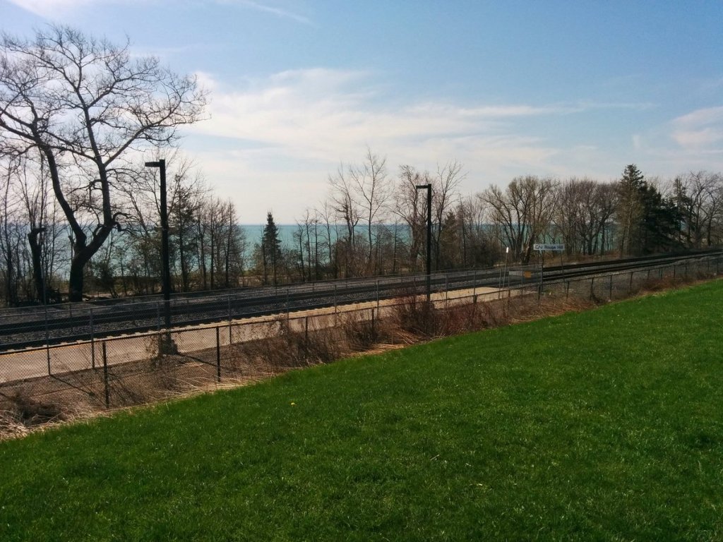
The rain starts falling, just as I reach Lawrence. I’ve come full circle. Adam’s Creek continues under Lawrence and the Lakeshore East line until it meets the lake.


Date: May 5, 2018
Length: 23.2 km
Type: Riverine

Related Walks
Highland Creek upstream of the confluence
Lower Highland and Shore
Shoreline west of the confluences
Shoreline IV