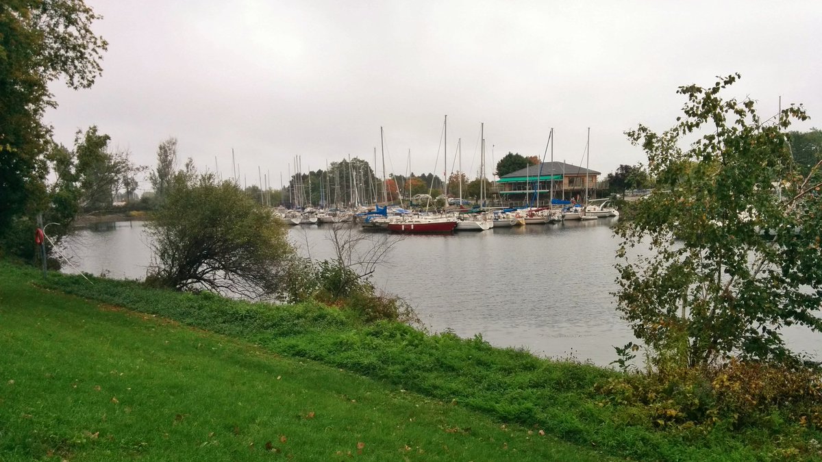
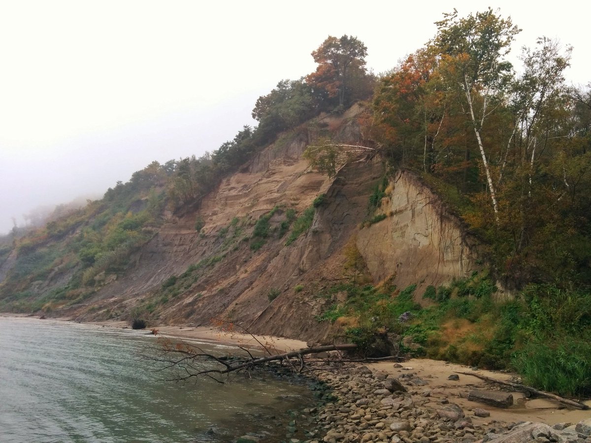
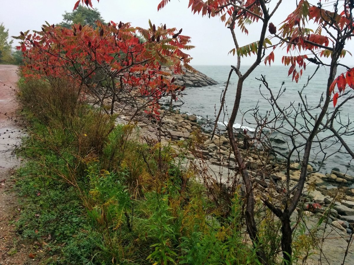
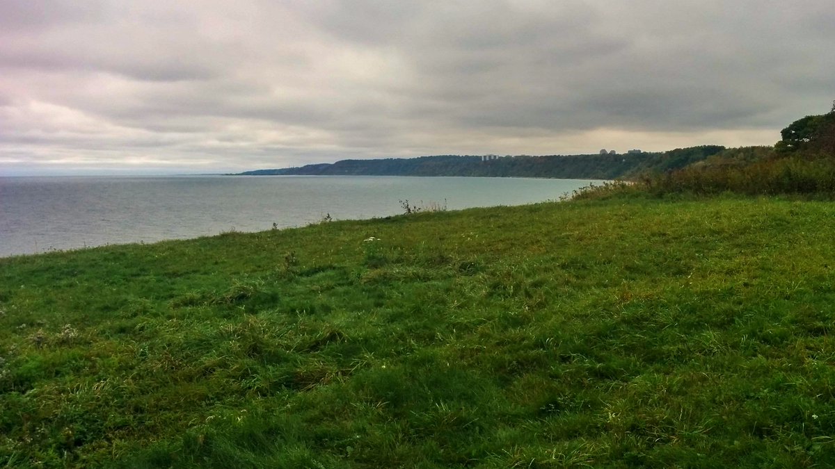
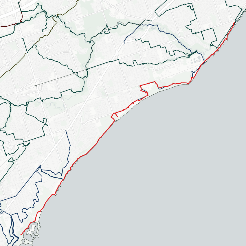
It’s grey and dreary out, but let’s go for a walk anyway. Heading east along Toronto’s shoreline from Bluffer’s Park. Ravine. Marina. Bluffs. Beach. Drizzle, fog, and a breeze. This feels like the scenery and weather you’d find across the pond.


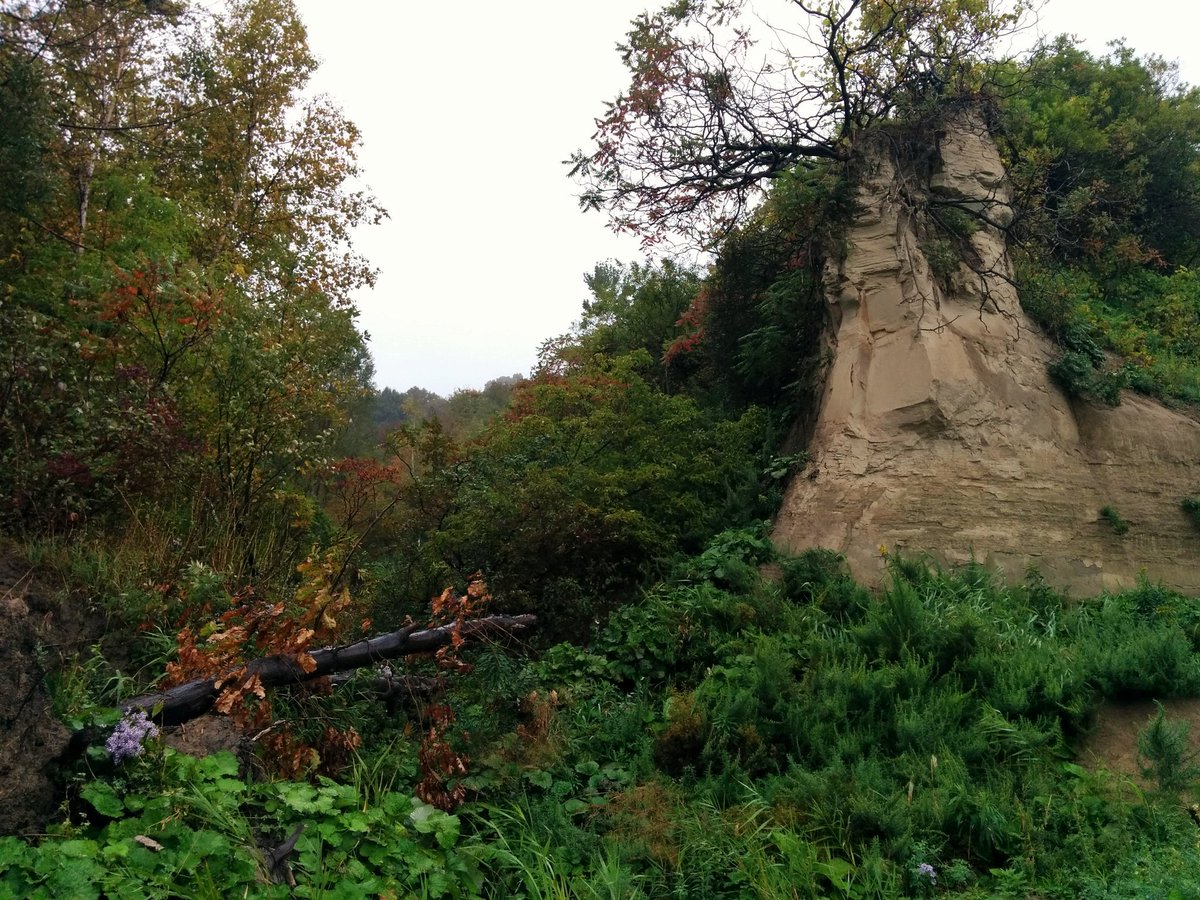
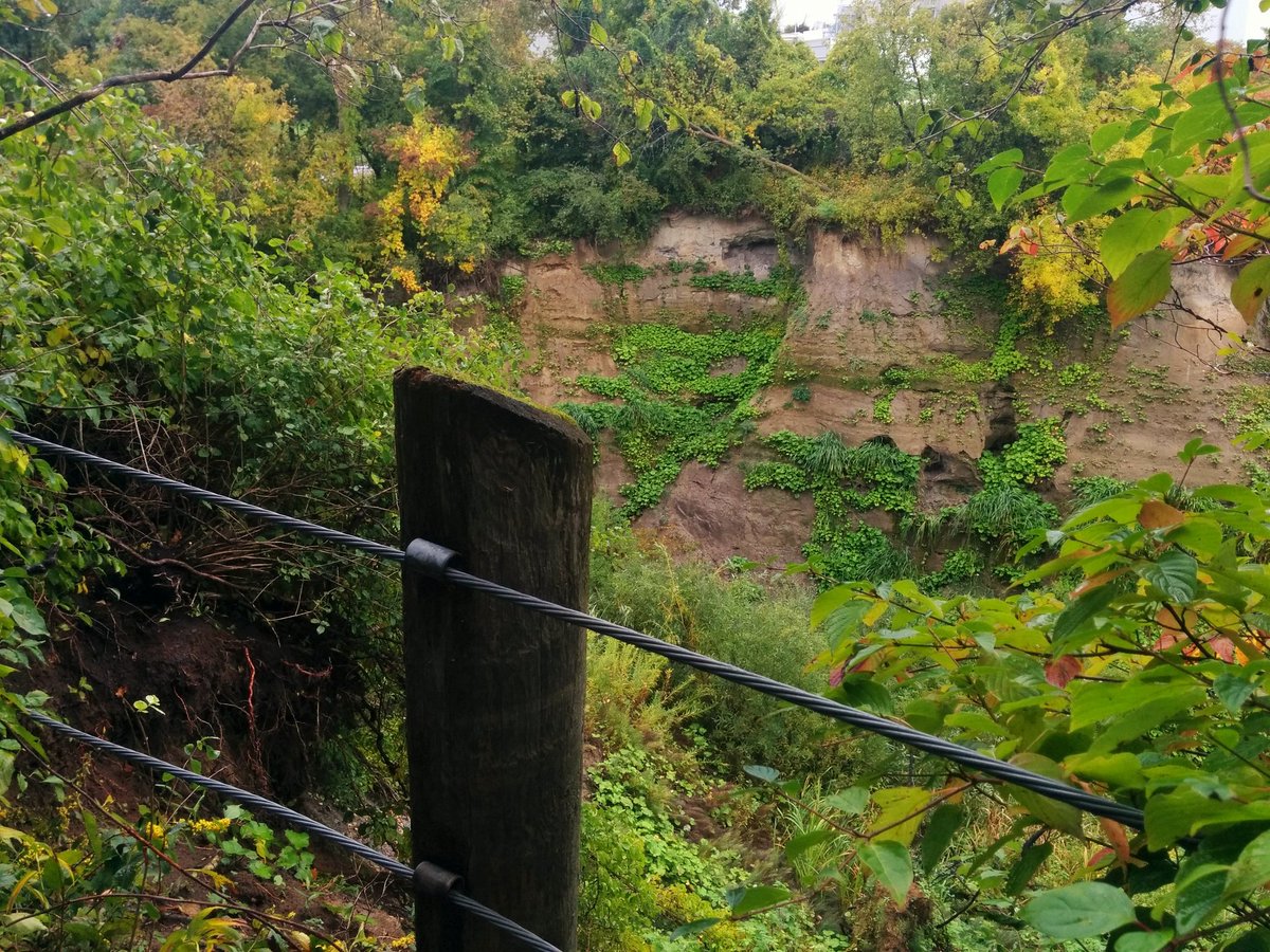
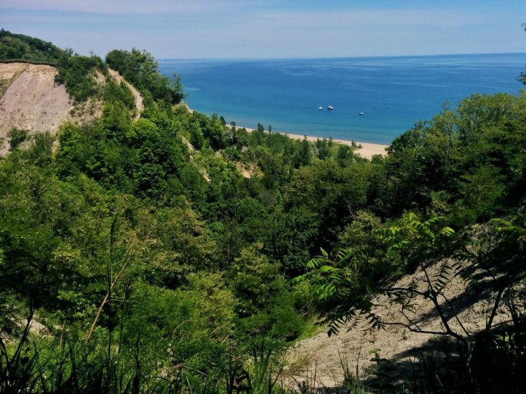
A nice back beach trail gives way to rocky and sandy shores, interrupted by clay mud slides from the bluffs above. The conservation authority tells you to stay off of and away from the edge of the bluffs. I would also advise against walking along the toe in these stretches.

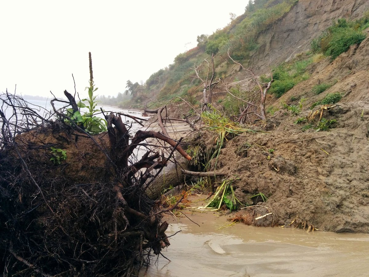
Back on safer ground. I’m all about going in the less accessible and rarer seen places in Toronto, but honestly, that is one of the dumber risks I’ve taken. I’m rethinking part of my walk. Please don’t follow all my footsteps on this one.


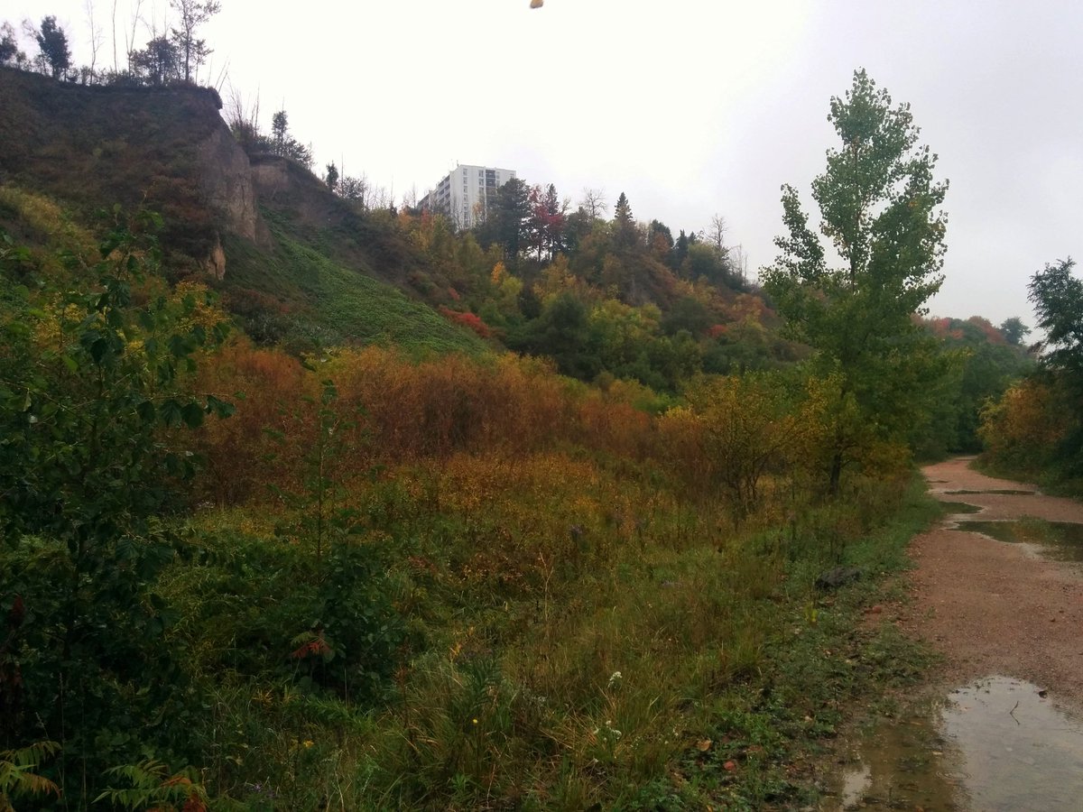
Anyway, I’ve made it to Gates Gully and Bellamy Creek. This is one of the more prominent watercourses along the shoreline, but there are many more smaller streams from the bluffs.
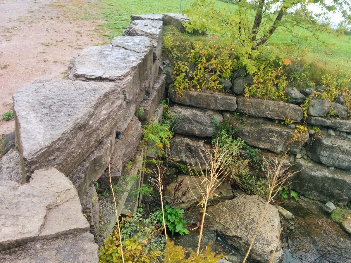


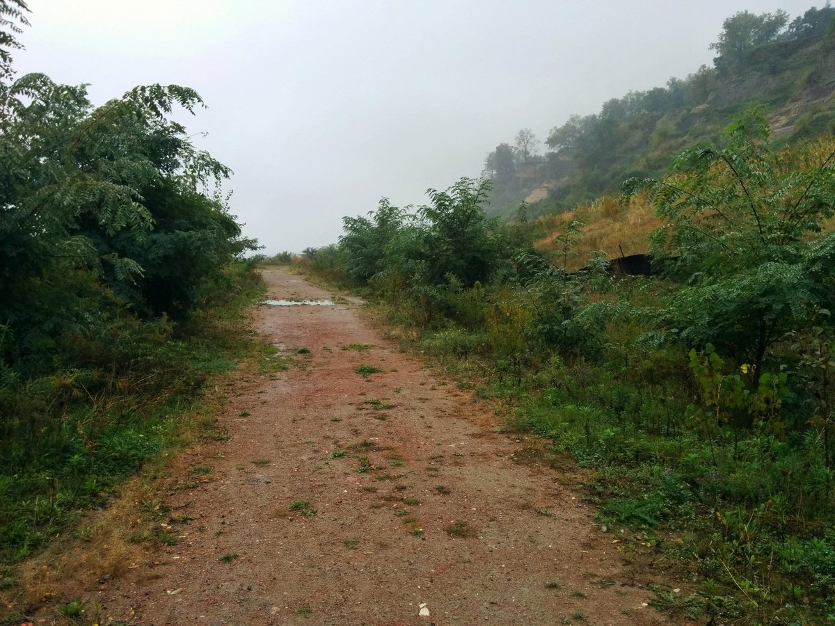
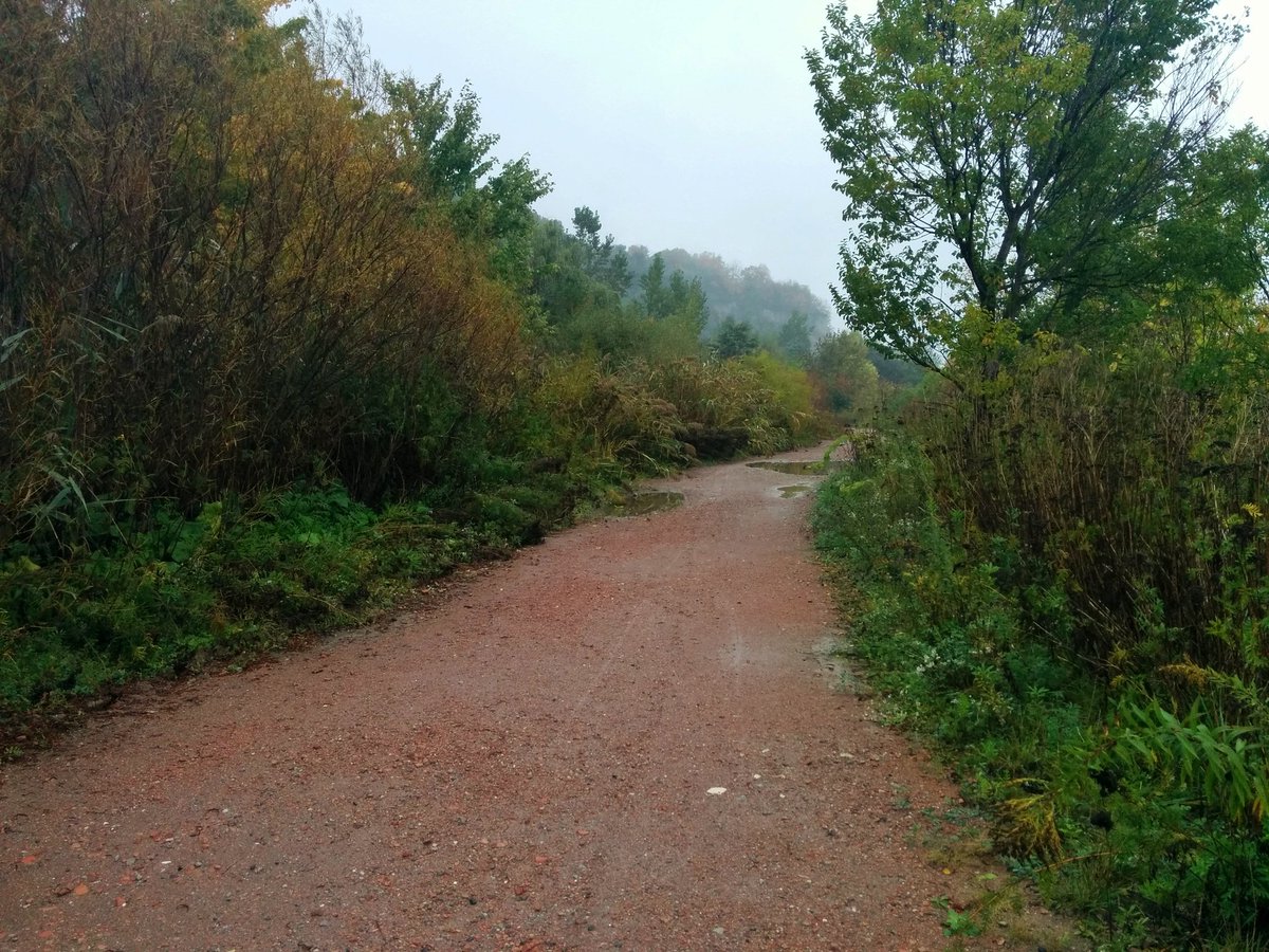
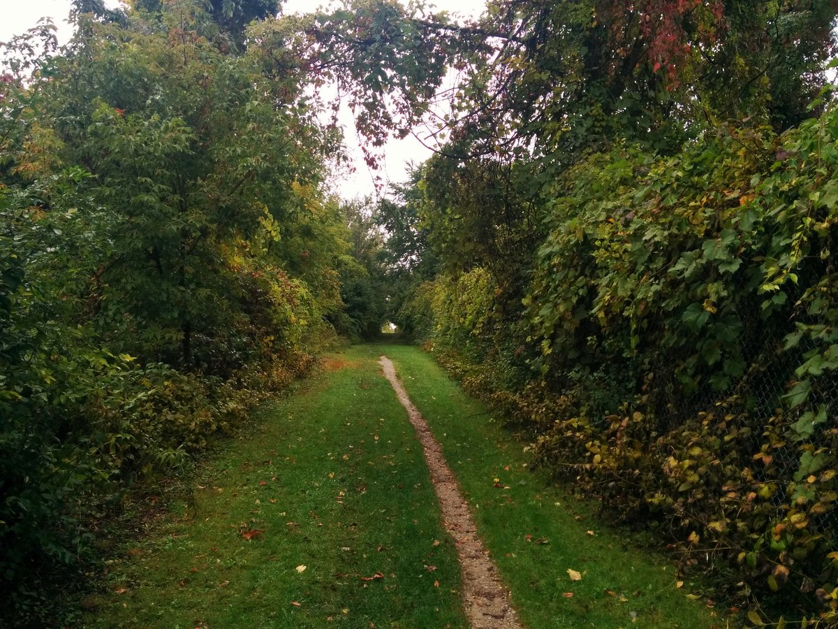
Safe, and ‘sanctioned’ more or less. I do highly recommend this part. Red brick rubble road. Greens and blues where water meets algal rock. Carolinian vegetation and marine wildlife. It’s such an amazing place. The quietness and the fact I haven’t seen a soul only amplifies it.


Other interesting notes from this stretch:
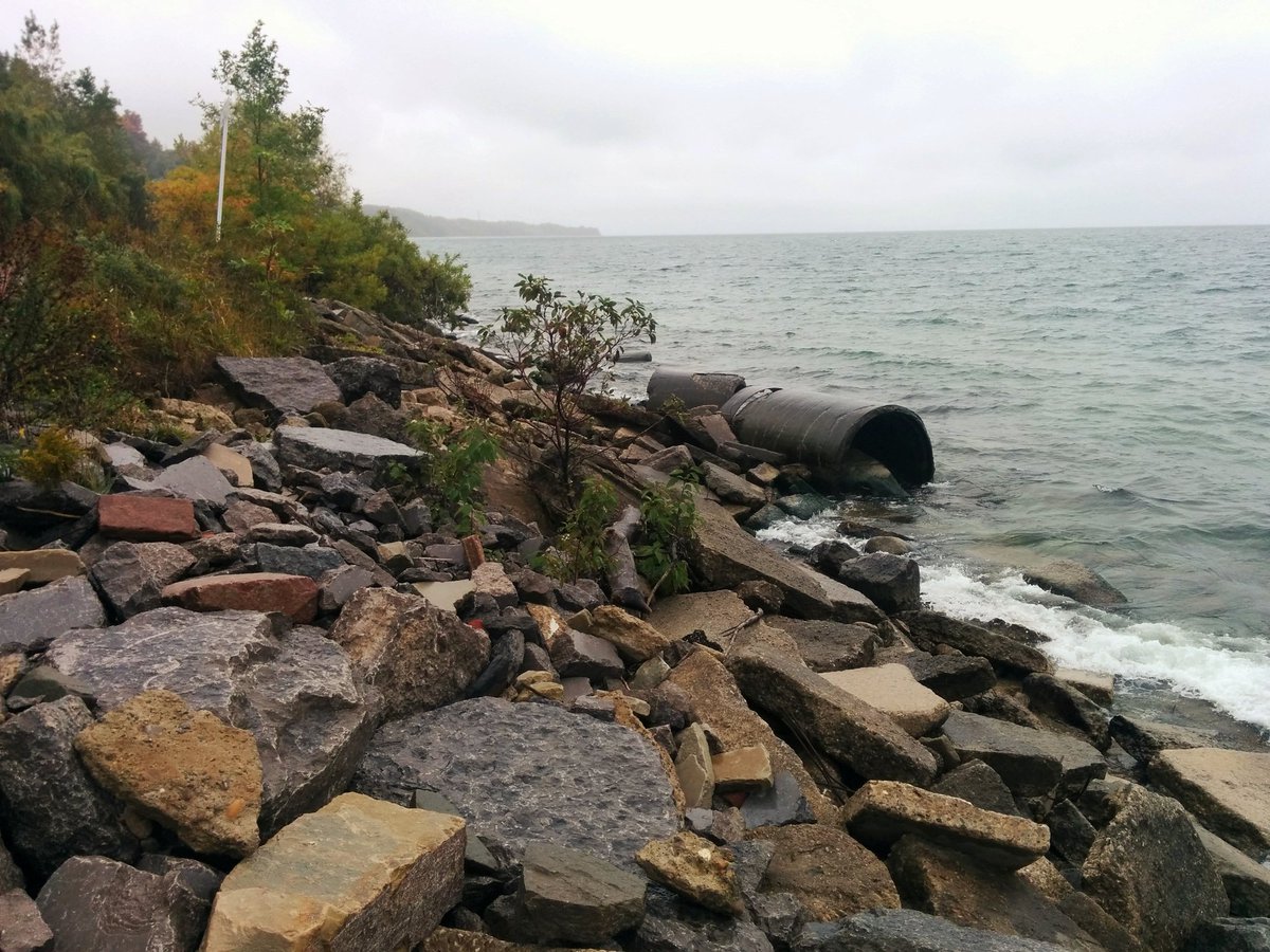
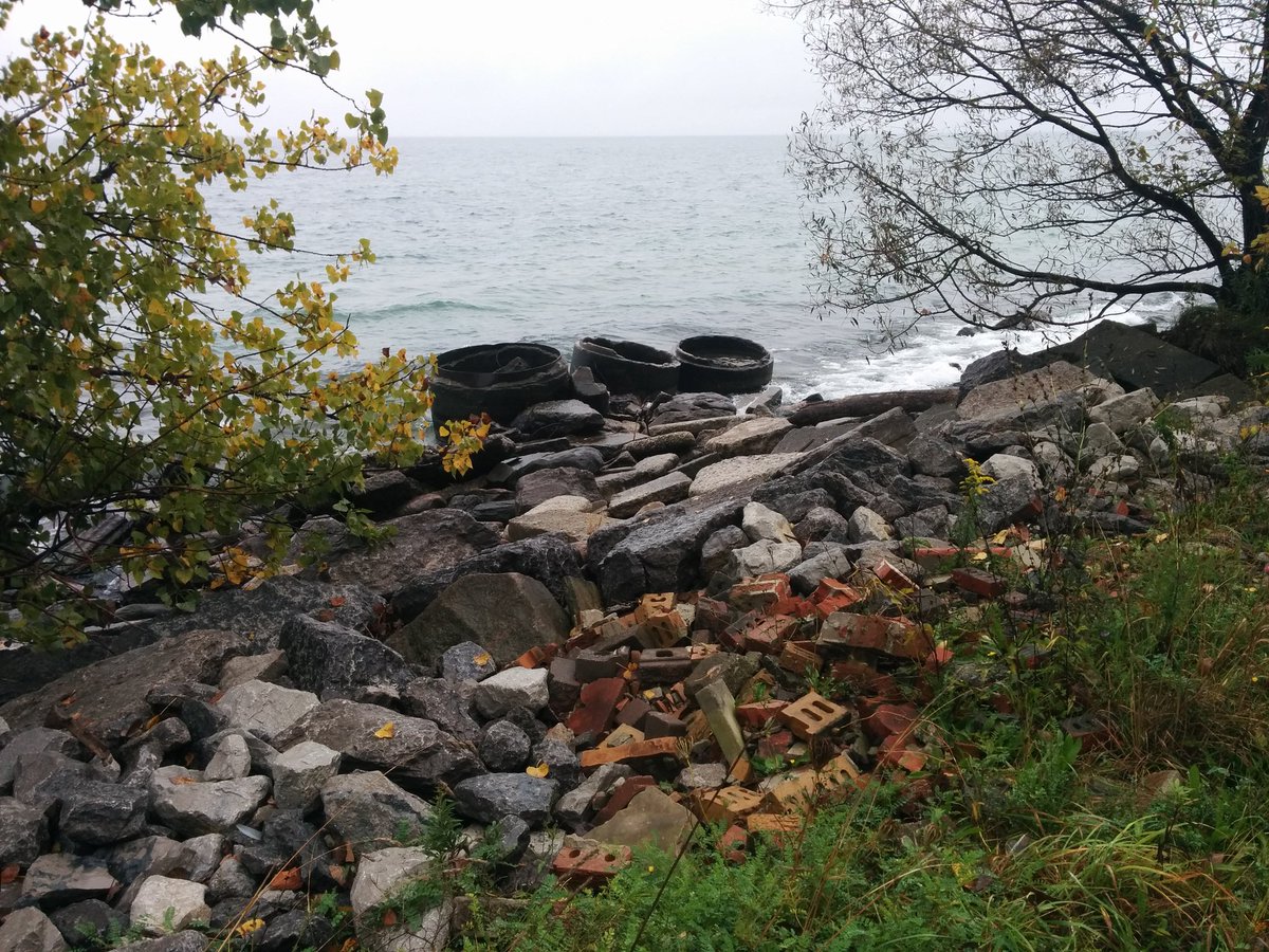
a) This is a construction road from work to lay armour stone and protect the bluffs.
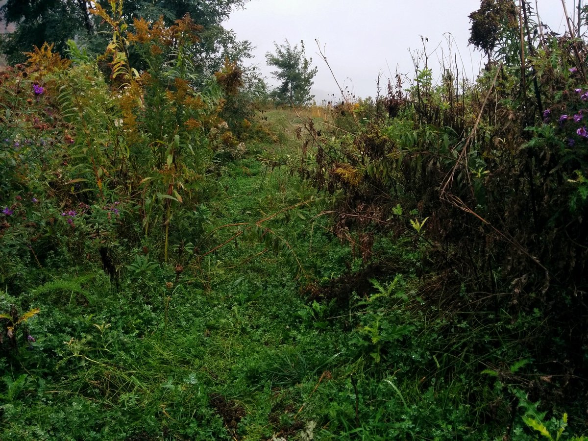
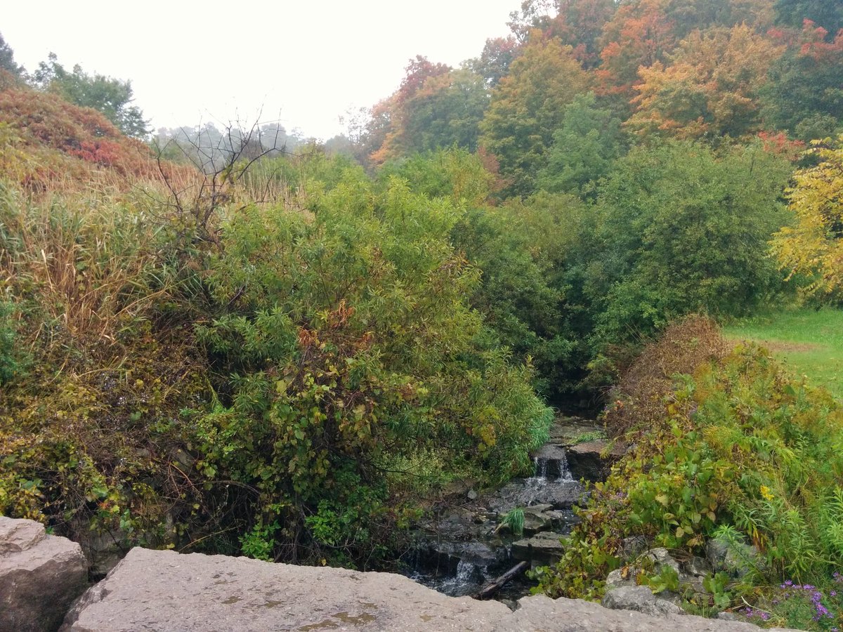
b) Natural drainage and built outfalls drain into a backwater ditch between the road and the bluffs. Makes for interesting habitat.
c) The material on the shore is construction waste, not unlike what you see on the Leslie Spit. It includes a trio of concrete pipe segments that have been here a few years at least.


At the shoreline construction access beside Guild Inn, my plan was to keep going along the water’s edge. The construction road only goes for a bit more before you get to unprotected bluffs again, so I’ve realized that plan is stupid and risky. Heading back to high ground instead.

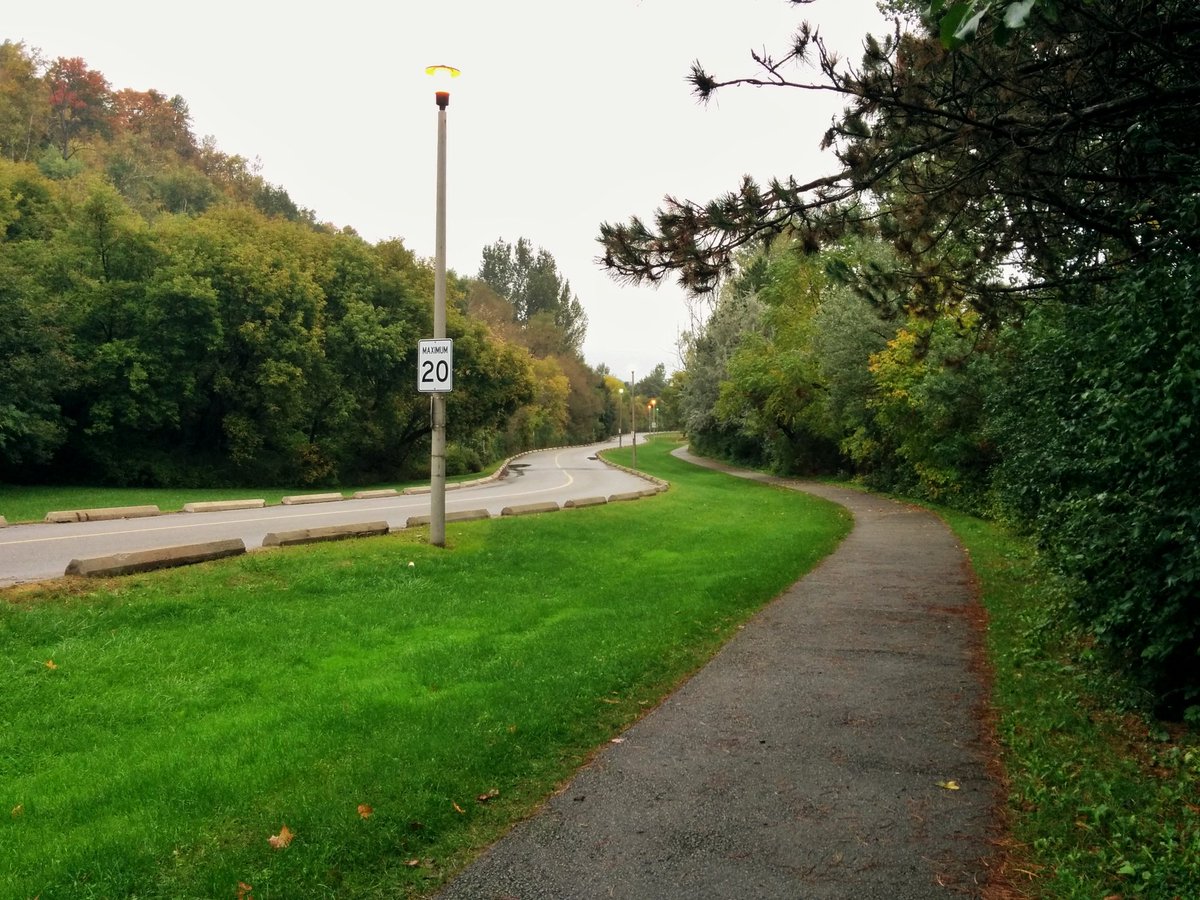
Unlike the bottom, a good chunk of the top of the bluffs is private. It’s like walking along Etobicoke’s shoreline, it’s dotted by road allowances and the odd parcel snapped up by a public entity.


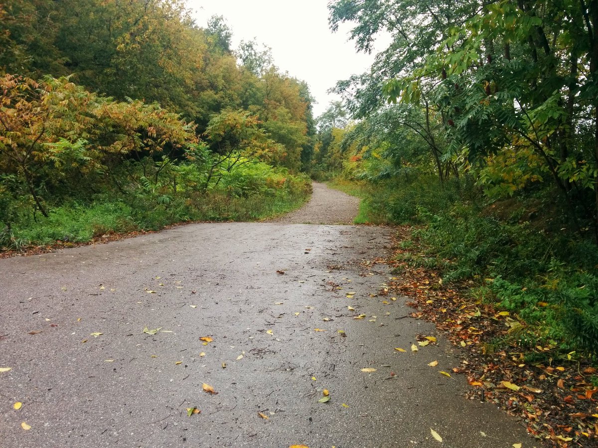
Grey Abbey Park is your ticket back to public bluffs. Or it was. Part of the trail has now eroded away. Luckily there is a good detour that doesn’t require too much backtracking.


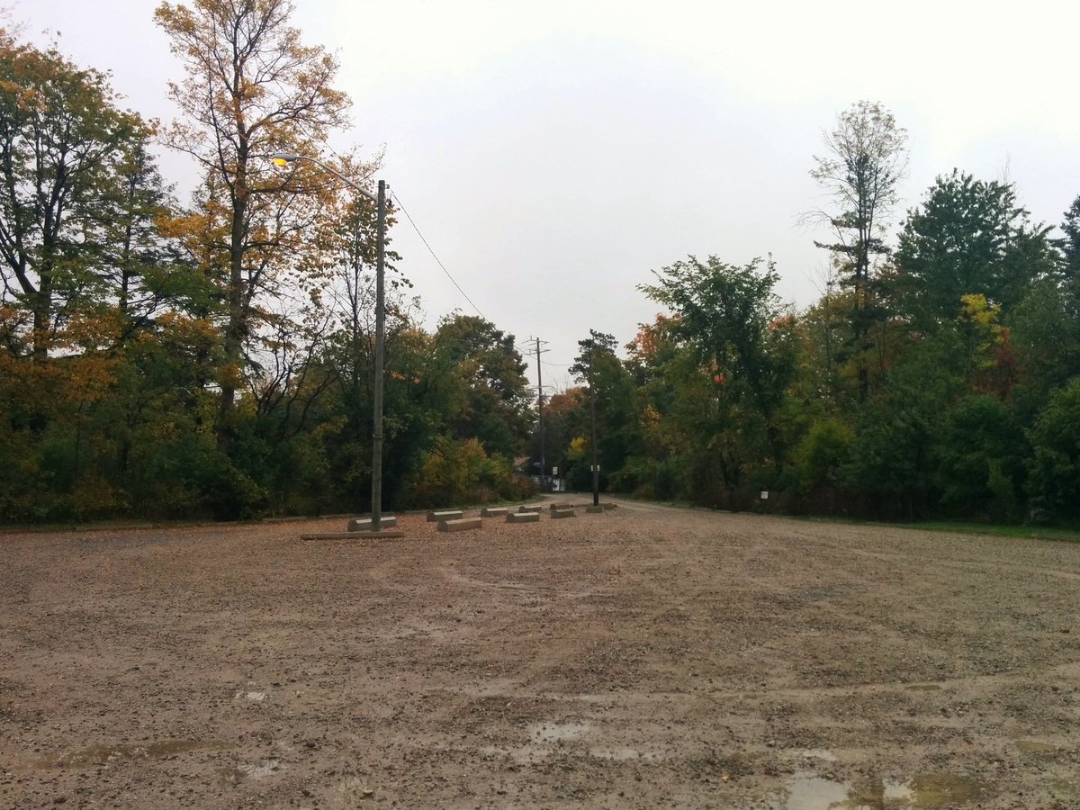
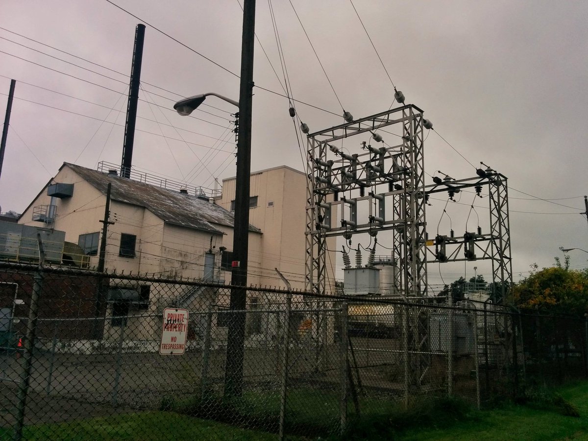
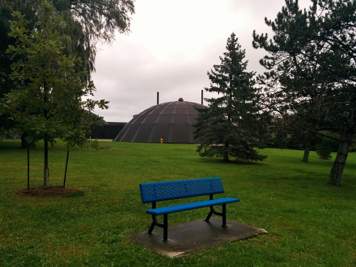
Pathway to Copperfield Road, and industrial southeast Scarborough. After wandering the side of the road, you go around the gate to the FJ Horgan Water Treatment Plant. Nope, this isn’t trespassing; like RC Harris, this is a public area, and the blue benches assure you of that.

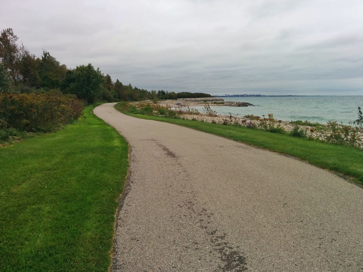
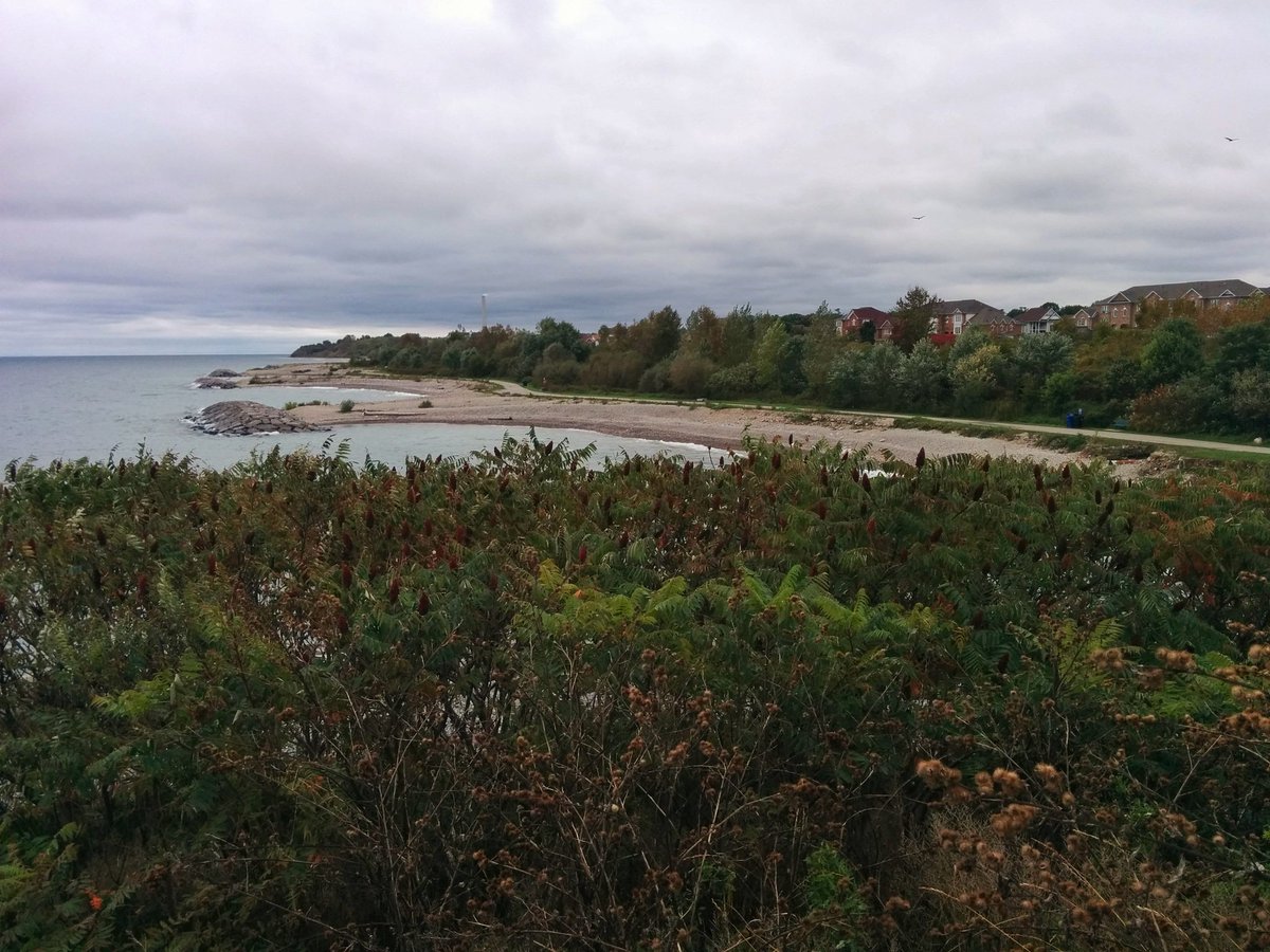
From the plant to East Point Park. Drizzle and fog have cleared, giving me a clear view of how far I’ve come.


There is a pond in East Point Park, which is actually part of another significant shoreline watercourse. It drains into a sewer, and discharges on the beach.


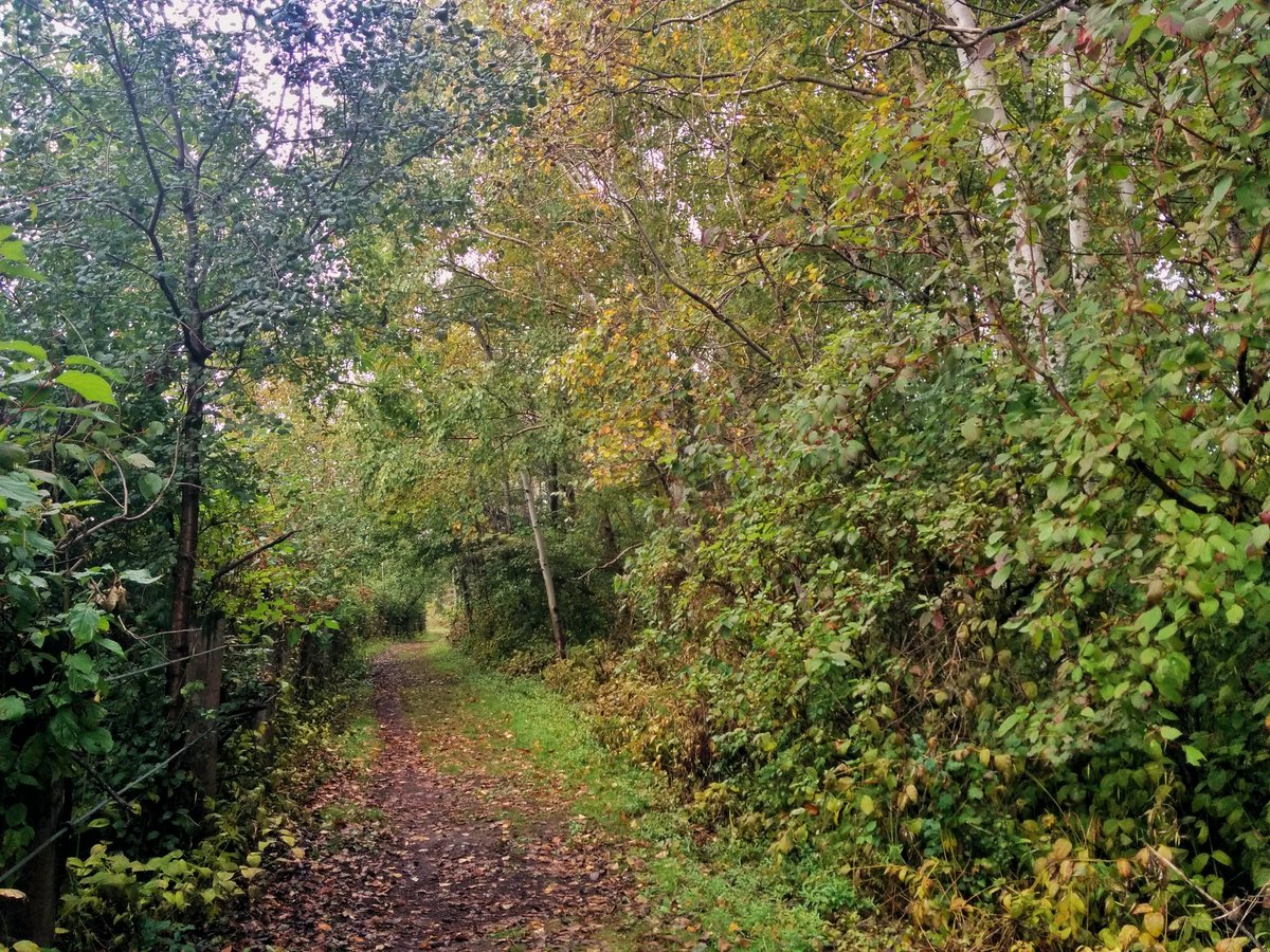
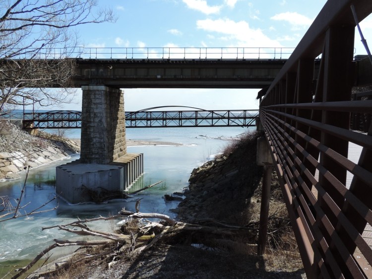
From the beach, back onto a formal trail. Across Highland Creek, and into Port Union.


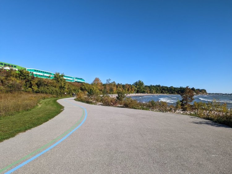
The trail winds to Rouge Hill GO. After 6 hours of hoofing it, this is where I’m ending this long journey.


Date: October 7, 2018
Length: 14.6 km
Type: Shoreline
Related Walks
Some of the western bluffs from above
West Bluffs
Journey along the water’s edge to the west
Lower West Bluffs and Ravines

More of the shore, and Lower Highland Creek
Lower Highland and Shore
Last eastern shoreline stretch to the Rouge River
Rouge River I