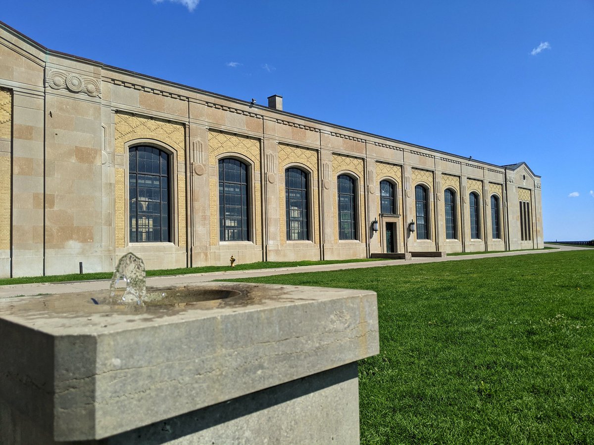
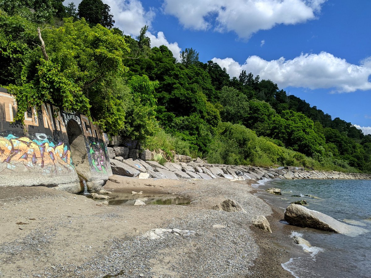
Good morning from the southwest corner of Scarborough. Today I am going to take a walk along the foot of the Scarborough Bluffs. I’m starting at RC Harris Water Treatment Plant, at a ‘secret’ access point that I always thought was a private beach. Let’s go.


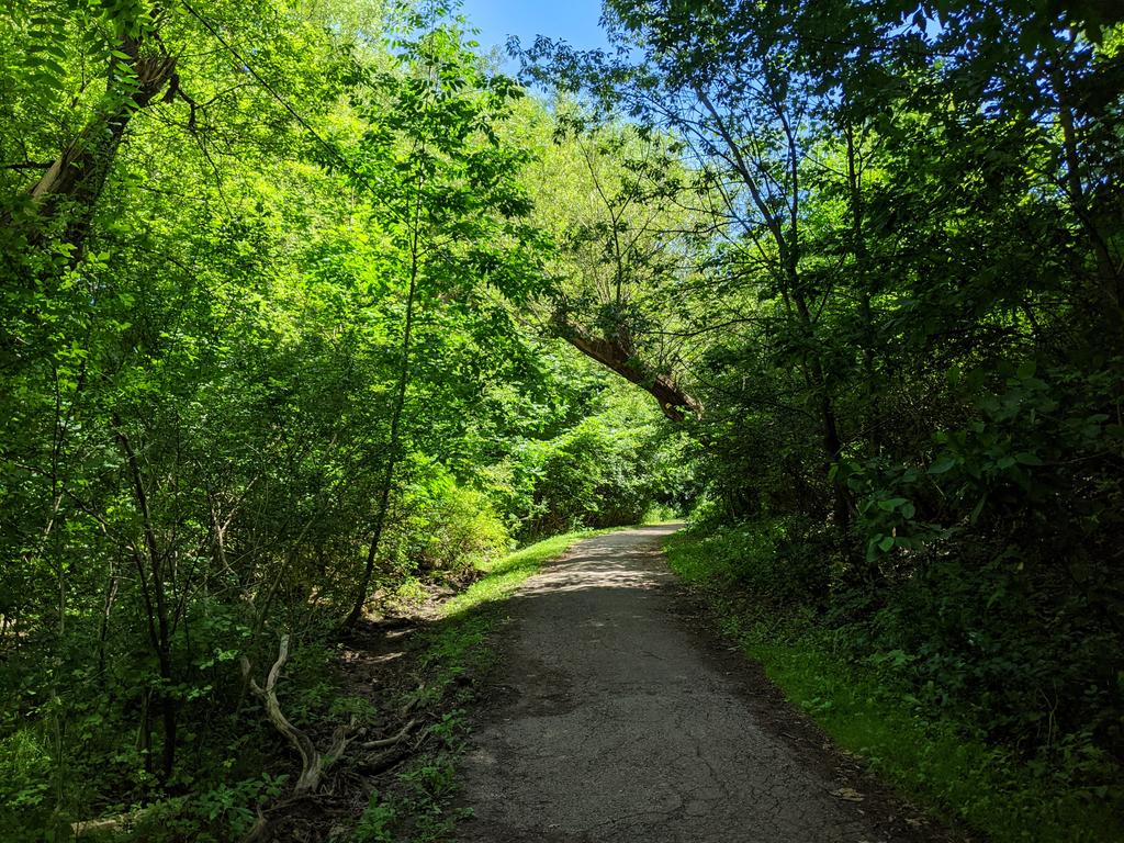
5 years of walking in Toronto and I’ve never been here. Lush bluffs, clear blue waters, storm outfalls. What’s not to love?

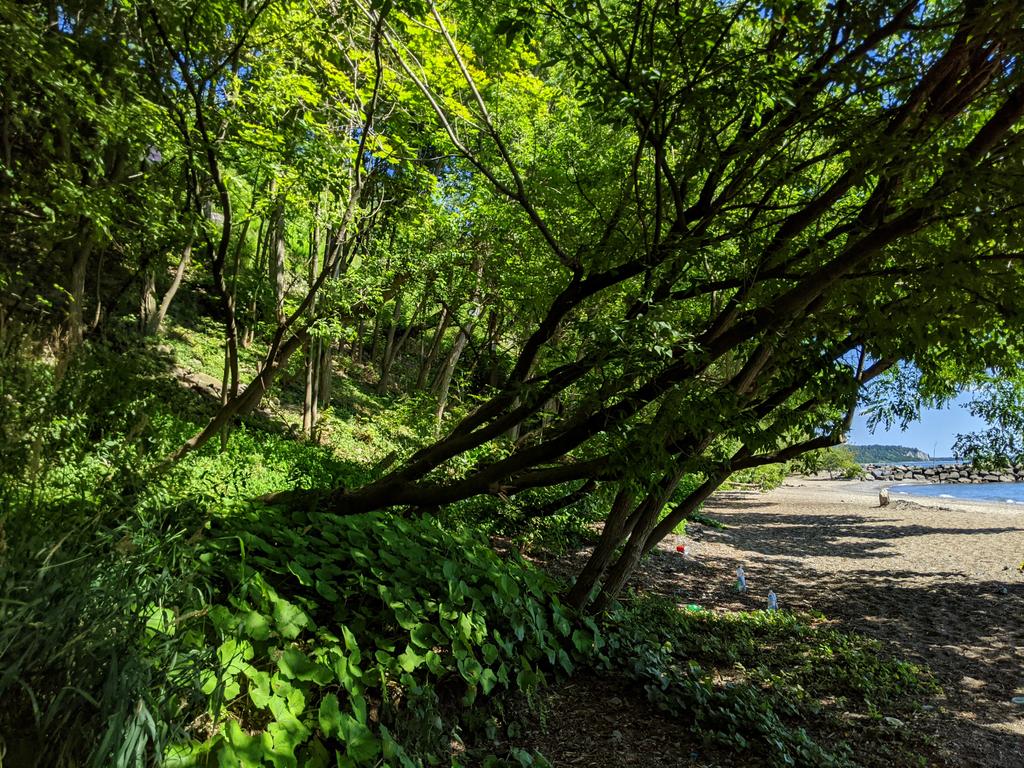

Despite outward appearances, this is all public land, from the bluffs toe or higher to the water. Only exception is below The Hunt, but fortunately this is a case where a golf course isn’t a barrier. Sandy beaches and rocky piers continue.

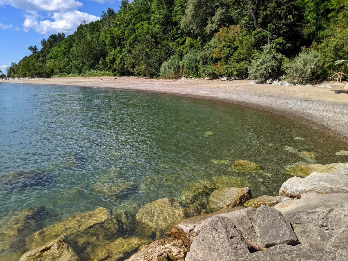
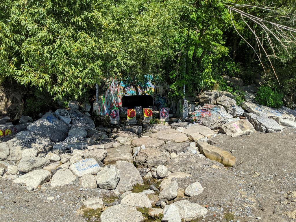
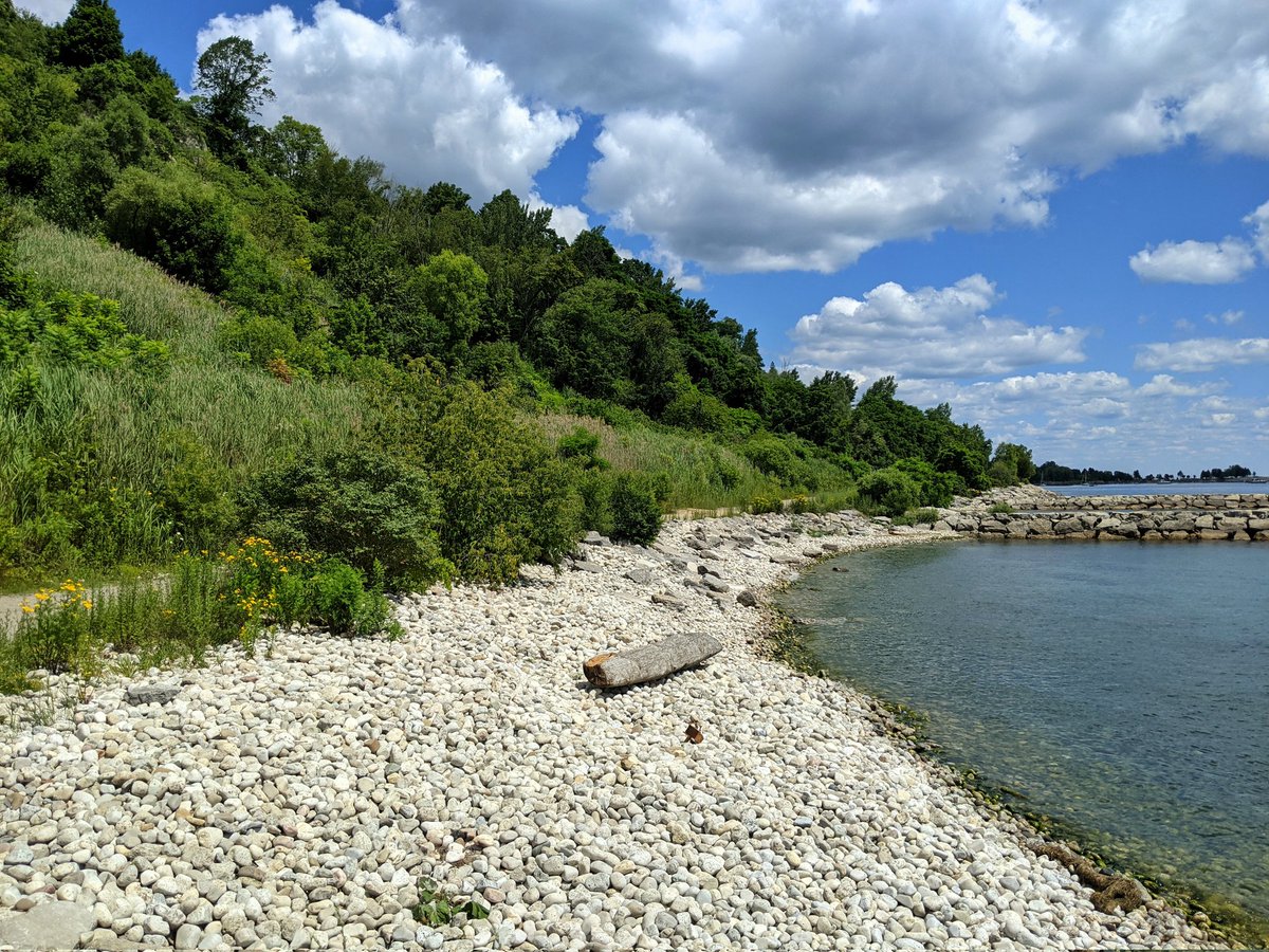
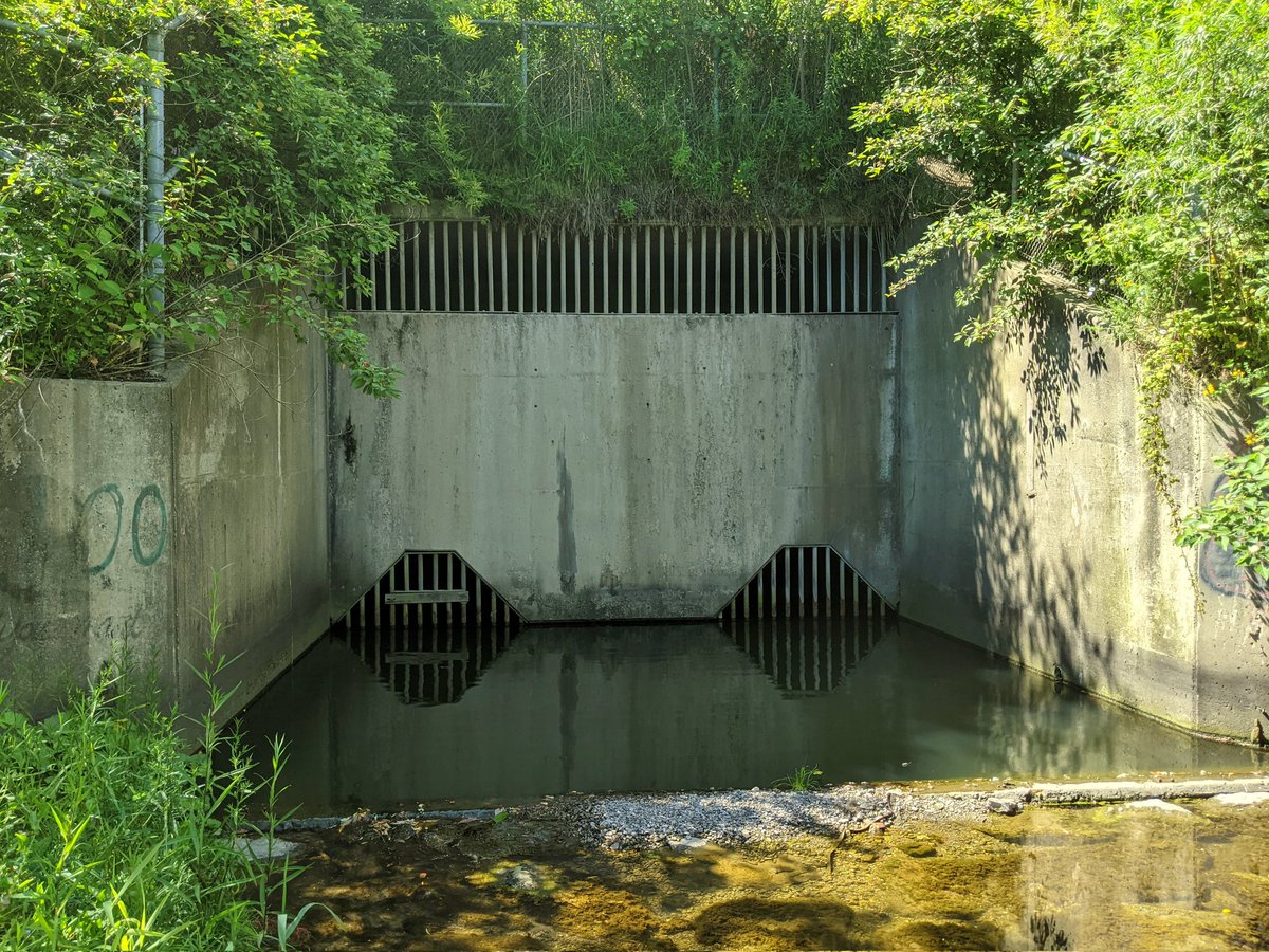
A short stint of toe erosion protection. Old stormwater outfall that smells like a CSO. A brief respite of beaches, then back on the rocks.
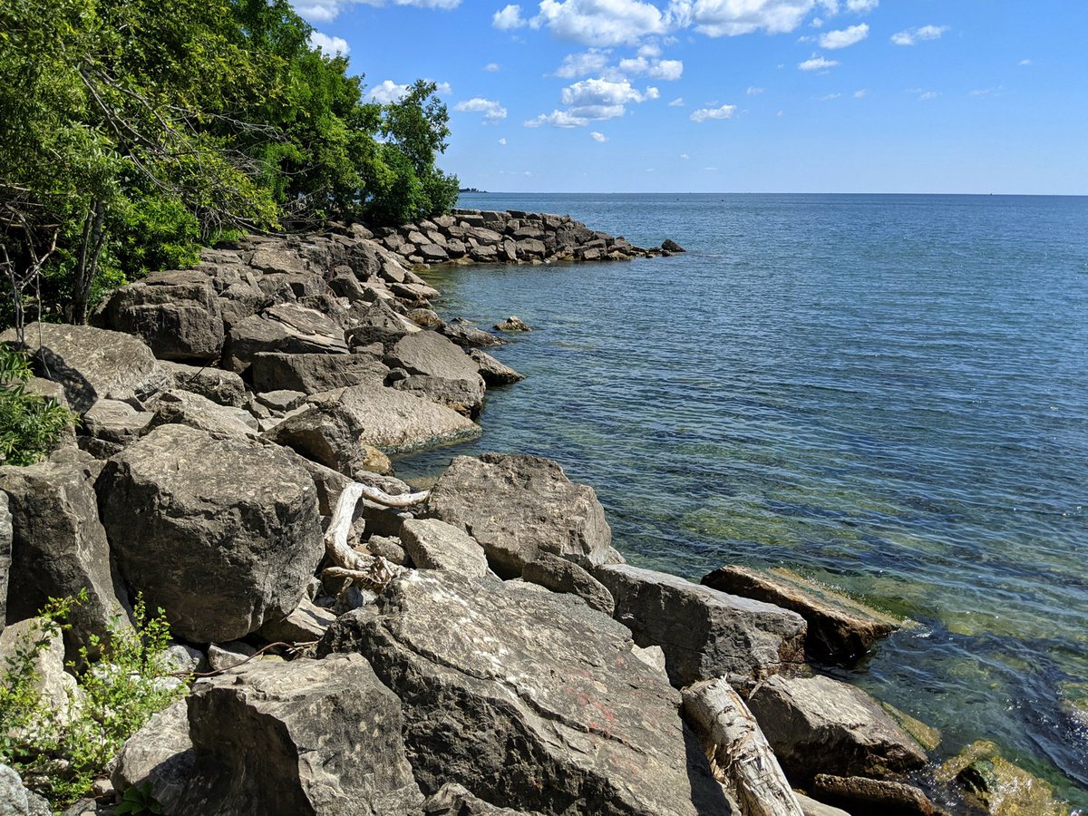

Rock hops continue until another stretch of beaches. More decorated outfalls and forested pier refuges.
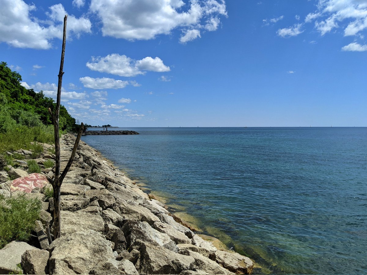

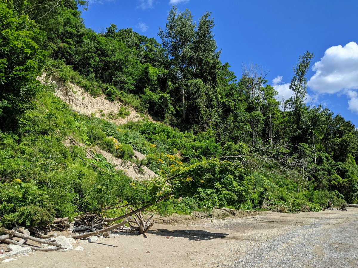
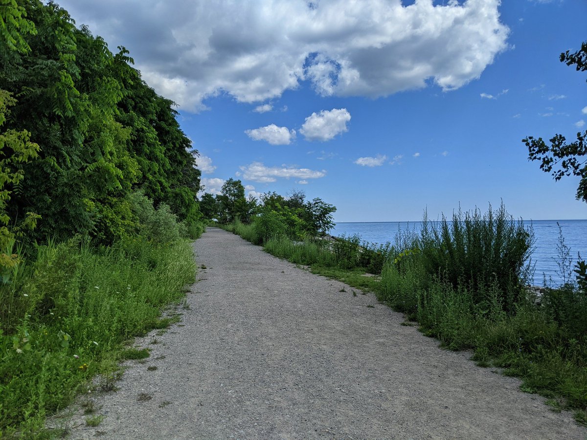
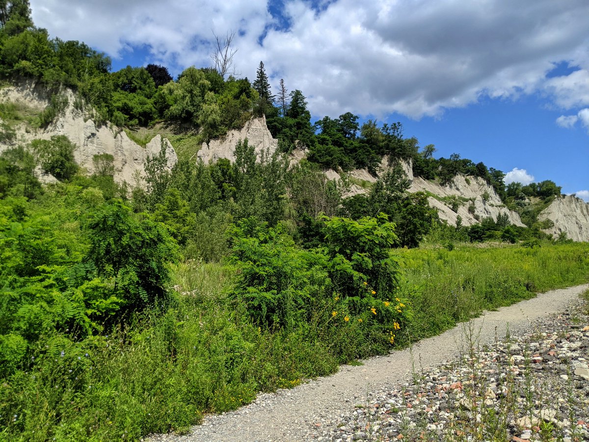
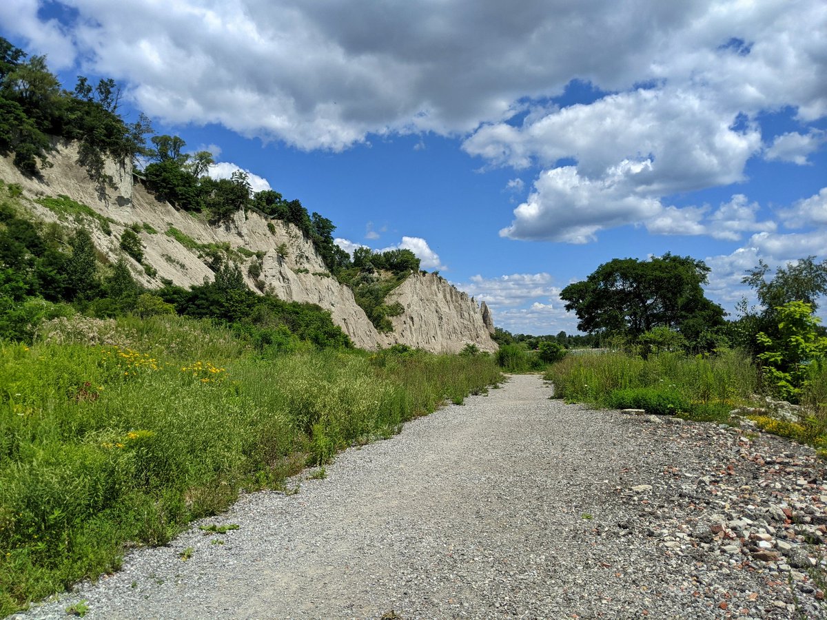
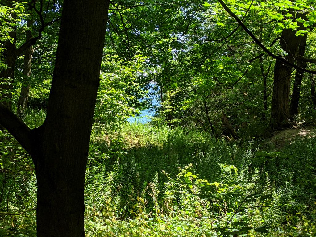
A last bit of rocky terrain brings you to the toe access point near Scarborough Heights Park. It becomes a dirt road, an example of what it could be all the way to the west. Clouds are slow and fat, dampening the view.
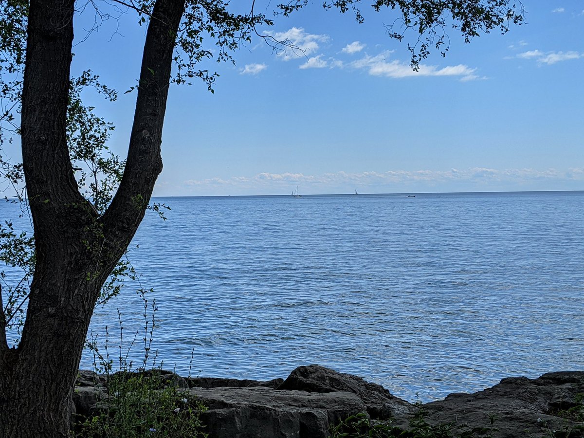
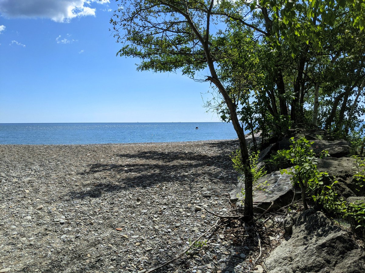
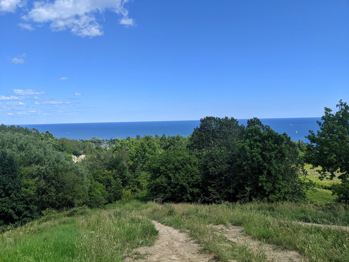
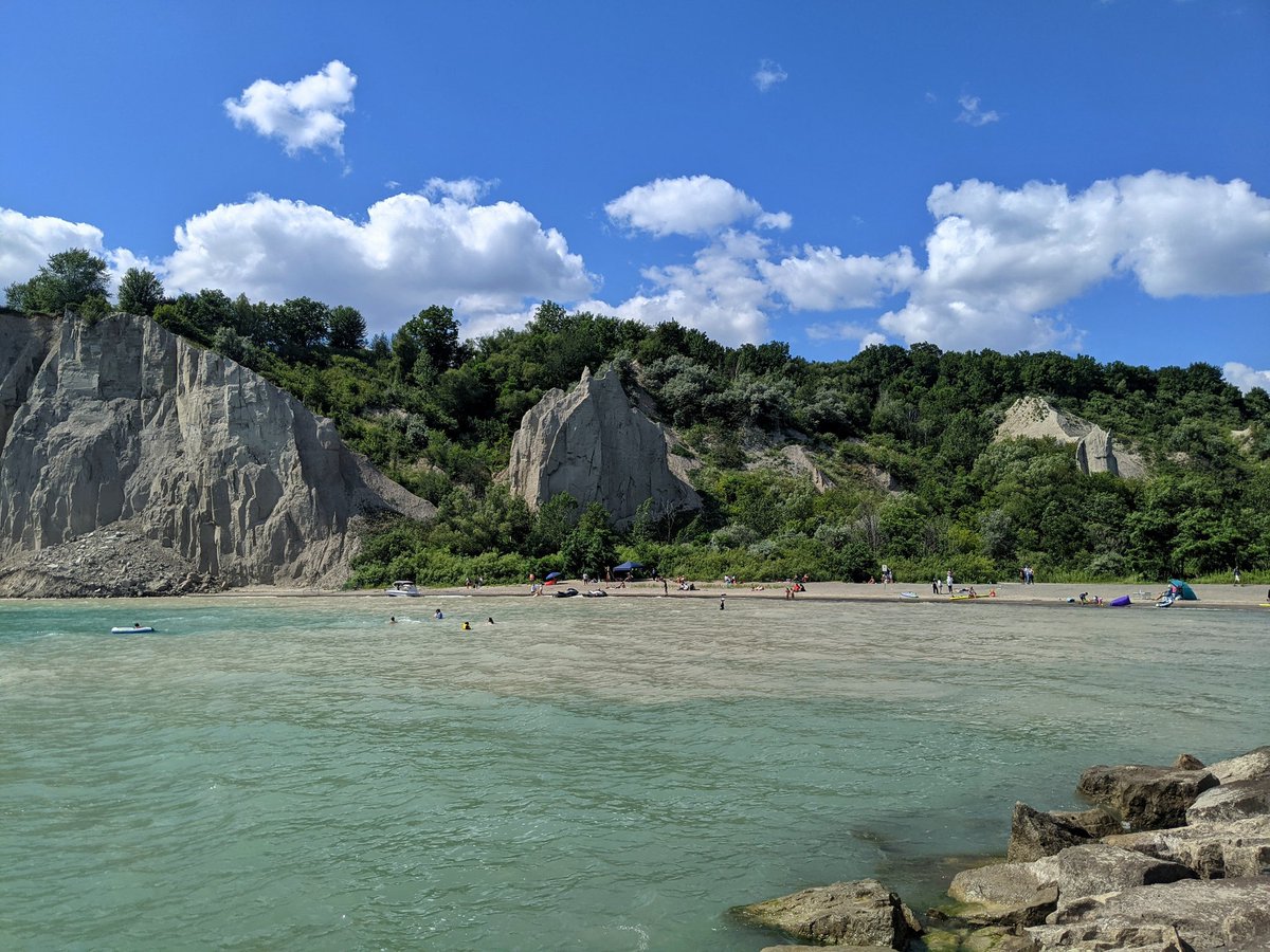
Sunshine comes out just in time for my arrival at the posted child of the Scarborough Bluffs.

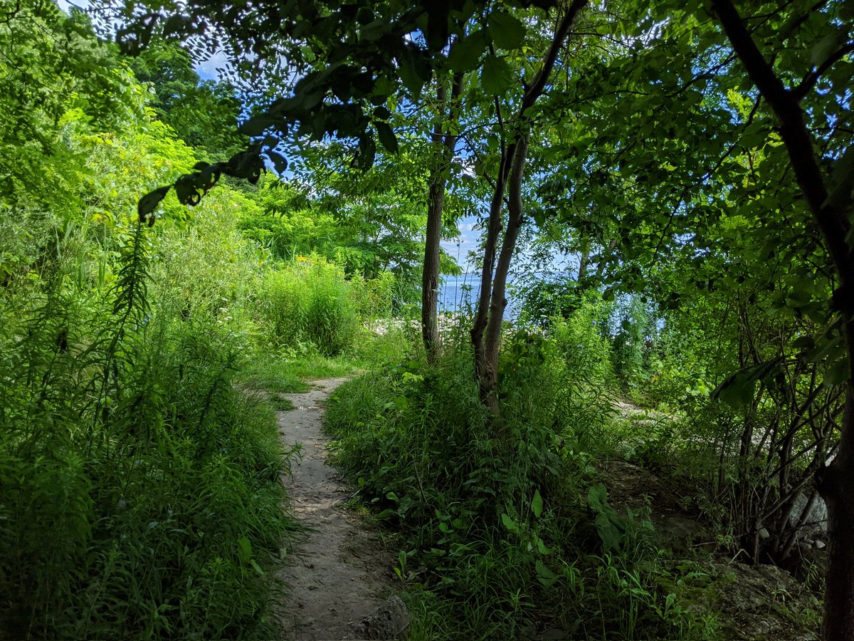
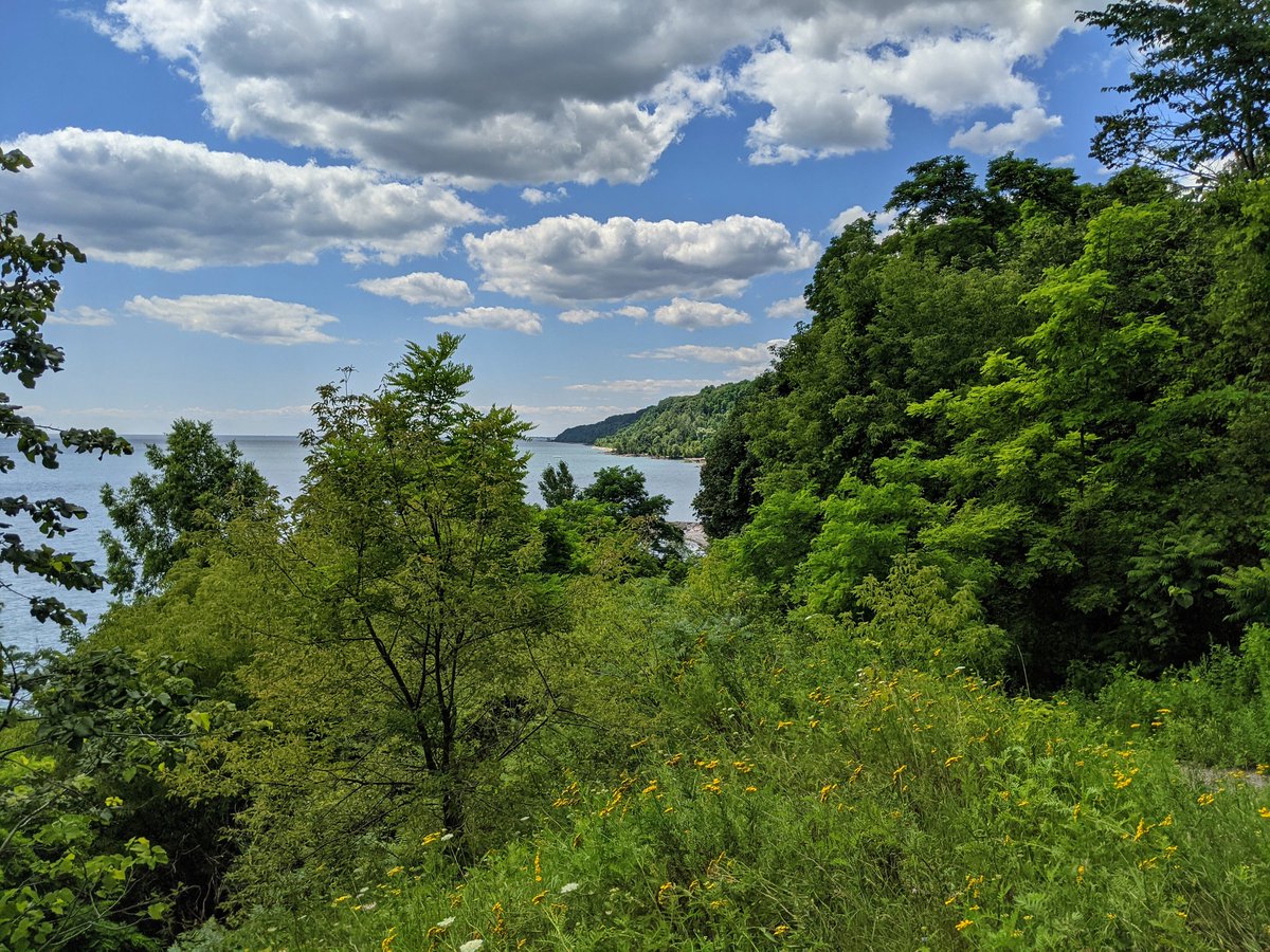
The gap between this western lookout and Buffers Park is too risky and underwater. Gotta go around, but no harm done. I’m switching gears as I’ve covered the ground east of here before. I’m going to trace some smaller streams that drain the uplands.


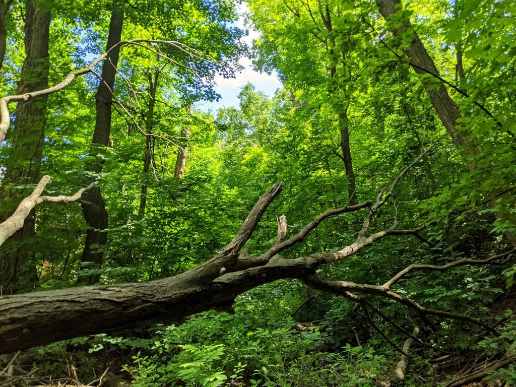
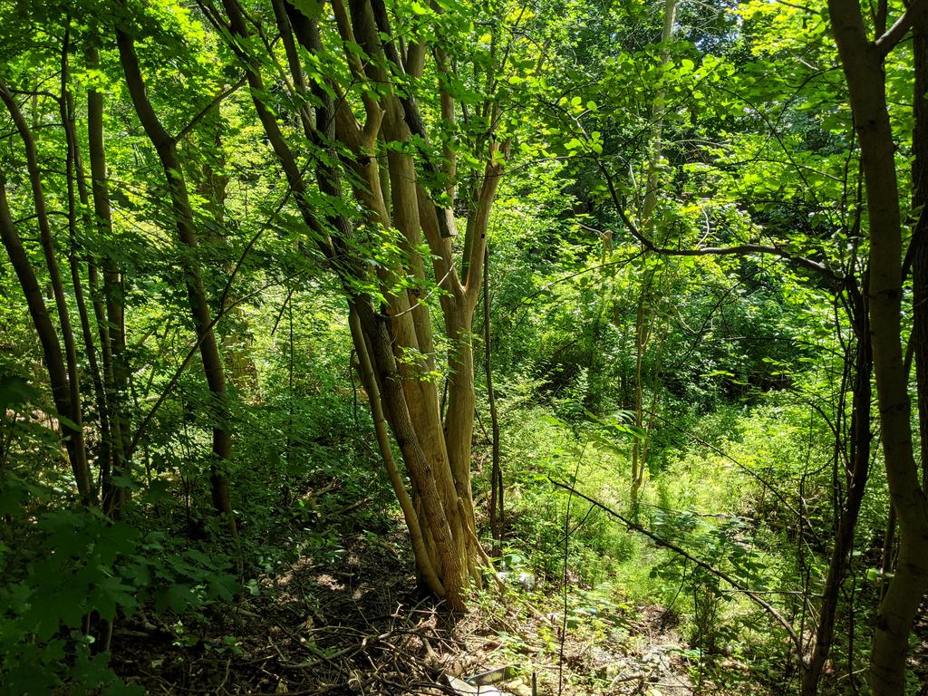
First up is Cliffside Ravine. Quite strange, it starts off as a paved trail, but then continues as overgrown much, but there’s still lampposts. Eventually it ends at someone’s backyard? Gotta double back, I have no idea what just happened.


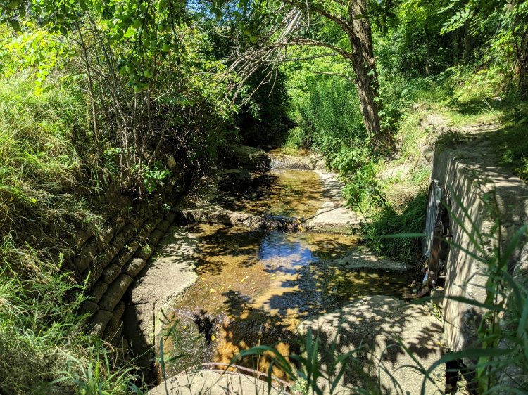
Second is Midland Ravine. If you’re not looking for the south end you’ll miss it. Despite that, there’s a more defined footpath, and it will lead you somewhere.


Next up is an unnamed feature bisected by Chine Drive. No access at this point.
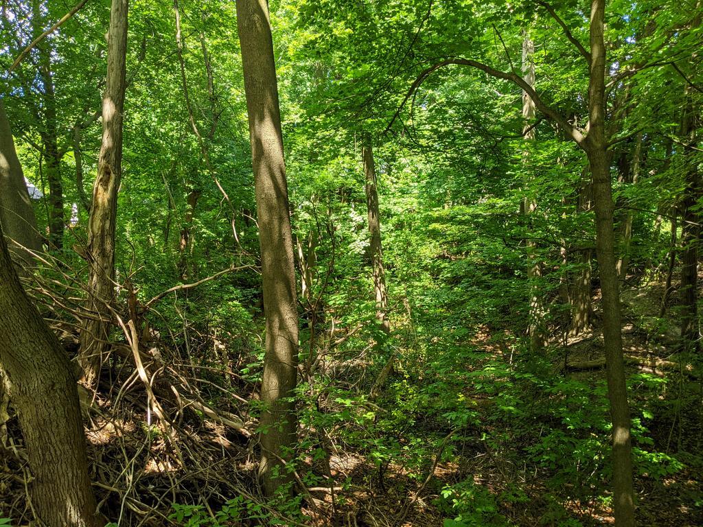
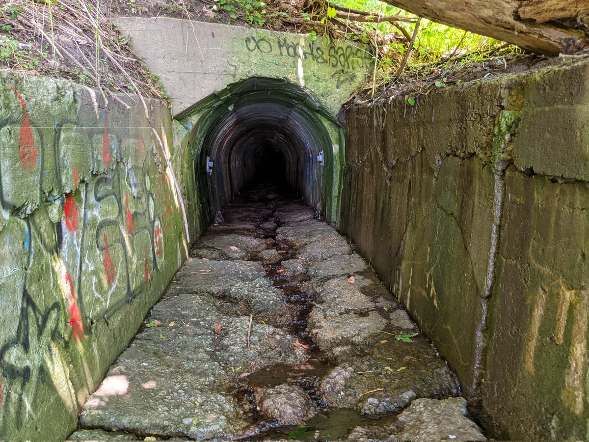
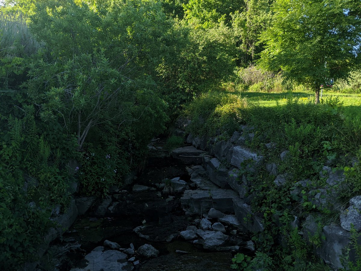
Public trail starts at the south end of the drive. It’s a piddly surface drainage route, but the major flows appear piped. There’s a hint of where it is based on the manholes and this dip in the bluffs.
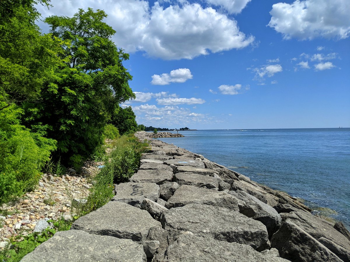
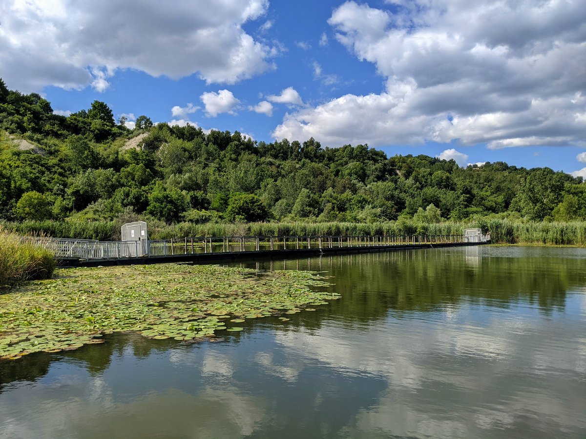
All the way around, and down the hill to the outfall. Confirms it is piped, you couldn’t handle all of that at the surface without significant erosion. Dumps into stormwater management ponds.

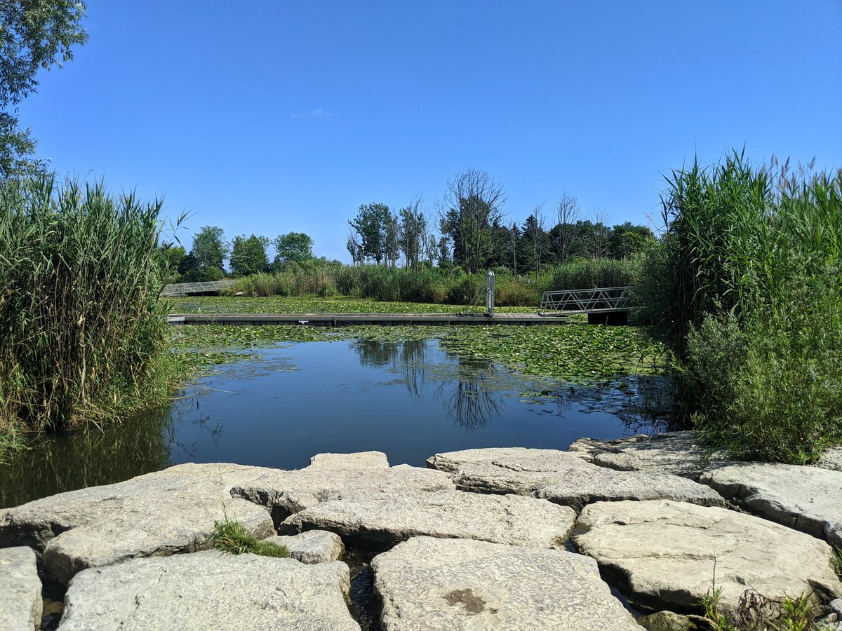
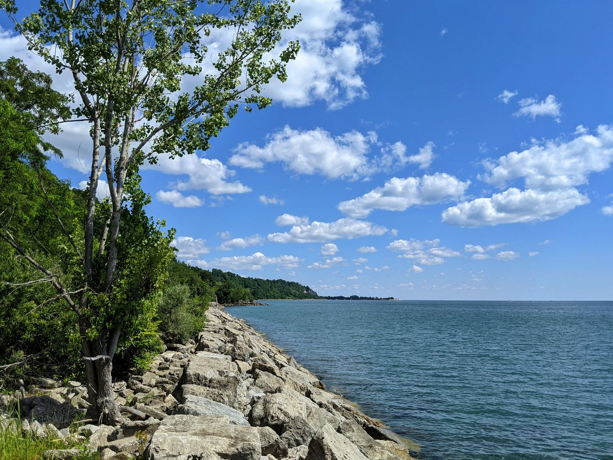
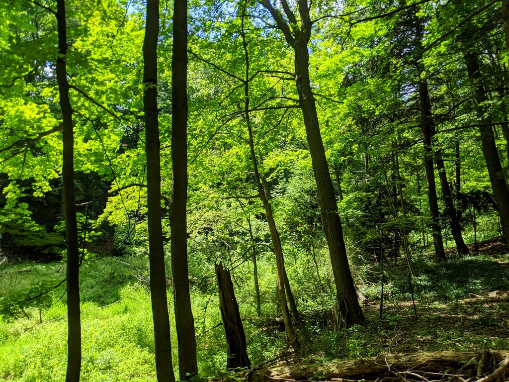
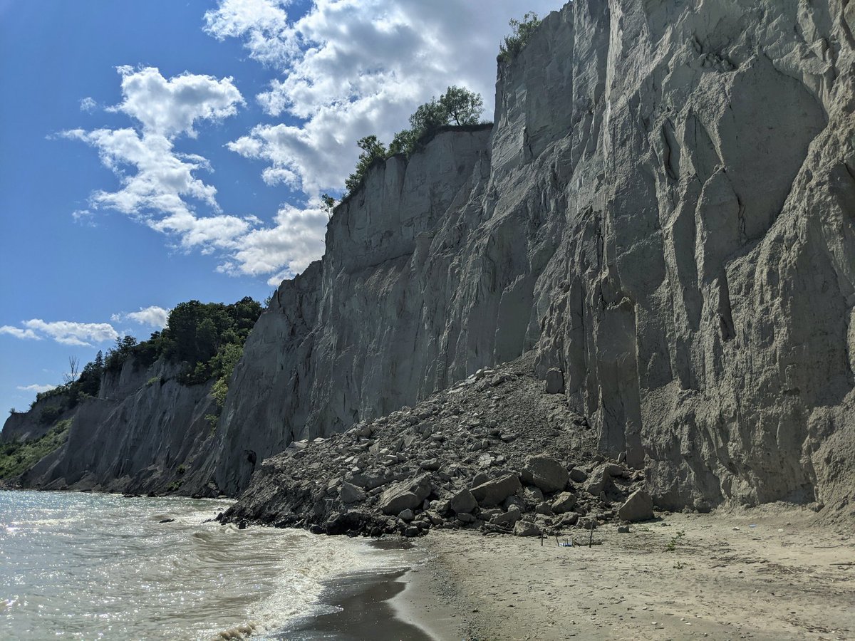
More bluff shots, this time from the east side of the gap. The recent collapse is evident. Around the southwest headland, and along the storm ponds. Time to head back up.

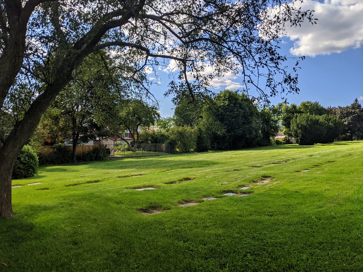
The foot of Brimley is no accident. This used to be a ravine. While it’s prominent enough in historic aerial photos, there’s no trace of it today.
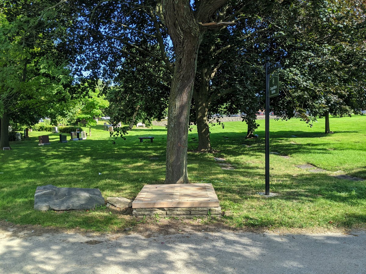
Across the street at Resthaven Memorial Gardens, there’s hints of the old creek where the manholes lie, but nothing else. Respectfully searched between the graves, but this was buried long ago.
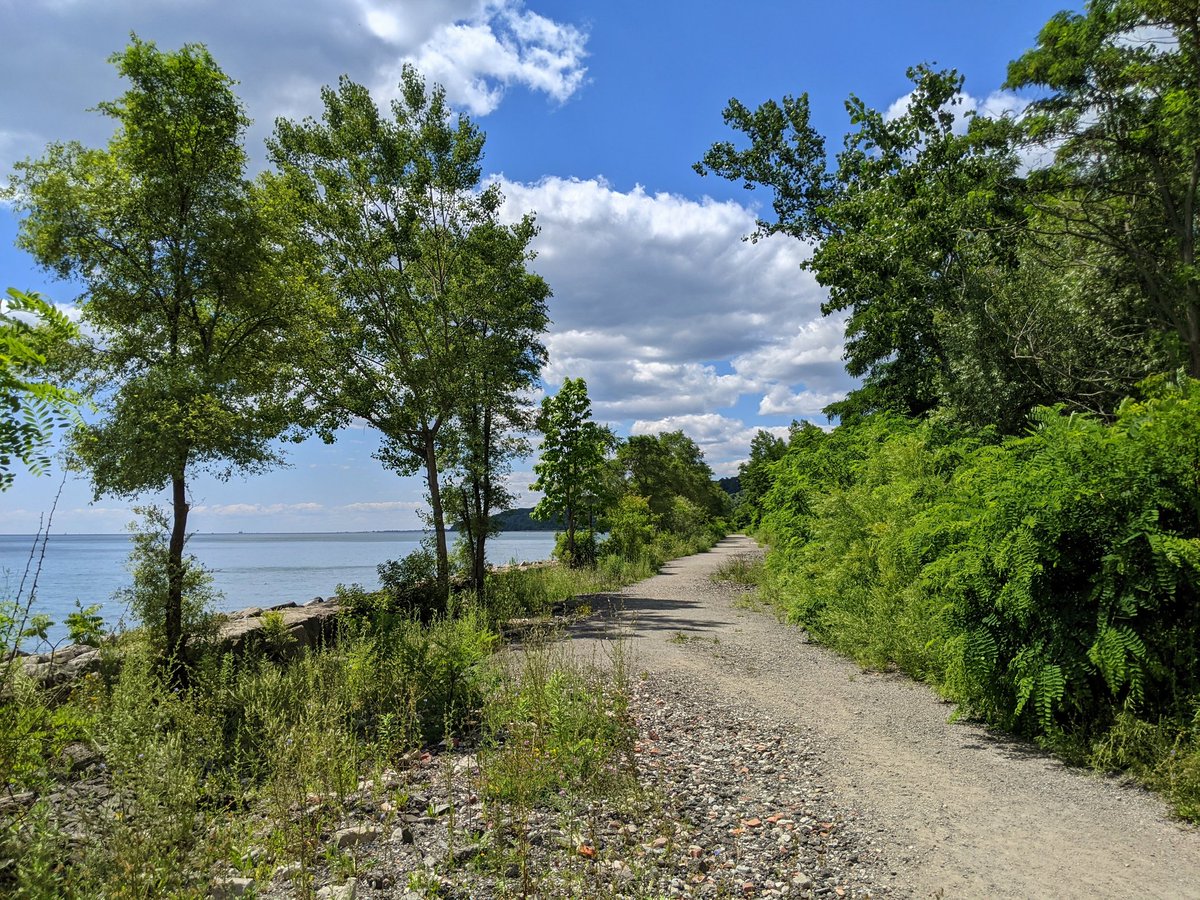
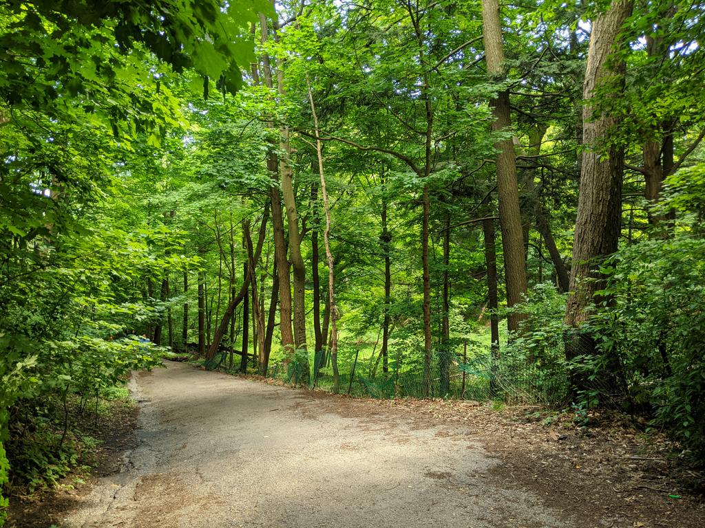
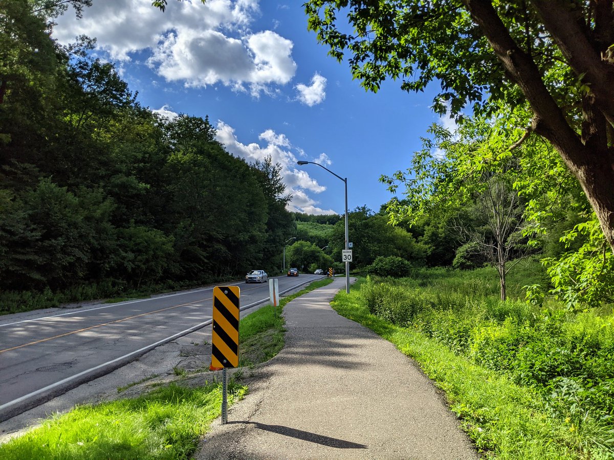
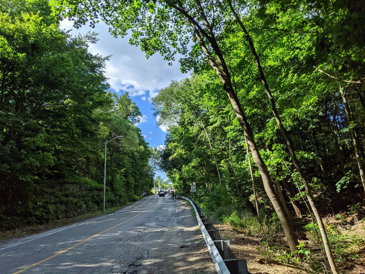
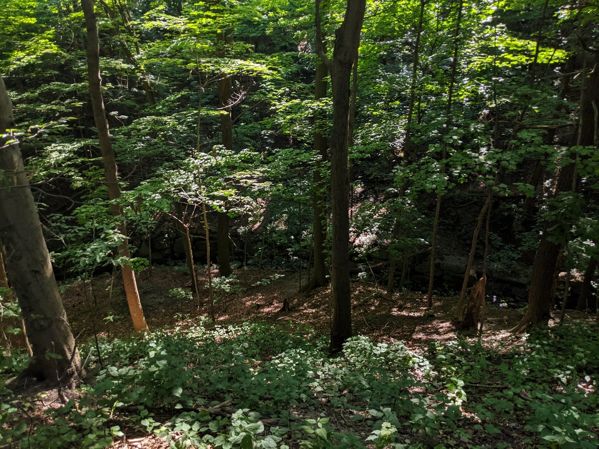
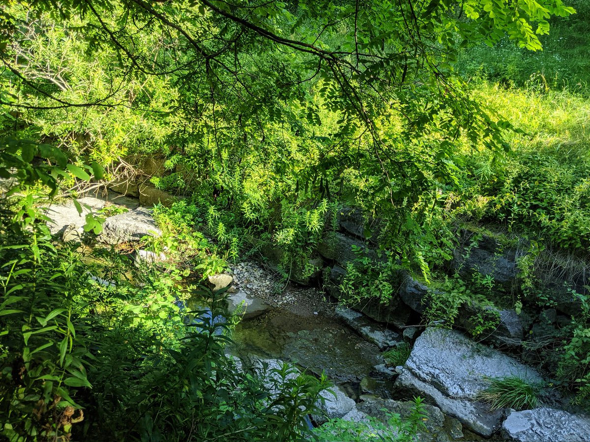
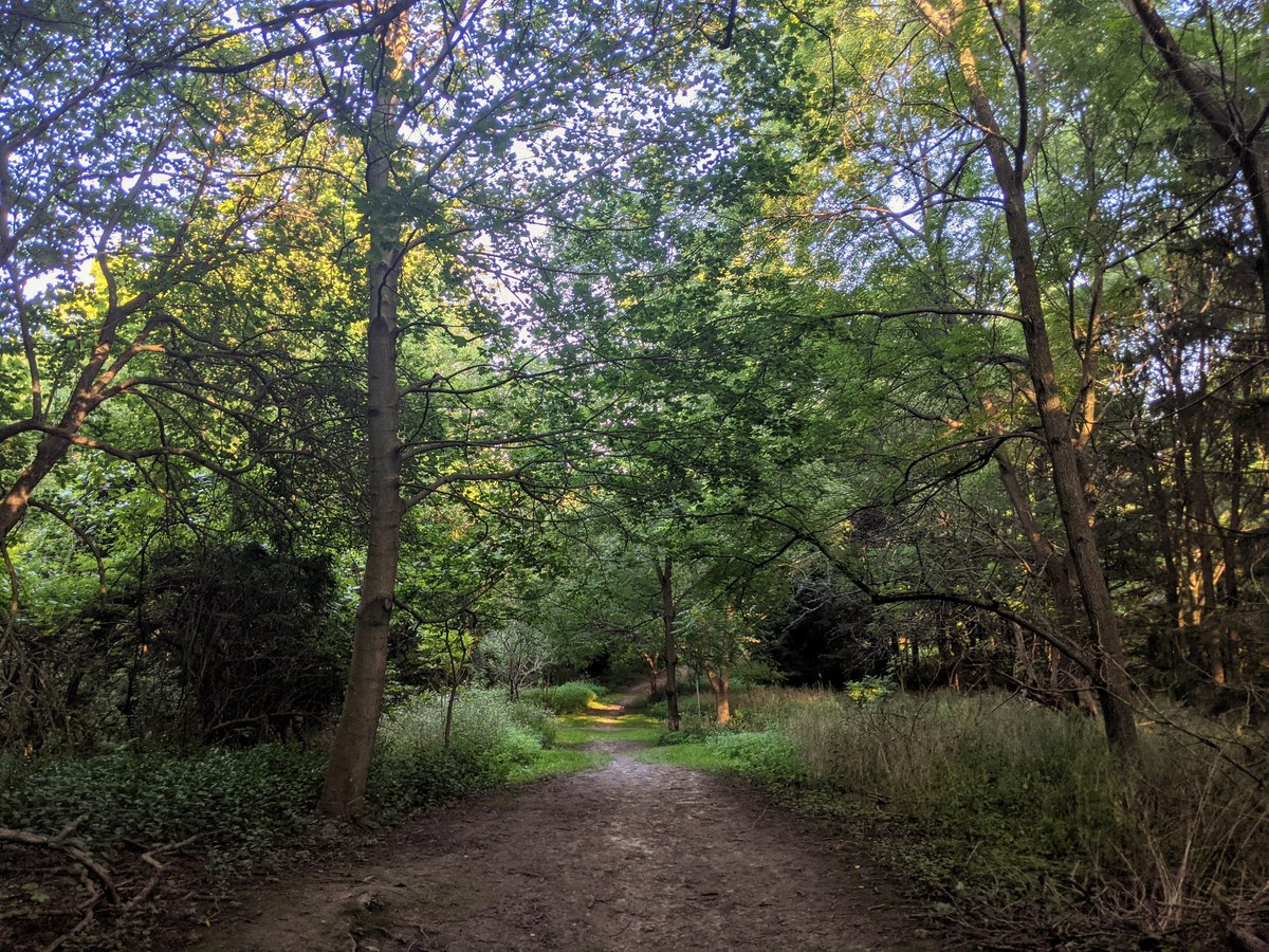
Last bluff ravine: Gates Gully. I probably came here 6 years ago, it did not look like this. It was a muddy footpath with lots of erosion and washouts. There’s been a ton of work since then, and now shops quality stonedust trail will get you down here. Creek looks better too.


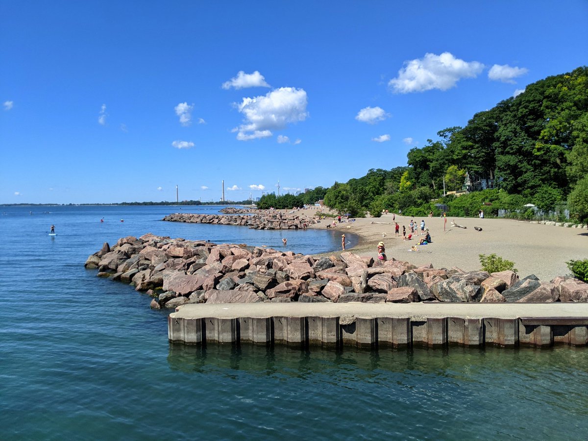
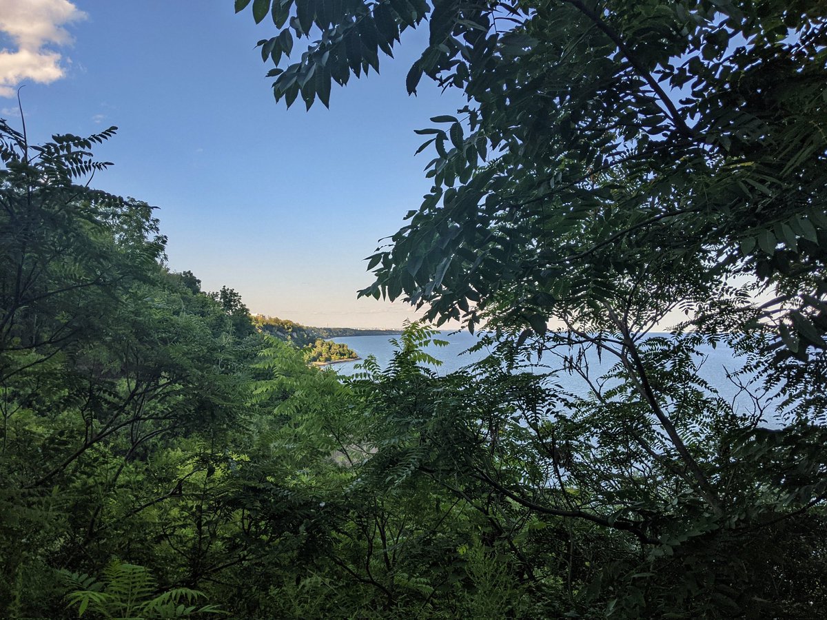
Made it to the confluence with the lake. Always breathtaking. Also fairly busy, kudos to you Toronto, you know how to enjoy your public space.


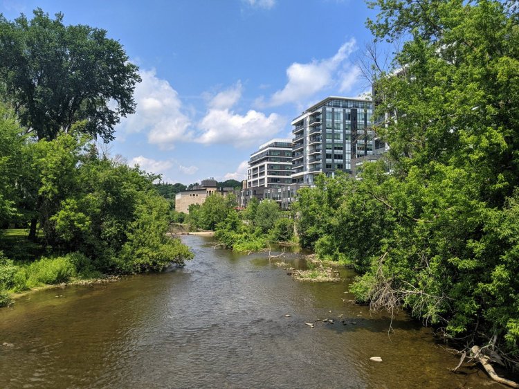
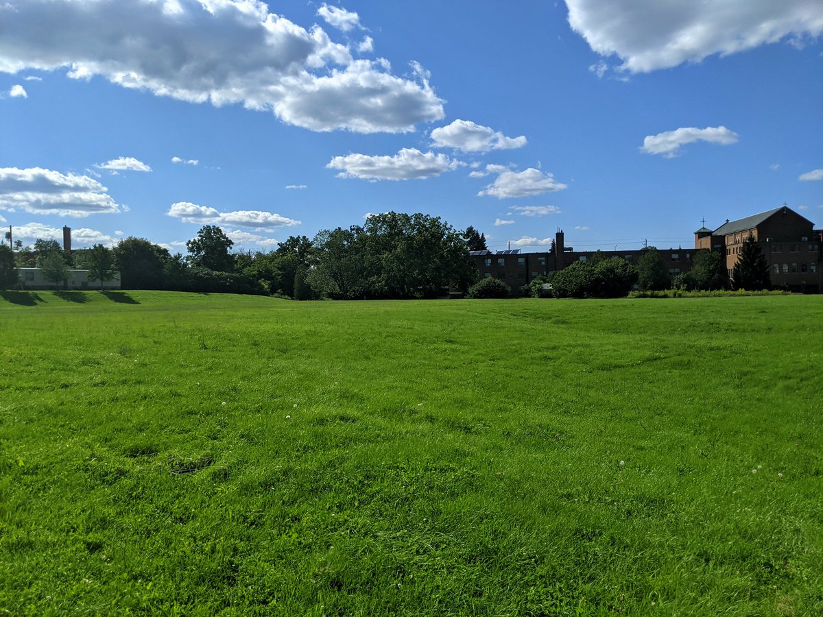
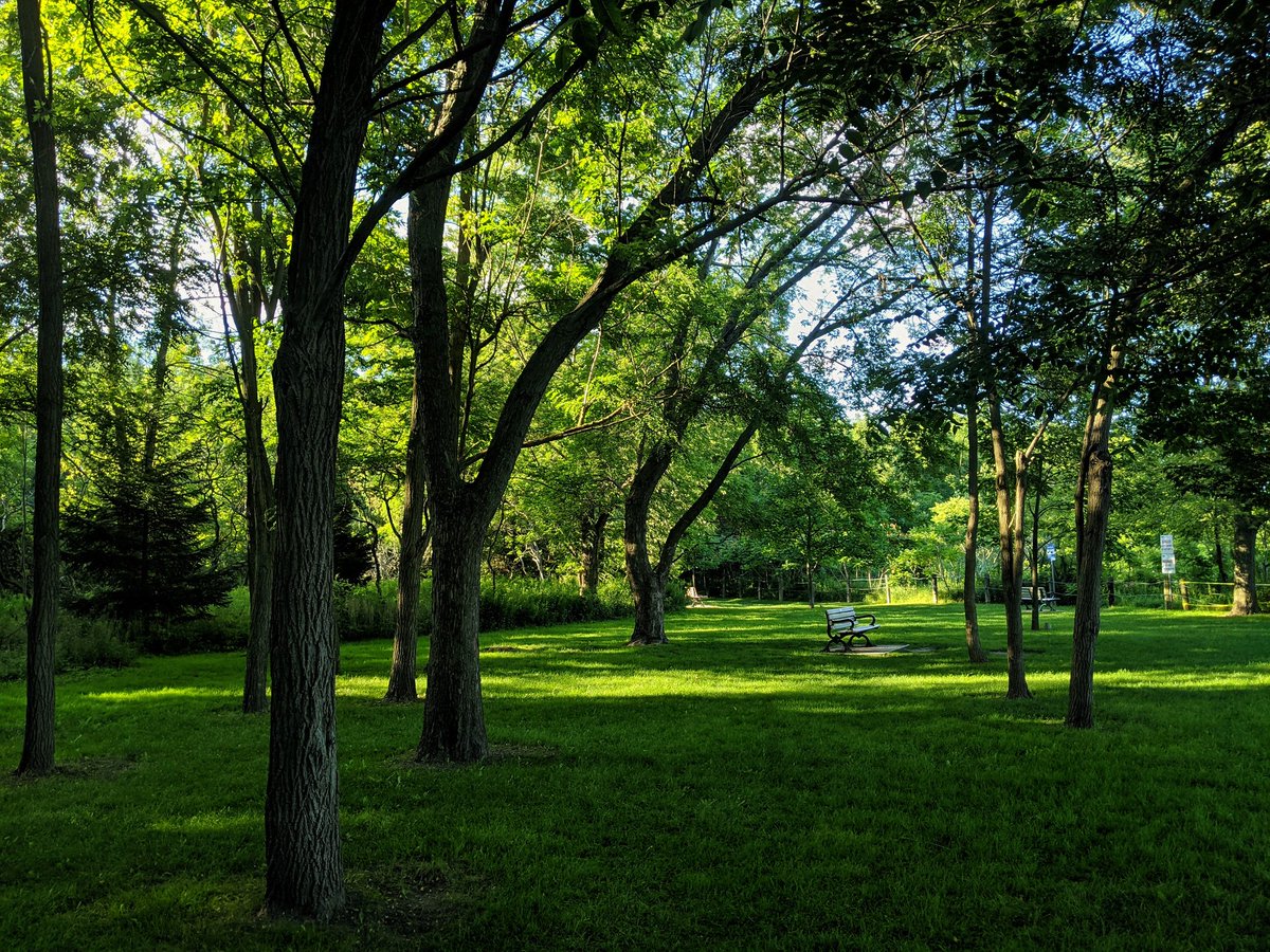
I convinced myself to check out one last thing at the south end of Scarborough Village. I have to cut through Sylvan Park to get there, and I didn’t realize what a hidden gem it is on its own. Another check for places undiscovered that are blowing me away today.

Well, I can say I enjoyed Sylvan Park more than this simple pathway cutting up the hill. Still neat. That’s going to do it for today. It was a slice, Toronto.


Date: August 2, 2021
Length: 24.0 km
Type: Shoreline

Related Walks

Shoreline continued to the west
Shoreline V
Views from atop the bluffs west of Neville Park Loop
West Bluffs


Shoreline continued to the east
Shoreline IV