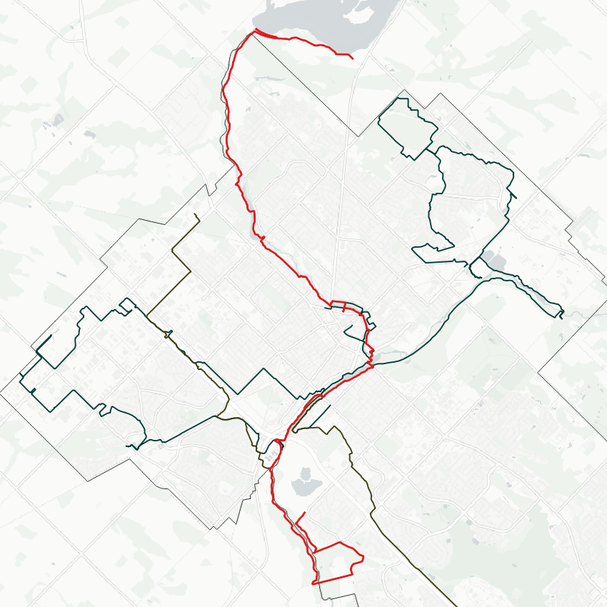
Good morning from southwest Guelph. Today I will be kicking off the launch of the fourth Metroscapes city by following the Speed River, starting around the downstream end of the city limits, and finishing upstream at the Guelph Dam. Let’s go.


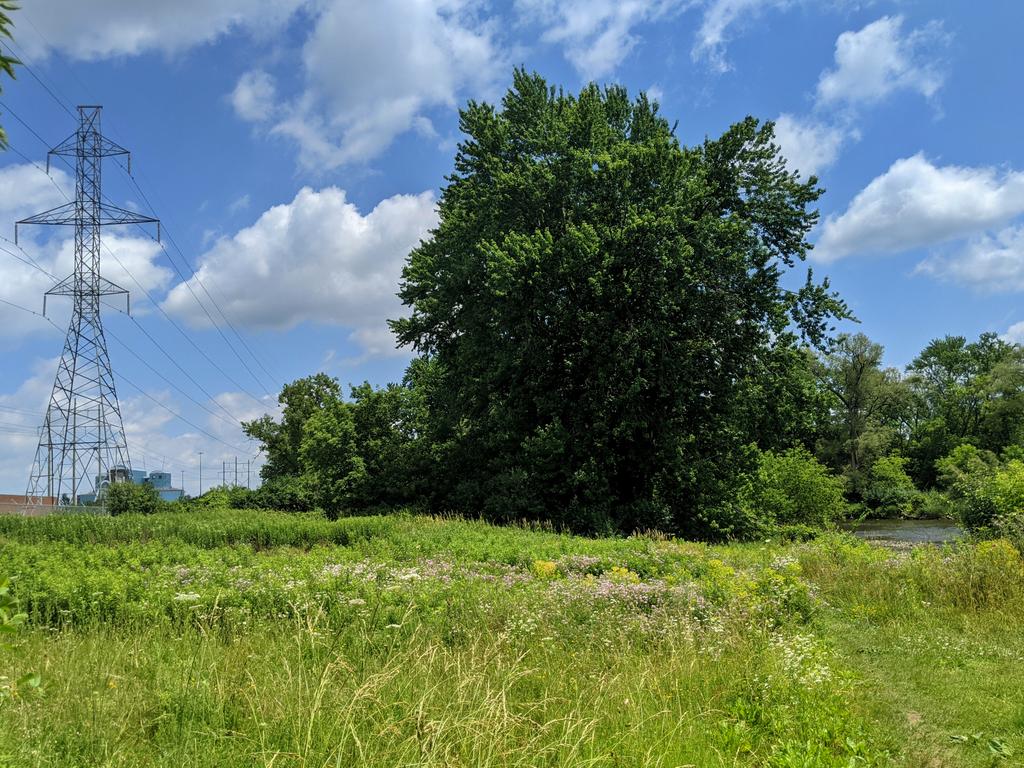
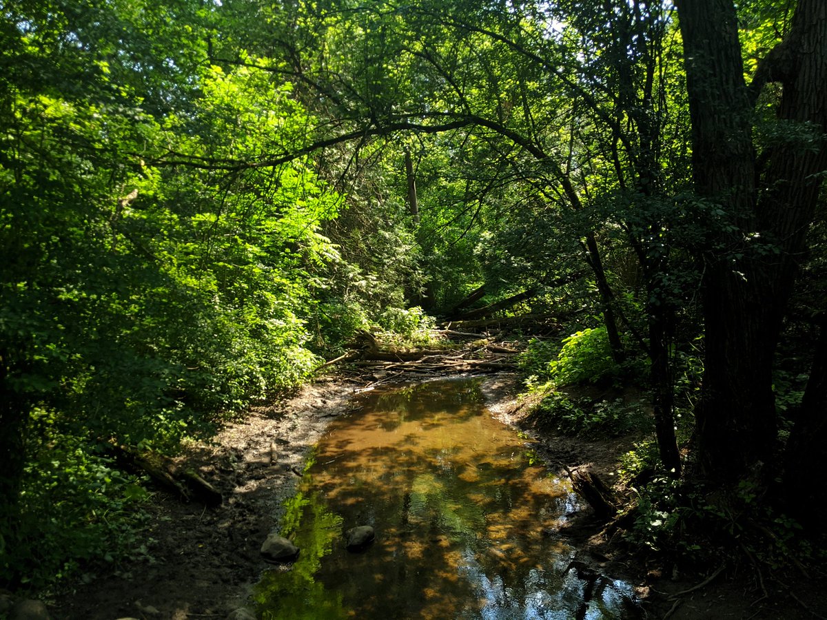
A bit of backtracking to start, I must get to Niska Road to cross onto the west shore. No complaints, a beautiful forest, good views, and even a small tributary draining stormwater from Stone Road. A detour is required to get past the wetlands around the Hanlon Creek confluence.


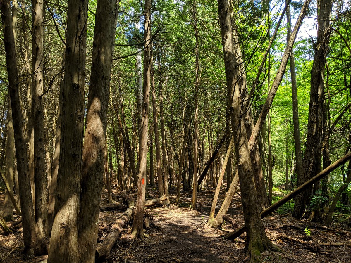
Through more forest, past the creek, across the river, and back on track northwards.


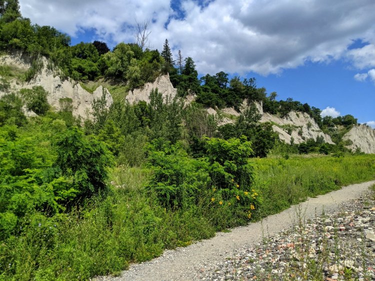
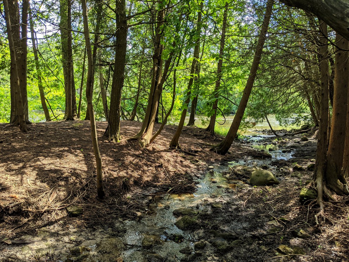
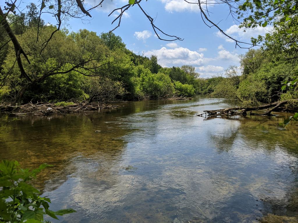
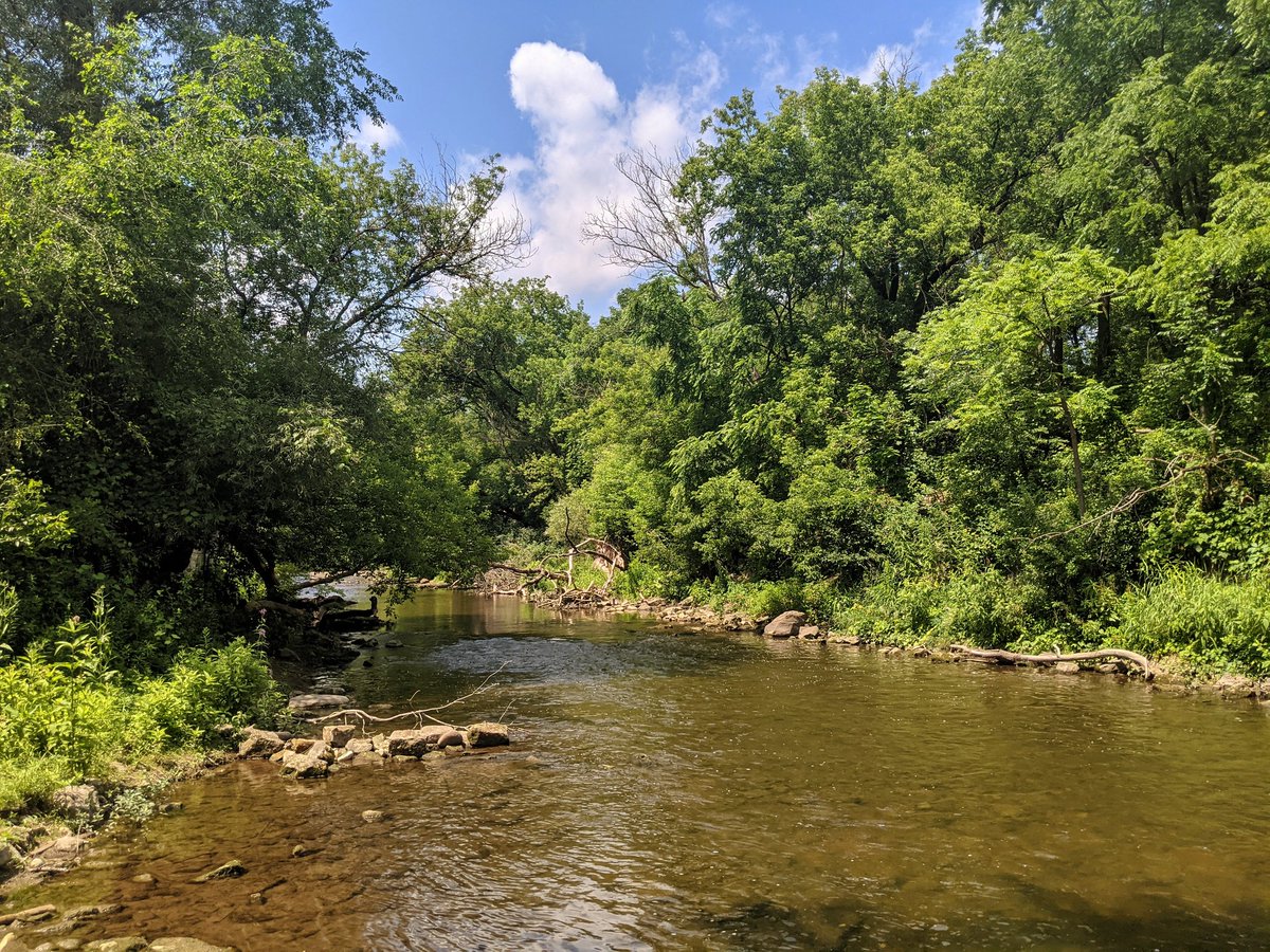
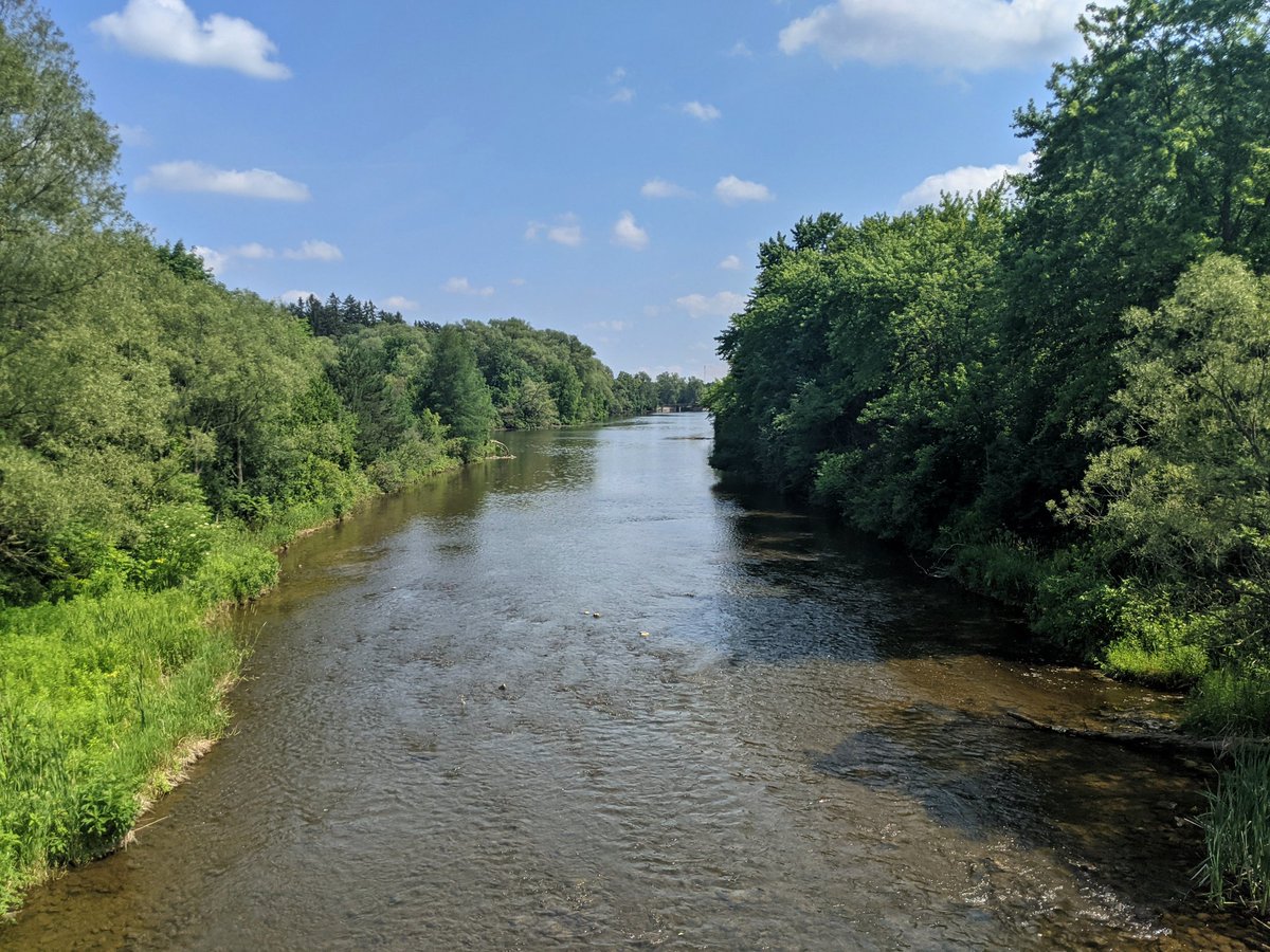
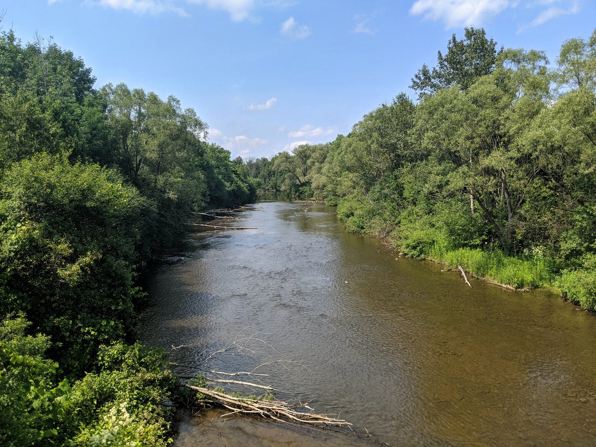
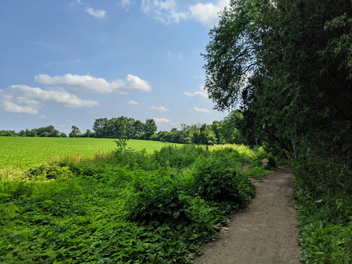
Plenty of coniferous, wide water on rocky bed and banks, flanked by small tributaries with wetlands. Northern Ontario vibes. It’s why I nickname this part of the province “Boreal South.”


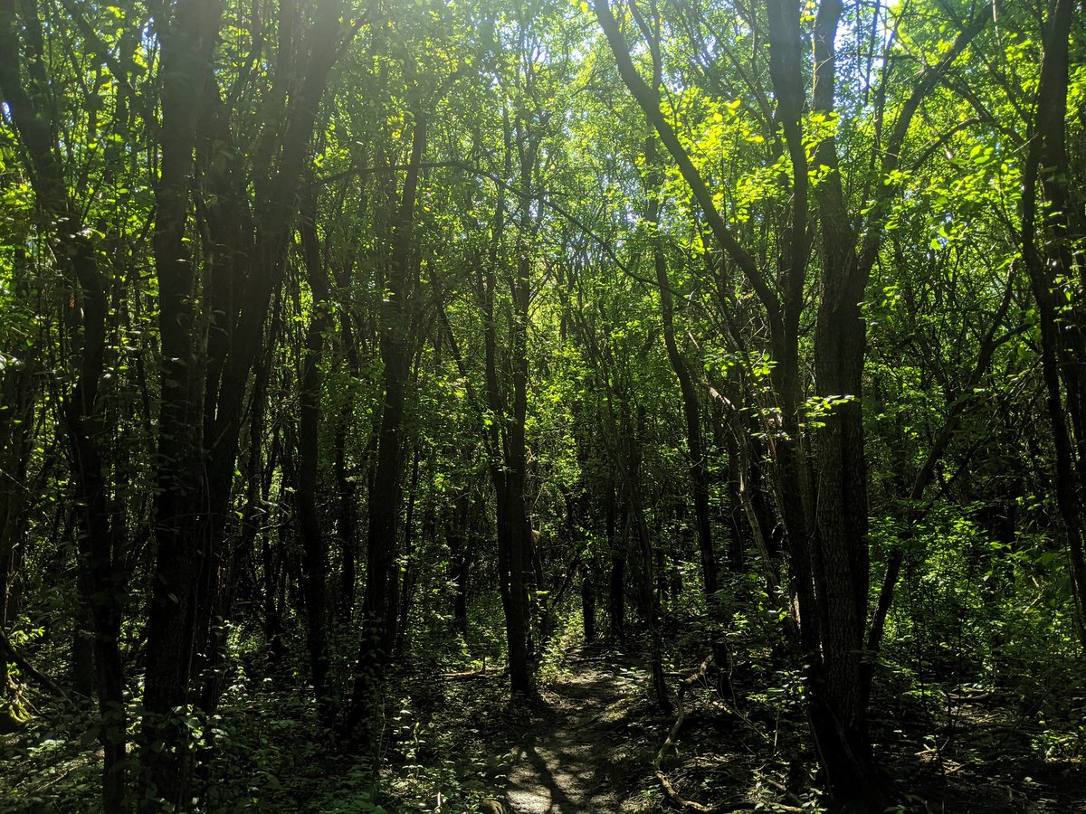
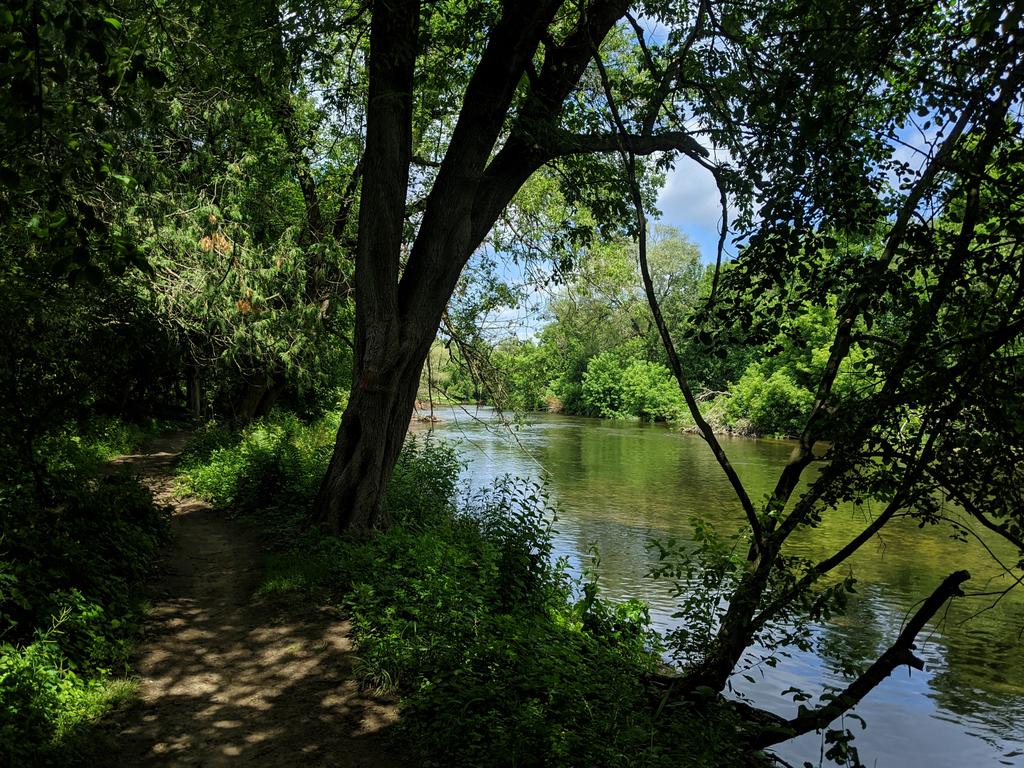
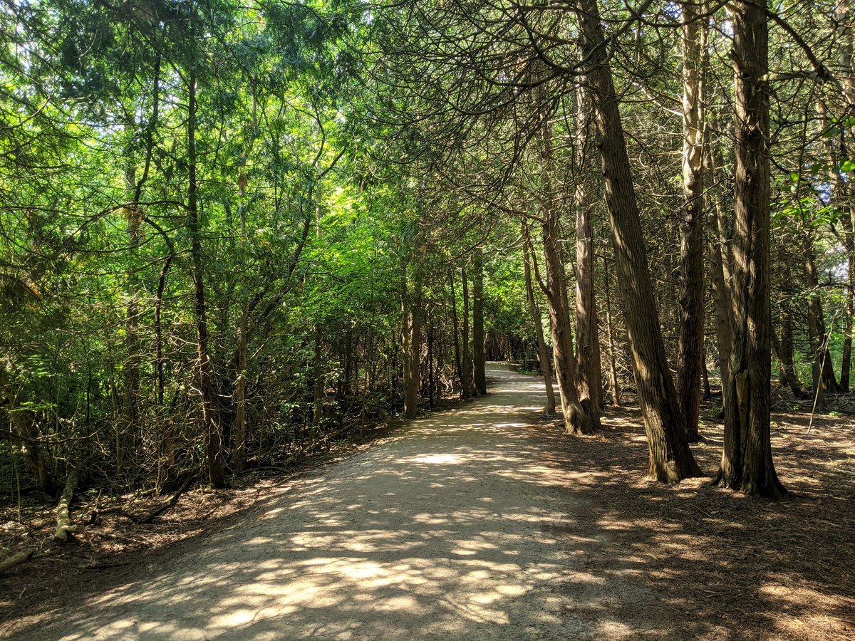
This trail is 10/10. Nice, cool and shady, defined with pretty good clear zone, and excellent views of the river. Hats off to the Guelph Hiking Trail Club, who maintains this trail and gets it established with private landowner consent.


We meet Guelph’s wastewater treatment plant, and the Hanlon Expressway. I expected a huge detour around all of this infrastructure, but alas, there is a direct connection behind the former and under the latter. Fantastic, this walk is going better than I expected.


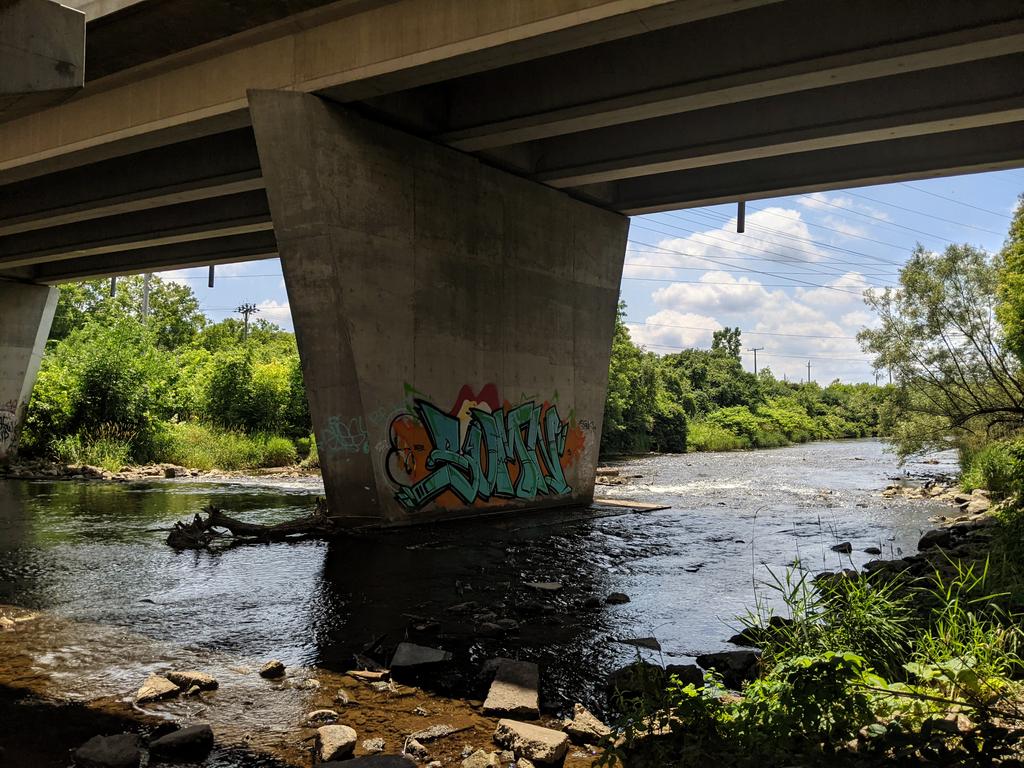
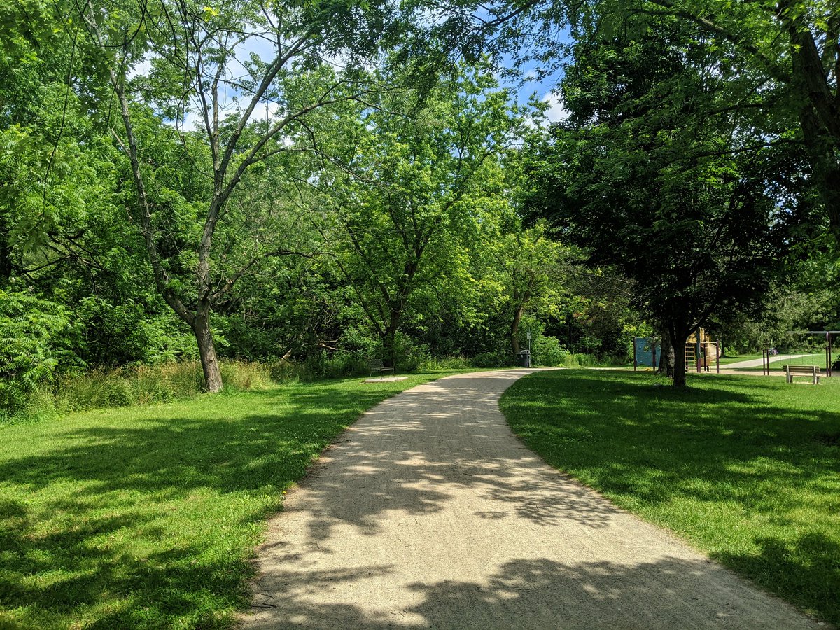
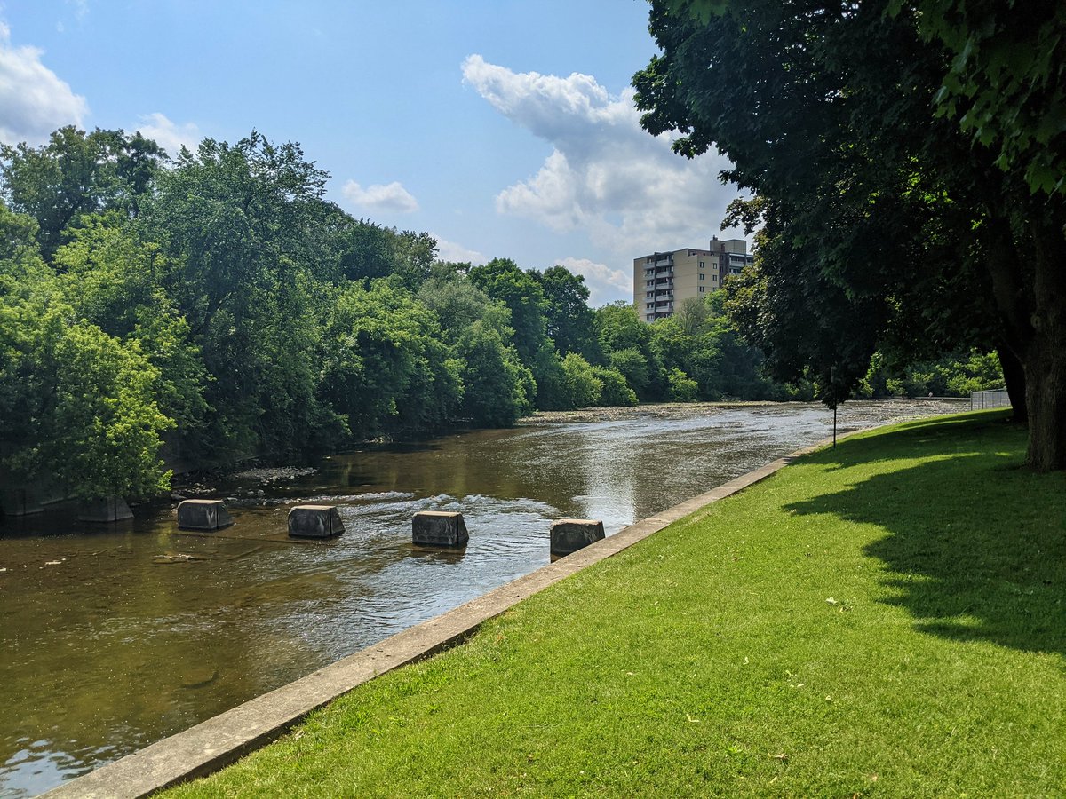
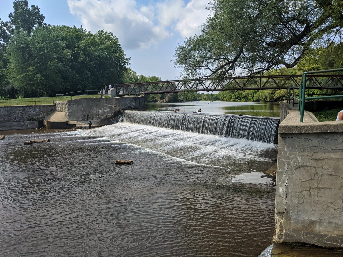
Now into the built-up urban area. River is quite wide in this reach. Some human intervention, with weirs and a dam. Nice stonedust trail in parallel.
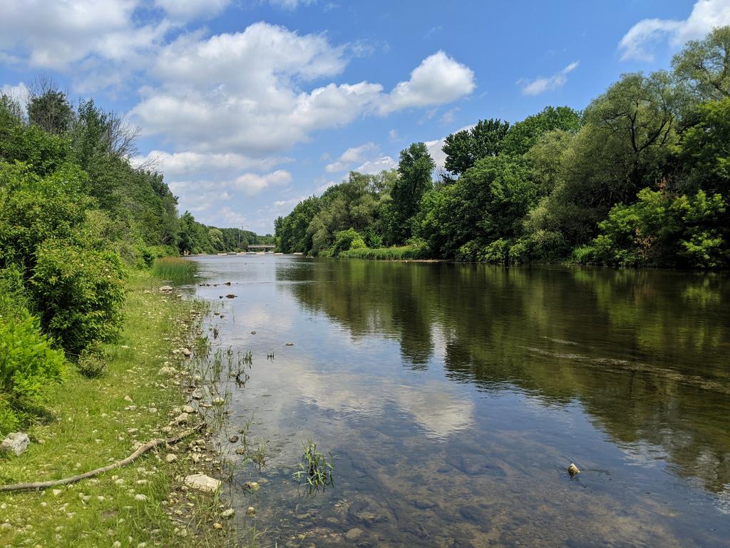


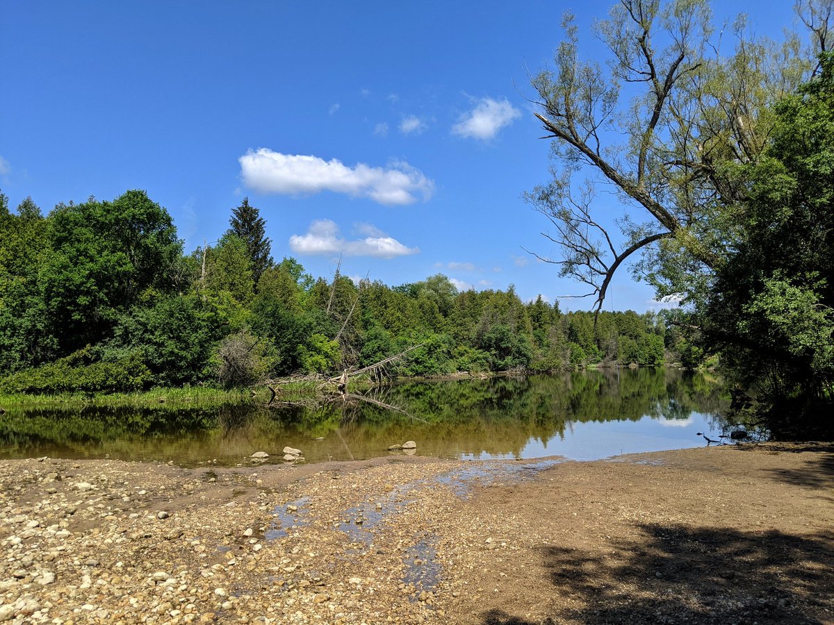
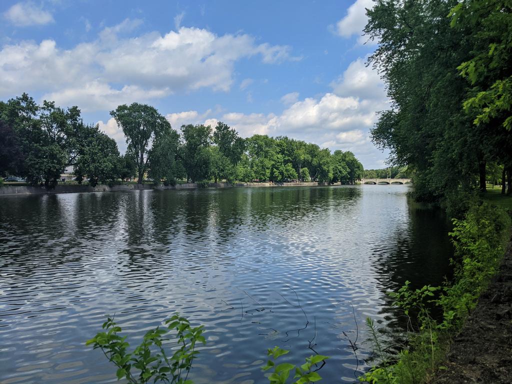
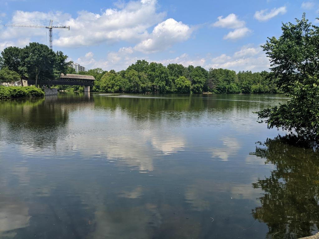
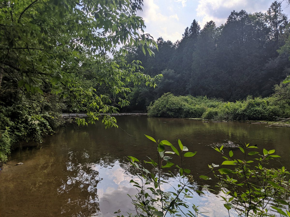
River gets wide and still, as it forms a headpond towards its confluence with the Eramosa River. Over the covered bridge past the fork. Lots of paddlers.


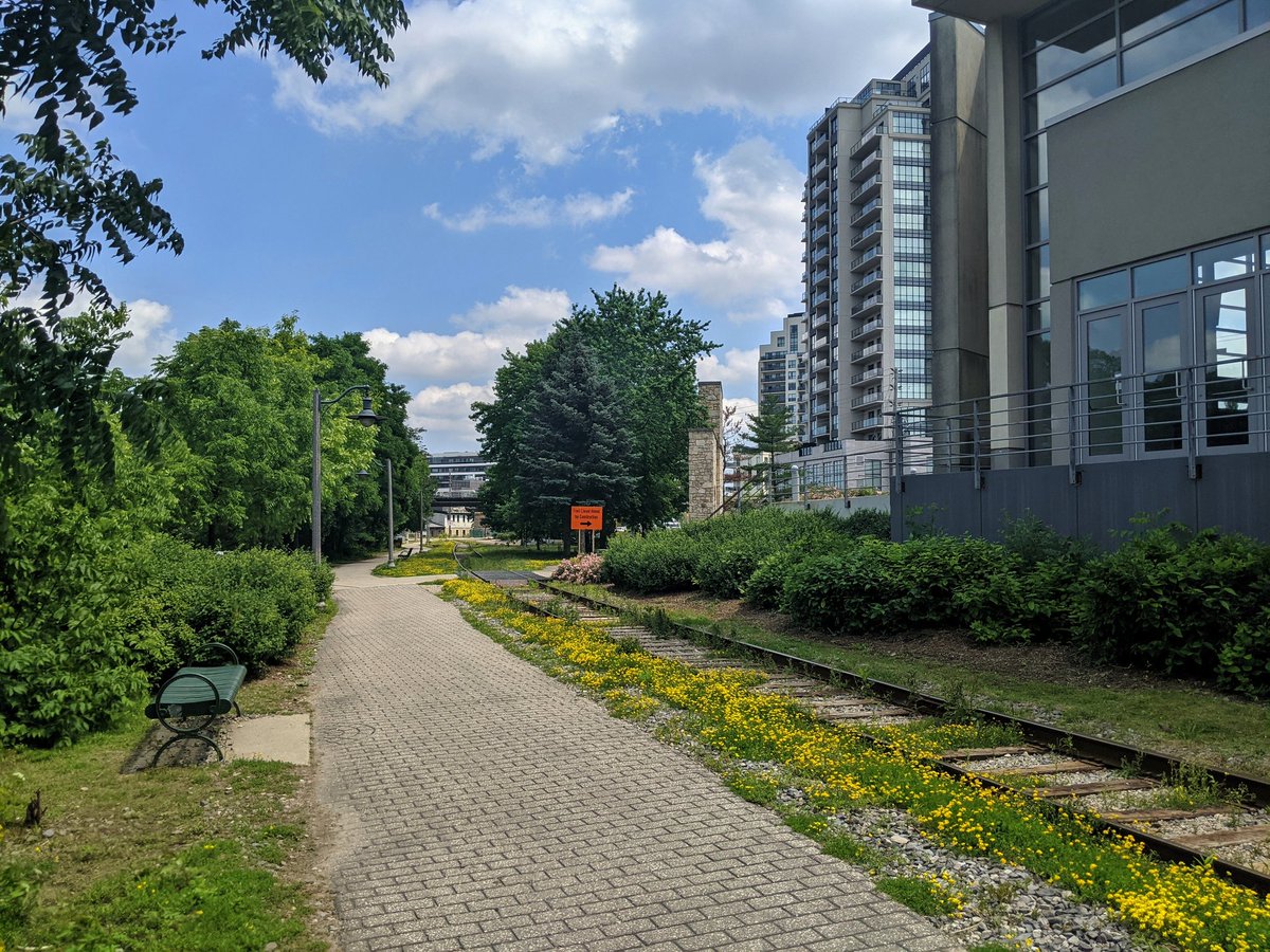
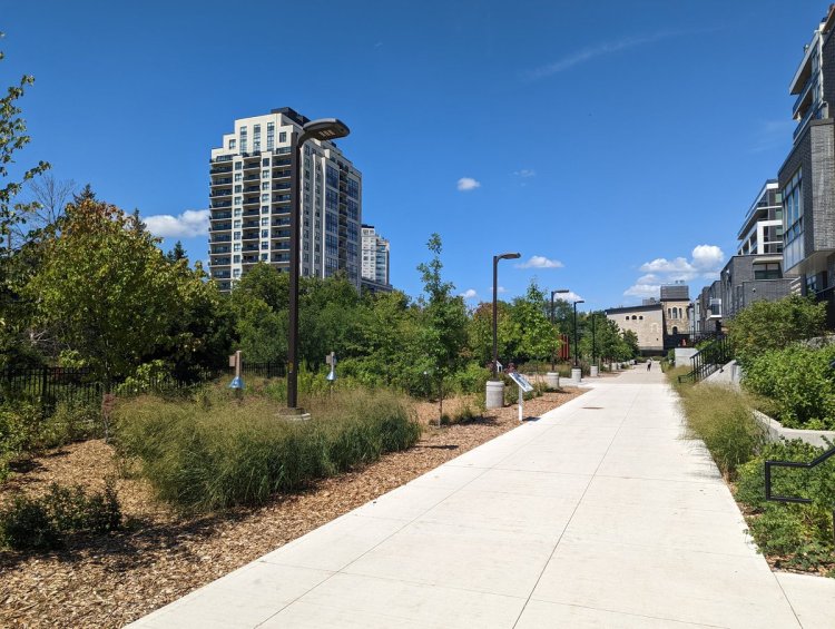
Into the downtown core. Lots of bridge crossings. New mid- and high-rise that never would have happened a decade ago. Brick trail and railway paralleling the river.


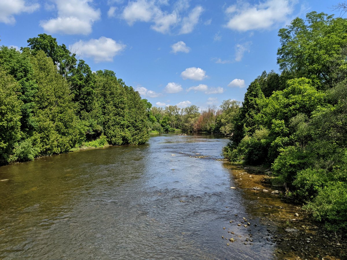
Excellent high view from upon a pedestrian bridge. Leaving the core, the river goes au naturel again, and the trail turns back to stonedust.


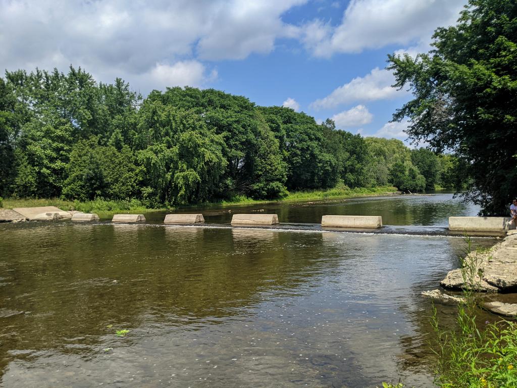
Pushed from the river and wedged beside the tracks. Get back to the bank north of Speedvale, at Riverside Park. Concrete walls and a dam again.


Past the dam and beside its headpond. Stonedust trail weaves through the north end of the park to Woodlawn.


Final stretch to the lake, and back into the thick forest. Alternating between stonedust and dirt pathways.
Across Victoria, and through more thick forest. Lots of criss-crossing bike trails through this stretch. As familiar as it was a decade ago.


Made it to the dam. In behind is Guelph Lake, a large reservoir for flood control and summer supplemental flow.


Through more forest along the back end of the reservoir, and turning back to 124. That’s the end of today’s walk.


Date: July 4, 2021
Length: 21.0 km
Type: Riverine
Related Walks
Redux journey on opposite travelled banks
Speed River II
Tributary along the lower south reach
Willow Creek


Major tributary to the east
Eramosa / Clythe
Intersecting hydro corridor north and south
Guelph Hydro


Intersecting railway in parallel and south
Junction Railway
Intersecting railway east and west
Guelph Sub (Guelph)


Tributary confluence at the downstream
Hanlon Creek