Good morning from southwest Guelph. Today I will be following Hanlon Creek from near its confluence with the Speed. I will be zigzagging a bit, tracing a couple tributaries and stormwater drainage features. Let’s go.


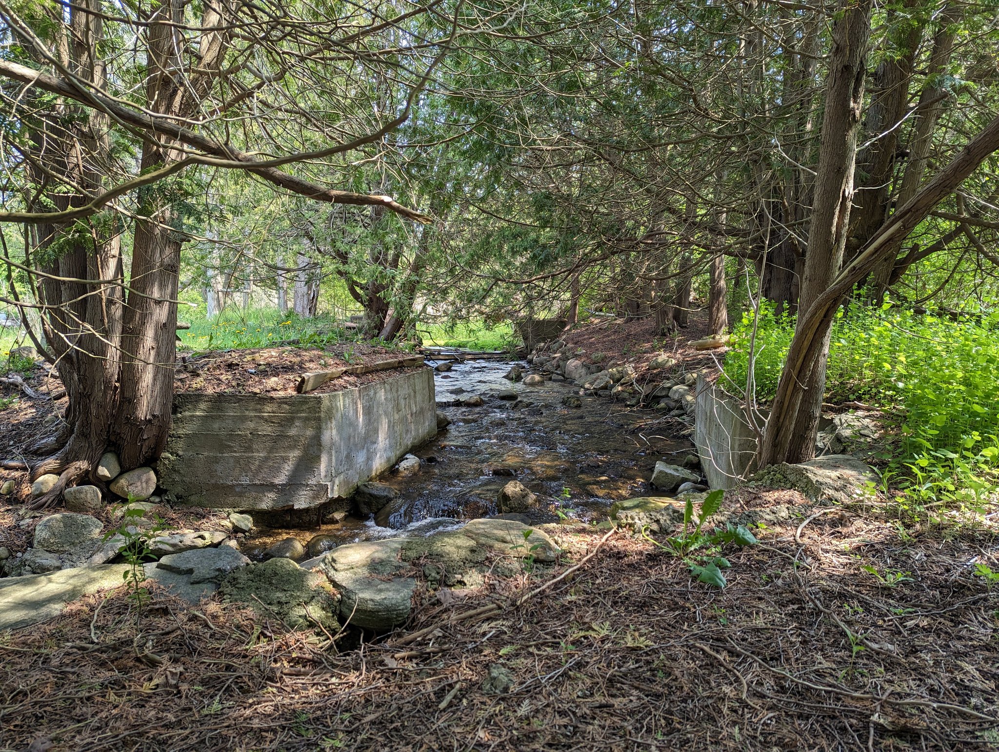
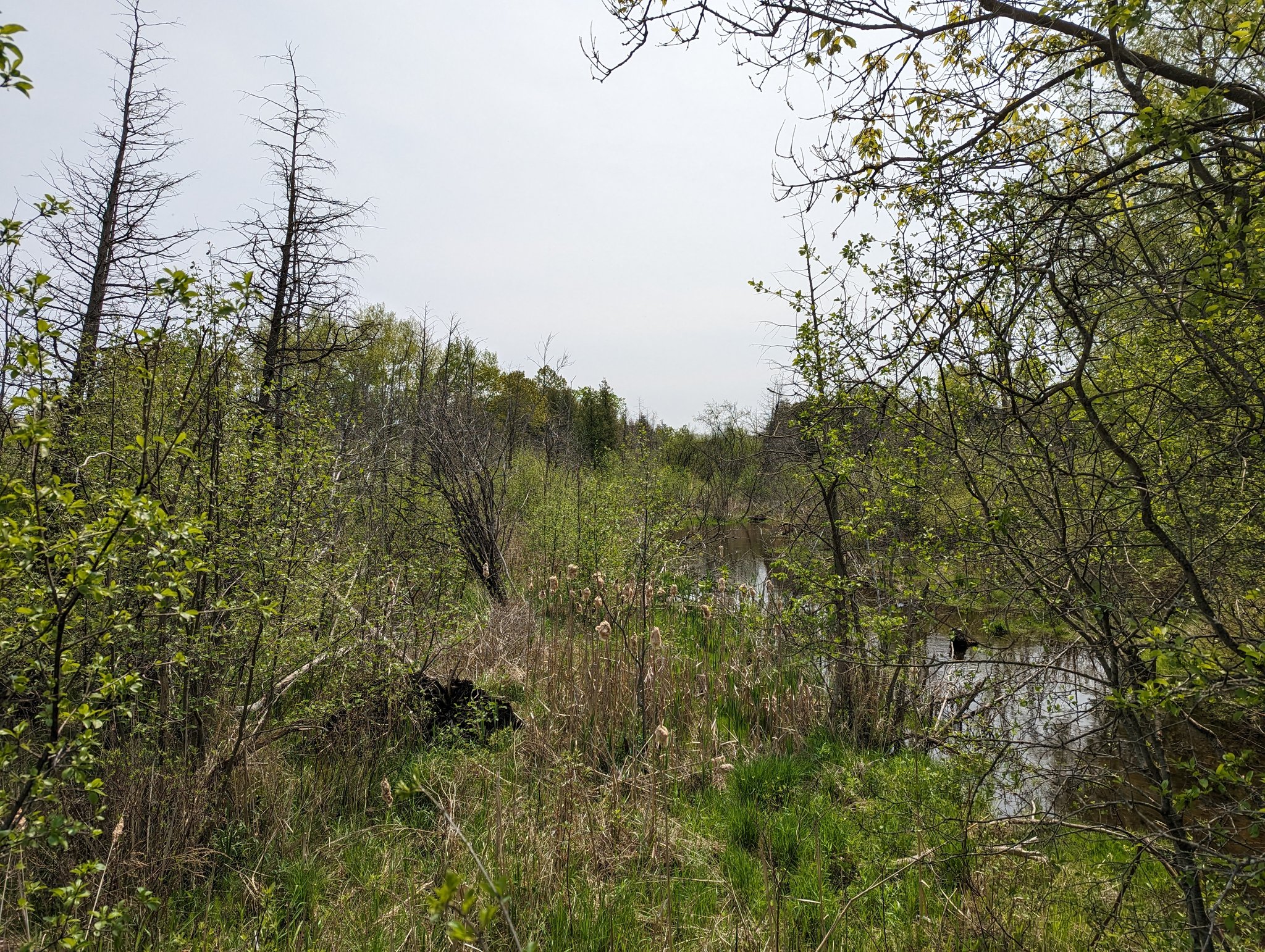
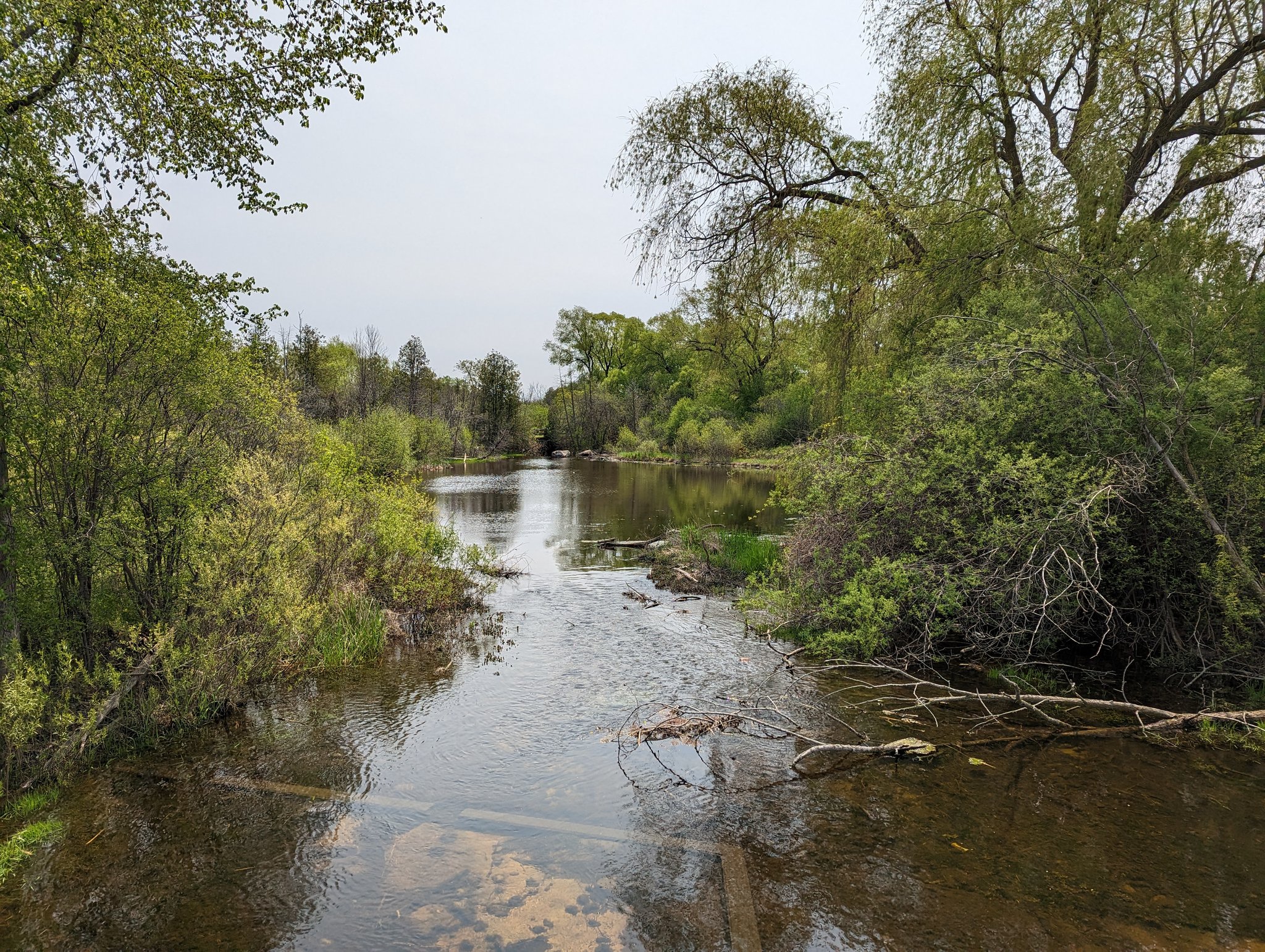
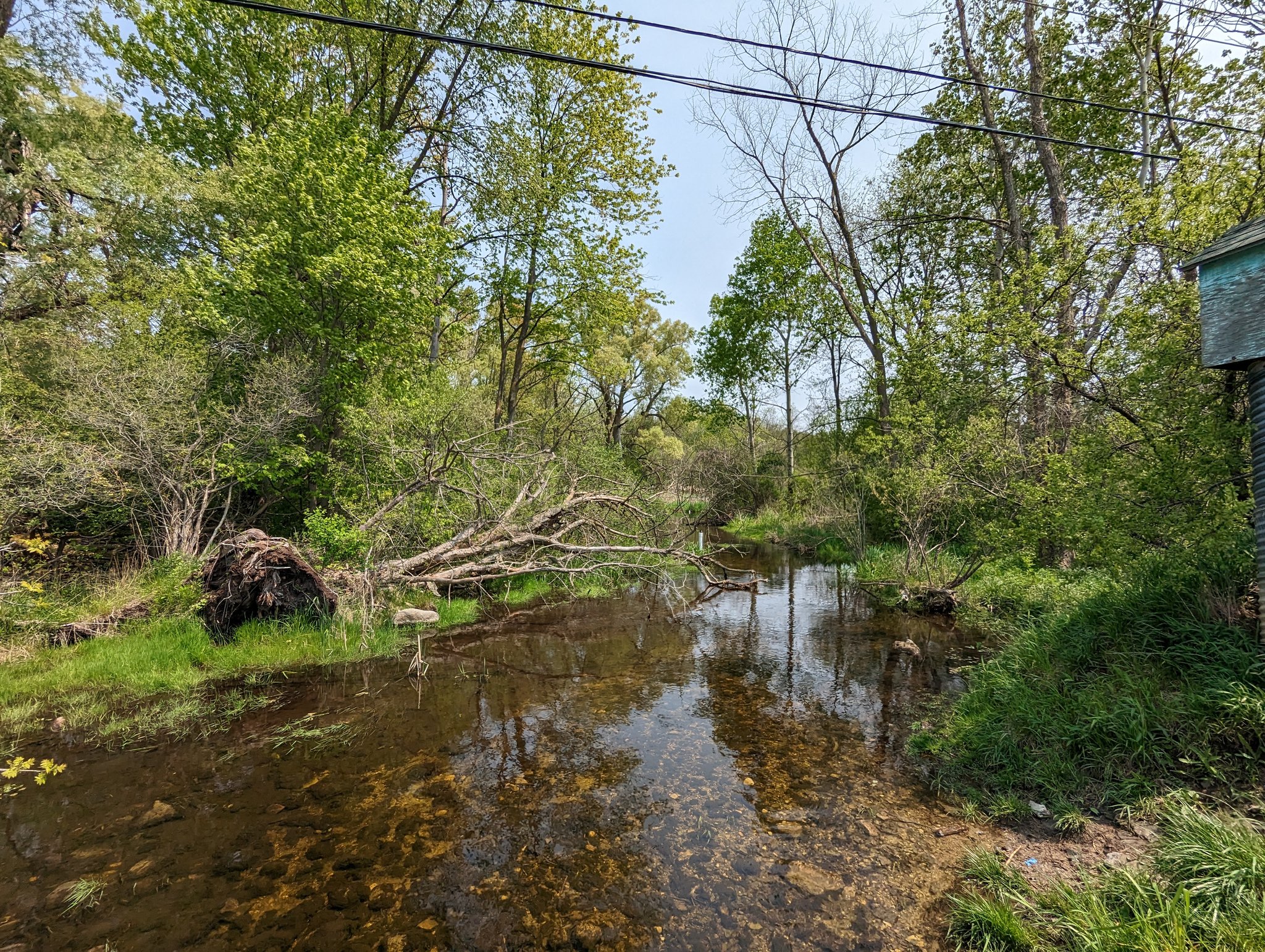
From a trail west of Storm Road’s terminus, a bridge recently completed by the Guelph Hiking Trail Club leads you over a drain and into the forest. A marked foot trail brings you to Hanlon Creek, which braids a bit before going through an old outlet structure into the river.


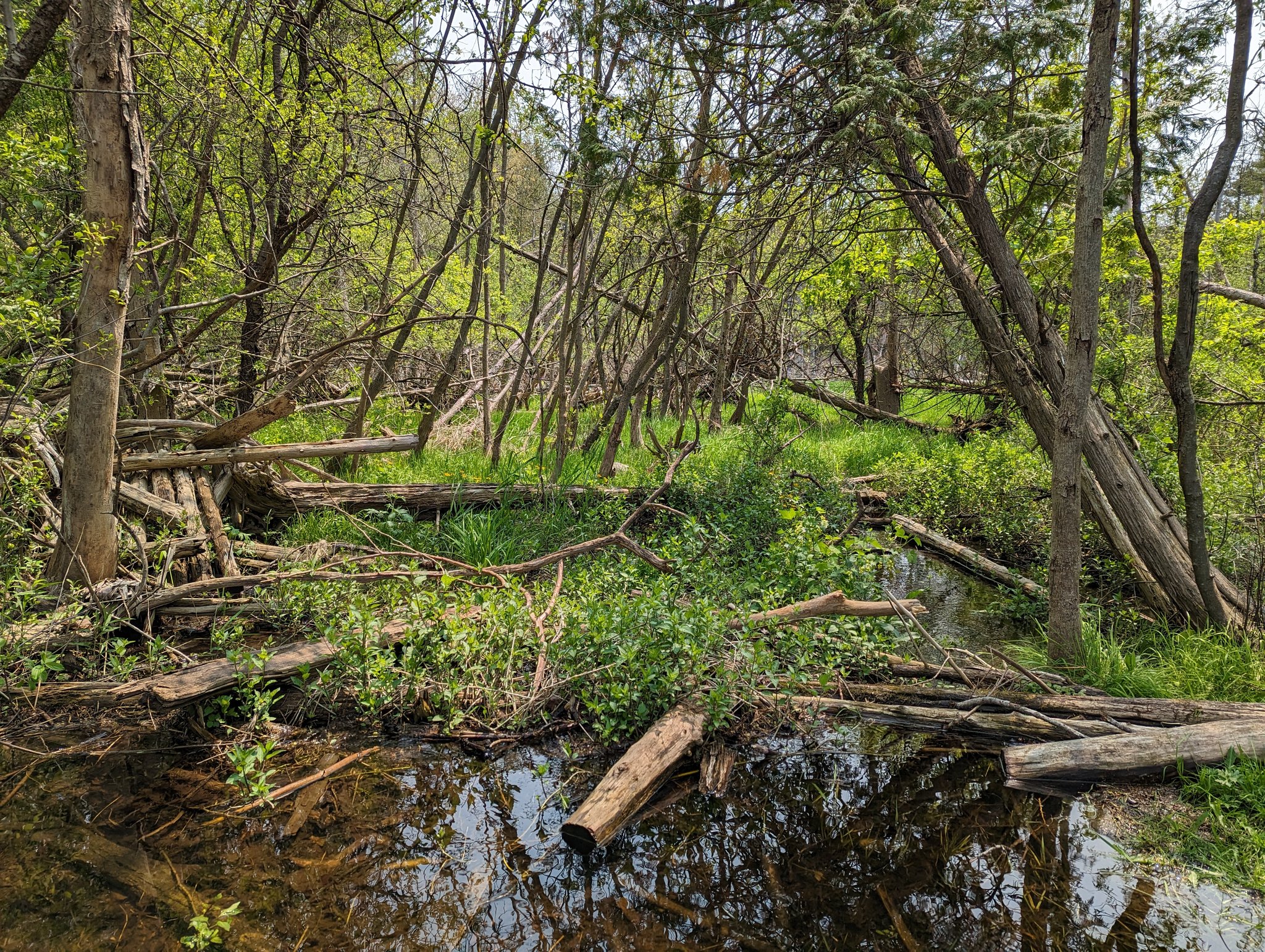
Further south, there’s more braids, and crazy bridges across them. This is the Niska Lands, a former wildlife sanctuary and former planned reservoir. There’s work underway to turn some of this into formal parkland I believe. Old hazardous structures litter the landscape.

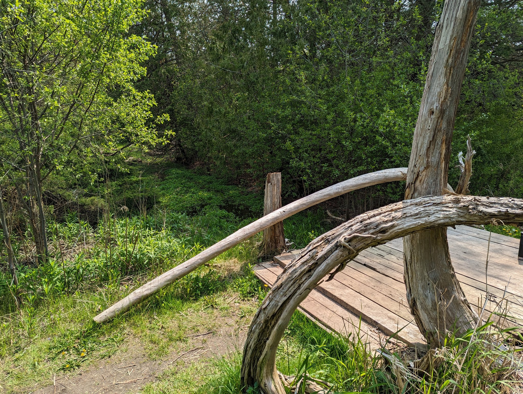

I try to space out my tweets, but it’s hard not to be a shutterbug. This place is a treasure. And I have high hopes for its future.


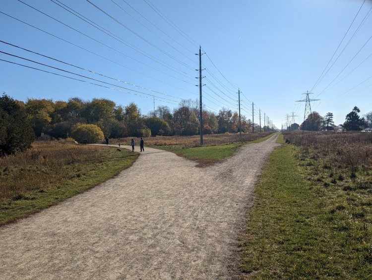
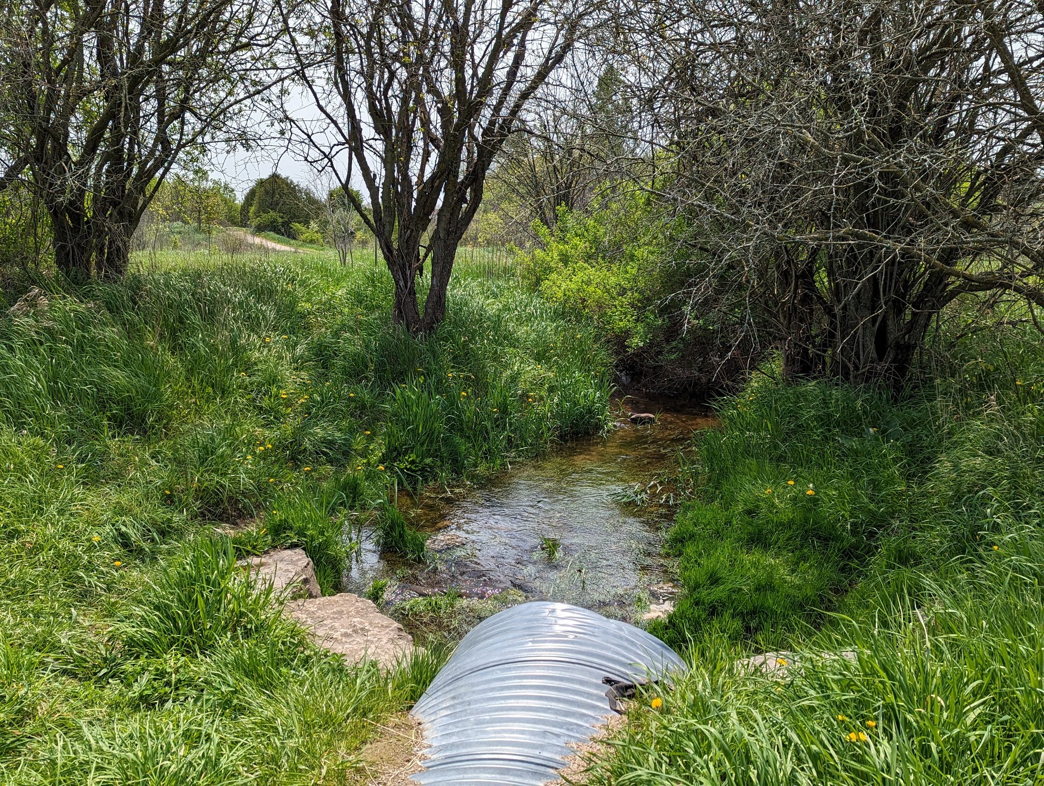
Back to formal trails. Unfortunately there’s no way from here to Niska Road directly parallel to the creek. It requires a detour along side streets. There is a glimpse of the creek at Downey Road, and then another detour.

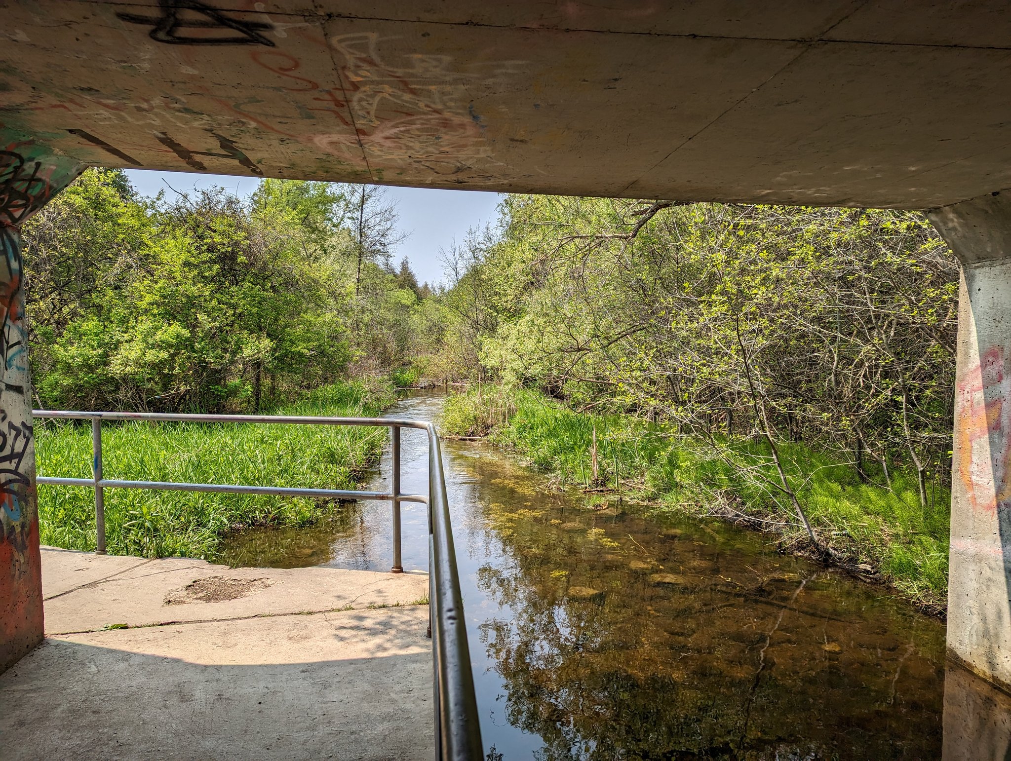
Back on track east of Hazelwood, in an open space that doubles as a stormwater retention area. We meet back up with Hanlon Creek at the Hanlon Expressway. There’s an underpass within the culvert, which gets you to the other side.


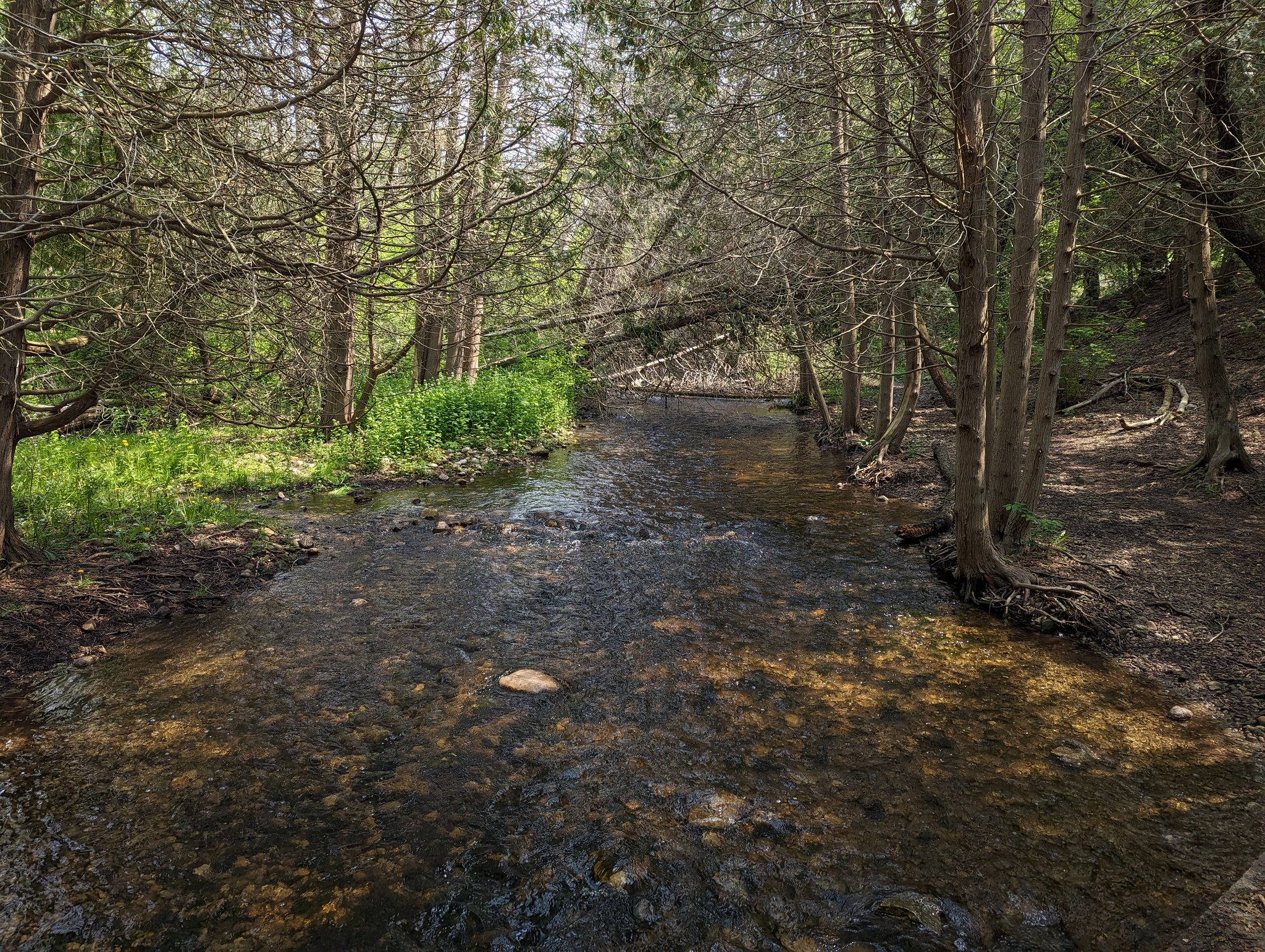
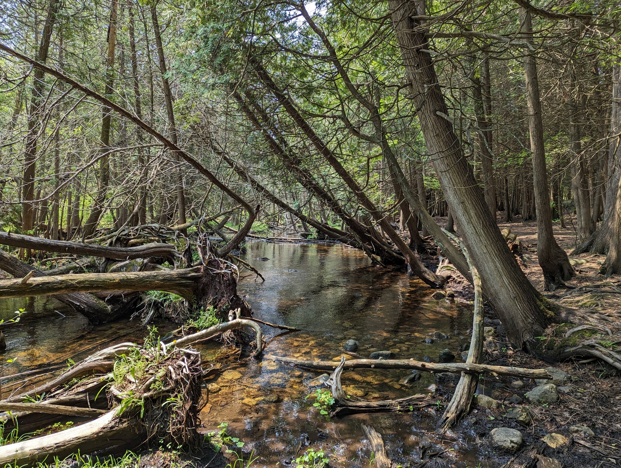
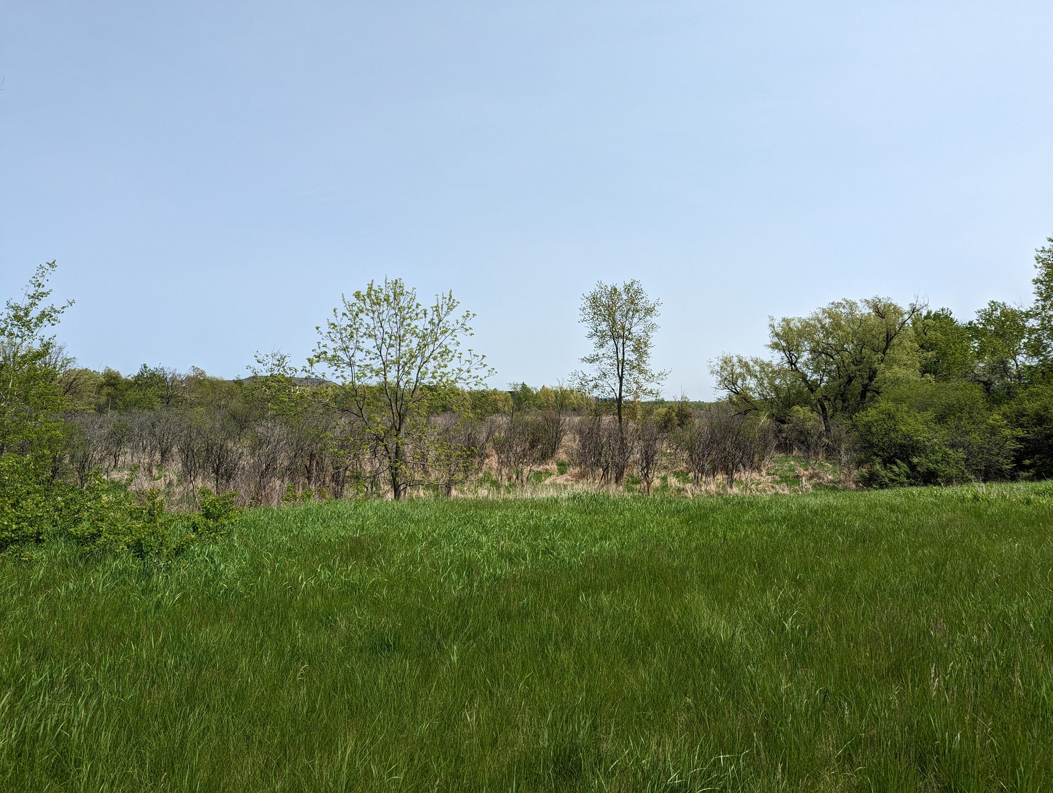
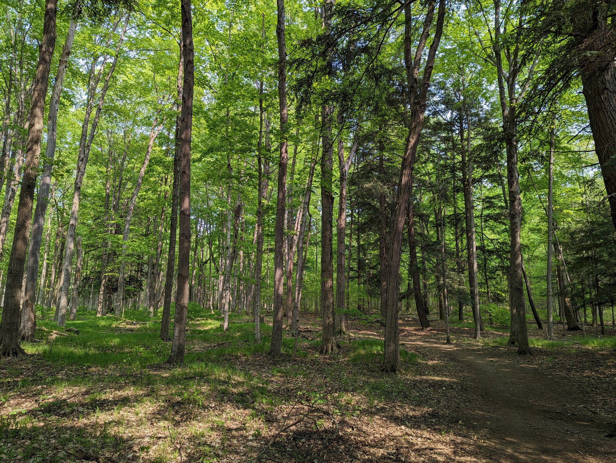
Upstream of the expressway is Preservation Park, a beautiful space where bogs and mature growth forest surround where Hanlon Creek breaks into 3 major tributaries. The first bends northwards towards Kortright Road and offers you some untamed beauty.

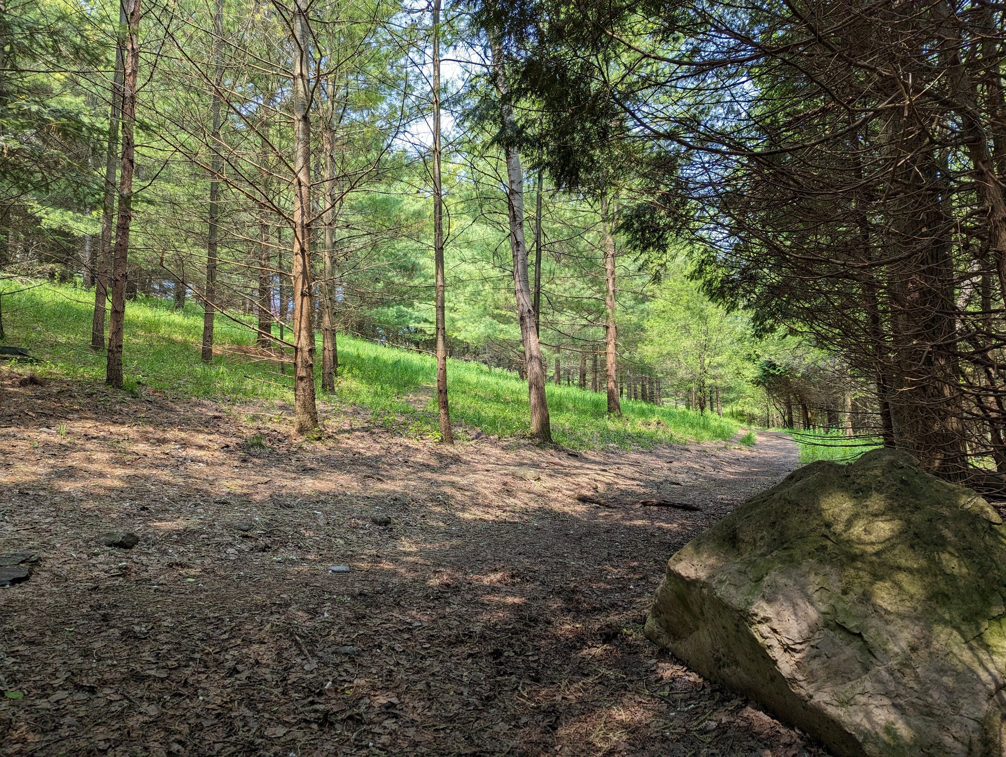
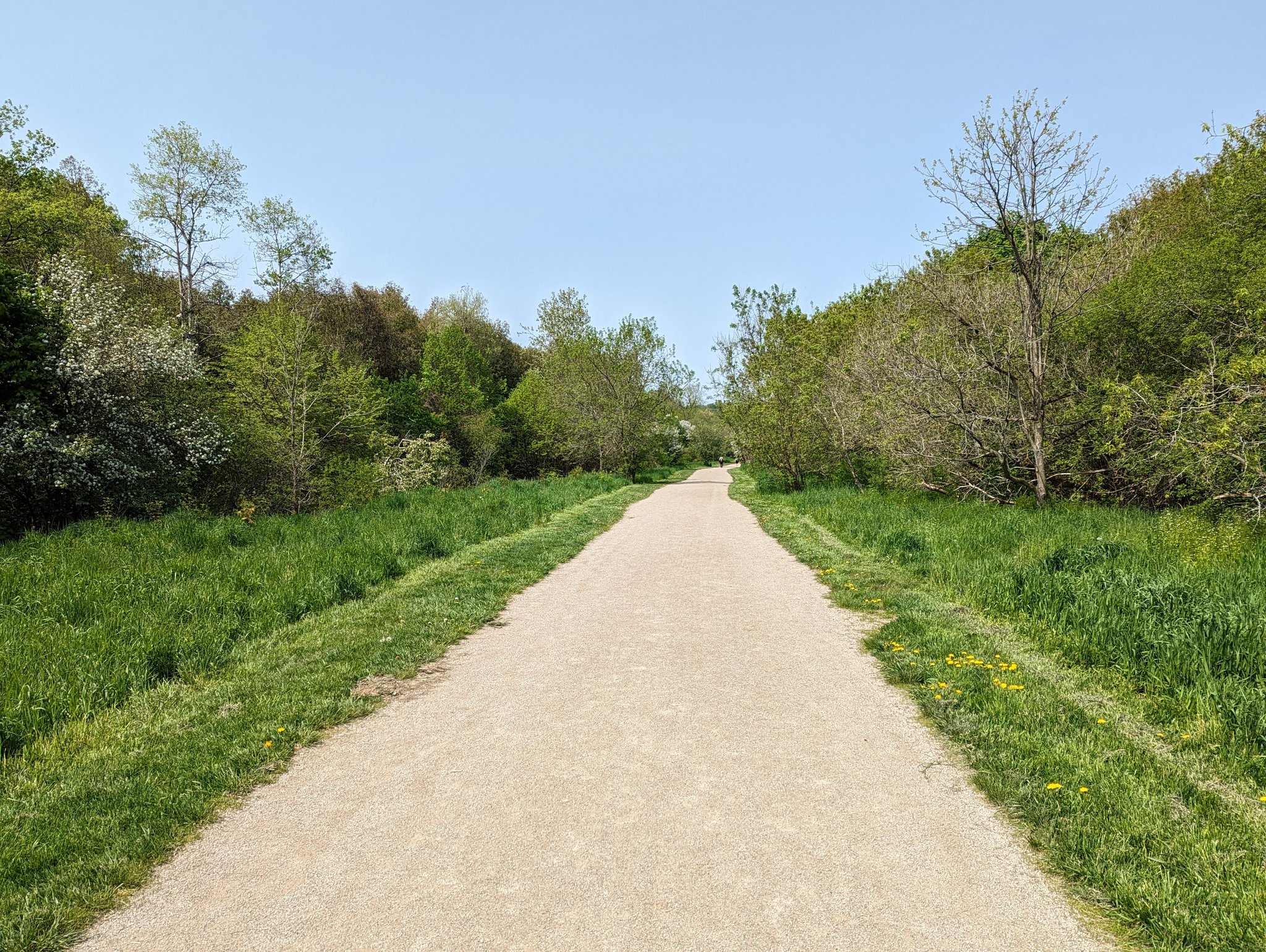
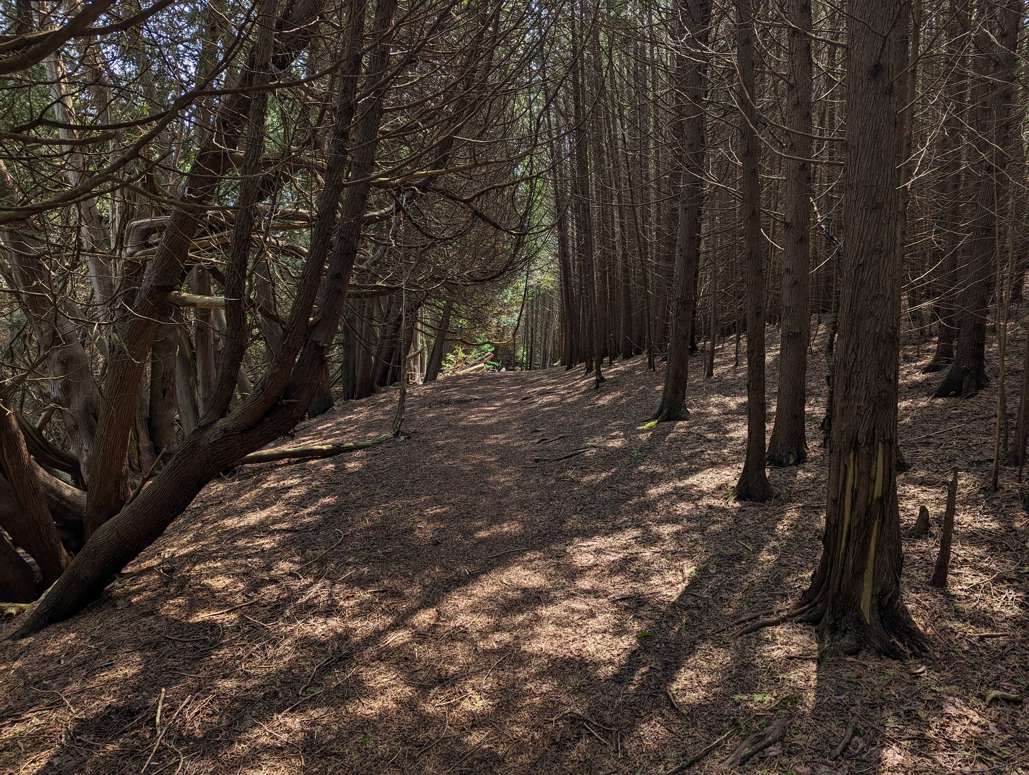
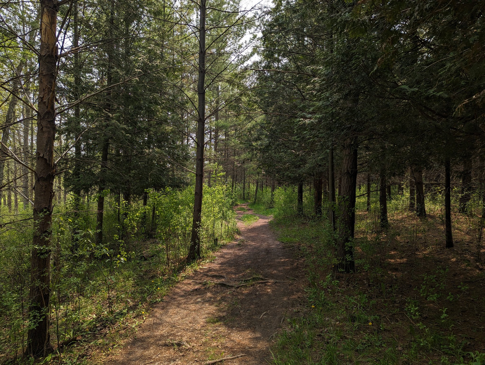
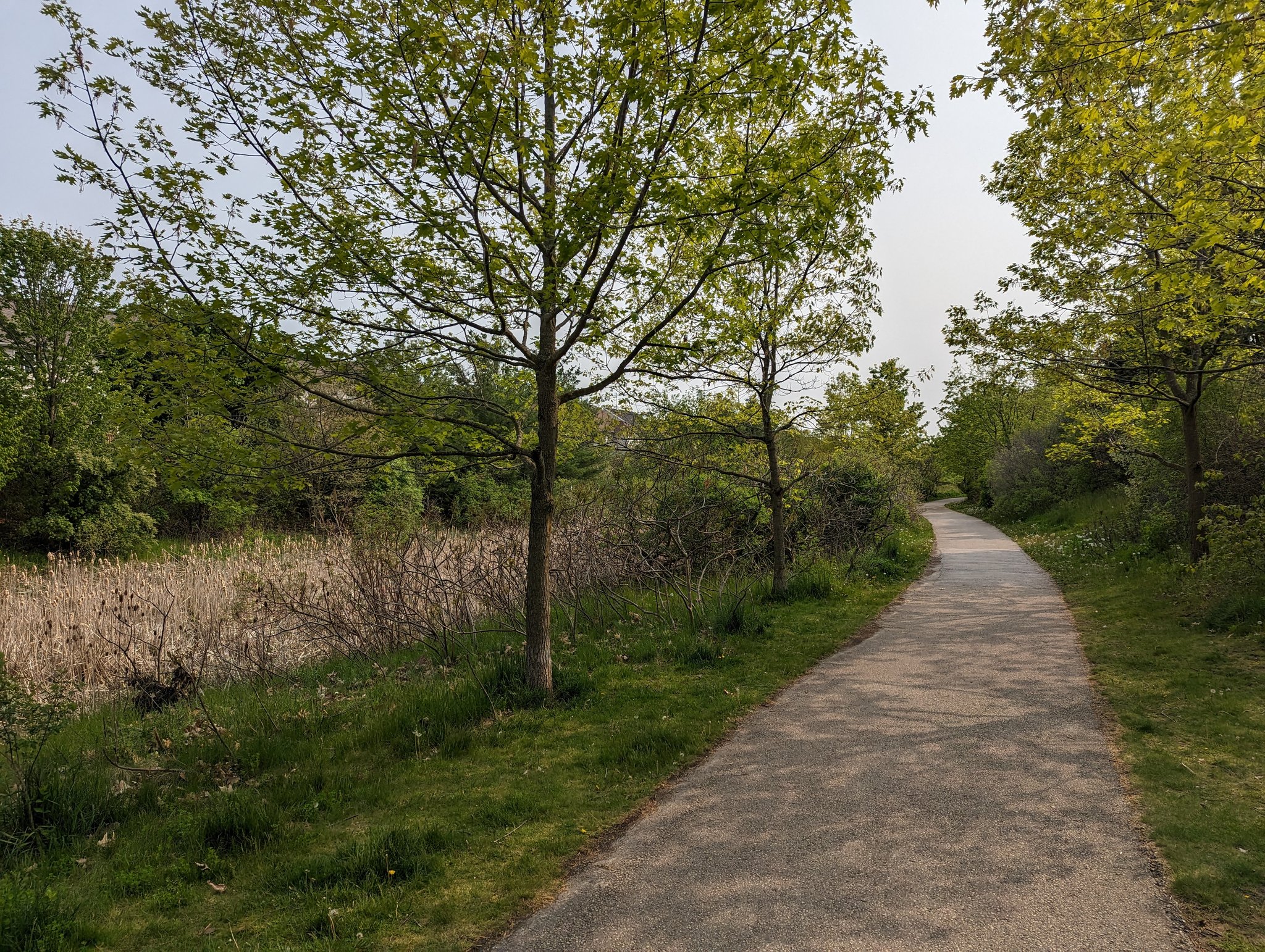
The park continues north of Kortright, where formal stonedust and asphalt trails hold the line between inner suburb housing and spongy wetlands. Some constructed stormwater facilities reside here too, but they do help maintain water quality and quantity.


Near Koch Drive, the ponds are just for retention, and there’s no defined surface channel anymore. The parklands to the north become grassy bowls, marking the end of this catchment. Now for a prolonged trip along the streets to the next trib.


Through a half-finished subdivision and into the headwaters of the next trib. This may actually be the longest surface watercourse and the largest subshed, so perhaps this can be called part of Hanlon Creek’s main branch.


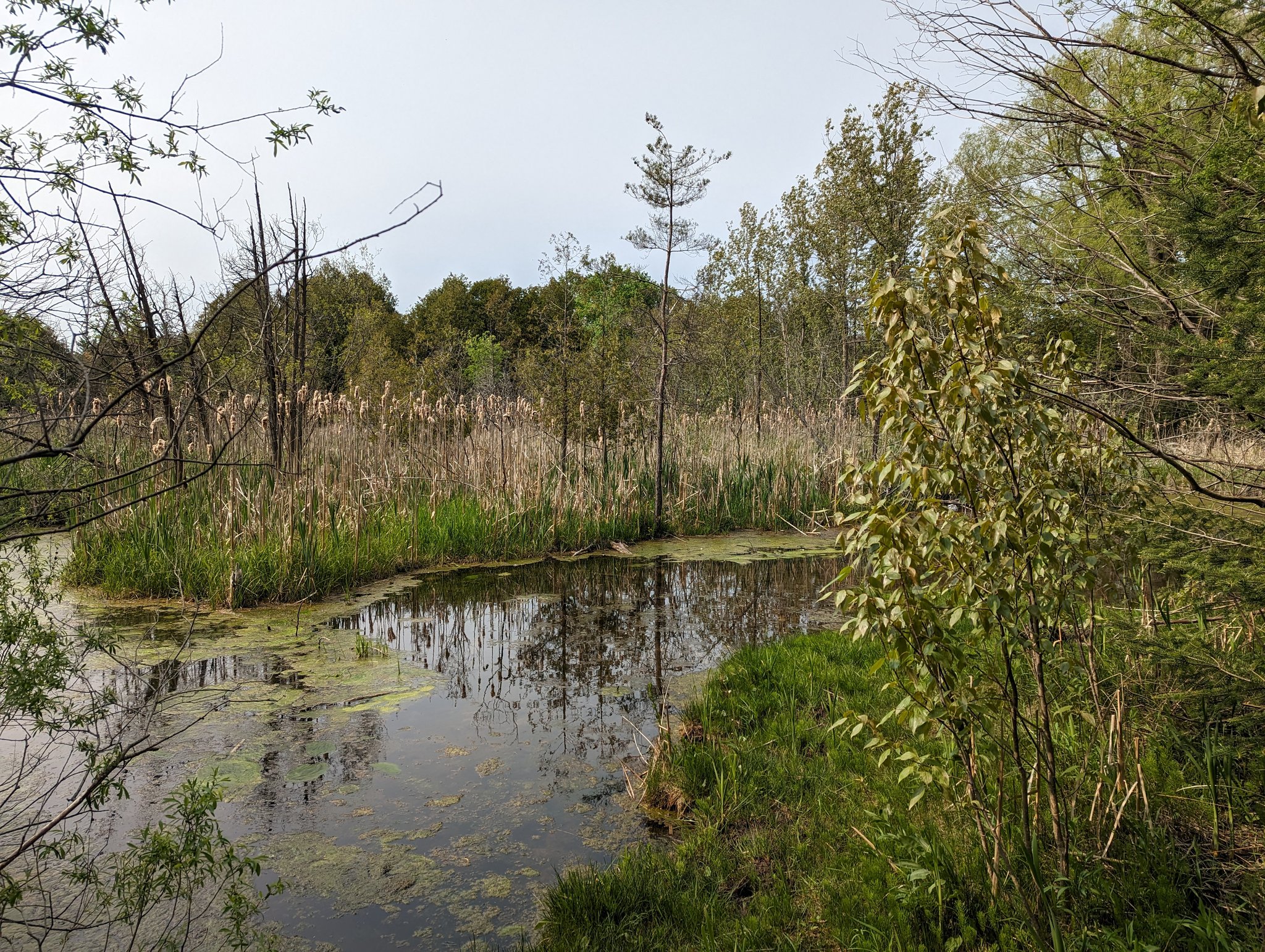
Big loop around, because there’s no suitable path alongside the large wetland. And while there were lots of cattails further up, it’s chock full of phragmites down at Edinburgh. A little further southwest and you get back into the woods and meadow-marsh of Preservation Park.


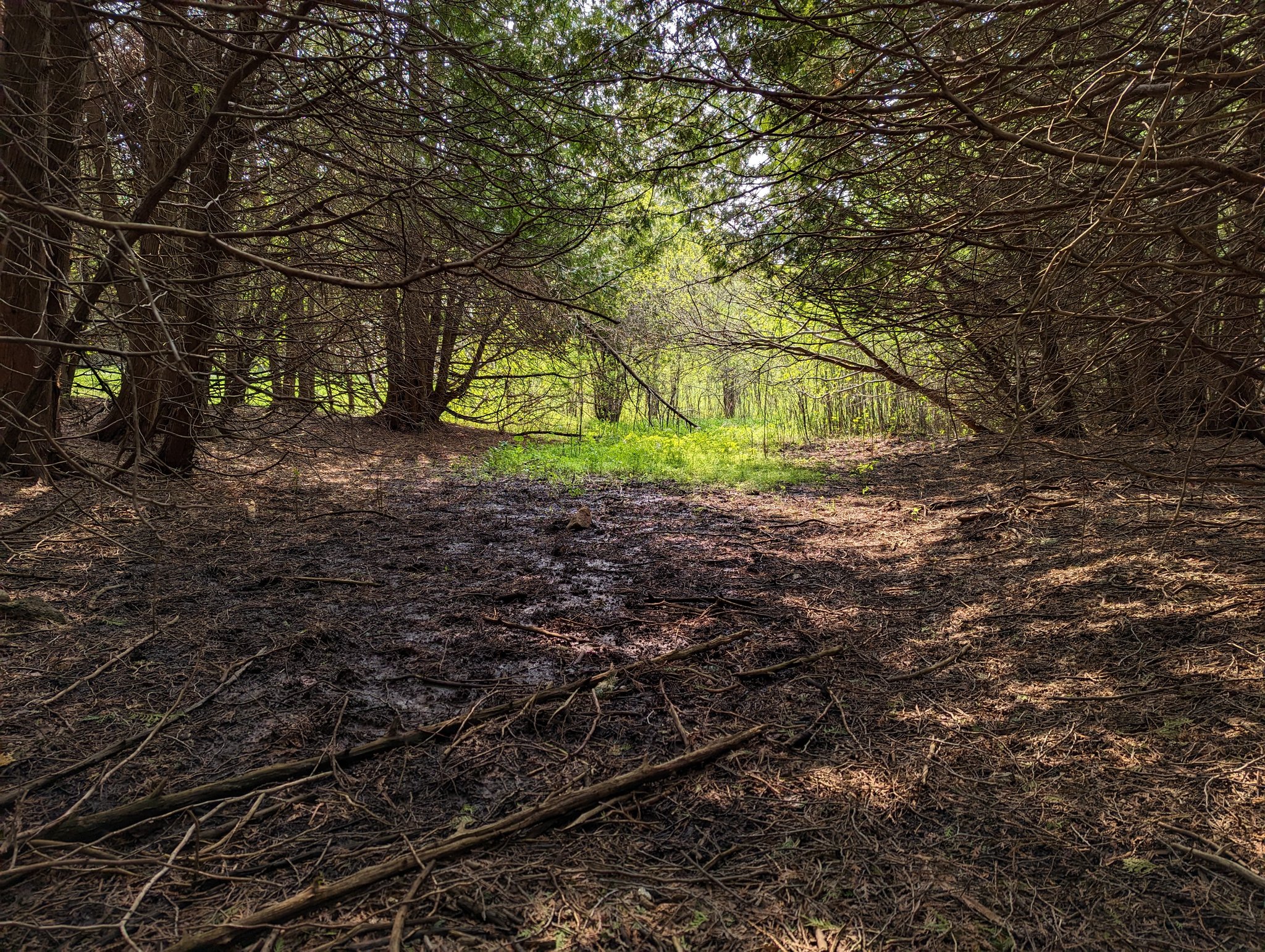
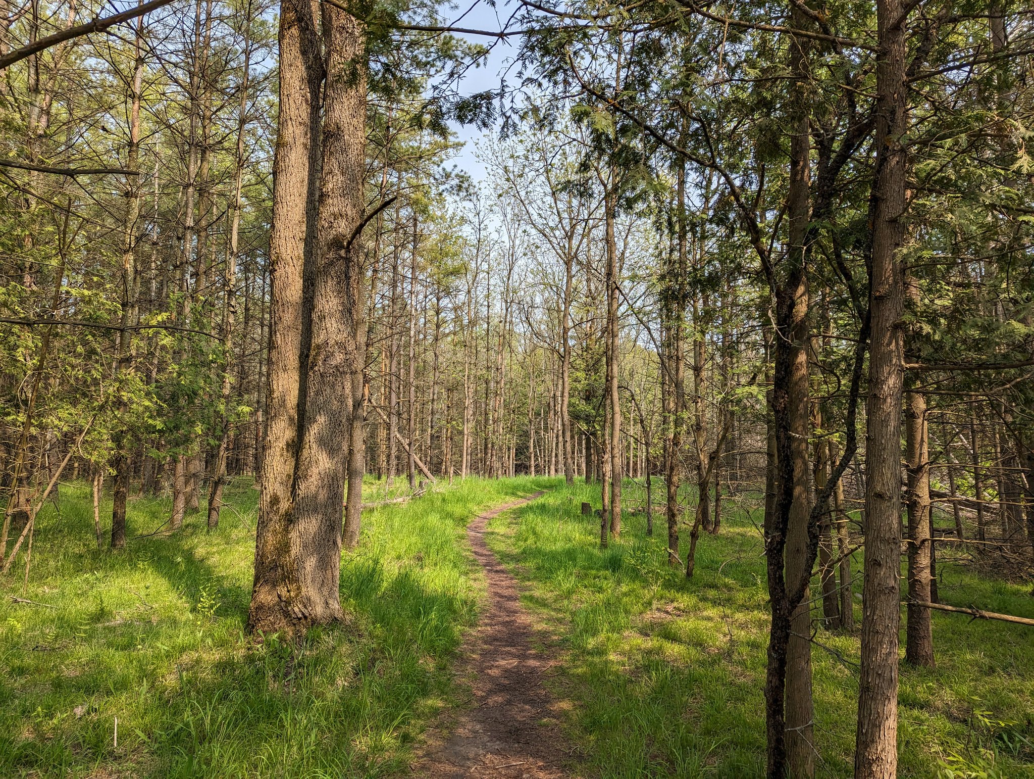
Finally get a glimpse of a surface course, and I realize that there’s a bunch of finger tribs or braiding going on back here. The trails lead you to a meadow, with vegetation that’s actually quite short (but probably full of ticks, so stick to the trail).


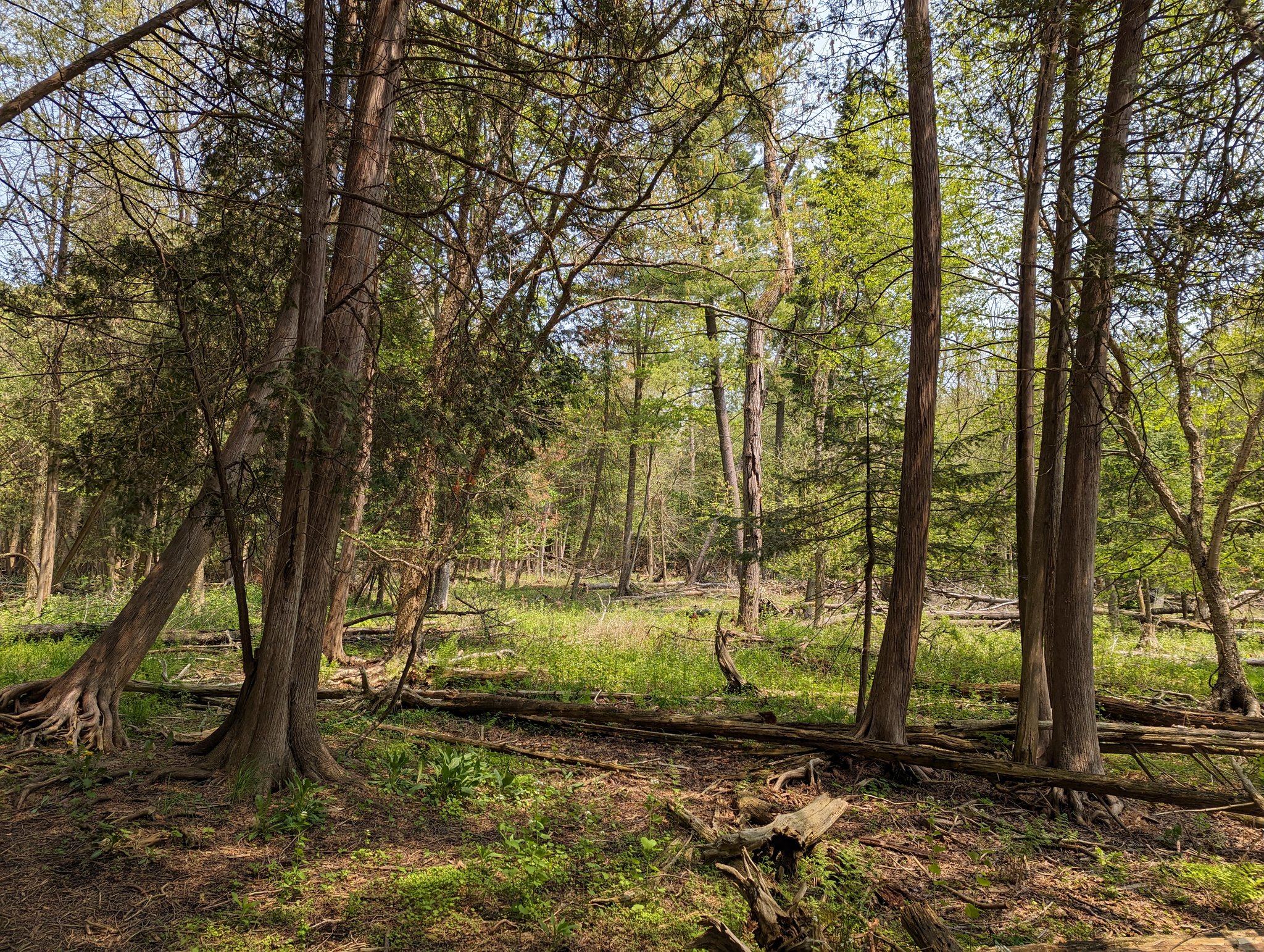
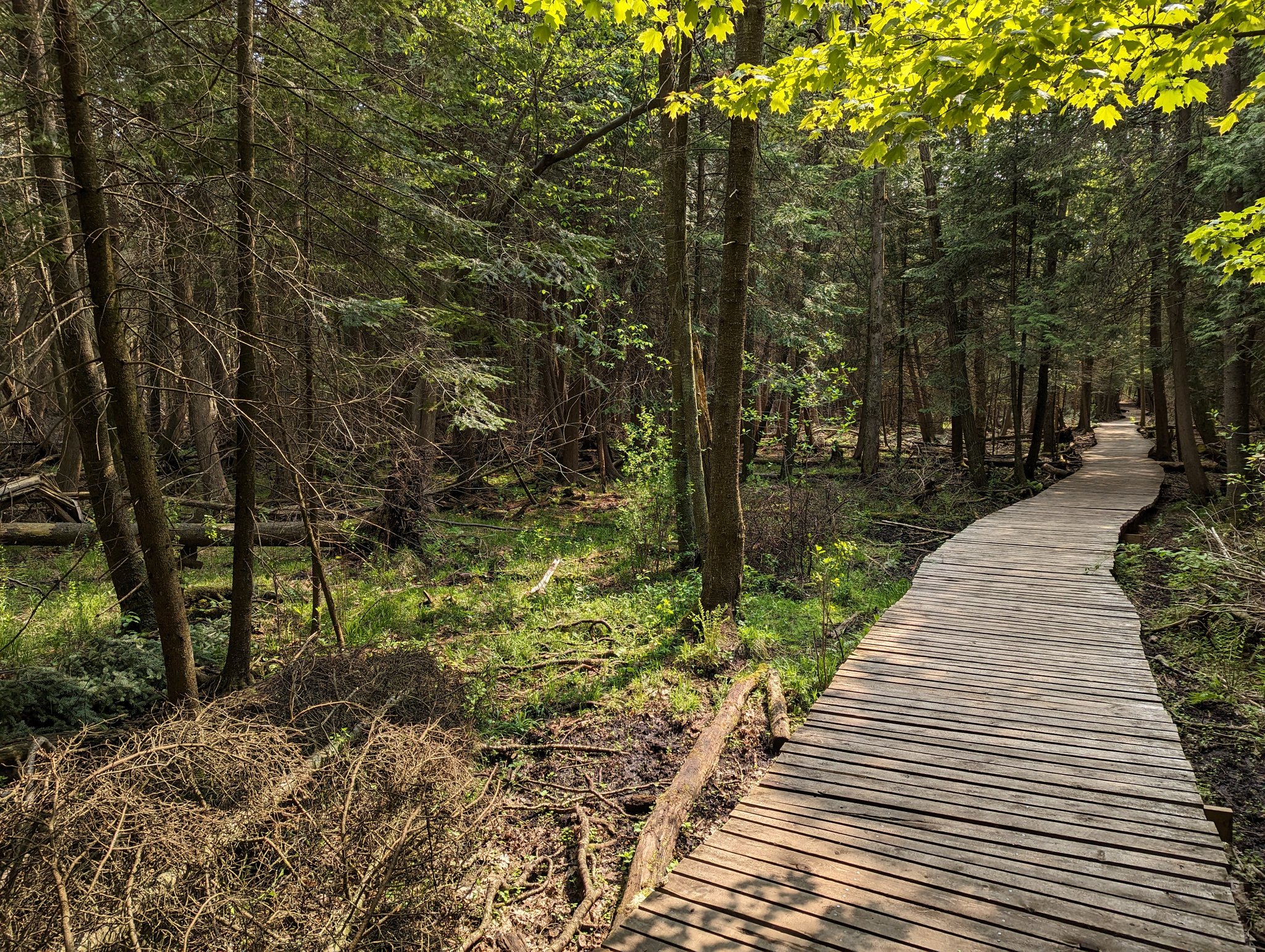
From the meadow back into the tall cedars. Things get damp, and these awesome boardwalks guide you over. I don’t know how old this stand is, but it feels very mature and untamed through here.

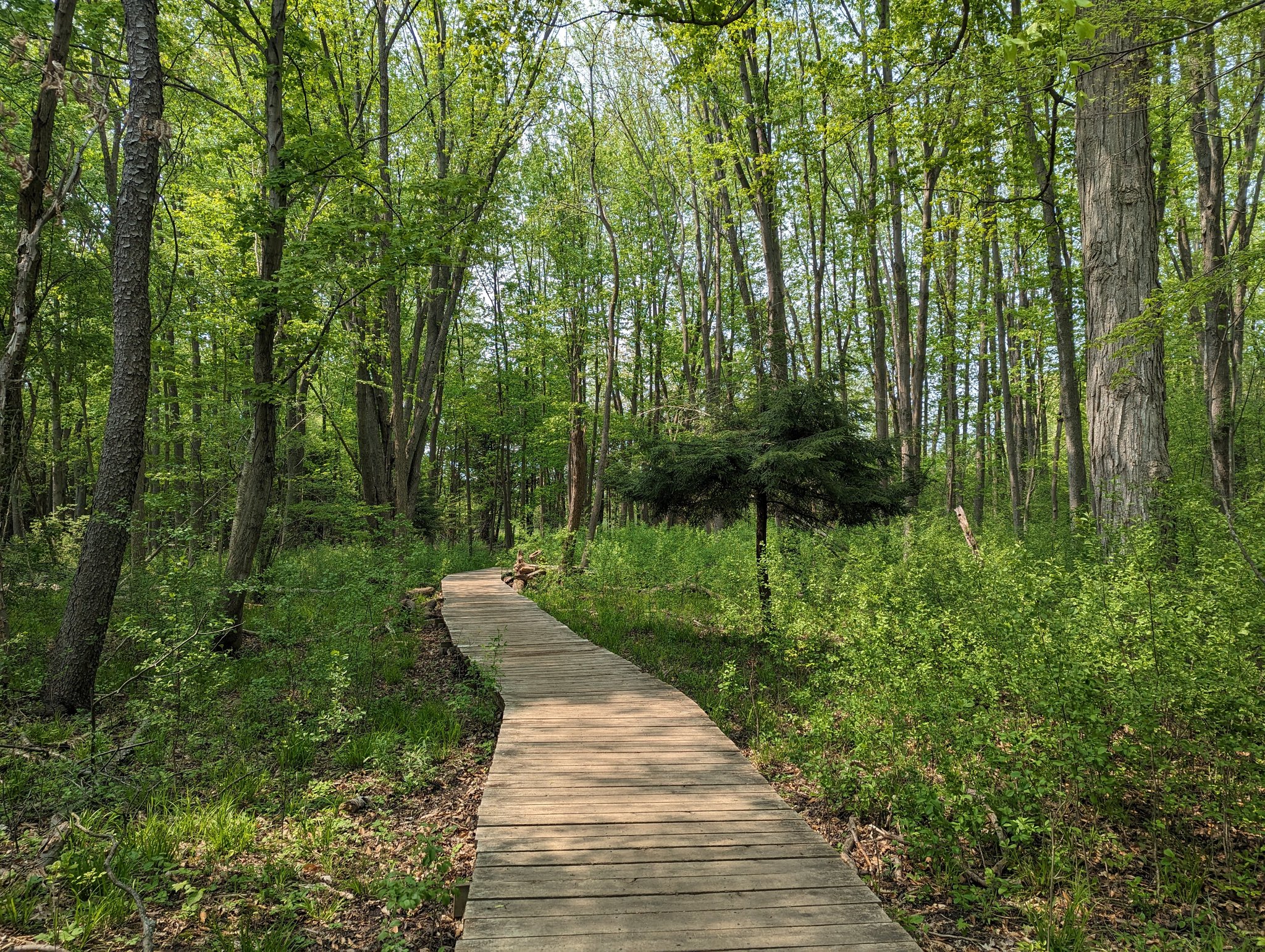
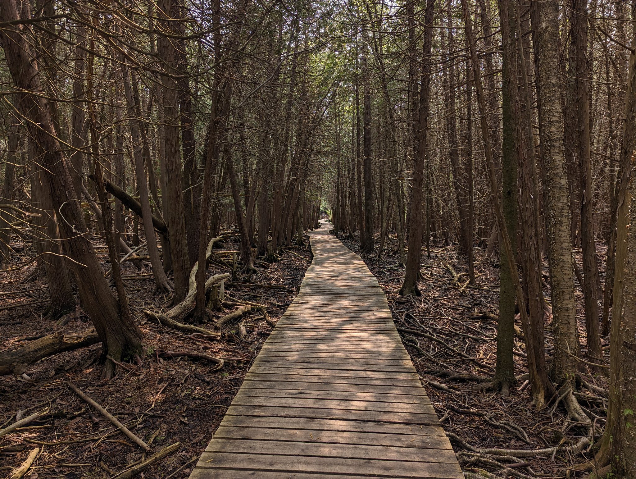

More boardwalk bog shots, cause what’s not to love?


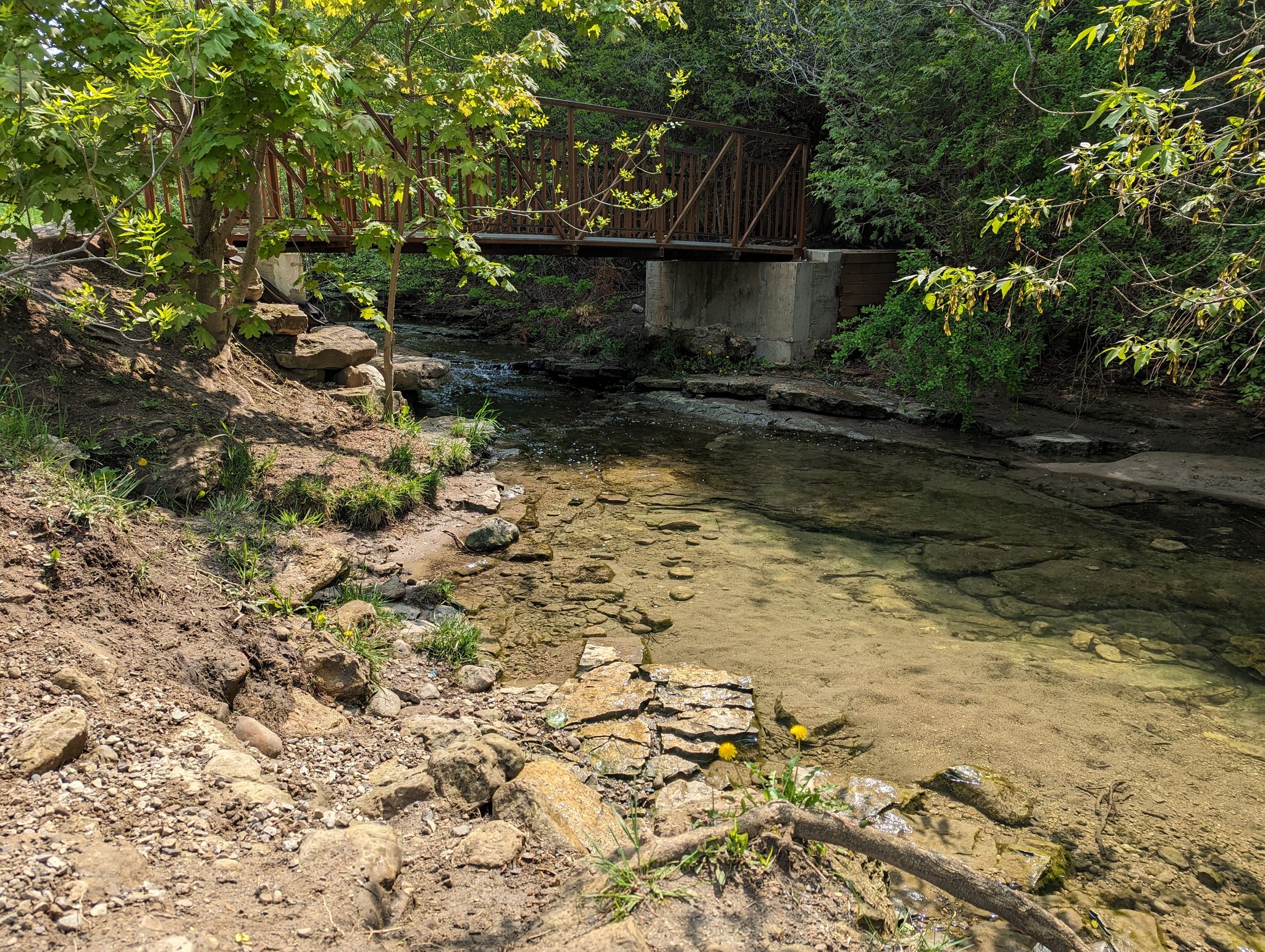
Into the (eastern) Hanlon Creek Business Park. Stonedust trails again, and industrial ditches dominate outside of the woods. But a third tributary lives on under the tree cover, staying cool and providing habitat for small fish, amongst other aquatic and semi-aquatic life.


There’s a huge forest transition in the south part of the park. The cedars dwindle, and deciduous and pine become dominant. Once again I’m blown away by the richness of this area. I’m past the last tributary, and now heading towards more wetlands / stormwater management.

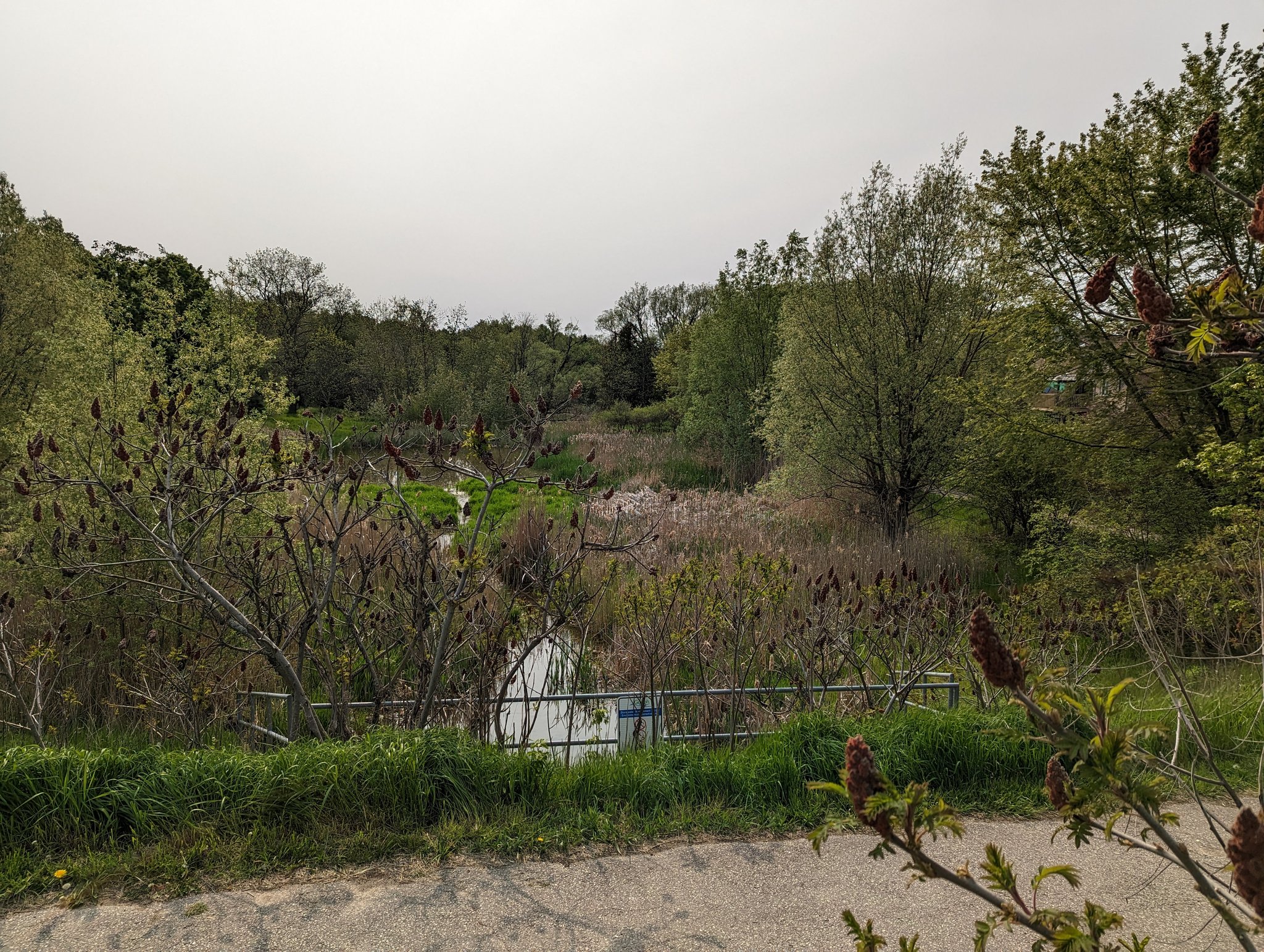
Into the Clairfields area, from wide natural wetland and forest to narrow and built wetland and meadow. There are no permanent watercourses here, just bowls of natural area connected by wide mouthed culverts that allow the water to drain westward towards Preservation Park.


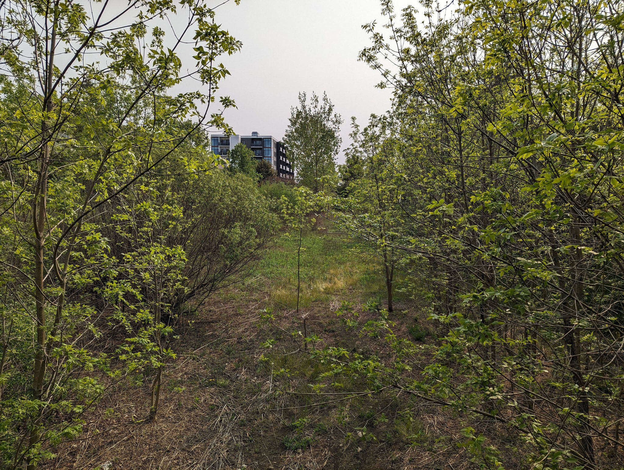
This isn’t bad for a recent subdivision, and it’s becoming a dense node in the city. Trails are nice, the space is planted well, and lots of neighbourhood connections. Eventually the paths lead you to Beaver Meadow Drive, which separates the Hanlon and Torrance watersheds.


Another greenway system is tucked south of Pine Ridge Drive. These maintained meadows are meant to just hold and soak water into the ground, they don’t really have an outlet except for an emergency outflows. All this marks the Hanlon Creek headwaters. That’s all for today.


Date: May 21, 2023
Length: 21.5 km
Type: Riverine