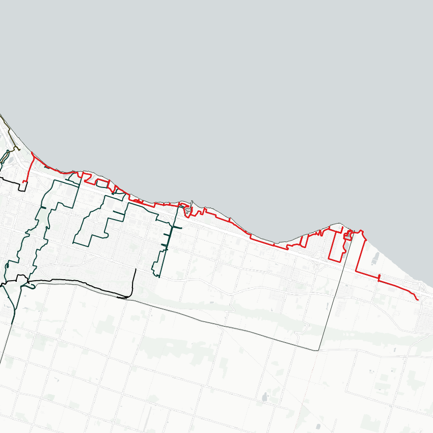
Good morning from northcentral Hamilton. Today I will be tracing Hamilton’s shoreline, from Confederation Beach area east to the city’s border with Niagara Region. Let’s go.


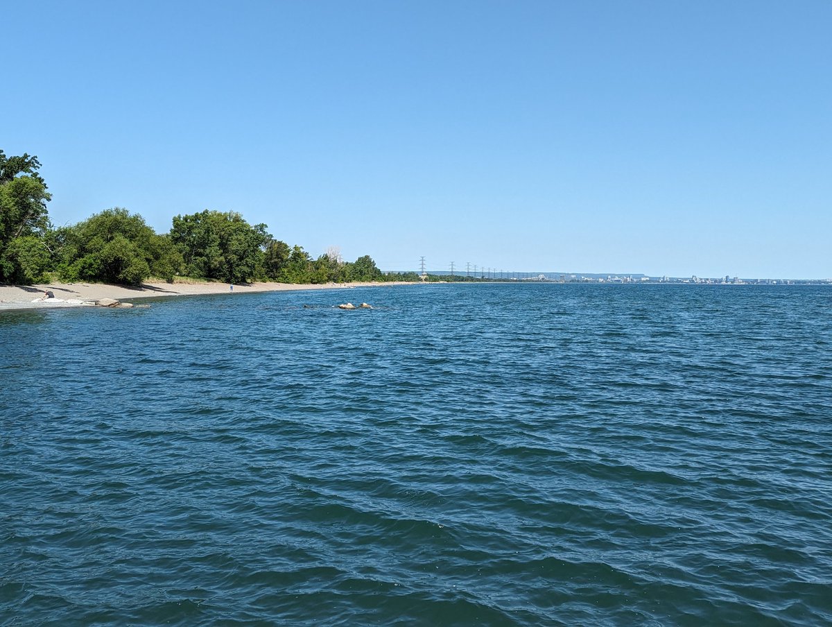

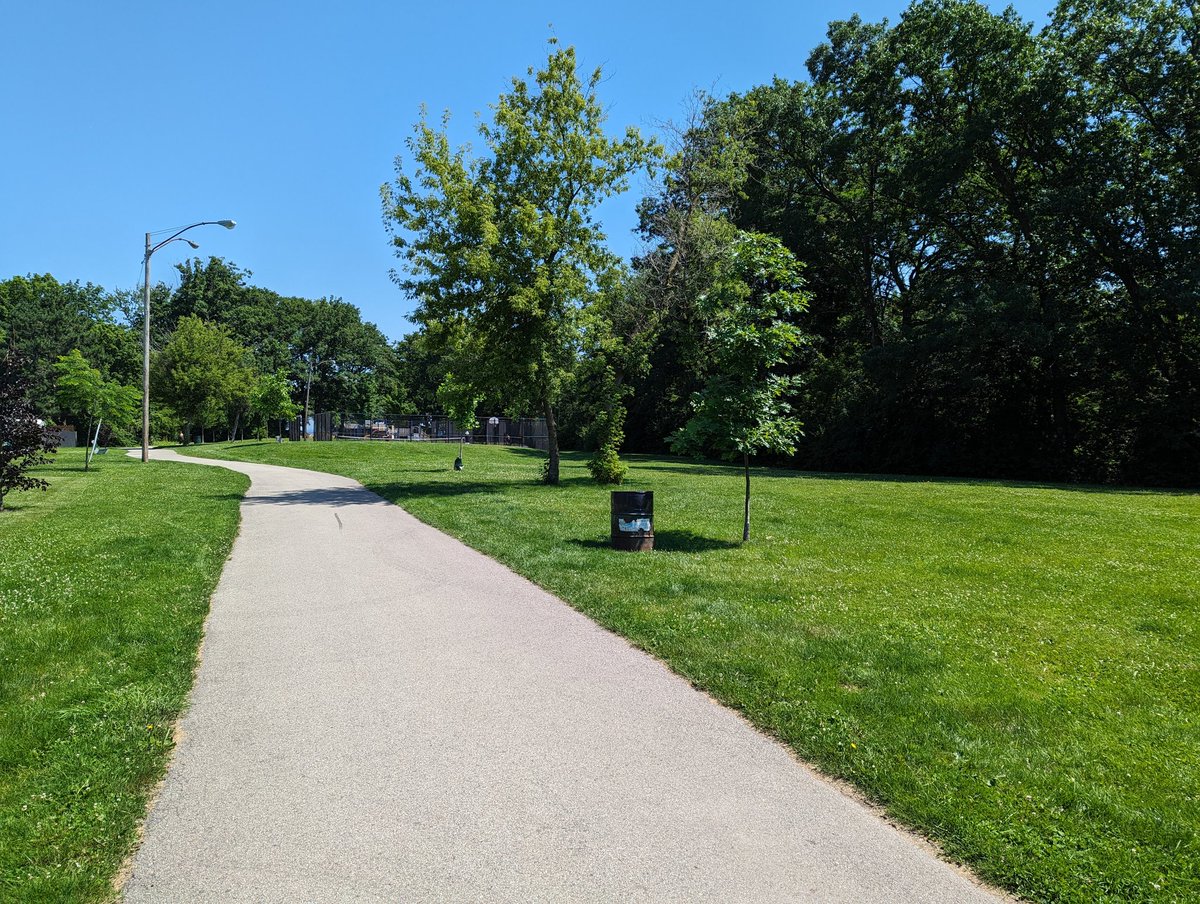
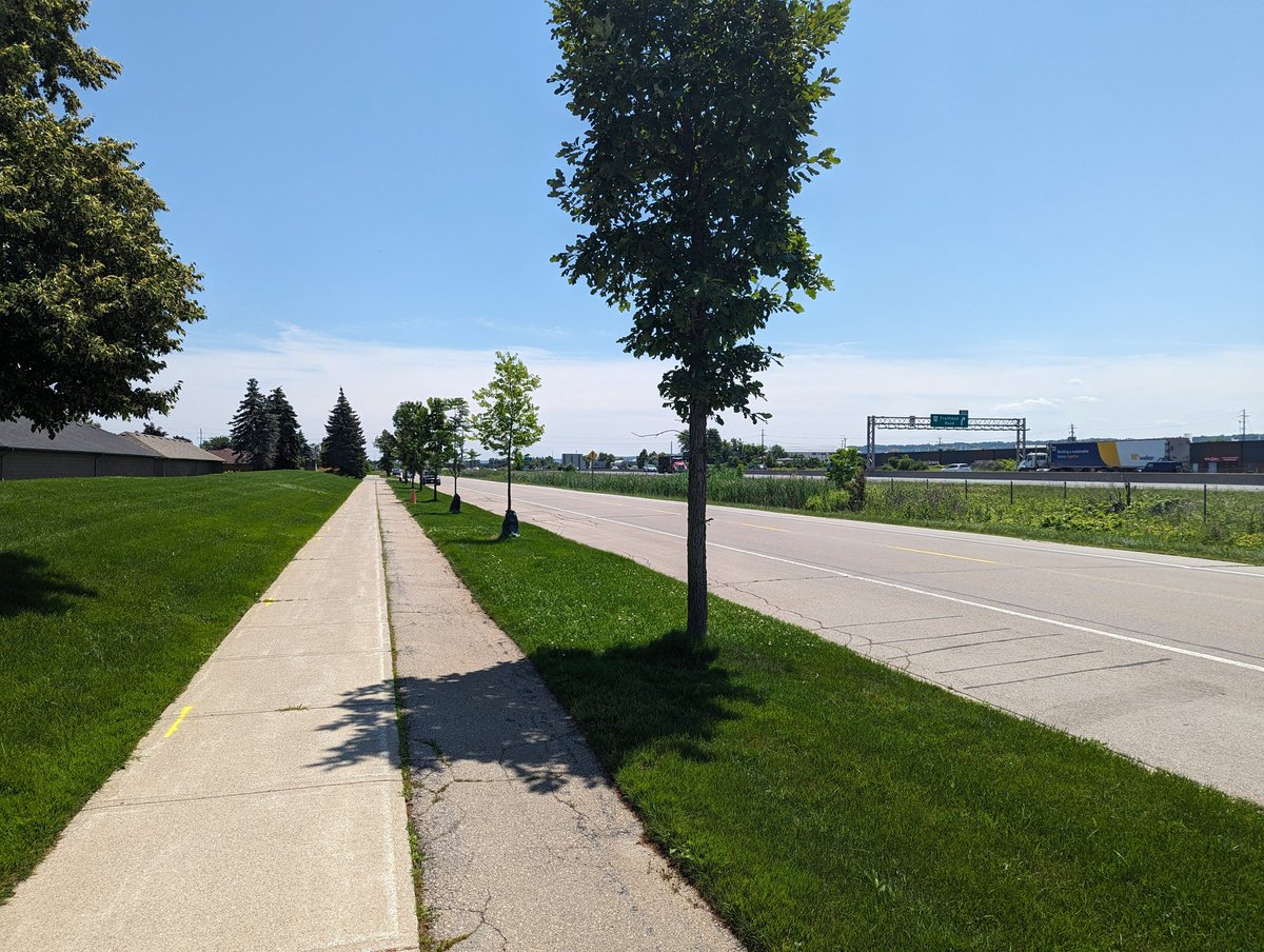
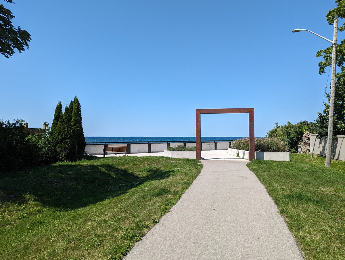
North of the QEW/Red Hill Valley interchange, the shoreline is basically a continuation of the public trail and open space that will take you all the way to Burlington. As you go east, the beach recedes, beaten by wave action.


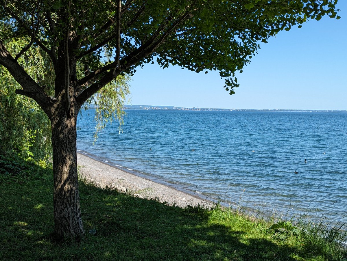
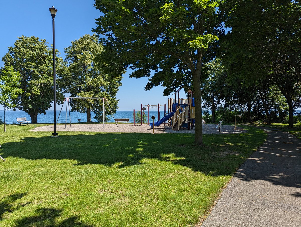
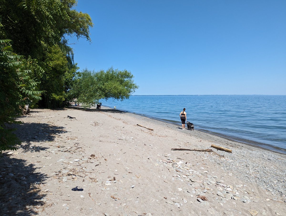
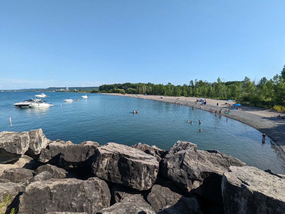
The mature trees along here do wonders to provide some shade along the trail. Lots of benches for breaks along the way. Though it’s not sandy, a shady rock beach remains, if that’s your style. Ponds in parallel mark the outlets of east Hamilton’s drains.


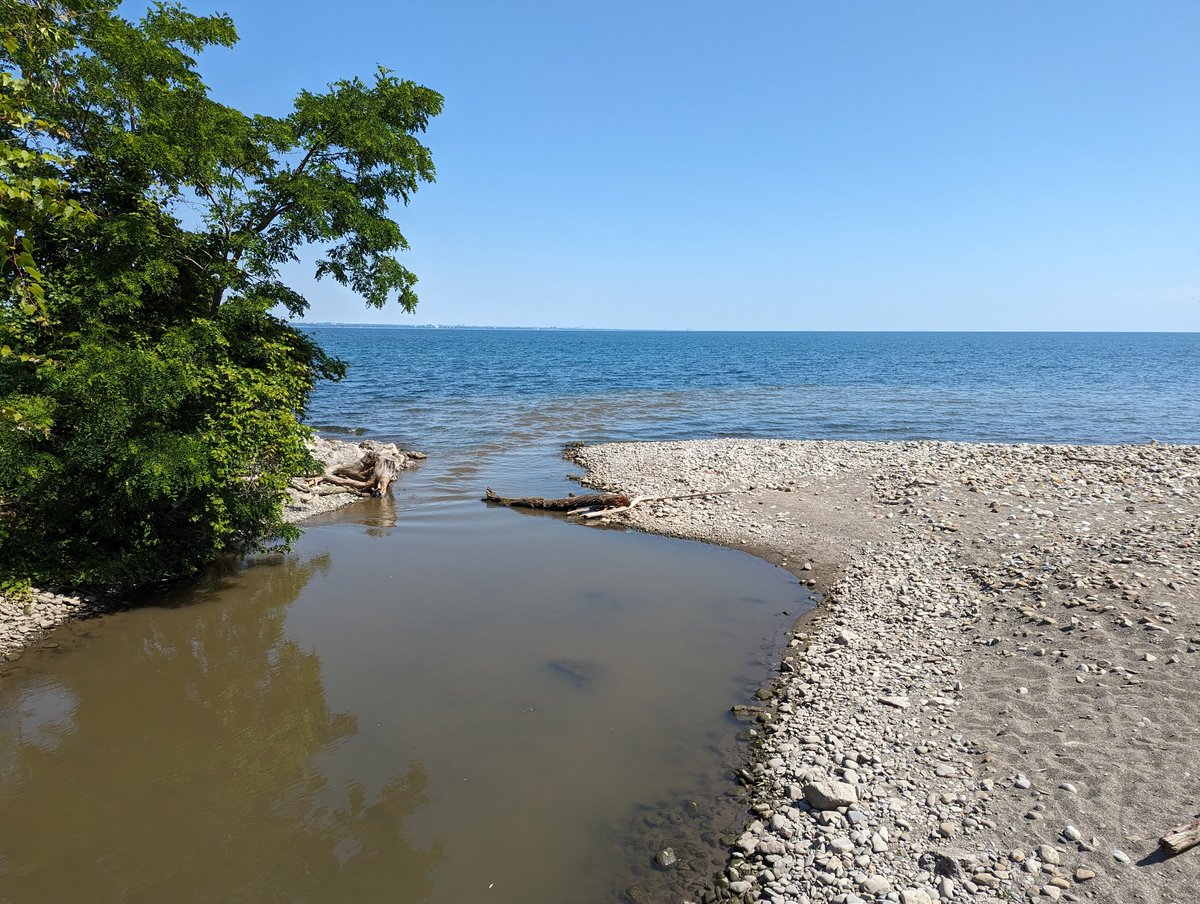
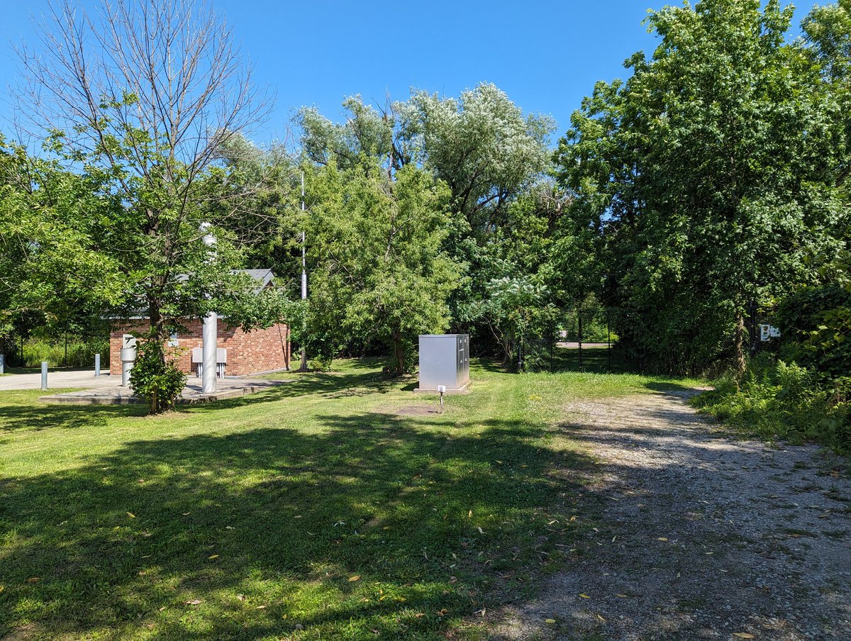
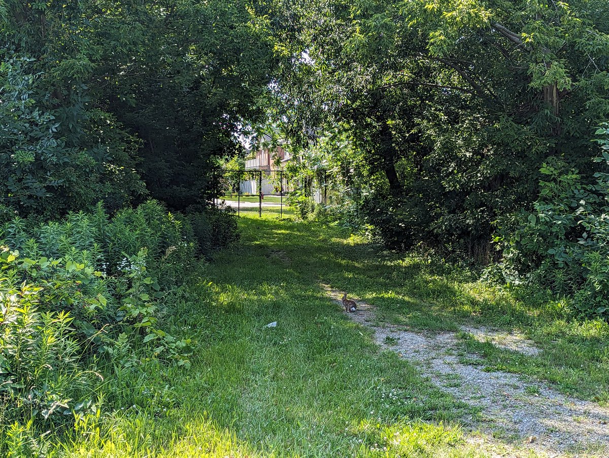
Over Stoney Creek (the watercourse), which is actually outflowing to the lake today. More thick forest makes for a rich and shady walk. Then Hamilton Beach Trail dumps out onto Grays Road. We now switch gears from largely public shoreline to intermittent parkettes between houses.


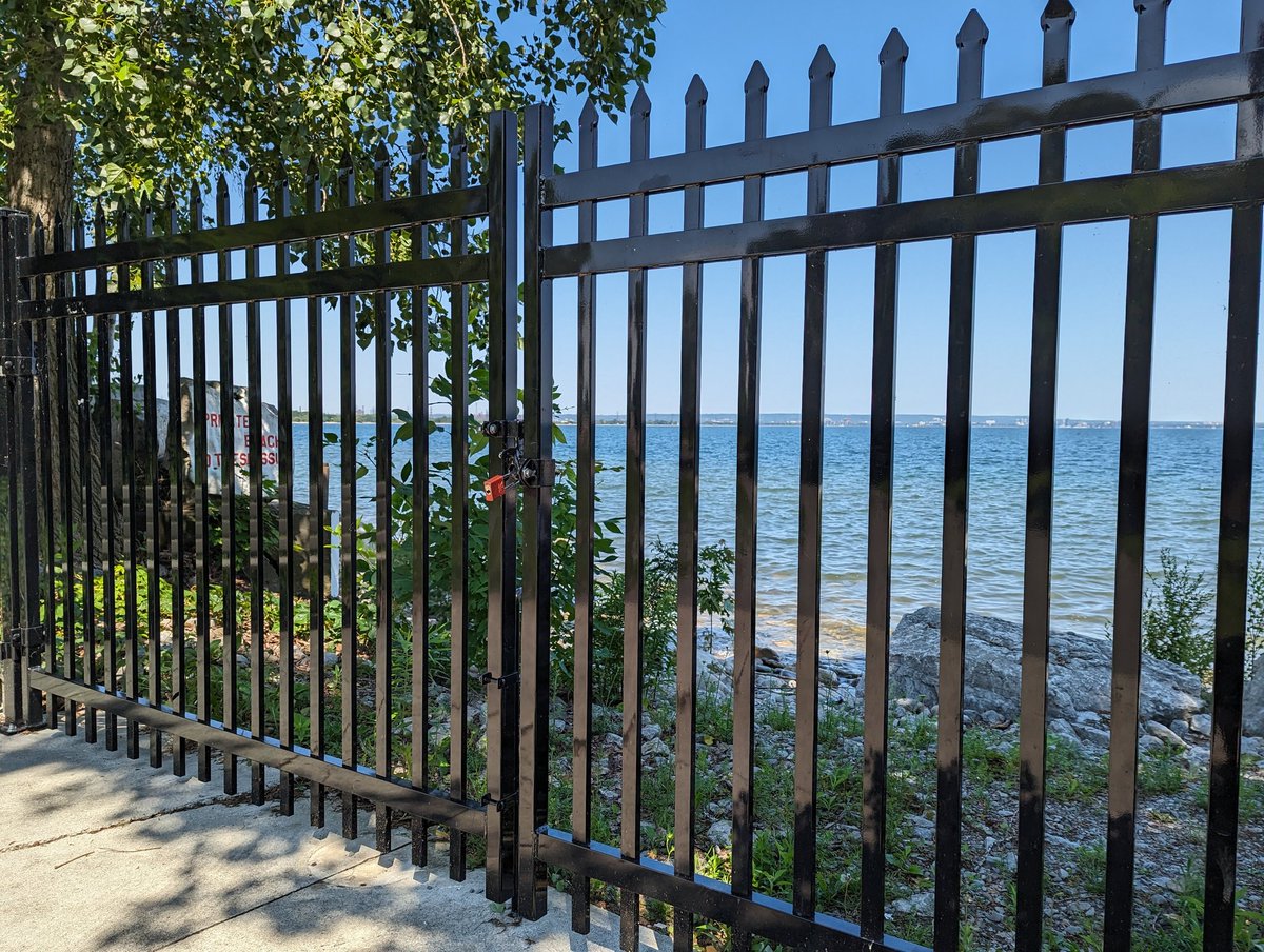
Grays to Green. A big detour around private lots backing onto a lake inlet (drain outlet?). Some public space along Edgelake Park (south of Church Street, not on lake’s edge). Greeted by jersey barriers, a fence prevents more shoreline enjoyment next to an apartment building.


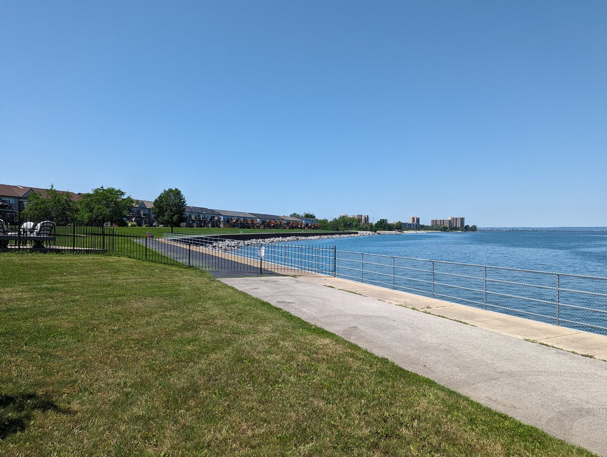
Green to Millen. This is what it looks like to increase development density next to reclaimed public land. This is a formula that can be used by any municipality to tackle the housing crisis and deficiencies in high quality parkland at the same time.


Millen to Cherry Beach Road. This is a weird spot. City mapping and road signs suggest some of these parcels are public land, reclaimed from damaged or destroyed houses. But if I had to guess, two houses here are holdouts to making a new public park.


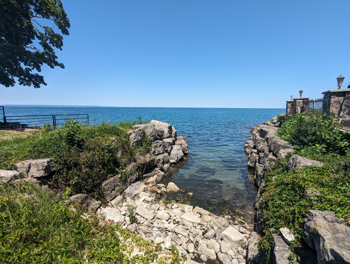
Cherry Beach to Dewitt. A private community boots you out to alongside the highway. I don’t really get why this is private.
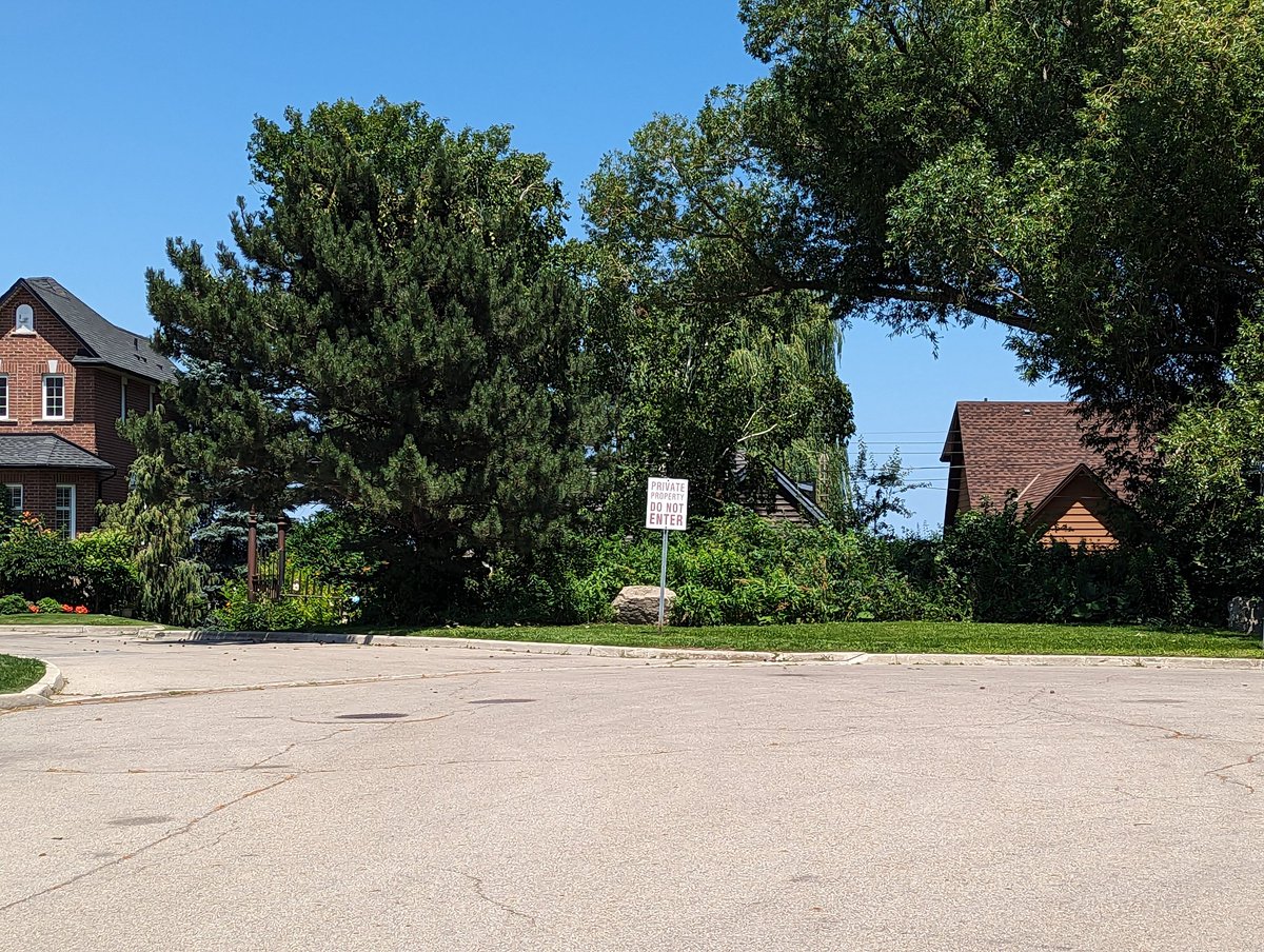
Dewitt to Jones. A few peeks at the lake where drains and/or rights-of-way are. Otherwise it’s private lots. The gap in public access is prolonged by another private community encircling a lake inlet, and a failure to connect the north terminus of Sunvale Place to Lakeside Drive.
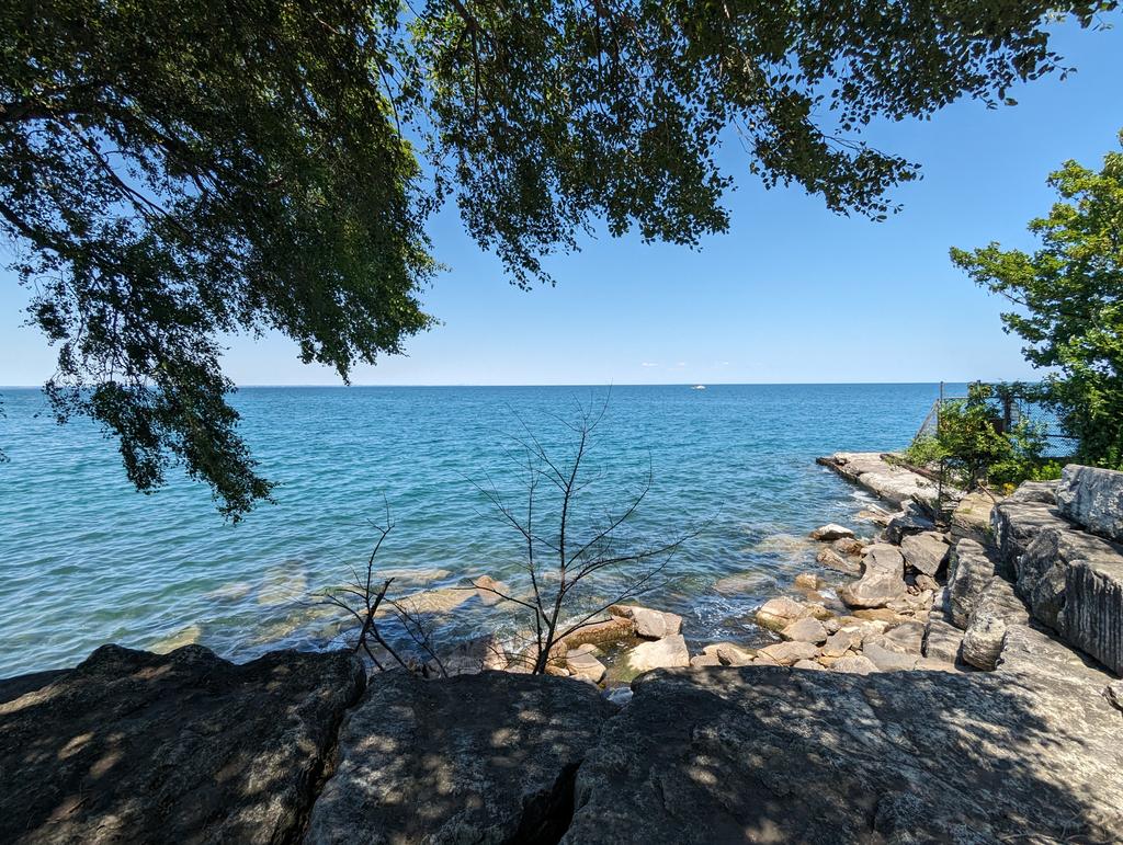
Jones to McNeilly. More lakeside potentially in the works to remain private, in a community with anti-loitering devices. Glover Road provides a slice of Sicily, and a drain outlet provides another break.


McNeilly to Creanona. A really long 1.3km jaunt along North Service Road, with one right-of-way at Lewis Road that was blocked off. Two more open “road parkettes” at Winona Road and East Street, and then Creanona’s right-of-way was gobbled up by the house adjacent.


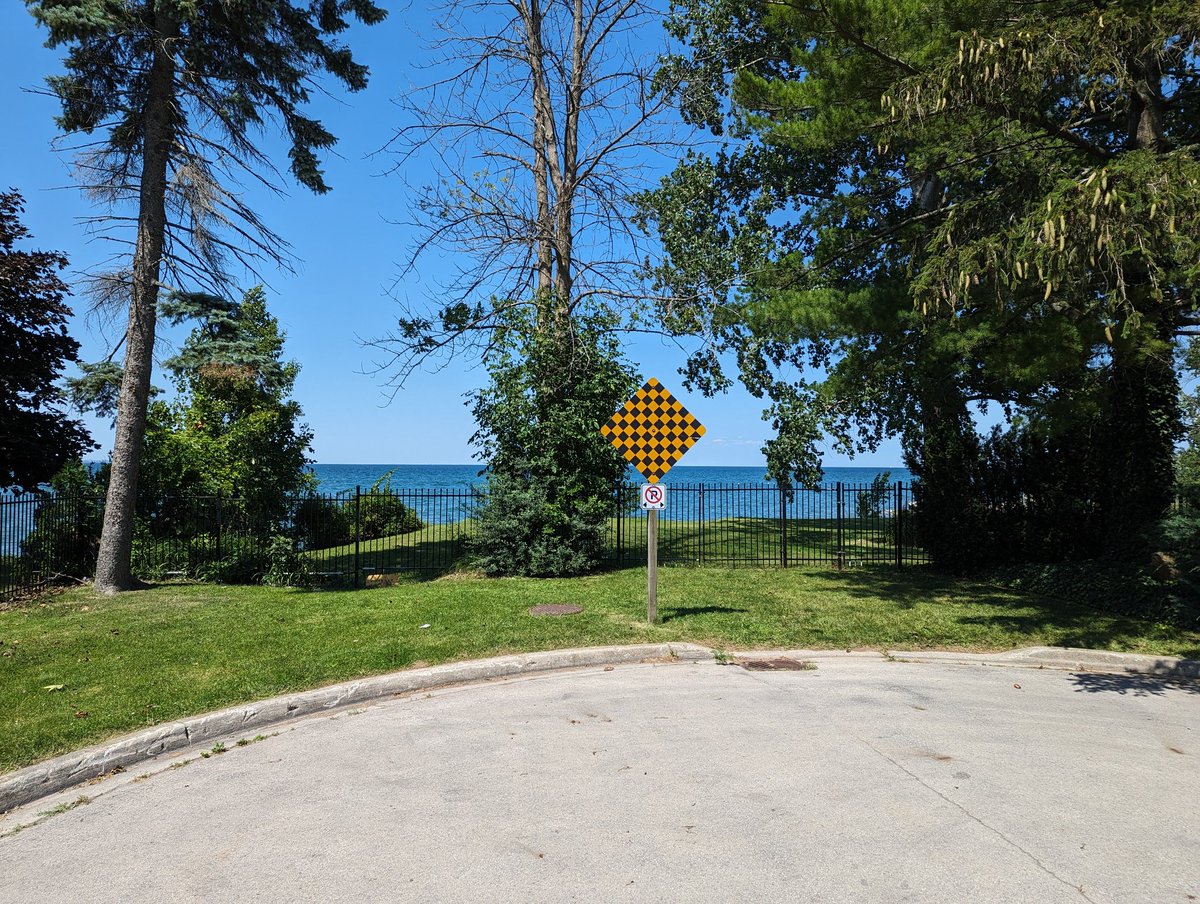
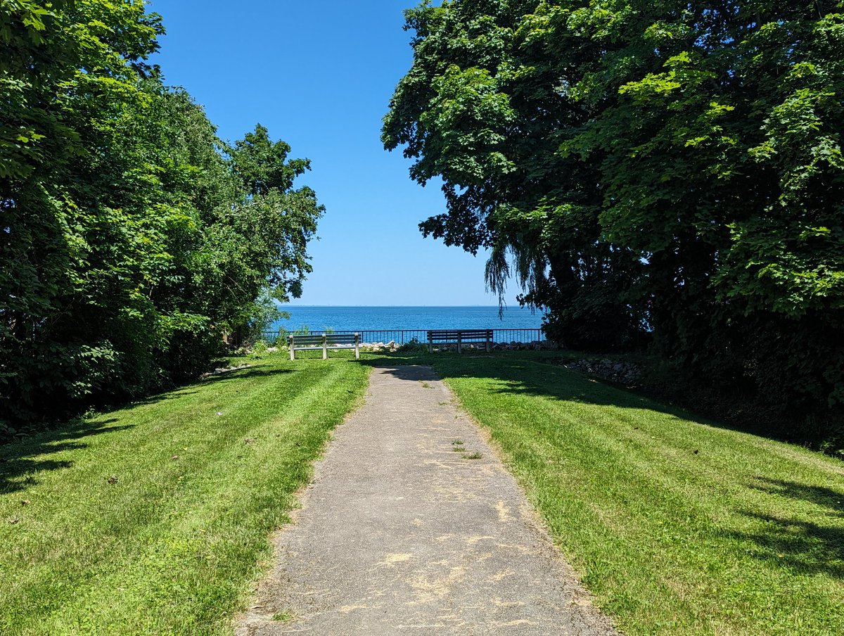
Creanona to Shippee. Lake Vista Park does not offer much of a vista of the lake. Fifty Road Parkette is a nice sliver, built to hold up against the waves. Beyond that, no lake access, Shippee becomes a private road. A stormwater management pond offers no public space either.


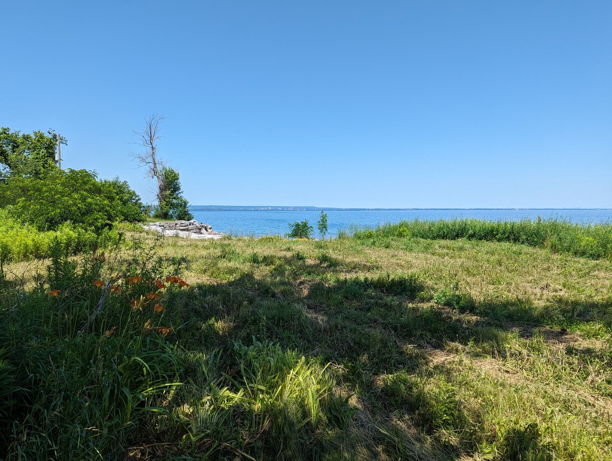
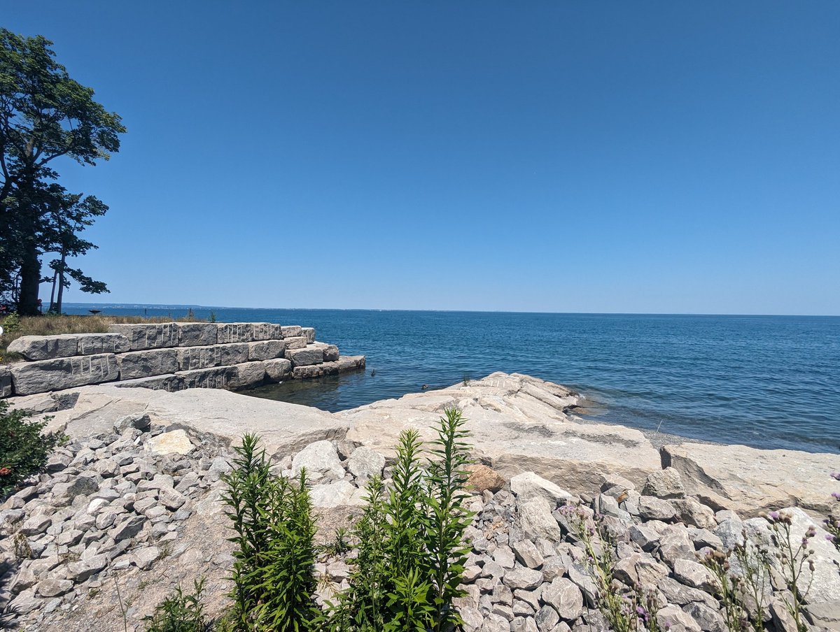
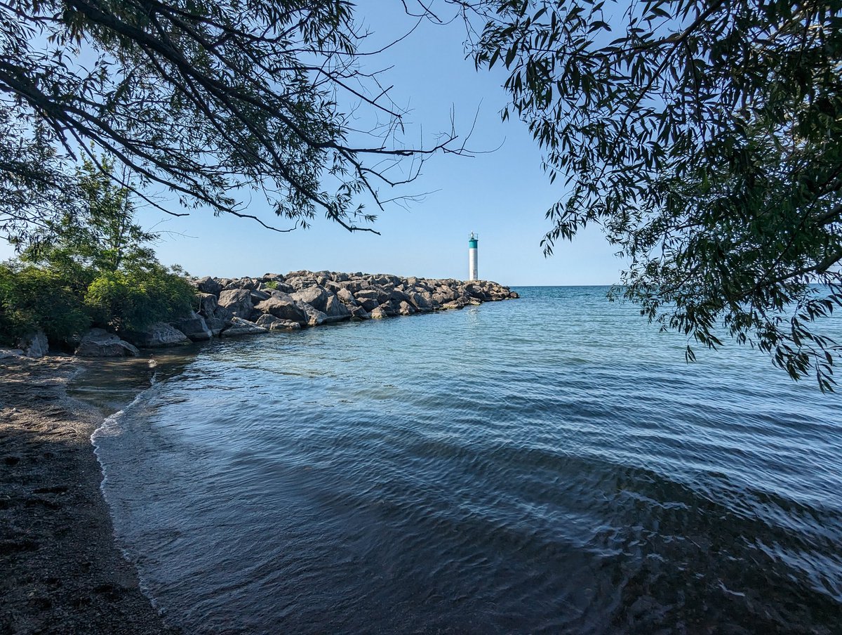
Fifty Point Conservation Area. It took me 3 kilometres / 1 hour to get to the other side of this fence, because this is a paid access park, and there’s no gate on the northwest side. But here I am, on the west bank of Fifty Creek’s confluence with the lake.


Technically, the city border is a few meters off the east edge of this groyne. Practically, the city’s border is the east edge of the park, and by that thinking, it affords a bit more accessible shoreline to Hamilton overall.


Parting shots as I head all the way to GO Grimsby P&R, that’s where I end my walk today.


Date: July 7, 2023
Length: 29.8 km
Type: Shoreline
Related Walks

Shoreline / hydro corridor to the northwest
Beach Hydro
Upstream urban drains
Stoney Creek Drains I


Major creek upstream
Stoney / Battlefield Creek
Shoreline in the west end
Stoney Creek Drains I


