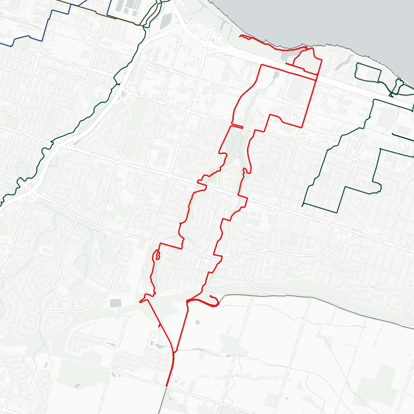
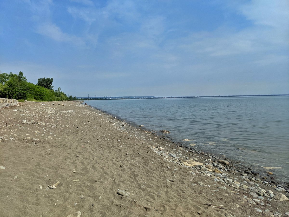
Good morning from Confederation Beach. Today I will be following Stoney and Battlefield Creeks, which mark the west border of Hamilton’s Stoney Creek area. I’ll start at the lake, head up the escarpment, and come back down. Let’s go.

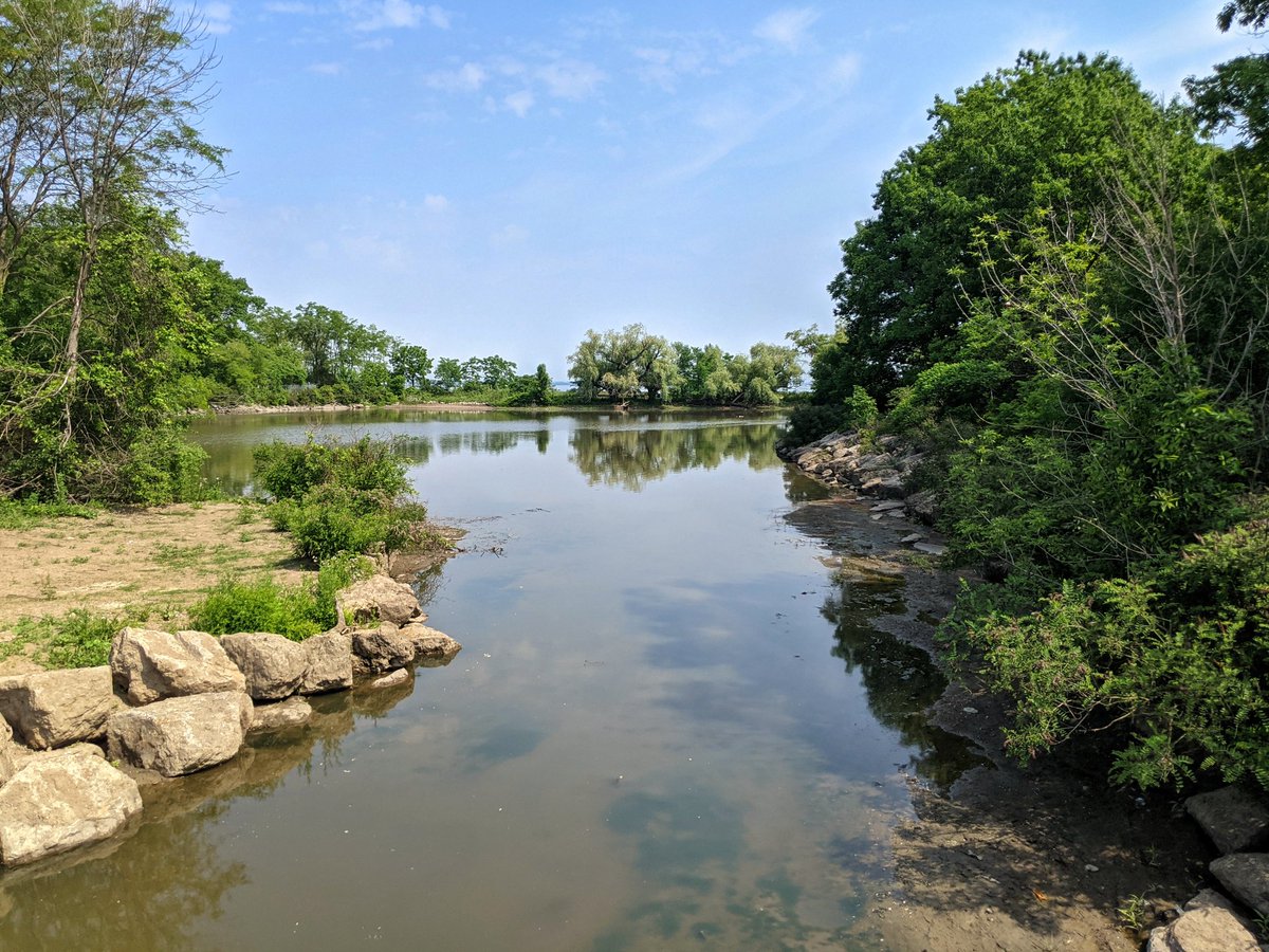
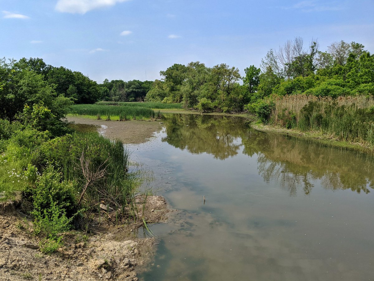
Stoney Creek dumps into a pond area before reaching the lake. Actually, it’s not even reaching the lake today. Not sure if that’s due to the drought conditions in southern Ontario, or if that’s just how poor this lower reach circulates.
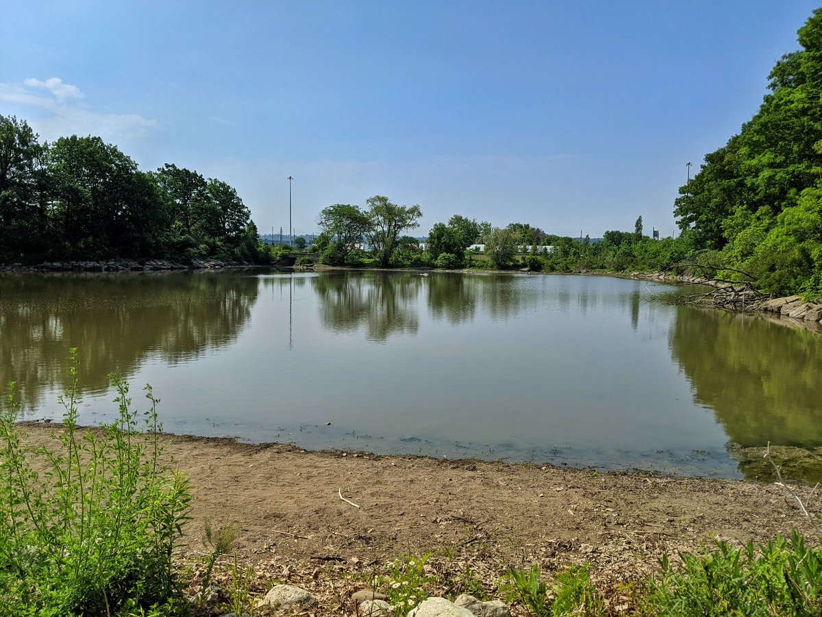

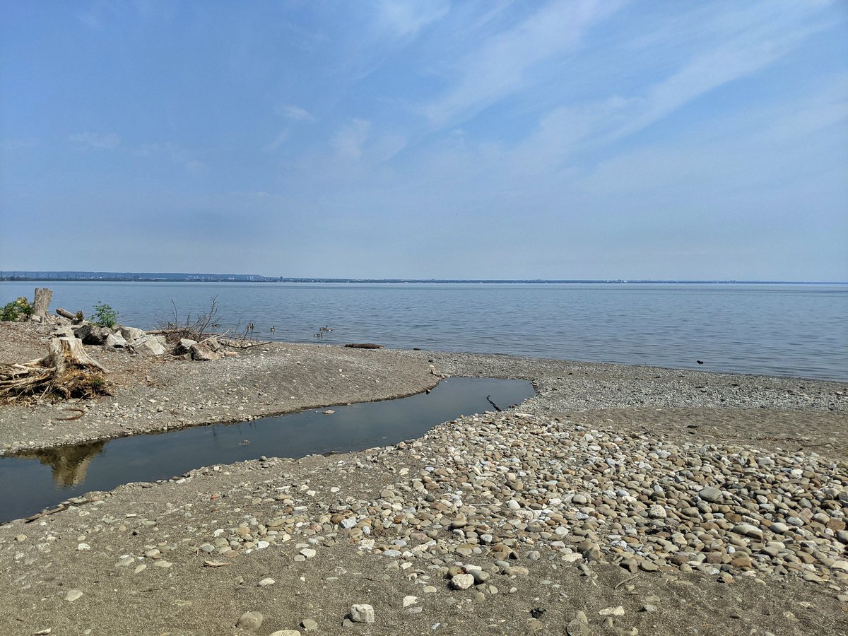
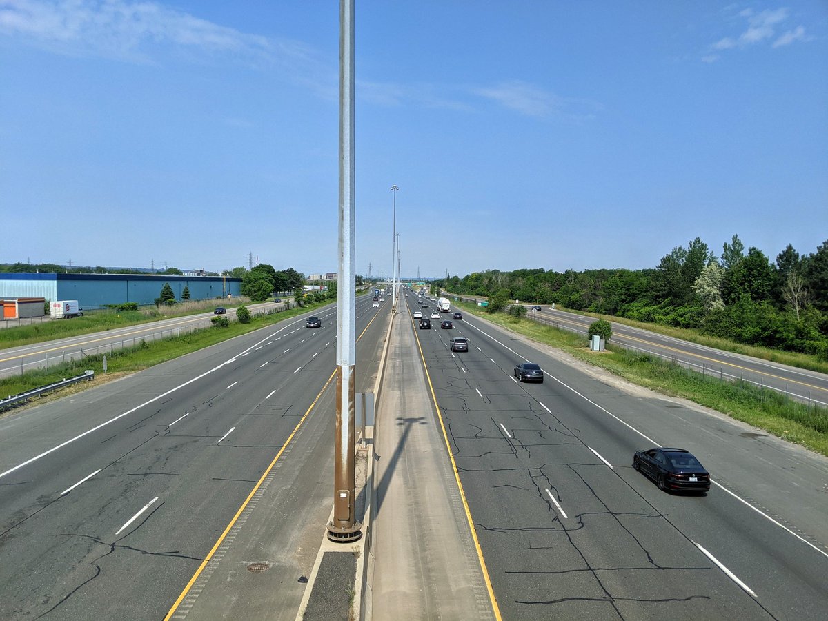
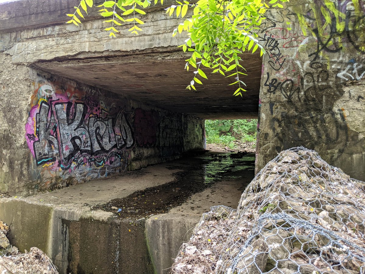
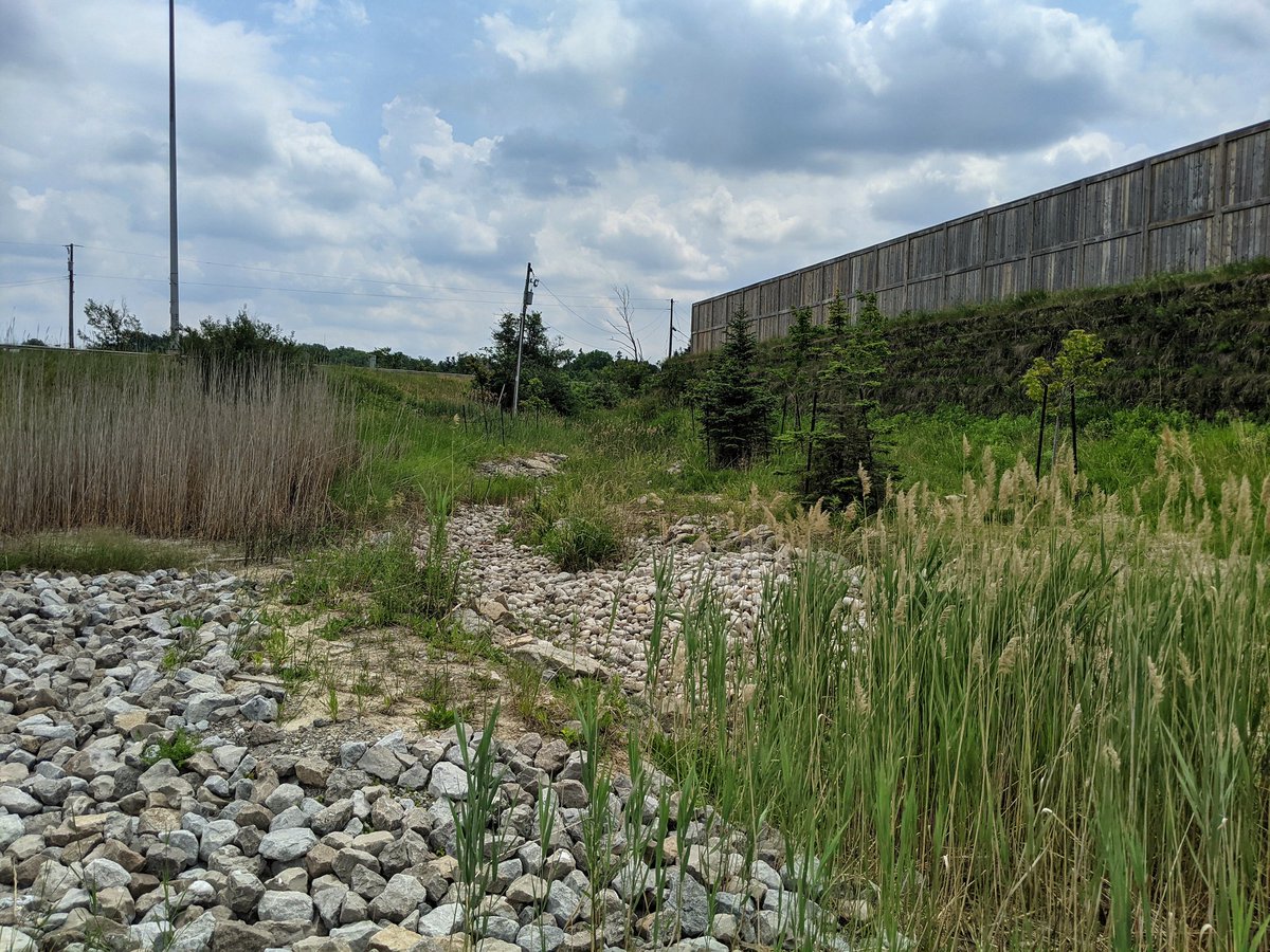
This lower reach pond is actually backflowing under the QEW today. As is typical for the east end, it’s a big detour around and over the freeway. But a nice glimpse of the creek south of South Service Road.

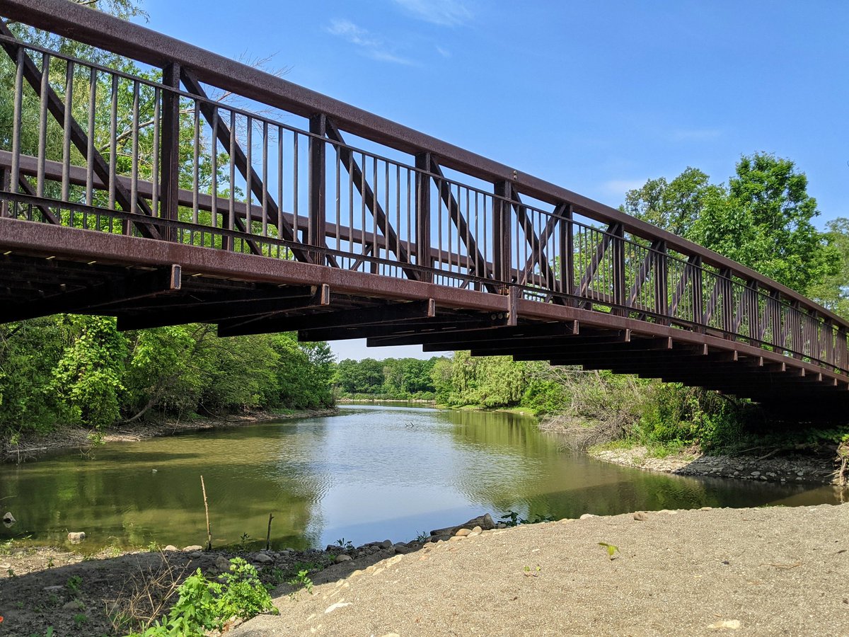
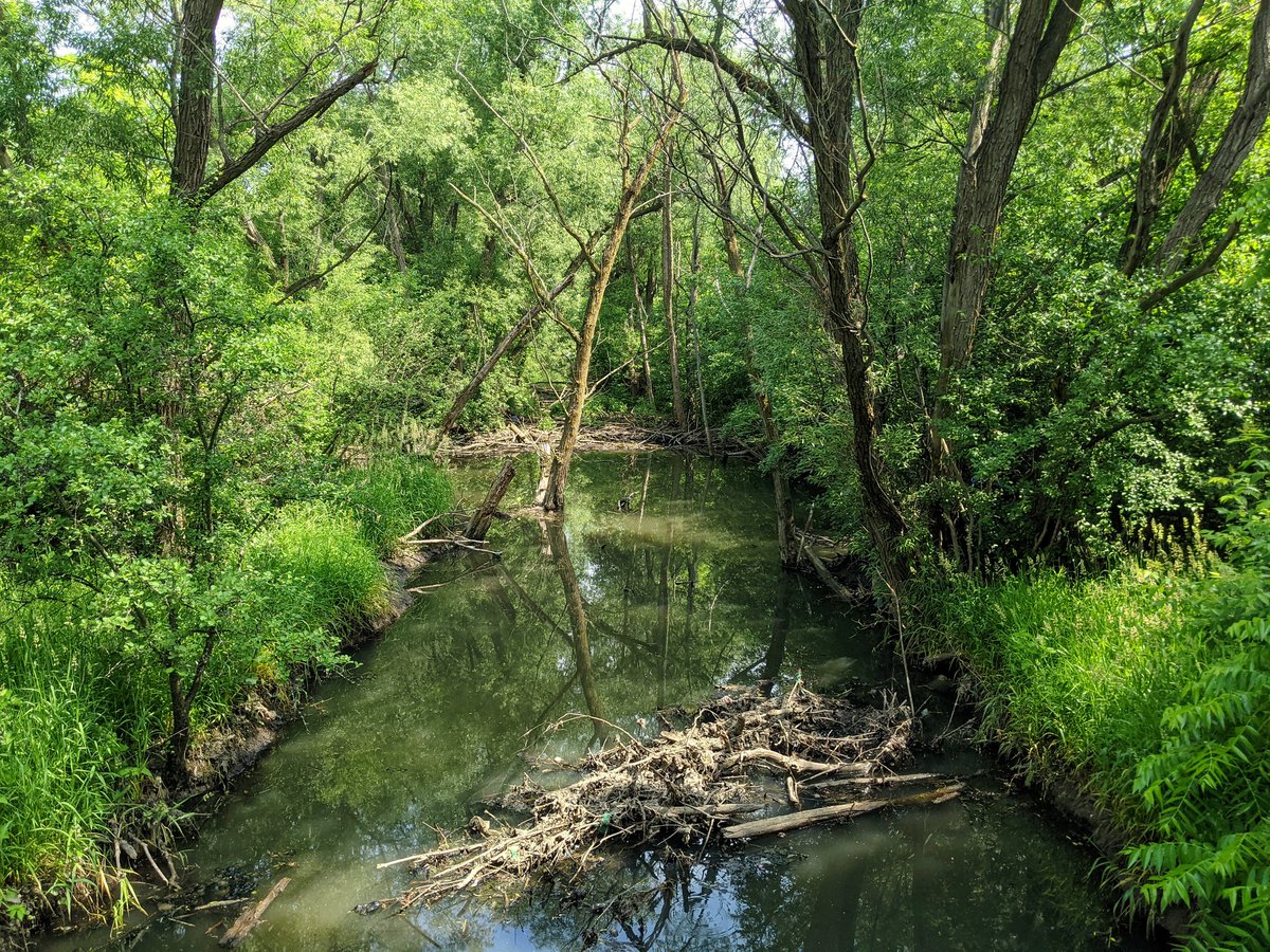
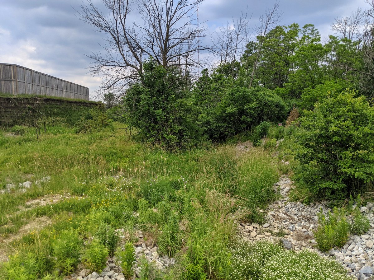
Thanks to private property and an overgrown utility corridor, my next look at Stoney Creek isn’t until Barton. Really nice looking though. Just south of here is its confluence with Battlefield Creek. I’m going to follow the latter to the mountain first.

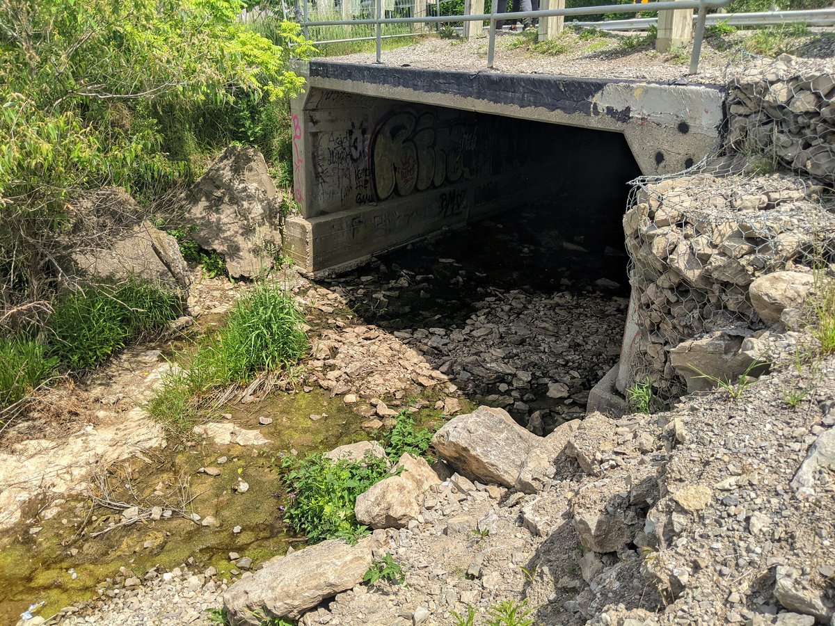
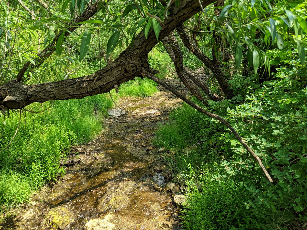
Battlefield is merely a stagnant trickle, but it flows nonetheless. After some more private property, it crosses Lake Ave, and I should be able to follow it more closely now.
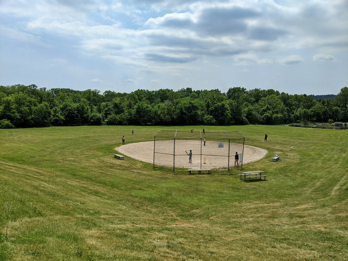
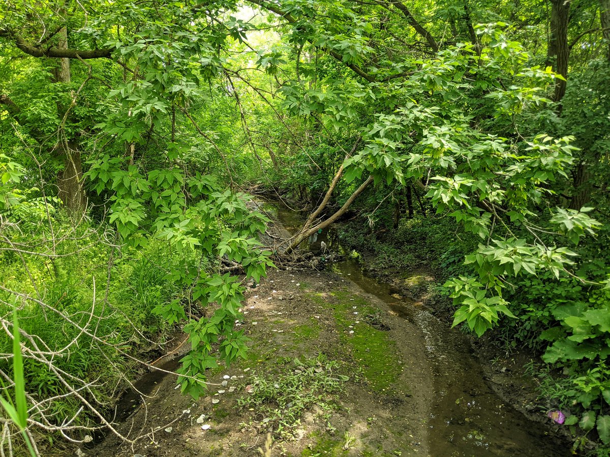
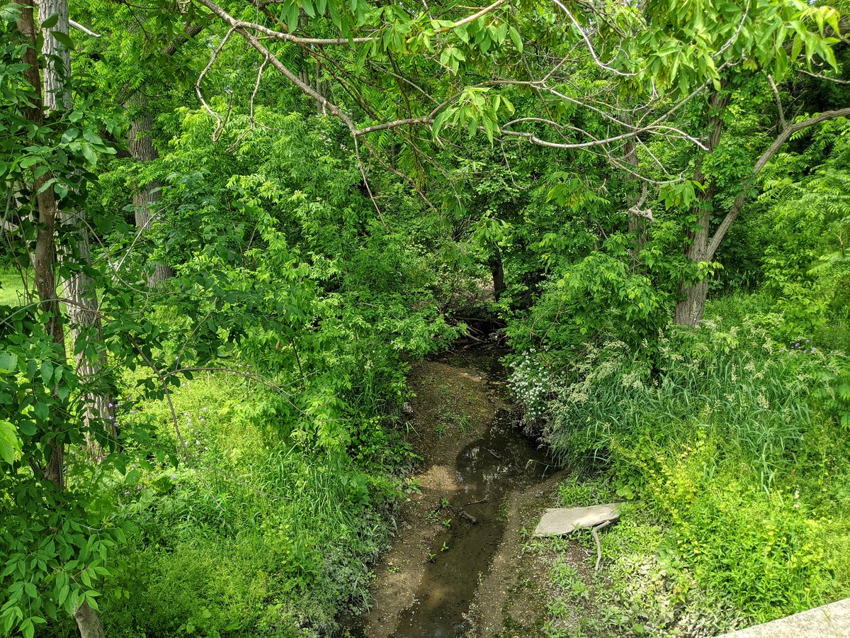
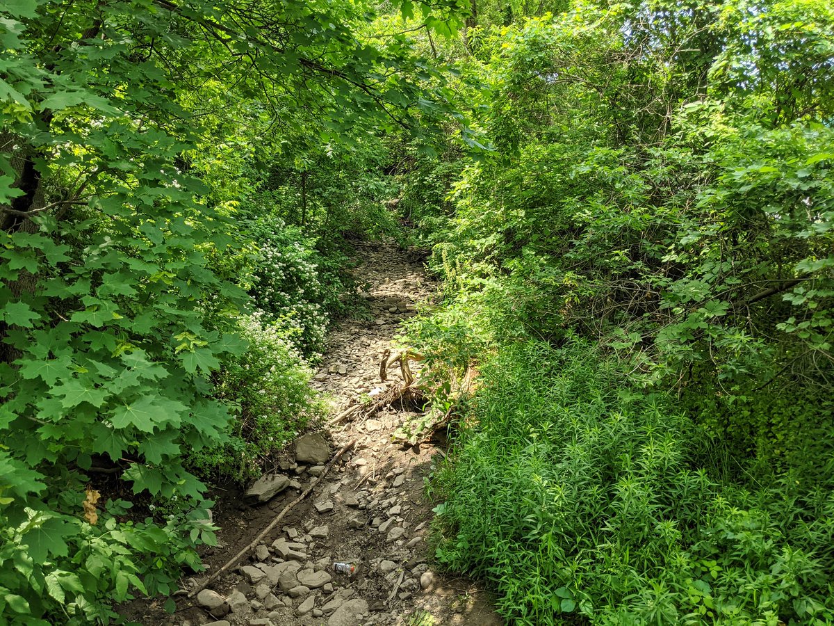
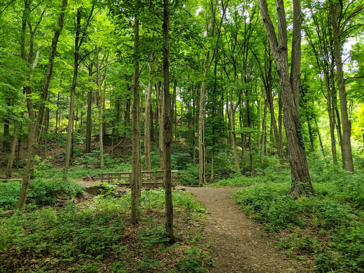
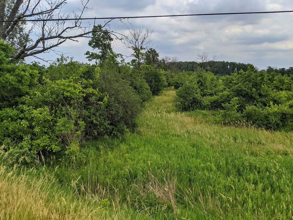
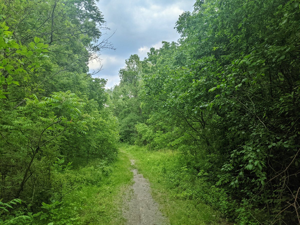
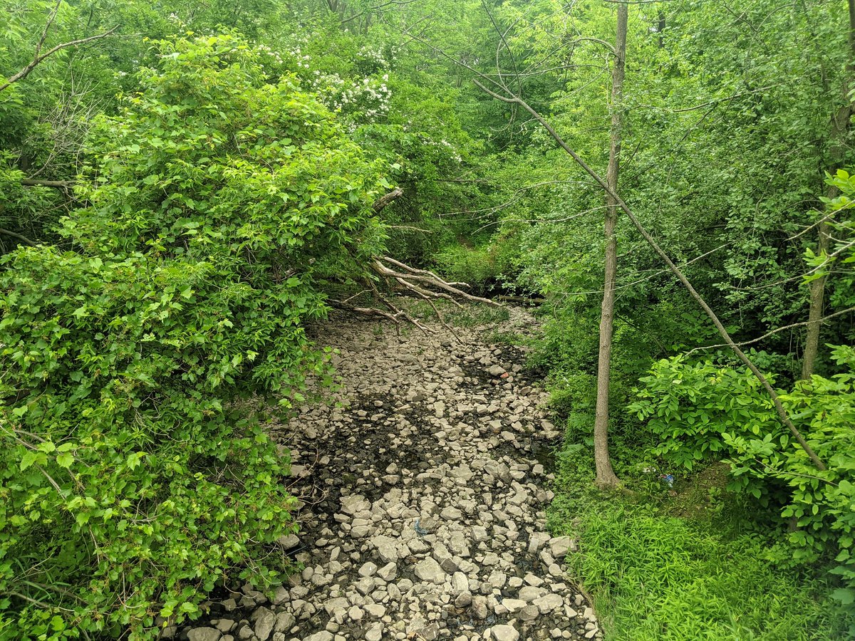
I am now right beside the creek, a multi-use trail parallels it through some city parks. But it’s dry as a bone.
Asked some locals, and apparently it does this every late summer whenever it gets hot and there’s a lack of rain. So not as abnormal as I thought. It does damper my hopes of seeing a waterfall today.
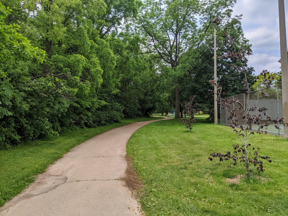
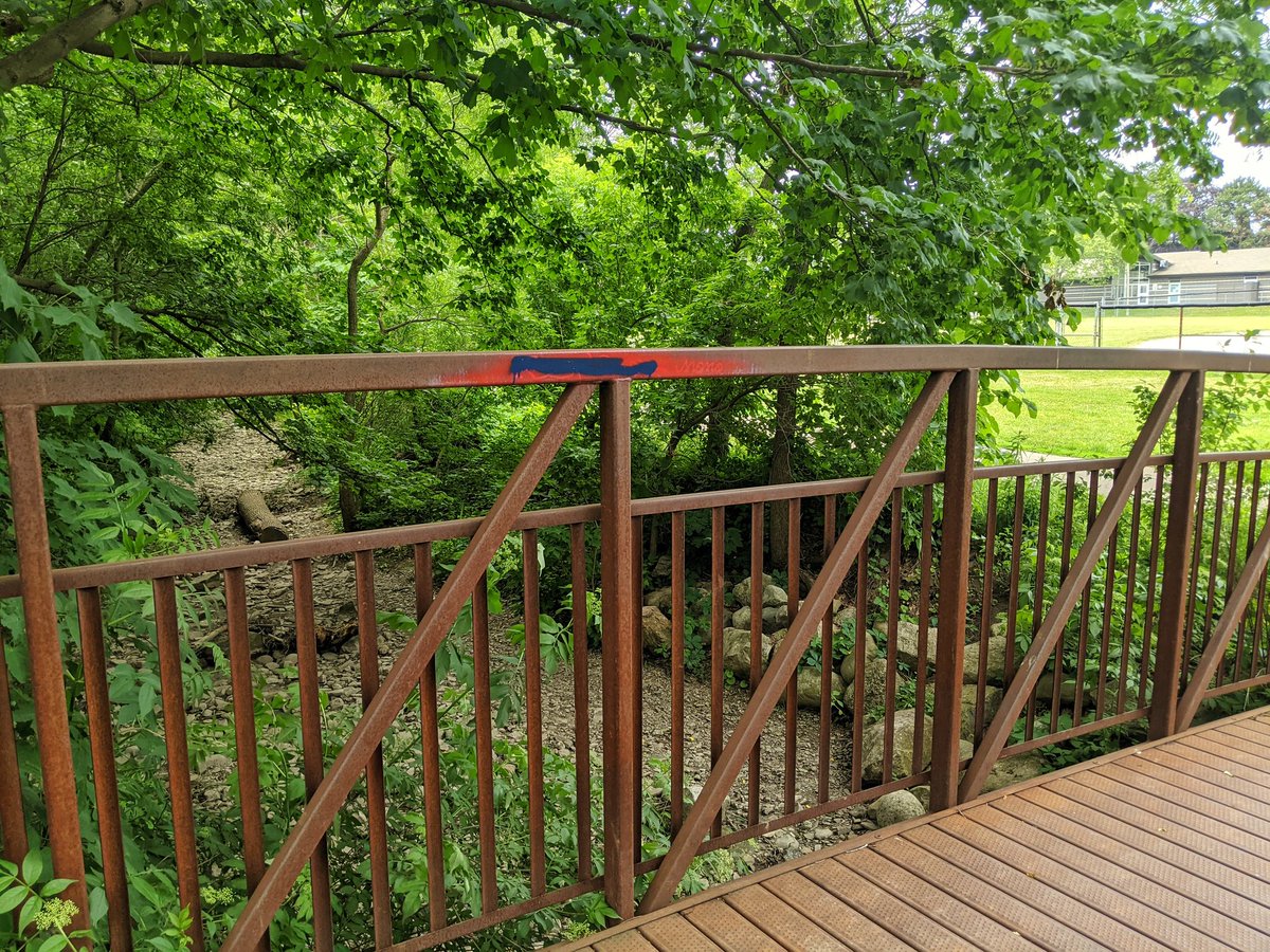
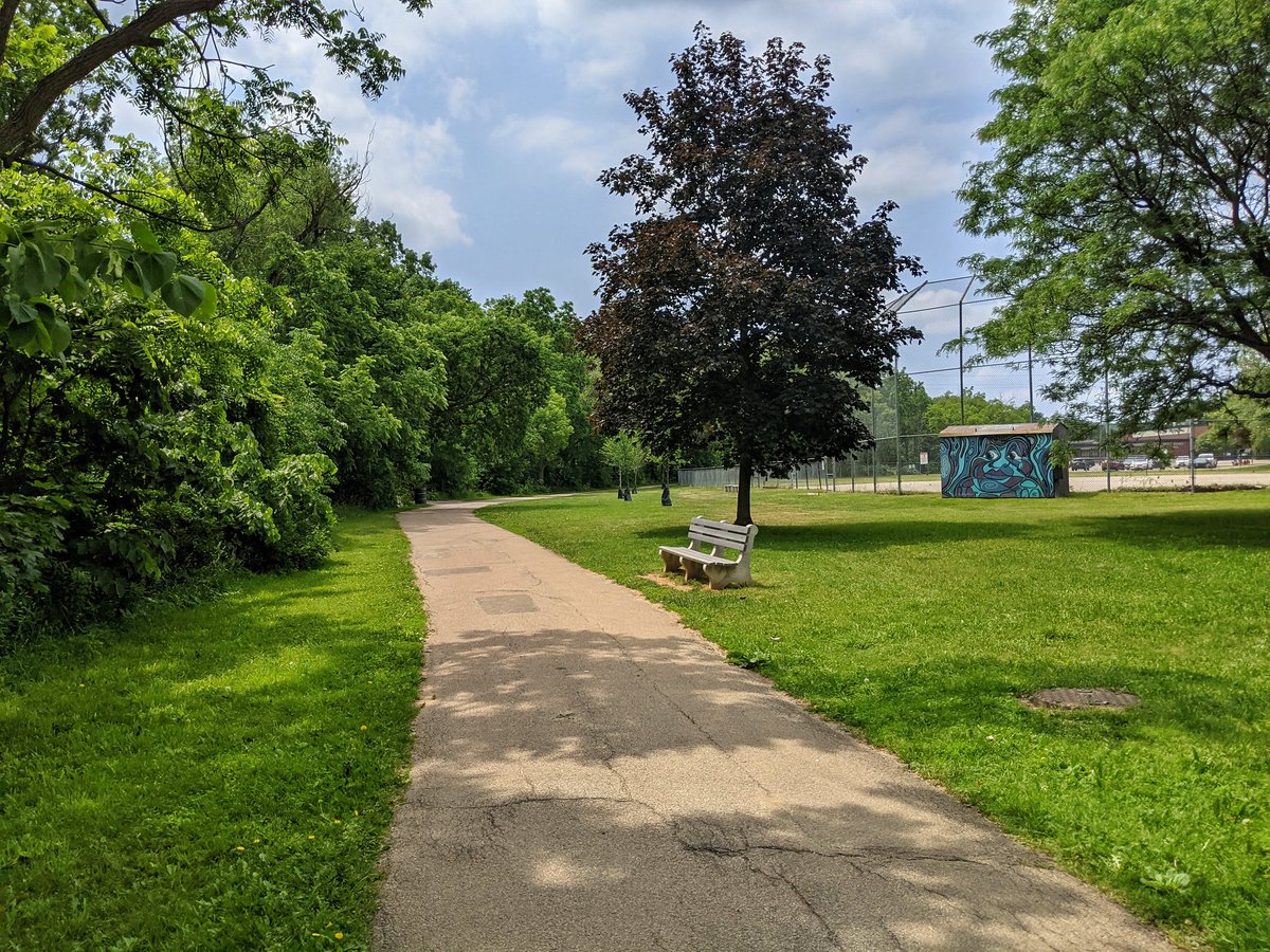
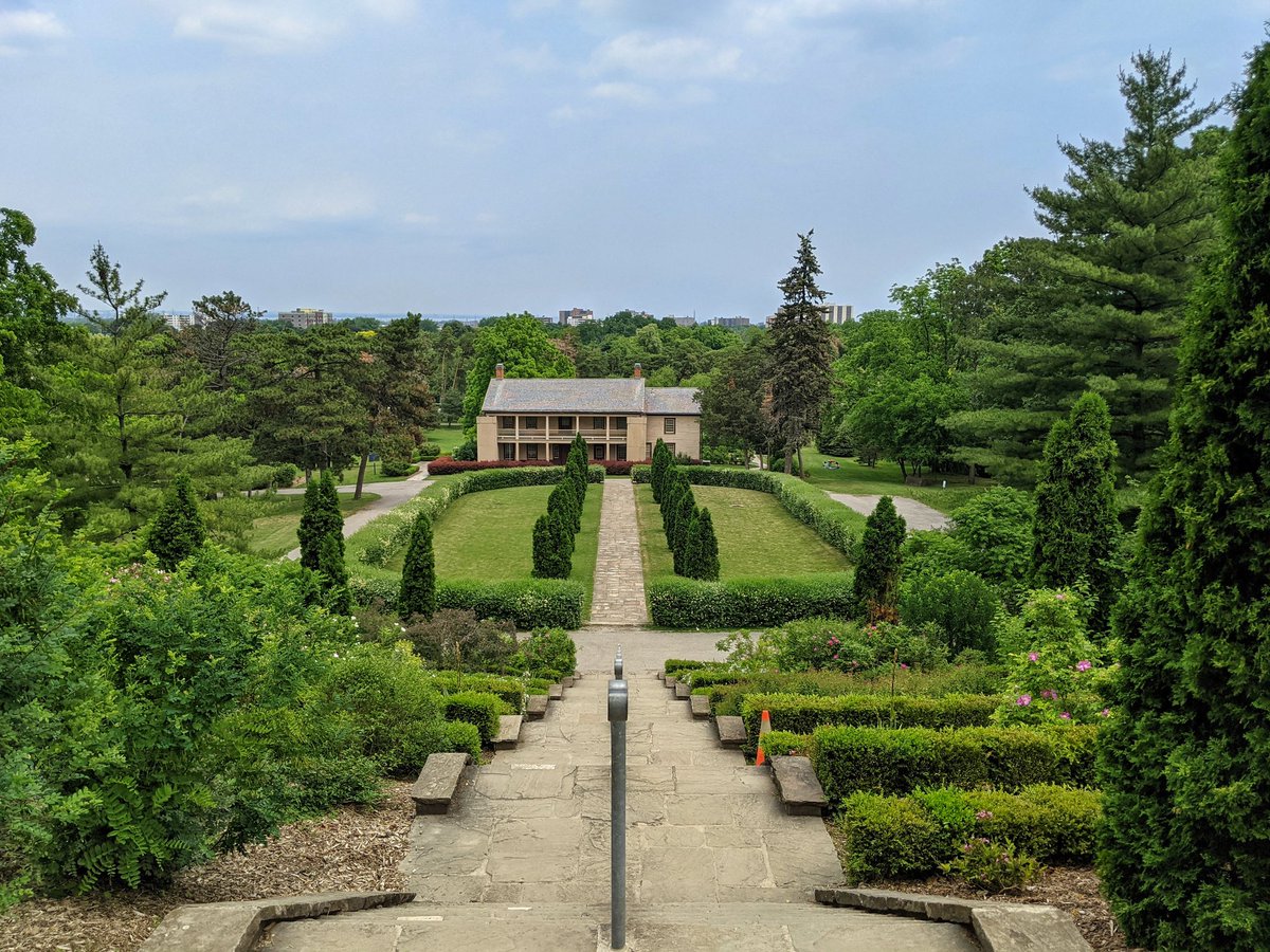
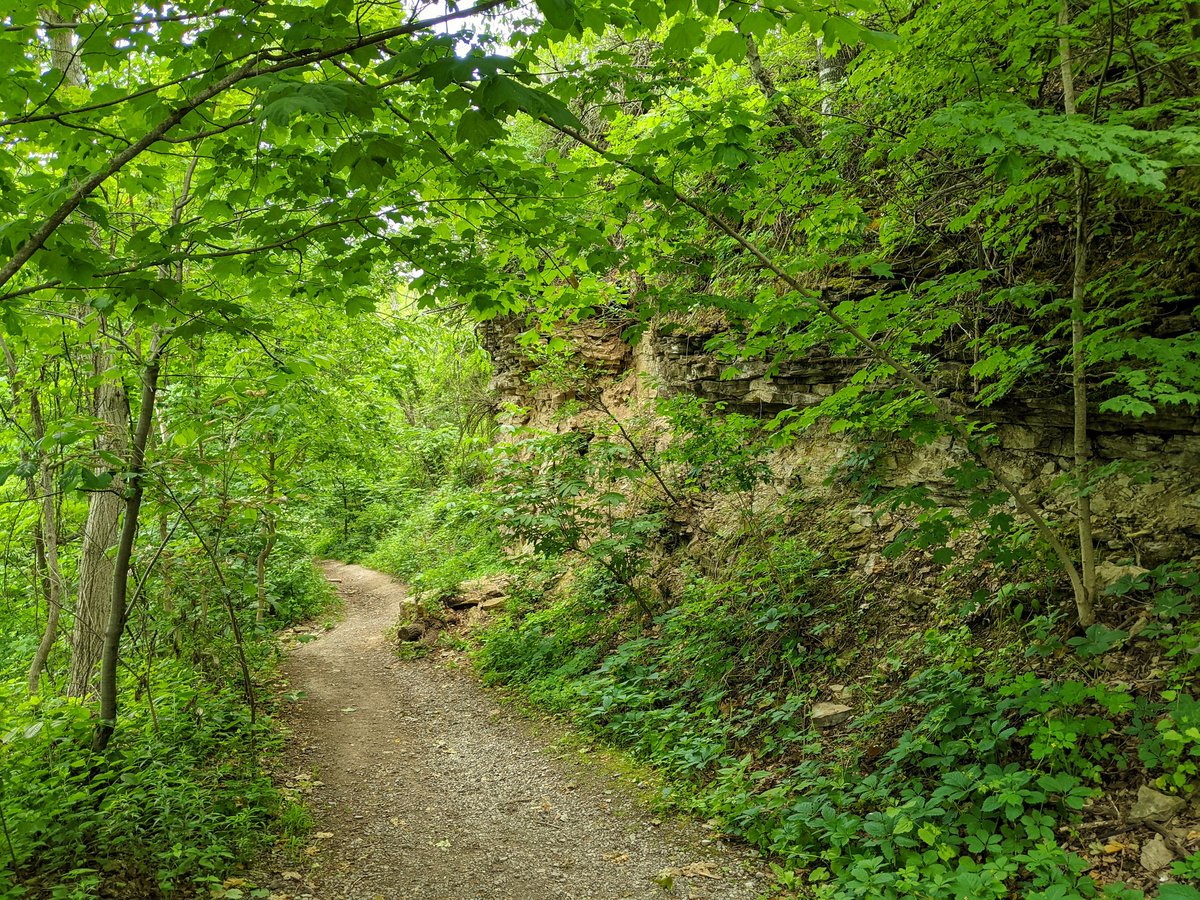
The creek is dry but the trails are still good. They lead me to Battlefield Park. And now I stand in the shadow of a colonial monument, with the backdrop of an indigenous drum circle down below mourning dead children from colonial genocide. A surreal moment of beauty and pain.

Starting up the escarpment, and the creek is flowing again. My hope for a waterfall, regardless of how much water there is, is being restored.


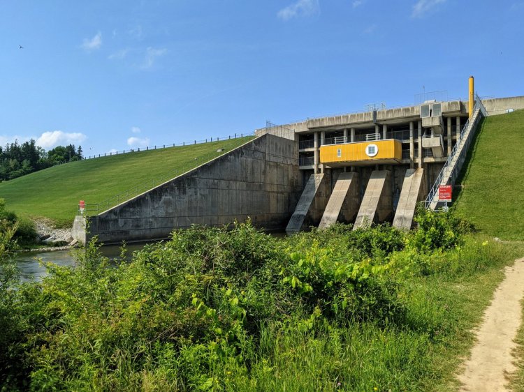
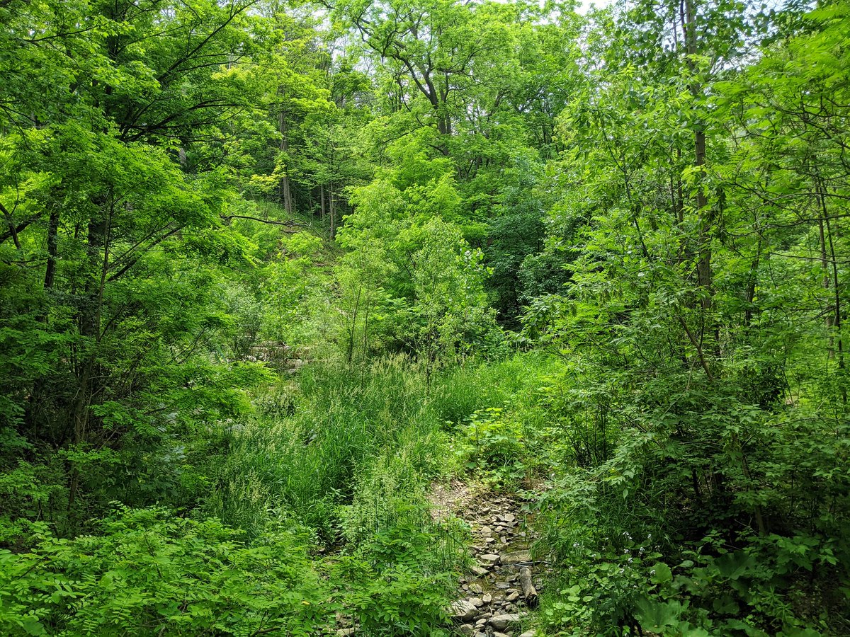
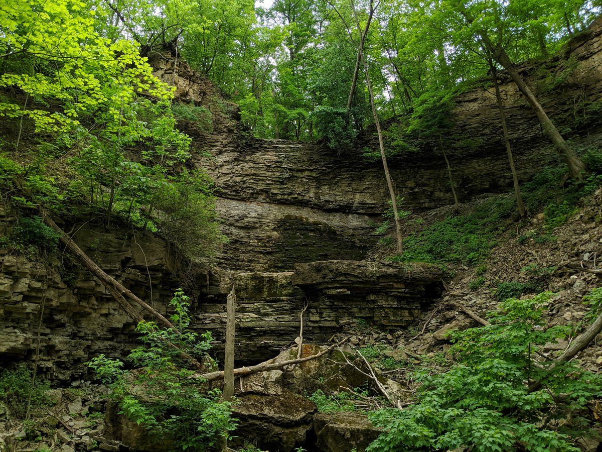
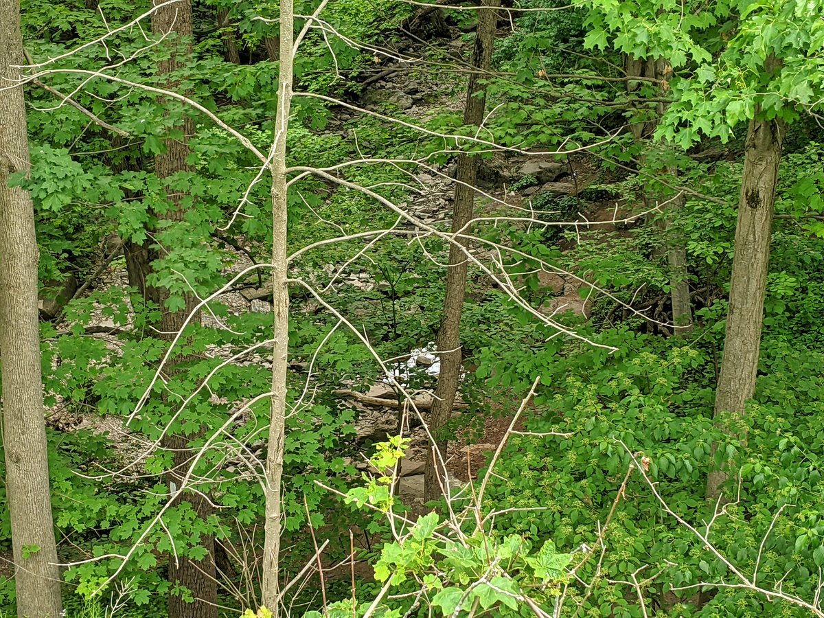
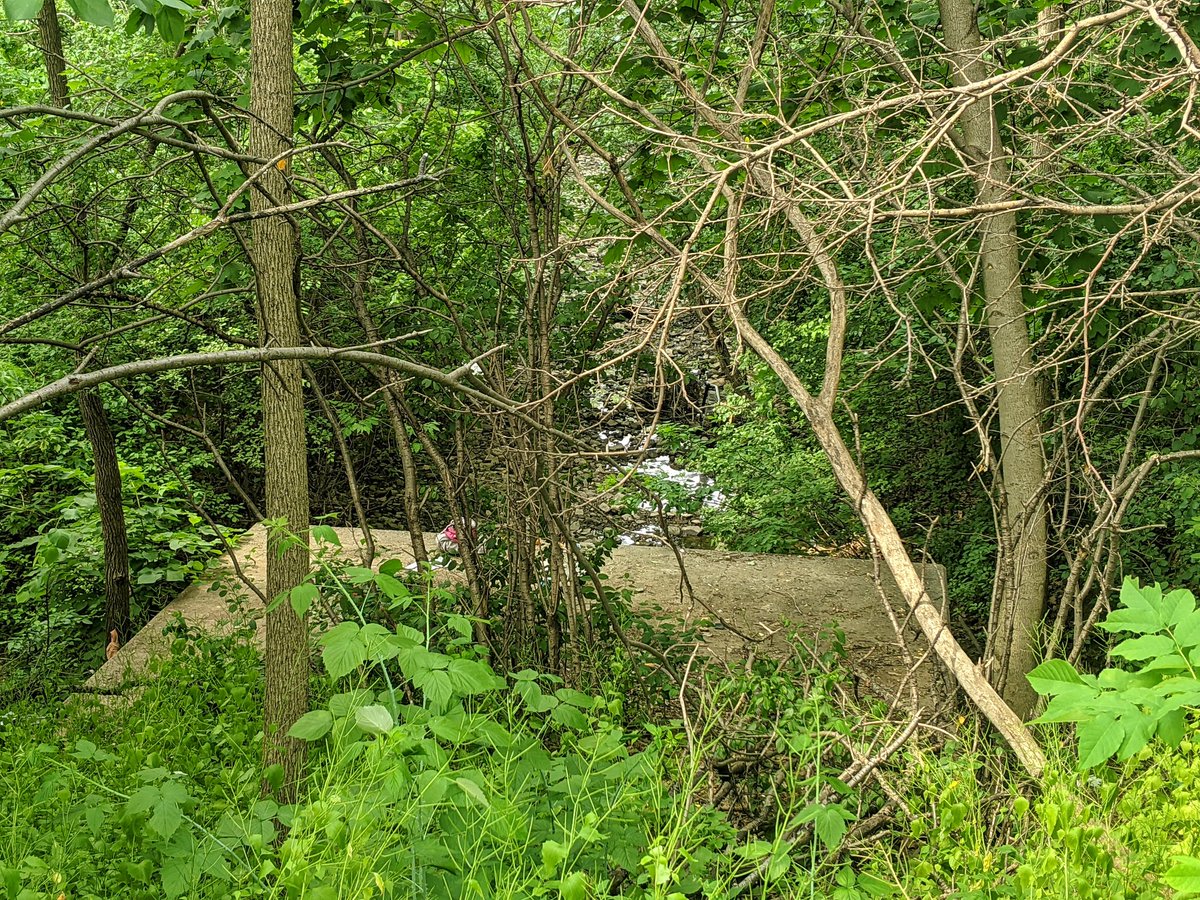
Drats. I’ve made it to Billy Green Falls and there is no flow over the crest. Bone dry. Oh well. Onwards and upwards.

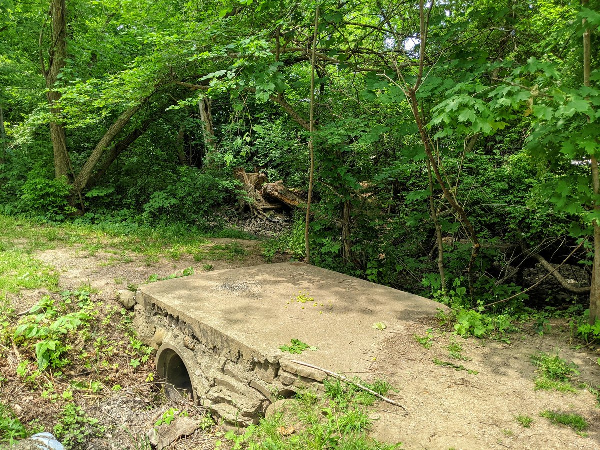
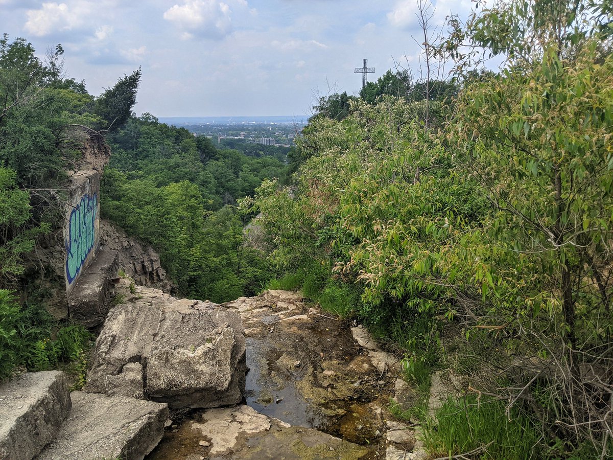
I’ve summited the escarpment, and found the confluence of Battlefield Creek and a small tributary. Again, dry, no surprise. It’s also way hotter up here. I’m trying to keep hydrated.


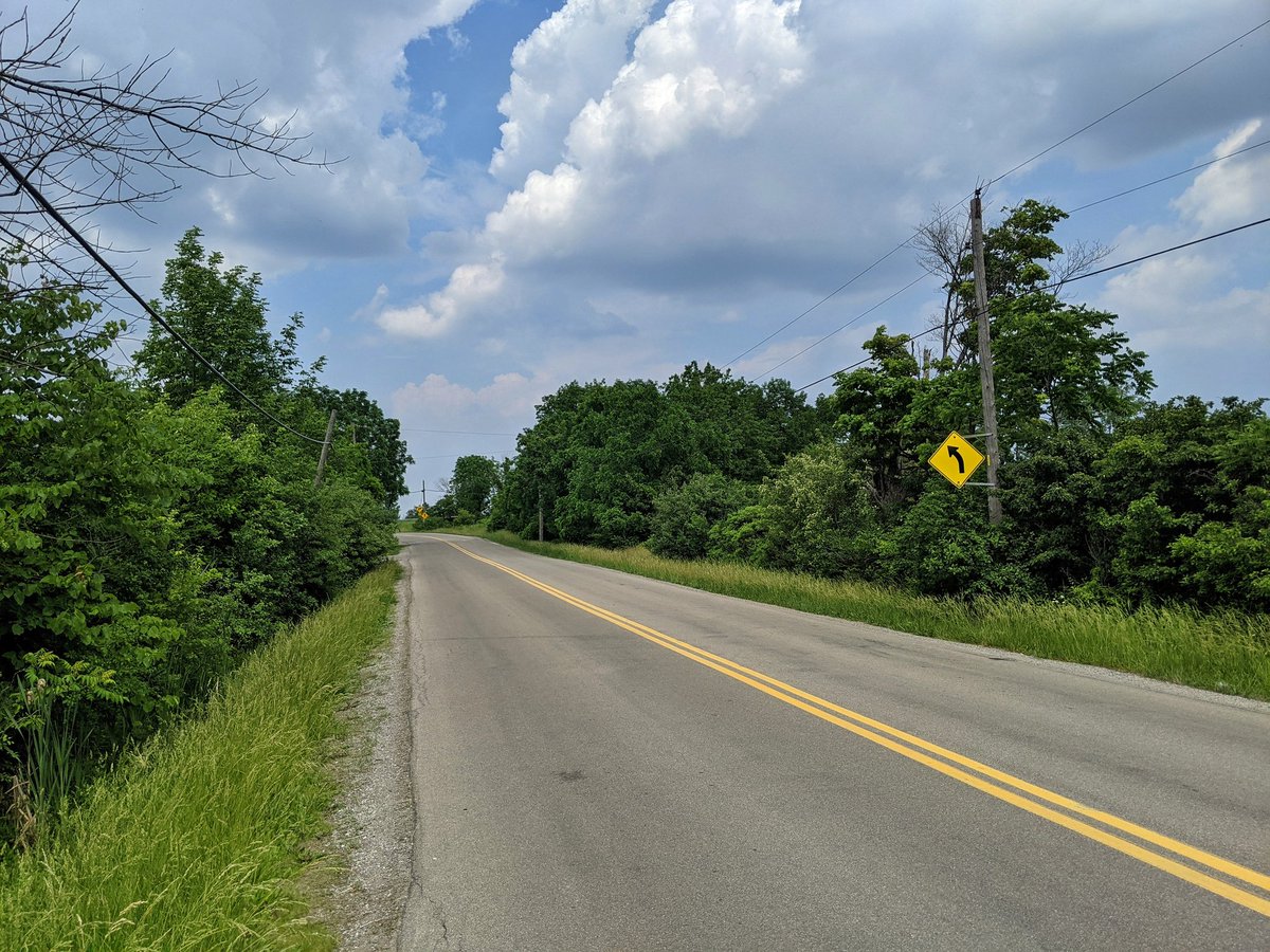
Ridge Road goes over Battlefield Creek, and then leads you towards Devil’s Punchbowl. Look no further for a prime candidate for better pedestrian priority in Hamilton. Part of this road carries a branch of the Bruce Trail, and all that it affords is a tight gravel shoulder.

I regret to say Devil’s Punchbowl does not have a waterfall. There seems to be groundwater seepage through the escarpment rock making the face of it damp, and perhaps feeding Stoney Creek below, but certainly no surface water over the crest.
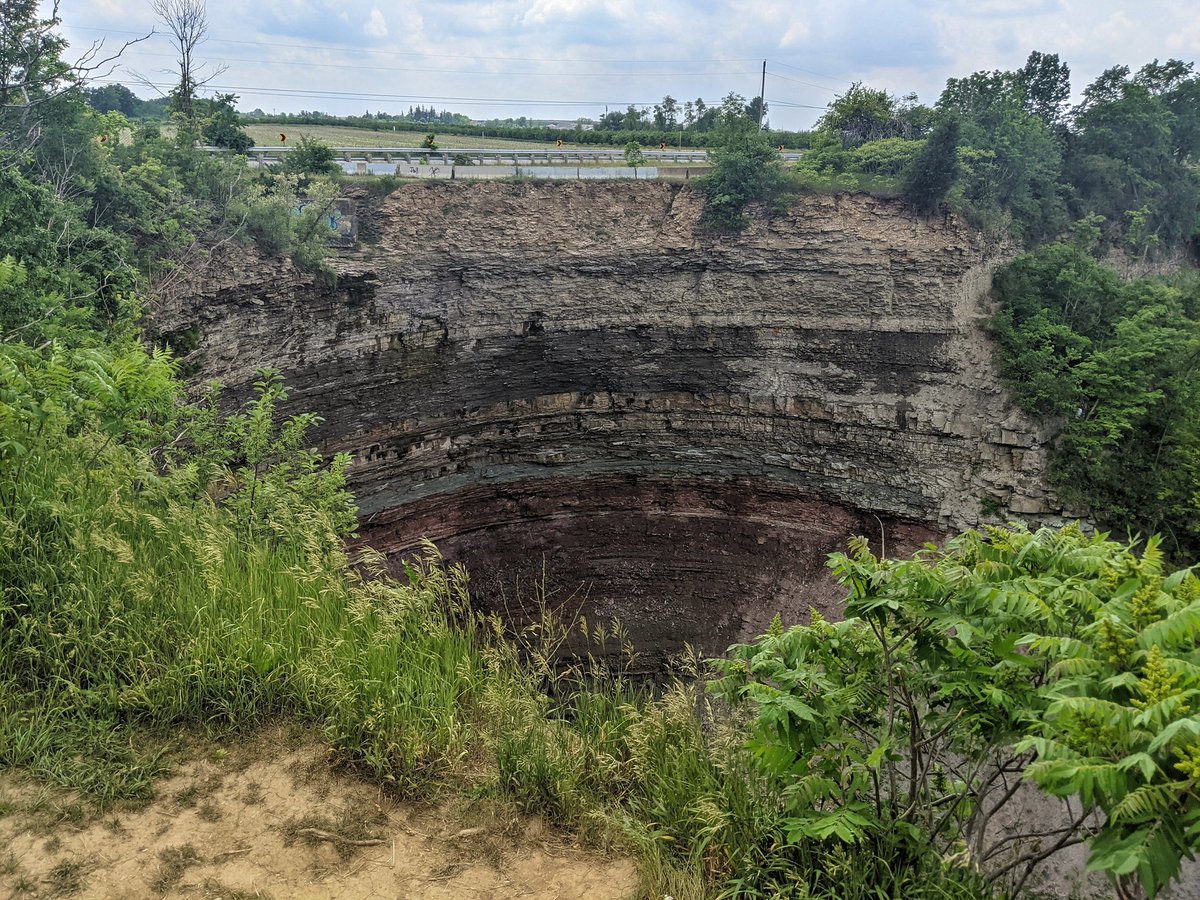

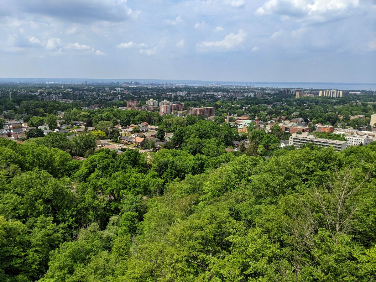
A look out above The Hammer, a peek upstream of the (not) waterfall, and past the Punchbowl again.

Down the mountain. Stoney Creek now has that trickle baseflow. It’s something.


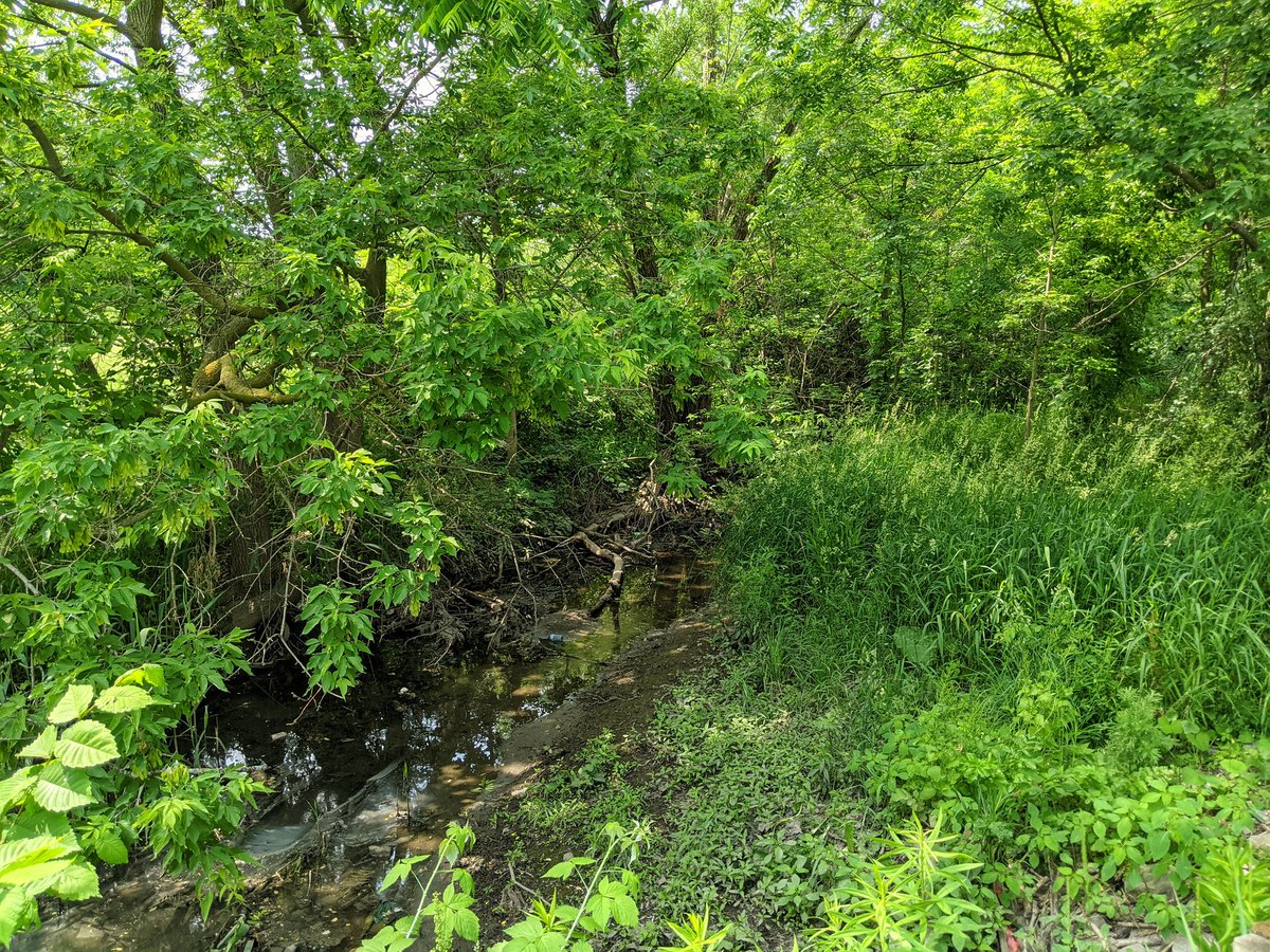
Lots of private property to navigate around. The creek dries up, and then flows again.


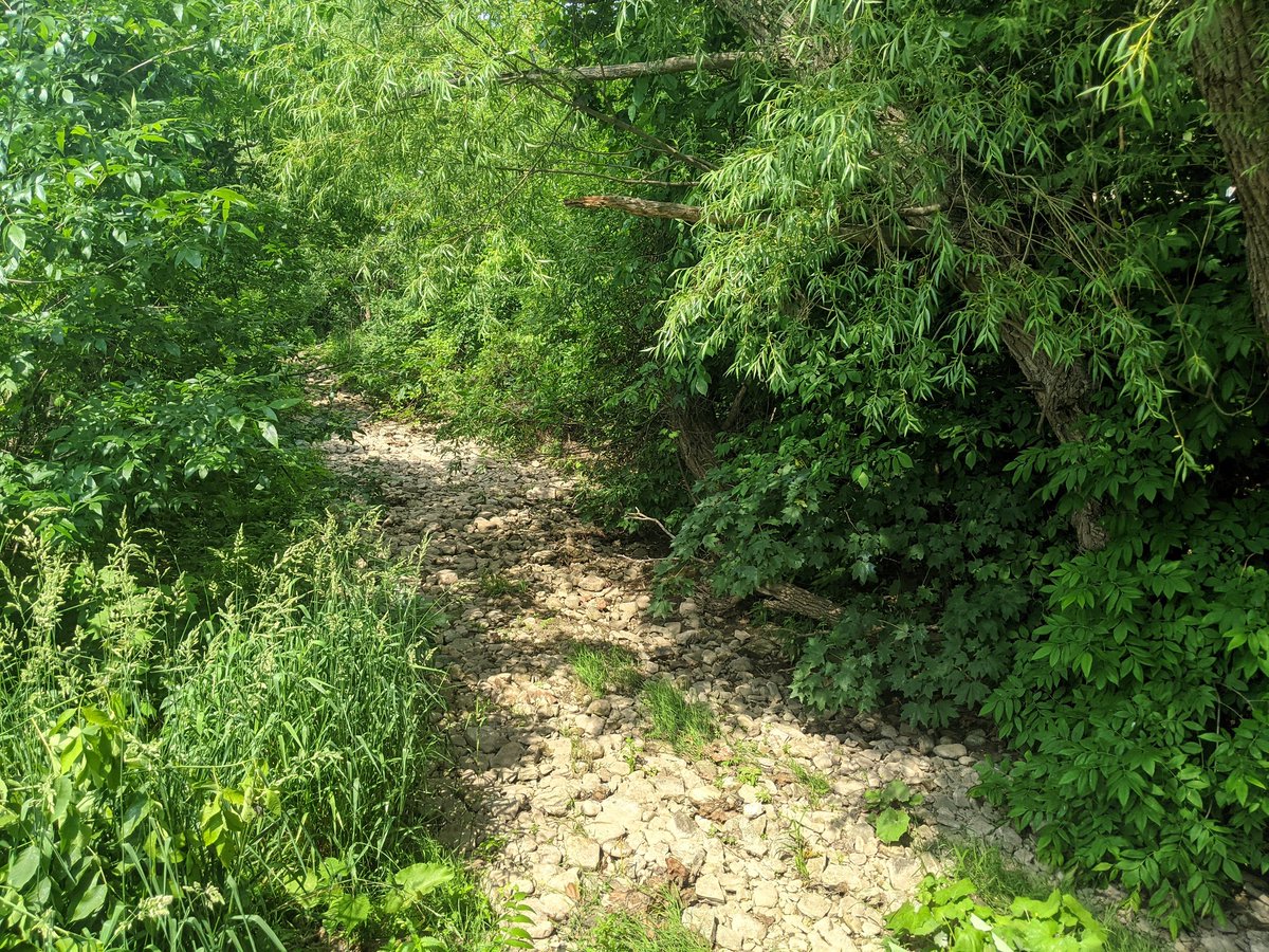

There’s one reach of Stoney Creek with a parallel trail. But it’s more of a footpath, and I’m getting eaten alive by mosquitoes. Gotta bail to the streets.

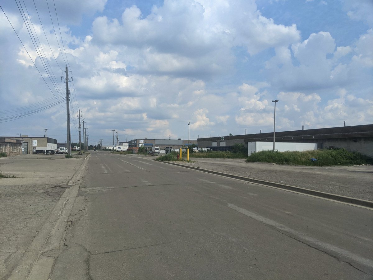
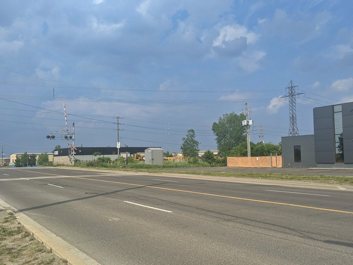
Forever long wander through industrial back roads, and across the QEW back to the lake. I’ve come full circle. That’s it for today’s walk.


Date: June 13, 2021
Length: 21.0 km
Type: Riverine